01 THE ANALYSIS
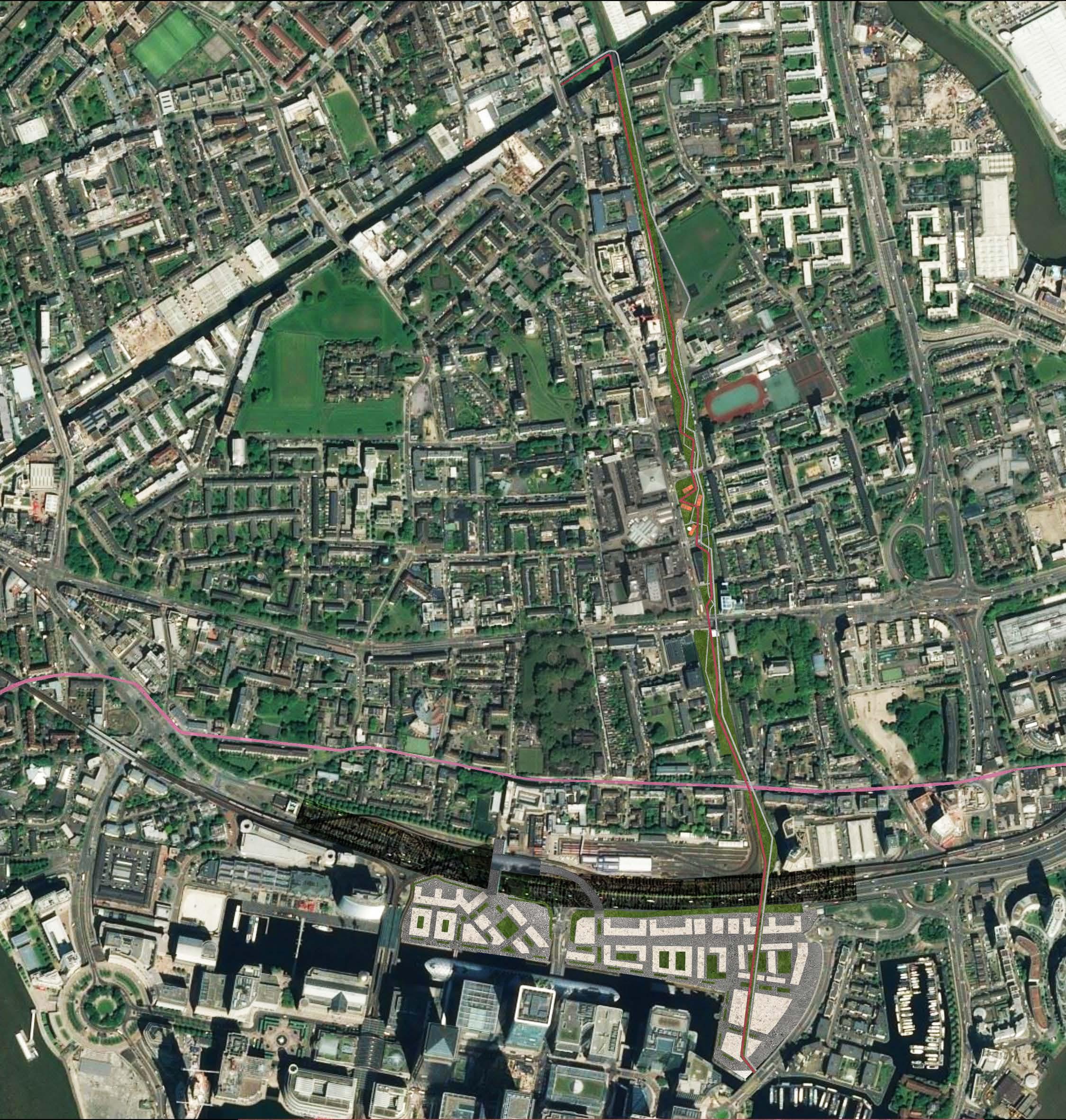
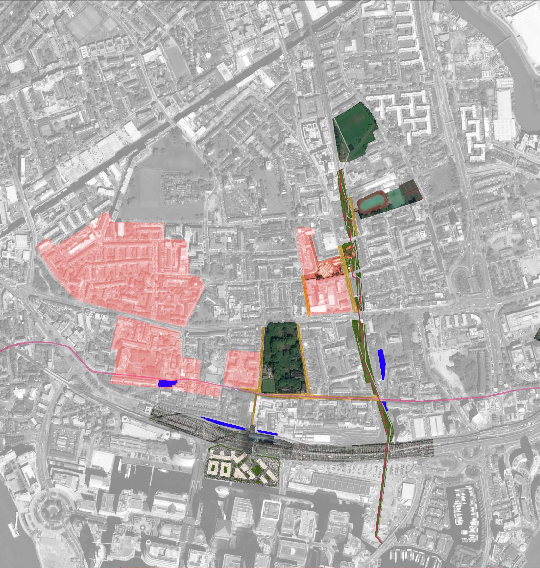
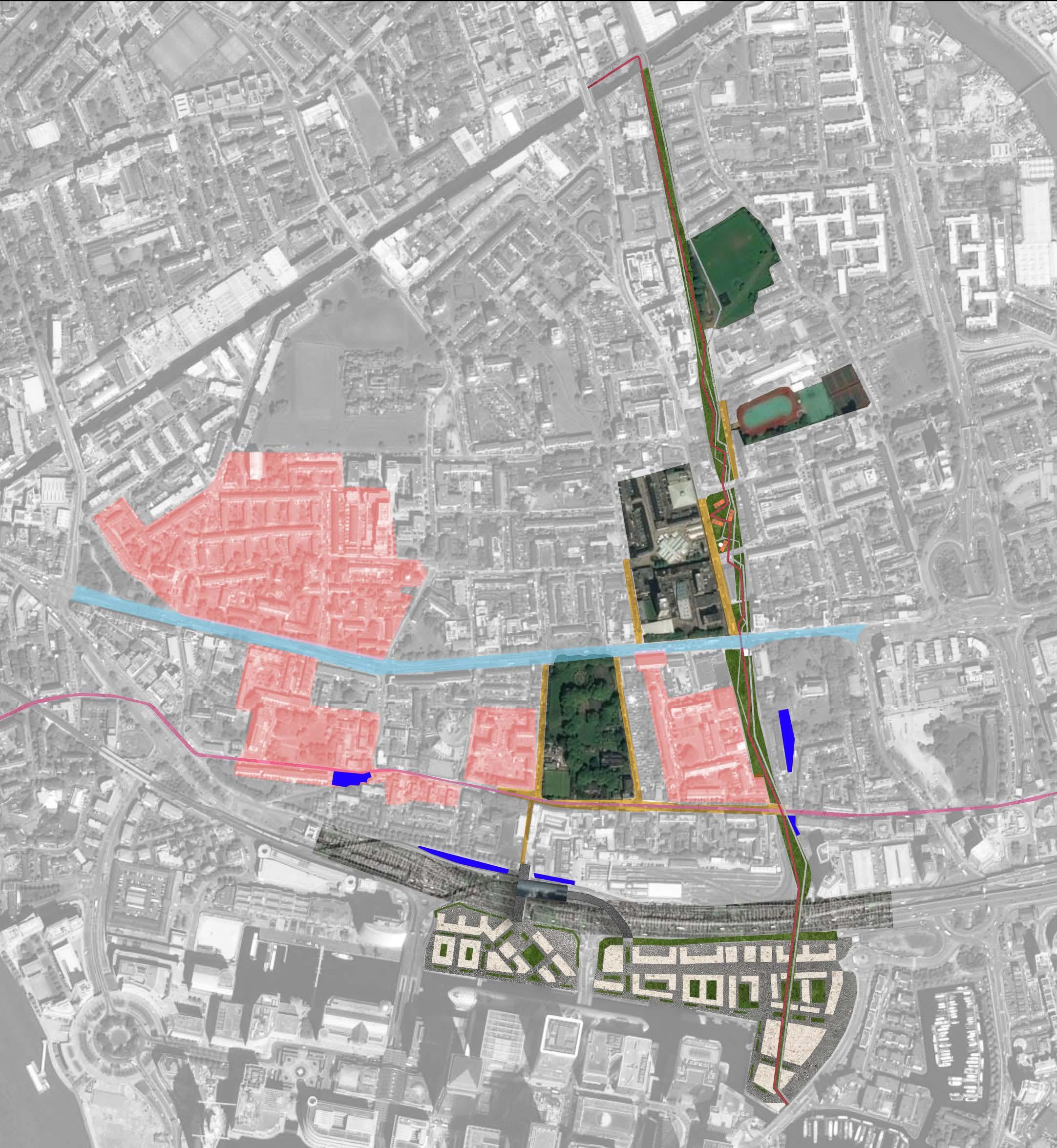
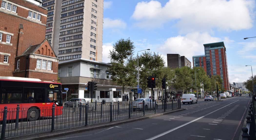
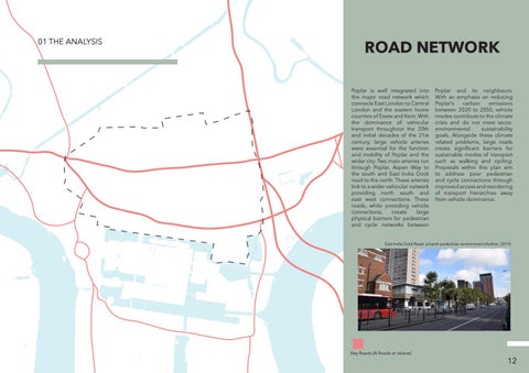
ROAD NETWORK Poplar is well integrated into the major road network which connects East London to Central London and the eastern home counties of Essex and Kent. With the dominance of vehicular transport throughout the 20th and initial decades of the 21st century, large vehicle arteries were essential for the function and mobility of Poplar and the wider city. Two main arteries run through Poplar, Aspen Way to the south and East India Dock road to the north. These arteries link to a wider vehicular network providing north south and east west connections. These roads, while providing vehicle connections, create large physical barriers for pedestrian and cycle networks between
Poplar and its neighbours. With an emphasis on reducing Poplar’s carbon emissions between 2020 to 2050, vehicle modes contribute to the climate crisis and do not meet socioenvironmental sustainability goals. Alongside these climate related problems, large roads create significant barriers for sustainable modes of transport such as walking and cycling. Proposals within this plan aim to address poor pedestrian and cycle connections through improved access and reordering of transport hierarchies away from vehicle dominance.
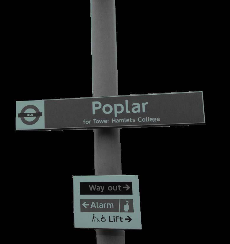
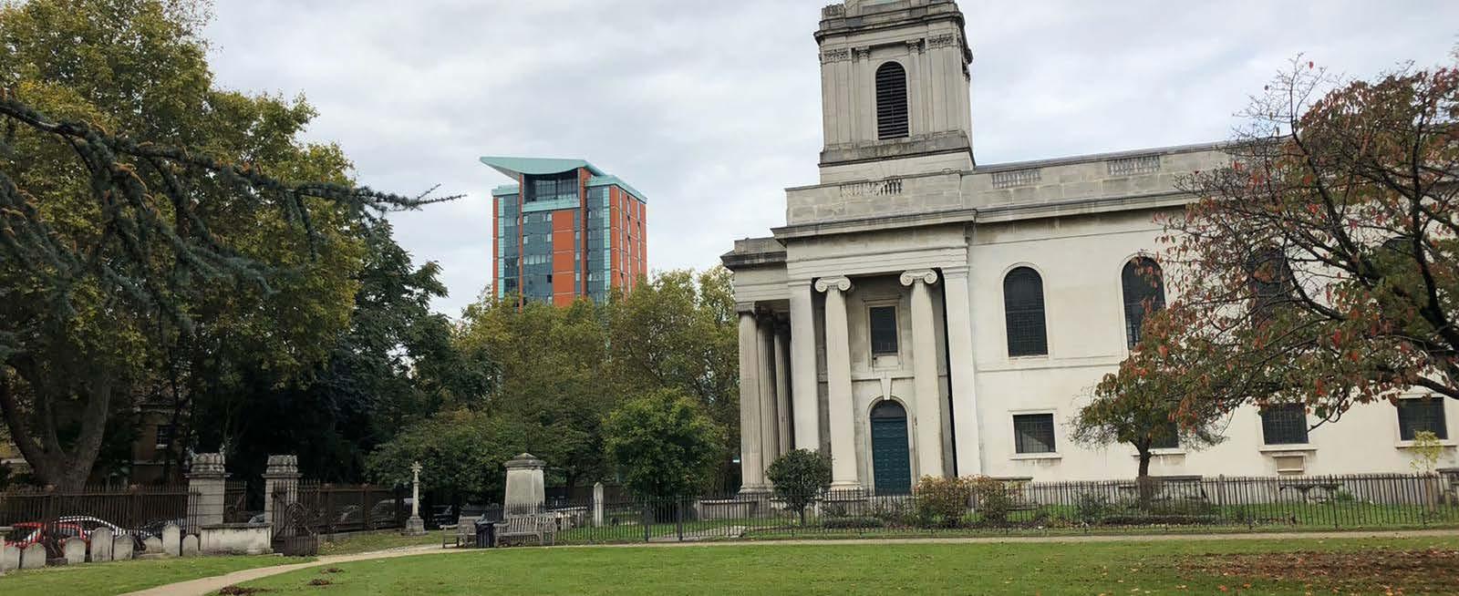
East India Dock Road- a harsh pedestrian environment (Author, 2019)
Key Roads (A Roads or above)
12