87 depending on the significance of the rain events, and we were unable to access direct spring water (Trimmer, 1994). For the water accessibility estimation, we noted information on how easy (or challenging) it was to access the creek area from the settlement. This helped us to plan accordingly for solutions for the creek and inform future designs. Beyond notating accessibility, team members took pictures to visually capture accessibility around the creek in different areas. Students made qualitative notes about water conditions, such as the trash present in the water, the presence of small fish, and the estimated volume of runoff that flowed into the creek.
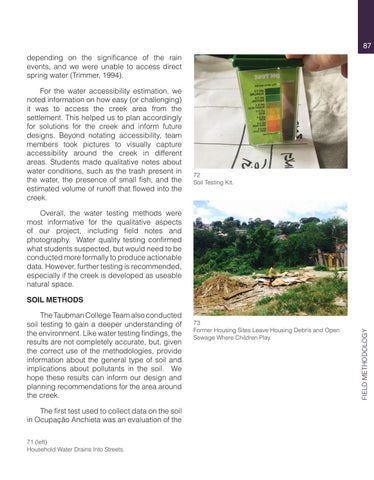
72 Soil Testing Kit.
Overall, the water testing methods were most informative for the qualitative aspects of our project, including field notes and photography. Water quality testing confirmed what students suspected, but would need to be conducted more formally to produce actionable data. However, further testing is recommended, especially if the creek is developed as useable natural space.
The Taubman College Team also conducted soil testing to gain a deeper understanding of the environment. Like water testing findings, the results are not completely accurate, but, given the correct use of the methodologies, provide information about the general type of soil and implications about pollutants in the soil. We hope these results can inform our design and planning recommendations for the area around the creek. The first test used to collect data on the soil in Ocupação Anchieta was an evaluation of the 71 (left) Household Water Drains Into Streets.
73 Former Housing Sites Leave Housing Debris and Open Sewage Where Children Play.
FIELD METHODOLOGY
SOIL METHODS


