
4 minute read
Soil Methods


depending on the significance of the rain events, and we were unable to access direct spring water (Trimmer, 1994).
For the water accessibility estimation, we noted information on how easy (or challenging) it was to access the creek area from the settlement. This helped us to plan accordingly for solutions for the creek and inform future designs. Beyond notating accessibility, team members took pictures to visually capture accessibility around the creek in different areas. Students made qualitative notes about water conditions, such as the trash present in the water, the presence of small fish, and the estimated volume of runoff that flowed into the creek.
Overall, the water testing methods were most informative for the qualitative aspects of our project, including field notes and photography. Water quality testing confirmed what students suspected, but would need to be conducted more formally to produce actionable data. However, further testing is recommended, especially if the creek is developed as useable natural space.
SOIL METHODS
The Taubman College Team also conducted soil testing to gain a deeper understanding of the environment. Like water testing findings, the results are not completely accurate, but, given the correct use of the methodologies, provide information about the general type of soil and implications about pollutants in the soil. We hope these results can inform our design and planning recommendations for the area around the creek.
The first test used to collect data on the soil in Ocupação Anchieta was an evaluation of the
71 (left) Household Water Drains Into Streets. 72 Soil Testing Kit.
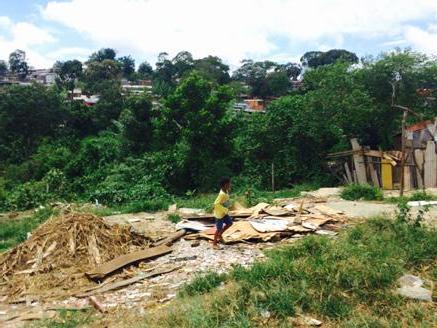
73 Former Housing Sites Leave Housing Debris and Open Sewage Where Children Play.
soil type on the site – particularly relating to the creek area. The soil-type evaluation test that we used was from Ritchey, McGrath, & Gehring (1979), which determines up to twelve different varieties of soil. This includes specifics from the broader categories of sandy, loam, and clay.
We started this test by site selection within the Occupation. We tested four sites focused around the creek – (1) urban farm, (2) top of the creek near street 17, (3) bottom of the creek near road 15, and the pump site. We used iPhone geolocation to maintain the specific coordinates of these sites.
After site selection, three major steps evaluate texture. For step one, we rolled the soil into a golf sized ball, squeezing the ball to see if the soil would stay together (Ritchey, McGrath, & Gehring, 1979). Next, the ball was pressed flat to form a cohesive ribbon (Ritchey, McGrath & Gehring, 1979). The last step involved adding water to create a small puddle of mud and evaluating the grit feel of the soil (Ritchey, McGrath & Gehring, 1979). The ability and results of each test helps to identify the type of soil.
The results of the soil type evaluation revealed that there are a variety of different soil types in the creek area of the site, primarily silt and sand. At the top of the creek the soil was found to be silty-clay, at the spring source the soil was found to be sand, at the farm site the soil was found to be silt, and at the bottom of the creek the soil was found to be sand again. Sandy soil has a coarser texture with a larger particle size, implying that there will be fewer nutrients and less water retention (Ritchey, McGrath & Gehring, 1979; Growth as Nature Intended, 2011). Clay is the opposite; it has a finer texture with a smaller particle size, a greater number of nutrients, and is better at water retention (Ritchey, McGrath & Gehring, 1979; Growth as Nature Intended, 2011). Silt soil is a moderate particle size and is the middle ground between sand and clay regarding water retention and nutrients (Ritchey, McGrath & Gehring, 1979; Growth as Nature Intended, 2011). This test can reveal what plants might be suggested in our designs moving forward.
We then used the Rapitest Soil Test Kit to test for pH, Nitrogen, Phosphorus, and Potash. We tested soil in the same locations as the soil type evaluation. Everything necessary to complete the testing was available in the kits, which the team purchased off Amazon.com. Moreover, detailed instructions were included with the kit.
The results of the soil test indicate that the soil conditions are generally the same in the locations. The top of the creek site is a bit of an outlier, however, with more acidic soil and deficient phosphorus. One challenge was that not all the results were conclusive, makings comparisons and consistencies challenging.
Overall, the soil testing confirmed our suspicions about the type of soil and potential pollution, but like the water testing, lacked detail to be conclusively informative. Conducting the soil type evaluation gives the Taubman Team a better basis for potential design and plans for the creek area moving forward.
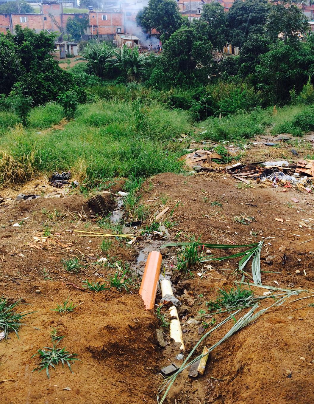
74 (left) Trash Accumulates in Water Disposal.


