DRONE AND OBSERVATION BASED MAPPING Mapping is an essential methodology for understanding the current conditions of Ocupação Anchieta. In order to produce an accurate base map of Ocupação Anchieta, the Taubman Team hired a drone to photograph the site. The drone images provide information regarding land-use, road networks, dumping sites, building footprints, and natural features. This information is also critical for providing a targeted action plan to address issues of housing, infrastructure, waste management, culture, and the creek and springs. The Taubman Team was able to develop a basic land-use map of the site. While this map is not yet comprehensive, it provides
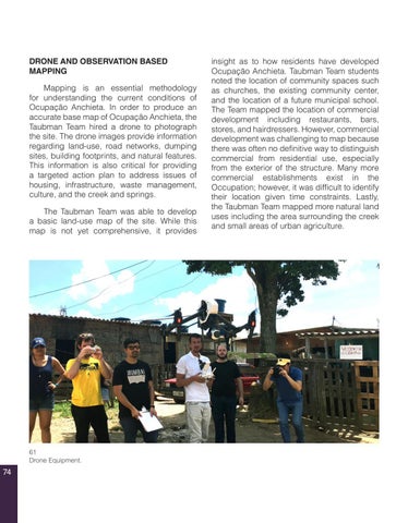
61 Drone Equipment.
74
insight as to how residents have developed Ocupação Anchieta. Taubman Team students noted the location of community spaces such as churches, the existing community center, and the location of a future municipal school. The Team mapped the location of commercial development including restaurants, bars, stores, and hairdressers. However, commercial development was challenging to map because there was often no definitive way to distinguish commercial from residential use, especially from the exterior of the structure. Many more commercial establishments exist in the Occupation; however, it was difficult to identify their location given time constraints. Lastly, the Taubman Team mapped more natural land uses including the area surrounding the creek and small areas of urban agriculture.


