MIQUEL PLANAS ES
ÁLBUM DE CARTOGRAFÍAS PERSONALES DEL ESTRECHO DE MAGALLANES
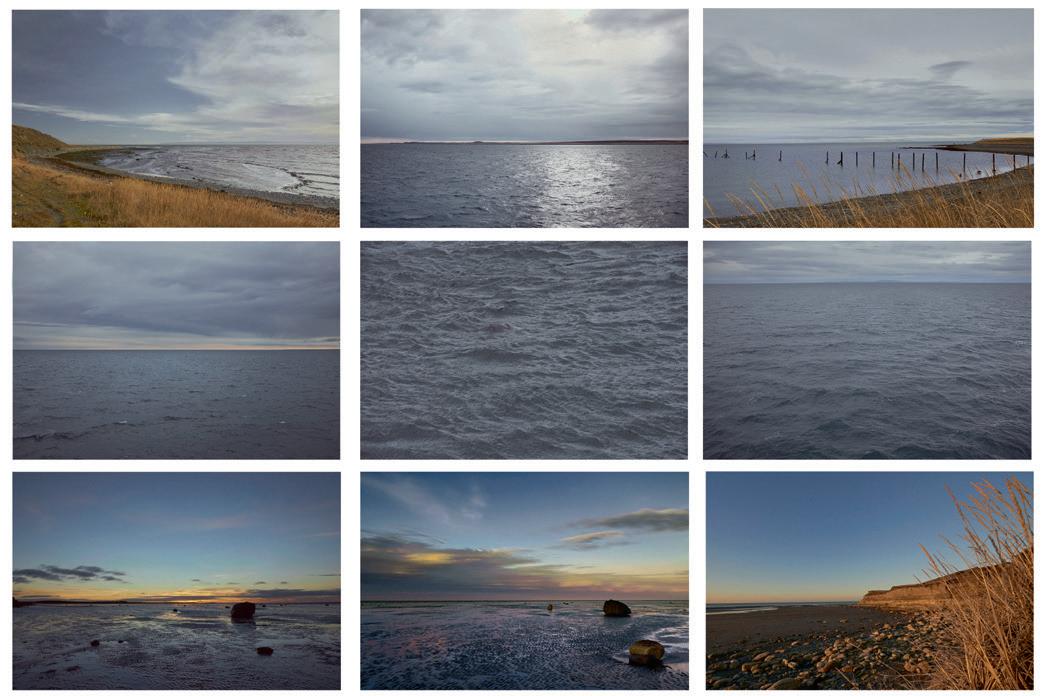
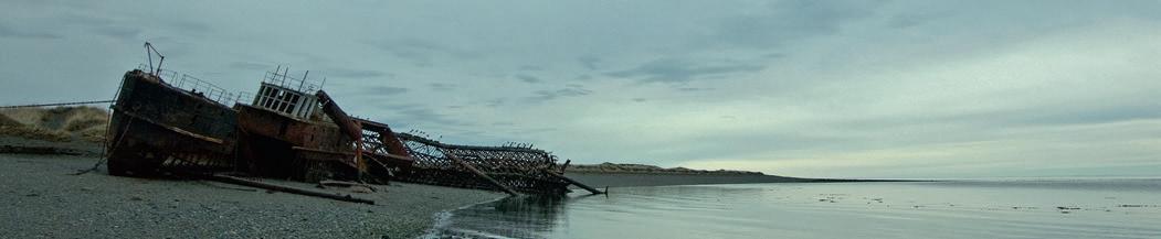
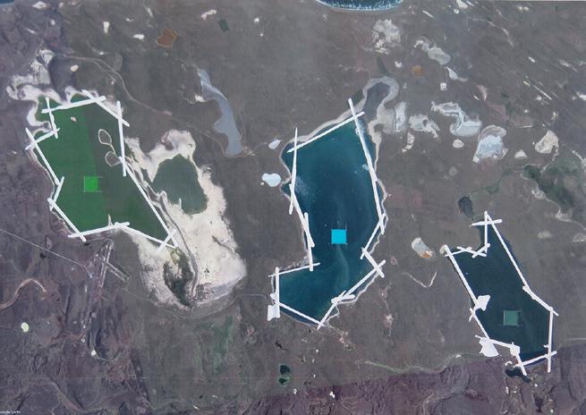
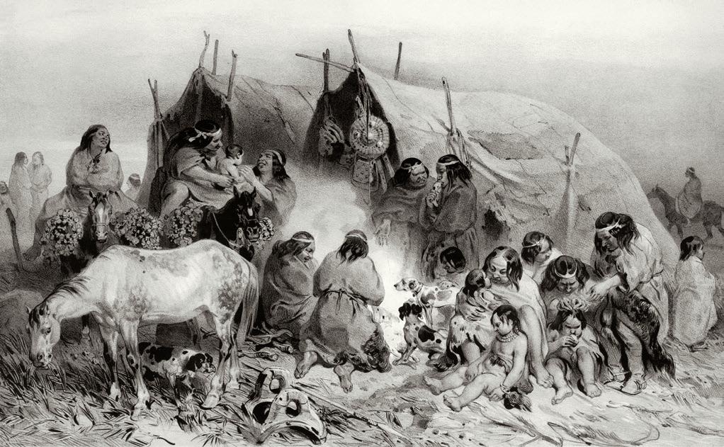
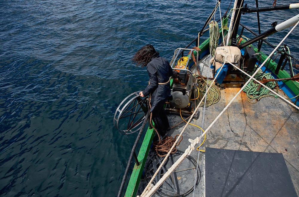
Cuarenta imágenes mutadas y un pantone interpretado El álbum es el relato de un acercamiento a un territorio desconocido para el viajero, una evocación de la travesía de los primeros europeos que surcaron el estrecho. Pero, aunque se trata de un relato actualizado, pues quienes se acercan ahora cuentan con fotografías aéreas y mapas de enorme precisión, acaba conectando con aquellos primeros viajes europeos al “descender” a ese espacio geográfico y adentrarse en él, vivirlo y experimentarlo, despojándose de la racionalidad cartográfica y conectando con todas esas otras dimensiones e impactos para los sentidos y el espíritu que no recogen las representaciones bidimensionales. – ALBUM OF PERSONAL CARTOGRAPHIES OF THE STRAIT OF MAGELLAN Forty mutated images and one interpreted pantone The album is the story of an approach to an unknown territory for the traveler, an evocation of the journey of the first Europeans who crossed the strait. But, although it is an updated story, because those who approach now have aerial photographs and maps of enormous precision, finally connecting with those first European trips to “descend” to that geographic space and enter it, live it and experience it, shedding the cartographic rationality and connecting with all those other dimensions and impacts for the senses and spirit that two-dimensional representations do not capture.
Intervención sobre 40 fotografías. Técnica mixta Intervention on 40 photographs. Mixed technique 29,7 x 42 cm c/u. 2018 58