THIERRY DUPRADOU FR / CL
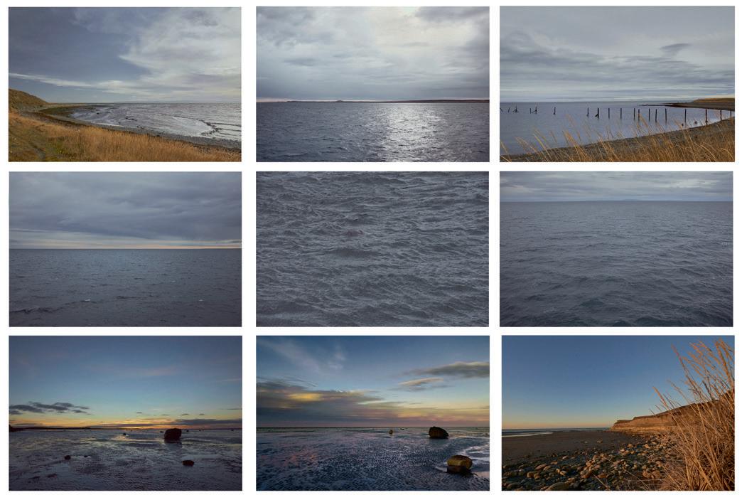
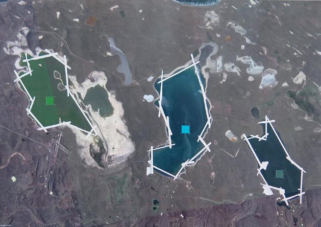
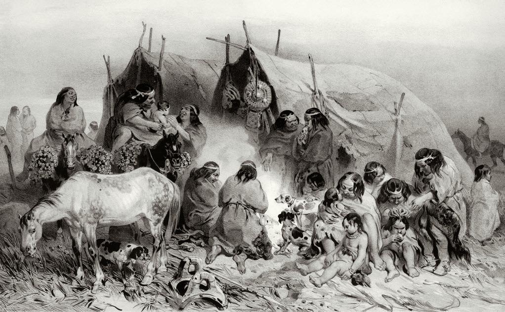
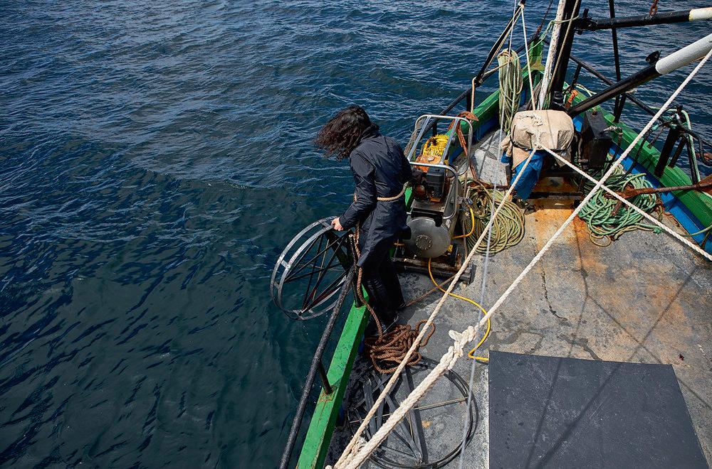
CARTOGRAFÍA VISUAL DEL TERRITORIO Thierry Dupradou, en estas imágenes tomadas por toda la Región de Magallanes y la Antártica Chilena, elimina los horizontes y el contorno preciso de las formas, para centrarse en los detalles casi abstractos, en los dibujos caprichosos de la geología y la vegetación, acercándonos a la esencia de ese medio, a la mirada de quienes lo habitaron y obtuvieron de él, gracias a un conocimiento minucioso de todos sus pliegues, los recursos necesarios para vivir en simbiosis con él durante milenios. – VISUAL CARTOGRAPHY OF THE TERRITORY Thierry Dupradou, in these images taken throughout the Magallanes Region, removes the horizons and the precise contour of the forms, to focus on the almost abstract details, on the whimsical drawings of geology and vegetation, he brings us closer to the essence of that environment, to the gaze of those who inhabited it and obtained from it, thanks to a meticulous knowledge of all its folds, the necessary resources to live in symbiosis with it for millennia.
Serie de 12 fotografías / Series of 12 photographs 40 x 40 cm c/u. 2012 - 2015 46