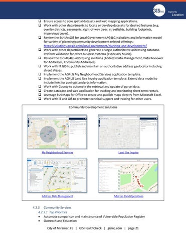
❑ Ensure access to core spatial datasets and web mapping applications. ❑ Work with other departments to locate or develop datasets for desired features (e.g. overlay districts, easements, right-of-way trees, streetlights, building footprints, impervious cover). ❑ Review the Esri ArcGIS for Local Government (AG4LG) solutions and information model for variety of planning/community development related offerings: https://solutions.arcgis.com/local-government/planning-and-development/ ❑ Work with other departments to generate a single authoritative addressing database. Perform validation for other business systems (especially Munis). ❑ Review the Esri AG4LG addressing solutions (Address Data Management, Data Reviewer for Addresses, Community Addresses). ❑ Work with IT GIS to publish and maintain an authoritative address geolocator including street aliases. ❑ Implement the AG4LG My Neighborhood Services application template. ❑ Implement the AG4LG Land Use Inquiry application template. Extend data model to include links for zoning/standards information. ❑ Work with County to automate the retrieval and update of parcel data. ❑ Create database and web application for tracking and monitoring short-term rentals. ❑ Leverage Esri Maps for Office to create and publish maps directly from Microsoft Excel. ❑ Work with IT and GIS to promote technical support and training for other users. Community Development Solutions
My Neighborhood Services
Land Use Inquiry
Address Data Management
Address Field Operations
4.2.3 Community Services 4.2.3.1 Top Priorities • Automate comparison and maintenance of Vulnerable Population Registry • Outreach and Education City of Miramar, FL | GIS HealthCheck | gisinc.com | page 21


