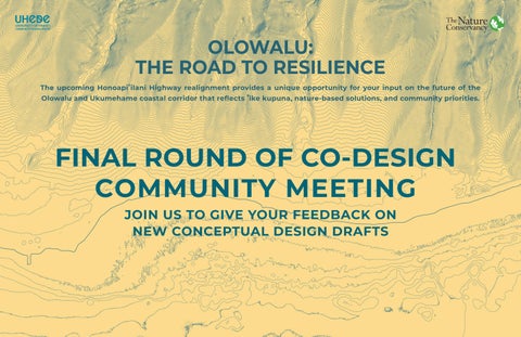
OLOWALU: THE ROAD TO RESILIENCE The upcoming Honoapi!ilani Highway realignment provides a unique opportunity for your input on the future of the Olowalu and Ukumehame coastal corridor that reflects !ike kupuna, nature-based solutions, and community priorities.
FINAL ROUND OF CO-DESIGN COMMUNITY MEETING JOIN US TO GIVE YOUR FEEDBACK ON NEW CONCEPTUAL DESIGN DRAFTS