Call us t o g et your complete work flow s olution today ! Efficiency and versatility that will accelerate productivity comes part of a workflow solution that includes the FC-6000 field controller, Magnet software, a HiPer VR receiver and the GT-1200/GT-600 single-operator robotic system. The power of longrange reflectorless measurements comes in your choice of 1”, 2” or 3” GT-1200 models or 2”, 3” or 5” GT -600 models.
PLS# 1
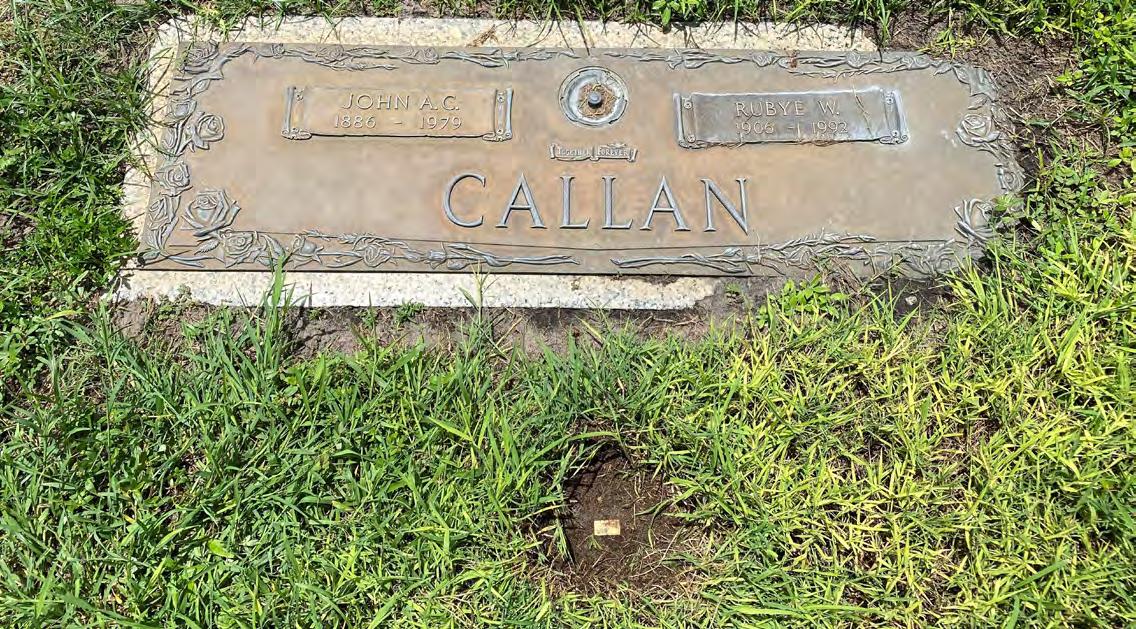
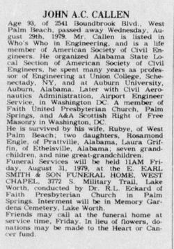
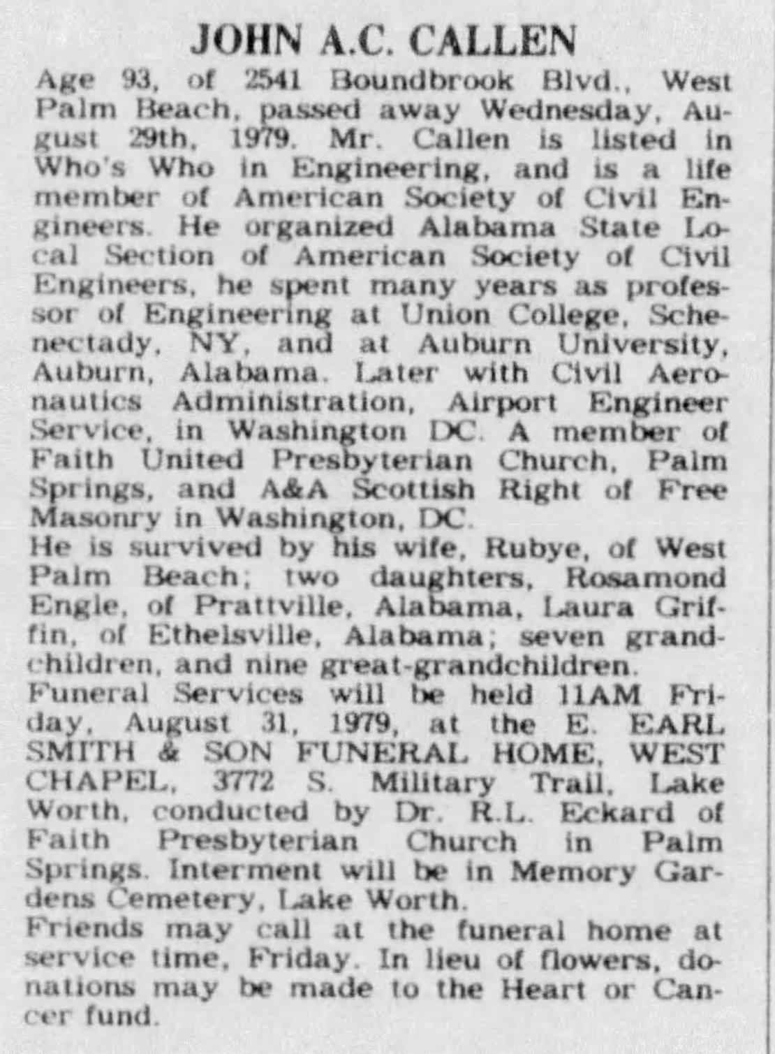
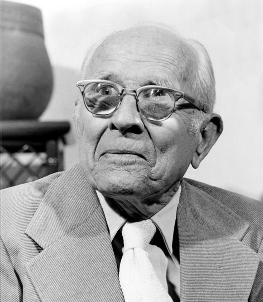
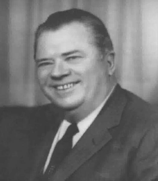
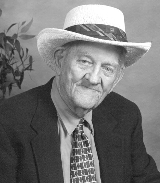
John A. C. Callen
FROM THE Archives
The F lorida Surveyor is the official publication of the Florida Surveying and Mapping Society, also known as FSMS. It is published monthly for the purpose of communicating with the professional surveying community and related professions who are members of FSMS. Our award winning publication informs members eleven months out of the year about national, state, and district events and accomplishments, as well as articles relevant to the surveying profession. In addition, continuing educational courses are also available.
PRESIDENT’S Message
March
2025
All,
As we all celebrate National Surveyors Week (March 16-22, 2025) this year, let us all take a pause from our busy schedules to recognize, celebrate, and remember the lives of all the Surveyors that have recently passed on and those that may be starting to fade from our memories. I truly believe they are still with us in our hearts, in our work, and in the stories and adventures they shared, together with the ones we had with them. Whether they are part of your family, a friend, a coworker, or your boss/mentor, they all gave us part of themselves, passing the baton forward, and in doing so they will live on through us and the work we do.
When we research records of past surveys and surveyors, we are putting ourselves into their shoes, walking in their footsteps, reading their minds, and trying to understand the decisions they made. Hopefully their notes and the evidence they left behind will guide us to make the right decisions in our own lives and the surveys we produce. Every survey you perform in the field sh ould be a thank you to your mentors, and an appreciation of the skills, knowledge and experience they honored you with.
Recognizing and remembering those adventurers from our past, as well as the heritage, knowledge and wealth of experience, skills and practices that they passed on through those that are now left behind is extremely important to continue the process. These are just some of the reasons why our celebration of National Surveyors Week is important.
It’s now up to us to take upon our shoulders this huge responsibility to share this knowledge and continue to build upon it. With the advent of new technologies coming at us from every direction it’s going to be tough to
PRESIDENT’S Message
navigate and build that bridge between the past and present, but it’s a task that must be done.
The original FSPLS and now the Florida Surveying and Mapping Society was started by some of those individuals, who were visionaries, and believed in the value of what we do as a profession and that we needed a structure in place to bring us all together and share our knowledge, unique experiences, and encourage and train the next generation to carry on.
Those individuals/members that participate in our Society as offi cers and directors are all volunteers and share a strong belief that we are important, our work has meaning and is necessary for the protection of the Public, in that we take the necessary steps to do it right even when no one is looking. They believe in giving back and paying it forward to the profession that has been more than just a job, but a way of life that brings pride and satisfaction in everything we do.
I have been invited to a couple of multi-chapter meetings to celebrate National Surveyors’ Week, and I look forward to going to them and participating in the National recognition that President Ronald Reagan bestowed upon us in 1984. However, I also want to recognize all of our chapters for doing their part in bringing this recognition to our membership and promoting it within their communities. We may be the second oldest profession in the world, but we have the best job in the world!
With that said, I want to congratulate all of our members, all Surveyors in the USA, plus our staff and the Colleges and Universities that we su pport and that keep giving us graduates. For they are our future and will continue this National celebration of our Profession in the coming years and beyond.
May we all be looked upon with a nod of satisfaction for a job well done by those who came before us, and may we continue to remember them and pass on their heritage.
Respectfully submitted,
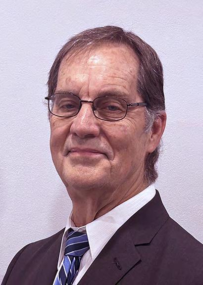
Richard D. Pryce, RLS/PSM
2024-25 Districts and
Directors
District 1 - Northwest
Bay, Calhoun, Escambia, Franklin, Gadsden, Gulf, Holmes, Jackson, Jefferson, Leon, Liberty, Madison, Okaloosa, Santa Rosa, Taylor, Wakulla, Walton, Washington
Constitution & Resolution Advisory Committee Pablo Ferrari
Annual Meeting Committee Allen Nobles
Legal & Legislative Committee Jack Breed
Surveying & Mapping Council Randy Tompkins
Strategic Planning Committee Bob Johnson
Executive Committee Rick Pryce
Special Committees
Equipment Theft Manny Vera, Jr.
Awards Committee Howard Ehmke
UF Alumni Recruiting Committee Russell Hyatt
Professional Practice Committee Lou Campanile, Jr.
Workforce Development Committee Lou Campanile, Jr.
Liaisons
CST Program Alex Jenkins
FDACS BPSM Don Elder
Surveyors in Government
Richard Allen
Academic Advisory Justin Thomas UF / Todd Bates FAU
FES
Lou Campanile, Jr.
Practice Sections
Geospatial Users Group
Young Surveyors Network
Richard Allen
Melissa A. Padilla Cintrón, SIT
round the State A
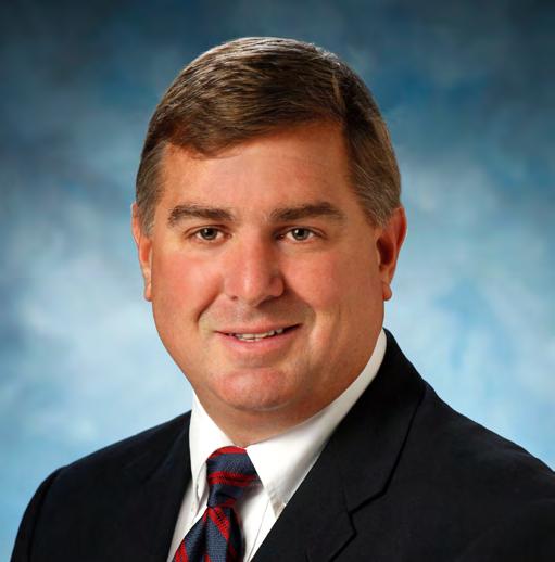
From Palm Beach Chapter President Todd Bates
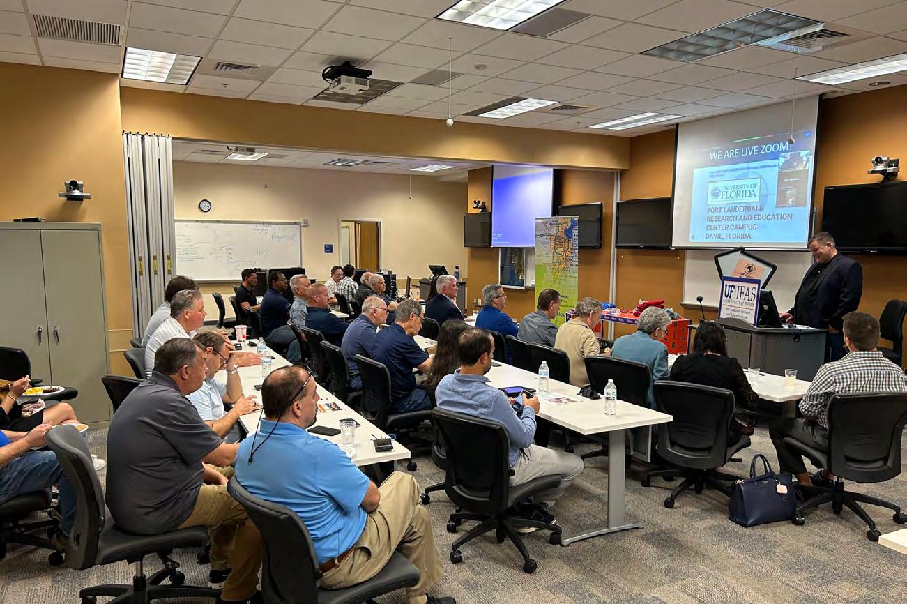
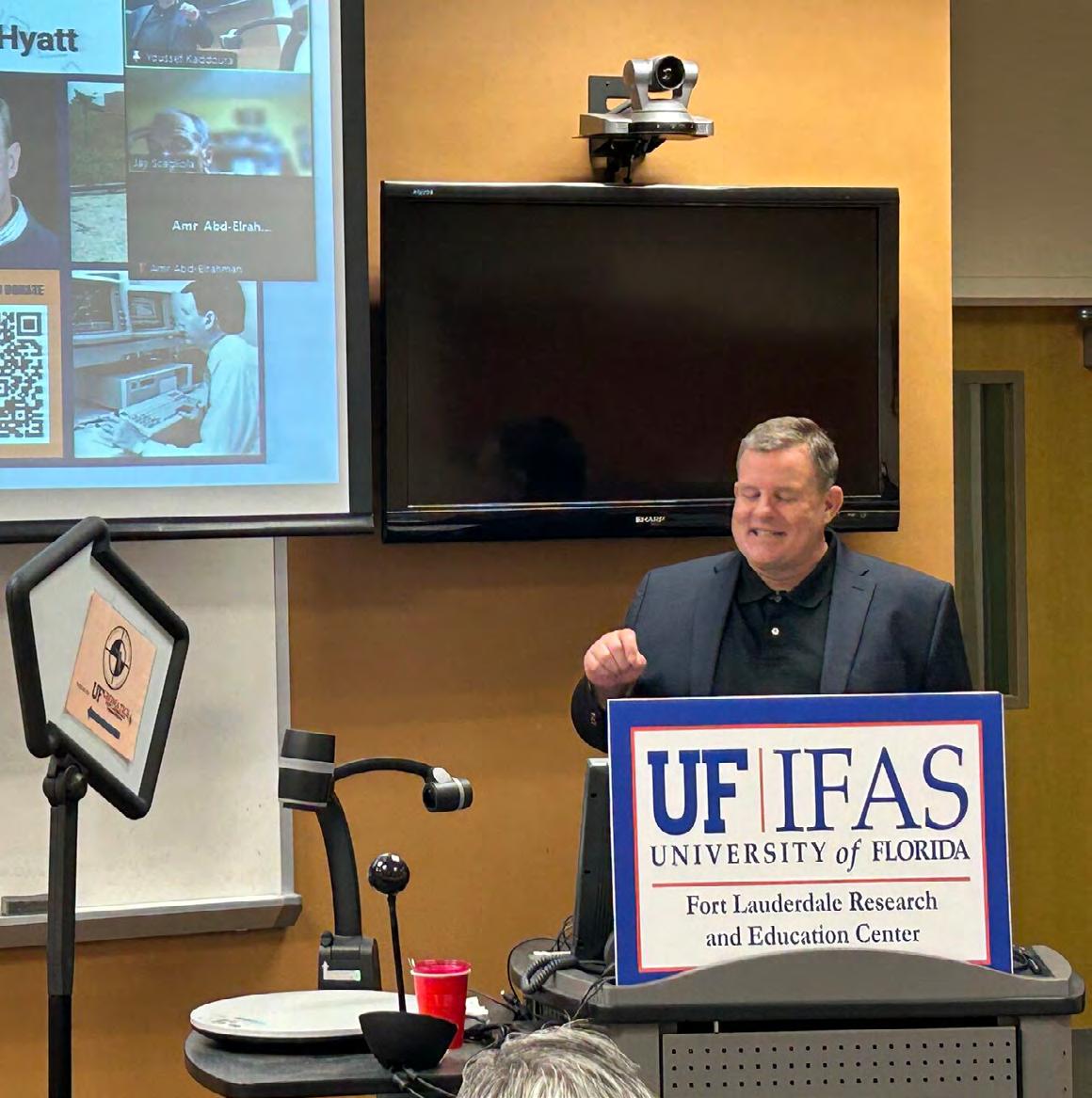
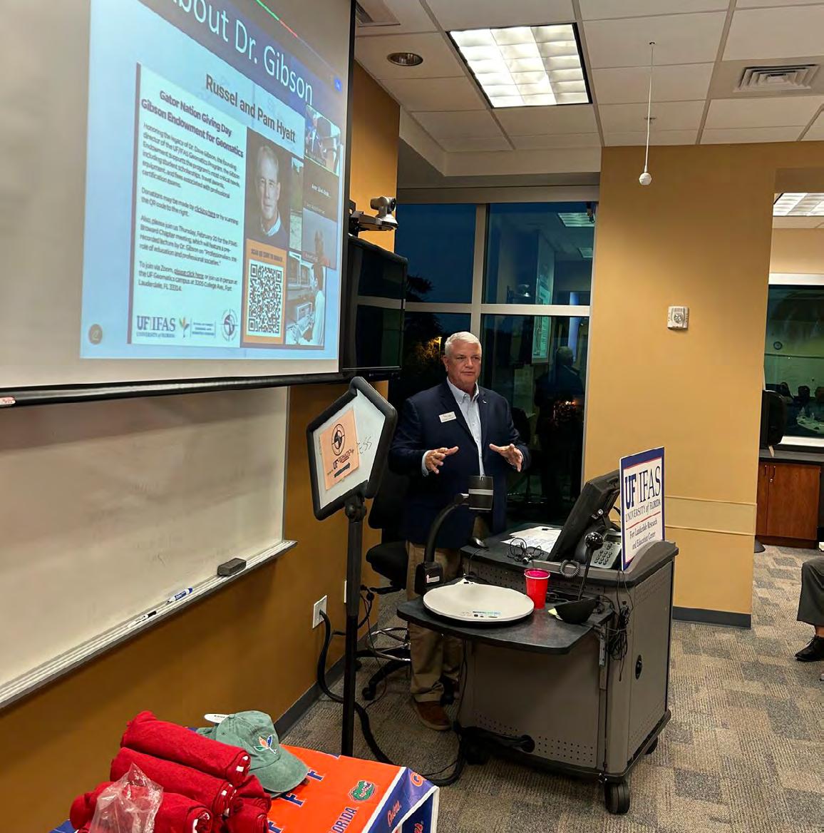
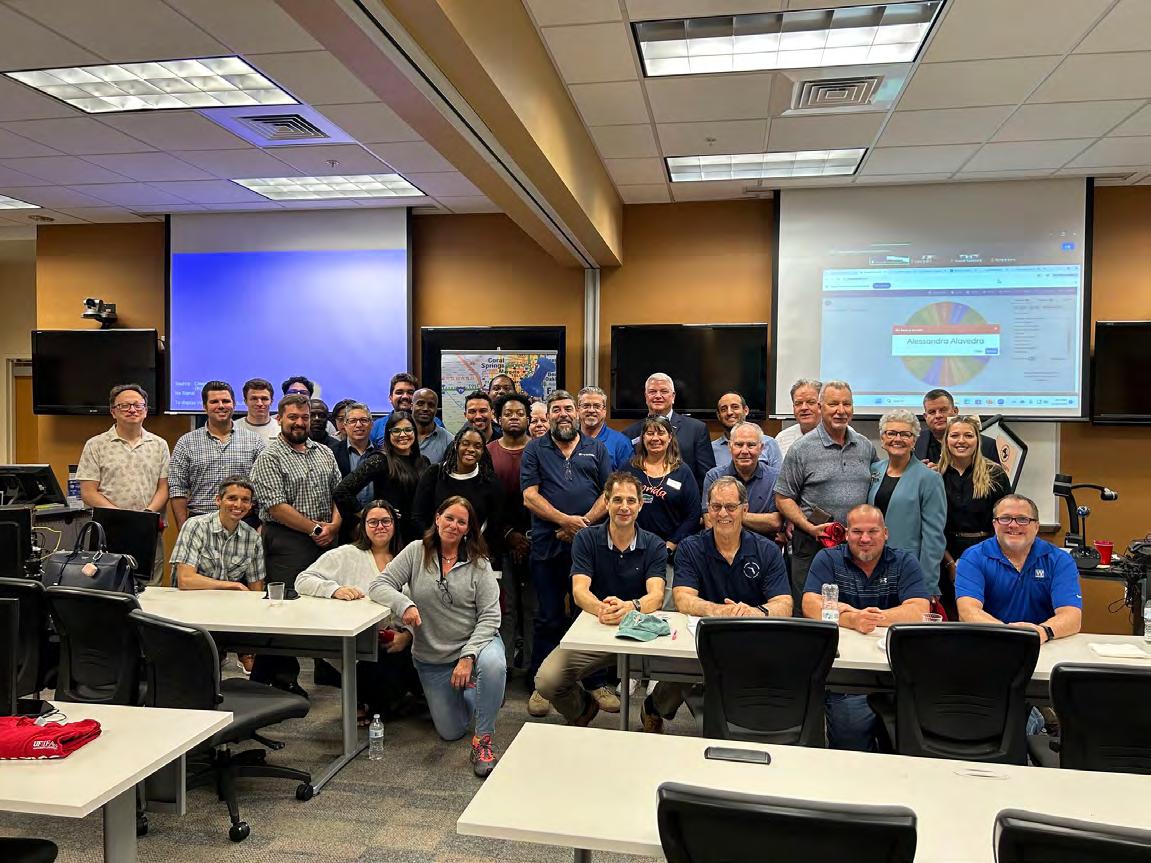
The Broward County Chapter of the Florida Surveying and Mapping Society hosted an outstanding meeting that brought together surveyors both in-person and virtually. 102 Geomatics professionals and students registered for the event, attending online or via ZOOM. Dr. Gibson's compelling video lecture on "Professionalism" sparked thoughtful discussions and provided CEC credits to FSMS member PSMs.
Russell Hyatt & Pam Hyatt demonstrated exceptional dedication by traveling across Florida to support the Dr. David W. Gibson Endowment for Geomatics. Mrs. Betty Gibson and the Gibson family made our meeting even more special by joining virtually via ZOOM.
UF Geomatics Professor John N. "Jack" Breed, UF Geomatics alum Dodie Keith-Lazowick, and FSMS State-wide President Richard Pryce led an energetic discussion focusing on PAC, Geomatics education, and professional society engagement. The evening brought together students from multiple institutions, including my Cadastral Systems students from Florida Atlantic University Geomatics and UAS Mapping students from the University of Florida Geomatics. Professionals joined in Florida, nation-wide and internationally from countries Ireland, England, Saudi Arabia, Yemen, Trinidad & Tobago, Yemen, India, Nigeria, Indonesia, Bangladesh, Poland, Liberia, Canada, and beyond, creating a global gathering of surveying expertise. Many thanks to Katie Britt & Dr. Youssef Omar Kaddoura, UF Geomatics for their support and all across the Gator Nation.
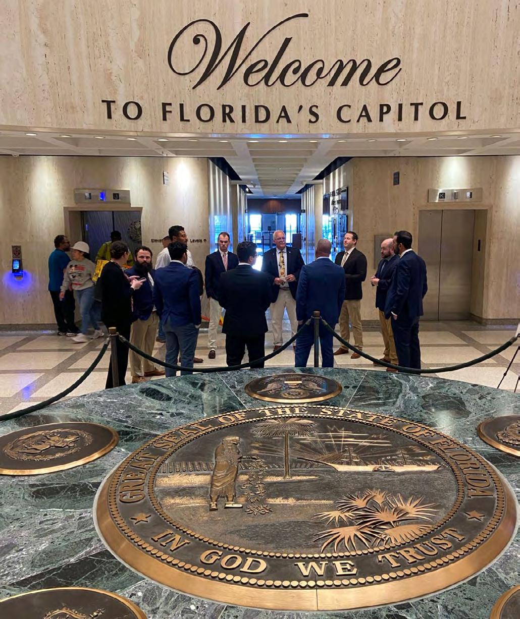
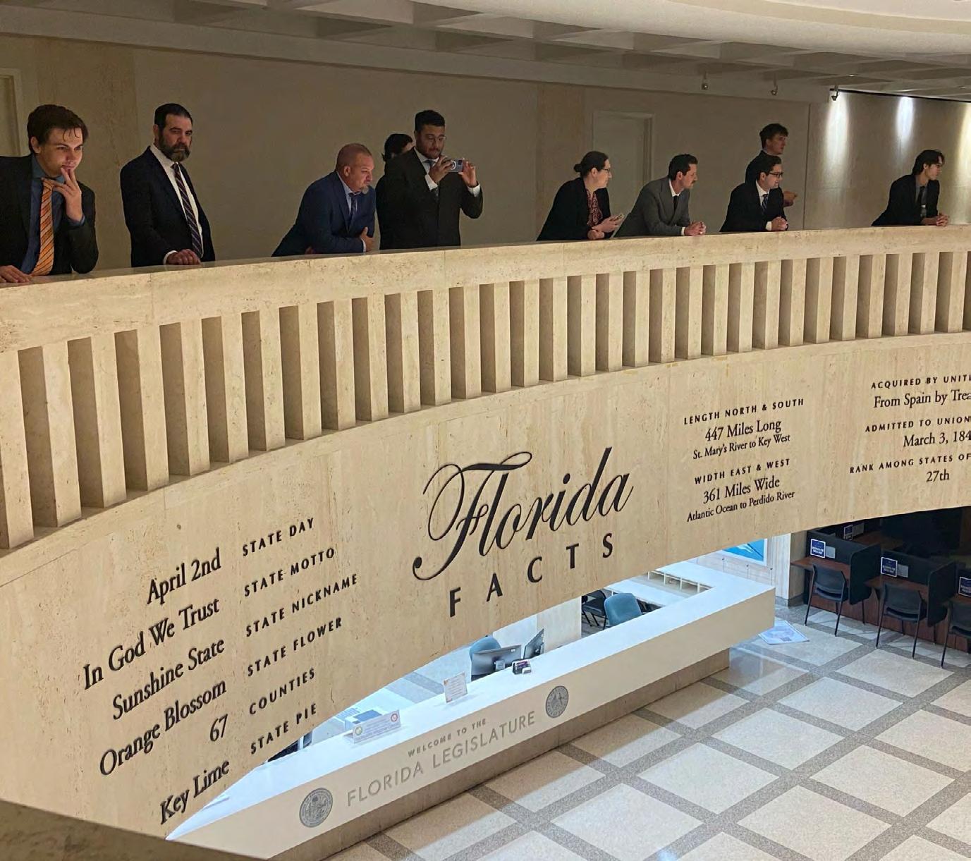
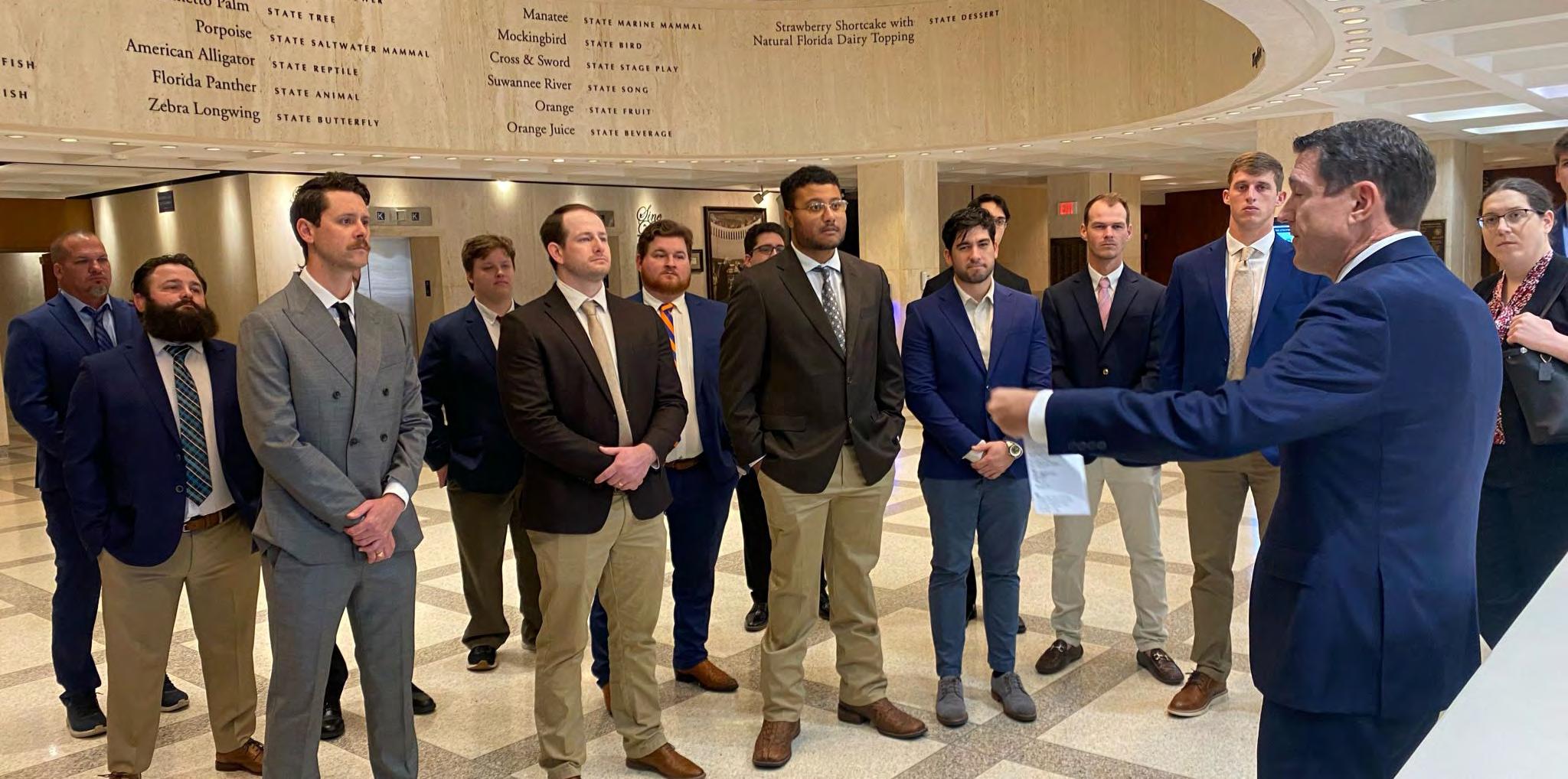
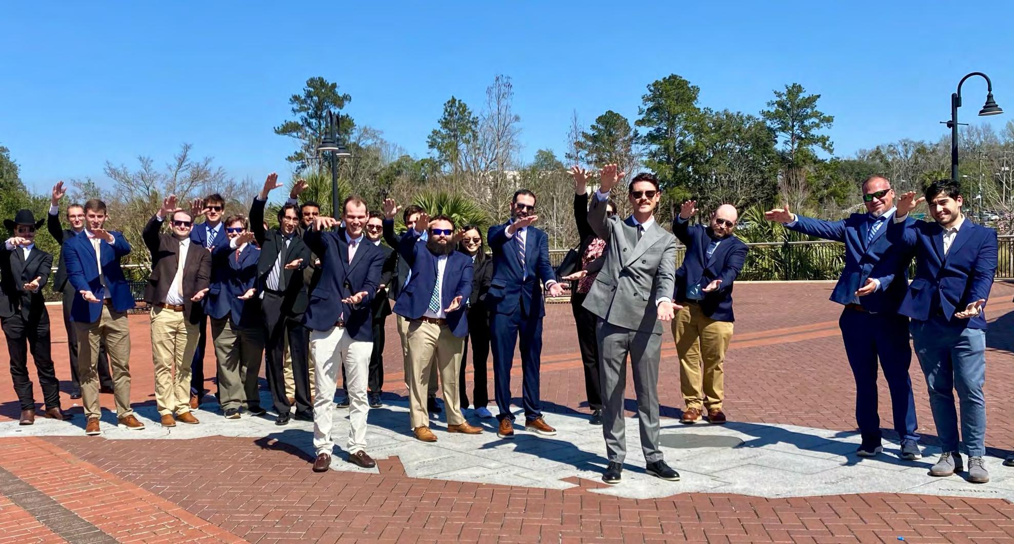
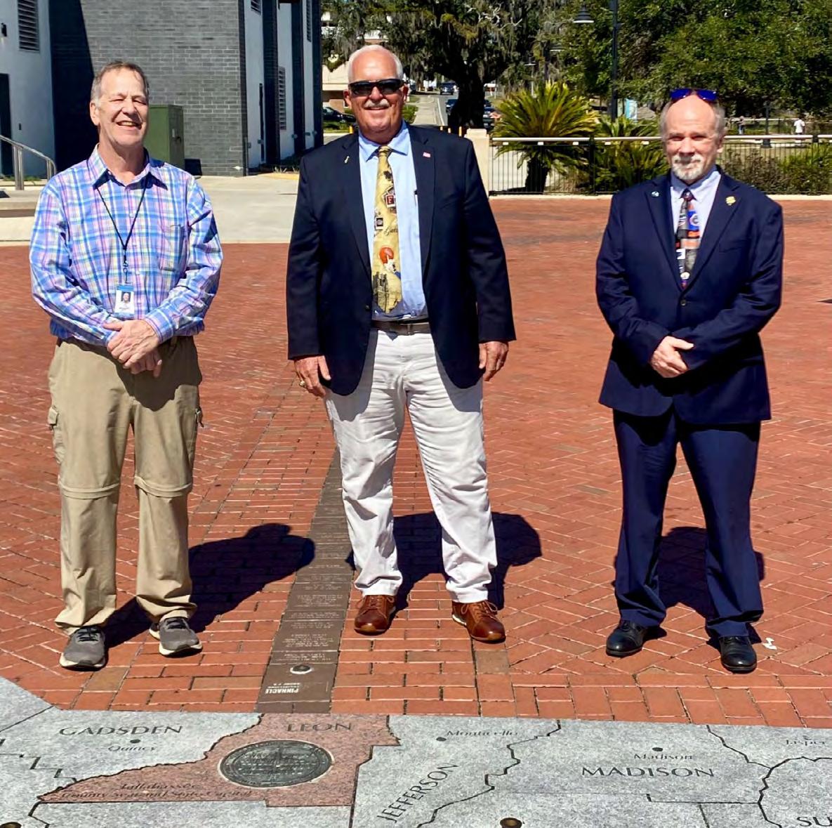
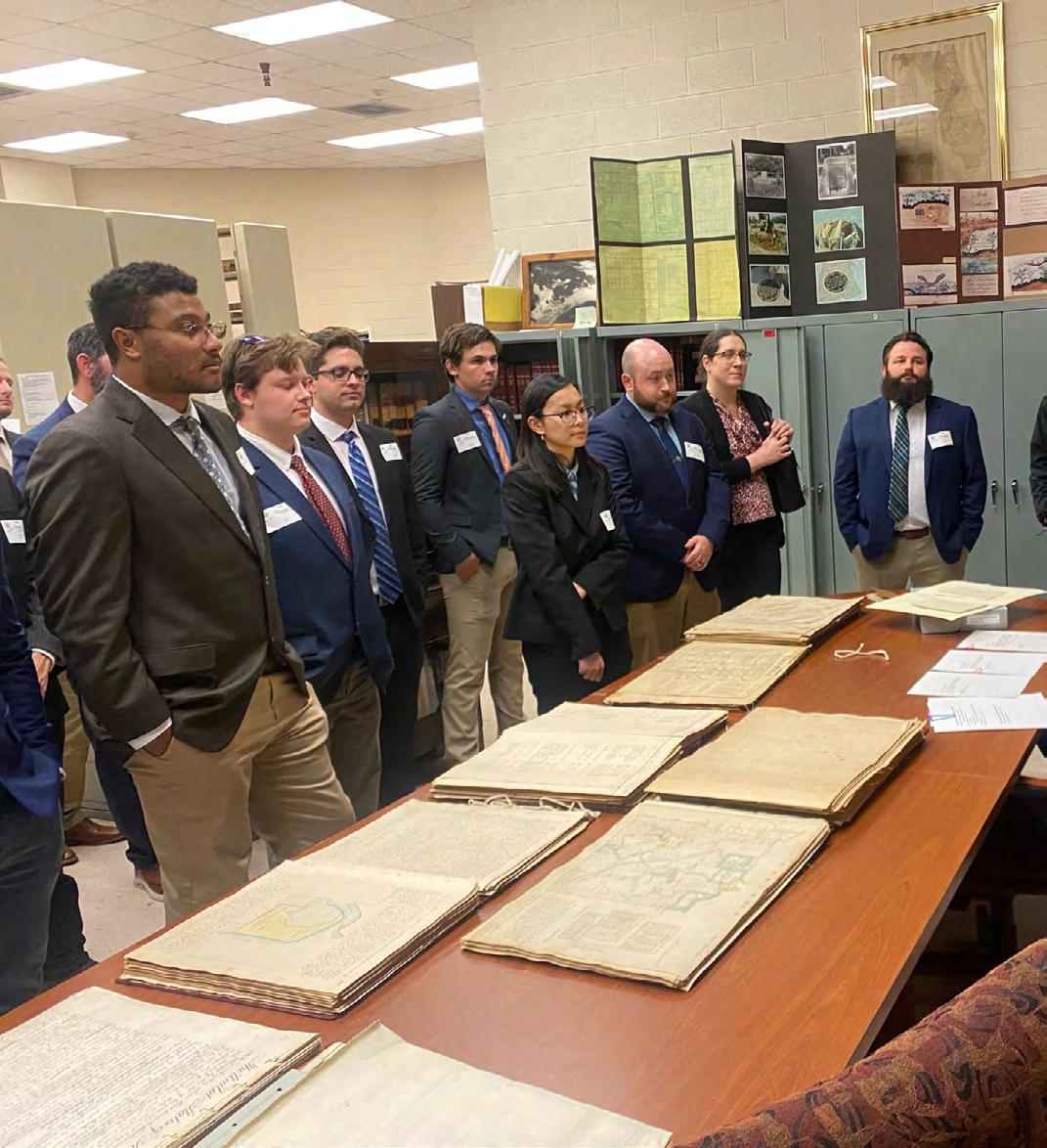
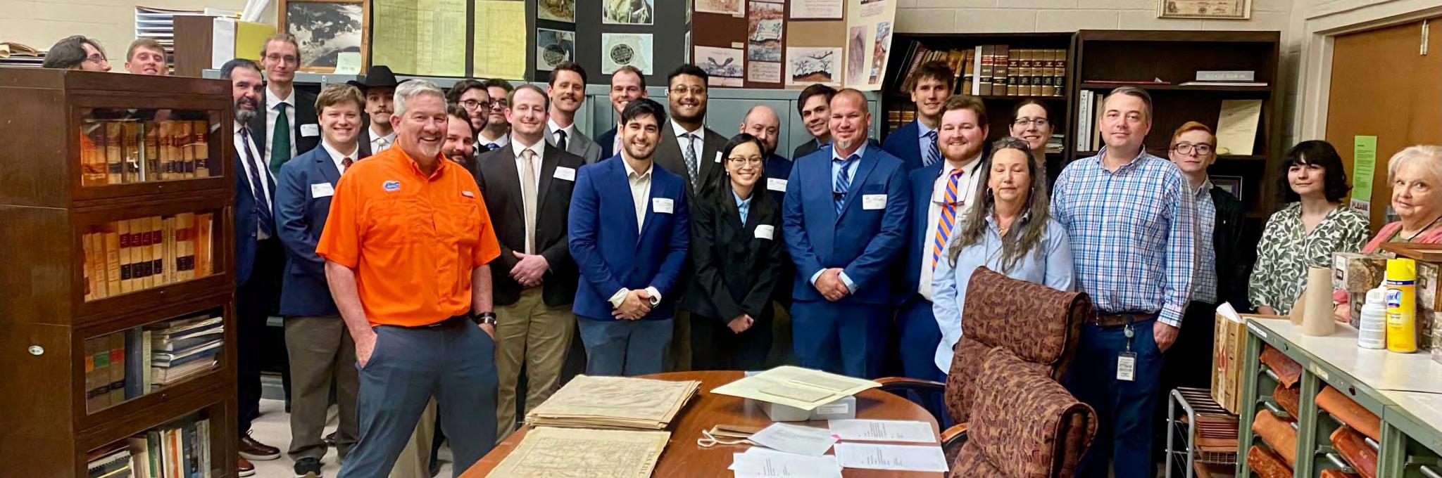
The students of John N. "Jack" Breed’s SUR4430 Surveying and Mapping Practice class recently traveled to Tallahassee for their second Field Lab.
On the trip, students visited the Florida State Capitol, Florida Surveying and Mapping Society headquarters, the original corner monument, Florida Department of Transportation, and the Florida Department of Environmental Protection Title and Land Records Section to tour the State Records Vault.
We’d like to extend a big thank you to everyone who took the time to meet, present, and answer questions from our senior surveying and mapping class!
From Karol Hernandez, SIT
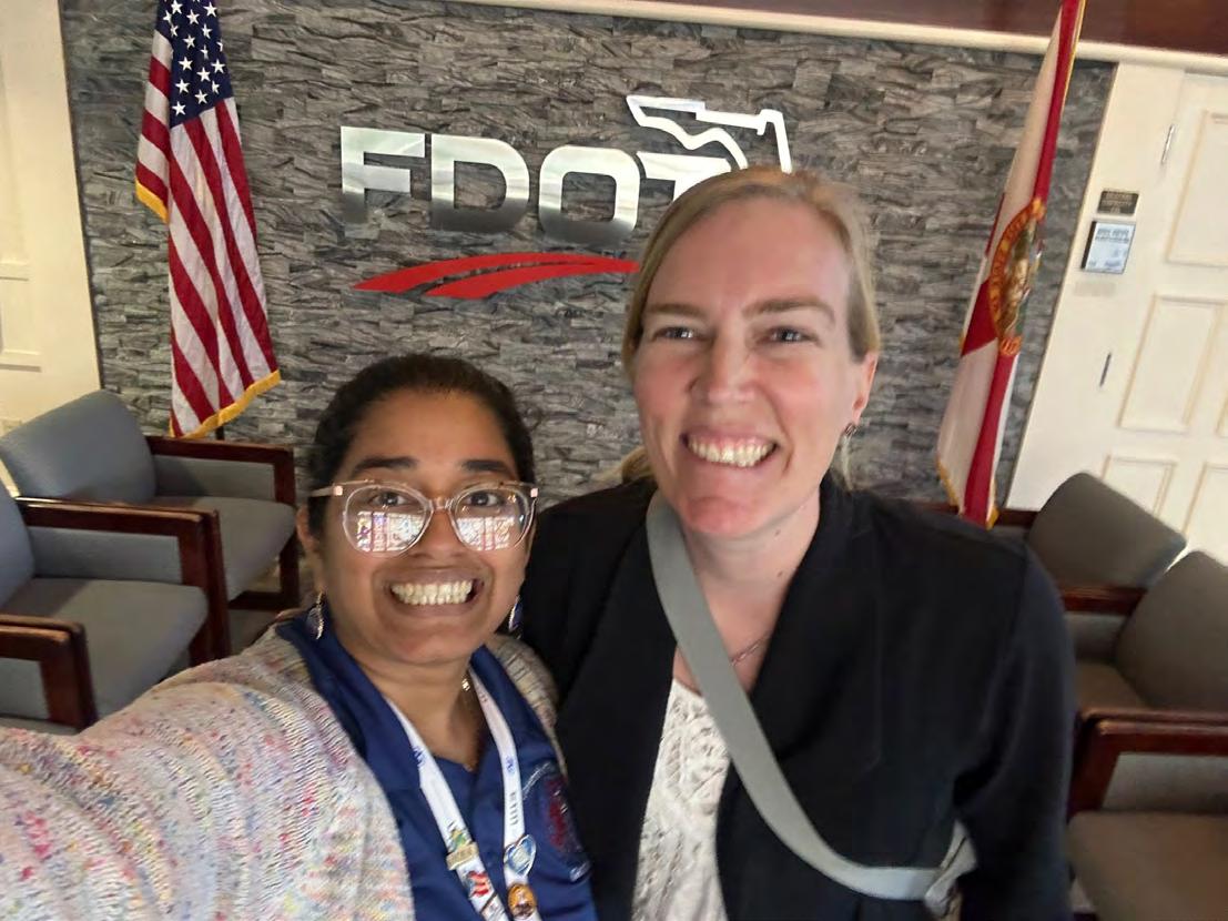
On Thursday, March 6, FDOT D1 received a visit from the University of Florida Spring 2025 Geomatics class. We had a great time talking about what the Department of Transportation does on a daily basis, what roles a licensed surveyor can have inside the agency, and our impact on the communities we oversee.
Update Provided by Past President John N. "Jack" Breed
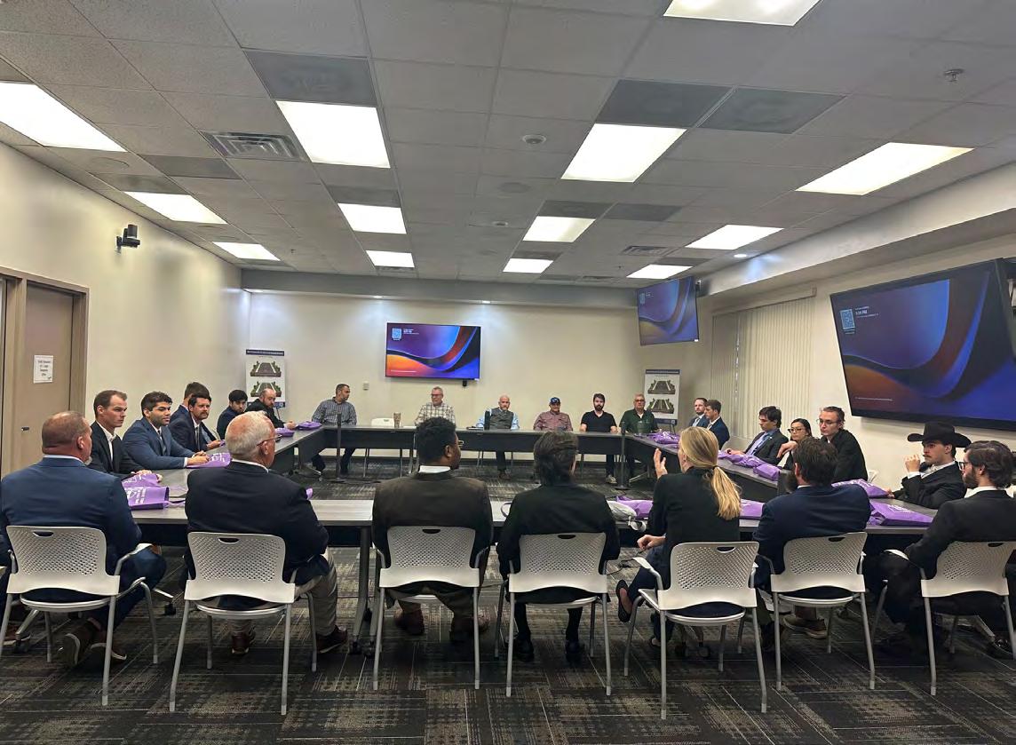
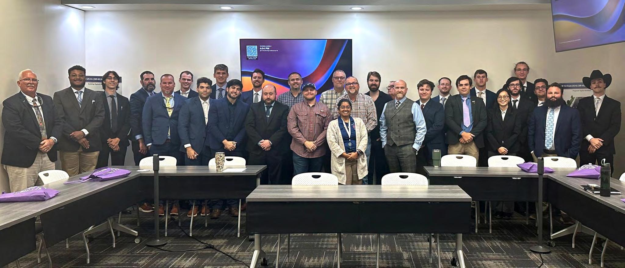
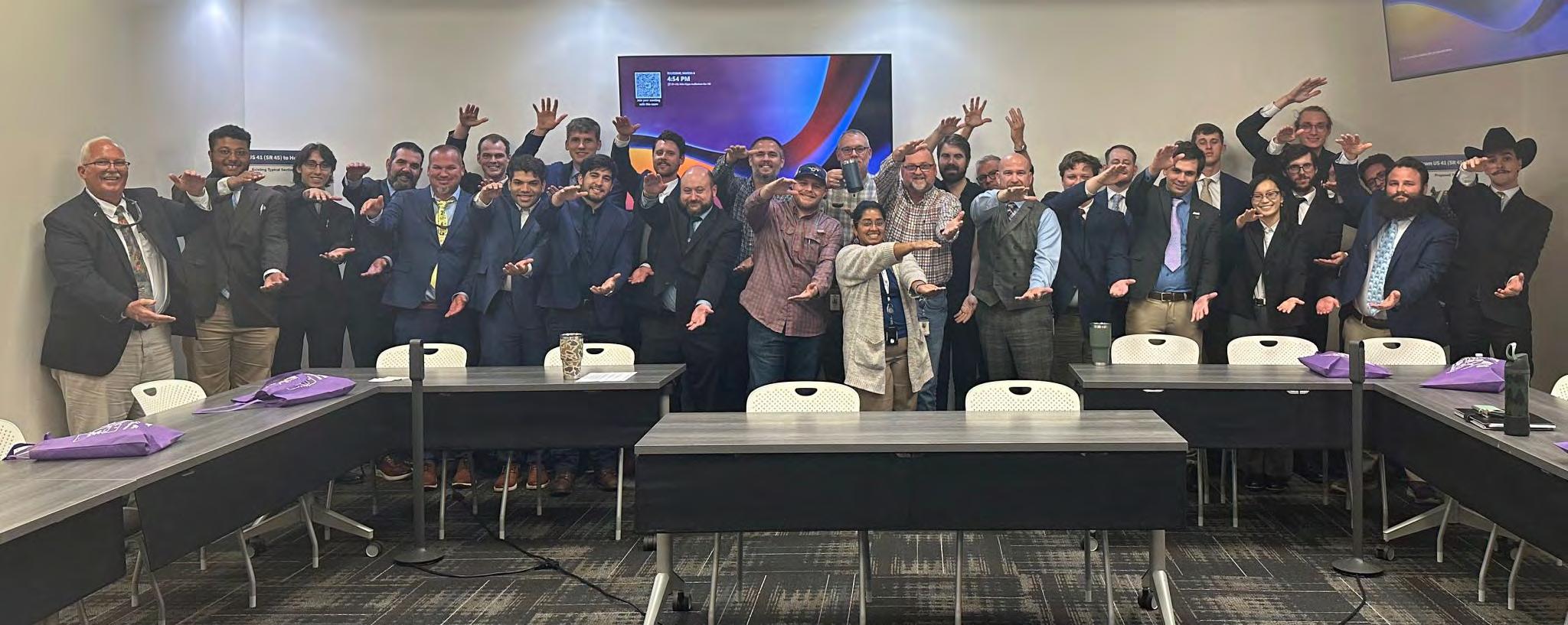
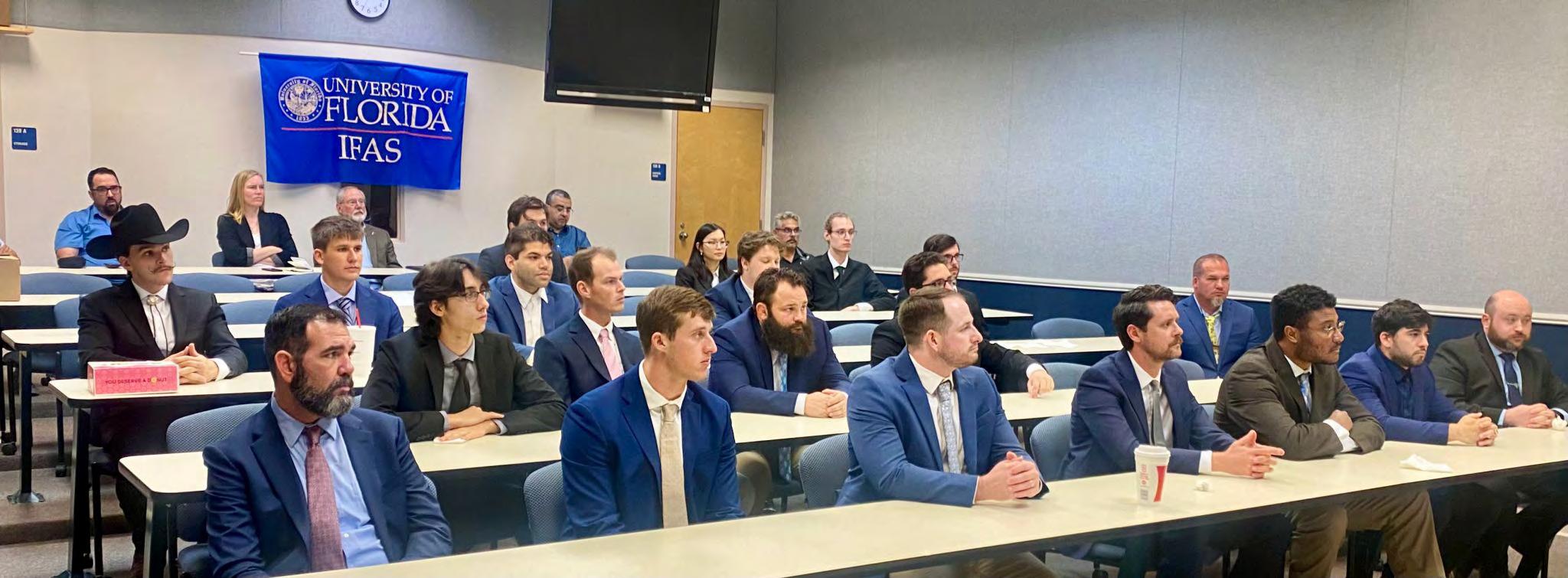
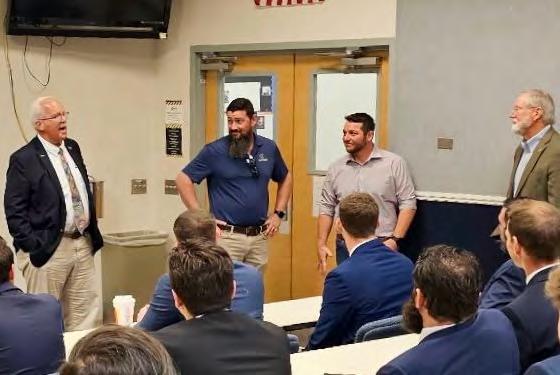
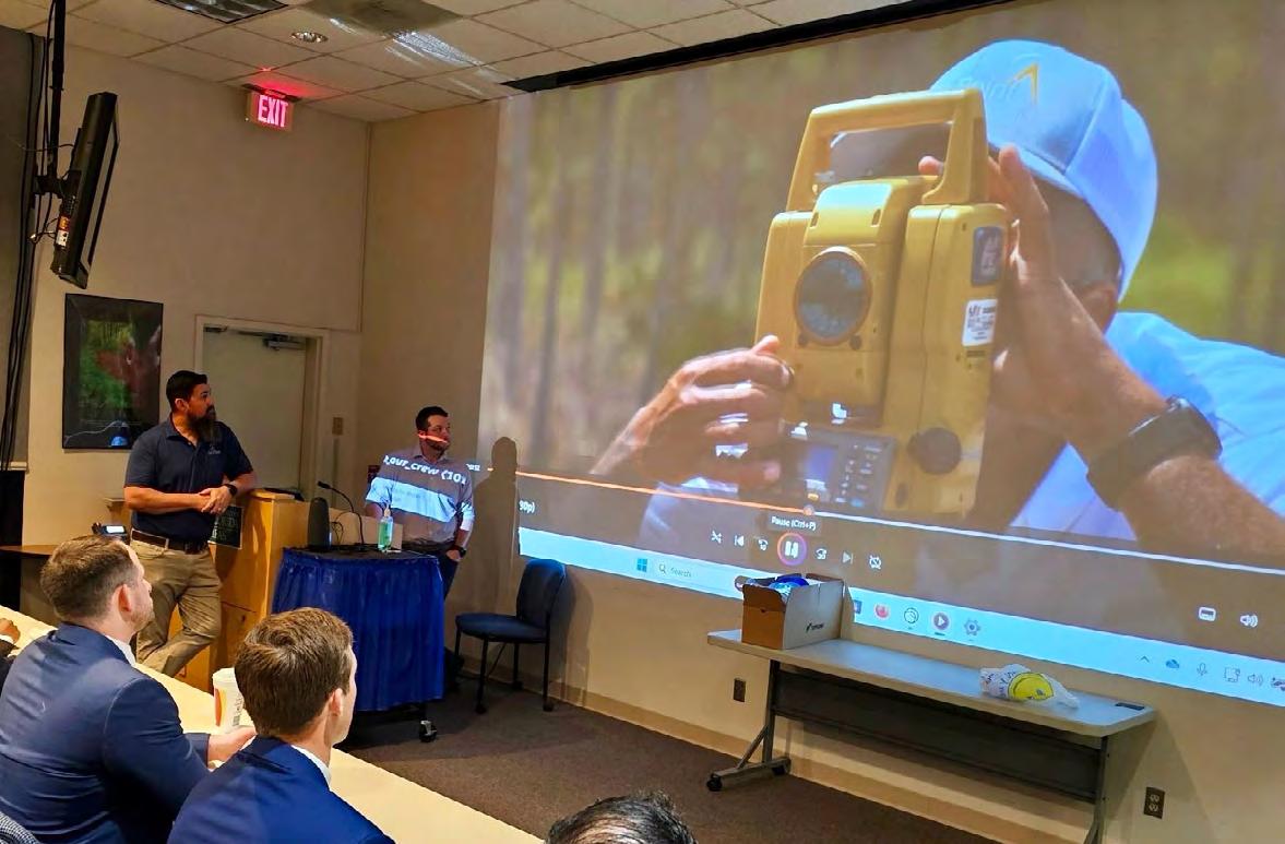
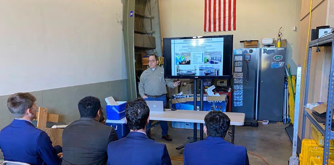
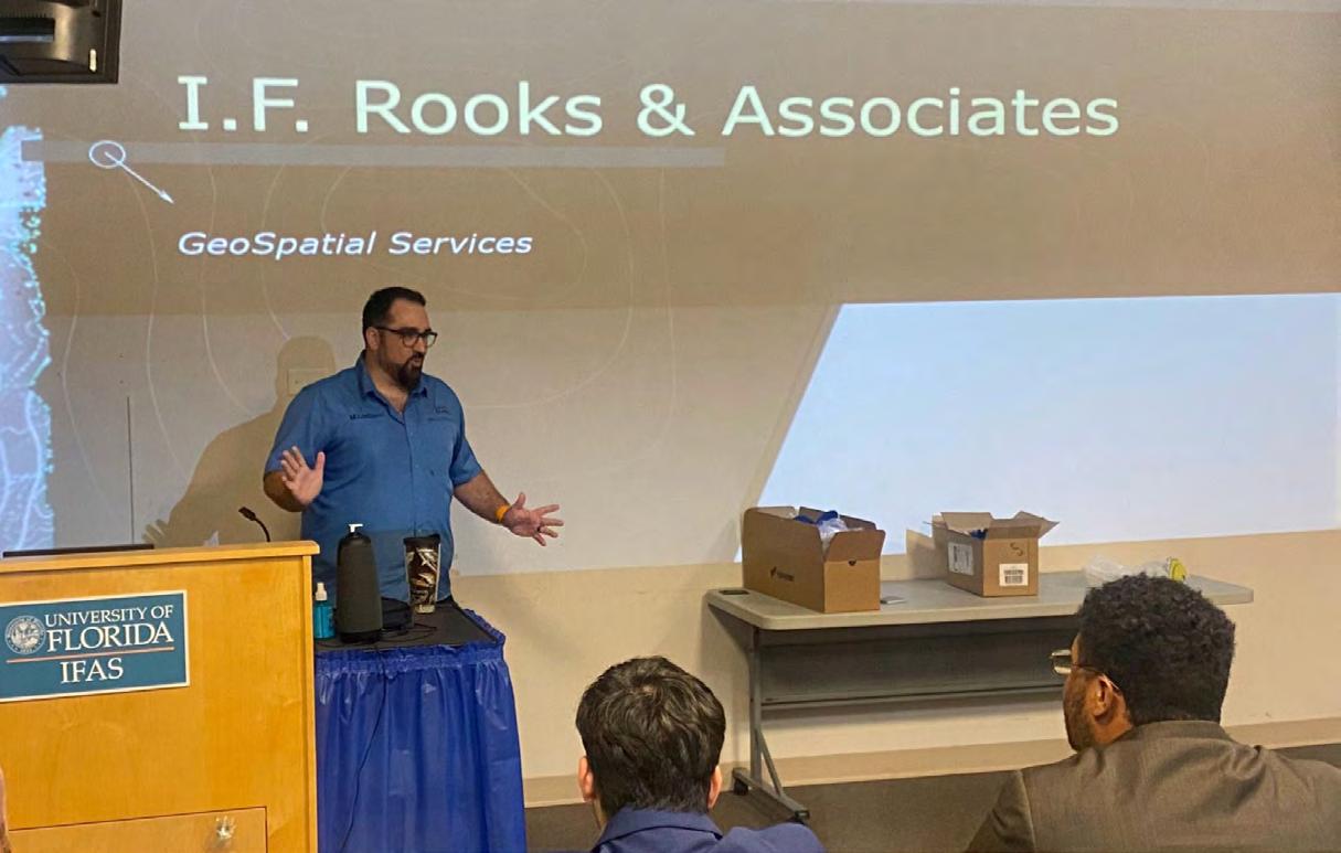
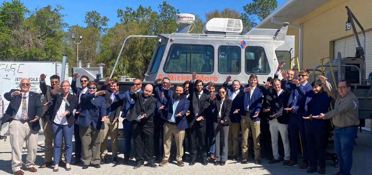
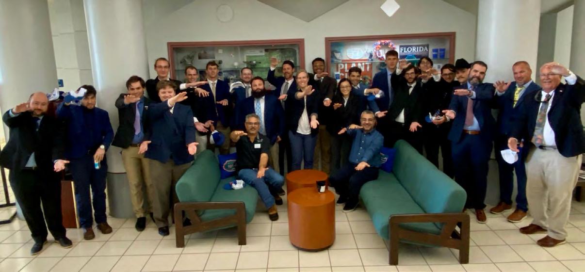
“March 6, 2025 - 19 of our Seniors enjoyed a busy and informative day experiencing inoffice meetings with nine different organizations/firms in and around Lakeland Florida. The Gator Nation was well-represented by this outstanding, inquisitive group of future professionals. The day began at our Plant City REC Facilities, hosted by Dr. Amr AbdElrahman and Ali Gonzalez-Perez P.S.M.
Representatives of GeoPoint (one of the largest Surveying and Mapping firms in Florida and run by Gators!) presented their business model, focused on construction and land development.
I.F. Rooks a third-generation Photogrammetry firm presented their state-of-the art geospatial systems, focusing on mapping to support FDOT infrastructure.
John Clyatt, PSM, a second generation Surveyor, Gator, and founder of 30South LLC moderated a thoughtful discussion on professionalism, community service and relationships. Emphasizing a professional focus of helping others.
World renowned marine construction specialists, Measutronics Corporation (Gator Lou Nash) gave tours of their Hydrographic Vessel, their in-development collision avoidance system, and precise pile positioning systems.
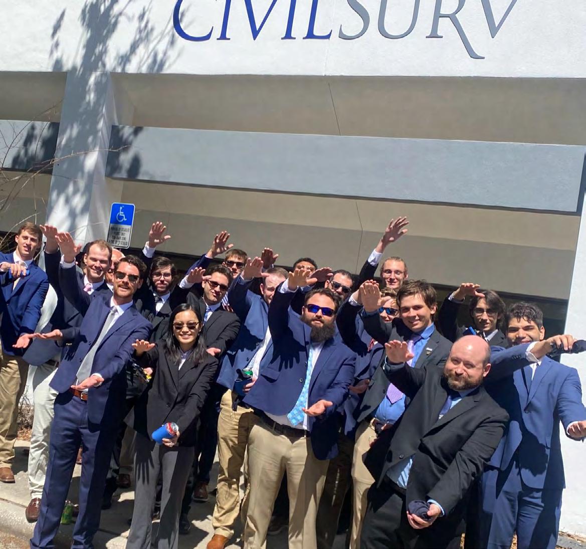
CivilSurv Design Group, Inc., represented by Gators Kenneth Glass and Tim Morris, PSM presented their business model as a mid-size, regional, multi-disciplinary firm, focusing on Surveying, Engineering, Planning, CEI and SUE services for public infrastructure. CivilSurv generously hosted a Mexican Luncheon and a round-table discussion of the day, so far!
The national Surveying and Mapping firm of Pickett and Associates, LLC presented their diverse array of technology and resources in a wide client base, with an emphasis on Electric Transmission Utilities.
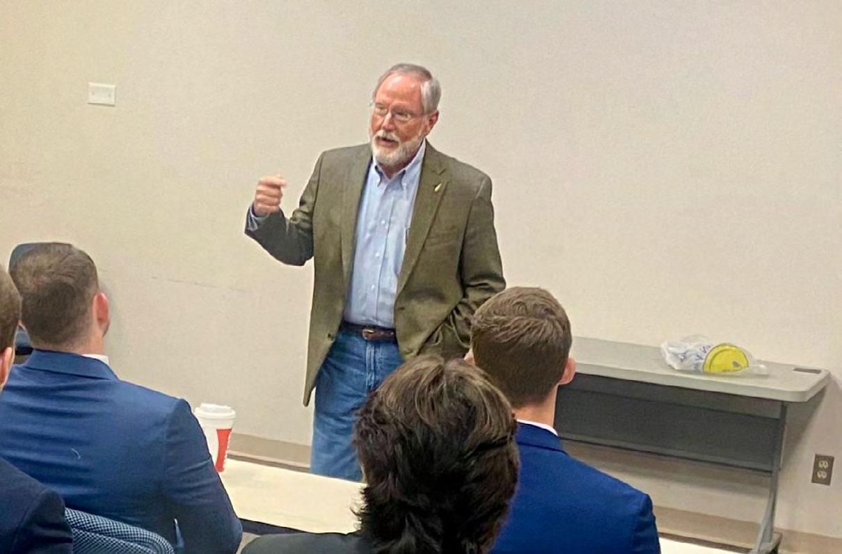
The day ended with a great discussion of opportunities and advantages in a public-sector career. Our speakers included FDOT District One, Polk County Surveyors and the City of Lakeland Surveyor.
The students were impressed with the Industry’s genuine interest in their futures with a remarkable investment of time and enthusiasm. GO GATORS!”
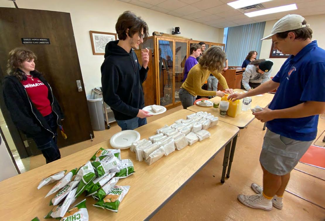
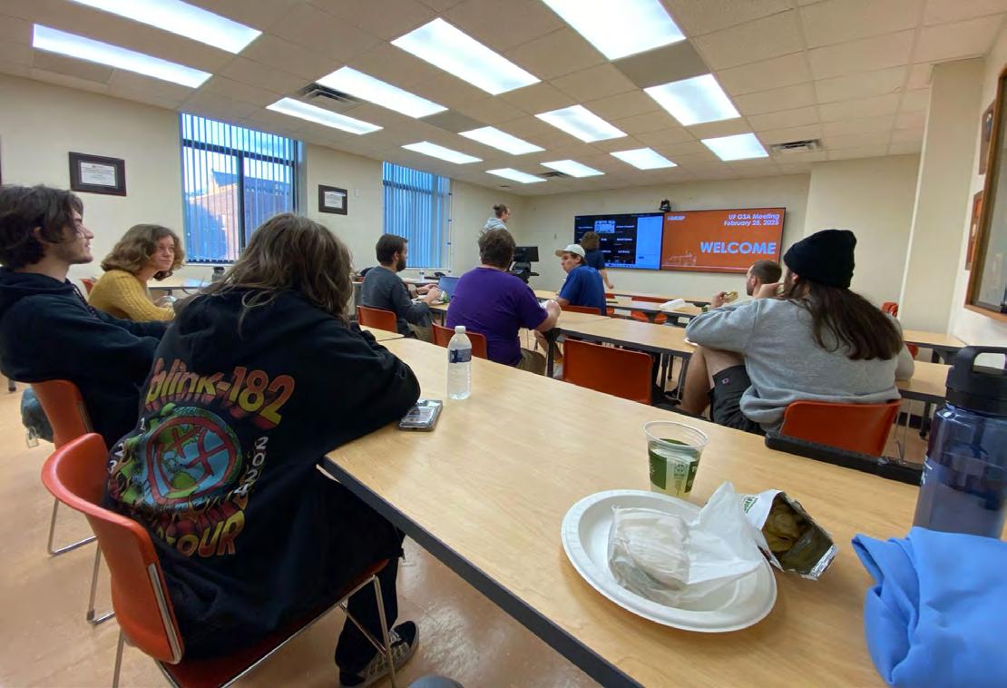
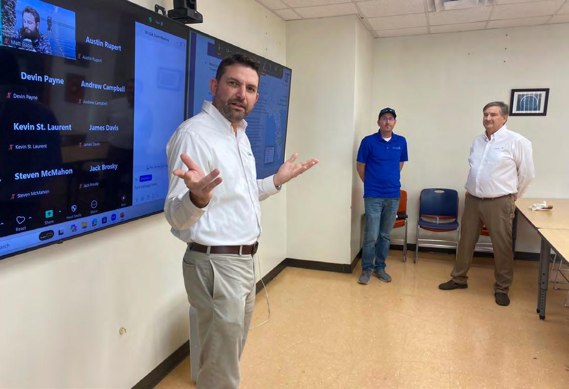
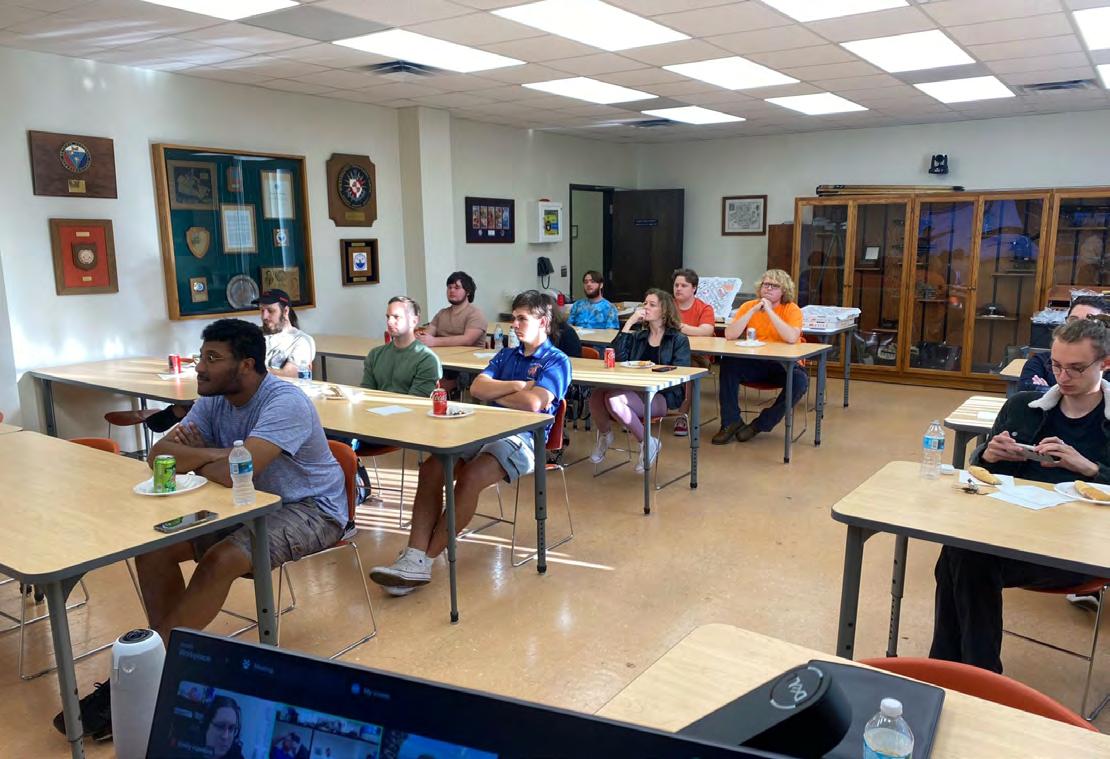
University of Florida Geomatics Student Association
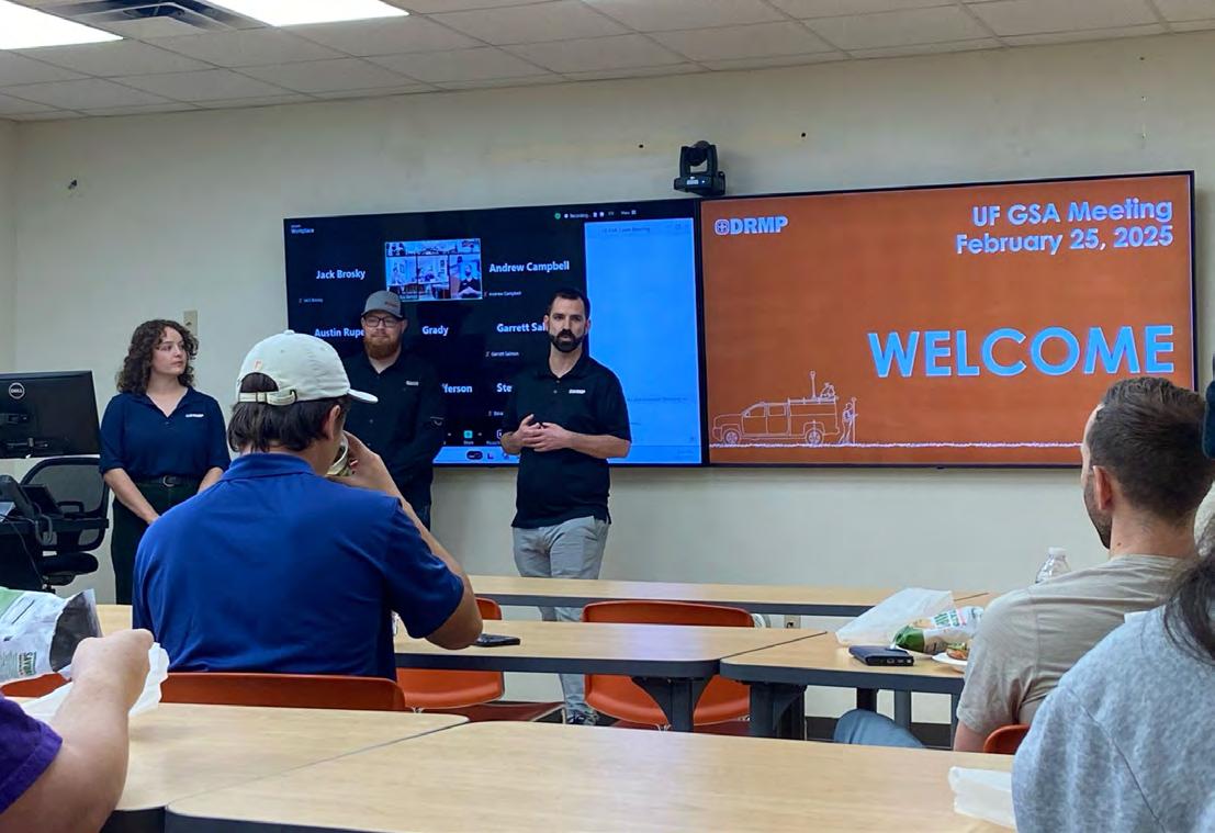
We hosted Christopher Wild, PSM, Brandon Marcantoni, Mary Voor, and Zach Darley of DRMP at one of our recent GSA Meeting! It was great learning not only about the company but about the projects currently being worked on. Thank you all so much for taking the time come out!
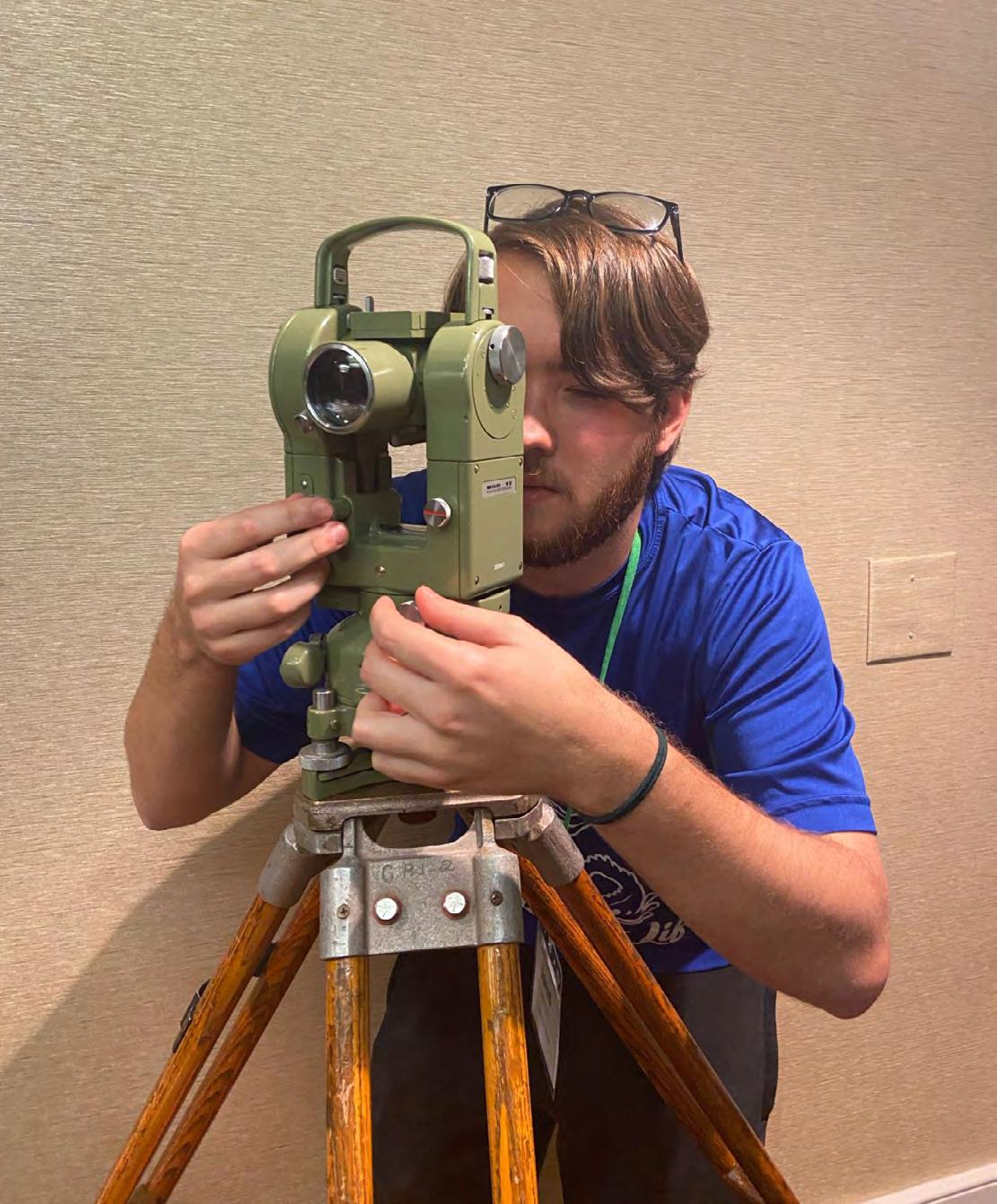
The UF Geomatics NSPS Young Surveyors Network (YSN) Student Competition Team is gearing up! A big thank you to John N. "Jack" Breed for teaching the team how to use a Wild T2 in preparation for the competition.
We’d like to give a huge thank you to Kenneth Glass, Craig Fuller, Tim Morris, PSM, and of course, John N. "Jack" Breed of CivilSurv Design Group, Inc. for an awesome meeting. Go Gator Surveyors!
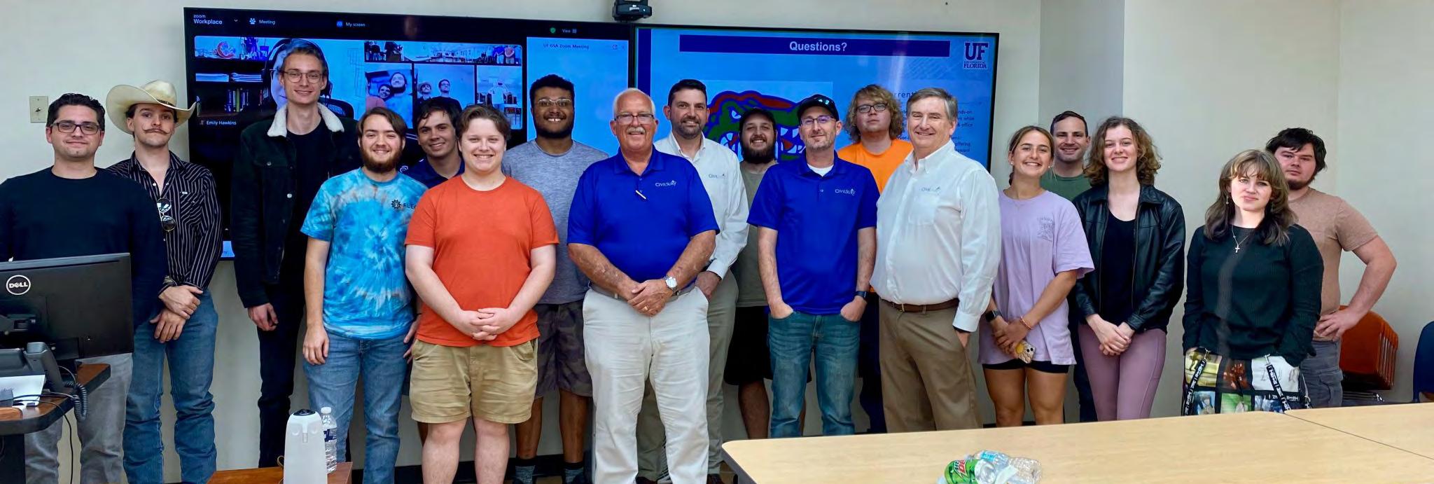
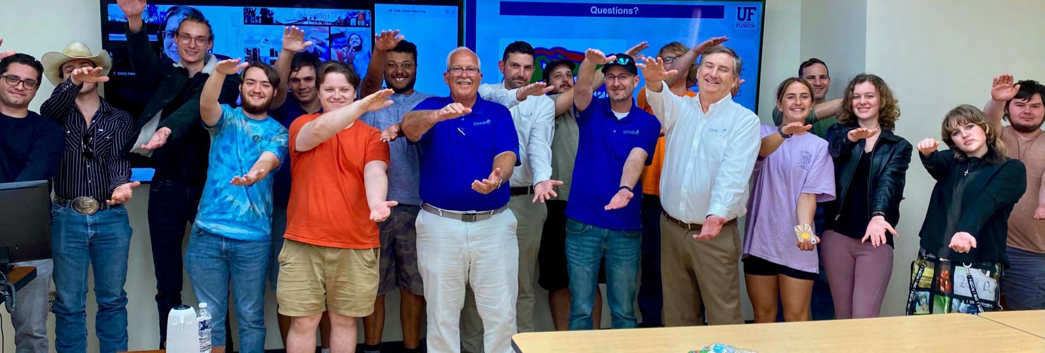
University of Florida Geomatics Student Association
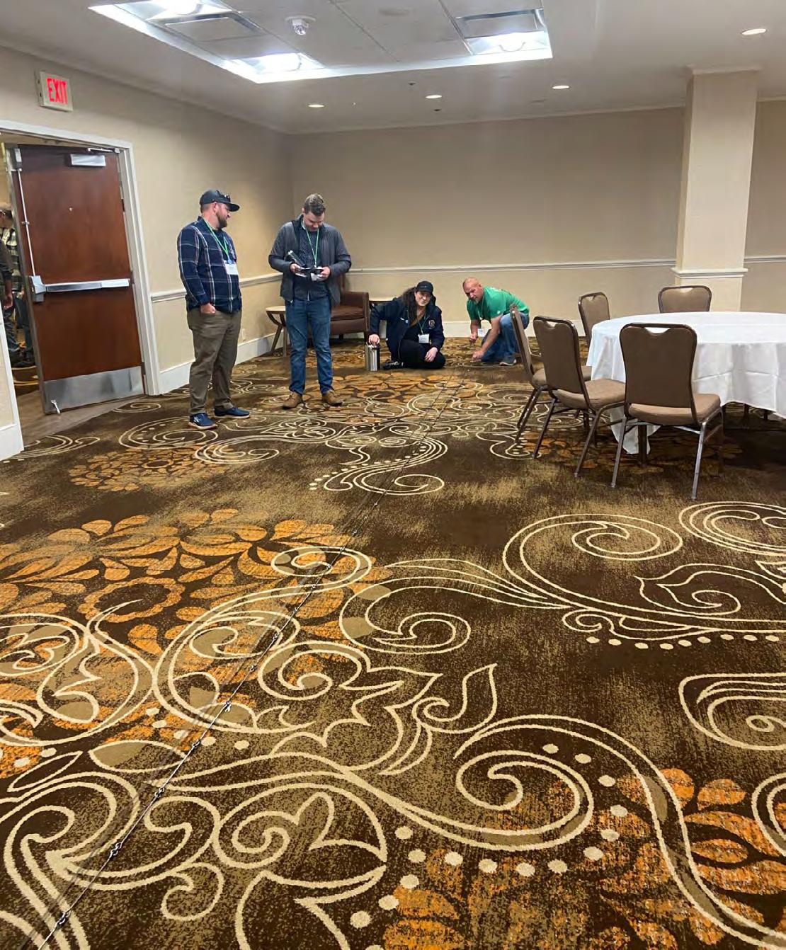
The UF Geomatics NSPS Young Surveyors Network (YSN) Competition team is a go! The students convened for a final practice of the equipment they will be using on the National Mall. Cheer them on as they represent Florida surveying in Washington DC during National Surveyors Week; Go Gator Surveyors!
SUPPORT FSMPAC TODAY!
Your contribution can make a monumental difference in ensuring that our profession thrives and our voices are heard where it matters most.
Join FSMPAC and become a driving force for the future of Surveying & Mapping in Florida.
FSMPAC, the Florida Surveying & Mapping Political Action Committee, is your ticket to shaping the future of our profession. Our mission thrives on the generosity of dedicated Surveyors and Mappers who want to champion and safeguard our profession.
Your contributions go toward researching, identifying,and supporting candidates who champion our concerns.
Le arn More & Donate Here
How to request a proclamation.
An easy way to bring public recognition to the profession is by obtaining proclamations from local, state, and national governments to recognize the contributions of surveyors.
Contact the state and local government offices from which you would like to request a proclamation to determine the process for each. Most state and local governments need at least 3–4 weeks to complete the request. Sample proclamations are available on the National Surveyors Week website, www.nsps.us.com/page/NSW. Make sure you follow up to confirm receipt of your request and to find out how long it will take to complete it, how you will be notified, and if you can schedule a signing ceremony.
If you are able to schedule a signing ceremony,
Arrange to have several surveyors present
Promote the day and time of the ceremony on community calendars and in local news publications
Be sure to take pictures during the event so that you can include a photo with any news releases, and post them on your website and other social media that you use.
Provide information and photos about signing ceremonies to NSPS (info@nsps.us.com)
H ow do I t a l k to kids ab o ut surveying ?
HOW do I start?
Identify potential groups within your local community. Your list should include local elementary and middle schools, after-school care programs, Boy Scout and Girl Scout troops, Boys and Girls Clubs, and other area youth groups.
HOW do I set up a visit?
Contact NSPS (240-439-4615 or info@nsps.us.com) for give-away items. Look at your list and see if you have a personal connection to any of the groups. Do you have a daughter who is a Girl Scout? Is your neighbor an elementary school teacher?
Once you’ve identified a group to work with,
Reach out to them and explain that you are interested in visiting the group and to lead a hands-on activity related to surveying
Answer any questions they may have
Ask if they have a volunteer policy
Schedule and confirm a date and time for the visit
HOW do I explain surveying to kids?
Hands-on activities are the best way to engage the group and illustrate basic surveying principles. You can bring some of your equipment and demonstrate how and why you use it. Additionally, you can use programs like Get Kids Into Survey (GKIS). Since 2017, GKIS has been working internationally to educate young students about the world of surveying. Through the development of online resources, school, and career-day events and through the production of engaging and exciting learning materials, children all over the world have already learned a great deal about geospatial work. GKIS has a variety of resources that you can use when speaking to young students, including coloring sheets, lesson plans, posters, quizzes, and a comic book. In addition to using these free resources online, you can also become a brand ambassador or sponsor of GKIS. Visit getkidsintosurvey.com for more information.
HOW do I get kids excited about the profession?
Use phrases like making a difference and problem solving. Avoid phrases and terms that make it sound difficult to become a surveyor. Ask them about their interests, and see if any of them relate to the profession. Do they like to work with computers? If so, tell them how you use computers and other advanced technology in surveying. Are they interested in history? Tell them about the historical significance of the profession and boundaries. Demonstrate the technology you use every day especially today’s high-tech data gathering/processing equipment.
HOW do I prepare for my visit?
7–10 days before the visit
Decide which of your favorite activities you’d like to share with the group, and gather the necessary materials. If you don’t have a favorite activity or would like some new ideas, visit the National Surveyors Week website via www.nsps.us.com/page/NSW and download a free copy of GPS Adventures. This easy-to-follow guide provides sample GPSrelated hands-on activities that are easily adapted to include basic surveying principles.
Day of visit
Make sure you wear something that you would typically wear to work. If you often work in the field, consider wearing your outdoor attire and gear. Students are usually quick to recognize a surveyor when he or she has on a hard hat and other outdoor gear. And remember, relax, smile, and have fun!
Day after visit
Follow up with the teacher or leaders of the group to thank them for the opportunity and to make sure they know where to find more information. Ask for feedback on the session and activity.
Global Surveyors Day - March 21 annually
Global Surveyors Day (www.globalsurveyorsday.com) was created in 2018 through a collaboration among worldwide surveying organizations to recognize the role of Surveyors.
March 21 was chosen as the date for GSD so that the event will always fall within the dates for National Surveyors Week in the US which is celebrated each year during the week in March following the 3rd Sunday.
Surveying Merit Badge
HOW can I help a Boy Scout earn the Surveying Merit Badge?
Helping a Boy Scout earn the surveying merit badge has never been easier. Start by visiting the Boy Scouts of America website (www.scouting.org ) to download the current badge requirements. Then visit the NSPS website (www.nsps.us.com/page/BSmeritbadge) for step-by-step instructions on how to complete the requirements and tutorials.
After reviewing the requirements, identify local Boy Scout troop leaders in your community. Reach out to them and offer to help their scouts complete the badge requirements. Completing all of the requirements for the badge can take approximately 6–7 hours.
Find out if there is a “Scouts Day” or similar event in your area and contact the hosting organization regarding participation.
Trig-Star
HOW can I get involved in the Trig-Star Competition?
Trig-Star is an annual competition for high school trigonometry students. It connects what students are learning in the classroom with a profession that requires those skills.
Volunteers are needed to assist in administering the exams and presenting information to the students about the surveying profession. Contact your state coordinator and let them know that you are interested in volunteering. Visit www.trig-star.com for more information and for a list of state coordinators.
Winners from the state competitions (typically 35-40) participate in the annual National Trig-Star Competition.
All students who participate in Trig-Star are eligible to apply for the Trig-Star Scholarship upon proof of enrollment in a college surveying curriculum.
Thanks,
Hal FSMS President
On Monday, June 28, 2021, 12:33:45 PM EDT, Lee Y Greene Jr Work Computer <leejr@leegreene.com> wrote:
Hal,
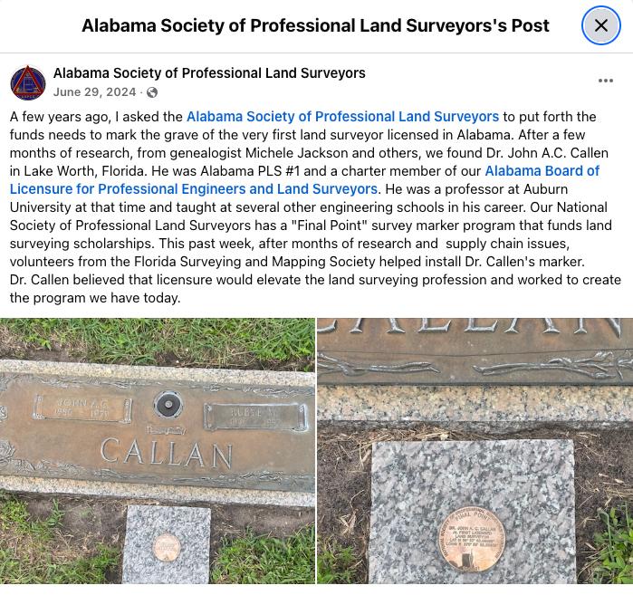
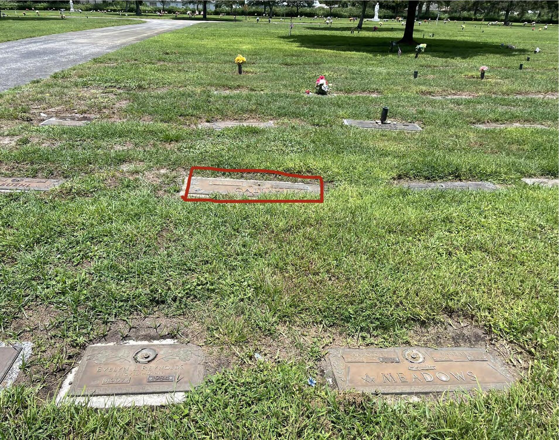
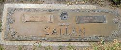
My name is Lee Y. Greene, Jr. and I am the current President of the Alabama Society of Professional Land Surveyors (ASPLS). We have been investigating the very first land surveyor licensed in Alabama. After many years of research, in conjunction with our Board of Licensure, we have identified him as Dr. John A.C. Callen. We are working on obtaining an NSPS "Final Point" marker for his grave, and have received permission from his family to do so.
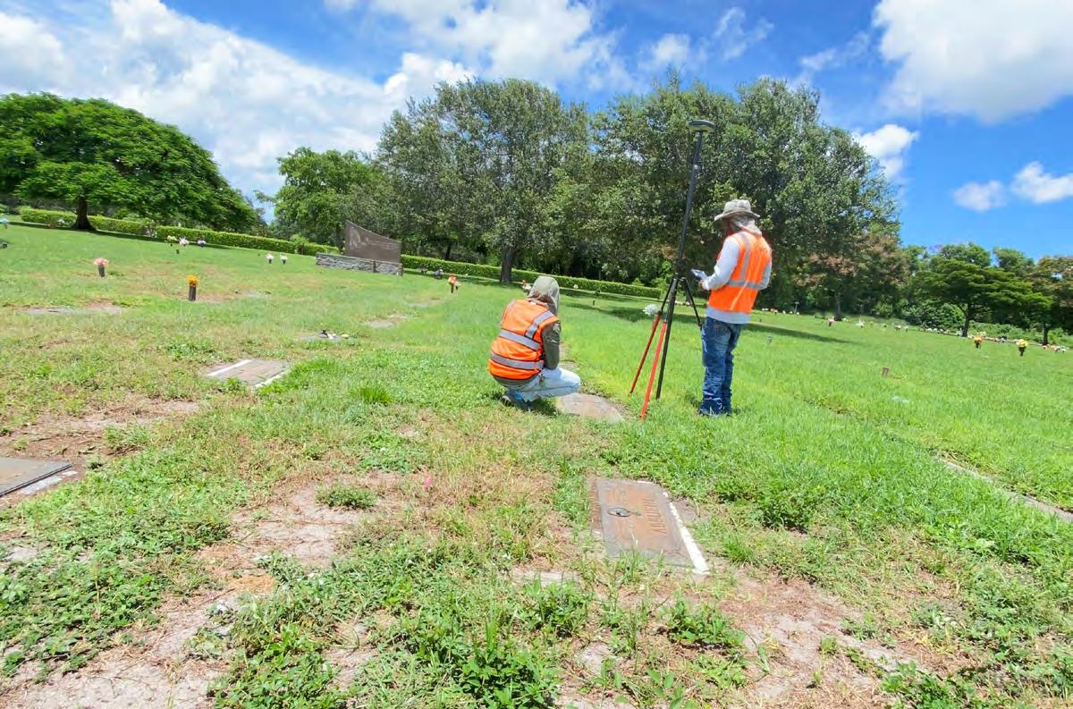
Our problem is that Dr. Callen retired to Florida and is buried there. We wanted to see if you had a local chapter in the Palm Beach, FL area that would be willing to collect a state plane coordinate set for a spot at his grave for us to engrave on the Final Point marker.
Dr. Callen is buried at Lake Worth Memory Gardens Cemetery in Lake Worth, Palm Beach County, FL. His Find-a-grave is here:
Subject: [EXTERNAL] Re: FW: Alabama First LS licensee
Attachments: Robert R. Bell_ASPLS.jpg; Resized_20210224_083645.jpeg
Jim,
My name is Lee Y. Greene, Jr. and I am the current President of the Alabama Society of Professional Land Surveyors (ASPLS). We have been investigating the very first land surveyor licensed in Alabama. After many years of research, in conjunction with our Board of Licensure, we have identified him as Dr. John A.C. Callen. We are working on obtaining an NSPS "Final Point" marker for his grave, and have received permission from his family to do so.
Hal Peters gave me your info about our ASPLS NSPS Final Point marker project in the Palm Beach Cemetery.
Our problem is that Dr. Callen retired to Florida and is buried there. We wanted to see if you had a local chapter in the Palm Beach, FL area that would be willing to collect a state plane coordinate set for a spot at his grave for us to engrave on the Final Point marker.
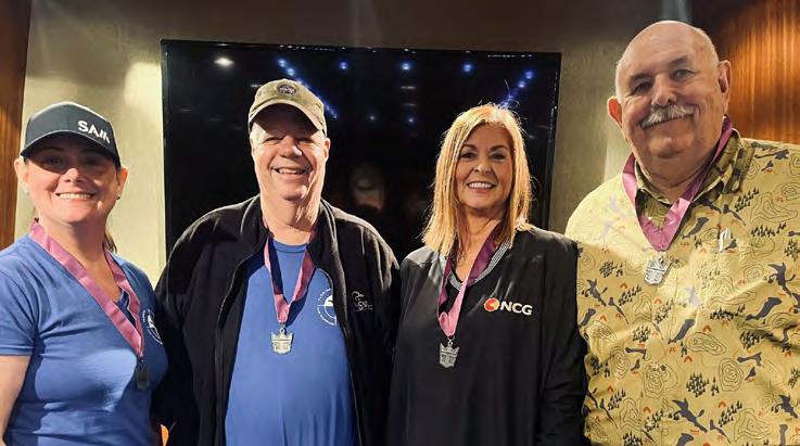
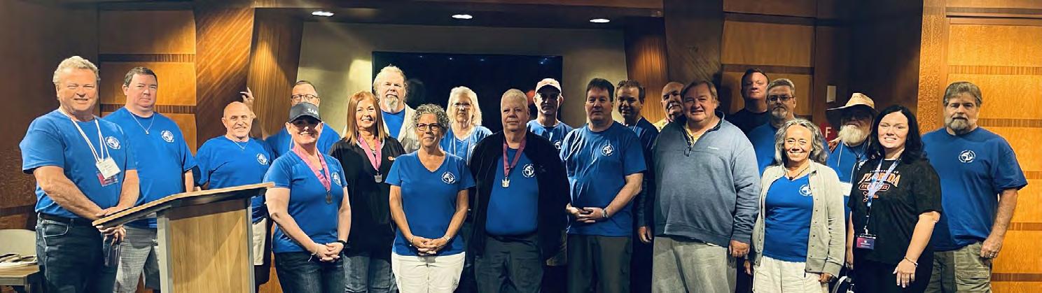
I have attached an image of the most recent NSPS Final Point marker we did for Robert R. Bell, Jr., PLS in Alabama. This should give an idea about what we are talking about having done. The marker is in the lower left of the grave site in the group picture, and the second image is of the first marker cast (with a misspelling, that was corrected and resent).
Dr. Callen is buried at Lake Worth Memory Gardens Cemetery in Lake Worth, Palm Beach County, FL. His Find-a-grave is here: https://www.findagrave.com/memorial/197736831/john-a._c.-callen
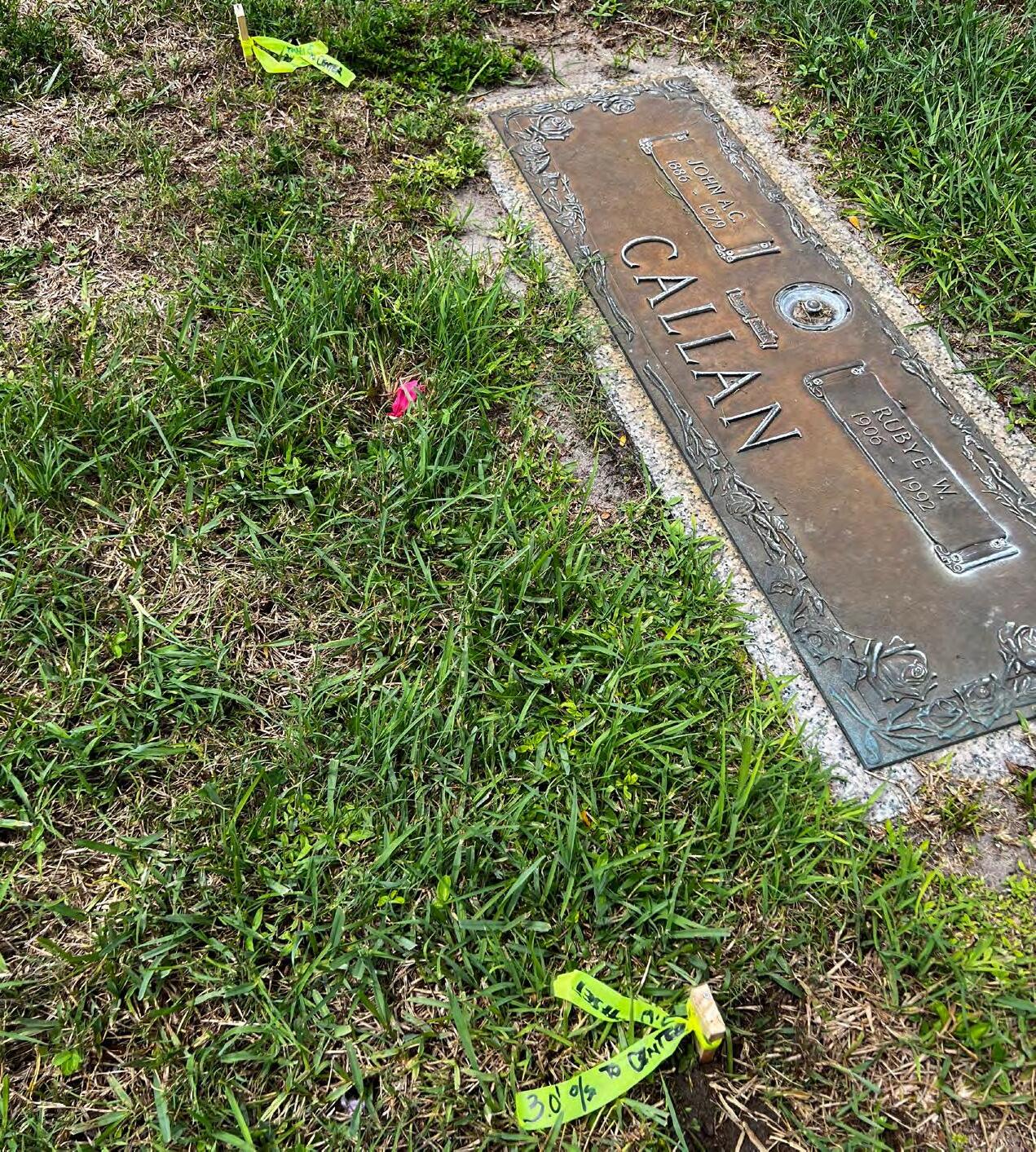
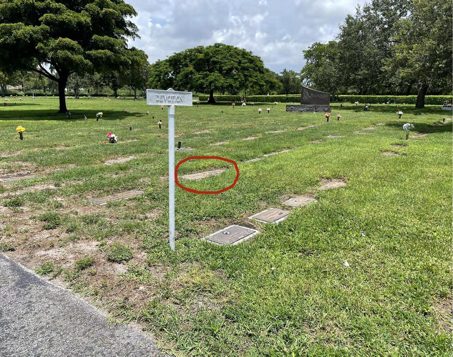
We need to get a hub or nail set near Dr. Callen's grave and a lat/long on it. We will send that info to NSPS and order the disc. Then, we will make arrangements to have the disc installed in a small stone marker, and place on the gravesite. That part can be dug with a post hole digger and some gravel to stabilize it. I will need a reference of a grave marker company that can sell us the small stone and cut the hole for the disc shaft into it.
We would also like to see if the local Chapter would help us install it.
Thanks for your consideration,
Please contact me after your vacation we can discuss further. My cell # is 256-566-3603. I will be at our Summer ASPLS Conference this week, so I should be available after the Fourth.
Sincerely,
Sincerely, -Lee2
-Lee Y. Greene, Jr. PE/PLS President, Alabama
Society of Professional Land
On 6/28/2021 2:04 PM, Hal Peters wrote: Lee,
Jim Sullivan
James Michael Joiner
July 19 th , 1950 – February 19 th , 2025
It is with deep sadness that we share the news that James Michael “Mike” Joiner passed away on February 19, 2025, in Orlando, FL at the age of 74, after a valiant fight with skin cancer. Mike was born in Andalusia, AL on July 19, 1950; but his childhood and early life was spent in Baker, FL in the panhandle. Mike excelled in school, skipped 2 grades and graduated from Baker high school in 1967. He lettered in 4 sports: baseball, football, basketball and track. He was an avid reader his entire life and many of his elementary teachers encouraged him to read whatever book he wanted to from the school library. He read most of them before reaching high school. Further, he hunted, fished and played the piano. His uncle taught him to play golf.
Mike attended Florida State University on an Academic scholarship. He graduated in 1971 with a major in geology and minors in History, Languages and Math. He and Donna were married May 1, 1970 (54 plus years). They moved to Orlando after Mike graduated from FSU. Mike was a land surveyor for 45 years: starting from the lowest level (rodman), became a certified professional land surveyor in 1982, worked for several engineering firms in Orlando, ending his career as the Turnpike Surveyor for the FL Turnpike Authority.
Mike loved sports his whole life. He played everything and was pretty good at most everything. From high school athlete to intramural athlete at FSU to coaching little league and Pop Warner football, family tennis tournaments, basketball and softball. Then age level baseball from his 30's to his 60's and throughout it all, golf. He coached Donnie and Varick in both little league and Pop Warner. One of his favorite times was playing baseball with Donnie in the Manager's/Coach's game at Union Park little league. He participated in Roy Hobbs over 30 and over 40 men's baseball for a little more than 20 years and was on the World Series Championship team in 1999. He learned how to ski in his 30's and loved it. He wanted to be the first up the chair life in the morning and the last one down the hill in the evening. He and Varick were ski partners. We skied many times over the years, and it was always with family. Other family events included hot dog cookouts in the backyard and yearly summer vacations to visit U.S. historical sites, including almost every Civil War battlefield and some Revolutionary battle sites. We also made it a point to see 23 out of 30 professional baseball stadiums, some more than once, and a few minor league stadiums in FL and TX.
Mike loved to read and also became a writer. He wrote stories for his dad, mom, brother and 2 of his grandsons. He also wrote short stories and dabbles in poetry. His stories spanned genres from historical fiction to medieval fantasy. He wrote music as well and wrote a song for Mark and Laurie's wedding. He played the piano at many family celebrations over the years.
Mike lived life to the fullest. He was driven to be the best he could possibly be at everything he did. He was one of the best “practicers” ever. During his baseball years, we often went to high school baseball fields as a family so he could practice hitting. When the schools closed access to the fields, we switched to wiffle balls in the backyard with Donna or Donnie pitching. Every so often, Craig would catch
one of the hit balls and that was a major celebration. He never missed a game because of an injury. He would just wrap the injury and keep on playing. “It just hurts,” he would say. Another saying of his was “Are you hurt or injured?” If it just hurts, you keep going. This belief helped him deal with his 20-year cancer fight.
Mike is survived by his wife, Donna and their 3 sons and 2 surrogate sons: James Donald Joiner (Lisa), Craig Edward Joiner, Varick Clayton Joiner (Ivana), Colten Adam Yahn (Hailey) and Connor Clayton Yahn (Megan). He has 5 grandchildren: Armando Josue Cruz (Lis), James Alexander Joiner, Jordan Bryce Joiner, Lori Hersh Lebo and Gabriel Martin Lebo. Not only was Mike blessed with a large, extended family on both sides, but he was blessed with a good life, and he enjoyed it all.
In lieu of flowers, please consider one of 2 donations: 1) St. Jude, because Mike would want to continue to help fight cancer, and/or 2) Maitland Presbyterian Church Bell Choir refurbishment, because he loved music. Thank you in advance for either donation. His family is grateful for anything you choose to do.
Link to Obituary: https://www.degusipefuneralhome.com/obituaries/james-joiner-9/#!/Obituary
Damon Jerome Kelly
July 19 th , 1950 – February 19 th , 2025
We regret to inform you on the passing of Damon Jerome Kelly, PSM LS6284 on March 5th. Damon was a long time member and past officer of the Florida Crown Chapter.
Damon Jerome Kelly, 59, of Palatka, passed from this life on Wednesday, March 5, 2025 at Haven Hospice Roberts Care Center following an extended illness. Born in Louisville, Kentucky, he resided in Palatka for 26 years coming from Deland. A professional surveyor and mapper, Damon worked 28 years with ETM Surveying and Mapping in Jacksonville. He was a member of Pineland Lodge #86 F&AM where he most recently served as Junior Warden. He was also a member of the Putnam County
and Clay County Shrine Clubs as well as a member of the National Society of Professional Surveyors (NSPS). In his leisure time, Damon enjoyed fishing, camping and going to the beach. Family was his #1 priority and he treated his wife “like a Queen”. He was preceded in death by his parents, Jerry W. Kelly and Rose “Kay” Klepal Kelly.
Damon is survived by his wife of 31 years, Tina Kelly of Palatka, a daughter, Taylor Kelly of Palatka, a brother, Eric Kelly of Washington, WV, his mother-in-law, Anita Reed of Palatka, a brother-in-law, George Reed (Julie) of Fleming Island, a sister-in-law, Amber Harrell (Shane) of Palatka as well as numerous nieces and nephews.
Memories and condolences may be expressed to the family at Damon’s Book of Memories at www.j-ofunerals.com.
Biscayne Engineering Company, Inc. 305-324-7671
Boatwright Land Surveyors, Inc. 904-241-8550
Bock & Clark Corporation(NV5) 330-665-4821
Bowman Consulting Group 703-454-1000
Braden Land Surveying 727-224-8758
Bradshaw-Niles & Associates, Inc. 904-829-2591
Brown & Phillips, Inc. 561-615-3988 BSE Consultants, Inc. 321-725-3674
Stephen H. Gibbs Land Surveyors, Inc. 954-923-7666
Stoner Inc. 954-585-0997
Suarez Surveying & Mapping, Inc. 305-596-1799 Survey Data Solutions, LLC 352-816-4084
Survey Pros, Inc. 305-767-6802
SurvTech Solutions, Inc. 813-621-4929 T T2 UES Inc. 407-587-0603
Tectonic Engineering and Surveying Consultants 845-534-5959
F irm S Directory
Thurman Roddenberry & Associates
850-962-2538
TopoDOT
407-248-0160
TranSystems
727-822-4151
352-846-0850
Upham, Inc.
386-672-9515
352-753-6511
WBQ
561-687-2220
LinkedIn = 1,847 Followers
Facebook = 1.1K Followers
X = 384 Followers
Instagram = 412 Followers
YouTube = 51 Subscribers • 16 Videos
WIN A PACKET ONE REGISTRATION FOR ANNUAL CONFERENCE!
FSMS is Awarding a Recruitment Bonus for Current Members Bringing in New Memberships
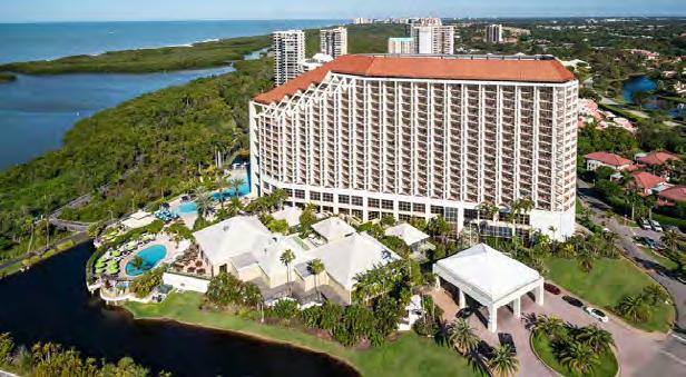
The Bonus will be a Conference Packet One Registration (includes One Wed. BBQ Ticket, One Fri. Exhibitor's Luncheon Ticket, One Fri. Recognition Banquet Ticket, and Six Sat. Seminar CECs) along with a 2 Night Stay at Naples Grande Beach Resort.
• The Recruitment Bonus will be Awarded based on a Point System.
• 6 Points for each New Full Member, Gov. Surveyor, & Sustaining Firm.
• 1 Point for each New Associate, Affiliate, & Student Member.
• Whenever a New Member fills out their membership form they must provide referred current member's name when asked, “Were you referred by a Current Member of FSMS?”
Points will be awarded during Open Enrollment between now and March 31, 2025. The Member with the most points will be deemed the Winner and be announced in April's edition of The Florida Surveyor!
2025 MEMBERSHIP IS OPEN!
Membership for 2025 is open and available for those needing to renew or for those wanting to join The Florida Surveying and Mapping Society. You can Renew your current membership by Clicking Here and logging-in to your FSMS account.
For those New Members wishing to join or rejoin if they were not a member in 2024, Click Here to read about our Membership types and click on the “Join FSMS Today ” button at the top of the page to begin your membership with The Florida Surveying and Mapping Society.
70th Annual FSMS Conference
EXHIBITOR & SPONSORSHIP OPPORTUNITIES
July 30th - August 2nd, 2025 O Naples Grande Beach Resort
SOLD Exhibitor Opportunities
(*Only 1 Platinum Exhibitor Available)
PLATINUM EXHIBITOR *
$5,000
• Company Name and Logo on a Banner at the Registration Desk
• Company Bio and Logo in the Conference Program Book
• 1 month free full-page ad in The Florida Surveyor W: 8.5 in. x H: 11 in.
(Sustaining Firms will receive an additional free month )
• Recognition in the Conference Edition of The Florida Surveyor
• Homepage Banner Ad on FSMS.org for 2 months
• Logo with hyperlink to we bsite displayed on FSMS.org
• Complimentary full page ad in Con ference Program Book
• Vendor Spotlight: 30 Minute Priva te Room Speaking Opportunity (Limited Spaces Available, N o CECs)
Exhibitor Opportunities
SILVER EXHIBITOR
$2,300
• Company Bio and Logo in the Conference Program Book
• 1 month free half-page ad in The Florida Surveyor W: 8.5 in. x H: 5.5 in.
(Sustaining Firms will receive an additional free month )
• Recognition in the Conference Edition of The Florida Surveyor
• Logo with hyperlink to website displayed on FSMS.org
• Third priority when choosing booth(s)
• 2 Day Complimentary Self Parking
• Welcome-Bag Flyer Insert (Vend er Provided)
• 2 Welcome BBQ tickets
CONFERENCE EXHIBITOR
$1,800
• Company Bio and Logo in the Conference Program Book
• 1 month free half-page ad in The Florida Surveyor W: 8.5 in. x H: 5.5 in.
(Sustaining Firms will receive an additional free month )
• Recognition in the Conference Edition of The Florida Surveyor
• Last priority when choosing booth(s)
• Logo with hyperlink to website displayed on FSMS.org
ALL EXHIBITORS WILL R E CEIVE:
8’ x 10’ draped booth with 10’ backdrop and 36” side rails
7” x 44” booth identification sign
6’ draped table, 2 chairs and waste basket
4 name tags for booth personnel per booth
2 Exhibitor breakfast tickets per booth
2 Exhibitor lunch tickets per booth
Attendee List (By Request)
(Additional Booths can be Purchased for $950 per Booth)
Sponsorship Opportunities
ALL SPONSORSHIPS INCLUDE:
• Rec ognition in the Conference Edition of The Florida Surveyor
• Company Logo with Hyperlink to Webpage displayed on FSMS.org
* $3,500 *O nly 1 Sponsorship Available!
Conference App Sponsor (Company Name & Logo in Conference App for all Registrants to Download & Utilize throughout Conference.)
*$3,000 *O nly 1 Sponsorship Available!
Room Keys (Company Name & Logo on Room Key Cards given to Attendees staying at the resort.)
$2,700
Recognition Banquet (Company Name & Logo on Signage at Friday Night Awards Banquet along with a Full-Page Ad in The Florida Surveyor.)
*$2,700 *O nly 1 Sponsorship Available!
Conference Tote Bags (Company Name & Logo on Conference Tote Bags given to Attendees.)
*$2,500 *O nly 1 Sponsorship Available!
Lanyards (Company Name & Logo on Conference Lanyards given to All Attendees & their Guests.)
*$2,500 *O nly 1 Sponsorship Available!
Name Badges (Company Name & Logo on Name Badges given to All Attendees & their Guests.)
* $2,500 *O nly 3 Sponsorships Available!
Welcome BBQ (Company Name & Logo on Signage at Welcome BBQ along with 4 Complimentary Dinner Tickets.)
* $2,300 *O nly 1 Sponsorships Available!
Swag Sponsor (Company Name & Logo on Exclusive Conference Swag received during Check-In.)
$2,000
Morning Coffee Sponsor (Company Name & Logo on Signage at the Coffee Station each morning of Conference.)
$1,700
Casino Night (Company Name & Logo on Signage during Casino Night along with Recognition in the Conference Program Book.)
* $1,700 *O nly 1 Sponsorship Available!
Front Cover of Conference Program Book (Company Name & Logo on the Front Cover of Conference Program Book given to Attendees.) SOLD out SOLD out SOLD out SOLD out SOLD out
$1,700
Sponsorship Opportunities
Refreshment Breaks (Company Name & Logo on Signage at All Seminar Refreshment Breaks along with a Full-Page Ad in The Florida Surveyor.)
$1,700
Registration Desk & Signs (Company Name & Logo on Conference Welcome Banner located at the Registration Desk. Assists with Conference Sign expenses.)
* $1,500 *O nly 1 Sponsorship Available!
Back Cover of Conference Program Book (Company Name, Logo or Ad placed on Back Cover of Conf. Program Book given to Attendees.)
$1,500
Banquet Door Prizes (Sponsorship of Prizes given at Recognition Banquet along with Company Name & Logo on Signage During Banquet.)
$1,500
Exhibit Hall Breakfast (Company Name & Logo on Signage during Friday morning Exhibitors Breakfast. Assists with Breakfast Expenses.)
$1,500
Legislative Reception (Company Name & Logo on Signage at Reception. Sponsorship assists with Speaker and Reception expenses.)
$1,200
Exhibit Hall Door Prizes (Company Name & Logo on Signage during Friday's Exhibit Hall Event, in addition to being Recognized during Raffle as a Sponsor.)
$1,200
Exhibit Hall Luncheon (Company Name & Logo on Signage during Friday's Exhibitors Luncheon. Assists with Lunch Expenses.)
$1,200
SIT Test Prep (Company Name & Logo on Signage outside of classroom.)
$1,000
Cornhole Tournament (Company Name & Logo on Signage during Wed. Cornhole Tournament.)
$1,000
Exhibitor Welcome Bags (Company Name & Logo on Conference Exhibitor Welcome Bags).
$1,000
Fishing Tourney/Trip (Company Name & Logo on Signage. Assists with Food, Drinks, & expenses.)
$1,000
Sponsorship Opportunities
Golf Tournament (Company Name and Logo on Signage. Assists with Food, Beverage, and Prize costs.)
* $1,000 *O nly 1 Sponsorship Available!
Inside Front Cover of Conference Program Book (Company Name, Logo or Ad placed Inside the Front Cover of the Conference Program Book.)
$800
Exhibit Hall Luncheon Cash Bar (Company Name & Logo on Signage at 1 Cash Bar serving Beer & Soda during the Friday Exhibit Hall Luncheon. Includes 4 Complimentary Drink Tickets.)
* $800 *O nly 1 Sponsorship Available!
Inside Back Cover of Conference Program Book (Company Name, Logo or Ad placed Inside the Back Cover of the Conference Program Book.)
$750
CST Exams (Company Name & Logo on Signage before & during Exam.)
$700
General Business Session (Company Name & Logo on Signage at & during Conference GBS.)
$500
Exhibitor Beverage Break (Company Name & Logo on Signage at Exhibitor Afternoon Beverage Break in the Exhibit Hall.)
$500
Registration Packets (Company Name & Logo on Registration Packets given to All Attendees.)
$500
Saturday Seminar Refreshments (Company Name & Logo on Signage during Saturday's Seminar Refreshments Break.)
$500
Saturday Seminar Sponsor (Company Name & Logo on Signage at Sat. Seminar of your choice.)
$500
Young Surveyors Event (Sponsorship of Special Activity for the Young Surveyors Network.)
$300
General Sponsor (Half-Page Ad in The Florida Surveyor.)
CHAPTER SIXTEEN
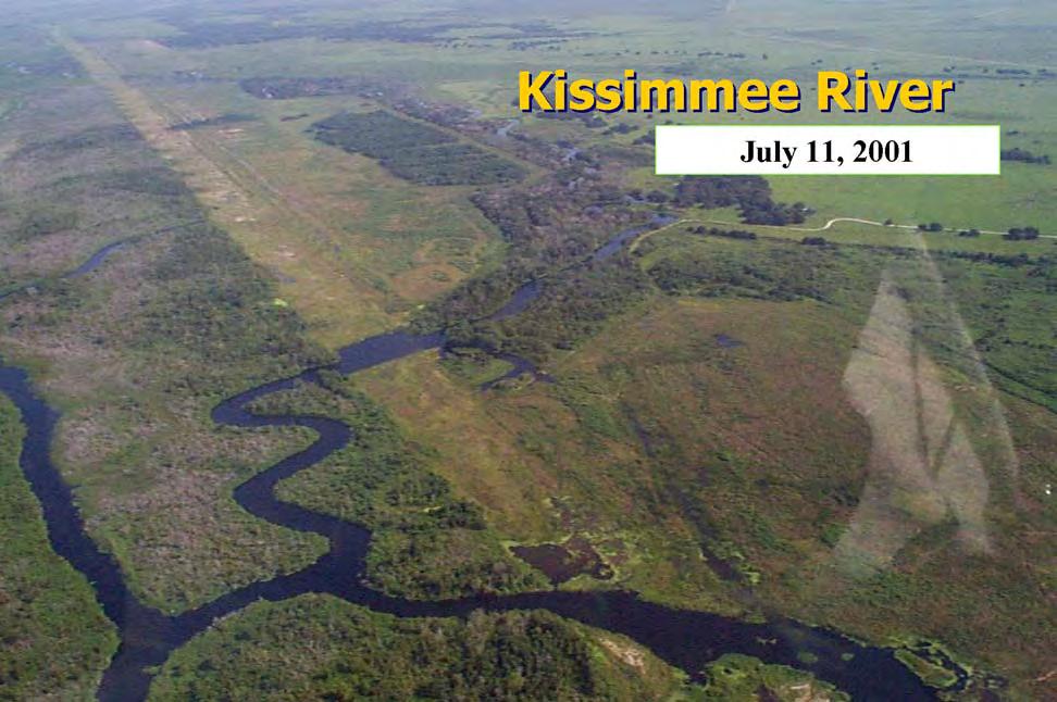
A Laboratory for the Everglades: Kissimmee River Restoration in the 1990s
While the Miccosukee focused on water quality problems, the Corps undertook a remarkable project in the 1990s – the restoration of the Kissimmee River. In the late 1980s, Kissimmee River restoration efforts had crystallized around the concept of watershed restoration, rather than focusing only on dechannelization of the river. The impetus was a growing mass of scientific literature informing the process of restoration, an accumulation of knowledge that increased in the 1990s and defined clearly what restoration meant. Kissimmee River restoration thus became the model for ecosystem management in South Florida, and it convinced federal and state agencies of three things: ecosystem restoration was possible; a clear definition of what was being restored was necessary; and reliance on scientific studies was crucial. The effort also provided many lessons to the Corps of Engineers of what was necessary to make restoration a success, but some still questioned whether the Corps was the proper agency to take the lead in such endeavors.
By the late 1980s, plans to restore the Kissimmee River were tenuous. The Corps could not recommend federal participation, both because it did not have congressional authorization and because dechannelizing the river did not have a positive benefit-cost ratio, at least in basic economic terms. Even when Congress appropriated money for restoration, the Reagan administration refused to allocate the funds. Meanwhile, agricultural interests and cattle ranchers in the Kissimmee basin continued to oppose restoration, concerned that it would infringe on the lands they used for their livelihood. SFWMD officials, however, became increasingly convinced that restoration was necessary, desirable, and possible, and the SFWMD proceeded with a demonstration project attempting to prove those points to detractors.
But questions arose over just what the term “restoration” meant. When Arthur Marshall, Johnny Jones, and other environmentalists had first called for the dechannelization of the Kissimmee in the 1970s, they did so because they be lieved that the river was facilitating the flow of nutrient-rich water to Lake Okeechobee, hastening that lake’s demise. In the 1980s, however, studies showed that phosphorous was the limiting nutrient in the lake and that the Taylor CreekNubbin Slough area and the EAA were the greatest contributors of the mineral.1 Because of these findings, the justification for restoring the Kissimmee River gradually began to turn towards reestablishing the ecological conditions of the Kissimmee River Basin to their prechannelization state, rather than improving Lake Okeechobee’s water quality.2
Throughout the 1980s, scientists such as Louis Toth, a biologist with the SFWMD, published studies of the conditions of the Kissimmee River and its floodplain before channelization. According to Toth, 94 percent of the floodplain was covered with water over 50 percent of the time, while seasonal wet-dry cycles occurred as well. These conditions produced “a mosaic of hundreds of distinct patches of intermingled vegetation,” dominated by three community types: willow and buttonbush woody shrub wetlands; broadl eaf marshes; and maidencane, beakrush, and mixed species wet prairies.3 Toth continued that the basin housed approximately 35 species
of fish, 16 species of waterfowl, 6 species of waterbirds, and numerous invertebrates. When channelization occurred, Toth explained, it drained over 30,000 acres of floodplain wetlands and disrupted the wet-dry cycles, causing water oxygen levels to drop. This caused an exodus of wading birds, a decline in waterfowl populations by 92 percent, a diminishment in fish populations, and exotic replacement of natural vegetation. In order to restore natural conditions to the Kissimmee Basin, Toth argued for a holistic approach to restoration, taking into consideration all of these disparate factors.4
Toth’s ideas were reinforced as the SFWMD monitored the effects of its demonstration project. In 1986, the SFWMD had completed construction of project features in Pool B, a 12-mile stretch of C-38 between S65A and S-65B. Three weirs in the pool redirected water through seven miles of the old Kissimmee River bed, including three of its oxbows, allowing 1,300 acres of pasture to flood. By 1987, the SFWMD could already observe positive results. Marshland plants returned, as did clams and invertebrates. The rapidity of the change surprised even Toth, who stated that he did not “expect to see that much change in such a brief time in an area that hadn’t been flooded in 20 years.”5 The SFWMD continued to monitor the project area until November 1988, claiming that it clearly showed that “restoration of wetland communities on the Kissimmee River floodplain is feasible” and that “restoration of ecological integrity of the river channel is possible.” However, the SFWMD concluded, restoration could succeed only if a “holistic approach” was used to reestablish “both the form and function of the former ecosystem.”6
The need for an integrated approach was emphasized at a Kissimmee River Restoration Symposium hosted by the SFWMD in October 1988 in cooperation with the Florida Department of Environmental Regulation, the Florida Game and Fresh Water Fish Commission, the Office of the Governor, the Florida Dairy Farmers, Inc., and the Florida Sierra Club. Co-sponsored by several national environmental and engineering societies, the conference brought together scientists and engineers from a host of areas to examine data gained from the demonstration project, and to “provide a forum” for scientists and engineers to present their findings “as they relate to options for restoration.”7 Nearly 200 people attended, and 27 papers were presented on subjects ranging from vegetation to fish and wildlife to engineer ing concerns. According to M. Kent Loftin, the SFWMD representative in charge of the demonstration project, the symposium
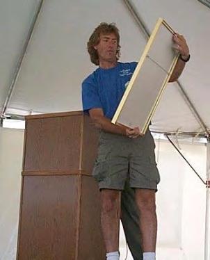
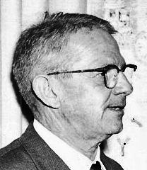
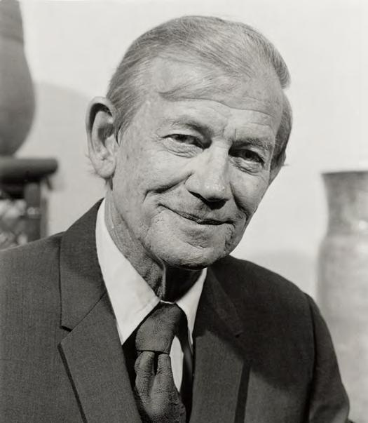
Louis Toth, the guiding scientist of Kissimmee River restoration. (Source: South Florida Water Management District.)
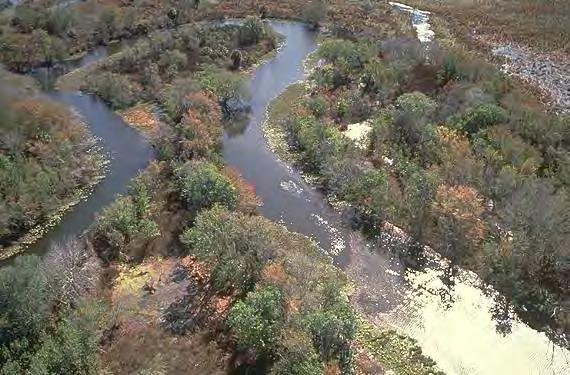
Results of the Kissimmee River Demonstration Project. (Source: South Florida Water Management District.)
was “a major milestone – sort of a starting line for the final lap in a race to restore the Kissimmee River.”8
By the end of the symposium, according to Toth and Nicholas Aumen, two scientists who attended the meetings, participants had decided that restoration efforts would have to revive the “physical, chemical, and biological characteristics, processes and interactions that governed the ecology and evolution of the historic ecosystem” in order to be successful.9 Recognizing this, the conference developed a unified goal for Kissimmee River restoration: the reestablishment of the basin’s “ecological integrity.” Toth later elaborated that this meant “reestablishing a riverfloodplain ecosystem that is capable of supporting and maintaining a balanced, integrated, adaptive community of organisms having a species composition, diversity, and functional organization comparable to that of the natural habitat of the region.”10
To achieve that goal, the symposium outlined specific guidelines and criteria. These included restoring both the “lateral connectivity” and the “longitudinal continuity” between the river and the floodplain, as well as reestablishing pre-channelization vegetation communities in order to recreate habitat. Such endeavors could be accomplished by allowing water flows in the river to approach pre-channelization levels in terms of duration and variability, and by restoring the hydroperiod of floodplain inundation. “The ecosystem restoration goal requires that all criteria [be] interdependent and mutually reinforcing,” Toth and Aumen explained.11
With the development of these goals, guidelines, and criteria, the SFWMD now had a clear restoration objective in mind. In order to determine the best method to obtain that objective, the district, in 1986, had hired Dr. Hsieh Wen Shen, a sedimentation and environmental river mechanics expert at the University of California at Berkeley, a leading center for hydrology research, to examine different restoration proposals. Using computer models for guidance, Shen constructed a 60- by 100-foot model of a square mile section of the river and used it to test various approaches, such as using weirs and plugs to redirect water into the old riverbed or backfilling C-38.12
In 1989, Shen provided SFWMD officials with the data he had gathered for the various proposals, allowing them to evaluate the informati on and decide which alternative they wanted to implement. He recommended backfilling the upper stretches of C-38 as the best plan, but he expressed some apprehension about the whole rest oration process, given that it was another engineering manipulation of nature. “When you disturb a thing one way, and you disturb or distort it another way, there are always all types of dangers,” Shen noted. “My concern is, if any, that in a few years from now, there may be other ecological concerns that we cannot foresee now.”13
Despite Shen’s trepidation, the SFWMD published a report in 1990 detailing what it perceived as the best plan in order to reestablish the “ecological integrity” of the Kissimmee basin. The district determined that a proposal designated as the Level II Backfilling Plan was the only strategy that had the potential to restore all aspects of the ecosystem. Under this plan, large
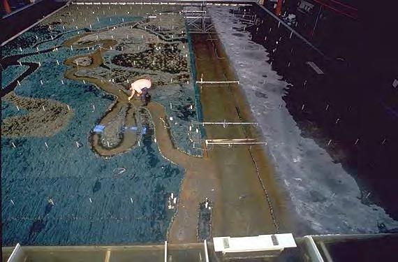
Dr. Hsieh Wen Shen's Kissimmee River model. (Source: South Florida Water Management District.)
sections of C-38 would be filled with dirt, thereby restoring 52 miles of the old river channel and flooding 24,000 acres of floodplain.14 According to Jacksonville District Engineer Colonel Bruce A. Malson, it was “the most aggressive alternative,” calling for the removal of four water control structures along C-38 in order to restore about 50 miles of the original river.15 Despite strong opposition from agriculturists in the basin, Governor Bob Martinez endorsed the proposal, calling it “the only plan that will restore a functional, riverine, floodplain ecosystem with nearly the same biological characteristics as the preproject system,” and he asked the Corps to use its Section 1135 authorization to help the state with the plan.16
Indeed, even though the Corps had recommended no federal involvement in 1987, SFWMD and Florida officials were optimistic that the Corps would now cooperate. For one thing, the presidential administration had changed from Ronald Reagan to George H. Bush. Although no strong supporter of environmental policies, Bush had made some campaign promises relative to the environment, including no net reduction of wetla nds, and he had criticized Governor Michael Dukakis, his opponent in the 1988 presidential election, for ignoring environmental problems in Massachusetts. At the very least, the Bush administration was more open to environmental issues than the Reagan administration. Likewise, Lieutenant General Henry Hatch, who became Chief of Engineers of the Corps in 1988, wanted to “green” the Corps by becoming more responsive to environmental concerns. “We engineers must look at our work in a broad social and environmental context as well as in technical and short term economic terms,” Hatch explained.17 Encouraged by such comments, Senator Bob Graham contacted Hatch and asked him to support the Level II Backfilling Plan. Hatch was reluctant to request Section 1135 funding for the proposal because that section authorized only environmental restoration projects that were consistent with authorized project purposes. The Level II Backfilling Plan, however, would effectively dismantle the Kissimmee River flood control project. Therefore, Hatch wondered whether the Corps could receive authorization and funding from Congress to dechannelize the Kissimmee, and the Jacksonville District prepared draft legislation for this purpose. 18
With the Corps’ support, and through the work of Graham, the Water Resources Development Act of 1990 (WRDA-90), passed in November 1990, contained a section specific to Kissimmee River restoration. Section 306 of the law also stipulated that environmental protection was a major Corps mission. The act therefore directed the Secretary of the Army to make a feasibility study of modifying the Kissimmee River flood control project in order to develop “a comprehensive plan for the environmental restoration” of the river.19 In order to ensure that the Corps’ ultimate proposal was in line with what the state wanted, the law required the Corps to base its study on the Level II Backfilling Plan developed by the SFWMD, and it set a deadline of 1 April 1992 for report submission to Congress.
According to one Corps official, the 16-month turnaround time for the study was a “wink of an eye” for the Corps since it usually took three to four years to complete a feasibility report. Yet the District would have to meet the deadline.20 After the passage of WRDA-90, Graham told Corps leaders, in the words of one observer, that Congress would “hold [their] feet to the fire” and that there would be “hell to pay” if the deadline was missed.21 This political pressure was stiff enough that the Corps made a policy decision to meet the 1 April deadline, and, in the
Jacksonville District, District Engineer Colonel Bruce A. Malson pledged all of his efforts and resources to comply.22
To take charge of the feasibility study, Malson chose Stuart Appelbaum, Chief of the Jacksonville District’s Flood Control and Floodplain Management Planning Division. Appelbaum, who had come to Jacksonville from the Baltimore District, had degrees in water resources engineering, but had no emotional connection with the Kissimmee flood control project, unlike several oldtimers within the District. “We [were] just looking to do whatever need[ed] to be done to solve problems,” Appelbaum related. If that meant “removing the projects or structures that the Corps built in an earlier generation, so be it.” The whole restoration philosophy was a “radical” concept for many in the Corps at the time, Appelbaum stated, but he embraced it as “the thrill of the project.”23
Because of the strict deadline that the Corps faced, and because WRDA-90 specifically instructed the Corps to base its study on the Level II Backfilling Plan, Appelbaum put together a “game plan” that essentially involved putting the SFWMD report into “Corps-speak,” completing a project cost estimate and an EIS, and packaging them all together as one report.24 A Special Review Conference, held in February 1991 to “resolve policy and procedural issues” on Kissimmee River restoration and attended by the SFWMD, the Jacksonville District, the South Atlantic Division, Corps Headquarters, and the Assistant Secretary of the Army (Civil Works), essentially concurred with Appelbaum’s plan, providing a Project Guidance Memorandum to govern the completion of the report. 25 The Jacksonville District then worked feverishly to produce the required document, holding weekly meetings with all of the chiefs of its various branches and using all of its resources. “I had carte-blanche [for] the people that worked for me [to do] whatever was needed,” Appelbaum recollected. “Other projects or jobs suffered for resources because we got whatever we wanted.”26
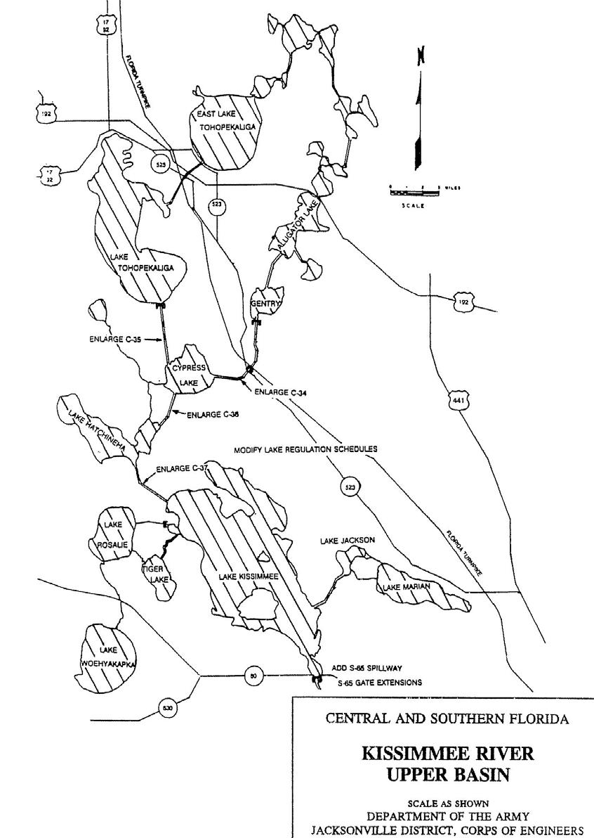
At the same time that the Jacksonville District worked on the Level II Backfilling Plan, it also began a feasibility report on another aspect pertaining to Kissimmee River restoration: modification of the Upper Kissimmee Basin flood control project. The Upper Kissimmee Basin consisted of 15 lakes, including Kissimmee, Tohopekaliga, Hatchineha, Cypress, Gentry, and Alligator, and formed the headwaters of the Kissimmee-Okeechobee-Everglades ecosystem. After receiving permission in the 1954 Flood Control Act to implement a flood control plan in the upper basin, the Corps constructed eight regulatory structures in the headwater lakes. However, the plan created problems for the Lower Kissimmee Basin, as it caused the river to run dry 30 percent of the time.27 As District Engineer Colonel Terrence “Rock” Salt (who replaced Malson in August 1991) explained, the Corps lowered water levels in the lakes before the rainy season began by discharging water to the Kissimmee, and then, once the rains came, it allowed the lakes to fill up with water, rather than releasing it to the Kissimmee. This meant that water flowed down the Kissimmee in the dry season, while the river was essentially dry during the rainy season, an unnatural effect. “In order to get the system to function more naturally,” Salt related, “you have to have a way for the upper lakes to act the way they used to act so that the lower Kissimmee could act the way it used to act.”28
Thus, the SFWMD had recommended in its 1990 report on Kissimmee restoration that work be done on the Upper Kissimmee chain of lakes in order to ensure more natural water flows in the river, and it suggested that this be done as Part I of the river’s restoration. Because the Corps
Upper Kissimmee Basin Headwater Lakes. (Source: U.S. Army Corps of Engineers, Jacksonville District.)
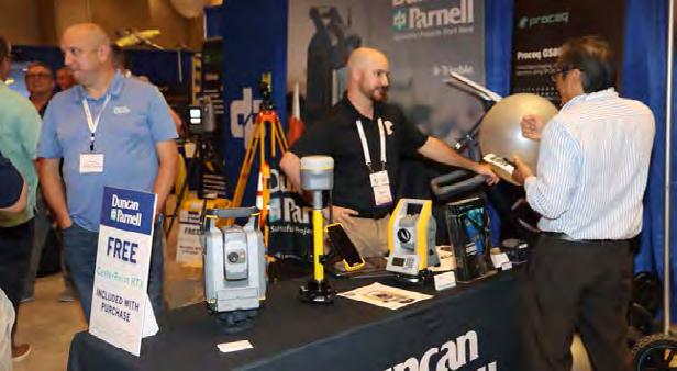
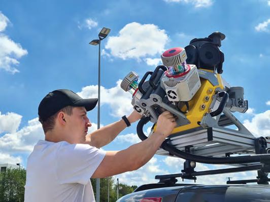
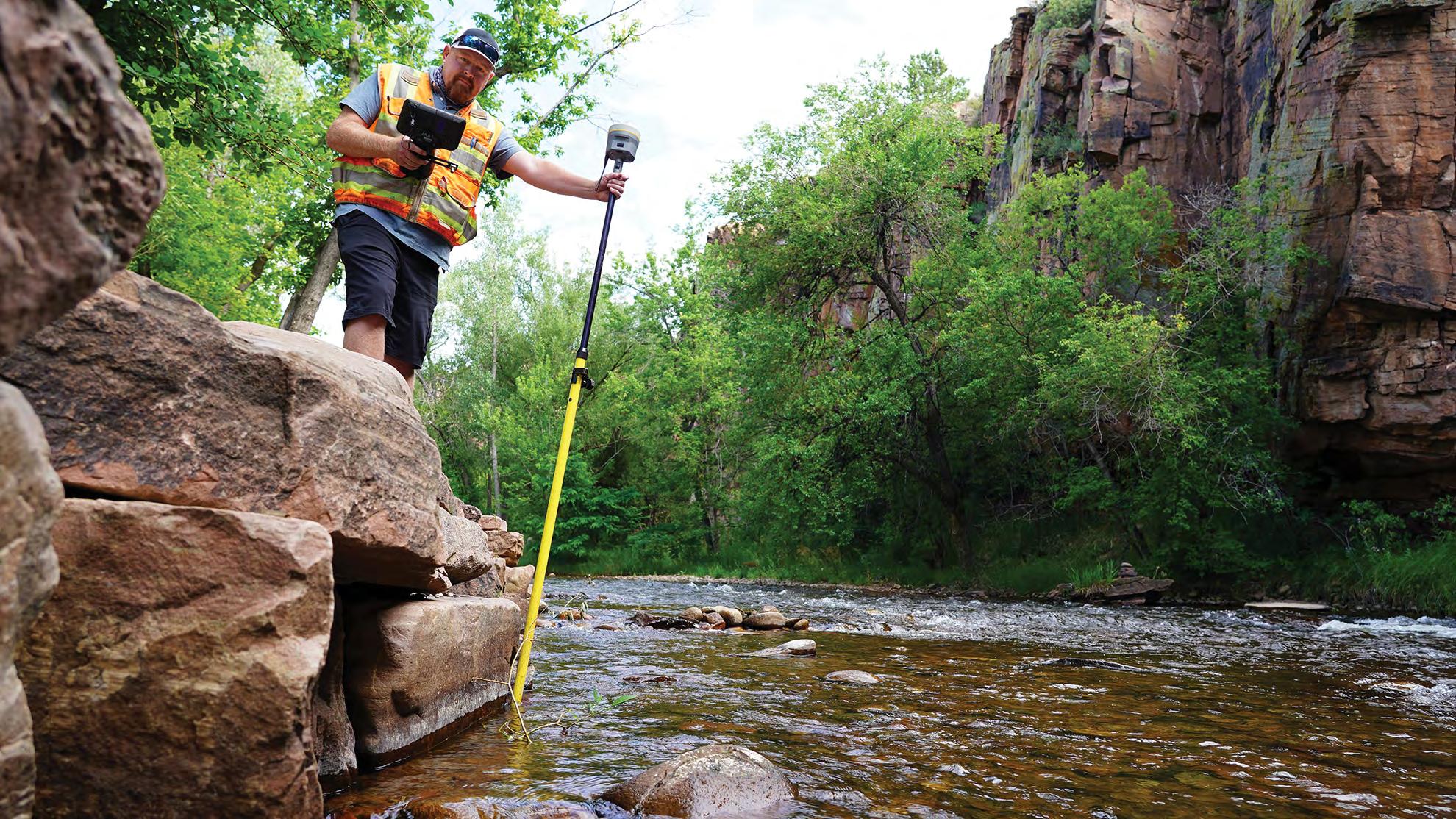
YOUR FLORIDA GEOSPATIAL PARTNER
Duncan-Parnell, along with our valued partners, including Trimble and other top brands, are proud supporters of the Florida Surveying & Mapping Society. From solutions including GNSS, scanning, GPR, drones, and more to services including support, rentals, training, and repair, we are pleased to be your one-stop shop for geospatial professionals throughout the Sunshine State.
Jacksonville, FL (904) 620 - 0500
Orlando, FL (407) 601 - 5816
www.duncan-parnell.com
could perform headwaters revitalization and still maintain the flood control for which the project was authorized, the Corps undertook a study of how the upper lakes system could be modified under the authority of Section 1135 of WRDA-86. As the Board of Engineers for Rivers and Harbors explained, modifying the headwaters project was “a prerequisite for successful restoration of the lower Kissimmee River basin ecosystem.”29
In August 1991, the Jacksonville District produced a draft feasibility report on Kissimmee River restoration and made it available for public comment. The report noted that, although channelization of the Kissimmee River had prevented flooding in the Lower Kissimmee Basin, it had also caused “long term degradation of the natural Lower Basin ecosystem,” including a decline in fish and wildlife populations and a reduction in wetland acreage from 35,000 acres to 14,000 acres.30 To correct these problems, the Corps had examined the SFWMD’s Level II Backfilling Plan and had developed a Modified Level II Backfilling Plan. Under this new proposal, the Corps would
• backfill 29 miles of C-38;
• excavate 18 new river channel sections, totaling 11.6 miles;
• remove project structures in the area of backfilled reaches, including S-65B, S-65C, and S-65D;
• build a bypass spillway and channel at S-65 to serve as Lake Kissimmee’s primary outlet; and
• modify the three weirs in Pool B from the demonstration project in order to “restore flows through oxbows and facilitate local flood plain inundation.”31
To ensure the success of restoration, the report continued, the Corps would complete its Headwaters Revitalization Project, whereby it would modify some structures in the upper lakes to let water pass more easily, as well as acquire land so that it could better regulate discharges from the lakes. The Corps estimated that 68,395 acres of land would have to be obtained in either fee or easement for the entire project, necessitating the relocation of 356 residences. It outlined the total cost of the project as $422 million, with an additional $91 million for headwaters revitalization, and noted that negotiations were still underway as to how cost sharing would work. When completed (after an estimated 15 years), the project would produce a “restored ecosystem” consisting of “56 miles of restored river, 35,000 acres of restored wetlands, improved water quality, and improved conditions for numerous fish and wildlife species.”32
In October 1991, the Corps held public hearings on the draft report. At these hearings, the Okeechobee County Commission went on record as opposing the project for various reasons, including the relocation plan and the belief that the project would harm existing environmental habitat.33 Others expressed concerns about the differences between the Corps’ plan and the SFWMD’s. The SFWMD, for example, did not require the removal of any residences, but the Corps believed it was necessary to acquire land within the five-year floodplain so that the river could run its natural course. Price was another issue, as the Corps’ estimated its project would cost significantly more than what the SFWMD had calculated. The reason for this discrepancy, the Corps stated, was that it had to pay a 25 percent contingency fee on any real estate costs, and because its “more refined” analysis had added items to the cost estimate, including containment
levees and project monitoring.34 Some, however, charged that the Corps was intentionally “jacking up the cost” in order “to kill the project.”35
Other questions revolved around the effects of restoration on navigation and flood control. The Corps related that under its proposal, the river would be “at least 3 feet deep 90% of the time,” allowing most crafts (aside from houseboats) to navigate the river. Likewise, even with the headwaters revitalization proposal, the Corps would continue to provide flood control in the upper basin “at the current authorized level.” In the lower basin, flood control would occur through non-structural means, such as the purchase of lands in the five-year floodplain.36 “Please remember that our findings to date are still tentative,” Colonel Salt declared, “and do not necessarily represent the final results.”37
After receiving comments from the general public and from other interested parties, the Jacksonville District produced its final feasibility report and EIS and transmitted it to the South Atlantic Division Engineer, who approved it in December 1991. This report explained that the major objections to the plan came from two sources: land owners opposed to relocation and recreational boaters concerned about navigation effects. Despite these concerns, the Jacksonville District still claimed that its recommended plan – consisting essentially of backfilling 29 miles of C-38 and excavating 11.6 miles of new river channel, among the other structural changes listed above – offered “the best solution for environmental restoration of the Kissimmee River.”38 Before submission to Congress, however, the report had to go to Corps Headquarters for review by the Washington Level Review Center (which, from 1989 to 1994, was responsible for technical and policy compliance reviews), the Board of Engineers for Rivers and Harbors, the Chief of Engineers, and the Secretary of the Army.
As these examinations were conducted, problems developed over cost sharing. In its initial draft feasibility report, the Corps had listed cost sharing requirements at 75 percent federal and 25 percent state, the normal division for fish and wildlife restoration projects. Before the draft was issued for public comment, a Corps review team composed of Headquarters and Division officials told Colonel Salt to leave the cost sharing requirement open. In the meantime, some environmentalists, including Theresa Woody of the Sierra Club, wondered if the federal cost could be lowered so that Congress would be more likely to approve the project. After receiving additional advice from Corps officials, Salt changed the cost share arrangement in the District’s final report to 50/50.39 This outraged Florida Governor Lawton Chiles. “It is not a showing of good faith to, at this critical point, back away and demand that the local sponsor should shoulder the cost of all lands, easements, rights-of-way, relocation, dredged material disposal areas, plus 50 percent of the construction costs,” Chiles told Salt.40 The Corps argued, however, that since the whole purpose of the proposal was ecosystem restoration, and since the state was basically requiring it to perform this action according to the state’s plans, Florida should have to bear more of the costs.41 “The feds and the state had made this problem,” Salt explained, “and together they would fix it.”42
Other disagreements arose over the number of residences that would have to be moved because of the relocation plan. The displacement proposal led residents of a subdivision and two trailer parks along the banks of C-38 to band together in November 1991 as ROAR – Realists Opposed to Alleged Restoration – in opposition to relocation.43 After hearing numerous protests from concerned property owners, the SFWMD’s governing board concluded in February 1992
that the Corps should not backfill any part of C-38 south of S-65D (essentially, seven miles of the canal in Pool E) and that it should not flood any homes south of U.S. Highway 98, which basically would allow the Kissimmee River Shores and Hidden Acres Estates communities to remain. If the Corps approved these arrangements, it would also mean that only 47 residences would have to be relocated, and that only 22 miles of C-38 would be refilled. At the same time, the SFWMD claimed, it would reduce any economic hardships that the restoration project might cause to local residents.44
In order to discuss these issues, Governor Chiles met with Assistant Secretary of the Army (Civil Works) Nancy P. Dorn in March 1992, the same month that President George Bush declared his support for restoration while on a campaign trip to Florida. In the meeting between Dorn and Chiles, the governor agreed that the backfilling of C-38 south of S-65D would be considered a “locally preferred option,” meaning that if the state wanted that part of the project done, it would be responsible for it without federal participation. Chiles also accepted the modification of weirs in Pool B as a locally preferred option, and he agreed that the state would share construction costs on a 50/50 basis. In return, Dorn committed the federal government’s 50/50 participation in land acquisition. This meant that the state would ultimately pay $286 million for the Level II Backfilling Plan – which now would fill only 22 miles of C-38 – while the federal government would provide $139 million.45
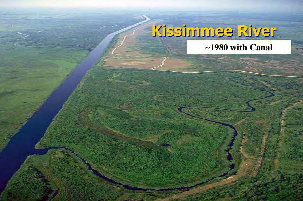
The channelized Kissimmee River. (Source: U.S. Army Corps of Engineers, Jacksonville District.)
With this arrangement in place, the report passed the Washington Level Review Center and went to the Board of Engineers for Rivers and Harbors for approval. According to Colonel Salt, members of the board were upset that they had had no input on the cost sharing formulation, which had already been worked out by the time they received the report, and characterized their review as merely “rubber stamping” a done deal.46 In any case, the board explained in its official report that its review focused on “the proposed performance and effects of the recommended plan.” After examining these aspects and investigating whether the plan conformed to guidelines outlined by the Water Resources Council, the board concurred with the recommendations in the Jacksonville District’s final feasibility report and EIS. It noted, however, that Kissimmee River restoration was “unique” and “should not be viewed as precedent setting, or as a guideline for any future restoration projects,” mainly because it involved “almost the total dismantling of a federally constructed flood control project” and because its “project formulation was constrained by congressional direction.” In addition, the board emphasized that restoration would not succeed unless the Corps implemented the Section 1135 Headwaters Revitalization Project.47
The feasibility report and EIS then went to Chief of Engineers Lieutenant General Henry Hatch, who approved it and transmitted it to the Secretary of the Army. Thereafter, Assistant Secretary of the Army (Civil Works) Nancy Dorn sent th e plan to Congress for its approval on 3 April 1992, requesting that it be included in the Water Resources Development Act of 1992 (WRDA92).48
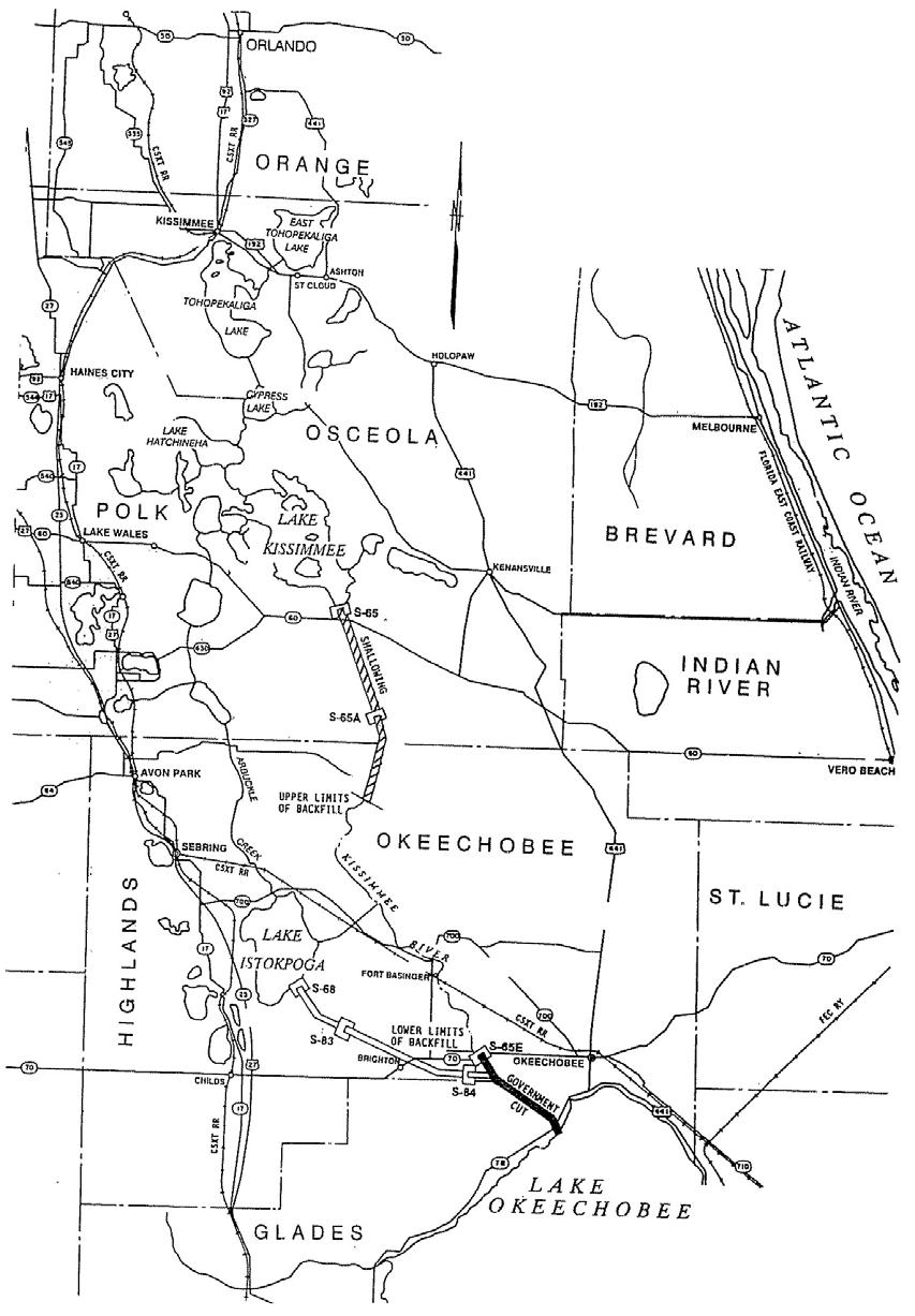
Lake Kissimmee and its connection to the Kissimmee River. (Source: South Florida Water Management District.)
In the spring and summer of 1992, Congress considered the Corps’ report. As it did so, supporters and detractors of the restoration project made their feelings known. The Florida Cattlemen’s Association, for example, unanimously passed a resolution in June in opposition to the project, claiming that it would destroy “many thousands of acres” of wildlife habitat that had appeared since channelization had occurred. Claiming that the Corps had not adequately studied the environmental and economic impacts of restoration, the association registered its strong opposition to dechannelization until the plan went through “the same scrutiny and permitting procedures” as other “large project[s] in this area.”49 The association was not alone in its hostility, as ROAR continued to pepper the SFWMD with questions and concerns about the project, while the Florida Farm Bureau declared its opposition. At the same time, local ranchers made a video of boats floating down C-38 as “Let It Be” played in the background, and Okeechobee County issued a resolution of protest against the project.50
These objections were nothing new; almost since the time that environmentalists began advocating the restoration of the river, opponents had voiced their disapproval. Many critics used the destruction of existing environmental habitat as a reason to oppose the project. John B. Coffey, former chairman of the Glades County Commission and of the Kissimmee River Resource Planning and Management Committee, for example, stated that backfilling C-38 would cause “massive environmental disturbance.” Instead, he advocated state purchase of “submerged lands of the old river.”51 Others believed that environmentalists were bullying the SFWMD, the Corps, and Congress to get what they wanted. “It seems that when Sierra Club or Audubon Society speaks, politicians wet their pants,” W. H. Morse of the Kissimmee/Osceola County Chamber of Commerce declared before accusing environmental groups of misrepresenting the benefits of the project. Morse, as well as many residents around the Kissimmee River and Lake Okeechobee, wanted the Corps to leave the river alone, and he asked Congress not to be “conned” by environmentalist efforts.52
Other interests whole-heartedly supported restoration efforts. The Wilson Ornithological Society, for example, requested that the Corps “proceed with the Level II backfilling plan for the restoration of the flood plain marshes of the Kissimmee River” as soon as possible.53 Meanwhile, the Everglades Coalition, led by Theresa Woody of the Sierra Club, advocated the restoration of the river through the Level II Backfilling Plan. Observing that restoration of the Kissimmee had been “a major environmental priority for the state of Florida since the mid1970s,” Woody related that the plan had “the broad bi-partisan support of the Florida Cabinet, state and national conservation organizations and the last four Governors of Florida,” as well as that of President George Bush and the Corps of Engineers.54 In another publication, Woody explained several ways in which the Level II Backfilling Plan was “a history-making project.” For one thing, she said, it would be “the largest river restoration project ever undertaken”; for another, it would offer the Corps a way to “showcase” its “environmental enhancement” skills, thereby “expanding” its mission. Perhaps most importantly, Woody concluded, it would be a “pioneering work” in the field of ecosystem restor ation, as it attempted “to heal a system that humans have torn apart.”55
Heeding the arguments of the Wilson Ornithological Society and the Everglades Coalition, Congress included Kissimmee River restoration in WRDA-92, which became law on 31 October 1992. Not only did this act authorize “the ecosystem restoration of the Kissimmee River” (at a
total cost of $426 million), it also instructed the Corps to carry out the Headwaters Revitalization Project (at a total cost of $92 million). The only caveat was that the Corps had to “ensure” that the project gave “the same level of flood protection as is provided by th e current flood control project,” but the Corps had already planned for that.56
With the passage of WRDA-92, the Corps began the “precedent-shattering” Kissimmee River restoration project.57 In order to ensure the plan’s success, the Corps tried to implement an effective partnership with the SFWMD, whose project it really was. In the early 1980s, SFWMD officials had evinced some dissatisfaction with the Corps, and its governing board had even discussed divorcing the district from its Corps relationship. Th e major problem was that the SFWMD focused less on flood control and more on water management after its reorganization in the 1970s, and several of its officials believed that the Corps did not share that vision. The Kissimmee River restoration project gave both agencies an opportunity to heal that relationship. “The Kissimmee, to me, was the beginning of the modern era [of working] with the Water Management District,” Stuart Appelbaum would later recollect.58
One of the SFWMD’s roles was to continue to supply necessary scientific information about the process of restoration. An area on which its researchers, including Louis Toth, focused was the importance of the Headwaters Revitalization Project. With his colleague Jayantha Obeyserka, former SFWMD scientist M. Kent Loftin, and William A. Perkins of Battelle Northwest, Toth published a paper in 1993 emphasizing that the “pulse-like” regulation schedule of the headwater lakes produced low dissolved oxygen levels in the river and left it with either low or no flow for extended periods of time. This led to “repetitive fish kills” and “limited floodplain inundation.” Therefore, “modified flow regulation [was] a key component” of the “plan to restore the ecological integrity” of the Kissimmee River.59
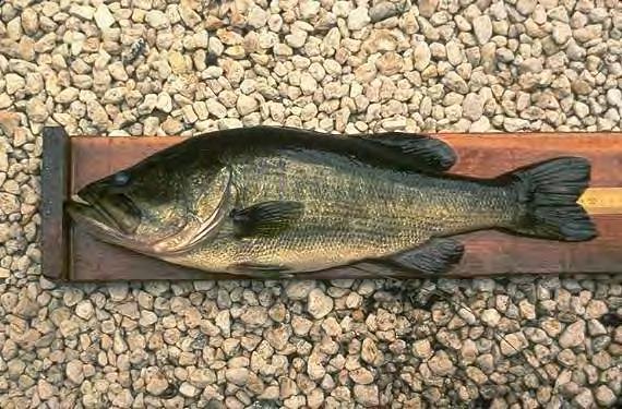
Largemouth bass, one of the fish prevalent in the Kissimmee River. (Source: South Florida Water Management District.)
The Corps agreed. In 1992, it began work on an alternative regulation schedule for the Upper Kissimmee lakes, proposing to increase the permissible high levels in Lakes Kissimmee, Cypress, and Hatchineha from 52.5 feet to 54.0 feet during the dry season, and to raise Lake Kissimmee’s level in the wet season to 52.5 feet (instead of 51.0). This would allow the Corps to elevate seasonal storage capacities by 100,000 acre feet, permitting it to more effectively “simulate the historic seasonal flow from Lake Kissimmee to the Lower Basin.”60 The Corps estimated that the revised schedule would also have positive environmental impacts on the upper basin, including increasing “the quantity and quality of the wetland habitat . . . to benefit fish and wildlife.”61 In addition, the Corps proposed several other measures for the headwaters, including the purchase of 16,000 acres of land bordering Lakes Hatchineha, Kissimmee, Cypress, and Tiger; the widening of C-36
The Kissimmee headwaters. (Source: U.S. Army Corps of Engineers, Jacksonville District.)
(which connected Lake Hatchineha to Lake Cypress) and C-37 (which connected Lake Kissimmee to Lake Hatchineha) in order to “flatten the flood profile through the upper lakes and prevent excessive flooding”; and increasing S-65’s outlet capacity in order to allow Lake Kissimmee to discharge more water.62
Meanwhile, the SFWMD created a Headwa ters Revitalization Project 1135 Study Interagency Team, composed of representatives from the SFWMD, the Corps, the Florida Game and Fresh Water Fish Commission, and the U.S. Fish and Wildlife Service. This interagency group studied various plans, but ultimately concluded, through the use of computer simulation models, that the Corps’ proposal provided the best opportunities for more natural releases from the headwaters.63 At the same time, the team examined how the Corps’ plan would enhance environmental features of the upper basin. Unfortunately, computer models showed that “the potential for environmental benefits within the upper chain of lakes is much lower than originally envisioned.”64 Instead, beneficial environmental impacts from headwaters revitalization would mainly be confined to the river itself. Fearing that headwaters revitalization would thus not meet necessary environmental criteria on its own, and in order to allow the Corps to spend money allocated specifically for headwaters revitalization on either the upper or lower basin plans, the team insisted that the two projects be combined into one.65 Accordingly, a conference report on appropriations for fiscal year 1994 consolidated the two projects, and the Corps developed a Project Management Plan combining the two separate endeavors.66
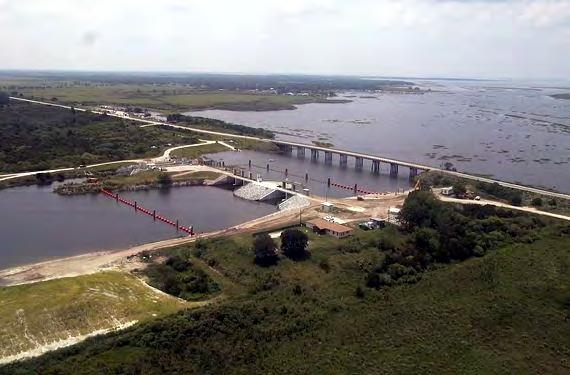
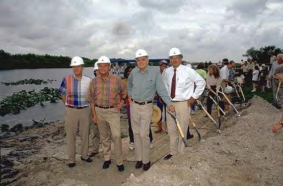
As the headwaters revitalization program progressed, the Corps also began planning a test fill project for C-38 in order to determine the best way to plug the channel, including types of material to use and construction methods. It decided to conduct the test on a 1,000-foot stretch of Pool B, filling the canal with the dredged spoil taken from the area during the original construction of C-38. The test fill began in March 1994 and lasted until August.67 In April, the Corps held an official groundbreaking ceremony near Lorida, located on U.S. Highway 98 between Okeechobee City and Sebring. State officials, federal authorities, and environmentalists all threw dirt into the canal, and newspapers heralded the ceremony as “the first actual step toward fixing South Florida’s plumbing system.”68 Others tempered their enthusiasm. Richard Coleman, a member of the Sierra Club who had been pushing for restoration since the 1970s, characterized the groundbreaking as merely “another step in a long process,” while Theresa Woody of the Sierra Club saw it as only “the first official bit of dirt to go back into the Kissimmee ditch.”69
Even with the beginning of the test fill, much work remained. Since no one had ever restored a river on the scale of the Kissimmee plan, uncertainty existed as to how the ecosystem would react. However, several scientists in South Florida had been promoting the use of a strategy known as adaptive management as key to ecosystem restoration endeavors. Essentially “learning in the midst of doing,” adaptive management was first used by the Northwest Power Planning Council in 1984 in its efforts to preserve salmon in the Pacific Northwest.70 In the late 1980s and early 1990s, Florida scientists such as Buzz Holling, Carl Walters, and Lance Gunderson called for the use of the strategy in South Florida’s ecosystem restoration endeavors. Holling and Walters, for example, organized symposia and workshops with biologists and hydologists to discuss how adaptive management could aid restoration efforts. The central concepts under adaptive management were that uncertainties were unavoidable in resource management.
Instead of avoiding those uncertainties, adaptive management confronted them, using conceptual models to develop hypotheses and then testing them “in the real world.” Based on the feedback from such experiments, strategies would be revised and altered. As one scholar explained it, the concept “aspires to create a new dialogue between humans and nature by treating policy as hypothesis and management as experiment, learning to live with and profit from the uncertainty and variability inherent in interacting ecological, economic and institutional systems.”71
Because of the use of Dr. Hsieh Wen Shen’s model to determine the best plan for Kissimmee River restoration, the waterway seemed like an ideal place to observe how adaptive management could aid in ecosystem restoration. Yet the strategy was not without its critics. For one thing, many correctly observed that its “trial-and-error” method was both slow and costly. Continuous testing and re-testing was frustrating, in large part because of the inability to cite accurate time and funding figures and to gage how those targets were being met. For another, adaptive management’s embrace of uncertainty was unsettling to some. Many policy managers and scientists either preferred to “assume most uncertainty away” or to “seek spurious certitude,” meaning “to break the problem or issue into trivial questions spawning answers and policy actions that are uambiguously ‘correct,’ but, in the end, are either irrelevant or pathologic.”72 Others merely did not want to admit that they did not have all of the answers. Just as importantly, adaptive management was essentially “experimentation that affects social
Senator Bob Graham (second from left) and Governor Lawton Chiles (second from right) participate in the groundbreaking of the Test Fill Project. (Source: South Florida Water Management District.)
arrangements and how people live their lives” since one of its purposes was to understand the impacts that human beings have on the natural world. Therefore, “those who have been users, owners, or governors of an ecosystem” often “resisted or sabotaged” the efforts.73
Regardless of the problems with adaptive management, many scientists and resource managers saw Kissimmee River restoration as an opportunity to integrate its concepts. In July 1991, for example, the SFWMD had established a scientific advisory panel of seven scientists to develop a comprehensive ecological evaluation plan. This commission recommended that any evaluation examine three specific things: whether the restored river and the floodplain met the necessary hydrologic objectives, whether specific biological and ecological characteristics were reestablished, and whether the SFWMD and the Corps had executed an adaptive management plan to track the first two objectives. It also suggested that the evaluation program consist of five stages: establishing reference conditions, ascertaining baseline conditions (or the current status of biological populations), assessing construction impacts, evaluating post-construction restoration, and “fine-tuning” restoration endeavors.74
The SFWMD took these suggestions to heart and formulated a restoration evaluation team in 1992. This team administered the evaluation program, which included the five stages recommended by the scientific advisory committee, as well as the extra step of developing conceptual models.75 The SFWMD placed a high priority on evaluation; as Louis Toth observed, “Restoration evaluation will be the cornerstone of future environmental studies on the Kissimmee.”76 In the meantime, the Corps performed a construction evaluation of the test fill, publishing a report in 1995 on those efforts.77
Yet it took a few more years before construction actually began. For one thing, the Jacksonville District did not finalize its Section 1135 Project Modification Report on the Headwaters Revitalization Project until 1996 (after the District had completed an extreme drawdown of lake levels to clean up lake bottom and shorelines). Under that plan, the Corps proposed to modify regulation schedules, purchase 20,800 acres bordering the lake, and enlarge C-36 and C-37 in order to “restore the Kissimmee River and to expand the Upper Kissimmee Basin lake littoral zones.”78 For another, the Corps and the SFWMD monitored the results of the test fill for a two-year period. According to Jacksonville District Engineer Colonel Terry Rice, who replaced Salt as commander of the District in 1994, the agencies examined water quality improvement, fill stability, and vegetation reestablishment.79 Finally, it took the SFWMD some time to acquire the necessary land along the river; by 1998, it had acquired most of the required tracts.80 In 1999, all the pieces finally came together, resulting in the commencement of C-38 backfilling on 31 March. It did not take many years for positive results to appear; vegetation more characteristic of pre-channelized floodplain marshes soon returned, indicating that Kissimmee River restoration would succeed.81
According to Stuart Appelbaum, the Kissimmee River achievement was significant for the Corps in many ways. For one thing, it was one of the first times that the Corps had undone one of its projects solely for environmental reasons. This gave the Corps much more credibility in the eyes of environmental organizations, such as the Sierra Club, and it formulated better relations with environmental groups. Much of the credit for that goes to Colonels Bruce Malson, Rock Salt, and Terry Rice, who shepherded restoration plans through the Corps bureaucracy and
were willing to make Kissimmee restoration a priority, not only because Congress had mandated it, but because they truly believed in the importance of ecosystem restoration.
Restoration efforts in the 1990s also created a successful partnership with the SFWMD that had been lacking in the 1980s, a time when the SFWMD, in its adjustment to its role as water manager rather than just flood control provider, occasionally clashed with the Corps. Because the state wanted Kissimmee restoration to succeed so badly, and because the Corps was the agency targeted by Congress for that effort, the two sides had to reach an agreement. Thus, both agencies exerted efforts to work together productively, including establishing a partnering charter with clear goals for each entity and conducting periodic partnering workshops. 82 But the Corps also worked with other local and federal groups, including environmental organizations such as the Everglades Coalition, in the Kissimmee project. The importance of outreach and partnerships was not lost on the Corps, which pledged to apply its experiences to the overall Everglades restoration.83
The Kissimmee River project also highlighted how important science was to ecosystem restoration. The work of Louis Toth and other scientists provided a blueprint for the SFWMD and the Corps to follow in its restoration efforts, and also created a process to evaluate how successful restoration would be. As Theresa Wo ody of the Sierra Club related, Toth was “our
The partially restored Kissimmee River. (Source: U.S. Army Corps of Engineers, Jacksonville District.)
scientist, our guide. He believed. . . . He laid out the monitoring program that allowed us to build the science and lay down the baselines.”84 Likewise, the concept of adaptive management, which would take a prominent place in the overall efforts to restore the Everglades, was introduced to many South Florida water planners through Kissimmee River restoration. Scientists regarded the restoration effort as a resounding success in the use of adaptive management in that it “achieved new ecological understanding and fundamental reorganization of large-scale water resource management approaches through iterative interaction of science and management, in a process that engaged stakeholders and generated social learning.” Restoration efforts especially showed that in ecosystem restoration, resource managers needed to establish clear goals, expect surprises, be able to learn from mistakes, and keep communication lines open with all interested parties through public involvement.85
Clearly, efforts to restore the Kissimmee in the 1990s allowed the Corps, the SFWMD, and environmental groups to experiment with the best ways to conduct ecosystem management, and, if nothing else, it showed that if a clear definition of restoration was generated and then implemented, restoration efforts would work. Yet not all was rosy. For one thing, not everyone supported Kissimmee River restoration, including many residents living in the vicinity of the Kissimmee. This indicated that no matter what kind of consensus federal and state agencies reached on ecosystem restoration, some groups would be left on the sidelines. In addition, even though the Corps had effectively planned and begun Kissimmee restoration, some still wondered whether engineers were the best individuals to perform environmental restoration. Louis Toth, for example, claimed that many within the Corps still saw restoration as a “construction project” rather than an effort to reestablish an ecosystem. “These guys just don’t get it,” Toth declared in 2002. “I hate to say it, but [they] haven’t learned anything about restoring an ecosystem.” Toth’s denunciations, although overstated, had a kernel of truth. To Toth, ecosystem restoration meant doing whatever was best for the environment, instead of “manipulating nature and managing different parts of the system for different things.”86
In many ways, Kissimmee River restoration was just another human manipulation of nature –creating more storage in the headwaters so that the Corps could pattern water releases after prechannelization tendencies, and forcing water back through old oxbows rather than through the C38 channel. Was that true ecosystem restoration? If so, then the Corps was clearly the best agency to perform such work, given its experience on the Kissimmee River. Although a definitive answer to that question was elusive, it would continue to be debated throughout the 1990s in the context of Everglades restoration as a whole.
Chapter Sixteen Endnotes
1 See, for example, South Florida Water Management District, Interim Surface Water Improvement and Management (SWIM) Plan for Lake Okeechobee, Part 1: Water Quality and Part VII: Public Information (West Palm Beach, Fla.: South Florida Water Management District, 1989).
2 Louis A. Toth and Nicholas G. Aumen, “Integration of Multiple Issues in Environmental Restoration and Resource Enhancement Projects in Southcentral Florida,” in Implementing Integrated Environmental Management, John Cairns, Jr., Todd V. Crawford, and Hal Salwasser, eds. (Blacksburg, Va.: University Center for Environmental and Hazardous Material Studies, Virginia Polytechnic Institute and State University, 1994), 63.
3 Louis A. Toth, “The Ecological Basis of the Kissimmee River Restoration Plan,” Florida Scientist 56, no. 1 (1993): 29.
4 Toth, “The Ecological Basis of the Kissimmee River Restoration Plan,” 25-32; Joseph W. Koebel, Jr., “An Historical Perspective on the Kissimmee River Restoration Project,” Restoration Ecology 3, no. 3 (1995): 149-152.
5 Quotation in “Return of the River: Florida’s Kissimmee May Meander Again,” The Wall Street Journal, 8 September 1987; see also John Clark, Public Issue Specialist, to Kathy Cavanaugh, Public Issues Specialist, 14 April 1986, File PRO Kiss 380 Committee, Box 21213, SFWMDAR.
6 Quotations in Louis A. Toth, Environmental Responses to the Kissimmee River Demonstration Project, Technical Publication 91-02 (West Palm Beach, Fla.: Environmental Sciences Division, Research and Evaluation Department, South Florida Water Management District, 1991), ii-iii; see also Toth, “The Ecological Basis of the Kissimmee River Restoration Plan,” 39; “Kissimmee River Restoration/Closer Look,” Fall 1988, File PRO Background Kissimmee River Restoration, Box 21213, SFWMDAR; Koebel, “An Historical Perspective on the Kissimmee River Restoration Project,” 154-155.
7 M. Kent Loftin, “Foreword,” in Kissimmee River Restoration Symposium: Proceedings, M. Kent Loftin, Louis A. Toth, and Jayantha T. B. Obeysekera, eds. (West Palm Beach, Fla.: South Florida Water Management District, 1990), iii.
8 Loftin, “Foreword,” iii.
9 Quotations in Toth and Aumen, “Integration of Multiple Issues in Environmental Restoration and Resource Enhancement Projects in Southcentral Florida,” 64-65; see also Koebel, “An Historical Perspective on the Kissimmee River Restoration Project,” 154-155.
10 As quoted in Louis A. Toth, D. Albrey Arrington, and Glenn Begue, “Headwater Restoration and Reestablishment of Natural Flow Regimes: Kissimmee River of Florida,” in Watershed Restoration: Principles and Practices, Jack E. Williams, Christopher A. Wood, and Michael P. Dombeck, eds. (Bethesda, Md.: American Fisheries Society, 1997), 432.
11 Toth and Aumen, “Integration of Multiple Issues in Environmental Restoration and Resource Enhancement Projects in Southcentral Florida,” 64-65.
12 “Stakes High in Kissimmee Experiment,” The Miami Herald, 4 August 1989; “Kissimmee River Restoration/Closer Look.”
13 As quoted in “Stakes High in Kissimmee Experiment,” The Miami Herald, 4 August 1989; see also “Everglades: Render Back to Nature,” The Economist 298 (9 December 1989): 50; “Kissimmee River Restoration/Closer Look.”
14 Major General C. E. Edgar III, Chairman, Board of Engineers for Rivers and Harbors, to Chief of Engineers, 12 March 1992, unlabeled black binder, Box 4386, JDAR.
15 Quotations in Colonel Bruce A. Malson interview by Joseph E. Taylor, 15 August 1991, Jacksonville, Florida, 2, transcript in Library, Jacksonville District, U.S. Army Corps of Engineers, Jacksonville, Florida; see also Buker, The Third E, 88.
Chapter Sixteen Endnotes (continued)
16 Bob Martinez, Governor, to Honorable Robert W. Page, Assistant Secretary for Civil Works, Department of the Army, 28 March 1990, File PRO Kissimmee Restoration Plan Authorization, 1990, Box 21213, SFWMDAR.
17 As quoted in “Corps of Engineers Focus on the Environment in the 1990’s: A New Direction for a New Decade,” U.S. Army Corps of Engineers, Jacksonville District, News Release, 18 January 1990, File PRO Kissimmee Restoration Plan Authorization, 1990, Box 21213, SFWMDAR.
18 See Appelbaum interview, 8; “Kissimmee River Restoration/Section 1135 Project Briefing Paper,” Binder Kissimmee River Section 1135 Study, Box 4383, JDAR; Lewis Hornung, Project Manager, Kissimmee River Restoration, “Presentation to the South Florida Water Management District,” File PRO Kissimmee Restoration Plan Authorization, 1990, Box 21213, SFWMDAR.
19 Water Resources Development Act of 1990 (104 Stat. 4604, 4624-4625).
20 Appelbaum interview, 11.
21 Appelbaum interview, 8.
22 John Broaddus, CECW-ZE, to MG Kelly, 21 February 1991, Binder Kissimmee River Restoration General, Box 4384, JDAR.
23 Appelbaum interview, 9-10.
24 Appelbaum interview, 8-9.
25 Quotation in Jimmy F. Bates, Chief, Policy and Planning Division, Directorate of Civil Works, Memorandum for Commander, South Atlantic Division, 8 March 1991, Binder Kissimmee River Restoration General, Box 4384, JDAR; see also Russell V. Reed, Study Manager, Memorandum for Record, 21 February 1991, ibid.; The Kissimmee River, Florida, Project,” May 1999, 2, Kissimmee River Restoration Miscellaneous Facts & FDM-1 & FDM-2 Binder, Box 4382, JDAR.
26 Appelbaum interview, 11, 13.
27 “Kissimmee Restoration Flooded With Options,” The Palm Beach Post, 26 June 1989.
28 Colonel Terrence C. Salt interview by George E. Buker, 18 July 1994, Jacksonville, Florida, 22, transcript in Library, Jacksonville District, U.S. Army Corps of Engineers, Jacksonville, Florida [hereafter referred to as Salt interview – Buker).
29 Quotation in Major General C. E. Edgar III, Chairman, Board of Engineers for Rivers and Harbors, 12 March 1992, in House, Kissimmee River Restoration Study, 102d Cong., 2d sess., 1992, H. Doc. 102-286; see also “Proposal for Project Modifications for Improvement of Environment Under Section 1135, Water Resources Development Act of 1986, Kissimmee River, Florida,” December 1990, Binder Kissimmee River Restoration General, Box 4384, JDAR.
30 “Summary of Corps Feasibility Report,” 25 September 1991, 1-5, File DEIS, Box 1263, JDAR.
31 “Summary of Corps Feasibility Report,” 1-5.
32 Quotations in “Summary of Corps Feasibility Report,” 1-5; see also Salt interview – Buker, 22-23.
33 Dave Johnson to Tom MacVicar, 4 October 1991, File PRO Kissimmee River Restoration, Box 21213, SFWMDAR.
34 “Issues for Public Meeting,” 30 September 1991, File DEIS, Box 1263, JDAR.
35 “A New Kissimmee Curve,” The Palm Beach Post, 10 September 1991.
36 “Issues for Public Meeting,” 30 September 1991.
37 “Procedure for Public Meeting on Kissimmee River Restoration Feasibility Study,” 8, File DEIS, Box 1263, JDAR.
Chapter Sixteen Endnotes (continued)
38 U.S. Army Corps of Engineers, Jacksonville District, Central and Southern Florida Project, Final Integrated Feasibility Report and Environmental Impact Statement: Environmental Restoration, Kissimmee River, Florida (Jacksonville, Fla.: U.S. Army Corps of Engineers, 1991), n.p. (quotation in syllabus section).
39 Salt interview – Catton, 4; see also “Wildlife Agency Enters Kissimmee River Fray,” The Palm Beach Post, 10 October 1991; Kent Loftin, “Restoring the Kissimmee River,” Geotimes 35 (December 1991): 16.
40 Lawton Chiles to Colonel Terrence Salt, Chief Engineer, Jacksonville District Corps of Engineers, 18 November 1991, File PRO Kissimmee River Restoration, Box 21213, SFWMDAR. SFWMD Executive Director Tilford Creel expressed these same views. See Creel to Salt, 19 November 1991, ibid.
41 Appelbaum interview, 9.
42 Salt interview – Catton, 4.
43 The organization was originally known as Residents Opposing Alleged Restoration, but it changed its name in August 1992 because the original name indicated that it was only “a small group of homeowners who lived on the river and were just trying to save their homes.” “ ‘Realists’ Oppose Alleged River Restoration,” Okeechobee News, 30 August 1992.
44 See Kissimmee River Restoration Update, South Florida Water Management District, 22 October 1992, File PRO Kissimmee River Restoration, Box 21213, SFWMDAR; attachment to Tilford C. Creel, Executive Director, to Ms. Susan L. Marr, President, ROAR, 13 July 1992, ibid.; Louis A. Toth and Nicholas G. Aumen, “Integration of Multiple Issues in Environmental Restoration and Resource Enhancement Projects in Southcentral Florida,” 68; Buker, The Third E, 88-89.
45 See Kissimmee River Restoration Update, South Florida Water Management District, 22 October 1992; Lieutenant General H. J. Hatch, Chief of Engineers, to The Secretary of the Army, 17 March 1992, in House, Kissimmee River Restoration Study; Lawton Chiles to Ms. Nancy Dorn, Assistant Secretary of the Army for Civil Works, 11 March 1992, in ibid.; “U.S. Agrees to Pay Half of River Restoration,” Sun-Sentinel, 6 March 1992; “Critics Vow To Keep Fighting Kissimmee River Restoration,” The Tampa Tribune, 12 October 1992; “SFWMD Says Bush Administration Decision is Great News for Kissimmee Restoration,” South Florida Water Management District Press Release, 5 March 1992, File PRO Kissimmee River Restoration, Box 21213, SFWMDAR.
46 Salt interview – Catton, 4.
47 Major General C. E. Edgar III, Chairman, Board of Engineers for Rivers and Harbors, 12 March 1992, in House, Kissimmee River Restoration Study
48 Nancy P. Dorn, Assistant Secretary of the Army (Civil Works), to Honorable Thomas S. Foley, Speaker of the House of Representatives, 3 April 1992, in House, Kissimmee River Restoration Study; Hatch to The Secretary of the Army, 17 March 1992.
49 “Kissimmee River Restoration,” attachment to Paul Genho, President, Florida Cattlemen’s Association, to John Studt, Chief of Regulatory Branch, 25 June 1992, File 1110-2-1150a 1135 Kissimmee River Correspondence 1992, Box 1263, JDAR.
50 Michael Grunwald, “An Environmental Reversal of Fortune: The Kissimmee’s Revival Could Provide Lessons for Restoring the Everglades,” The Washington Post, 26 June 2002; “ROAR Questions River ‘Restoration’ Plan,” Okeechobee News, 5 April 1992; “County Resolution Protests Kissimmee River ‘Restoration’ Plans,” Okeechobee News, 15 January 1992; “Critics Vow To Keep Fighting Kissimmee River Restoration,” The Tampa Tribune, 12 October 1992.
51 John B. Coffey, “Rerouting of Kissimmee River A Waste of Taxpayers’ Money,” The Palm Beach Post, 11 November 1991.
52 Quotation in W. H. Morse, Chairman, Waterways Task Force, Kissimmee/Osceola County Chamber of Commerce, to Honorable Daniel Patrick Moynihan, 10 July 1990, File PRO Kissimmee Restoration Plan
Chapter Sixteen Endnotes (continued)
Authorization, 1990, Box 21213, SFWMDAR; see also Morse to The Honorable Henry J. Nowak, U.S. Representative, 1 October 1990, ibid.
53 “Resolution by the Wilson Ornithological Society,” attachment to Richard C. Banks, President, to Colonel Terrance Salt, District Engineer, 28 May 1992, File 1110-2-1150a 1135 Kissimmee River Correspondence to 1992, Box 1263, JDAR.
54 Theresa Woody, Sierra Club, to The Honorable Robert A. Roe, 18 September 1992, File PRO Kissimmee River Restoration, Box 21213, SFWMDAR.
55 Woody, “Grassroots in Action,” 204-205.
56 Water Resources Development Act of 1992 (106 Stat. 4797, 4802).
57 Appelbaum interview, 9.
58 Appelbaum interview, 11-12.
59 Louis A. Toth, et al., “Flow Regulation and Restoration of Florida’s Kissimmee River,” Regulated Rivers: Research & Management 8 (1993): 155, 164.
60 A. J. Salem, Chief, Planning Division, to Addresses on Attached List, 14 August 1992, File Kissimmee Headwaters Revitalization Section 1135, Box 1263, JDAR.
61 Kissimmee River Headwaters Revitalization, Section 1135 Study, Team Meeting, 14 September 1993, Binder Kissimmee River Restoration Miscellaneous Facts & FDM-1 & FDM-2, Box 4382, JDAR.
62 “Central and Southern Florida Project, Kissimmee River, Headwaters Revitalization Project: Draft Integrated Project Modification Report and Supplement to Final Environmental Impact Statement (EIS),” n.d., File Kissimmee Headwaters Revitalization Section 1135, Box 1263, JDAR.
63 Michael A. Smith, CESAJ-PD-PF, Memorandum for Record, 30 November 1993, Binder Ukiss #3, Box 4386, JDAR; “Kissimmee 1135 Hydrologic Model Review, Scope of Work,” Binder Joint Probability Coincident Frequency, Box 4382, JDAR; “Kissimmee 1135,” 21 March 1994, ibid.
64 Smith, Memorandum for Record, 30 November 1993.
65 “State Plans Fight to Restore Money for Kissimmee River,” The Palm Beach Post, 9 April 1993.
66 “The Kissimmee River, Florida, Project,” May 1999, 7, Kissimmee River Restoration Miscellaneous Facts & FDM-1 & FDM-2 Binder, Box 4382, JDAR.
67 Koebel, “An Historical Perspective on the Kissimmee River Restoration Project,” 157.
68 “Fixing Nature’s Filter,” The Palm Beach Post, 2 May 1994.
69 First quotation in “Restoring A River,” The Miami Herald, 1 May 1994; second quotation in “Ground Broken, Returned to River,” The Orlando Sentinel, 24 April 1994.
70 National Research Council of the National Academies, Science and the Greater Everglades Ecosystem Restoration (Washington, D.C.: The National Academies Press, 2003), 63.
71 Quotation in Steven Light, “Key Principles for Adaptive Management in the Context of Everglades History and Restoration,” paper presented at Everglades Restoration Adaptive Management Strategy Workshop, October 2003, copy provided by James Vearil, Senior Project Manager, RECOVER Branch, Programs and Project Management Division, U.S. Army Corps of Engineers, Jacksonville District, Jacksonville, Florida; see also Lance Gunderson, “Resilience, Flexibility and Adaptive Management – Antidotes for Spurious Certitude?” Conservation Ecology 3, no. 1 (1999): 7, copy available at <http://www.consecol.org/vol3/iss1/art7> (28 April 2006); James Vearil, personal communication with authors, 19 April 2006.
72 Gunderson, “Resilience, Flexibility and Adaptive Management.”
Chapter Sixteen Endnotes (continued)
73 Kai N. Lee, “Appraising Adaptive Management,” Conservation Ecology 3, no. 2 (1999): 3, copy at <http://www.consecol.org/vol3/iss2/art3> (28 April 2006).
74 Koebel, “An Historical Perspective on the Kissimmee River Restoration Project,” 157-158; see also “Restoration Evaluation Program,” unlabeled black binder, Box 4386, JDAR.
75 Tilford C. Creel, Executive Director, South Florida Water Management District, to Mr. David Ferrell, Field Supervisor, U.S. Fish and Wildlife Service, 25 November 1992, File 1110-2-1150a 1135 Kissimmee River Correspondence 1992, Box 1263, JDAR; “Restoration Evaluation Program.”
76 Toth, “The Ecological Basis of the Kissimmee River Restoration Plan,” 47.
77 For an example of the Corps’ findings, see U.S. Army Corps of Engineers, Jacksonville District, Central and Southern Florida Project, Kissimmee River Restoration Test Fill Project: Construction Evaluation Report, Preliminary Draft (Jacksonville, Fla.: U.S. Army Corps of Engineers, Jacksonville District, 1995).
78 Quotation in U.S. Army Corps of Engineers, Jacksonville District, Kissimmee River, Florida, Headwaters Revitalization Project: Integrated Project Modification Report and Supplement to the Final Environmental Impact Statement (Jacksonville, Fla.: U.S. Army Corps of Engineers, Jacksonville District, 1996), n.p. (included in syllabus); see also Buker, The Third E, 90-91; “The Kissimmee River, Florida, Project,” May 1999, Kissimmee River Restoration Miscellaneous Facts & FDM-1 & FDM-2 Binder, Box 4382, JDAR.
79 Rice interview, 27.
80 South Florida Water Management District, Save Our Rivers: 1998 Land Acquisition and Management Plan (West Palm Beach, Fla.: South Florida Water Management District, 1998), 46-50.
81 Grunwald, “An Environmental Reversal of Fortune.”
82 “Final Report for the Partnering Workshop, Kissimmee River Restoration Project, August 27-29, 1997,” File Kissimmee Headwaters Revitalization Section 1135, Box 1263, JDAR.
83 Kimberly Brooks-Hall interview by Theodore Catton, 7 July 2004, Jacksonville, Florida, 1.
84 Theresa Woody interview by Theodore Catton, 18 January 2005, Naples, Florida, 7.
85 “RECOVER Workshop Case Study: Kissimmee River Restoration,” paper written by Steven Light and presented by Kent Loftin at the CERP Adaptive Management Workshop, June 2003, copy provided by James Vearil, Senior Project Manager, RECOVER Branch, Programs and Project Management Division, U.S. Army Corps of Engineers, Jacksonville District, Jacksonville, Florida.
86 Both quotations cited in Grunwald, “An Environmental Reversal of Fortune.”
PRECISION BEYOND BOUNDS
FRONTIER PRECISION UNMANNED SOLUTIONS
Frontier Precision has been leading the way in delivering innovative solutions – on land, air and underwater with our Unmanned technology. Now, every place on earth is reachable – with our UAS/ Drones, ROV’s, and LiDAR solutions. We help you with the latest technology to get your job done efficiently while keeping your business profitable.
UAS / DRONE DOCKS
The latest innovations in drones and docks to deliver the right product for the right UAS application.
LIDAR / SENSORS
LiDAR/Sensor solutions designed for precision data collection.
UNDERWATER ROVS
Deep Trekker’s underwater ROVs showcase proven durable and innovative solutions.
FRONTIER PRECISION | JACKSONVILLE, FL
Jordan Baranowksi | 904.855.9827 [Office] or jordanb@frontierprecision.com
FIND OUT MORE AT: www.frontierprecision.com/unmanned
Journey to the Edge of the Universe
FACES ON THE FRONTIER
FLORIDA SURVEYORS AND DEVELOPERS IN THE 19TH CENTURY
by Dr. Joe Knetsch
CONCLUSION
From the Red Hills region to the swamps and mire of the Everglades and from the ti-ti tangles of northern Florida to the mangrove jungles of the southwestern coast the history of surveying in Florida has been one of continuous struggle and perseverance. Cutting through the mangroves proved almost impossible for Albert Gilchrist and a major compromise had to be worked out over an extended period before a proper and adequate resolution could be reached. It was not perfect and could not be so given the relative ignorance of those unfamiliar with the nature of the mangrove swamps. Benjamin Clements lost his son and members of his crew, most of whom were close personal acquain tances, on his survey of the Escambia River country. Sam Hope faced the nearly impossible task of surveying the swamps of Lake Istokpoga and nearly begged to not be required to return to that portion of the state again. Yet these men and oth ers stuck to the job at hand and put out the comers that we rely upon to this very day to identify the property we own.
Robert Butler faced the unenviable task of setting up the first Surveyors Gen eral Office in the frontier settlement—one can hardly call it a town at that stage of Tallahassee. His first message out of this sparsely settled region was by Indian courier. There were few roads and the town was over twenty miles from the coast. Getting materials to run the office, like paper, ink, writing utensils and so forth was difficult at best and sometimes proved impossible. To keep the valuable records safe and dry, Butler had to order the office to be built along specific archi tectural lines that were difficult to achieve given the lack of available talent in the region. Trying to pay the surveyors
when their work was finished was nearly impossible with the local banks discounting the currency of the financial houses upon which the bills were drawn. The rectangular system of surveying was still young enough that the General Land Office [GLO] was willing to experiment with new techniques, like the “compound meander” which made things even more difficult. That Colonel Butler did so well getting talented men to lay out the lines of survey and have them recorded and sold is a solid achievement little appreci ated in this day of GPS and other techniques of modern technology.
Benjamin Putnam put up a stiff resistance to the office being used to approve or oversee the implementation of the Swamp and Overflowed Lands Act of 1850. This act put a tremendous burden on his staff and with little direction from the GLO the task demanded much more than he could provide in a timely manner.
The definition of Swamp and Overflowed lands itself left much to interpretation and still plagues the profession to this very day. How wet must the land be to prevent its being used to grow a normal agricultural crop? Where does one draw the line between the river and the neighboring swamp that may or may not be tempo rarily overflowed during the wet season? ls the line of private verses public prop erty drawn at the open water, swamp line or ordinary high water line and how do you determine each? Such questions made Putnam’s job nearly impossible since he did not choose the selecting agents responsible for choosing the swamp lands for Florida.
The field notes required by the selecting agents placed an added burden on the limited office staff and in many cases corrections had to be made before the swamp land selection lists could be forwarded to Washington for final approval. Many of the lands selected were high and dry because only a fraction of the selection had to meet the criteria set up by the act itself. One recent historian/scientist, not understanding the meaning and actual implementation of the act, went so far as to equate the number of acres selected with actual swamp land. The reality, as Benjamin Putnam well knew and predicted, was far different. In fact, Congress passed a clarification of sorts in 1857 which gave all lands then selected, whether swamp or not, to the states. Arkansas wound up getting title to lands in some of the Ozark region high up in the mountains. Such difficulties Putnam saw coming and tried to
steer his office clear of the legal and practical problems of the act. In this effort he did not succeed.
These may sound like little technical problems that later surveys and instruc tions could correct; however, that was not the case. With the state of Florida receiving over 20,000,000 acres under the Swamp and Overflowed Lands Acts these problems continue to plague us today. Surveyors today face the problem of accurately retracing these original lines using the field notes, plats and other avail able evidence to locate the original corners set up over one hundred and fifty years ago. With the development of the state, the drainage of vast acreages and the changing of river courses by various engineering projects, it is almost impossible to find some evidence of the original corners today. In areas of vast timbering or dredging, the likelihood of finding such evidence is very small. As the trees which were marked as witness trees or mounds built to signify the actual corners have disappeared the task of retracing these corners and the lines upon which they depend has become more and more difficult with each passing year. Because pro fessional standards, the law and frequent court decisions require that a surveyor do such a “retracement,” the difficulty in finding the original evidence drives up the costs of such surveys.
The fact that Florida also had a large number of Spanish Land Grants approved by the courts and land commissions also made the surveying of the public lands more difficult. Because most of the lands granted outside of fifteen miles from the city of St. Augustine were in territory held either by the Native American population or contested with intruders from Georgia, these were probably never surveyed by a Spanish surveyor. George J. F. Clark, the man most responsible for survey ing lands in the last years of Spanish control, testified that this was the case and that it was simply too dangerous to send any surveyors outside of these limits. Andres Burgevine, one of the more prolific surveyors under Clark’s direction, also testified that he was “on the ground but never around it” when he discussed the approved survey of the Great Arredondo Grant. In other words, he did not survey it or put out any corners signifying the boundaries of same. The U. S. Deputy Sur veyors who tried to follow in their footsteps found that there were no footsteps to follow or corners to find. For surveyors like F. L. Dancy, this presented a number of problems which often led to charges of fraud and manipulation by those
who owned the grants. Following court orders to find surveys never done was an impossible task. It placed a great amount of responsibility on the U. S. Deputy Surveyors to find and lay out the lines of Spanish surveys based upon the best information available, which was often the order itself or a copy of the evidence provided to justify the claim.
Dancy and other surveyors had to match the calls of the Spanish surveys, which were seldom actually done in the field, with the surrounding topography. They also advertised in local newspapers for holders of the grants to provide guid ance and information regarding the placement of their grants. Quite frequently this was not provided by the holders of the grants because, in West Florida in par ticular, the old Spanish law gave proven errors in the surveys to other individuals not the grant holders. The person finding the error usually received some com pensation for the discovery and that led to a distrust of U. S. surveyors when they asked for information. Benjamin Clements and James Exum met with this prob lem constantly in their attempts to survey lands in and around Pensacola. In East Florida where the lands were rarely surveyed in fact the plats of surveys provided usually were in error and described lands not found in that location. The discre tion of the U. S. surveyors was the only means of ever getting the lands lines done properly. Even here, as in the case of D. A. Spaulding, there were mistakes made. Spaulding faced the error made by another deputy and a change in the line of sur vey by a court decision in favor of a powerful political figure. That he succeeded so well in his survey is testimony to his remarkable abilities.
There has been in recent years a rumor spread for political purposes that all of the surveys done in early Florida were unreliable, either through fraud or lack of integrity on the part of the surveyors. One of the most consistent rumors, repeated by an allegedly responsible bureaucrat to two state legislators, is that most of the surveys of early Florida were done by drunken men sitting on bar stools in St. Augustine. This is far from the truth! Only one man was ever accused and proven to match this description and most of his work was quickly disallowed by the Surveyor General of Florida and the GLO. As the essays on John Jackson, Sam Hope, Sam Reid and the others prove, these men were of the highest caliber and trustworthy public servants. Almost all of the early surveyors of Florida were community leaders, highly educated for the day and possessed the trust of their fellow citizens. Over the last fifteen years the
author has had the privilege of talking to many of the Public Land Surveyors of Florida today. Many of the author’s acquaintances in the field have over fifty years of field experience following the lines of the early surveyors. It is the unanimous feeling among these professionals that given the technology of their day the vast majority of the early surveys of Florida were true representatives of the land surveyed and very accurately done. The men who performed these surveys are held in the highest regard by all con cerned and knowledgeable about surveying. Every profession has its “clunkers” and surveying is no exception. However when looking into the history of Florida surveying and the remarkable accuracy of the early work done in a most difficult terrain the results are stunning. Only a hack politician with no knowledge of public lands surveying in Florida would ever spread such defaming rumors about the work of a remarkable group of professionals.
As often noted in seminars conducted by this author, the first surveys of Flor ida were done with the intent of getting saleable lands on the market. Lands deemed by the surveyor to be too swampy, of poor quality or not suited to cultivation were to be bypassed and picked up as “piece work” at a later date. The sale of public lands was a major source for government revenue at that time and along with the tariff was the largest provider of money to run the government. Getting saleable lands on the market was the highest priority. Contracts for early surveys often called for 600 to 800 miles of lines to be run in a four to six month surveying season. This called for rapid decisions in the field and choices had to be made as to what area to survey and which to leave alone. Because many of the early sur veyors and settlers were from northern climates, what today is considered as prime agricultural lands were then looked upon as unsuitable for farming. The rating system, of first, second or third rate lands was derived from areas other than Florida. Hardwood hammocks were considered fertile and most desirable. Sandy pine and palmetto ridge land was looked upon as poor agricultural land and sec ond rate only. Swampy lands covered with cypress islands or wet prairies were considered third rate at best and totally worthless for farming. These were consid ered as being good for range cattle only, a point picked up nicely in the novels of Patrick Smith. Surveying only in the dry season also meant that some lands were chosen to be surveyed that during the wet season were frequently covered with inches of water and therefore unsuitable for farming. The rush to get the land on the market put
tremendous pressure on the Surveyors General and the surveyors of Florida and other states. It also meant that many streams, rivers and lakes were not meandered as provided for in the instructions which also changed often over time. The relatively frequent changes in the instructions also provided for confu sion which some have confused with incompetence in surveying. Every survey has to be evaluated as to the instructions under which it is done, the time table allotted for its completion, the type of instrumentation available to the surveyor and many other variables. Simple, snap judgments based upon cursory reviews of the plats or other data will not suffice to determine the accuracy of a particular survey or surveyor.
As for the development of Florida it is easy to blame the Hamilton Disstons of the world for our current ecological problems. Many in the environmental com munity have rushed to judgment concerning the activities of developers such as Disston, Hope and Gilchrist. However, no one can be considered outside of the time in which they live and the knowledge which we now possess cannot be trans mitted backward in time. Our current state of knowledge about the Everglades’ importance was not known to Disston or Governor Broward. What they saw was a vast area of rich muck lands perfect for the growth of sugar cane and other such crops. Drain the water from the Everglades and open them for farming was the driving force behind each man, woman and child of that day. Those who suc ceeded were considered great men. When Disston opened the Cross-Prairie canal to drain Little Lake Tohopekaliga into Big Lake Tohopekaliga it was a big event and opened a vast acreage to farming and development. Kissimmee, St. Cloud and other towns of Osceola County owe their very existence to the drainage conducted by Disston’s engineers. Little did anyone know that the drainage of the lakes of the Kissimmee River chain would lead to ecological consequences that we see today. Was the Army Corps of Engineers any better informed when they created the great “Kissimmee Ditch” under great public pressure in the 1950s and 60s? Are we so sure that the restoration of the Everglades as currently planned will actually be better for the environment fifty to one hundred years down the road? Every action man takes to alter the given environment has consequences be it from digging a septic tank, drawing ground water by deep wells or cutting down the surrounding forests. Taken individually the environmental impact of one per son’s settlement is not drastic, however taken in large numbers and the accumu lated impact is great indeed. Finger
pointing at one or two developers of the past for current problems is just another way of denying our own responsibilities to the environment.
A study of the life of Hamilton Disston is also interesting from the point of his toriography. The rumor of his suicide has been replayed in hundreds of publications many years after the fact by those who never looked into the basis for the rumor. The producer of a television show the author was once involved with took the author to dinner after many protestations about the replaying of the Disston Myth in the script and informed me that the myth would stay in the show even though my evidence was convincing to him. The reason? “It just makes for a bet ter story.” Forget the truth it is the story line that matters. Such it has frequently been with our history. When the great diplomatic historian Thomas A. Bailey proved that the myth of “Seward’s Folly” was just the editorializing of only one newspaperman, one who happened to be running for president in the upcoming elections of the day, he did not change the interpretation of history still published in nearly every textbook in the United States. It is the story that matters not the fact that this was one of the most unanimously approved decisions ever taken in foreign policy by a sitting president, then under impeachment, is beside the point. To call something this big a “folly” is itself a folly of sorts, yet it is constantly per petuated by lazy historians and text writers (not always the same people). Primary research is the way to find the actual story but too many are preoccupied with “interpreting” history to undertake this often monotonous task. In history as in the newspaper business, controversy and glitz still sells, the truth be damned. ж
Joe Knetsch has published over 170 articles and given over 130 papers on the history of Florida. He is the author of Florida's Seminole Wars: 1817-1858 and he has edited two additional books. Faces on the Frontier: Florida Surveyors and Developers in 19th Century Florida is a history of the evolution of surveying public lands in Florida and traces the problems associated with any new frontier through the personalities of the majort historical figures of the period. As the historian for the Division of State Lands, Florida Department of Environmental Protection, he is often called to give expert witness testimony involving land titles and navigable waterways issues.
Seminars at Sea 2025
Thank You to our T-Shirts Sponsor — E.R. Brownell & Associates
ARCHIVES FROM THE
SCENES IN A SURVEYOR’S LIFE ; OR
A
RECORD OF HARDSHIPS AND DANGERS ENCOUNTERED. AND AMUSING SCENES WHICH OCCURRED, IN
THE
Operations of a Party of Surveyors IN SOUTH FLORIDA .
By W. L. PERRY.
JACKSONVILLE:
C. DREW'S BOOK AND JOB PRINTING OFFICE 1859.
CHAPTER XVII
THE law governing surveyors, requires that the variation of the magnetic needle shall be taken at least once in every township, which variation must be taken at a certain time—just when the pole-star reaches his most eastern elongation. At the time of which I speak, the star terminated its march toward the east at twelve o ’ clock, P M., rather than be roused from a sound sleep to assist the Captain in adjusting his posts, plumb lines and stakes, we usually sat up and amused ourselves as best we could until the time arrived.
Sometimes when this unpleasant duty was to be performed, after a hard days work, tired and sleepy, as we necessarily were, the hours between dark and midnight passed slowly and heavily. On one of these occasions, as all hands were scattered around the fire in different positions, patiently awaiting the slow progress of the star eastward, Shepley proposed that some one in the crowd should relate a story, so as to make the time pass as pleasantly as possible.
“ Good! ” was the response of every one; “ who ’ ll be the man? ”
“ Sile, Sile, Sile! ” came from all sides of the fire.
“ Well, gentlemen, ” said Sile, who was leaning lazily against the roots of a pine, with his head enveloped in a large, red bandana handkerchief tightly bound in a large knot just below the occiput, and quietly chewing his tobacco, “ I should be glad to accommodate you, but really I can ’ t think of a single thing out of which, by any possibility, a story could be manufactured that would amuse you. I hope you ’ ll excuse me, and call on Jinx; you ’ ll find him a pretty fair hand at yarning. ”
“ No, sir, we can ’ t excuse you, ” said I, “ you can tell something , can ’ t you? Come, begin, we are all attention. ”
“ Well, ” replied Sile, throwing out his chew of tobacco, “ if you insist upon it, I must try and stir up something. Let me see,—I ’ ll tell you of an adventure of mine up in Middle Florida, once. ”
SILE ’ S STORY.
One night last winter—and a bitter cold night it was—Mathy Dawson, a burly, good natured backwoodsman, and I, being down in the fork of Alligator and Rocky creeks, were taking one of John Gorman's “ regular sockdoligin fire-hunts. ” For two long hours, or more, Mathy had trudged along behind me through pond, bog and palmetto patch, with a large yearling deer swung to his back, without a word of complaint.
“ Look here, Major, ” said he at last, “ s ’ pose we drap anchor first good place we come to for lightwood, and rest awhile; this ’ ere fawn grows ’ bout a pound heavier every ten feet I carry him, and, I swan, if we don ’ t call a halt purty soon, I ’ ll begin to think we have killed the biggest buck in all the range. ”
“ Well, Math, ” said I, “ here is a good lightwood log, and there seems to be a pretty plenty of lightwood knots scattered around, so down with your venison, if you are tired, and let ’ s have a fire going. ”
In a few minutes a large pile of pine knots were collected, and a bright, warm fire in full blast.
Pulling off our shoes and socks to dry them, we laid our tired bones down on the soft tufts of the luxuriant wire-grass, and soon fell, each of us, into a silent train of thought.
Suddenly Math aroused me by asking: “ I say, Major, do you see them two little stars away over yander, towards ‘ Squire Campbell ’ s? ” “ Yes, ” I answered, “ what of them? ”
“ Well, ” continued he, “ I ’ ve hearn folks say them ’ s courtin ’ stars, and they tell me when they are close together it ’ s a good time to go a courtin ’ , and if it ’ s a fact, I was jest a thinkin ’ to-night would be a royal
time to be out among the gals, for they ’ re blamed nigh tetching one another. ”
“ Halloo, Math! ” I exclaimed, “ have you got to gazing at the stars? Why, I shall begin to think there is some truth in what Joe Salter said the other night, down at the Judge ’ s sugar boiling, about your being in love, if I catch you at those sort of tricks many more times. No better sign in the world of the tender passion, than to see a fellow always looking at the stars. ”
“ Yes, ” replied Math, “ I recon Joe thought he was monstrous pert that night, down to the Judge ’ s, but I don ’ t think what he said was so darned smart, arter all, and I kin tell you more ’ n that, or me and him ‘ ill be apt to lock horns. ”
“ Well, Math, ” returned I, “ if there is any little love scrape between you and any of the girls, tell me about it, old fellow; you don ’ t know how it would help to pass off the time—besides, there is nobody here but you and I, you know. ”
“ I haint got nothin ’ to tell, ” said Math, drily; but after a few moments of better reflection, he said: “ Well, Major, you ’ ve allers bin a good friend to me, and if you ’ ll promise never to say a word about it in all creation, I ’ ll give you a full ‘ count of the hull sarcumstance. ”
“ Good, then, ” I answered, “ for you know I ’ m as mute as a cat in the sunshine, when I am requested not to mention anything. ”
“ Ahem! ” he ejaculated, at a loss for a starting point, and withal not a little embarrassed. “ Ahem! well, I reckon you knows Sallie Dykes— don ’ t you? ”
“ Yes, ” I answered, encouragingly, “ I do; and there isn ’ t a finer girl between the Oscilla and Suwannee rivers,—but go on with your story. ”
“ Well, ever since that night me and Sallie danced together so much, down to old Miss Tuten ’ s quiltin ’ frolic, some how or nother I ’ ve had the alfiredest, onaccountablest feelins for her I ever had for anything in all my life. Next mornin ’ , when we all broke up, I bid Sallie goodbye and went home, thinkin I ’ d lie down and take a chunk of a nap till dinner time, then go out and help the old man finish diggin ’ the tater patch, beyant the cowpen. I done so; that is, I lay down, but darn the bit
could I sleep. Every time I shet my eyes, somehow or nuther I could see Sallie just as plain as daylight! yes, there she was hoppin ’ and skippin ’ around the floor as nat ’ ral as could be, and, to save me, I couldn ’ t keep from openin ’ my eyes to see if she warn ’ t there sure enough. Well, I kept on that way, shettin ’ my eyes to go to sleep and openin ’ them agin to see Sallie, till dinner come on, and I had to get up at last without sleepin ’ a dinged wink. Arter dinner, knowin ’ it warn ’ t wuth while to go to bed agin, I tuck a hoe and goes out to where the old man was extractin ’ and pitched in, and that ’ s the last I knowed till, about two hours afterwards, the old man bawled out: ‘ I say, Math, what the deuce ails you? I never seed you work so hard afore, in all my born days! ’ Well, I sorter hauled in my horns and looked round, and, would you believe it? I had been a digging about two rows to the old man ’ s one, all the evenin ’ ! and kin tell you wot, the old Jock ’ s right hard to head at diggin ’ taters when he ’ s a mind to hump shoulders to it; and I don ’ t think he lost any time on this occassion, for, when I looked at him, the sweat was just pourin ’ down his jaws like rain off the eaves of a house. Why, thinks I, wot the dangnation does this mean? it can ’ t be the thoughts of that ‘ ere Sallie, that makes me take on so! ‘ Oh no, Math, ’ says I, ‘ you're a leetle too smart for that,— ‘ taint every gal with blue eyes and red lips that kin keep you awake three days and nights, without she keeps your peepers purty well sprinkled with curryann pepper. ’ But I couldn ’ t get them onaccountable feelins to cool down, so I made tracks fur the house, thinkin ’ I mought git to sleep with the help of some of marm ’ s yarb tea.
Arter rollin ’ and tumblin ’ about till midnight, sleep overcome natur ’ and I begun to saw gourds. Next night it was the same thing over agin, and it kept on being the same thing till, at last, I was—ahem! Well, the fact is was in love with Sallie, and I couldn ’ t help it. When I finds this to be the state of the case, you may know I warn ’ t long in concludin ’ wot was next to be done.
When Sunday comes round, I put on my fix-ups and goes saunterin ’ along to old Dykes ’ , bent on havin ’ a little soft talk along with Sallie on marryin ’ matters. Well, when I come in sight of the old Squire ’ s home, I begun to feel, somehow or nuther, kinder alloverish—I couldn ’ t draw breath fast enough; my heart went pitty patty, pitty patty, agin my ribs like the very nation, and I had to stop every now and then to ketch
a long breath. ‘ Cause, you see, this was the first time I had ever started out a courtin ’ in my life, and I was darned nigh scared to deth. Arter a long time, howsomever, I twisted up my courage to a stickin ’ p ’ int, and walked in. The old lady gin me a chear, and arter I ’ d menshuned somethin ’ ‘ bout the fine wether, (forgettin ’ it looked like it was gwine to rain every minit,) I tuck a good look at Sallie; and, by the everlastin ’ gracious! I tho ’ t she was the purtiest thing I ever seed in my whole life! for a little bit, I swan, I felt like I wanted to eat her up. When I had nussed the little potsutted kitten, and patted the ‘ puss ’ on the head awhile, the old lady she went out to the kitchen, and I begun to kinder sidle up to Sallie. Well, long afore dinner time, me and her was in purty close quarters, as lovin ’ as two turtle doves. Things went on fustrate for three or four Sundays, then I seed the old man begin to look at me kinder sideways, and over his spectacles, like as though he didn ’ t much relish the turn things was a takin ’ ; but I didn ’ t pay much ‘ tention to the old feller, till last Sunday week. When I went over that mornin ’ arter brekfust, as usual, the fust thing old Dykes done, was to give me a little kind of a hint to stay at home on Sundays, for the future. ”
“ He gave you a hint, Math! ” said I, “ what did the old scamp say to you? ”
“ Why, by jingo, he jest told me ‘ if ever he cotched me back inside of his yard agin, he ’ d beat me till my own daddy wouldn ’ t know me; ’ and that warn ’ t all, for he tuck me by the kote koller and led me out to the gate, and sed he, “ now go! make yourself skarce in dubble quick time! ’ and I couldn ’ t do any better, under the sarcumstances, than to take the old man ’ s advice. ”
“ Well, ” continued Math, after a pause, “ that ’ s about the end of the matter. Me and Sallie is promised to be married, but her blasted, old no-corn-makin ’ daddy won ’ t let me come in half a mile of her, if he knows it; but (with a wink) you see, he don ’ t know everything, nor half as much as he thinks he does. I can ’ t make up my mind hardly what to do next; but betwixt you and me and the stump, I'm gwine to have her somehow or nuther, certin! ” •
UF Geomatics Extension is hosting a Surveying Merit Badge event where Scouts will complete the badge. Contact Katie Britt (k.britt@ufl.edu) if you would like to volunteer, observe, or get information on hosting an event in your area. The Scout Surveying Merit Badge is a great way to introduce youth to careers in surveying! The event is on April 12 at UF’s Austin Cary Forest in Gainesville.
/ffgs.ifas.ufl.edu/extension/ Are you interested in teaching Surveying to Scouts?
Past Presidents
1956 - 1957
Peters
1960 - 1961
Hugh A. Binyon
1964 - 1965
James A. Thigpenn, III
1957 - 1958
C.
1961 - 1962
Russell H. DeGrove
1965 - 1966
Harold A. Schuler, Jr.
1958 - 1959
1962 - 1963
Perry C. McGriff
1966 - 1967
Shields E. Clark
1959 - 1960
1963 - 1964
Carl E. Johnson
1967 - 1968
Maurice E. Berry
H.O.
Harry
Schwebke
John P. Goggin
R.H. Jones
Past Presidents
1968 - 1969
1972 - 1973
Broward P. Davis
1976 - 1977
Robert S. Harris
1969 - 1970
1973 - 1974
E.R. (Ed) Brownell
1970 - 1971
1974 - 1975
E.W. (Gene) Stoner
1971 - 1972
1975 -1976
Lewis H. Kent
Robert W. Wigglesworth
William C. Hart
Frank R. Shilling, Jr.
William V. Keith
James M. King
Past Presidents
1980 - 1981
Ben P. Blackburn
1984 - 1985
Buell H. Harper
1988 - 1989
Stephen G. Vrabel
1981 - 1982
William B. Thompson, III
1985 - 1986
H. Bruce Durden
1989 - 1990
W. Lamar Evers
1982 - 1983
John R. Gargis
1986 - 1987
Jan L. Skipper
1990 - 1991
Joseph S. Boggs
1983 - 1984
Robert A. Bannerman
1987 - 1988
Stephen M. Woods
1991 - 1992
Robert L. Graham
Past Presidents
1992 - 1993
D.
1995 - 1996
Thomas L.
1999 - 2000 Jack Breed
1993 - 1994
1996 - 1997
R.
- 1995
1997 - 1998
E.
1998 - 1999
Nicholas
Miller
Loren E. Mercer 1994 -
Robert D. Cross 1994
Kent Green
Gordon
Niles, Jr.
Dennis
Blankenship
W. Lanier Mathews, II
Connor
Past Presidents
Stephen M. Gordon
Richard G. Powell
Michael J. Whitling 2007
Robert W. Jackson, Jr. 2008 -
Pablo Ferrari
Steve Stinson
Dan Ferrans 2011
Jeremiah Slaymaker
Ken Glass
Russell Hyatt
William Rowe 2003 -
David W. Schryver
Past Presidents
2015 - 2016
2019 - 2020
2016 - 2017
2020 - 2021
2017 - 2018
2021 - 2022
2018 - 2019
2022 - 2024
Lou Campanile, Jr.
Robert Strayer, Jr.
Dianne Collins
Don Elder
Hal Peters
Lou Campanile, Jr.
Howard Ehkme
Dale Bradshaw
Advertise With Us!
All advertisements contained within the publication are published as a service to readers. Publication of the advertisements does not imply or express any endorsement or recommendation by FSMS.
Benefits: Full color; hyperlinks added to your webpages as well as email addresses.
Requirements: Contracts for one year (11 issues) receive 10% discount if paid in advance; 15% for Sustaining Firms. (Ads should be in jpeg, pdf, or png format)
New ads and/or changes are due by the 25th of each month.
Questions? Call our office at (850) 942-1900 or email at communications@fsms.org