
T he F lorida Surveyor


Call us t o g et your complete work flow s olution today ! Efficiency and versatility that will accelerate productivity comes part of a workflow solution that includes the FC-6000 field controller, Magnet software, a HiPer VR receiver and the GT-1200/GT-600 single-operator robotic system. The power of longrange reflectorless measurements comes in your choice of 1”, 2” or 3” GT-1200 models or 2”, 3” or 5” GT -600 models.


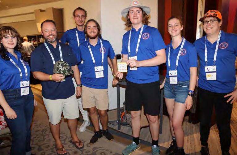
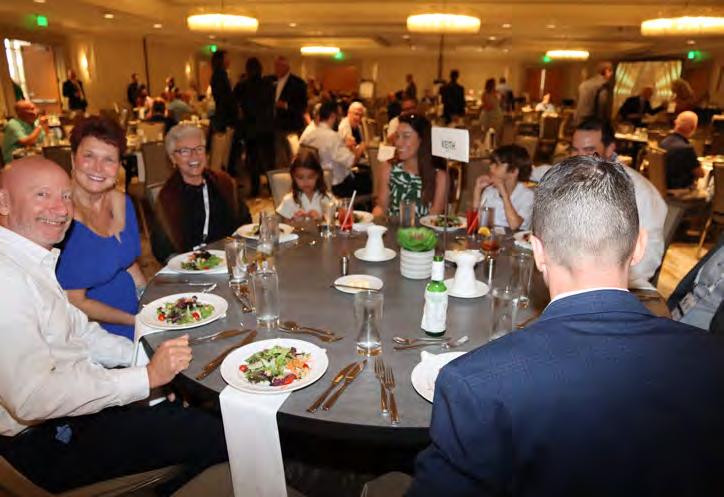
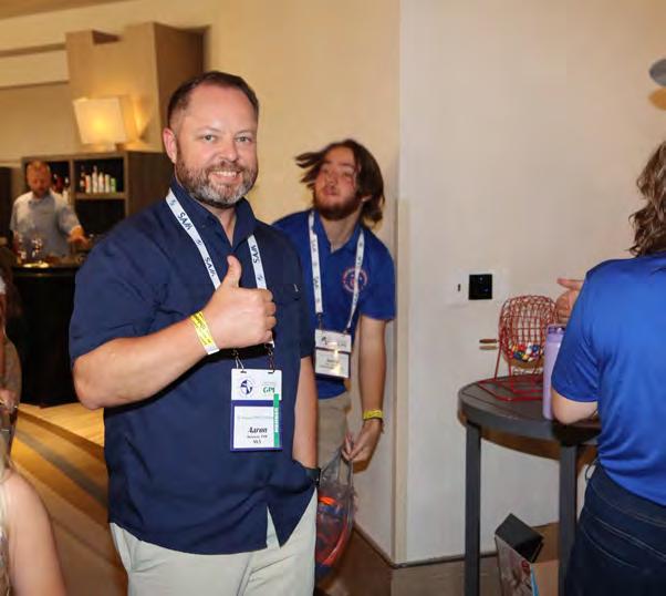
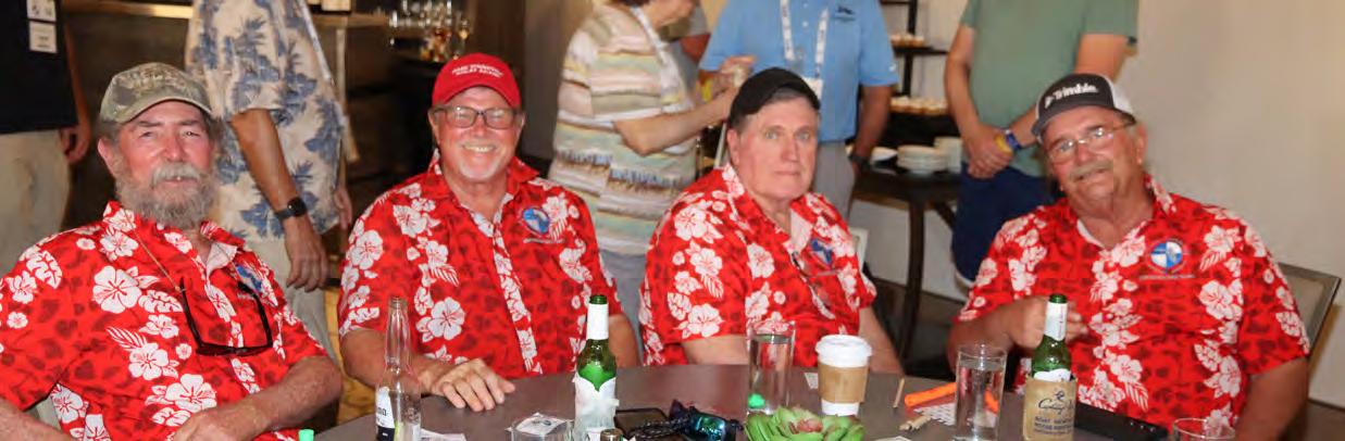
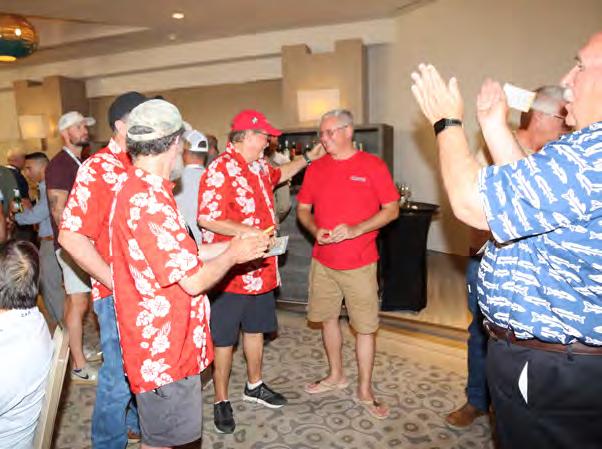
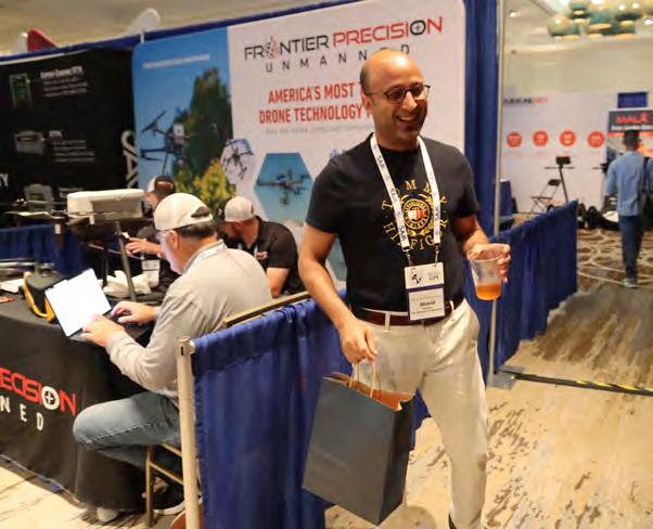
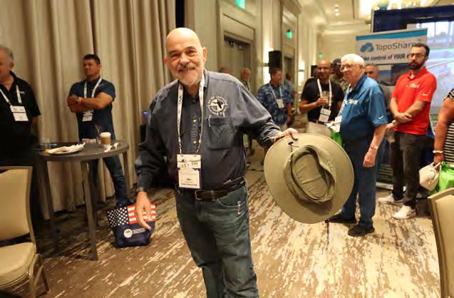
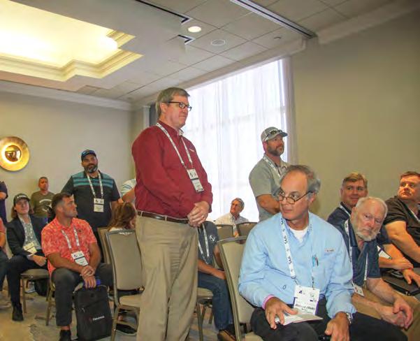
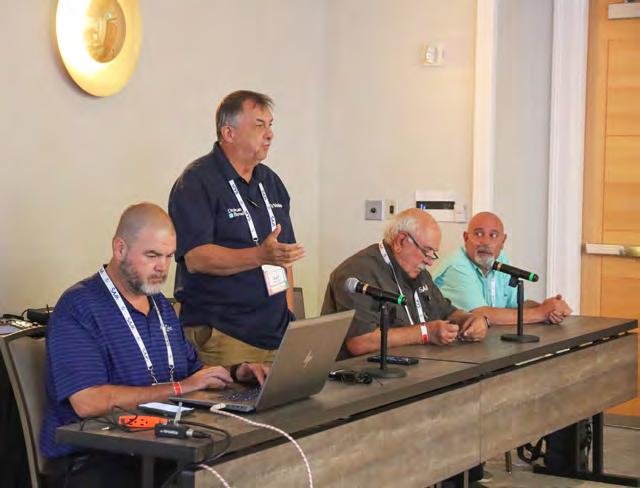
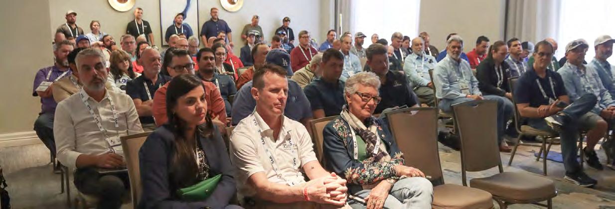
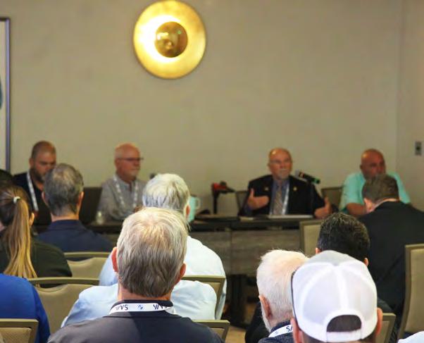
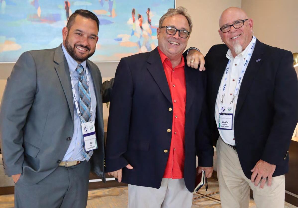
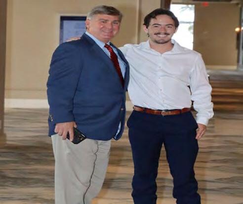
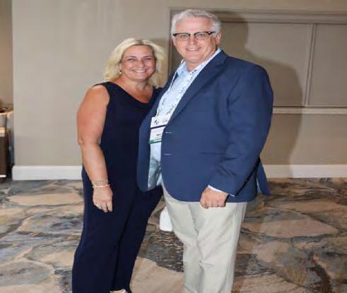
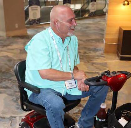
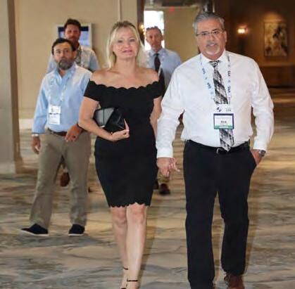
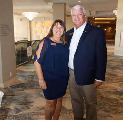
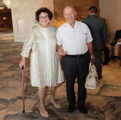
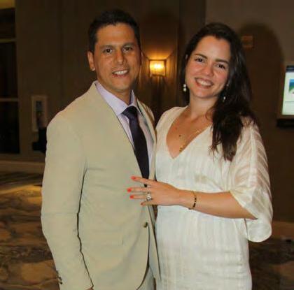
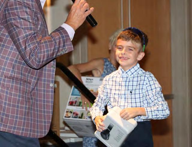
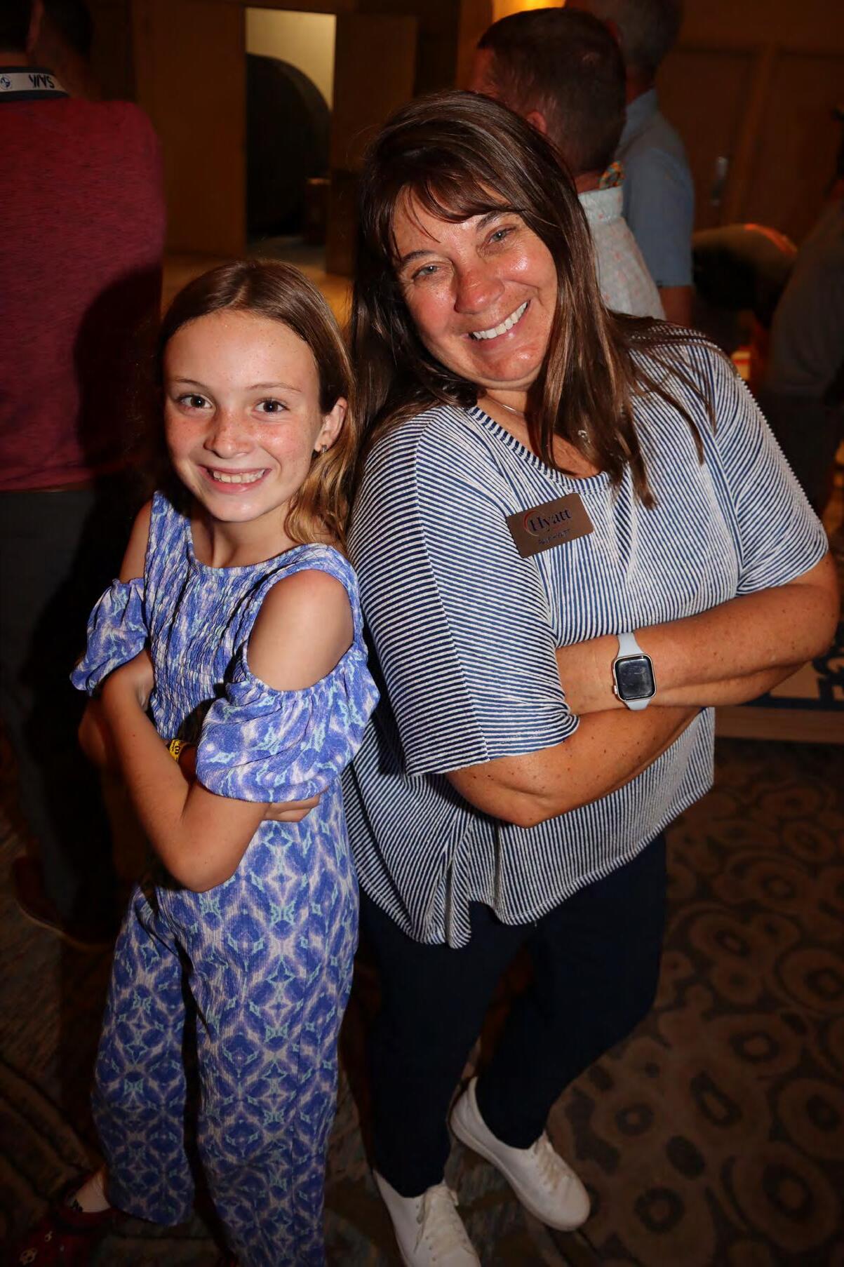
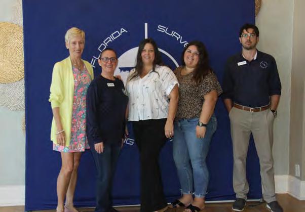
Thank you very much to Beth & Hal Peters for another year as our amazing photographers. This dynamic duo helps us to preserve our conference memories by capturing these unique moments each year.


The F lorida Surveyor is the official publication of the Florida Surveying and Mapping Society, also known as FSMS. It is published monthly for the purpose of communicating with the professional surveying community and related professions who are members of FSMS. Our award winning publication informs members eleven months out of the year about national, state, and district events and accomplishments, as well as articles relevant to the surveying profession. In addition, continuing educational courses are also available.
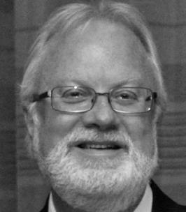
PRESIDENT’S Message
August 2025 Members,
First, I would like to extend my sincere thanks to Rick Price for his leadership over the past year. He is truly a gentleman and a scholar, and he leaves big shoes to fill.
I also want to thank you—the membership—for electing me as your president. It is a great honor, and I look forward to serving you in the coming year.
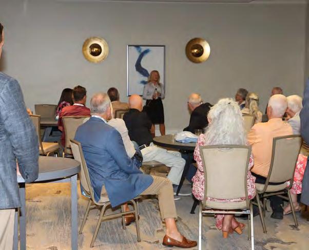
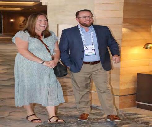
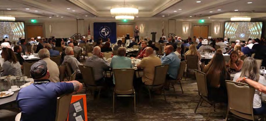
This year’s conference was one for the books! We broke our attendance record with approximately 600 participants. Several of our courses reached full capacity, and I received many positive comments about their quality. Our vendors also expressed great feedback; with 55 booths, many shared that this year’s exhibition hall was one of the best-planned yet.

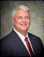
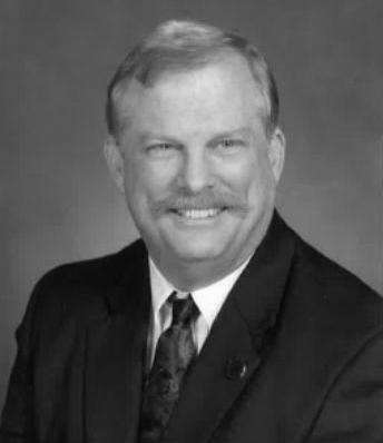
President
Robert Johnson (772) 370-0558
president.fsms@gmail.com
A special thank you and congratulations to the Annual Meeting Committee, led by Allen Nobles, along with committee members Lou Campanile, Jr., Shane Christy, Howard Ehmke, Rick Pryce, Earl Soeder, Don Stouten, and Collier-Lee chapter. Your hard work and dedication made this event a tremendous success.
We're looking forward to next year's conference! Stay tuned—we are already discussing new course offerings that promise to be outstanding.
I am proud to report that our society is in a strong position. Membership is up, and conversations with several chapter presidents indicate that participation is increasing as well. My hope is that we continue this positive trend and grow even stronger in the year ahead. On Tuesday, August 26, I will attend the Florida Geomatics Student Association
PRESIDENT’S Message
chapter meeting, and I look forward to meeting the future leaders of our profession.
Finally, I would love to hear from you, our members, on how we can make the society even better. Fresh perspectives and new ideas are always welcome. If you have suggestions, please don’t hesitate to reach out—I will respond to as many emails as I can. You can reach me at president.fsms@gmail.com . Remember, this is your society, and it should serve you.
Respectfully submitted,
Robert N. “Bob” Johnson


2025-26 Districts and
Directors
District 1 - Northwest
Bay, Calhoun, Escambia, Franklin, Gadsden, Gulf, Holmes, Jackson, Jefferson, Leon, Liberty, Madison, Okaloosa, Santa Rosa, Taylor, Wakulla, Walton, Washington
Chad Thurner (850) 200-2441 chad.thurner@sam.biz
Angela Bailey (850) 559-5039 bailey.angelak@yahoo. com
District 2 - Northeast
Alachua, Baker, Bradford, Clay, Columbia, Dixie, Duval, Gilchrist, Hamilton, Lafayette, Levy, Marion, Nassau, Putnam, Suwannee, St. Johns, Union
Pablo Ferrari (904) 219-4054 pferrari@drmp.com
Nick Digruttolo (863) 344-2330 ndigruttolo@ pickettusa.com
District 3 - East Central
Brevard, Flagler, Indian River, Lake, Okeechobee, Orange, Osceola, Seminole, Martin, St. Lucie, Volusia
Howard Ehmke (561) 360-8883 Howard@GCYinc.com
Al Quickel (352) 552-3756 alq.fsms@gmail.com
District 4 - West Central
Citrus, Hernando, Hillsborough, Pasco, Pinellas, Polk, Sumter
Scott Vannetta (352) 796-9423 ext. 1031 svannetta@coastalengineering.com
2 3 4 7 6 5
District 5 - Southwest
Stephen Shawles (239) 481-1331 sshawles@ haleyward.com
Shane Christy (941) 840-2809 schristy@georgefyoung.com
District 6 - Southeast
Broward, Palm Beach
Earl Soeder (954) 818-2610 earl.soeder@duncan-parnell.com
John Liptak (786) 547-6340 johnliptak@icloud. com
District 7 - South
Miami-Dade, Monroe
Manny Vera, Jr. (305) 221-6210 mverajr@mgvera.com
Jose Sanfiel (305) 375-2657 psm5636@gmail.com
Tim Morris (813) 506-4015 tmorris@civilsurv.com
Russell Hyatt (941) 812-6460 russell@hyattsurvey.com
Charlotte, Collier, DeSoto, Glades, Hardee, Hendry, Highlands, Lee, Manatee, Sarasota
David Lee dlee@baskervilledonovan.com
Coast
Jonathan Gibson jgibson0102@gmail.com
Chipola
Jesse Snelgrove jsnelgrove@ snelgrovesurveying.com
FL
Jeremiah Slaymaker jslay@wginc.com
2025-26 Chapter Presidents
Brandon
brndrbbns@netscape.net
David Smith dsmith@CFB-inc.com
austinrupert@ufl.edu


202 5 S u S taining

A
AA Surface Pro, Inc.
239-471-2668
Accuracy Datum
863-599-8688
Accuright Surveys of Orlando
407-894-6314
A. D. Platt & Associates, Inc.
850-329-5551
Adventure Coast Orthomosaic & Mapping Solutions, LLC (ACOMS)
352-777-4077
AIM Engineering & Surveying
239-332-4569
Allen & Company, LLC
407-654-5355
Allen Engineering
321-783-7443
American Government Services Corporation
813-933-3322
American Surveying, Inc. 813-234-0103
Amerritt, Inc. 813-221-5200
AOI (Area of Interest) Solutions, Inc. 321-877-0056
Arc Surveying & Mapping, Inc. 904-384-8377
Ardurra 239-292-7773
Associated Land Surveying & Mapping, Inc. 407-869-5002
ATWELL, LLC 866-850-4200
Avirom & Associates, Inc. 561-392-2594
B
Barnes, Ferland and Associates, Inc. 407-896-8608
Barraco & Associates, Inc.
239-461-3170
Bartram Trail Surveying, Inc. 904-284-2224
BBLS Surveyors, Inc. 239-597-1315
Bello & Bello Land Surveying Corporation 305-251-9606
Bennett-Panfil, Inc. 941-497-1290
Berntsen International 608-443-2772
BGE, Inc. 561-485-0824
Boatwright Land Surveyors, Inc. 904-241-8550
Bock & Clark Corporation(NV5) 330-665-4821
Bowman Consulting Group 703-454-1000
Braden Land Surveying 727-224-8758
Bradshaw-Niles & Associates, Inc. 904-829-2591
Brown & Phillips, Inc. 561-615-3988
BSE Consultants, Inc. 321-725-3674
Buchanan & Harper, Inc. 850-763-7427
F irm S Directory
C
Calvin, Giordano & Associates, Inc.
954-921-7781
Campanile & Associates, Inc.
954-980-8888
Carnahan, Proctor & Cross, Inc.
407-960-5980
Carter Associates, Inc.
772-562-4191
Caulfield & Wheeler
561-392-1991
Chastain-Skillman, Inc.
863-646-1402
CivilSurv Design Group, Inc.
863-646-4771
Clary & Associates, Inc.
904-260-2703

Clements Surveying, Inc.
941-729-6690
Clymer Farner Barley Surveying, LLC
352-748-3126
Coastal Engineering Associates, Inc.
352-796-9423
Colliers Engineering & Design
732-383-1950
Control Point Associates, Inc.
954-763-7611
Cousins Surveyors & Associates, Inc.
954-689-7766
CPH Consulting, LLC 407-322-6841
Craven-Thompson & Associates, Inc. 954-739-6400
Culpepper & Terpening, Inc.
772-464-3537
DDeGrove Surveyors, Inc. 904-722-0400
Dennis J. Leavy & Associates
561-753-0650
Dewberry 407-843-5120
Donald W. McIntosh Associates, Inc. 407-644-4068
Donoghue Construction Layout, LLC. 321-248-7979
Douglass, Leavy & Associates, Inc. 954-344-7994
DRMP, Inc. 833-811-3767
DSW Surveying & Mapping, PLC. 352-735-3796
Duncan-Parnell, Inc.
800-849-7708
Durden Surveying and Mapping, Inc. 904-853-6822 E
ECHO UES, Inc.
888-778-3246
Eda Consultants, Inc.
352-373-3541
Eiland & Associates, Inc. 904-272-1000
Element Engineering Group, LLC. 813-386-2101
Engenuity Group, Inc.
561-655-1151
202 5 S u S taining
ER Brownell & Associates, Inc.
305-860-3866
ETM Suryeying & Mapping
904-642-8550
Exacta Land Surveyors, Inc.
866-735-1916 F
Ferguson Land Surveyors
727-230-9606
First Choice Surveying, Inc.
407-951-3425
Florabama Geospatial Solutions LLC
850-480-7467
Florida Design Consultants, Inc.
727-849-7588
Florida Engineering & Surveying, LLC.
941-485-3100
FLT Geosystems
954-763-5300
Ford, Armenteros & Fernandez, Inc.
305-477-6472
Fortin, Leavey, Skiles, Inc. 305-653-4493
Frontier Precision Unmanned 701-222-2030
F.R.S. & Associates, Inc.
561-478-7178
G
GCY, Inc.
772-286-8083
GeoData Consultants, Inc 407-732-6965
Geoline Surveying 386-418-0500
Geo Networking, Inc. 407-549-5075
GeoPoint Surveying, Inc. 813-248-8888
George F. Young 727-822-4317
Germaine Surveying, Inc. 863-385-6856
GISurv, LLC 954-651-5942
GPI Geospatial, Inc. 407-851-7880
Gustin, Cothern & Tucker, Inc. 850-678-5141
H
Haley Ward 207-989-4824
Hanson Professional Services, Inc. 217-788-2450
Hanson, Walter & Associates, Inc. 407-847-9433
H.L. Bennett & Associates, Inc. 863-675-8882
HUB International 850-386-1111
Hyatt Survey Services 941-748-4693 I
Ibarra Land Surveyors
305-262-0400
I.F. Rooks & Associates, LLC. 813-752-2113
J JAVAD 408-770-1770
Johnston's Surveying, Inc. 407-847-2179
F irm S Directory
KCI Technologies
954-776-1616
Keith and Associates, Inc.
954-788-3400
Kendrick Land Surveying, LLC
863-533-4874
KPMFranklin (407) 410-8624
L
Landmark Engineering & Surveying Corporation
813-621-7841
Land Precision Corporation
727-796-2737
L&S
Diversified, LLC.
407-681-3836
Langan Engineering and Environmental Services, Inc. 973-560-4900
Leading Edge Land Services, Inc. 407-351-6730
Leiter Perez & Associates, Inc.
305-652-5133
Lengemann Corp. 800-342-9238
Locklin Surveying & Mapping LLC 407-402-8897
Longitude Surveyors, LLC
305-463-0912
Long Surveying, Inc. 407-330-9717
Lynx Surveyors & Engineering 833-721-2907
M
Manuel G. Vera & Associates, Inc. 305-221-6210
Maptech, Inc. 601-664-1666
Massey-Richards Surveying & Mapping, LLC. 305-853-0066
Masteller, Moler & Taylor, Inc. 772-564-8050
McKim & Creed, Inc. 919-233-8091
Metron Surveying and Mapping, LLC. 239-275-8575
Mock Roos & Associates, Inc. 561-683-3113
Moore Bass Consulting, Inc. 850-222-5678
Morris-Depew Associates, Inc. 239-337-3993 Murphy’s Land Surveying 727-347-8740 N Navigation Electronics, Inc. 337-237-1413
Northwest Surveying, Inc. 813-889-9236
O
On The Mark Surveying, LLC. 321-626-6376
PEC Surveying & Mapping
407-542-4967
Pennoni Associates, Inc.
863-594-2007
Perret and Associates, Inc
904-805-0030
Pickett & Associates, Inc.
863-533-9095
Plan Right Surveying, Inc.
239-276-2861
Platinum Surveying & Mapping, LLC.
863-904-4699
Polaris Associates, Inc.
727-461-6113
Porter Geographical Positioning & Surveying, Inc.
863-853-1496
Southeast Geospatial 877-653-6544
Stoner Inc. 954-585-0997
Suarez Surveying & Mapping, Inc. 305-596-1799
Survey Data Solutions, LLC 352-816-4084
Survey Pros, Inc. 305-767-6802
SurvTech Solutions, Inc. 813-621-4929 T
T2 UES Inc. 407-587-0603
F irm S Directory
Thurman Roddenberry & Associates
850-962-2538
TopoDOT
407-248-0160
TranSystems Corporation Consultants
727-822-4151
UF/IFAS
352-846-0850
Upham, Inc.
386-672-9515
Wade Surveying, Inc.
352-753-6511
Wantman
561-687-2220

SOCIAL MEDIA LINKS
LinkedIn = 2,204 Followers
Facebook = 1.1K Followers
X = 390 Followers
Instagram = 485 Followers
YouTube = 60 Subscribers • 23 Videos


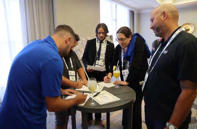
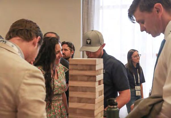
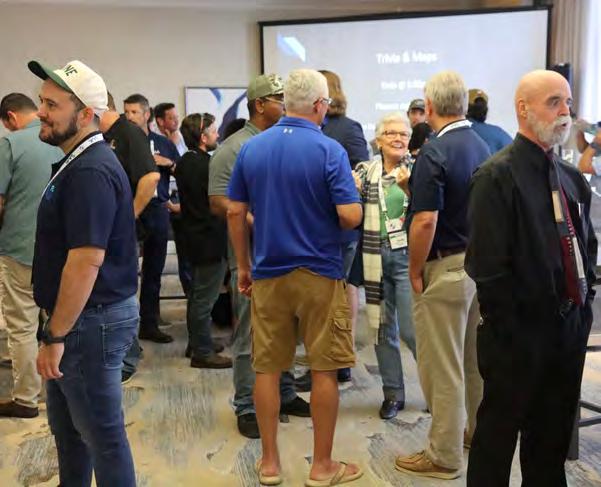
Conference
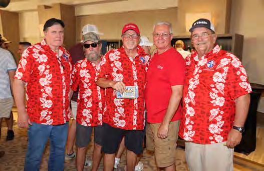
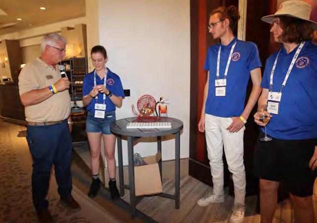
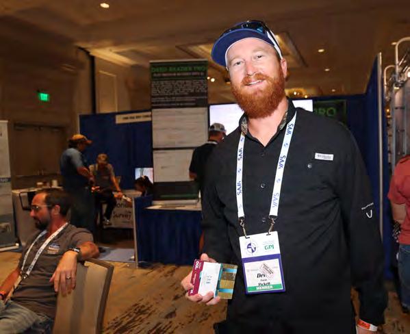
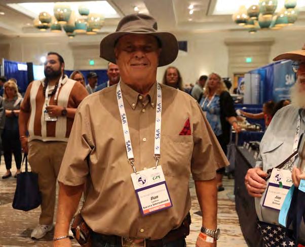
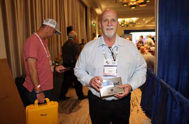
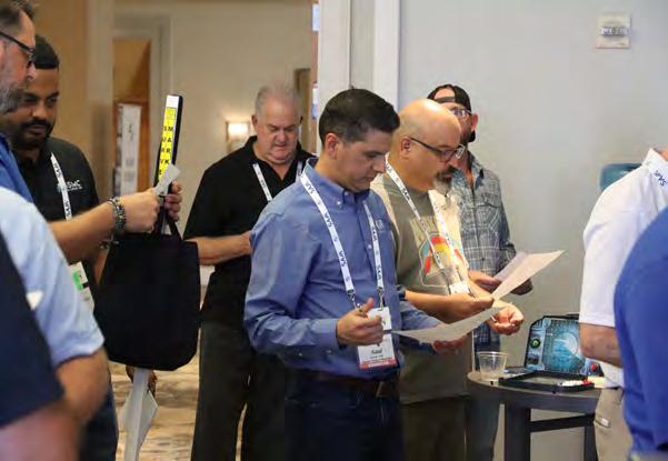
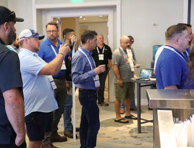
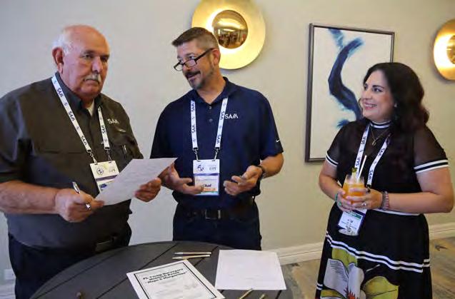
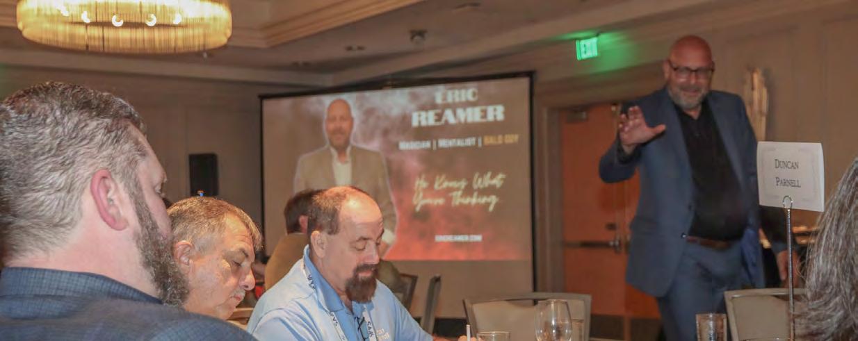
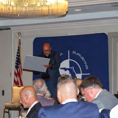
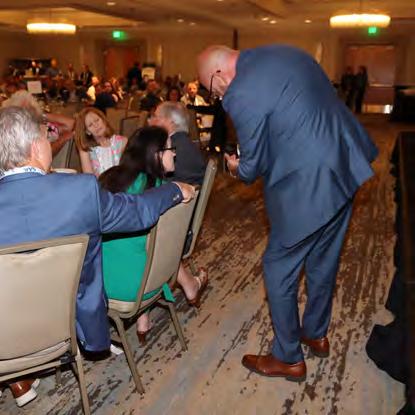
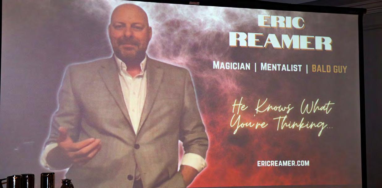
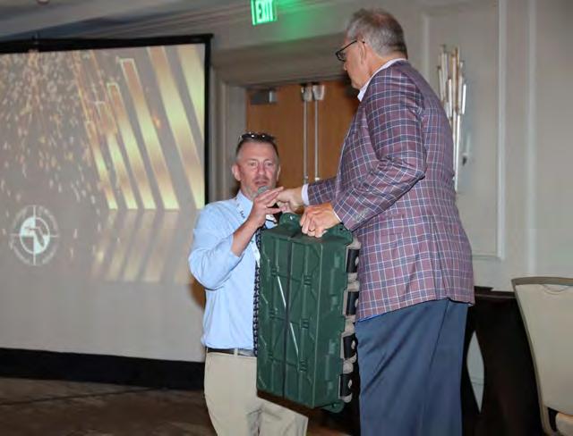
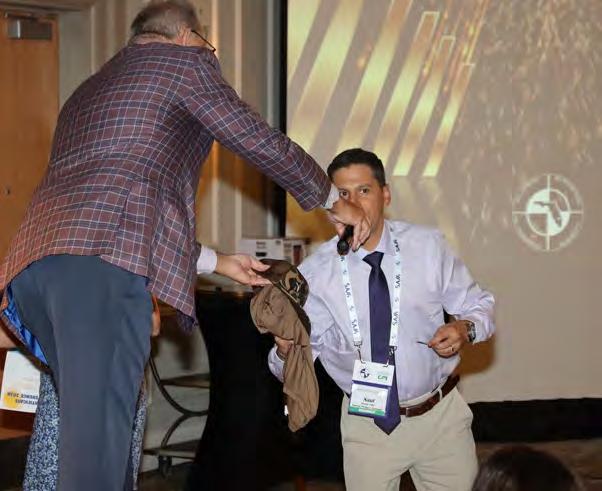
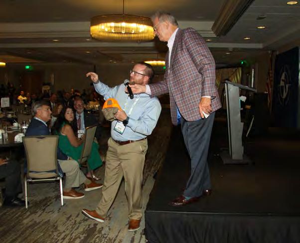
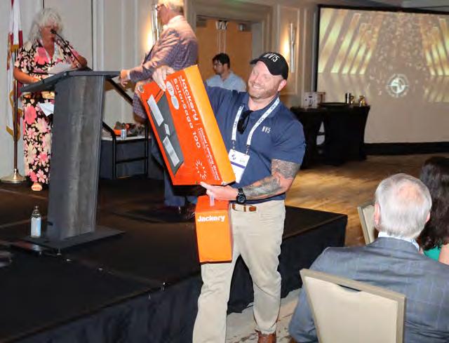
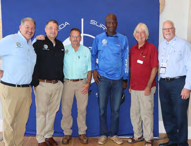
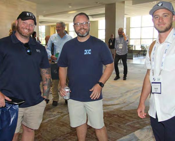
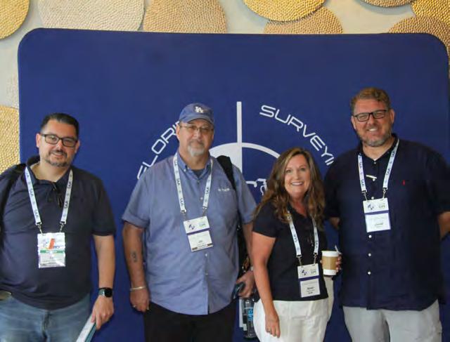
Annual Conference Recap


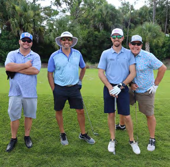
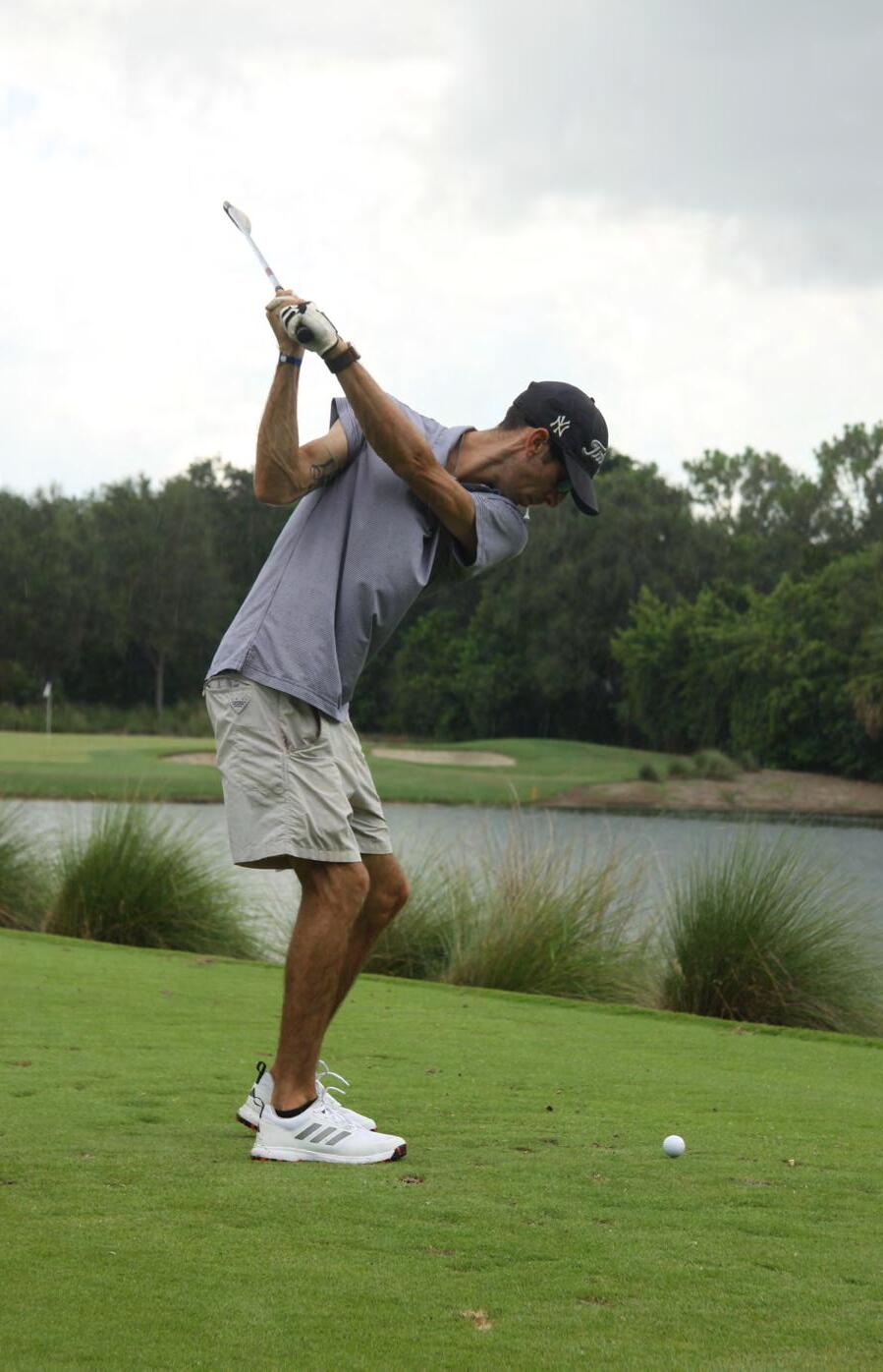
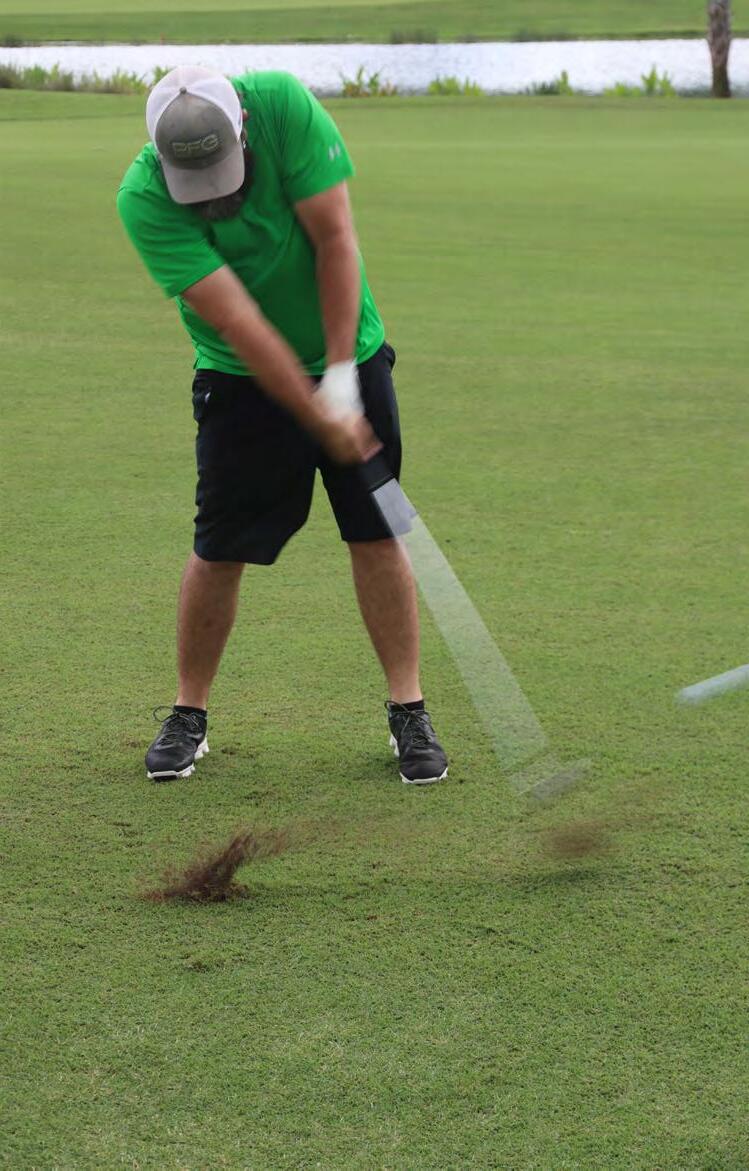
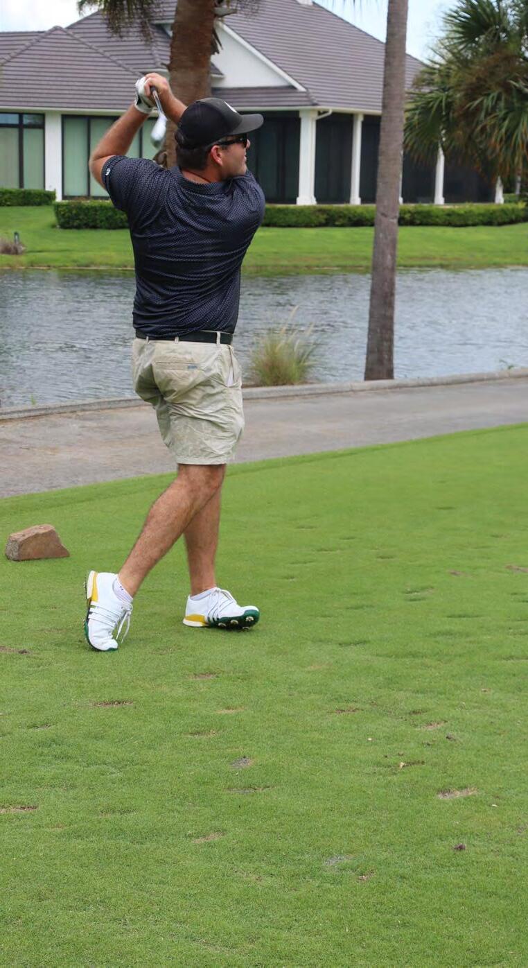
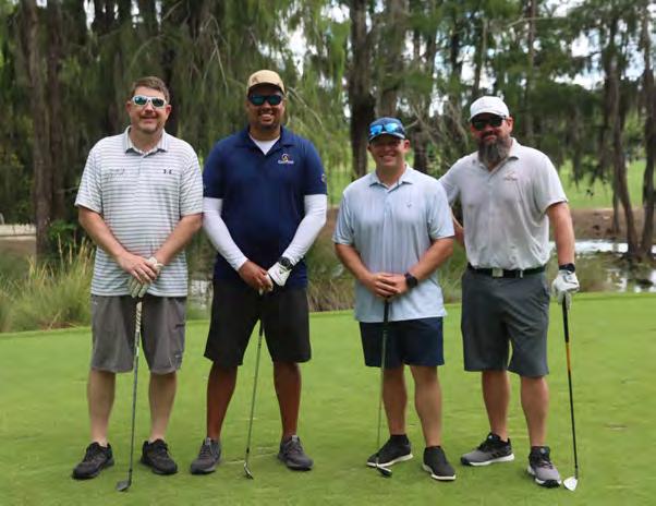
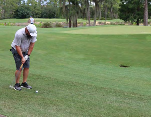
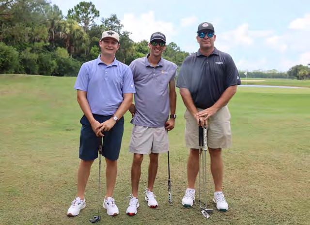
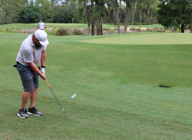
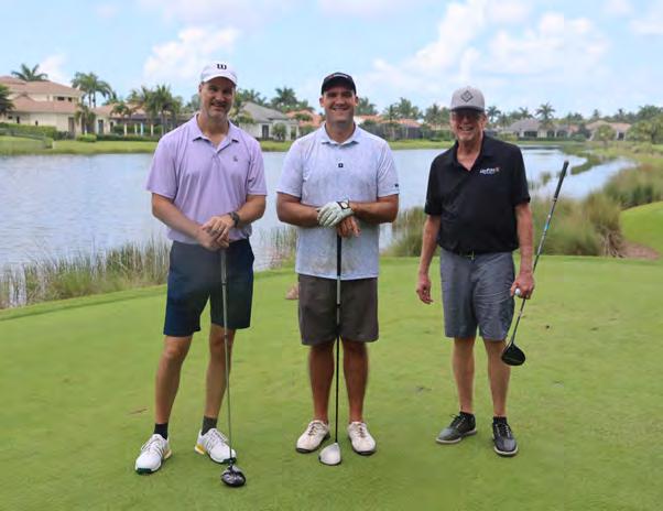
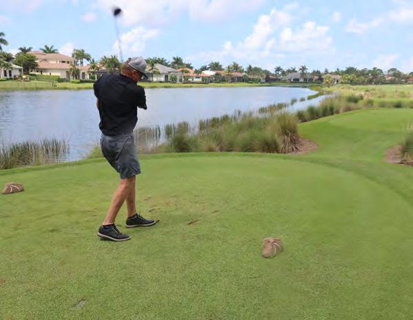
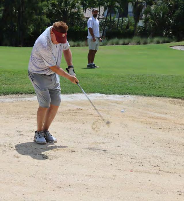
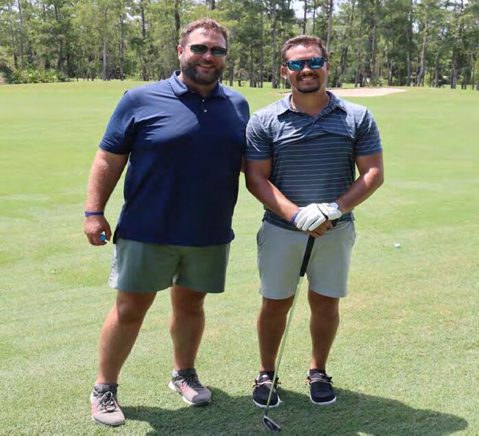
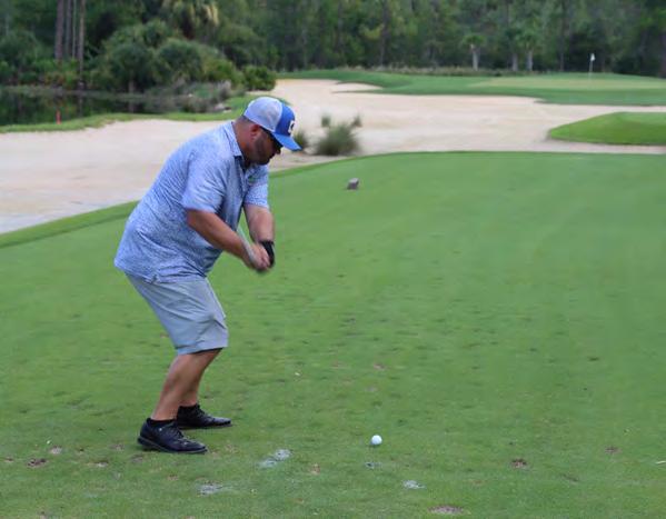
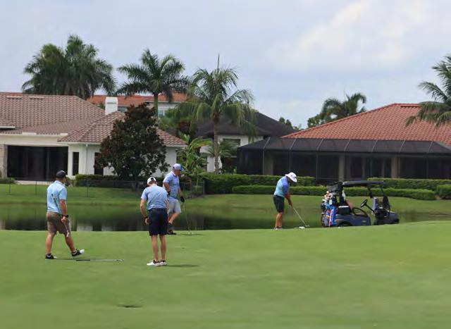
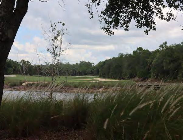
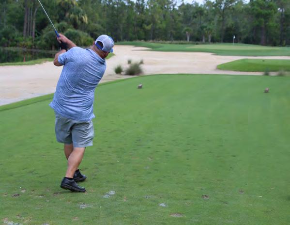
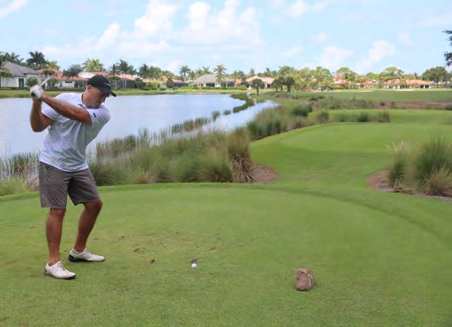
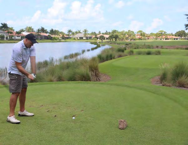
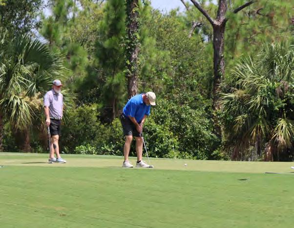
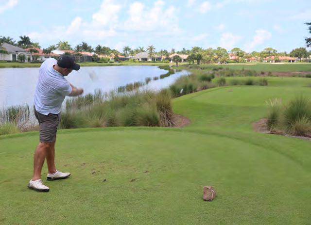
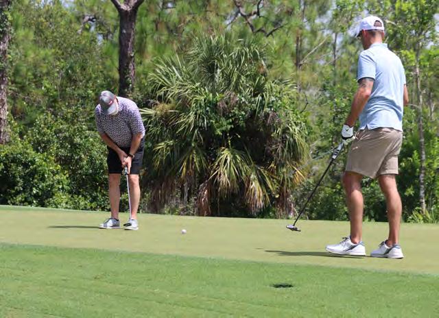
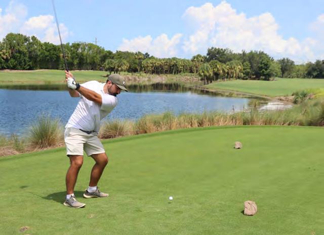
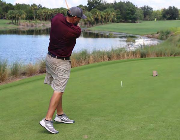
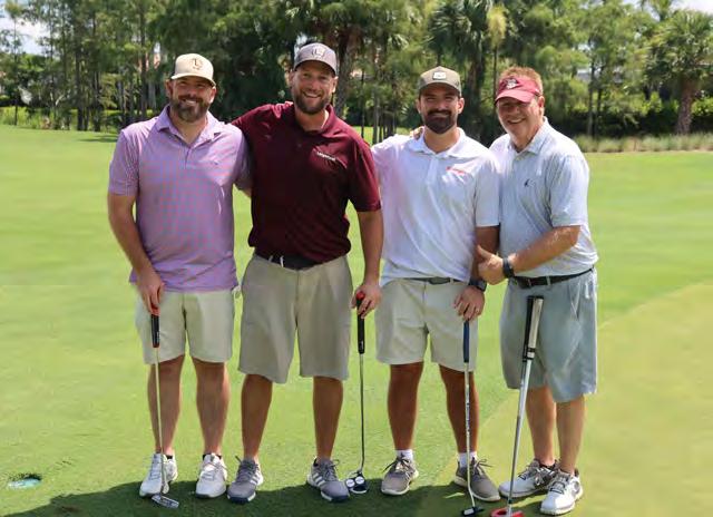
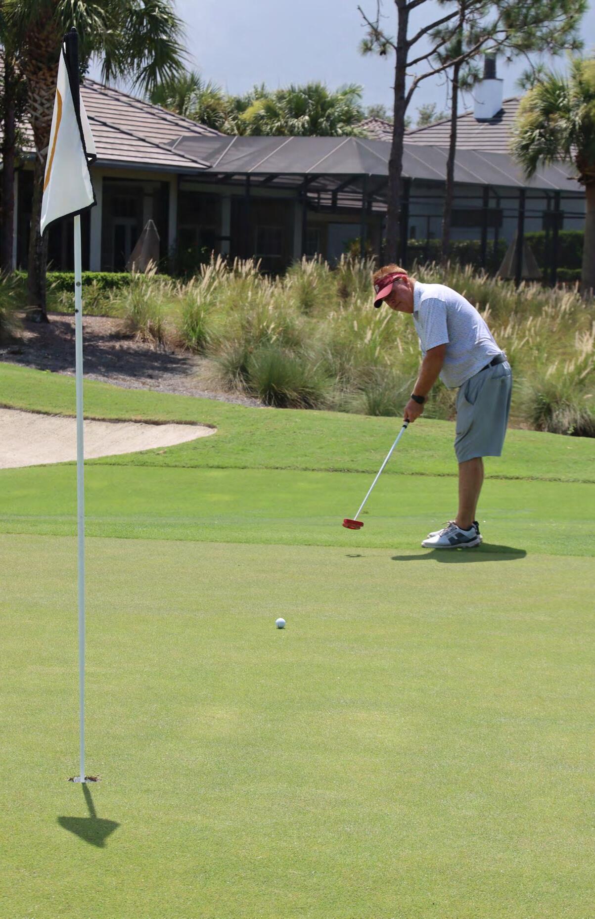
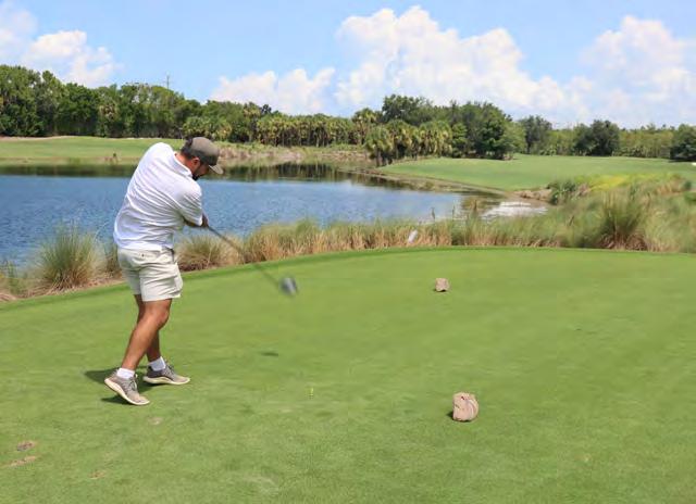
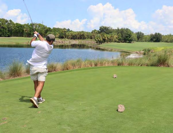
GOLF TOURNAMENT
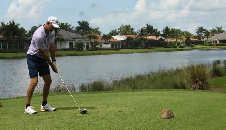


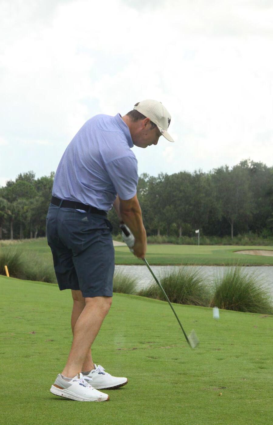


(at Tiburon Golf Club)
Sponsored By:


GOLF TOURNAMENT


(at Tiburon Golf Club)


GOLF TOURNAMENT

(at Tiburon Golf Club)


GOLF TOURNAMENT


(at Tiburon Golf Club)


GOLF TOURNAMENT


(at Tiburon Golf Club)

WELCOME BARBEQUE

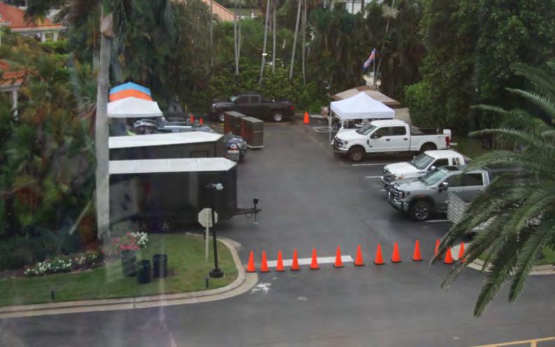


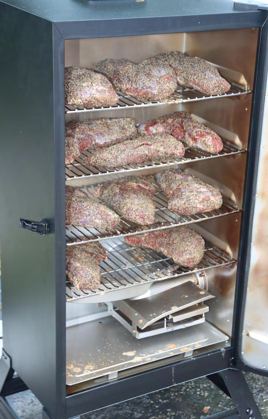
BARBEQUE Sponsored
By:


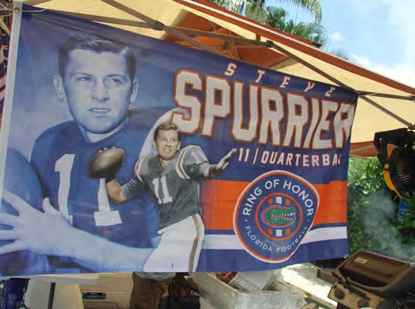


WELCOME BARBEQUE


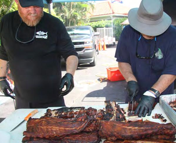

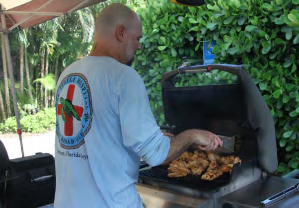
BARBEQUE


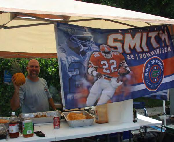
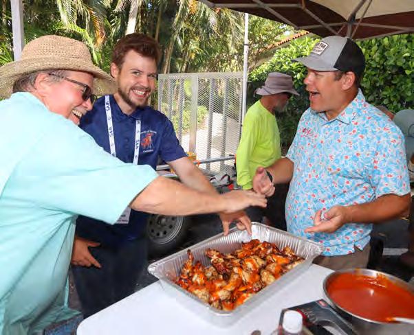
WELCOME BARBEQUE


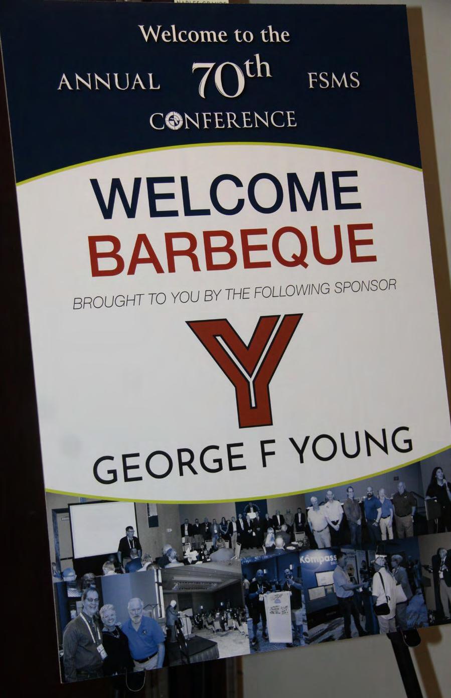

BARBEQUE


WELCOME BARBEQUE


BARBEQUE


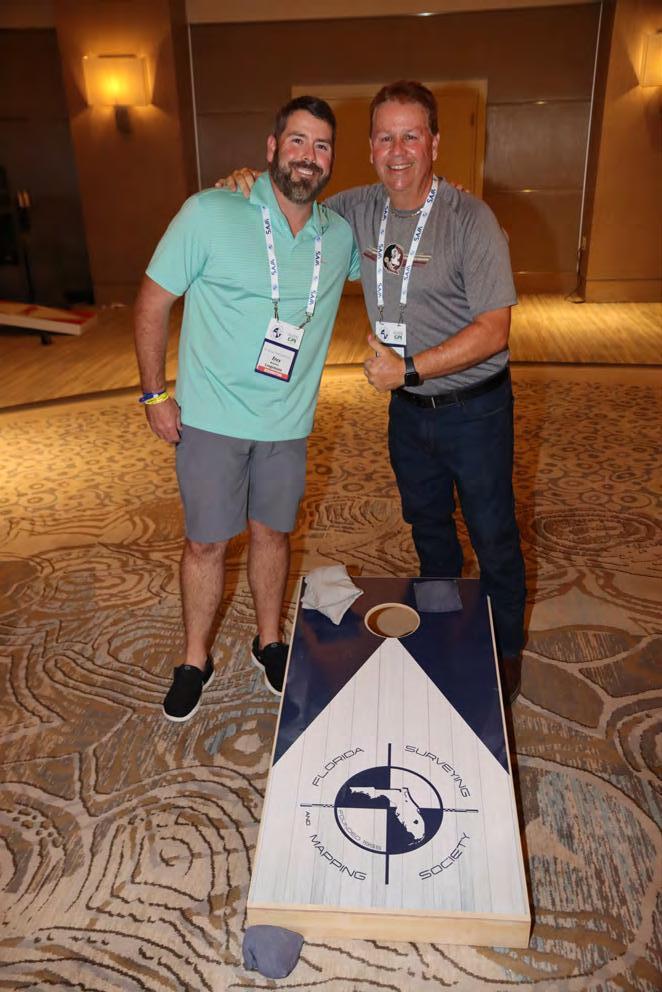
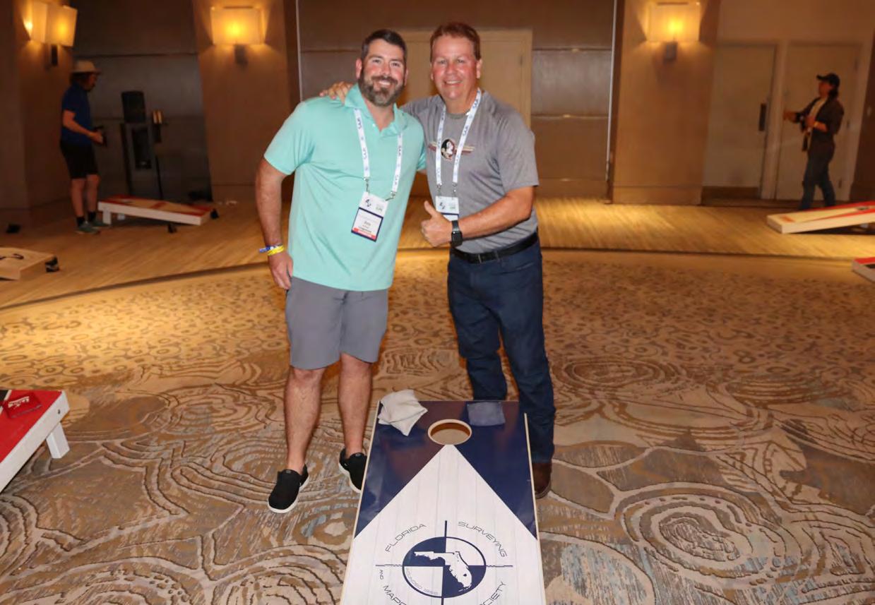
CORNHOLE TOURNAMENT
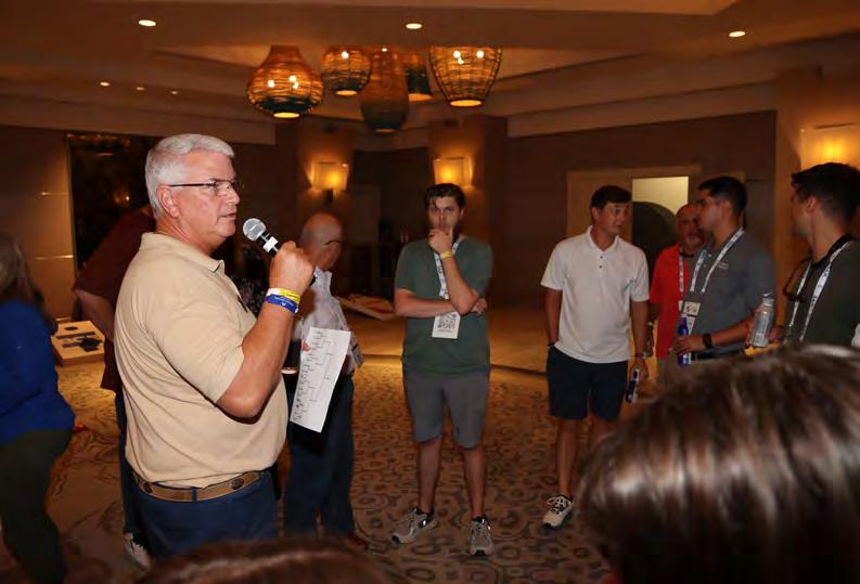
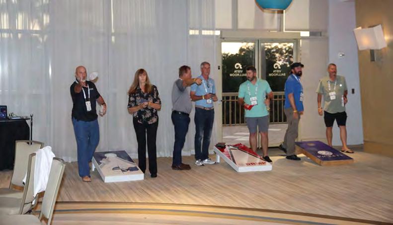

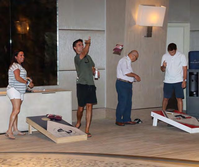
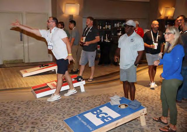


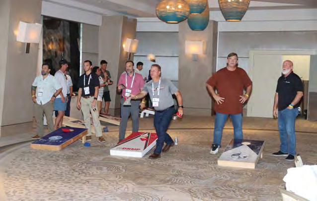
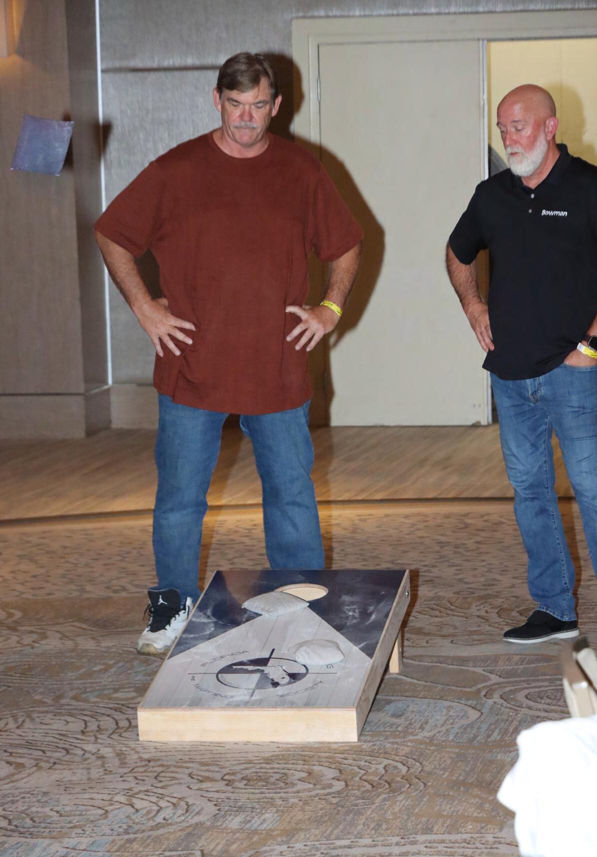
CORNHOLE TOURNAMENT
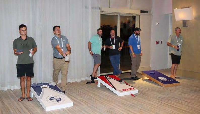

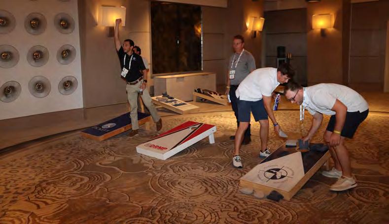
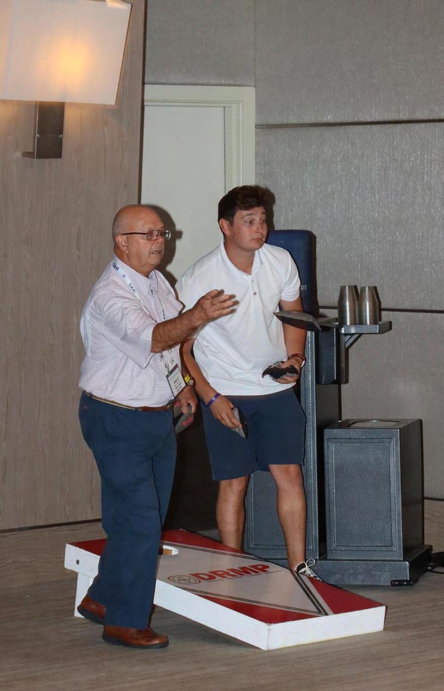

TOURNAMENT
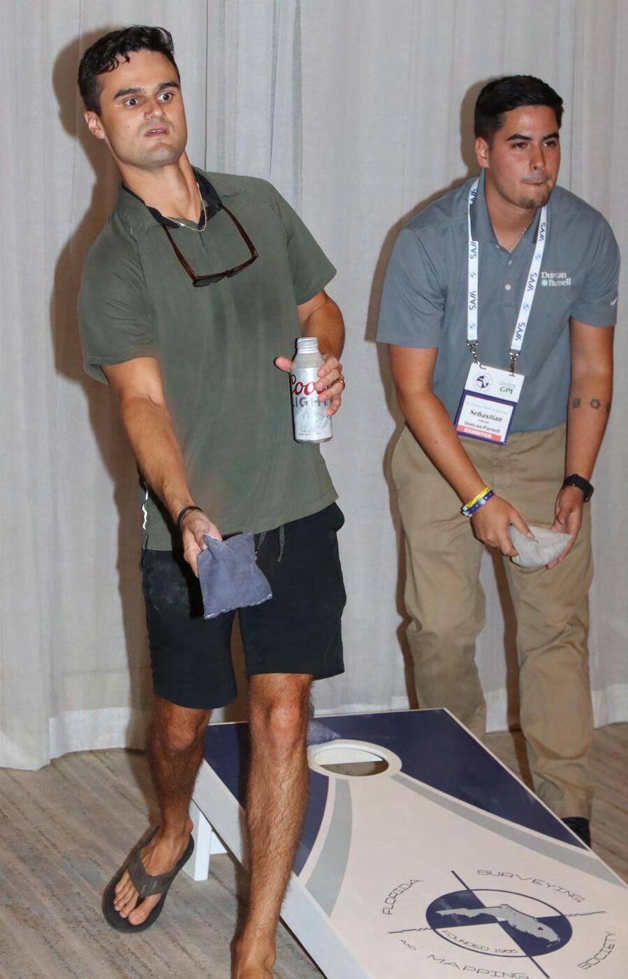

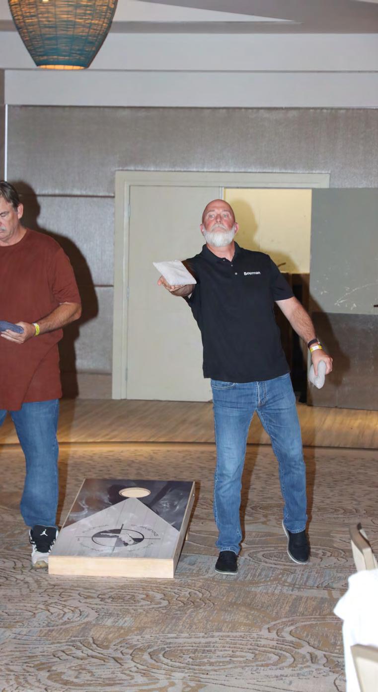
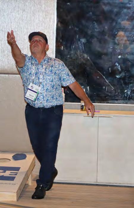

CORNHOLE TOURNAMENT
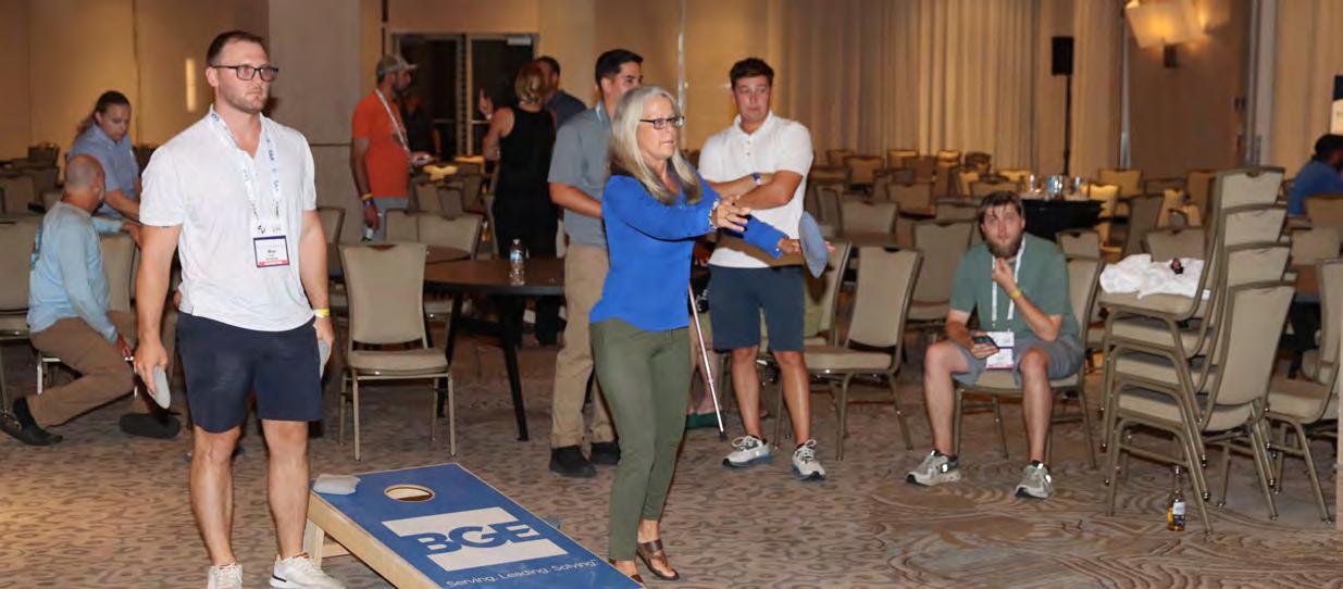
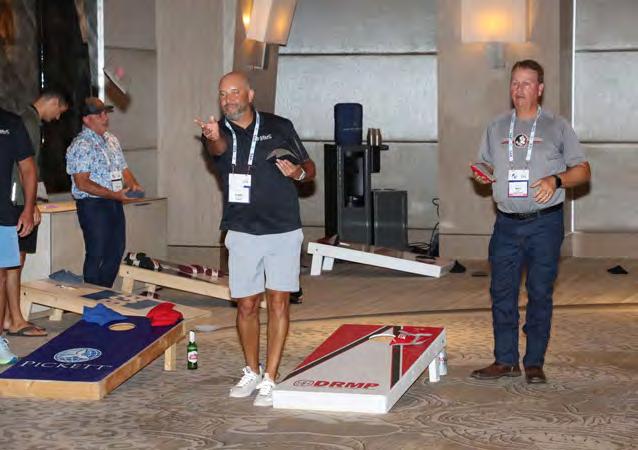

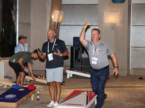
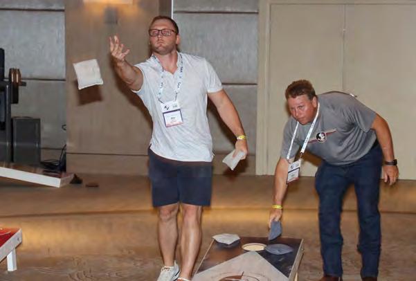
TOURNAMENT


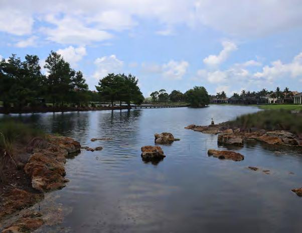
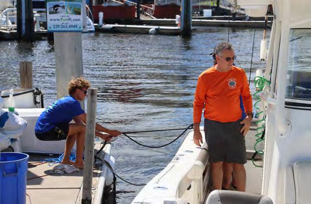
FISHING TRIP (out of Tin
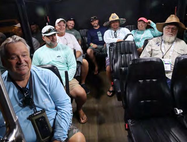
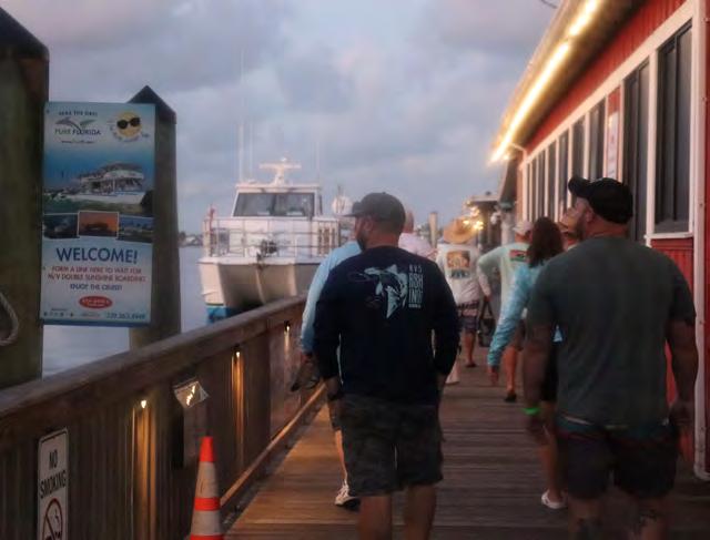


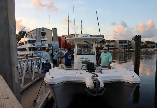
Tin City Marina into Naples Bay)


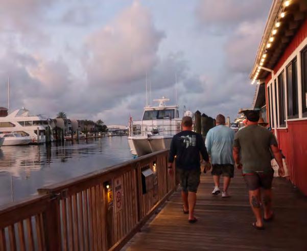


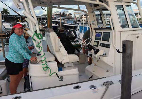
FISHING TRIP (out of Tin
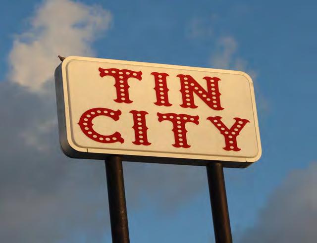

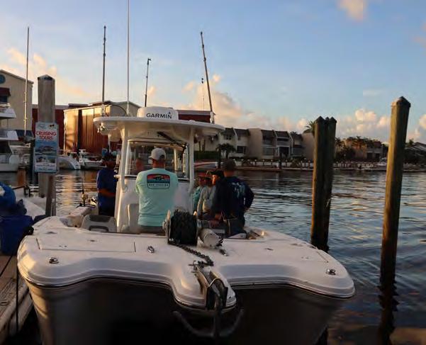
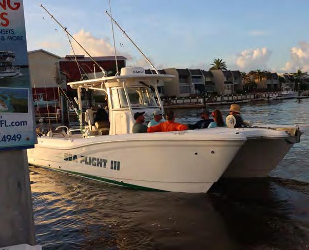


Tin City Marina into Naples Bay)


FISHING TRIP (out of Tin
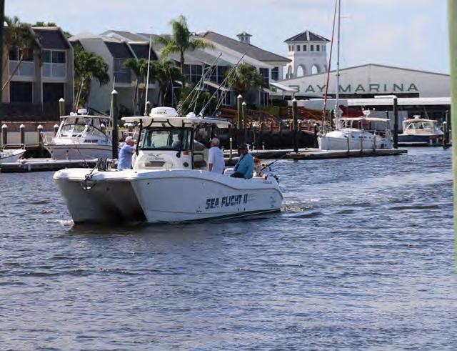
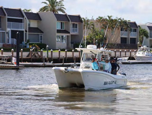
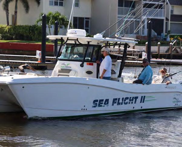

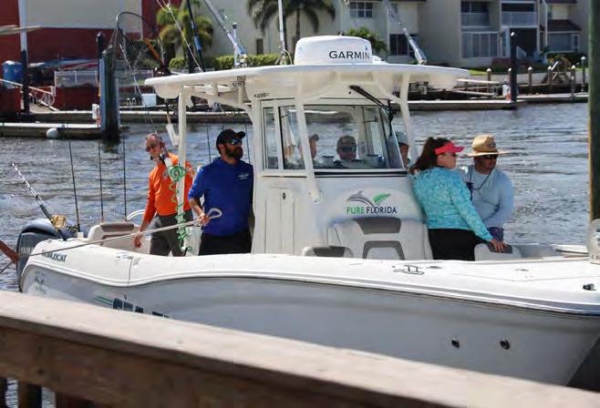

Tin City Marina into Naples Bay)


LOCATIONS IN

SERVICES
•Engineering
•Surveying
•Environmental
•BIM
•Planning
•Interior Design
•Architecture


Mapping Your Success
Build Smarter Survey Teams
Actalent is a global leader in engineering and sciences services and talent solutions. With local roots in Florida and a proven track record in the architecture, engineering and construction sector, we offer comprehensive surveying services, ranging from civil and construction surveying to land development. Our global scale and flexible contract talent model ensures you get the right experts — when you need them. We tailor solutions to meet the unique demands of the surveying industry, helping our clients meet project deadlines, reduce overhead, and access specialized talent that aligns with their operational goals. We handle the sourcing, onboarding, and performance management, so you can focus on delivering results.
Learn more about how we advance surveying careers and complex projects at actalentservices.com
Innovative Geospatial Solutions Utilizing Advanced Technologies
We provide precision mapping and surveying services for design, planning, and construction projects utilizing advanced aerial, mobile, static lidar sensors, and metric cameras.

Learn more about what we do by scanning this QR code with your device’s camera:
Geomatics | Lidar | Photogrammetry
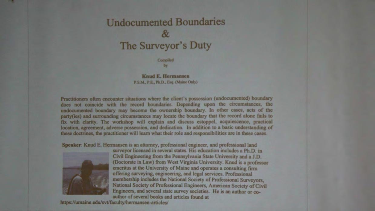

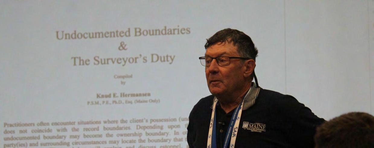
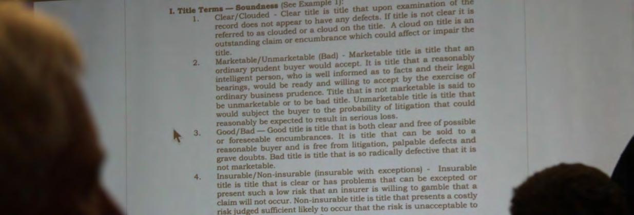
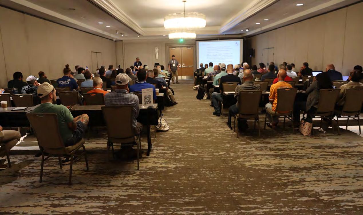
(Undocumented Boundaries & the Surveyor's Duty)


(Surveying and Mapping with UAS)
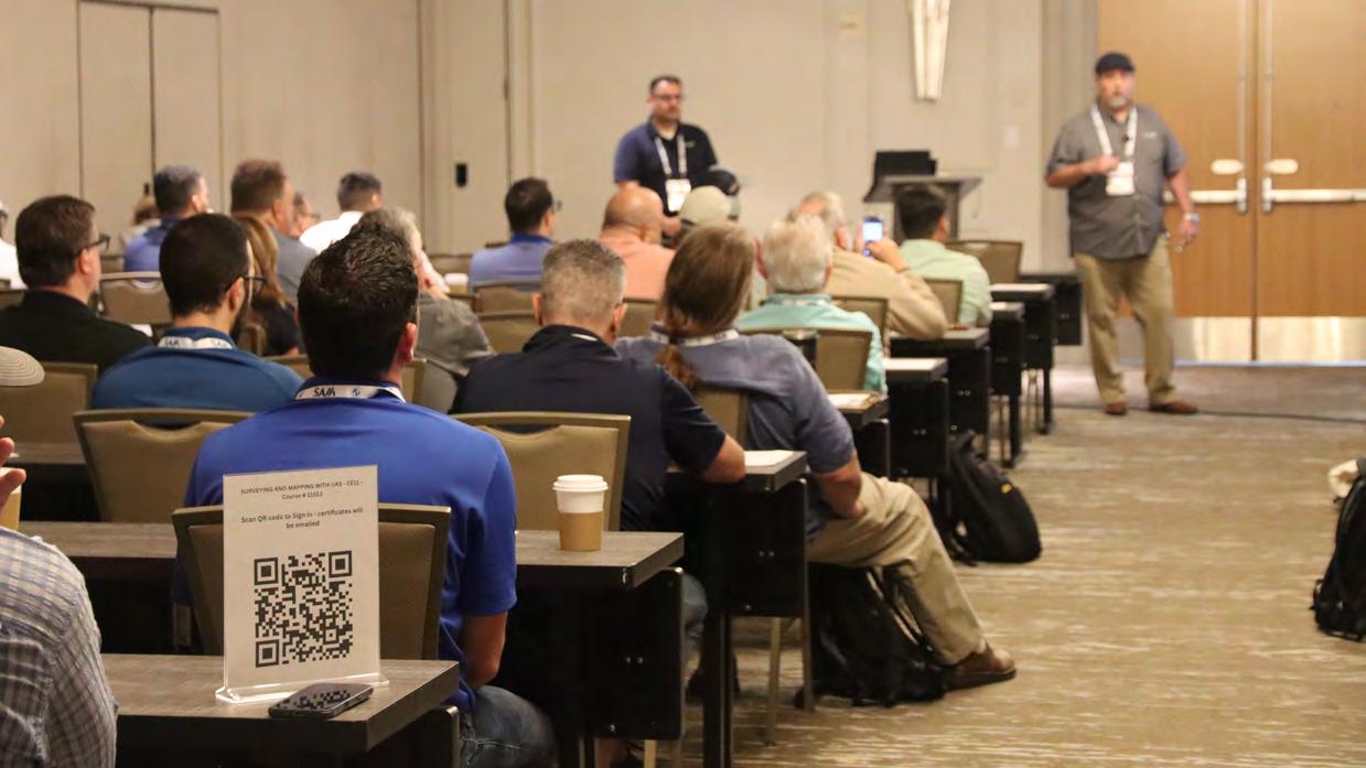
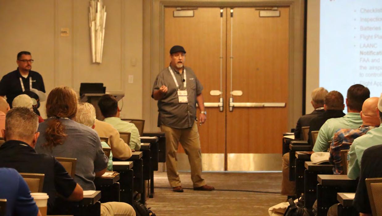


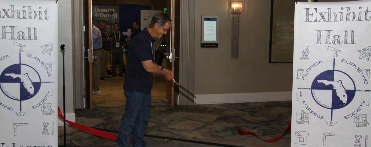
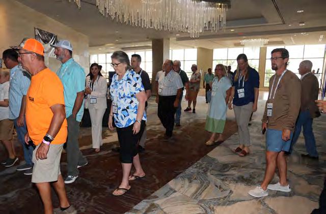
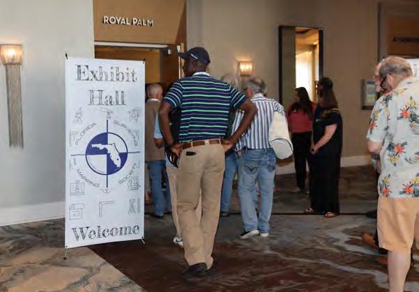
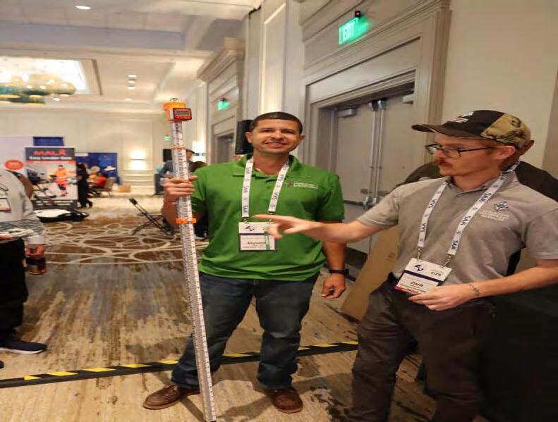
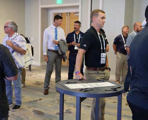
EXHIBIT HALL GRAND OPENING

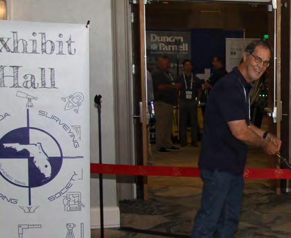


OPENING / RIBBON CUTTING

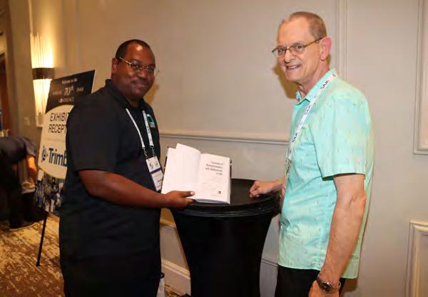
EXHIBITOR RECEPTION


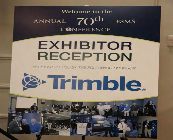

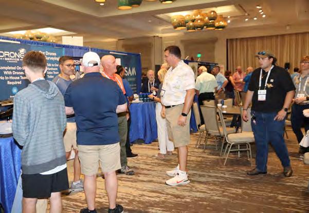
EXHIBITORS
PLATINUM
Duncan-Parnell
Duncan-Parnell is an Authorized Trimble Dealer for land survey, mapping/GIS, and construction instruments — and has been the leading provider of survey & mapping solutions in Florida for over 25 years. Our product offerings include GNSS receivers, drones/UAVs solutions, robotic and manual total stations, software for workflow integration, digital and automatic levels, 3D laser scanners, mobile mapping and monitoring solutions, construction lasers, as well as a full range of field supplies and accessories. Duncan-Parnell is your full field-to-finish provider. Our Geospatial team has decades of industry experience, certified service centers, and experienced trainers on staff. We’re ready to be a trusted partner and assist with your sales, rental, or maintenance needs. Contact us today!


EXHIBITORS GOLD
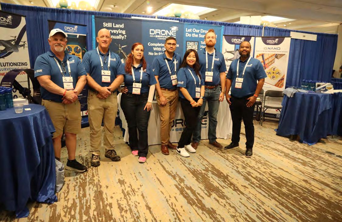
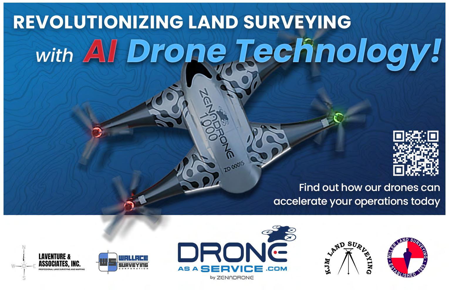
Drone As A Service
Drone as a Service or DaaS makes it easy for businesses to benefit from the speed, precision, and rich data of AI drones for a host of business applications. Similar to Software as a Service (SaaS), we offer drone technology solutions on a subscription or pay-per-use basis with no need to purchase specialized hardware or software, find a drone pilot, or manage maintenance and regulatory permits. Business and government customers can conveniently utilize drones scaled to their needs for land surveying, inspections, security, maintenance of powerlines or wind turbines, inventory management, precision agriculture and more powered by ZenaDrone’s multifunction AI drones.


EXHIBITORS GOLD
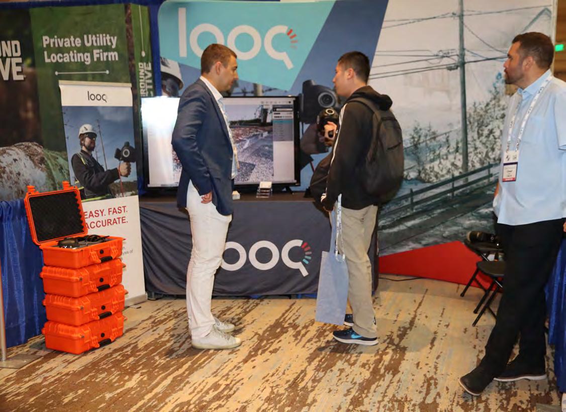
loo q
Looq AI is a high-growth technology platform company dedicated to advancing critical infrastructure digitization and diagnosis. The company has developed a fundamental new camera technology that makes survey-grade 3D capture cost-effective at scale. The Looq Platform is hand-held capture from the ground—a one-stop for creation, visualization, analysis, collaboration, and integration to digitize the built-world. Users work more efficiently and get accurate results for topographic mapping and modeling of transmission & distribution assets

EXHIBITORS GOLD
TopoDOT
TopoDOT is a point cloud processing software application offering a comprehensive feature extraction tool suite with the right balance between automation and quality assurance. TopoDOT offers a well-documented process to extract Digital Twin deliverables such as topographies, assets, 3D models, measurements, analyses, and reports meeting the highest quality-controlled standards. Our TopoShare product provides a comprehensive process to organize, store and share your data across operations at the lowest possible cost. TopoDOT LLC is headquartered in Winter Garden, Florida.


EXHIBITORS
SILVER
American Government Services Corporation
American Government Services (AGS) is a full-service title company that specializes in providing real estate services to government agencies. AGS has been providing title and closing services in the State of Florida since 1979. American Government Services is a 100% women-owned business, certified as a DBE/MBE firm with the State of Florida and registered as a real estate broker corporation with the Florida Department of Business and Professional Regulation. AGS hopes to meet and exceed all of your Title service needs.

EXHIBITORS
SILVER
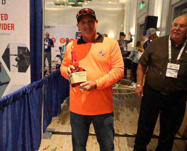
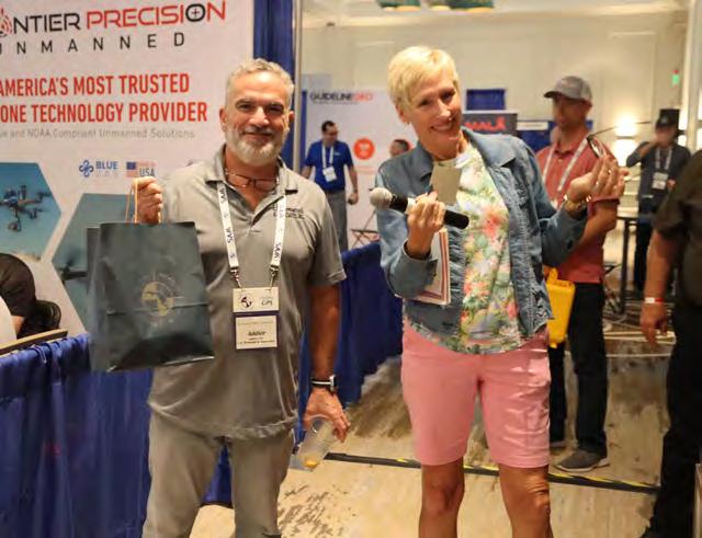
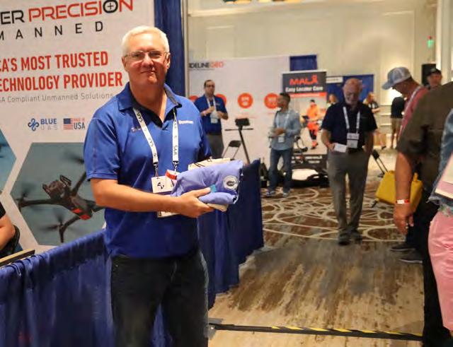
FRONTIER PRECISION UNMANNED
Frontier Precision Unmanned has the latest innovations in drone aircraft and sensors to fit your job or application. We offer industry-leading products and software from Ascent Aerosystems, Autel, Censys Technologies, DJI Enterprise/DJI Agriculture, Freefly Systems, Flybotix, Hylio, Inspired Flight, Parrot, Quantum-Systems, Skydio, Watts Innovations, YellowScan, Emesent, AgEagle, Phase One, Sentera, FLIR, Pix4D, and many others to make sure you get the right product for the right UAS application. UAS applications include geospatial surveying & mapping, agriculture, construction, energy, forestry, infrastructure, mining, mosquito & vector control, oil & gas, and public safety.

EXHIBITORS
SILVER
Navigation Electronics, Inc. (NEI)
NEI is a premier distributor of Trimble products since 1990 with an exceptional track record in leveraging cutting-edge technologies, with Geocue, Microdrones, DJI & Wingtra. With a focus on customer service, NEI boasts a team of professionals with expertise in Surveying, Mapping and UAS Technologies. Our staff includes three licensed land surveyors, two GIS professionals, and four Part 107 pilots. NEI operates from a state of the art facility in Lafayette, LA, equipped with the latest technology. Our commitment to innovation ensures that we stay at the forefront of the industry, providing top-notch solutions. Headquartered in Lafayette, NEI extends its reach with a training center and sales office in Duluth, Georgia, and maintains satellite offices in Florida, Mississippi, Alabama, and Arkansas, allowing us to serve clients across the region. With over 100 years of service experience, NEI brings knowledge and stability to every project. NEI takes pride in being a woman-owned small business.

EXHIBITORS
SILVER
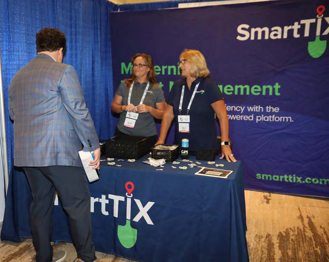
SmartTIX
Built by utility locators, for utility locators, SmartTIX is designed to streamline ticket management with simplicity, real-time reporting, and ease of use. From established firms to start-ups, SmartTIX improves efficiency across the board. Purpose-built for field technicians and business leaders alike, it meets modern demands while reducing operational costs through leading-edge technology.

EXHIBITORS
SILVER
YellowScan
At YellowScan we design, develop, and produce UAV Mapping solutions for professional applications. Fully integrated, ultra-light and easy to use, these highly automated data collection tools are used by customers around the world in fields such as surveying, forestry, environmental research, archeology, corridor mapping, civil engineering, and mining. With more than thirteen years of field experience, YellowScan is committed to delivering the highest level of performance, reliability, and robustness for its solutions. Our platforms are field tested all over the world in multiple environments (tropical forests, bare soils, mountains, rivers, coast lines, open-pit mines, power lines). For more information please go to www.yellowscancom.


PRECISION BEYOND BOUNDS

FRONTIER PRECISION UNMANNED SOLUTIONS
Frontier Precision has been leading the way in delivering innovative solutions – on land, air and underwater with our Unmanned technology. Now, every place on earth is reachable – with our UAS/ Drones, ROV’s, and LiDAR solutions. We help you with the latest technology to get your job done efficiently while keeping your business profitable.

UAS / DRONE DOCKS
The latest innovations in drones and docks to deliver the right product for the right UAS application.
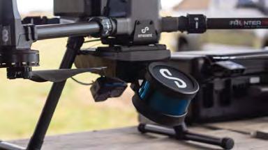
LIDAR / SENSORS
LiDAR/Sensor solutions designed for precision data collection.
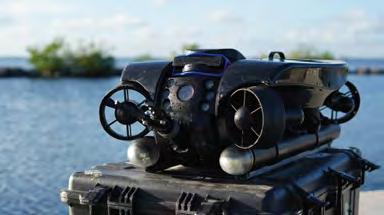
UNDERWATER ROVS
Deep Trekker’s underwater ROVs showcase proven durable and innovative solutions.
FRONTIER PRECISION | JACKSONVILLE, FL
Jordan Baranowksi | 904.855.9827 [Office] or jordanb@frontierprecision.com
FIND OUT MORE AT: www.frontierprecision.com/unmanned
EXHIBITORS
STANDARD
Actalent
Actalent is a global leader in engineering and sciences services and talent solutions. We help visionary companies advance their engineering and science initiatives through access to specialized experts who drive scale, innovation, and speed to market. With a network of almost 30,000 consultants and more than 4,500 clients across the U.S., Canada, Asia, and Europe, Actalent serves many of the Fortune 500.
CARLSON PREFERRED SOLUTIONS
Carlson Preferred Solutions is the exclusive Carlson Software Authorized Dealer for the state of Florida. Specializing in Carlson centric GNSS RTK base and rover solutions, total stations, RTK drones, data collection hardware & software, and CAD software to the Land Surveyor, Civil Engineer, and Construction professional.

EXHIBITORS
STANDARD
CTS Engineering
Established in 2010, CTS Engineering, Inc. is a multidisciplinary engineering firm that offers a comprehensive range of solutions, including transportation planning, traffic engineering, public transit support, roadway design, policy planning, data collection, statistical analysis, PD&E studies, and multimodal transportation improvements, as well as Surveying and Subsurface Utility Engineering (SUE) services. Our team includes licensed Professional Surveyors and SUE professionals who have executed assignments for multiple FDOT Districts, counties, and municipalities across Florida. We offer complete Surveying and Mapping services and control surveys using the latest GPS, LiDAR, and drone technology. Our SUE capabilities span all four Quality Levels (A through D), helping project teams reduce risk by accurately locating and identifying underground utilities using vacuum excavation, geophysical techniques, and utility records research. We provide comprehensive Utility Coordination services that help facilitate early conflict identification, timely resolutions, and effective communication between utility owners and design teams. As a certified Disadvantaged Business Enterprise (DBE), CTS Engineering offers a turnkey package of engineering, surveying, SUE, and utility coordination services.

EXHIBITORS
STANDARD
Data Activation Center
Data Activation Center - The new standard in IoT connectivity, service, and support. At Data Activation Center, we SIMplify business wireless—offering tailored, responsive service that keeps teams connected and productive. We provide customerfirst solutions that make wireless service easy to understand and even easier to manage. From activating new lines and managing data plans to realtime support and usage insights, we take the hassle out of staying connected. Our team works closely with clients across a range of industries—especially surveying and field-based services—to ensure they have the right plans, the right tools, and the flexibility to scale. We’re known for our personal touch, fast response times, and commitment to keeping things simple and stressfree. Whether you’re a long-time customer or just getting started, we’re here to keep you up and running—no stress, no surprises.
DEED READER PRO
Plot Deeds in Seconds with AI
Tired of spending hours plotting deeds? Plot deeds in seconds with Deed Reader Pro! Deed Reader Pro is the next generation of deed plotting software that uses AI to automate the tedious and boring task of plotting metes and bounds descriptions in deeds.

The i nspiration to create Deed Reader Pro came from the desire to simplify and reduce the amount of time it takes to plot deeds. With Deed Reader Pro most deeds can be plotted in under 30 seconds. Deed Reader Pro is the ultimate deed plotting tool for land surveyors, CAD technicians, right of way agents, attorneys title abstractors, county auditors, county appraisers and GIS departments.
EXHIBITORS
STANDARD
DESERT CREATIVE GROUP
Unlock the full potential of geospatial technology and your business with Desert Creative Group. As the North American distributor for Tersus smart GNSS solutions, we bring reliable high accuracy performance to integrated visual positioning, realtime correction technology, and land or aerial mobile mapping systems. Explore our full lineup of GNSS receivers, intuitive software, and autonomous surface vessels for bathymetric surveys—backed by industry expertise. Seeking growth? We’re looking for distribution partners in select U.S. and Canadian regions. Alongside cutting-edge GNSS solutions, we offer strategic business development and marketing services—designed to accelerate your success. Let’s build something great together.
DIGITAL E. CONSULTING


Based in Miami, FL, Digital E. Consulting LLC delivers aerial drone services and geospatial solutions across Florida. Our expert team leverages cutting-edge drone and 3D modeling technologies to provide precise, high-quality data capture and processing. Land surveyors trust us to handle their drone operations, saving time, cutting costs, and tapping into our specialized expertise in data collection, photogrammetry, and LiDAR processing, customized to fit any project.
DUKE ENERGY
EXHIBITORS
STANDARD
Duke Energy is a Fortune 150 company headquartered in Charlotte, N.C., and is one of America’s largest energy holding companies. The company’s electric utilities serve 8.4 million customers in North Carolina, South Carolina, Florida, Indiana, Ohio and Kentucky, and collectively own approximately 54,800 megawatts of energy capacity. Its natural gas utilities serve 1.7 million customers in North Carolina, South Carolina, Tennessee, Ohio and Kentucky. Duke Energy is executing an ambitious clean energy transition to achieve its goals of net-zero methane emissions from its natural gas business by 2030 and net-zero carbon emissions from electricity generation by 2050. The company is investing in major electric grid upgrades and cleaner generation, including expanded energy storage, renewables, natural gas and nuclear.
eGPS SOLUTIONS
At eGPS Solutions, we are a full-service survey equipment and supplies distributor. We sell top-quality equipment from GeoMax, CHC, DJI, and LiDARUSA at the best prices to create unique solutions to fit your surveying needs. We also provide comprehensive services to fully support our customers, including supplies, M2M data plans, certified repairs, technical support, and UAV-LiDAR training, all just a phone call away. So look no further than us for all your surveying needs because, at eGPS Solutions, we will not let you fail.
EXHIBITORS
STANDARD
FAST
Florida Aerial Survey Technologies (FAST) excels in swiftly delivering high-quality aerial survey and mapping data through advanced methods including LiDAR and photogrammetry. Our team’s extensive experience in drone-related software and hardware development has positioned us as one of the only vertically integrated drone survey and mapping companies in the state. Our innovations benefit our clients significantly through reduced project timelines while maintaining data integrity, establishing FAST as the aerial surveying market leader in Florida.

FLT Geosystems
Florida Level & Transit Co. is a full-line dealer for Leica Geosystems (optical, GPS, HDS scanning, & lasers), Topcon Positioning (optical & lasers), Spectra Precision (optical, data collectors, & lasers), Carlson Software, Septentrio, and many more. Our home office is in Ft. Lauderdale, with a full-service office in Tampa.
GeoNetworking


Geo Networking is a Topcon/Sokkia distributor located in Central Florida. The company focuses on end-to-end sales through a consultive sales strategy. In this process, Geo Networking is able to match the right product to meet your team’s goals for your deliverables. Geo Networking is proud to offer the Quantum Systems line of drones that include the Trinity Pro and a powerful line of sensors with LiDAR options. We are also excited to welcome FARO to our lineup of terrestrial scanners. The all new Orbis is a handheld SLAM scanner that is really making waves in the mass data capture arena. These products matched with the very well known products from Topcon/Sokkia make any job a slam dunk.
EXHIBITORS
GPI GEOSPATIAL
STANDARD

For fifty years, GPI Geospatial, Inc., a subsidiary of Greenman-Pedersen, Inc., has delivered advanced geospatial services in both public and private sectors throughout the eastern U.S. Our professional surveying and mapping services caters to engineers, architects, planners, land developers, and a wide range of public and private markets, such as energy, transportation, and private development. GPI Geospatial provides the most accurate remote sensing and survey data by utilizing specialized aircraft, vehicles, and personnel outfitted with cuttingedge equipment and software. Our commitment to precision, innovation, and client satisfaction has earned GPI Geospatial an unparalleled reputation, making us the preferred firm of choice for those seeking unrivaled geospatial solutions tailored to their needs. Our team is comprised of dedicated subject matter experts and support staff, many of whom are licensed Land Surveyors, ASPRS Certified Photogrammetrists and Mapping Scientists, GIS Professionals, FAA Licensed Pilots, and Project Management Professionals.
Green Equipment Company
Green Equipment Company is your source for “DAMAGE PREVENTION” tools and products that lead the industry in Innovation and Quality. We offer “Value” through exceptional customer service and competitive pricing. Our highly trained, experienced sales team covers eight states and represents worldleading manufacturers. We are problem solvers, dedicated to meeting our customer’s needs. With Green Equipment Company, you receive continual service after the sale.
EXHIBITORS
STANDARD
Guideline Geo
Guideline Geo guides users to map the subsurface through non-destructive geophysical methods. Primarily focusing on groundwater management, ground investigations, and the utility locating sector. With a history dating back to 1923, we develop, manufacture, and market instruments, software, and services, offering unique field-to-finish workflows for our two market-leading brands – ABEM and MALA. Guideline Geo reaches over 80 countries through a network of partners and local offices. One local office headquartered in Charleston, SC and a strong distributor network in Florida, Power-Tel Utility Products.

HALEY WARD
Haley Ward is a 100% employee-owned technical consulting firm offering a wide range of engineering, architectural, planning, environmental, BIM and surveying services focused upon delivering clientbased solutions. Our team of 300 employees value accountability and collaboration and serve land development, municipal, energy, industrial, and institutional clients. Haley Ward is headquartered in Bangor with locations throughout Maine, New England, and Florida.

EXHIBITORS
STANDARD
HAYES INSTRUMENT CO.
Hayes Instrument Co., a Topcon dealer in Tennessee, is the leading supplier of top-of-the-line construction and surveying instruments and supplies, has been serving the Surveying, Engineering, and Construction industry for over 40 years. Hayes is a factory authorized dealer for Topcon and Sokkia, as well as several top vendors of surveying supplies and accessories. In addition to our top-of-the-line equipment and supplies, we have our complete factory-authorized Repair and Service Center. Another aspect of Hayes Instrument is our live Tech Support on all equipment. We dedicate ourselves to providing the best customer service and pride ourselves on serving our customers every day.

iGage
iGage is a nationwide survey and GIS equipment sales team. We provide GPS, robotic total stations, bathymetric boats, machine control and slam scanners. We pride ourselves on the support we are able to provide our clients. We have offices in 11 states and have multiple licensed land surveyors selling and supporting all of the equipment that we offer. We not only sell the equipment but we use it in our everyday practices. This gives us a better understanding of how the equipment works and a real empathy for the customers. For more information or to get a demonstration of any of the above items, please feel free to contact us at matt@igage.com or by phone at 270-980-2583. iGage

EXHIBITORS
STANDARD
JAVAD
JAVAD GNSS designs and manufactures high-precision GNSS and communication solutions for demanding applications. Founded by recognized pioneer of GNSS technology, Dr. Javad Ashjaee, we maintain his legacy of prioritizing performance and innovation. Our solutions are manufactured in-house, in San Jose, California, USA. We are committed to connecting the world through precision. We always will be.
Kucera International, Inc.


Kucera International, Inc. is a leading provider of aerial remote sensing, lidar processing/classification, photogrammetric mapping, orthoimaging, CAD and GIS conversion and support, and related services for surveying/engineering, government, industrial/commercial, and educational/research applications. Kucera’s in-house staff of over 60 experienced geomatic professionals working at offices in Florida, Ohio, and Pennsylvania includes licensed/certified photogrammetrists, surveyors, engineers, GIS/CAD specialists, project managers, pilots, and aircraft mechanics. For aerial data acquisition, Kucera maintains a fleet of high-performance, multi-port manned aircraft outfitted with latest generation aerial lidar, digital aerial imaging, and multispectral sensing systems integrated with advanced airborne GPS/IMU georeferencing technologies. For data processing, mapping, conversion, and support, Kucera uses a variety of robust, proven remote sensing, photogrammetric, imaging, and GIS and CAD technologies/software. Kucera regularly works throughout Florida, the Caribbean region, and other areas of the U.S. Kucera is a longstanding Florida professional surveying and mapping firm and a sustaining member of ASPRS.
EXHIBITORS
STANDARD
Leica Geosystems
With more than 200 years of history, Leica Geosystems, part of Hexagon, is the trusted supplier of premium sensors, software and services. Delivering value every day to professionals in surveying, construction, infrastructure, mining, mapping and other geospatial content-dependent industries, Leica Geosystems leads the industry with innovative solutions to empower our autonomous future.
LENGEMANN
Established in 1962, Lengemann Corporation is celebrating 60 years of meeting customer needs. Lengemann Corporation is one of the leading Topcon and Sokkia full line surveying instrument dealers in the United States. We sell/rent/finance GPS, Robotics, Total Stations, Drones, Machine Control, and supplies. Lengemann Corporation is the only authorized Topcon and Sokkia master repair facility in the state of Florida.

We also operate one of the largest, privately owned GPS networks in the U.S. called L-Net. Our new onsite training facility is equipped for all your survey and machine control needs.
EXHIBITORS
MEASUTRONICS
STANDARD

Measutronics, a Division of Duncan-Parnell, is a Trimble Advanced Marine Partner delivering marine positioning, guidance, and underwater 3D mapping & 2D imaging solutions. For nearly 30 years, our hands-on approach to sonar system sales, installation, and operator training has earned us a reputation as a leading provider of survey technology for bathymetric and hydrographic applications. Well-versed in U.S. Army Corps of Engineers (USACE) and National Oceanic and Atmospheric Administration (NOAA) procedures and requirements, our sales engineers and technicians are experts at configuring sonar systems to meet specific agency or project needs, providing operator training, and supporting project startup. Whether you're performing hydrographic surveys, conducting pre- and post-dredge assessments, or verifying as-built conditions, we offer an extensive selection of equipment for sale or rental. Measutronics – start here, finish on target.
NavVis
BUILD BETTER REALITY
— Bridge the gap between the physical and digital worlds through reality capture technology that provides the digital foundation for the world you want to live in. We supply fast, reliable spatial data to service providers and enterprises seeking to capture photorealistic digital twins of the built environment. Our digital factory solutions enable greater organizational operability, productivity, agility, and profitability. Headquartered in Munich, Germany, and with offices in the United States, the United Kingdom, and China, NavVis serves global customers across the surveying, AEC, and manufacturing industries. Learn more at www. navvis.com.
EXHIBITORS
STANDARD
NV5
NV5 is a leading provider of technology, conformity assessment, and consulting solutions for public and private sector clients supporting infrastructure, utility, and building assets and systems. The Company primarily focuses on six business verticals: construction quality assurance, infrastructure support services, utility services, buildings and technology, environmental health sciences, and geospatial technology services. NV5 operates out of more than 100 offices nationwide and abroad, with 9 offices serving the Florida Region.
REAL.iT
R-E-A-L.iT is a leading provider of customized reality capture workflow solutions for clients across diverse industries. Established by Derek deBlois in 2021, our company has rapidly evolved to become a trusted partner for businesses seeking innovative solutions in industries like engineering, architecture, public safety, visual effects (VFX), and more.


At R-E-A-L.iT, we are dedicated to delivering comprehensive reality capture solutions, expert consulting, and tailored software development to address the unique needs of our valued clients.
EXHIBITORS
STANDARD
SAM
For over thirty years, SAM has built a reputation as a trusted, knowledgeable, and innovative partner. Our licensed professionals transform petabytes of complex spatial data into intelligent insights in a holistic Managed Geospatial Services™ (MGS™) framework. As North America's premiere MGS™ company, SAM provides practical, precise, and high-fidelity solutions designed to enhance decision-making, mitigate risks, achieve strategic objectives, and drive costs out of our client's business. Our vision is to advance spatial data acquisition, improve analysis capabilities, and develop predictive analytics to redefine and transform how infrastructure assets are developed and managed throughout their lifecycles.
Skate Click Here to Find Out Why Skate Matters to Surveyors

EXHIBITORS
STANDARD
SURVAIR
SURVAIR is a leading UAV data collection and processing company delivering high-accuracy solutions for licensed surveyors and engineers. With experienced surveyors on staff, we ensure precise, reliable data that integrates seamlessly into your workflows. From orthomosaic imagery and 3D models to volumetric analysis and complex surface development, our tailored solutions support projects of any scale, including challenging and vegetated sites. Combining advanced technology, rigorous quality control, and a commitment to safety, SURVAIR redefines boundaries and helps you complete projects with confidence.

SURVEYORS INSTRUMENT SERVICES
Surveyors Instrument Services, LLC is a land surveyor and construction equipment supplier based in Tampa, Florida. We offer repairs, service, rentals, supplies, new and used equipment options for all of your surveying needs. Owner, Stan Denison, has 40+ years of service and expertise in the surveying and construction industry. We provide customers with superior service and a quick turnaround time. Our years of experience, knowledge, and service in the industry has allowed us to be a reputable company for our customers. The list of equipment we sell and service is extensive.
EXHIBITORS
STANDARD
THE UNDERGROUND DETECTIVE
The Underground Detective locates private utilities using state-of-the-art equipment for all pre-excavation and site planning needs. The state one-call (811) only marks public utilities, those which are before the service meter. Any utility beyond the service meter is usually considered private, which will require a second call to The Underground Detective. Although The Underground Detective is not a licensed civil engineer or surveyor, we can map the utility locations with sub-meter accuracy and provide GPS coordinates with a shapefile and a Google Earth overlay. This valuable information can be used in your Auto CADD project, but our mapping work is to give our clients a basic overview of the project they are engaging in and help assess what to expect when designing, updating, or performing preliminary site work. We will go anywhere and have offices in Atlanta, Nashville & Johnson City,TN, Spartanburg, SC, Lakeland, FL, Cincinnati & Toledo, OH, Chicago, St. Louis, and Philadelphia. If you or your coworkers need estimates in those areas, contact us.
Timeless WITNESS Post

Timeless Witness Post, a product by the makers of Timeless Fence System, is now being used as Survey Marker posts for land surveying. This groundbreaking use of Timeless Fence's products showcases the versatility and durability of Rigid PVC posts, marking a significant advancement in the field of land surveying. Traditionally, land surveyors have relied on various materials for marker posts, but Timeless Fence's Rigid PVC posts are designed to withstand the elements and the test of time, these posts are becoming an essential tool for surveyors across the nation.

EXHIBITORS
STANDARD
VISIONARY SUBSURFACE SOLUTIONS
Visionary Subsurface Solutions (VSS) provides advanced subsurface utility engineering (SUE) and utility locating services that help surveyors and engineers plan, design, and build with confidence. Our experienced team uses state-of-the-art technology to accurately map and identify underground utilities, reducing risk and preventing costly conflicts. VSS delivers detailed, dependable data that supports smarter decisionmaking and keeps projects on track. With a focus on precision, safety, and responsiveness, VSS is the trusted partner for uncovering what lies beneath.

EXHIBITORS
GRATIS
Florida Board of Professional Surveyors & Mappers
The Florida Board of Professional Surveyors and Mappers is housed within the Florida Department of Agriculture and Consumer Services (FDACS). The Board is charged with regulating surveyors and mappers, adopting rules to implement Chapter 472, F.S., and protecting the health, safety, and welfare of the public.
FAU Florida Atlantic University
A three-time NCEES award winner, Florida Atlantic University's Bachelor of Science degree in Geomatics Engineering is one of the state-of-the-art ABETaccredited engineering programs in the nation. The award-winning faculty has outstanding teaching and research experience and diverse professional backgrounds. Students can collaborate with other engineering and science disciplines, such as geosciences, computer science, urban planning, and other fields. While this program prepares students for the Professional Land Surveyor (PLS) license, some students successfully pass the NCEES Fundamentals of Surveying (FS) and Fundamentals of Engineering (FE) examinations before graduating from the program.
EXHIBITORS GRATIS
FSU | FREAC
The Florida Resources and Environmental Analysis Center (FREAC), established in 1969, is the original center within the Institute of Science and Public Affairs (ISPA) at Florida State University (FSU). FREAC professionals conduct research in the general areas of resource management and environmental analysis, as well as provide advice and technical assistance to state and local agencies. Public lands research and analysis, geographic information system development, and graphic representation of digital databases are current and long-range FREAC research interests. FREAC also trains university students in these areas through direct involvement in projects, providing real-world experiences.
University of Florida Geomatics
The Florida Resources and Environmental Analysis Center (FREAC), established in 1969, is the original center within the Institute of Science and Public Affairs (ISPA) at Florida State University (FSU). FREAC professionals conduct research in the general areas of resource management and environmental analysis, as well as provide advice and technical assistance to state and local agencies. Public lands research and analysis, geographic information system development, and graphic representation of digital databases are current and long-range FREAC research interests. FREAC also trains university students in these areas through direct involvement in projects, providing real-world experiences.


EXHIBITORS
GRATIS
UF | IFAS School of Forest, Fisheries, and Geomatics Sciences
The UF/IFAS School of Forest, Fisheries, and Geomatics Sciences has under-graduate and graduate programs in Forestry, Natural Resource Conservation, Fisheries, Geomatics, and Marine Sciences. Our Geomatics major has two specializations – Surveying and Mapping for those interested in traditional surveying and licensure, and Geospatial Analysis for those focusing on analyzing geospatial data.

Modernize Ticket Management with SmartTIX
An easy-to-use platform built for utility locators, by utility locators.


Easy to Adopt, Made for the Field
Locators need fast access to ticket info, clear instructions, and a simple interface that works on the go. SmartTIX is built for real field conditions, not just office dashboards - making it easy to adopt and even easier to use.
SmartTIX Empowers Every Stakeholder
From field technicians and supervisors to leaders managing the business, SmartTIX empowers every stakeholder to work smarter using the most cost - effective, time - saving ticket management solution on the market.


SPONSORS
Exhibitor Reception Trimble

Room Keys Hyatt Survey

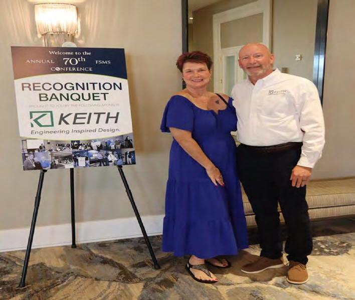
Recognition Banquet KE ITH
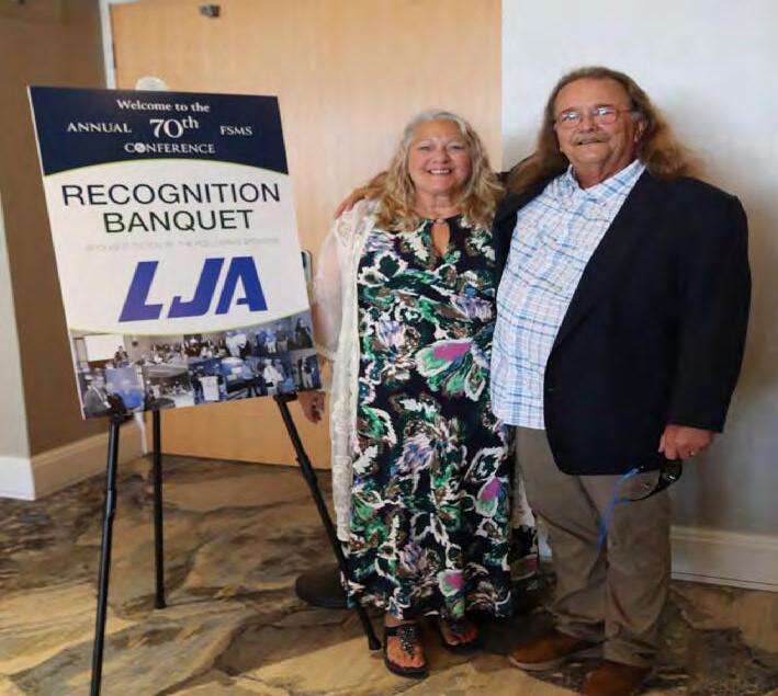
Recognition Banquet L JA

SPONSORS

Recognition
Banquet S TONER

Conference Tote Bags L ANGAN

Lanyards S AM
Name Badges G PI
SPONSORS
Welcome BBQ ETM Surveying & Mapping

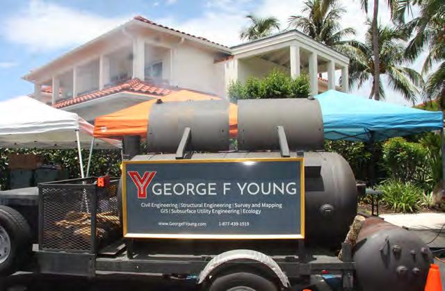
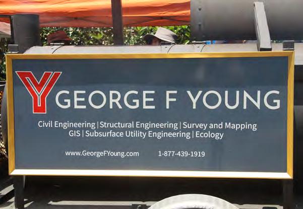
Welcome BBQ G EORGE F YOUNG
Swag W hidden Surveying & Mapping
Swag S TONER
SPONSORS
Conference Morning Coffee ATWELL
Conference Morning Coffee B owman
Conference Morning Coffee P ickett

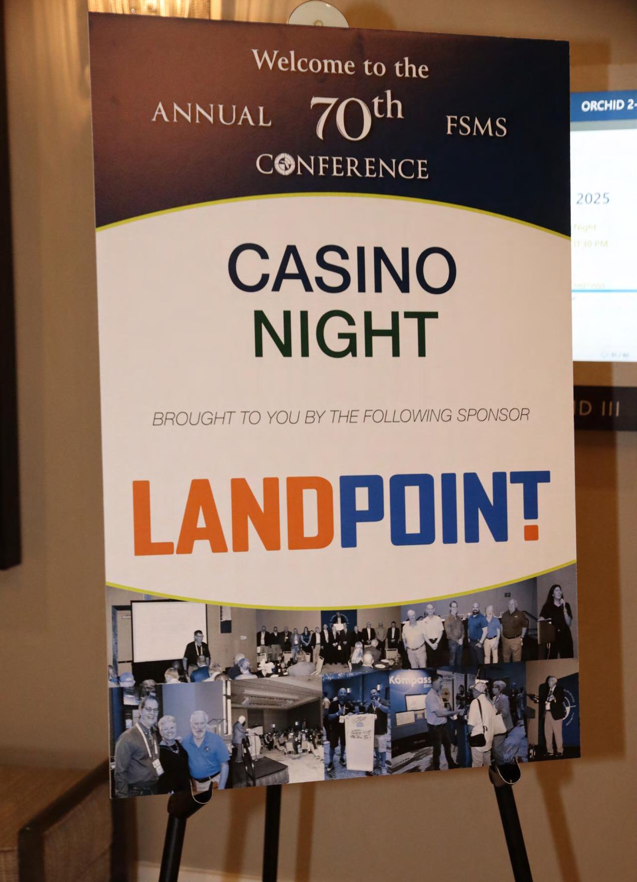
Casino Night L ANDPOINT

SPONSORS
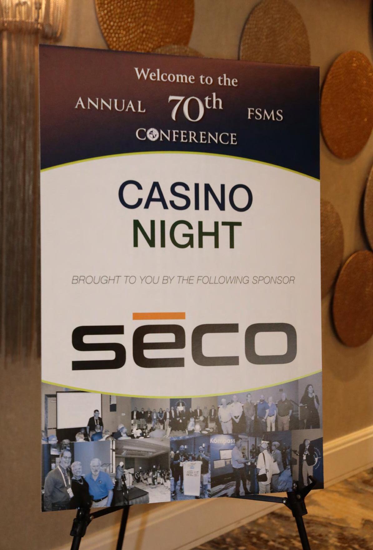
Casino Night sēco
Front Cover of Conference Program Book
E.R. Brownell & Associates


Registration Desk & Signs M c KIM&CREED

Registration Desk & Signs S SMC
SPONSORS
Back Cover of Conference Program Book
WBQ Design & Engineering
Legislative Reception M iami-Dade Ch.


Exhibit Hall Luncheon B roward Ch.
SIT Test Prep

SPONSORS
SIT Test Prep KEITH
SIT Test Prep S SMC
SIT Test Prep Tampa Bay Chapter


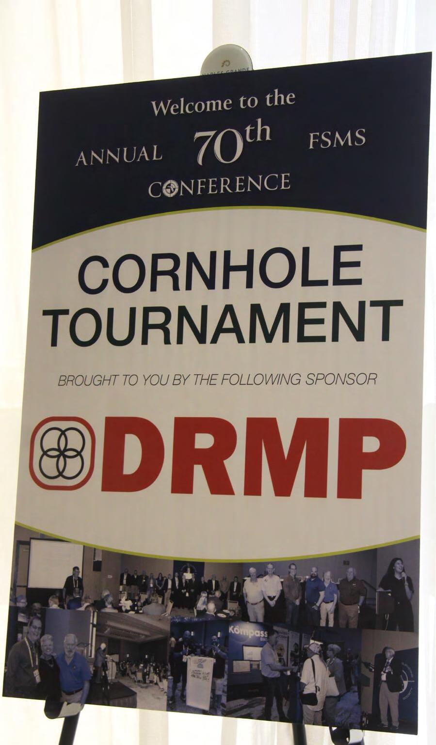
Cornhole Tournament DR MP
SPONSORS
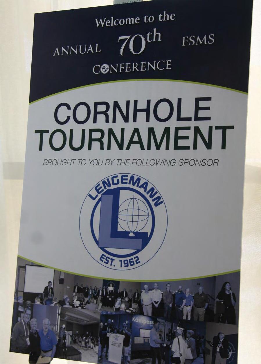
Cornhole Tournament L ENGEMANN
Golf Tournament Manasota Ch.

Exhibitor Welcome Bags Collier-Lee Ch.
Inside Front Cover of Conf. Program Book
WGI

SPONSORS
CST Exams C entral Florida Ch.

Registration Packets BROWN & PHILLIPS

Registration Packets Central Florida Ch.
Registration Packets Tampa Bay Chapter
SPONSORS
Saturday Refreshments Break D RMP
Sat. Seminar Sponsor Tampa Bay Chapter
Young Surveyors Event Central Florida Ch.

Young Surveyors Event KEITH
SPONSORS
Young Surveyors Event L ANDPOINT
Young Surveyors Event L ANGAN
Young Surveyors Events Palm Beach Chapter
Young Surveyors Events Palm Beach Chapter
SPONSORS
Young Surveyors Event S SMC
General Sponsor C REECH

General Sponsor C TS Engineering


LEGISLATIVE RECEPTION


RECEPTION

Sponsored By:
Lauren Melo
State Representative
Florida House of Representatives District 82 2025 Session - Human Services Subcommittee
Chair. Also member of - Budget Committee, Health Care Budget Subcommittee, Health & Human Services Committee and Careers & Workforce Subcommittee.
Lauren is a businesswoman who has flourished in a variety of fields. In 1991, she started her own trucking company which she grew from a single truck into a large fleet, at one point managing more than one hundred trucks. She still has her commercial driver’s license and to this day owns the original truck she used to start the company. Today, Lauren owns a real estate brokerage firm she steered to success even facing a personal health challenge, a year and a half battle with breast cancer, while never taking a break from her management role.


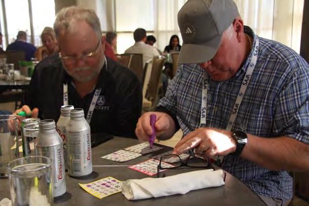
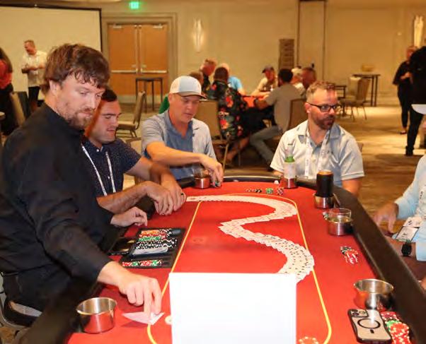
CASINO NIGHT


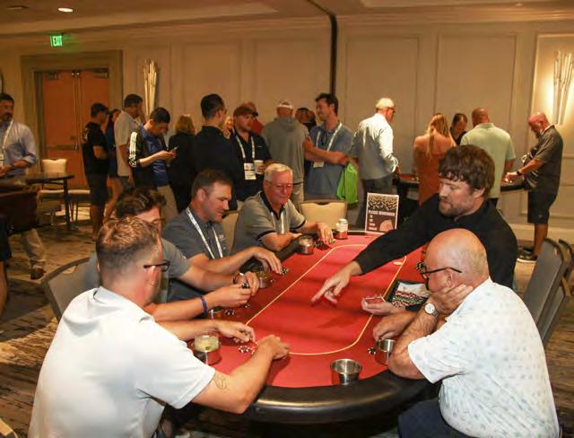


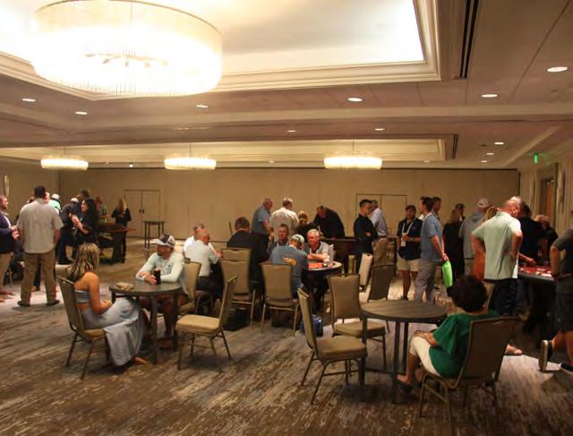


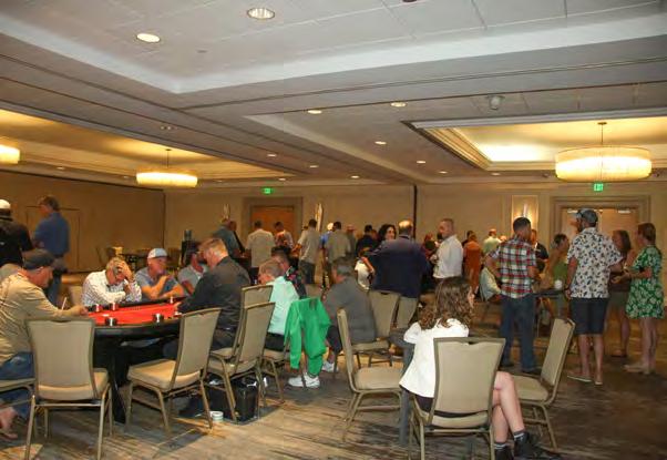
CASINO NIGHT


Solutions for Your Hydrographic Surveying Business
We provide positioning, guidance, and underwater imaging solutions in support of bathymetric/hydrographic survey.

Underwater Imaging/Sonars
2D/3D sonar for underwater mapping, inspection, and analysis
Trimble
Marine Positioning Products
GNSS + RTK/PPP corrections, RTS, heading sensors, IMUs
Training & Support
Onsite training, HYPACK training, shortand long-term rentals, certified repairs
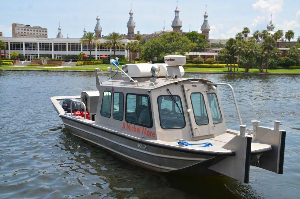


SURVEYORS INSTRUMENT SERVICES
WWW.SURVEYORSINSTRUMENT.COM (813) 999 8998
INFO@SURVEYORSINSTRUMENT.COM 6091 JOHNS RD., SUITE 4, TAMPA FL, 33634
Surveyors Instrument Services , LLC, is a full-service surveying equipment retail store, based in Tampa, Florida . We offer repairs, sales, rentals and consignments. SIS is a full-line dealer for Geomax, Topcon, Sokkia, Seco, SitePro and Schonstedt. We pride ourselves in providing our customers with superior service and a quick turnaround time. Owner, Stan Denison , has 40+ years of service and expert ise in the surveying and construction industry.
Check out our website for current deals, promotions, and consignment instruments!


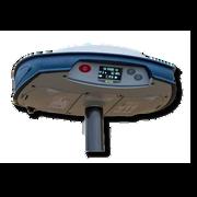


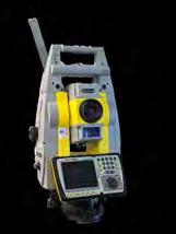


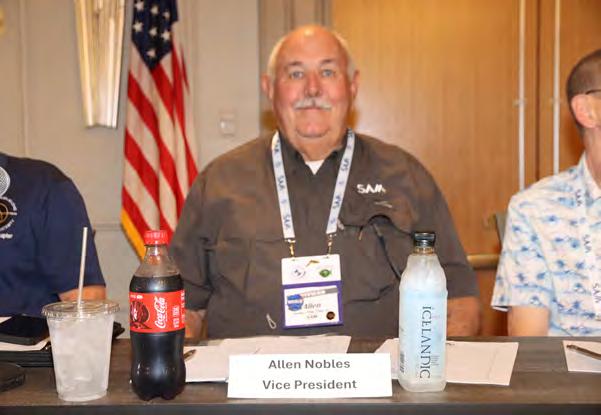
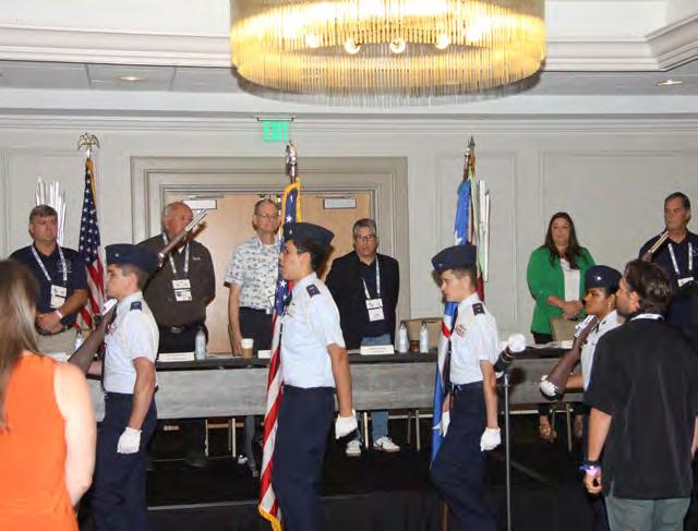
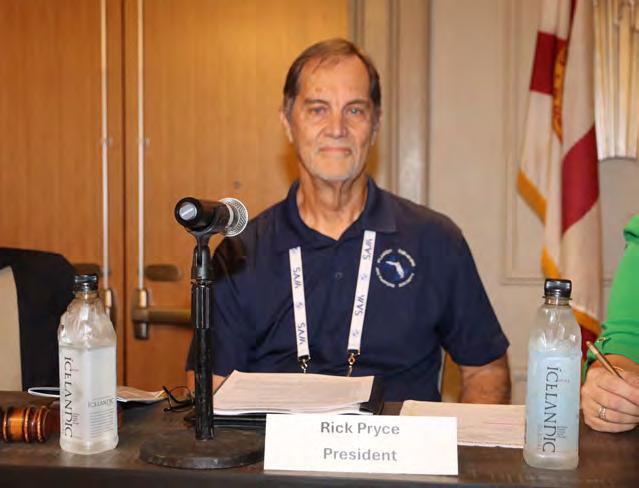


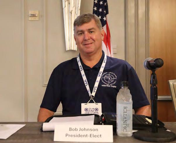
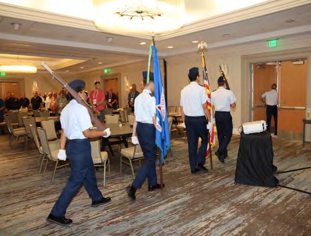


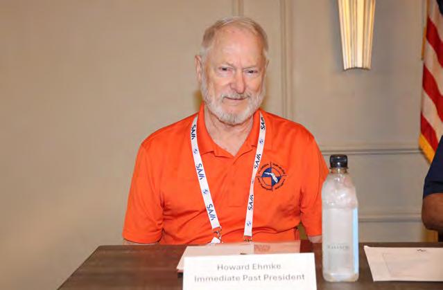


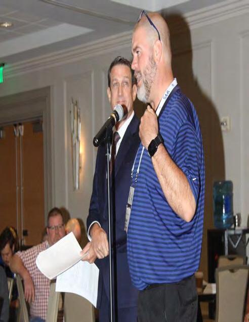

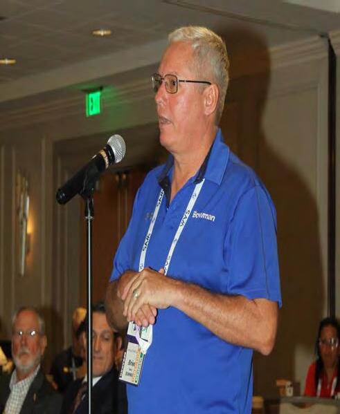

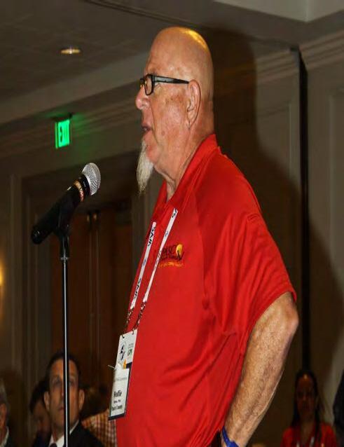


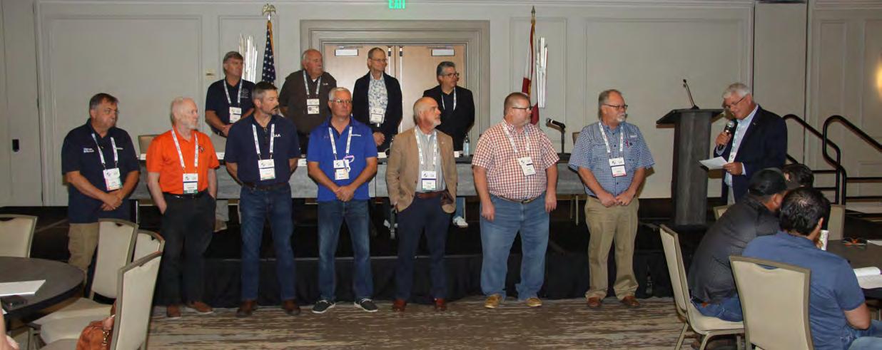
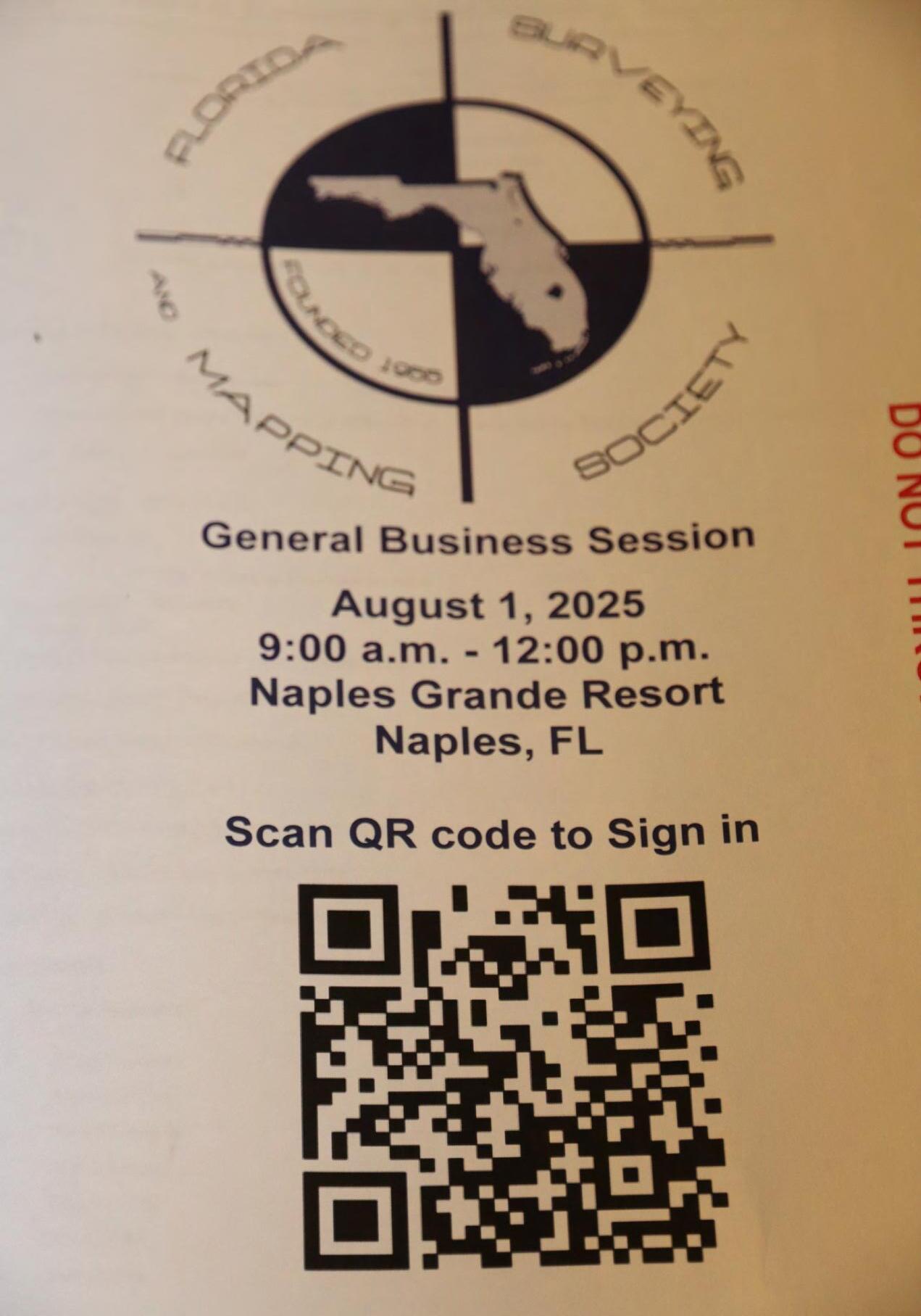

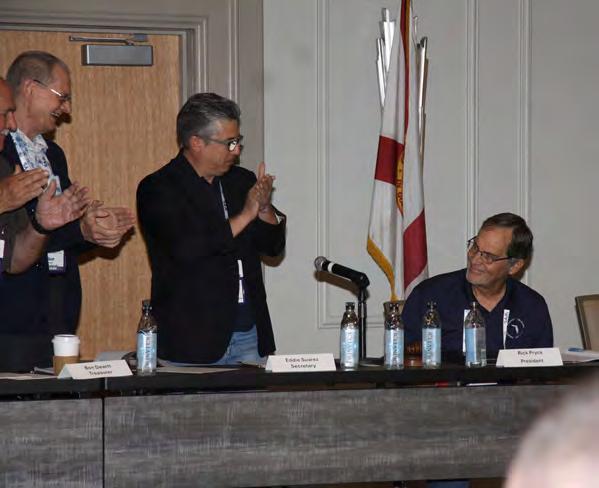


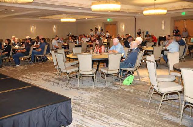
EXHIBIT HALL LUNCHEON


LUNCHEON

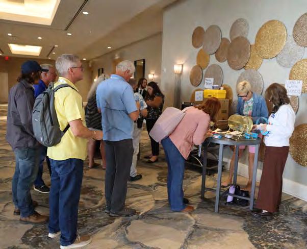


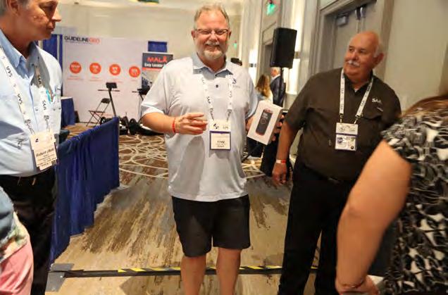
EXHIBIT HALL LUNCHEON


LUNCHEON
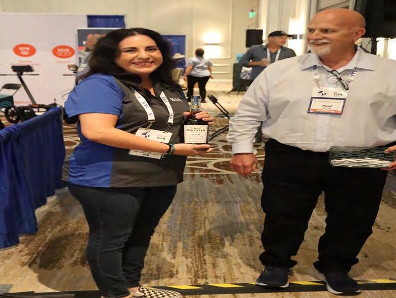
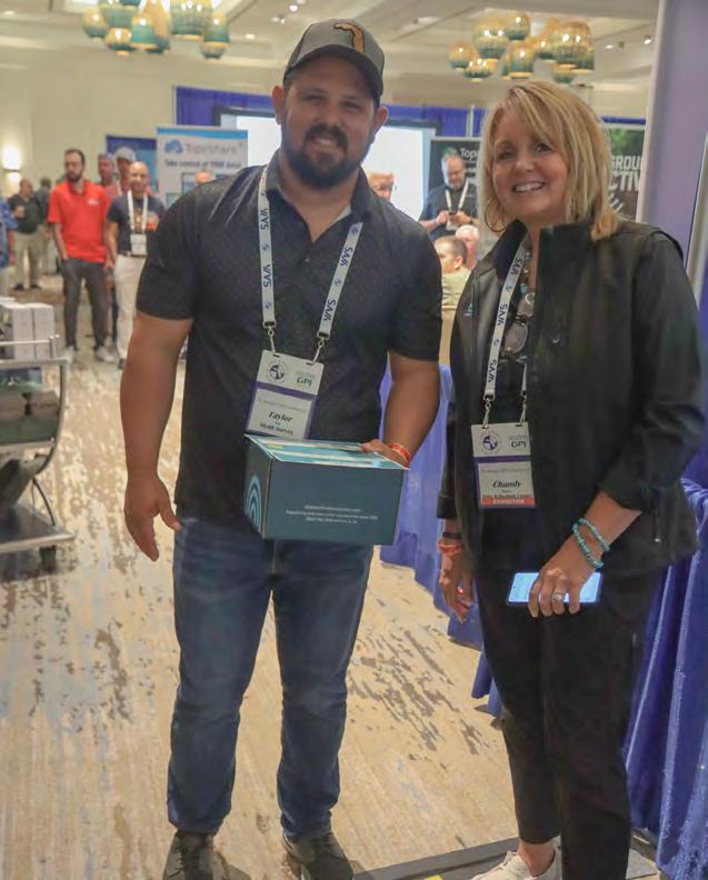


EXHIBIT HALL LUNCHEON


LUNCHEON


EXHIBIT HALL LUNCHEON
LUNCHEON


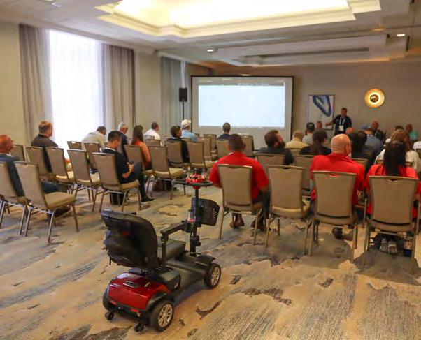
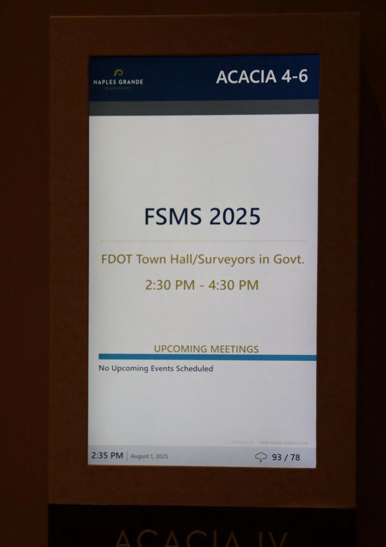
FDOT Town Hall / Surveyors


Surveyors in Government

YOUNG SURVEYORS


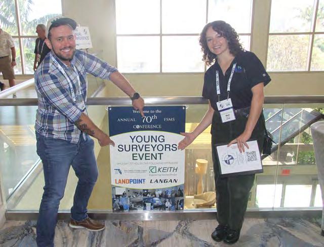
Sponsored By:


YOUNG SURVEYORS


YOUNG SURVEYORS


RECOGNITION


RECOGNITION BANQUET
Sponsored By:


RECOGNITION


RECOGNITION BANQUET


RECOGNITION


RECOGNITION BANQUET


RECOGNITION


RECOGNITION BANQUET


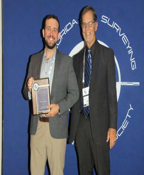

2025 YOUNG PROFESSIONAL SURVEYOR OF THE YEAR AWARD WINNER:


Joe Samberg


2025 LARGE CHAPTER OF THE YEAR AWARD WINNER: MANASOTA


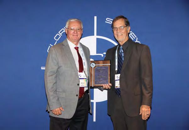
2025 CHAPTER PRESIDENT OF THE YEAR AWARD WINNER: BRION YANCY


Scott Woolham


2025 FELLOW MEMBER RECIPIENTS:


2025 PERRY C. McGRIFF OUTSTANDING PROFESSIONAL FOR CIVIC CONTRIBUTION AWARD WINNER:

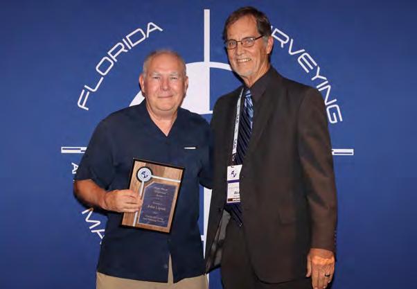

2025 STEVEN WOODS EXCEPTIONAL SERVICE AWARD WINNER: John Liptak
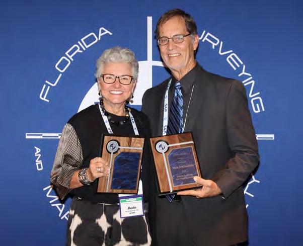
Dodie KeithLazowick
Nick DiGruttolo


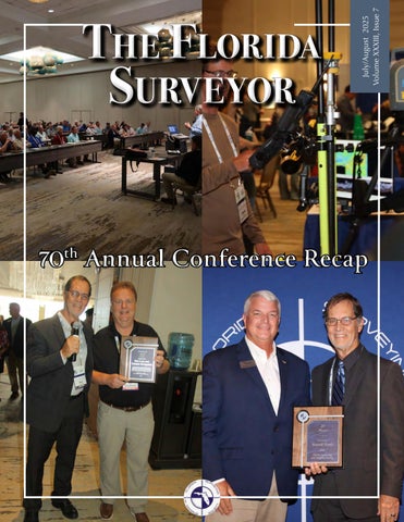
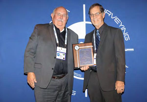
2025 PROFESSIONAL EXCELLENCE AWARD WINNER: Earl Soeder

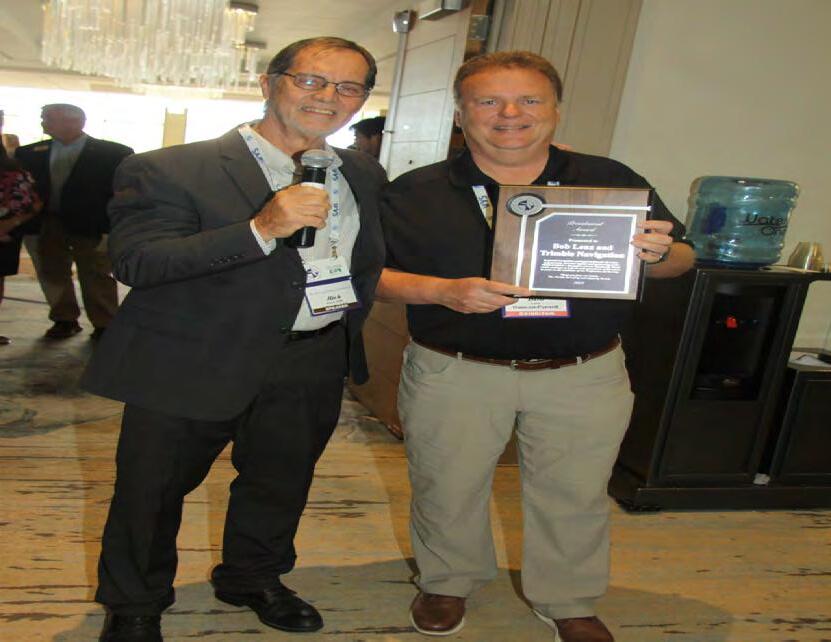
2025 LIFE MEMBER RECIPIENT: Russell Hyatt


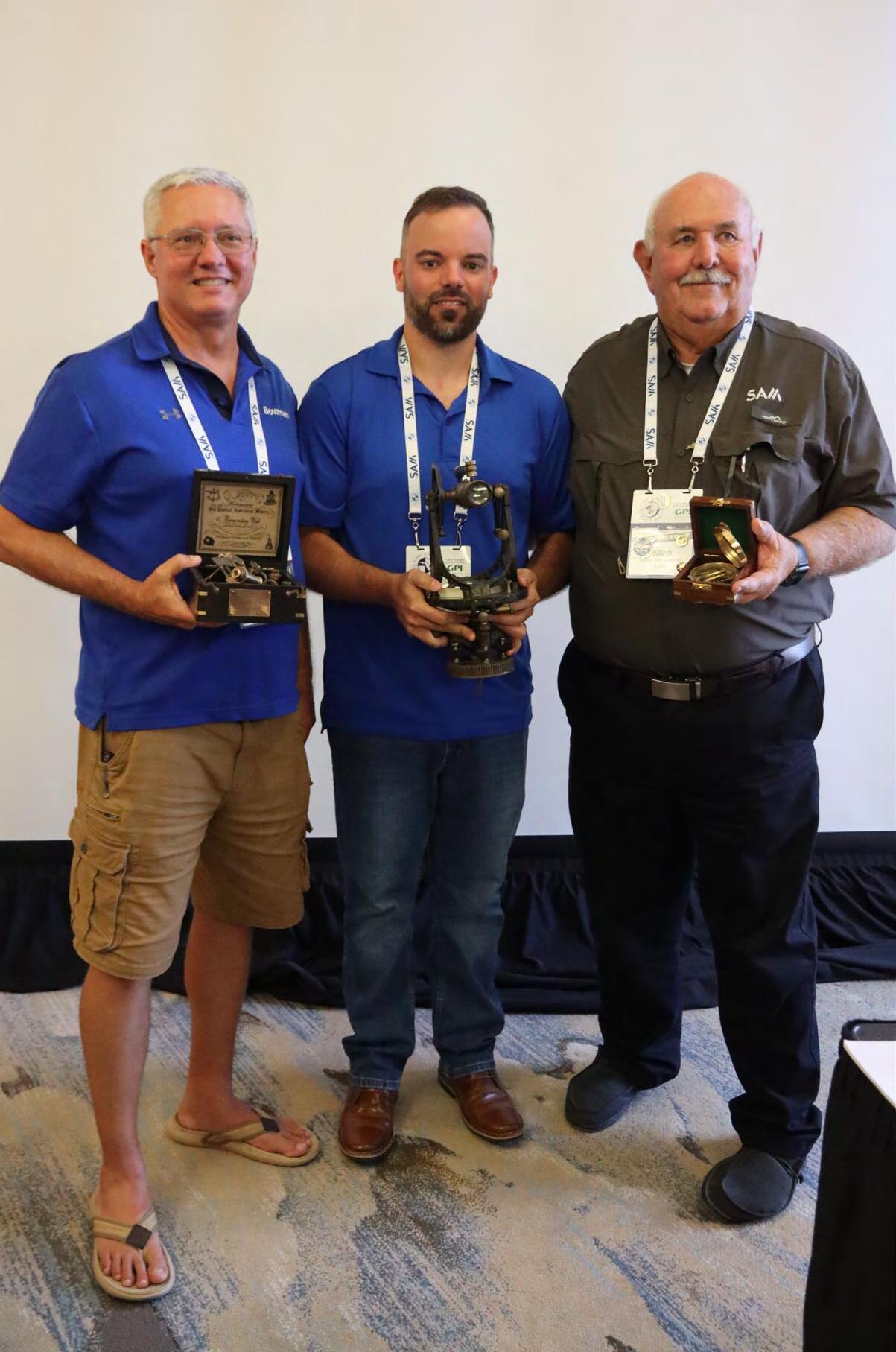
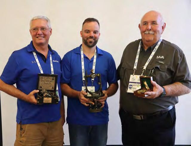
2025 COMMITTEE CHAIR OF THE YEAR AWARD WINNER: Allen Nobles


2025 JIM BENNET BOARD MEMBER OF THE YEAR AWARD WINNER: Earl Soeder


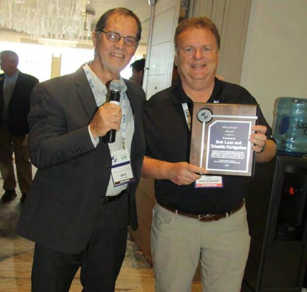
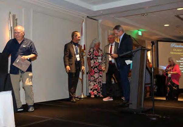
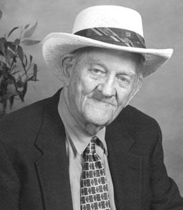
Outgoing President Rick Pryce presents Earl Soeder with the 2025 Presidential Award.
Outgoing President Rick Pryce presents Associate Members with their 2025 Presidential Awards.

2025
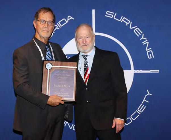
H.O. PETERS SURVEYOR OF THE YEAR AWARD WINNER: Rick Pryce

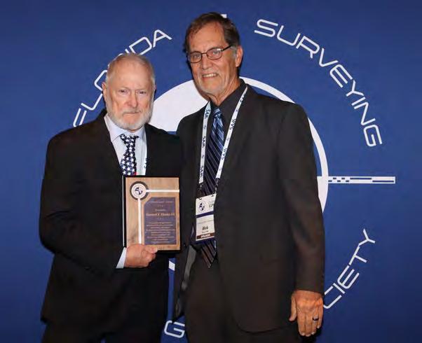


Past President Howard Ehkme receives the 2025 Presidential Award from outgoing President Rick Pryce.
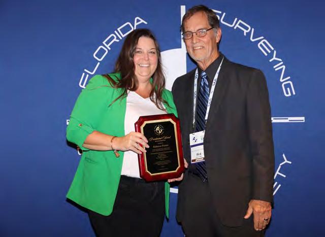
Outgoing President Rick Pryce presents FSMS Executive Director Rebecca Porter with the 2025 Presidential Award.
RECOGNITION


RECOGNITION BANQUET
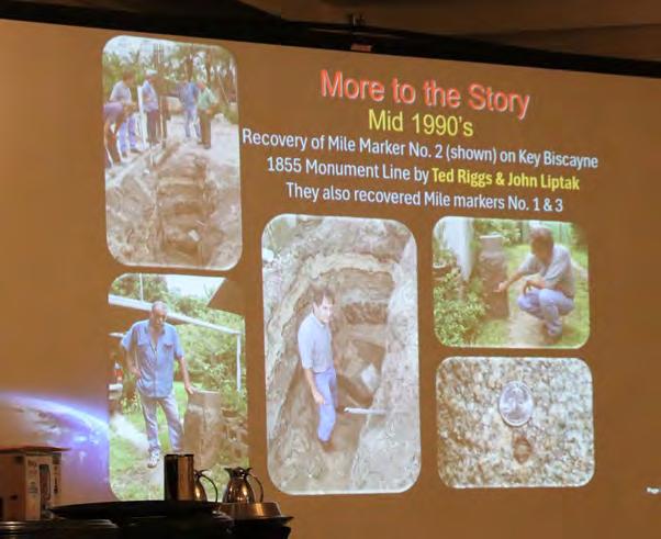

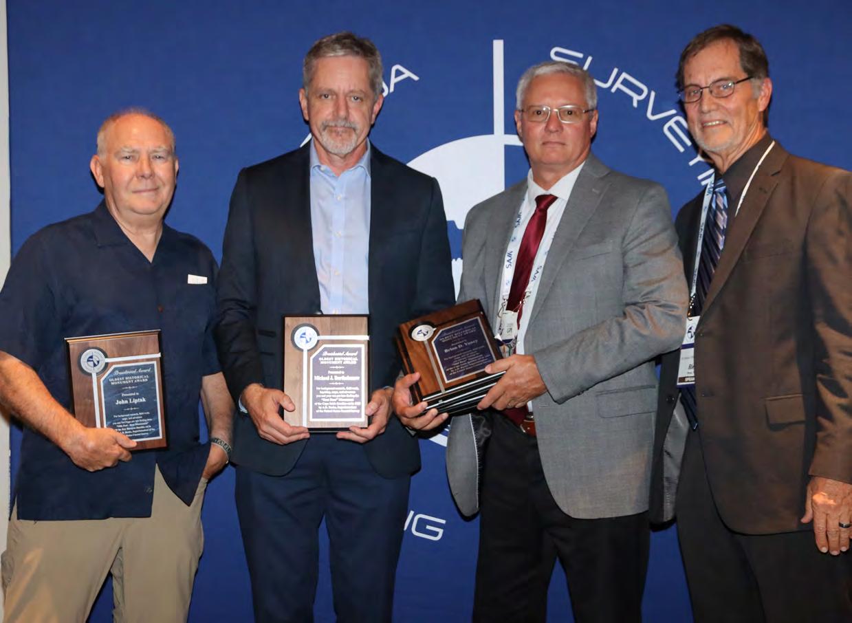
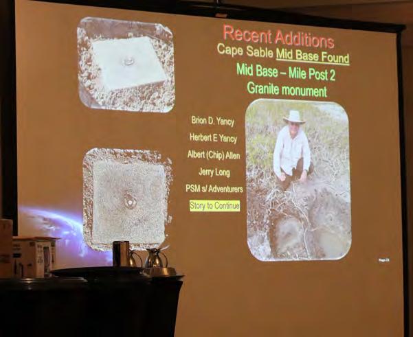
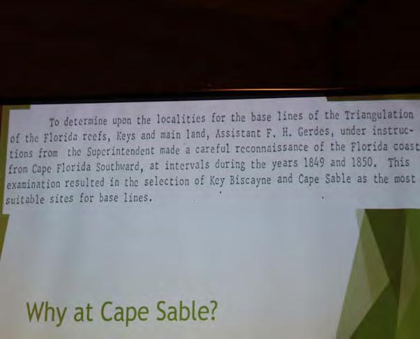
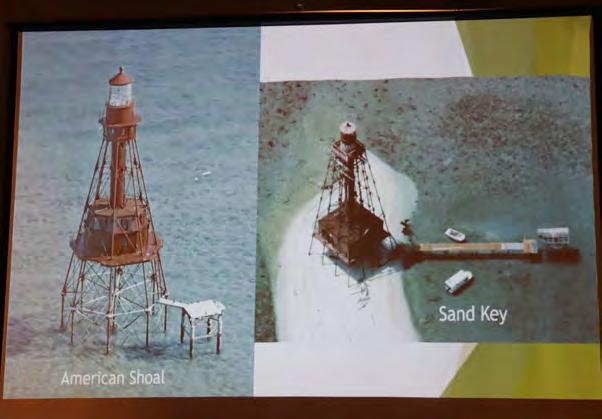
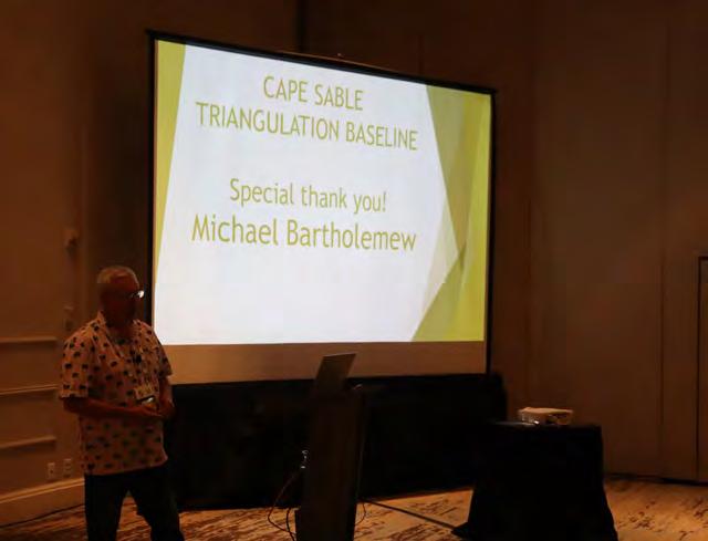
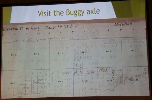
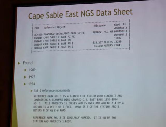
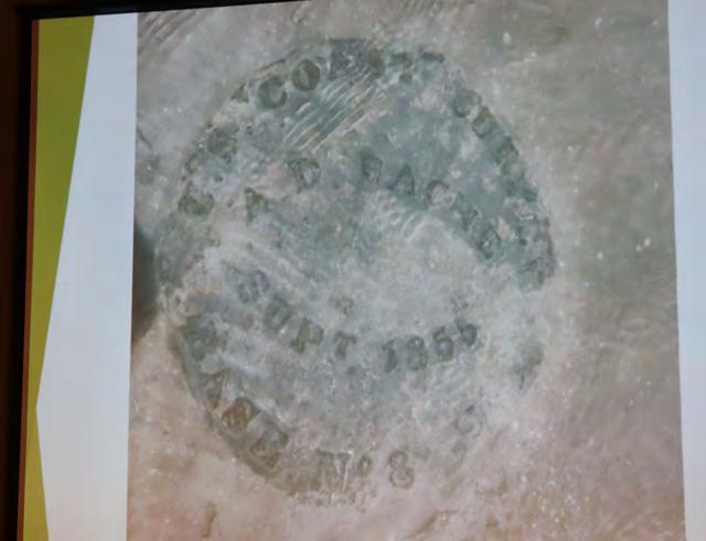
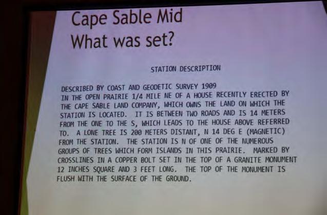
From L to R: District 6 Director John Liptak, Mike Bartholomew, and President-Elect Brion Yancy receive their 2025 Presidential Awards from outgoing President Rick Pryce for their work in rediscovering monuments on Key Biscayne and Cape Sable.
RECOGNITION


RECOGNITION BANQUET


YOUR FLORIDA GEOSPATIAL PARTNER

Duncan-Parnell, along with our valued partners, including Trimble and other top brands, are proud supporters of the Florida Surveying & Mapping Society. From solutions including GNSS, scanning, GPR, drones, and more to services including support, rentals, training, and repair, we are pleased to be your one-stop shop for geospatial professionals throughout the Sunshine State.


Jacksonville, FL (904) 620 - 0500


Orlando, FL (407) 601 - 5816

www.duncan-parnell.com

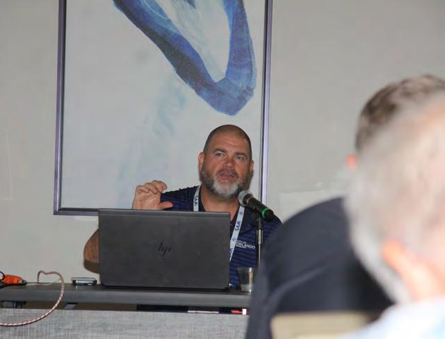
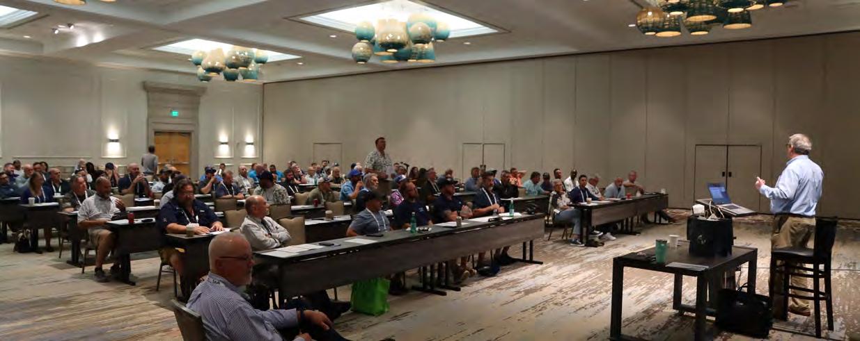
SATURDAY SEMINARS
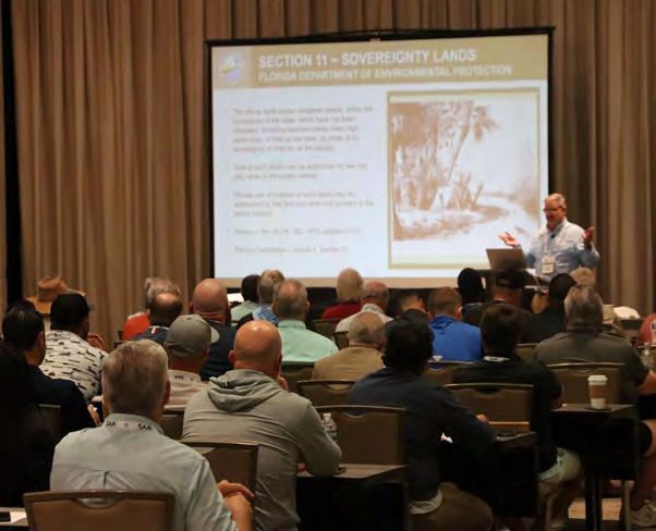
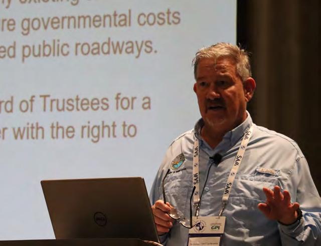
FDEP - Sovereignty Lands / Water Boundaries, Murphy Act Lands and Board

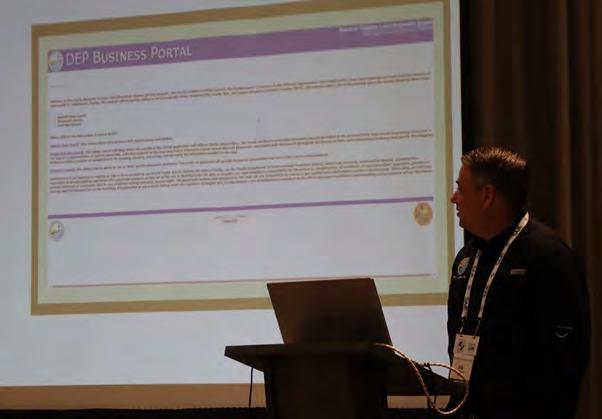
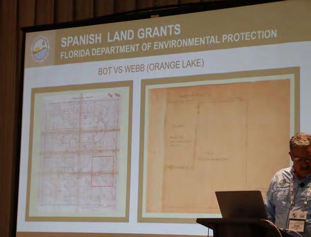

Database (BTLDS) Instructors: Scott Woolam, PSM &
Eric Sellers, PSM


SATURDAY SEMINARS
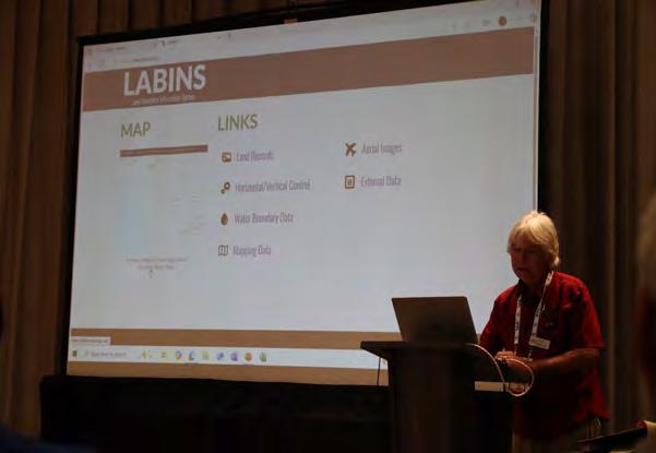
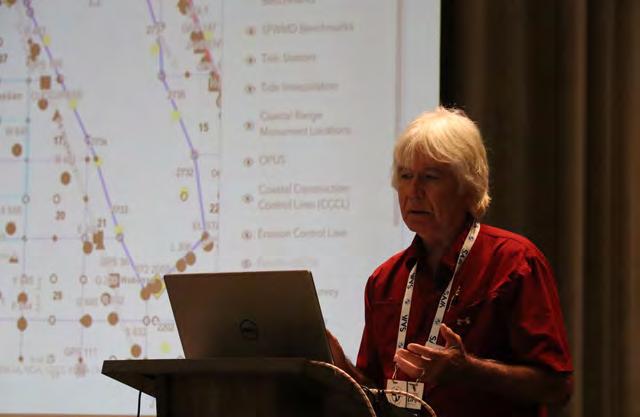
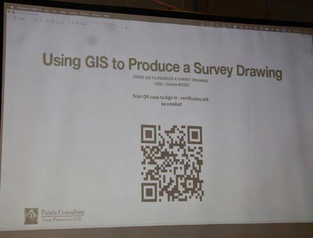
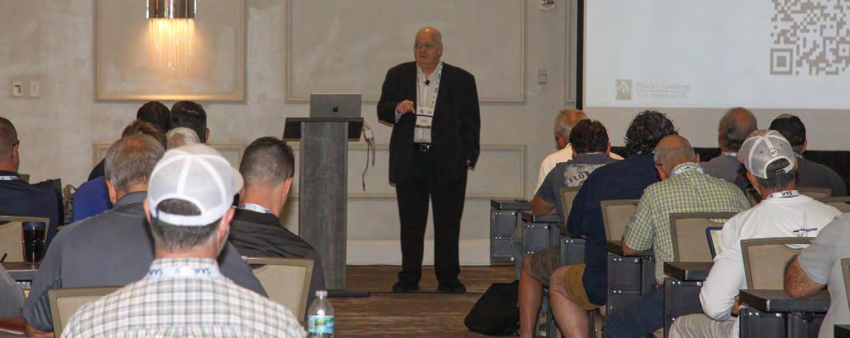
Using GIS to Produce a Survey Drawing Instructor: Frank Conkling, PSM GISP

SEMINARS
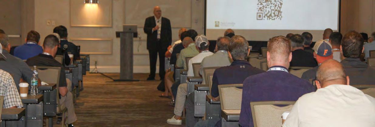
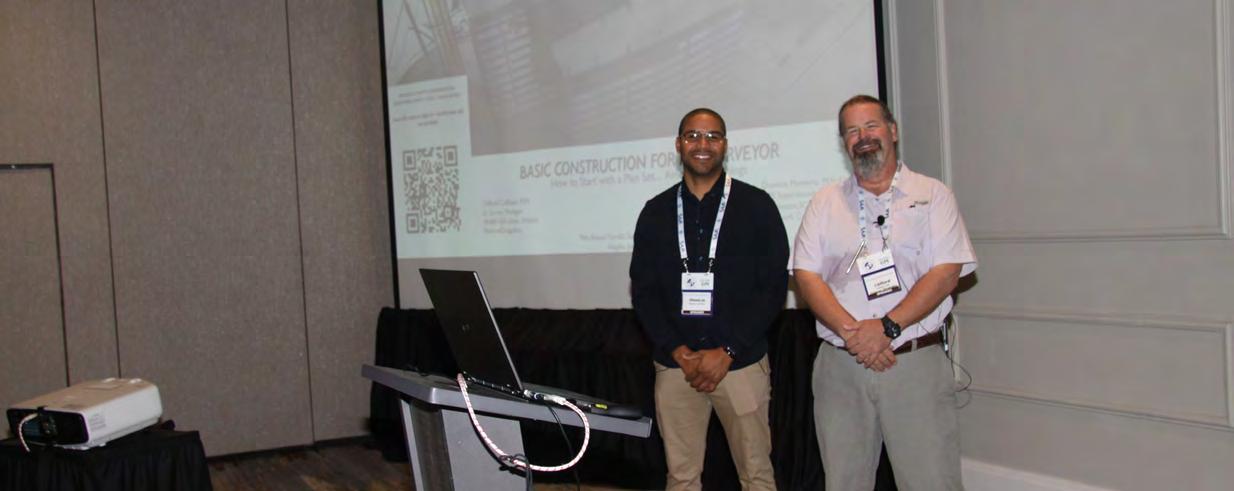
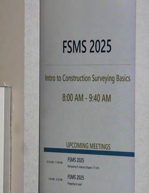
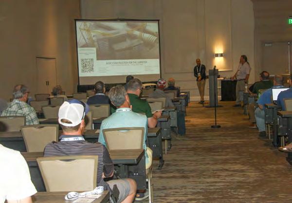
Introduction to Construction Surveying Basics
Instructors: Clifford Culhane, PLS, PSM / Dionicio Montero, FAA Pilot

SATURDAY SEMINARS
The FDOT RW Map - Purpose and Benefits to the Agency and the Surveying
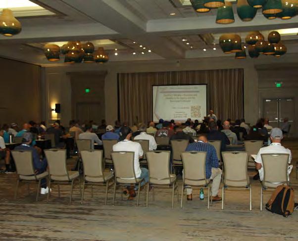
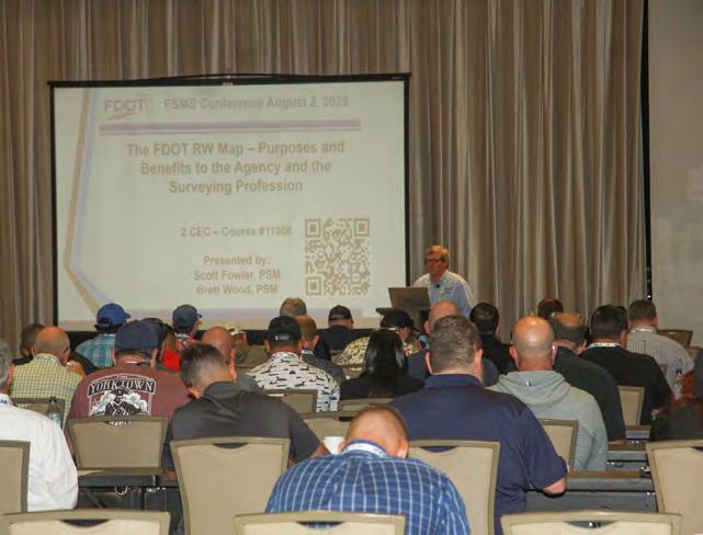

SEMINARS
Surveying Profession Instructors: Brett Wood, PSM and Scott Fowler, PSM


SATURDAY SEMINARS
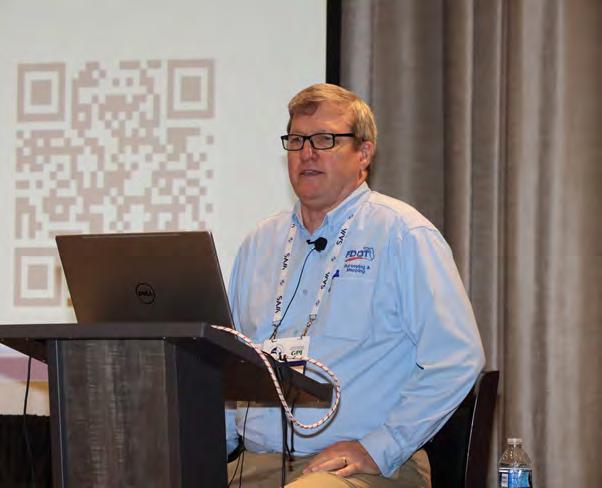
Surveying & GIS - Infrastructure Geospatial Partnership Instructor: Richard
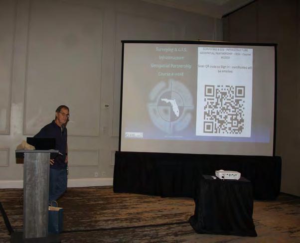
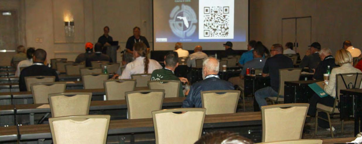
Richard Pryce, RLS, PSM
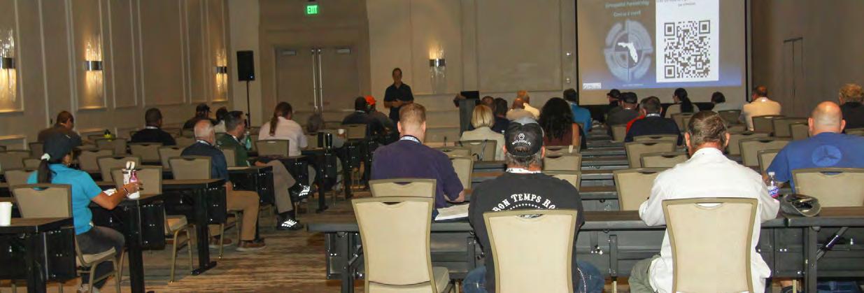
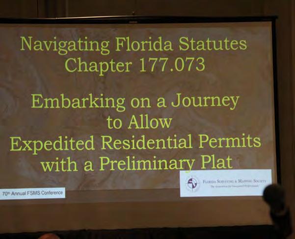
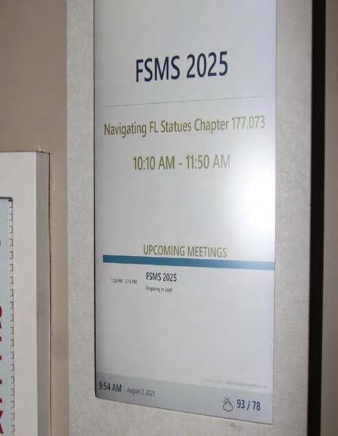
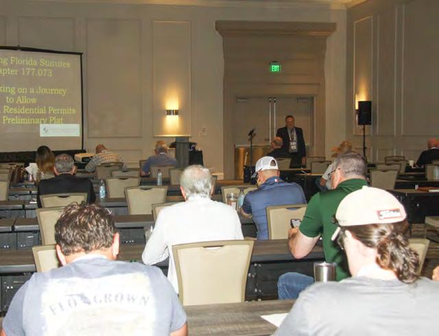
Navigating Florida Statutes Chapter 177.073Embarking On A Journey to Allow Expedited Residential Permits With A Preliminary Plat Instructor: Matthew Kalus, GISP-R, PSM, PE


SATURDAY SEMINARS
Legal Topics for Professional Land Surveyors Instructors: Stacey
D. Lyle, PhD,
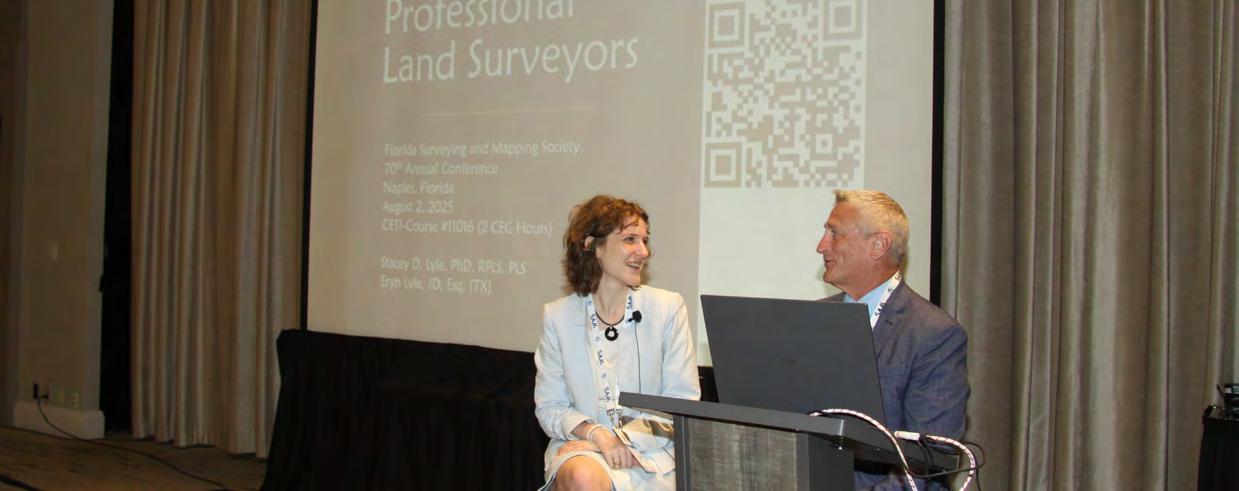


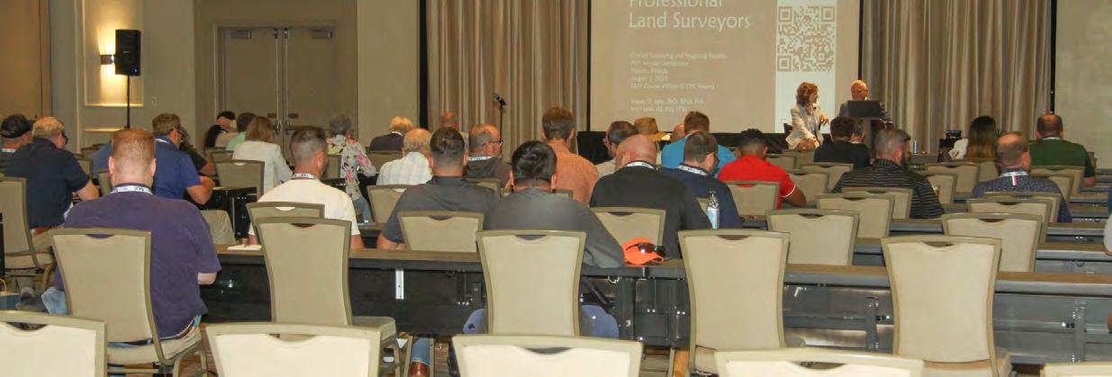
PLS and Eryn Lyle, JD
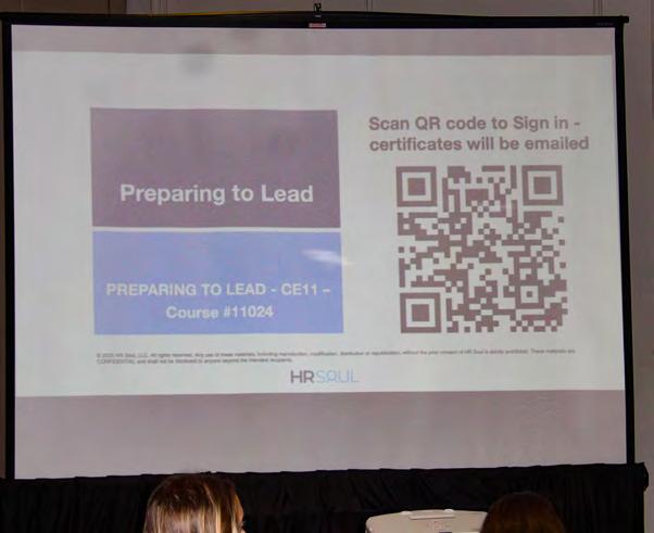

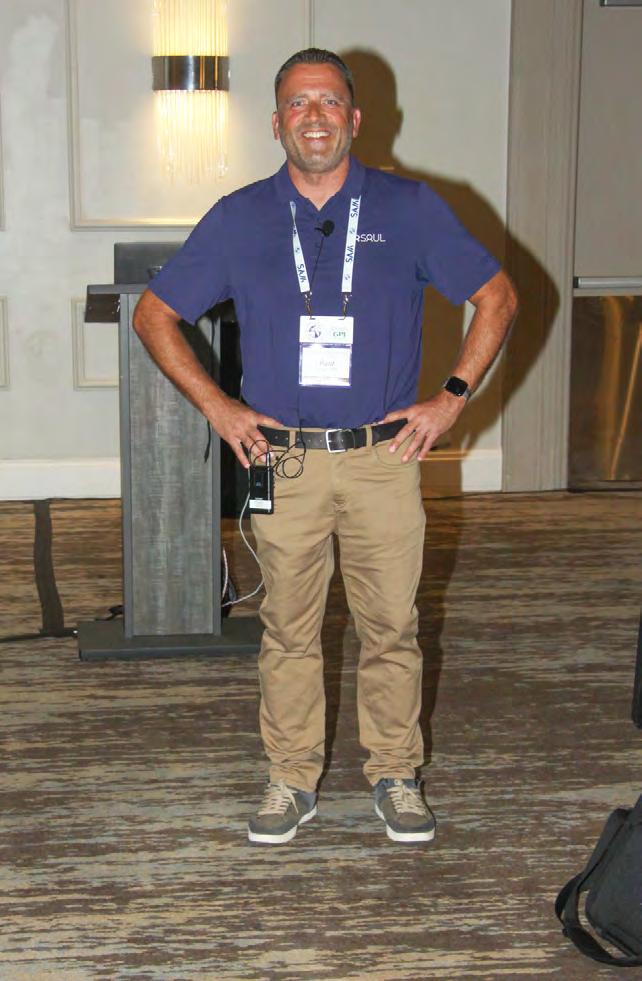
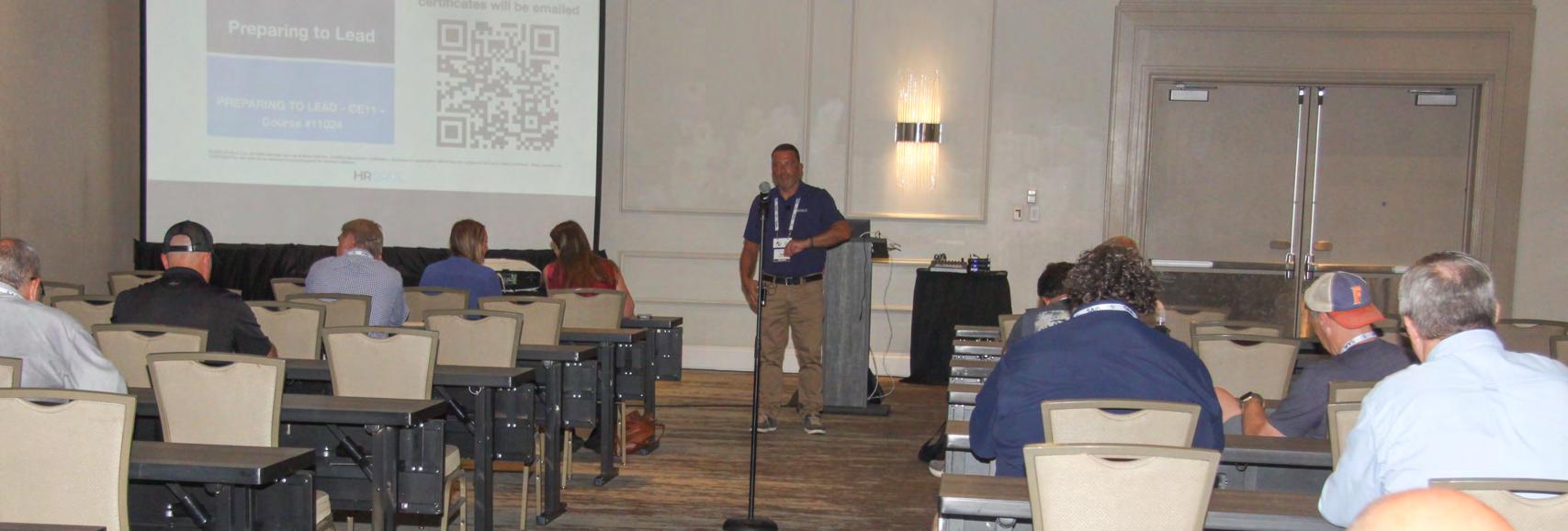
Preparing to Lead Instructor: Paul Cortissoz, SPHR
SATURDAY SEMINARS
It Takes Time to Get Oriented Instructor: Brion Yancy, PSM


SATURDAY SEMINARS
It Takes Time to Get Oriented Instructor: Brion Yancy, PSM


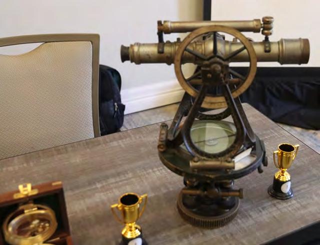
JUST FOR FUN!


FUN!


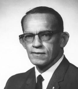
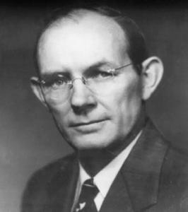
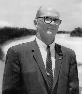
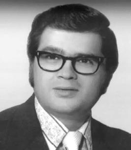
Past Presidents

1956 - 1957
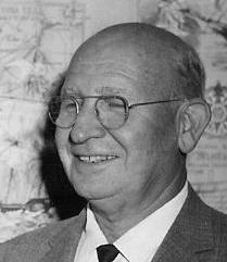
H.O. Peters
1960 - 1961
Hugh A. Binyon
1964 - 1965
James A. Thigpenn, III

1957 - 1958
C.
1961 - 1962
Russell H. DeGrove
1965 - 1966
Harold A. Schuler, Jr.

1958 - 1959
P. Goggin

1962 - 1963
Perry C. McGriff
1966 - 1967
Shields E. Clark

1959 - 1960
1963 - 1964
Carl E. Johnson

1967 - 1968
Maurice E. Berry
Harry
Schwebke
John
R.H. Jones
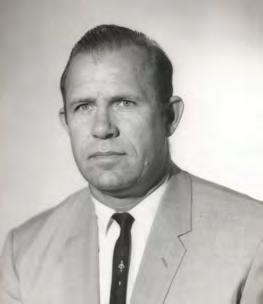
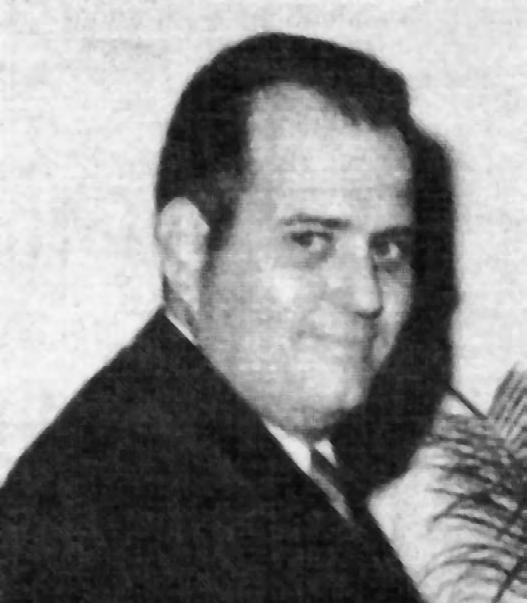
Past Presidents

1968 - 1969
C. Hart

1972 - 1973
Broward P. Davis

1976 - 1977
Robert S. Harris
1969 - 1970

1973 - 1974
E.R. (Ed) Brownell


1970 - 1971

1974 - 1975
E.W. (Gene) Stoner


1971 - 1972

1975 -1976
Lewis H. Kent

Robert W. Wigglesworth
William
Frank R. Shilling, Jr.
William V. Keith
James M. King
Past Presidents
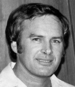
1980 - 1981
Ben P. Blackburn
1984 - 1985
Buell H. Harper

1988 - 1989
Stephen G. Vrabel

1981 - 1982
William B. Thompson, III

1985 - 1986
H. Bruce Durden

1989 - 1990
W. Lamar Evers
1982 - 1983
John R. Gargis
1986 - 1987
Jan L. Skipper

1990 - 1991
Joseph S. Boggs

1983 - 1984
Robert A. Bannerman
1987 - 1988
Stephen M. Woods
1991 - 1992
Robert L. Graham
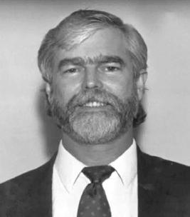
Past Presidents

1992 - 1993
D.
1995 - 1996
Thomas L.
1999 - 2000 Jack Breed

1993 - 1994

1996 - 1997
R.

- 1995

1997 - 1998
E.

1998 - 1999
Nicholas
Miller
Loren E. Mercer 1994 -
Robert D. Cross
Kent Green
Gordon
Niles, Jr.
Dennis
Blankenship
W. Lanier Mathews, II
Connor
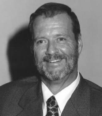
Past Presidents


Stephen M. Gordon
Richard G. Powell
Michael J. Whitling 2007
Robert W. Jackson, Jr. 2008 -
Pablo Ferrari
Steve Stinson
Dan Ferrans 2011
Jeremiah Slaymaker
Ken Glass
Russell Hyatt
William Rowe 2003 -
David W. Schryver
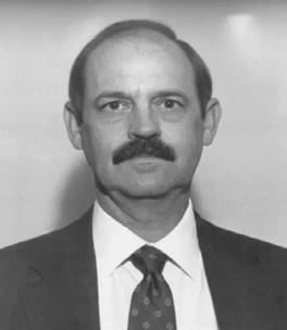
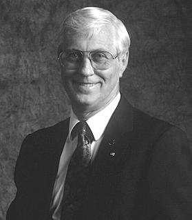
Past Presidents

2015 - 2016

2019 - 2020

2024 - 2025

2016 - 2017

2020 - 2021

2017 - 2018

2021 - 2022

2018 - 2019

2022 - 2024
Lou Campanile, Jr.
Robert Strayer, Jr.
Dianne Collins
Don Elder
Richard Pryce
Hal Peters
Lou Campanile, Jr.
Howard Ehmke
Dale Bradshaw


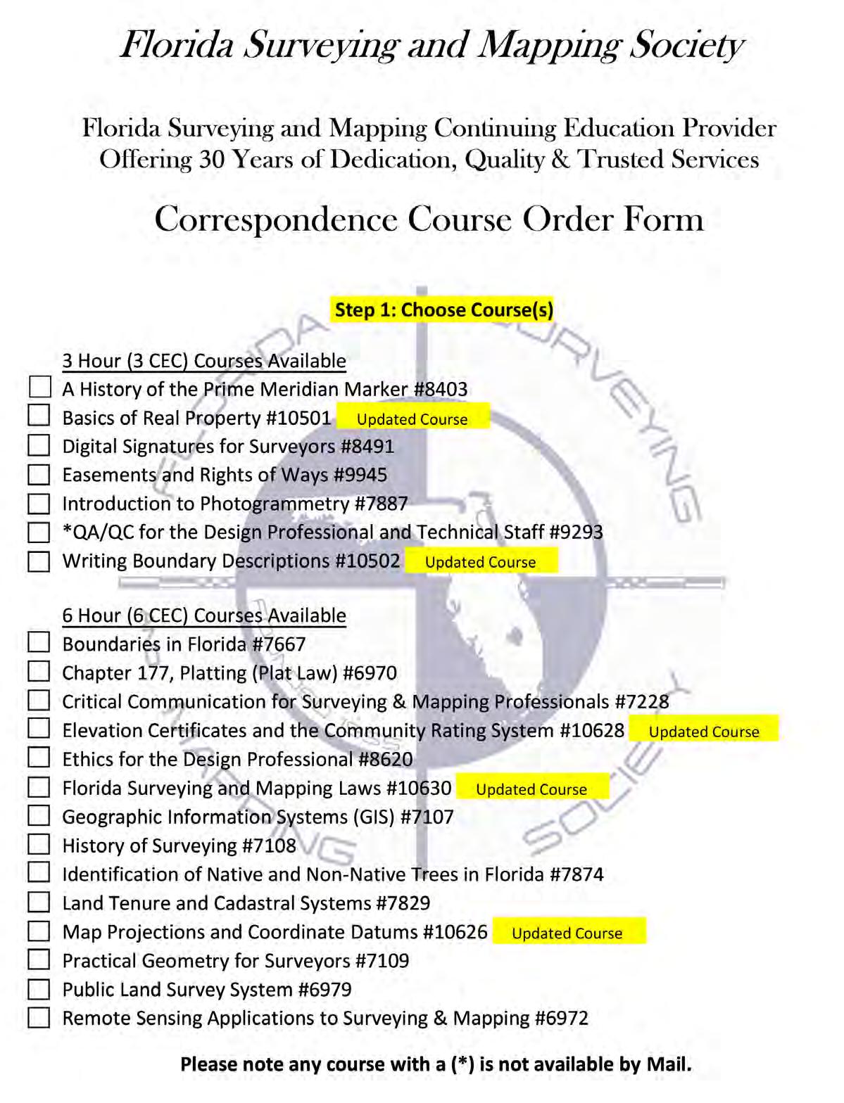
The Florida Surveying and Mapping Society has an eLearning Platform that is linked to your FSMS membership account .
When accessing the eLearning platform, use your FSMS membership username and password to log in. (Not Available for Sustaining Firm Memberships)
As always, Correspondence Courses are available by mail or email.
Updated Correspondence & eLearning Courses:
• Writing Boundary Descriptions
• Basics of Real Property
• Map Projections and Coordinate Datums
• Elevation Certificates and the Community Rating System
• Datums (eLearning Video Course)
• FL Surveying and Mapping Laws
Please email communications@fsms.org to notify us

Advertise With Us!
All advertisements contained within the publication are published as a service to readers. Publication of the advertisements does not imply or express any endorsement or recommendation by FSMS.
Benefits: Full color; hyperlinks added to your webpages as well as email addresses.
Requirements: Contracts for one year (11 issues) receive 10% discount if paid in advance; 15% for Sustaining Firms. (Ads should be in jpeg, pdf, or png format)
New ads and/or changes are due by the 25th of each month.
Questions? Call our office at (850) 942-1900 or email at communications@fsms.org