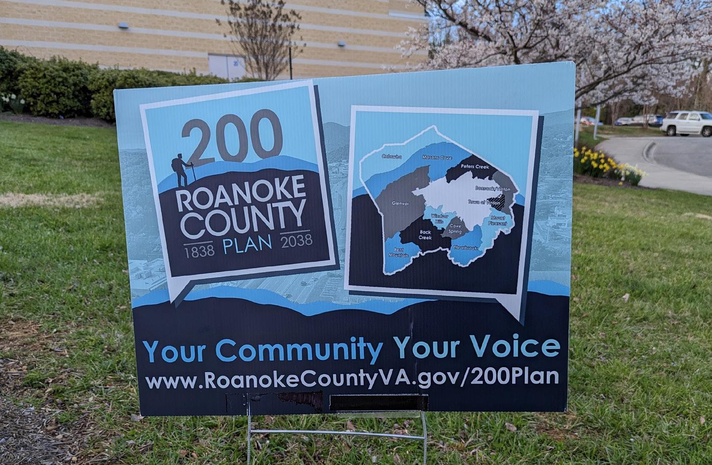


Windsor Hills Community Planning Area
September 24, 2024
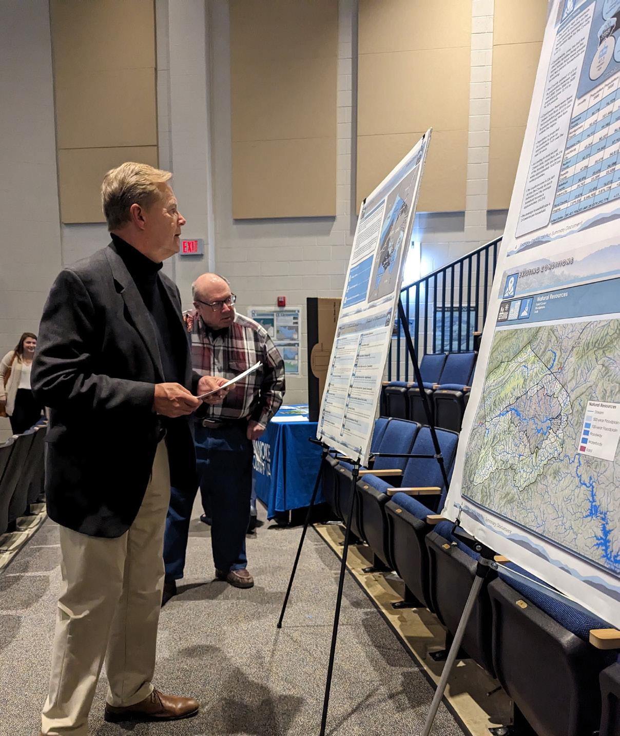
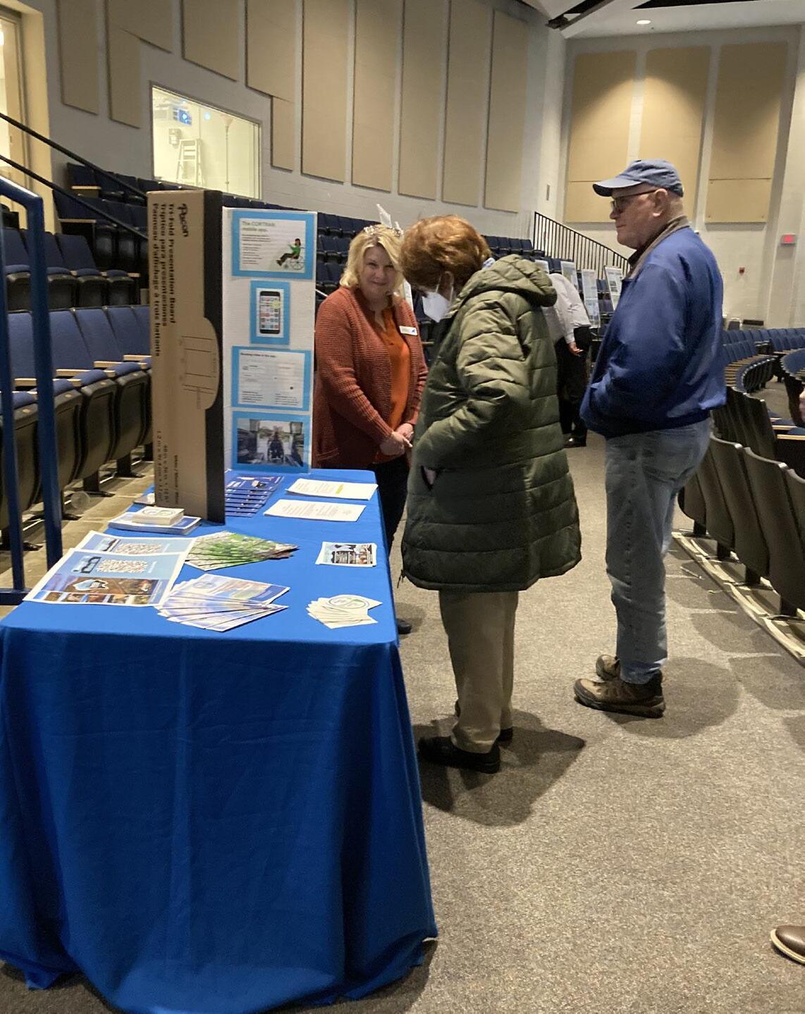
INTRODUCTION
This Plan Summary highlights the key components of the various sections of the Windsor Hills Planning Area. The Existing Conditions section features the study area’s demographics, community facilities, natural resources, cultural resources, land use, zoning, and the people that participated in the Plan’s development.
The Windsor Hills Community Planning Area’s goals were inspired by public input and used to develop the Plan’s recommendations in the County’s Comprehensive Plan Update. Implementation of this Plan will be completed over the next 15 years.
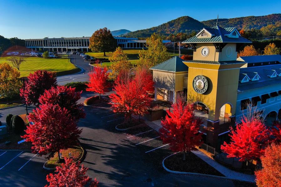
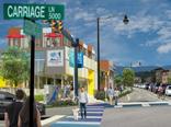
Oak Grove Center Plan (2021)
The Oak Grove Center Plan was adopted by the Board of Supervisors on March 23, 2021, as a component of the Roanoke County Comprehensive Plan. The Oak Grove Center Plan is also a component of this Windsor Hills Community Planning Area Summary Document.


Natural & Cultural Resources
Protect and improve ground, surface and stormwater resources; beautify public areas, viewsheds and roadways; clean up garbage; protect steep slope areas; and protect forests, natural areas, and wildlife habitats.
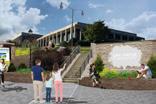
Parks, Recreation & Tourism
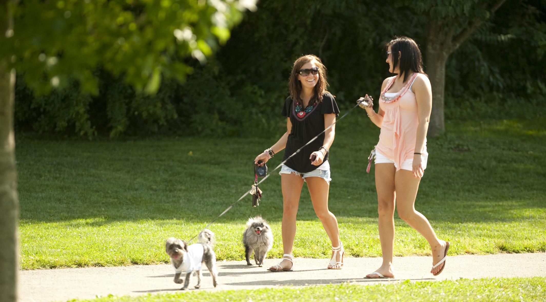
Promote Park Partners Program; evaluate opportunities for parks & greenways/trails; increase trail connections as shown in the Roanoke Valley Greenway Plan; and evaluate park, trail and blueway options.
General Services
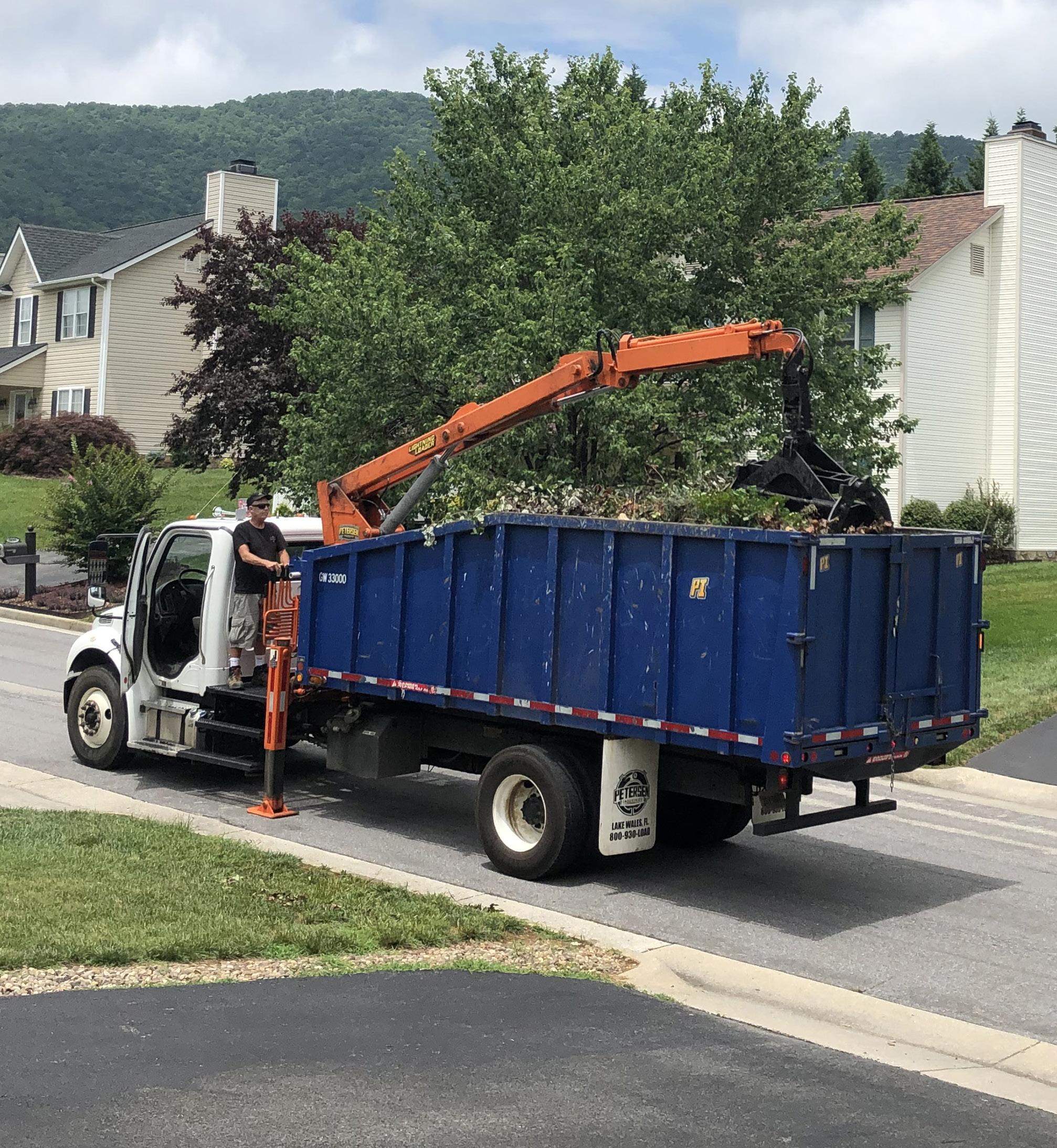
Support recycling options and implement recommendations from the assessments of County Fire Department Facilities and the Administration Center.
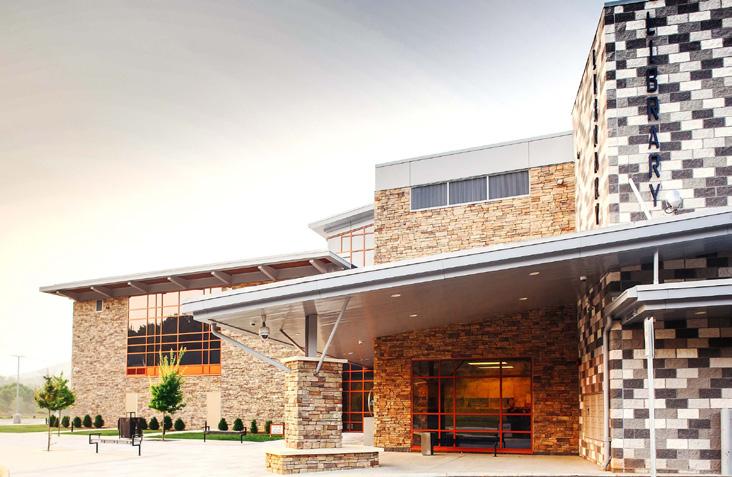
Libraries
Improve service and enhance existing facility; evaluate programming needs from consumer feedback that serve people of all ages and backgrounds; raise level of engagement with the community; and ensure timely delivery of all circulating materials.
Communications & Technology
Expand and improve high-speed broadband access and cell phone service availability in underserved areas.
Public Safety
Provide efficient delivery of public safety services with minimal response times; enhance public safety staffing; enhance facilities and equipment; and provide a high-level of citizen engagement and education opportunities.
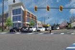
Transportation (Roads)
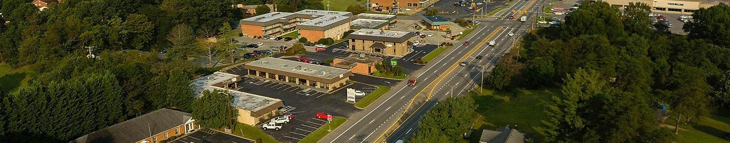
Study and improve Route 419/Electric Road for all users, in collaboration with VDOT, the City of Roanoke and City of Salem.
Transportation (Roads)
Initiate a Route 221/Brambleton Avenue Multimodal Safety Study, in collaboration with VDOT, to determine improvements to reduce crashes and improve safety.
Transportation (Pedestrian Accommodations)
Continue to install pedestrian signals and crosswalks at intersections along Route 419/Electric Road.
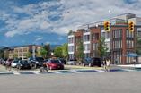
Land Use
Amend the Future Land Use Map to preserve the residential character of Windsor Hills and promote economic development. Continue to implement the Oak Grove Center Plan. Develop a Plan for the Cave Spring Corners Activity Center.

E
Location, Context, and Boundary
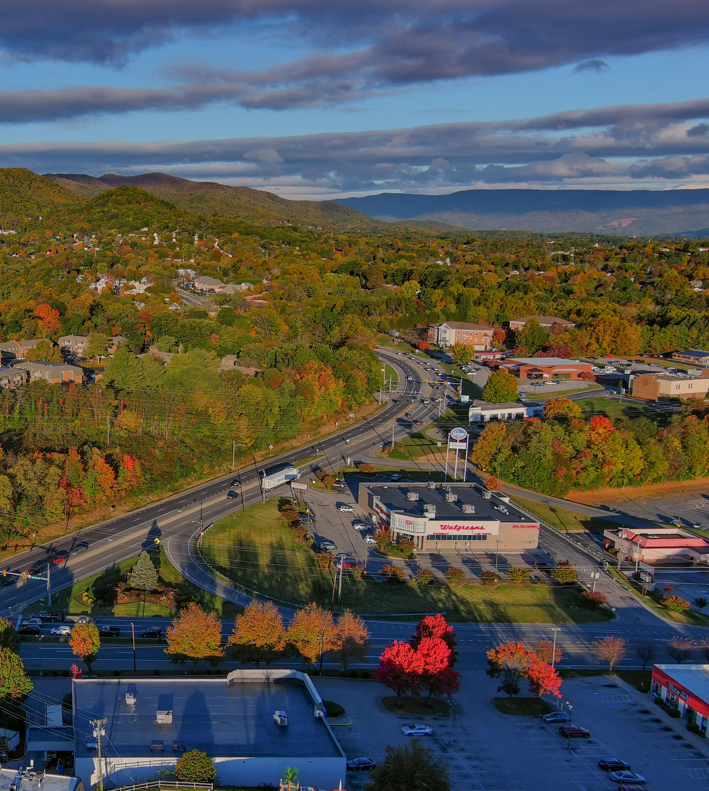
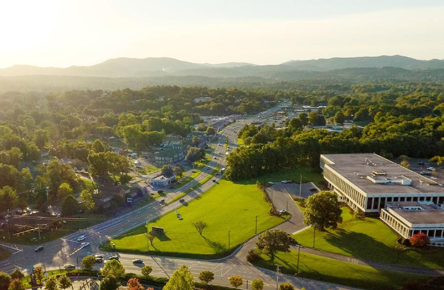
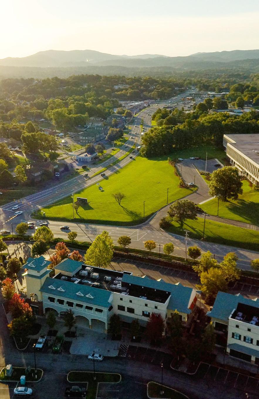
The Windsor Hills Community Planning Area (CPA) is located in the south central part of Roanoke County. It is bordered to the north by the City of Roanoke and the City of Salem, to the east by the Cave Spring CPA, to the south by the Back Creek CPA, and to the west by the Glenvar CPA. The study area encompasses 5,767 parcels totaling approximately 6,170 acres. The Windsor Hills Community Planning Area is home to approximately 14,600 people.
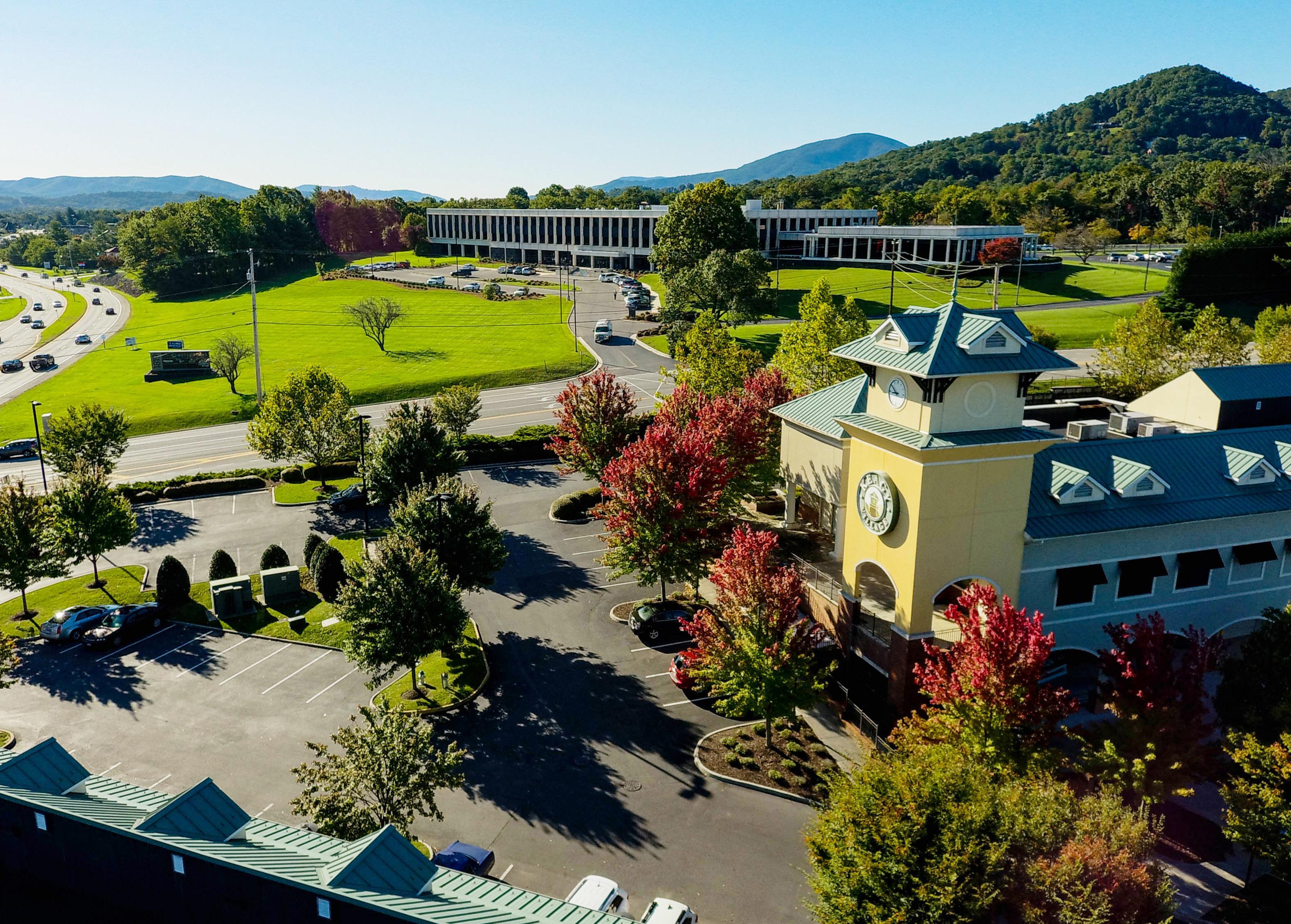
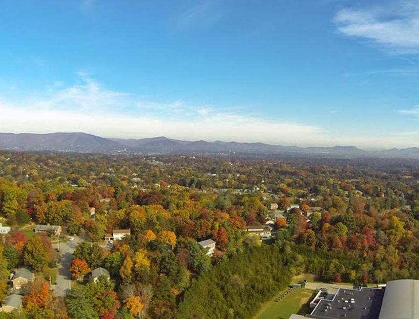
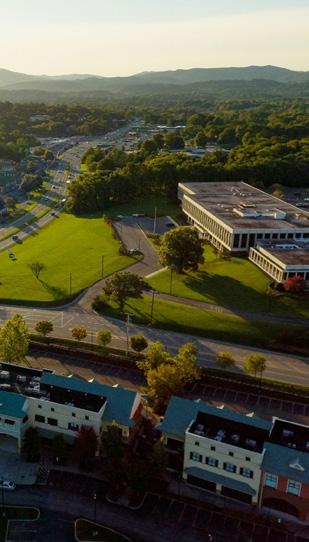
Windsor Hills Planning Area is a hub of commercial activity, particularly along Routes 221 and 419 including the Oak Grove Center. This planning area has many amenities including Sugar Loaf Mountain Nature Preserve and Poor Mountain State Natural Area Preserves. The CPA is bordered by Route 221 to the east and is transected by Route 419. It is conveniently located adjacent to the City of Roanoke and the City of Salem.
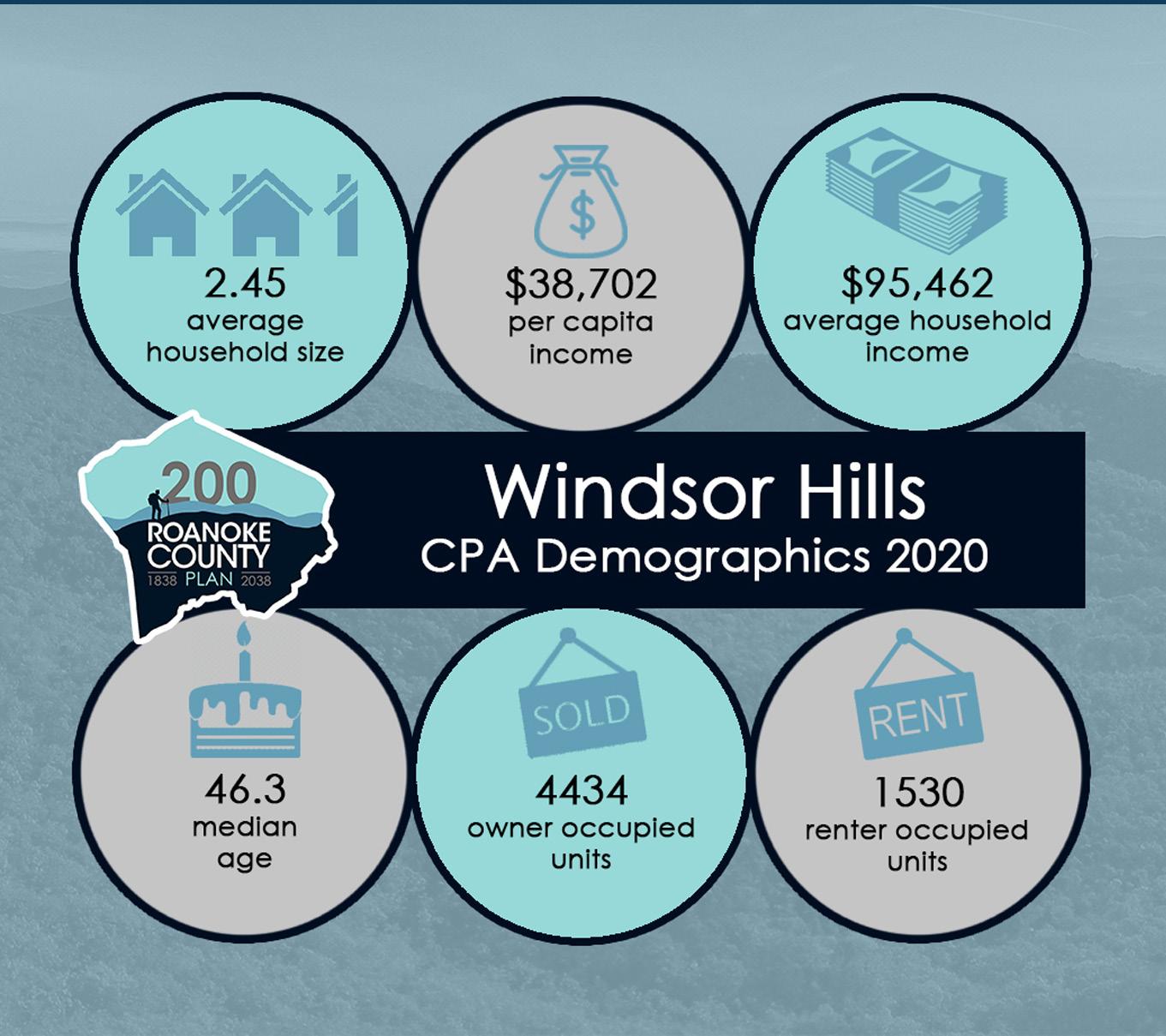
Demographic Trends
Source: 2019 US Census Data ,
• The median age of residents continues to increase as the baby boomer generation ages. The median age in Windsor Hills is 46.3 years.
• Countywide, over the last few decades families living in the same house have fewer people, and two-person households are increasing.
• Population in Windsor Hills grew 27% from 1983 to 2010, and 2% from 2010 to 2020 to 14,608 people. Countywide there were fewer babies born from 2010 to 2020, but population grew 4.9% due to people moving here from outside the County.
• According to most recent Census data, more than 78% (4,434) of the housing units are owned, while approximately 22% (1,530) are rental properties.
• Per capita income is around $38,700 in the Windsor Hills CPA for each individual and the average household income is approximately $95,460.
• The average household size is 2.45 persons per household.


E
Natural Resources
Topography
Hydrology
Floodplains
Soils
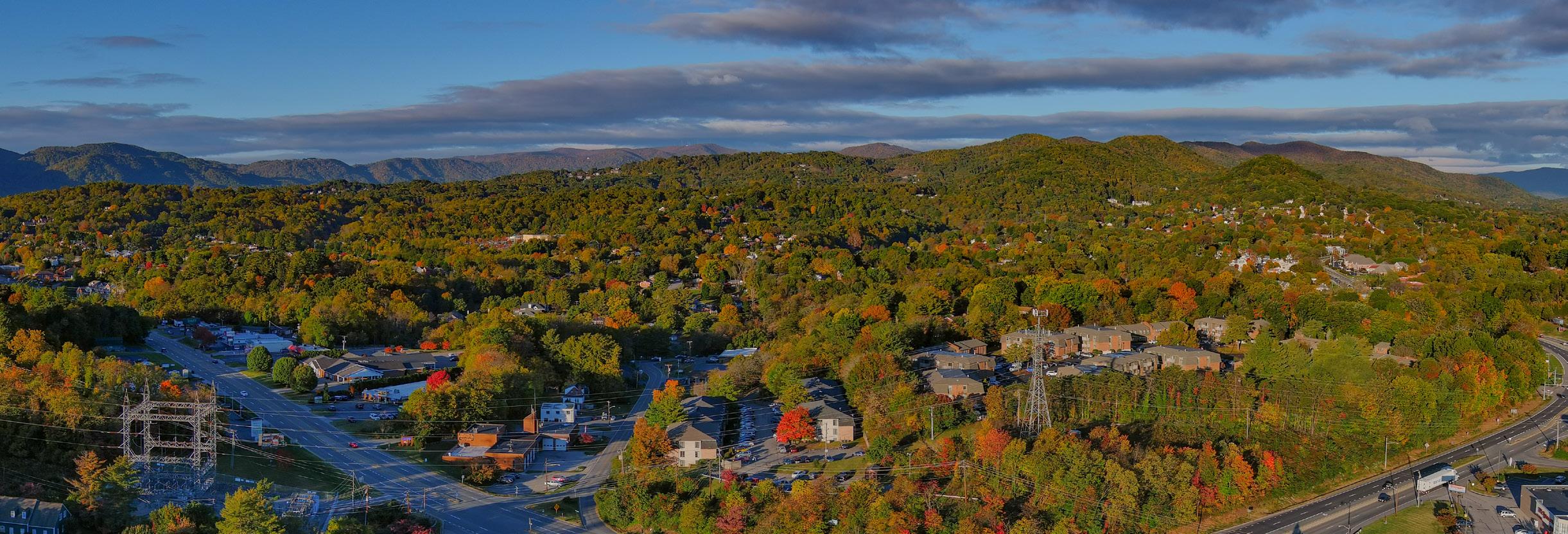
In Windsor Hills, both the Barnhardt Creek and Mudlick Creek have experienced significant erosion, which causes increased pollution and sedimentation in streams and rivers. Several wooded land preserves were donated to Roanoke County or the Commonwealth of Virginia to help protect the area’s watersheds. The Western Virginia Water Authority’s 30-acre parcel on Sugar Loaf Mountain Road and Roanoke County’s 46-acre Sugar Loaf Mountain Nature Preserve help to protect the Mudlick Creek watershed. Poor Mountain State Natural Area Preserve includes over 900 wooded acres which help protect the Barnhardt Creek and Roanoke River watersheds. Approximately 35% of the land in this CPA is calculated as having a “steep slope,” greater than 33%.
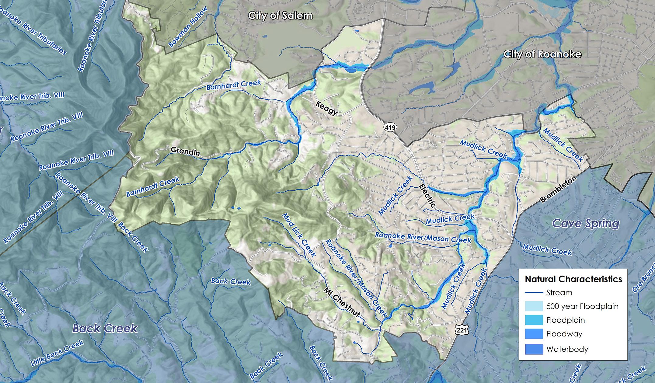
148 acres, or 2.4% of all total land in the Windsor Hills CPA, is located within the 100-year floodplain. An additional 35 acres (0.6%) are located within the 500-year floodplain. One of the major flooding problems on Barnhardt Creek is upstream of Electric Road - State Route 419 in the Farmingdale subdivision (located between Route 685 and Route 419 at the junction of Roanoke County, the City of Salem and City of Roanoke) along Lakemont Drive. The Meadow Creek subdivision located in southwest Roanoke County, also experiences house flooding both upstream and downstream of Meadow Creek Drive (off of Route 686). There are several areas of house flooding on Mudlick Creek which are scattered along the stream. One of the major flooding areas is along South Park Circle in the Southwoods subdivision (northwest of the intersection of Garst Mill Road and Halevan Road in Roanoke County). Flooding on Mudlick Creek near Garst Mill Road and Grandin Road has caused repetitive losses for nearby properties. Mudlick Creek is an impaired stream due to bacteria and sediment.

E X I S T I N G C O N D I T I O N S

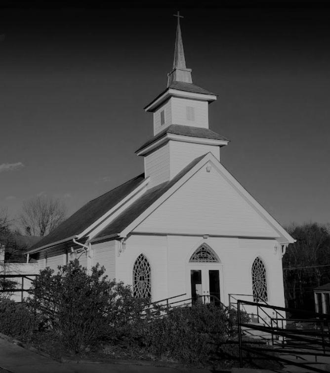
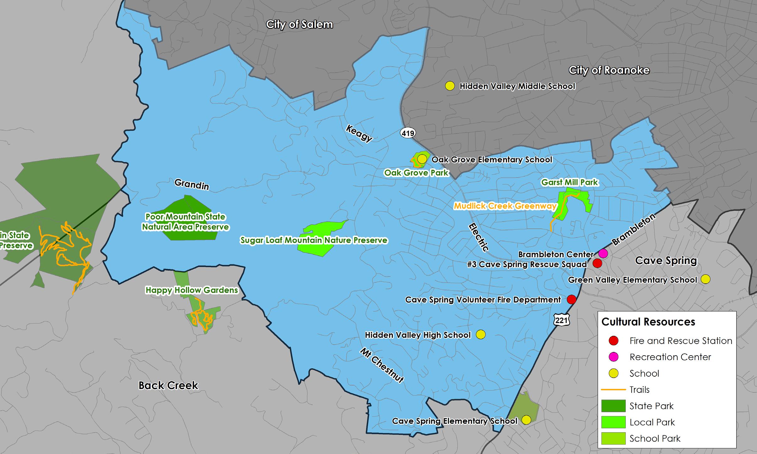
The Windsor Hills CPA is home to numerous historic resources including homes, churches (the former Cave Spring Methodist and the current Bethel AME Church on Brambleton Avenue) and private cemeteries. Cultural Resources
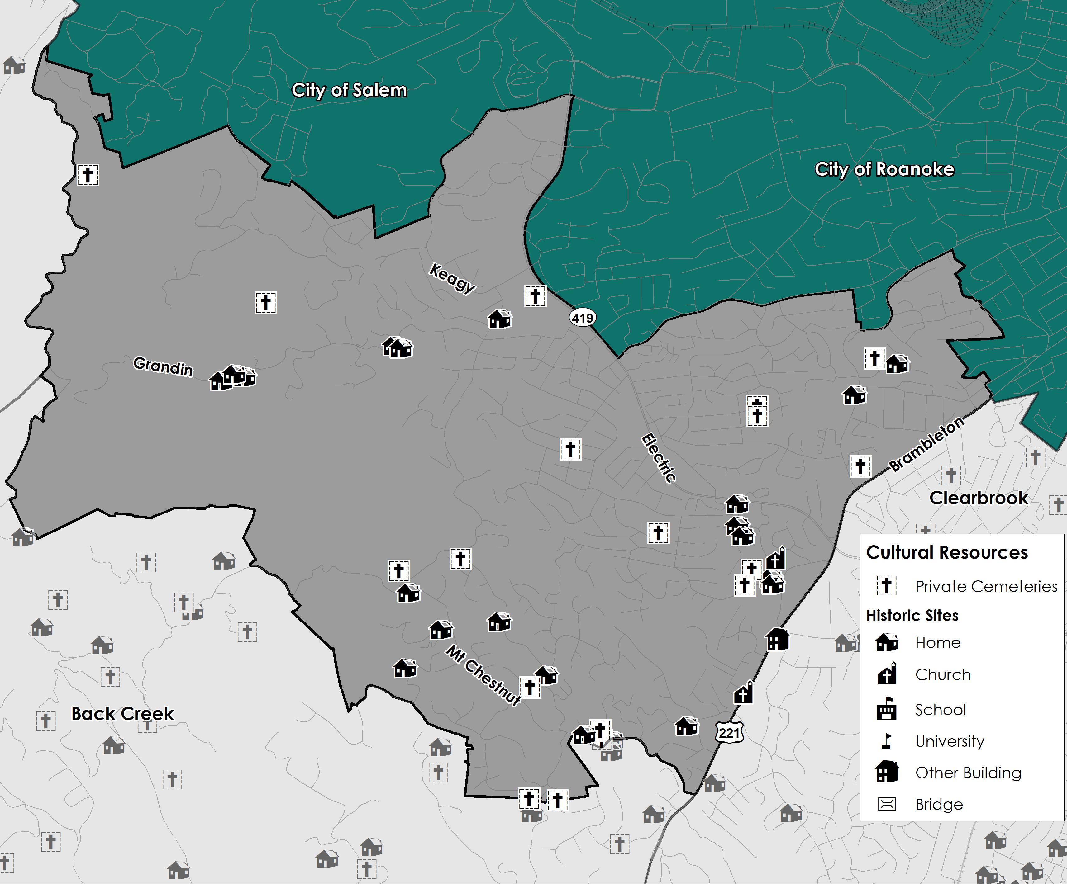
Source: Historical Architecture Reconnaissance Survey Report (1992) and National Register of Historic Places


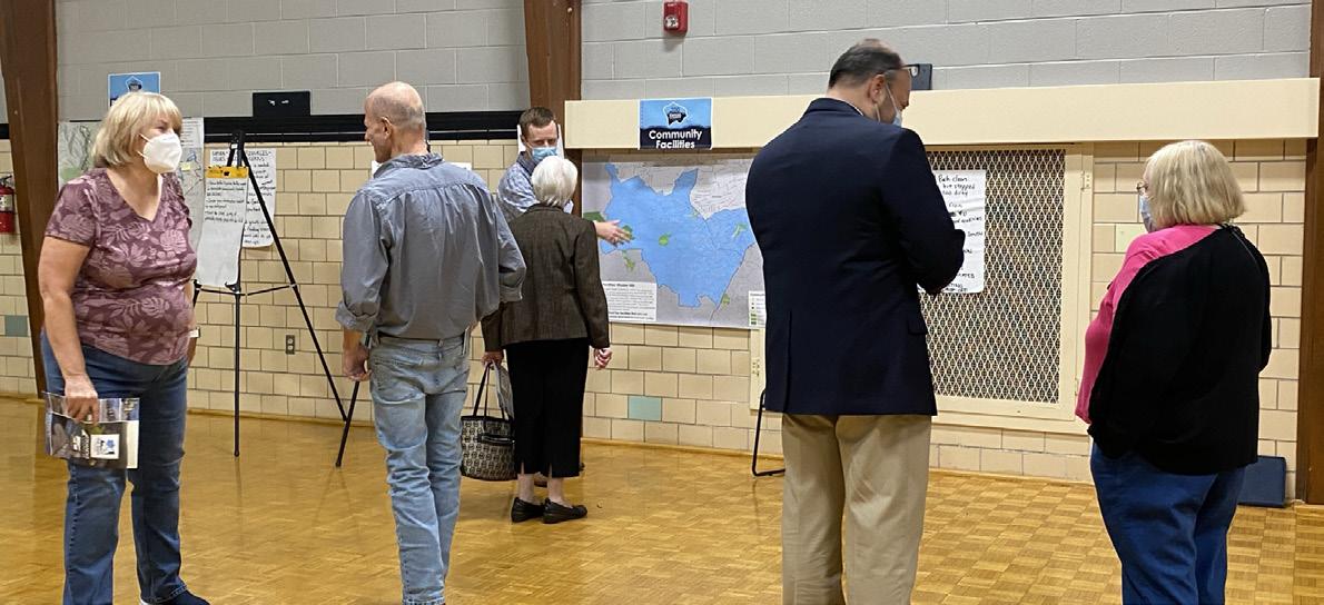
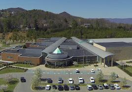
Community Facilities
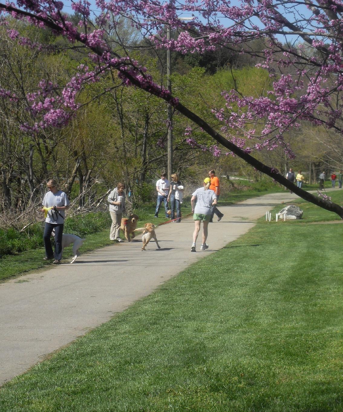
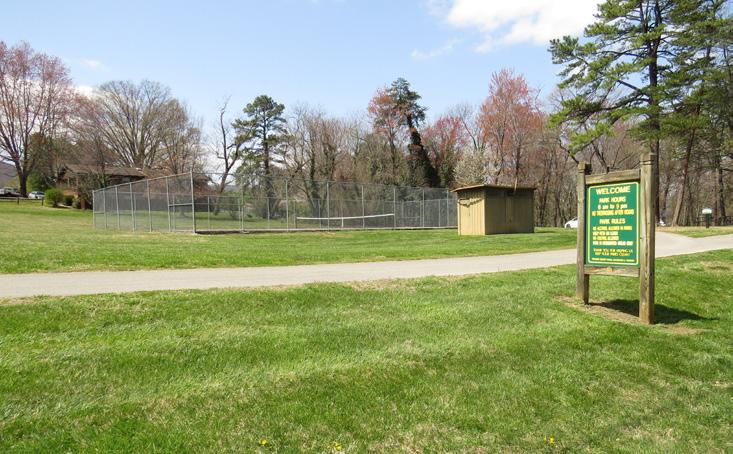
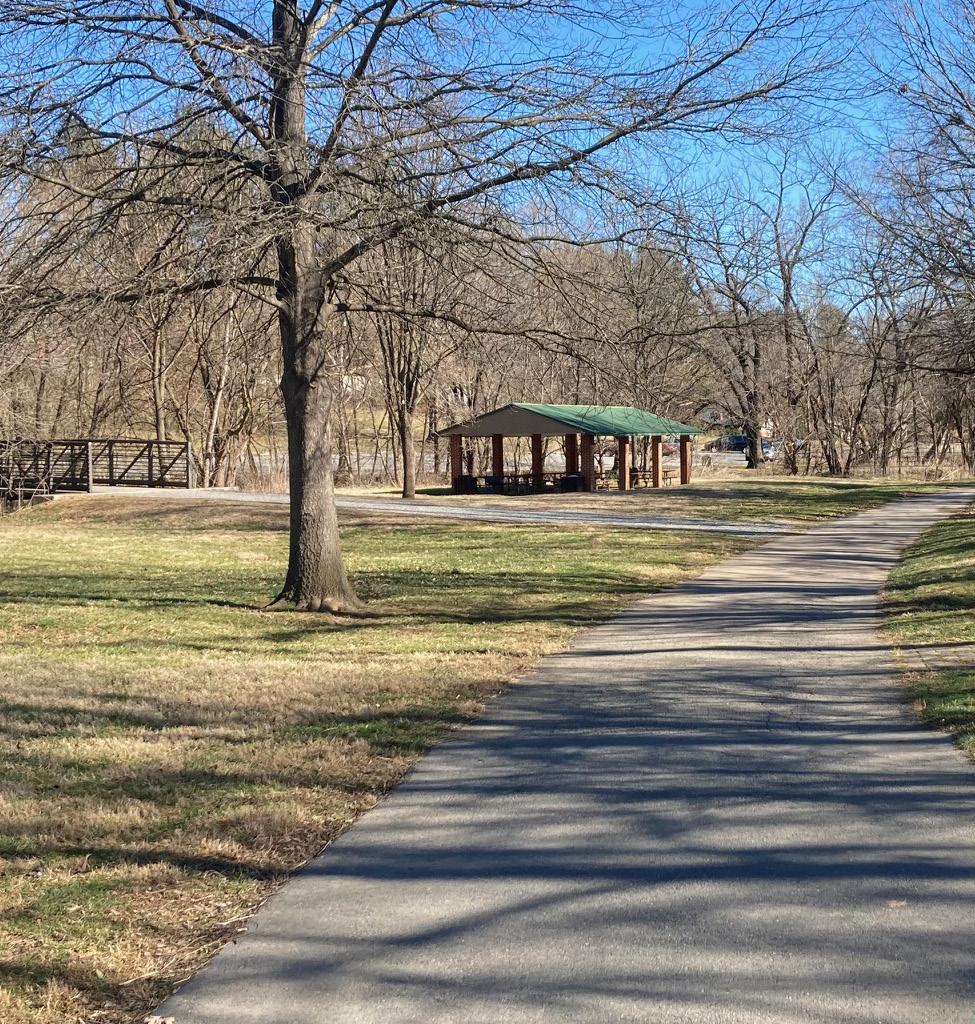
Windsor Hill’s own Mudlick Creek Greenway, which runs along Mudlick Creek, was the first paved greenway built in the Roanoke Valley. Garst Mill Park, Oak Grove Park and Hidden Valley Country Club are other popular recreation spaces in this CPA.
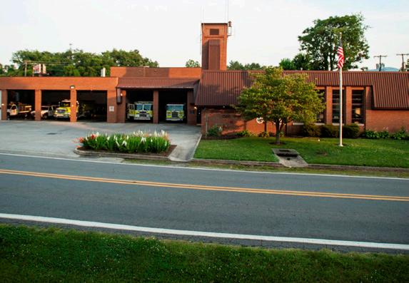
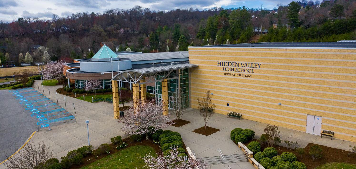
Windsor Hills is also home to Hidden Valley High School, which opened in 2002 as the fifth high school in the Roanoke County Public Schools system. Schools serving the Windsor Hills area are under enrollment capacity. This is consistent with most Roanoke County Public School trends. Oak Grove Elementary School, Green Valley Elementary School, Cave Spring Elementary School, Hidden Valley Middle School and Hidden Valley High School are all under maximum capacity. Windsor Hills is served by nearby South County Library in the Cave Spring Community Planning Area. The South County Library offers a variety of services for adults, teenagers, children and families. The area is served by the Cave Spring Volunteer Fire Department and #3 Cave Spring Rescue Squad. Of the 11 Roanoke County Community Planning Areas, Windsor Hills ranks in the higher half for Fire-EMS and Police service calls.

E X I S T I N G C O N D I T I O N S


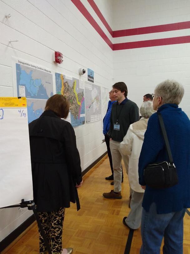
Transportation
Roads
Transit
Greenways/Trails
Bicycle & Pedestrian Accommodations
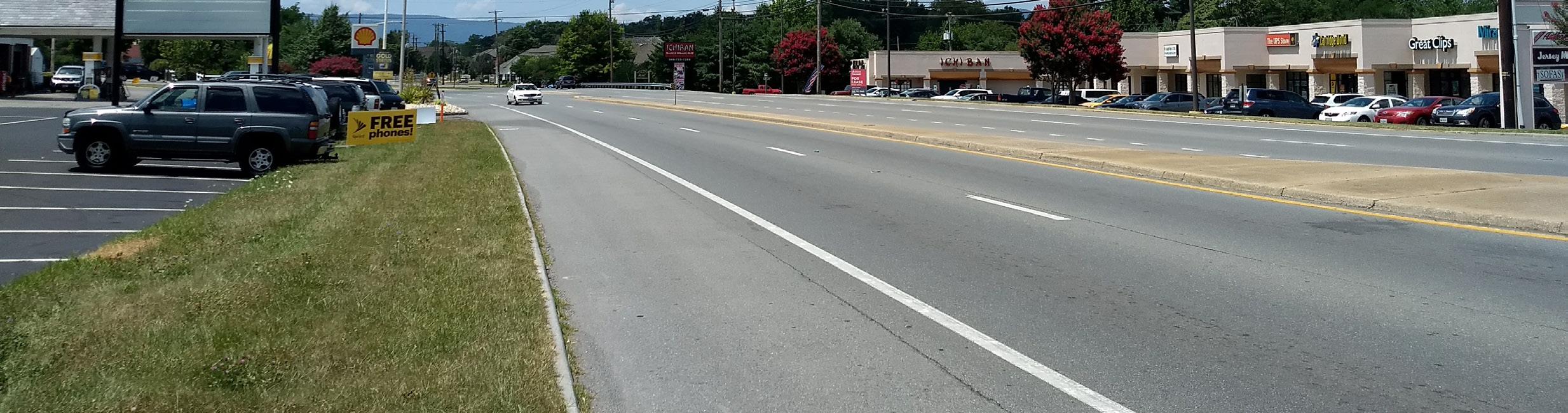
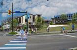
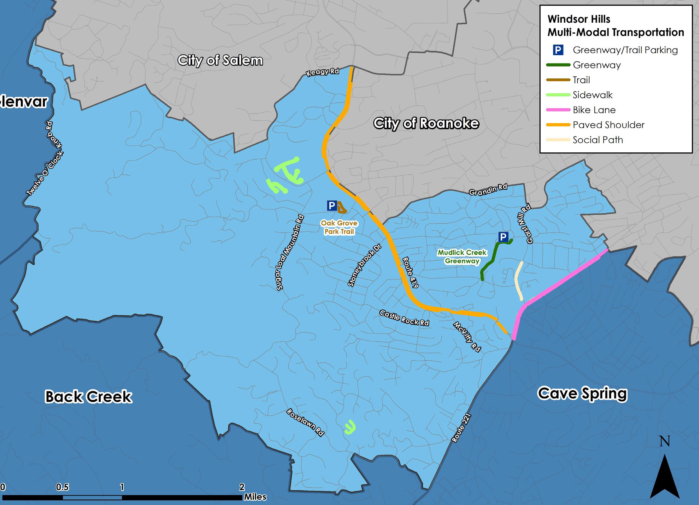
The Windsor Hills CPA is home to a few options for bicyclists and pedestrians, though connectivity remains an issue. Most of the portion of Route 419 that runs through Windsor Hills is augmented by paved shoulder on both sides.
Bike lanes line both sides of Route 221 (Brambleton Avenue) between Route 419 and the City of Roanoke. The Route 419/ Route 221 intersection currently presents a major obstacle for pedestrians and cyclists seeking to connect these two resources, but crosswalks will be added to this intersection within the next few years. Both of the CPA’s parks contain popular pedestrian paths - the Mudlick Creek Greenway in Garst Mill Park and the Oak Grove Park Trail in Oak Grove Park. Three subdivisions in Windsor Hills are outfitted with sidewalks.
Transportation cont.
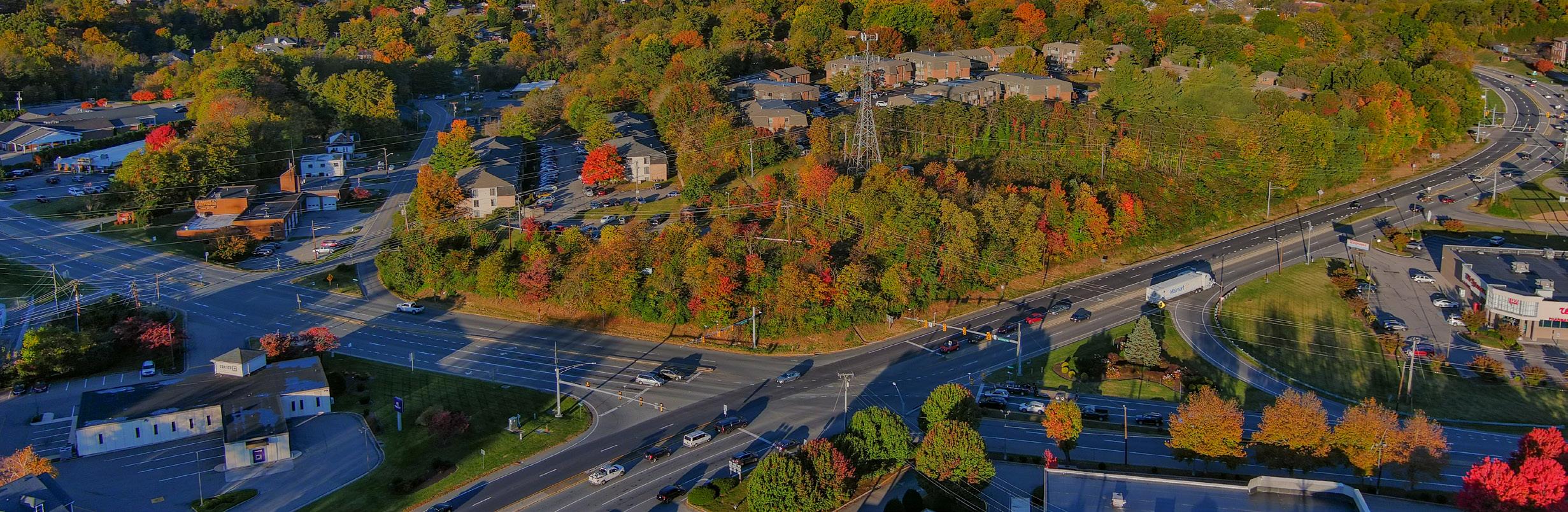
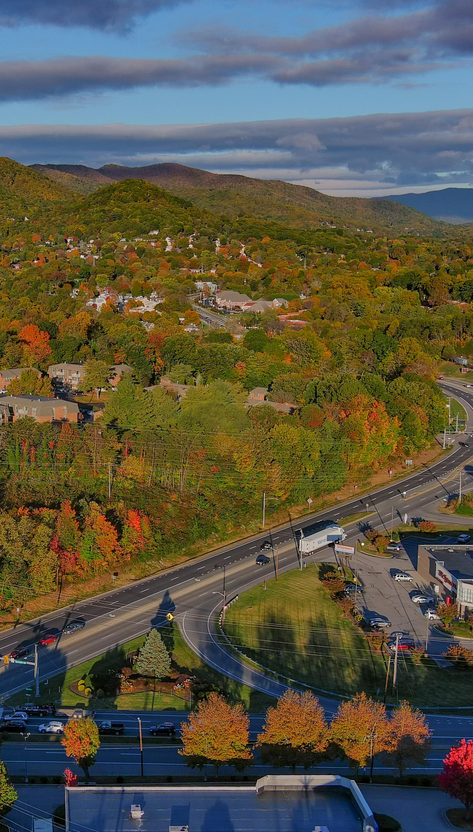
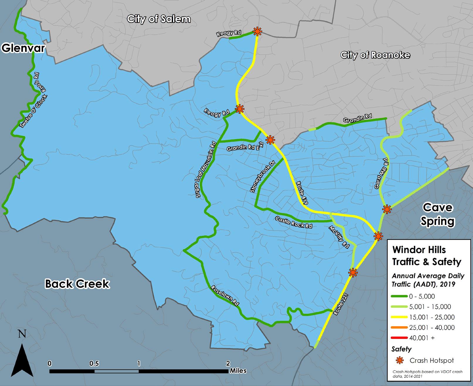
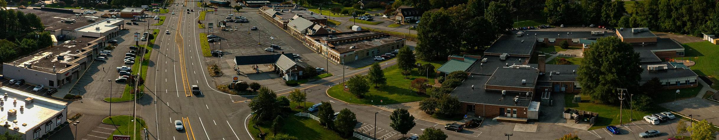
Route 419, Electric Road, is the busiest road in the Windsor Hills CPA with over 21,000 trips per day between the City of Salem and Route 221, Brambleton Avenue. The second busiest roadway is Route 221 between Route 419 and Arlington Hills Drive just south of Cave Spring Middle School, with almost 21,000 trips per day. Over 60 percent of all crashes in the Windsor Hills CPA took place on Route 419 and on Route 221. Crash hotspots are located at signalized intersections on both roadways.
Route 419 has paved shoulders through much of the area and there are bicycle lanes on Route 221 between Route 419 and the City of Roanoke. While a few neighborhoods have sidewalks, there are no sidewalks along any major roadways. The Garst Mill Greenway, however, is a popular trail through Garst Mill Park.
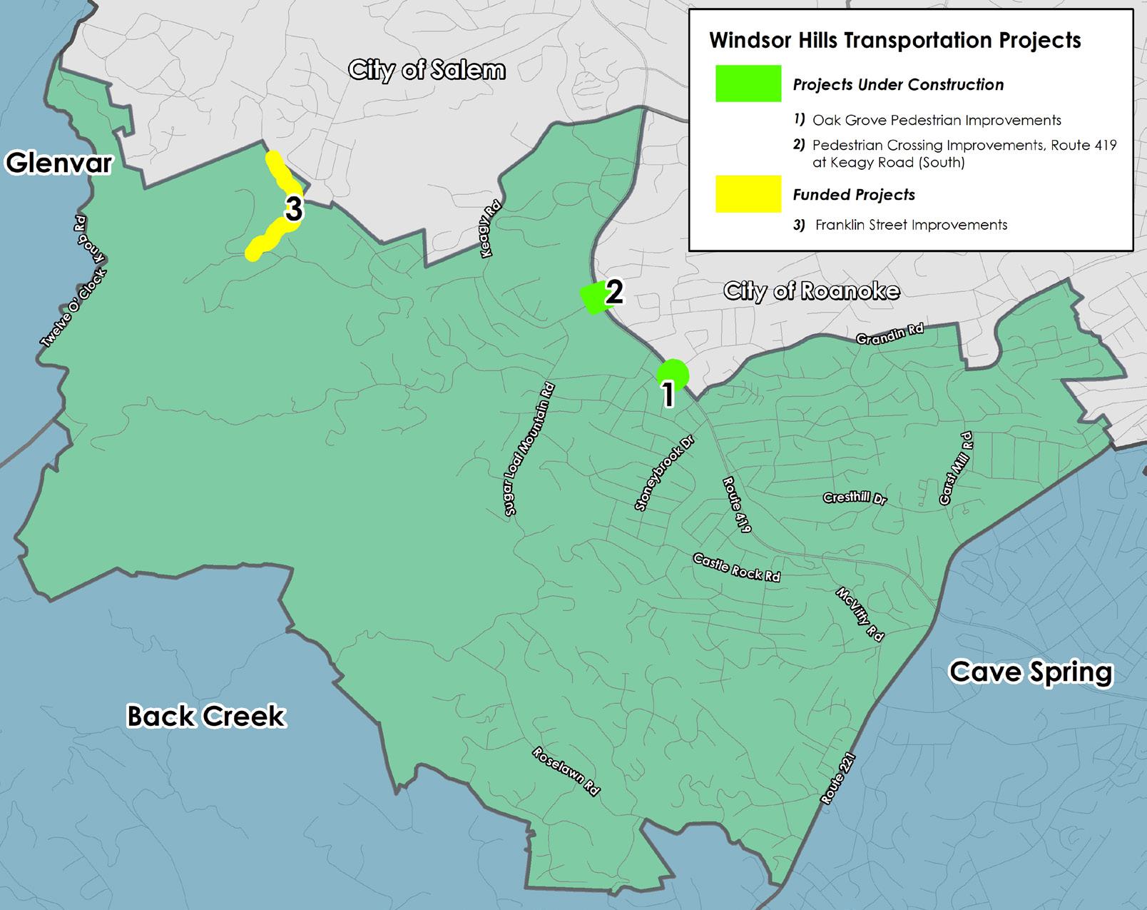
Pedestrian crosswalk and signal projects are under construction on Route 419 at Carriage Lane/Grandin Road and at Keagy Road near Keagy Village. A project to improve Franklin Street is also funded.

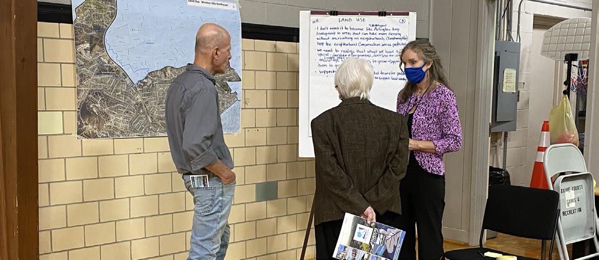
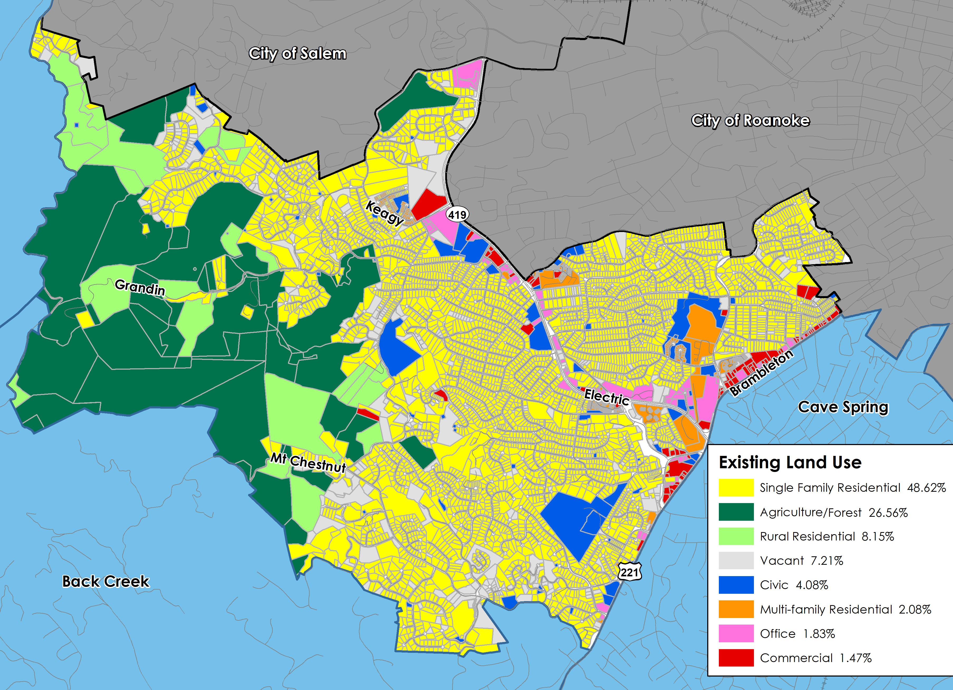
Existing Land Use
The Electric Road/Route 419 corridor and Oak Grove Center are ringed by residential neighborhoods, which are bounded by forested mountains to the west and denser city development to the north and east. The CPA is developed primarily as residential neighborhoods, with a large mix of commercial, office, multi-family residential and civic establishments along major transportation corridors. Agricultural and forested areas make up the northwestern part.
48% of the land is developed as single family neighborhoods and 27% of the land is in agricultural and forest uses. The community values natural features such as Sugar Loaf Mountain, Mount Chestnut, Twelve O’Clock Knob and Poor Mountain, and rural settings along creeks, small farms and orchards. 8% of the land is used for rural residential homesites and 7% is vacant. The remaining 9% is comprised of a mix of commercial, office, multi-family residential, and civic establishments along major transportation corridors.
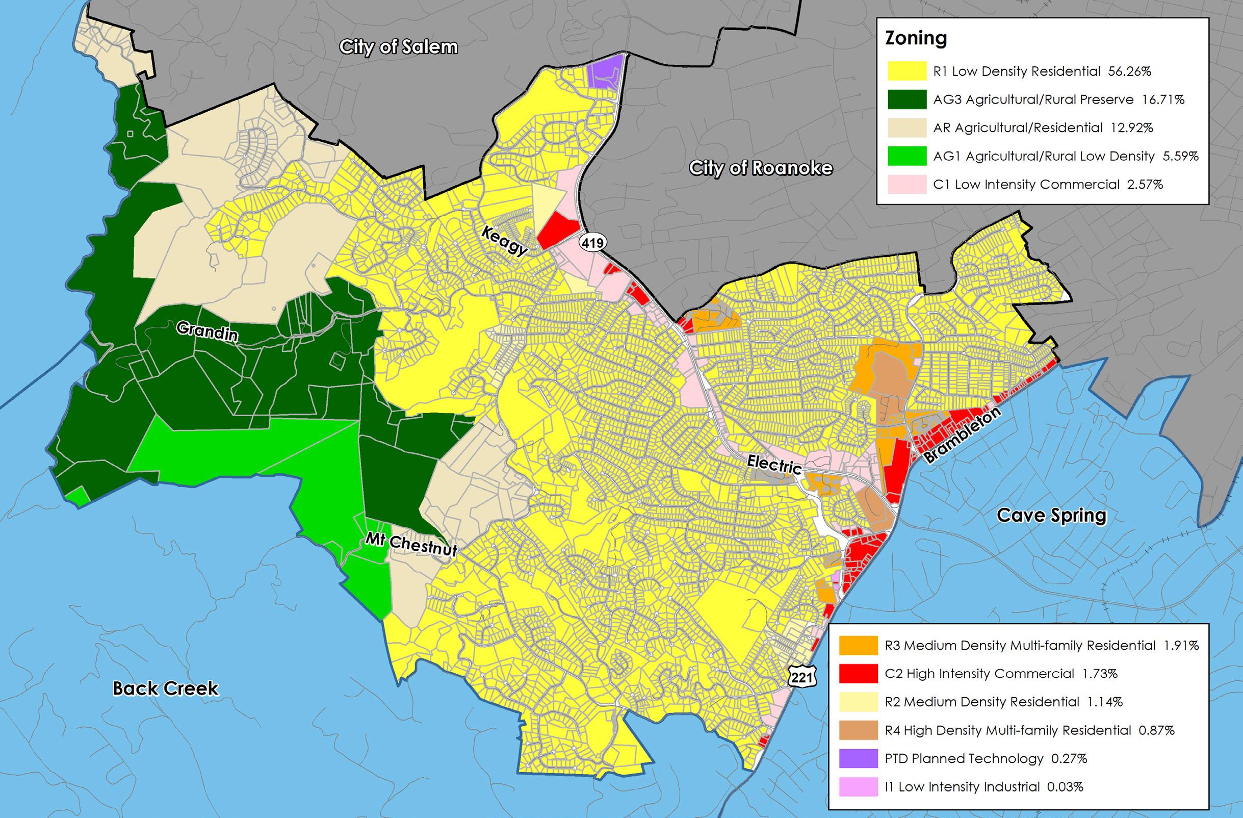
Zoning
The majority of land in Windsor Hills (56%) is zoned for low density residential neighborhoods. 35% is zoned agriculturally, and the remaining 9% is split among commercial, medium density and multi-family residential neighborhoods, planned technology and industrial zoning districts.
The AG-3 Agricultural/Rural Preserve district and the AG-1 Agricultural/Rural Low-density district consist of land primarily used as farmland, woodlands, and widely scattered residential development located within the rural service area. The AR Agricultural/Residential district is generally characterized by very low density residential and institutional uses mixed with smaller parcels that have historically contained agricultural uses, forest land and open space outside the urban service area.
The R-1 Low Density Residential district and R-2 Medium Density Residential district are established for areas of the County within the urban service area with low and medium density residential development. The R-3 Medium Density Multi-Family Residential district provides areas in the County within the urban service area for medium and high density multi-family residential developments such as townhouses and apartments. The R-4 High Density MultiFamily Residential district similarly provides for only high density multi-family residential developments.
The C-1 Low Intensity Commercial district provides low-intensity commercial land uses within the urban service area, including small-scale office and retail businesses. In contrast to the C-1 district, the C-2 High Intensity Commercial district provides for a much wider variety and higher intensity of commercial land uses at a regional scale within the urban service area.
The I-1 Low Intensity Industrial district allows for low-intensity industrial land uses that are regulated in a manner to protect surrounding properties and natural resources from potential negative impacts commonly associated with industrial activity. These districts are provided to promote economic activity in the region. The PTD Planned Technology Development district is intended to function as a well designed industrial park with architecture and landscaping that compliments the surrounding properties and natural resources. This district is also provided to provide flexibility and incentives for potential developers.

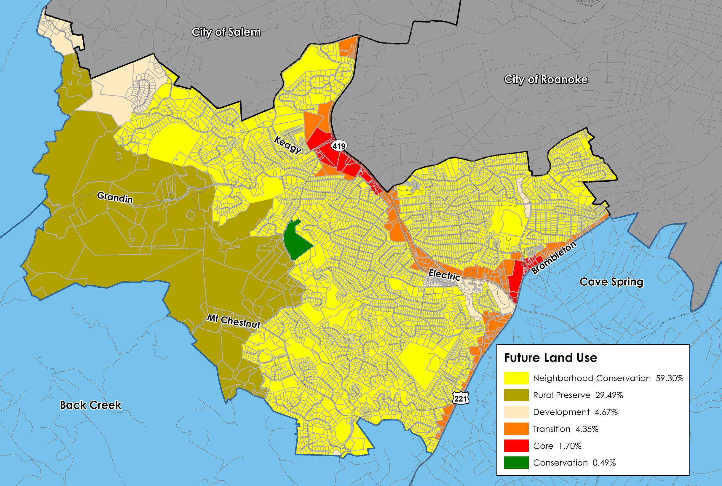
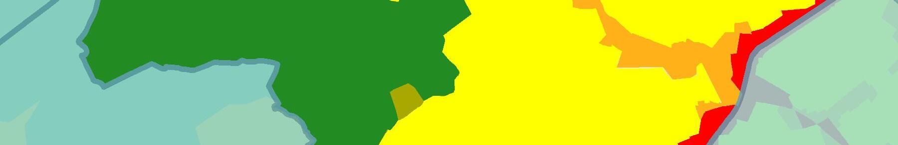
Future Land Use
The map to the right shows the future land use designations in the Windsor Hills CPA from the 2005 Comprehensive Plan. Except for mountainous areas, the Windsor Hills CPA is within the County’s urban development area.
59.3% of the CPA is designated for the Neighborhood Conservation future land use, which is intended to protect existing residential neighborhoods. 4.7% of the land is designated for Development, which is intended to promote future residential development. These two (2) future land uses combined are a little less than two thirds (64.0%) of the land in the Windsor Hills CPA. Together, Transition (4.4%) and Core (1.7%) make up 6.1% of the land in the Windsor Hills CPA. These future land uses are located along Brambleton Avenue (Route 221) and Electric Road (Route 419). 29.5% of the CPA is designated Rural Preserve, which is located in the more mountainous and rural portions of the CPA. There is only one parcel designated for the Conservation future land use (0.5%).