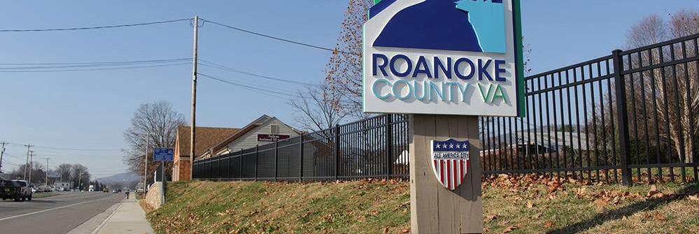
Glenvar Community Planning Area
September 24, 2024
INTRODUCTION
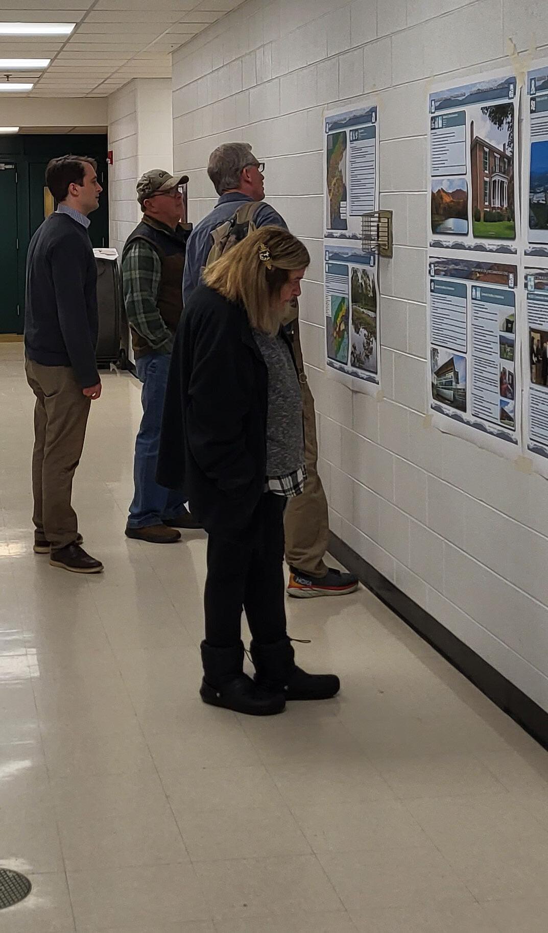
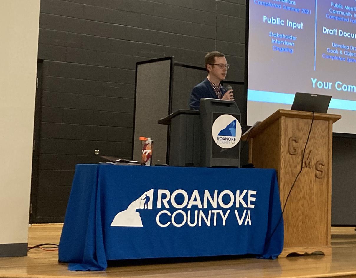
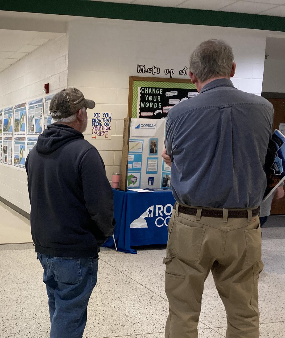
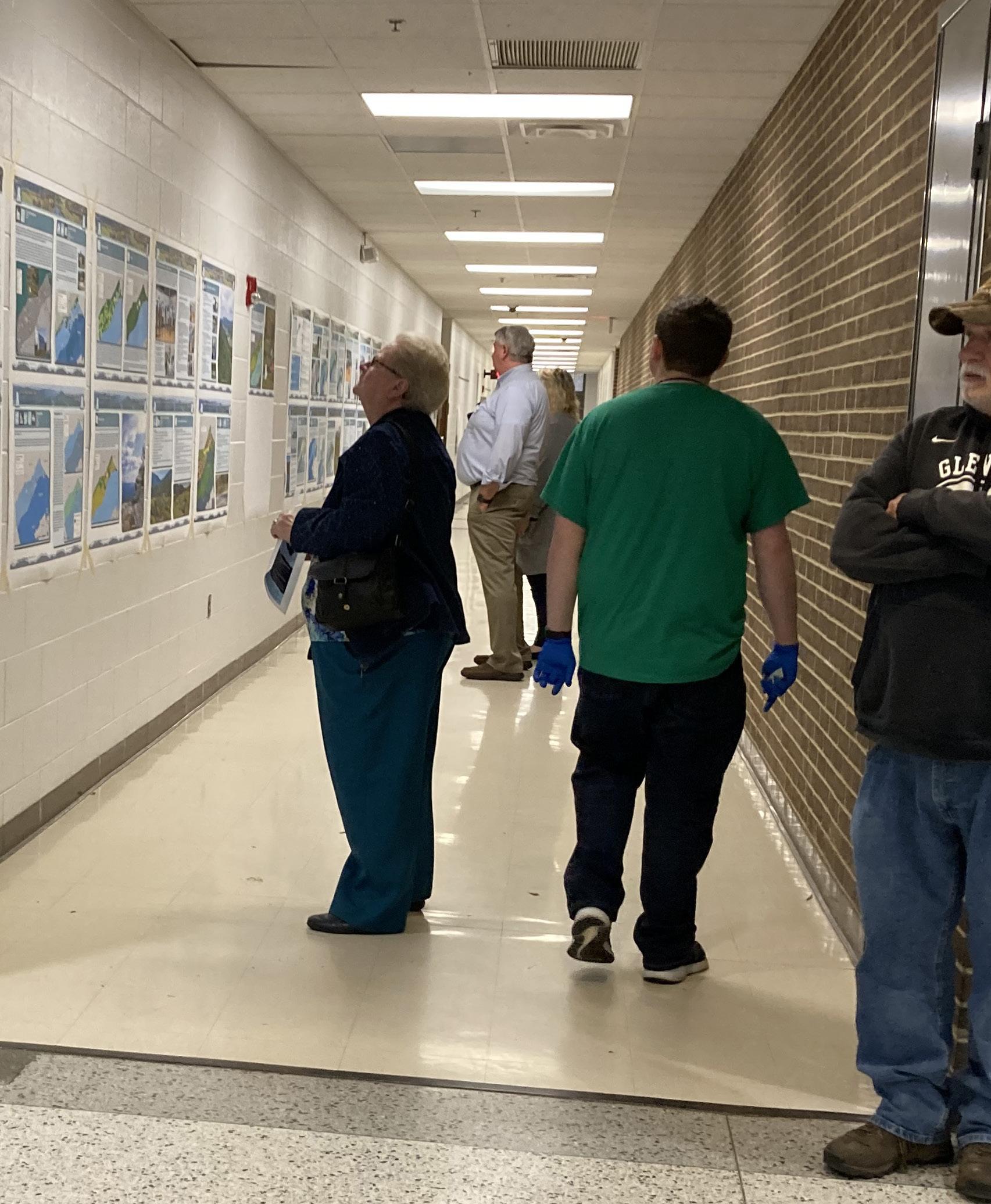
This Plan Summary highlights the key components of the various sections of the Glenvar Planning Area. The Existing Conditions section features the study area’s demographics, community facilities, natural resources, cultural resources, land use, zoning, and the people that participated in the Plan’s development.
The Glenvar Planning Area’s goals were inspired by public input and used to develop the Plan’s recommendations in the County’s Comprehensive Plan Update. Implementation of this Plan will be completed over the next 15 years.
GLENVAR COMMUNITY PLAN (2012)
This plan summary is a supplement to the Glenvar Community Plan (2012), which is a component of Roanoke County’s Comprehensive Plan. The recommendations in this plan summary are in addition to those contained in the Glenvar Community Plan.


Natural & Cultural Resources
Protect and improve ground, surface and stormwater resources; beautify public areas, viewsheds and roadways; clean up garbage; protect steep slope areas; and protect forests, natural areas, and wildlife habitats.
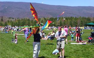
Parks, Recreation & Tourism
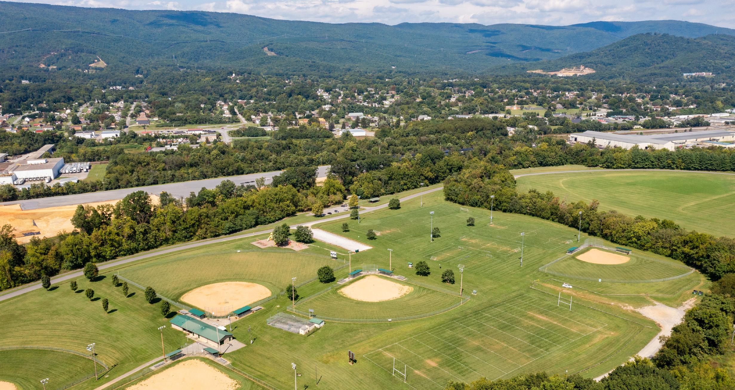
Continue developing programs at Camp Roanoke; evaluate opportunities for parks & trails at Poor Mountain Natural Area Preserve, Spring Hollow Reservoir, and Green Hill Park; increase trail connections; and evaluate trail and blueway options.
General Services
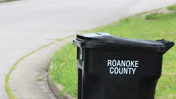
Support recycling options and implement recommendations from the assessments of County Fire Department Facilities and the Administration Center.
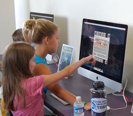
Libraries
Improve service and enhance existing facility; evaluate programming needs from consumer feedback that serve people of all ages and backgrounds; raise level of engagement with the community; and ensure timely delivery of all circulating materials.
Communications & Technology
Expand and improve high-speed broadband access and cell phone service availability in underserved areas.
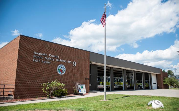
Public Safety
Provide efficient delivery of public safety services with minimal response times; enhance public safety staffing; enhance facilities and equipment; and provide a high-level of citizen engagement and education opportunities.
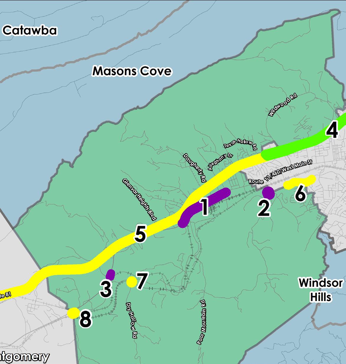
Transportation (Roads)
Determine potential road safety improvements for Route 11/460 between Technology Drive and Montgomery County in collaboration with VDOT.
Transportation (Roads)
Improve safety at the I-81/Dow Hollow Road/West Main Street Intersection.
Transportation (Greenways)
Determine alignments for the Roanoke River Greenway between Green Hill Park and Montgomery County, in collaboration with property owners and stakeholders.
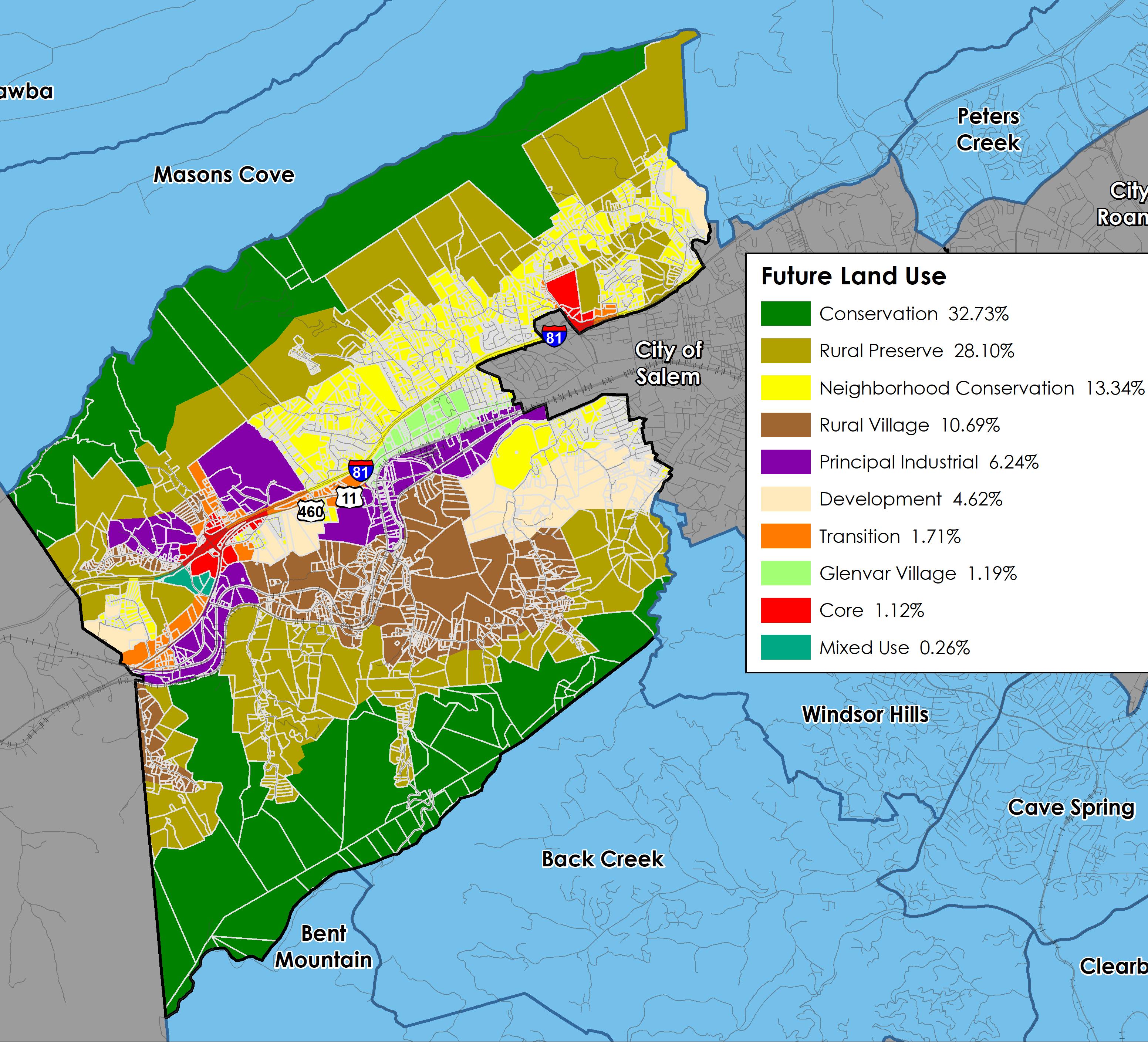
Land Use
Amend the Future Land Use Map changing Rural Preserve areas with steep slopes to Conservation, and changing certain Rural Village areas to Rural Preserve based on existing zoning. Develop a plan for the Glenvar Activity Center near the intersection of Daugherty Road and West Main Street.

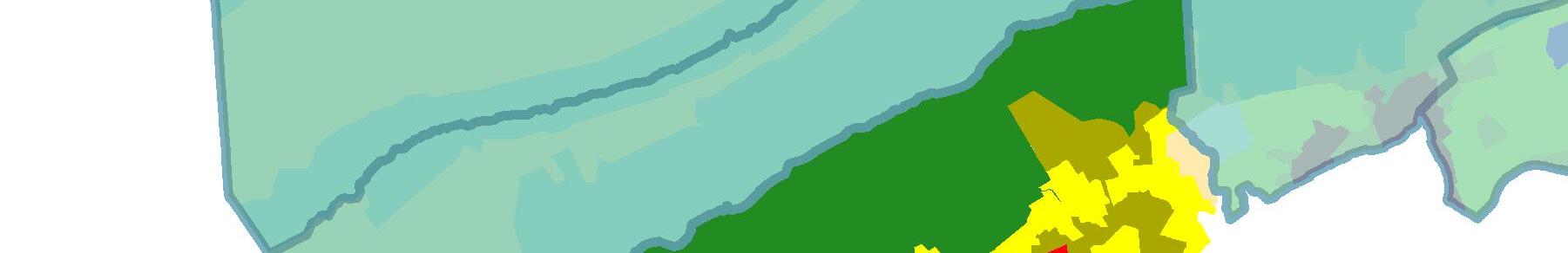
Location, Context, and Boundary
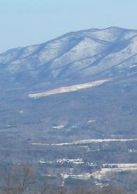
The Glenvar Community Planning Area (CPA) is the largest CPA in Roanoke County in area and is located in the western part of the County. The Glenvar CPA is bordered to the east by the City of Salem, to the west by Montgomery County, to the north by the ridge of Fort Lewis Mountain and to the south by the ridge of Poor Mountain. The study area encompasses 5,237 parcels totaling approximately 31,600 acres. The Glenvar Community Planning Area is home to approximately 9,800 people.
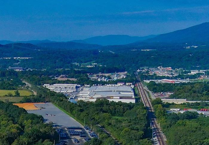
The Glenvar CPA includes a growing number of commercial and industrial businesses along Route 460 in the western region of the County. This planning area has many wonderful amenities including Poor Mountain Natural Area Preserve, Green Hill Park, and Havens Wildlife Management Area. The CPA is divided by Interstate 81, Route 460, the Roanoke River, and the Norfolk Southern railroad. The area is located approximately five miles from the Salem City center and ten miles from the Roanoke City center.

Source: 2019 US Census Data ,
Demographic Trends
• The median age of residents continues to increase as the baby boomer generation ages. The median age in Glenvar is 46.7 years.
• Countywide, over the last few decades families living in the same house have fewer people and two-person households are increasing.
• Population in Glenvar grew 35% from 1983 to 2010, and 1% from 2010 to 2020 to 9,806 people.
• Countywide there were fewer babies born from 2010 to 2020, but population grew 4.9% due to people moving here from outside the County.
• According to most recent Census data, more than 81% (2,830) of the housing units are owned, while approximately 19% (673) are rental properties.
• Per capita income is around $33,530 in the Glenvar CPA for each individual and the average household income is approximately $88,920.
• The average household size is 2.5 persons per household.


Natural Resources
Topography
Hydrology
Floodplains
Soils
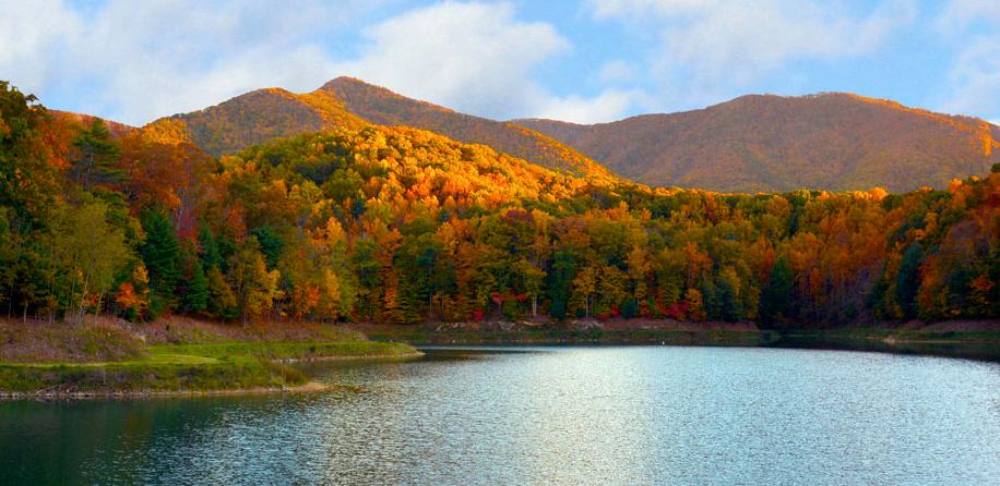
The Glenvar CPA is home to abundant natural resources, including the Roanoke River, Spring Hollow Reservoir, Green Hill Park, Camp Roanoke, Havens Wildlife Management Area, Poor Mountain Natural Area Preserve, and many valley and ridge views. Water is a key asset in this community. This CPA’s northern and southern boundaries are characterized by steep slopes (greater than 33%) and a network of streams that drain into the Roanoke River. Flooding on the Roanoke River near West River Road, Poor Mountain Road and Diuguids Lane has caused repetitive losses for nearby properties. In the Glenvar CPA there are 981 acres, or 3.1% of all total land, located within the 100-year floodplain. An additional 279 acres (0.9%) are located within the 500-year floodplain.
Approximately 47% of the acreage in this CPA is calculated as having a “steep slope,” greater than 33%. Approximately 939 acres of land (3%) in this CPA are under conservation easements. A conservation easement is designed to protect agricultural, forest, historic, or open space resources. It prevents the development of a property while allowing continued private ownership and rural use such as farming or forestry. An additional 4,332 acres (14%) of land is under public and private protective management. Poor Mountain Natural Area Preserve, managed by the Department of Conservation & Recreation, includes over 900 wooded acres, largely in the Glenvar CPA. Poor Mountain Natural Area Preserve protects the world’s largest population of piratebush, a globally rare shrub, which is restricted to only a handful of sites in the Central Appalachian Mountains.


E

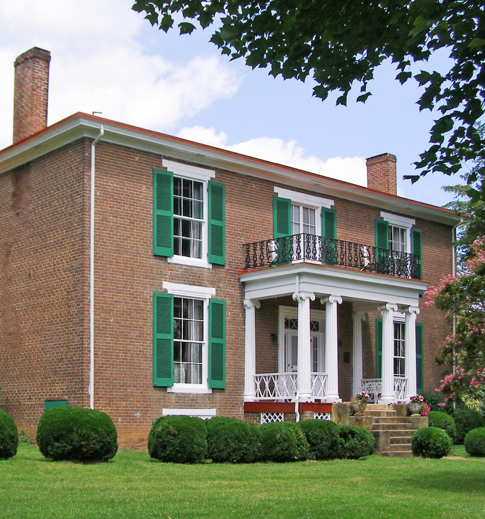
Located in Glenvar, Pleasant Grove is a historic farmstead on the National Register of Historic Places and the Virginia Landmarks Register that exemplifies the regional Greek Revival style. Originally called the Joseph Deyerle House, Pleasant Grove was built on a mid-19th-century 1,150-acre plantation. The collection of buildings (main house, springhouse, smokehouse, and servants’ house) constitutes one of the finest examples of historic domestic architecture in the region. Glenvar is home to numerous historic resources and private cemeteries.
The Glenvar Community Plan identifies that scenic views of Fort Lewis Mountain, Poor Mountain and the Roanoke River support a number of important community elements including the natural environment, quality of life, community character and the local economy.


Source: Historical Architecture Reconnaissance Survey Report (1992) and National Register of Historic Places


Community Facilities
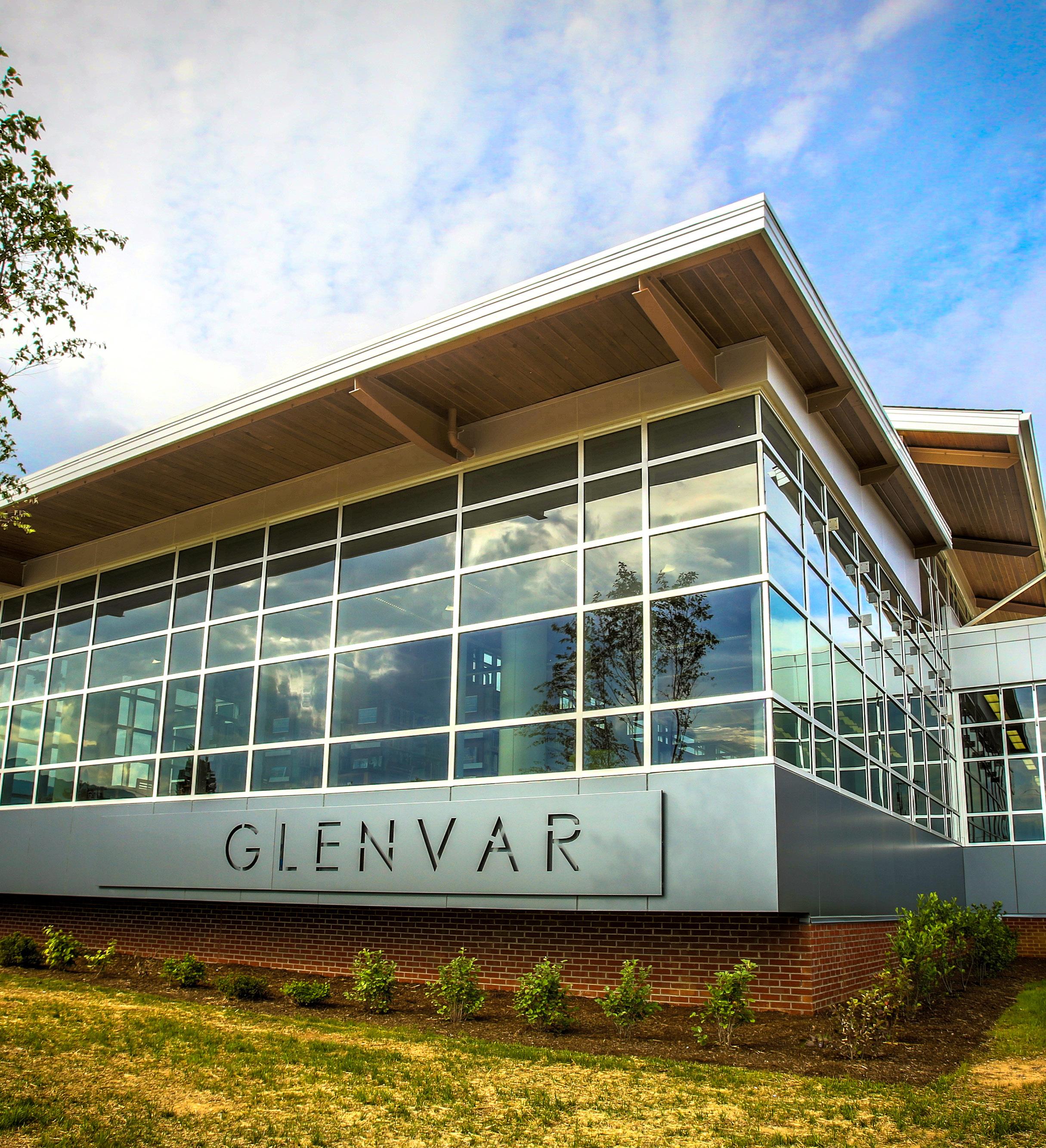
The Glenvar CPA is characterized by infrastructure resources including Interstate 81, Route 11/460 (West Main Street) and the Norfolk Southern railroad, all of which run east to west across the area. In 2025 the railroad is expected to expand passenger rail services to the New River Valley from Downtown Roanoke. The Glenvar community includes important community resources such as the Glenvar Library and public schools, Fort Lewis Fire Station, Green Hill Park, Camp Roanoke, Spring Hollow Reservoir and the Western Virginia Regional Jail.
Glenvar is served by the Glenvar Library. The Glenvar Library is 15,230 square feet and opened in 2013. The library offers a variety of services for adults, teenagers, children and families. Schools serving the Glenvar area are under enrollment capacity. This is consistent with most Roanoke County Public School trends. Glenvar Elementary, Fort Lewis Elementary, Masons Cove Elementary, Glenvar Middle, and Glenvar High are all under maximum capacity.
Of the 11 Roanoke County Community Planning Areas, Glenvar ranks in the higher half for Fire-EMS and Police service calls.


E X I S T I N G C O N D I T I O N S


Transportation
Roads
Transit
Greenways/Trails
Bicycle & Pedestrian Accommodations
Glenvar is home to Roanoke County’s longest existing section of the Roanoke River Greenway, the section at Green Hill Park. This section of the Roanoke River Greenway connects to Green Hill Park’s substantial trail network. Glenvar is also home to a long section of the Roanoke River Blueway, with access points at Green Hill Park and Wayside Park. In addition, two-thirds of a mile of sidewalk is located on the north side of Route 11/460/West Main Street between the City of Salem and Alleghany Drive.

Interstate 81 is by far the busiest roadway in the Glenvar CPA with between 50,000 and 63,000 vehicle trips per day on segments located between Montgomery County and the City of Salem and the eastern section of Wildwood Road. Route 11/460, West Main Street, carries about half of that traffic between Alleghany Drive and the City of Salem with about 28,000 vehicle trips per day. Crash hotspots are also located along these two roadways, with 68 percent occurring on Interstate 81. Some multimodal infrastructure exists in Glenvar with the Roanoke River Greenway in Green Hill Park, sidewalk along West Main Street, trails at the Poor Mountain Natural Area Preserve and the Roanoke River Blueway.
The West Roanoke River Greenway Feasibility Study is underway to explore potential routes for the Roanoke River Greenway between Green Hill Park and Montgomery County.
New sidewalk has just been completed along West Main Street. Wayside Park improvements have been finished to improve access to the Roanoke River Blueway and another segment of the Roanoke River Greenway will be constructed shortly. Roadway projects include the recent completion of the Diuguids Lane bridge superstructure replacement over the Roanoke River, Interstate 81 widening underway, planned safety improvements along Dry Hollow Road under a railroad bridge, and rehabilitation of the Stones Keep Lane bridge over the Roanoke River.


Existing Land Use
The Glenvar CPA is a mix of suburban and rural communities characterized by natural resources such as the Roanoke River, Fort Lewis Mountain and Poor Mountain, as well as infrastructure resources including Interstate 81, U.S. Route 11/460 (West Main Street) and the Norfolk Southern railroad, all of which run east to west across the area. The Glenvar community is home to several internationally-recognized businesses and industries.
55% of the land in this CPA is agricultural and/or forested. Glenvar is home to Fort Lewis Mountain and Poor Mountain, two of the biggest mountains in Roanoke County. Havens Wildlife Management Area, Green Hill Park, Camp Roanoke, Poor Mountain Natural Area Preserve and the Roanoke River are important outdoor recreation and tourism assets for Glenvar and the wider region. 17% of the land is developed by single-family neighborhoods. 14% of the land is split amongst vacant, civic, industrial, commercial, multi-family housing and office uses. 13% of the land is developed by rural residential homes.


Zoning
The mountainous areas of Glenvar (62%) are zoned Agricultural/Rural Preserve. 33 percent of the land is zoned for low density neighborhoods and rural home sites, while the remaining land falls under Industrial and Commercial zoning districts.
The AG-3 Agricultural/Rural Preserve district and the AG-1 Agricultural/Rural Low-density district, consist of land primarily used as farmland, woodlands, and widely scattered residential development located within the rural service area. The AR Agricultural/Residential district is generally characterized by very low density residential and institutional uses mixed with smaller parcels that have historically contained agricultural uses, forest land and open space outside the urban service area. The R-1 Low Density Residential district is established for areas of the County within the urban service area with low and medium density residential development. The C-1 Low Intensity Commercial district provides low-intensity commercial land uses within the urban service area, including small-scale office and retail businesses. In contrast to the C-1 district, the C-2 High Intensity Commercial district provides for a much wider variety of commercial land uses at a regional scale within the urban service area. The I-2 High Intensity Industrial district allows for high-intensity, industrial land uses within the urban service area. The I-1 Low Intensity Industrial district allows for low-intensity industrial land uses. These districts are provided to promote economic activity in the region. The PTD Planned Technology Development district is intended to function as a well designed industrial park with architecture and landscaping that compliments the surrounding properties and natural resources. This district is also provided to provide flexibility and incentives for potential developers.
The Glenvar CPA has a higher amount of industrial zoning (5.09%) compared to other CPAs due to its prime location on I-81 and access to the Norfolk Southern Railroad. Glenvar has many other advantages that make it a great location for other economic development opportunities.