


Clearbrook Community Planning Area
September 24, 2024

INTRODUCTION
This Plan Summary highlights the key components of the various sections of the Clearbrook Planning Area. The Existing Conditions section features the study area’s demographics, community facilities, natural resources, cultural resources, land use, zoning, and the people that participated in the Plan’s development.
The Clearbrook Planning Area’s goals were inspired by public input and used to develop the Plan’s recommendations in the County’s Comprehensive Plan Update. Implementation of this Plan will be completed over the next 15 years.
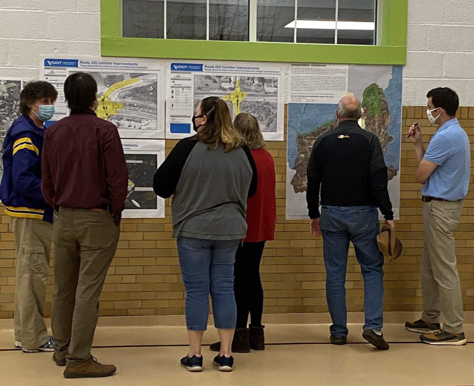
Route 220 Corridor Study (2007)
The Route 220 Corridor Study was adopted by the Board of Supervisors on November 13, 2007, as a component of the Roanoke County Comprehensive Plan. The Route 220 Corridor Study is also a component of this Clearbrook Community Planning Area Summary Document.


Natural & Cultural Resources
Protect and improve ground, surface and stormwater resources; beautify public areas, viewsheds and roadways; clean up garbage; protect steep slope areas; and protect forests, natural areas, and wildlife habitats.
Parks, Recreation & Tourism
Promote Park Partners Program; evaluate opportunities for parks & greenways/trails; increase trail connections as shown in the Roanoke Valley Greenway Plan; and evaluate park, trail and blueway options.
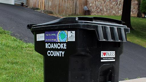
General Services
Support recycling options and implement recommendations from the assessments of County Fire Department Facilities and the Administration Center.
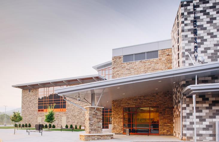
Libraries
Improve service and enhance existing facility; evaluate programming needs from consumer feedback that serve people of all ages and backgrounds; raise level of engagement with the community; and ensure timely delivery of all circulating materials.
Communications & Technology
Expand and improve high-speed broadband access and cell phone service availability in underserved areas.
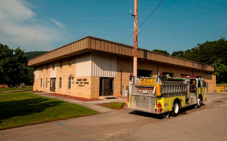
Public Safety
Provide efficient delivery of public safety services with minimal response times; enhance public safety staffing; enhance facilities and equipment; and provide a high-level of citizen engagement and education opportunities.
Transportation (Roads)
Continue to improve safety along Route 220 by implementing VDOT’s U.S. 220 Arterial Preservation Plan.
Transportation (Pedestrian Accommodations)
Connect crosswalks planned for Route 220 intersections between Buck Mountain Road/Stable Road and Clearbrook Village Lane/Indian Grave Road with pedestrian accommodations.
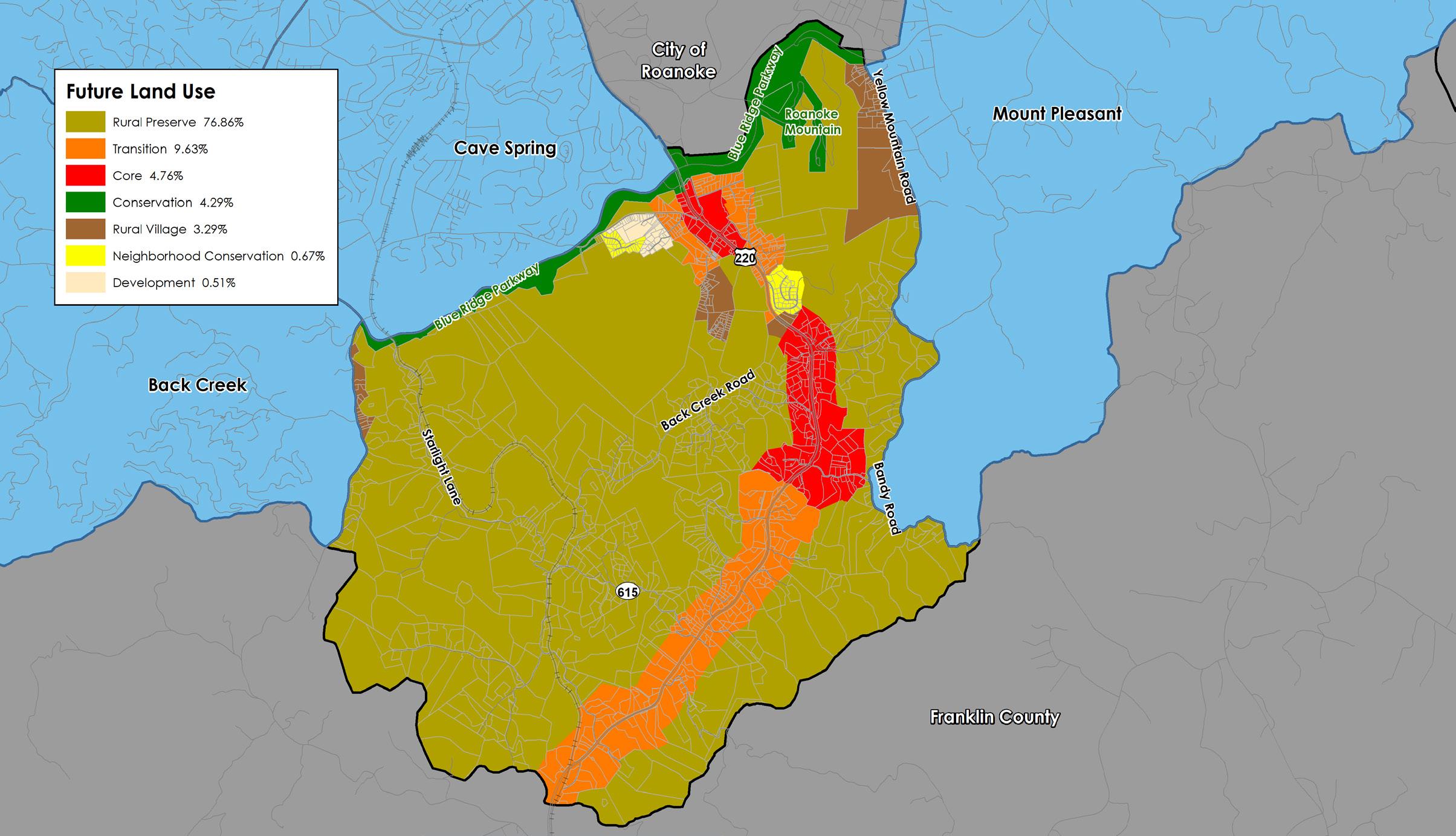
Land Use (Future Land Use)
Amend the Future Land Use Map to preserve the rural and residential character of Clearbrook.
Land Use (Activity Center)
Develop a plan for the Clearbrook Activity Center around the Route 220/Clearbrook Village Lane/Indian Grave Road intersection.

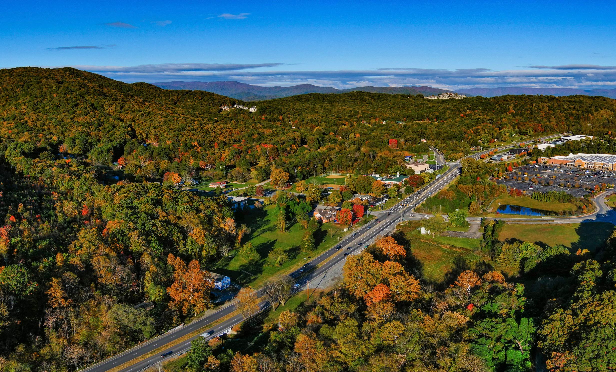
Location, Context, and Boundary
The Clearbrook Community Planning Area (CPA) is located in the southeastern portion of Roanoke County. It is bordered to the north by the City of Roanoke, to the east by the Mount Pleasant CPA, to the south by Franklin County, and to the west by the Cave Spring CPA and the Back Creek CPA. The study area encompasses 1,484 parcels totaling approximately 11,870 acres. The Clearbrook Community Planning Area is home to approximately 2,135 people.
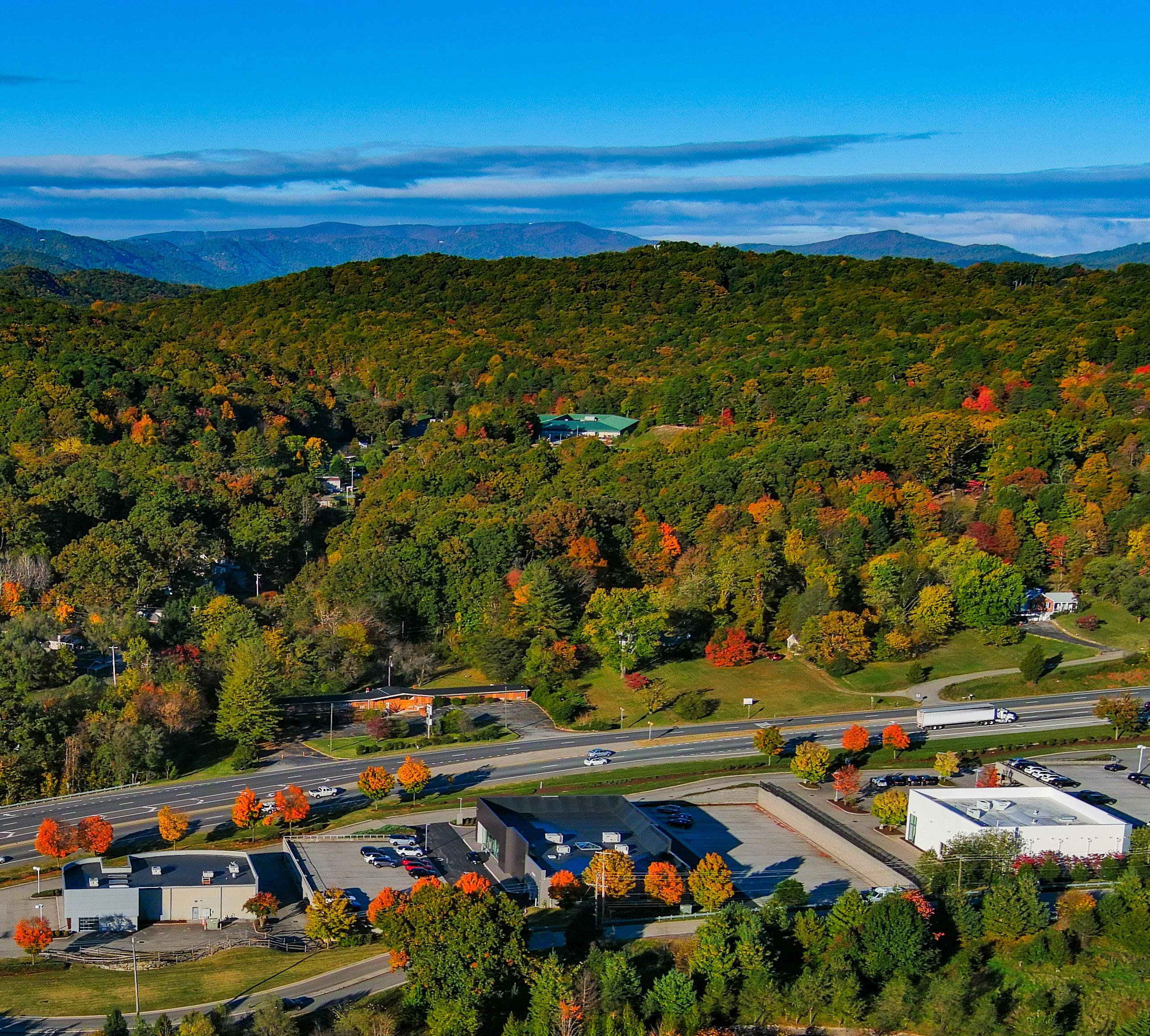
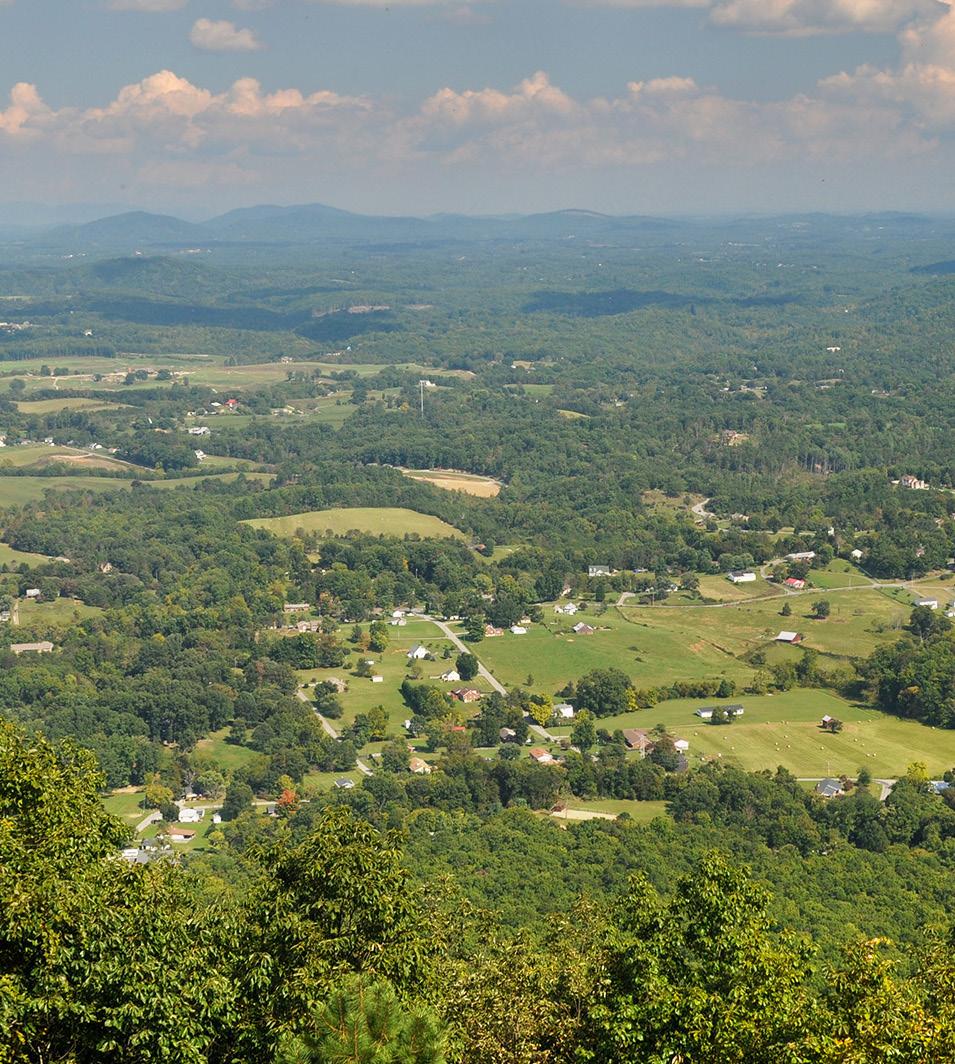
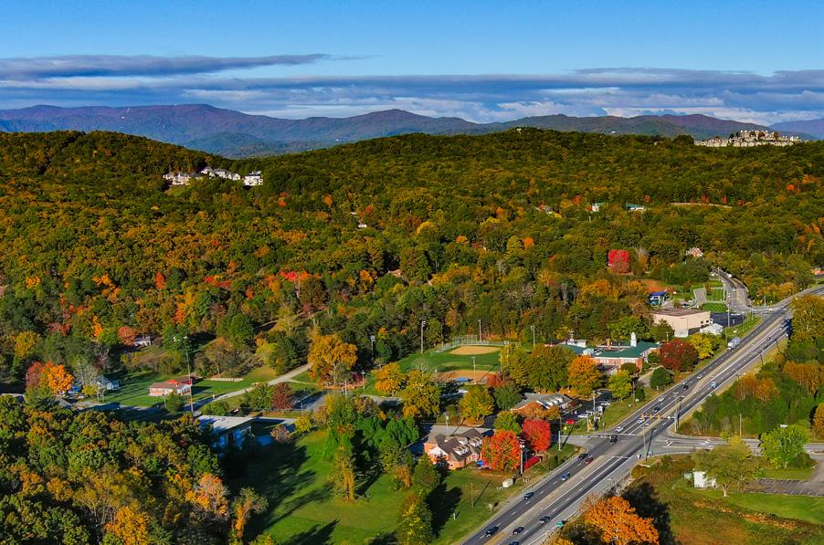
Clearbook Planning Area includes a small number of businesses along Route 220 in the southern region of the County. This planning area has many amenities including several overlooks along the Blue Ridge Parkway and Roanoke Mountain. The CPA is transected by Back Creek as well as the adjacent Back Creek Road. This area is rural in nature and is approximately six miles from the Cities of Roanoke and Salem.


Source: 2019 US Census Data
Demographic Trends
• The median age of residents continues to increase as the baby boomer generation ages. The median age in Clearbook is 50.7 years.
• Countywide, over the last few decades families living in the same house have fewer people, and two-person households are increasing.
• Clearbrook lost 7% of its population from 1983 to 2010, but then grew 4% from 2010 to 2020 to 2,135 people.
• Countywide, there were fewer babies born from 2010 to 2020, but population grew 4.9% due to people moving here from outside the County.
• According to most recent Census data, more than 60% (727) of the housing units are owned, while approximately 40% (181) are rental properties.
• Per capita income is around $35,280 in the Clearbook CPA for each individual and the average household income is approximately $82,920.
• The average household size is 2.32 persons per household.


Natural Resources
Topography
Hydrology
Floodplains
Soils
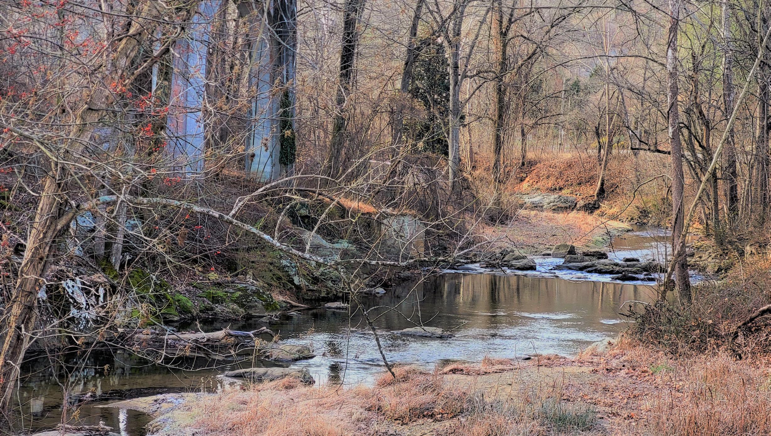
Clearbrook is bisected by Back Creek, with numerous tributaries throughout the CPA. Nearly half (47%) of the acreage in this CPA is calculated as having a “steep slope,” greater than 33%. These natural constraints have limited development in the Clearbrook area, resulting in a rural and scenic setting. Control of erosion and sedimentation and the management of stormwater runoff due to steep slopes and erodible soils can make land development difficult. 342 acres, or 2.9% of all land, are located within the 100-year floodplain. An additional 55 acres (0.5%) are located within the 500-year floodplain. Back Creek is currently listed as impaired. Impaired streams are streams or rivers that do not meet state water quality standards because pollutant levels are too high. The primary pollutant for most of the streams is bacteria (E. coli) that comes from discharges including municipal separate storm sewer systems, livestock, pet waste, unspecified domestic waste and other sources.
Approximately 383 acres of land (3%) in this CPA are under conservation easements. A conservation easement is designed to protect agricultural, forest, historic or open space resources. An additional 482 acres (4%) of land is under public and private protective management.


Cultural Resources
Districts Buildings Cemeteries
Clearbrook is home to numerous historic resources including homes, farms, churches and private cemeteries. The Blue Ridge Parkway (with a stop at Roanoke Mountain on the north side of the Clearbrook CPA) attracts visitors from across the state and beyond.

Source: Historical Architecture Reconnaissance Survey Report (1992) and National Register of Historic Places


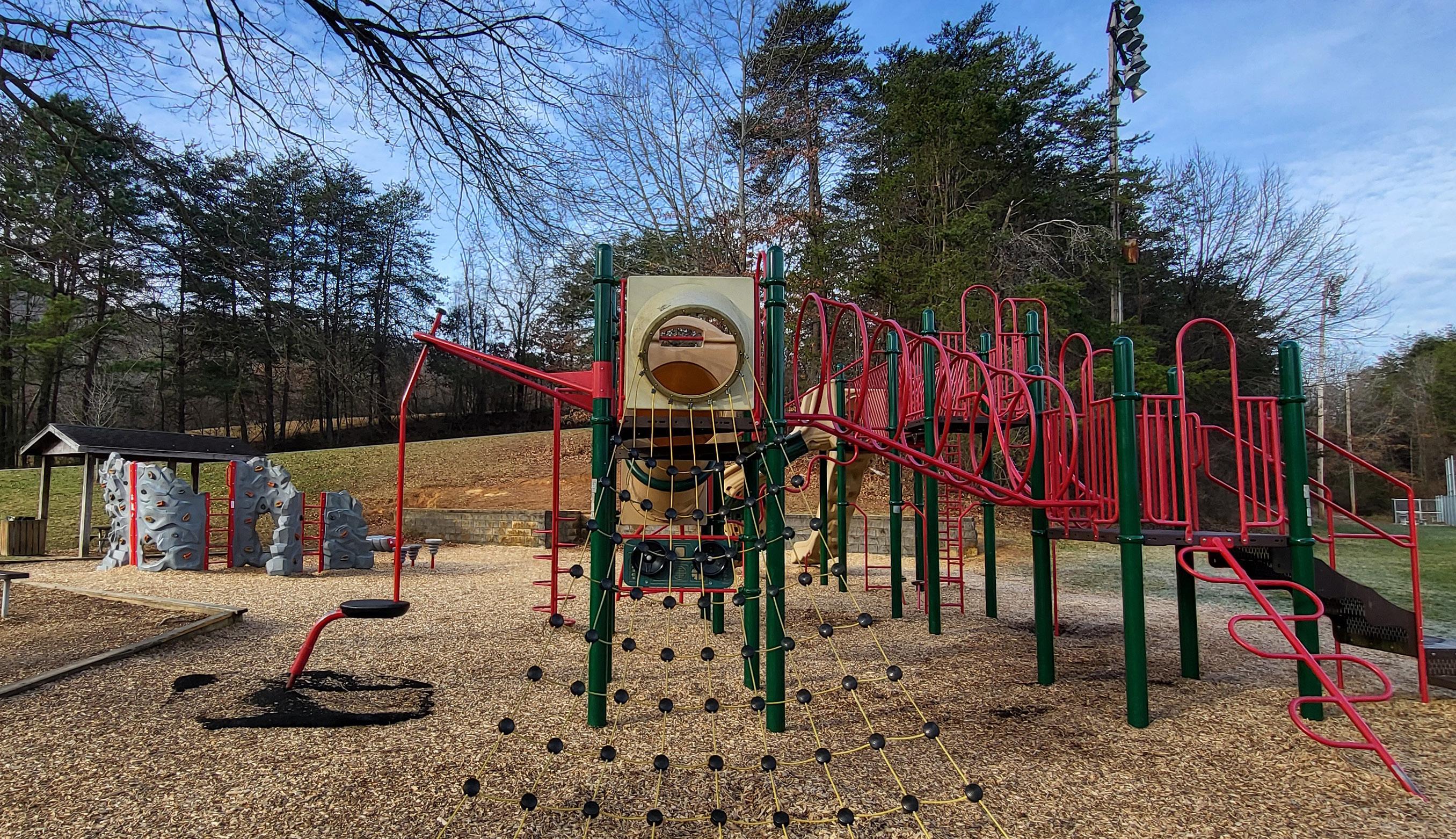
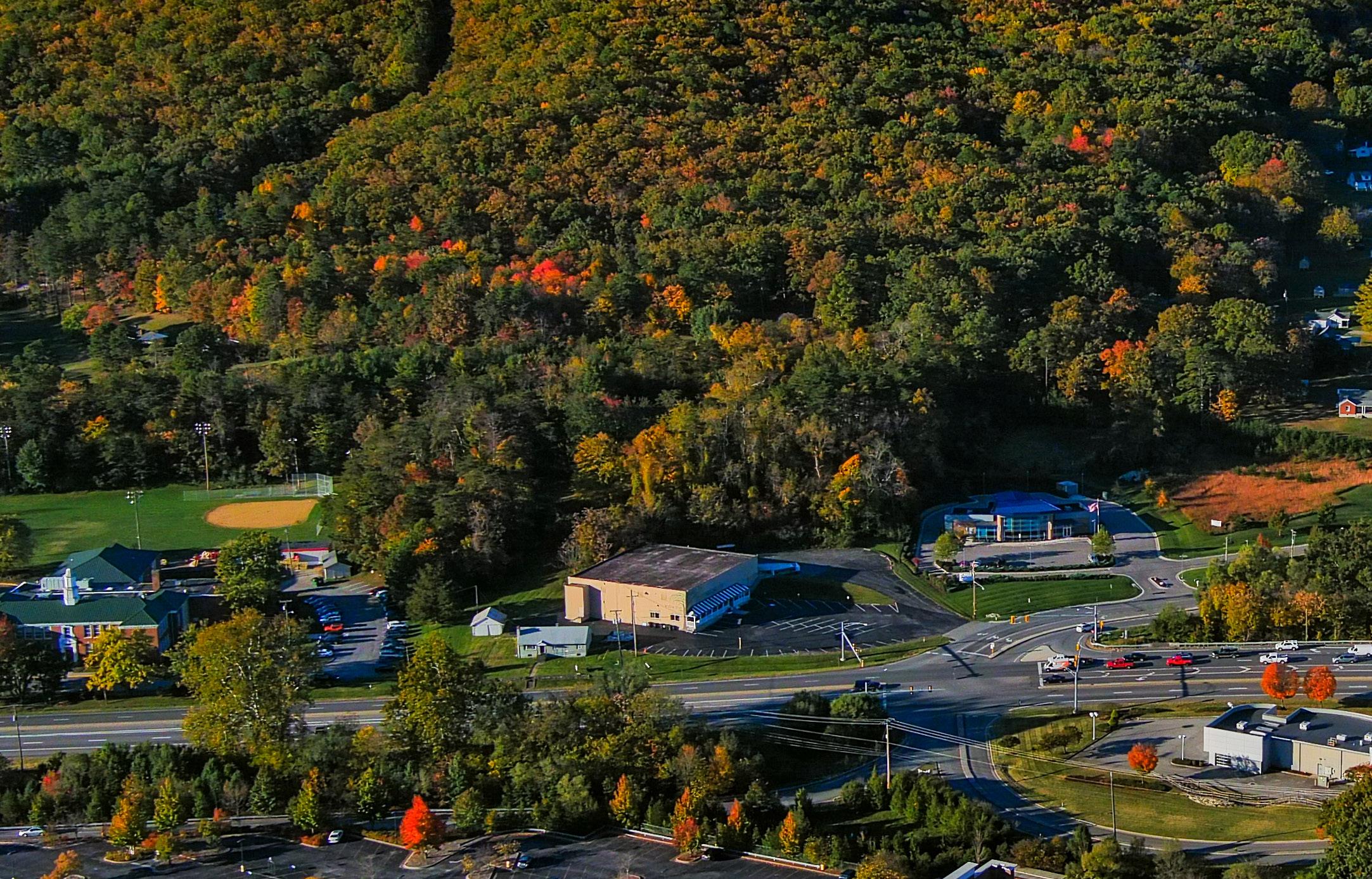
Community Facilities
Clearbrook is a village-like setting in Roanoke County and one of the region’s main gateways to the Blue Ridge Parkway. The community can be easily accessed by Route 220 (Franklin Road), the Blue Ridge Parkway, Buck Mountain Road, and Yellow Mountain Road. This CPA is home to recreation spaces such as the Blue Ridge Parkway, Clearbrook Park, Roanoke Mountain and Back Creek.
Clearbrook is served by nearby South County Library in the Cave Spring CPA. The South County Library offers a variety of services for adults, teenagers, children and families. Schools serving the Clearbrook area include Clearbrook Elementary, Cave Spring Middle School and Cave Spring High School. These schools are all under maximum enrollment capacity. This is consistent with most Roanoke County Public School trends.
The area is served by the #7 Clearbrook Fire and Rescue Station. Of the 11 Roanoke County Community Planning Areas, Clearbrook ranks in the lower half for Fire-EMS and Police service calls.


E X I S T I N G
O N D I T I O N S


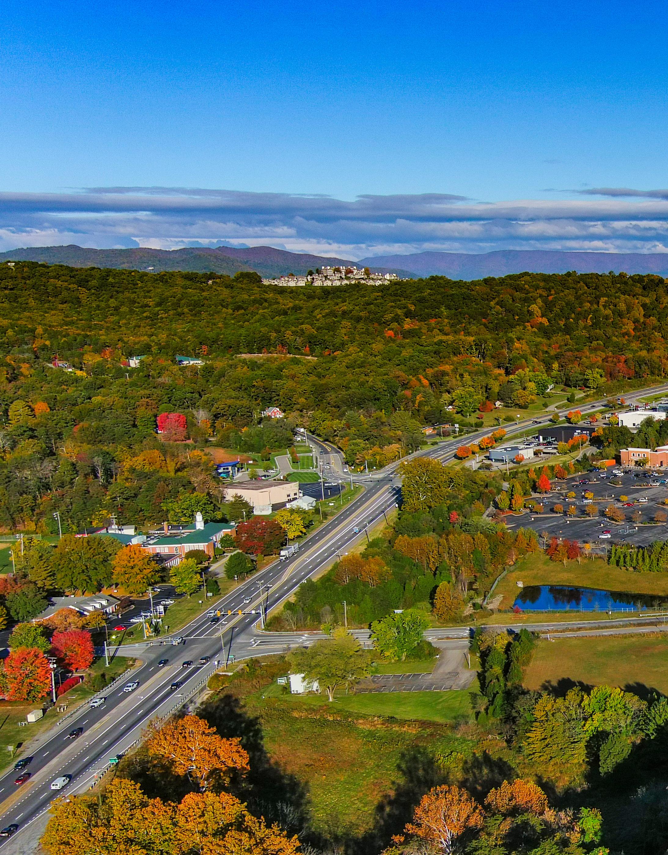
Clearbrook is generally rural with hilly topography, so multi-modal infrastructure in the area tends to be recreation-oriented. The Blue Ridge Parkway Trails in the northeast portion of the CPA connect to the Chestnut Ridge trail network, which connects to the Mill Mountain trail network.
The Clearbrook CPA includes two transportation corridors of major significance to the Roanoke Valley: Route 220 and the Blue Ridge Parkway. Route 220 between the City of Roanoke and Franklin County has by far the most vehicle trips in the CPA with over 32,000. Vehicle crashes on Route 220 make up 80 percent of crashes in the CPA.
As a Corridor of Statewide Significance, in 2017 VDOT initiated an Arterial Preservation Program (APP) study of Route 220 between Route 419 and Henry County. This APP study led to further analysis of seven intersections with traffic signals. Four traffic signals in the City of Roanoke and Roanoke County are proposed for Through-Cut modifications, including two in the Clearbrook CPA at Buck Mountain Road/Stable Road and at Indian Grave Road/Clearbrook Village Lane. It is anticipated that the traffic signal modifications will improve traffic flow and will reduce crashes, while also providing pedestrian crosswalks and signals for safer pedestrian travel in the area. Other projects in the area include the recent completion of the Route 220 bridge over Back Creek and paving gravel segments of Crowell Gap Road and Webb Road.
Busiest roadways include: Route 220 between the City of Roanoke and Franklin County (32,271 AADT); Buck Mountain Road between Cave Spring CPA and Route 220 (6,510 AADT); Blue Ridge Parkway between the City of Roanoke and Southbound Route 220 Off-Ramp (2,444 AADT). Annual average daily traffic (AADT) is the total volume of vehicle traffic on a roadway for a year divided by 365 days. Crash data from January 2014 to March 2021 showed that 583 crashes occurred in the Clearbrook CPA, with 464 of these crashes occurring on Route 220.
Transportation
Roads
Transit
Greenways/Trails
Bicycle & Pedestrian Accomodations


Existing Land Use
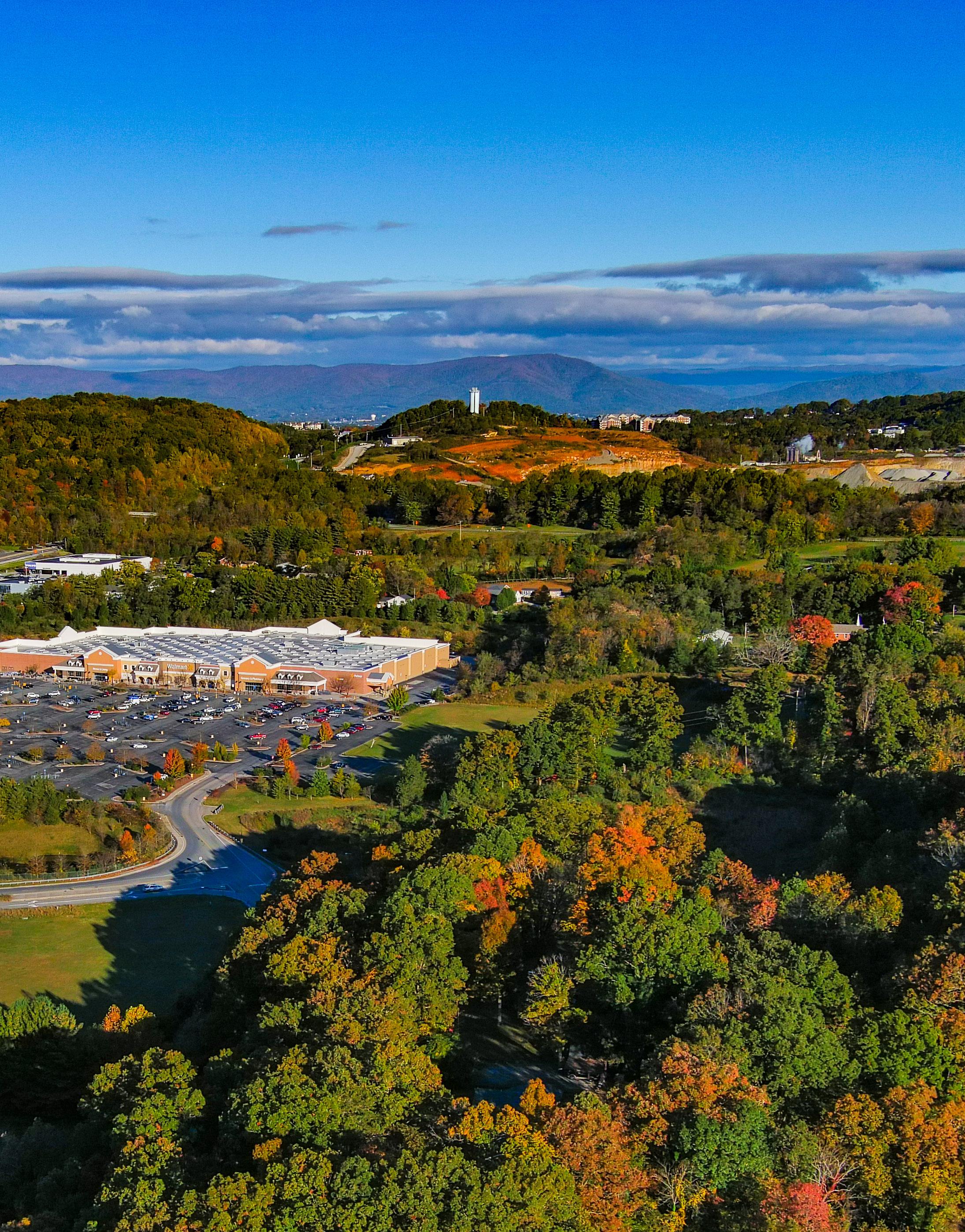
Roanoke Mountain is in the northeast corner of Clearbrook, and the Blue Ridge Parkway runs along its northern border. This close-knit community is known for its rural landscape and the scenic quality of Back Creek and the Blue Ridge Parkway, as well as beautiful views of the ridges and valleys. The busy U.S. Route 220 corridor transects Clearbrook, carrying traffic through a commercial center with luxury car dealers, retailers, a park, medical office, churches and the Clearbrook Elementary School.
55% of the land in this CPA is used for agriculture and forests. The Blue Ridge Parkway and Roanoke Mountain are important recreation and outdoor tourism assets for Clearbrook and the larger region. Back Creek is an important waterway and popular for outdoor recreation. Approximately 42% of the land is developed by rural home sites and single family neighborhoods. Less than 4% of the land in this CPA is comprised of civic, institutional, industrial, commercial or multi-family uses, or it is vacant.


Zoning
The majority of land in Clearbrook (90%) is zoned agriculturally, while 8% is zoned for rural and low density residential. Commercial and multi-family residential areas make up less than 2% of the land.
The AG-3 Agricultural/Rural Preserve district and the AG-1 Agricultural/Rural Low-density district, consist of land primarily used as farmland, woodlands, and widely scattered residential development located within the rural service area. The AR Agricultural/Residential district is generally characterized by very low density residential and institutional uses mixed with smaller parcels that have historically contained agricultural uses, forest land, and open space outside the urban service area.
The R-1 Low Density Residential district is established for areas of the County within the urban service area with low density residential development. The R-3 Medium Density Multi-Family Residential district provides areas in the County within the urban service area for medium and high density residential developments such as townhomes and apartments. The C-1 Low Intensity Commercial district provides low-intensity commercial land uses within the urban service area, including small-scale office and retail businesses. In contrast to the C-1 district, the C-2 High Intensity Commercial district provides for a much wider variety and higher intensity of commercial land uses at a regional scale within the urban service area.
The Clearbrook Village Overlay District (CVOD) is unique to the Clearbrook CPA, found only in the Clearbrook Commercial Village area. The purpose of this district is to promote future development that is consistent with the character of the Clearbrook area. Future development in this district is intended to respect the character and historical context of the Blue Ridge Parkway, Clearbrook School, and other social and cultural resources in the Clearbrook area.