

Mountain Community Planning Area
September 24, 2024

INTRODUCTION
This Plan Summary highlights the key components of the various sections of the Bent Mountain Planning Area. The Existing Conditions section features the study area’s demographics, community facilities, natural resources, cultural resources, land use, zoning, and the people that participated in the Plan’s development.
The Bent Mountain Planning Area’s goals were inspired by public input and used to develop the Plan’s recommendations in the County’s Comprehensive Plan Update. Implementation of this Plan will be completed over the next 15 years.


the Roanoke County 200 Plan.


Natural & Cultural Resources
Protect and improve ground, surface and stormwater resources; beautify the County’s public areas, viewsheds and roadways; clean up garbage; protect steep slope areas; and protect forests, natural areas, and wildlife habitats.
Parks, Recreation & Tourism
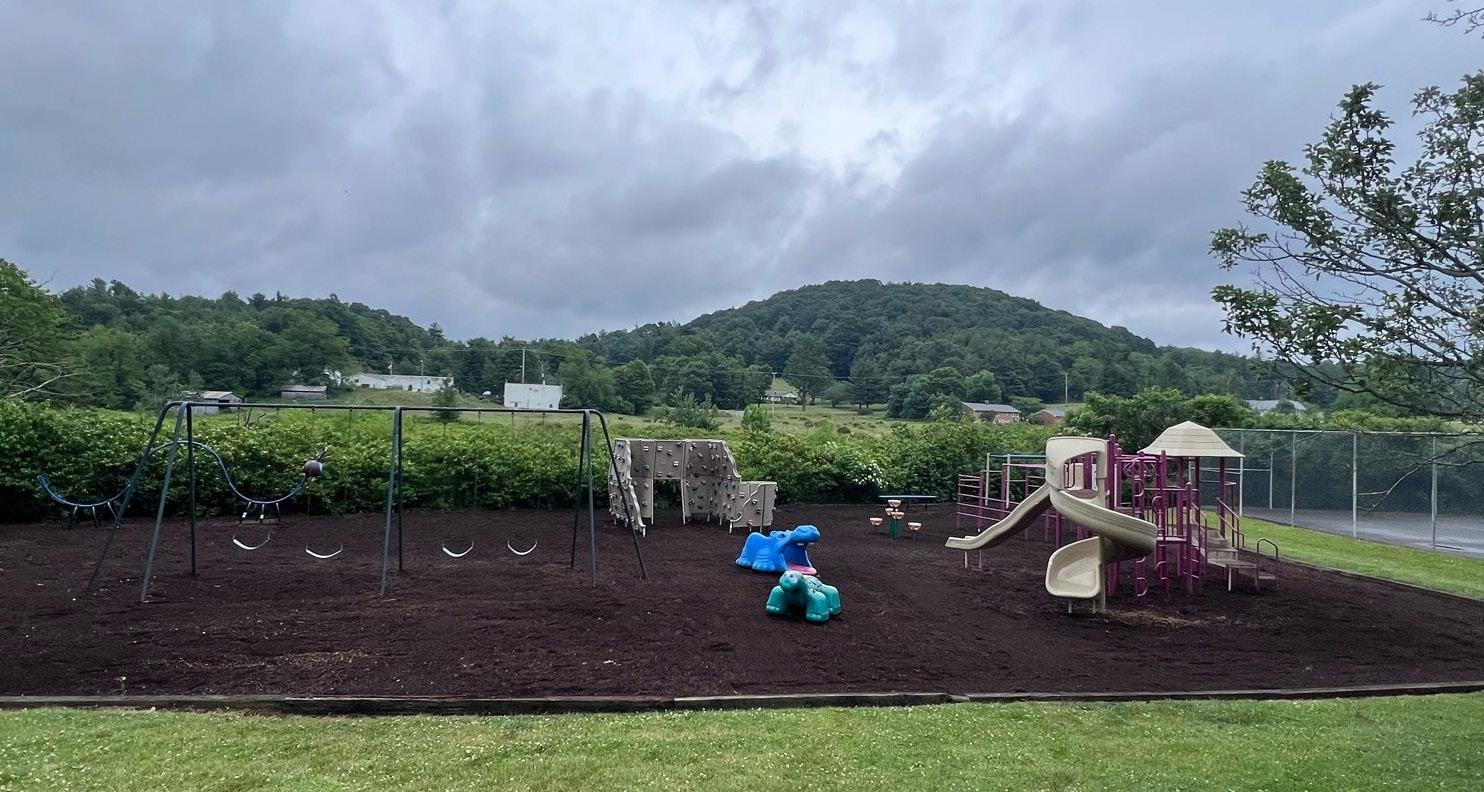
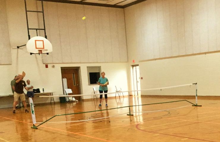
Increase trail connections as shown in the Roanoke Valley Greenway Plan; evaluate park, trail and blueway options along Back Creek; improve programming of the Bent Mountain Community Center; and analyze potential road alternatives for outdoor recreation.
General Services
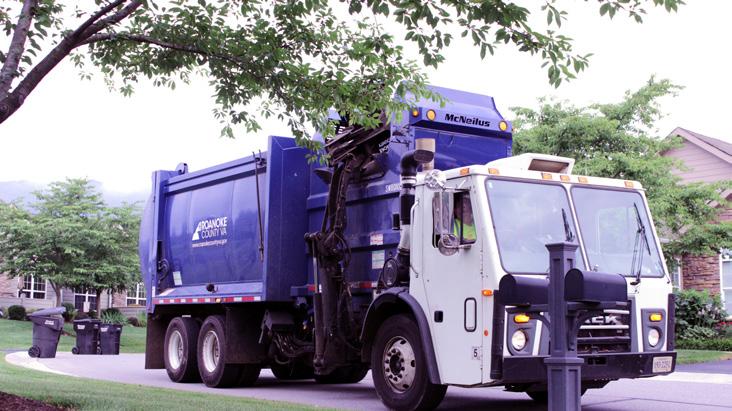
Support recycling options and implement recommendations from the assessments of County Fire Department Facilities and the Administration Center.
Libraries
Improve service and enhance existing facility; evaluate programming needs from consumer feedback that serve people of all ages and backgrounds; raise level of engagement with the community; and ensure timely delivery of all circulating materials.
Communications & Technology
Expand and improve high-speed broadband access and cell phone service availability in underserved areas.
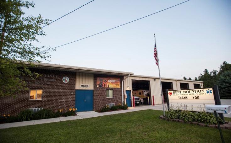
Public Safety
Provide efficient delivery of public safety services with minimal response times; enhance public safety staffing; enhance facilities and equipment; and provide a high-level of citizen engagement and education opportunities.
Transportation (Roads)
Collaborate with VDOT on a Route 221/Bent Mountain Road Multimodal Safety Study to determine what kind of improvements could be made to reduce crashes and improve safety for all users.
Transportation (Bicycle Accommodations)
Determine appropriate locations for improved bicycle accommodations with particular emphasis on connecting to the Blue Ridge Parkway.
Transportation (Pedestrian Accommodations)
Evaluate potential pedestrian connections to businesses and destinations within the Bent Mountain community.
Land Use
Amend the Future Land Use Map to preserve the rural character of Bent Mountain. Develop a Rural Center Plan for the Bent Mountain area along Bent Mountain Road.

Location, Context, and Boundary
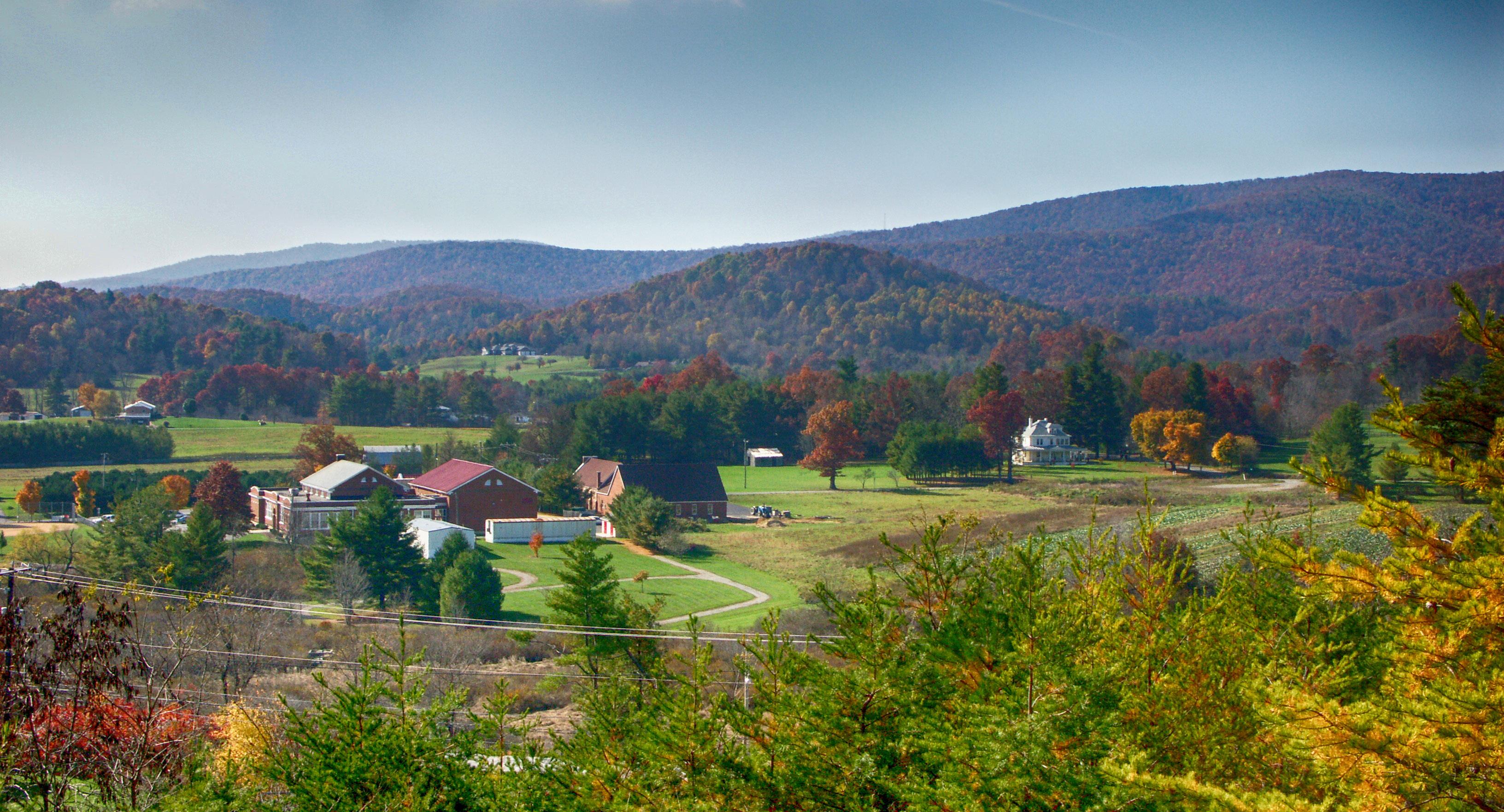
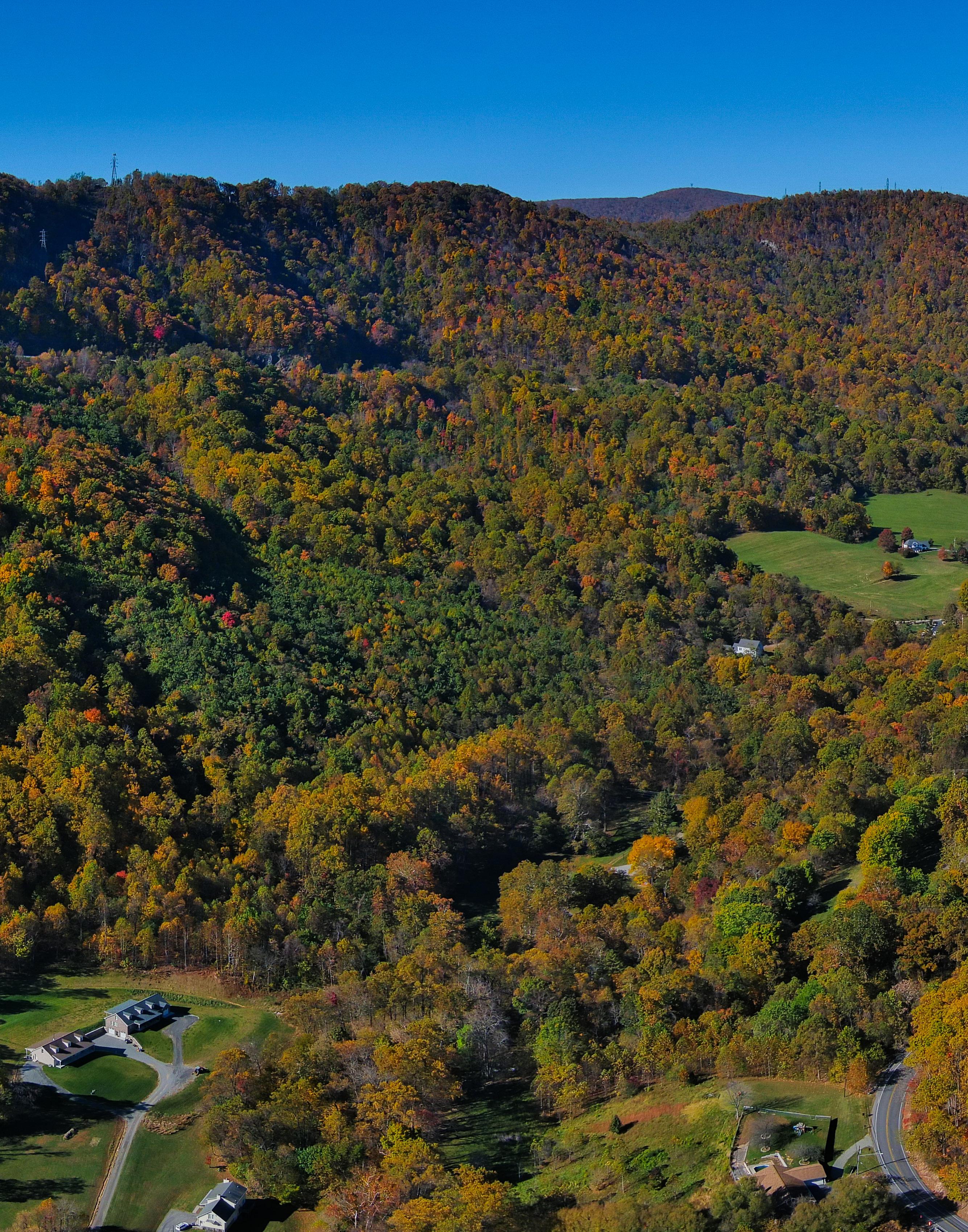
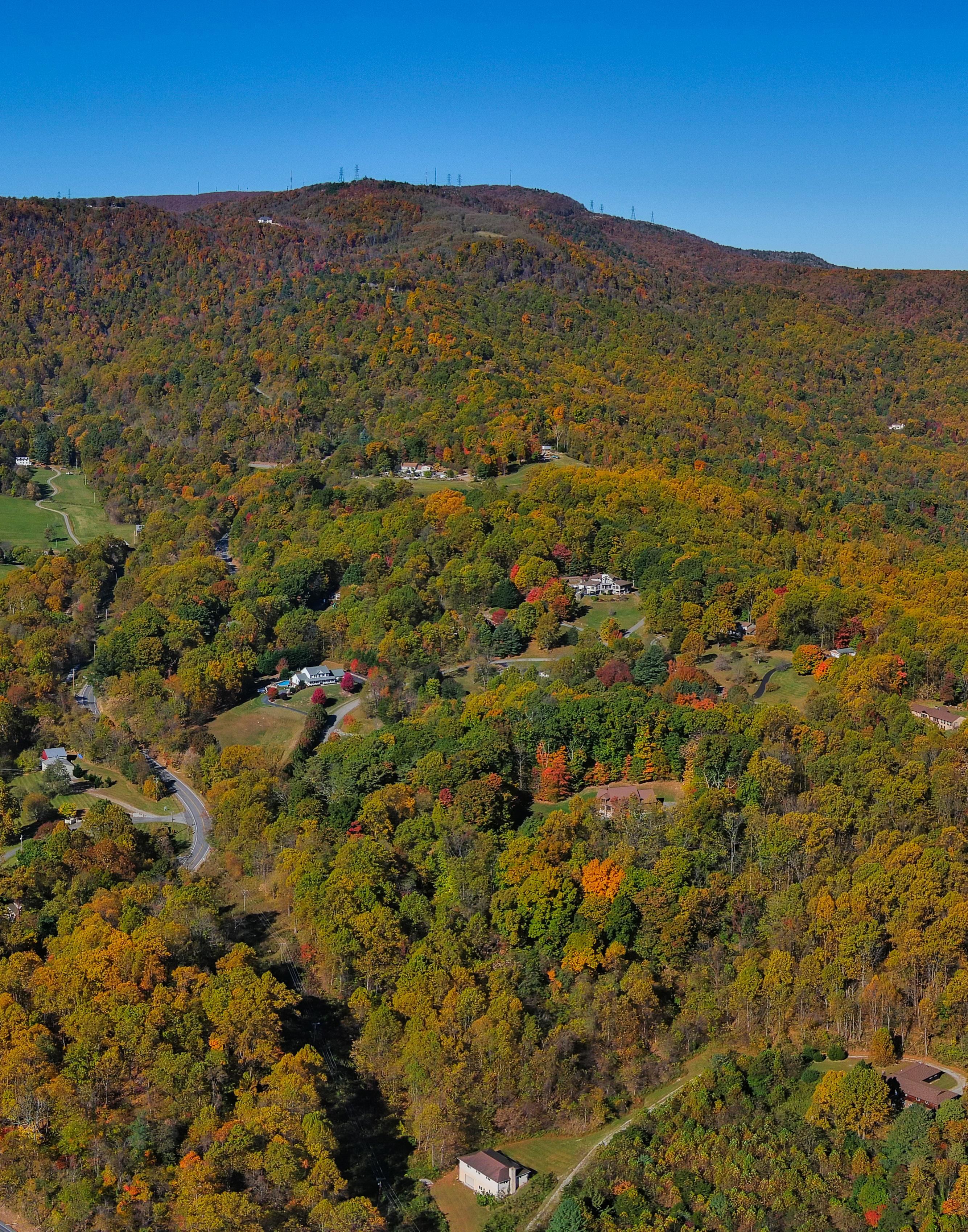
The Bent Mountain Community Planning Area (CPA) is located in the southwestern portion of Roanoke County. It is bordered by the Glenvar CPA and the Back Creek CPA to the north, Franklin County to the east, Floyd County to the south, and Montgomery County to the west. The study area encompasses 860 parcels totaling approximately 13,790 acres. The Bent Mountain CPA is home to approximately 820 people.
Bent Mountain Planning Area includes a small number of businesses along Route 221. This planning area has many amenities including several overlooks along the Blue Ridge Parkway. The Bent Mountain Planning Area is divided by Route 221. The area is located approximately fifteen miles from the Cities of Roanoke and Salem. The Planning Area is rural in nature consisting of agricultural uses, forests, and rural home sites.


Source: 2019 US Census Data
Demographic Trends
• The median age of residents continues to increase as the baby boomer generation ages. The median age in Bent Mountain is 51.2 years.
• Countywide, over the last few decades families living in the same house have fewer people and two-person households are increasing.
• Bent Mountain lost 8% of its population between 1983 and 2010. From 2010 to 2020 population grew 4% to 820 people.
• Countywide there were fewer babies born from 2010 to 2020, but population grew 4.9% due to people moving here from outside the County.
• According to most recent Census data, more than 80% (281) of the housing units are owned, while approximately 19% (67) are rental properties.
• Per capita income is around $39,900 in the CPA for each individual and the average household income is approximately $94,351. This is one of the highest household incomes in the County.
• The average household size is 2.35 persons per household.


Natural Resources
Topography
Hydrology
Floodplains
Soils
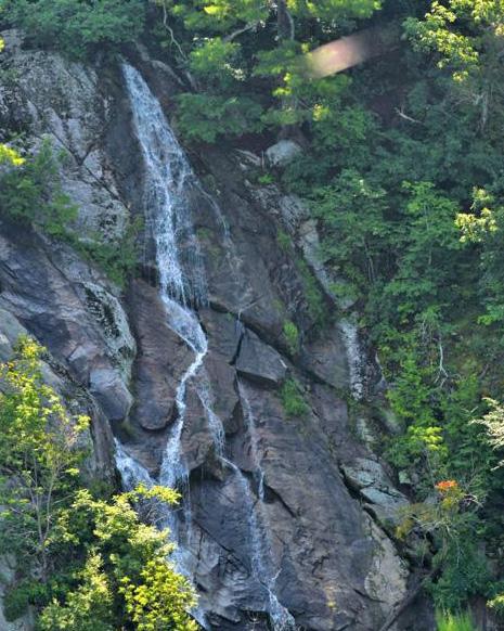
At over 2,600 feet in elevation, the Bent Mountain community is located on a plateau overlooking the Roanoke Valley. Over one third of the CPA is calculated as having a “steep slope” greater than 33% and numerous creeks wind through this mountainous area. Four (4) watersheds divide the Bent Mountain CPA – Back Creek, Big Laurel Creek, Bottom Creek and Mill Creek. A small portion of the Back Creek watershed lies along the northern boundary of the planning area. The Big Laurel Creek watershed lies on the western portion of the planning area and drains into Bottom Creek. Bottom Creek originates near the top of Poor Mountain and drains to approximately the center of the plateau where it joins Mills Creek. The Mill Creek watershed originates near the Blue Ridge Parkway and crosses Route 221 and flows north toward the central plateau. Mill Creek also originates on the opposite side of Route 221 near Coles Road and travels through fresh water emergent wetlands past the Bent Mountain Center and Bottom Creek Road to join the main Mill Creek channel. Mill Creek continues a short distance to tie into Bottom Creek – a Tier 3 stream – one of only three pristine waterways in the State of Virginia. Bottom Creek flows into the South Fork of the Roanoke River.
The geology and hydrology of the Bent Mountain plateau is unique and complex. The hydrology includes creeks and streams including cold water trout streams, springs, seeps, and wetlands. The geology includes shallow aquifers over shallow bedrock which results in a shallow water table. With no public water line in the CPA, citizens rely on their individual well or spring for their drinking and household water. No floodplains are shown in the Bent Mountain CPA. This is a result of the FEMA Floodplain study limits ending before getting to the Bent Mountain CPA.
2,098 acres of land (16%) in this CPA are under conservation easements. A conservation easement is designed to protect agricultural, forest, historic, or open space resources. It prevents the development of a property while allowing continued private ownership and rural uses such as farming and forestry. An additional 221 acres (2%) of land is under public and private protective management.
In 2017, the Federal Energy Regulatory Commission (FERC) approved construction of the Mountain Valley Pipeline (MVP). The pipeline will carry natural gas approximately 303 miles from West Virginia to Virginia. Nearly 8.5 miles of the pipeline is located in Roanoke County. Concerns about the pipeline for the Bent Mountain community and its natural and cultural resources include landslides, pollution, impacts to cultural resources, and impacts to aquifers, streams, creeks, wetlands, seeps, and springs which they rely on for their household and drinking water.


Cultural Resources
Districts
Buildings Cemeteries
Bent Mountain is home to numerous historic resources including homes, farms, churches, and private cemeteries. The former Bent Mountain Elementary School has served as a gathering place for the Floyd, Franklin, Montgomery and Roanoke County region for over 100 years. The apple orchard industry flourished in Bent Mountain during the second half of the nineteenth century and the first half of the twentieth century. Three (3) rural historic districts (RHD), shown on the map below, have been proposed to recognize the significant contributions of the area to Roanoke County’s early history. These include the Coles-Terry Rural Historic District (submitted in 2019), Apple Orchard Rural Historic District (submitted in 2017), and Bent Mountain Rural Historic District (submitted in 2016). The Coles-Terry RHD and Bent Mountain Apple Orchard RHD were both deemed eligible historic districts in 2021, however, no further steps were taken by the submitter to pursue official listing as of January 2024. The Bent Mountain RHD was identified to secure federal permits for the Mountain Valley Pipeline by the applicants and reached the status of “potentially eligible for listing on the National Register of Historic Places.” However, this district did not go to the next level of investigation, where the Department of Historic Resources determines if it actually does meet the criteria for hypothetical listing on the National Register.


Source: Virginia Department of Historic Resources


Community Facilities
The Bent Mountain Center and Bent Mountain Library, together with several commercial businesses, create a village center surrounded by rural homesteads with strong ties to the area’s agricultural past. The schools serving the Bent Mountain CPA include Back Creek Elementary School, Cave Spring Middle School, and Cave Spring High School, which are all located outside of the CPA.
Bent Mountain is served by the Bent Mountain Branch Library and the nearby South County Library in the Cave Spring CPA. Both offer a variety of services for adults, teenagers, children and families. Schools serving the Bent Mountain area are under enrollment capacity. This is consistent with most Roanoke County Public School trends. Back Creek Elementary School, Cave Spring Middle School, and Cave Spring High School are all under maximum capacity.
Bent Mountain is served by the #8 Bent Mountain Fire and Rescue Station. Of the 11 Roanoke County Community Planning Areas, Bent Mountain has the lowest number of Fire-EMS and Police service calls.


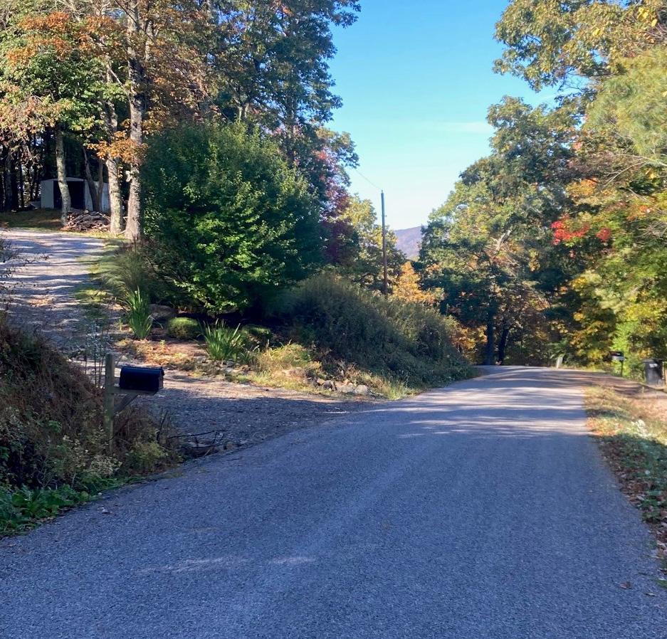
Being a sparsely populated rural area, Bent Mountain is not home to any traditional multi-modal infrastructure like sidewalks, crosswalks, bike lanes, or transit. The only piece of multi-modal infrastructure in the Bent Mountain CPA is a very small portion of the Bottom Creek Gorge Preserve Trails, which are primarily located in Montgomery County. Parking for the Bottom Creek Gorge Preserve can be found off of Bottom Creek Lane, less than a quarter mile from the Roanoke County-Montgomery County line.
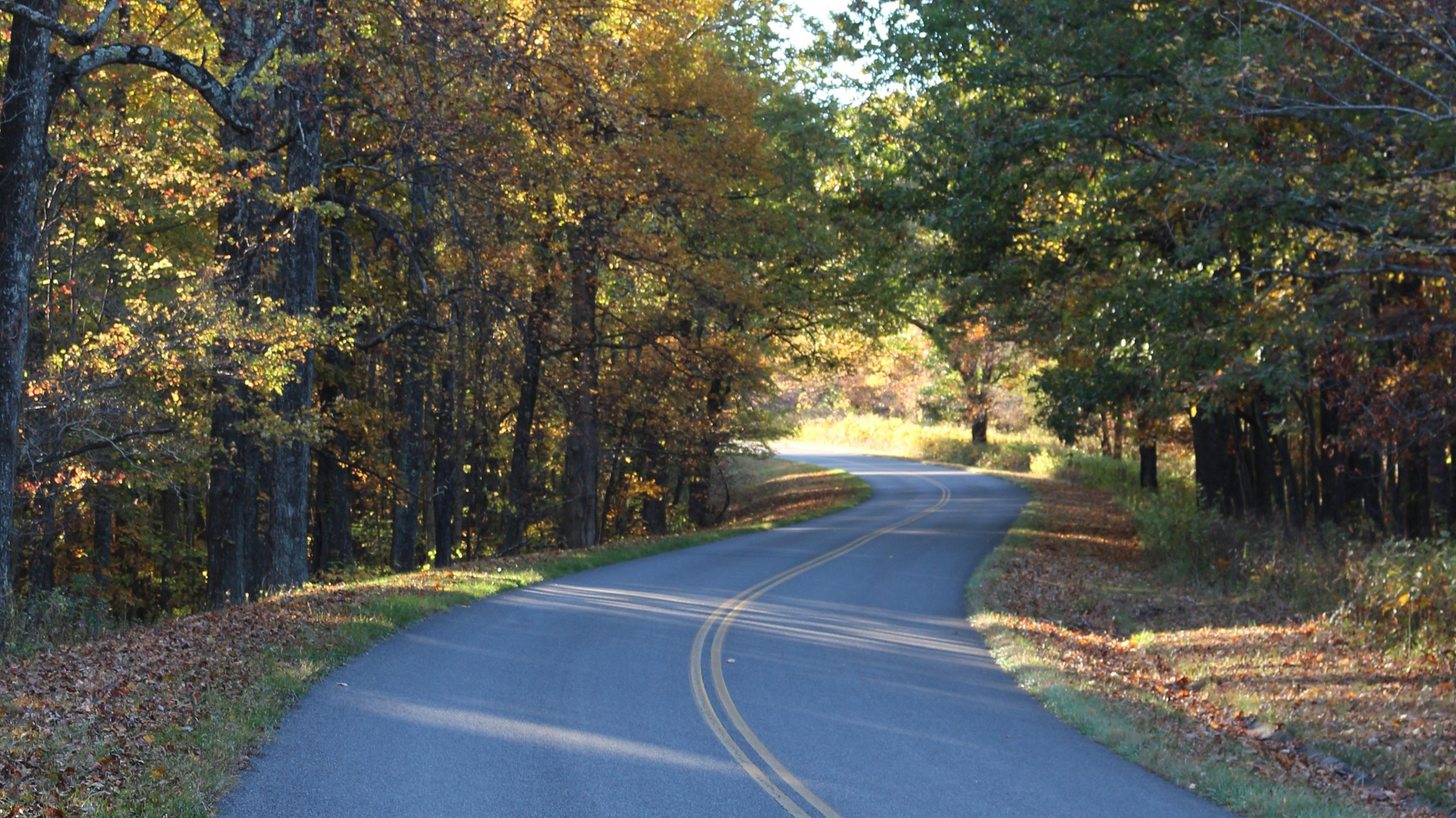
Route 221, Bent Mountain Road, crosses the Bent Mountain CPA from north to south. Route 221 is the busiest roadway in the CPA with 7,500 vehicle trips per day between the Back Creek CPA and Tinsley Lane. The second busiest segment is Route 221 between Tinsley Lane and Ivy Ridge Road with 3,700 vehicle trips. Route 221 also has the greatest number of vehicle crashes.
The paving of a segment of Ivy Ridge Road, a VDOTmaintained gravel road, was completed in 2023.


Existing Land Use
The Bent Mountain CPA includes rural homesteads, agricultural and forested lands and scenic views of surrounding mountains, including Poor Mountain. Key resources include creeks, streams and wetlands, forests and farms, the Blue Ridge Parkway and many scenic views. Route 221 (Bent Mountain Road) runs northeast to southwest across the area, offering one of the clearest views of the Roanoke Valley as it winds up the mountain. The Blue Ridge Parkway skirts the area’s southern border. 91% of the land in Bent Mountain is agriculture, forests and rural home sites.
There are many active and passive farms and forests along with multiple creeks and streams that run through the area. 4% of the land is developed as single-family residential, while 5% of the land is being used for commercial and civic activities, or is vacant.

E

Zoning
The vast majority (99%) of land in Bent Mountain is in agricultural zoning districts with approximately 79% in the Agricultural/Rural Preserve (AG-3) district. The scarce remaining land is zoned for commercial, industrial and village center uses.
The AG-3 Agricultural/Rural Preserve district consists of land primarily used as farmland, woodlands, and widely scattered residential development located within the rural service area. The AR Agricultural/Residential district is generally characterized by very low density residential and institutional uses mixed with smaller parcels that have historically contained agricultural uses, forest land and open space outside the urban service area. The AV Agricultural/Village Center district serves as the focal point for cultural and commercial activity of the rural service areas of the county.
The C-2 High Intensity Commercial district provides high-intensity commercial land uses, typically within the urban service area and provides for a much wider variety of commercial land uses at a regional scale. The I-1 Low Intensity Industrial district allows for low-intensity industrial land uses regulated in a manner to protect surrounding properties and natural resources from potential negative impacts commonly associated with industrial activity. These districts are provided to promote economic activity in the Bent Mountain region.


Future Land Use
The map below shows the future land use designations in the Bent Mountain CPA from the 2005 Comprehensive Plan.
Almost all of the land in Bent Mountain is intended to remain rural and agricultural. 92.6% of the land is designated for Rural Preserve and Rural Village which protects the rural character of the area. 6.8% is designated for Conservation, which includes forest lands near the Blue Ridge Parkway and the peak of Poor Mountain. The Conservation future land use designation is intended to protect environmental, natural, or cultural features from encroaching development. The remaining 0.6% is designated as Village Center surrounding the Bent Mountain Fire Station, the Bent Mountain Center, and the Post Office. These areas are intended to function as rural village centers that serve the local area.


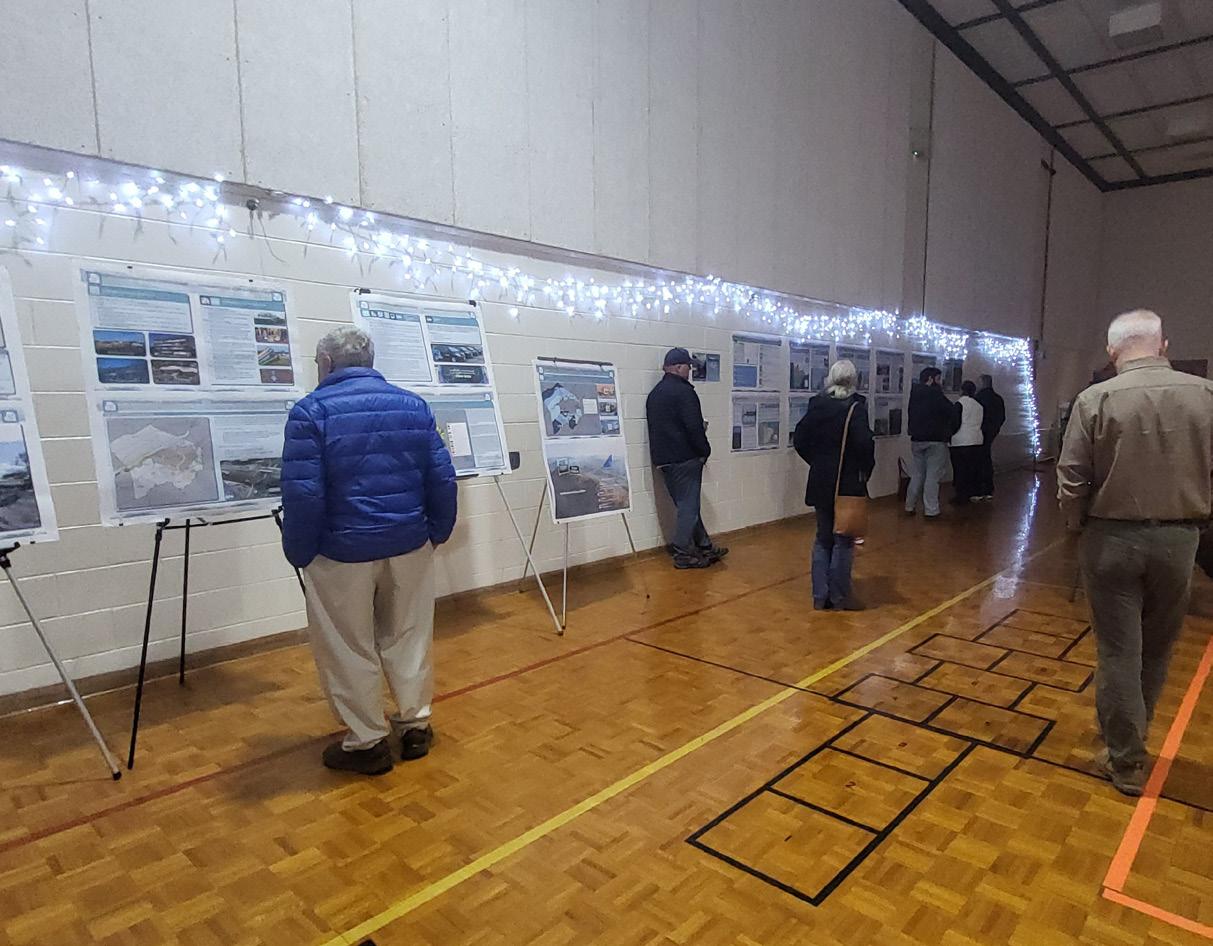
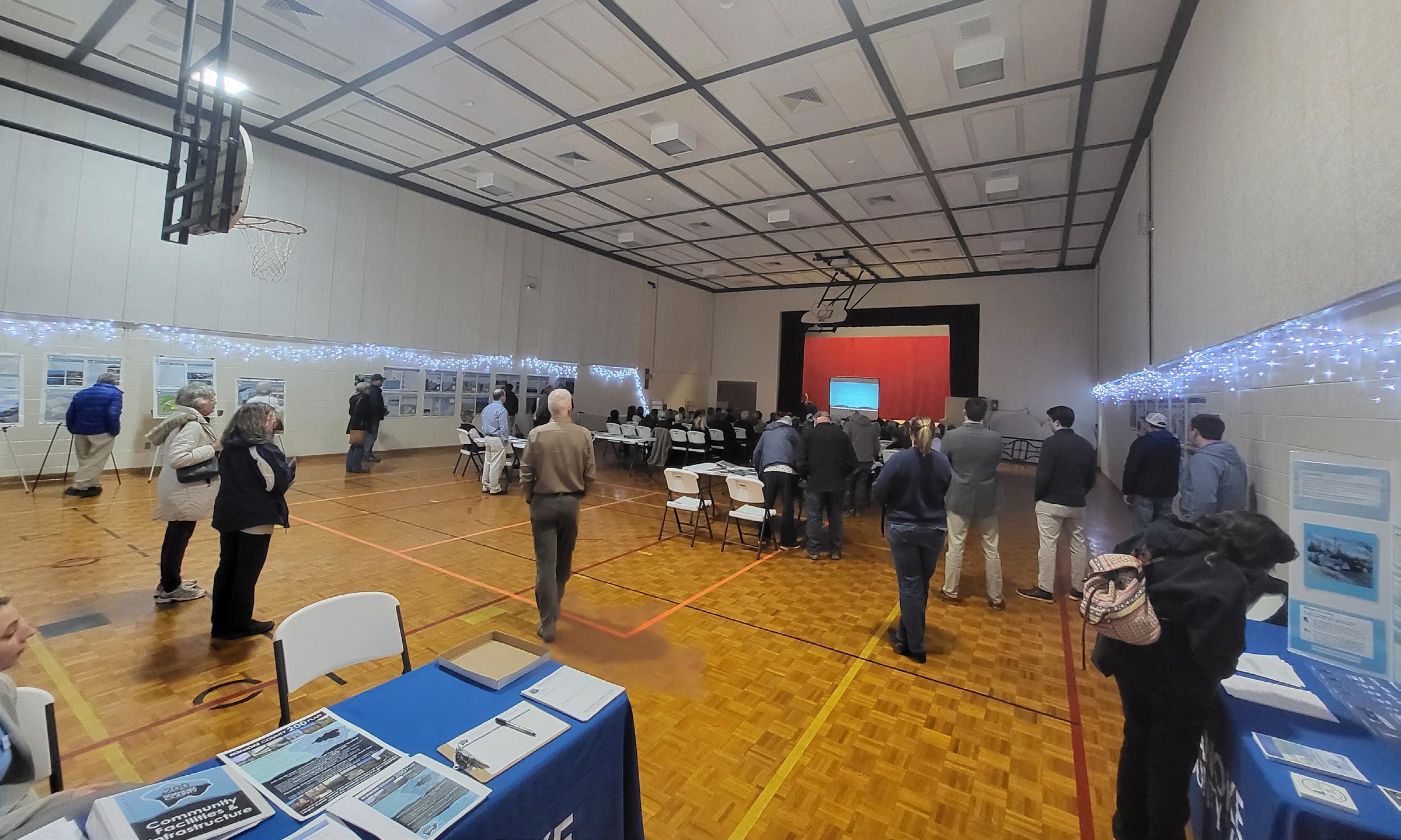
Fall 2021 Community Meetings - Existing Conditions
Twelve (12) planning meetings were held around Roanoke County in Fall 2021 to collect preliminary feedback about community issues and needs. The community meeting for the Bent Mountain CPA was held on November 4, 2021, at the Bent Mountain Center. There were 77 attendees. Citizens were invited to comment on Land Use, Community Facilities, Transportation, and Protection and Preservation. Comments and suggestions from citizens were collected and assembled by staff into a “Post Meeting Summary” document. A digital copy of this document can be found on the Roanoke County 200 Plan webpage.

Fall 2021 Community Input Highlights:
a. Residents of Bent Mountain love it the way it is. Some did not want new development at all, while others are amenable to limited development and new uses.
b. Residents were very concerned about keeping their existing community facilities open and operating at longer hours.
c. Most of the transportation concerns were centered around the safety of Route 221 and the many accidents that have occurred in this area due to speeds on Route 221.
d. Most attendees were deeply concerned about the arrival of the Mountain Valley Pipeline and the impact it would have on their wells and streams.


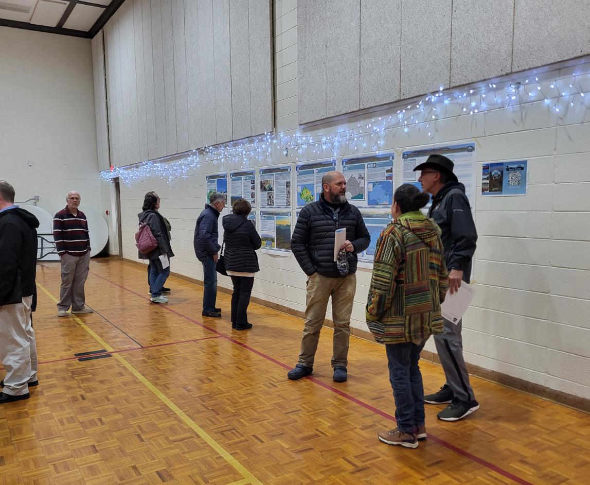
Spring 2022 Open House Meetings - Draft Goals and Recommendations
Seven (7) Roanoke County 200 Plan open house planning meetings were held around Roanoke County in Spring 2022 for citizens to review draft goals and recommendation options based on the feedback received throughout the Fall 2021 community engagement. Draft goals were developed based on input that we received at the community meetings and online surveys in Fall 2021. Citizens reviewed and provided comments on the new draft goals and recommendations that will shape the draft Roanoke County 200 Plan document. The draft goals and recommendations displayed included natural and cultural resources, land use, community facilities and infrastructure, and transportation. The community meeting for the Bent Mountain CPA was held in conjunction with the Back Creek CPA on April 18, 2022, at the Bent Mountain Center. There were 29 attendees.
Spring 2022 Community Survey Highlights:
Natural and Cultural Resources:
The majority (84%) of survey respondents and community meeting participants support recommendations to protect and improve ground, surface and stormwater resources; beautify the County’s public areas, viewsheds and roadways; clean up garbage; protect steep slope areas; protect trees and forests, natural areas and wildlife habitats; as well as protection of historic and cultural resources.
Community Facilities and Infrastructure:
a. Parks, Recreation and Tourism: 87% of respondents support the Countywide recommendations as well as the following items pertaining to the Bent Mountain CPA: 1. Trail connections shown in the 2018 Roanoke Valley Greenway Plan. 2. Evaluate park, trail and blueway options along Back Creek. 3. Collaborative efforts for programming and marketing the Bent Mountain Community Center. 4. Evaluate park and trail needs 5. Analyze potential on- and offroad alternatives for transportation and outdoor recreation. 6. County supported volunteer workdays (i.e., Clean Valley Day).
b. General Services: 94% of respondents support recycling options and assessments of County Fire Department Facilities and the Administration Center building.
c. Public Libraries: 94% of respondents support the Countywide library system recommendations.
d. Communications and Information Technology: 96% of respondents support expansion and improvement of broadband and cell phone access.
e. Public Safety: 100% of respondents support Countywide public safety recommendations.
Land Use:
100% of respondents support the activity centers as shown on the Activity Center Map and 85% of respondents support the proposed changes to the Future Land Use Map.