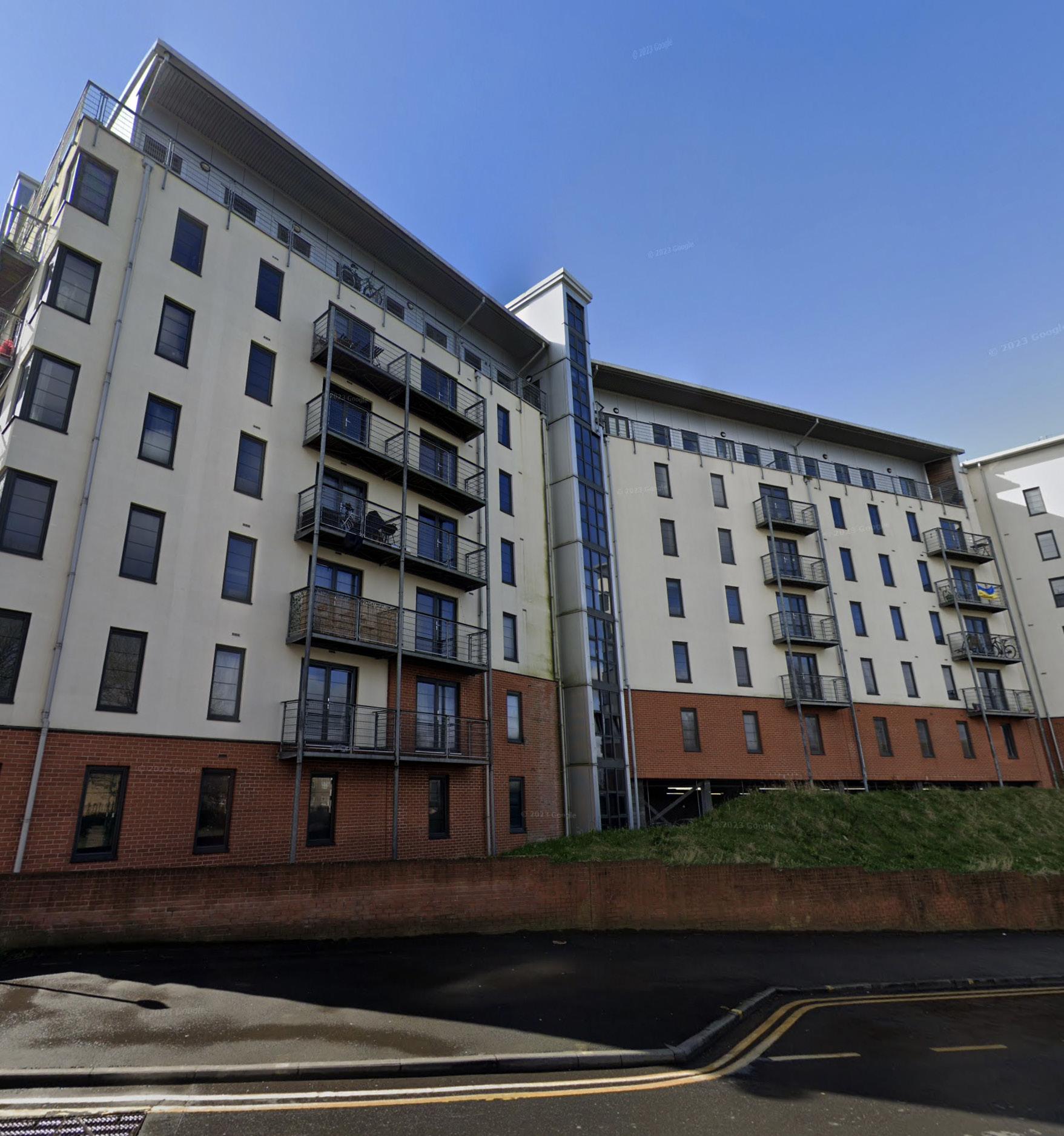
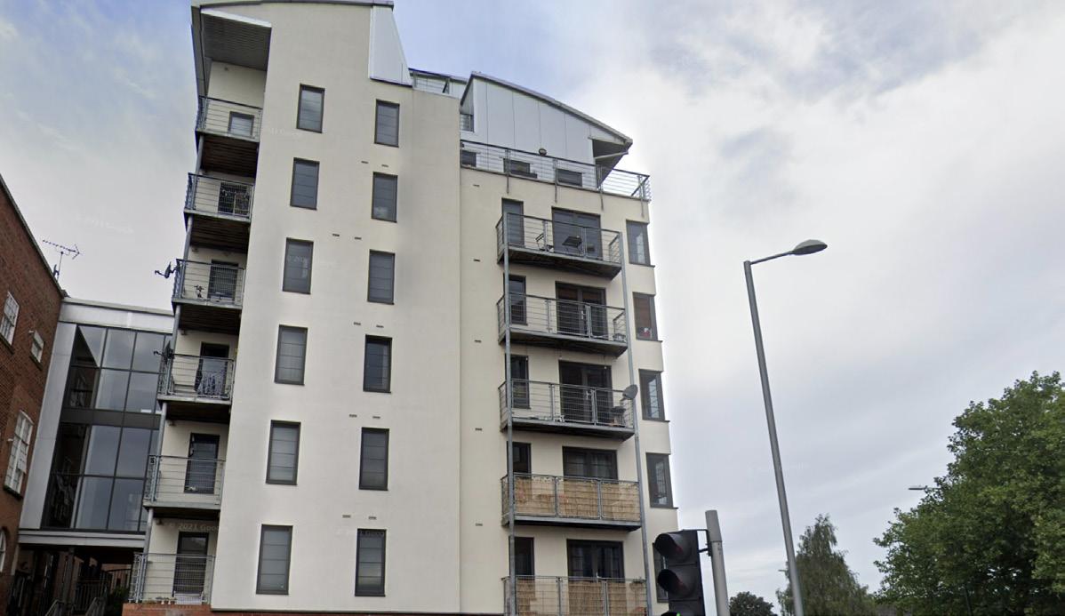
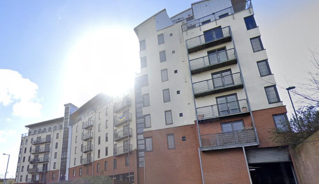
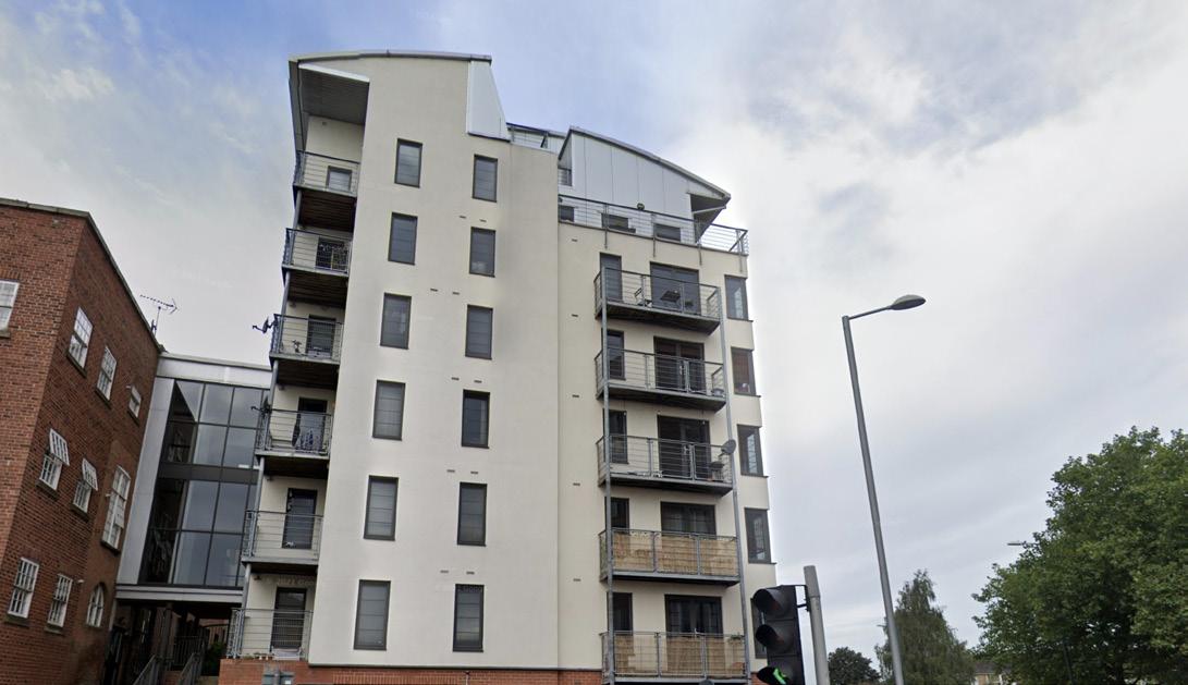
21669 Park West, Radford, Nottingham


21669 Park West, Radford, Nottingham
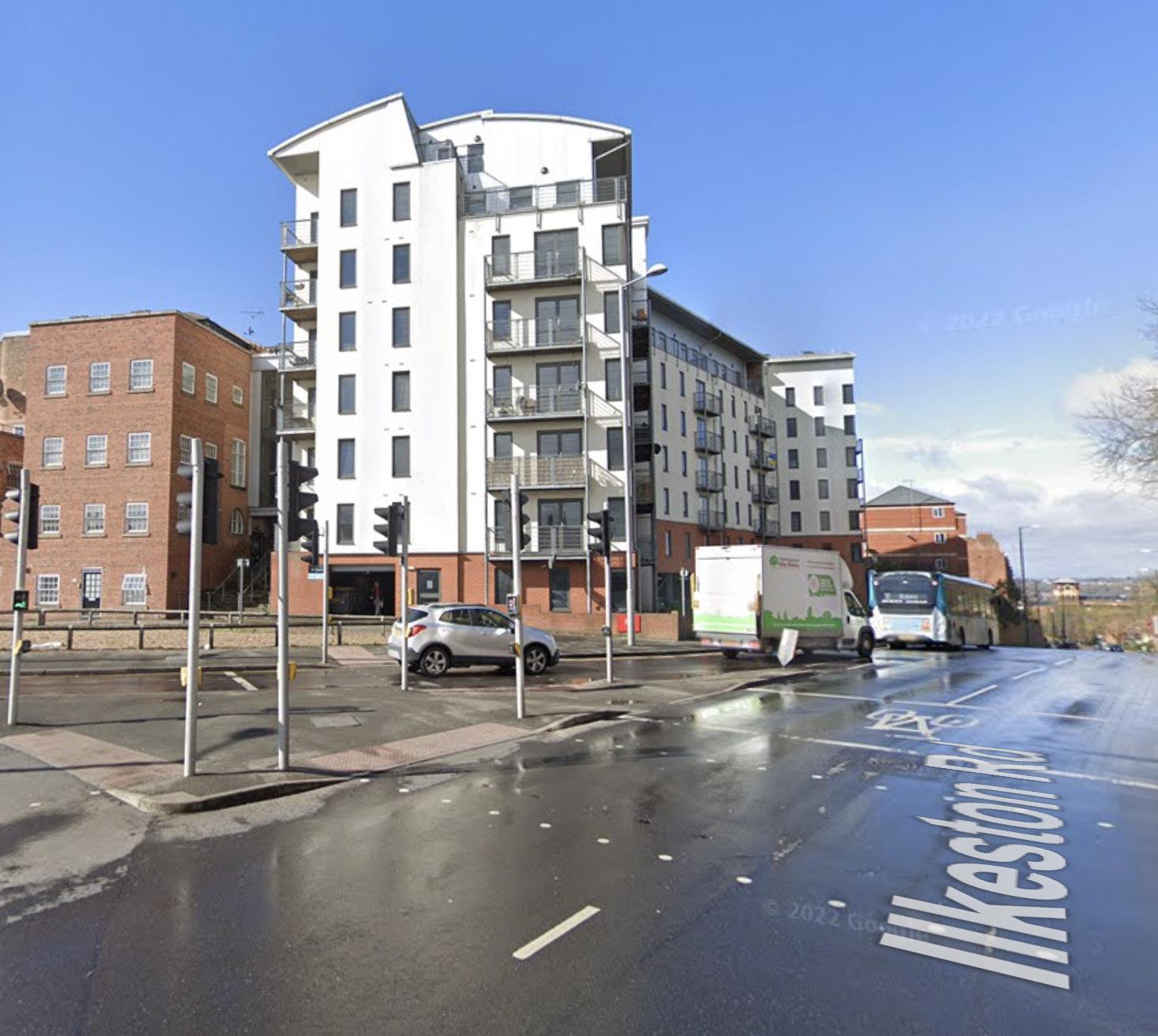
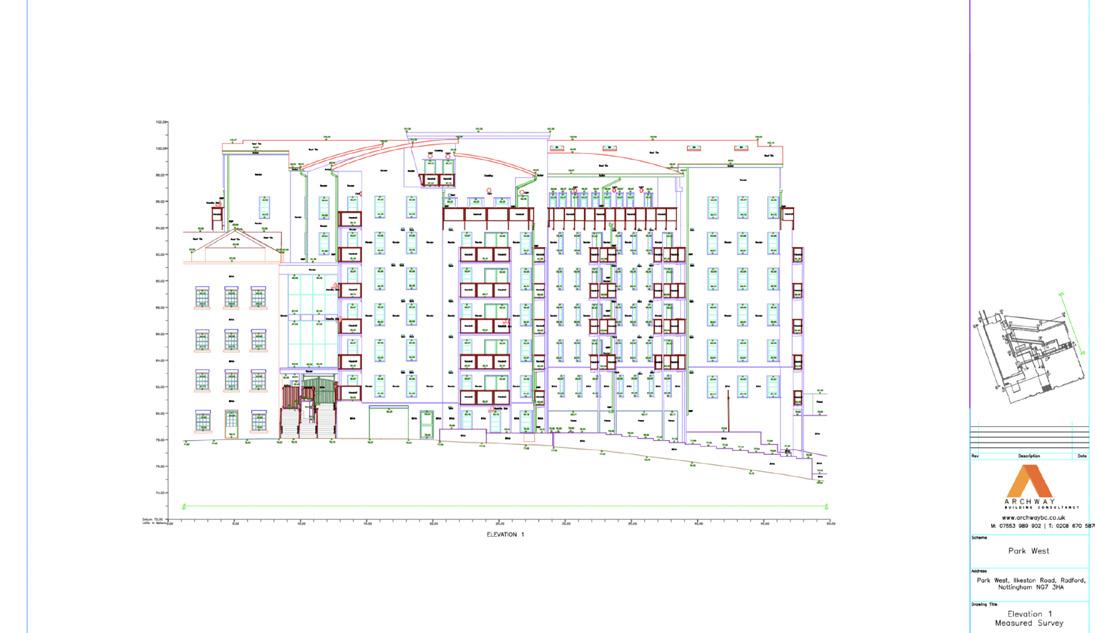
Computer-Aided Design (CAD) modeling surveys, combined with topographical surveys, provide comprehensive data on both the structural and geographical aspects of properties. This case study examines a detailed CAD modeling and topographical survey conducted for the property at 21669 Park West.
The client required accurate building and site modeling drawings, along with a detailed topographical survey to support future planning and maintenance activities. Advanced technologies such as laser scanning, photogrammetry, and GPS were employed to meet these requirements.
• The client at 21669 Park West needed a precise and comprehensive survey to facilitate various planning and maintenance tasks. The specific requirements included:
• Accurate building and site modeling drawings.
• A detailed topographical survey to capture the terrain and features of the site.
• Detailed spatial and asset data of the property.
• Rapid execution to support immediate planning needs.
• High-level survey using advanced technologies to ensure precision and comprehensiveness.
• The CAD modeling and topographical survey were meticulously planned and executed to meet the client’s high standards and tight schedule. The key steps involved were:
• An initial site visit was conducted to understand the property’s layout and identify key areas for detailed survey.
• A detailed survey plan was developed, integrating the use of laser scanning, photogrammetry, and GPS to ensure comprehensive data capture.
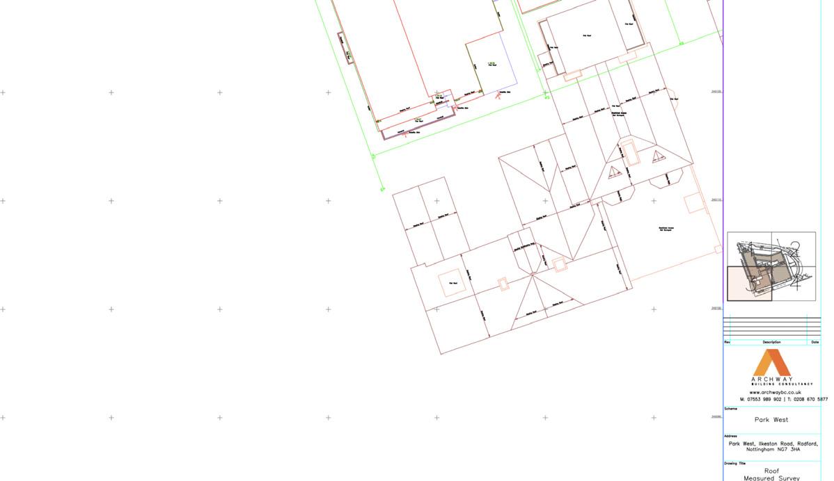
• Laser Scanning: High-resolution laser scanners were deployed to capture detailed spatial data, generating precise 3D point clouds of the building and site.
• Photogrammetry: Advanced cameras captured high-definition images from various angles, facilitating the creation of accurate 3D models through photogrammetric processing.
• GPS: GPS technology was used to accurately geolocate all data points, enhancing the precision of the survey.
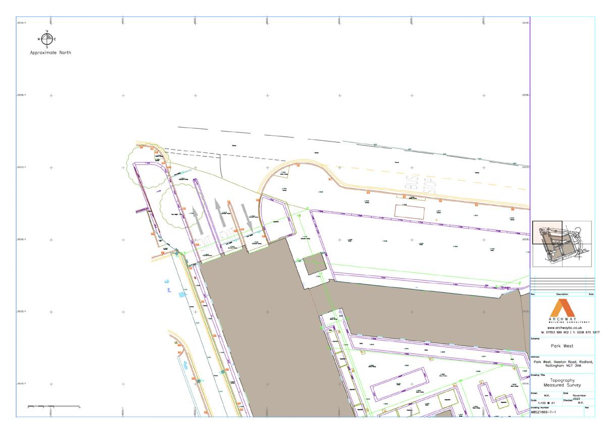
• Topographical Survey: Detailed measurements of the site’s terrain and features were taken using GPS and total station equipment, capturing elevation changes, landscape features, and other critical topographical data.
• The collected data from laser scanning, photogrammetry, GPS, and topographical measurements were processed and integrated into CAD software.
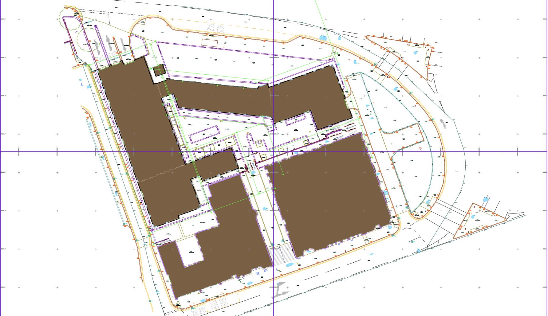
• Detailed building and site models were created, including all relevant spatial and asset information.
• The topographical data was used to create a comprehensive map of the site’s terrain, illustrating elevation changes and landscape features.
• The CAD and topographical models were analyzed by experts to verify accuracy and completeness.
• Detailed drawings were produced from the CAD models, providing comprehensive views of the building and site.
• Topographical maps were created to illustrate the terrain and landscape features.
• A thorough report was generated, including annotated drawings, topographical maps, measurement data, and expert insights.
The CAD modeling and topographical survey for 21669 Park West delivered several key outcomes:
• Accurate Models: The use of laser scanning, photogrammetry, and GPS ensured the creation of precise and detailed CAD models of the building and site.
• Comprehensive Data: The detailed spatial and asset data, along with topographical information, provided a thorough understanding of the property’s condition and layout.
• Precision Topography: The topographical survey captured detailed elevation changes and landscape features, offering valuable insights for planning and development.
• Efficiency: The survey was completed swiftly, meeting the client’s need for rapid data collection and processing.
• Enhanced Planning: The accurate CAD models, detailed drawings, and topographical maps facilitated effective planning and maintenance activities, offering valuable insights and detailed views of the property.
• Improved Documentation: The comprehensive report, including annotated drawings, topographical maps, and measurement data, served as a valuable reference for future planning and maintenance.
The CAD modeling and topographical survey for 21669 Park West highlight the significant benefits of utilizing advanced technologies in building and site surveys. By delivering accurate and detailed models swiftly, the survey met the client’s urgent needs and established a standard for future projects. The integration of laser scanning, photogrammetry, GPS, and topographical measurements ensured high precision and comprehensiveness, providing a clear and accurate understanding of the property’s condition and terrain. This case study underscores the value of innovative surveying techniques in property management and maintenance, ensuring high standards of accuracy, efficiency, and detail.