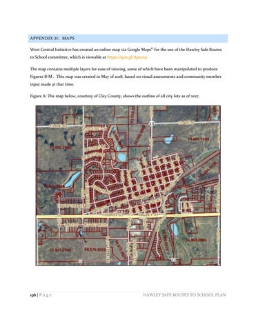
APPENDIX H: MAPS West Central Initiative has created an online map via Google Maps© for the use of the Hawley Safe Routes to School committee, which is viewable at https://goo.gl/Ap2vxa The map contains multiple layers for ease of viewing, some of which have been manipulated to produce Figures B-M . This map was created in May of 2018, based on visual assessments and community member input made at that time. Figure A: The map below, courtesy of Clay County, shows the outline of all city lots as of 2017.
136 | P a g e
HAWLEY SAFE ROUTES TO SCHOOL PLAN


