1 minute read
Interconnection of urban elements


Advertisement
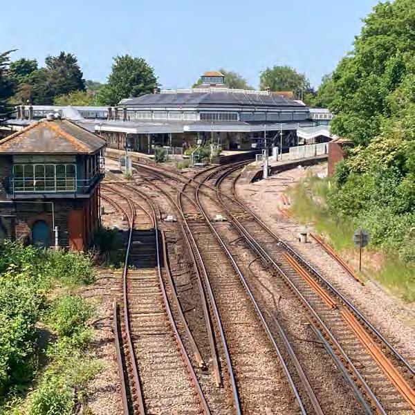
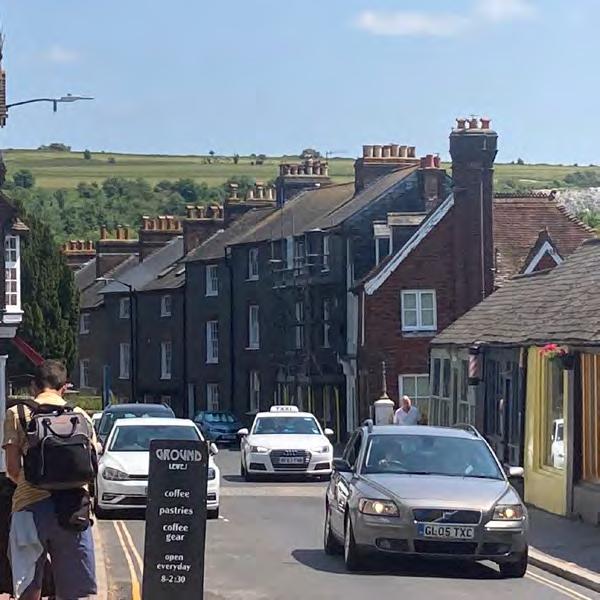
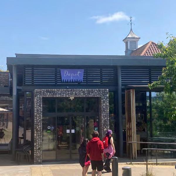
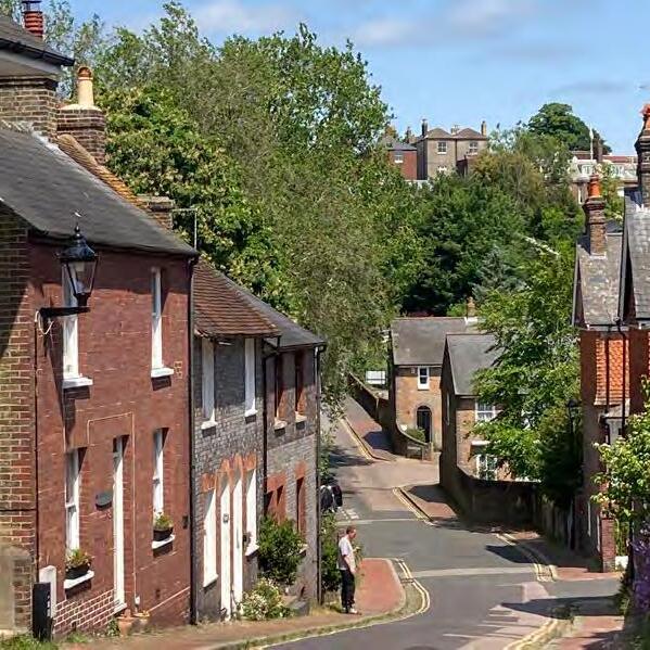
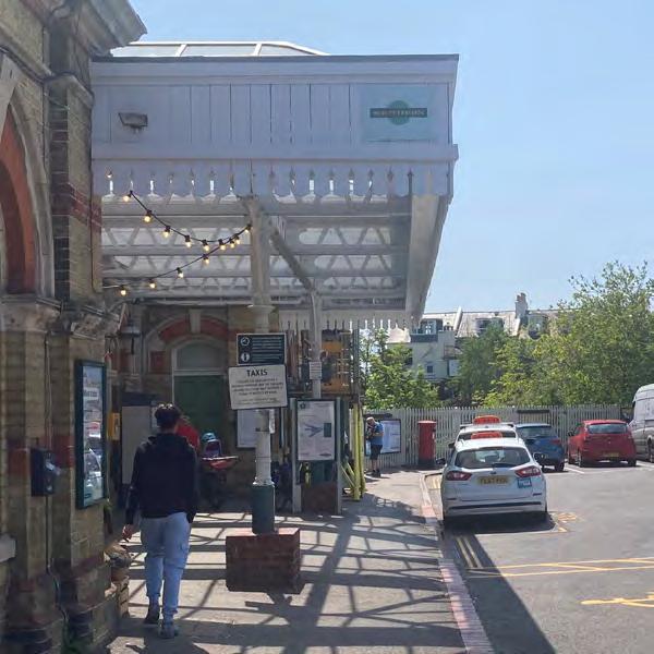
An important factor is the way in which these elements are interconnected and structure the area. Routes suggest views of landmarks and edges. For instance, numerous routes evidence the presence of edges by creating steep vegetated walls, or boundary trees. Many routes also reveal vantage points in the way they are designed in terms of orientation, curvature, openings and built form and scale. A great example of this is the almost constant view of the top of the Downs or the white chalk cliffs from many vantage points on many routes. When these routes curve, the vantage point varies offering a kinetic view of the landscape beyond, but the landscape background remains constant. This pattern can also be found with Lewes Castle, which benefits from being at the highest point in town, but the urban fabric below the castle allows in many cases a visual connection to it from edges, nodes and routes. Even more interesting is the visual communication between several landmarks. In Lewes, the castle is not just visible from random points, but it is visible from other landmarks like the station, as the station is visible from the castle, from the Depot, from the Downs... This interconnection between urban elements would be a useful tool in new designs.