1 minute read
Green and Blue Infrastructure


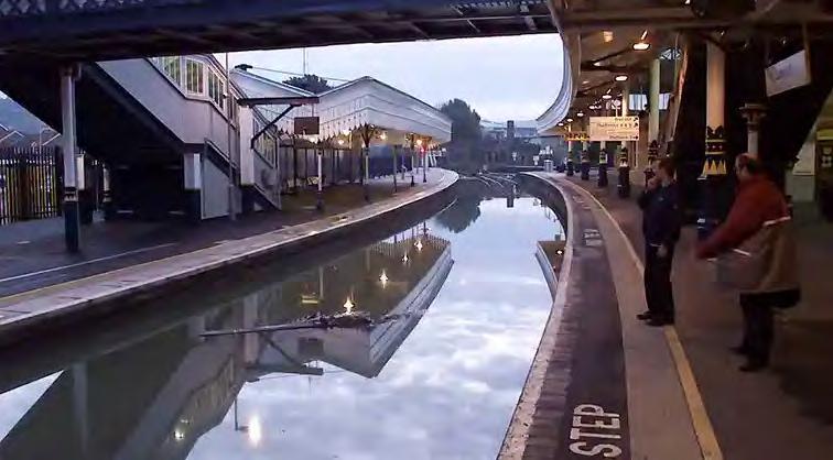
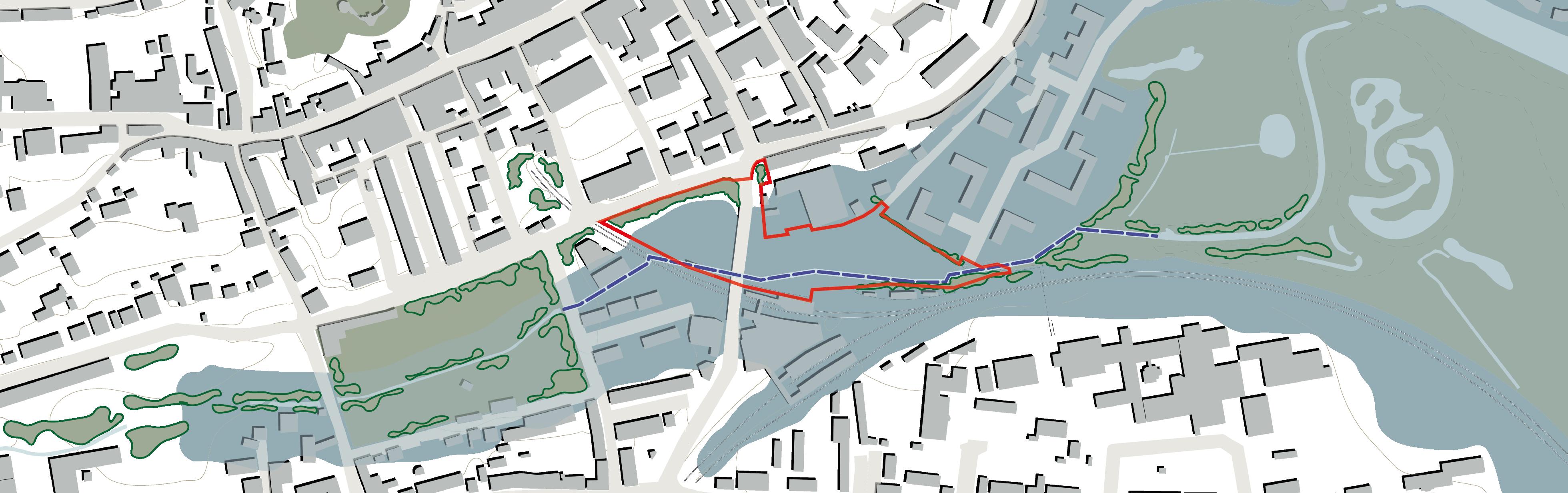
The site barely contributes to the green and blue infrastructure network due to the limited vegetation and water on site. A functional green infrastructure network requires connectivity, joined-up areas of rich and diverse habitats that contribute towards natural processes, including wildlife and water management. Unfortunately, the site is a 100% asphalt gap in between Southover Gardens and other green spaces to the west and the Railway Land flood plain to the east. The Winterbourne is a stream that runs along the bottom of the valley from west to east, but it is canalised under the railway and station car park, so there is no appreciation of the stream.
Given the existing topography and the close distance to the River Ouse, the area falls within an area of flood risk (mostly in zone 2 - medium risk). The 2000 floods illustrated well the extent of this risk.
Advertisement
• The site has the opportunity to connect habitats and enhance the existing stream corridor.
• Flood risk will limit the uses that planning policy support at ground level, and habitable spaces should remain at upper level.