Ecological Surveying Solutions


Geospatial data is everywhere. It underpins our buildings, infrastructure and our increasingly connected and location-dependent world. The value of geospatial data lies in its ability to reveal patterns, trends, and relationships that can lead to more efficient and effective decisions.
We help you to collate, govern and use your project’s geospatial data to its full potential. We manage risk, reduce cost, simplify complexity, and lead our industry as the standard makers
and the recognised mark of quality. Combining our knowledge and expertise with integrated cutting-edge technology, we want to drive a sustainable future that puts data at the heart of informed decision-making, by unlocking the true value of geospatial data.
Our vision is to be the partner of choice for geospatial certainty.
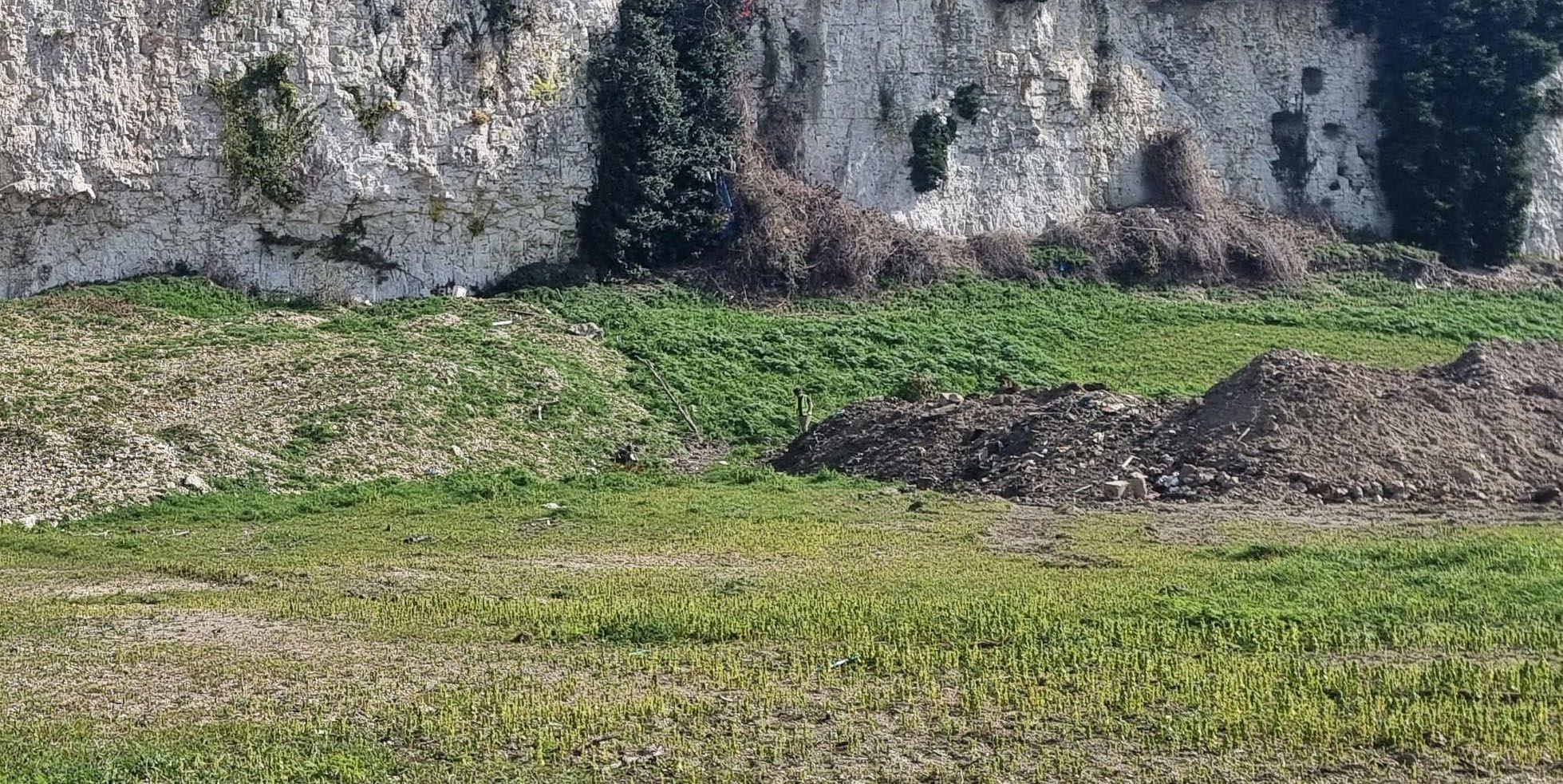
For more than 40 years, Murphy Geospatial has been providing geospatial certainty to our clients in Ireland, the UK, Europe and globally. Our expertise and tech-enabled solutions support our clients to make informed decisions using verified geospatial data and consultancy.
We operate in six distinct sectors and multiple subsectors:


Murphy Geospatial has established itself as a leading provider of ecological surveying solutions within our natural and biological environment. Our surveying technologies and ecological expertise allow us to accurately capture geospatial and ecological data to make presentations via visual maps, both 2D and 3D interactive mapping models such as GIS and CAD.
A better understanding of our natural environment fed by geospatial data enables us to predict its future behaviour, allowing us to limit the impacts of flooding, coastal erosion and for restoration. Verified geospatial data is key to understanding these complex systems. Data-driven decision making will help us preserve the natural environment and live more sustainably.

We work alongside you to preserve the natural environment, monitoring changes and making recommendations whilst delivering on your projects.
Providing a baseline of data about the natural world is important for safeguarding biodiversity and promoting sustainable development.
We work alongside you to preserve the natural environment, monitoring changes and making recommendations whilst delivering on your projects.
We help you ensure compliance with all relevant regulations related to ecological concerns.
Habitat classification is crucial for planning any significant development. It enables environmental impact assessments on vital habitats. Murphy Geospatial utilises resources like OSI historical maps and updated 1:20,000 maps to pre-assess survey areas. Our in-house Aerial Survey team enhances this with high-resolution orthophoto mapping and open data sources on species distribution. After initial desk studies, we conduct high-accuracy field surveys to validate habitat distribution. This data helps evaluate conservation value, status, and habitat integrity. Our habitat classification surveys combine geospatial data capture and ecology expertise, delivering highly accurate, visually intuitive results.
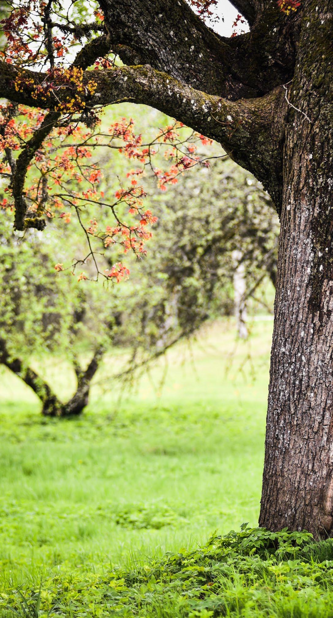
Invasive alien plant species are widespread across Ireland. Murphy Geospatial precisely identifies, quantifies, and digitally maps the distribution, location, and density of various high and medium impact plant species, including:
• Rhododendron ponticum
• Cherry Laurel (Prunus laurocerasus)
• Japanese Knotweed (Fallopia japonica)
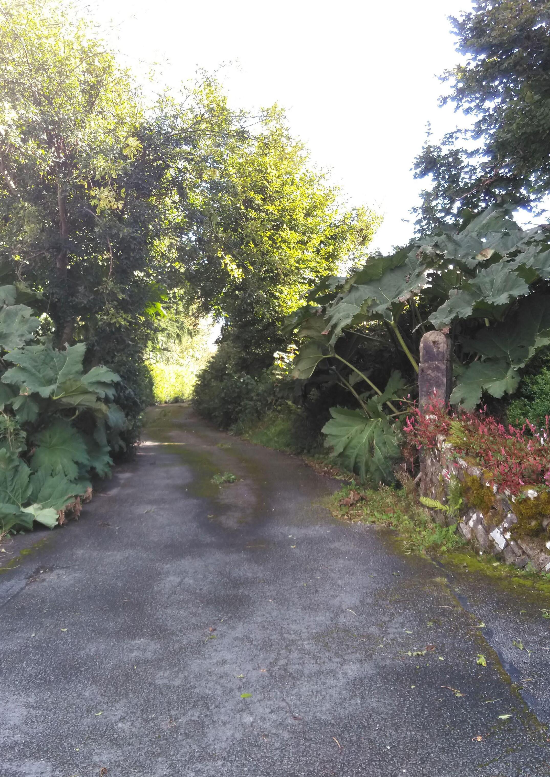
• Giant-rhubarb (Gunnera tinctoria)
• Himalayan Balsam (Impatiens glandulifera)
• Giant Hogweed (Heracleum mantegazzianum)
• Butterfly-bush (Buddleja davidii)
• Three-cornered Garlic (Allium triquetrum)
• Winter Heliotrope (Petasites fragrans)
• Sycamore (Acer pseudoplatanus)
By establishing a baseline of survey data, you can estimate costs and resources needed to tackle invasive species within area or region of infestation. Following the initial clearance, we can support with monitoring surveys to reduce the risk of further invasion.
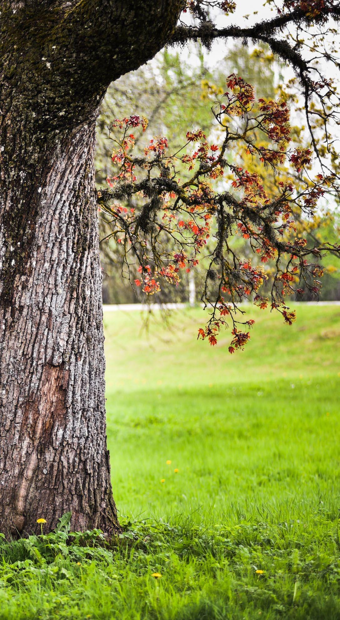
Badgers and their setts are protected under the Wildlife Acts in Ireland. An Environmental Impact Assessment Report (EIAR) is required for any development near setts. All field surveys must be carried out by experienced ecologists and have regard for relevant guidance including, but not limited to:
• National Road Authority’s (NRA) Ecological surveying techniques for protected flora and fauna during the planning of National Road Schemes (NRA, 2009) and
• Surveying Badgers. An Occasional Publication of the Mammal Society (Harris et al., 1989).
Badger setts are assessed on activity, entrances, and physical characteristics, classifying them as main, annex, subsidiary, or outlier, and usage as well-used, partially used, or inactive.
We geospatially locate and classify badger setts, providing detailed reports to protect these features from development disturbances.


The Marsh Fritillary (Euphydras aurinia) is Ireland’s only legally protected butterfly, safeguarded under Annex II of the EU Habitats Directive, the Bern Convention, and the Wildlife Act 1976, as amended. Classified as ‘Vulnerable’ on the Red List of Irish Butterflies, it faces a high risk of extinction.
Colonies inhabit various environments, such as sand dunes, grasslands, fens, bogs, and upland heaths, relying on Devil’s-bit Scabious (Succisa pratensis) and extensive grazing to maintain their habitats.
Murphy Geospatial conducts surveys following best practices like the NRA’s ecological surveying techniques and the NBDC’s methodologies. These surveys, often needed when suitable habitats or local records exist, assess habitat conditions and track adult and larval populations. Surveys take place in May/June for adults and August/September for larvae, focusing on counting larval webs and evaluating vegetation conditions to ensure effective conservation.

As development encroaches increasingly on our natural environment, knowledge of trees and their management is essential. To maintain a healthy tree population whilst ensuring that risk to people and property is reduced, careful assessment by our tree experts is a proactive way to protect the natural environment.
Tree and site assessment is an essential element in the effort to prolong tree life and longevity. Using cutting-edge surveying technology, established field methods, and modern equipment, we offer top-tier tree assessment and management services. This approach ensures we identify what grows well and where, delivering the best outcomes for our clients and the environment.
We offer a complete package of arboricultural services which include the following:
• Tree surveys: BS5837 (2012) in relation to design, demolition and construction
• Tree surveys and consultancy for planning and development
• Tree surveys for motorway management
• Tree surveys for risk assessment
• Arboricultural impact assessments
• Arboricultural method statements
• Arboricultural tree constraints plan
• Arboricultural tree protection plan
• Tree preservation order review
• Tree geotagging
• GIS mapping
• Tree canopy mapping and management
• Ash tree assessment for Hymenoscyphus Fraxineus (ash dieback)
• Consultancy for tree planting design
• Consultancy for tree planting management
• Urban tree planting and management including root barrier installation
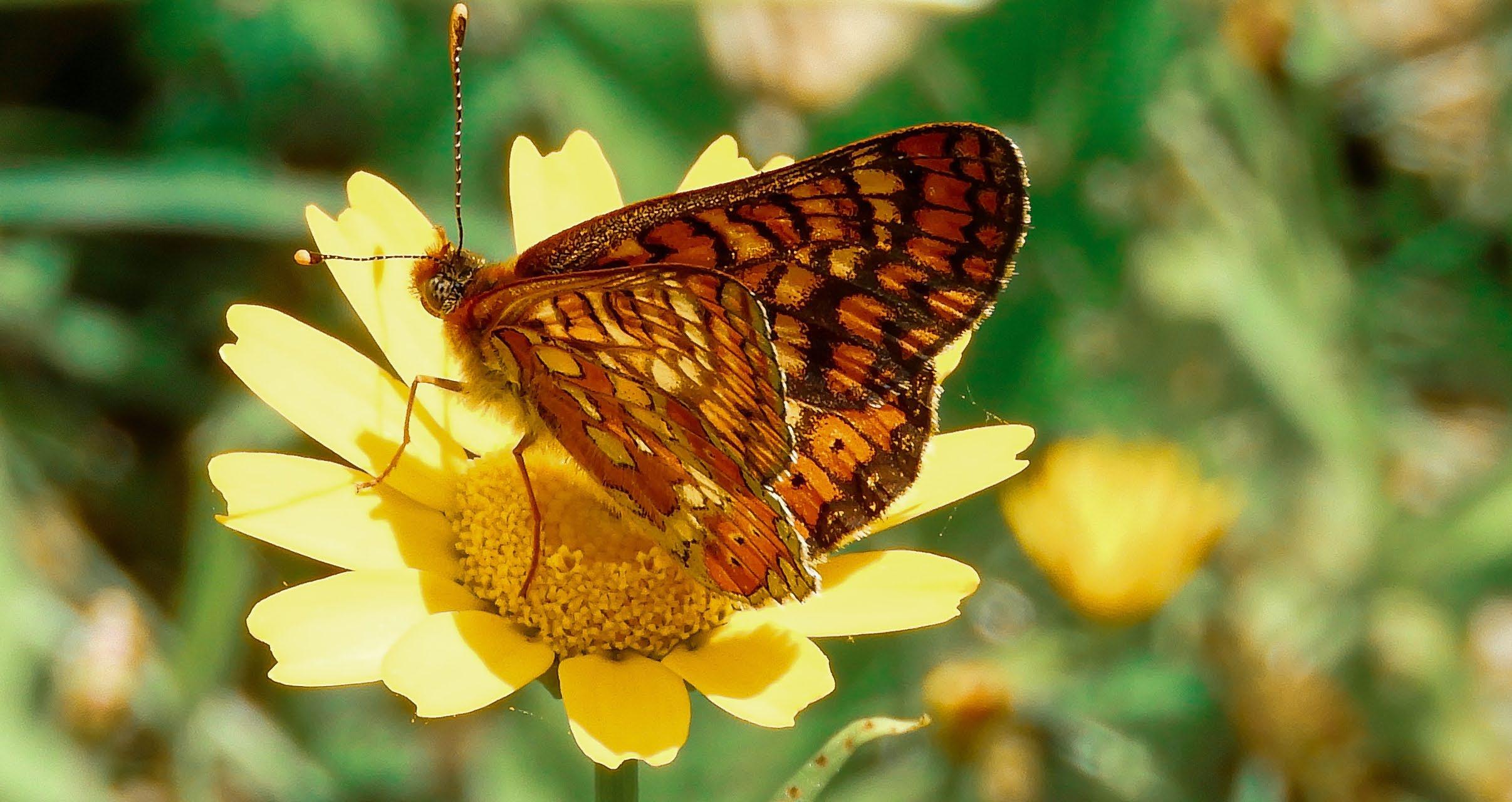
Silviculture involves the art and science of managing forest vegetation for diverse objectives, not just timber. In addition to our arboriculture services, our qualified foresters provide precise geospatial surveying services, ensuring effective management for wildlife, water, recreation, and aesthetics, alongside our comprehensive arboriculture services.
• Woodland surveys
• Woodland inventory
• Woodland design
• Woodland creation
• Woodland management plans
• Hedgerow surveys
• Silviculture consultancy
• Mapping
• Certified species maps
• Biodiversity maps
• Fencing maps
• Forest roads planning, mapping and application
• Grant application with The Department of Agriculture, Food and Marine (DAFM)
• Woodland maintenance (urban and rural)
• Consultancy and supervision
Invasive Species Survey for TEN-T Priority Route Improvement Project Challenge.
Murphy Geospatial was engaged by RPS/Barry Transportation to conduct an invasive species topographical survey for the TEN-T Priority Route Improvement Project. The task was to identify and map all Invasive Alien Plant Species (IAPS) in three areas.
Using RTK-corrected GPS, our team surveyed the infestation sites with high accuracy (+/- 25mm). Qualified ecologists captured the perimeter and identification of each IAPS, presenting the data via GIS datasets and 2D maps. Despite occasional access challenges due to dense vegetation, cooperation from private landowners facilitated smooth operations. The survey provided precise geospatial data on the location, distribution, species type, and abundance of IAPS. This data enabled the client to confidently plan road features and targeted eradication efforts, offering a baseline for future monitoring and management.
[Read the case study in full]











Global House
Kilcullen Business Campus
Kilcullen R56 K376
Ireland
T: +353 (0)45 484 040
E: info@murphygs.ie
9 Millfield House Croxley Park
Woodshots Meadow Watford
WD18 8YX
United Kingdom
T: +44 (0)192 362 4800 E: info@murphygs.com
Ireland
T: +353 (0)21 489 5704
E: cork@murphygs.ie
SK9 3HW
United Kingdom
T: +44 (0)160 626 3019
E: info@murphygs.com
DY4 7HN
United
T: +44 (0)121 630 3074
E: info@murphygs.com
Block 2
Westpoint Court Business Park
JFK Drive, Naas Road
Dublin D12 E138
Ireland
T: +353 (0)1 690 9799
E: info@murphygs.ie
Get in touch_
Austin Commane
Geospatial ConsultantHydrology and Ecology
T: +353 (0)86 200 8490 E: acommane@murphygs.ie
Ireland Head Office
T: +353 (0)45 484 040 E: info@murphygs.ie
UK Head Office

T: +44 (0)192 362 4800 E: info@murphygs.com
Website murphygs.com