POST-COVID19 FOREST & WATER URBANISMS


1 SPRING STUDIO 2021
Belgian Coast, Belgium Master (of Science) Human Settlements & Master (of Science) of Urbanism, Landscape and Planning Faculty of Engineering and Department of Architecture Teaching Team: Joris Moonen, Wim Wambecq (MIDI) with Bruno De Meulder, Kelly Shannon © vzw ‘de Rand’
© Copyright KU Leuven
Without written permission of the thesis supervisors and the authors it is forbid den to reproduce or adapt in any form or by any means any part of this publication. Requests for obtaining the right to reproduce or utilize parts of this publication should be addressed to Faculty of Engineering and Department of Architecture, Kasteelpark Arenberg 1 box 2431, B-3001 Heverlee.
A written permission of the thesis supervisors is also required to use the methods, products, schematics and programs described in this work for industrial or com mercial use, and for submitting this publication in scientific contests.
2
3
TABLE OF CONTENTS
4
Dune Coast - Drifting (in) Dunescapes: Redynamizing the dune coast from De Panne to Nieuwpoort
Philippa Lankers, Pebri Try Astuti, Gemma Annear, Yifan Hu
Line Coast - Ter Streep: Reshaping urban figures along the creek
Xenia Stoumpou, Arthur Stache, Laetitia Nour Hanna, Yang Yu
Forest Dune Coast - Expanding Coastal Landscapes: The dune forest between tide and flood
Giulia Devis, Bing Du, Valerian A. Portokalis
Polder Coast - Three Waterscapes Towards One Exposed Coastline
Caroline Thaler, Leander Baeke, Ying Li, Donglin Liu
Zwin Coast - Everyday is a Weekend
Carlijne Lelievre, Ariane Cantillana, Percy Juarez
5 06 ACKNOWLEDGEMENTS
01 STUDIO CHALLENGE 03 STRATEGIC PROJECTS 02 SITE VISION 06 14 24 286 26 76 170 206 250
 Arthur Stache
STUDIO CHALLENGE

7 01
©
STUDIO CHALLENGE
BELGIAN COAST
CONTEXT & CHALLENGES
Sea Level Rise & Coastal Defence


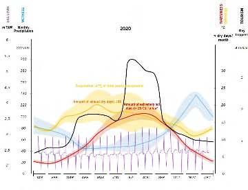
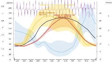
In the coming years, the Belgian coast will have to face several challenges. Like most littoral areas in the world, the Belgian coast will have to reinvent itself in the coming years. One of the first and most important challenges is the climate changes we will face in the coming years. Sea lever rise (SLR) is estimated between 1 and 3m by the year 2100 and will continue the increase afterwards. The speed of SLR will also increase over time, which is a tendency that has been observed already in the previous century. More than 85% of the Belgian coast is below the 5m line, and therefore potentially flood-prone. (EU coastal adaptation, unknown). This makes the Belgian coast one of the most vulnerable coastlines. It is difficult to predict the exact extent of sea level rise, but according to a study conducted by MUMM (Management Unit of the North Sea Mathematical Model, an initiative of the federal government) in the framework of the CLIMAR project, the sea level is expected to rise by 30 cm to 50 cm by 2040 and by 60 cm to 2 m by 2100, depending on the scenario (CLIMAR, 2011). This rise in sea level will render ineffective the protection systems currently in place on the Belgian coast. Theoretically, there can be the enforcement of the technocratic solutions of dykes, artificial draining, sand refilling of eroded beaches, but it is evident that there are not endless resources to actually maintain or even build the necessary infrastructure to do so. So there is a challenge to be taken into account. How can we rethink our coastal defence in a different way than we have done for the last 100 years?
The rhythms of the coast will change dramatically. The shifts in high and low tide, dry and hot days, heat and water stress, periods of intense rainfall and flood risks... will have enormous impact. source: De Wolf, Ellen. 2021. Nurturing Nature: addressing climate change on the Belgian polders and coast: unpublished master thesis CHANGE ON THE BELGIAN POLDERS AND COAST
8
Water Management in the Polder
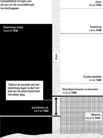

The Belgian coast will also be subject to intense rainfall due to climate change. They are expected to occur more often in winter with an alternation with severe drought in summer. How will the polders evolve under these conditions? Current storm flood predictions by the Environmental Systems Research Institute show that these intense rainfalls will not be able to be drained properly by the polders. Furthermore, with rising sea levels, the entire polder system would potentially have to be rethought. The polders work on a system of communicating vessels.
The water level of the polders on the coast is constant at around 3m. When the tide is lower than three meters, the fresh water in the polders is discharged into the sea to allow them to re-drain again. At present, our tides fluctuate between 0 and 5 meters, depending on the seasons and the moon’s cycle. However, according to MUMM predictions, the ‘zero’ sea level could rise to 3m, which would make the tides fluctuate between 3m and 8m making polders below 3m undrainable unless they are pumped out. These new potential polder conditions are therefore also a challenge to rethink the coast in 2100.
Discharge window
9
Sea level at high tide +4,4m TAW
Dune
Sea level at low tide +0,7m TAW
Tidal ridge +4m TAW
Zwin +5m TAW
Outland polder +2m TAW
Target level rivers and channels +4m TAW
Average height of the sea and the different landscapes Moeren +0,5m TAW
The water can leave during the period in which the level of the sea is lower than the level of the watercourses
A typical dune section. The back dune is the most tolerant for urbanization. Adapted from McHarg, Ian L. 1969. Design with nature. Garden City, N.Y.: Published for the American Museum of Natural History [by] the Natural History Press
The timeframe to discharge freshwater from the polders into the sea will become even more limited in the future. Adapted from Departement Omgeving, Vlaamse Overheid. 2020. Kust en klimaat: Gids voor een gebiedsgerichte aanpak. Brugge: Die Keure.
Urbanization & Tourism
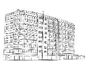
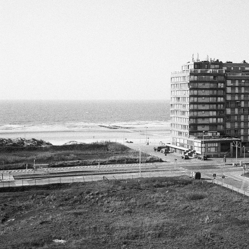
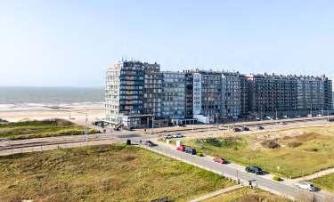
Another current challenge of the Belgian coast, which is also directly related to coastal defence, is the fragmentation of the dune landscape by urbanisation over the years. The Belgian coast is indeed one of the most densely populated in Europe (Vilášek, 2018). Over the years, urbanisation, and more specifically the Atlantic wall, has fragmented the dunescape in order to live as close to the sea as possible. By flattening the dunes, building concrete dikes and imposing apartment buildings, this urbanisation has completely lost its relationship with the landscape. Moreover, the construction of these sea view flats shows the tendency to take into account only the orientation towards the sea without bearing great interest to the dunes, polders, and the edges between all these landscapes. This shows the monointerest in the sea front by residents and visitors alike. This dichotomy between the sea front and the other landscapes, as well as the requalification of the built environment by integrating it more with the different landscapes present, are challenges that the Belgian coast must take up in the coming years. The tourism has followed the same pattern, also focusing solely on the sea front. It is the beaches and the dikes that are taken over by the Belgian population when the first ray of sunshine appears. However, today’s campers and caravans are very few to stay near the sea. It is rather in fields of caravans or bungalows that the Belgian comes to relax on holiday. Tourism, the way the coast is occupied seasonally, is therefore also a challenge that can be rethought.
All these challenges require a reconsideration of the 200-year old linear coastal organization. Do we continue to invest in expensive solutions to maintain the (aged) urbanization?
As consequences of climate change and the present urbanization present themselves as challenges, they can also be seen as an opportunity to rethink coastal urbanization to allow a transition towards a more resilient urban model. The studio seeks to refit urbanization so it can be sustained more naturally by its insertion into the natural dynamics. Nature-based solutions will allow for a more resilient future since they are systemic, evolutive and “smart”, and if well designed self-adaptive to the future impacts of climate change. Climate change then also becomes the pretext to rethink the way the coast functions in itself: as a coastal economy (e.g. the harbours); as a space of movement, as an ecology, as a place of tourism, etc. The studio therefore will focus both on the redesign of the coastal ecosystem as on the functioning of the urban infrastructure.
Vilášek, Marek. “Restart for the Coast - A complex Strategy for the Empowerment of the Coastal Territory in Belgium across the Scales.” Leuven : KU Leuven. Faculteit Architectuur, 2018. case “Line Coast”
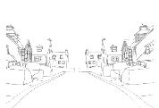
Eu coastal adaptation. “Le changement climatique et la côte belge RW ». Littoral et changement climatique – fr. Date Unknown.
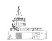
CLIMAR project. « Evaluation of climate change impacts and adaptation”. SSD – science for sustainable development & BSI – Belgian science policy. 2011.
10


Calais Dover DoverStrait Hoek van Holland 55’ Lat. 52 51 50’ 45’ 40’ 30’ 25’ 15’ 55’ Lat. 52 N 50’ 45’ 40’ 30’ 25’ 15’ Long. 3 EAST 4 10’15’20’25’30’35’40’45’50’55’20’25’30’35’40’45’50’55’5’10’15’20’25’30’35’40’ Long. 3 EAST 4 5’10’15’45’50’55’5’10’ CO1 geldof Printed October 2011 and updated up until December 2010 Printed and published magnificentsurroundings.org Tentoonstellingslaan 143, 9000 Gent, Belgium. Supported by the Belgian Vocation Foundation. Edited June 2011 Notice: this map not for navigation. magnificentsurroundings.org makes no warranties representations, express or implied, with respect to this product. magnificentsurroundings.org has not verified the information within this product or quality assured it. This product has been derived in part from material obtained from the IMRAY map C30 Harwich to Hoek van Holland and Dover Strait, WGS 84 Harwich Kent (UK) Nord-Pas-de-Calais (FRANCE) West-Vlaanderen (BELGIUM) Zeeland (THE NETHERLANDS) Zeebrugge Brugge Oostende Nieuwpoort Dunkerque Suffolk (UK) “To live close the sea and with the sea to be aware the biological origins life. is also be aware rythms and patterns tidal systoles and diastoles, wave-shapes and wave-movements, currents and winds, changing meteorology, the multiple variations of coastline and, with all that, have pervasive sense chaos and cosmos, chaosmos.” (Kenneth White 2006) NoordHinderSouthTSS InshoreTrafficZone InshoreTrafficZone SeparationZone SeparationZone SeparationZone SUNK TRAFFIC SEPARATION SCHEME SOUTH SUNKTRAFFICSEPARATION SCHEMENORTH SUNK TRAFFIC SEPARATION Maas West Outer TSS Oosterschelde Westerschelde Maas West Inner TSS Floating Harbour SOUTHERN NORTH SEA the future commons 2070 visit www.magnificentsurroundings.org for the latest information 357910 nm densities of the commons + MAP C01 Harwich to Hoek van Holland and Dover Strait 1:200 000 NieuwpoortBank Kwintebank Buiten Ratel Oostdyck Fairy Bank Westhinder Noordhinder Oosthinder Bligh Bank Thorntonbank Rabsbank Stroombank Oostende Bank Wenduinebank GooteBank Shipwash Cork Sand GunfleetSand SunkSand Long Sand Margate Sand GOODWIN RAAN The Varne The Ridge or Le Colbart SandettiéBank BancBreedt Banc Smal OutRuytingen DyckOccidental InRuytingen BollenVanGoeree Schouwenbank Banjaard Slijkgat Raan
THE BELGIAN COAST
& TOMORROW
DUNE COAST
The wide dune system in the west of the coast is impres sive. It not only provides a natural coastal defense, but has become an attraction for urbanization. The old town centers are positioned at the edge of polder and dunes, and a new ‘badplaats’ was developed directly at the coast. The qualities of the in-between dune landscape have re sulted in a piecemeal fragmentation of this exceptional environment: an urban mesh has fixed the dunes. A de fragmentation program has been initiated to allow the reconnection of different nature areas. What if we take this defragmentation to its essence! What do we need to realize a coexistence of a dynamic dune landscape with a renewed urban component?
LINE COAST
From Wetende to Oostende polder and sea are closest to gether. The sequence sea – beach – dyke – urbanization – royal avenue – tram – polder is so thin that sometimes just pieces exist. The coast strongly erodes here and the actual height of beach and dyke is quite low. Sea level rise will have a devastating impact on this coast. The systemic connection between polder and sea needs to be rethought together in order to respond to the fragile nature of this piece of the coast. Today, this fragile nature also gives a specific identity. Is this piece of coast so thin we should break it open? What does the connection between polder and sea mean then?
FOREST DUNE COAST
The piece of coast between Os ic in itself. The coastal afforest in the nineteenth Century ha character. Urbanization and this landscape, yet also form the royal lane is questioned highway and a reduction of this help the systemic dune fo transformation mean in the change and new modes of mo bility go hand in hand!
12
< De Panne Nieuwpoort > < Westende Oostende >
TODAY
< Bre
POLDER COAST
Ostend and Wenduine is icon orestation by Van der Swaelmen has defined its forested dune infrastructure lie fluently in disruptions. The 2x2 lane of here: what about a new bike the road profile? How can formations and what can this town of De Haan? Climate mobility go hand in hand! mo
In this segment the polders are low and close to the coast. This results in accentuated height transitions between both. Here, the sea port of Bruges pierces the polder in wards, and pierces the sea outwards. It is a system in itself that blends draining canals and hard coastal defense sys tems and sluices. In the margins pieces of a village and immeasurably rich polder nature can be found. Can we explore a less space consuming and more spatially div ers attitude for the port? How can we use new port infra structures as a way to steer towards a polder-sea interface that is inclusive and integrating?
ZWIN COAST
The most eastern piece of the Belgian coast is under the influence of the Scheldt mouth and strongly erodes. Every year sand is deposited on the beaches to sustain them over the summer. It’s a quite exclusive piece of the coast with a densely established urban configuration. New investment happen on the coastal front in the form of new towers, and in the back of the polder where a special water land scape is easily created. Despite attempts of densifications, the main urbanization is still simply expanding into the polders. How can we refit this balance? How can urban ization pressure meet systemic coastal design?
Wenduine ><
13
Bredene
Zeebrugge
>
< Heist
Knokke
>
 Arthur Stache

15 02 STUDIO VISION©
(discontinued) DYNAMICS OF THE BELGIAN COAST following the eponymous essay by Philippa Lankers, 2021
an urban mesh
Piecemeal appropriation of land has resulted in an urban mesh which has descended upon the dunes and thus fixed a dynamic landscape.
The coast is enigmatic, the coast is multiple. The coast is also contradictory.

lines drawn in the sand
In the meantime we continue in our linear fashion. Following the layered recipe from beach to ‘atlantic wall’ and dunes to polders. These are the elements that cut the system into fragments.
16
Caroline Thaler
Philippa Lankers
Xenia
Stoumpou
Joris Moonen
natural (/) order
Similarly, the rhythmic dynamics of the tides are choreographed (rather incredibly) to the preferences of human occupation.
The coast wants to be enigmatic. The coast wants to be multiple. The coast wants to be marvelously dynamic.
invisible forces: disrupted to disruptor
Natural forces will become the disruptor. It is coming. It is the invisible made shockingly, devastatingly visible.
year 2100 low-tide level year 2100 high-tide level
current harbour wall year 2100 storm waves
year 2100 high-tide waves
current dyke
year 2100 high-tide level
year 2100 storm level year 2100 low-tide level

17
Yang Yu
Xenia Stoumpou
Giulia Devis
Philippa Lankers
Coastal defence
The use of dunes as the main protective element against sea level rise comes from two distinct, yet fundamental observations. First, the systematic use of hard dikes on a global scale seems neither able to produce a qualitative response to the challenge in regards to public space nor in light of the coastal ecosystems at stake. Second, the existing dune landscape is often interrupted and inactivated either by urbanisation or excessive artificial vegetation. Finally, offshore islands emerge wherever bathymetry allows to create a first defence system as the damping of wave energy reduces the need for protective interventions on the coast. The 2100 vision seeks to reinstate a dynamic dune ecology and employ both rewilding and the reemergence of a common cultural meaning and identity to the coast.
Water figures
The land laying behind the dunes has been reclaimed from the sea over centuries and is consequently now characterised by an elevation that does not exceed 5 metres above the current sea level. The topographical analysis of the 3 metres level reveals the hidden structures of the territory. It is proposed to use these strategic topographical figures to deal with the question of fresh water management, a crucial challenge for a polder landscape. The bold renaturalisation of once existent water streams allows for fresh water storage and the hierarchisation of water flows (collection, distribution and evacuation). Some specific and safe locations along the coastline make place for seawater inlets. They in turn create tidal landscapes that enter in close relationship to freshwater ecosystems. This interface becomes an ecologically rich ecotone like the Zwin.
Polder character
The model of the polder as an artificial and superimposed landscape needs to be reformulated. More and more this productive landscape will have to diversify in order to be able to cope with the changes ahead. The vision proposes to locally de-polderise in favour of the creation of freshwater ponds and marshlands. The integration of a wider range of types of agriculture could then go hand-in-hand with the reappearance of a more varied fauna and flora. Community involvement could not only generate awareness and education, but could also become a playground to try new types of cultivation systems such as aquaculture at a bigger scale. The polder as an intensive and mono-cultural productive landscape must come to an end. The water becomes the trigger to move towards a more diverse environment, both in terms of uses and types.
Urban infrastructures
The coast is developed around infrastructures. Whether they are tramlines, national roads, or dikes, present infrastructures are superimposed on the territory and mono-functional. In their current state, they often act as barriers rather than linking structures. As sea-level rise challenges the status of infrastructures, there is an opportunity to radically reconsider their purpose, meaning, relation to public space and organizational power. Infrastructures must gain a dimension where they not only provide services. They are only worth being carried out if they act as a non-redundant enablers to multiple events of actions. Infrastructures lose their nature of objects to endorse the status of performing vectors. This newly acquired multiplicity is the response to the lack of engagement of infrastructures as collectives spaces, they become significant as civic figures.
Multilayered vision
The vision instigates the landscapes and their qualities as the underlying structures both bringing cultural meaning to the coastal territory and carrying rational systemic functioning. The natural systems work as much as ecosystem machines as cultural entities. A greater resilience and adaptability to future change is aimed as well as an increase of quality in the way in which human activities nest within their environment. A sense of layered coherence over the entirety of the Belgian coast, that is what a systemic way of thinking and designing offers in the frame of an inhabited park. Finally, the vision sees coastal urbanism systems to be embedded back and reshaped within natural systems. Living in the dunes, with the sea, with tidal landscapes, along fresh water figures and with new agriculture types; those are the new coastal urban models to work with.
18
Climate change is taken as the very serious pretext to reconsider how to envision the Belgian Coast for the next century. In the frame of this exercise, the projected sea-level rise is proposed to be considered at the height of three meters. In addition, sea level rise translate to a threat coming from the sea itself but also embodies as well a struggle to maintain the polder landscape
as the operational timeframe available to drainage becomes increasingly smaller. Climate change also means a less even distribution of precipitation and consequently an increase of the length and severeness of dry and heat episodes during summer as well as risk of floods during intense rain events. Moreover, the Belgian Coast has known and continues to endure a strong
pressure caused by urbanisation and a capital-driven housing market. These very reasons are the starting point towards a new way to think the Belgian coast as a whole, a new inhabited park, characterised by the particular interaction between inhabited polder and sea landscapes.


19
DUNE COAST
Gemma Annear Pebri Astuti Philippa Lankers Yifan Hu
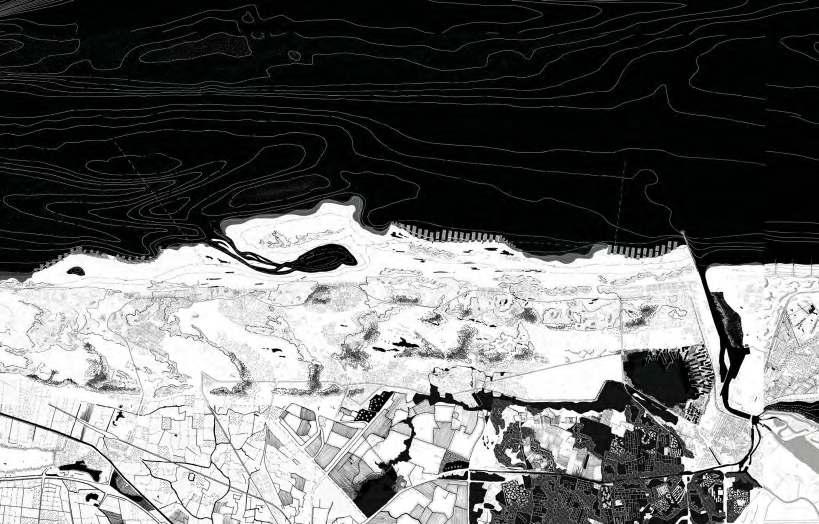
Imagine a coastline that is redynamized and the ecology strengthened for a new conception of inhabitation in the dunes. The current dune system already protects much of the existing urbanisation from flooding but the ecosystem value is hampered because of fragmentation by urbanisation and infrastructures. The main ambition here lies to find a sensible relation between a reconfigured urbanisation and a renaturalised dune system, where the wind and sand accumulation can again can play it’s role. The slope of the beach between De Panne and Nieuwpoort is very gentle so this makes shoreline solutions for coastal defence a viable option. To give the sand system a boost, an extended lagoon area off Koksijde is modelled on the idea of a sand motor. The premise is that it uses natural currents and wind flows to deposit the sand landward. New oyster reefs and living breakwaters are also brought to the shore for productive and recreational landscapes that work as breakwaters and new habitats to encourage biodiversity. The polders, specifically along the Langgeleed and the Yzer valley will be flooded with risen water tables to transform into a freshwater aquaculture environment.
20
Aquaculture
BreakwatersOyster reefsSand motor
Dune forest Redynamized dunes
LINE COAST
Laetitia Nour Hanna Arthur Stache Xenia Stompou Yang Yu
By reading the topography along with flood predictions, the figure of the historic meandering tidal creek is being reintroduced together with the strategic breaking of dikes for the activation of the dune ecosystem. The island originally spanning from Oostende to Westende is reiterated, this time mediating fresh and salty water. The proposal envisions this new landscape entity as a means to address coastal defence needs in light of climate change adaptation, the reshaping of urbanisation, whether temporal or permanent, through the creation of multiplicity while also safeguarding the productivity of the polders. Yet the creek is not a mere figure, but it introduces a systemic vision regarding the storage and drainage of fresh water on the polders together with a system of adjacent ponds. Along it, several activities get reorganised: variations of camping facilities with different temporalities. Finally, coastal protection is addressed through the systemic enhancement of the dune ecosystem along with strategic interventions on the dikes and the rethinking of coastline urban typologies. The creation of islands and sandbanks enhances the sedimentation process and activate the dunes, creating a nuanced coastal landscape.
Freshwater storage of the creek
Coastal typologies Systemic urban reshaping
Redevelopment of tissue through landscape

21
Protective offshore islands
Strategic breaking of the dike and dune enhancement
DUNE FOREST COAST
Du Bing Giulia Devis Valerian A. Portokalis
The forested landscape has fixed the dunes into compact islands of topography in order to allow the creation of continuous lines of infrastructure. These lines, the coastal tramline, the Koninglijke Baan, and the ‘Dune Road’ have thus formed and been formed by the landscape. However, the current condition of the forested dune is far from the one initially projected. The infrastructure lines, by fracturing the topography, have generated small different areas. This project proposes to pass from this fixed to a dynamic topography by rethinking the infrastructure lines that shaped them. This would allow the dune forest to recover a more unified ecology, composed by a patchwork of forested dunes and dynamic dunes. This ambition finds itself completed by more specific interventions. In Bredene, a critical location for coastal defence, a tidal landscape inland is projected. Besides retaining sea water, this new landscape will offer residents and visitors a new way of experiencing the Belgian coast. The town of De Haan repositions itself again within these landscape, the ‘concessie’ as part of the dune landscape, it’s more recent extension it the polder finds a new relation with a sequence of freshwaterponds that defines it’s edge.
POLDER COAST
Leander Baeke Ying Li Donglin Liu Caroline Thaler
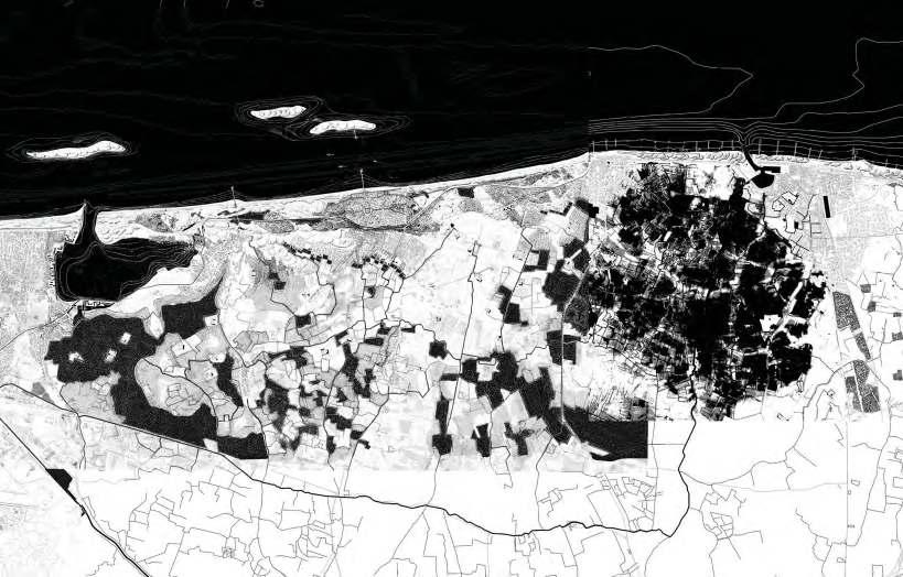
This part of the coast, from Wenduin waterscapes. In this proposal the in the watersystem is redefined. Th much of their picturesque charac proposed here: a new balance of w Along the creek in the central par new practices of tourism: the farm new social infrastructures such as enriches the landscape and complem In the third waterscape man had intensive harbour. This machine without taking notice of its surroun sand to the machine (metaphorica grow and relate to the water lands
22
Agricultural landscape Flooded landscape of the Uitkerkse Polder
Polder water system infiltrates urban tissue
Tidal landscape
Forested dune Recovered dune landscape
Flooded polders
‘Valley’ uses as water storage
enduine to Zeebrugge, is defined by three completely different identity of these systems is strengthened, and their role The first water system, the Uitkerkse Polders, today retain haracter and ecological value. No major interventions are wet and dry will be found.
part of the polder, a network of soft mobility will structure farms will be connected, of which some are expended with as elderly care and/ or camping sites. A new forest structure mplements the now rather monotonous land-use. the biggest influence: canals and docks organise the landhine has been taking over the polder landscape seemingly urroundings. By strategically softening this mass and adding orically speaking), we allow communities and ecosystems to andscape once again.
New soft mobility network & forest patches
New developments to the machine

ZWIN COAST
Ariane Cantillana Percy Juarez Carlijne Lelièvre
In this part of the coast, closest to the Dutch border and strongly under the influence of the Scheldt river, the landscapes that compose it each stand on their own, as separate entities. The Zwin coastal landscape from the harbour to the Zwin park is separated. With a loss of connection between landscape and urban tissue.
The main goal is to enhance each of the singular landscapes that make out this piece of the coast, and strengthen their relations: polder, dunes and the fantastic tidal landscape of the Zwin. Most of the dune system here is heavily urbanised, only small pockets remain. In this proposal the dunes are extended and connected again by a continuous line of dunes in front of the current dyke. The polder itself will be able to accumulate substantially more water by means of a series of ponds along the major canal. Finally, an significant enlargement of the Zwin tidal landscape is envisioned. Where these landscapes meet, new interfaces arise with lots of potential for specific urban interventions: a new relation with the polder for Knokke along the train line, and an extended tramline in Zoute on the new Zwin dyke, encircling a renaturalised golf course.
Expanded dunes on the beach
Reconversion of the golf course into dune landscape
23
Tramline extension
Zwin extension Freshwater ponds sequence
 Arthur Stache
STRATEGIC PROJECTS

25 03
©
26
GEMMA ANNEAR
ASTUTI YIFAN HU PHILIPPA LANKERS
Drifting (in) Dunescapes: Redynamizing the Dune Coast from De Panne to Nieuwpoort
27 03.01 DUNE COAST
PEBRI
French border
De Panne Westhoek Nature Reserve
Nieuwpoort
North Sea
Oostende
The site 14,2km Belgium
28
Belgian Coast Dunescape Zeebrugge
Knokke-Heist
Netherlands border
The Belgian Dune Coast
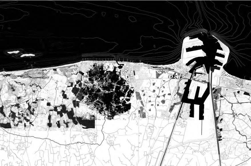
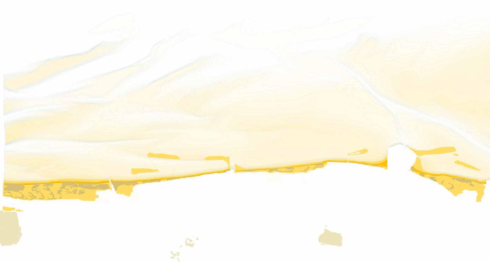
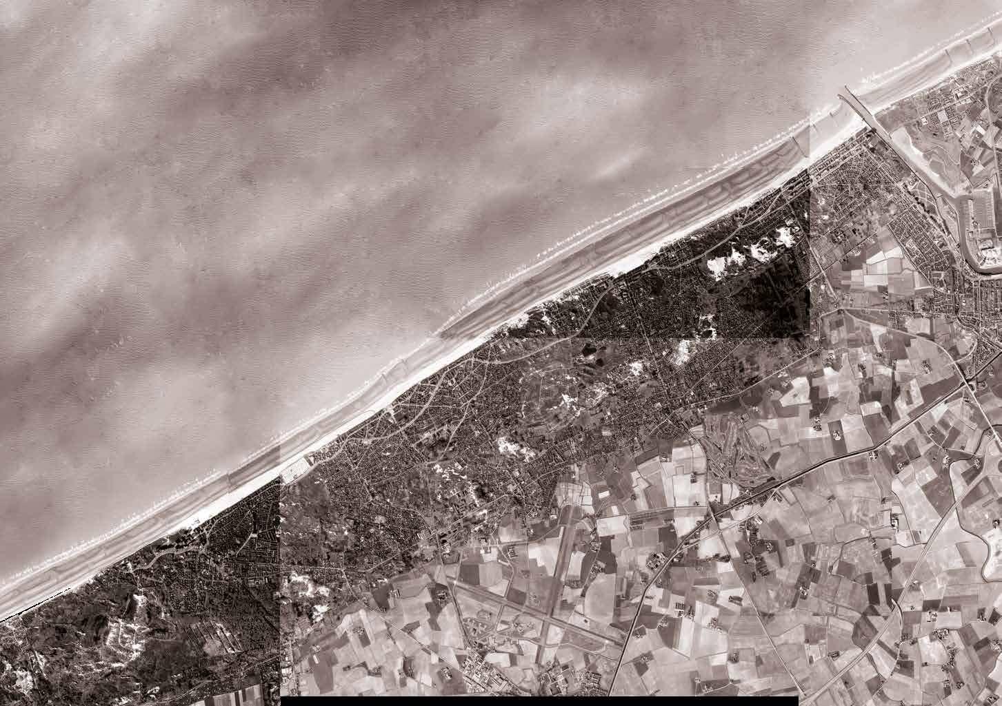
The segment of coast between the French border and Nieuwpoort is characterised by the largest dunescape along the Belgian coast. This dunescape was historically dynamic but in recent decades became static due to touristic urbanisation. The size of the dunescape that minimal coastal protection is necessary here.

29
N

2830 Year: 2100 N De PanneWesthoek Nature Reserv e Koksijde ‘Sand Motor’ Oyster reefsRedynamised dunes Dune forest Breakwaters OostduinkerkeCurrent Condition N Case Study Area
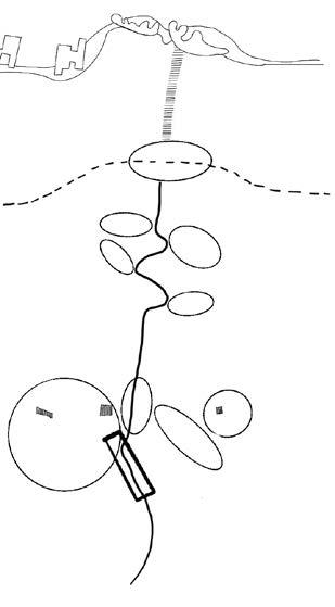
As the latitudinal arrows indicate, the interior realm of the dunescape is conceptualised as becoming sandy and dynamic. Additionally, the traditional dune system runs longitudinally between the beach and polders. As the circles imply, urban clusters, infrastructures and movement adapt to the proposed dune dynamism.


2931
Conceptualising urbanism driven by dune dynamism
ters
Aquaculture
Nieuwpoort
North Sea
Oostduinkerke-bad
Witteburg
Oostduinkerke
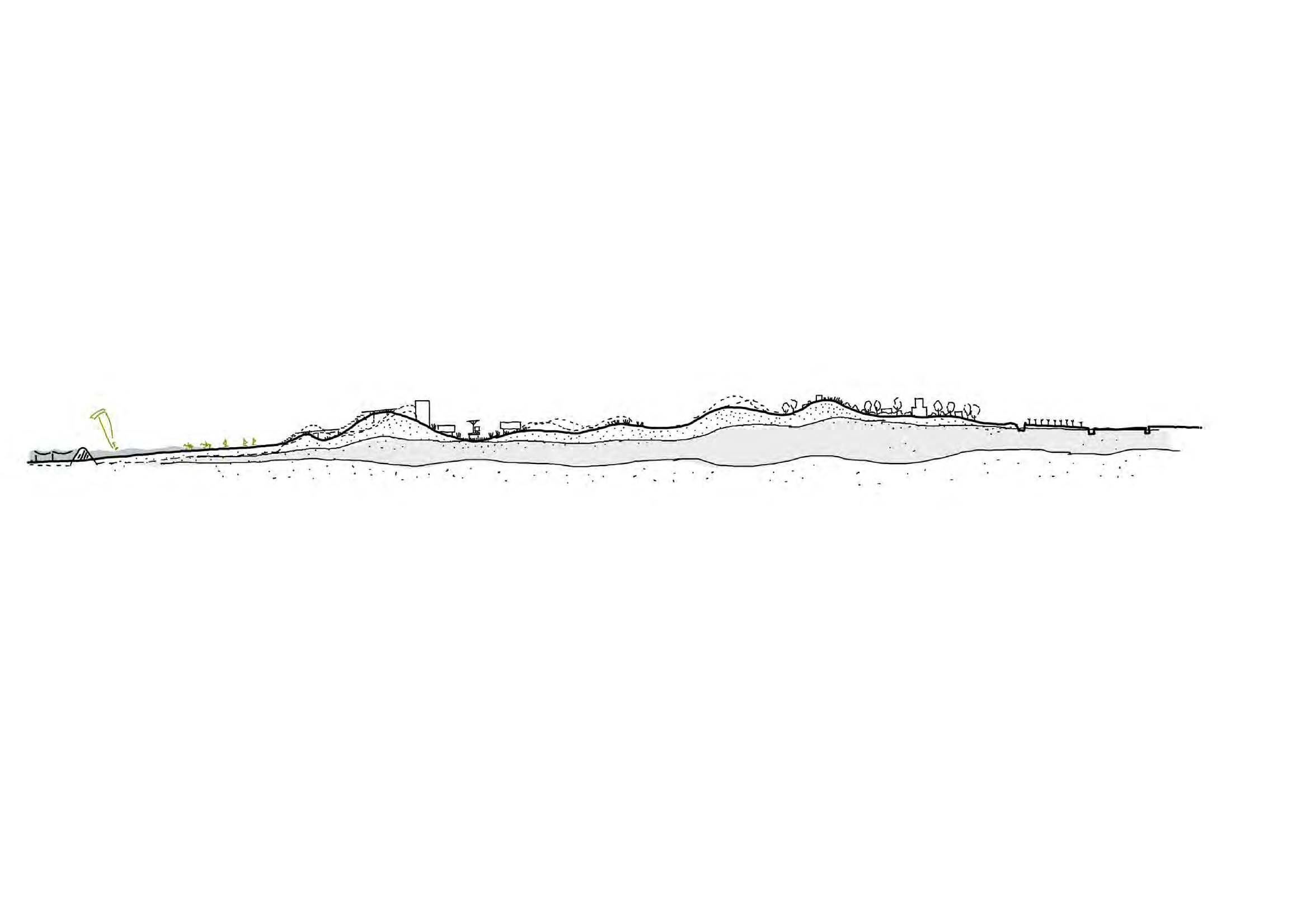
Ideal McHarg section Proposed section tram‘bunker’ in the dunesboardwalksbreakwaters raised beach
relatively tolerant

32 30
Manifesting McHarg through Oostduinkerke case study
Ian McHarg conceptualised the idealised manner in which to urbanise a dune system. Learning from McHarg, similar principles were experimented with and transponsed onto Oostduinkerke case study.


33 31
fresh water church polders/ aquaculture
productive
Oostduinkerke
Reinterpreting the Dune System for Urbanism
In an ideal scenario, complete demolition of the Oostduinkerke villages would allow the dunescape to renaturalise completely, with the territorial bands of the primary, secondary and back dunes becom ing evident (1). However, if the primary-secondary-backdune system is understood as being able to function at various scales, the possiblity for urbanism to exist and adapt emerges (2). Thus it is between these clustered dune-systems that the wind-driven dynamism may emerge strongly (3).

1 2 3
Following McHarg's conception of the dune system, the primary and secondary dunes (A & B) would see little new urbanism and a dramatic decrease in existing urbanism. Within this system, the backdune (C) is considered the most tolerant to urbanism and would thus see intense densification. The backdune would be the most static of the three dune types and would be populated by dune forests. This would allow the sandy dunes which exist between the primary and secondary dunes to move with ease.


3533
Scaled dune systems of Oostduinkerke determine urban change and adaption.
A
B C
A B A B
C
B
C C
A
B C
AB C


It is within the designation of the aforementioned scaled dune system that areas for strategic urban projects emerge.The first project con siders the movement from coast, across the Atlantic wall to the first back dune.This project is important as it demonstrates how people access the tram system.The second zoom takes place at the transition area between the polder (Oostduinkerke) and the dune (Witteburg) and is an important strategic area as it becomes a gate way into the redynamised landscape and the modes by which to live within it.


3537
Locating strategic urban projects
The Forefront of Coastal Defense
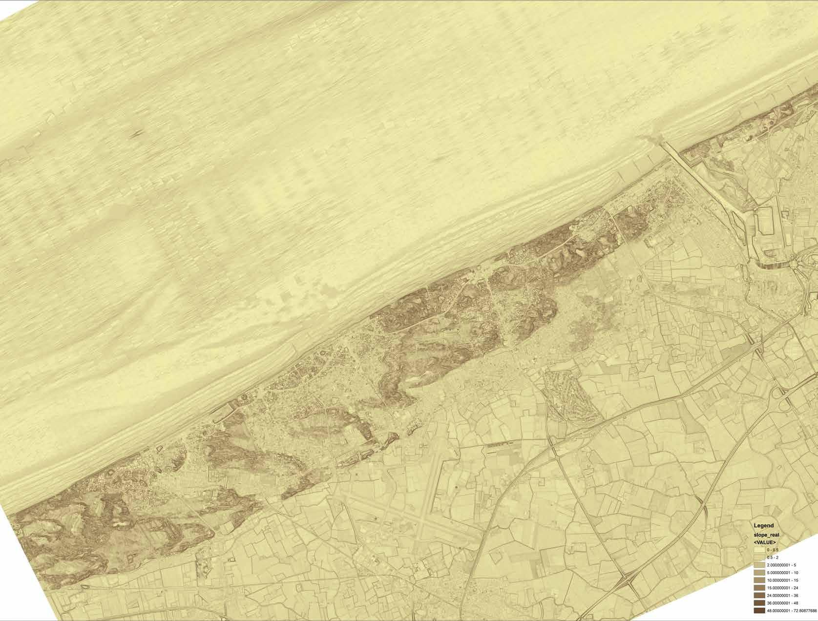
The first zoom of the strategic project located adjacent to the beach. We decided to choose this specific area because this area is the forefront of the dune system, the first layer of defense from the sea, while simultaneously mediating those elements. It also where urbanization heavily happened, filled with Atlantic walls and apart ment villas along the shoreline. Promenade built on the top of dyke demarcated land from the sea and changed into mounds of dune continuing the function. It is an exciting transition from the single line into edges, wherein some part connects to the dune fragment and then on another part is completely isolated.
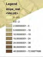
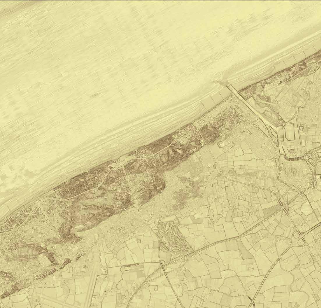
Dune fragments happened as a result of the haphazard development. Not only from the urbanization but also the development of infrastructure. Tramline and roads were built with the importance of people living there without regard to the landscape structure. Proof can easily be seen from the image below, where dunes cape marks by the contours and urbanization by its absents.
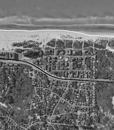
As the forefront of the coastal defense, the challenge of sea-level rise is ever-pres ent than before. A pressing matter that needs special attention, specially when the former dyke system went insufficient for the future. For past years people believe that a single line of defense in the shape of dyke will somehow temper the brute force of the sea. The 'updated' dyke will probably work for a short time, but it is not enough for the long run. To build a resilient defense sytem, as Ian McHarg stated in his book, "let us accept that nature is an arena of life, and a modicum of knowledge of her process is indispensable for survival and rather more for existence, health and delight" (McHarg 1969, page 7). The tidal landscape is expected to allow for a more resilient and qualitative urban space (Wambecq, 2017). In our case, it comes in the form of a sand dune.
Landscape texture and elements
- The undulating landscape structure of site
- aerial photograph with element presents on the site
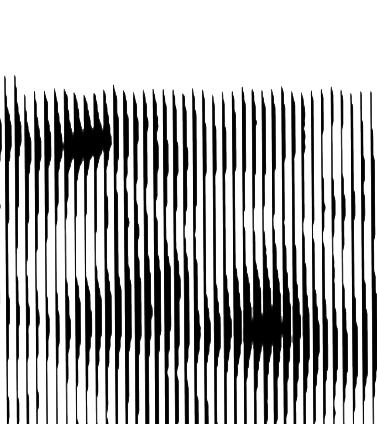
38
elevation 5m line
Dyke system
Dune embryo
Fore dune (moving dune)
Static dune
Static dune
Static dune
'Atlantic wall'
Dune villas
Single family housing
Beach
Left
Right
Existing
© Pebri Astuti 2021 modified from anvaka.github.io © Pebri Astuti 2021 modified from googlemap
PEBRI
TRY ASTUTI RESTORING DUNE’S DYNAMISM: FOREFRONT OF COASTAL DEFENCE
Re-dynamizing dune
In order to make the natural sea defense system working, the state of sand dune system needs to be recuperated by re-dynamizing the dune and subsequently re thinking the inhabitation. Because one could not be a success without another support, it does not mean to banish the entire urbanization. It merely finds the logic where those two elements can work side by side, mutually benefited not only for nature but also life quality of life of the people who lived there.
The bigger dune system is indeed in a bad state, but it consists of more minor subsystems that still work locally if we look closely. In the more optimistic view, if we can utilize the subsystem to work, it will form a connection and form a bigger system where dune and inhabitation can work side by side.
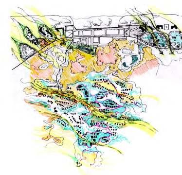
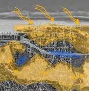
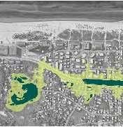
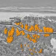
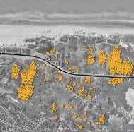
The specific zoom is recognized as one single subsystem and the in-between (see image). Moreover, by classified as such, we can identify the specific element (pri mary dune, secondary dune, and back dune) (McHarg, 1969). According to him,
the primary and secondary dune is more dynamic and sensitive; therefore, it needs to be freed from urbanization. Meanwhile, the back dune and in-between subsys tem were deemed appropriate for inhabitation with limitations. Even so, seeing the current state of inhabitation, the mat-like urban area needs to de-urbanize, giving space for sand and wind movement hoping the sand to be more dynamic again.
SIte analysis and design exploration
Left - exploring posibilities of opening part of urban area to redynamize dune. Right - Analysis of existing elements and potential for future development
39
© Pebri Astuti 2021 © Pebri Astuti 2021
Coastal ecosystem
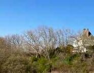
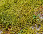
Giving space for the dune system to work again will boost the growth of ecosystem inside. Dune system, like nature in general, has its flora and fauna who live from it and performing a chain of works that unique to its environment. The awareness of the unique ecosystems and the importance of their resilience potential for flood safety and preservation should be common knowledge among the entire popula tion. (De Klerk, Be Baets 2020).
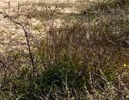
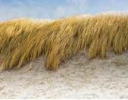
In this site, different kinds of vegetation live in the outer layer of the dune. As a moving dune adjacent to the sea, salt sprays are a common phenomenon. Certain grasses live here, and it is the type that is highly adapted to salinity and harsh con ditions. Grass also has a role in creating dune. Through time it is accumulating trapped sand into mounds, the very elements of dune making. The new height of the dune also supported the emergence of low thickets and moss dune on the site. Their mat-like appearance stabilizes dune while also functions as a barrier from the wind and sea. The stabilized dune can tamper with the waves and softened the currents.
Besides the vegetation that lived in the primary and secondary dune, the space in-between (trough) also holds a significant factor. It is the place where water like ly to emerge—a balancing factor and source of life for the vegetation or animals who live in the vicinity. A paradigm shift for more resilient, sustainable, and na ture-driven development is needed with the significant benefit of the dune ecosys tem. Living connected with nature will also give us vitality and better quality of life, not only for the environment. We need to be careful if we planned to inhabit the dune. In the future, we want this tidal landscape structure to become the main structure of sea defense. Dynamically changing and adapt, interacting with both land and sea.
40
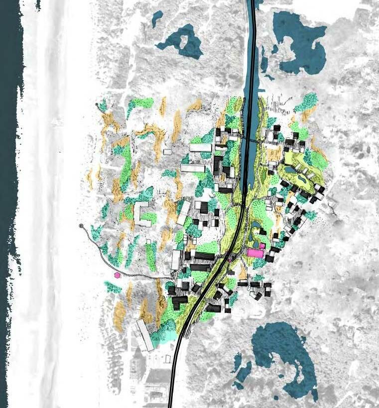
Different types of vegetations lives as an ecological mosaic, interwoven into landscape structure
Map of ecosystem spreads on-site in the future
1. dune
grass,
2. dune
moss,
3. scrubs, 4,
high scrub/woodland types of vegetation lives in dune
© Shutterstock
© Pebri Astuti
© Alamy stock photo
© Pebri Astuti
41 © Pebri Astuti 2021
A Way to Inhabit

New paradigm of nature-based living means the logic behind current urbanization needs rethinking. If the current development is orientated to the urban infrastruc ture such as tramline and roads (which give no regard to the natural structure), the new concept of inhabitation needs to consider the natural landscape structure and finding a niche to live inside embedded into the landscape.
As we know, the current coastal urbanization is very generic and generally discon nected from coastal nature. It does not highlight the coastal nature at all. If we go there, the view quite similar to other parts of Belgium's housing type. As a subsys tem, we can argue that the back dune and trough can be inhabited with particular limitations. It is the location where development less disrupting, and whereas hu mans get the provision for basic needs – such as water and protection from the sea. The new way of inhabitation does not merely mean to relocate the urbanization to this area. It also means how to protect the ecosystem and make sure the system is not disrupted again. It is about finding balance amongst the elements.
Our first consideration in this design exploration is to 'relocate' the Atlantic wall into the 'back dune' and trough, de-urbanize housing pattern, and adapt into land scape structure. In doing so, we find these small agglomerations of housing em bedded into the landscape. Gap between agglomeration is needed for sand and wind movement and a space for the ecosystem to grow and expand. It also uses as an ecosystem connection between formerly fragmented dune.
Dive into details, the urbanization formed in this site classified into three typolo gies. The first one is the adaptive reuse from the former Atlantic wall building. One
Design exploration: the possible place for inhabitation and its supporting infrastructure
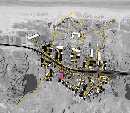
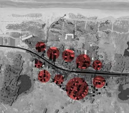
Design proposal for each element of inhabitation:
neighborhood agglomeration
open spaces in the neighborhood level
the movement pattern stitching neighborhood
whole system working together
42
© Pebri Astuti 2021 © Pebri Astuti 2021
1.
2.
3.
4.
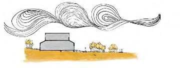
building was deliberately left there as a reminder of the past. Its existing appear ance interacting with the moving dune creates a bunker typology where some of the outer facade buried in the sand, new landscape feature, emerges in the buried façade. At the same time, the other side is quite protected and connect to the new neighborhood agglomerations. The second typology is the new neighborhoods formed in the 'back dune.' The agglomeration grows from existing houses and, along the way, transformed and modified into something new. existing housing are dissolved into the new one, creating a type of communal living in dune, where the dune characteristics are highlighted and nature is prioritized.
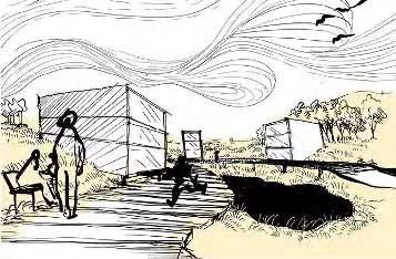
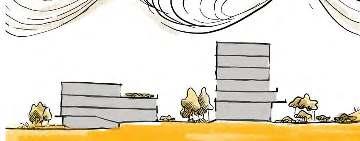
Each agglomeration – or neighborhood has its own public space, also used for mobility. This route connects each neighborhood with the dune, beach, and finally to the productive area of shore. The bigger system formed an elaborate yet efficient movement system, connecting different modes of transportation (tramline, bike, and pedestrianized route) into one experience continue into polders and old town. And then the last typology is for housing in the trough. As explained before, the trough has a distinct element that differs from other dune elements. The wet con dition and its potential for richer biodiversity become an essential factor for di recting inhabitation. As a potential of water preservation, disruption from land needs to be minimized. A new typology of housing on stilt was proposed. More than that, the idea of mobility also altered. Boardwalk used as alternative mobility surfaces, tramline across the site will also run on the boardwalk, detaching it from the future water inundation. The housing development is limited to prioritized ecosystem growth.
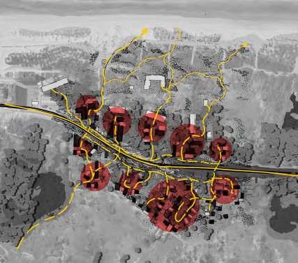
The lack of roads and switching to soft mobility make the distinctive new route network render people experiencing the dune. A new community center equipped with bike rents and a health center connected into the mobility network support ing the residents and tourism. It is, in fact, a new kind of attraction, a chance to explore dune and beach differently. In the end, it is about finding balance to live side by side with nature. The tidal landscape is an elaborate system that interacted with both land and sea. The inhabitation that emerges on this site can be seen as an act of stewardship toward nature, ensuring the tidal system work best as a part of the defense line for the bigger coastal region.
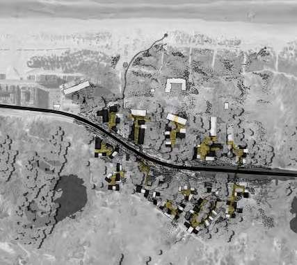
43
©
Pebri
Astuti 2021
©
Pebri Astuti
2021
Final design proposal
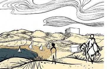
redynamize dunescape combined with transformation of urban area. Groups of neighborhood formed, intermittent with dune corridor connecting foredune adjacent to the beach with dune fragments in the back while revitalize existing dune ecosystem.
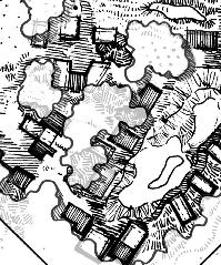
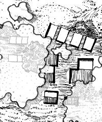
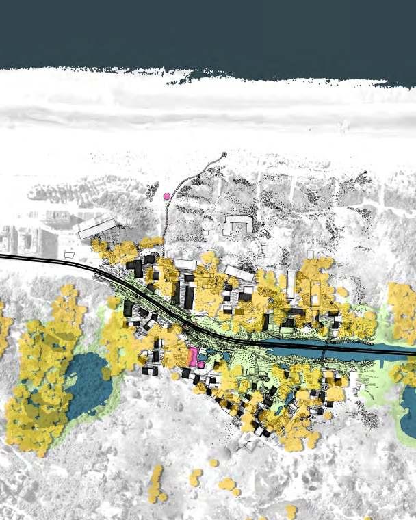

44 © Pebri Astuti2021
Housing proposal 1

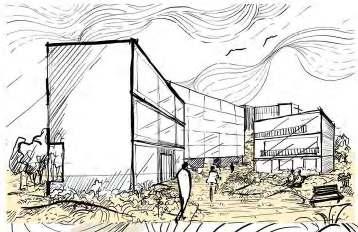
bunker house
proposal 2
Dune Villas
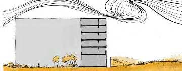
proposal

Meadow stilt house

45 ©
Pebri Astuti
2021 © Pebri
Astuti
2021 © Pebri Astuti 2021
Housing
Housing
3
References
Books and scientific articles :
McHarg, Ian L. 1969. Design with nature. Garden City, N.Y.: Published for the American Museum of Natural History [by] the Natural History Press Wambecq,Wim and De Meulder Bruno. 2017. "Between Land and Sea: Reshaping the Belgian Coastline. A case study between Ostend and Blankenberge". The Plan Journal 2.
De Klerck, Patrick D and De Baets Brenda. 2020. "Assessing the “value” of nature-based solutions at the Belgian coast for sustainable tourism, using a ecosystembased management approach" . Thailand: ICUE 2020 on Energy, Environment, and Climate Change Asian Institute of Technology.
Van Acker, Martin. 2011. "FROM FLLUX TO FRAME: The Infrastructure project as a vehicle of territorial imagination and an instrument of urbanization in Belgium since Early 19th Century". Belgium: KU LEUVEN.
CREST Climate Resilient Coast take home messages. Belgium: Agentschap Vlaanderen innoveren en ondernemen
MASTER OF HUMAN SETTLEMENTS
MASTER OF URBANISM LANDSCAPE AND PLANNING
46
47

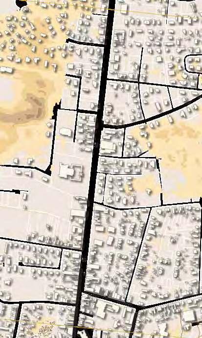
B A
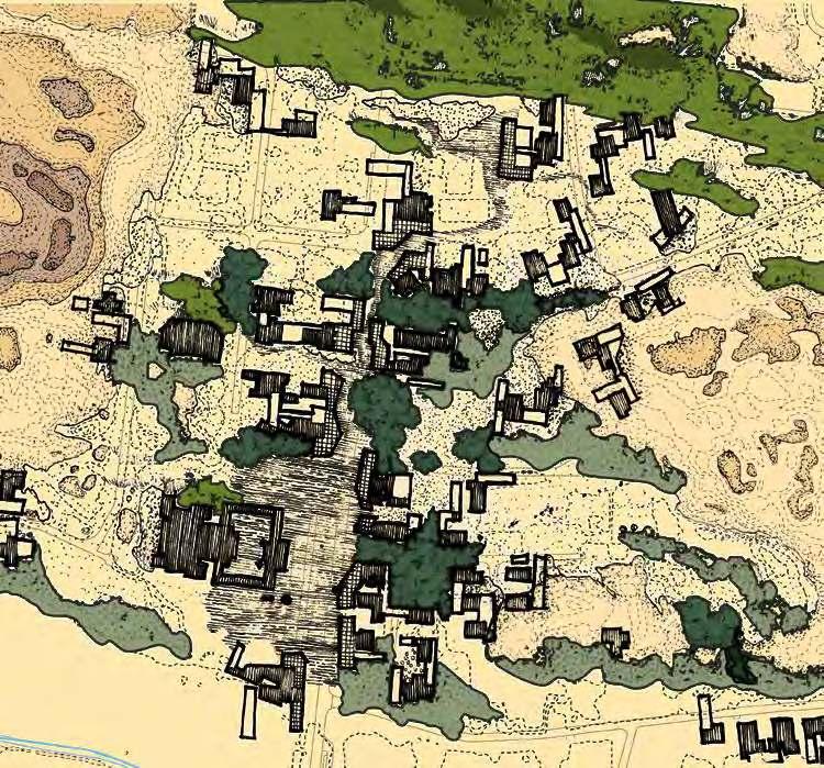
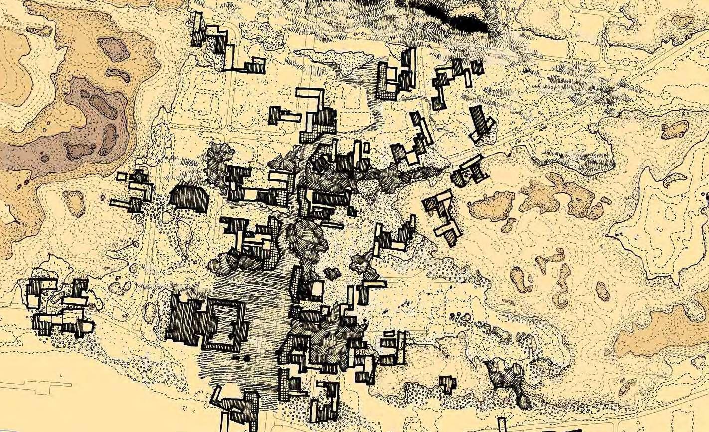
The second urban fabric zoom (A) takes place around the prominent St Niklaaskerk between Oostduinkerke and Witte Burg. Following the overarching vision of inhabiting the back dune, this intervention would not only inhabit the back dune but provide the transition between the polders and the back dune and also act as a gate way into the redynamised dune territory proposed in the vision (B). This area was chosen for its transitory nature as described but also because it is a prominent weak point in the urban fabric with two dune nature reserves existing on either side of the main road. The notion of the backdune was to be strrengthened in character by establishing sizeable dune forests along the back dunes. In order to do so, cognisance of the existing tree figures had to be taken (C). In the place of the existing tree figure- a large expanse of dune forest is proposed (D). This dune forest would part around St Niklaaskerk to allow the church to become part of the dune nature reserve and effectively become a gateway into that dunescape. To the north the trees would become sparse as the territory gives way to the redynamised sandy dunes. And lastly, as the dune forest meets the polder village, some agroforestry is proposed to speak to the transition of a forested landscape to the produc- tive landscape (E).
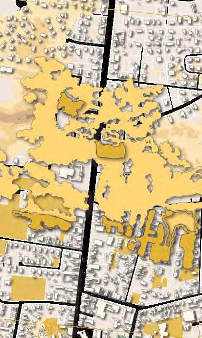
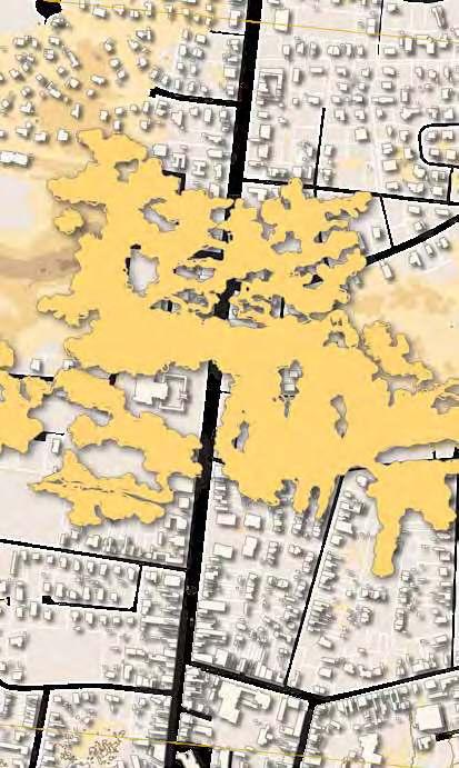
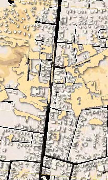

49
1:5000 Proposal for the Oostduinkerke - Witteburg transition
C D E
Areaoffurther
Cultivating Dune Ecologies
The first dune ecology which adjacent clusters must take note of is the grasslands which emerge in conjunction with the wind dynamic moving the sandy dunes.
The second dune ecology which adjacent clusters must take note of is the moss dunes which appear in the stabilised and static areas of the dunes.
The third dune ecology which adjacent clusters must take note of is the scrub which would be introduced as a terrestrial layer of the intended dune forest. This scrub would be intentionally placed so as to strengthen public and private dichotomies between clusters.
Retained Urban Fabric
Proposed Commercial Fabric


Binding new fabric responsive to localised dune ecologies


50 40
Urban Ecological Clusters: From the single family home to co-living in the dunes
explorationZooming in, we set the scene to see this urbanism around the church transform from traditional road-bound single family houses to co-living urban clusters responsive to the various dune ecologies. The urban fabric proposal of back dune sees the gradual removal and retainment of some existing urban fabric. This is intended to occur gradually, with the kept urban fabric forming clusters over time. This choice is made with the intended forest-figure in mind so that the urban clusters fringe upon forest clearings in their final state.

51 41


52
Visualising ecologies and inhabitations

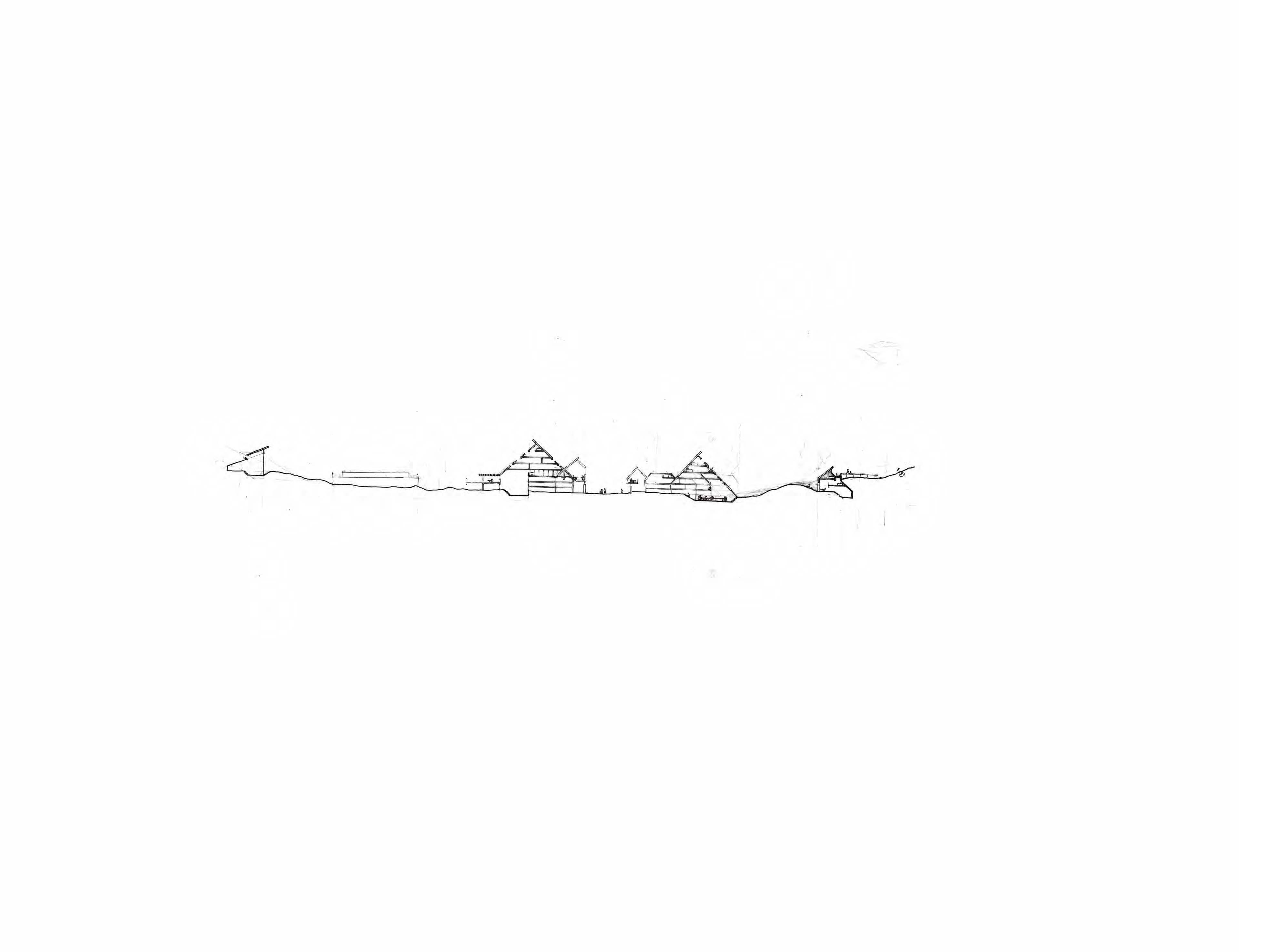
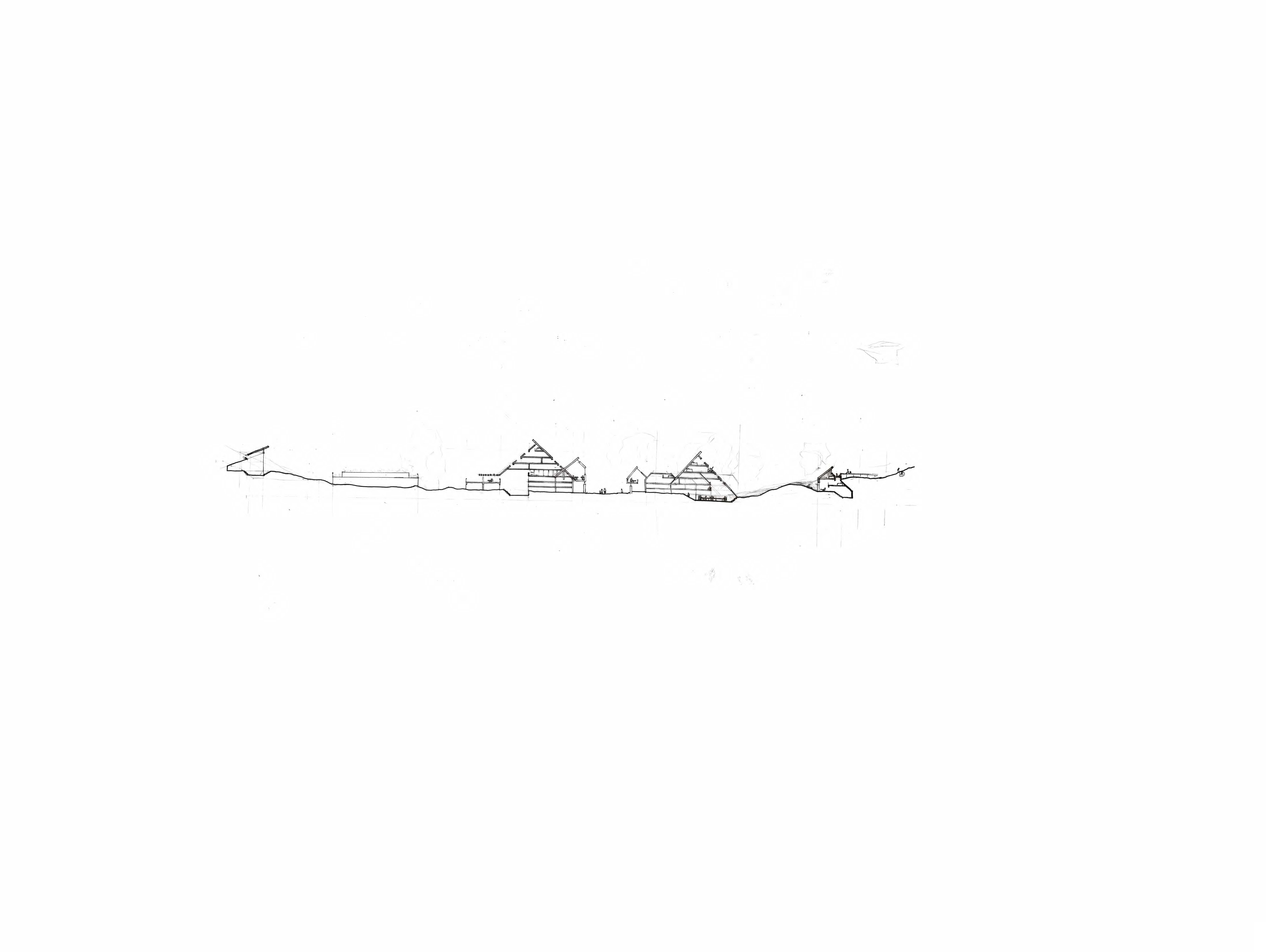
Typological exploration takes place within this zoom. The designed section is taken through the area with specific proposed ecological diversity. This zoom attempts to make the different ecologies clearer.

53
Embedding the slope Meadowing the roof





Living in the trees Embedding the slope








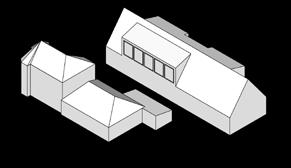
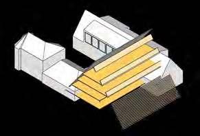
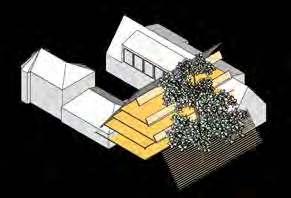
From single family home to urban cluster


Belgium coast line
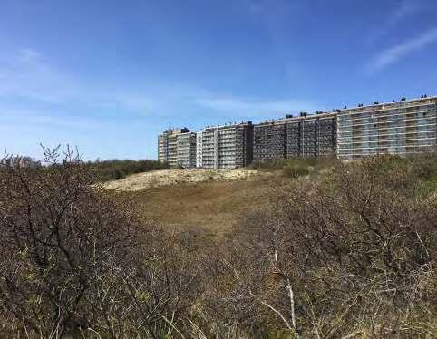
Our site is from de panne to Nieuwpoort, it’s the largest dune system of the Belgium coast. Obviously, our story is start from dune system.

58
YIFAN HU REDYNAMIZING THE DUNE COAST FROM DE PANNE TO NIEUWPOORT
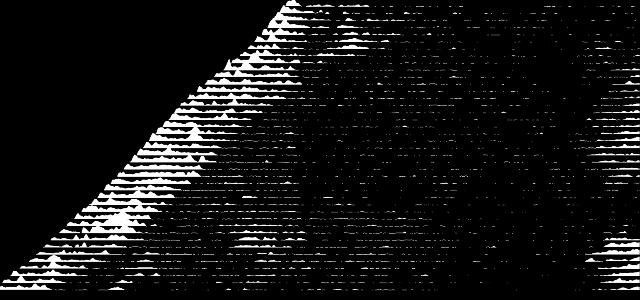
59
Section from De panne to Nieuwpoort
Existing
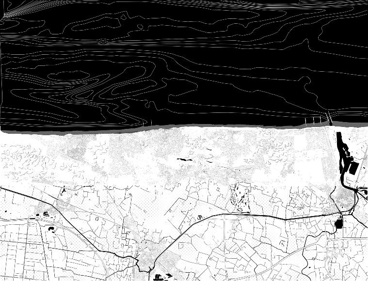
60 32
map
The Neolithic age historical map

61 33
62 34
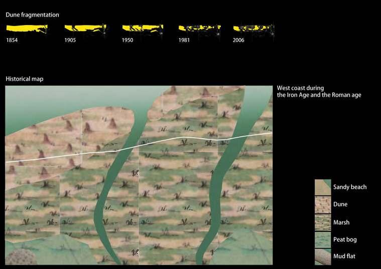
The iron age and roman age historical map

63 35
The early middle age historical map
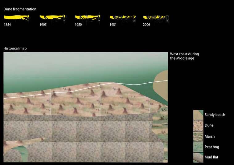
The middle age historical map
64 36
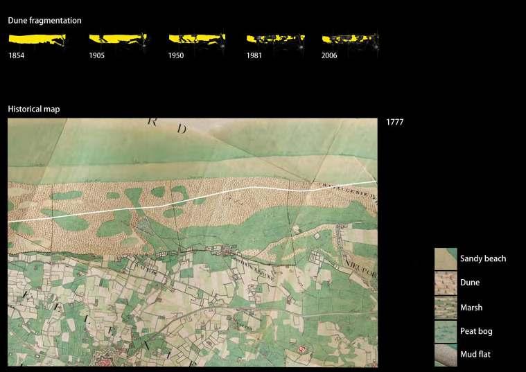
65 37 1777 historical map
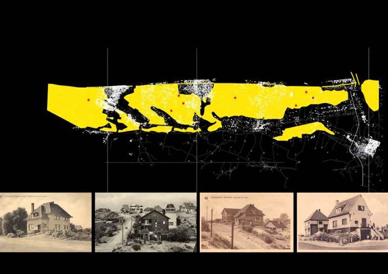
The existing dune village
66 38
The existing fisherman village
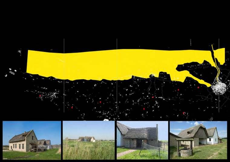
67 39
Walking 15mins map
In individual dune systems, walking can be the primary mode of transportation.
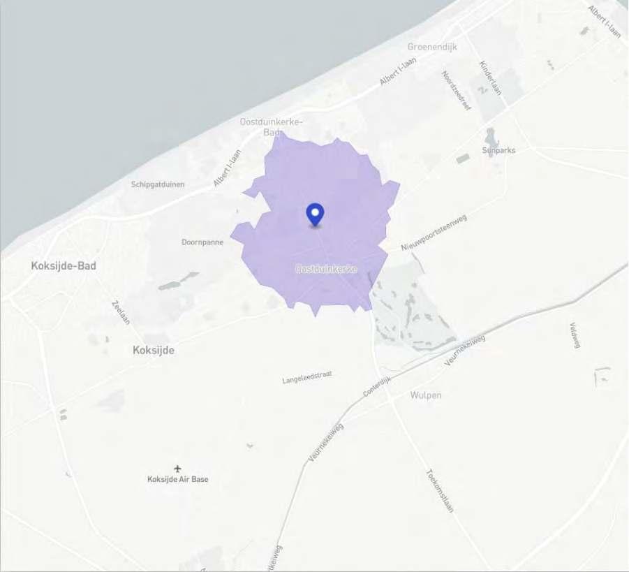
68
Cycling 30mins map
Bicycles can be used as a means of transportation between the nearby dune system.
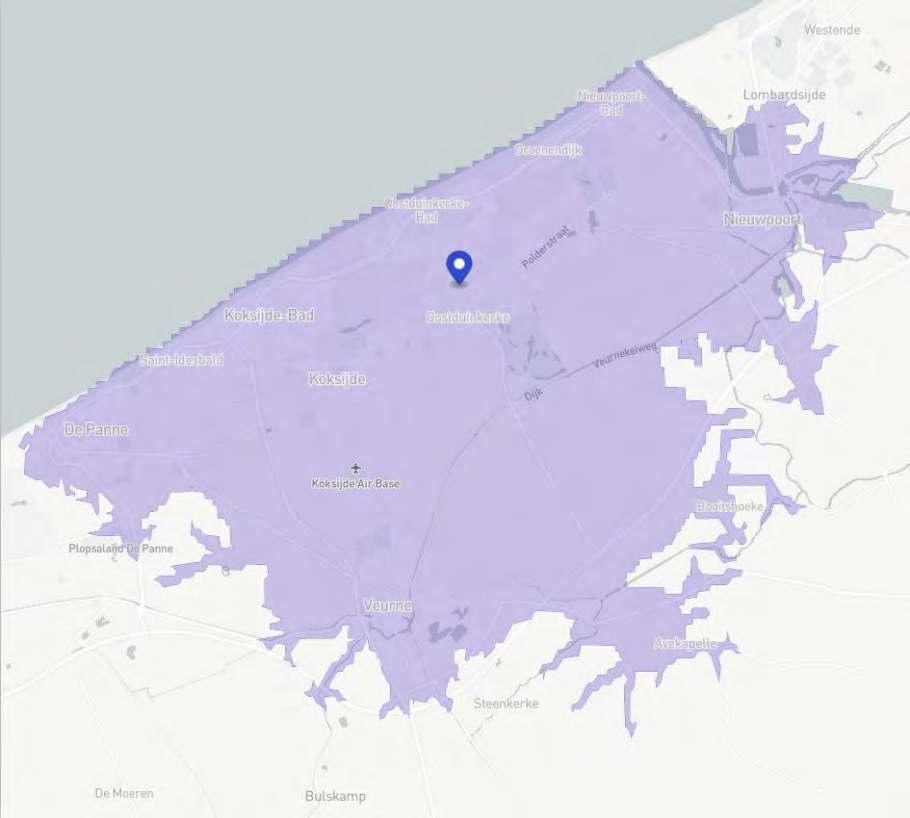
69
Enter the coast system
Cars and trams serve as the primary means of access. Parking catchment and bike rent serve as transi tions into the dune system.
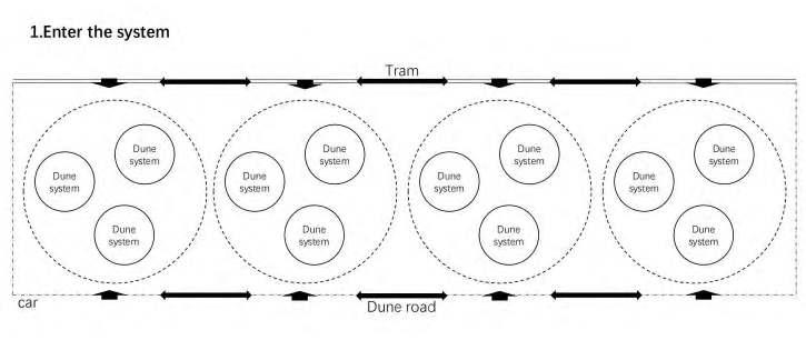
70
Nearby dune system
Bicycles can be used as a means of transportation between the nearby dune system.
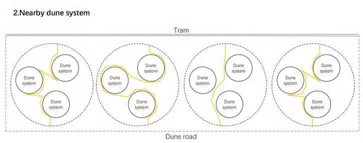
71
Individual system
In individual dune systems, walking can be the primary mode of transportation.
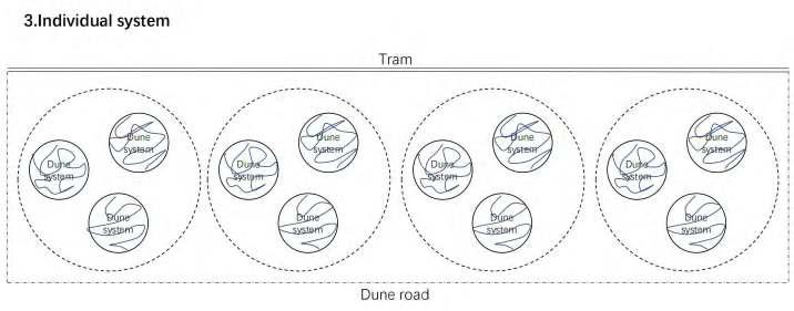
72
Between the system
This area is suitable for nomadic peoples, and temporary buildings and grazing areas can change as the dune system changes. Secondly, horses can also be used as a means of transportation in this area. Finally, some simple recreational activities can also take place in this area.

73
Mobility: The practical application
Through sorting out the current traffic systems, including tram, public bike, bicycle, horse and other routes, combined with dunes, the overall logic application is carried out.
74 46

75 47
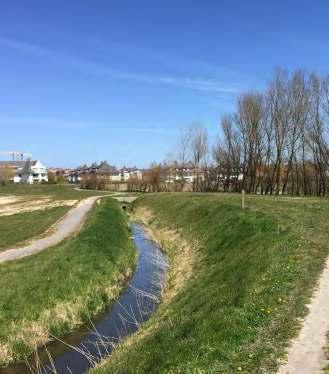
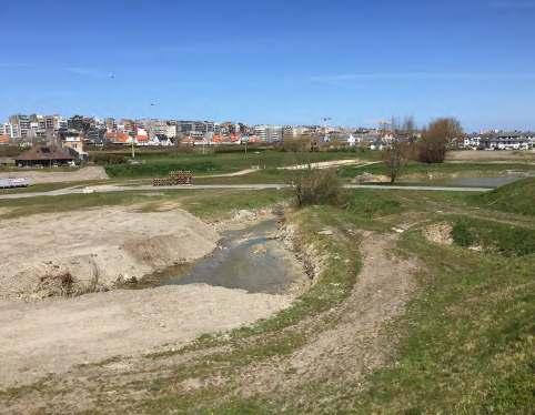
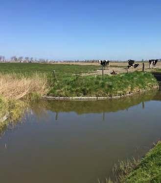
76
LAETITIA NOUR HANNA ARTHUR STACHE XENIA STOUMPOU YANG YU
LINE

Ter Streep: Reshaping urban figures along the creek
77 03.02
COAST
TER STREEP
Rethinking the line coast
The Belgian coast can be seen as a system of successively dunes, urbanisation and polders. In this particular segment this succession is pretty compressed to a rather thin stripe along the coast. The sequence of the different systems, from polder to sea; from open space to more compressed atmospheres is a characteristic of the site. In this part of the coast, the polder landscape almost reaches the beach because of its constant erosion and its thin dune ecosystem. This rather fragile and thin segment will be further challenged by climate change and sea level rise. With an expected rise of 3m, polders lying below that height will render un-drainable, unless pumped, effectively altering the landscape. In the existing condition, the urbanised front is an amalgam of urban centres and campsites, expanding on both polders and dunes. Urbanisation occurs in relation to the location’s proximity to the leisure landscape of the beach, thus rendering the area vulnerable in terms both of coastal defence and subsequently of protection of productive fields. Challenging the current linear disposition, the vision seeks for the creation of an inner edge, redirecting urbanisation as well as towards the inland polder landscape.
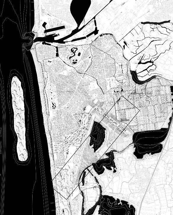
Reading the topography along with flood predictions, the figure of the historic meandering tidal creek is being reintroduced. Together with the strategic breaking of the dike for the activation of the dune ecosystem, the relation of landscape entities is rearranged. In this sense, the island originally spanning from Oostende to Westende is reiterated, this time mediating between fresh and salty water. The proposal envisions this new landscape entity of the island as a means to address coastal defence needs in light of climate change adaptation, the redirection of urbanisation, whether temporal or permanent, through the creation of multiplicity while also safeguarding the productivity of the polders. Yet the creek is not a mere figure, but it introduces a systemic vision regarding the storage and drainage of fresh water on the polders together with a system of adjacent ponds. Along it, several activities get reorganised: variations of camping facilities with different temporalities, new urban fronts together with new productive opportunities.
Coastal protection is addressed primarily through the systemic enhancement of the dune ecosystem along with strategic interventions on the dikes. The creation of islands and sandbanks enhances the sedimentation process and activate the dunes, while also creating a nuanced coastal landscape. The very shape of the water unveils strategic projects, each of them focusing on a particular condition.
Westende
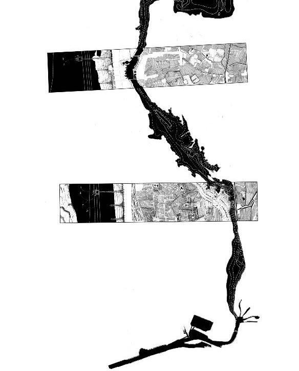
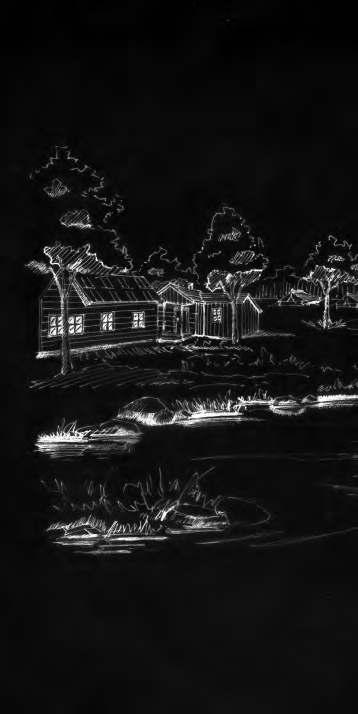
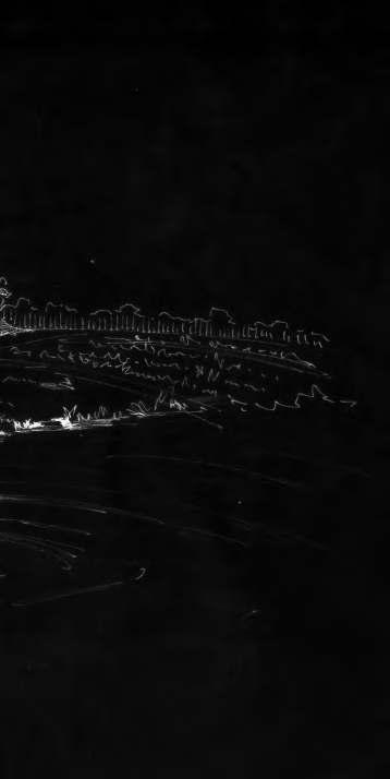
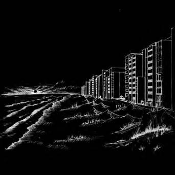
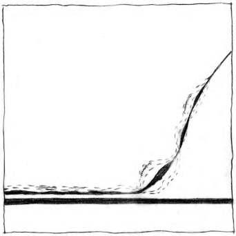
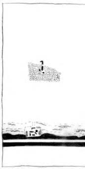
In this part where the creek is located deeply in the polders, the extended landscape can offer a diverse experience in variations of temporalities. relocating the camping sites around the existing farms, new opportunities for collective camping grounds emerge, together with more permanent infrastructure. The fluctuations of the water level in the creek allows for temporal inhabitation of the flood plain. Lastly, shelters in the dunes, support an ephemeral stay. The landscape emerges progressively, from the introduction of the creek to the re-purposing of the farms and the creation of dense forest canopies around them. Atmosphere of living by the water, surrounded by agricultural fields.
Middelkerke
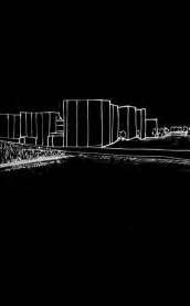
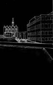
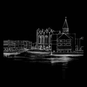
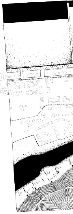
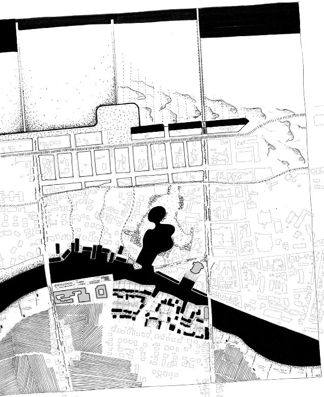
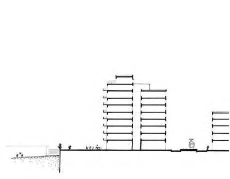
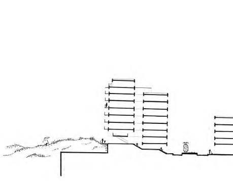
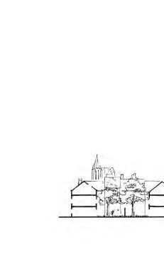
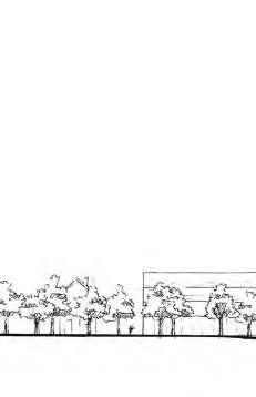
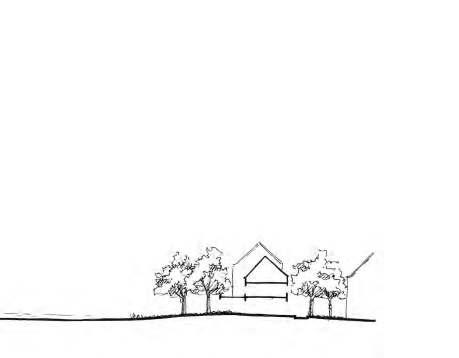
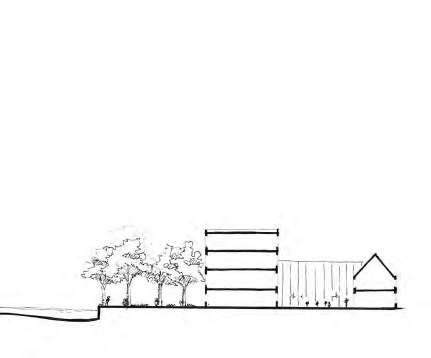
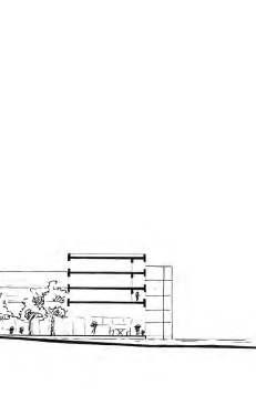
Middelkerke is the point of compression in the landscape. The creek reconfigures the city’s relation to the polder landscape, allowing for the creation of new urban space along the water. Being the mid between Nieuwpoort and Oostende, Middelkerke becomes the regulator of fluctuating water. A stably flooded part becomes the new urban edge for the city that regulates the flow of water when necessary. In terms of coastal protection and nlargement of the beach, a bench dike and the introduction of dunes is envisioned.
The dunes cover the ground floor of the Atlantic wall, which gets reoriented inland, and the next floor becomes the new public interface. The urban fabric evolves in order to welcome the new creek. The existing road becomes a bridge, that separates the permanently flooded area from the fluctuating ones. A new public infrastructure takes place in front of the church in direct relation with the water and oriented towards the polders.
Oostende
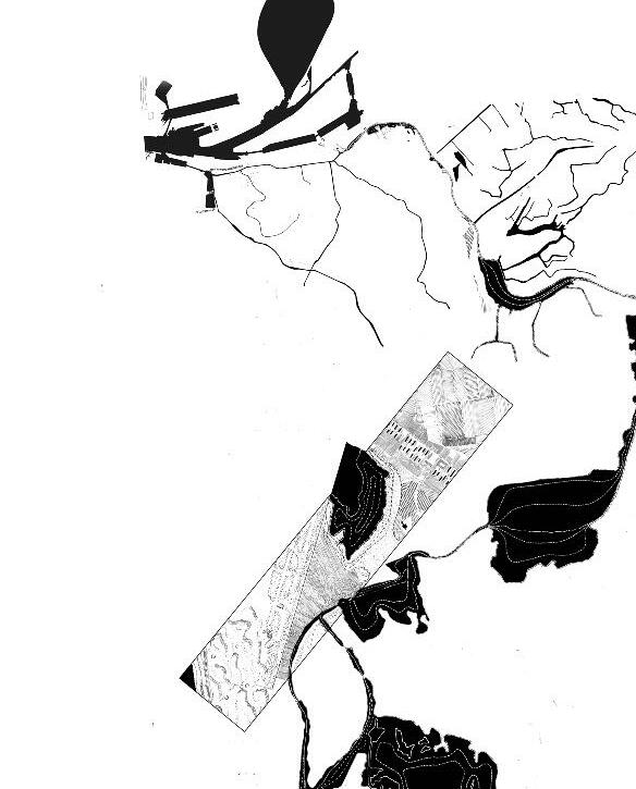
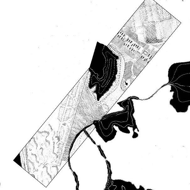
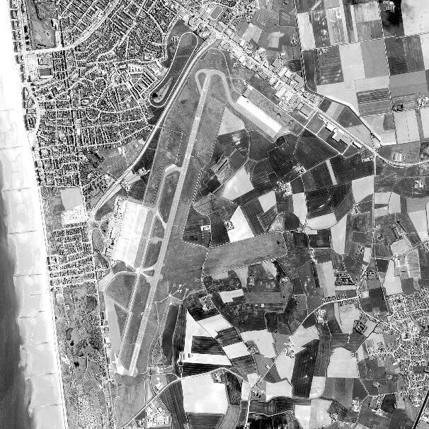
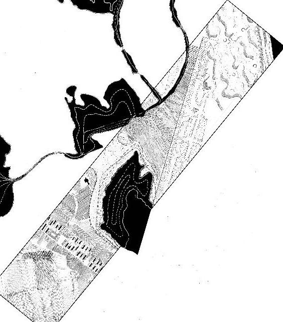
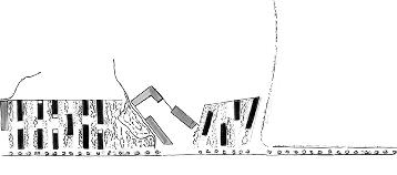
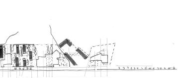
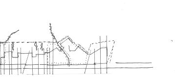
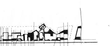
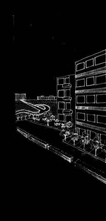
The third and last focus deals with the large urban figures that border Oostende. The water figure infiltrates here the landscape through an expanded system of ditches and ponds which integrate these figures into a system of juxtaposition of objects: airport, big boxes, stene polder. Speculating against the need for such a kind of retail development we envision the conversion of the big boxes' development into a new urban quarter for the city of Oostende. Thanks to a linear system, we re-create the relation between productive landscapes (Tuinen van Stene) and the airport tarmac that becomes an urban figure in this landscape. This involves a long-term strategy based on the current plot division that includes, incentives for planting plot borders, strategic de-sealing of parking spaces and introduction of water courses. Progressively, redevelopments on the largest of the plots introduce social infrastructure which in turn triggers development of residential projects.
78
SITUATION
79 I. EXISTING
80 Looking
Back Adjacent Systems (1945)
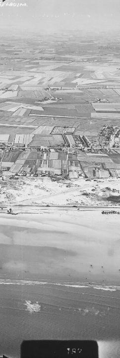
81 © Unknown 1945
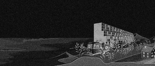


82

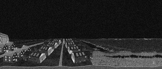

83
© Yang Yu 2021
© Yang Yu 2021
© Yang Yu 2021
From Polders to Sea
Thickened Campsites
Atlantic Wall
84
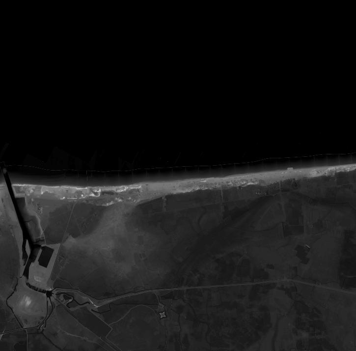
Topography

85
© Laetitia Hanna Nour, Arthur Stache 2021
and Bathymetry
86

87
©
Google Earth 2021
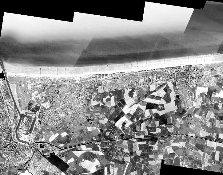
Aerial
View
88
89
© Laetitia Nour Hanna 2021
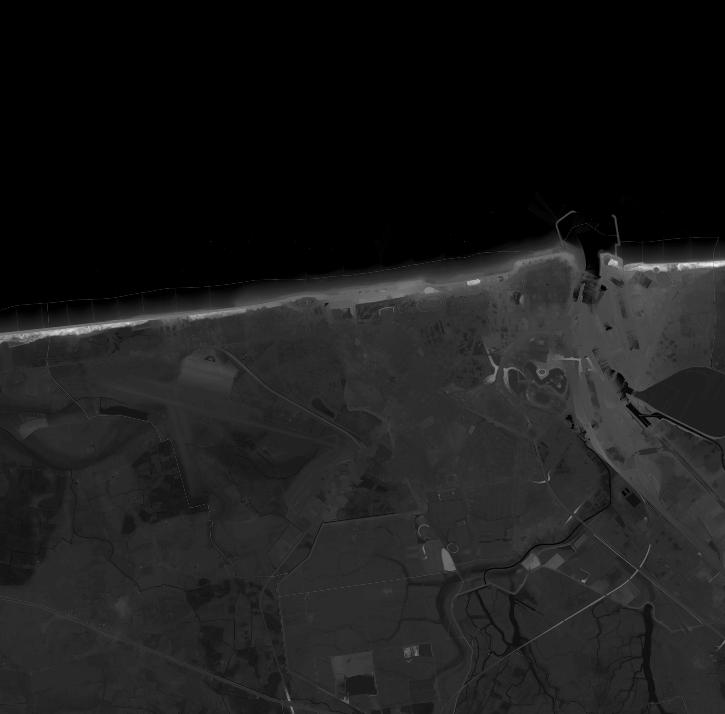
Digital Elevation Model

90
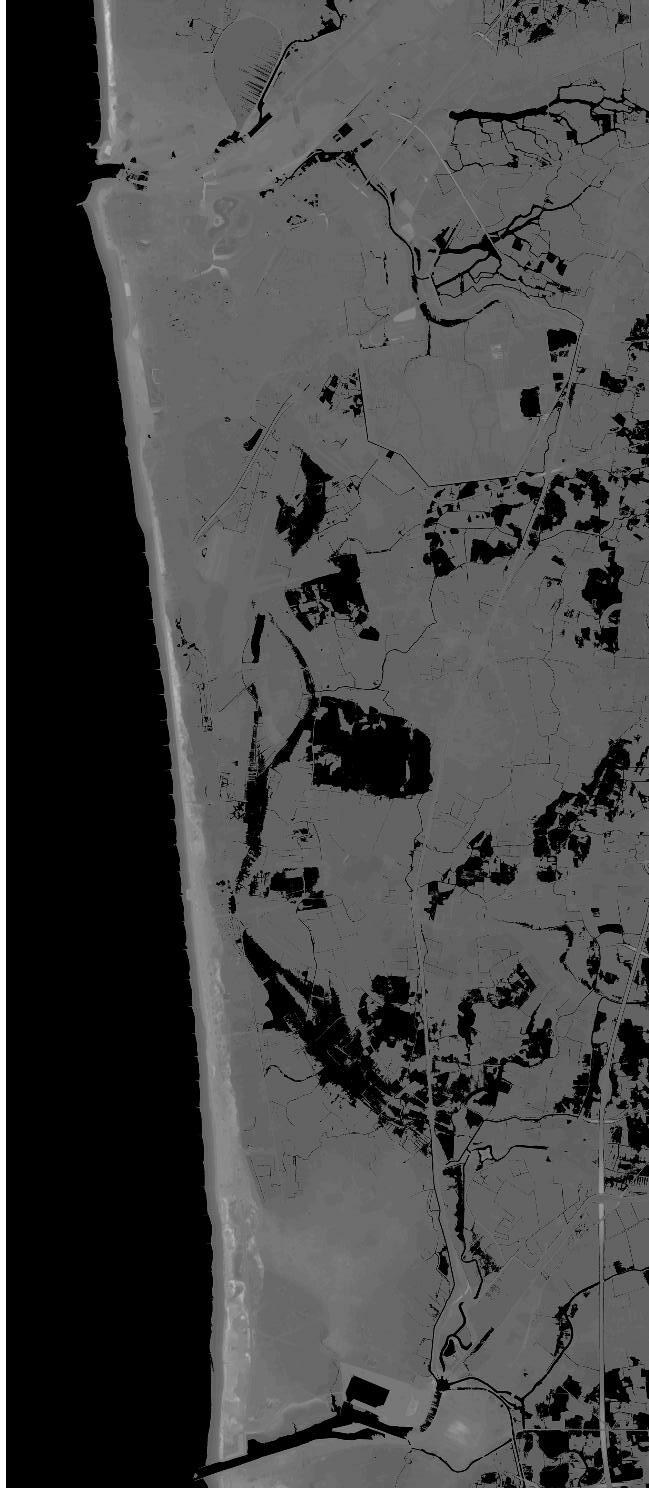
91
© Laetitia Nour Hanna 2021
Three Meter Elevation
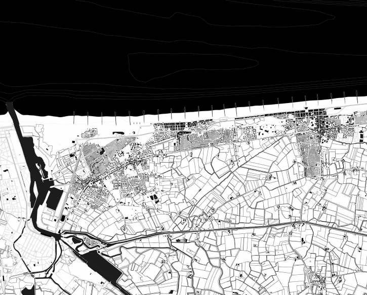
92
Existing Situation
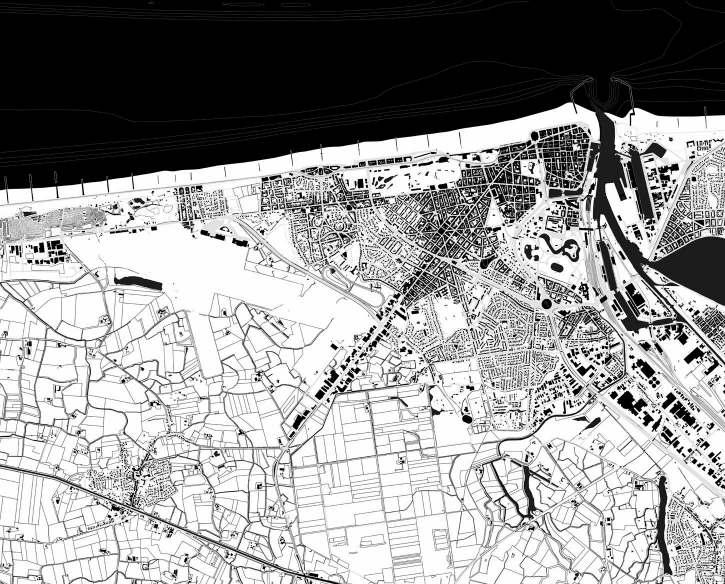
93
© Xenia Stompou 2021
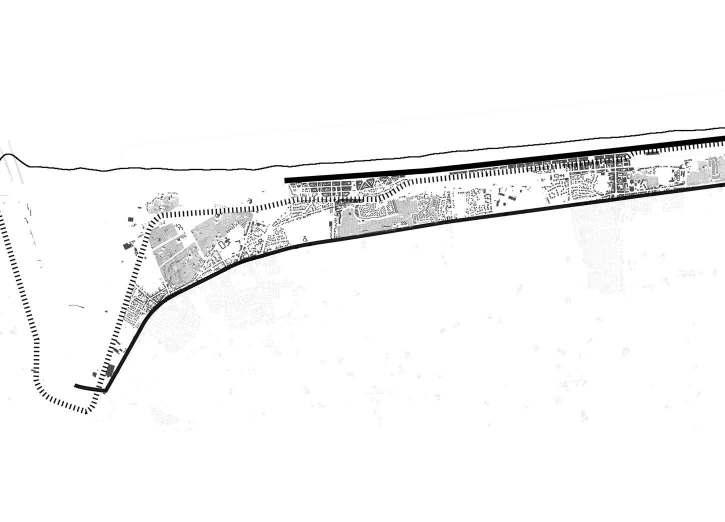
94
Linear Urban Systems
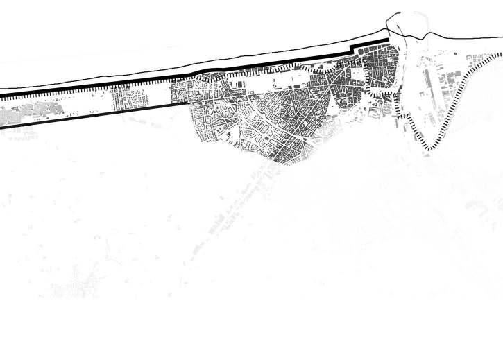
95 © Xenia Stompou 2021
96
97 II. VISION

98
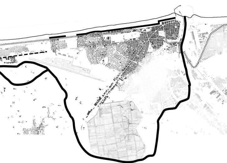
99 © Xenia Stompou 2021 Meandering Creek
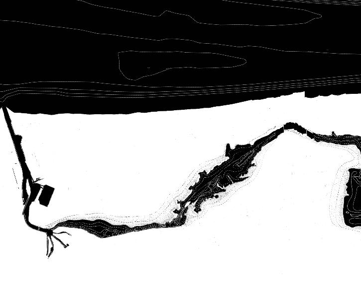
100

101
© Xenia Stompou 2021
Ter Streep

102
103
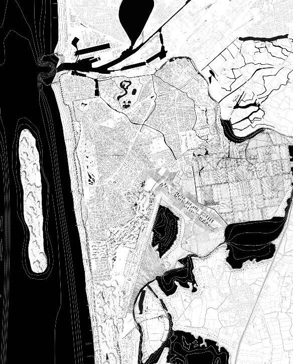
© Laetitia Nour Hanna, Arthur Stache, Xenia Stompou, Yang Yu 2021
Vision 2100

104
105
© Laetitia Nour Hanna, Arthur Stache, Xenia Stompou, Yang Yu 2021
Focuses
106
107
© Laetitia Nour Hanna, Arthur Stache, Xenia Stompou, Yang Yu 2021
Strategic Projects


108

109
© Laetitia Nour Hanna, Arthur Stache, Xenia Stompou, Yang Yu 2021
110
111 III. WESTENDE


112
Westende


113
© Arthur Stache, Yang Yu 2021
Sections
114
Westende Atmosphere

115
© Yang Yu 2021
116
117 IV. MIDDELKERKE


118
MiddelkerkeSections


119
© Arthur Stache, Yang Yu 2021


120
Middelkerke Atmosphere


121
© Yang Yu 2021
122
123 V. OOSTENDE
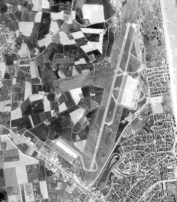

Oostende Urban Pier
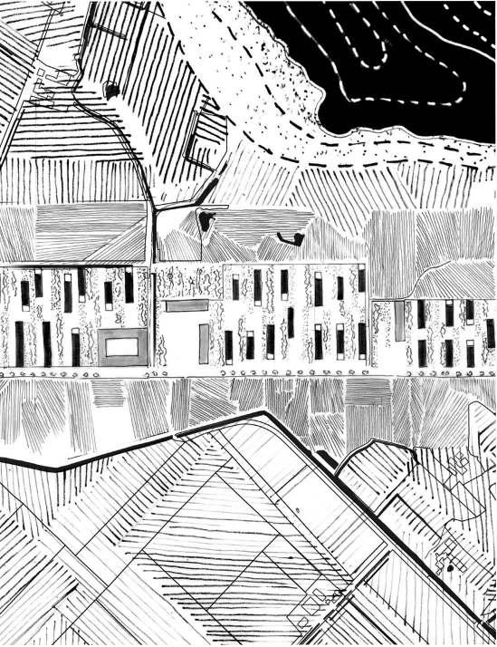

125
©
Xenia Stompou 2021


Oostende


127
© Laetitia Nour Hanna, Yang Yu 2021
Sections
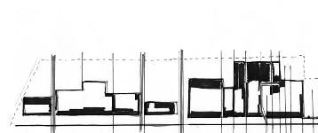
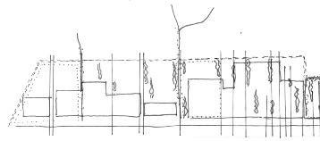

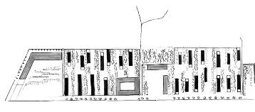
128 78
Oostende Phasing
129 79 © Xenia Stompou 2021
130
Oostende
131
© Laetitia Nour Hanna 2021
Atmosphere
ARTHUR STACHE
TER STREEP: WESTENDE AND MIDDELKERKE
132
ESSAY
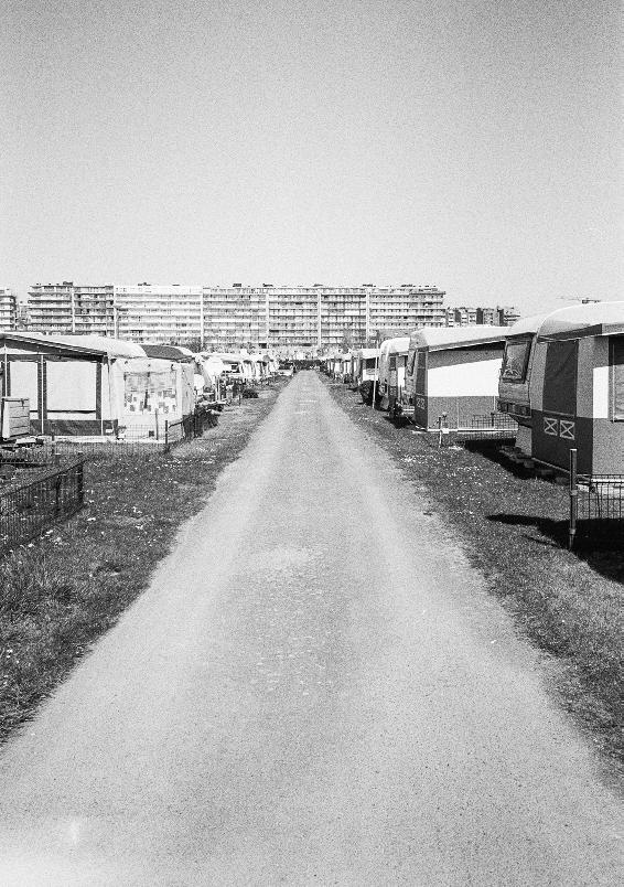
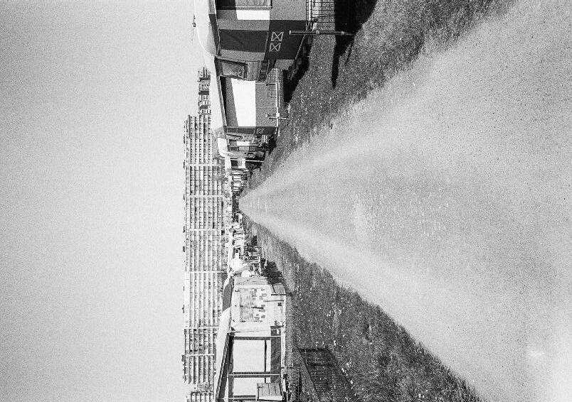
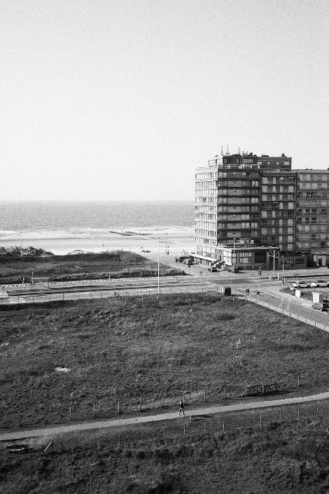
133 I. PHOTOGRAPHIC
134 86
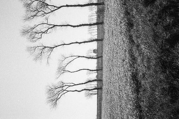
135 87
© Arthur Stache 2021
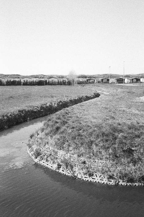
136 88

137 89
© Arthur Stache 2021
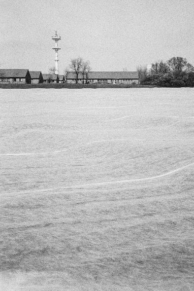
138 90
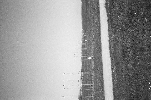
139 91
© Arthur Stache 2021
140 92

141 93
© Arthur Stache 2021
142 94
143 95
© Arthur Stache 2021
144 96
145 97
© Arthur Stache 2021
146 98
© Arthur Stache 2021
147 99
148
SITUATION
149 II. EXISTING
150
Line Coast Thin Dunes System
151 ©
Arthur Stache 2021
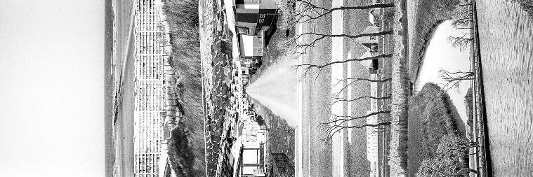
Experiencing the Coast Landscape of Open-Space and Compression
152
153
© Arthur Stache 2021
154
155 III. WESTENDE


156
Westende Variations on Temporality
157
© Arthur Stache 2021
158
Westende Phasing


159 © Arthur
Stache
2021
160
161 IV. MIDDELKERKE


162
Middelkerke Landscape of Compression
163
©
Arthur Stache 2021


164
Normal Water Level at 3m
Overflow over 4m
Midderlkerke Mediating Water
165
© Arthur Stache 2021
166
Middelkerke Water Interfaces

167 © Arthur Stache 2021
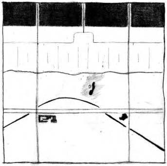
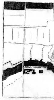
168
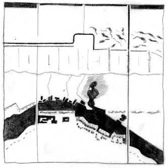
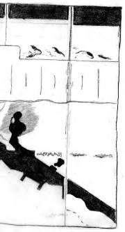
Middelkerke Phasing
169
© Arthur Stache 2021
170
GIULIA DEVIS BING DU VALERIAN A. PORTOKALIS
Expanding Coastal Landscape: The dune forest between tide and flood

171 03.03 DUNE FOREST COAST
INTRODUCTION
ATopographical Island

The project focuses on the part of the coast between Ostende and Wenduine. This could be considered as the midsection of the Belgian coast. The town of De Haan can be found on this section. As an 'urban enclave' on the Belgian coast due to its unique and picturesque architecture, De Haan - and more specifically the part in the dunes called the 'concessie' - has always been popular among tourists.
A Landscaped Island
One of the main characteristics of this part of the coast is the afforestation of the dunes at the end of the 19th century. This resulted in a completely new landscape for the Belgian coast, which fixed the dunes into a compact island of topography. This project was designed and directed by Louis Van der Swaelmen.

172 88
OSTENDE BREDENE
DE HAAN WENDUINE
Plan for the Dune Forest park between Oostende and BlankenbergeLouis van der Swaelmen1888.
0 250 750 1,5 km 0 250 750 1,5 km
Lignes of Mouvements


This forested landscape has fixed the dunes into compact island of topography in order to allow the creation of continuous lines of infrastructure. These lines, the 'Dune Road', the coastal tramline, the Koninglijke Baan and national road have thus formed and been formed by the landscape.


173 89
0 250 750 1,5 km
FIELDWORK
BREDENE RENBAAN
Bredene Renbaan
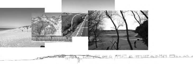
One of the interests of the fieldwork was to identify, via sectional drawing and photography, how the different infrasctructures cross this island of topography, as well as how urbanism deals with this topography. The aim was also to draw the interface between this island of topography with the sea on one side and polders on the other. Here, in Bredene Renbaan, coastal tramline, the Koninglijke Baan and national road are brought together. In order to cross them, a tunnel was built, damaging the dunes and therefore the costal protection they provide.


174 90
0 250 750 1,5 km
VOSSESLAG
Vosseslag
In Vosseslag, the different infrastructures and the topography of the dunes are crossed by a bridge. This bridge connects the urbanised area directly to the seaside. The 'Dune road' marks the end of the topographical island and the beginning of the polders. The part of the polders adjacent to the island is urbanized by a mix of different urban fabrics. Indeed, one can find apartment buildings, singles houses, semi-detached houses and camping sites.

175 91
0 250 750 1,5 km
De Haan aan Zee
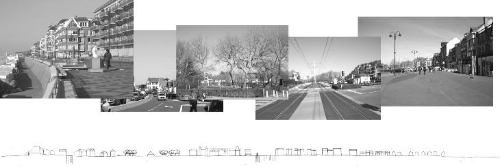
De Haan is a specific part of this topographical island. It is indeed the only place where the island is urbanised, like an urban balcony reaching directly for the sea. Apart from the Koninglijke baan, which remains close to the sea, all lines of infrastructure converge on the edge between the topographical island and the polders. The interface with the sea is managed by a concrete dike and a promenade, both characteristic of the Belgian coast. On the polder side, the urbanisation of De Haan is gradually continuing. This new urbanised area is growing steadily and is gradually eating up the agricultural land.

176 92
DE
HAAN AAN ZEE
0 250 750 1,5 km
Zwart Kiezel
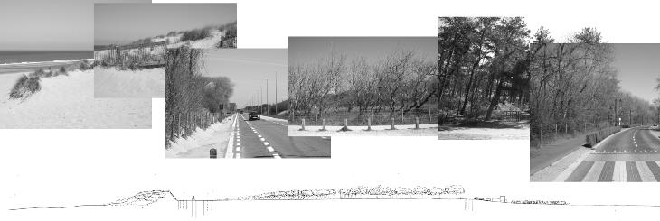
Zwarte kiezel and its surroundings are perhaps the most 'wild' and still forested place on the forested dune coast. The infrastructure is all gathered in one area, just behind the first dune while the rest of the dunes is forested. As for the rest of the topographical island, the Dune Road is found at the edge of the dune topography and the polders. Here, the borders of the polders are inhabited, not by the urban sprawl of the edges of De Haan, but by campsites. Caravans, mobile homes and small houses are grouped in allotments and carpet the front part of the polders.

177 93
ZWARTE KIEZEL
0 250 750 1,5 km
READINGS
by Landscape & Landscape
by infrastructures
The lines of movement are thus created and create the landscape. They create and shape this topography, and so leave their mark on the dunes. But, the lines of mouvement are also created according to the topography. Indeed, their trajectory and their curves try to follow the already existing topography lines.
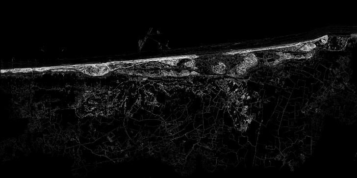

Infrastructure informed
formed
0 250 750 1,5 km 0 250 750 1,5 km
Islands of ecologies
The current condition of the forested dune is, however, far from the one initially projected. Indeed, the infrastructure lines, by fracturing the topography, have generated small different areas. Some of the framented area are still forested, but others over time were converted into golf course or places for tourism and recreation and thus, have lost their natural ecology.
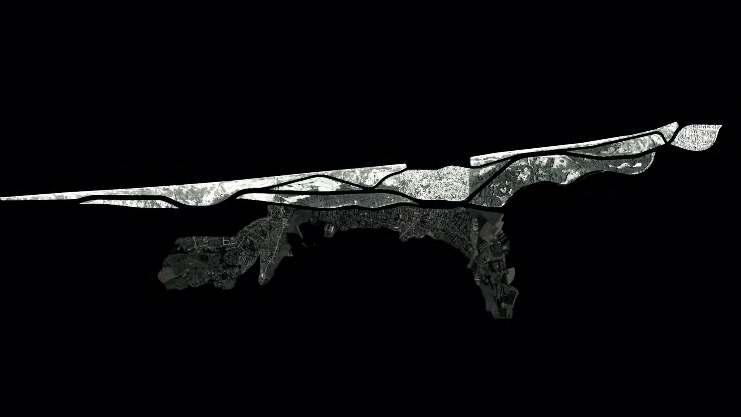
179 95
Foredune Grey dune Grey dune Foredune Golf Golf Urbanised dune reminiscent Urbanised dune reminiscent Forested dune Forested dune Foredune Settlement Grey dune Settlement Grey dune 0 250 750 1,5 km
Between waters: stormflood 2100
The sea level is expected to rise by 30 cm to 50 cm by 2040 and by 60 cm to 2 m by 2100 at the Belgian coast, depending on the scenario (CLIMAR, 2011). During storm events, it will be even more important. Although this forested dune makes this part of the coast one of the most effective in terms of coastal protection, in Bredene, where the topographic island is thinnest, the risk of flooding is high.
CLIMAR project. « evaluation of climate change impacts and adaptation”. SSD – science for sustainable development & BSI – Belgian science policy. 2011. URL : https://www.belspo.be/belspo/SSD/science/Reports/CLIMAR%20Final%20Report%20ML.pdf. Consulted 11th June 2021.
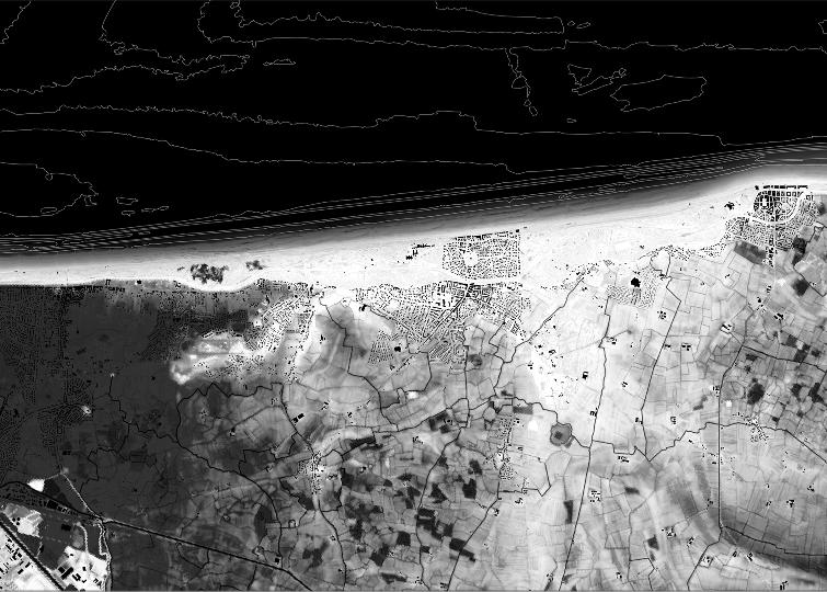
180 96
0 250 750 1,5 km
Between waters : undrainable polders 2100
Furthermore, with rising sea levels, the entire polder system would potentially have to be rethought. The polders work on a system of communicating vessels. The water level of the polders on the coast is constant at around 3m. When the tide is lower than three metres, the fresh water in the polders is discharged into the sea to allow them to re-drain again. At present, our tides fluctuate between 0 and 5 metres, depending on the seasons and the moon's cycle. However, according to MUMM predictions, the 'zero' sea level could rise to 3m, which would make the tides fluctuate between 3m and 8m making polders below 3m undrainable unless they are pumped out. This is one of the oldest but also one of the lowest polders on the coast. So this is a place where the problem will occur in the future. Extract from the article 'Challenges for the coastal region' written by the author for the newsletter "what challenges does the see throw at us?" for the 8th world urba nism seminar organised by the KULeuven.
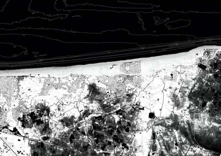
181 97
0 250 750 1,5 km
CURRENT STATE
Dune Forest Coast 2021
The combination of all these readings brings us to the current state of the dune forest coast. The fixed topographical island is clearly visible in white, as well as the 'concessie' of haan and all the urban development that is sprawling and eating up the polders.
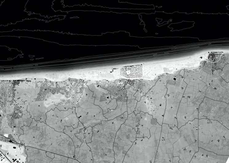
182 98
0 250 750 1,5 km
From fixed to dynamic Landscape
From fixed to dynamic Landscape
The project proposes to pass from this fixed to a dynamic topog raphy by rethinking, among other things, the infrastructure lines that shaped them. The aim is to remove these infrastructural lines to expand the dune forest landscape into a dynamic landscape. This landscape would combine a tidal landscape, a flooded pol ders landscape and a whole new ecology in the dune that is no longer broken by infrastructure.
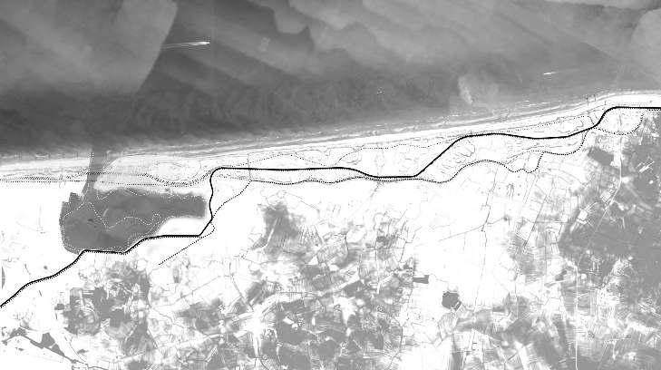
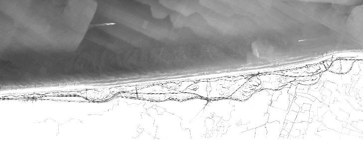
183 99
VISION 0 250 750 1,5 km
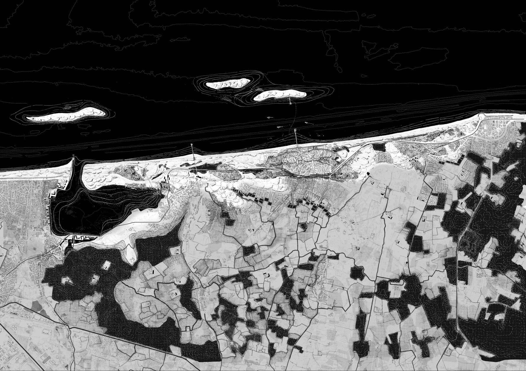
Therefore, this vision proposes to pass from this fixed to a dynam ic topography by rethinking the infrastructure lines that shaped it. This would allow the dune forest to recover a more unified ecol ogy, composed by a patchwork of forested dunes and dynamic dunes. This ambition finds itself completed by more specific interventions. In Bredene, a critical location for coastal defence, a tidal landscape inland is projected. Besides retaining sea water, this new landscape will offer residents and visitors a new way of experiencing the Belgian coast. The town of De Haan repositions itself again within these landscape, the ‘concessie’ as part of the dune landscape and its more recent extension it the polder finds a new relation with a sequence of freshwaterponds that defines it’s edge. The polder landscape has also been completely redesigned. Indeed, the areas susceptible to flooding due to the impossibility of drainage are redesigned to accommodate water retention basins.
Extract from the article 'Challenges for the coastal region' written by the author for the newsletter "what challenges does the see throw at us?" for the 8th world urbanism seminar organised by the KULeuven.
 Vision 2100
0 100 300 600 m
From Line to Valleys
The first step, in this vision, is to decommission the infrastructure lines from the island of topography. Their traces left in the topogra phy, so called 'valleys', would be rethought for other purposes (water storage, soft mobility in the dune). Only the tram would remain in the dunes, although its route would be redesigned in other valleys than the one it currently uses.


186 102
0 250 750 1,5 km 0 250 750 1,5 km 2021 2100
From Intro to Extroverted Ecologies

The decomissioning of the infrastructures then allows a dune forest to recover different but unified ecologies. In order to make it more dynamic and natural, the currently forested areas would be kept as they are, and the areas intended for golf and recreation (which are the weakest parts of the coastal defence) would be left without any maintenance, in order to re-cover a more natural and dynamic dune system in these places.

187103
0 250 750 1,5 km 0 250 750 1,5 km 2021 2100
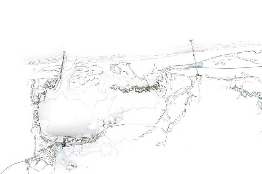
188 104 0 100 300 600m
From Border to Edge
This change from a fixed to a dynamic landscape creates new edge conditions with complex temporalities (tidal, sesonal landscape that works together). It is in these new edge conditions that the vision see the urban. These edges are therefore no longer just borders, but become places of exchange between several ecologies, places to be reconsidered and designed.
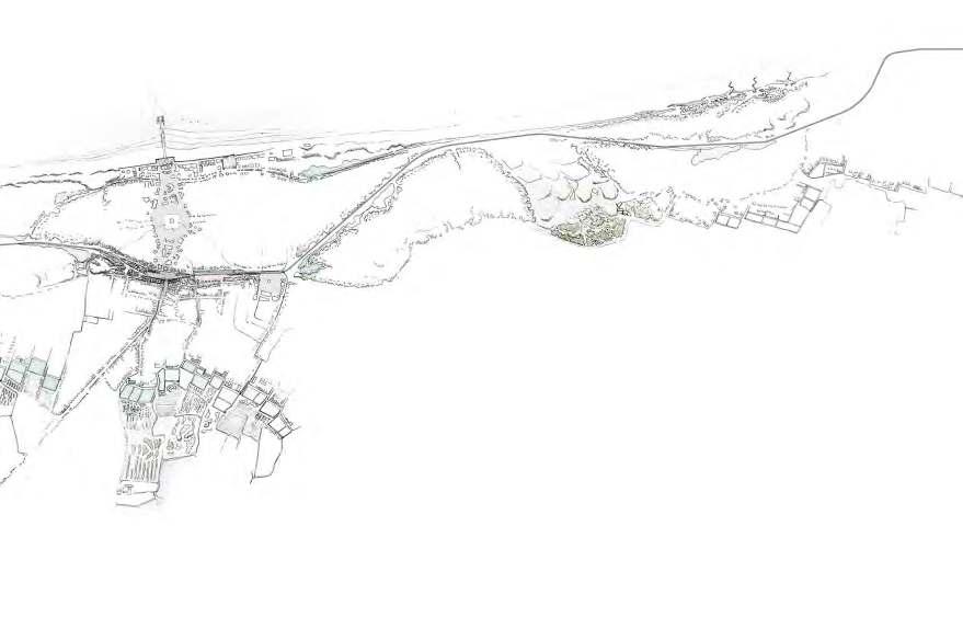
189 105
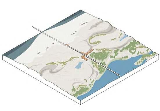
The Valleys
This small axonometry shows us the new conditions that are possible in the topographical island by the decomission of the infrasctuctures. It shows the existing valleys and the possibility of reinvesting them in other ways.
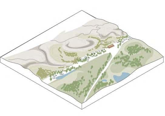
Crossing the Dune
In Vosseslag, the bridge that crosses the topography of the forest coast dune is kept and even extended to the sea. Thus, the 'movement of peoples' towards the sea is gathered in one place and allows the other parts to remain more natural.
190 106
Inhabiting the Edges
Between the landscapes created here, the edges are places that we believe are suitable for new urbanism. Here, between the dunes and the current urban development of Vosseslag, new typologies that we have called 'dune breakers' are thought out. Hence, the designed urbanism is directly linked to the edges and the place where it is built.
New polders Ecologies
The issue of the polders' potential for unrepairability is a major concern. The polders are therefore redesigned accordingly. Indeed, water reservoirs are drawn at the lowest points and are permanently flooded, with areas that can be temporarily flooded during heavy rainfall. These new conditions offer the possibility for new ecologies to form and work with existing agricultural ones.
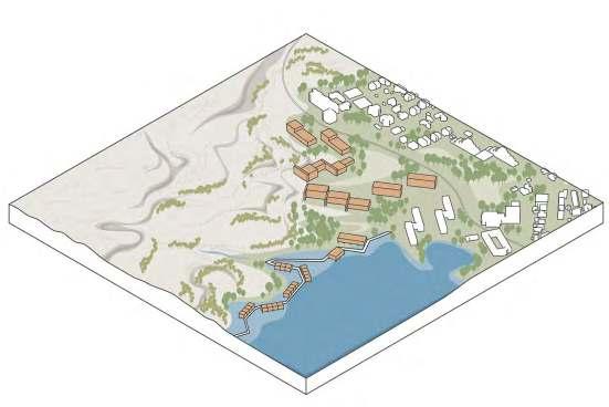
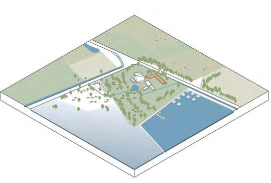
191107
ZOOMS
Bredene
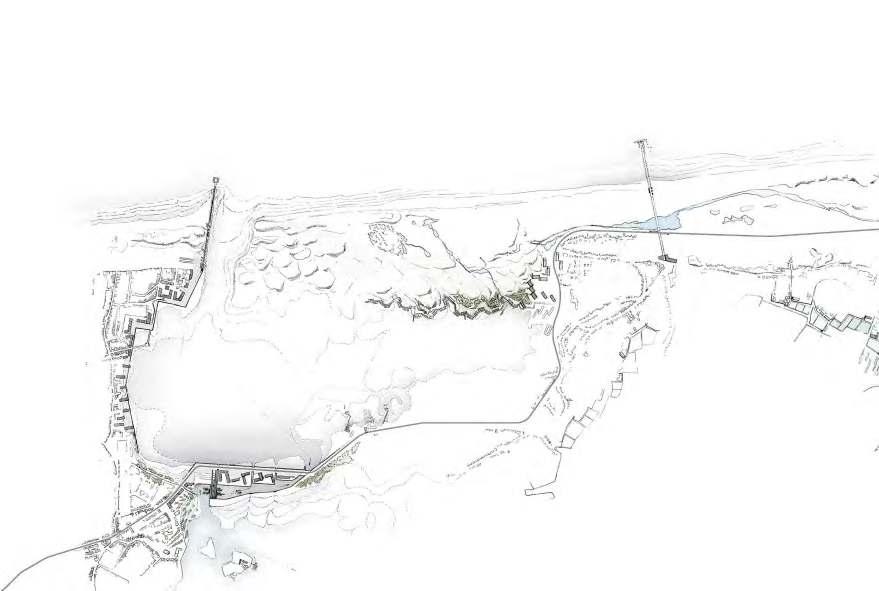
192 108
0 100 300 600m
From Border to Edge - ZoomsDe Haan

We focused on two specific zooms to further develop this idea of border to edge. The first zoom is in Bredene, between the flood ed polder landscape and the tidal landscape. The second zoom includes the whole of de Haan, from the beach to the end of its growing urban sprawl.
The zooms, like the rest of the project, were discussed and thought out with the whole group. However, it was the zoom on de Haan that I particularly worked on. So, it is this zoom that is developed in the personal part.
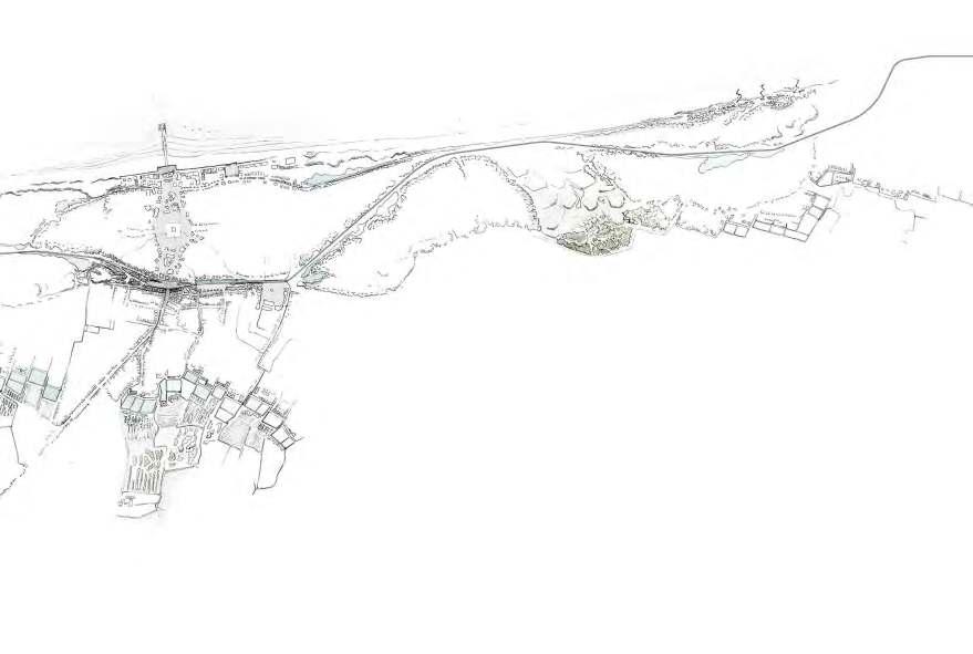
193 109
From Border to Edge - Bredene
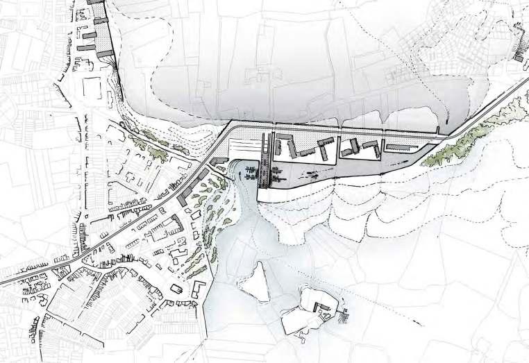
What we found interesting to develop here in Bredene is the dike (which we wanted to be inhabited) created between the tidal and the flooded polder landscape. Indeed, this edge between the two will be a unique place on the Belgian coast. The concept devel oped is the creation of a small harbour allowing the exchange be tween the two waters. A building is designed with, on the ground floor, storage spaces directly in contact with the boats of the two waters (in order to be able to gather all the food that is brought to it) and on the first and second floor, a market where you will be able to enjoy all these good products. This place is therefore also a place of gathering.
From Border to Edge - De Haan
The zoom of De Haan here on the right will be developed in the second part, the individual research part.
194110
0 60 180 360m
195111 0 60 180 360m
PHOTO-ESSAY : DE HAAN IN 2021
The Dike
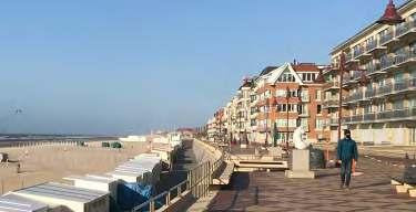
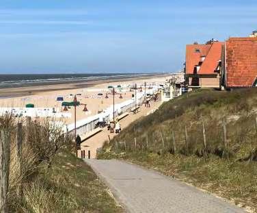
TheinterfacebetweentheseaandthetopographicislandinDeHaanisthe dike. Characteristic of the Belgian coast, the dike and its promenade are borderedbytheso-calledAtlanticWall. ThisAtlanticwall,hasfragmented thedunescapeinordertoliveasclosetotheseaaspossible.Byflattening the dunes, building concrete dikes and imposing apartment buildings, thisurbanisationhascompletelylostitsrelationshipwiththelandscape.
The 'Concessie'

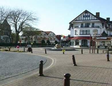
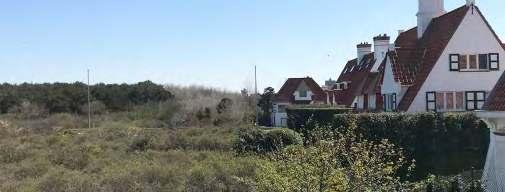
The settled part on the topographical island of the dune forest coast is what is called the 'concessie'. King Leopold 2 had given this territory as a concession to build a seaside village for pleas ure at the end of the 19th century. To build a villa there, the rules were very strict. Indeed, only one type of architecture (quite pictur esque) was developed. The public spaces are concentrated on the axis between the tram stop and the sea. The rest of the concession is urbanised by similar villas. Only the dike and its Atlantic wall dif fer from this picturesque architecture. The end of this concession is very clear. As can be seen in the photo above, all the last houses are lined up and at the end of their garden, you can see the forest ed dune area that start again.
196
GIULIA
DEVIS DE HAAN: (RE)POSITION WITHIN THE LANDSCAPE
The Edge
The edge between the 'Concessie' and the urban sprawl that is gradually developing on the polders consists mainly of infrastruc ture lines. The tram, the Dune Road and the new National Road pass through here. A public space has recently been built on the side of the new development of the city with cafes, markets, ... But, for the moment, it lacks a strong link between these two urban development areas.
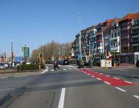
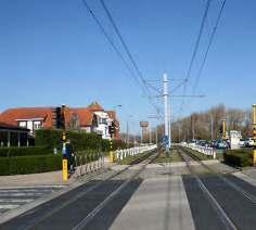
The Polders
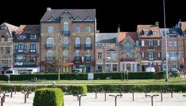
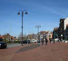
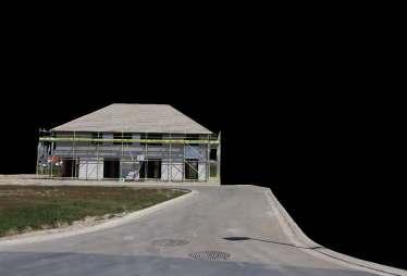
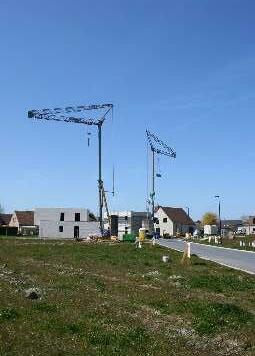
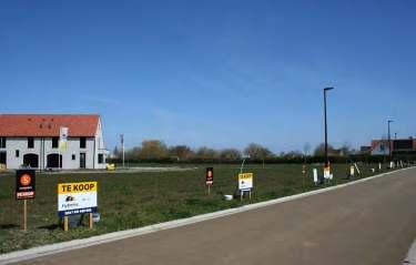
De Haan therefore expanded beyond the Concessie. Little by little, the polders were eaten up by urban development. This develop ment continues to this day. Indeed, the edge between the polders and De Haan is only receding, allowing the urban development to gradually spread over this landscape.
197
READINGS
198
Topographical analysis

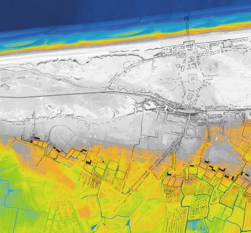
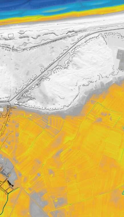
It can be seen here on the topographical analysis that the De Haan concession is located on the topographical island. However, what this topographical analysis also reveals is that the development of De Haan that took place in a second time is partly also situated on the heights. Indeed, part of this settlement development is located on the reminiscence of an old dune, thus taking advantage of its elevated topography in contrast to the polders.
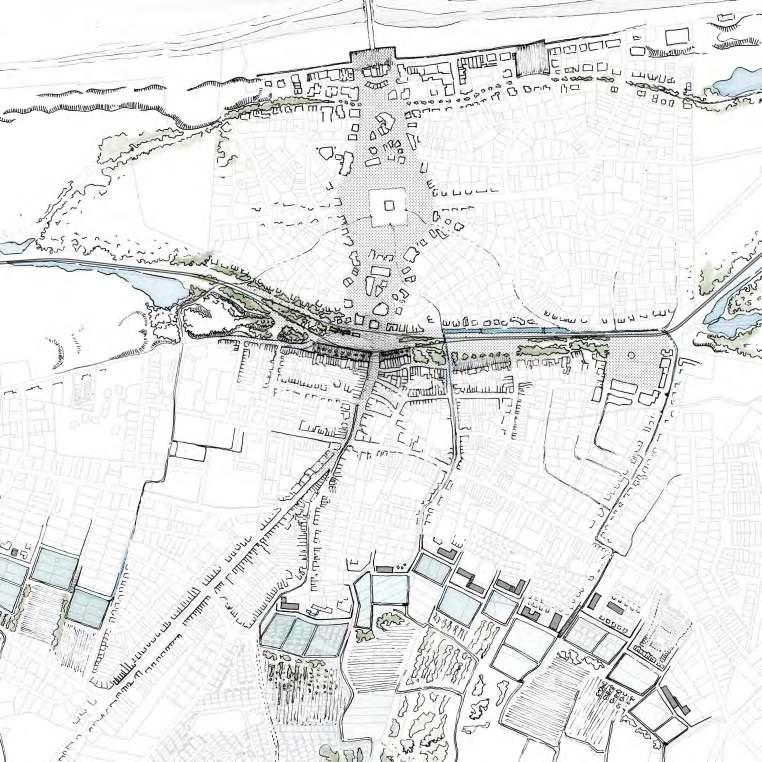
The proposal for this edge is to highlite this reminiscence of a dune by creating, along its entire length, a sequence of freshwaterponds that will defines it. These freshwaterponds are spaces to collect 'urban' rainwater and allow it to be purified by means of a filtering basin system. In addition, they will also contain the urban development on the polders
199
0 80 240 480m
VISION 2100
Vision for De Haan - 2100
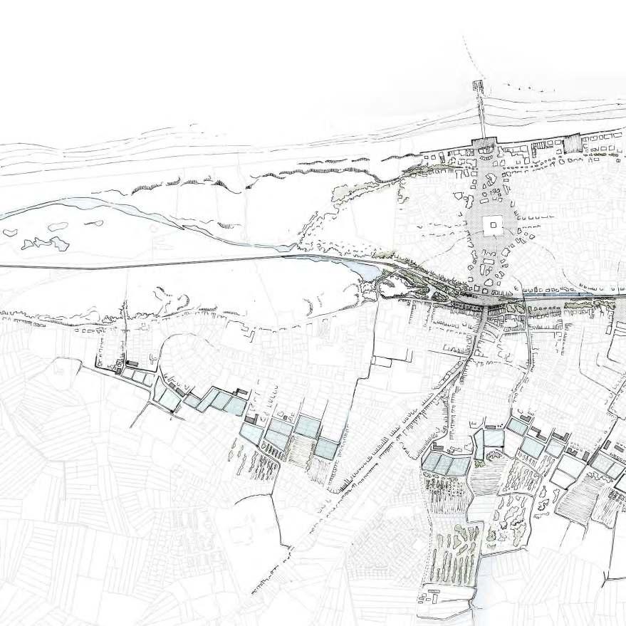
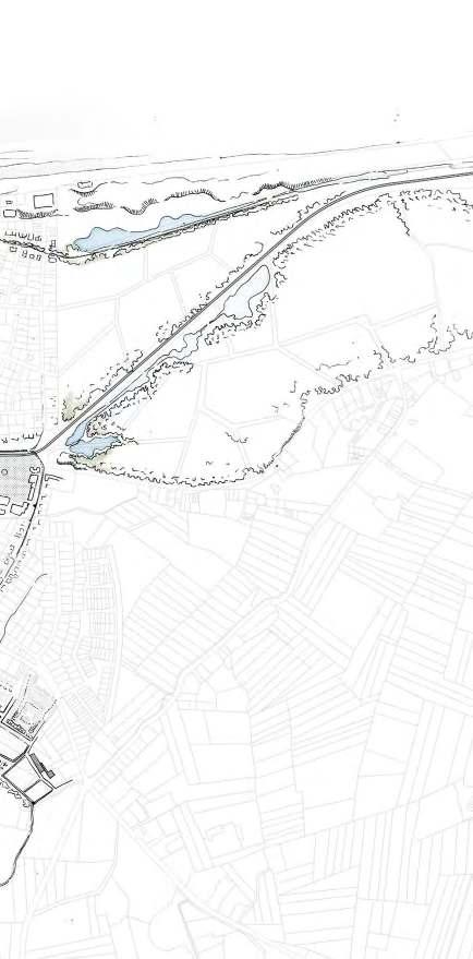
The vision for the city of De Haan is to reposition it again within all the landscapes it borders. Indeed, the 'concessie' as part of the dune landscape, will be forested like the rest of the dunes near it. The more recent De Haan's extension in the polder will find a new relation with a sequence of freshwaterponds that defines it's edge. Finally, the central part, where several lines of movement come together and which articulates the Concessie with the more recent part of the development, is also rethought. This edge between the two urban developments is redesigned as a large public space.
201
0 80 240 480m
ZOOMS
From Border to Edge - The Public Space

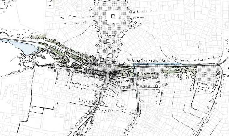
The public space created between the concession and the new urban development and through which the tram also passes, aims to redefine all these relationships. This large public space is designed with a unified floor, thus unifying all the uses that will take place on it. In fact, it is conceived as a single space, but intended for many uses (market, café and restaurant terrace, place where the tram passes, a meeting place). In this way, a new centrality is created there.
202 120
0 32 96 192m 0 2.5 7.5 15m
From Border to Edge - The Freshwaterponds

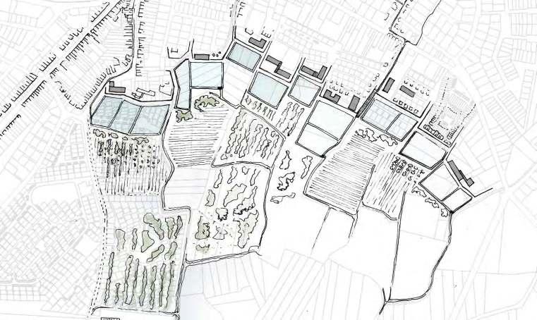
As mentioned before, the sprawl of De Haan is spreading more and more into the polders. The Vision proposes a way to stop this urban sprawl by integrating Freshawaterponds into the landscape. By creating a defined edge, these ponds will constrain urban development on the highest part (part of the reminiscence of an old dune) where it is safest in terms of future flooding risks.
These Freshawaterponds also serve as a filter basin for urban water. The aim is to filter the water in order to discharge it into the polders and ponds.
In addition to their technical and urban characteristics, these ponds want to bring a completely new landscape to the edges between urban development and the polders, thereby redefining these boundaries.
203 121
0 32 96 192m 0 2.5 7.5 15m
204
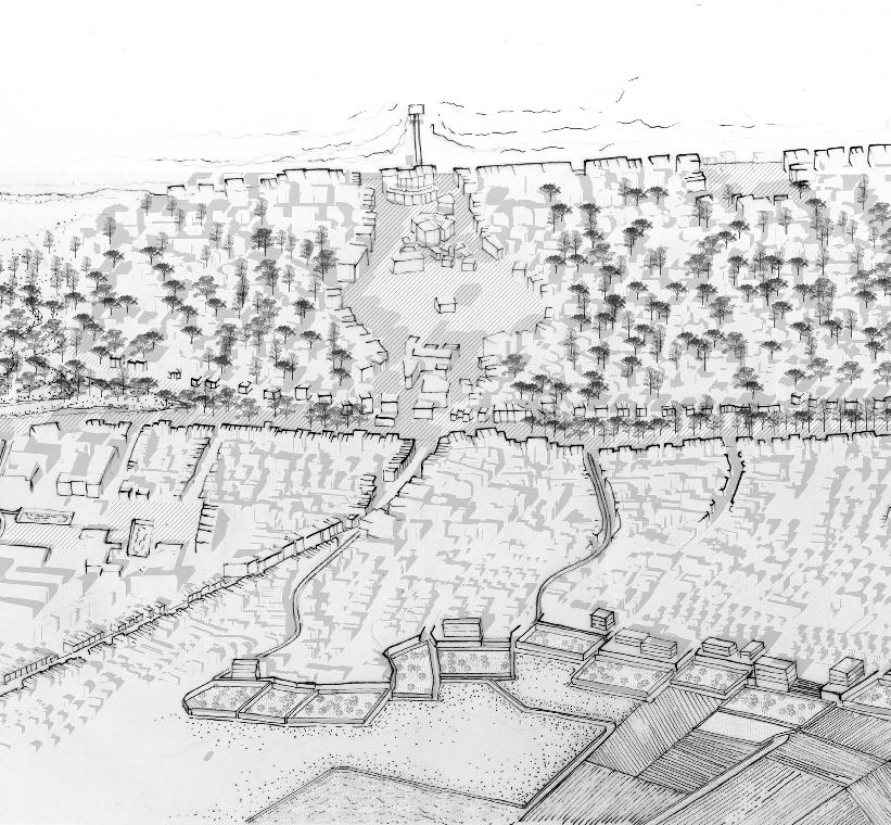
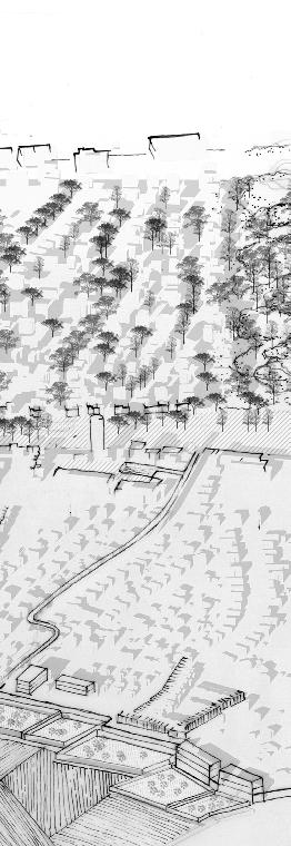
Right: an axonometric view of the De Haan vision for 2100
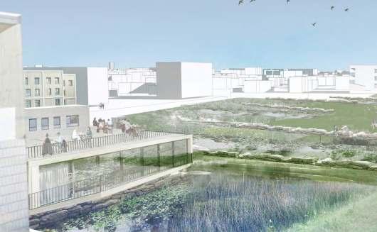
Bottom: view of the freshwaterponds on the edge between the city of De Haan and the polders
205


206
LEANDER BAEKE YING LI DONGLIN LIU CAROLINE THALER
POLDER COAST Three Waterscapes Towards One Exposed Coastline
207 03.04
Discovery of three waterscapes within the existing landscape of the polder coast

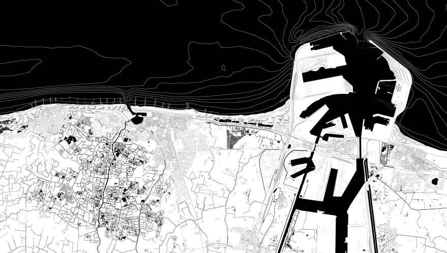
During our fieldwork we discovered 3 completely different waterscapes within the area of Wenduine, Blankenberge and Zeebrugge that are defined by the waters mechanism and identity. The project is called 3 waterscapes towards one exposed coastline as we strengthen in our proposal the 3 different waterscapes that go towards a coastline that is being exposed again.
208
Uitkerkse Polder


The first waterscape that can be found on site is that of the Uitkerkse Polder. Nowadays this a protected nature reservoir with a very defined character that is as intensively used by animals as by bikers. Historically this polder was created by man to control the waterstand in their agricultural fields by using the tides. A big part of the low lying landscape is protected by a row of dunes. Over time the historical landscape has been altered heavily with large (semi-) permanent campingsites and a tangle of small canals. The landscape is marked by open grasslands with grazing sheep and water surfaces that attract a wide variety of bird species.

209
Middleland
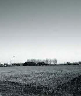
The second waterscape is called the middlelands as it is located in between the Uitkerkse polder and the harbour. It is defined by wide open fields and agriculture fields. The nature reservoir called the ‘fonteintjes’, which is built out of dunes and an old dike with ponds in between them, protects this area very well from sea level rise. Behind lays the royal road and a newly planted 'Sea Forest'. The uncharacteristical description explains the issue with this part of the landscape, it is lacking an identity. The landscape has developed into farm domains with bigger agriculture plots. A windmill in the background introduces the third waterscape.


210
Harbour


The third waterscape is shaped by the harbour. This massive machine is very present in the landscape. Over time it has been eating the landscape and created hard edges between industry, urbanism and nature. Upon closer look these big contrasts that appear in the landscape do have their qualities.

211
Coastline
These 3 systems bring the water towards the coastal line that is very scattered today, especially at the harbour. There is no clear distinction any more of where the coastline used to be.
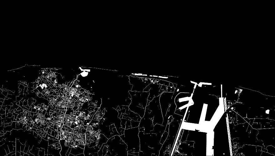
212
Historical development
These three different waterscapes all originate from one big sea. This sea used to reach all the way to Bruges. With the tides, tidal streams started to appear, as was the case alongside Bruges. The sea was pushed northwards and dunes started to form. The constant flooding of the landscape by tides and storms were eventually held back by human made dikes. The drainage of the agriculture on these lower polder landscapes happened with the use of small canals that all ended up in one big canal. Higher grounds were less attractive for agriculture and were used for forests or less intensive agriculture. Eventually humans also controlled the water of the former tidal streams by canalizing it into one big canal and using it as a connection between the newly created harbour and Bruges. This harbour only kept expanding, both inland and seaward.
213 23
•(Bruges)
•BRUGES
•BRUGES
•Blankenberge
•Blankenberge
• •BRUGES
•Blankenberge
•BRUGES
•Blankenberge
•
Topography & Bathymetry
Both the history and the future are linked to the topography that was formed over time. Sand accumulation resulted in higher dunes. Together with manmade interventions it protects the lower lying areas. These former tidal landscapes each have their own specific topography.
214
+3m Sea level rise

In the future each landscape will have specific consequences when the sea level will rise 3 meters. The maps shows everything in black is lower than 3 meters and will be flooded by 2100. We mostly see this in the polder landscape. The grey zones are less likely to flood, but still carry some risks. The higher laying middle lands are at risk, but with a double dune layer at the coast, we foresee little trouble. Lastly the white areas, such as the artificial elevated lands in the harbour will have no problems with regards to sea level rise and storms.
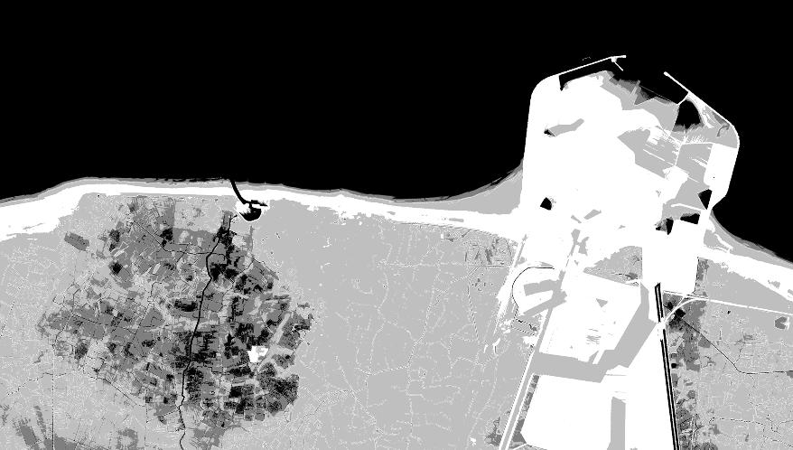
215
The coast 2021

At the coast it is often the sea that ‘steals all the attention’. However our analysis has taught us that the water right behind the coastal line is equally important and defining. Furthermore we argue that water can be the carrier for change that needs to happen in the future, while simultaneously strengthening or redefining its role in the landscape.

216
The coast 2100

That’s why we envision strengthening not only these waterscapes’ identities but also their mechanisms in the way they bring the water towards the coast. Ending the story with the coastal line, which is no longer very recognisable as a line today especially at the harbour. We envision to expose it again and turn it into one coherent system.

217
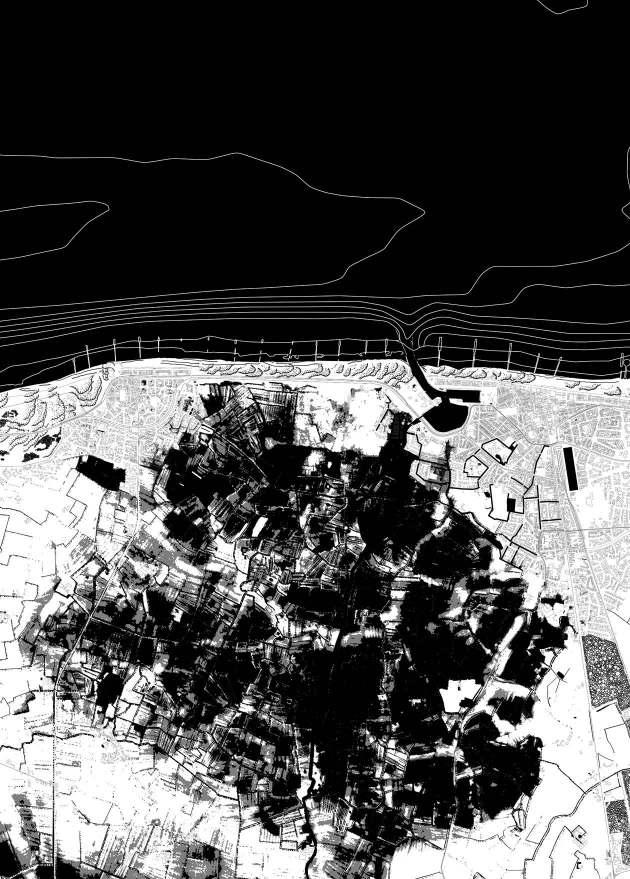
In the polder landscape the future impact and role of water will be immense. Due to its topography the landscape will be mostly flooded. The historical and picturesque role of water in this landscape leads us to the conclusion that we will not intervene against these predictions and let the water come in. This way the landscape will evolve from one historical landscape to a futuristic landscape while giving life to new nature. The logics of the polder landscapes will however not be lost and will be introduced in the urban tissue to regulate the water flows within the city.

219
Uitkerkse Polder 2100
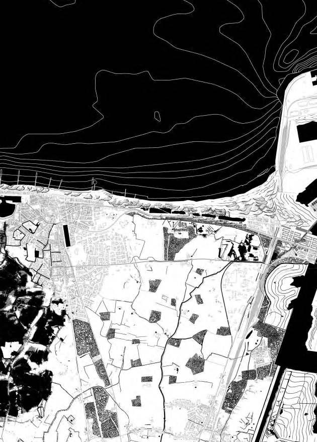
In the middlelands water will be the incentive for multiple developments that benefit the several communities that use this landscape. Along the water a network of soft mobility will give new experiences for tourism and connect the farms. Some of these farms give space to new social infrastructures such as elderly homes for the older population in the area and/ or camping sites. Like this a summertime becomes a time when several prominent communities of the area are connected within the landscape.
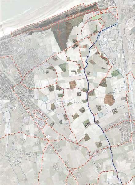
221
Middleland 2100
Landscape of the farm domains. Closely linked to the water, soft mobility networks and surrounded by forest.
Section 2021


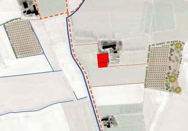
Section 2100
Alongside the branched canals, there will be a reintroduction of forest patches. This not only follows Flemish policies on reafforestation, but also creates new opportunities for tourism, productivity and biodiversity.

222
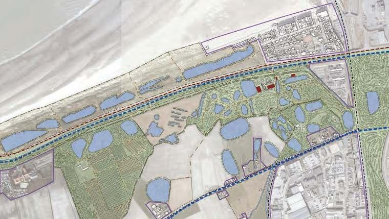


223 Section 2100 Section 2021 Remainings of the Polder landscape
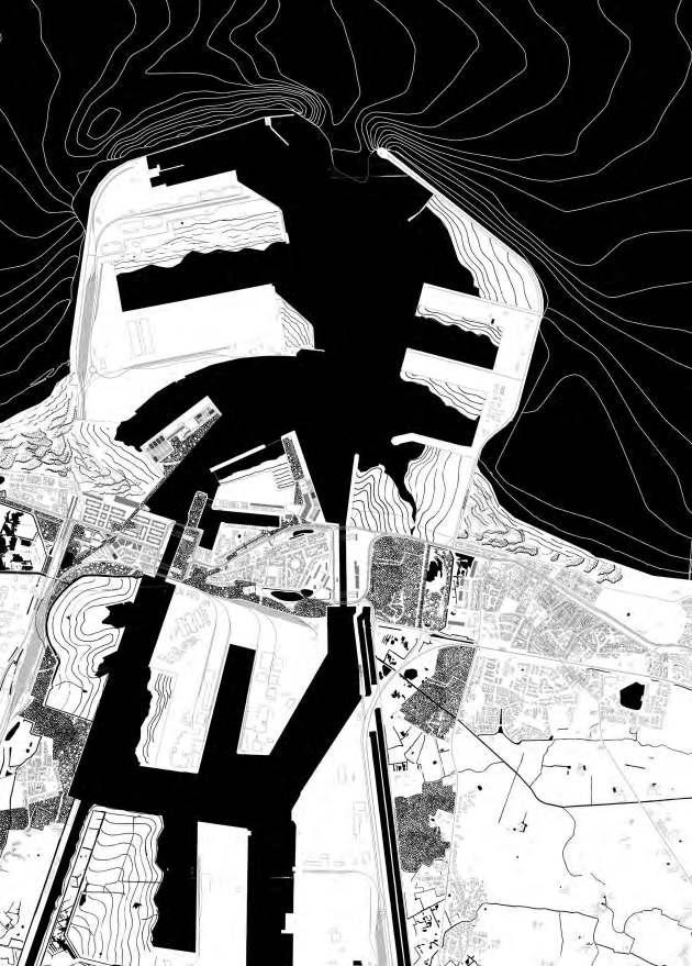
Harbour 2100
The wide waterways have given space to the efficient and massive landuse of the harbour. This machine has been taking over the landscape without taking notice of its surroundings. By reorganising this mass differently we want to allow other functions to grow and take over some of the water lines.
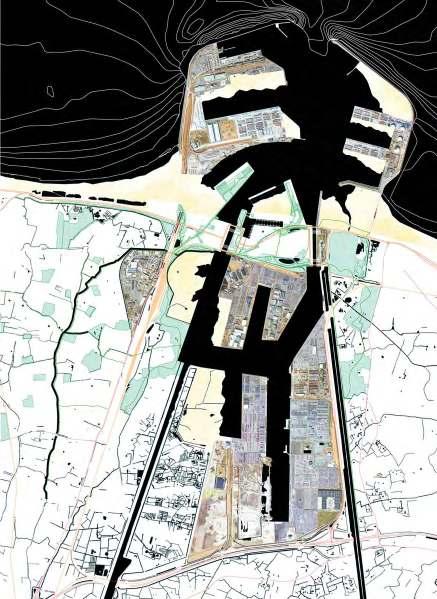
225
The green fingers
These open spaces give space to several green fingers that cross the several neighbourhoods of Zeebrugge. The massive expansion of the harbour has resulted in some villages that are surrounded by heavy infrastructure and seem out of place. We see them as stubborn grains in the machine that have stayed and have gotten their peculiar identities. The small villages of Zeebrugge are now dispersed and disconnected and even though they do have a strong identity they often lack quality. The introduction of these green fingers give opportunities for development around and inside, that benefit the neighbourhoods. The results are some strategic projects of social infrastructure, small harbour activities and new housing developments.
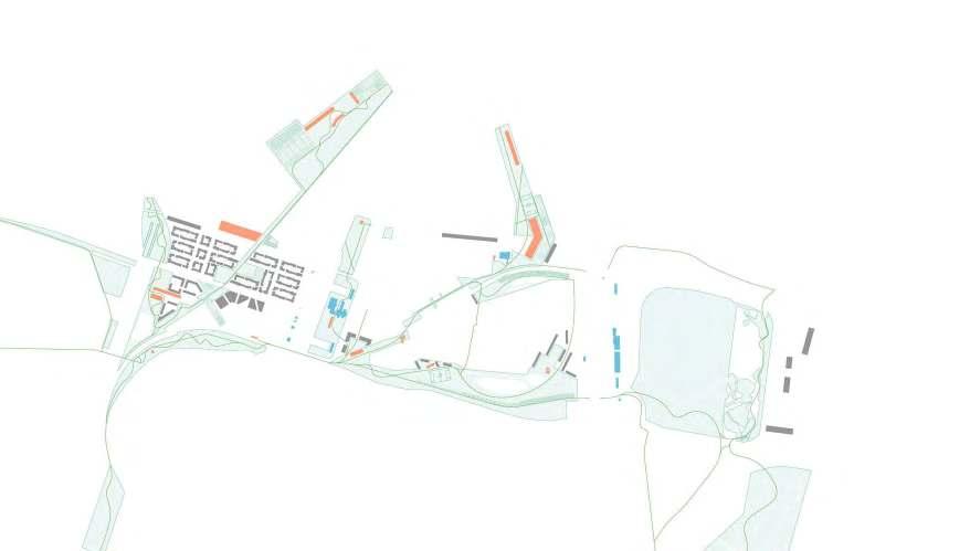
226
The sand in the machine
The green fingers also provide a buffer between the urban, the industry and the urban landscape, while simultaneously accentuating the contrast between different landscapes. The creation of tidal and urban beaches detaches the villages of Zeebrugge from the harbour in the sea. This way the old coastline is visible and sensible again.
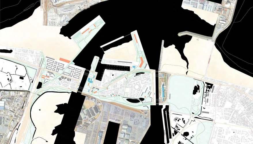
227
Strategic project 2100
One of these strategic projects will be around the harbour and marine basis of Zeebrugge, located on the oldest part of the harbour.The green finger follows an old railtrack that leads all the way up to the dock. This dock is transformed into a coastal park and the marine basis will be desealed and transformed into an urban beach. This way the inhabitants of Zeebrugge also get access to the sea.

228

229 Vision urban beach Zeebrugge 2100
2100

The three waterscapes are directed towards the coastline. This coastline has been fragmented over time and its importance will only grow in the future. With the predicted sea level rise this coastline will become a protection measure against the water. In order for this to happen we work with several measures that alternate each other.
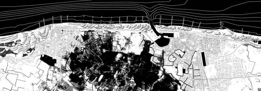
230
Coastline
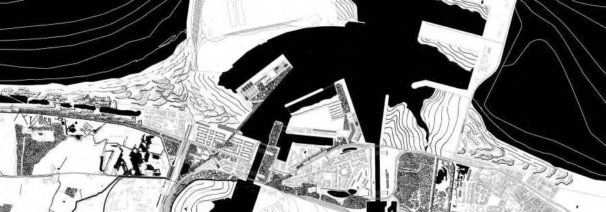
231
City of Wenduine 2021-2100


Dunes and Camping Harendijke 2021-2100 City of Blankenberge 2021-2100


232 42
Middlelands behind 'de fonteintjes' 2021-2100 City and Harbour of Zeebrugge 2021-2100


A combination of soft and hard measures are used alongside the coastline. This way the whole coastline is unified to which the three waterscapes are able to flow to and initiate development and change that will benefit the future of the coast.


233 43
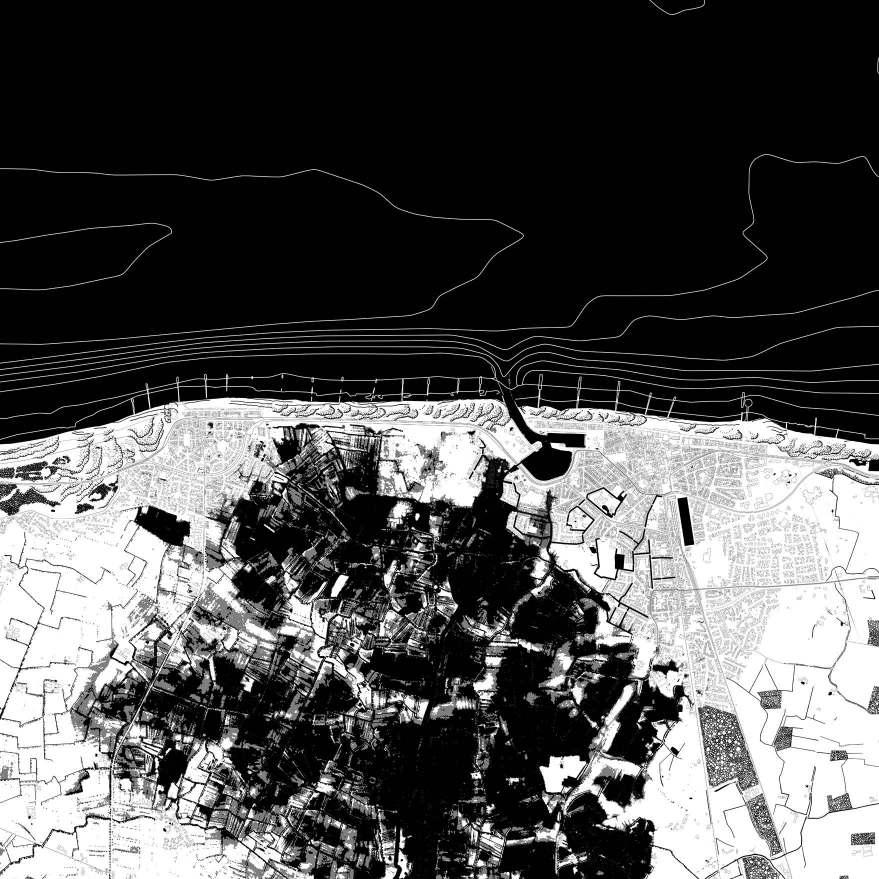
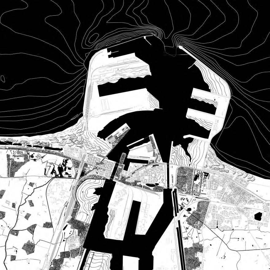

CAROLINE THALER
ADDING SAND TO THE MACHINE
Sequence of Landscapes
Analysing part of the coast between Oostende and Middelkerke according the methodology of In termediate Natures by Michel Desvigne. Gives an understanding of water as a dictating figure in the Middenkustpolder.
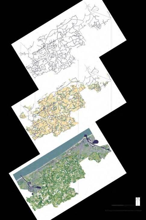
236
Historical development
237
•(Bruges)
•BRUGES
•BRUGES
•Blankenberge
•Blankenberge
•BRUGES
•Blankenberge
•BRUGES
•Blankenberge
Photographic Essay
Understanding the landscape that is draped on top of the topography


238


239
Project 2100
in of the existing harbour and village of Zeebrugge with the development of a new urban beach, new housing and a coastal park
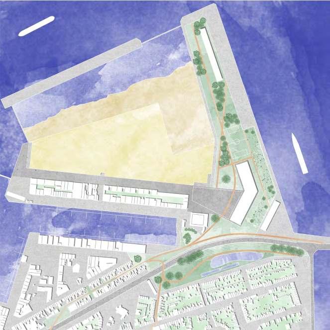
240 Zoom
Strategic
Vision urban beach Zeebrugge 2100
View on the coastal park in the background, a beach for the inhabitants of Zeebrugge and a new seafront that brings back the original coastline.
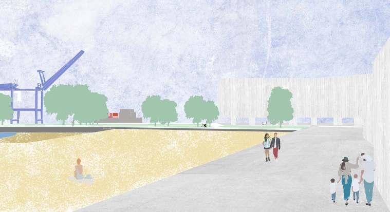
241
Three waterscapes towards one exposed coastline

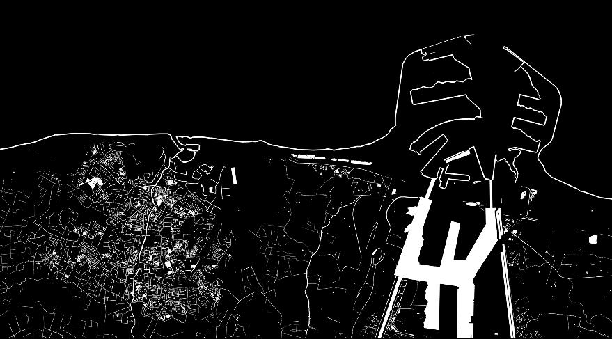
242
LEANDER BAEKE THE WATERSCAPES TOWARDS ONE EXPOSED COASTLINE
Coastline

243
Topography & Bathymetry


244


245 +3m Sea level rise
2021


246 The coast


247 The coast 2100

248 Harbour 2100
The sand in the machine

249
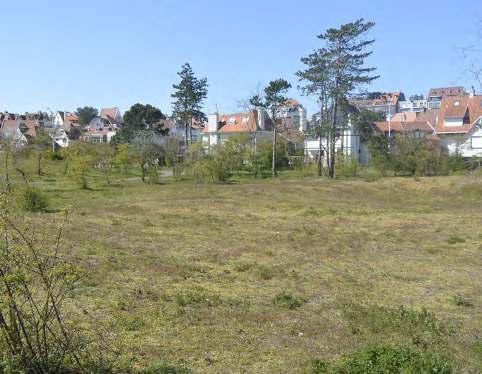
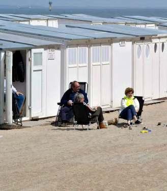
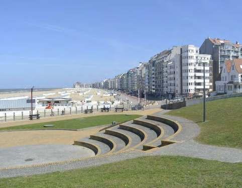
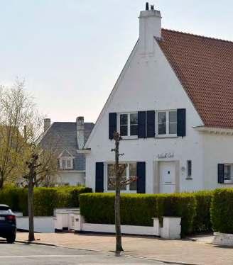
250
ARIANE CANTILLANA PERCY JUAREZ CARLIJNE LELIEVRE
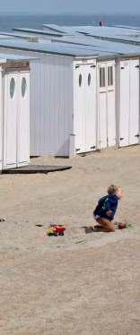
ZWIN COAST
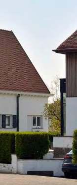
is a Weekend
251 03.05
Everyday
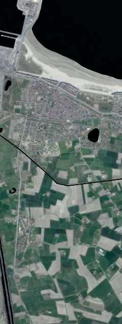

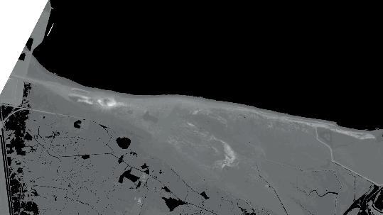
252
Existing conditions and projections: aerial picture, slopes and flooding map
The settlements present in the area are scattered along the beach, evidence of the prominence of the coastline. In the inner area, the polders landscape is located, being visible its agricultural structure and the dikes. The water, represented in black, shows the latent threat of flooding in the future.
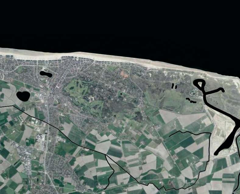
253
Over the dunes to the sea (1846-1854)
In terms of the historical landscape, the inland extension of the dune landscape, its growth from east to west reflects the prevailing wind direction of the site and the historical coexistence of 3 landscapes: dunes, polder and tidal.
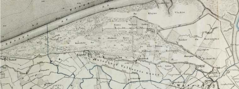
254
From ‘Cnock’ to Knokke: historical review of the site
Looking back in history, the settlement's success stems from the tourism it achieved in the roundup days of the year, where the romantic dunes and small settlement were an ideal place for painters to paint landscapes, making the town even more popular for day trippers.
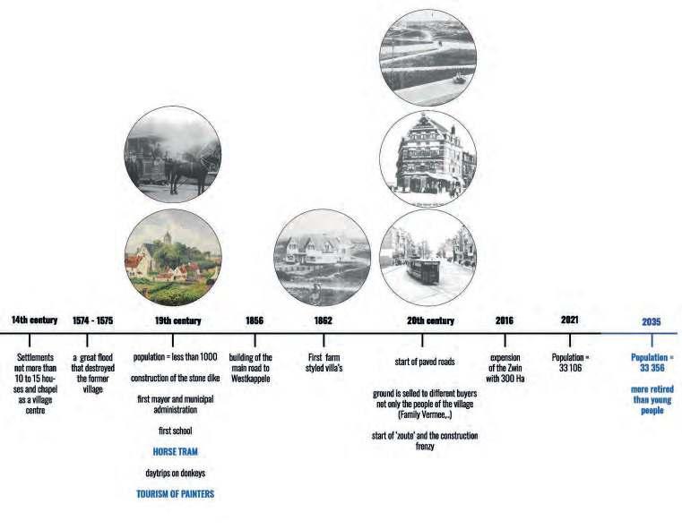
255
Field trip interpretation
During the field trip, the transition and interweaving of different landscapes and urban structures in the site became evident.The succession begins with the beach and exposed dunes, followed by the Atlantic Wall. On a higher level, the dunes are mostly covered by buildings. And finally, the railroad line over a dyke forms the boundary with the polder landscape.
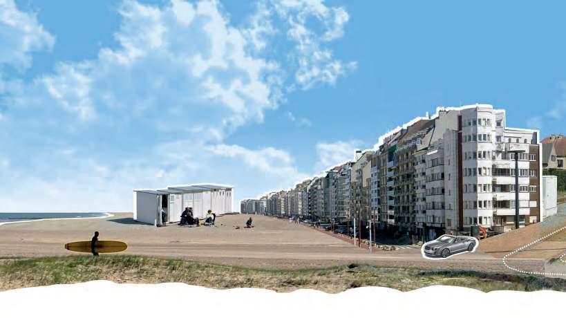
256
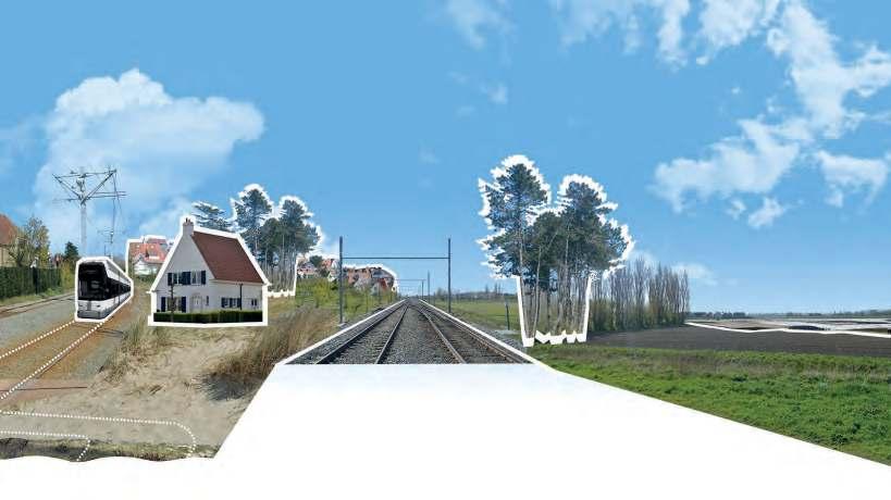
257

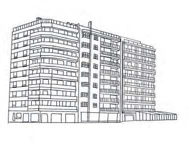
258
Typologies
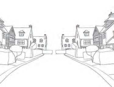
There are multiple typologies in the urban fabric. The most significant for our analysis being the one present on the Atlantic Wall in front of the coastline, followed by single-family houses and villas. While on the border with the polder landscape, we find housing blocks as a form of urban stamp.
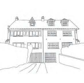

259
2100
The vision for the end of the century is to restore and link the unique landscapes that exist: dune, polder and tidal. The extension of the dunes is proposed through the return of natural space and the interconnection of the existing dunes. While in the polders, the introduction of a series of ponds is envisioned in order to provide space for flooding, which together with the extension of the tidal landscape seek to respond to rising sea levels. With the ultimate goal of establishing a permanent settlement in the area.
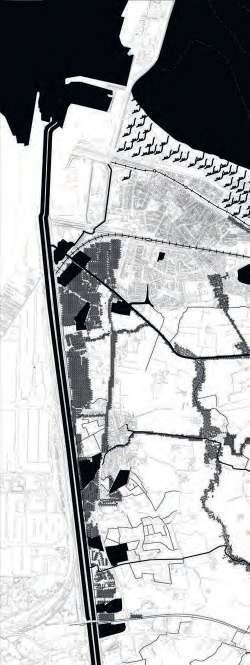
260
Vision

261


263
The strategic project focuses on the Zoute. This urban area is closer to the interconnection of the three important landscapes present on the Belgian coast,that is why we propose to intervene here specifically. But we also find the area interesting because of the presence of the dune forest, and its relationship with the surrounding urban fabric, which has encapsulated the dunes and perpetuated their use for private purposes. The objective in this area is to open up this urban fabric and enhance the relationship with nearby settlements.
The big three moves on which the proposal lands are closely related to each of the existing landscapes and it relations, thus affecting and boosting the urban settlements. And this are:
1. Accommodate water figures in the polders
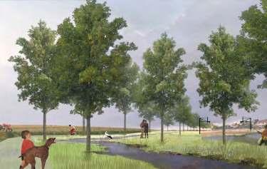
Collage of water figures in the polders

264 ARIANE CANTILLANA MATURANA INTERWEAVING COASTAL LANDSCAPES
Articulation of the water figures in front of the urbanized edge of the polder
The flooding projection - in blue - give us hints about how to articulate these water features as ponds, and channels to complement the relation between the polder and the urban settlements. The ponds proposed - in black - seeks to protect the existing urban fabric by allocating in its surrounding.
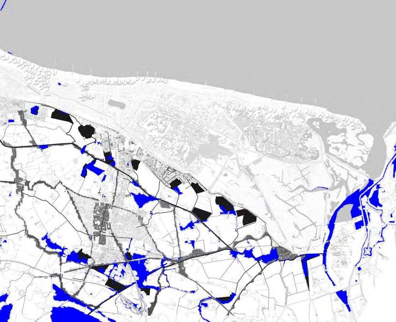
265
The Zwin is the largest nature reserve on the Belgian coast. Its expansion to the original size of the tidal landscape was considered in order to give more space to endemic birds and restore the natural ecosystem. The extension of the tramway aims to connect the park to the coastal settlements and considers 4 new stations: 1. the old consolidated fabric, 2. the intermediate polder and tidal landscape, 3. the access to the dune forest area and 4. the villas of the Zoute.
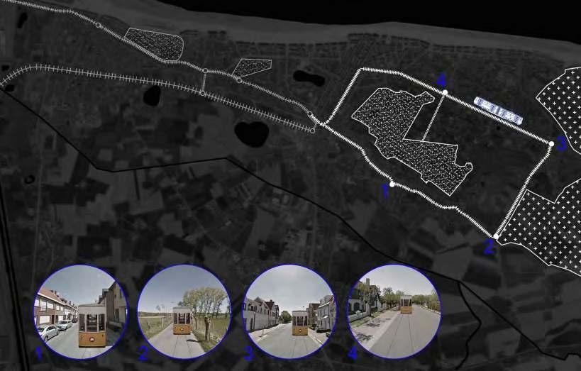
266
The Zwin as a final destination
2. Expanding the Zwin

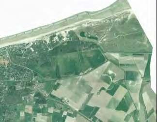
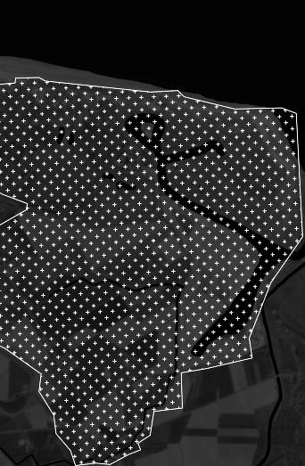
Collage of the Zwin and tram expasion
The Zwin: before 2016, existing condition and by 2100
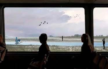
267
3. Reviving the dunes
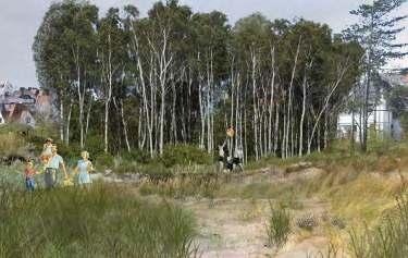


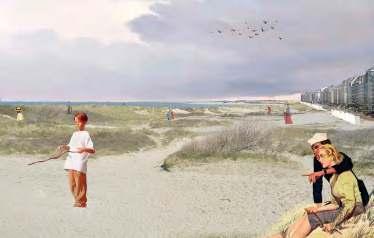
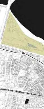
Collage of dune restoration in Heist
Collage of the Golf Park
268
Extension and connection of the existing dune area in Heist
The existing tram line crossed the dune landscape and connect two pieces of dunes in between the urban fabric. To expand this connection in a landscape level, its considered to extend the existing dune area next to the harbor until the waterfront of Knokke city center. Taking in consideration the direction of the wind and the real possibilities of restore this landscape.
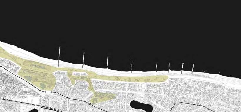
Existing condition and proposal for Knokke Golf club
The main non urbanized area of dunes in the site is the Golf course, is envisioned to transform this area in to a dune forest park that can accommodate the increasement of rain water in the future, but also seeking to democratise the dunes nowadays mainly cover by private spaces of temporary uses, like second houses and tourism infrastructure.
269
Landscape strategies in the context of the urban fabric proposal
In response to the Dune Decree, the proposal considers working with the urban footprint of the existing buildings.Throughtheopeningoftheplots,theaimistointroducetheduneforestintotheneighborhood. Doing this in phases will result in a growing open community forest and a denser neighborhood.
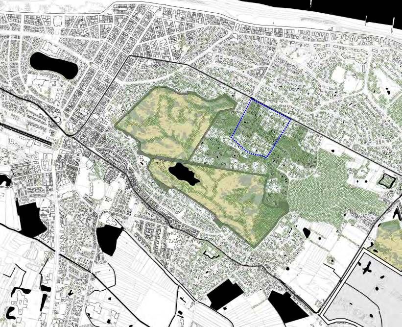
270
Transformations of the urban fabric over time
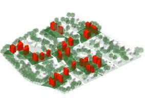
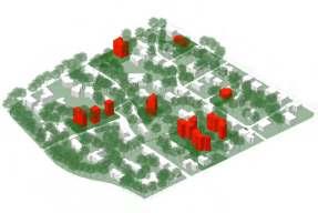
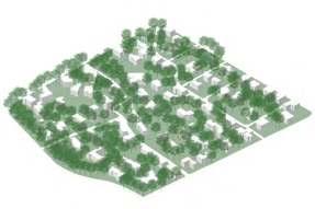

271 2021 2050 2100
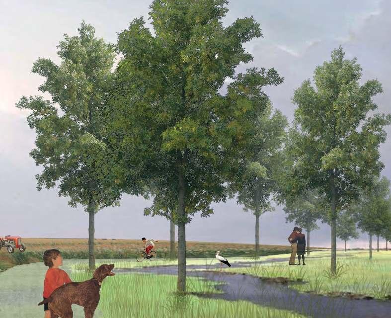
272
CARLIJNE LELIEVRE
RETHINKING THE ZOUTE
Collage of water figures in the polders

The water structure nowadays is the result of centuries of the man-made managing of the singular water changes these part of Europe is known for. The flooding projection gives us hints about how to articulate these water features like ponds and channels to complement the relation between the polder and the urban settlements. The ponds proposed seeks to protect the existing urban fabric by allocating in its surrounding.
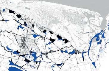
273
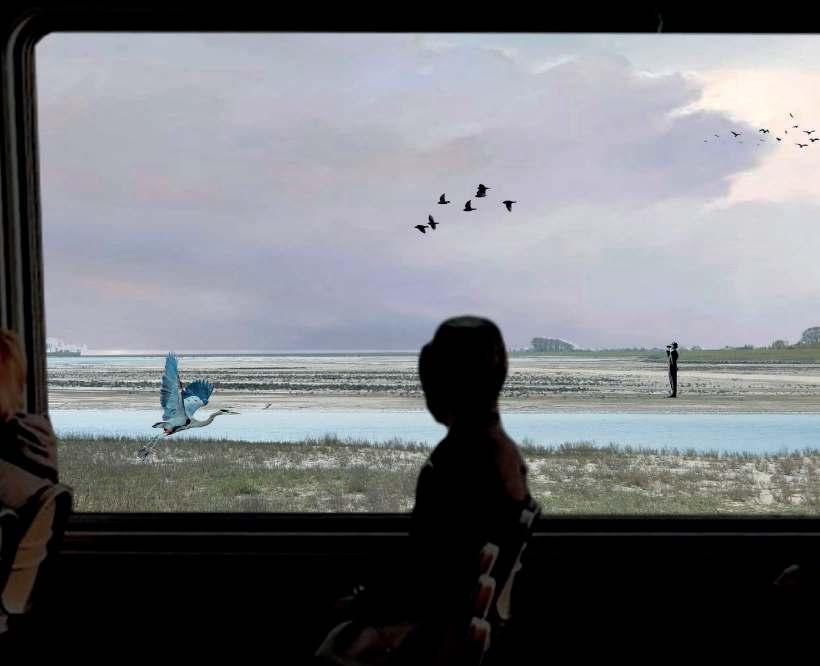
274
The Zwin is one of the biggest and most notorious natural resource and feature on the whole Belgian coast. It is the final spot, the ending component of the seaside of the whole country, in order to emphasize and potentiate this remarkable place the expansion to its original size goes in order to give more space for migratory birds to nest and rest, as other endemic species follows and the natural ecosystem will be restored.
275
Expanding the Zwin
Before 2016
After
2016
By
2100
276
Reviving the dunes on the beach
We envision that the restoration process of the dune will increase the resilience of the Atlantic wall on time protecting the urban fabric against future predictions of sea-level rise in a natural way and at the same time will bring back the longing imaginary of the landscape that attracted the people and also the development of the tourist activities in the area.
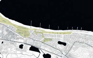
277
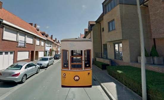
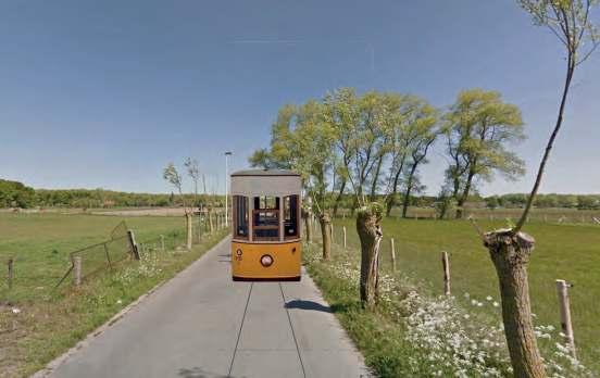
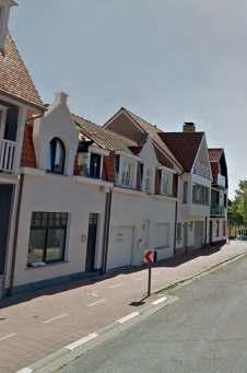
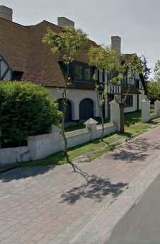
278 1 3 2 4
Map of the extension of the tramline
The extension of the tram is frame in the existing condition of the tramline that connects a major part of the coastal settlements of the country. The extension considers the addition of 4 new stations in one way line and in a form of a loop, to minimize the impact in the existing road system by connecting 4 different areas of the settlements: 1. the old consolidated fabric, 2. the in-between of the polder and tidal landscape, 3. the access to the dune forest area and 4. the villas in the Zoute.


279 73
The new golf park that can allocate daily activities of the inhabitants of the Knokke Rethinking the golfing area, by giving space to the dunes. Creating together with the large number of trees: a dune forest. No longer a private piece of land but an open park for the inhabitants of the area and tourists.
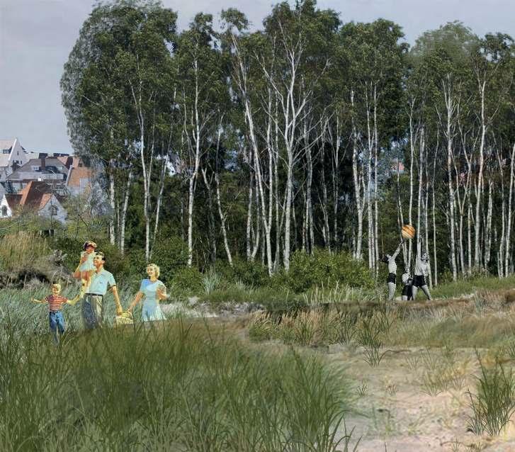
280
Existing situation
The existing neighbourhood consists of large villas with private land. What is also striking is the number of trees in this district. This creates a forest figure.
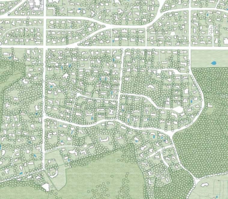
281
Vision situation in 2050
Our first step is to look at the landscape and look at the existing villas. which are not of high quality and which are easy to grow. These houses are marked in red on this map. The houses have also been converted into several family homes with a communal garden.
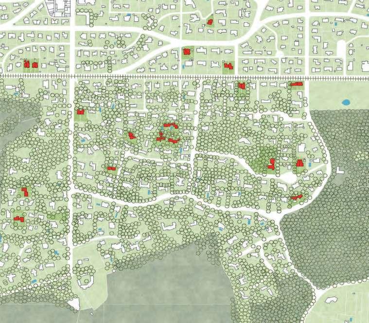
282
Vision situation in 2100
This principle of remodelling houses and creating public gardens will continue to grow in 2100. In order to create a more densely populated neighbourhood without losing the forest figure and to transform the separated community that exists today in 2021 into a new communal forest.
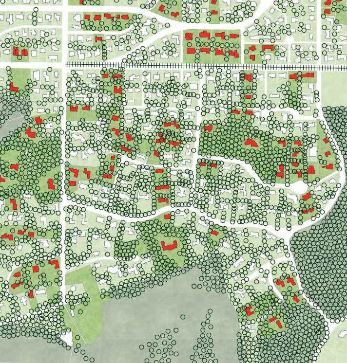
283
Zoutes new communal forest
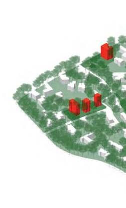
Our design strategy starts with looking into the buildings that are there, we decided to not eat away more dune landscape. We wanted to work with the existing building urban footprint. We selected housing that is next to each other and the housing that, we think will need major renovation by 2100 to remodel it to a multifamily house. Opening up the plots for the dune forest to enter this neighbourhood. Doing this by phases will give a result of a growing open communal forest and a denser neighbourhood.
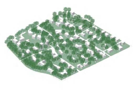
284
2020 2050
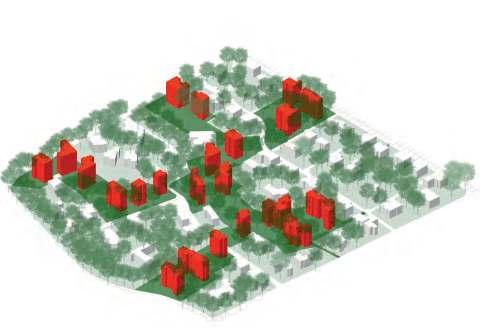
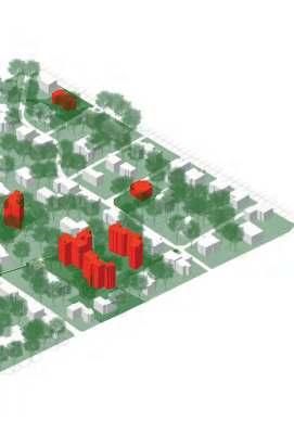
285 21002050
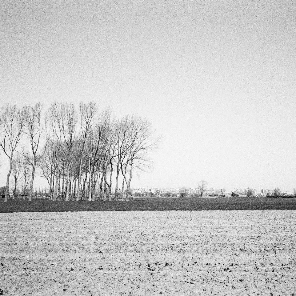 Arthur Stache

287 06 ACKNOWLEDGEMENTS©
POST COVID-19 FOREST & WATER URBANISMS
Belgian Coast, Belgium
Guests
Stijn Vanderheiden, T.OP Kust - departement Omgeving
Bert Van Severen, T.OP Kust - departement Omgeving Hendrik Bloem, ORG Stefanie Dens
Teaching Team
Joris Moonen, KU Leuven/ MIDI Wim Wambecq, KU Leuven/ MIDI Bruno De Meulder, KU Leuven Kelly Shannon, KU Leuven
288
Student Groups
Philippa Lankers
Pebri Try Astuti Gemma Annear Yifan Hu
Xenia Stoumpou Arthur Stache Laetitia Nour Hanna Yang Yu Giulia Devis Bing Du Valerian A. Portokalis
Caroline Thaler Leander Baeke Ying Li Donglin Liu
Carlijne Lelievre Ariane Cantillana Percy Juarez
Booklet Layout & Editing
Khalda Imad Mubarak El Jack
289


290 MASTER OF HUMAN SETTLEMENTS MASTER OF URBAN SM LANDSCAPE AND PLANNING DEPARTMENT OF
ARCHITECTURE


 Arthur Stache


 Arthur Stache


 Arthur Stache


 Arthur Stache
