CITY OF FORT WAYNE

September 15, 2023
• PROJECT AREA
• BACKGROUND AND GOALS
• EXISTING CONDITIONS
• STRATEGIES
• SCHEDULE
• QUESTIONS
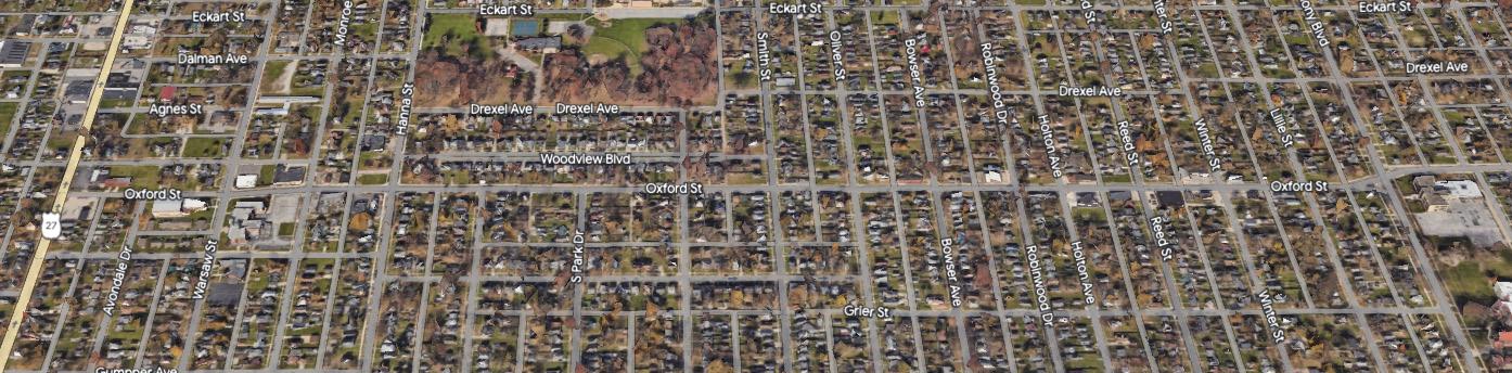
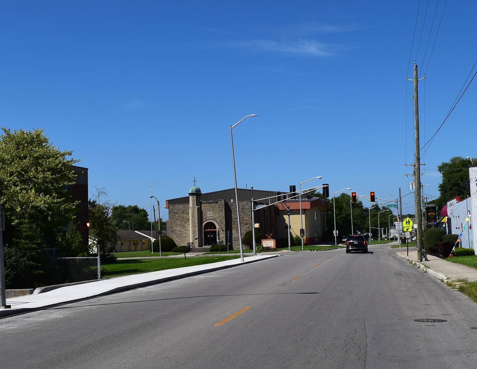
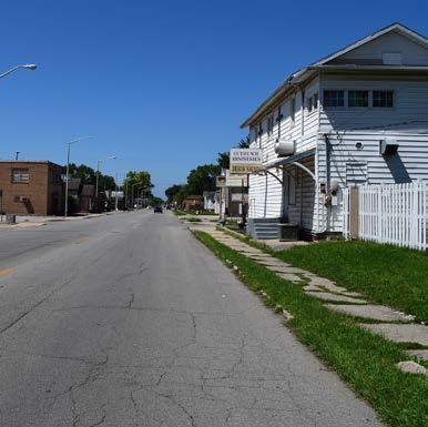
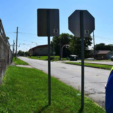
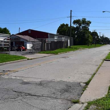
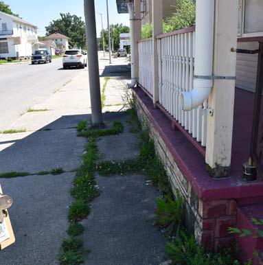
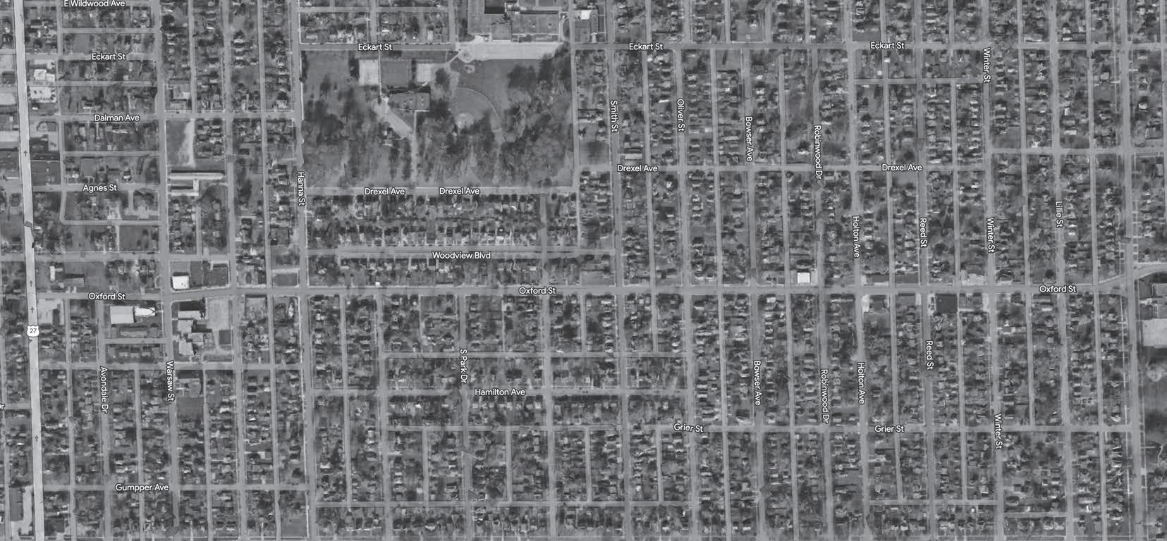
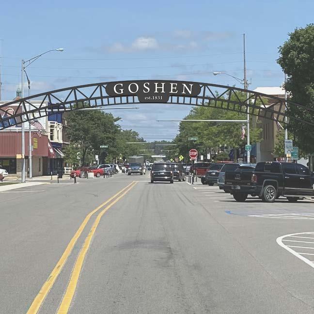
 1 MILE STRETCH OF OXFORD ST. FROM LAFAYETTE ST. TO S. ANTHONY BLVD.
In 2021, the City of Fort Wayne adopted the Southeast Strategy Update; a comprehensive sub-area plan for reinvesting in Fort Wayne’s southeast quadrant of the City. In addition to providing policy recommendations that address housing, infrastructure, economic development, zoning, and community pride, the plan identifies projects and initiatives to enhance four commercial corridors and nodes. One of these neighborhood commercial corridors is Oxford Street. Strategies for enhancing this area include: business assistance and programming resources as well as aesthetic improvements such as landscaping, lighting, public art and pedestrian connections along the corridor and to Weisser Park a block north from the project site.
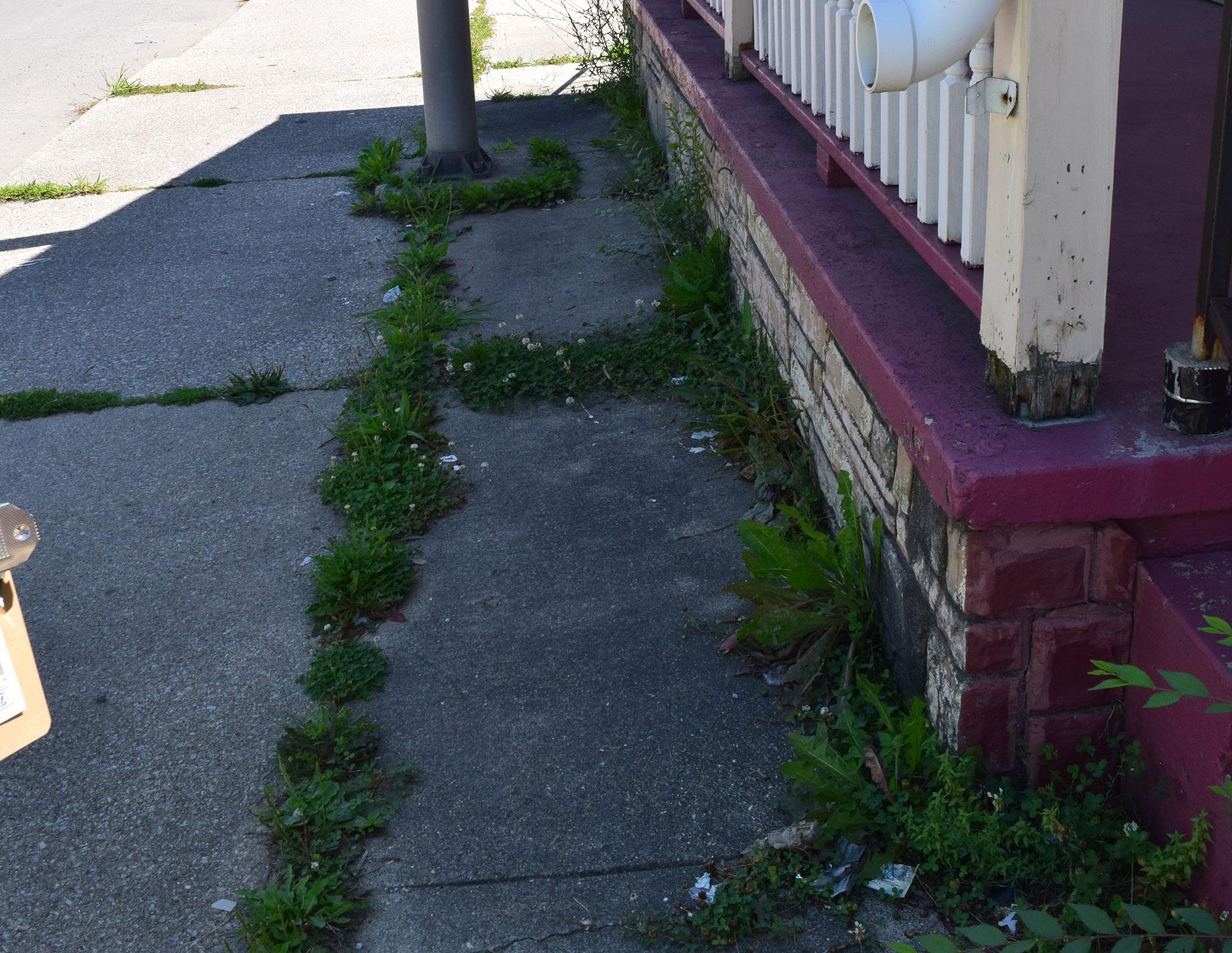
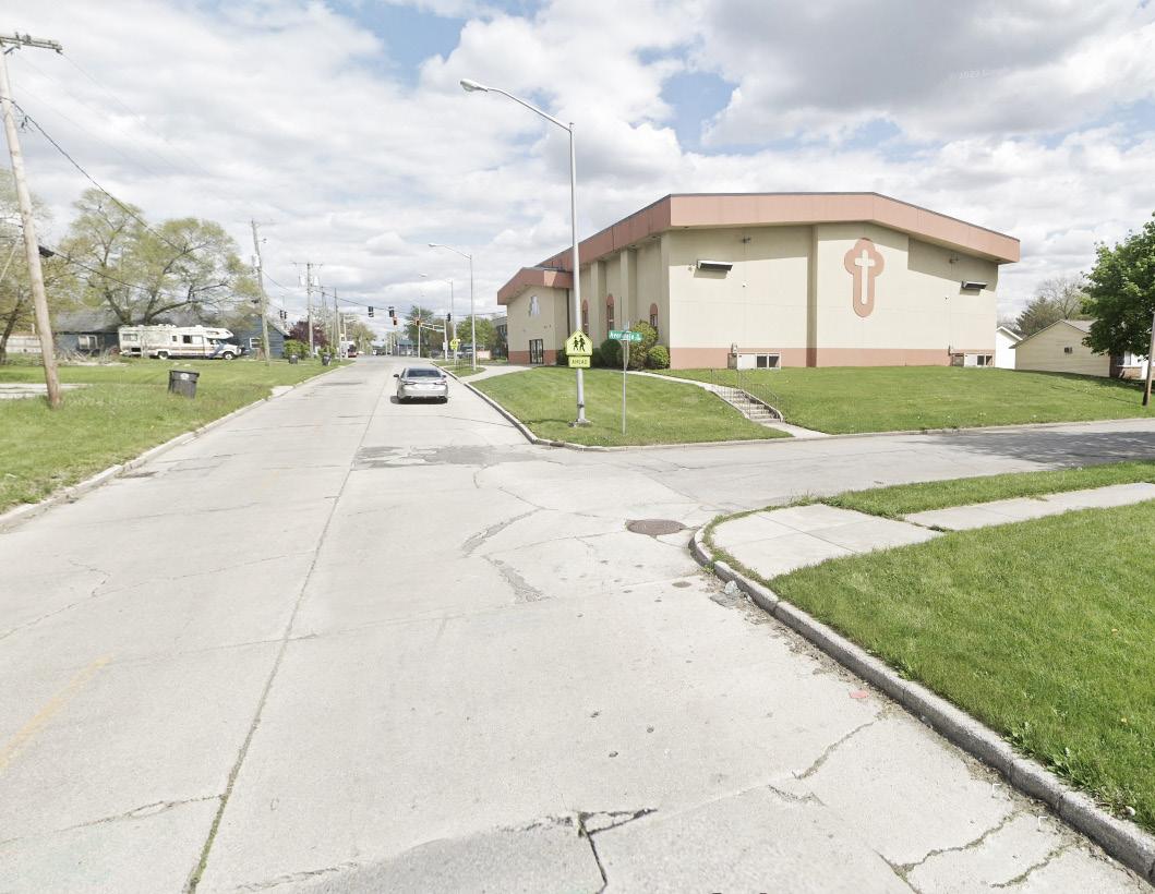
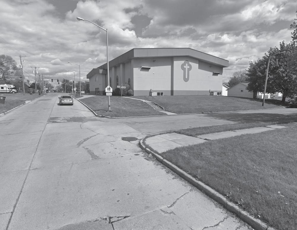
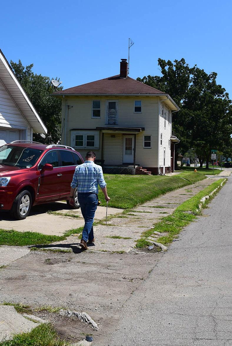
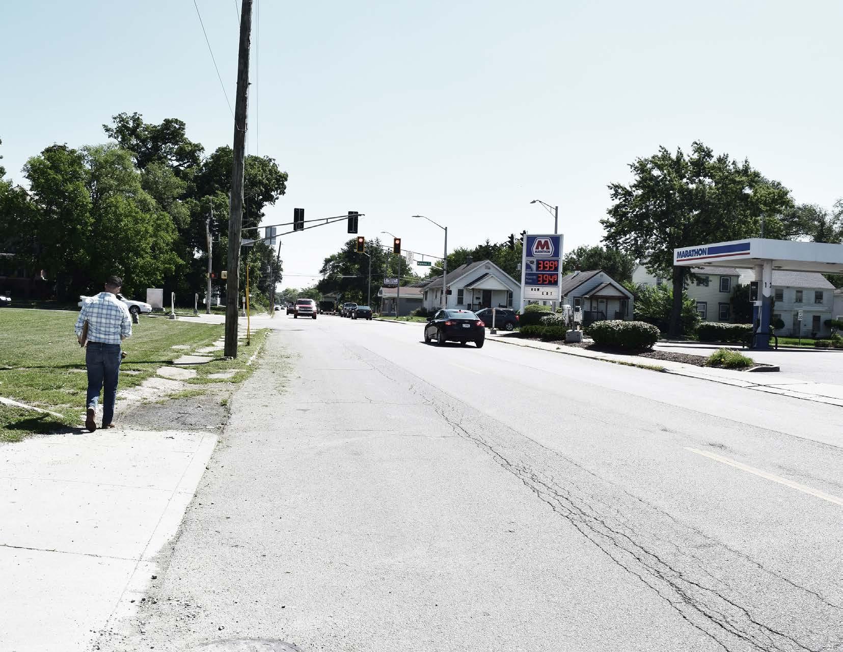
The Oxford Street corridor reflects a mix of commercial and residential uses. While fewer infill opportunities exist along Oxford Street, the street remains very active and has attracted investors interested in redeveloping older buildings for sale or lease for a variety of business purposes. The Oxford Neighborhood Association has an active presence and is engaged with the residents and businesses along Oxford Street. Our team is excited to capitalize on the existing momentum within the area by helping design and improve the roadway and neighboring streetscape. Our objective is to create a pedestrian oriented and friendly environment for the Oxford Street Corridor with the following goals:
IMPLEMENTATION OF TRAFFIC CALMING SOLUTIONS
• NARROW DRIVE LANES
• WIDEN SIDEWALK
• REMOVAL OR ADDITION OF ONSTREET PARKING
• ADDITION OF PARK STRIPS
• ETC.
RECONSTRUCTION OF CURBS AND WALKS TO MEET CURRENT
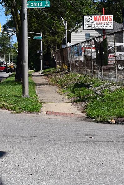
ADA STANDARDS
RECONSTRUCTION OF ALL DETERIORATED DRIVE APPROACHES
GOAL 4
CREATE AN IDENTITY FOR THE OXFORD STREET CORRIDOR
• SPECIFIC PAVEMENT TYPE

• BANNERS
• LIGHTING
• PLANTINGS
• ARTWORK
• GATEWAYS
• ETC.
UPDATE PEDESTRIAN SCALE
STREETLIGHTING
GOAL 6
IMPROVE STORMWATER
DRAINAGE
• RELIEVE DRAINAGE ISSUES NEAR CURB RAMPS

• IMPROVE ROADWAY AND SIDEWALK
DRAINAGE
• INCORPORATE GREEN INFRASTRUCTURE
• ETC.
ZONED RESIDENTIAL ZONED COMMERCIAL
C2 FORT WAYNE
C2 FORT WAYNE
C2 FORT WAYNE
C1 FORT WAYNE
C3 FORT WAYNE
C3 FORT WAYNE
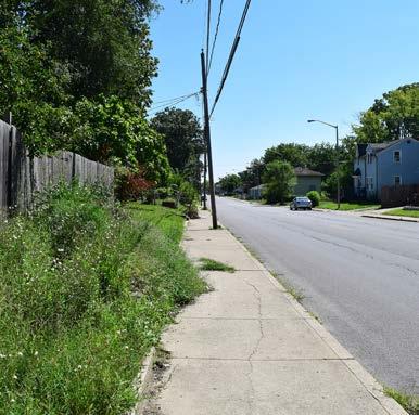
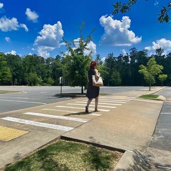
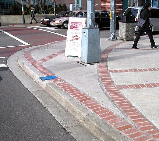
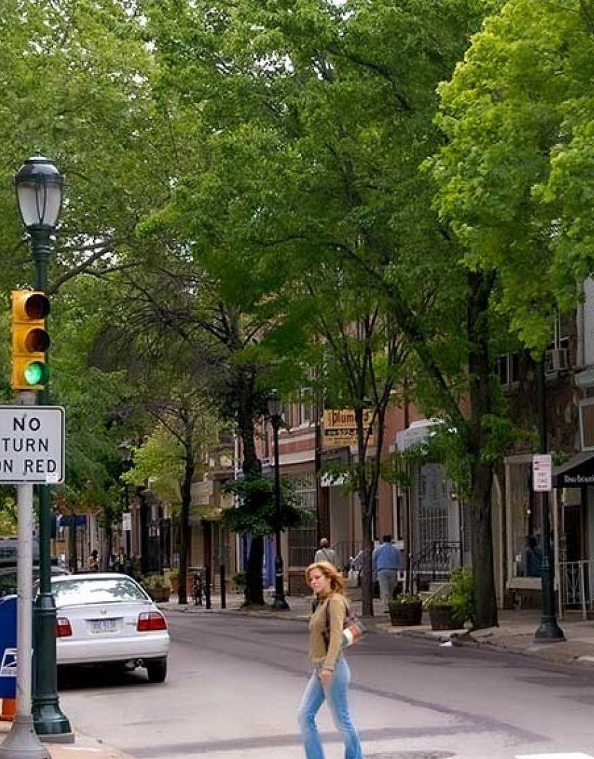
ENHANCING TRAFFIC SAFETY, STREET AESTHETICS, AND PEDESTRIAN SPACES: METHODS AND APPROACHES
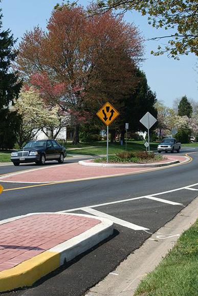
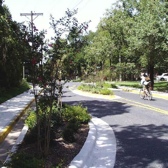
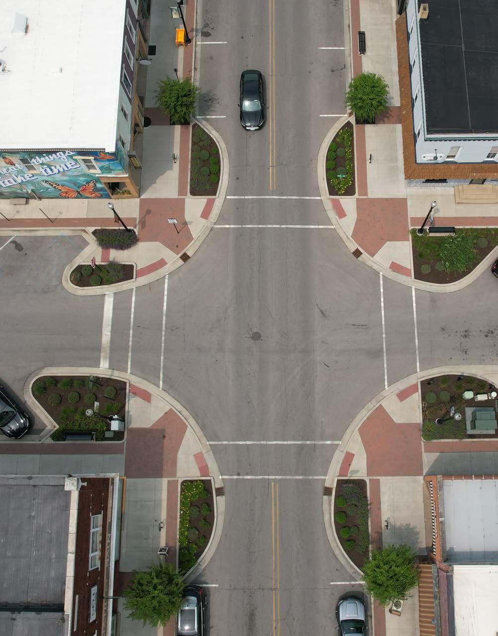
Bump outs are highly successful in streetscapes where parking and green space are both desired. Planned along roadways and at intersections they help signal traffic to pedestrian crossings or increased activity.
Can help aid in improving stormwater management while adding green spaces to a community.
The ecological functions of the curb extensions along with the ability to slow down traffic presents itself as a potential tool.
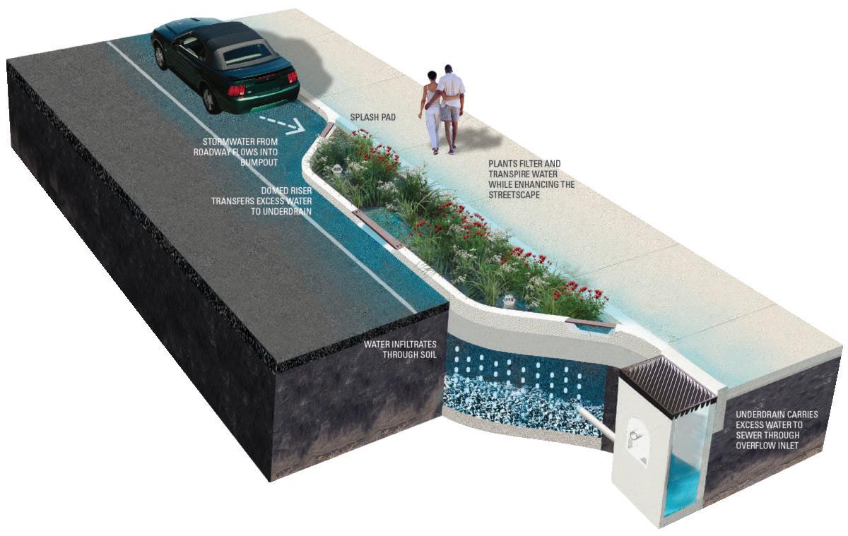
This methodology narrows the roadway at certain points to help slow down traffic. The method offers the opportunity to introduce green space and help improve pedestrian mobility and activity spaces.
This methodology, besides helping to slow down traffic, can also help aid in improving stormwater management while adding green spaces to a community.
Serves as a physical condition in the roadway that alerts drivers to slow down to an oncoming intersection of traffic or pedestrian crossing. Can be decorative to reflect the community as well as adding an additional layer to pedestrian movability.
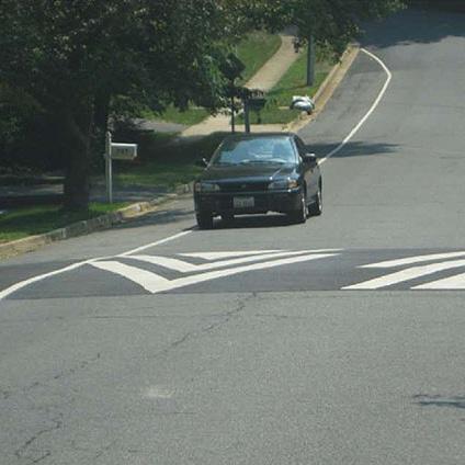
Data collected at 7 speed tables demonstrates that the effect of speed tables on high speed vehicles is dramatic. For the study sites, 27 percent of the pre-implementation traffic had a measured speed that was at least 10 mph higher than the posted speed limit. After installation of a speed table, this high speed traffic had dropped to an average of 3 percent of the total traffic.
This method slows down traffic if not bringing traffic to complete stop prior to turning. Reduced radius corners are friendly to pedestrian traffic as it not only extends the pedestrian space but also provides a higher visual plane for vehicular traffic to see pedestrian traffic and vise versa.
Larger radius results in faster turns and less visibility of pedestrians waiting to cross.
Smaller radius in need for vehicles to slow to enter traffic, as well as improved visibility of pedestrians and on-coming traffic.
Removing the slip lane results in shorter crossings for pedestrians, safer conditions at the intersection, and space for landscaping, seating, or other useable amenities.
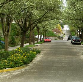
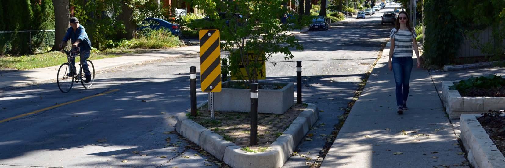
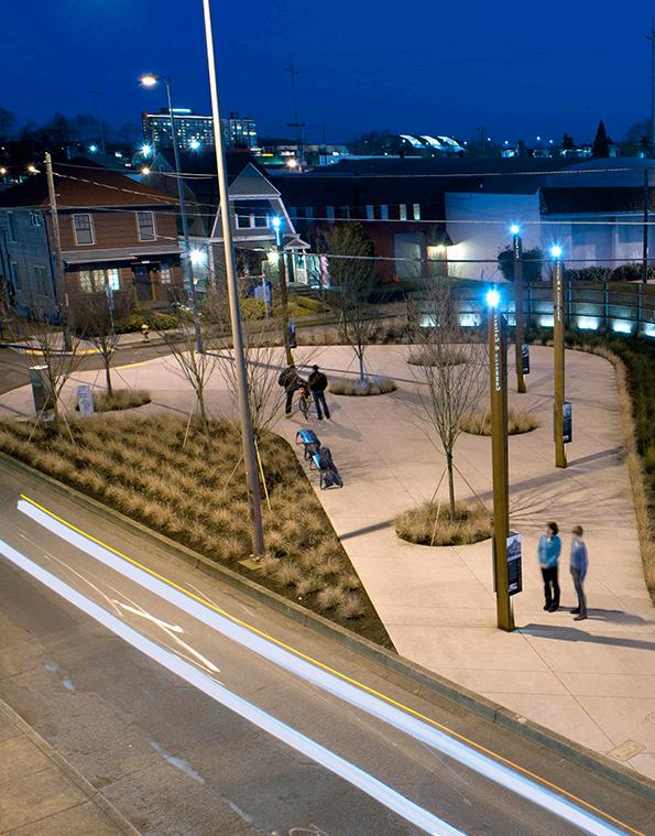
Trees and vegetation not only help to improve the aesthetics and park like quality of the space but can help scale down the street to help slow down vehicular traffic.
5°15°

Trees can help reduce surface temperature by 5-15 degrees. This can promote effective gathering spaces for congregating, which can further activate the streetscape and foster personal interactions.
(Source: Walkable Communities Inc.)
Narrow lanes reduce speeds and minimize crashes on city streets by way of reducing the right-of-way and making drivers wary of traffic and adjacent users. Use the additional space for pedestrian space, cycle facilities, or green infrastructure.
AVERAGE PEDESTRIAN/BIKER FATALITIES AT GIVEN SPEEDS
MPH
30 MPH
40 MPH
It’s surprising to see how a difference of 20 mph reverses the survival rates of people hit by moving vehicles.
These treatments ensure that approaching motorists, bicyclists, and pedestrians can see that an intersection is ahead and that a traffic signal is controlling the traffic flow.
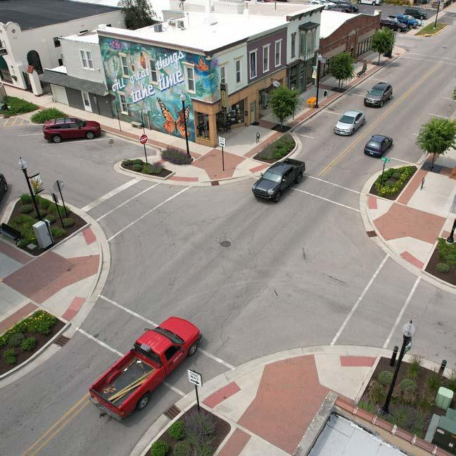
Gateway treatments alert drivers that they are entering a slower area. This treatment may include signage, entry portals, speed tables, raised crossings, and curb extensions.
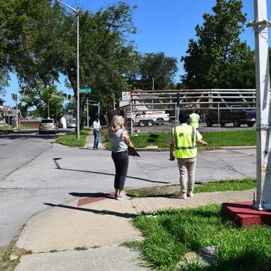
SEPTEMBER 2023
Public Participation Survey: 9/15 - 10/1
NOVEMBER 2023
Presentation of Survey Results
Input Session on Conceptual Designs: Mid-November
CONSTRUCTION PHASES - ANTICIPATED TO BEGIN IN 2025
LEGEND
CITILINK BUS STOPS
EXISTING PEDESTRIAN TRAIL
 LAFAYETTE ST
WEISSER PARK
WEISSER PARK ELEMENTARY
WHITNEY YOUNG EARLY CHILDHOOD
HANNA ST
OLIVER ST
ANTHONY BLVD
PHASE I
JOHN S. IRWIN ELEMENTARY
OXFORD ST
PHASE III
PHASE II
EUELL A. WILSON COMMUNITY CENTER
LAFAYETTE ST
WEISSER PARK
WEISSER PARK ELEMENTARY
WHITNEY YOUNG EARLY CHILDHOOD
HANNA ST
OLIVER ST
ANTHONY BLVD
PHASE I
JOHN S. IRWIN ELEMENTARY
OXFORD ST
PHASE III
PHASE II
EUELL A. WILSON COMMUNITY CENTER