
7 minute read
política y ritual


Ritual And Political Expansion
Landscapes as spaces of power and objects of worship
Advertisement
El espacio geográfico ocupado por los incas abarcó la cordillera de los Andes, desde unos cientos de kilómetros al norte de Quito, la capital ecuatoriana, hasta el río Maipo, en la cuenca de Santiago en Chile y el valle de Uspallata al norte de la provincia de Mendoza en Argentina, cubriendo una longitud aproximada de 5 mil kilómetros de norte a sur. Este inmenso territorio estaba concebido y dividido, de acuerdo a un patrón tradicional andino de organización espacial, en cuatro grandes regiones o suyus, conformando el Tawantinsuyu (las cuatro partes), con su centro y capital en el Cusco. Cada una de estas regiones, de una gran diversidad geográfica y ecológica, abarcaba territorios distantes incorporando poblaciones de características culturales a veces muy diferentes.
Al noroeste del Cusco se ubicaba el Chinchaysuyu que incluía la costa y sierra del norte del Perú y el Ecuador. El Antisuyu se extendía hacia el noreste alcanzando las laderas orientales de los Andes y las altas cuencas del río Amazonas. El Cuntisuyu se encontraba hacia el sur y sudoeste del Cusco abarcando la costa centro sur peruana y Arequipa. Finalmente, el territorio del sudeste, que comprendía el lago Titicaca, la mayor parte de la actual
The geographical area occupied by the Incas took in the Andes Mountains, from a few hundred kilometers north of the present-day city of Quito, capital of Ecuador, southwards to the banks of the Maipo River, in the valley that holds the Chilean capital Santiago, and over to the Uspallata Valley in northern Mendoza Province in Argentina, stretching close to five thousand kilometers in total. This vast territory was divided up according to a traditional Andean pattern into four great regions or suyus, which together make Tawantinsuyu (“the four parts”), with the center and capital in Cusco. Each of these geographically and ecologically diverse regions stretched to include remote territories, which sometimes led to the inclusion of populations with very different cultural attributes into the Inca Empire.
To the northwest of Cusco was Chinchaysuyu, which covered the coasts and mountains of Northern Peru and Ecuador. Antisuyu extended northeast, reaching the eastern slopes of the Andes and the headwaters of the Amazon River. Cuntisuyu was located to the south and southwest of Cusco, taking in the central southern coast of Peru and Arequipa. Finally, the territory to the southeast, including Lake Titicaca, most of modern day Bolivia,
Bolivia, el noroeste argentino y el norte y centro de Chile, correspondía al Collasuyu
El espacio habitado y la sacralización del paisaje eran referentes fundamentales en la percepción del entorno geográfico de las etnias andinas en general y de los incas en particular. La sorprendente variedad de accidentes topográficos fue transformada semiótica y culturalmente en deidades y mitos, que sirvieron para organizar y unificar aquellos lugares cada vez más distantes y distintos del Cusco.
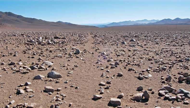
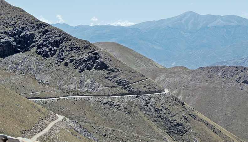
Los incas extendieron sus fronteras a lo largo de la cordillera de los Andes, llegando a conformar un espacio de poder que incorporó a millones de personas de diferentes grupos étnicos y lingüísticos bajo un dominio político común. Esta nueva dimensión espacial y territorial se fue inscribiendo en el paisaje a través de dispositivos simbólicos que sustentaban el nuevo orden social, redibujando un espacio que hasta entonces había estado disgregado.
El espacio geográfico no es neutro; por el contrario, está plasmado de significaciones otorgadas por las sociedades y culturas que lo habitan. El espacio que frecuentan los seres humanos no está limitado al espectro de la observación, sino que suele estar acompañado de modelos idealizados con encantos y virtudes superiores al entorno familiar. Surgen entonces, por ejemplo, los mundos perfectos, libres de males y manchas; o los paraísos perdidos, la utopía y la tierra sin mal; también la edad de oro y otras idealizaciones temporales y espaciales.
En este sentido y quizás con el objeto de legitimar la conquista, los incas sacralizaron los espacios, creando un orden simbólico en el paisaje, otorgando a los elementos de la naturaleza y de la
Northwest Argentina, and North and Central Chile, was the region of Collasuyu
Inhabited spaces and the integration of the landscape with religious beliefs were central to how Andean peoples—and particularly the Inca— perceived the geographical environment. They transformed the surprisingly varied topography of the area semiotically and culturally in order to organize and unify territories that were ever more distant and different from Cusco.
The Incas extended their frontiers along the Andes Mountains, building a space of power that incorporated millions of people from different ethnic and linguistic groups into a single political dominion. This new spatial and territorial dimension was inscribed onto the landscape as symbols, reinforcing the new social order and delineating a space that had never before been unified.
Geographical space is not neutral; it is instilled with meaning by the societies and cultures that inhabit it. The space in which humans live is not limited to what the eye can see, but is often accompanied by frameworks with attractions and virtues that enhance the familiar surroundings. Thus emerge perfect worlds, free of the evils and blemishes of everyday reality; lost paradises, utopias and lands that are without sin; the golden age and other idealizations of time and space.
In the same way, perhaps as a way of legitimizing their conquest, the Incas invested certain spaces with sacred meaning, endowing the landscape with symbolic order and bestowing a particular topografía, como las montañas, ríos, manantiales, lagos, quebradas o pampas, una relevancia y una identidad particular. Esta creación social del espacio es una constante en las diferentes culturas, quienes crean una y otra vez el “centro del mundo”, reproduciendo esta imagen de mundo ideal en diferentes escalas y lugares.
La expansión territorial incaica y su consolidación en tan breve espacio de tiempo, que abarcó menos de un siglo, fue posible, entre otras cosas, gracias a la flexibilidad de las estrategias de dominación empleadas en cada lugar, y a la consecuente adopción o apropiación de los lugares sagrados de las poblaciones incorporadas al Tawantinsuyu identity and meaning upon natural and geographic features such as mountains, rivers, springs, lakes, streams, and plateaus. This social creation of space is observed in many different cultures that create and recreate the “centre of the world“, reproducing the image of an ideal world on different scales and in different places.
Cuando los incas ocuparon el territorio de los collas o aymaras en la región del Titicaca, adoptaron su historia como propia y modificaron el espacio combinando las concepciones religiosas de ambos pueblos. Asimismo el Cusco, más allá de su condición de ciudad central o sede del poder político, fue el centro del cosmos incaico, la zona sagrada por excelencia, la residencia de las wakas o lugares sacralizados de todo el Tawantinsuyu. Por ello, se preocuparon de reproducir en el vasto territorio y a menor escala, los lugares sagrados de la metrópoli, repitiendo en ellos los elementos básicos de la arquitectura y la disposición espacial de su capital.
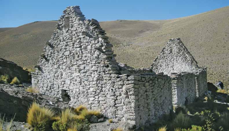
Gran cantidad de signos, íconos, símbolos, se instituyeron en el paisaje con la finalidad de transmitir el mensaje de una unidad geopolítica, modelada en una serie de formas de ocupación espacial y arquitectónica: kallankas, hornacinas, columnas, apachetas, adoratorios de altura, morfologías estandarizadas de vasijas, textiles, ofrendas y ceremonias, entre otras materialidades que trascienden al lenguaje escrito y se vinculan con la oralidad.
The Inca’s rapid expansion and consolidation of their territory, which took less than a century, was enabled in part by the flexible strategies of domination they used in different places. These included adopting or appropriating the sacred spaces of the peoples they incorporated into Tawantinsuyu
When the Incas occupied the territory of the Collas or Aymaras in the Titicaca region, they adopted these peoples’ history as their own, modifying the physical space and blending the religious ideas of both groups. Cusco itself was not only the Empire’s capital city and seat of political power, but was also the centre of the Inca cosmos, the most sacred zone, the home of the wakas or revered places of all Tawantinsuyu. The Incas therefore took pains across their vast territory to reproduce, on a smaller scale, the sacred places of this metropolis. Reiterated the basic architecture and spatial layout of the Inca capital.
Countless signs, icons, and symbols were embedded in the landscape in order to broadcast the message of a unified geopolitical. These were expressed in their architecture and the other forms of occupying space: thus, the Incas used kallankas (large rectangular structures), niches, columns, cairns, high altitude shrines, standardized ceramic vessels, textiles, offerings, ceremonies, and many other material forms to transcend written language and forge a link with oral tradition.
Los habitantes de los lugares más distantes del Tawantinsuyu como pueden ser los actuales valles de Santiago, Mendoza o de Pasto, en Colombia, empezaron a recibir noticias de personas y lugares desconocidos, a ver circular productos exóticos o incorporar nuevas fiestas, rituales, ceremonias y lenguas nunca antes escuchadas. El nuevo orden político incaico generó un mundo convulsionado de permanentes cambios, donde una nueva dinámica social y espacial dejó sus huellas en el paisaje y en la memoria colectiva.
Under Inca rule, the inhabitants of the farthest reaches of Tawantinsuyu, in the valleys of what are now central Chile, Mendoza (Argentina), and Pasto (Colombia), began to receive news about unknown places and personages, to see exotic products for the first time, and to experience new festivals, rituals, ceremonies, and languages that had never been heard before. The new Inca political order produced a world convulsed with constant change, a new social and spatial dynamic that left its imprint on the landscape and on the collective memory of those inhabiting it.

Un panorama sumamente complejo y difícil de imaginar simultáneamente en los Andes, donde los incas intentaron inscribir una imagen refleja de sí mismos, ejerciendo el poder de múltiples formas, manipulando el espacio y la narrativa del paisaje a través de rituales como las ofrendas en las montañas (capacocha), controlando a las diversas comunidades y legitimando sus actos mediante reconstrucciones arquitectónicas y reconfiguraciones espaciales.
The result across the Andes was an extremely complex panorama almost beyond imagining, in which the Incas tried to create a mirror image of themselves by exercising power in multiple ways, manipulating the space and the narrative of the landscape through rituals such as mountain offerings (Capacocha), controlling a diverse array of communities, and legitimizing their actions by reproducing architectural forms and reconfiguring spaces.


