EXHIBIT W Wildlife Study
APPLICATION TO THE OHIO POWER SITING BOARD FOR A
CERTIFICATE OF ENVIRONMENTAL COMPATIBILITY AND PUBLIC NEED FOR THE
GRANGE SOLAR GRAZING CENTER
Case No. 24-0801-EL -BGN


APPLICATION TO THE OHIO POWER SITING BOARD FOR A
CERTIFICATE OF ENVIRONMENTAL COMPATIBILITY AND PUBLIC NEED FOR THE
Case No. 24-0801-EL -BGN

Grange Solar Grazing Center
Logan County, Ohio
Prepared for:
Grange Solar, LLC
315 E Main Street
Russells Point, Ohio 43348
Prepared by:
Verdantas
6397 Emerald Pkwy, Suite 200 Dublin, Ohio 43016
262-707-9092
Verdantas Project No: 15770
September 2024

This page intentionally left blank.

Tables (In-Text)
Table 1
Table 2
Table 3
MRLC NLCD Land Cover Types within the Literature Survey Study Area
NRCS SSURGO Soil Map Units within the Literature Survey Study Area
NWI-Mapped Features within the Literature Survey Study Area
Table 4 Field-Verified Land Cover Types within the Ecological Study Area
Figures
Figure 1 Site Location Map
Figure 2
Figure 3
National Land Cover Database Map
NRCS SSURGO Dataset Map
Figure 4 Desktop Environmental Conditions Map
Figure 5 FEMA 100-Year Floodplain Map
Figure 6 ODNR – Potential Sub-Surface Opening Survey Map
Figure 7 ODNR Wildlife Resources Map
Figure 8 Wildlife Habitat Map
Appendices
Appendix A USFWS IPaC
Appendix B State-Listed Animal and Plant Species Lists for Logan County
Appendix C Agency Correspondence with USFWS
Appendix D Agency Correspondence with ODNR
Appendix E Representative Photographs
Appendix F Comprehensive List of Wildlife Encountered during Field Surveys
Appendix G Summary of Special Status Species with the Potential to Occur in the Vicinity of the Study Area

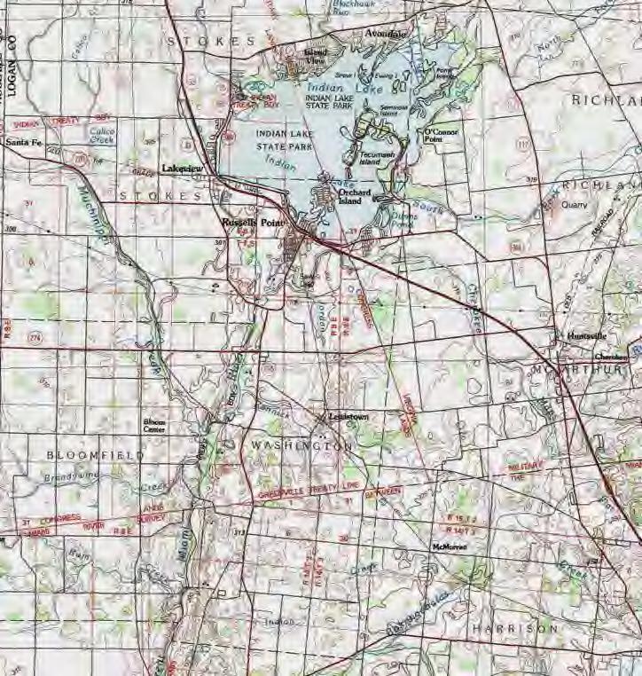
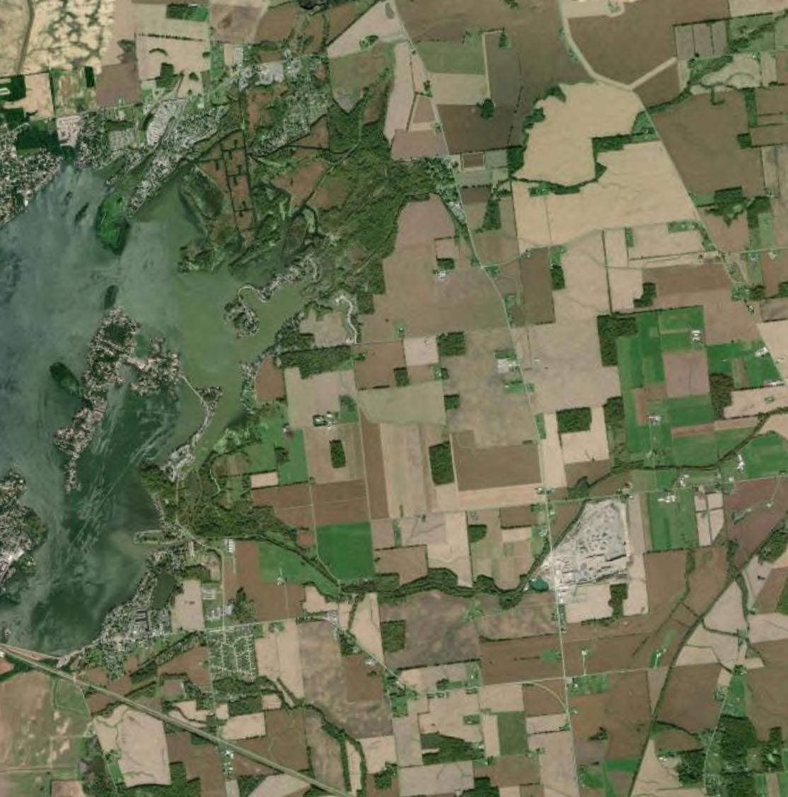
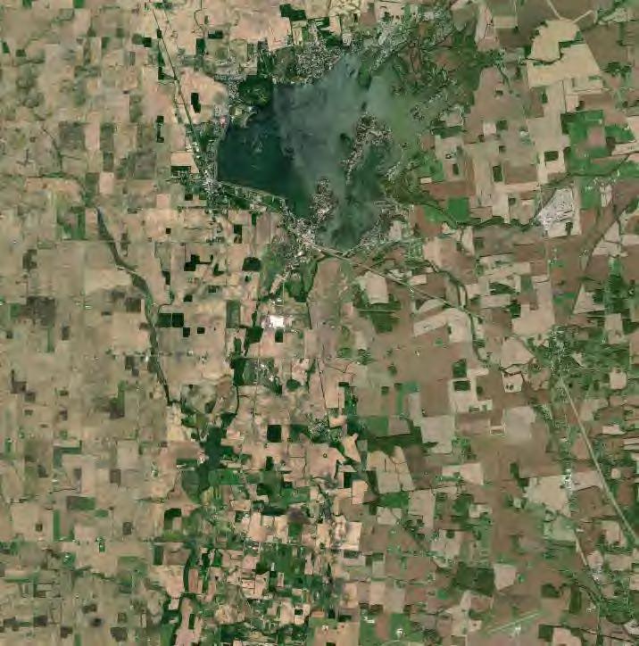
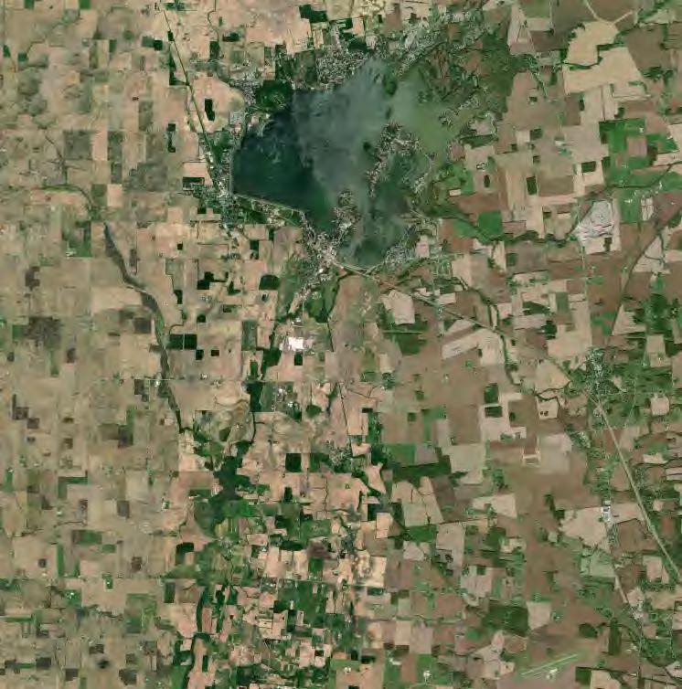
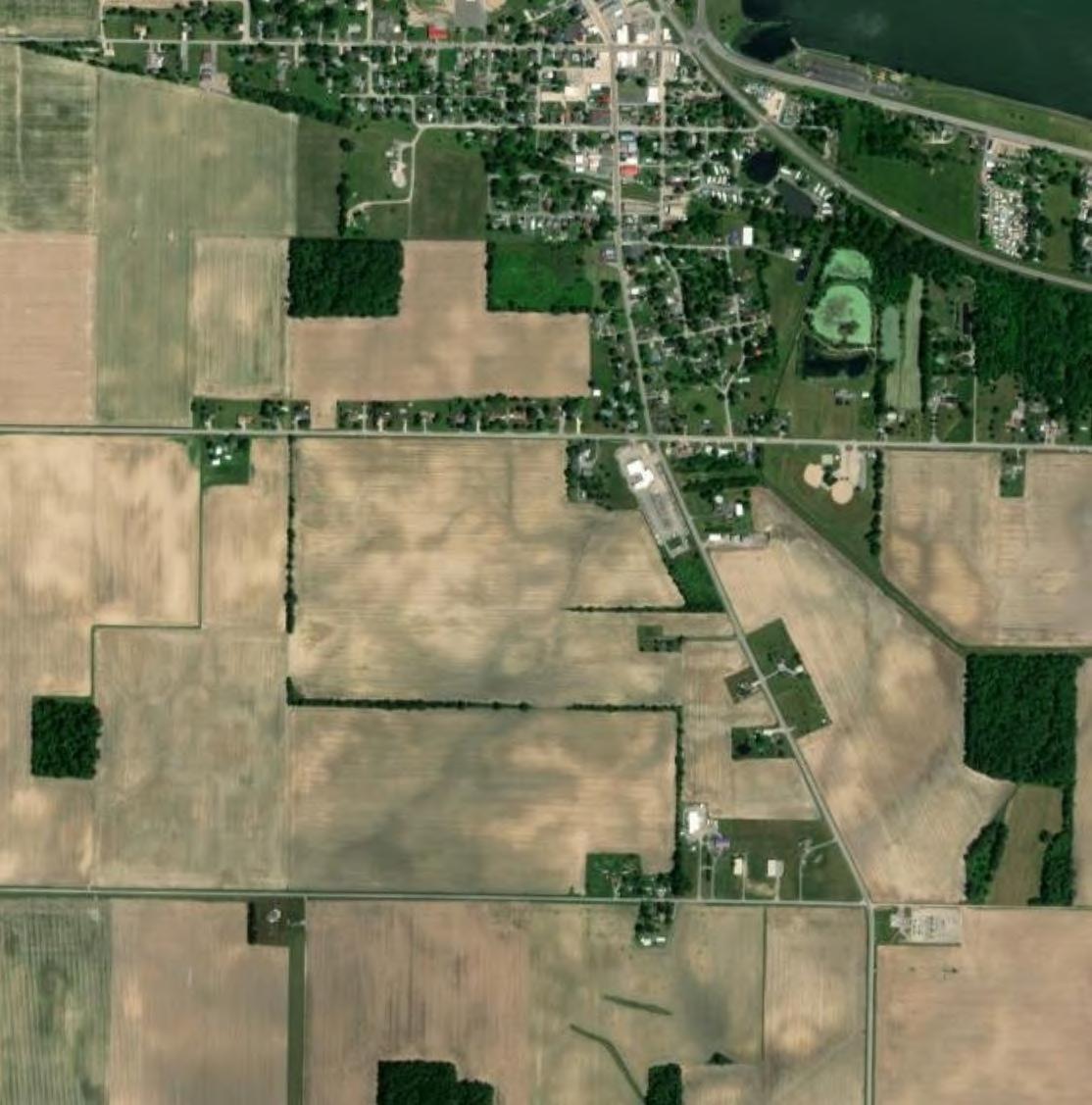
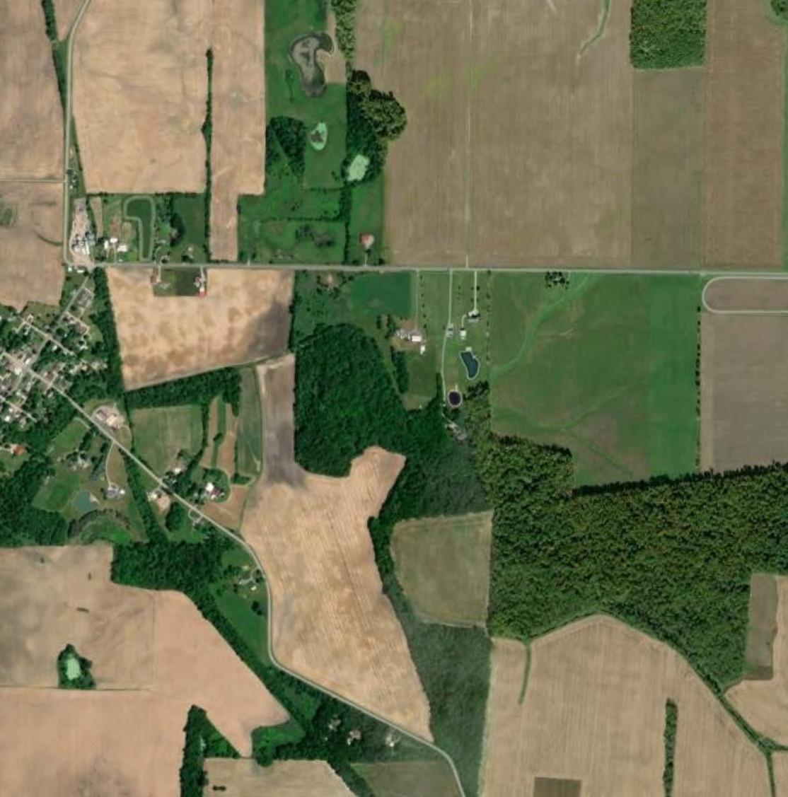
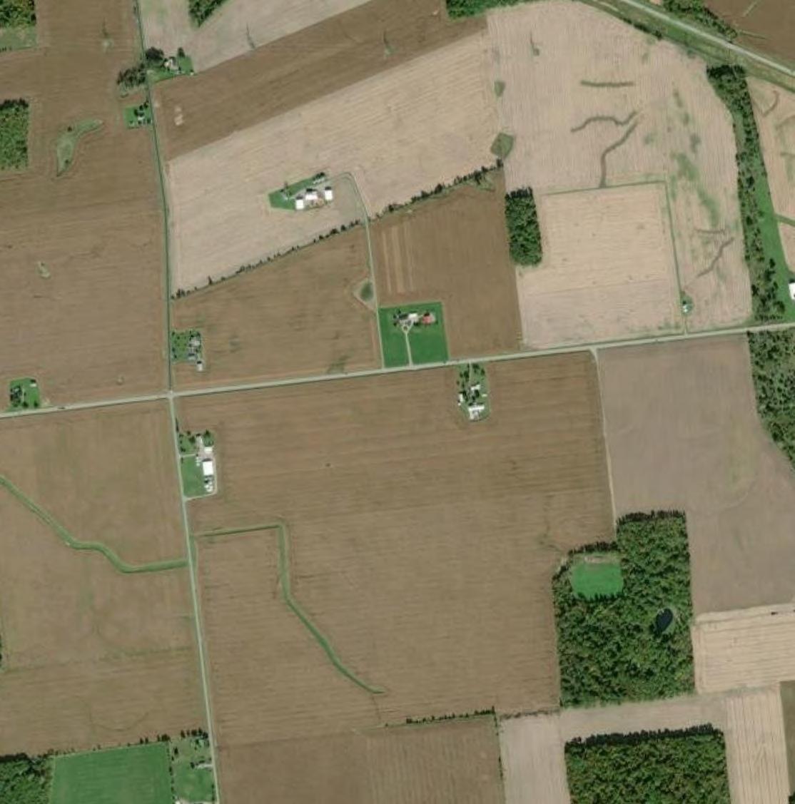
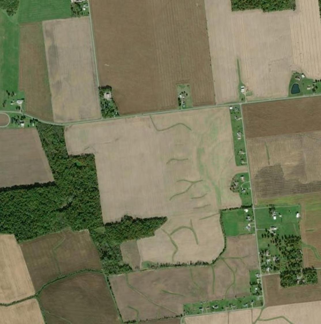
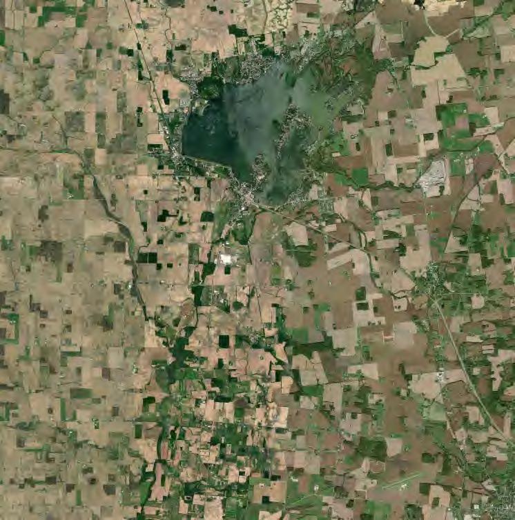
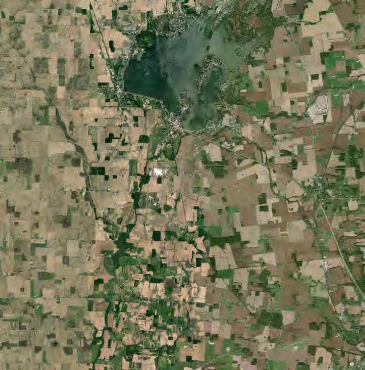
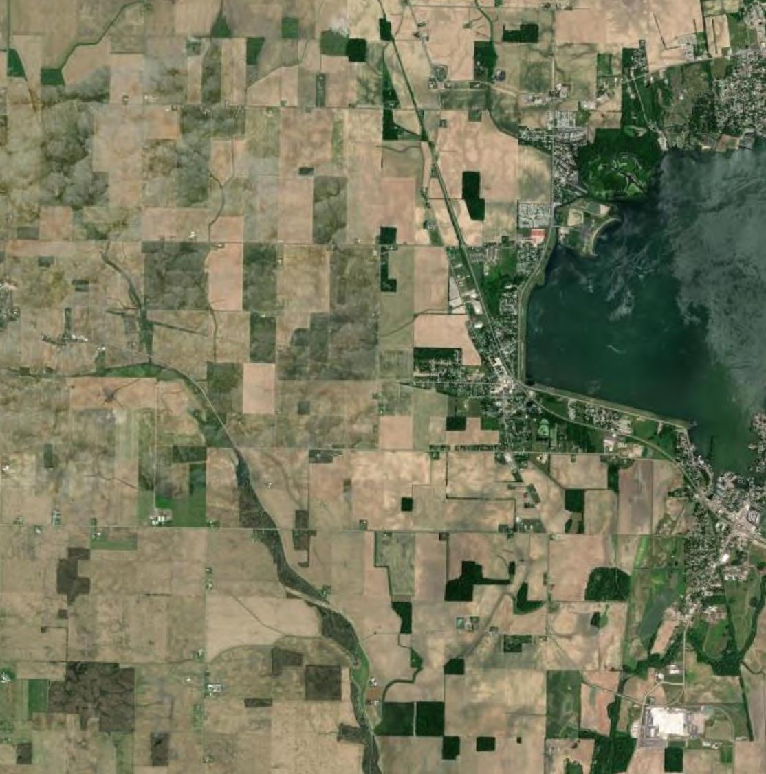
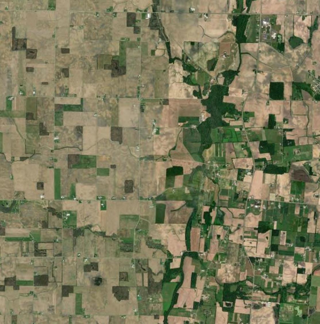
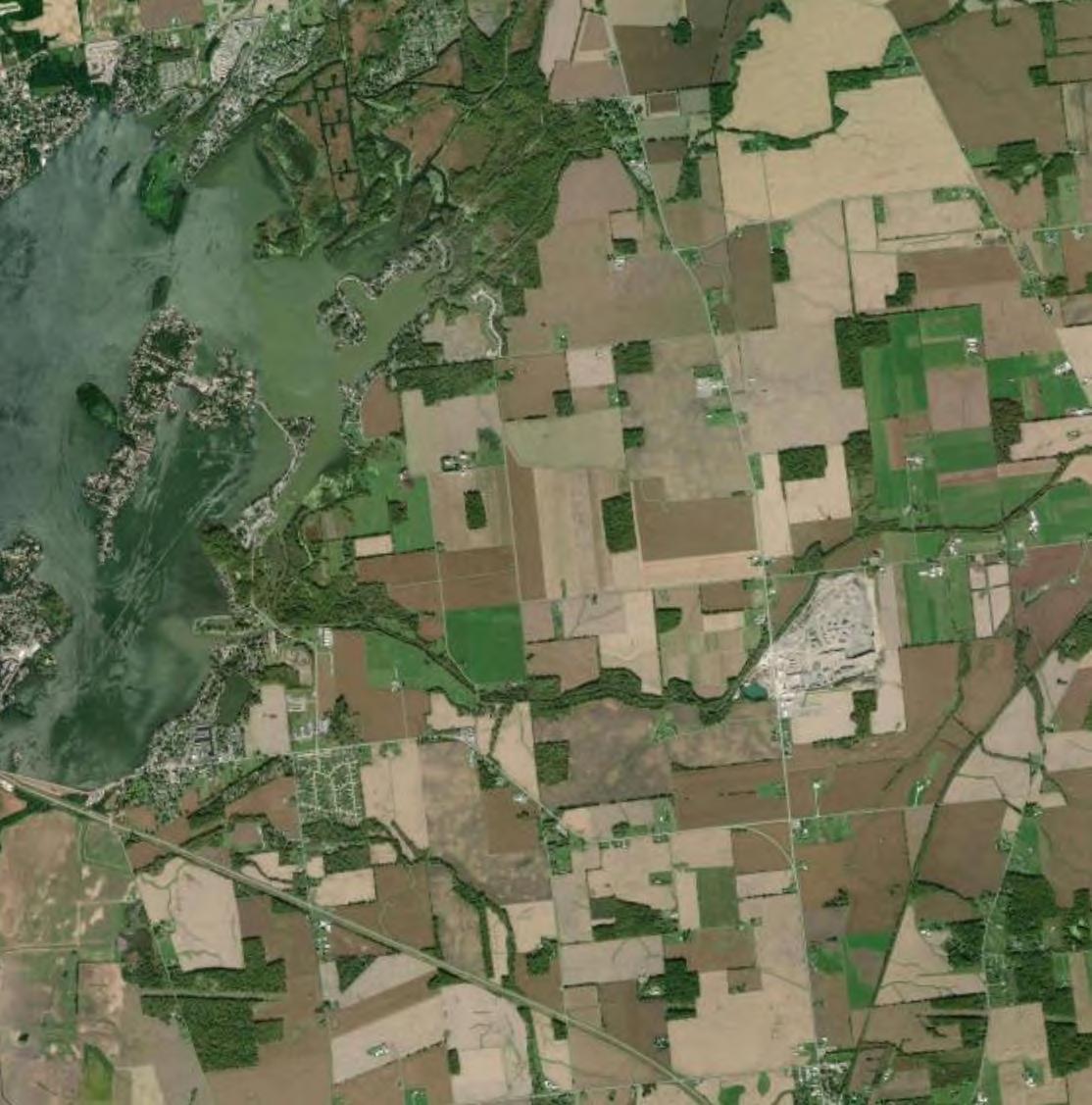
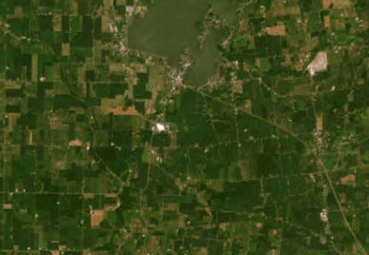
This Wildlife Assessment has been prepared for the Grange Solar Grazing Center. The Grange Solar Grazing Center is a combined utility-scale solar energy facility and sheep grazing operation being developed in Logan County, Ohio (hereafter referred to as the “Project” or the “Facility”). The Project will use rows of ground-mounted solar panels to supply wholesale power to the existing electric grid while also providing pasture for livestock. All of the Project’s above-ground structures will sit within vegetated fields enclosed within agricultural-style fences, which also will confine the livestock and protect them from predators. The Project’s above-ground infrastructure will be located within about 2,600 acres of an area totaling approximately 4,100 acres (hereafter referred to as the “Study Area”). The Project is located south of Russells Point, southwest of Indian Lake, in Logan County, Ohio (Figures 1 and 2).
Verdantas LLC (Verdantas) was contracted by Grange Solar, LLC (Grange Solar) to determine the location and extent of suitable habitat for species within the Study Area that may be subject to regulation under the Endangered Species Act (ESA); the Migratory Bird Treaty Act (MBTA); the Bald and Golden Eagle Protection Act (BGEPA); and Ohio Revised Code (ORC), Chapters 1518 and 1531.25. This report also is intended to provide the information required by Section 4906-408(B)(1)(d) and (e) of the Ohio Administrative Code, which call for the following:
(d) The results of a literature survey of the plant and animal life within at least one-fourth mile of the project area boundary which includes aquatic and terrestrial plant and animal species that are of commercial or recreational value, or species designated as endangered or threatened.
(e) The results of field surveys conducted as to the plant and animal species identified in the literature survey, including their federal and state protection status; and a description of the probable impact of the construction, operation, and maintenance of the proposed facility on the species described in this rule and procedures to minimize such impacts, including impacts from route clearing and any impact to natural nesting areas.
In addition, the report is intended to provide information relevant to Section 4906-4-09(D)(1), which provides the following:
The applicant shall coordinate with the United States fish and wildlife service, the Ohio department of natural resources division of wildlife, and board staff to determine if any actions are necessary to avoid impacts to federal or state listed and protected species or other species which may be impacted. The applicant shall provide coordination letters received from the United States fish and wildlife service and the Ohio department of natural resources division of wildlife. If the United States fish and wildlife service, the Ohio department of natural resources division of wildlife, or board staff identify any recommendations for the avoidance of impacts to specific species, the applicant shall describe how it shall address all recommendations.

Verdantas conducted a literature survey to assess the types of plant and animal life that may occur within 0.25 mile of the Study Area boundary (the Study Area with a 0.25-mile buffer applied is hereafter referred to as the “Literature Survey Study Area”). In total, the Literature Survey Study Area is comprised of 11,090.5 acres.
The literature survey particularly focused on special status species. The term “special status species” refers to species designated as endangered and threatened at the Federal and/or State level, and species protected under the MBTA and BGEPA.
The following publicly available data sources were reviewed to help determine the types, locations, and extents of potential habitats within the Literature Survey Study Area:
▶ Current and historic aerial imagery;
▶ Multi-Resolution Land Characteristics Consortium (MRLC) National Land Cover Database (NLCD; NLCD, 2021);
▶ United States Geological Survey (USGS) 7.5-minute Topographic Quadrangles for Huntsville and Russells Point, Ohio (USGS, 1960; USGS, 1961);
▶ U.S. Fish and Wildlife Service (USFWS) National Wetlands Inventory (NWI; USFWS, 2024);
▶ USGS 3D Hydrography Program (3DHP; USGS, 2024);
▶ Federal Emergency Management Agency (FEMA) National Flood Hazard Layer (NFHL, 2024);
▶ United States Department of Agriculture (USDA) Natural Resources Conservation Service (NRCS) Soil Survey Geographic Database (SSURGO; NRCS, 2024);
▶ USFWS Information for Planning and Consultation (IPaC) tool (USFWS, 2024);
▶ Ohio Department of Natural Resources (ODNR) State Listed Animal Species for Logan County (ODNR, 2023);
▶ ODNR State Listed Plant Species for Logan County (ODNR, 2023);
▶ ODNR Physiographic Regions of Ohio (ODNR, 1998);
▶ ODNR Freshwater Mussels of Ohio Field Guide (ODNR, 2022);
▶ ODNR Hunting Resources by Species (ODNR, 2024);
▶ ODNR Ohio Division of Wildlife and U.S. Fish and Wildlife Service (OH-Field Office) Joint Guidance for Bat Surveys and Tree Clearing (ODNR, 2023);
▶ National Audubon Society Important Bird Areas (IBAs) (NAS, 2024); and,
▶ eBird database (eBird, 2024).
Using the results of the literature survey, Verdantas ecologists performed field surveys to confirm the types, locations, and extents of potential suitable habitats for special status species. Habitats were delineated using a combination of aerial imagery and field reconnaissance. All wildlife and signs of wildlife encountered during the field surveys were documented and recorded. Representative photographs were taken of the habitat types

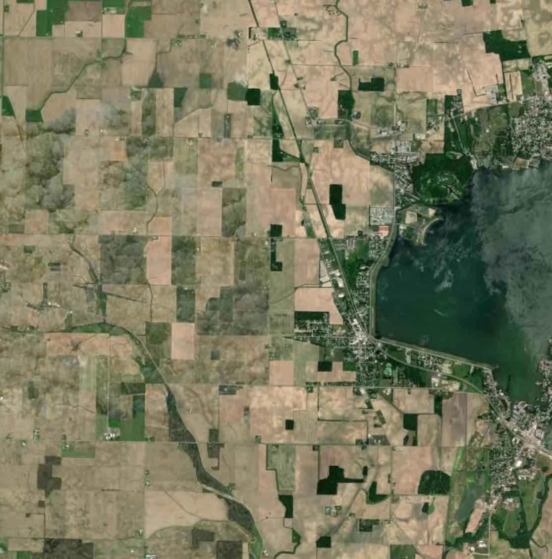
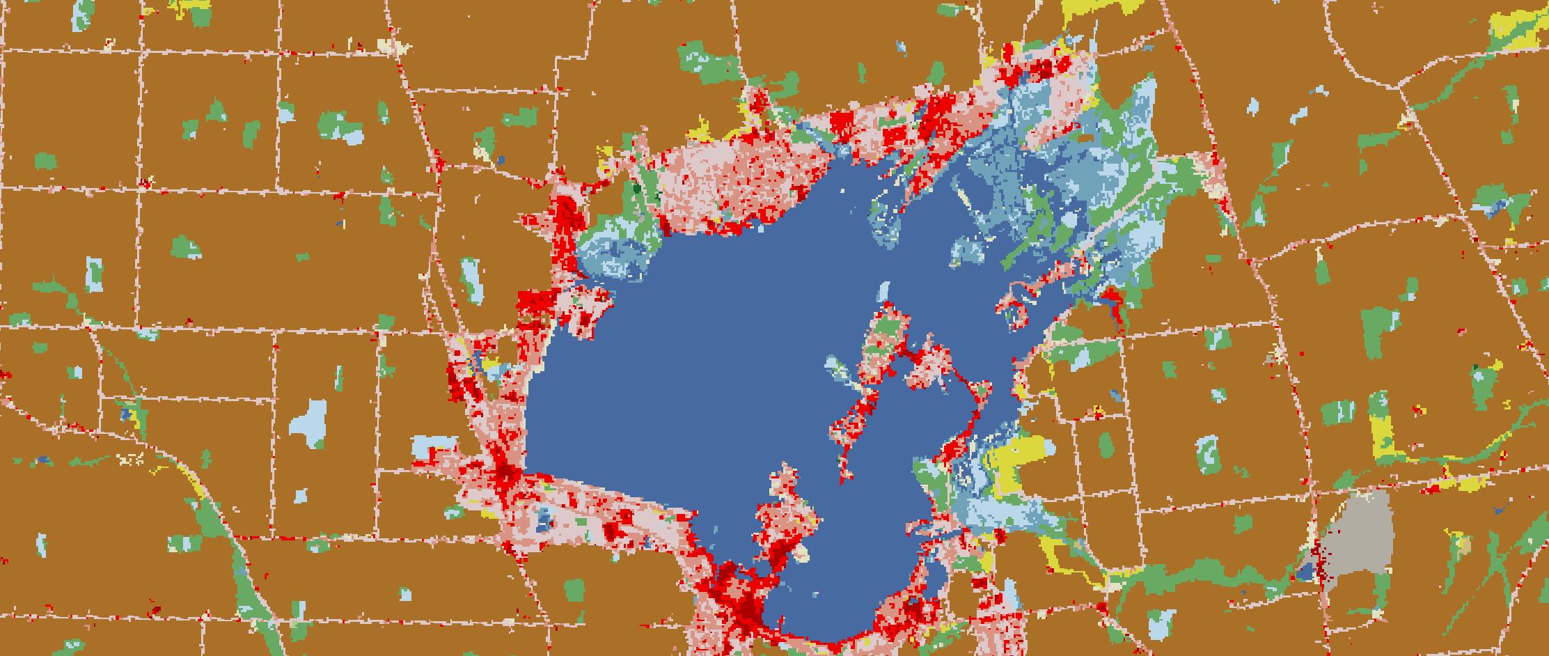
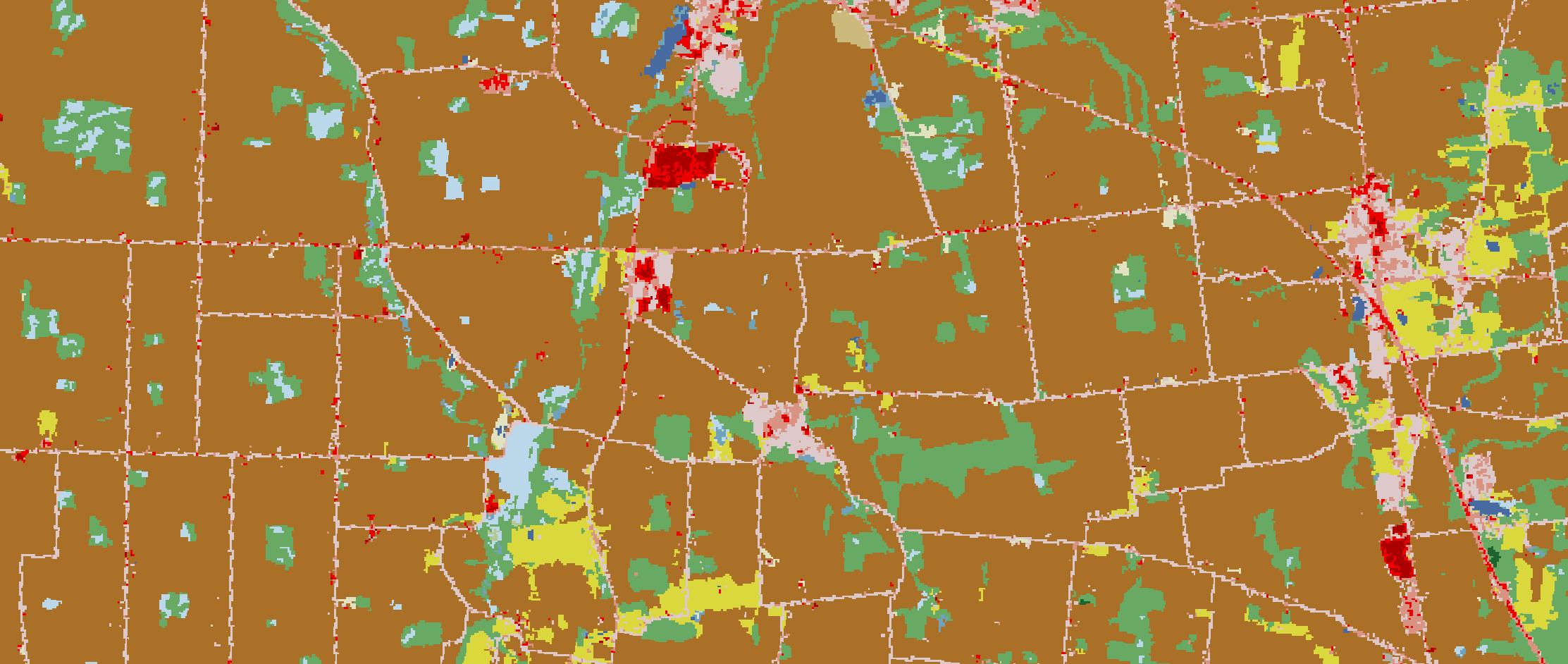
Current and historic aerial imagery indicates that the primary land use within the region is agricultural. The NLCD confirms the dominant land cover within the Literature Survey Study Area is cultivated crops. The other most common land covers are deciduous forest and developed open space (Table 1). This is consistent with the surrounding landscape (Figure 2).
Table 1 MRLC NLCD Land Cover Types within the Literature Survey Study Area
According to the NLCD, cultivated crops comprise approximately 81 percent of the Literature Survey Study Area. Cropland typically provides minimal habitat for wildlife due to the practice of monoculture, the frequent use of pesticides and herbicides, seasonal disturbances associated with planting and harvest, and habitat fragmentation. The transition of cropland to a solar energy facility with integrated sheep grazing will have minimal impacts to wildlife. The Project is expected to remain in agricultural use throughout its life; however, land use will transition from cultivated cropland into pasture for raising flocks of sheep. Where feasible, the Project is expected to incorporate native flowering forb species into landscape screening areas outside of

the fence line to support pollinators. These areas will provide some nesting and foraging habitat for insects and birds.
Pastureland may provide habitat to species that were previously using the agricultural fields. Increased ground cover; decreased seasonal disturbances; as well as decreased frequency of application and amounts of pesticides, herbicides, and fertilizers should slightly increase habitat quality compared to cropland. These factors might also increase water quality in nearby surface waters by stabilizing the soil and reducing nutrient and pesticide/herbicide run-off. This could result in improved habitat quality for aquatic species.
Grange Solar is planning to implement a vegetation management plan (VMP) to maintain the vegetation after construction. The plan includes best management practices (BMPs) for vegetation clearing, protection, installation, establishment, and short- and long-term maintenance. The VMP includes provisions for targeted invasive species management and monitoring of vegetation establishment.
The USGS topographic mapping for the Huntsville and Russells Point quadrangles indicates that topography slopes generally toward Muchinippi Creek in the western portion of the Literature Survey Study Area, toward the Great Miami River in the central portion, and toward Jordan Creek and Cherokee Mans Run in the eastern portion (Figure 1).
The Literature Survey Study Area is located in the Central Ohio Clayey Till Plain section of the Central Lowland physiographic province (ODNR, 1998). The Central Ohio Clayey Till Plain is characterized by a surface of high-lime Wisconsinan age clayey till with well-defined moraines with intervening flat-lying ground moraine and intermorainal lake basins.
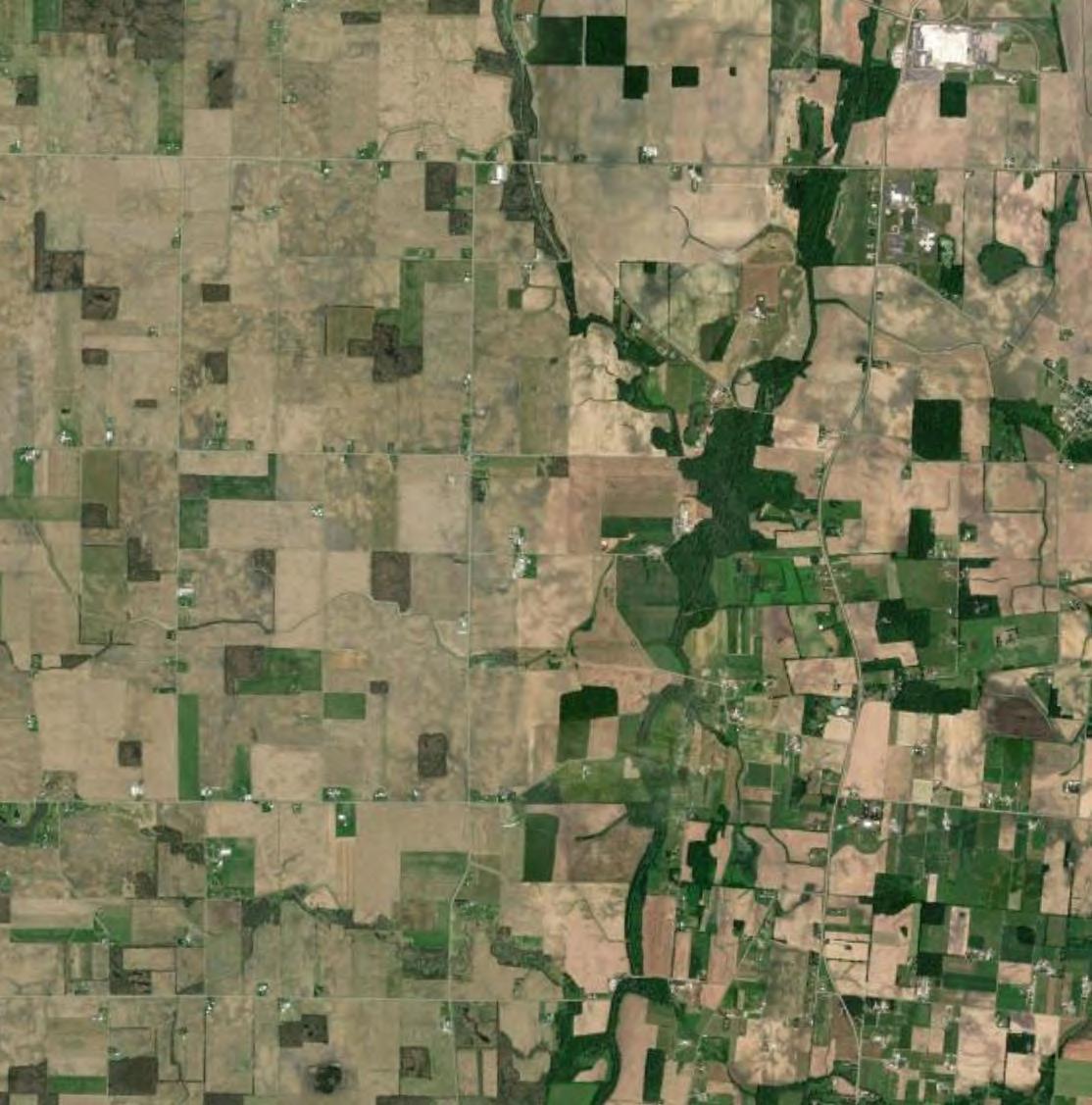
The NRCS SSURGO database identifies soil map units within the Literature Survey Study Area, of which there are 50 mapped (Figure 3 and Table 2). A variety of soil characteristics can contribute to habitat suitability for plants and wildlife, including soil texture and hydric rating.
Table 2 NRCS SSURGO Soil Map Units within the Literature Survey Study Area
Soil Map Unit

Blount silt loam, ground moraine, 2 to 4 percent slopes
Haskins loam, 0 to 3 percent slopes
Latty silty clay, occasionally flooded
Minster silty clay loam, till substratum, 0 to 1 percent slopes
Algiers silt loam
St. Clair silt loam, 6 to 12 percent slopes, moderately eroded
Lippincott silty clay loam, 0 to 2 percent slopes
Wu Westland silty clay loam, clay substratum
Pe Pewamo silty clay loam, 0 to 1 percent slopes
Haskins loam, 2 to 6 percent slopes
St. Clair silt loam, 2 to 6 percent slopes
Ockley silt loam, Southern Ohio Till Plain, 0 to 2 percent slopes
DeA Del Rey silt loam, 0 to 2 percent slopes
Gwg1B1 Glynwood silt loam, ground moraine, 2 to 6 percent slopes
FlB Fox loam, till plain, 2 to 6 percent slopes
Ca Carlisle muck, Central Ohio clayey till plain, drained, 0 to 2 percent slopes
Pk Pits, quarries
Mns3A Minster silty clay loam, 0 to 1 percent slopes
HoB Homer silt loam, 2 to 6 percent slopes
Water
Eldean silt loam, 6 to 12 percent slopes, moderately eroded
Ee Eel silt loam, 0 to 2 percent slopes, occasionally flooded
SlA Sleeth silt loam, 0 to 2 percent slopes
Gwg5C2 Glynwood clay loam, ground moraine, 6 to 12 percent slopes, eroded
Wa Wallkill silt loam
EmB Eldean silt loam, 2 to 6 percent slopes
Sh Shoals silt loam, 0 to 2 percent slopes, occasionally flooded
Gn Genesee silt loam, 0 to 2 percent slopes, occasionally flooded

0.2%
Fox loam, till plain, 0 to 2 percent slopes
Willette muck
OcB Ockley silt loam, Southern Ohio Till Plain, 2 to 6 percent slopes
HoA Homer silt loam, 0 to 2 percent slopes
Patton Variant silt loam
ScD2 St. Clair silt loam, 12 to 18 percent slopes, moderately eroded
Eldean silt loam, 0 to 2 percent slopes
Udorthents
CdD2 Casco-Eldean complex, 12 to 18 percent slopes, moderately eroded
Milton silt loam, 2 to 6 percent slopes
Del Rey silt loam, 2 to 6 percent slopes
Shinrock silt loam, 6 to 12 percent slopes
Milton silt loam, 6 to 12 percent slopes, moderately eroded
Paulding clay
Wt Westland silty clay loam, Southern Ohio Till Plain, 0 to 2 percent slopes 2.9
SgB Shinrock silt loam, 2 to 6 percent slopes
3.3.1
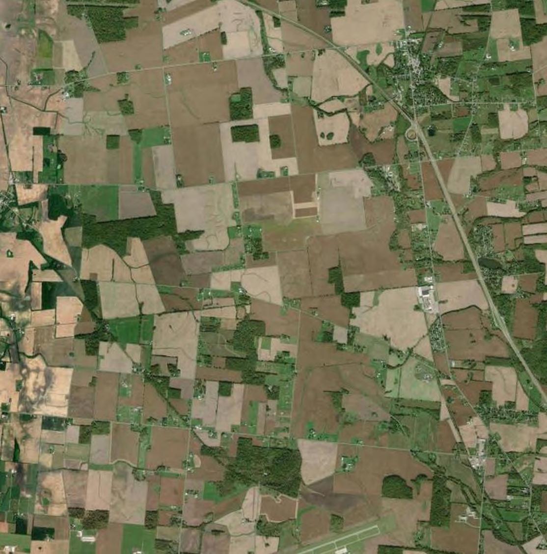
The USFWS NWI was reviewed to determine the types, sizes, and locations of aquatic habitats that could be present within the Literature Survey Study Area (Table 3 and Figure 4). Potential wetlands are identified and mapped within the NWI based on desktop interpretation. NWI information is used to supplement knowledge about a site and cannot take the place of field observations due to minimal ground truthing, age of the map, mapping scale, and criteria that differ from USACE wetland delineation criteria.

Table 3 NWI-Mapped Features within the Literature Survey Study Area
The USGS 3DHP provides information regarding water drainage networks within the Literature Survey Study Area and can indicate the presence of streams. USGS 3DHP information is used to supplement knowledge of a site and cannot take the place of field observations due to minimal ground truthing, age of the map, mapping scale, and stream criteria that differ from USACE stream delineation criteria. In total, 151,217.5 linear feet of streams were mapped within the Literature Survey Study Area (Figure 4).
The FEMA NFHL contains effective flood maps and Letters of Map Change (LOMC) that show areas of high, moderate, and minimal flood hazard. The NFHL map indicates 100-year floodplains, and a regulatory floodway are located within the Literature Survey Study Area (Figure 5).
Verdantas gathered information regarding which species might utilize the Literature Survey Study Area using a variety of information sources. Wildlife could use the Literature Survey Study Area for breeding, nesting, foraging, stopover, resting, or shelter.

The USFWS IPaC list identified five ESA-listed species, one species identified as an experimental, non-essential population, and one candidate species within range of the Literature Survey Study Area (Appendix A). Note that experimental, non-essential species and candidate species are not currently protected from incidental impacts under the ESA. Please also note that inclusion of a species on an IPaC does not necessarily indicate its presence or documented occurrence within the Literature Survey Study Area. There are no critical habitats for ESA-listed species within Logan County. The USFWS IPaC list also identified 18 birds of particular concern (these birds either occur on the USFWS Birds of Conservation Concern [BCC] list or warrant special attention in the project location). This list included bald eagles (Haliaeetus leucocephalus), which are protected under the BGEPA.
The ODNR State-Listed Animal and Plant Species lists for Logan County were reviewed to identify which state-listed species may be present within the Literature Survey Study Area (Appendix B). These lists provide documented occurrences of listed species within the county since 1980. Ten state-listed wildlife species, 14 species of concern, five endangered plant species, 17 threatened plant species, and 17 potentially threatened plant species were documented in Logan County (ODNR, 2023; ODNR, 2023).
3.4.3
Species of commercial or recreational value that are local to the Literature Survey Study Area include common game species, such as white-tailed deer (Odocoileus virginiana), turkey (Meleagris gallopavo), waterfowl (mallards [Anas platyrhynchos, etc.]), upland game birds (doves [Zenaida macroura], pheasants [Phasianus colchicus], bobwhite [Colinus virginianus], etc.), fish, and furbearers (ODNR, 2024). These, and other, common wildlife species may utilize the Study Area.
The IBA Program is administered by the National Audubon Society in the United States. IBAs are distinct areas that provide essential breeding, wintering, or migration habitat for one or more bird species. Camp Myeerah IBA is located about 10 miles southeast of the Study Area and is the closest to the Project. The Camp Myeerah IBA includes rolling hills, meadows, second growth-mature woodlots, ravines, and two ponds. The IBA supports meadows, mixed grasslands, and mixed forests that provide important habitat for breeding birds, of which over 150 species have been observed in this IBA, including over 20 species of warblers. Lawrence Woods IBA is located about 10.5 miles northeast of the Study Area. The Lawrence Woods IBA is a State Nature Preserve that contains about 500 acres of wet mature woodland and about 500 acres of grassland and meadows. The IBA supports west-central Ohio’s largest known mature forest with large areas of button bush wetlands that provide important habitat for breeding birds and salamanders.
Verdantas ecologists also reviewed eBird hotspots nearest to the Literature Survey Study Area. The eBird website and application are administered by the Cornell Lab of Ornithology and the National Audubon Society and provide real-time species lists of birds as recorded by both recreational and professional birders. There are nine eBird hotspots within two miles of the Study Area, including:
▶ John and Mary Rudolph Nature Area, which is adjacent to the Study Area. This hotspot has record of 85 species utilizing the area, including mallards (last observed in 2024), doves (last observed in 2024), bald eagles (last observed in 2024), and three species of concern, the red-

headed woodpecker (Melanerpes erythrocephalus, last observed in 2024), the wood thrush (Hylocichla mustelina, last observed in 2016), and the chimney swift (Chaetura pelagica, last observed in 2023)
▶ Indian Lake SP – South Dam and Spillway, which is located 0.25 mile north of the Study Area. This hotspot has record of 43 species, including mallards (last observed in 2024), doves (last observed in 2023), bald eagles (last observed in 2023), and five species of concern, the American coot (Fulica americana, last observed in 2024), the ruddy duck (Oxyura jamaicensis, last observed in 2023), the great blue heron (Ardea herodias, last observed in 2023), the song sparrow (Melospiza melodia, last observed in 2023), and the American white pelican (Pelecanus erythrorhynchos, last observed in 2023).
▶ Plum Cemetery, which is located 1.15 miles south of the Study Area. This hotspot has record of 145 species, including wild turkey (last observed in 2024), mallards (last observed in 2024), doves (last observed in 2024), bald eagles (last observed in 2024), the state-listed endangered northern harrier (Circus hudsonius, last observed in 2019), the state-listed threatened sandhill crane (Antigone canadensis, last observed in 2024), and eight species of concern. The species of concern included the black-billed cuckoo (Coccyzus erythropthalmus, last observed in 2020), cerulean warbler (Setophaga cerulea, last observed in 2022), the chimney swift (last observed in 2024), lesser yellowlegs (Tringa flavipes, last observed in 2023), red-headed woodpecker (last observed in 2024), rusty blackbird (Euphagus carolinus, last observed in 2018), wood thrush (last observed in 2024), and prothonotary warbler (Protonotaria citrea, last observed in 2024).
No ESA-listed or state-listed species were observed at these three hotspots. There are many eBird hotspots within the landscape greater than two miles from the Study Area. These hotspots are typically associated with parks, natural areas, and urban landscapes.
Verdantas coordinated with the USFWS regarding federally protected species within the Study Area (Appendix C). The USFWS addressed potential impacts to the Indiana bat (Myotis sodalis), northern long-eared bat (Myotis septentrionalis), tricolored bat (Perimyotis subflavus), and eastern Massasauga (Sistrurus catenatus). The USFWS requested follow up coordination once the extent of proposed tree clearing associated with the Project is known, noting the total estimated maximum acreage of clearing is anticipated to be 12.9 acres Verdantas responded to the USFWS request via email, providing the estimated maximum acreage of tree clearing required by the Project (Appendix C) In addition, the USFWS recommended an eastern Massasauga habitat assessment be conducted by a state-approved herpetologist to determine whether suitable habitat exists.
Further, as discussed below, an active bald eagle nest was observed adjacent to the Study Area (two additional potential bald eagle nests were observed in the vicinity of the Project). Verdantas provided USFWS with the location of the active nest and inquired about recommended avoidance measures. The USFWS responded that tree clearing should be avoided within 660 feet of an active nest or within a woodlot supporting a nest tree, and that construction work within 660 feet of an active nest should be restricted from January 15 to July 31. The USFWS also clarified that construction work within the line-of-sight of the identified nest would not be anticipated to disturb bald eagles given the distance from the nest and the type of construction work (Appendix C).
Verdantas also coordinated with ODNR regarding plants and wildlife within a one-mile radius of the Study Area (Appendix D). The ODNR Natural Heritage Database (NHDB) found records of one bald eagle nest, the eastern hellbender (Cryptobranchus alleganiensis), a state-endangered species, the

lake chubsucker (Erimyzon sucetta), a state-threatened species, and the elktoe (Alasmidonta marginata), a state species of concern, within one mile of the Study Area.
Further, ODNR Division of Wildlife (DOW) identified that the Study Area is within range of the following species:
1. Indiana bat
2. Northern long-eared bat
3. Little brown bat
4. Tricolored bat
5. Rayed bean
6. Eastern Massasauga 7. Spotted turtle
8. Northern harrier
9. Sandhill crane
In addition, the DOW recommended that a desktop review of potential subsurface openings within 0.25 miles of the Study Area be performed to identify features which may serve as bat hibernacula Verdantas reviewed the ODNR Mines of Ohio Database and karst topography data and found no potential subsurface openings mapped within the Study Area (Figure 6). The ODNR also recommended avoidance and minimization of impacts to sensitive natural resources and wildlife. Those recommendations are summarized in Section 5, Table 5 of this report.
In addition, review of ODNR wildlife resources indicates no parks or properties within the Study Area. Indian Lake State Park is located just north of the central portion of the Study Area and approximately 1.5 miles west of the northeastern portion of the Study Area (Figure 6).

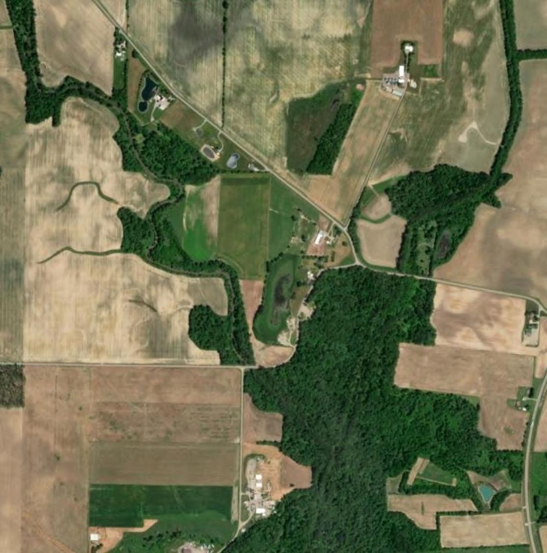
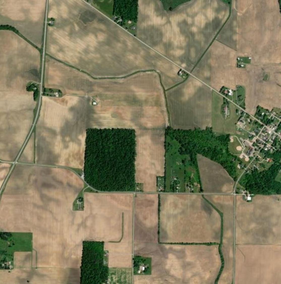
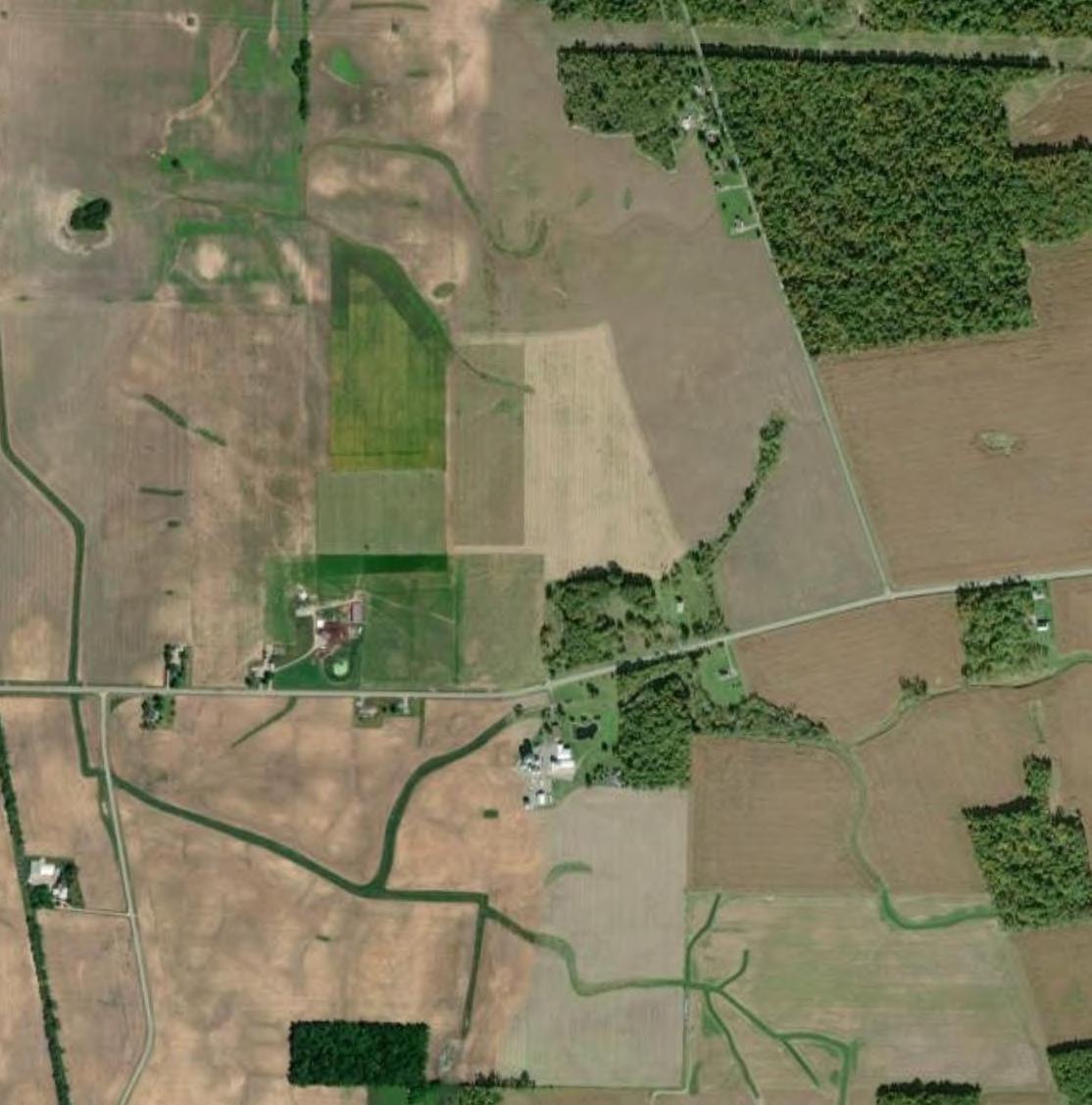
Field surveys were conducted within a 3,856.2-acre boundary which included constructable portions of the Study Area (hereafter referred to as the “Ecological Study Area”) on June 14 and 25, 2024. In total, eight habitats were identified within the Ecological Study Area (Figure 8). Representative photographs of each habitat type are provided in Appendix E.
The results of the field surveys were generally consistent with the results of the Ecological Study Area (Table 4). Cultivated crops are the dominant landcover (94.0%).
Table 4 Field-Verified Land Cover Types within the Ecological Study Area
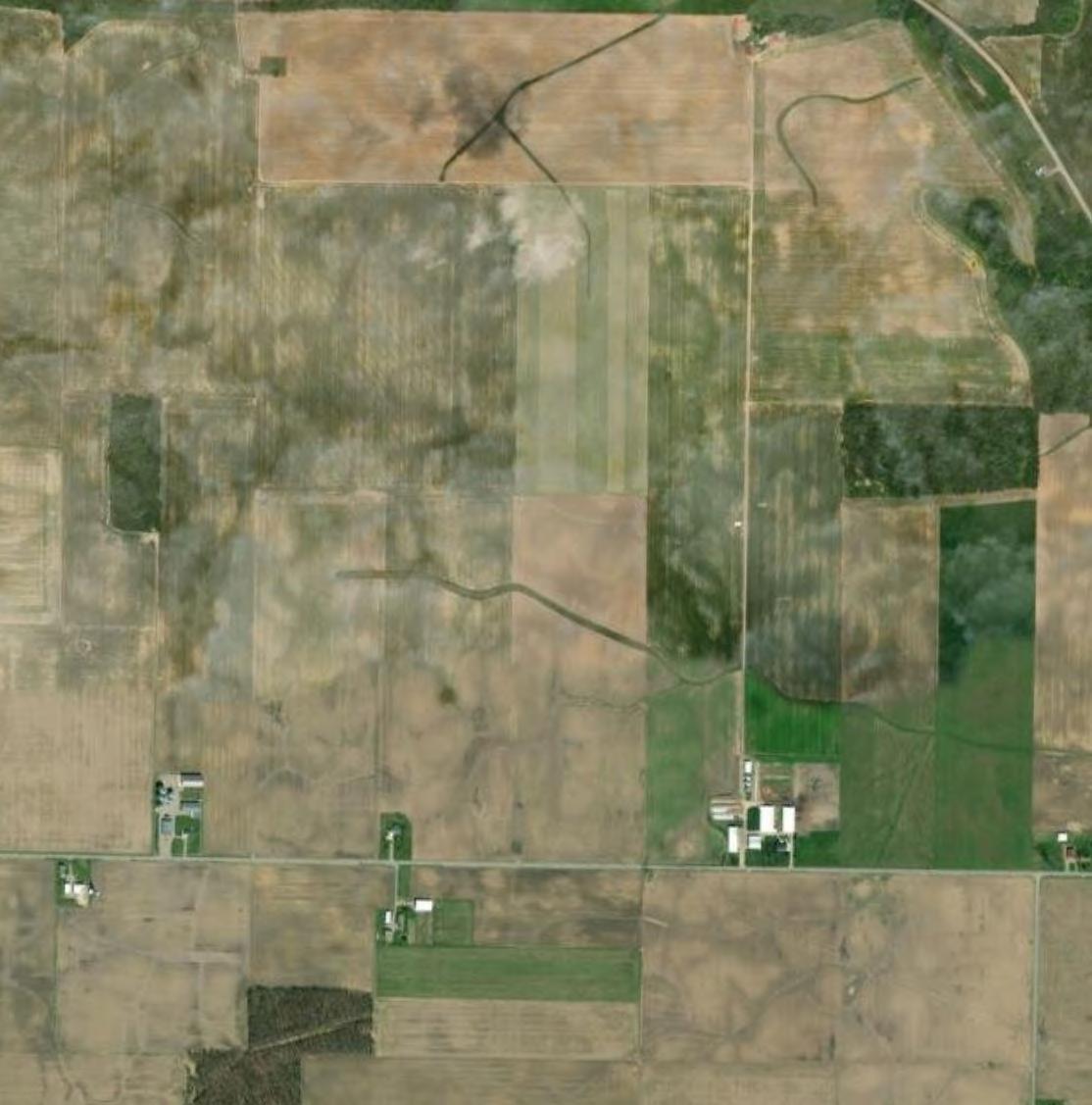
The dominant land cover type within the Ecological Study Area is active crop land. The most commonly encountered crops were corn and soybeans
4.1.2
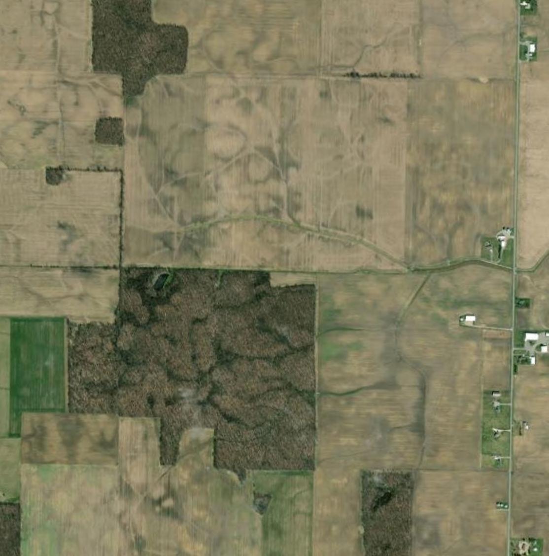
Field surveys confirmed that tree lines and woodlots are uncommon within the Ecological Study Area and consisted of both upland and wetland woods. Deciduous forest in upland areas supported shagbark hickory (Carya ovata), sugar maple (Acer saccharum), red oak (Quercus rubra), and hackberry (Celtis occidentalis) in the over- and mid-stories. The understories tended to be dominated by invasive species such as bush honeysuckle (Lonicera spp.) and multiflora rose (Rosa multiflora). Woody wetlands consisted of green ash (Fraxinus pennsylvanica), pin oak (Quercus palustris), and silver maple (Acer saccharinum). Herbaceous layers were generally sparse to absent within woodlots.
4.1.2.1 Potential Bat Roost Trees

Within the Ecological Study Area, potential roost trees (PRTs) were observed in low to high density along tree lines and within woodlots. These trees are less than 1,000 feet from forests/woodlots, have a diameter at breast height (DBH) greater than or equal to 3 inches, and have shaggy/flaking bark, deep crevices, and/or snags. Several trees were shagbark hickories, and others were standing dead snags
Thirty-four wetlands were identified within the Ecological Study Area, comprising a total of 20.32 acres. Wetlands were typically associated with streams and supported emergent, scrub-shrub, forested vegetation, or a mixture of more than one type. Twenty-seven wetlands were field identified as Category 1, and seven were identified as Category 2. No probable Category 3 wetlands were identified within the Ecological Study Area. Note that concurrence from the Ohio Environmental Protection Agency (Ohio EPA) will be required to confirm these field-identified wetland categories.
Thirteen streams, comprising a total of 35,778 linear feet, were identified within the Ecological Study Area. All were determined to be relatively permanent waters with intermittent or perennial flow regimes. One freshwater pond was also delineated within the Ecological Study Area, comprising 0.69 acres. For more information regarding surface water features within the Ecological Study Area, refer to the surface water delineation report for the Project, provided under a separate cover.
Developed open space and grassland/herbaceous habitat cover was minimal within the Ecological Study Area. Developed open spaces were regularly maintained, occurring primarily along field edges, farm roads, residential lawns, and within roadway rights-of-way. The dominant species in these areas included tall fescue (Lolium pratense), perennial ryegrass (Lolium perenne), Kentucky bluegrass (Poa pratensis), and white clover (Trifolium repens). Grassland/herbaceous habitats occurred within upland swales and along stream and ditch networks in agricultural fields. The dominant species in these areas included red fescue (Festuca rubra), meadow fescue (Festuca pretensis), perennial ryegrass, and white clover.
Verdantas ecologists generated a comprehensive list of the wildlife encountered during field surveys (Appendix F). Wildlife observed were typical of the region and most frequently encountered along the edges of agricultural fields, the interior of woodlots, and utilizing surface water features. No subsurface openings or potential winter hibernacula for Indiana bat, northern long-eared bat, or tricolor bat were observed within the Ecological Study Area.
Three special status species were observed during field surveys; the northern harrier, sandhill crane and bald eagle were observed within the Ecological Study Area. No other special status species were observed during field surveys.

Based on the results of the literature survey, 20 special status species were identified as targets for more detailed review. The field surveys focused on identifying potentially suitable habitat for target species and other wildlife resources. Appendix G provides a summary of the target species, the results of field surveys, and recommendations provided through agency coordination.
Based on the literature survey, wildlife agency coordination, and field surveys, the Study Area contains potentially suitable habitat for several special status species. Potentially suitable habitat for protected amphibian and mussel species may be present within the Great Miami River. Suitable nesting habitat for protected migratory bird species may be present in the open fields, wetlands, and wooded areas of the Study Area. Bald eagles are known to occur in the vicinity of the Study Area and an active eagle nest was observed within a woodlot adjacent to the Study Area. No known bat hibernacula were identified in the vicinity of the Study Area and no caves or other potential hibernacula were identified within the Study Area during field surveys. However, woodlots within the Study Area could provide suitable summer roost habitat for protected bat species. Wetland areas and adjacent undeveloped uplands within the Study Area could provide potentially suitable habitat for the eastern Massasauga, copperbelly water snake, and spotted turtle. ODNR has advised that the Project is not likely to impact the eastern Massasauga and the spotted turtle, but USFWS recommends a species-specific habitat survey be conducted for the eastern Massasauga. All agency correspondence is included as Appendix C.

Several species of commercial and recreational importance were observed during field surveys, in particular white-tailed deer and a variety of songbirds.
White-tailed deer are recreationally hunted in Logan County. While movement of deer may alter slightly due to exclusion from the Project, the preservation of forest stands and wetlands within the Study Area will maintain valuable wildlife corridors to facilitate deer movement. Further, the Project is designed with appropriate setbacks, which can also act as corridors for movement. While a loss of some habitat may occur due to exclusion from the array areas, the loss is minimal when considered in context with the surrounding landscape.
Birdwatchers engage in recreational observation of songbirds. Nearby birding hotspots were identified during the literature survey, and songbirds were observed during field surveys. Where feasible, the Project is expected to incorporate native flowering forb speciesinto landscape screening areas outside of the fence line to support pollinators. These areas should provide some nesting and foraging habitat for insects and birds. Birds may also use the interior of the Facility, which is expected to be planted as pasture, as foraging habitat.
Finally, pastureland may provide habitat to species that were previously using the agricultural fields. Increased ground cover; decreased seasonal disturbances; as well as decreased frequency of application and amounts of pesticides, herbicides, and fertilizers should slightly increase habitat quality compared to cropland.

Verdantas performed a literature survey, followed by field surveys on June 14 and 25, 2024. In total, eight land use types were documented within the Ecological Study Area. Cultivated crops dominated the landscape and were interspersed by small areas of woodlands, wetlands, herbaceous habitats, and developed spaces.
▶ Wildlife encountered during fieldwork was consistent with the common assemblage of species expected in a predominantly agricultural landscape in central Ohio. Potentially suitable habitat for some special status species was observed. Three special status species were observed during field surveys: the northern harrier, sandhill crane, and bald eagle. No other special status species were observed at the time of survey. No potential bat hibernacula were observed during field surveys.
▶ The ODNR DOW recommends tree-cutting only occur from October 1 through March 31, conserving trees with loose, shaggy bark and/or crevices, holes, or cavities, as well as trees with DBH ≥ 20, if possible. The ODNR DOW also recommends that a desktop assessment be conducted, followed by a field assessment if needed, to determine if a potential hibernaculum is present within the Study Area. A habitat assessment should be conducted in accordance with the current USFWS Range-Wide Indiana Bat & Northern Long-Eared Bat Survey Guidelines. If a potential or known hibernaculum is found, the ODNR DOW recommends a 0.25-mile tree cutting and subsurface disturbance buffer around the hibernaculum entrance. Limited summer or winter tree cutting may be acceptable after consultation with the ODNR DOW.
• Verdantas understands that Grange Solar plans to avoid impacts to forest stands, but some tree trimming and clearing of field borders and along easement corridors may occur. Potential roost trees within 1,000 feet of a woodlot, and within hedgerows, forest edges, and buffer strips, were identified as part of the Wildlife and Habitat Assessment field survey. No potential hibernacula were identified during field surveys. If tree clearing is required, Grange intends to abide by the recommended time of year restriction (TOYR).
▶ The USFWS requested additional information on the extent of tree clearing proposed so that they may evaluate the potential for the project to affect the Indiana bat and northern long-eared bat and recommend appropriate minimization measures.
• Verdantas followed up via email with USFWS, providing the estimated maximum acres of tree clearing, approximately 12.9 acres, that may be required by the Project (Appendix C).
▶ The ODNR DOW recommends that impacts to streams, wetlands and other water resources be avoided and minimized to the extent possible, and that BMPs be utilized to minimize erosion and sedimentation.
• The locations of surface water features were delineated. For more information, refer to the surface water delineation report for the Project.
• Verdantas understands that Grange Solar plans to minimize impacts to surface water features to the maximum extent practicable, and BMPs will be used to minimize erosion and sedimentation.
▶ Per the Ohio Mussel Survey Protocol, all Group 2, 3, and 4 streams require a mussel survey prior to in-water work. Group 1 streams and unlisted streams with a watershed of five square miles or larger above the point of impact should be assessed using the Reconnaissance Survey for Unionid Mussels to determine if mussels are present prior to in-water work. Mussel surveys may be recommended for these streams as well. If in-water work is planned in any stream that meets any of the above criteria, the DOW recommends that the applicant provide information to indicate no mussel impacts will occur, otherwise, a professional malacologist should conduct a

mussel survey in accordance with the Ohio Mussel Survey Protocol. If mussels that cannot be avoided are found, the DOW recommends a professional malacologist collect and relocate the mussels to suitable and similar habitat upstream of the project site.
• If in-stream work is proposed in the Great Miami River, a Group 1 listed stream or in Cherokee Mans Run, an unlisted stream with a drainage area greater than five square miles, a mussel reconnaissance is required. There are no other streams within the Ecological Study Area that require a mussel reconnaissance.
▶ The DOW recommends no in-water work in perennial streams from March 15 through June 30 to reduce impacts to indigenous aquatic species and their habitat.
• Verdantas understands that impacts to perennial streams will be minimized to the maximum extent possible. If impacts to perennial streams are unavoidable, Verdantas understands that Grange Solar intends to abide by the recommended TOYR.
▶ The DOW recommends that if grasslands and large marshes will be impacted, construction should be avoided in this habitat during the northern harrier’s nesting period of April 15 through July 31.
• A northern harrier and norther harrier habitat were observed within the Ecological Study Area. Verdantas understands that, if work within these habitats needs to occur, Grange Solar plans to mow/clear prior to the nesting periods to avoid impacts to established nests.
▶ If grasslands, prairies, or wetland habitat will be impacted, construction should be avoided in those areas during the sandhill crane’s nesting period of April 1 through August 31.
• Two sandhill cranes and potentially suitable habitat were observed within the Ecological Study Area Verdantas understands that, if work within these habitats needs to occur, Grange Solar plans to mow/clear prior to the nesting periods to avoid impacts to established nests.
▶ The USFWS noted that the Project is within the range of the eastern Massasauga and advised that the species hibernates in low, wet areas with a high-water table in the winter, and uses drier, open areas that contain a mix of grasses and forbs (such as goldenrods and other prairie plants), which can be intermixed with some shrubs and trees, in the summer. These habitats need to be adjoining to allow the eastern Massasauga to travel back and forth seasonally. The USFWS recommended that a habitat assessment should be conducted to determine if suitable habitat for the eastern Massasauga is present within the Study Area.
• The Project will avoid most wetlands and immediately adjoining uplands by implementing a 120-foot non-disturbance buffer around wetlands. This buffer may be sufficient to avoid potential suitable habitat for this species, as the vast majority of uplands within the Study Area consist of cultivated agricultural cropland. Further, ODNR advised that the Project would not likely impact the species given the type of habitat in the Project Area and the type of work proposed.
• Once the Facility design is further developed and potential impacts to wetlands and adjoining uplands are more clearly identified, Grange plans to further coordinate with USFWS to determine if a habitat assessment is still warranted. If the USFWS determines that a habitat assessment is still necessary, and suitable habitat is identified within the Study Area, Grange will coordinate with USFWS to identify and implement appropriate avoidance and minimization measures.
Refer to Appendix C and D for the complete set of guidance and correspondence with ODNR and USFWS. Based on the findings of the field survey and the agency recommendations, it is unlikely that significant impacts to state or ESA-listed species will occur.

Likewise, impacts to species of commercial and recreational importance will likely be negligible. Avoidance of sensitive natural resources, such as wildlife corridors, combined with the installation of a diverse assemblage of plant species in previously mono-cropped landscapes, should provide a slight ecological uplift to wildlife within the vicinity of the Project.

Cornell Lab of Ornithology. 2024. eBird. Available at: https://ebird.org/home. Last accessed: September 10, 2024.
Federal Emergency Management Agency. 2023. National Flood Hazard Layer. Last accessed: July 21, 2023.
Multi-Land Resolution Land Characteristics Consortium. 2019. National Land Cover Database. Last accessed: July 21, 2023.
National Audubon Society (NAS). 2023. Important Bird Areas Information Hub. Available at: https://gis.audubon.org/portal/apps/sites/?_gl=1*e4ubyo*_ga*NDA3MjIxNTYzLjE2ODk3MD MyOTc.*_ga_X2XNL2MWTT*MTY4OTk2MTAzMy4zLjAuMTY4OTk2MTAzNi41Ny4wLjA.#/ nas-hub-site Last accessed: July 21, 2023.
Ohio Department of Natural Resources (ODNR). 1998. Physiographic Regions of Ohio.
Ohio Department of Natural Resources (ODNR). 2023. Logan County State Listed Plant Species. Available at: https://ohiodnr.gov/static/documents/natural-areas/species/Logan.pdf. Last accessed: March 4, 2024.
Ohio Department of Natural Resources (ODNR). 2022. Freshwater Mussels of Ohio Field Guide. Available at: https://ohiodnr.gov/static/documents/wildlife/backyard-wildlife/Pub+5517++Freshwater+Mussels+of+Ohio+R1022.pdf Last accessed: June 10, 2024.
Ohio Department of Natural Resources (ODNR). 2024. Hunting Resources by Species. Available at: https://ohiodnr.gov/discover-and-learn/education-training/wild-ohio-harvestcommunity/hunting-resources-species Last accessed: June 07, 2024.
Ohio Department of Natural Resources (ODNR). 2023. Logan County State Listed Animal Species. Available at: https://ohiodnr.gov/static/documents/wildlife/state-listed-species/logan.pdf. Last accessed: March 4, 2024.
Ohio Department of Natural Resources (ODNR). 2023. Ohio Division of Wildlife and U.S. Fish and Wildlife Service (OH-Field Office) Joint Guidance for Bat Surveys and Tree Clearing. Available at: https://ohiodnr.gov/static/documents/wildlife/permits/2023+State+Bat+Survey+Guidance.pdf Last accessed: July 21, 2023.
Soil Survey Staff, Natural Resources Conservation Service, United States Department of Agriculture. 2024. Web Soil Survey. Available at: http://websoilsurvey.nrcs.usda.gov. Last accessed: June 10, 2024.
U.S. Fish and Wildlife Service (USFWS). 2023. National Wetlands Inventory. U.S. Fish and Wildlife Service, St. Petersburg, FL. Last accessed: July 21, 2023.
U.S. Fish and Wildlife Service (USFWS). 2023. Information for Planning and Consultation. Available at: https://ipac.ecosphere.fws.gov/. Last accessed: July 21, 2023.

U.S. Geological Survey (USGS). 1960 and 1961. Topographical quadrangle maps (7.5-minute series). Huntsville and Russells Point, Ohio quadrangles. U.S. Department of the Interior. Washington, D.C.
U.S. Geological Survey (USGS). 2024. 3D Hydrography Program (3DHP). Last accessed: June 12, 2024.

Figures

DISCLAIMER: Verdantas LLC has furnished this map to the Client for its sole and exclusive use as a preliminary planning and screening tool. This map is reproduced from geospatial information compiled from third-party sources which may change over time and are not accurate as to mapping, surveying or engineering standards. Verdantas LLC makes no representation or warranty as to the content, accuracy, timeliness or completeness of any information. In no event will Verdantas LLC, its owners, officers, employees or agents, be liable for damages of any kind arising out of the use of this map by Client or any other party.

Topographic Map: National Geographic Society Web Service.
Quadrangles: Russells Point and Huntsville, Ohio; published 1983.



Study Area
Ecological Study Area
Literature Survey Study Area
NLCD 2021
Barren Land (Rock/Sand/Clay)
Cultivated Crops
Deciduous Forest
Developed, High Intensity
Developed, Low Intensity
Developed, Medium Intensity
Developed, Open Space
Emergent Herbaceous Wetlands
Evergreen Forest
Grassland/Herbaceous
Mixed Forest
Open Water
Pasture/Hay
Shrub/Scrub


Woody Wetlands


Study Area
Ecological Study Area
Literature Survey Study Area
USDA Soils


Note:
Hydric Soils (>99%)
Predominantly Hydric Soils (66%-99%)
Predominantly Nonhydric Soils (1%-33%)
Nonhydric Soils (<1%)


StudyArea
Ecological Study Area
Literature Survey Study Area NWI Wetlands

Freshwater Emergent Wetland
Freshwater Forested/Shrub Wetland
Freshwater Pond
Lake
Riverine
USGS 3DHP Flowlines
Canal
Drainageway
Elevation Breaching Connector
Hydro Unenforced Connector
River
Surface Connector
Waterbody Connector



Freshwater
Freshwater Forested/Shrub Wetland
Freshwater Pond
Riverine
River
Waterbody Connector
















Freshwater
Freshwater
Riverine
River
Waterbody







Freshwater
Freshwater
Freshwater
Riverine
River
Waterbody Connector










Freshwater
Freshwater
Riverine
River











Literature
Index
Field
Cultivated Crops
Deciduous
Developed
Emergent
Grassland/Herbaceous
Open
Scrub-Shrub Wetlands
Woody Wetlands


Deciduous
Woody


Literature
Field
Cultivated
Deciduous
Developed
Emergent
Grassland/Herbaceous
Open
Woody


Ecological
Literature
Field Verified
Cultivated Crops
Deciduous Forest
Developed
Emergent Herbaceous Wetlands
Grassland/Herbaceous
Open Water
Scrub-Shrub Wetlands
Woody Wetlands


Cultivated
Deciduous
Developed


Scrub-Shrub


Ecological
Literature
Field
Cultivated Crops
Deciduous Forest
Developed
Emergent
Grassland/Herbaceous
Woody Wetlands


Literature
Field
Cultivated
Deciduous
Developed
Emergent
Grassland/Herbaceous
Open
Woody


Literature
Field
Cultivated
Deciduous
Developed
Emergent
Grassland/Herbaceous
Open Water
Scrub-Shrub Wetlands
Woody Wetlands


This report is an automatically generated list of species and other resources such as critical habitat (collectively referred to as trust resources) under the U.S. Fish and Wildlife Service's (USFWS) jurisdiction that are known or expected to be on or near the project area referenced below. The list may also include trust resources that occur outside of the project area, but that could potentially be directly or indirectly a�ected by activities in the project area

Local o�ce
Ohio Ecological Services Field O�ce (614) 416-8993 (614) 416-8994
4625 Morse Road, Suite 104
Columbus, OH 43230-8355

This resource list is for informational purposes only and does not constitute an analysis of project level impacts.
The primary information used to generate this list is the known or expected range of each species. Additional areas of in�uence (AOI) for species are also considered. An AOI includes areas outside of the species range if the species could be indirectly a�ected by activities in that area (e g placing a dam upstream of a �sh population even if that �sh does not occur at

Listed species and their critical habitats are managed by the Ecological Services Program of the U.S. Fish and Wildlife Service (USFWS) and the �sheries division of the National Oceanic and Atmospheric Administration (NOAA Fisheries ).
Species and critical habitats under the sole responsibility of NOAA Fisheries are not shown on this list. Please contact NOAA Fisheries for species under their jurisdiction.
1 Species listed under the Endangered Species Act are threatened or endangered; IPaC also shows species that are candidates, or proposed, for listing. See the listing status page for more information. IPaC only shows species that are regulated by USFWS (see FAQ).
2. NOAA Fisheries, also known as the National Marine Fisheries Service (NMFS), is an o�ce of the National Oceanic and Atmospheric Administration within the Department of Commerce.
The following species are potentially a�ected by activities in this location:
NAME STATUS
Indiana Bat Myotis sodalis
Wherever found
There is �nal critical habitat for this species Your location does

NAME STATUS
Copperbelly Water Snake Nerodia erythrogaster neglecta
No critical habitat has been designated for this species. https://ecos.fws.gov/ecp/species/7253
Eastern Massasauga (=rattlesnake) Sistrurus catenatus
Wherever found
No critical habitat has been designated for this species. https://ecos.fws.gov/ecp/species/2202
Threatened
Threatened
NAME STATUS
Rayed Bean Villosa fabalis
Wherever found
No critical habitat has been designated for this species. https://ecos.fws.gov/ecp/species/5862

Bald and golden eagles are protected under the Bald and Golden Eagle Protection Act and the Migratory Bird Treaty Act
Any person or organization who plans or conducts activities that may result in impacts to bald or golden eagles, or their habitats , should follow appropriate regulations and consider implementing appropriate conservation measures, as described in the links below. Speci�cally, please review the "Supplemental Information on Migratory Birds and Eagles".
Additional information can be found using the following links: Eagle Management https://www.fws.gov/program/eagle-management
Measures for avoiding and minimizing impacts to birds
https://www.fws.gov/library/collections/avoiding-and-minimizing-incidental-takemigratory-birds
Nationwide conservation measures for birds
https://www.fws.gov/sites/default/�les/documents/nationwide-standard-conservationmeasures.pdf
Supplemental Information for Migratory Birds and Eagles in IPaC
https://www.fws.gov/media/supplemental-information-migratory-birds-and-bald-andgolden-eagles-may-occur-project-action
There are likely bald eagles present in your project area. For additional information on bald l f B ld E l N i d S i i i H A i i interpret this report.

Each green bar represents the bird's relative probability of presence in the 10km grid cell(s) your project overlaps during a particular week of the year. (A year is represented as 12 4week months.) A taller bar indicates a higher probability of species presence. The survey e�ort (see below) can be used to establish a level of con�dence in the presence score. One can have higher con�dence in the presence score if the corresponding survey e�ort is also high.
How is the probability of presence score calculated? The calculation is done in three steps:
1. The probability of presence for each week is calculated as the number of survey events in the week where the species was detected divided by the total number of survey events for that week. For example, if in week 12 there were 20 survey events and the Spotted Towhee was found in 5 of them, the probability of presence of the Spotted Towhee in week 12 is 0.25.
2. To properly present the pattern of presence across the year, the relative probability of presence is calculated. This is the probability of presence divided by the maximum probability of presence across all weeks. For example, imagine the probability of presence in week 20 for the Spotted Towhee is 0 05, and that the probability of presence at week 12 (0.25) is the maximum of any week of the year. The relative probability of presence on week 12 is 0.25/0.25 = 1; at week 20 it is 0.05/0.25 = 0.2.

information. The exception to this is areas o� the Atlantic coast, where bird returns are based on all years of available data, since data in these areas is currently much more sparse.
no data survey e�ort breeding season probability of presence
What does IPaC use to generate the potential presence of bald and golden eagles in my speci�ed location?
The potential for eagle presence is derived from data provided by the Avian Knowledge Network (AKN) The AKN data is based on a growing collection of survey, banding, and citizen science datasets and is queried and �ltered to return a list of those birds reported as occurring in the 10km grid cell(s) which your project intersects, and that have been identi�ed as warranting special attention because they are a BCC species in that area, an eagle (Eagle Act requirements may apply). To see a list of all birds potentially present in your project area, please visit the Rapid Avian Information Locator (RAIL) Tool.
What does IPaC use to generate the probability of presence graphs of bald and golden eagles in my speci�ed location?
The Migratory Bird Resource List is comprised of USFWS Birds of Conservation Concern (BCC) and other species that may warrant special attention in your project location.
The migratory bird list generated for your project is derived from data provided by the Avian Knowledge

migratory birds, eagles, and their habitats should follow appropriate regulations and consider implementing appropriate conservation measures, as described in the links below Speci�cally, please review the "Supplemental Information on Migratory Birds and Eagles".
1. The Migratory Birds Treaty Act of 1918.
2. The Bald and Golden Eagle Protection Act of 1940.
Additional information can be found using the following links: Eagle Management https://www.fws.gov/program/eagle-management
Measures for avoiding and minimizing impacts to birds https://www.fws.gov/library/collections/avoiding-and-minimizing-incidental-takemigratory-birds
Nationwide conservation measures for birds https://www.fws.gov/sites/default/�les/ documents/nationwide-standard-conservation-measures.pdf
Supplemental Information for Migratory Birds and Eagles in IPaC https://www.fws.gov/media/supplemental-information-migratory-birds-and-bald-andgolden-eagles-may-occur-project-action
The birds listed below are birds of particular concern either because they occur on the USFWS Birds of Conservation Concern (BCC) list or warrant special attention in your project location. To learn more about the levels of concern for birds on your list and how this

This is not a Bird of Conservation Concern (BCC) in this area, but warrants attention because of the Eagle Act or for potential susceptibilities in o�shore areas from certain types of development or activities. https://ecos.fws.gov/ecp/species/1626
This is a Bird of Conservation Concern (BCC) throughout its range in the continental USA and Alaska. https://ecos.fws.gov/ecp/species/9399
Breeds May 15 to Oct 10
Bobolink Dolichonyx oryzivorus
This is a Bird of Conservation Concern (BCC) throughout its range in the continental USA and Alaska
Cerulean Warbler Setophaga cerulea
This is a Bird of Conservation Concern (BCC) throughout its range in the continental USA and Alaska. https://ecos fws gov/ecp/species/2974
Chimney Swift Chaetura pelagica
Thi i Bi d f C ti C (BCC) th h t it
Breeds May 20 to Jul 31
Breeds Apr 21 to Jul 20
Breeds Mar 15 to Aug 25

Prothonotary Warbler Protonotaria citrea
This is a Bird of Conservation Concern (BCC) throughout its range in the continental USA and Alaska.
Red-headed Woodpecker Melanerpes erythrocephalus
This is a Bird of Conservation Concern (BCC) throughout its range in the continental USA and Alaska.
Breeds Apr 1 to Jul 31
Breeds May 10 to Sep 10
This is a Bird of Conservation Concern (BCC) only in particular Bird Conservation Regions (BCRs) in the continental USA
This is a Bird of Conservation Concern (BCC) only in particular Bird Conservation Regions (BCRs) in the continental USA
Semipalmated Sandpiper Calidris pusilla
This is a Bird of Conservation Concern (BCC) only in particular Bi d C ti R i (BCR ) i th ti t l USA
Breeds elsewhere
Breeds elsewhere
Breeds elsewhere

Each green bar represents the bird s relative probability of presence in the 10km grid cell(s) your project overlaps during a particular week of the year. (A year is represented as 12 4week months.) A taller bar indicates a higher probability of species presence. The survey e�ort (see below) can be used to establish a level of con�dence in the presence score. One can have higher con�dence in the presence score if the corresponding survey e�ort is also high.
How is the probability of presence score calculated? The calculation is done in three steps:
1. The probability of presence for each week is calculated as the number of survey events in the week where the species was detected divided by the total number of survey events for that week. For example, if in week 12 there were 20 survey events and the Spotted
Towhee was found in 5 of them, the probability of presence of the Spotted Towhee in week 12 is 0.25.
2. To properly present the pattern of presence across the year, the relative probability of presence is calculated. This is the probability of presence divided by the maximum probability of presence across all weeks. For example, imagine the probability of presence in week 20 for the Spotted Towhee is 0.05, and that the probability of presence at week 12 (0.25) is the maximum of any week of the year. The relative probability of presence on week 12 is 0.25/0.25 = 1; at week 20 it is 0.05/0.25 = 0.2.
3 The relative probability of presence calculated in the previous step undergoes a statistical conversion so that all possible values fall between 0 and 10, inclusive. This is the probability of presence score.

SPECIES
American Golden-plover
BCC Rangewide (CON)
Bald Eagle
Non-BCC Vulnerable
Black-billed Cuckoo
BCC Rangewide (CON)
no data survey e�ort breeding season probability of presence
Bobolink
BCC Rangewide (CON)
Cerulean Warbler
BCC Rangewide (CON)
Chimney Swift
BCC Rangewide (CON)
Grasshopper Sparrow

Turnstone
BCC - BCR
Rusty Blackbird
BCC - BCR
Semipalmated Sandpiper
BCC - BCR
Short-billed Dowitcher
BCC Rangewide (CON)
Tell me more about conservation measures I can implement to avoid or minimize impacts to migratory birds.
Nationwide Conservation Measures describes measures that can help avoid and minimize impacts to all birds at any location year round. Implementation of these measures is particularly important when birds are most likely to occur in the project area. When birds may be breeding in the area, identifying the locations of any active nests and avoiding their destruction is a very helpful impact minimization measure. To see when birds are most likely to occur and be breeding in your project area, view the Probability of Presence Summary Additional measures or permits may be advisable depending on the type of activity

Probability of presence data is continuously being updated as new and better information becomes available. To learn more about how the probability of presence graphs are produced and how to interpret them, go the Probability of Presence Summary and then click on the "Tell me about these graphs" link.
How do I know if a bird is breeding, wintering or migrating in my area?
To see what part of a particular bird's range your project area falls within (i.e. breeding, wintering, migrating or year-round), you may query your location using the RAIL Tool and look at the range maps provided for birds in your area at the bottom of the pro�les provided for each bird in your results If a bird
on your migratory bird species list has a breeding season associated with it, if that bird does occur in your project area, there may be nests present at some point within the timeframe speci�ed. If "Breeds elsewhere" is indicated, then the bird likely does not breed in your project area.
What are the levels of concern for migratory birds?
Migratory birds delivered through IPaC fall into the following distinct categories of concern:
1 "BCC Rangewide" birds are Birds of Conservation Concern (BCC) that are of concern throughout their range anywhere within the USA (including Hawaii, the Paci�c Islands, Puerto Rico, and the Virgin Islands);
2. "BCC - BCR" birds are BCCs that are of concern only in particular Bird Conservation Regions (BCRs) in the continental USA; and
3. "Non-BCC - Vulnerable" birds are not BCC species in your project area, but appear on your list either

If your project has the potential to disturb or kill eagles, you may need to obtain a permit to avoid violating the Eagle Act should such impacts occur.
The migratory bird list generated is not a list of all birds in your project area, only a subset of birds of priority concern To learn more about how your list is generated, and see options for identifying what other birds may be in your project area, please see the FAQ "What does IPaC use to generate the migratory birds potentially occurring in my speci�ed location". Please be aware this report provides the "probability of presence" of birds within the 10 km grid cell(s) that overlap your project; not your exact project footprint. On the graphs provided, please also look carefully at the survey e�ort (indicated by the black vertical bar) and for the existence of the "no data" indicator (a red horizontal bar). A high survey e�ort is the key
component If the survey e�ort is high, then the probability of presence score can be viewed as more dependable. In contrast, a low survey e�ort bar or no data bar means a lack of data and, therefore, a lack of certainty about presence of the species. This list is not perfect; it is simply a starting point for identifying what birds of concern have the potential to be in your project area, when they might be there, and if they might be breeding (which means nests might be present). The list helps you know what to look for to con�rm presence, and helps guide you in knowing when to implement conservation measures to avoid or minimize potential impacts from your project activities, should presence be con�rmed. To learn more about conservation measures, visit the FAQ "Tell me about conservation measures I can implement to avoid or minimize impacts to migratory birds" at the bottom of your migratory bird trust resources page.

Impacts to NWI wetlands and other aquatic habitats may be subject to regulation under Section 404 of the Clean Water Act, or other State/Federal statutes.
For more information please contact the Regulatory Program of the local U.S. Army Corps of Engineers District.
Wetland information is not available at this time
This can happen when the National Wetlands Inventory (NWI) map service is unavailable, or for very large projects that intersect many wetland areas. Try again, or visit the NWI map to view wetlands at this location.
The Service's objective of mapping wetlands and deepwater habitats is to produce reconnaissance level information on the location, type and size of these resources. The maps are prepared from the analysis of high altitude imagery. Wetlands are identi�ed based on vegetation, visible hydrology and geography. A margin of error is inherent in the use of imagery; thus, detailed on-the-ground inspection of any particular site may result in revision of the wetland boundaries or classi�cation established through image analysis.

seek the advice of appropriate Federal, state, or local agencies concerning speci�ed agency regulatory programs and proprietary jurisdictions that may a�ect such activities.
State-Listed Animal and Plant Species Lists for Logan County

Common Name
Blanchard's Cricket Frog
Eastern Hellbender
Sandhill Crane
Prothonotary Warbler
Cerulean Warbler
Swamp Metalmark
Lilypad Forktail
Lyre-tipped Spreadwing
Tiger Spiketail
Western Creek Chubsucker
Lake Chubsucker
Iowa Darter
Least Darter
Tonguetied Minnow
Scientific Name
Acris blanchardi
Cryptobranchus alleganiensis
Antigone canadensis
Protonotaria citrea
Setophaga cerulea
Calephelis muticum
Ischnura kellicotti
Lestes unguiculatus
Cordulegaster erronea
Erimyzon claviformis
Erimyzon sucetta
Etheostoma exile
Etheostoma microperca
Exoglossum laurae

Group
Amphibian
Amphibian
Bird
Bird
Bird
Butterfly
Damselfly
Damselfly
Dragonfly
Fish
Fish
Fish
Fish
Fish
Data from the Ohio Natural Heritage Database
Species reported extant in county since 1980
6/23/2023
State Status
Species of Concern
Endangered
Threatened
Species of Concern
Species of Concern
Endangered
Species of Concern
Species of Concern
Species of Concern
Species of Concern
Threatened
Endangered
Species of Concern
Endangered

Absence of a species on this list does not indicate absence from the county. The information contained in this list does not represent coordination with ODNR or fulfill NEPA or other federal/state requirements. All federally and/or state listed bat species have ranges that encompass the entire state and are not included on county lists. For further information on current listed species, please use the following link:
State Listed Species | Ohio Department of Natural Resources (ohiodnr.gov)
Blacknose Shiner
American Badger
Elktoe
Slippershell Mussel
Purple Wartyback
Wavy-rayed Lampmussel
Creek Heelsplitter
Kidneyshell
Rayed Bean
Spotted Turtle
Notropis heterolepis
Taxidea taxus
Alasmidonta marginata
Alasmidonta viridis
Cyclonaias tuberculata
Lampsilis fasciola
Lasmigona compressa
Ptychobranchus fasciolaris
Villosa fabalis
Clemmys guttata
Fish
Mammal
Mollusk
Mollusk
Mollusk
Mollusk
Mollusk
Mollusk
Mollusk
Reptile

Data from the Ohio Natural Heritage Database
Species reported extant in county since 1980
6/23/2023
Endangered
Species of Concern
Species of Concern
Threatened
Species of Concern
Species of Concern
Species of Concern
Species of Concern
Endangered Endangered
Threatened

Absence of a species on this list does not indicate absence from the county. The information contained in this list does not represent coordination with ODNR or fulfill NEPA or other federal/state requirements. All federally and/or state listed bat species have ranges that encompass the entire state and are not included on county lists. For further information on current listed species, please use the following link:
State Listed Species | Ohio Department of Natural Resources (ohiodnr.gov)
ScientificName
Last Observed Category
CommonNameState
Anticleaelegans
WhiteWand-lilyP 2017VascularPlant
Betulapumila SwampBirchT 1997VascularPlant
Calopogontuberosus Grass-pinkT 1990VascularPlant
Carexalata Broad-wingedSedgeP 2017VascularPlant
Carexaquatilis LeafyTussockSedgeT 2006VascularPlant
Carexatherodes WheatSedgeP 1999VascularPlant
Carexbebbii
Bebb'sSedgeP 2017VascularPlant
Carexcryptolepis
LittleYellowSedgeT 2017VascularPlant
Carexdiandra LesserPanicledSedgeE 1991VascularPlant
Carexflava YellowSedgeP 2023VascularPlant
Carexlasiocarpa SlenderSedgeP 2023VascularPlant
Comarumpalustre MarshFive-fingerT 1985VascularPlant
DatafromtheOhioNaturalHeritageDatabase
Speciesreportedextantincountysince1980
6/21/2023
Status:
X=ExtirpatedP=PotentiallyThreatened
E=EndangeredU=Undetermined
T=Threatened

Absenceofaspeciesonthislistdoesnotindicateabsencefromthecounty.TheinformationcontainedinthislistdoesnotrepresentcoordinationwithODNRorfulfill NEPAorotherfederal/staterequirements.
Cuscutaglomerata
GlomerateDodderE 2017VascularPlant
Delphiniumexaltatum TallLarkspurP 2013VascularPlant
Deschampsiacespitosa
TuftedHairGrassP 2013VascularPlant
Eleocharisflavescens GreenSpike-rushT 2017VascularPlant
Eriocaulonaquaticum White-buttonsE 1991VascularPlant
Eriophorumviridicarinatum GreenCotton-grassT 2006VascularPlant
Fraxinusprofunda PumpkinAshP 1992VascularPlant
Gentianopsisprocera SmallFringedGentianT 2011VascularPlant
Juncusbalticus BalticRushP 1991VascularPlant
Menyanthestrifoliata BuckbeanT 1991VascularPlant
Myriophyllumheterophyllum Two-leavedWater-milfoilX 1991VascularPlant
Myriophyllumsibiricum AmericanWater-milfoilE 1990VascularPlant
Nabalusracemosus PrairieRattlesnake-rootP 2007VascularPlant
DatafromtheOhioNaturalHeritageDatabase
Speciesreportedextantincountysince1980
6/21/2023
Status:
X=ExtirpatedP=PotentiallyThreatened
E=EndangeredU=Undetermined
T=Threatened


Absenceofaspeciesonthislistdoesnotindicateabsencefromthecounty.TheinformationcontainedinthislistdoesnotrepresentcoordinationwithODNRorfulfill NEPAorotherfederal/staterequirements.
Pogoniaophioglossoides RosePogoniaT 1990VascularPlant
Potamogetonnatans FloatingPondweedP 1991VascularPlant
Potamogetonzosteriformis
Flat-stemmedPondweedT 1991VascularPlant
Rhynchosporaalba WhiteBeak-rushP 1997VascularPlant
Salixcandida HoaryWillowT 1991VascularPlant
Salixmyricoides
Blue-leavedWillowP 2011VascularPlant
Schoenoplectiellasmithii
Smith'sBulrushT 2016VascularPlant
Trianthaglutinosa
FalseAsphodelT 1993VascularPlant
Triglochinmaritimum
SeasideArrow-grassT 2023VascularPlant
Triglochinpalustris MarshArrow-grassP 2017VascularPlant
Turritisglabra TowerMustardP 1990VascularPlant
Ulmusthomasii RockElmP 2013VascularPlant
Flat-leavedBladderwortT 1990VascularPlant
Utriculariaintermedia
DatafromtheOhioNaturalHeritageDatabase
Speciesreportedextantincountysince1980
6/21/2023
Status:
X=ExtirpatedP=PotentiallyThreatened
E=EndangeredU=Undetermined
T=Threatened


Absenceofaspeciesonthislistdoesnotindicateabsencefromthecounty.TheinformationcontainedinthislistdoesnotrepresentcoordinationwithODNRorfulfill NEPAorotherfederal/staterequirements.
Utriculariaminor LesserBladderwortT 2017VascularPlant
Valerianaciliata PrairieValerianE 2017VascularPlant
DatafromtheOhioNaturalHeritageDatabase
Speciesreportedextantincountysince1980
6/21/2023
Status:
X=ExtirpatedP=PotentiallyThreatened
E=EndangeredU=Undetermined
T=Threatened


Absenceofaspeciesonthislistdoesnotindicateabsencefromthecounty.TheinformationcontainedinthislistdoesnotrepresentcoordinationwithODNRorfulfill NEPAorotherfederal/staterequirements.
Agency Correspondence with USFWS


Ecological Services
4625 Morse Road, Suite 104 Columbus, Ohio 43230 (614) 416-8993 / FAX (614) 416-8994
January 18, 2024

Re: Grange Solar Project Project Code: 2024-0026673
Dear Ms. Ott:
The U.S Fish and Wildlife Service (Service) has received your recent correspondence requesting information about the subject proposal. We offer the following comments and recommendations to assist you in minimizing and avoiding adverse impacts to threatened and endangered species pursuant to the Endangered Species Act of 1973 (16 U.S.C. 1531 et seq), as amended (ESA).
Federally Threatened and Endangered Species: The endangered Indiana bat (Myotis sodalis) and northern long-eared bat (Myotis septentrionalis) occur throughout the State of Ohio. The Indiana bat and northern long-eared bat may be found wherever suitable habitat occurs unless a presence/absence survey has been performed to document absence. Suitable summer habitat for Indiana bats and northern long-eared bats consists of a wide variety of forested/wooded habitats where they roost, forage, and breed that may also include adjacent and interspersed non-forested habitats such as emergent wetlands and adjacent edges of agricultural fields, woodlots, fallow fields, and pastures. Roost trees for both species include live and standing dead trees ≥3 inches diameter at breast height (dbh) that have any exfoliating bark, cracks, crevices, hollows and/or cavities These roost trees may be located in forested habitats as well as linear features such as fencerows, riparian forests, and other wooded corridors. Individual trees may be considered suitable habitat when they exhibit the characteristics of a potential roost tree and are located within 1,000 feet of other forested/wooded habitat. Northern long-eared bats have also been observed roosting in human-made structures, such as buildings, barns, bridges, and bat houses; therefore, these structures should also be considered potential summer habitat. In the winter, Indiana bats and northern long-eared bats hibernate in caves, rock crevices and abandoned mines.
Should the proposed site contain trees ≥3 inches dbh, we recommend that trees be saved wherever possible. If any caves or abandoned mines may be disturbed, further coordination with this office is requested to determine if fall or spring portal surveys are warranted. The Service requests additional information on the extent of tree clearing proposed so that we may evaluate the potential for the project to effect the Indiana bat and northern long-eared bat and recommend appropriate minimization measures. Please provide estimated acreages of forest clearing as well as maps indicating areas to be cleared.
The project is in the range of the threatened eastern massasauga (Sistrurus catenatus), a small, docile rattlesnake. Several factors have contributed to the decline of the species including habitat loss and fragmentation, indiscriminate killing, collection, gene pool contamination and incompatible land use practices.
Eastern massasaugas use both upland and wetland habitat and these habitats differ by season. During the winter, massasaugas hibernate in low wet areas, primarily in crayfish burrows, but may use other structures. Presence of a water table near the surface is important for a suitable hibernaculum. In the summer, massasaugas use drier, open areas that contain a mix of grasses and forbs such as goldenrods and other prairie plants that may be intermixed with trees or shrubs. Adjoining lowland and upland habitat with variable elevations between are critical for the species to travel back and forth seasonally. Should the proposed project area contain any of the habitat types or features described above, we recommend that a habitat assessment be conducted to determine if suitable habitat for the species exists within the vicinity of the proposed site. Please note that habitat assessments should only be conducted by a herpetologist permitted by the Ohio Division of Wildlife to conduct eastern massasauga surveys (list attached) due to variable habitat types and the cryptic nature of the species. Any habitat assessments or surveys should be coordinated with this office.
Section 7 Coordination: If there is a federal nexus for the project (e.g., federal funding provided, federal permits required to construct), then no tree clearing should occur on any portion of the project area until consultation under section 7 of the ESA, between the Service and the federal action agency, is completed. We recommend the federal action agency submit a determination of effects to this office, relative to the Indiana bat and northern long-eared bat, for our review and concurrence. This letter provides technical assistance only and does not serve as a completed section 7 consultation document.
Federally Proposed Species: On September 14, 2022, the Service proposed to list the tricolored bat (Perimyotis subflavus) as endangered under the ESA. The bat faces extinction due to the impacts of white-nose syndrome, a deadly disease affecting cave-dwelling bats across the continent. During spring, summer, and fall, this species roosts primarily among leaf clusters of live or recently dead trees, emerging at dusk to hunt for insects over waterways and forest edges. While white-nose syndrome is by far the most serious threat to the tricolored bat, other threats now have an increased significance due to the dramatic decline in the species' population. These threats include disturbance to bats in roosting, foraging, commuting, and over-wintering habitats. Mortality due to collision with wind turbines, especially during migration, has also been documented across their range. Conservation measures for the Indiana bat and northern longeared bat will also help to conserve the tricolored bat.
Stream and Wetland Avoidance: Over 90% of the wetlands in Ohio have been drained, filled, or modified by human activities, thus is it important to conserve the functions and values of the remaining wetlands in Ohio (https://epa.ohio.gov/portals/47/facts/ohio_wetlands.pdf). We recommend avoiding and minimizing project impacts to all wetland habitats (e.g., forests, streams, vernal pools) to the maximum extent possible in order to benefit water quality and fish and wildlife habitat. Additionally, natural buffers around streams and wetlands should be preserved to enhance beneficial functions. If streams or wetlands will be impacted, the U.S. Army Corps of Engineers should be contacted to determine whether a Clean Water Act section 404 permit is required. Best management practices should be used to minimize erosion, especially on slopes. Disturbed areas should be mulched and revegetated with native plant species. In addition, prevention of non-native, invasive plant establishment is critical in maintaining high quality habitats.
Pollinator Comments:
The Service is working closely with our partners at Ohio Pollinator Habitat Initiative (OPHI) to create and enhance pollinator habitat at solar power installations. Attached for your use is the Ohio Solar Site Pollinator Habitat Planning and Assessment Form. This form was developed by the OPHI Solar Pollinator Program Advisory Team. We recommend that the areas between the solar panels be planted with legumes and wildflowers (i.e. forbs) that are beneficial to pollinators and other wildlife instead of non-native grass. Pollinators are beneficial to agricultural communities like the project area because they pollinate many varieties of fruits and vegetables. The recommended legumes and forbs are short (low-growing) so as not to cast shadows on the solar panels and would only require one to two mowings a year for maintenance, which should allow the project proponent to minimize maintenance costs. For other areas of the installation where vegetation does not have to be low-growing, alternative pollinator mixes are available with a more diverse array of flowering plants. This perennial vegetation will provide beneficial foraging habitat to songbirds and pollinators (e.g., monarch butterfly and the federally listed rusty patched bumblebee) while reducing storm water runoff, standing water, and erosion. Native plants can act as host plants for insect larva while flowering plants provide nectar sources for adult butterflies as well as other pollinators such as hummingbirds. Seeds from these plants can also provide food for a wide variety of bird species. Please contact the Ohio Pollinator Habitat Initiative ( http://www.ophi.info/) for further information on solar power facility pollinator plantings.
Recommended low-growing grasses and forbs may include:
Little Bluestem
Sideoats Grama
Alfalfa
Alsike Clover
Schizachyrium scoparium
Bouteloua curtipendula
Medicago spp.
Trifolium hybridum
Brown-eyed Susan Rudbeckia triloba
Butterfly Milkweed
Asclepias tuberosa
Lanceleaf Coreopsis Coreopsis lanceolata
Partridge Pea
Chamaecrista fasciculata
Timothy Phleum pratense
Orchardgrass
Crimson Clover
Ladino or White Clover
Dactylis glomerata
Trifolium incarnatum
Trifolium repens
Due to the project type, size, and location, we do not anticipate adverse effects to any other federally endangered, threatened, or proposed species, or proposed or designated critical habitat. Should the project design change, or additional information on listed or proposed species or their critical habitat become available, or if new information reveals effects of the action that were not previously considered, coordination with the Service should be initiated to assess any potential impacts.
Thank you for your efforts to conserve listed species and sensitive habitats in Ohio. We recommend coordinating with the Ohio Department of Natural Resources due to the potential for
the proposed project to affect state listed species and/or state lands. Contact Mike Pettegrew, Environmental Services Administrator, at (614) 265-6387 or at mike.pettegrew@dnr.ohio.gov.
If you have questions, or if we can be of further assistance in this matter, please contact our office at (614) 416-8993 or ohio@fws.gov
Sincerely,

Scott Hicks Acting Field Office Supervisor
cc: Nathan Reardon, ODNR-DOW
Erin Hazelton, ODNR-DOW
Brent Sodergren, FWS Partners
Attachment: Ohio Solar Site Pollinator Habitat Planning and Assessment Form

The following individuals are approved to conduct habitat suitability surveys and presence/absence surveys for the state listed reptiles and amphibians specified below:
Andy Brookens abrookens@skellyoy.com (717) 574-2373
Bruce Kingsbury kingsbur@pfw.edu
PA 17111
Spadefoot Toad (Scaphiopus holbrookii)
(260)3412013 2224 Springfield Ave. Fort Wayne, Indiana 46805 Eastern Massasauga (Sistrurus catenatus catenatus)* Kirtland's Snake (Clonophis kirtlandii) Blanding's Turtle (Emydoidea blandingii) Spotted Turtle (Clemmys guttata) Copper-bellied Watersnake (Nerodia erythrogaster neglecta)
Doug Wynn sistrurus@aol.com (614)3060313
Chase St, Apt A1 Russell's Point, Ohio 43348
Gregory Lipps greglipps@gmail.com (419)3763441 1473 County Rd 5-2 Delta, Ohio 43515
Jeff Davis ohiofrogs@gmail.com (513)4708748 625 Crescent Rd Hamilton, Ohio 45013
Kent Bekker kbekker@gmail.com (419)3764384 542 Centerfield Dr Maumee, Ohio 43537
State-listed species
Kristin Stanford theislandsnakelady@yahoo.com (419) 2851847
P.O. Box 119 Put-in-Bay, Ohio 43456
Matthew Cross eobsoleta01@gmail.com (616) 2406486 1736 C Dublin Ct. Bowling Green, Ohio 43402
Michael Hoggarth mhoggarth@otterbein.edu (614) 8231667 155 W. Main St Westerville, Ohio 43081
Nicholas Smeenk nick@madscientistassociate.net (614) 3547890
2158 Northam Rd Columbus, Ohio 43221
Ramsey Langford ramseylangford@gmail.com (330) 4474840 3023 Colon Dr Copley, Ohio 44321
Teal Dimitrie trichardsdimitrie@enviroscienceinc.com (586) 8460087
Tim Brust tjbrust@edge-es.com (484) 8836304
3054 Kensington Rd. Cleveland Heights, Ohio 44118
4005 Ponder Dr. Cincinnati, Ohio 45245
Tim O. Matson tmatson@cmnh.org (440) 4178196 5696 Matson Rd Geneva, Ohio 44041
All State-listed species
Blanding's Turtle (Emydoidea blandingii)
Kirtland's Snake (Clonophis kirtlandii)
Spotted Turtle (Clemmys guttata)
Eastern Massasauga (Sistrurus catenatus catenatus)*
Timber Rattlesnake (Crotalus horridus)
Blue-spotted Salamander (Ambystoma laterale)
Green Salamander (Aneides aeneus)
Lake Erie Watersnake (Nerodia sipedon insularum)
Eastern Hellbender (Cryptobranchus alleganiensis)
Eastern Massasauga (Sistrurus catenatus catenatus)*
Eastern Hellbender (Cryptobranchus alleganiensis)
Copper-bellied Watersnake (Nerodia erythrogaster neglecta)
Spotted Turtle (Clemmys guttata)
Blanding's Turtle (Emydoidea blandingii)
Spotted Turtle (Clemmys guttata)
Blanding's Turtle (Emydoidea blandingii)
Smooth Greensnake (Opheodrys vernalis)
Spotted Turtle (Clemmys guttata)
Blanding's Turtle (Emydoidea blandingii)
Smooth Greensnake (Opheodrys vernalis)
Eastern Massasauga (Sistrurus catenatus catenatus)*
Green Salamander (Aneides aeneus)
Eastern Spadefoot Toad (Scaphiopus holbrookii)
All State-listed species
*Federally listed species also require a federal permit Revised May 2023
Please direct questions concerning this list to wildlife.permits@dnr.ohio.gov
From: Lott, Keith
To: Alan Plumeau
Subject: Re: [EXTERNAL] RE: Follow-up on call regarding potential eagle nests at Grange Solar Project - (2024-0026673)
Date: Thursday, May 30, 2024 6:37:00 AM
Attachments: image001.png
[EXTERNAL EMAIL] DO NOT CLICK links or attachments unless you recognize the sender and know the content is safe.
Alan,
The language below is taken directly from our consultation letters:
"In order to avoid take of bald eagles, we recommend that no tree clearing occur within 660 feet of a bald eagle nest or within any woodlot supporting a nest tree. Further, we request that work within 660 feet of a nest or within the direct line-of-site of a nest be restricted from January 15 through July 31. This will prevent disturbance of the eagles from the egg-laying period until the young fledge, which encompasses their most vulnerable times."
From what I recall we discussed that your work would be "direct line-of-site" of the nest, but outside of the 660ft buffer. Given the distance and the type of work I would not anticipate any impacts to eagles.
Keith
From: Alan Plumeau <aplumeau@verdantas.com>
Sent: Wednesday, May 29, 2024 3:50 PM
To: Lott, Keith <keith_lott@fws.gov>
Subject: [EXTERNAL] RE: Follow-up on call regarding potential eagle nests at Grange Solar Project(2024-0026673)
This email has been received from outside of DOI - Use caution before clicking on links, opening attachments, or responding.
Hi Keith,
Following up on this again – can you take a look and see if you are good with the recommendations as I understand them in the email below?
Thanks much,
Alan Plumeau Project Manager
C. 262-707-9092

Verdantas People. Focused. Future.
From: Alan Plumeau
Sent: Monday, May 20, 2024 9:28 AM
To: keith_lott@fws.gov
Subject: RE: Follow-up on call regarding potential eagle nests at Grange Solar Project - (20240026673)
Hi Keith,
I wanted to follow up on this as I believe you were out of office. Can you confirm the recommendations I asked about below?
Thanks much!
Alan Plumeau
Project Manager
C. 262-707-9092

Verdantas People. Focused. Future.
From: Alan Plumeau
Sent: Monday, May 6, 2024 10:06 AM
To: keith_lott@fws.gov
Subject: RE: Follow-up on call regarding potential eagle nests at Grange Solar Project - (20240026673)
Hi Keith,
Following up on this email. Can you confirm the appropriate buffers / seasonal restrictions for work near this nest?
Thank you,
Alan Plumeau
Project Manager
C. 262-707-9092

Verdantas People. Focused. Future.
From: Alan Plumeau
Sent: Monday, April 29, 2024 7:31 AM
To: keith_lott@fws.gov
Subject: Follow-up on call regarding potential eagle nests at Grange Solar Project - (2024-0026673)
Hi Keith,
Thank you for your call this last week. As we discussed, while our ecological team was out at the Grange Solar site a few weeks ago, they observed a potential bald eagle nest. Although they did not observe any individual eagles in the vicinity, they did observe scat around the nest. The developer also got confirmation from the landowner that eagles have been present in this location for the past several years. As mentioned, this nest is adjacent to an active agricultural field.
The nest location is:
40.473602°
-83.82295
The Project is planning on avoiding disturbance near the nest during the breeding season, as necessary. Can you confirm what the appropriate buffers and seasonal restrictions would be for construction activities? Also, as mentioned earlier, the geotechnical study will be commenced later this week. Currently, the nearest proposed boring location is ~1,350 feet from the nest location. My understanding based on the call is that this wouldn’t be a concern for FWS. Can you please confirm that is correct?
Thank you,
Alan Plumeau Project Manager
C. 262-707-9092

Verdantas People. Focused. Future.
NOTICE - This communication may contain confidential and privileged information that is for
the sole use of the intended recipient. Any viewing, copying or distribution of, or reliance on this message by unintended recipients is strictly prohibited. If you have received this message in error, please notify us immediately by replying to the message and permanently deleting it from your computer. Thank you.
Re:[EXTERNAL]Projectsubmittalforreview(IPaC#2024-0026673)
FromEmilyOtt<eott@verdantas.com>
Date Fri9/27/20243:54PM
To Ohio,FW3<ohio@fws.gov>
1attachments(942KB) 15770_01_TreeClearing.pdf;
Hello,
IamfollowinguponthisUSFWSresponsefromearlierthisyear,whereaddi�onaltreeclearinginforma�onwasrequested.A�achedisafigureshowingthetree clearingextentoftheproject,whichamountsto12 9acres Pleaseletmeknowifanythingelseisneededforyourfederallylistedthreatenedandendangeredspecies review
Thankyou,
EmilyO�,PhD StaffEcologistIII O:216-505-7417
From:Ohio,FW3<ohio@fws gov>
Sent:Friday,January19,202411:12AM
To:EmilyO�<eo�@verdantascom>
Cc:AlanPlumeau<aplumeau@verdantascom>
Subject:Re:[EXTERNAL]Projectsubmi�alforreview(IPaC#2024-0026673)
[EXTERNALEMAIL]DONOTCLICKlinksorattachmentsunlessyourecognizethesenderandknowthecontentissafe USFWSresponseattached
From:EmilyO�<eo�@verdantascom>
Sent:Wednesday,January10,20243:16PM
To:Ohio,FW3<ohio@fws gov>
Cc:AlanPlumeau<aplumeau@verdantascom>
Subject:[EXTERNAL]Projectsubmi�alforreview(IPaC#2024-0026673)
ThisemailhasbeenreceivedfromoutsideofDOI- Usecautionbeforeclickingonlinks,openingattachments,orresponding.
Hello,
A�achedisarequestforinforma�ononfederallylistedthreatenedandendangeredspecies.Includedintherequestisaprojectareadescrip�on,maps, andIPaCspecieslist.Pleaseletmeknowifyouneedanythingelse.
Thankyou,
Emily Ott
(she/her/hers)
Ecologist III O 216 505 7417
4 Hemisphere Way, Bedford OH

Verdantas
People Focused Future
Blog | LinkedIn | Twitter
NOTICE-Thiscommunicationmaycontainconfidentialandprivilegedinformationthatisforthesoleuseoftheintendedrecipient.Anyviewing, copyingordistributionof,orrelianceonthismessagebyunintendedrecipientsisstrictlyprohibited.Ifyouhavereceivedthismessageinerror,please notifyusimmediatelybyreplyingtothemessageandpermanentlydeletingitfromyourcomputer.Thankyou.
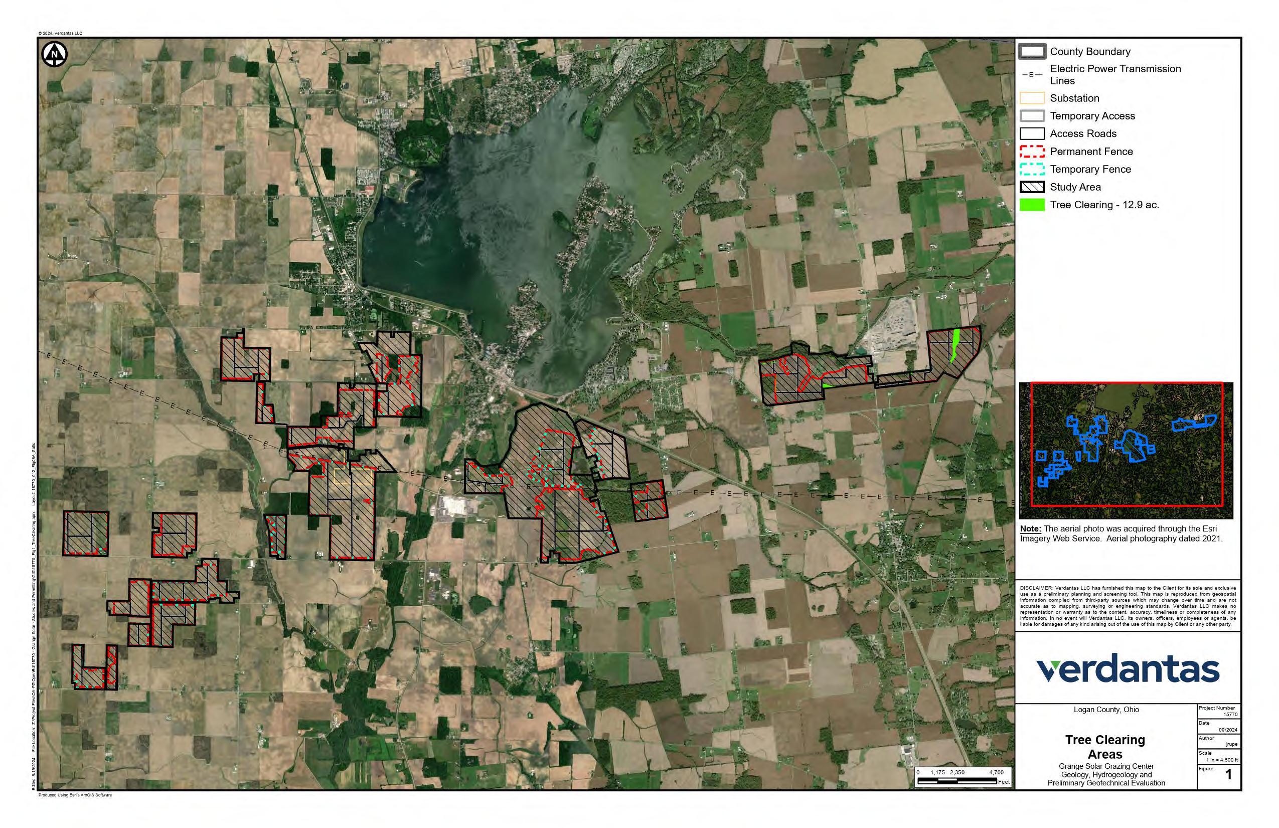
Agency Correspondence with ODNR

June 26, 2024
Emily Ott Verdantas
4 Hemisphere Way Bedford, Ohio 44146
Re: 24-0045_Grange Solar Project
Project: The proposed project involves a utility-scale solar facility, including photovoltaic (PV) solar arrays, access roads, underground and overhead utility lines, and an electric substation.
Location: The proposed project is located in Stokes, McArthur, Richland, Bloomfield, and Washington townships, Logan County, Ohio.
The Ohio Department of Natural Resources (ODNR) has completed a review of the above referenced project. These comments were generated by an inter-disciplinary review within the Department. These comments have been prepared under the authority of the Fish and Wildlife Coordination Act (48 Stat. 401, as amended; 16 U.S.C. 661 et seq.), the National Environmental Policy Act, the Coastal Zone Management Act, Ohio Revised Code and other applicable laws and regulations. These comments are also based on ODNR’s experience as the state natural resource management agency and do not supersede or replace the regulatory authority of any local, state, or federal agency nor relieve the applicant of the obligation to comply with any local, state, or federal laws or regulations.
Natural Heritage Database: The Natural Heritage Database has the following data at or within one mile of the project area:
Eastern Hellbender (Cryptobranchus alleganiensis), E Lake Chubsucker (Erimyzon sucetta), T Elktoe (Alasmidonta marginata), SC Bald Eagle nest
Conservation status abbreviations are as follows: E = state endangered; T = state threatened; P = state potentially threatened; SC = state species of concern; SI = state special interest; U = state status under review; X = presumed extirpated in Ohio; FE = federally endangered, and FT = federally threatened. The review was performed on the specified project area as well as an additional one-mile radius. Records searched date from 1980. Features searched include locations of rare and endangered plants and animals determined to be of value to the conservation of their species, high quality plant communities, animal breeding assemblages, and outstanding geological features
Please note that Ohio has not been completely surveyed and we rely on receiving information from many sources Therefore, a lack of records for an area is not a statement that rare species or unique features are absent from that area
Office of the Director • 2045 Morse Road • Columbus, Ohio 43229 • ohiodnr.gov Office of Real Estate Tara Paciorek, Chief 2045 Morse Road – Bldg. E-2 Columbus, Ohio 43229 Phone: (614) 265-6661 Fax: (614) 267-4764

Fish and Wildlife: The Division of Wildlife (DOW) has the following comments.
The DOW recommends that impacts to streams, wetlands and other water resources be avoided and minimized to the fullest extent possible, and that Best Management Practices be utilized to minimize erosion and sedimentation.
The project is within the vicinity of records for the Indiana bat (Myotis sodalis), a state endangered and federally endangered species Because presence of state endangered bat species has been established in the area, summer tree cutting is not recommended, and additional summer surveys would not constitute presence/absence in the area However, limited summer tree cutting inside this buffer may be acceptable after further consultation with DOW (contact Eileen Wyza at Eileen.Wyza@dnr.ohio.gov).
In addition, the entire state of Ohio is within the range of the Indiana bat (Myotis sodalis), a state endangered and federally endangered species, the northern long-eared bat (Myotis septentrionalis), a state endangered and federally endangered species, the little brown bat (Myotis lucifugus), a state endangered species, and the tricolored bat (Perimyotis subflavus), a state endangered species During the spring and summer (April 1 through September 30), these bat species predominately roost in trees behind loose, exfoliating bark, in crevices and cavities, or in the leaves However, these species are also dependent on the forest structure surrounding roost trees. The DOW recommends tree cutting only occur from October 1 through March 31, conserving trees with loose, shaggy bark and/or crevices, holes, or cavities, as well as trees with DBH ≥ 20 if possible.
The DOW also recommends that a desktop habitat assessment is conducted, followed by a field assessment if needed, to determine if a potential hibernaculum is present within the project area. Direction on how to conduct habitat assessments can be found in the current USFWS “RANGE-WIDE INDIANA BAT & NORTHERN LONG-EARED BAT SURVEY GUIDELINES.” If a habitat assessment finds that a potential hibernaculum is present within 0.25 miles of the project area, please send this information to Eileen Wyza for project recommendations. If a potential or known hibernaculum is found, the DOW recommends a 0.25-mile tree cutting and subsurface disturbance buffer around the hibernaculum entrance, however, limited summer or winter tree cutting may be acceptable after consultation with the DOW. If no tree cutting or subsurface impacts to a hibernaculum are proposed, this project is not likely to impact these species.
The project is within the range of the rayed bean (Villosa fabalis), a state endangered and federally endangered mussel. This project must not have an impact on native mussels. This applies to both listed and non-listed species, as all species of mussel are protected in Ohio Per the Ohio Mussel Survey Protocol (2022), all Group 2, 3, and 4 streams (Appendix A) require a mussel survey Per the Ohio Mussel Survey Protocol, Group 1 streams (Appendix A) and unlisted streams with a watershed of 5 square miles or larger above the point of impact should be assessed using the Reconnaissance Survey for Unionid Mussels (Appendix B) to determine if mussels are present Mussel surveys may be recommended for these streams as well Therefore, if in-water work is planned in any stream that meets any of the above criteria, the DOW recommends the applicant provide information to indicate no mussel impacts will occur If this is not possible, the DOW recommends a professional malacologist conduct a mussel survey in the project area If mussels that cannot be avoided are found in the project area, the DOW recommends a professional malacologist collect and relocate the mussels to suitable and similar habitat upstream of the project site Mussel surveys and any subsequent mussel relocation should be done in accordance with the Ohio Mussel Survey Protocol If there is no in-water work proposed, impacts to mussels are not likely.
The DOW recommends no in-water work in perennial streams from March 15 through June 30 to reduce impacts to indigenous aquatic species and their habitat If no in-water work is proposed in a perennial stream, this project is not likely to impact these or other aquatic species.
The project is within the range of the eastern massasauga (Sistrurus catenatus), a state endangered and a federally threatened snake species. The eastern massasauga uses a range of habitats including wet prairies, fens, and other wetlands, as well as drier upland habitat Due to the location, the type of habitat within the project area, and the type of work proposed, this project is not likely to impact this species.
The project is within the range of the spotted turtle (Clemmys guttata), a state threatened species. This species prefers fens, bogs, and marshes, but is also known to inhabit wet prairies, meadows, pond edges, wet woods, and the shallow sluggish waters of small streams and ditches Due to the location, the type of habitat within the project area, and the type of work proposed, this project is not likely to impact this species.
The project is within the range of the northern harrier (Circus hudsonius), a state endangered bird This is a common migrant and winter species Nesters are much rarer, although they occasionally breed in large marshes and grasslands. Harriers often nest in loose colonies The female builds a nest out of sticks on the ground, often on top of a mound. Harriers hunt over grasslands If this type of habitat will be impacted, construction should be avoided in this habitat during the species’ nesting period of April 15 through July 31 If this habitat will not be impacted, this project is not likely to impact this species.
The project is within the range of the sandhill crane (Antigone canadensis), a state threatened species. Sandhill cranes are primarily a wetland-dependent species. On their wintering grounds, they will utilize agricultural fields; however, they roost in shallow, standing water or moist bottomlands. On breeding grounds, they require a rather large tract of wet meadow, shallow marsh, or bog for nesting. If grassland, prairie, or wetland habitat will be impacted, construction should be avoided in this habitat during the species’ nesting period of April 1 through August 31. If this habitat will not be impacted, this project is not likely to have an impact on this species.
Due to the potential of impacts to federally listed species, as well as to state listed species, we recommend that this project be coordinated with the US Fish & Wildlife Service.
Geological Survey: The Division of Geological Survey has the following comments.
The project area is in Stokes, Bloomfield, Washington, McArthur and Richland townships, Logan County. The groundwater vulnerability in the project area ranges from 114 to 164 with the highest ratings on the north side of the project area near Indian Lake (Nelson and Others, 2022). This equates to a moderate to high susceptibility rating (OEPA, 2014). The construction of this facility is not expected to pose a significant groundwater contamination risk.
Bedrock aquifer yields are plentiful throughout the project area. Wells developed in the underlying Silurian limestone and dolomite bedrock are likely to yield 25 to over 100 gallons per minute (Schmidt, 1983 and Ohio Department of Natural Resources, Division of Water, Bedrock Aquifer Map, 2000). Wells developed in the unconsolidated material are likely to yield 5 to 25 gallons per minute in the Jackson Center Complex Aquifer and up to 500 gallons per minute in the Miami River Buried Valley Aquifer (Ohio Department of Natural Resources, Division of Water, Statewide Unconsolidated Aquifer Map, 2000).
ODNR has record of 924 water wells drilled within one mile of the project area. These wells range in depth from 10 to 405 feet, with an average depth of 114 feet. The most common aquifer listed is sandand-gravel. Sustainable yields of 2 to 402 gallons per minute have been reported for 507 wells within one
mile of the project area, with the average sustainable yield being 35 gallons per minute (Ohio Department of Natural Resources, Division of Geological Survey, Ohio Water Wells).
ODNR has record of 40 oil and gas wells within one mile of the proposed project area. Three were field inspected and not found, six are listed as final restoration, two are listed as orphaned wells, six are plugged and abandoned, twenty have an unknown status and three are listed as active gas wells (Ohio Department of Natural Resources, Division of Oil and Gas, Ohio Oil and Gas Wells Locator).
ODNR had record of three surface affected area mines and two past surface affected area mines within one mile of the project area. The past mines are listed as sand and gravel mines, which have been released. The three current surface affected areas are listed as disturbed. Surface affected areas IM-454, IM-0453, and IM-887, are owned by C.E. Duff & Son Inc., and Duff Quarry, Inc. The past surface affected areas are owned by Williams Excavating, Co., and Douglas Kneedler, IM-0892 and IM-0869 (Ohio Department of Natural Resources, Division of Mineral Resources, Mines of Ohio).
Geohazards
ODNR has record of 28 earthquakes within 15-miles of the project area. Details regarding these events are listed in the table below (Ohio Department of Natural Resources, Division of Geological Survey, Ohio Earthquake Epicenters).
Dinsmore
October 27, 1928
March 8, 1929
June 26, 1930
June 27, 1930
September 29, 1930
March 21, 1931
April 1, 1931
October 9, 1931
February 23, 1933 3.3
July 9, 1939
March 18, 1939
March 18, 1939
June 18, 1939
January 27, 1956
January 27, 1956
July 26, 1968
July 5, 1983
October 22, 1988 2.2
Shelby Jackson
Shelby Dinsmore
Auglaize Clay
Auglaize Clay
Shelby Clinton
Shelby Dinsmore
Logan Bloomfield
Shelby Dinsmore
Shelby Dinsmore
Logan Miami
Shelby Salem
Shelby Jackson
Logan Miami
Logan Stokes
Shelby Dinsmore
Shelby Dinsmore
Shelby Jackson
Shelby Dinsmore
Karst
Karst features usually form in areas that are covered by thin or no glacial drift and the bedrock is limestone or dolomite. The nearest verified sinkhole is located 1.2 miles to the southeast. Although there are no sinkholes in the project area, the underlying limestone and dolomite formations in the project area are susceptible to the formation of sinkholes (Ohio Department of Natural Resources, Division of Geological Survey, Ohio Karst).
Drift is variable across the project area. Drift is thinnest on the eastern side of the project area in McArthur Township (7 feet) and drift is thickest along the western side of the project area in Bloomfield Township (300 feet) (Powers and Swinford, 2004). The uppermost bedrock unit is variable across the project area. In general, the bedrock is made of Silurian dolomites and limestones. The primary bedrock units which make up the uppermost bedrock across the project area are Salina Undifferentiated, Tymochtee Dolomite, Greenfield Dolomite and Lockport Dolomite (Ohio Department of Natural Resources, Division of Geological Survey, Bedrock Geology Map of Ohio).
The project area consists primarily of soils derived from glaciolacustrine deposits and till. Latty, Nappanee, Blount are the most common soil series found within the boundaries of the project area. These soils have a silty clay, clay loam, and silt loam textures and together cover over 54% of the project area. Shrink swell potential in these soils ranges from moderate to high. The Latty Soil which makes up approximately 48% of the project area is a hydric soil and is frequently ponded from December through May (USDA Web Soil Survey).
Water Resources: The Division of Water Resources has the following comment.
The local floodplain administrator should be contacted concerning the possible need for any floodplain permits or approvals for this project.
ODNR appreciates the opportunity to provide these comments. Please contact Mike Pettegrew at mike.pettegrew@dnr.ohio.gov if you have questions about these comments or need additional information.
Mike
Pettegrew
Environmental Services Administrator
Representative Photographs

crops
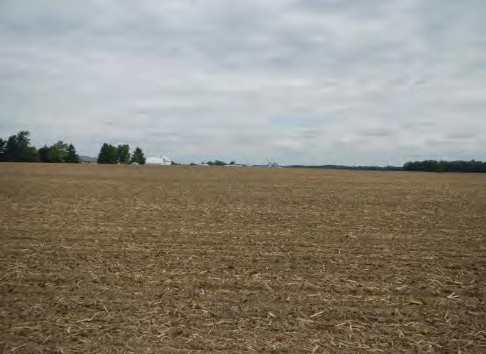
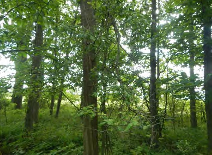
the Ecological Study Area, facing north.
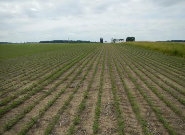
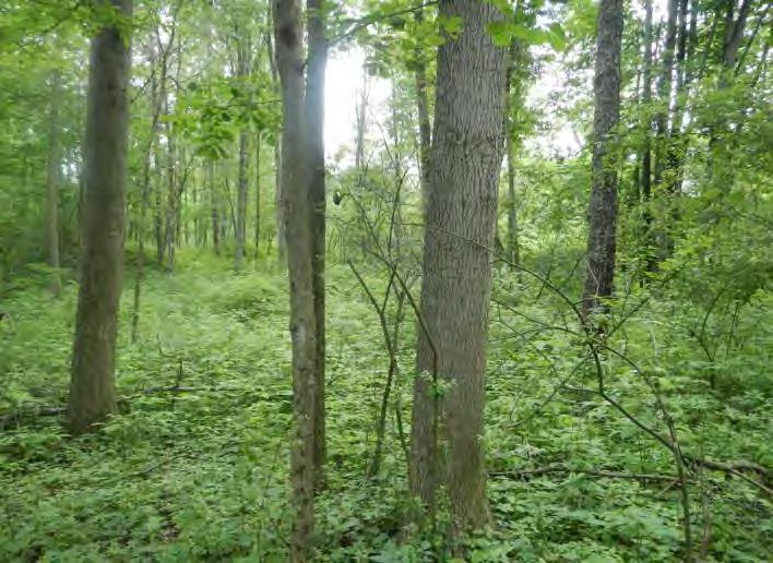

Field-Verified Land Cover, Habitat, and Wildlife Photographs
June 14 & 25, 2024

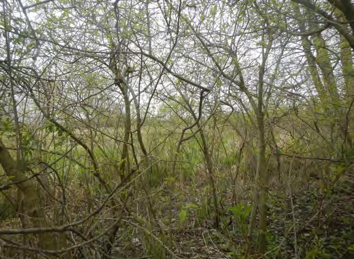
5:
open space land cover within the Ecological Study Area, facing southwest.
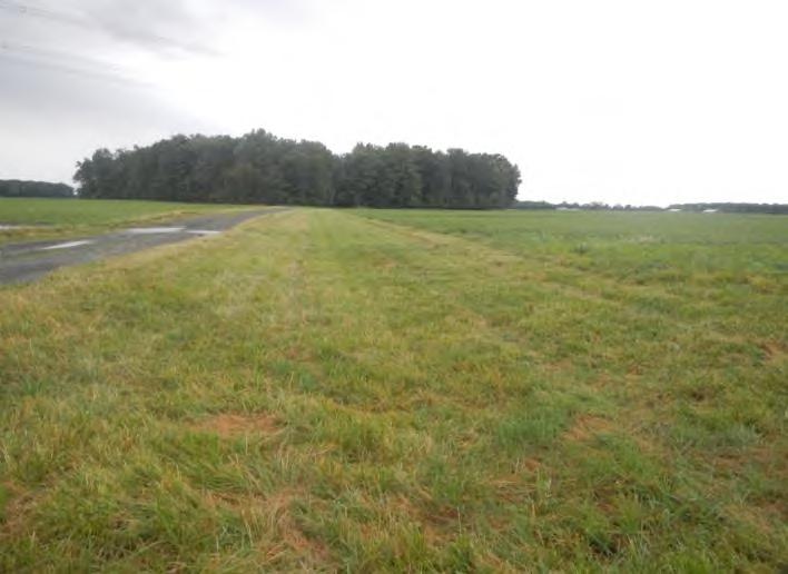
Study Area, facing west.
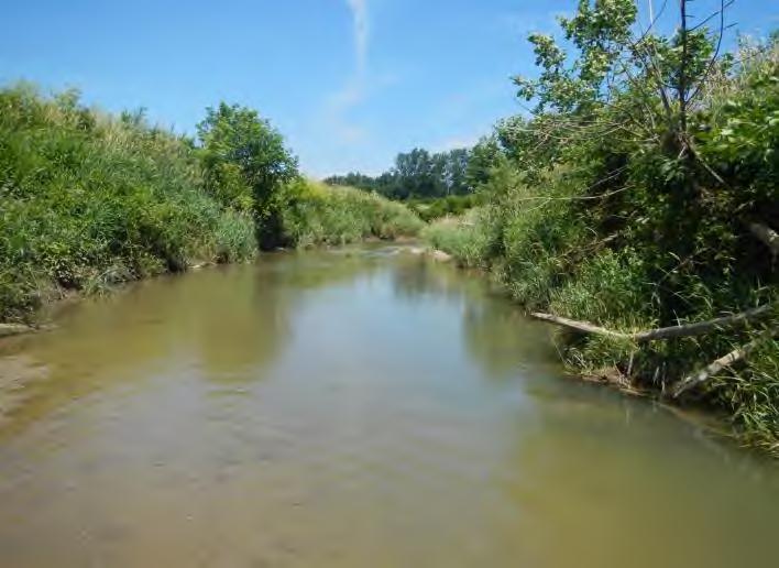

Field-Verified Land Cover, Habitat, and Wildlife Photographs
Ecological Study Area, facing north.
June 14 & 25, 2024

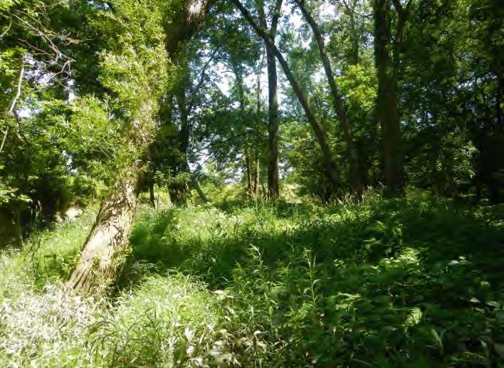
within the Ecological Study Area, facing east.
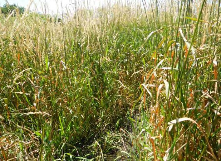
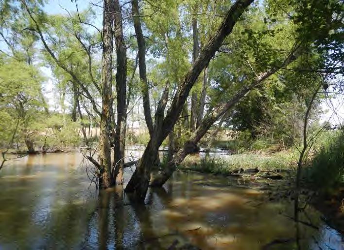

Field-Verified Land Cover,
and Wildlife Photographs
Study Area, facing south.
June 14 & 25, 2024
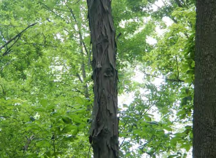
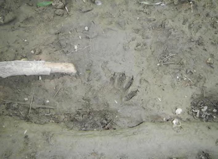
13: Representative PRT within deciduous forest within the Ecological Study Area.
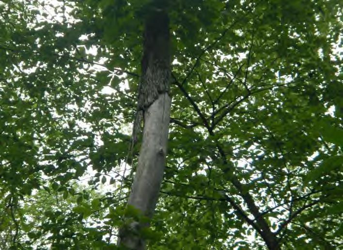
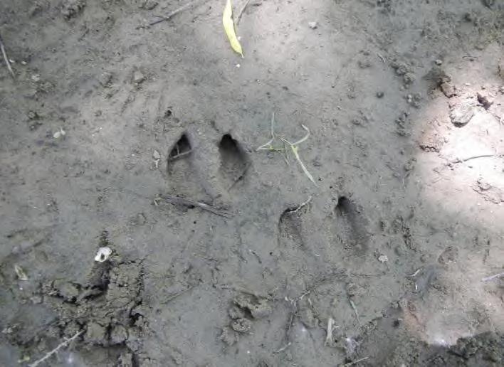

Ecological Study Area.
June 14 & 25, 2024
Appendix F
Comprehensive List of Wildlife Encountered During Field Surveys

Table 6
Comprehensive List of Wildlife Observations Within the Ecological Study Area
Common Name (Scientific Name)
Mammals
Frequency Observed1
Raccoon (Procyon lotor ) Commonly
Eastern grey squirrel (Sciurus carolinensis ) Commonly
Eastern fox squirrel (Sciurus niger ) Commonly
Virginia opossum (Didelphis virginiana ) Rarely
White-tailed deer (Odocoileus virginiaus ) Occasionally
Groundhog (Marmota monax ) Rarely
Eastern cottontail rabbit (Sylvilagus floridanus ) Occasionally
Eastern chipmunk (Tamias striatus ) Commonly
Deer mouse (Peromyscus maniculatus ) Occasionally
Eastern coyote (Canis latrans ) Rarely
Meadow vole (Microtus pennsylvanicus ) Rarely
Birds
House sparrow (Passer domesticus ) Commonly
Red-bellied woodpecker (Melanerpes carolinus ) Rarely
Killdeer (Charadrius vociferus ) Commonly
American Robin (Turdus migratorius ) Commonly
Carolina wren (Thryothorus ludovicianus ) Commonly
Turkey vulture (Cathartes aura ) Commonly
Red-winged blackbird (Agelaius phoeniceus ) Commonly
Northern cardinal (Cardinalis cardinalis ) Occasionally
Blue jay (Cyanocitta cristata ) Occasionally
Mourning dove (Zenaida macroura ) Occasionally
America Crow (Corvus brachyrhynchos ) Commonly
American goldfinch (Spinus tristis ) Rarely
House wren (Troglodytes aedon ) Rarely
Great blue heron (Ardea herodias ) Occasionally
Green heron (Butorides virescens ) Rarely
Osprey (Pandion haliaetus ) Rarely
Common Grackle (Quiscalus quiscula ) Commonly
Canada Goose (Branta canadensis ) Commonly
Indigo bunting (Passerina cyanea ) Rarely
Mallard duck (Anas platyrhynchos ) Commonly
Gray catbird (Dumetella carolinensis ) Rarely
Eastern wood peewee (Contopus virens ) Rarely
Warbling vireo (Vireo gilvus ) Rarely
Yellow warbler (Setophaga petechia ) Occasionally
European starling (Sturnus vulgaris ) Commonly
Downy woodpecker (Dryobates pubescens ) Rarely
American kestrel (Falco sparverius ) Rarely
Double-crested cormorant (Phalacrocorax auritus ) Rarely
Hooded merganser (Lophodytes cucullatus ) Rarely
American tree sparrow (Spizelloides arborea ) Commonly
White-throated sparrow (Zonotrichia albicollis ) Occasionally
Song sparrow (Melospiza melodia ) Occasionally
Hairy woodpecker (Leuconotopicus villosus ) Rarely
Black-capped chickadee (Poecile atricapillus ) Occasionally
Red-tailed hawk (Buteo jamaicensis ) Commonly
*Sandhill crane (Grus canadensis ) Rarely
*Northern harrier (Circus hudsonius ) Rarely
*Bald eagle (Haliaeetus leucocephalus ) Rarely
Reptiles/Amphibians
American toad (Anaxyrus americanus ) Commonly
Red eared slider (Trachemys scripta elegans ) Occasionally
Painted turtle (Chrysemys picta ) Rarely
Eastern snapping turtle (Chelydra serpentina ) Rarely
Green frog (Lithobates clamitans ) Occasionally
Northern Leopard frog (Rana pipiens ) Occasionally
American Bull frog (Lithobates catesbeianus ) Occasionally
1Qualitative designation of occasionally, commonly, or rarely based on frequency of encounters during field surveys.
*Special status species
Summary of Special Status Species with the Potential to Occur in the Vicinity of the Study Area

Summary of Special Status Species with the Potential to Occur in the Vicinity of the Study Area
Common Name (Scientific Name) Listing Status1
Amphibians
Eastern hellbender
Cryptobranchus alleganiensis
Birds
Bald eagle
Haliaeetus leucocephalus
Preferred Habitat Summary
SE Southern and eastern Ohio; large, swift flowing streams and rivers with large rocks for shelter.
BGEPA Marshes, swamps, and river systems throughout Ohio. Generally found nesting within two miles of large bodies of water supporting food sources.
Potentially Suitable Habitat in Study Area?
Habitat Comments
Black-billed cuckoo
Coccyzus erythropthalmus SC
Wooded habitats, including buffer strips/hedgerows and edges. Uses upland habitat for foraging, but is also found near streams, ponds, and other sources of water. Nests in saplings and shrubs in dense vegetation.
Bobolink SC Hayfields and pastures, wet prairies, and grassy margins of marshes for foraging and nesting. Fallow fields are also suitable.
No ODNR: The Natural Heritage Database found known records for this species within one mile of the Study Area.
Potential habitat exists within the Great Miami River, adjacent to the Study Area.
Yes ODNR: The Natural Heritage Database has the following data at or within one mile of the Study Area:
Bald eagle nest.
Potential habitat exists within deciduous forest woodlots. One active eagle nest was observed adjacent to the Study Area and two additional potential eagle nests were observed in the vicinity of the Study Area.
Yes Potential habitat exists within deciduous forest woodlots, tree lines, and riparian corridors.
Yes Potential habitat exists within grassland/herbaceous areas and emergent herbaceous wetlands.
Common Name (Scientific Name) Listing Status1
Dolichonyx oryzivorus
Cerulean warbler
Setophaga cerulea
Grasshopper sparrow
Ammodramus savannarum
Northern harrier
Circus hudsonius
Prothonotary warbler
Protonotaria citrea
Red-headed woodpecker
Melanerpes erythrocephalus
Preferred Habitat Summary Potentially Suitable Habitat in Study Area? Habitat Comments
SC Large, wooded tracts of 50-75 acres, avoiding isolated woodlots that are less than 20-25 acres for foraging and nesting. Habitat is rare in intensely farmed regions.
SC Hayfields, prairies, and grassland for foraging and nesting. Overgrown pastures and hayfields, as well as fields of various crops are also suitable for nesting. Dry fields and prairies, with tall grass, weeds, and scattered shrubs for breeding.
SE A common migrant and winter species, nesting harriers are rare. Occasionally breed in large marshes and grasslands and nest in loose colonies. The stick nest is built on the ground, often on top of a mound. Harriers hunt over grasslands.
SC Forests, woodlands, and wetlands. Nests in holes of hardwoods near borders of lakes, rivers, and ponds.
SC
Open wooded areas with oaks and hickories; Also along country roads, using utility poles as trees.
No
None
Yes Potential habitat exists within grassland/herbaceous areas and emergent herbaceous wetlands.
Yes
Yes
ODNR: The Project is within range of the northern harrier.
Potential habitat exists within grassland/herbaceous areas and emergent herbaceous wetlands.
Potential habitat exists within deciduous forest woodlots, riparian corridors, and woody wetlands.
Yes
Potential habitat exists within deciduous forest woodlots, tree lines, and riparian corridors.
Common Name (Scientific Name) Listing Status1
Sandhill crane
Antigone canadensis
Preferred Habitat Summary Potentially Suitable Habitat in Study Area?
ST Wetland-dependent species. When wintering, may use agricultural fields; however, they roost in shallow, standing water or moist bottomlands. Breeding habitat requires large wet meadows, shallow marshes, or bogs for nesting.
Yes
Fish
Lake chubsucker
Erimyzon sucetta
Mammals
Indiana Bat
Myotis sodalis
ST Found in mostly clear lakes, stillwater lakes, swamp like areas of lakes, and marshy streams with cobble, sand, boulder, mud, or silt bottoms.
Habitat Comments
ODNR: The project is within the range of the sandhill crane
Potential habitat exists within grassland/herbaceous areas and emergent herbaceous wetlands.
Little brown bat
Myotis lucifugus
SE, FE Winter hibernacula include caves or abandoned mines. Summer roosting habitat includes forests, woodlots, and wooded corridors containing potential roost trees (trees or snags at least five inches in DBH with cracks, crevices, exfoliating bark, or hollows). Foraging habitat includes forest stands, adjacent habitats including wetlands, field edges, old fields, pastures, and large tracts of early successional forest.
SE Hibernates in small rock crevices, caves, and mines from November to March. Females form large maternity colonies and males generally roost alone during the summer
No
ODNR: The Natural Heritage Database found known records for this species within one mile of the Study Area
Yes USFWS: Indiana bat and northern longeared bat occur throughout the State of Ohio. The Indiana bat and northern longeared bat may be found wherever suitable habitat occurs.
ODNR: The entire state of Ohio is within the range of the Indiana bat, northern long-eared bat, little brown bat, and tricolored bat.
Yes
Common Name (Scientific Name) Listing Status1 Preferred Habitat Summary
Northern longeared bat
Myotis septentrionalis
Tricolored bat
Perimyotis subflavus
months. Roosts can include buildings and tree hollows.
SE, FE Winter hibernacula include caves or abandoned mines. Summer roosting habitat for NLEB includes forests, woodlots, and wooded corridors containing potential roost trees (trees or snags at least three inches in DBH with cracks, crevices, exfoliating bark, or hollows). Foraging habitat includes forest stands, adjacent habitats such as wetlands, field edges, old fields, pastures, and large tracts of early successional forest.
SE, FPE Winter hibernacula include caves, abandoned mines, or tunnels. Summer roosting habitat for tricolored bat includes forests, woodlots, and wooded corridors containing potential roost trees (trees or snags at least four inches in DBH with suitable nesting substrates like dead leaves, Spanish moss, and beard lichen). Foraging habitat includes forest edges, and adjacent habitats like wetlands, field edges, old fields, and pastures.
Yes
Mollusks
Alasmidonta marginata
SC
Small rivers and large creeks in sand and cobble. According to the Freshwater Mussels of Ohio Field Guide (ODNR, 2022), there are post-1980 occurrence records in Logan County.
Yes USFWS: Indiana bat and northern longeared bat occur throughout the State of Ohio. The Indiana bat and northern longeared bat may be found wherever suitable habitat occurs
ODNR: The entire state of Ohio is within the range of the Indiana bat, northern longeared bat, little brown bat, and tricolored bat.
No ODNR: The Natural Heritage Database found known records for this species within one mile of the Study Area
Potential habitat exists within the Great Miami River, adjacent to Study Area.
Common Name (Scientific Name) Listing Status1
Rayed bean Villosa fabalis
SE, FE
Preferred Habitat Summary
Rivers, large creeks, and large lakes. According to the Freshwater Mussels of Ohio Field Guide (ODNR, 2022), there are post1980 occurrence records in Logan County.
No
Reptiles
Copperbelly water snake
Nerodia erythrogaster neglecta
Eastern Massasauga
Sistrurus catenatus
FT Inhabits shallow wetlands along the edges of larger grouped wetlands. Also utilizes uplands adjacent to wetlands.
Yes
Habitat Comments
ODNR: The project is within range of the rayed bean.
Potential habitat exists within the Great Miami River, adjacent to the Study Area.
Potential habitat exists within emergent herbaceous wetlands and adjacent upland areas.
Spotted turtle
Clemmys guttata
SE, FT Wet prairies, fens, other wetlands, and drier upland habitat. During summer, they prefer open areas that contain both grasses and forbs. During winter, hibernation is in low wet areas such as crayfish burrows. Travels between connected lowland and upland areas.
ST Fens, bogs, and marshes are its preferred habitats, although it also inhabits wet prairies, meadows, pond edges, wet woods, and the shallow sluggish waters of small streams and ditches.
Yes
Yes
USFWS: The project is in the range of the eastern Massasauga.
ODNR: The project is within range of the eastern Massasauga.
Potential habitat exists within emergent herbaceous wetlands.
ODNR: The project is within range of the spotted turtle.
Potential habitat exists within woody wetlands and emergent herbaceous wetlands.
1 FE = ESA-listed Endangered; FPE = ESA-proposed Endangered; FT = ESA-listed Threatened; SE = State-listed Endangered; ST = State-listed Threatened; SC = State Species of Concern; BGEPA = Bald and Golden Eagle Protection Act