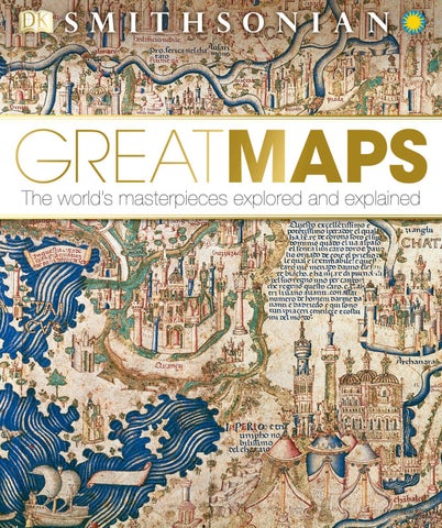
2 minute read
Lunar Landings Map

1969 PRINT 34½ IN × 35 IN (87 CM × 89 CM) GODDARD SPACE FLIGHT CENTER, GREENBELT, MARYLAND, USA
NASA
SCALE
With the advent of unmanned space travel, far more accurate maps of the Moon began to emerge than ever before. These are the culmination of centuries of selenography, the science of the study and mapping of the Moon, which stretches back at least to the early 17th century, when scientists such as Galileo started to map the lunar surface with the aid of telescopes. In 1651, the Jesuit priest and astronomer Giovanni Battista Riccioli not only mapped the Moon, but he also named many of its features in Latin. The English translations of many of Riccioli’s names, such as the Sea of Tranquility (Mare Tranquillitatis), are still used.
Throughout the 1960s, as it prepared the Apollo lunar landing program, the US space agency NASA developed the Lunar Earthside Mosaic, a composite lunar lithographic map created from photographs taken from various observatories. First published in 1960 on a scale of 1:5,000,000, it used a projection (called orthographic) and was continuously updated, culminating in this 1969 edition on a scale of 1:2,500,000. Used to trace various subsequent Moon landings, it shows the enduring fascination of extraterrestrial mapping.
Visual tour

2 4
3
KEY
1
1
1 SEA OF TRANQUILITY Riccioli mistook the Moon’s vast, dark plains for seas, naming this one “Tranquility.” It achieved immortality as the landing site of Apollo 11 in July 1969, with Neil Armstrong’s words, “Houston, Tranquility Base here. The Eagle has landed.” ON TECHNIQUE
The lunar map photographs of the 1960s have been superseded by more sophisticated techniques. In 1994, the US Clementine lunar mission created a topographic map of the near and far sides of the Moon using lasers to capture height and surface relief, revealing previously hidden craters and basins. Since 2009, NASA’s Lunar Reconnaissance Orbiter has been circling just 30 miles (50 km) above the Moon, capturing data to make a three-dimensional map of its surface in order to locate possible future landing sites, and find potential lunar resources. The latest maps released have a resolution of 330 ft (100 m) per pixel.
1 The lunar probe Clementinecaptured these images of the Moon, showing variation in topography using the colored scale bar.
2
2 OCEAN OF STORMS Riccioli referred to the larger lunar basins as oceans. At 4 million sq km (1½ million sq miles), this one is the Moon’s largest. Astronomers speculate that it was created by the impact of a giant meteor. In November 1969, it was the landing site for Apollo 12.
3
1 FRA MAURO HIGHLANDS This crater and surrounding highlands, the landing site for Apollo 14 in 1971, was named after the 15th-century Venetian mapmaker (see pp.72–75). Fra Mauro’s map showed both the Earth and the heavens. 4
1 COPERNICUS CRATER East of the Ocean of Storms lies a crater Riccioli named after Renaissance astronomer Nicolaus Copernicus. Perhaps Riccioli was wittily condemning Copernicus’s heliocentric model of the universe to perpetual storms, or perhaps, as some historians have speculated, putting Copernicus on the lunar map was Riccioli’s way of showing his tacit acceptance of his views.