MArch Studio 3: Hole in the Ground; Line in the Water
ARCHITECTURE STUDIO 3
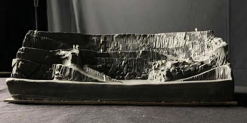
I found the landscape studio to be immensely rewarding. The unfamiliar scale and medium of the site - a quarry and breakwater in Rockport, MA - spurred in me excitement for the material. My professors encouraged me to utilize what feels most comfortable to me - my ability to sketch and use clay to communicate design intent.
The semester was broken up into two projects. In the first 8 weeks, each student was assigned a quarry. They had freedom to choose their own program and scale, however, they were only permitted to excavate in order to achieve said program.
The second half of the semester brought a change of site and instead of taking away material, the students were to use the theoretically excavated material from the quarry to build a breakwater off of the coast of Rockport.
HOLE IN THE GROUND : LINE IN THE WATER HOLE IN THE GROUND : LINE IN THE WATER
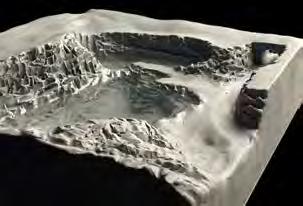
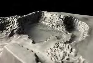
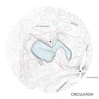
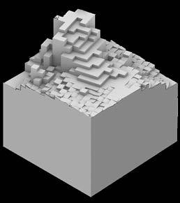
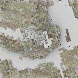
HOLE IN THE GROUND
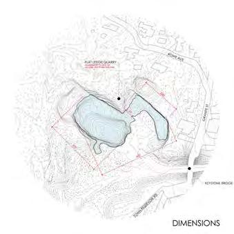
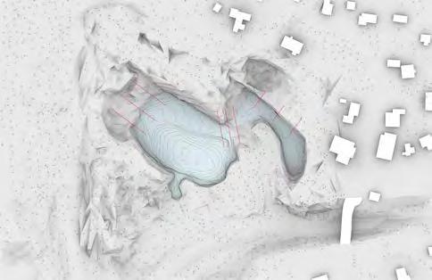
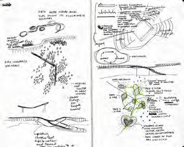
SITE ANALYSIS
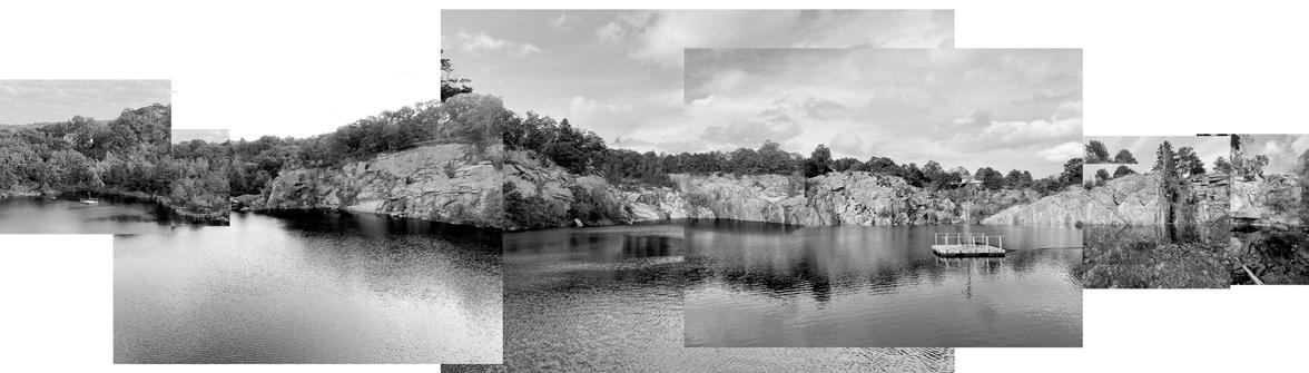
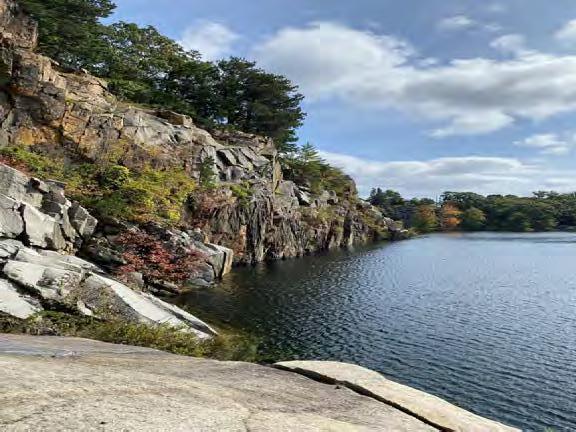
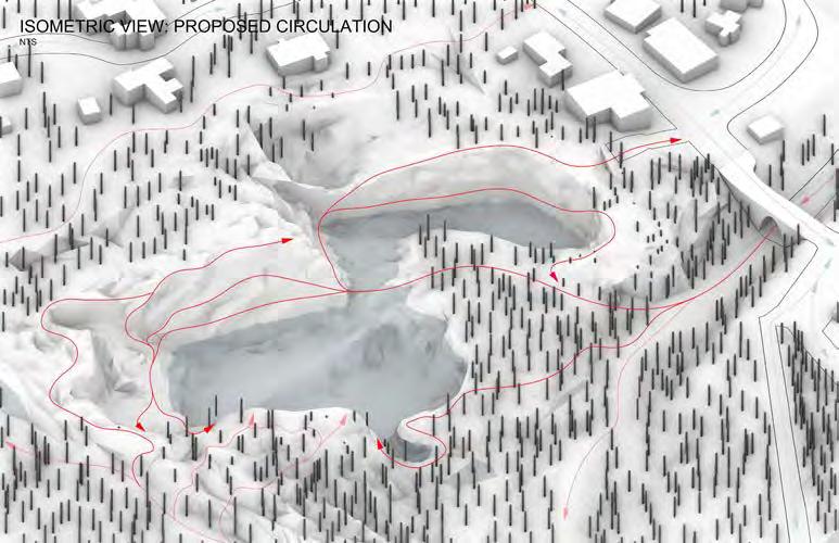
The quarry I was assigned is conveniently located to the nearby docks and serves as a reservoir. You are not permitted to swim in the quarry as it provides drinking water to the area. There are walking paths that surround the quarry, but don’t allow for a more direct loop and its access to the water’s edge is limited.
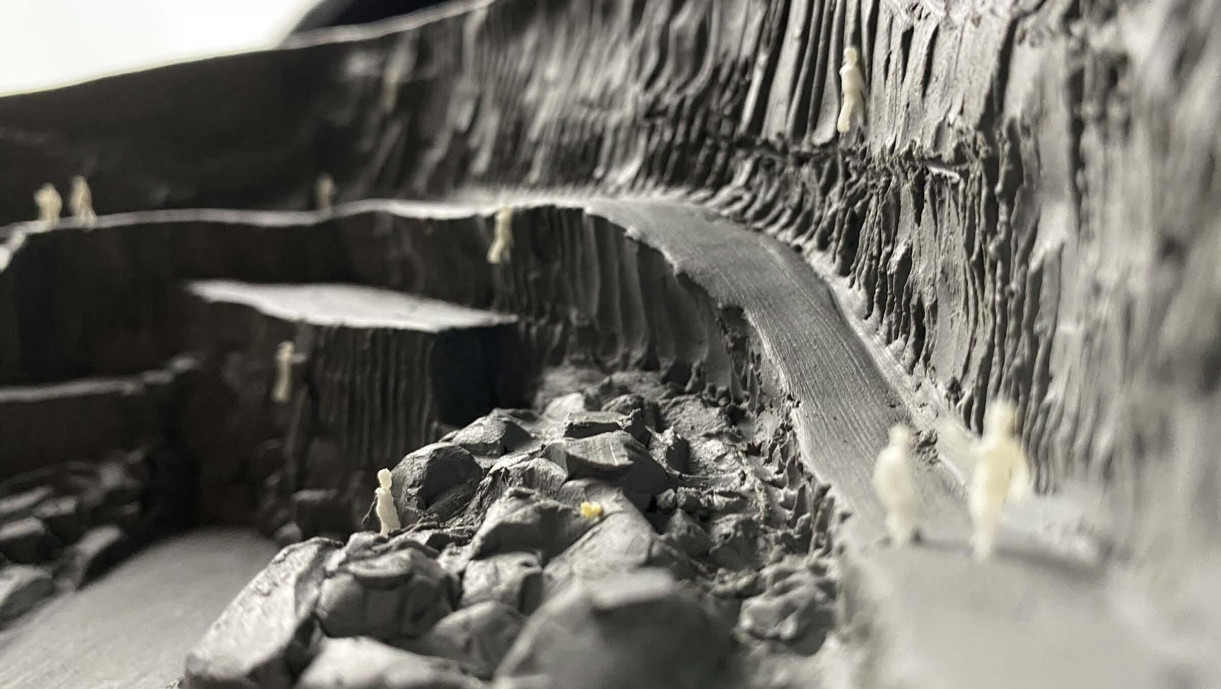
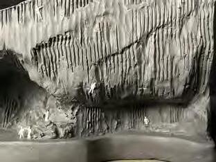
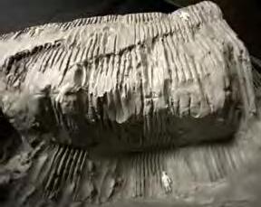
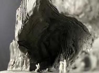
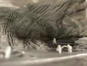
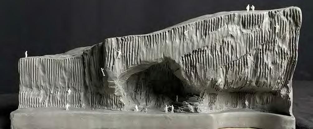
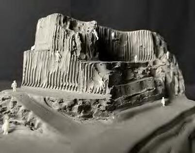
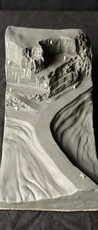
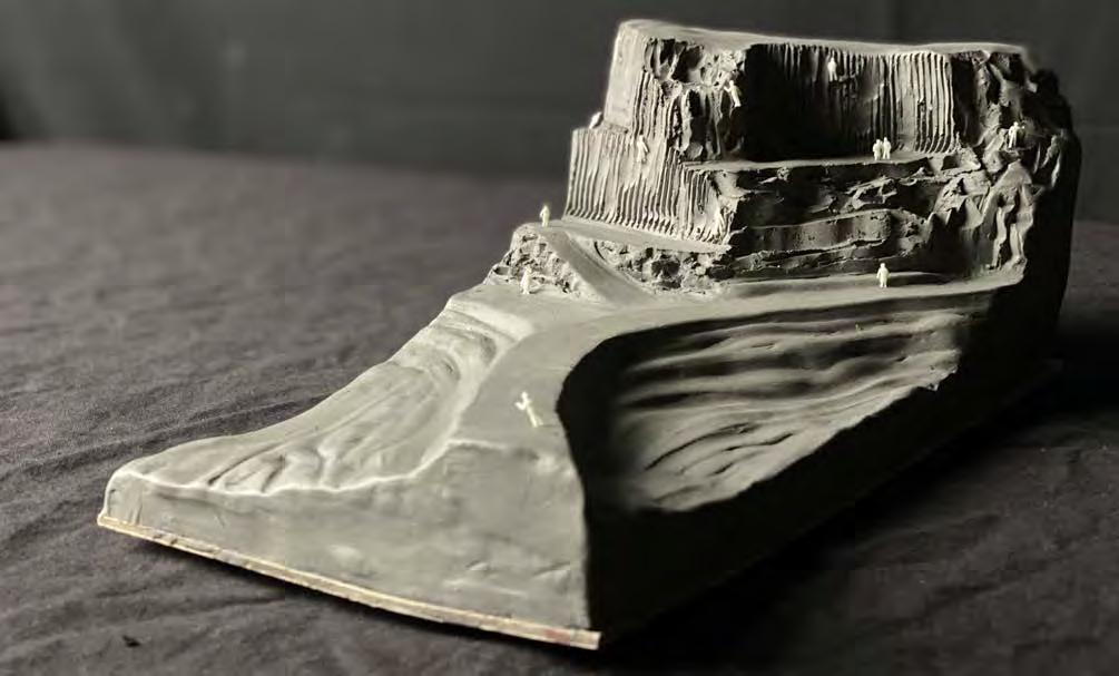
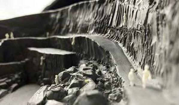
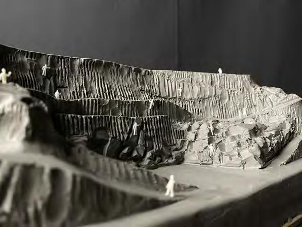
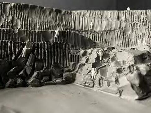
I sculpted the site model using clay which allowed me to better conceptualize the site moving forward.
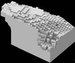
HOLE IN THE GROUND PROGRAM
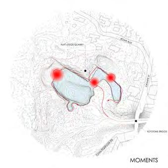
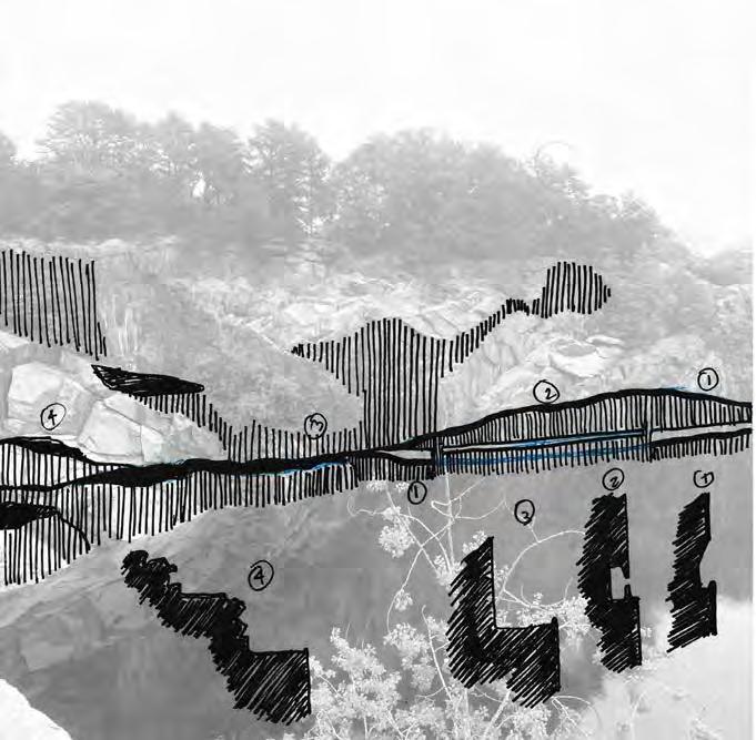
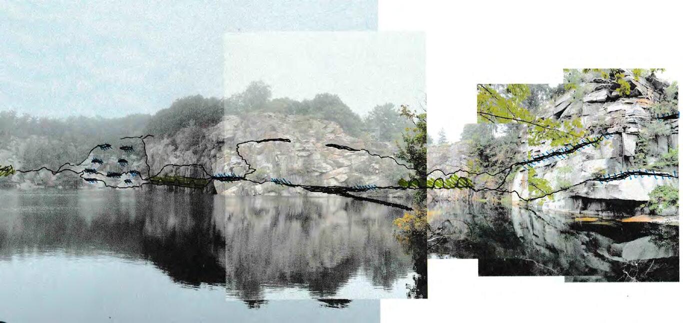
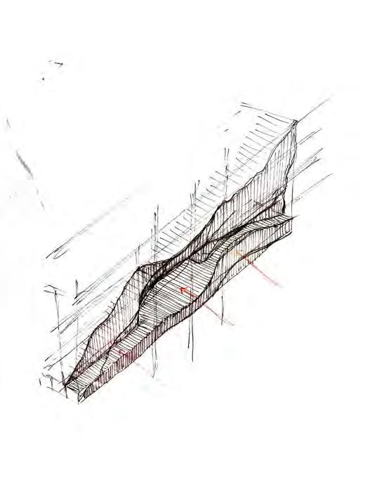
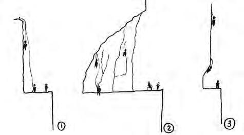
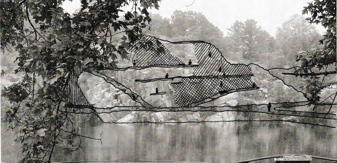
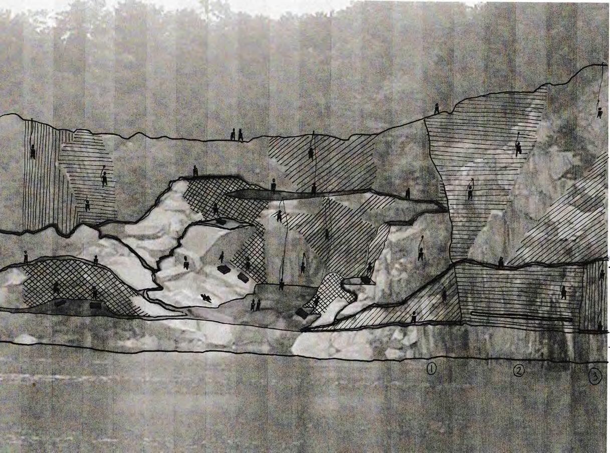
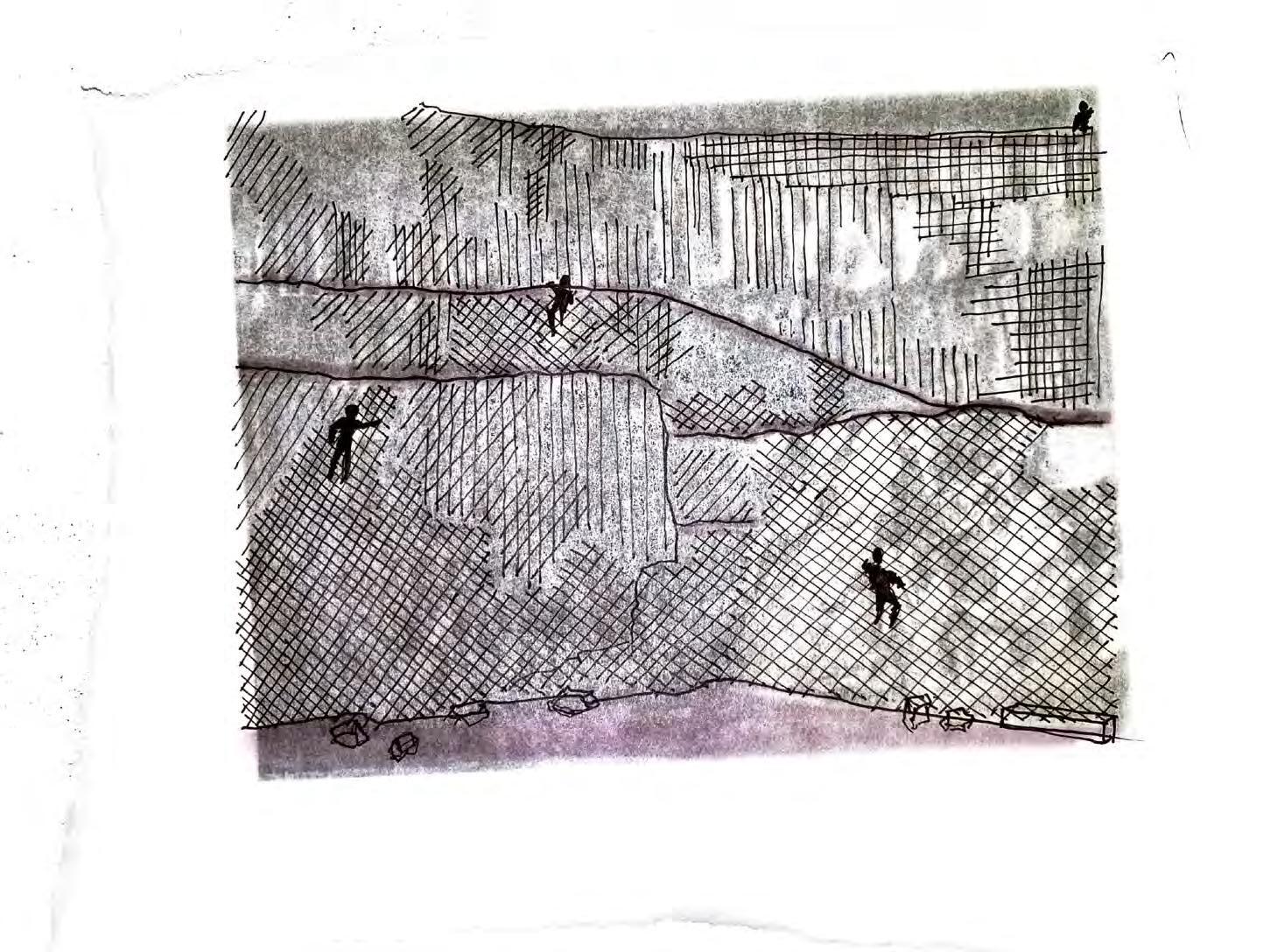
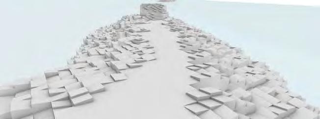
It was important to maintain the site’s natural sense of serenity. I wanted my project to blend with the immediate rock face, to have as light a touch as possible. I proposed a rock climbing program and improved trails network. This would allow more accessibility on and off the site as well as more engagement at the edge of the water. I selected three moments within the quarry and sketched over elevations to test what kind of path profiles would yield different programmatic elements and to better identify specific moments the intervention would have.
HOLE IN THE GROUND
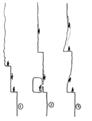
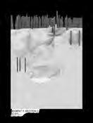
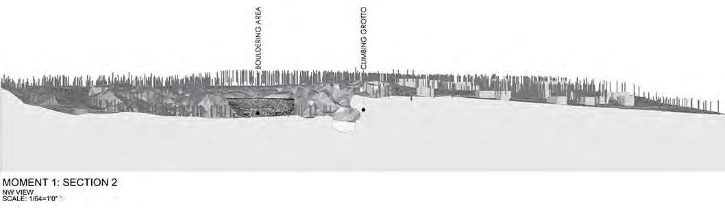
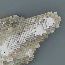
MOMENT 1
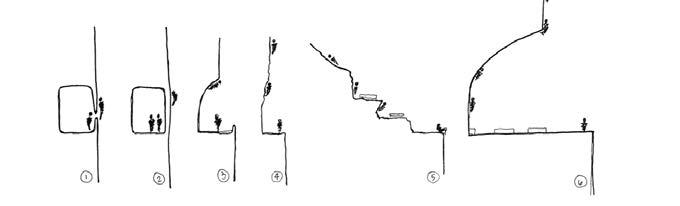
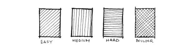
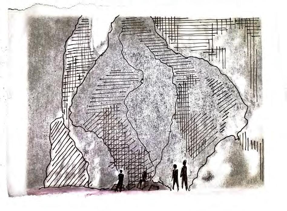
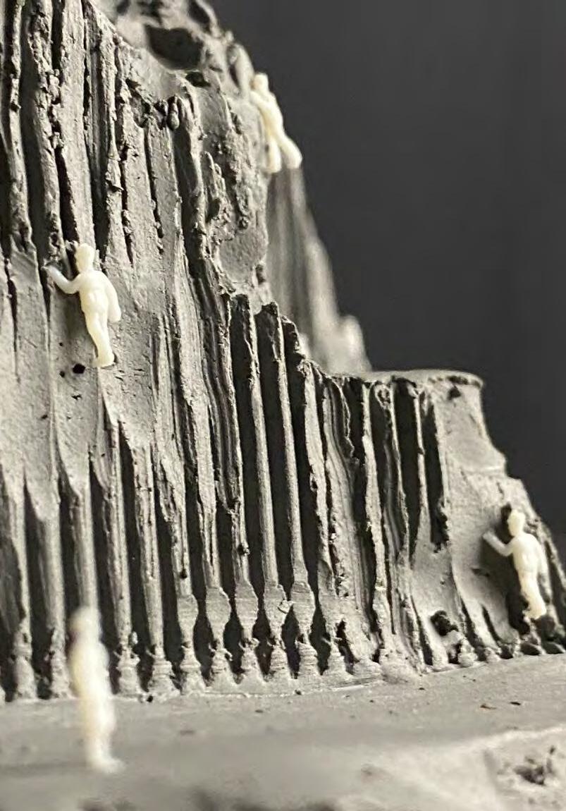
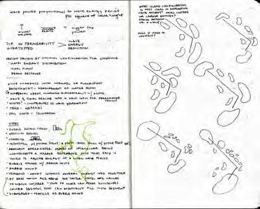
The rock climbing programming would show three different levels of difficulty. However, instead of different colored pegs, the rock would be carved into using different patterns. This differentiation in pattern would indicate level of difficulty as well as were those paths overlap. Untouched rock is not intended for climbing and there are specified boldering areas for non-harness climbers.
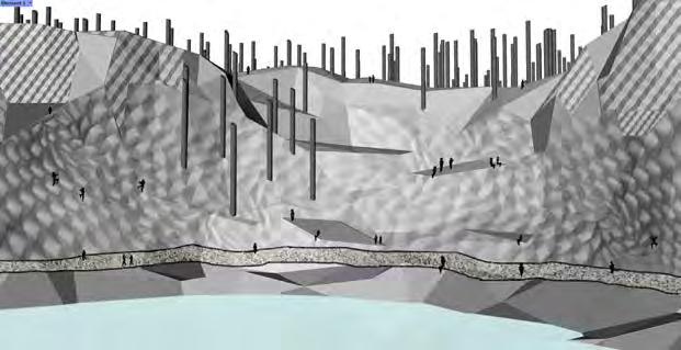
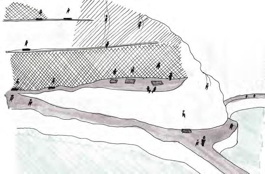
Once I established this system, I identified three different moments with different programmatic significance. The first area is the Climbing Grotto. This area carves deep into the side of the cliff offering a semi-indoor climbing experience. This area is for congregating, warming up, lessons, and introductions. The verticle paths very in difficulty and there are many options so others can hone their skill before taking on other parts of the quarry.
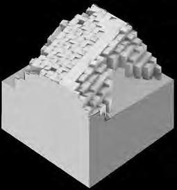
HOLE IN THE GROUND
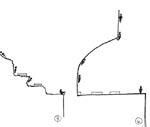
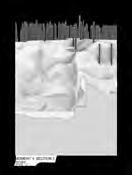
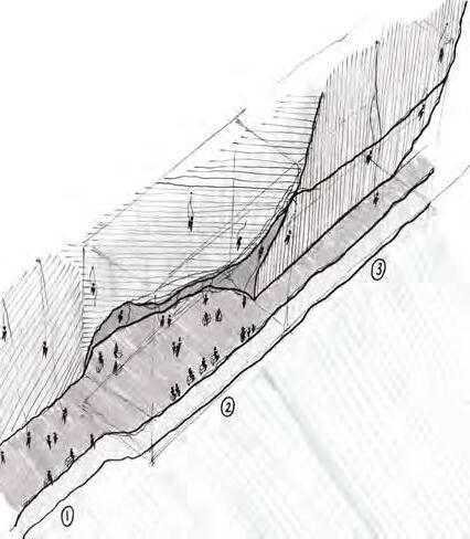
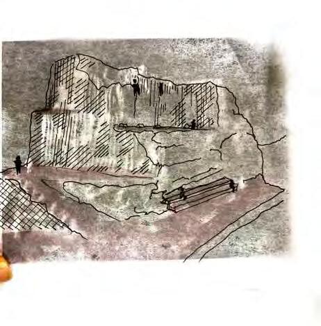
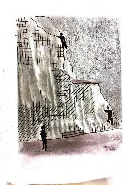
The second moment is actually the first area you pass on your way to the climbing grotto. As you cross the circulation bridge that brings you from one side of the embankment to another, you are met with a series of lower profile climbs. There is space for boldering, free-climbing, and picnic tables for sitting. This area is the gateway to the rest of the rockclimbing side of the quarry and many diverging paths meet at its feet.
HOLE IN THE GROUND
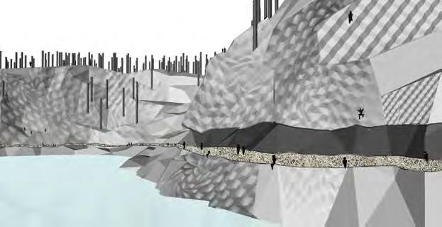
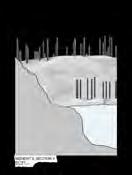
The third moment is on the north west side of the quarry and is referred to as the Boldering Area. These low slung climbing paths are outlined by the zigzagging walking paths that allow for varied modes of mobility. The scale of the bottom tear allows for lounging, picnic table sitting, and resting in between climbs. The open breadth of this space and the U-shaped pathways allow for observation of other climbers so you are always aware if you are in someone’s line of movement or if someone should need assistance. It fosters safety and knowledge and climbers will look out for one another.
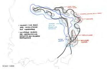
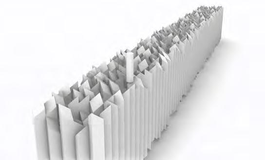
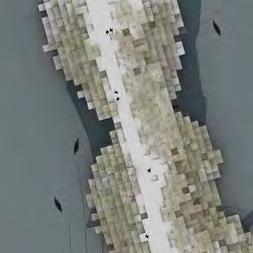
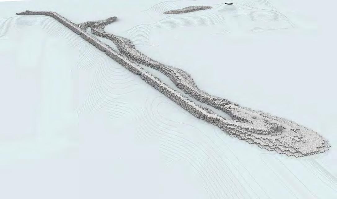
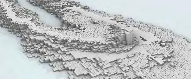
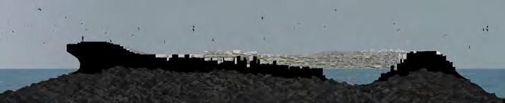
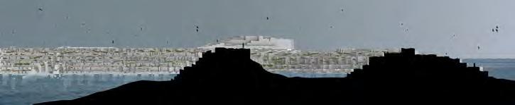
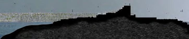
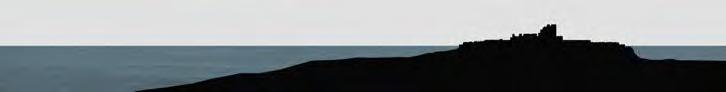
LINE IN THE WATER
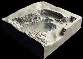
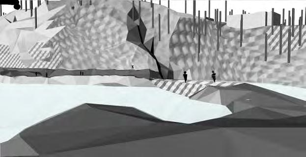
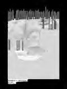
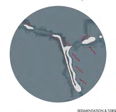
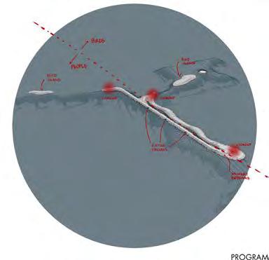
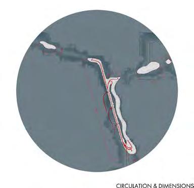
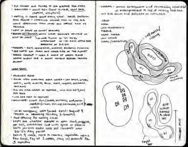
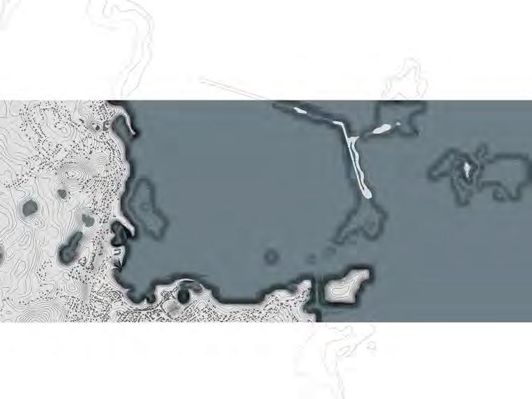
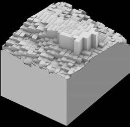
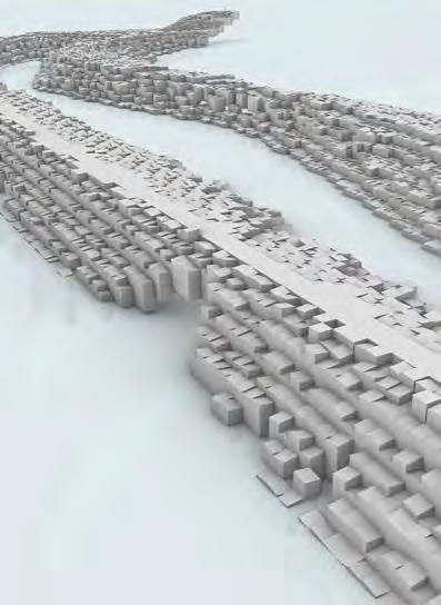
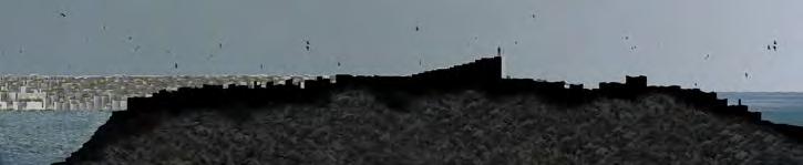
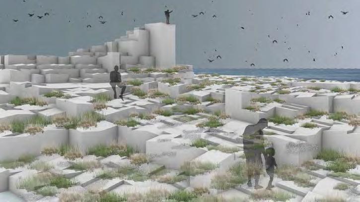
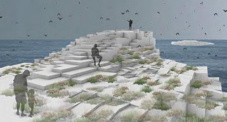
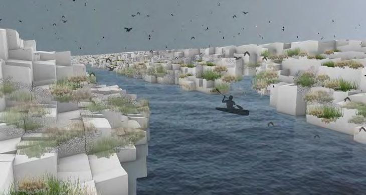
The second half of the semester - Line in the Water - aimed to take all of the excavated material from the quarry and turn it into a breakwater. For this programming, I made an environment and sanctuary for birds. The ground-dwelling bird population that nests there twice a year loves to gather algae and fish and crustaceans on the bank of the ocean. I explored many different considerations for scale, scope, style and found it difficult to comprehend the scale. Eventually, I was able to pin down a program of a series of islands that could be reached by kayak or boat. These islands follow the path of the existing breakwater, saving material and energy as a result.
LINE IN THE WATER
In order to create the nooks and crannies that the birds love, as well as to mimic the patterned nature of the quarry climbing carvings, I created a series of rectilinear shapes that jaggedly ungulate on either side of the walking path. Over time, those crevices will fill with plant life as well as animal life.
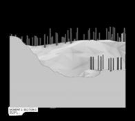
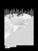
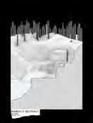
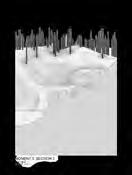
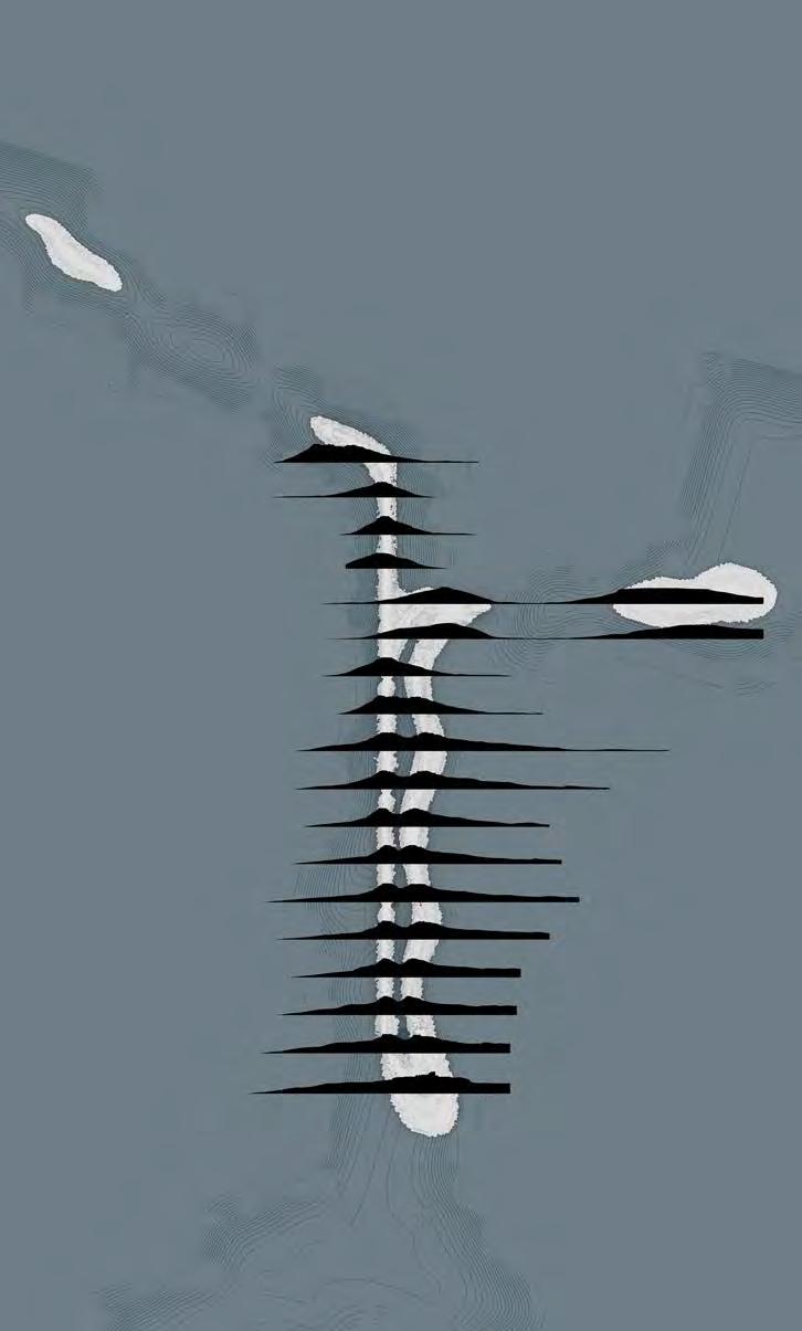
LINE IN THE WATER
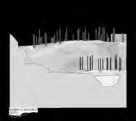
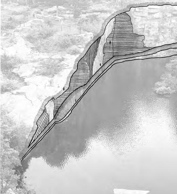
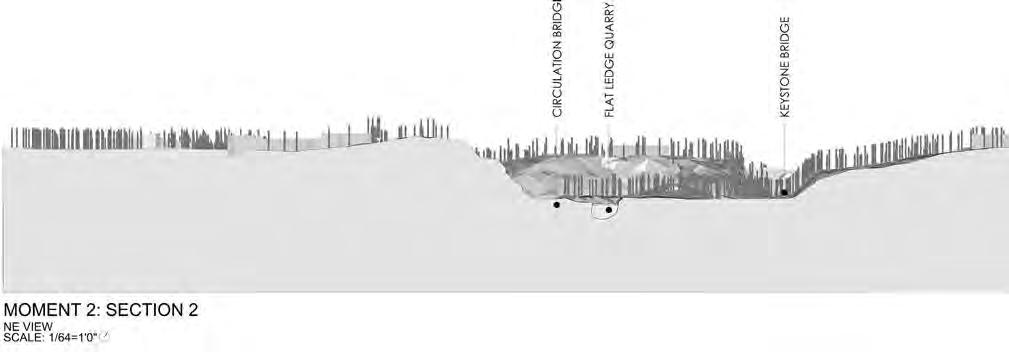
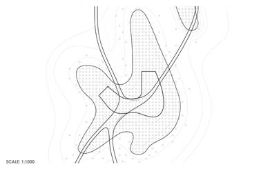
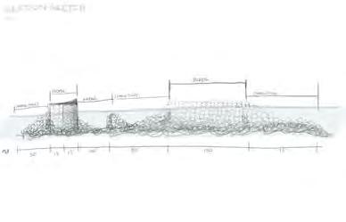
These sections show how the shape of the breakwater changes from one perspective to the next and one section to the next, gradually rising out of and moving back toward the water.