6
BRADFORD PUBLISHING COMPANY | MONDAY, JUNE 28, 2021
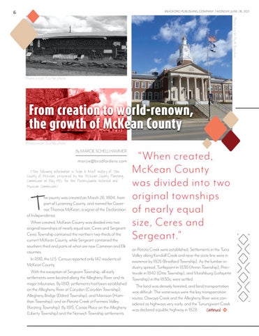
Photo credit: Ruth Bogdan
Photo credit: Era file photo
From creation to world-renown, the growth of McKean County Photo credit: Era file photo
By MARCIE SCHELLHAMMER marcie@bradfordera.com (The following information is from A Brief History of The County of McKean, prepared by the McKean County Planning Commission in May 1982 for the Pennsylvania Historical and Museum Commission.)
T
he county was created on March 26, 1804, from part of Lycoming County, and named for Governor Thomas McKean, a signer of the Declaration of Independence. When created, McKean County was divided into two original townships of nearly equal size, Ceres and Sergeant. Ceres Township contained the northern two-thirds of the current McKean County, while Sergeant contained the southern third and parts of what are now Cameron and Elk counties. In 1810, the U.S. Census reported only 142 residents of McKean County. With the exception of Sergeant Township, all early settlements were located along the Allegheny River and its major tributaries. By 1810, settlements had been established on the Allegheny River at Corydon (Corydon Township), Allegheny Bridge (Eldred Township), and Morrison (Hamilton Township); and on Potato Creek at Farmers Valley (Keating Township). By 1815, Canoe Place on the Allegheny (Liberty Township) and the Norwich Township settlements
“When created, McKean County was divided into two original townships of nearly equal size, Ceres and Sergeant.” on Potato Creek were established. Settlements in the Tuna Valley along Kendall Creek and near the state line were in existence by 1825 (Bradford Township). As the lumber industry spread, Turtlepoint in 1836 (Annin Township), Prentisvale in 1842 (Otto Township), and Marshburg (Lafayette Township) in the 1830s, were settled. The land was densely forested, and land transportation was difficult. The waterways were the key transportation routes. Oswayo Creek and the Allegheny River were considered as highways very early, and the Tunungwant Creek was declared a public highway in 1828. Continued


