4 minute read
County Story


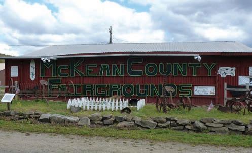
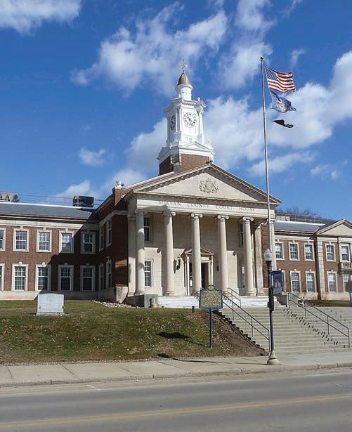
Photo credit: Era file photo Photo credit: Ruth Bogdan
Advertisement
From creation to world-renown, the growth of McKean County

Photo credit: Era file photo
By MARCIE SCHELLHAMMER
marcie@bradfordera.com
(The following information is from A Brief History of The County of McKean, prepared by the McKean County Planning Commission in May 1982 for the Pennsylvania Historical and Museum Commission.)
The county was created on March 26, 1804, from part of Lycoming County, and named for Governor Thomas McKean, a signer of the Declaration of Independence.
When created, McKean County was divided into two original townships of nearly equal size, Ceres and Sergeant. Ceres Township contained the northern two-thirds of the current McKean County, while Sergeant contained the southern third and parts of what are now Cameron and Elk counties.
In 1810, the U.S. Census reported only 142 residents of McKean County.
With the exception of Sergeant Township, all early settlements were located along the Allegheny River and its major tributaries. By 1810, settlements had been established on the Allegheny River at Corydon (Corydon Township), Allegheny Bridge (Eldred Township), and Morrison (Hamilton Township); and on Potato Creek at Farmers Valley (Keating Township). By 1815, Canoe Place on the Allegheny (Liberty Township) and the Norwich Township settlements on Potato Creek were established. Settlements in the Tuna Valley along Kendall Creek and near the state line were in existence by 1825 (Bradford Township). As the lumber industry spread, Turtlepoint in 1836 (Annin Township), Prentisvale in 1842 (Otto Township), and Marshburg (Lafayette Township) in the 1830s, were settled.
The land was densely forested, and land transportation was difficult. The waterways were the key transportation routes. Oswayo Creek and the Allegheny River were considered as highways very early, and the Tunungwant Creek was declared a public highway in 1828.
Continued
43,450
Total Population

Source: U.S Census Data. April, 2010

County Land Composition
Source: U.S Census Data. April, 2010
The lumber industry began in earnest in the 1830s, and prompted settlements and the organization of municipal governments. The settlement of the isolated central and southwestern portions of the county occurred very late, nearly a half a century after the original settlements. This area was occupied by the followers of Thomas Kane (Hamlin and Wetmore townships). Finally, in 1880, Foster Township was divided from Bradford Township.
In southwest McKean County, large tracts of the isolated and landlocked area were purchased by Thomas L. Kane of Philadelphia. The territory was surveyed in 1859, and the village of Kane was founded in 1860.
Further development was delayed by the Civil War. Settlers in McKean County were pro-union and anti-slavery. In fact, the King settlement above Ceres was an important depot on the underground railroad, while Smethport was a way station.
Kane, very concerned with the preservation of the Union, organized a volunteer unit and just nine days after President Abraham Lincoln called for volunteers, The Bucktails were on their way to Harrisburg. The regiment traveled on rafts down the Sinnemahoning to the Susquehanna. The unit claimed to be the first volunteer regiment organized for the defense of the Union.
The regiment became one of the Civil War’s most famous. After the war, Kane returned to develop the town which bore his name. After the completion of the Erie-Philadelphia railroad, and the rapid construction of rail lines, McKean County was no longer isolated.
The rapidly growing lumber industry was cause for some excitement, but the decade of the 1870s would forever change McKean County — the discovery of oil in paying quantities.
The county population burgeoned from 8,825 in 1870 to 42,565 in 1880. Highways and bridges were built, newspapers were formed, communities expanded and services provided. Related industries grew which eventually were able to absorb many of the oil workers unemployed as a result of the decline in the oil fields.
As early as 1861, oil had been found in McKean County. However, because the drilling was not deep enough, commercial quantities were not found. Late in 1874, the first large producing well in the field was struck northeast of Bradford on the Buchanan farm. It was the first big producer — 70 barrels a day — drilled in the soon-to-be-famous Bradford third sand.
By 1881, the Bradford field set an all-time maximum production of 23 million barrels of oil. For several years, McKean County led the world in the production of petroleum.
Other important industries developed as well, including lumber — sawmills, tanneries and wood chemicals — and railroads. By 1925, the county was largely deforested. Much of the land was purchased by the public. The Allegheny National Forest was established in western McKean County in 1923.
The glass industry developed in the same time frame, and from 1895 to 1905, McKean County led the nation in glass production. Other industries included coal in Mount Alton, Marshburg, Clermont and Betula and shale-brick in Lewis Run during the 1920s.
The entire history of what McKean County was to become was shaped during the several decades near the turn of the century.


