Dorothea Dix Park Master Plan
Adopted by the Raleigh City Council 19 February 2019
A Park for Everyone, Built by Everyone

Adopted by the Raleigh City Council 19 February 2019
A Park for Everyone, Built by Everyone
Adopted by the Raleigh City Council 19 February 2019
A Park for Everyone, Built by Everyone
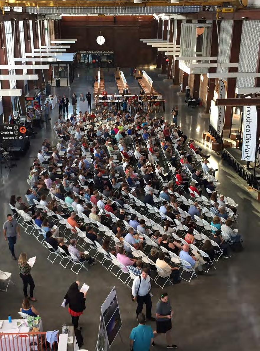
Community Meeting 4 at Raleigh Union Station, November 2018
Prepared in February 2019 for The City of Raleigh Parks, Recreation and Cultural Resources Department by Michael Van Valkenburgh Associates, Inc.
Landscape Architects, P.C. and
Landscape History Suzanne Turner Associates
Transportation Engineering VHB Engineering NC, P.C.
Hydrology LimnoTech
Ecology Applied Ecological Services, Inc.
Civil Engineering SEPI Engineering & Construction
Preservation Architecture Joseph K. Oppermann - Architect, P.A.
Architecture Utile Inc.
Urban Design Greenberg Consultants Inc.
Real Estate & Economic Development HR&A Advisors, Inc.
Public Space Management ETM Associates, L.L.C.
Institutional Planning TEND L.L.C.
Public Engagement Perry Street Studio L.L.C.
FOREWORD
THE MASTER PLAN
Core Principles
Significance
Process
Structure
THE LAND
Natural and Human Histories
The Six Landscapes
The Creek
The Meadow
The Grove
The Gateway
The Ridge
The Valley
THE FRAMEWORK
The Structure of Great Parks
Edges and Neighbors
Circulation and Transportation
New Connections
Park Viewsheds
The Park and its Buildings
THE PROGRAM
Program Aspirations
Balancing Park Experiences
The Six Program Themes
The Six Landscapes
IMPLEMENTATION
Park Phasing
Park Funding
Park Partnerships
RALEIGH CITY COUNCIL
Nancy McFarlane, City of Raleigh Mayor
Russ Stephenson, Council Member At Large
Nicole Stewart, Council Member At Large
Dickie Thompson, Council Member District A
David Cox, Council Member District B
Corey Branch, Council Member District C, Mayor Pro Tem
Kay Crowder, Council Member District D
Stef Mendell, Council Member District E
CITY MANAGERS OFFICE
Ruffin Hall, City Manager
Marchell Adams David, Assistant City Manager
James Greene Jr., Assistant City Manager
Tansy Hayward, Assistant City Manager
Louis Buonpane, Chief of Staff
PARKS, RECREATION, AND CULTURAL
RESOURCES EXECUTIVE TEAM
Diane Sauer, Director
Stephen Bentley, Assistant Director, Design Development
Ken Hisler, Assistant Director, Recreation
Scott Payne, Assistant Director, Resources
Sally Thigpen, Assistant Director, Parks Maintenance
Helene McCullough, Administrative Superintendent
DOROTHEA DIX PARK CITY STAFF TEAM
Kate Pearce, Planning Supervisor, Project Manager
Grayson Maughan, Senior Planner
Caroline Lindquist, Planning Specialist
Lauren Weldishofer, Marketing and Communications
Joseph Voska, Program Supervisor
Nick Smith, Planning Technician
Nicole Steele, Planning Technician
Byron Johnson, Administration and Planning Technician
CITY OF RALEIGH DIX PARK
DEPARTMENTAL RESOURCE TEAM
Budget Management Services
City Attorney’s Office
Communications
Development Services
Engineering Services
Finance
Housing and Neighborhoods
Information Technology
Planning Department Public Utilities
Sustainability
Transportation Department
DIX PARK MASTER PLAN EXECUTIVE COMMITTEE (MPEC)
Nancy McFarlane, City of Raleigh Mayor
Kay Crowder, Council Member, District D
Ken Bowers, Director of City Planning
Diane Sauer, Director of Parks, Recreation and Cultural Resources
Randy Woodson, Chancellor of North Carolina State University
Jim Goodmon, Dorothea Dix Park Conservancy
Orage Quarles, Dorothea Dix Park Conservancy
Carlton Midyette, Dorothea Dix Park Conservancy
The Park and The Region
The Park and The Site
The Park and Transportation
The Park and Its Buildings
The Park and The Site
The Park and Its Program
DIX PARK MASTER PLAN ADVISORY COMMITTEE (MPAC) DOROTHEA DIX
Jacquie Ayala
James Benton, In Memoriam
Walter Cole
Son Duong
Brent Francese
Daniel Gottlieb
Mary Ruffin Hanbury
Jenny Harper
Greg Hatem
Ebony Haywood
Thomas Hester
Myrick Howard
John Johnston
Carly Jones
Aly Khalifa
Bill King
Jai Kumar
Charles Leffler
Chris MacPherson
David Millsaps
Dr. Tony Mitchell
Joan Moravick
Annie Lloyd Nesbitt
Shana Overdorf
Bill Padgett
Julie Paul
Charles Phaneuf
Sara Prado
Brian Pressley
Megg Rader
Sarah Reeves
William Ross
Amy Simes
Ashton Smith
Joey Stansbury
Matthew Tomasulo
Edward Vinson
Joe Whitehouse
Kimberly Wicker
Larry Zucchino
Jim Goodmon, Chair
Ann Goodnight, Vice Chair
Charles B. Neely, Jr., Treasurer, Assistant Secretary
Bill McNeal, Secretary
Sean Malone (ex-officio), President & CEO







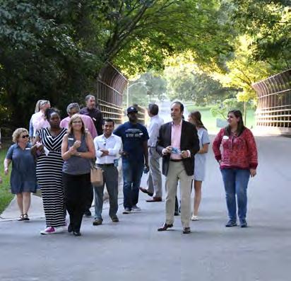
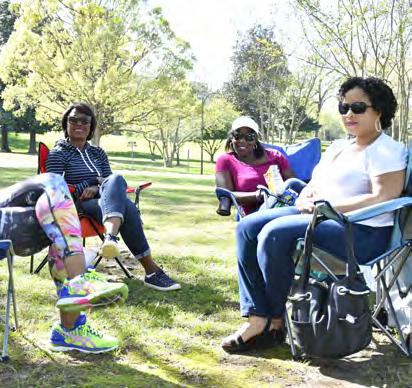

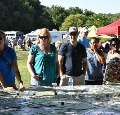
Dorothea Dix Park represents an extraordinary opportunity for our community. The chance to create a new public space this size in the center of a city is remarkable—and simply unparalleled in the United States today. This is especially true with land of such beauty, history, and potential: gentle hills and valleys, shaded groves and open fields, historic buildings and grand approaches, skyline views and majestic oaks. The creation of Dorothea Dix Park offers the opportunity to honor the legacy of the land and bring new meaning and vitality to the landscape. Dorothea Dix Park will bring the community together in a place of wellness, belonging and celebration for all.
In July 2015, the City of Raleigh purchased the Dorothea Dix campus from the State of North Carolina with the intent of creating a great destination park in the heart of the community. An early step in transforming the 308-acre site into a beloved public park is drafting a master plan. Master plans assess existing conditions, outline general priorities, and make non-binding recommendations on future options. Plans are most successful when they represent an aspirational vision
that brings together the broad interests, goals and desires of different community groups. In addition, effective master plans are flexible and responsive to community values that change over time.
The Master Plan for Dorothea Dix Park proposes a bold vision for the future and makes recommendations to support the implementation of that vision. The Master Plan is a result of site analysis, evaluation of best practices, expertise from the consultant team, and, most importantly, a synthesis of extensive city-wide engagement and feedback. Over the past 18 months the City, in partnership with the consultant team led by Michael Van Valkenburgh Associates, has led an extensive public engagement process providing opportunities for community members to participate in exploring and shaping the future of Dix Park.
This unparalleled effort has been the largest outreach and engagement process the City has ever undertaken. The feedback has led to an understanding of the diverse needs, wants and expectations of the community, and to the realization that not everyone has the same opinion on the future of the park.
The Master Plan celebrates this diversity and acknowledges these differences by
describing a vision for the future of Dorothea Dix Park that is balanced, innovative and responsive.
Dorothea Dix Park will be created over decades. The Master Plan is the beginning of a much more detailed public process to design and construct all aspects of the park in phases. The proposals in the Master Plan create a conceptual framework for the future of this public discussion. Important details vital to park success, like a plan for parking, building reuse, funding mechanisms, and partnerships, will require further study in future phases and be part of a public process that ultimately goes to the Raleigh City Council for review and approval.
The intention of the City is to create a great park, a beloved public space, a common ground for all of Raleigh to enjoy, and a place that reflects the broadest desires and opportunities for the community. Future generations will see this as a transformational moment in Raleigh’s history. The Master Plan is just the beginning of what will be an exciting and inclusive process to realize the potential of Dix Park for many years to come.
The Dix Park Team
City of Raleigh Parks, Recreation and Cultural Resources Department


The Master Plan identifies Core Principles that will guide and shape every step of Dix Park’s transformation, from planning, design, construction, and maintenance to future park uses.
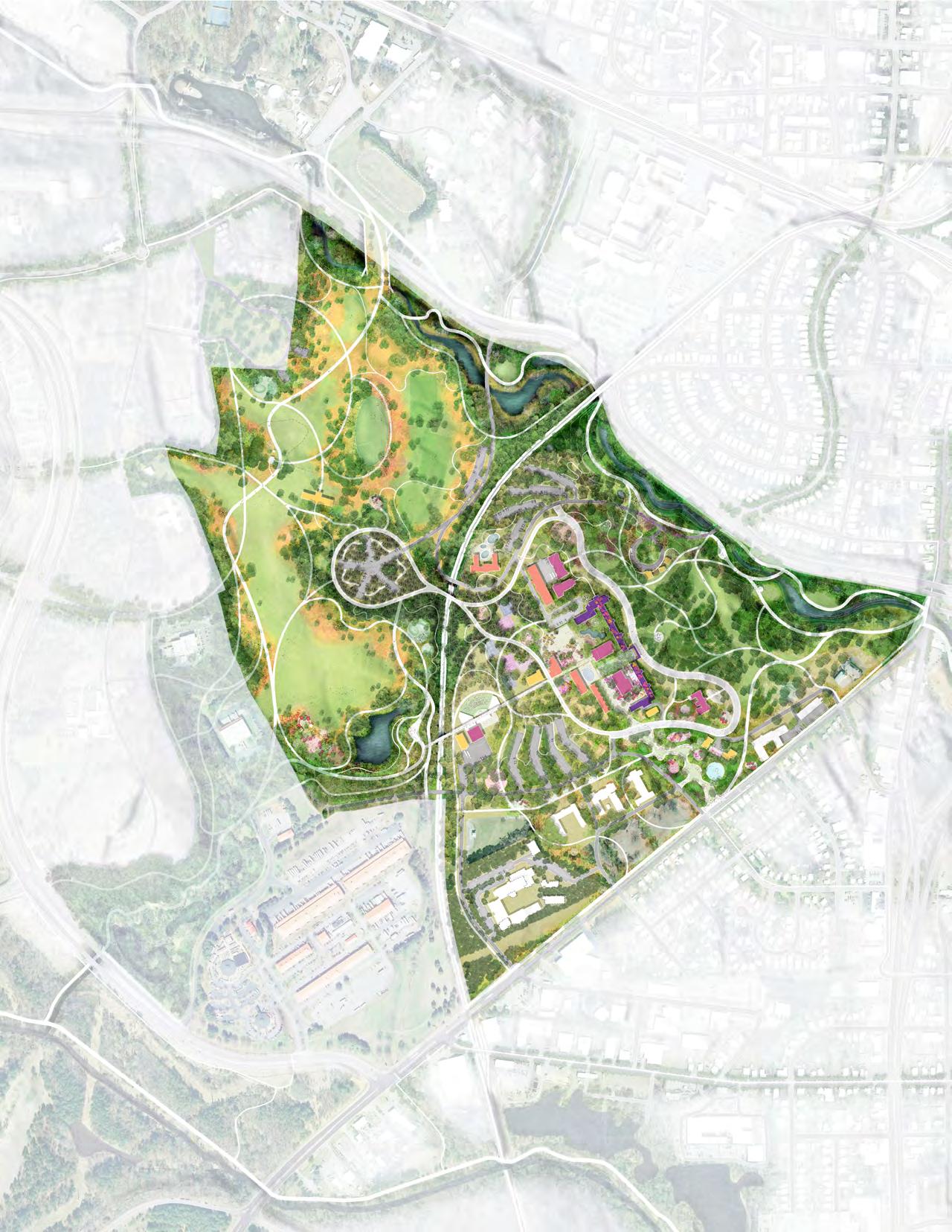
Opening up and connecting the park to the city, the region and the state requires improving access for all. That means creating physical links, via a range of transportation modes, as well as cultural and community links, such as broadening the types of groups and institutions that host events at the park.
The list of key actions at right lays out how the site today will become the Dix Park of the future.
● Break through the physical and institutional barriers that limit access to the park site today
● Work with neighboring communities and institutions to maximize local and regional connections to the park
● Create new physical connections that invite activity at park edges and expand upon existing landscape experiences
● Improve existing entries and create new ones, welcoming visitors from all directions in as many ways as possible
● Continue to welcome everyone to the park with innovative and dynamic programs
● Support learning opportunities led by the educational, cultural, arts and STEM (science, technology, engineering and mathematics) institutions of Raleigh
● Host events and gatherings for citizens, families, community groups and local institutions in park spaces
The qualities and character of a great park grow out of the specifics of its site and context. Accordingly, the events and remnants of natural and human history found on the Dix Park site are not challenges to overcome or to erase. Rather, the site’s past includes important resources—the physical materials, stories, and experiences—to make and shape the future park.
The list of key actions at right describes specific steps to guide the transformation of the hospital site into a public park.
● Create park plans, designs and programs from the existing opportunities of the site
● Honor the legacy of Dorothea Dix by creating park spaces and programs that support the wellness of visitors
● Follow and promote the best practices in design, planning and sustainability through restoration, reuse, and rehabilitation
● Bring meaning and relevance to the site’s complex layers of history through new park elements
● Weave into the park experience innovative resiliency projects that reveal the natural landscape systems
● Create value to sustain a world-class park
● Restore complexity and diversity to water systems and landscapes, adding features that reflect the region’s ecosystems
● Sustain the implementation and maintenance of the park by welcoming the expertise of Raleigh citizens and the support of volunteers
● Integrate the work of the region’s artists, builders, craftsmen, and makers into park spaces
Dix Park will become a beloved destination for local residents and visitors from across the state and around the world as it celebrates diversity, hosts a distinct mix of activities, and includes bold, new features.
What visitors will do at the park—its program—is the planning tool that will make all of this possible. The list of key actions at right will ensure that the park offers something for everyone.
● Restore and celebrate the site’s cultural landscapes to connect the past to today
● Create an easily understood and accessed framework for the park that will endure through time
● Bring together park spaces that are urban and civic with those that are natural and boundless, and celebrate that contrast
● Create “nature escapes” in the Creek, the Grove and the Meadow landscapes
● Include spaces for active and civic programs in the Gateway, the Ridge and the Valley landscapes
● Design park spaces to be flexible and dynamic, so that they can support a range of meaningful and engaging activities and events and adapt over time
● Enhance the destination value of the park by including programs that can be found nowhere else in the area
● Include spaces for creative expression
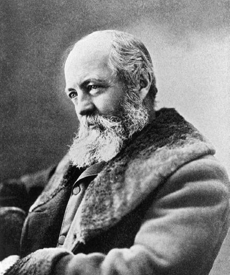
As Frederick Law Olmsted noted in 1865, immersion in nature “employs the mind without fatigue and yet exercises it; tranquilizes it and yet enlivens it; and thus, through the influence of the mind over the body, gives the effect of refreshing rest and reinvigoration to the whole system.”
Mental health activist Dorothea Lynde Dix and landscape architect Frederick Law Olmsted pursued practical solutions to the moral challenges of their time. While their professions were different, in many ways the impact of their work converged. Both understood that access to natural spaces was essential to the well-being of individuals and modern society as a whole. Both founded lasting public institutions to build and sustain their vision for a better future. Their great achievements and the way they achieved them inspire this Master Plan. Dix (1802-1887) stands out among social reformers and activists of the 19th century for her ability to get things done. She arrived in North Carolina in 1848, documented the poor treatment of thousands of mentally ill men, women, and children, and successfully lobbied the legislature to create the state’s first mental health hospital. It was one of over 30 mental health hospitals she helped to create across the country.
In addition to her success in garnering support for what was then known as the Insane Hospital of North Carolina, Dix’s vision for the dignified treatment of patients — which included providing access to natural environments and therapeutic outdoor activity — shaped what the hospital campus and its agricultural and garden spaces would become. After her death, Raleigh’s state hospital facility was renamed in her honor (she declined the request in her lifetime). The proposed park, created from the former hospital grounds, will
continue to bear her name.
Olmsted (1822-1903) was a farmer, a journalist, the General Secretary of the U. S. Sanitary Commission during the Civil War and, ultimately, America’s most important landscape architect. He applied his creative, technical, political and administrative skills in the realization of some of the nation’s best-known public spaces, including Central Park in Manhattan and Boston’s Emerald Necklace, scenic parks in Niagara Falls and the Yosemite Valley, and estates such as Biltmore in Asheville, North Carolina.
Through his work, Olmsted illustrated and popularized a basic truth, still widely accepted today: that the wellness of individuals and democratic communities is closely tied to access to and the enjoyment of natural spaces. His 19thcentury beliefs are backed up by today’s science; for example, the recent writings of Florence Williams, a celebrated author and academic, synthesize research on the creative and health benefits of public parks.
The inspiring efforts of Dix and Olmsted remain relevant to Raleigh. Raleigh is a capital city that is growing in size and density and that needs to protect its natural and open spaces. At the same time, it must expand opportunities for all citizens and visitors to develop a greater sense of community through activities and events, and to find well-being and wellness through enjoyment of the outdoors.

The
Idea of a Place for Healing
“Active exercise in the open air, moderate labor in the gardens, pleasure grounds, or upon the farm, afford good results ... in advancing the cure of the patient.” (1848)

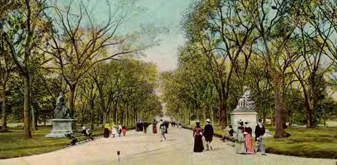
The Idea of a Central Park
“It is a scientific fact that the occasional contemplation of natural scenes of an impressive character, particularly if this contemplation occurs in connection with relief from ordinary cares, change of air and change of habits, is favorable to the health and vigor … beyond any other conditions that can be offered...”. (1865)
“[A]fter carefully examining the whole country in the vicinity of Raleigh, they chose a location west of the city and about one mile distant, on a hill near Rocky Branch to provide a water supply. This location has a commanding view of the city and is believed to be perfectly healthy. The grounds are beautifully undulating.”
The human history of the Dix Park site is complex and varied. It reflects the highest aspirations of society, through the provision of mental health services for those in need, as well as challenging and difficult periods, particularly the plantation era that relied upon labor by enslaved persons. The landscape itself, as well as some of the remaining buildings, retains important characteristics that can be used to reflect upon, share, and interpret these complex layers of history.
In addition to Dorothea Dix, the architect Alexander Jackson Davis (1803-1892) is another important historic figure tied to the site. One of the most prominent American architects of the mid19th century, Davis designed the North Carolina State Capitol Building in Raleigh and parts of the University of North Carolina at Chapel Hill. In the 1850s, Governor Morehead invited Davis to design the original hospital building and give form to Dorothea Dix’s vision. Davis’s decision to locate the structure on the hilltop ridge (today called Dix Hill) concentrated activity at the center of the site, with open and rural spaces at its edges. The proportion and orientation of his design accentuated the site’s long natural hilltop and maximized scenic views
toward the growing center of Raleigh. There was one primary approach to the site, leading visitors up a sinuous drive through oak trees to the hospital’s front door at the hilltop. The site was clear and unified.
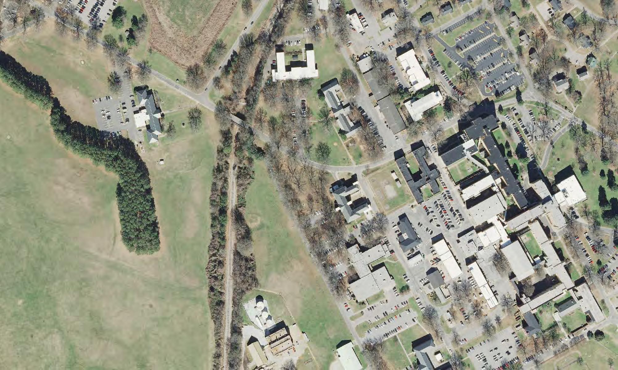
Today, after over 150 years of growth and change, the site is split in two by a railroad corridor; its edges are difficult to perceive and cross; and many of its features, such as the Rocky Branch and the historically significant design by Davis, have been compromised by modification or neglect. The site is not easy for pedestrians to enter or traverse. It is disconnected from city systems, such as transit and stormwater management.
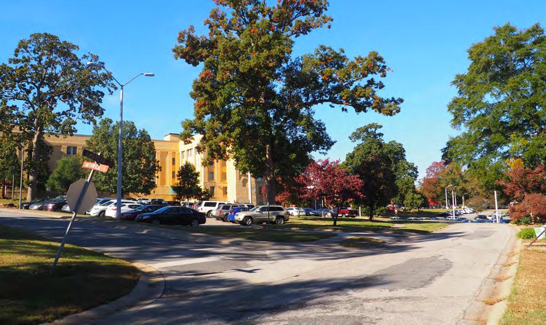
Despite these challenges, the Dix Park site includes many existing elements that can be preserved and contribute to the life of a great park. The rolling topography and large trees already feel park-like in many areas. The low-lying zones around the park’s perimeter are potential points of connection between Raleigh and its new park. The physical features that have structured the site and its past uses can gracefully absorb new elements that will reveal more of the site's history, enhance a sense of place, and bring new relevance to the site.

Former New York City Commissioner of Parks and Recreation Adrian Benepe has called Dorothea Dix Park “the most important and exciting park project in America today.”
As one community member said during a Master Plan engagement session, a park like Dix Park can have “a pebble in the pond” effect—supporting experiences that expand the mind and spirit and shaping an individual’s perception of their community and their role within it. The planning effort is a positive act of community- and citybuilding, inviting current Raleigh residents and leaders to create a new, significant resource for future generations.
Given its central location, size, and legacy as a public institution, Dix Park offers an important opportunity to plan for Raleigh’s growth by preserving and enhancing 308 acres for public use and enjoyment. Raleigh's population has more than doubled since 1990; in 2018, the population of Wake County grew by about 70 people a day. As the area’s population continues to grow, Dix Park can be an inviting place—easy to get to, with immersive scenery and abundant social opportunities—that brings the Piedmont region’s rural and natural character to the heart of the city.
Raleigh and the Triangle Region offer parks today that are larger than Dix Park, including the 5,600-acre William B. Umstead State Park with its abundant nature trails, and Lake Wheeler Park, focused on water recreation. While parks like these
are important natural and recreational assets, they do not fill the role of a park that has been intentionally designed to be a gathering place for the city at large, close and well connected to the Downtown core. In the mid-19th century, pastoral parks like New York City’s Central Park were created to anticipate and offset the pressures of city life. Already featuring large mature trees and rolling hills, Dix Park can play a similar role for Raleigh, while also being an active and equitable park for the 21st century and beyond.
Turning Dix Park into a gathering space for the city means improving connections to nearby recreational spaces. The Rocky Branch Greenway, a part of the more than 100 miles of existing trails in the Capital Area Greenway System, runs through Dix Park. Beloved park spaces including Walnut Creek Greenway and Pullen Park are geographically close but separated from Dix Park by multi-lane roadways without sidewalks. The Master Plan proposes an improved network of connections for pedestrians and bicyclists to integrate Dix Park into the everyday life of Raleighites and transform it into a new natural, recreational, and cultural asset complementing the existing public spaces of the region.


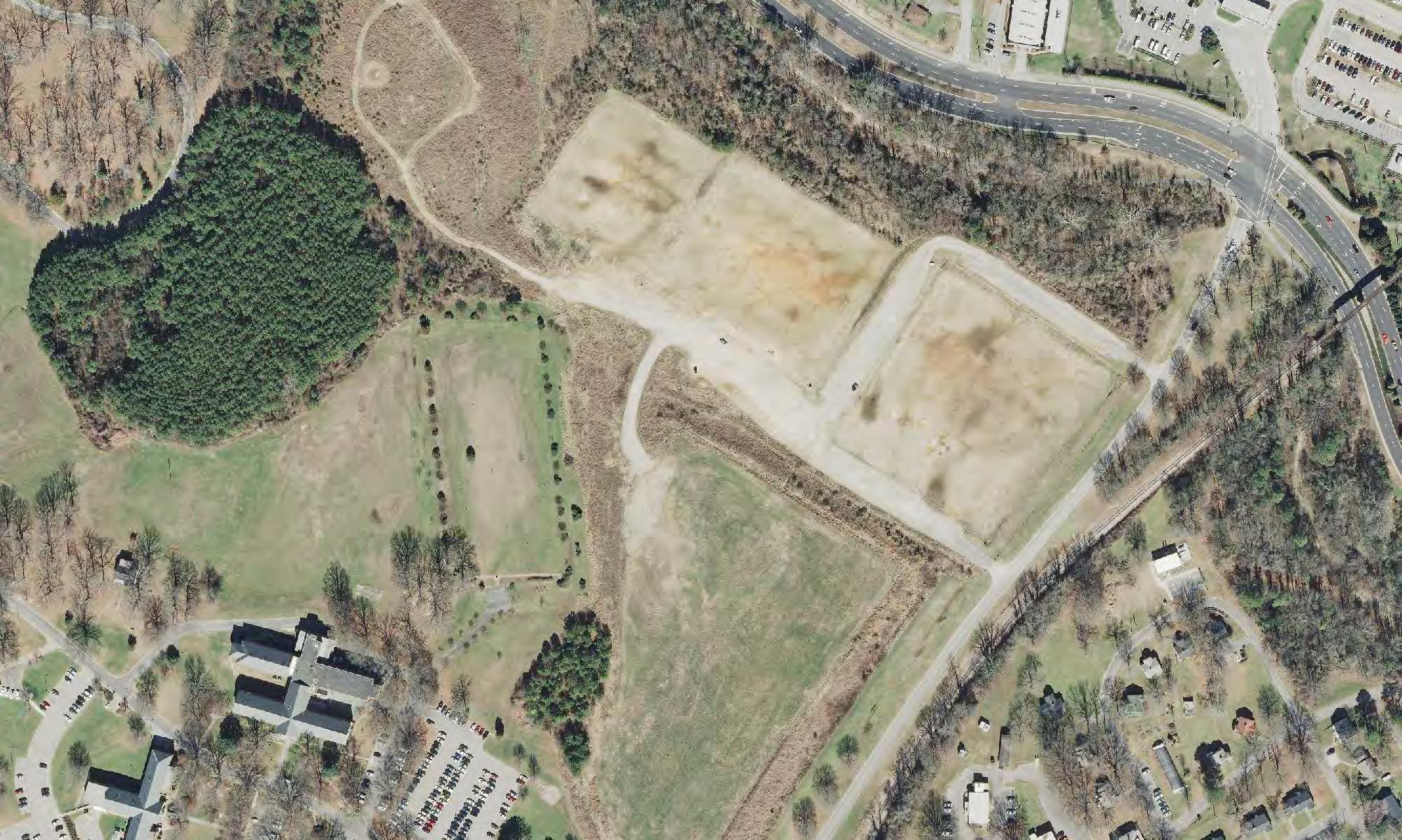
Parts of the Dix Park site are being used as a park today. But turning this historic property into a park Raleigh can be proud of is not just a question of changing the signs and adding new activities. To truly serve the current and future residents of Raleigh, both the constructed and natural elements of the park need to be purposefully and thoughtfully transformed.
The current sloped, wooded, and watery edges of the site are highly uneven, both with respect to landscape experience and to their ecological integrity. Substantial investment will be needed to improve environmental functioning and diversity. Likewise, the former hospital complex is densely built and varied in architectural significance and condition. This area will require careful strategies for rehabilitating the buildings with the greatest historic significance and usefulness while removing those buildings that hold back the potential of the park.

As Dix Park begins to take shape, there is much to learn from other great parks around the world. These public spaces are beloved by local residents as well as by visitors from afar; they set a high standard for operations, maintenance and programming; and they have evolved and changed over time in response to changing needs, while still retaining their core character.
The great parks on these pages are of a size and significance that is relevant to Dix Park. In some cases, these parks preceded and shaped the character and density of surrounding areas, by providing a contrast to the experiences of city living. Nearby residential neighborhoods, in turn, support safe, active and successful public parks.
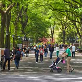
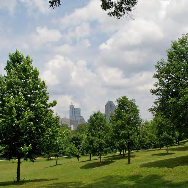
Another characteristic of many of the world’s great urban parks is that they include features designed to be natural and boundless, such as open fields and planted areas, alongside features that are civic, urban, and support public events and activities. Often, as in the examples at right, the natural and civic features are organized as a single sequence so that both experiences are included in one visit to the park.
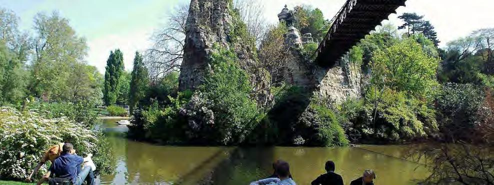
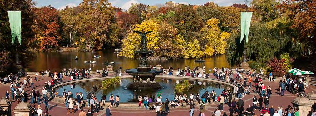
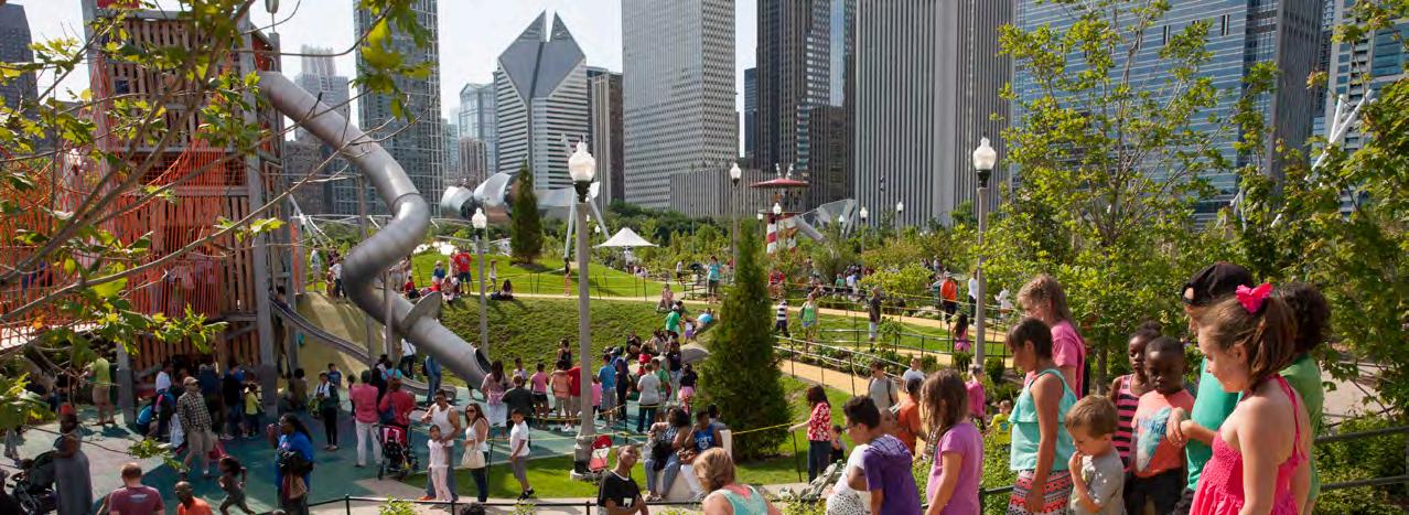
Community feedback received throughout the Master Plan engagement process informed key themes about what a great park means for Raleigh:
• CAMPUS TO PARK—Transforming a former plantation and historic hospital campus into a public park requires changes to site features, such as the existing buildings and vehicular roadways. Through those improvements, important aspects of the site's history should be retained and revealed to better honor the past and serve current and future residents of Raleigh.
• A PLACE FOR WELLNESS— Community members have expressed a desire for Dix Park to become the place in Raleigh where a sense of wellness fosters creativity and innovation, a place where people encounter activities that will feed their imagination, and where visitors can appreciate the healing potential of gardens and ecology.
• A DEMOCRATIC AND CIVIC SPACE— Community members have also expressed an aspiration for Dix Park to become a democratic and civic gathering space: accessible, safe, relevant, and inclusive. The park will be a place where community groups grow and interact and where visitors, new arrivals, and longtime residents can come together.
• RESTORATION OF THE LANDSCAPE— The proposals to restore the natural systems of the Piedmont at Dix Park were wellreceived through the public process. The restoration of Rocky Branch to its broad channel, the expansion of the Big Field to reflect the site’s agricultural past, the preservation of the tall trees and views from the top of Dix Hill, the creation of quiet places with improved plant diversity to support communities of wildlife, exploration by visitors and nature tours—all of these recommendations are included in the Master Plan.
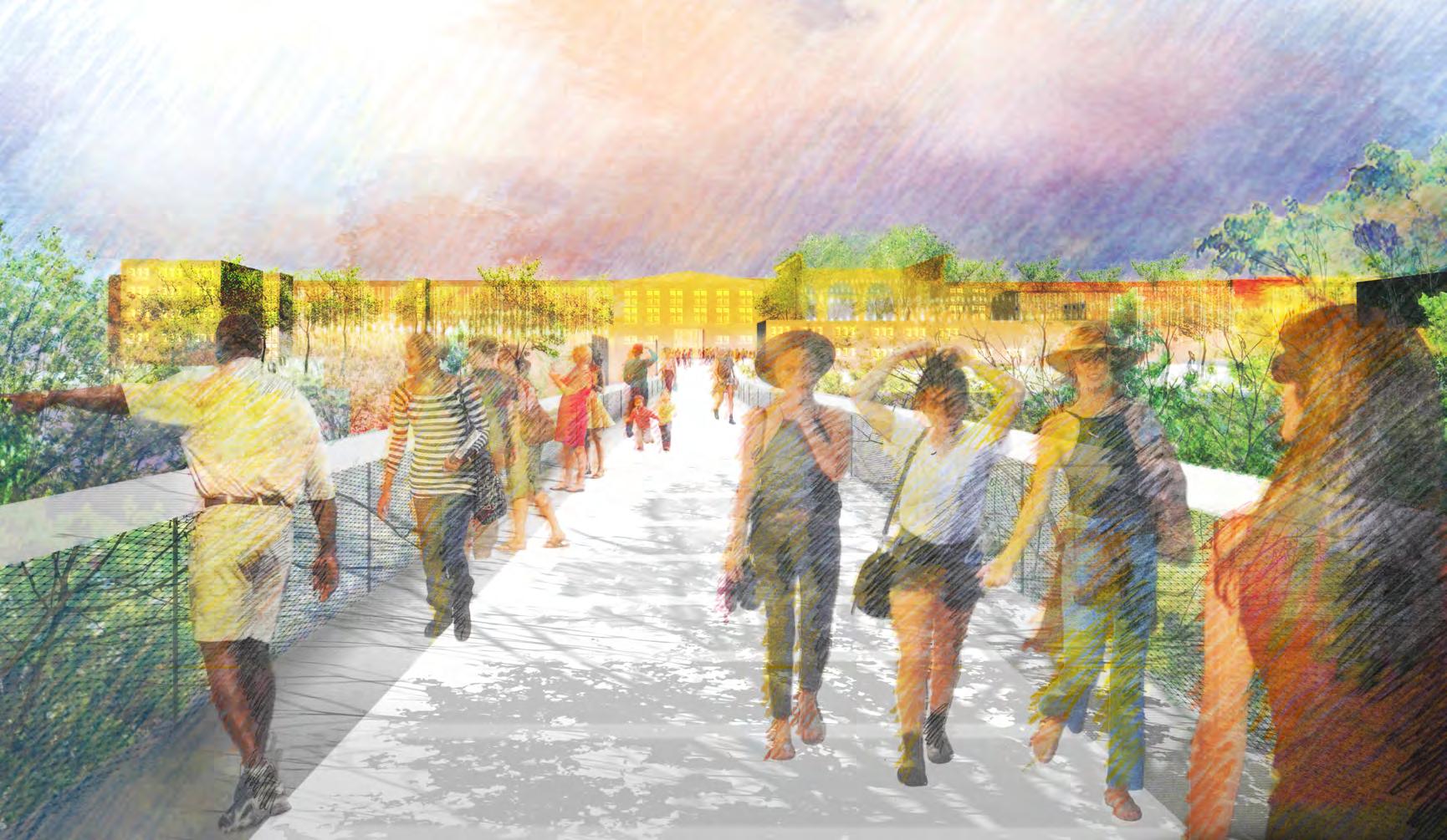
The proposed Cultural Link will be one of the many great amenities of the future park. It will consist of The Water Garden, designed to be both natural and boundless, on one end; the Hilltop, which will be civic and urban and will host events and activities, on the other; and the Trestle, a new connection over the railroad corridor, which will link these two areas.
The Cultural Link embodies the Master Plan’s Three Core Principles. It opens up and connects the site for pedestrians in new ways. It transforms what today is 20-minute walk across uneven terrain into a 10-minute level walk. It links the site’s two most significant and beloved existing features—
the historic hilltop campus and the rolling, open expanse of the Meadow—in a way that cannot be experienced today. It makes a walk from Downtown to the State Farmers Market and all points in between more convenient and accessible.
The Cultural Link builds from what is there, converting the challenge of the existing railroad corridor that bisects the site into a new elevated and safe crossing. The programs proposed for the Hilltop and the Water Garden draw significance from the site’s early hospital history, when activities fostered a healing relationship to the land.
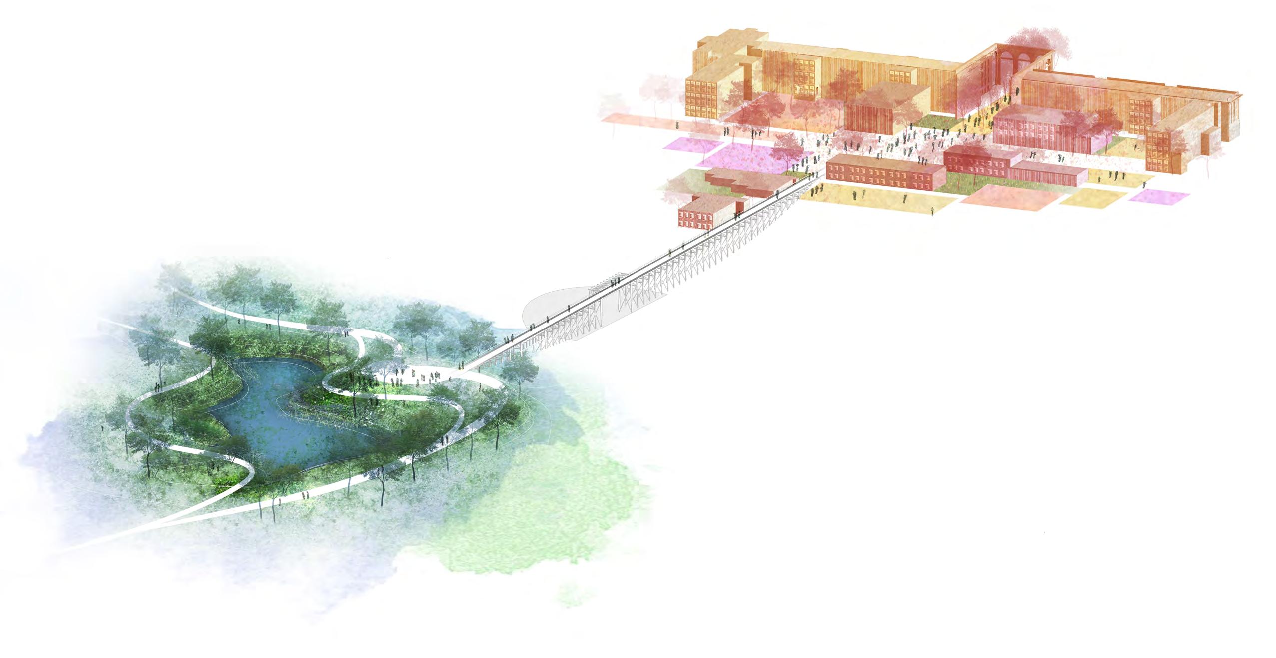
The Cultural Link offers something for everyone by providing spaces for individuals, groups, and large gatherings, with quiet escapes available in restored natural areas nearby.
From the Cultural Link’s Trestle, visitors are offered a 360 degree view over the park landscapes. Given the hilly terrain, it will be a place in the future park where visitors will be able to see layers of new
and old at one time. If you have friends visiting from out of town with only two hours to show them the best of Raleigh, the Cultural Link may be the first stop on your itinerary. Visitors and Raleighites alike will feel welcomed to the Cultural Link to experience the range and diversity of what the park and the city have to offer.
Large Community Meeting
1 2 345
Executive Committee, Advisory Committee, and Work Group Meetings; Engagement Events
Committee, Advisory Committee,
The Master Plan, first and foremost, grows out of engagement with the Raleigh community and analysis of the complex existing site; it utilizes the professional experience of the consultant team and draws inspiration from great parks around the world. The process to create the Master Plan for Dix Park was designed to be:
• OPEN—analysis and decision-making steps were organized and shared regularly
• INCLUSIVE—a wide variety of stakeholders were invited to participate
• ITERATIVE—ideas were developed through several rounds of review and refinement
• ACTIVE—meetings, presentations, events, and tours were held at a variety of locations, including at the park
Several groups were convened to guide the development of the Master Plan. The Master Plan Executive Committee (MPEC), whose eight members include elected officials, senior City staff, and members of the Dix Park Conservancy, was appointed by the Raleigh City Council. After a competitive six-month application and interview process, the MPEC recommended the selection of a team of consultants led by the landscape architecture firm Michael Van Valkenburgh Associates (MVVA) to create the Master Plan. The MPEC and MVVA team worked in close collaboration with the Master Plan Advisory Committee (MPAC). The MPAC was appointed by City Council through a public application process and represents a diverse group of community leaders. Master Plan
Workgroups were also established to help inform planning.
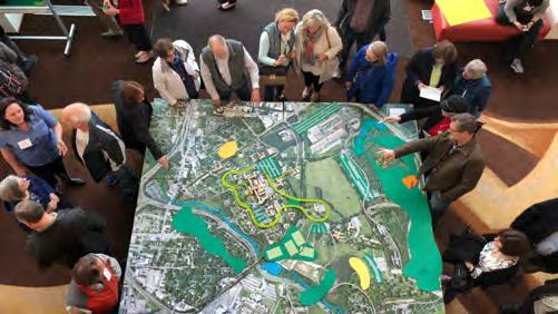
A 22-month planning process followed: guided by MPEC, informed by close consultation with MPAC, with regular feedback from the Master Plan Workgroups of community members, and continued City-led outreach and engagement at public events. Throughout, the MVVA team created original site analysis, developed planning principles and visions, and presented updates to MPEC and MPAC for their initial review and subsequently to over 2,100 citizens at five large community meetings. Community feedback was also gathered through the Dix Park website and forums hosted in collaboration with the communications platform Neighborland (www.dixpark.org/ideas).
Altogether, the development of Master Plan ideas involved several rounds of site analysis, presentations, community input, and adjustments to planning ideas based on feedback. Community input was organized into six broad categories that encompassed the most important aspects of planning:
• THE PARK AND TRANSPORTATION
• THE PARK AND THE REGION
• THE PARK AND THE SITE
• THE PARK AND ITS BUILDINGS
• THE PARK AND ITS PARTNERS
• THE PARK AND ITS PROGRAM
The Master Plan provides a framework to guide the city and the public through the incremental steps of park-making.
A successful master plan for Dix Park will preserve opportunities to meet future needs, focus resources to create a world-class park, and achieve consensus on core principles. The creation of a master plan provides the foundation for the long-term work of transforming the site into a park; it enables the process to begin with a vision shared widely by the community. As has been true throughout the park’s history, the role of community engagement and support will continue to be crucial to Dix Park’s growth and change. Looking ahead, major decisions will be a part of a public process that ultimately goes before the Raleigh City Council for approval.
The inspiration for Dix Park extends back to the early 20th century, when nearby residents first enjoyed the hospital’s oak groves and rolling hillsides. Since that time, community groups have organized to support the creation of Dix Park, including Dix Visionaries, Dix306 and the Friends of Dorothea Dix Park. In recent years, a new

organization was created to support and advocate for the future of the park: the Dorothea Dix Park Conservancy. The Conservancy is a 501(c)(3) nonprofit organization that exists to support the City in its efforts, serve as its philanthropic partner, and help ensure the creation and long-term success of Dorothea Dix Park.
The vision for Dix Park builds on a comprehensive review of urban planning and site
analysis. The Master Plan draws from the studies and recommendations of others, including the history of Dix Hospital documented in Marjorie O’Rorke’s 2009 Haven on the Hill; recent city reports including the 2014 Parks, Recreation and Cultural Resources System Plan and the 2017 Southern Gateway Corridor Study; and site analysis and investigations that were executed in parallel with the Master Plan effort. These efforts included a survey and assessment of existing trees, a ground-
penetrating radar study to better ascertain the extents of the Dix cemetery, archival research by historians from UNC Chapel Hill, and a report by the Dix Park Conservancy’s Legacy Committee on the history of the site and its relevance to the future park. The Dix Park Master Plan also incorporates and reflects anticipated planning efforts by others that will impact the future park; for example, Bus Rapid Transit planning for Western Blvd. by the City

and Wake Transit was ongoing at the time of the creation of this book.
Crucially, this Master Plan compiles and synthesizes feedback received throughout an 18-month community engagement process. Important participants included a large and diverse community of civic leaders, municipal and state employees, and Research Triangle Region and Raleigh citizens. It has been one of the most comprehensive and thorough outreach and
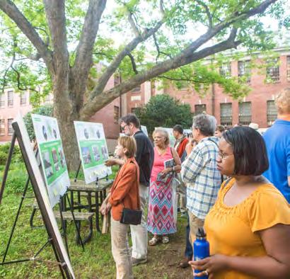
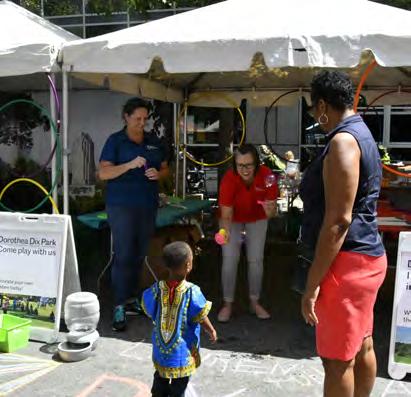
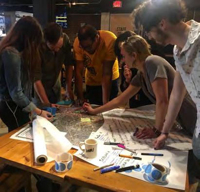
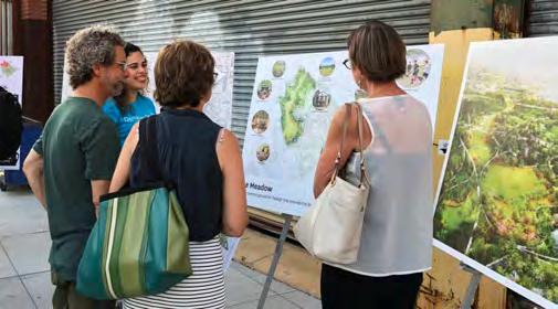
engagement efforts in the City’s history, with over 65,000 area residents participating. Highlights of the process include five large community meetings with over 2,100 attendees; presentations at Citizen Advisory Council meetings; feedback gathered at 176 events hosted at the park; nine conference presentations; eight booths at community festivals; 114 presentations to community groups; 138 walking tours; 23 driving tours; one event with 400 students from six local universities; various city staff-led mentorship projects with local universities and school classes; and summer camp design sessions with 1,900 children ages 6-14.
Rather than being a final, definitive work, the Master Plan marks an early step in transforming the site into a beloved public park. There are countless specifics and details that will be investigated and decided upon in the next phases of work, including designs for individual projects, funding plans, and partnership agreements. The Master Plan will serve as a guide and reference throughout this process.
Pages 54-103
A growing understanding of the natural and human histories of the site led to the creation of six distinct but interconnected landscapes: the Creek, the Grove, the Meadow, the Gateway, the Ridge and the Valley. The six landscapes are defined by existing natural and built features and are also grounded in the stories and experiences of past and present residents of Raleigh.
Pages 104-157
The framework is the organizing structure of a park. Important elements of a park framework include the organization of entries and edges, the placement of paths and roads, and, given Dix Park’s many existing buildings, the relationship of indoor to outdoor spaces.
An effective framework makes a park easy to access and easy to understand. As a community’s needs change and evolve over the long term, a park’s framework endures while supporting new uses. The framework can preserve opportunities for future change while maintaining the park’s core identity.
Pages 158-219
The program is the collection of uses and activities planned for the park. The Master Plan presents specific program ideas to illustrate what is possible at Dix Park, however, program will evolve over time. The program aims to create a range of experiences at Dix Park, balancing the needs and interests of the diverse Raleigh community. Program themes were based on community feedback about desired uses and activities, efforts to ensure that the park offers something for everyone, and the design team’s experience from working on comparable projects.
Pages 220-252
While the previous chapters discuss the existing and proposed conditions of the site, this chapter shows how these ideas can be realized. The physical work of the park’s transformation is divided into four phases, offering advantages in construction, budgeting, and administration. The chapter also analyzes specific topics, each crucial to a park that is sustainable and functions well over the long term: operations and maintenance, funding, and partnerships.
Dorothea Dix Park has a complex past. Patterns and events of natural and human history have altered the land over time. This chapter peels back these historical layers to interpret what is significant and useful about what remains today, and how the site can be transformed into the future park with meaning and specificity. Topography, hydrology, geology, and ecology are the main topics of natural history. Past uses of the land include a plantation, a hospital campus, a municipal landfill, a therapeutic escape, and a burial ground.
Informed by these analyses, the Master Plan proposes six Dix Park landscapes that cultivate essential characteristics and experiences of the land and give them specific locations and names, so that they may be preserved, restored and shared.
Dix Park is a mosaic of spaces shaped by their pasts. In 1990, the Dix Hospital campus was nominated to the National Register of Historic Places, recognizing some of the site's buildings and landscapes as culturally significant. The National Park Service, sets the federal standards for the cultural significance of historic resources. Characteristics that qualify a place as a cultural landscape include: It is associated with important events, activities, or people; it exhibits distinctive design, construction, or formal characteristics; or it may yield important historical or archaeological information.
The land that makes up Dix Park meets all of these criteria. It is associated with a formative period for progressive mental health treatment; it represents the lobbying by Dorothea Dix, a key mental health reformer; and its original building
was designed by A. J. Davis, the important 19th century architect. Additionally, the interpretive potential of the land's use as a plantation, a Civil War encampment and a cemetery for patients are largely unexplored.
The history of a site influences all aspects of planning for the future, and knowing this history allows planners to identify areas to be preserved or restored, as well as those that can accommodate new uses. The resulting park is one that anticipates future growth while respecting the role the past has had in forming the character of the space.
The respect due the site as a cultural landscape is an area explored by the analysis and recommendations of consultant team member Suzanne Turner Associates. See this book’s Appendix for more information.
Enslaved persons worked on the Hunter plantation and the original hospital building construction. Hospital patients worked in the site’s agricultural fields until the 1970s, at points providing a food supply for the hospital.
a
officer during the American Revolution, established a plantation in what was then the Granville District. He became the second largest slave-holder in Wake County during his lifetime.
Approximately 56 acres of the Dix Park site were used as a municipal landfill from 1956 until 1972, and continued to receive construction debris until the early 2000s.
In 1865, the hospital grounds were occupied by Union troops who pressured hospital officials to accept its first African American patients.
The hospital grounds were used for recreation and relaxation by patients, staff and local residents. Today, the tradition of recreation continues with existing greenways through the park and open areas like the Big Field.
LANDSCAPE AS PLACE OF RECREATION
In 1848, mental health care advocate Dorothea Lynde Dix petitioned to establish The Insane Hospital of North Carolina. Therapeutic methods employed included agriculture, horticulture, gardening, and passive experiences in nature.
AS THERAPEUTIC SETTING
Stream channelization and changes to natural topography resulted in erosion, degradation of natural systems, and the loss of plant and wildlife diversity. In 1912, the asylum granted a railroad right-of-way across the property in exchange for a direct spur for delivering coal to the hospital. Repeated expansions of Western Blvd. encroached on Rocky Branch.
The first recorded burial was that of Theophilus Hunter (Sr.), whose grave is near the Spring Hill House on NCSU property. Enslaved persons occupied and were likely buried near dwellings just to the west. Burials for impoverished hospital patients began shortly after the hospital opened, and ended in 1972. There are over 900 graves in the hospital cemetery, many unmarked.
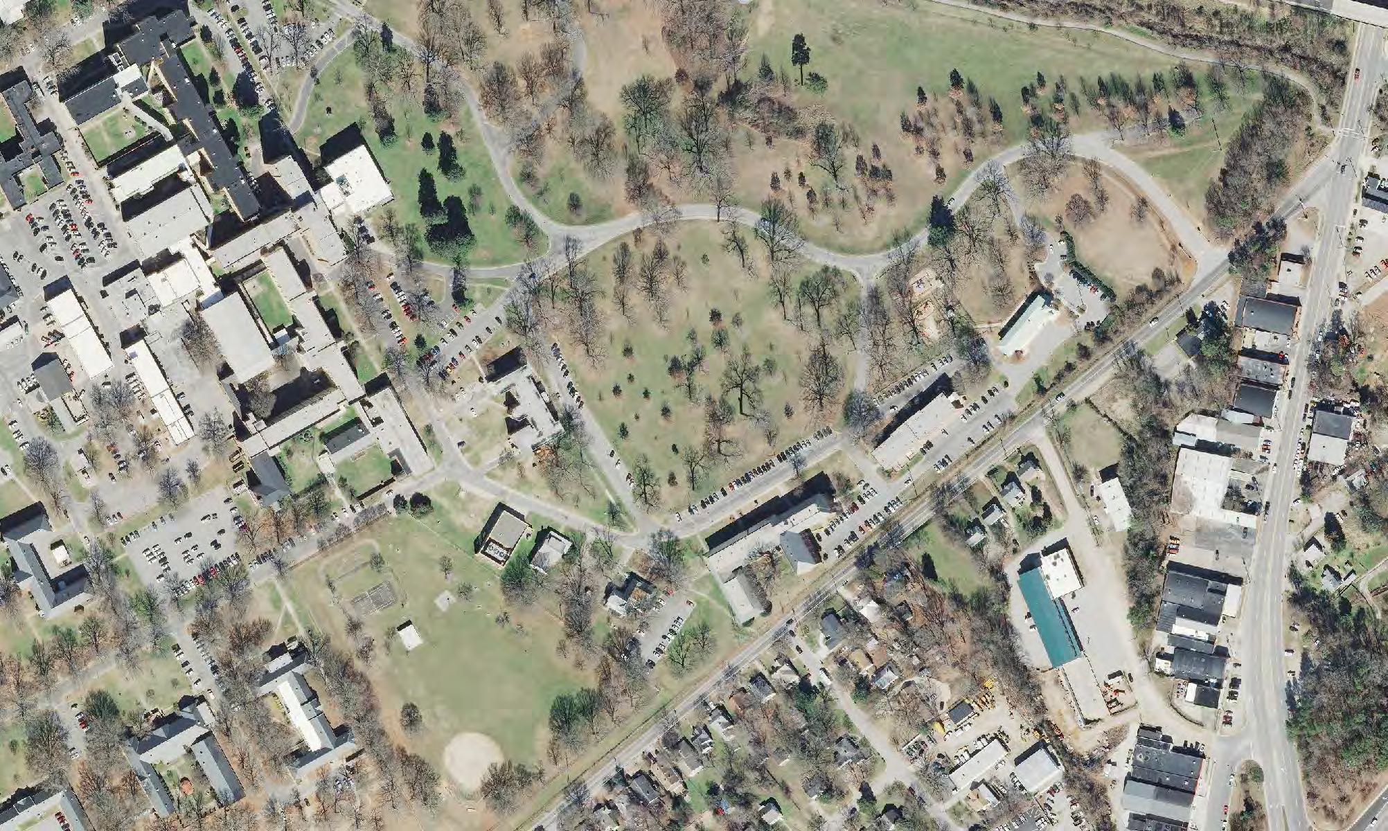
Decades of land use during the plantation and hospital eras, including tilling, dumping of waste, mowing, and other management practices, have erased the range and complexity of natural features previously associated with the land. Dix Park’s existing land use is dominated by mown lawn areas, which account for over 180 acres, or 59%, of the property. Another 61 acres, approximately 20% of the property, are covered in pavement or buildings. These impermeable areas of pavement and buildings are concentrated at the hilltop ridge in the middle of the park.


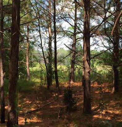

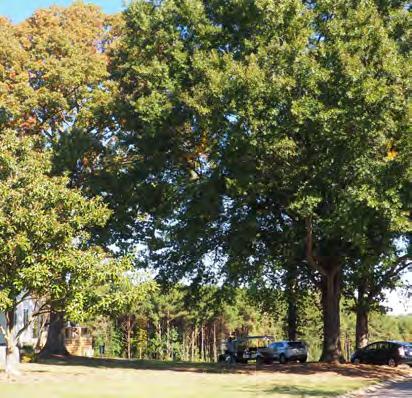

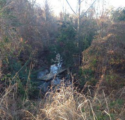
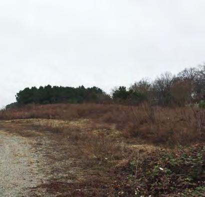

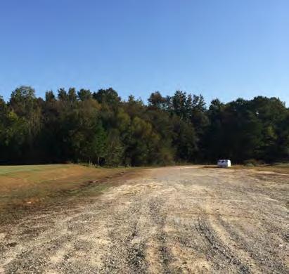
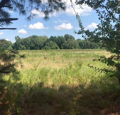


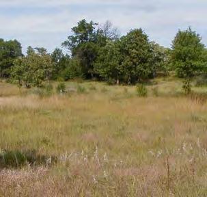
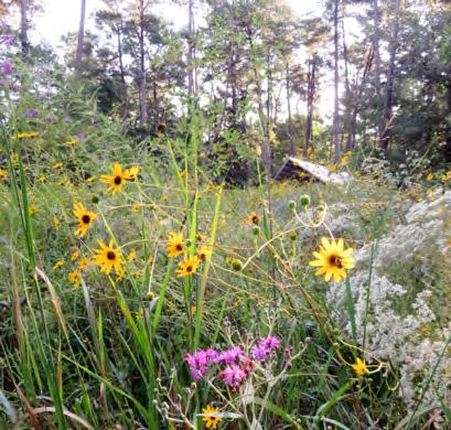
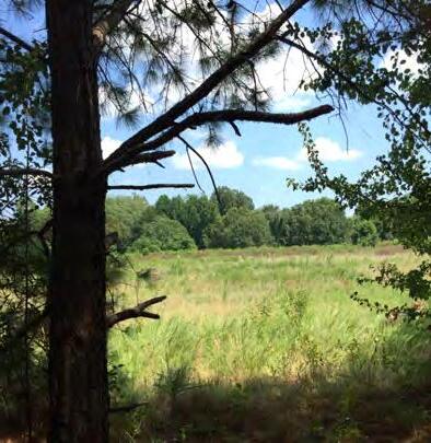
The range and character of proposed landscapes at Dix Park draw from the richness of North Carolina’s natural places. From the Coastal Plain to the Piedmont and the Appalachians, the state includes a diversity of geologic formations, plant communities, and habitats. In particular, Dix Park and Raleigh are located near the Fall Line—a zone where the hard rock of the Piedmont mingles with the softer sediments of the Coastal Plain. Proximity to this geologic feature combined with an advantageous climate, allows the Triangle Region to support over 20 native plant communities. Yet that diversity is absent from the Dix Park site today.
The Master Plan proposes improving the diversity and complexity of natural features found at the Dix Park site, through strategies such as restoring a native floodplain forest along the Rocky Branch and cultivating greater biodiversity in the mown lawn areas.



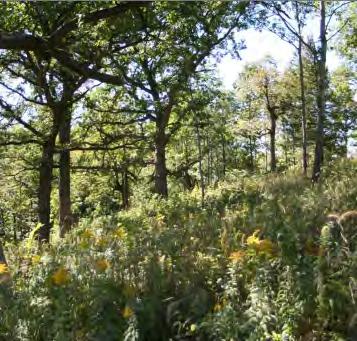
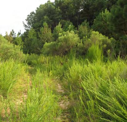


• 308 acres divided by the Norfolk and Southern railroad corridor
• A 25-minute walk from the North Carolina State Capitol Building
• 85 buildings with over 1.1 million square feet of interior space
• Roads and parking lots designed for office workers
• Separated from neighbors by existing roadways
• Lacking local connections to pedestrian and transit networks
• Neighboring institutions have developed their back-of-house operations facing what today is the park
Dix Park today retains a small piece of what was once a more expansive mosaic of rural and agricultural land. Conclusive, physical evidence of Native American inhabitation at the Dix Park site has not been found. However, based on the site’s attributes and historical research, it is possible that nomadic indigenous Americans utilized this land as hunting grounds prior to the 1700s.
In 1770, Colonel Theophilus Hunter Sr. established a 2,500 acre plantation in this area of Raleigh. While his primary residence, Spring Hill House today part of the nearby NC State University Spring Hill campus, was not on Dix Hospital property, some Dix Hospital land had been a part of the Hunter plantation where enslaved people farmed the land.
At times in its history, Dix Hospital maintained considerable farmland that was worked by patients as a part of a program of therapeutic exercise. The crops stocked the hospital kitchen and were sold at market. The farm grew as the hospital increased in size. By the early 1960s, it encompassed 1,853 acres, including “832 acres of cropland, 287 acres
of improved pasture land, 695 wooded acres … and 13 acres of ponds. There were 1,280 swine … 225 cows … and 8,000 layer hens.” (Haven on the

Hill, 97) The farm formally closed in 1974 and the land was transferred to the State Department of Agriculture. The historic Dairy Barn, currently on
NC State Spring Hill property, is a direct link to the hospital’s agricultural past, and may warrant a more prominent location in the future.
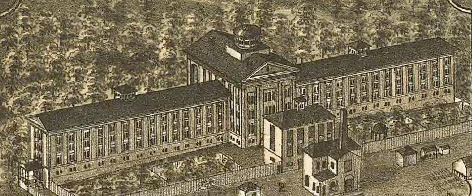
During the hospital era, landscapes and buildings were designed with an eye to patient treatment. Dorothea Dix believed in the importance of natural light and air: in her petition to the General Assembly of North Carolina for a “State

Hospital for the Protection and Cure of the Insane,” Dix cited Dr. Thomas Kirkbride, superintendent of the Pennsylvania Hospital for the Insane and an influential hospital designer, to the effect that “both physical and mental occupation” are helpful in treating the mentally ill. Governor John Morehead advised architect A. J. Davis to speak with Kirkbride as he prepared plans for the hospital. Davis designed the facility as a campus in which each patient’s room had a view, natural light, and fresh air.
The hospital’s footprint grew dramatically over the 20th century, due to an increase in patients and changing ideas about treatment. In a particularly busy time between 1949 and 1951, the hospital saw the completion of new patient cafeterias, 25 staff cottages, facilities for 100 epileptic children and 100 “disturbed men,” a nurses’ home, a recreation building, and a steam plant. New buildings tended to be added piecemeal, obscuring the clarity of Davis’s original design. The Master Plan aims to restore the power of the site’s original landscape and architecture.
Reflecting the range of landscape types throughout the region, the Master Plan proposes that Dix Park be transformed into a composition of six distinct landscapes: the Creek, the Meadow, the Ridge, the Grove, the Gateway, and the Valley. The creation of each landscape is informed by historical research, ecological analysis, and the urban design potential latent in the land itself. Altogether the six landscapes create a park offering something for everyone. The Creek, The Grove and The Meadow
are naturalistic environments that support passive recreation. The Ridge, The Gateway and The Valley accommodate active uses and programs.
The placement of the six landscapes responds to ecological features of the land, such as The Creek, which unites a singular riparian corridor. The six landscapes transcend some man-made features, such as the existing railroad corridor, to unify the park experience.
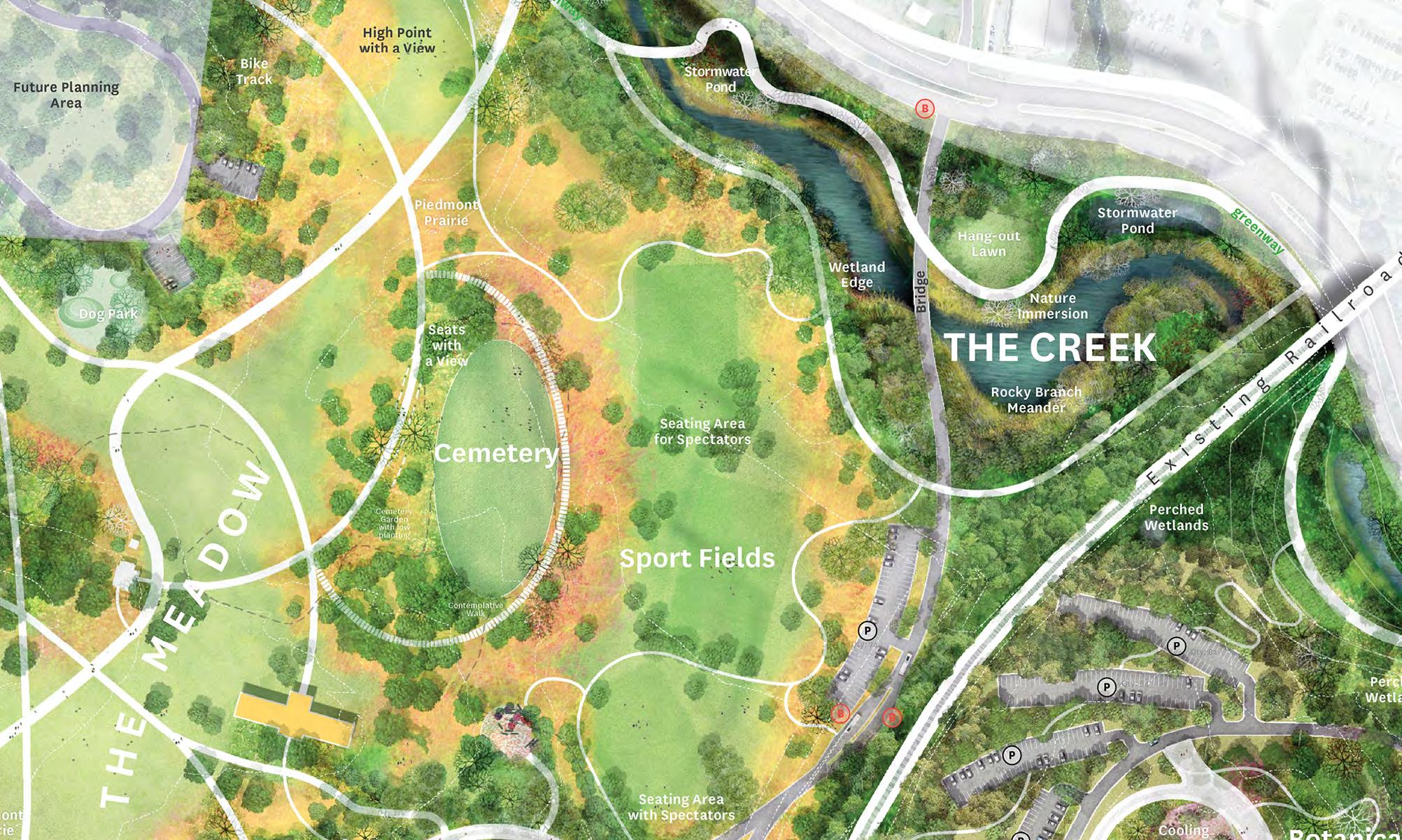
After decades of neglect, Rocky Branch, one of the essential natural elements of the Dix Park site, should be restored. The Master Plan proposes widening the stream to restore habitat and improve ecological function. The Creek will showcase the ecological diversity of the Piedmont’s wetlands along the gentle meander of the Rocky Branch’s restored course. It will be an area that connects visitors to nature and water.
The Meadow is a proposed expansion of the much-loved Big Field into a boundless-feeling common ground for Raleigh. Locals, newcomers, and visitors will be able to meet and wander along this landscape, which will extend Raleigh’s park and greenway network through Dix Park and link Pullen Park to the State Farmers Market. The opening up of the Meadow is a great opportunity to create a new regional-scale connection for pedestrians and bicyclists.
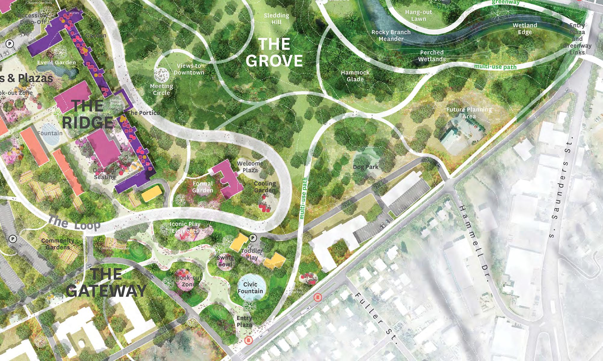
The Master Plan proposes a series of strategies to restore an area of the historic grove that became a site for cottages in the 1930s to 1950s. It complements the existing mature oak canopy with native understory plantings and shade gardens. The picturesque entry drive, today used mostly by vehicles, is reclaimed for pedestrians and bicyclists.
Improvements to The Gateway landscape embody the core park principle of opening up and creating new connections. The Master Plan proposes that The Gateway include several important new civic entrances to the park from Downtown and from Fuller Heights. Where a hedge and fences used to separate Dix Hospital patients from the surrounding community, a plaza with playgrounds and concessions will welcome visitors to the park.
The historic center of the site, The Ridge, will be reinvented as the civic heart of the park. The Master Plan proposes the revitalization of the former hospital campus and introduces cultural and social destinations united by the multiuse path known as The Loop.
Buildings that crowd the historic architecture will be opened up to make space for the city’s new outdoor living room.
The Valley, a low-lying area where the service buildings are concentrated, will be repurposed as a venue for concerts and other large events. Its design responds to the railroad that cuts through the low point of The Valley with an elevated trestle walk to enable pedestrians to traverse the site from The Ridge to the proposed Water Garden.
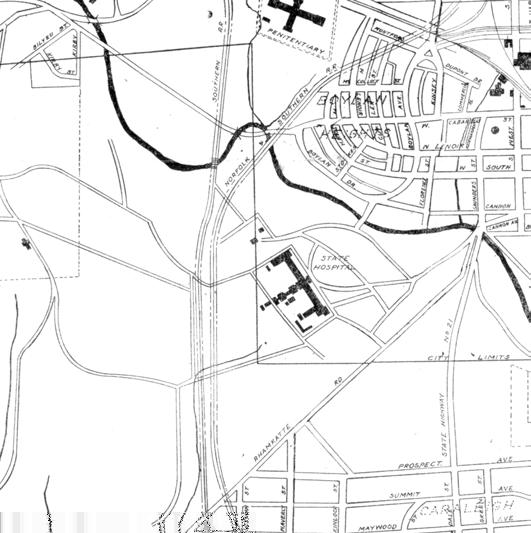
The Rocky Branch forms the northern edge of Dix Park and once supplied the hospital with nonpotable water. It has an embattled history. In the 1870s, an upstream landowner made changes that weakened the streambed and clogged the creek with sediment. Dams and pipes stabilized the hospital’s water supply. In 1902, the State Board of Health found that Rocky Branch’s water was “so contaminated by the hospital’s own slaughter pens and nearby A&M College that it was unsuitable even for bathing.” (Haven on the Hill, 51) The hospital purchased water to meet its needs, until it allowed Wake Water Company to create Lake Raleigh in 1913 by damming Walnut Creek, then a part of hospital property, in exchange for fifty million gallons of water a year.
In 1956, the hospital allowed the City to establish a municipal landfill along the Rocky Branch. As the landfill area grew to cover approximately 56 acres, the Rocky Branch's gentle meanders and broad natural channel seen in earlier historic maps were erased. The landfill contains an estimated 1.1 million cubic yards of waste. Buried materials in the landfill include concrete, styrofoam, asphalt, rubber, tires, brick, metal wire, plastic, wood, paper, hay, glass, cloth, nails, wood chips, and plastic bags.
In 1978, the North Carolina Division of Water Quality declared the Rocky Branch to be the state’s most polluted urban stream. The expansion and realignment of Western Boulevard in the 1990s, with its associated stormwater and sewer system
expansions, constrained the Rocky Branch even further.
Although the municipal landfill operations ceased in 1972, the area continued to receive fill from nearby construction projects until 2006. Today, the area is considered a “Pre-Regulatory Landfill,” which is defined as any land area on which municipal solid waste disposal occurred before 1983. Monitoring and remedial action plans for PreRegulatory Landfills are administered by the North Carolina Department of Environmental Quality's (NC DEQ) Inactive Hazardous Sites Program. Formal closure of the landfill at Dix Park, coordinated with proposed improvements to the Rocky Branch, is anticipated to require close collaboration with NC DEQ staff and consultants.
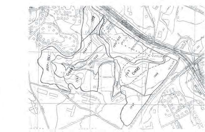
The Master Plan proposes three preliminary strategies to restore the creek’s severely degraded ecology: stormwater management, a widened creek channel, and coordination with the state’s planned landfill cleanup.
Stormwater ponds and other naturalized elements will manage water flowing from existing culverts and pipes under Western Boulevard, reducing water velocity and erosion, and allowing suspended materials to settle out. These naturalized stormwater management features will improve water quality in the creek, create new habitats for plants and animals, and provide opportunities for park visitors to experience a riparian landscape up close.
Today the creek channel is just 40 feet wide in many locations. Widening the creek's floodplain to approximately 100 to 150 feet will provide room for eddies, intricate edges and diverse habitats. This restoration will require major investment to reshape existing subgrade, introduce new soils and plants, and coordinate with landfill monitoring and remedial action plans by the North Carolina State Department of Environmental Quality and utility improvements by the City.
A range of restored ecosystems along the Rocky Branch will recall the Piedmont’s many landscapes and support a variety of plants and animals. They will also surround the Rocky Branch Greenway. The exaggerated banks of the creek will form berms that will protect Greenway users from the noise of Western Boulevard.


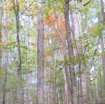

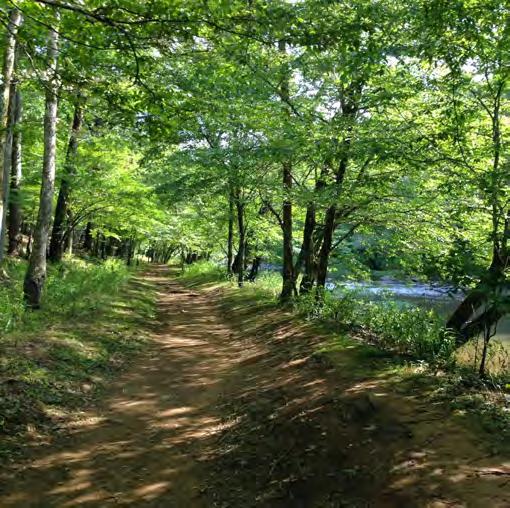
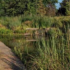

The Meadow recalls the boundless pastoral landscape of Raleigh’s recent past when agricultural fields created the western edge of the city.
The Big Field, as it is commonly known today, is one of the most popular areas of the site. Its large open space creates a feeling of freedom that is integral to the design of many other large urban parks, such as the Long Meadow in Prospect Park or Sheep Meadow in Central Park. As Raleigh continues to grow and change, an expansive, natural escape in the heart of the city will prove ever more valuable.
The Meadow will be a meeting point for all of Raleigh, used for a range of social activities that highlight the community’s diversity, from pickup football and soccer games to cookouts and birthday parties. In this open, common space, the many cultures of Raleigh and the Triangle will create a space that reflects the richness of the region.
A proposed land bridge will create a northsouth connection. From the NC State University Centennial Campus and the State Farmers Market over Western Boulevard to Pullen Park, Governor Morehead School, NC State University Main Campus, and all the way up to Hillsborough Street, integration with the city’s robust greenway system will enable greater pedestrian access to and through the park.
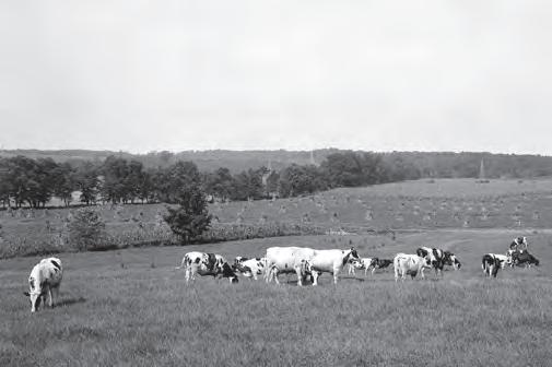
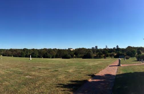
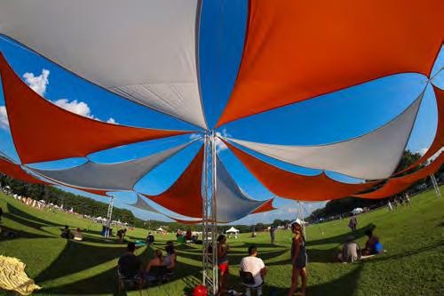


The Master Plan proposes enhancing the existing rows of mature oaks that form the perimeter of the Big Field with a robust edge of prairie and savanna plantings. The restored edge will strengthen the feeling of a clearing in the center of the park and extend the feeling of a boundless landscape by shaping views to areas off-site.
Extensive plantings will create a layered ecosystem that echoes North Carolina's Piedmont prairie. Flowering and fruit-bearing native understory plantings create habitat for birds and pollinator species. Butterfly and bird watching are two of the many educational opportunities this restored ecology has to offer visiting schoolchildren,
www.express.co.uk

university students, and adult learners. The depth and diversity of the edge will also visually shield the Big Field from potential future development on the adjacent NC State University Spring Hill property.
The cemetery located at the edge of The Meadow will also be improved; new plantings will help define it as a distinct space. The cemetery dates back to 1859 and contains approximately 900 graves, many of which were identified and marked by volunteers as recently as the 1990s. A new garden edge along one side will create a buffered, quiet, contemplative space for the historic site that respects those interred while integrating the cemetery into the larger park landscape.


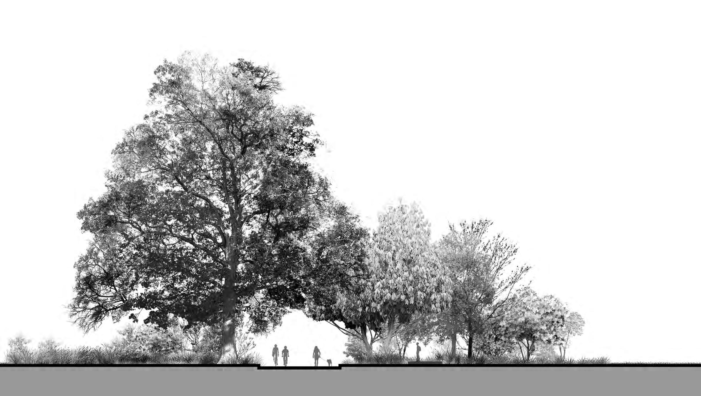

The Grove embodies the 19th-century picturesque ideals of A.J. Davis, the architect of the original Dix Hospital, and his contemporaries. The generosity and beauty of this open space is what inspired hospital patients and workers and neighbors from Boylan Heights to value the Dix Park site, invest in it, and work to protect it as a community amenity. The Grove was defined as a contributing (significant) landscape in the hospital's 1990 application to the National Register of Historic Places.
In the 1890s patients trimmed and felled trees in the Grove; the hospital built benches and swings “to create a park for patients.” (Haven on the Hill, 40) In 1919, a bridge over Rocky Branch was built at the request of Boylan Heights residents, who wanted to connect their neighborhood to the picturesque Grove. (Haven on the Hill, 55) In the 1990s, the Grove also benefited from tree-planting efforts by local volunteers in the wake of hurricane damage.
Raleigh is the "City of Oaks", an identity that The Grove will emphasize. The Master Plan proposes to restore The Grove’s former extent and its oak savanna ecology while retaining and enhancing what the community loves today: its views to downtown, hillside plantings, and winter sledding.
Cottages that have encroached on The Grove will be removed to make way for more oak savanna. The barrier of the railroad cut, another interruption, will be transcended with restored planting on both sides. In addition to rehabilitating the historic scenery, a series of constructed seeps are proposed which will recall the natural geology of the hillside. Seeps, wet areas where underground water emerges, will be designed to improve site stormwater management and resolve the erosion challenges present today.

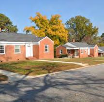
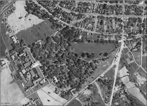

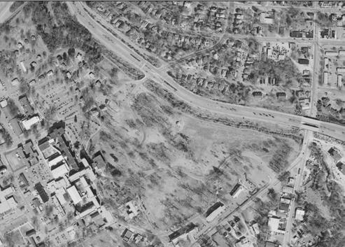

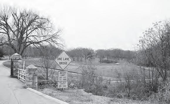

The site was originally chosen for the hospital in part for the abundance of springs on the site. By 1858, the hospital was getting its drinking water from a “never failing spring,” and as the hospital’s needs multiplied, more wells were dug. (Haven on the Hill, 14) Today stormwater bypasses the site via drains and underground structures, reducing infiltration on the hillside and worsening flooding at the Rocky Branch after a storm.
The Master Plan restores complexity to The Grove’s ecology through proposed improvements to the site's soils and stormwater infrastructure, that in turn will support more diverse plantings. Perched wetlands in the upper slope areas will be fed by and hold stormwater draining from the hilltop; after a storm, water will run slowly down to the Rocky Branch, filtered through the soil and vegetation of constructed seeps on its way. The lush hillside will support a wide array of plants, provide wetland habitat currently absent from much of the site, and shield the Rocky Branch from excess runoff and damaging erosion after storms.

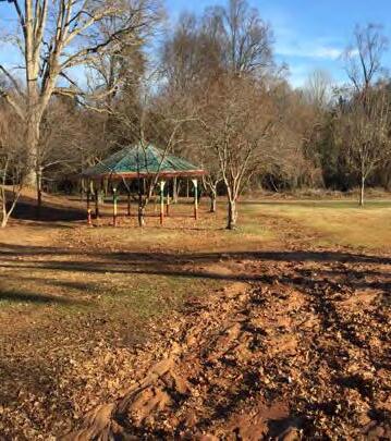





Improvements to The Gateway landscape embody the core park principle of opening up and creating new connections.
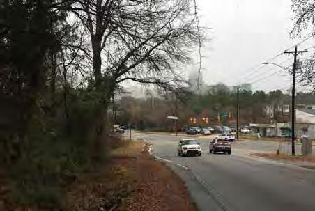
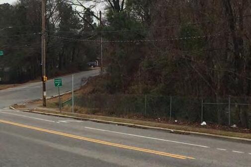
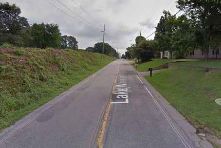
Historically, the Gateway edge of the site turned its back to the city and the nearby Fuller Heights neighborhood. Buildings were designed with their fronts to the hospital interior and their service areas toward Lake Wheeler Road. In 1896, gardener James Adams planted a mile-long hedge of osage orange trees to keep patients and farm animals in and outsiders out. Osage orange, with its dense foliage and sharp thorns, was commonly used as a barrier the way barbed wire is today. In recent years, the osage orange hedge has been replaced with chain-link fence along Lake Wheeler Road.
The Master Plan proposes transforming the corridor into a welcoming and active park edge. Crucially, The Gateway includes the only flat connection between Dix Park and an existing neighborhood—at Lake Wheeler Road and Grissom Street. This is where plaza spaces, play elements, repurposed historic buildings, and an easy connection to the center of the park are proposed. Bus stops will be located nearby to accommodate drop-offs from across the city.
The G ateway will be a destination in its own right and an invitation to enter and explore other parts of the park. It will serve as the main pedestrian, bicycle, and transit connection to Downtown Raleigh. The grade-separated underpass at South Saunders Street currently has a sidewalk connection but it must be improved with complete street elements such as lighting, seating, and planting for shade. This area will be the transition between Downtown Raleigh and the park.

A grand civic entry proposed for the Gateway landscape will create an immediate sense of arrival for visitors. As in MVVA's design for Kendall Square in Cambridge, MA, a wide path surrounded by garden planting can create a strong visual invitation to welcome visitors from the sidewalk edge. The path’s curved alignment suggests further activity beyond what the eye can see, drawing visitors deeper into the park.
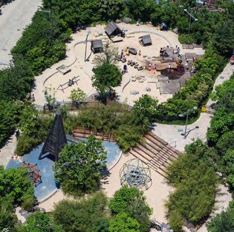
Play elements, oriented around a public plaza, are proposed to be an early investment for Dix Park’s Gateway edge to interest visitors from across the region. At MVVA's Brooklyn Bridge Park, the early realization of the Pier 6 play area created a new attraction that reframed visitor expectations of what had previously been an industrial and closed site. It transformed a place that once kept the public out into a place that invited them in.
New features proposed for the Gateway landscape will extend an invitation to explore. The Sky Bowl at Kendall Square offers a model for how an initial investment in a public space can create a harbor for public use in the middle of an area under development. When the Sky Bowl was first introduced, the surrounding buildings were under construction, and the site was somewhat forbidding. The Sky Bowl brought a sense of welcome to Kendall Square and thus established the park as an important public amenity.




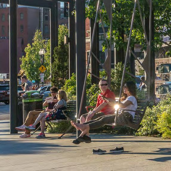

The Ridge is the geographic center and natural high point of the site. The Ridge is also known as Dix Hill and it offers sweeping views of surrounding areas. There is no conclusive physical or archival evidence that Native Americans occupied the site prior to the era of the Hunter plantation, but site review by the state archaeologist suggests it may have been a location for early habitation. During the Civil War, 17,000 Union soldiers occupied this high point above the city for its defensive advantage.
The most significant physical history inscribed in The Ridge is the original hospital building by architect A.J. Davis. The analysis at right describes the remaining historic materials still existing today. The hospital has seen decades of renovation and change.
The original hospital building was constructed by local contractors using the labor of enslaved persons. The site and the remaining hospital building fabric from the 1850s thus bear direct witness to the history of slavery in the region. One individual of note, whose life and work are connected to the original hospital building, is Stewart Ellison (1834-1899). Ellison was an AfricanAmerican man born into slavery, who worked as a carpenter on the Dix Hospital. Following emancipation, Ellison ran a successful carpentry business and in 1874, was elected to the North Carolina State Legislature. He went on to become an important civic leader and one of North Carolina's longest-serving black legislators of the 19th century.


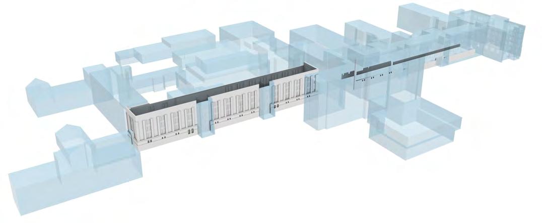
The varied condition and integrity of the Dix Hospital campus today means that its historic significance is not always easy to discern or interpret. Piecemeal renovations and additions to the campus have obscured the clarity of the original relationship between buildings and landscape.
The Master Plan proposes that The Ridge's most architecturally and culturally significant buildings be preserved, renovated, and adaptively reused. Other buildings will be demolished to make way for gardens and plazas that will open up and revitalize Dix Hill with new activities. Civic, outdoor spaces will welcome the public to enjoy and explore the most prominent areas of Ridge that offer sweeping views to Downtown Raleigh. Those spaces today are occupied and obscured by the hospital expansions of the mid-20th century.
The history of Dix Hospital will be revealed and shared by inviting visitors to explore the lowest level of the hospital wings where the original building material remains. Exhibits on hospital and Raleigh history are also envisioned to be incorporated throughout the renovated buildings.
One of the bold proposals of the Master Plan is a partial reconstruction of the Central Pavilion of Davis’s hospital to create a dramatic and historically resonant design element. While the original Central Pavilion was demolished in the 1950s, the Master Plan proposes to reimagine the historic form with new materials to serve as the threshold to the civic heart of the park. The pavilion will be a contemporary interpretation of the historic A.J. Davis design, re-imaging the relationship between the building and the land and celebrating the opening up of the views back to Downtown from this iconic location.
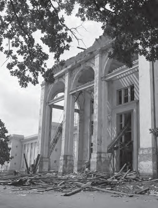

The Loop will be the city’s newest and most versatile public amenity because it will be enlivened and enriched by Raleigh’s greatest asset: its people.
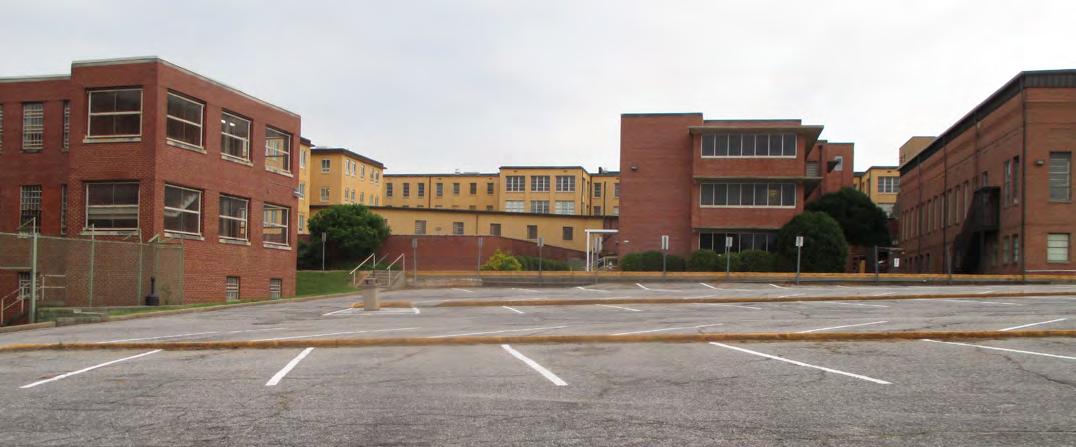
A multi-use path, The Loop, will connect the six park landscapes. The Loop is a circular route encircling the Ridge that is not possible to trace today; it will need to be created by making new connections through parking lots (pictured below), along the curves of Dix Hill, and across the railroad corridor at the existing bridge. The Loop is proposed to range in width from 24 to 48 feet, so that it can accommodate several lanes for bicycle and pedestrian movement. The Loop’s easy-tounderstand form will improve wayfinding around the park. The Loop will bring visitors through all the landscapes of the park and present them with a host of options for how to spend their time. It will
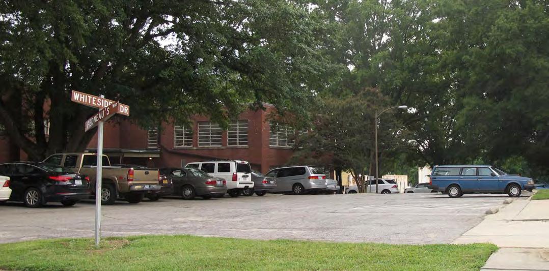
be lined with gardens, shaded seating and cookout zones, and event venues. It will be wide enough to safely separate bicyclists and runners and flat enough to be enjoyed by people of all ages and abilities.
The Loop will be the place to chat with friends from across town, look at a new art installation, or simply to watch the world go by. When family and friends visit town, Raleighites will bring them to the Loop to share the great natural and cultural heritage of the city and the fabulous views of Downtown. It will be the venue for charity races, civic actions that celebrate and memorialize, and everyday exercise.
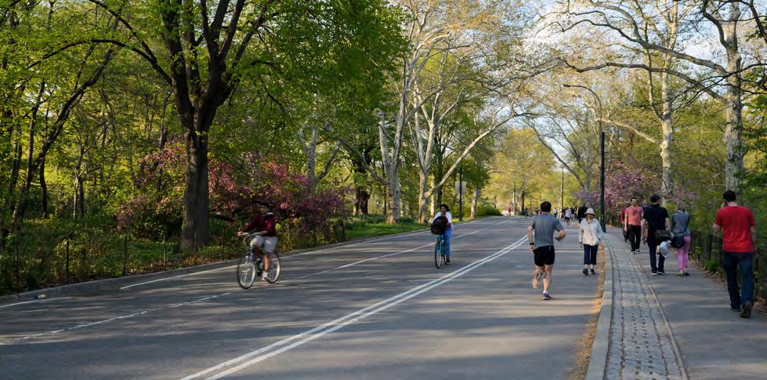
The Valley was the functional core of Dix Hospital, making steam to heat the rest of the facility. In 1890, the Dix Hospital board decided that the hospital should burn coal. To achieve this, the board granted the North Carolina Railroad a fifty-foot right-ofway in what today is The Valley in exchange for the construction of “a switch and sidetrack for coal and freight deliveries” (“Haven on the Hill,” 33). Over the next fifty years, various railroad rights-of-way were granted in exchange for supplies, splitting the hospital site down the middle. The industrial character of The Valley was reinforced when a steam plant was built there around 1950.
Most of the park’s other landscapes require editing and improvement. The Valley, on the other hand, demands radical reimagination. The first part of this reimagination is the introduction of a new elevated pedestrian connection across the site, as described in the next spread. Second, an amphitheater will provide a venue for large performances, events, and community functions such as graduations. The adaptive reuse of the steam plant will provide interior space for programs that benefit from being in close proximity to the amphitheater; those options include concessions such as a brewery and practice rooms for performers. Farther north, new courts for games like basketball, volleyball and tennis, will surround the existing Haywood Gymnasium as a part of an integrated sports and recreation network. Third, a Water Garden will anchor the western edge of the Valley.


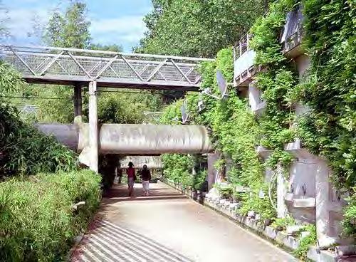
The Trestle, a new, proposed bridge for pedestrians and bicyclists, turns the site’s main division—the rail line down below—into a dramatic opportunity for a new elevated connection above. Jardin Des Bambous, at Parc De La Villette in Paris, is an example of how the trestle can relate to the sunken valley below and make an exciting, magical experience across the different landscapes.
The Trestle connects The Ridge, the bustling civic heart of the park, to the Water Garden. This constructed landscape, a naturalistic escape from the city, will inspire a sense of discovery, establishing it in the tradition of the grotto in the Parc des Buttes-Chaumont in Paris or the Vale of
Cashmere in Prospect Park, New York. However, it will be built from the details and the character of North Carolina’s Piedmont features.
The Water Garden will also shape views from the Meadow, blocking views that today lead to the operations yard of the State Farmers Market and instead, directing the eye toward the proposed Tiered Ponds areas and on to Walnut Creek.
Preliminary studies suggest that the Water Garden could be fed with treated stormwater and groundwater, contributing to the Master Plan’s water management strategy.


The framework structures the park program and the experience of arriving at and moving through the park. The framework is made up of the interrelated networks of paths, roads, entrances, and edges, as well as indoor and outdoor spaces that make the park accessible, easy to understand and use, public, and welcoming.
A park’s framework is enduring while accommodating change over time and maintaining the fundamental character of the park. As an example, Central Park’s robust framework has helped support different programs and community needs over the past 150 years.
This chapter describes in concept and in detail the proposed edges and relationships with park neighbors, the circulation and transportation systems, and the indoor and outdoor spaces that together compose the framework for the future Dix Park.
Great parks of the world balance enduring structural frameworks with elements that change and evolve over time, in response to dynamic urban contexts and the needs and interests of users.
The three great parks at right share several important structural characteristics, all of which contribute to their success:
• many options for entry and exit
• clear edges between the park and its surroundings, defined by roads and sidewalks
• an easily understood circulation network that organizes movement via different modes of transportation (public transit, cars, pedestrians, bicyclists, etc.)
• major park entries located near important transportation nodes, such as roadway intersections and transit stops
The great parks at right also evolve. The designers of the Parc des Buttes Chaumont, which opened in Paris in 1867, transformed a former quarry into a public space that remains popular. Today, it supports new uses such as a restaurant and dance venue and events such as a film festival. Central Park was substantially complete by the 1870s; its transverse roadways first supported
horse and carriage traffic. Notable elements such as the ice skating rink, outdoor theater (the home of Shakespeare in the Park), and restaurants were not included in the original design. In Chicago, Millennium and Maggie Daley Parks are 21st-century examples of successful public parks that have a clear framework for supporting recreational activities that will likely change over time.
On the following pages, the proposed framework for Dix Park applies these important lessons to entries, edges, circulation and transportation, and building uses. Recommendations for programs and partners are explored in later chapters.
Dix Park is unique among the world’s great parks in that is has so many existing buildings. Therefore, the Master Plan offers strategies and proposals for the adaptive reuse and removal of selected buildings, all in the service of transforming the site today into a great park that will serve the people of Raleigh tomorrow.
The Master Plan proposes creating clear park edges defined by roads and paths that are easy to understand, use, and navigate. These edges will be inviting, allowing passersby to look into the park and pedestrians and bicyclists to enter it. Cultivating dense and diverse neighborhood activity day and night along park edges is essential for safety.
The entrances to the park will be the user’s introduction to the park. As such, they hold great importance. All entrances must be both welcoming and clear, leaving no doubt that one is entering the park. This does not, however, mean that they should all follow the same design. Each entrance should reflect the character of its immediate surroundings. Such individuality can be expressed through the design of furnishings, the choice of pavement, landscape configuration, and other new elements.
The challenges of access and circulation at Dix Park stem from the fundamental issue of how to open up and connect to a site that was not designed for public use and enjoyment. Historically, the southwestern edge of Raleigh was where institutions dedicated to the incarcerated, mentally ill and people with disabilities were concentrated. These institutions included Central Prison, the Governor Morehead School, and an orphanage, all surrounding the mental health hospital. This history means the site will require significant modifications if it is to become a destination park.
Currently, circulation within and around Dix Park is confusing and unwelcoming. Roads within the site are strictly functional: they follow the fastest route to a specific building or, rather, its parking lot. They lack a uniform identity, which makes it hard for users to know where they are in the park. There is not adequate pedestrian or bike access, and Lake Wheeler Road lacks a sidewalk along much of its length. The park’s edges, meanwhile, are alternatively forbidding or unclear. As examples, Dix Park’s edge along the Rocky Branch and Western Blvd. blocks out the city with poor visibility through dense, invasive plantings, creating dark corners that can feel unsafe. Given that there are few signs or changes in the landscape, the park’s western boundary with NCSU Spring Hill is especially difficult to discern.
The Master Plan calls for roads and paths to define the park’s edges and open them to activity and sightlines. All of these strategies will create safe edges that will be active during the day and night.
Dix Park is surrounded by many institutions and a range of neighborhoods: NC State University Spring Hill, the Governor Morehead School, the State Farmers Market, the Holy Name of Jesus Cathedral, Fuller Heights, Boylan Heights and Kirby-Bilyeu Neighborhoods, and Pullen Park. This extraordinary richness and the close proximity to Downtown offers opportunities for Dix Park to connect to a large swath of the city and to benefit from larger circulation networks. As analyzed later in this chapter, Dix Park can become a park for the whole city and region by making the most of Raleigh’s existing infrastructure, including greenways and transit systems.
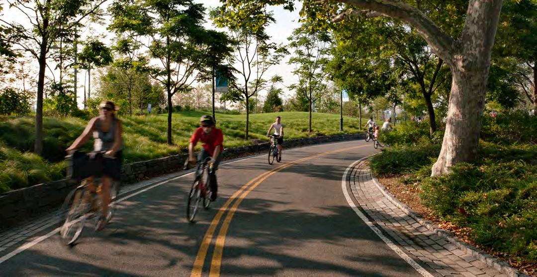
The proposed Loop, a 1.4 mile-long multi-use path, will bring visitors through the range of park landscapes, uniting what today is a disjointed and disconnected site at a relatively consistent elevation. Its location, at midslope on Dix Hill, will make the Loop both accessible and picturesque. It will improve wayfinding around the park, making it easy to understand where you are relative to other landmarks and the six landscapes. The Loop unites the east and west sides of the Ridge at the existing bridge over the rail corridor.
Like the circular routes in Central Park and Prospect Park, both designed by Frederick Law Olmsted, Dix Park’s Loop will orient the visitor to
the site and provide an inherently clear way to get around. When approaching from the edges of the park, one will always be able to find the Loop by walking toward the top of Dix Hill. And as a social space, it will be a destination in itself, both for walks and bike rides and to see and be seen.
The experience of moving around the Loop, on foot or by bicycle, is one of the most important activities proposed for Dix Park. The Loop will open up and connect the site in new ways; it builds from the existing topography to create accessible routes; and from the Loop, the range of park programs are visible.
1.4

www.virginia.org
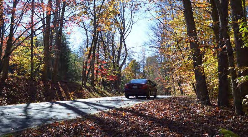
The Master Plan limits vehicular access to the park’s interior to a few key roads, leaving most of the park a car-free zone. That said, some level of vehicular access for emergency and maintenance services must also be accommodated.
Today, car travel and ease of use for vehicles shapes the layout of Dix Park’s existing roads and parking areas. Roads allow cars to reach specific buildings, with little concern for the pedestrian experience or the experience of the drivers as well. These roads don’t allow drivers to enjoy the park’s slower pace and encourage driving at fairly high speeds inappropriate to the future park.
The Master Plan aligns vehicular traffic patterns within the park to the overall park
experience. In order to prevent motorists from cutting through the park, roads will be designed in the form of “staples” that connect to the same perimeter road at two points. Sinuous road layouts will follow site topography, extending the pastoral experience to drivers and reducing traffic speed.
A flexible-use zone along the eastern edge of the Loop is proposed to accommodate vehicles during special events only. Most often, this flexibleuse zone will be available to pedestrians and bicyclists. The idea for the flexible use zone was developed in collaboration with city transportation planning staff, who anticipate the need to manage vehicular traffic at times of high use.
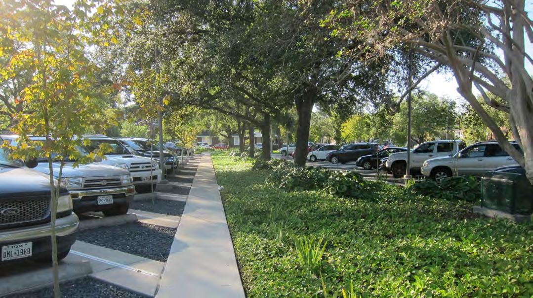
Easy-to-access parking near park amenities will allow Dix Park to welcome visitors from across the city, the region, and the state. While proposed transit upgrades and driving technology advances are anticipated, driving will remain an important mode of access in the short-term to mid-term life of the park. In addition, for the park to function as a state-wide destination, it must be able to accommodate users from outside the area served by Raleigh’s transit network.
Currently there are over 2,000 parking spaces across the hospital campus. The Master Plan proposes reducing that number and distributing parking gardens in strategic locations across the park.
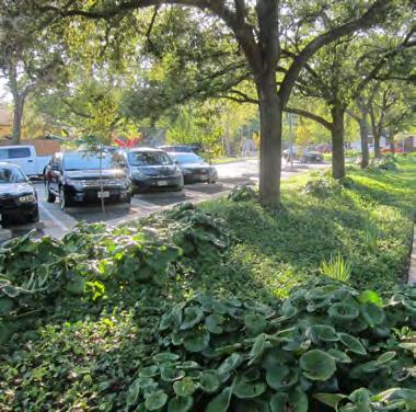
For everyday park use, the Master Plan proposes a series of shaded parking gardens that will help orient visitors to their place in the park. They will have associated stormwater treatment areas to manage runoff and improve water quality before it travels off-site or into groundwater. Parking gardens are proposed for existing flat areas of low landscape value, away from significant features to be preserved but still in proximity to prime park use zones. These parking gardens are planned for different phases of the park’s implementation, allowing adjustment of parking quantity based on the demand demonstrated in early phases.
newsobserver.com
The everyday parking proposed within the park is purposely not sufficient for large events with thousands of visitors. Parking for these special events will make use of weekend availability at nearby sites like NC State University Centennial Campus as well as at Downtown lots and structured parking. Such efforts will depend on strong working relationships with neighbor institutions. Connections between these off-site parking lots and the park will depend on improved local and regional transit, as well as dedicated shuttle buses during events.
Despite the number of surrounding institutions, the existing site is poorly served by public transit. For example, no public transit network currently stops at the State Farmers Market. However, several existing and planned
public transit networks can be extended to serve Dix Park. These include the GoRaleigh and GoTriangle public buses; the NC State Wolfline buses; and the Bus Rapid Transit (BRT) line that is currently in planning stages.
New transit stops should be located at major urban nodes, where the density of users and ridership will likely increase in the future. For this reason, the Master Plan proposes primary transit connections at South Saunders Street and Pullen Road along Western Blvd., but not at South Boylan Ave., where the potential to expand ridership is limited. In addition, as park plans are implemented public transit options inside the park, such as a trolley along the Loop, should also be considered.
= Proposed Bus Drop-off (public transit, shuttle buses to Downtown, Wolfline)
= Potential Bus Rapid Transit Stop, in planning stages as of February 2019

Dix Park will connect the Rocky Branch and Walnut Creek Greenway trails, creating a pedestrian and bike hub in the heart of the City. It will unify Raleigh’s already excellent greenway system and strengthen the link between NC State University and Downtown. This connection will also create an ecological corridor that supports habitat.
The master plan proposes moving the existing Rocky Branch Greenway further inside the park, immersing users in the restored landscape of the Rocky Branch during their bicycle ride, jog, or commute, and separating them from the noise and disruptions of Western Boulevard.
The master plan calls for creating a 16-foot wide bicycle and pedestrian trail along Lake Wheeler Road, which currently has no sidewalk. This will be necessary as Dix Park draws increased
pedestrian and bicycle traffic to the area and will also improve connections for residents of Fuller Heights and adjacent neighborhoods. The layout of the Lake Wheeler Road multi-use path incorporates a slight meander to bring users through the historic Grove while avoiding the existing steep slope and dangerous roadway condition near the intersection with South Saunders Street.
Together with the Rocky Branch Greenway and proposed Lake Wheeler multi-use path, the path network within Dix Park will create new options for east-west pedestrian and bicycle connections sorely lacking in this part of Raleigh.
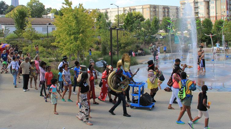
The proposed circulation network for pedestrians ranges from multi-use paths (paved and 16 feet wide) to park paths (paved and 5 to 10 feet wide) to informal paths (mown lawn or granular pavement). Which type of path gets built where depends on a number of factors and will be determined in later design phases; for instance, a slender paved path might lead from a building to a parking area, while a mown track or a gravel trail might cut through a field.
Whereas the current circulation network serves simply to convey cars from Point A to Point
B, the proposed system of pedestrian paths, plazas and cultural spaces will work together to encourage visitors to wander, stroll, and encounter something unexpected.
The diagram at right indicates areas where there is a dead-end or turn around point within the park vehicular roads. Opportunities to better connect these roads depend upon partnerships and cooperation with park neighbor, explored in the following pages.
There are six major moves around the park’s perimeter that will better link Dix Park to Raleigh’s circulation and transportation networks. The expanded network helps connect park roads to important neighbors and exterior roadways. These improvements require agreements with neighbors, agencies and other project partners as they include impacts to land outside Dix Park’s 308 acres.
The Land Bridge Pullen Road Extension
NC State University at Spring Hill
State Farmers Market
The I-40 Intersection
Lake Wheeler Road to Downtown
The proposed Land Bridge creates a safe, grade-separated connection between Dix Park and Pullen Park, Governor Morehead School, and NCSU Main Campus. Rather than compete with the extraordinary and well-loved resources of Pullen Park, Dix Park will capitalize on its existing strengths and offer program not available there.
NC State University Spring Hill may be developed simultaneously to Dix Park. Robust pedestrian and bike connections across Spring Hill are needed to link Dix Park to the existing Centennial Campus. The Dix Park Master Plan suggests a network hierarchy illustrated in the diagram to the right.
The Pullen Road Extension, which is currently under development, is an anticipated stop for both future Bus Rapid Transit and the NC State Wolfline, providing a major point of transfer between two transit systems. The Master Plan proposes extending the network south through NC State University property.
The diagram also illustrates a proposed connection through the State Farmers Market to better link the park with Centennial Parkway to the southeast. It also provides opportunities for re-routing the State Farmers Market wholesale truck route and consolidating parking areas for the market and park.
Proposed changes to Lake Wheeler Road are intended to ensure it does not become over-burdened by vehicular traffic between I-40 and downtown. The Master Plan proposes a reconfigured intersection at Lake Wheeler Road and Centennial Parkway near the exit from Interstate 40, encouraging north-south traffic to move to the higher-capacity Centennial Boulevard. This will allow Lake Wheeler Road to remain a smaller-scale local corridor that can accommodate the proposed multi-use path, more frequent intersections safe for pedestrian and bike crossings, and expanded bus stops.
Dix Park should reach out and connect to as much of Raleigh as possible. A well-connected park promotes easy access for all. The direct connection between downtown and Dix Park is critical. There is an opportunity for the culture, activity and character of Downtown to extend to Dix Park. Examples of improvements to be made include:
• Public transit stops
• Complete street infrastructure such as sidewalks, pedestrian- and bike-friendly intersections, benches, bike lanes, street trees
• New buildings with cafes, shops, and event spaces at ground level
• Direct connection to the Convention Center/ Fayetteville Street core of Downtown Additionally, programs today associated with downtown Raleigh may be expanded to take advantage of park facilities. Potential examples include:
• Park as an additional venue for weekend festivals, supporting performances, market areas and food/ drink concessions
• Park as convention center satellite location, hosting vendor fairs, lectures or presentations
• Park as a play and lunchtime break spot for school children visiting the capital city from all over the state
Weekend and event use at the park will require adjustments to transit, including public bus routes with more frequent service and new shuttle bus routes. All of these actions require future study and further coordination and collaboration with City Planning and other public agencies.
Existing and proposed multi-modal networks at the junction of Downtown Raleigh and Dix Park have the potential to yield greater connectivity and improved access for visitors arriving from many points.
A network of improved connections goes beyond a single route or infrastructure change and therefore can serve a diverse range of visitors. The Southern Gateway call-out, noted at right, builds from the City of Raleigh’s previous corridor study in this area and includes proposed changes to the McDowell Street interchange at Western Blvd and other improvements that clarify a hierarchy of north-south vehicular connections. Additionally, greater community investment in and use of the Downtown and regional public transit networks, including city buses, rail, and anticipated Bus Rapid Transit, supports a wellfunctioning Dix Park. It decreases private vehicle use and thus the need for parking at Dix Park.
The efforts of this Master Plan, in continued coordination with state, county, and city transportation planners, will reinforce the park’s vital connections to Downtown.
West Street Improvements (City Transportation) and the Dix to Devereux Greenway (2017 Wake County Greenway System Plan)
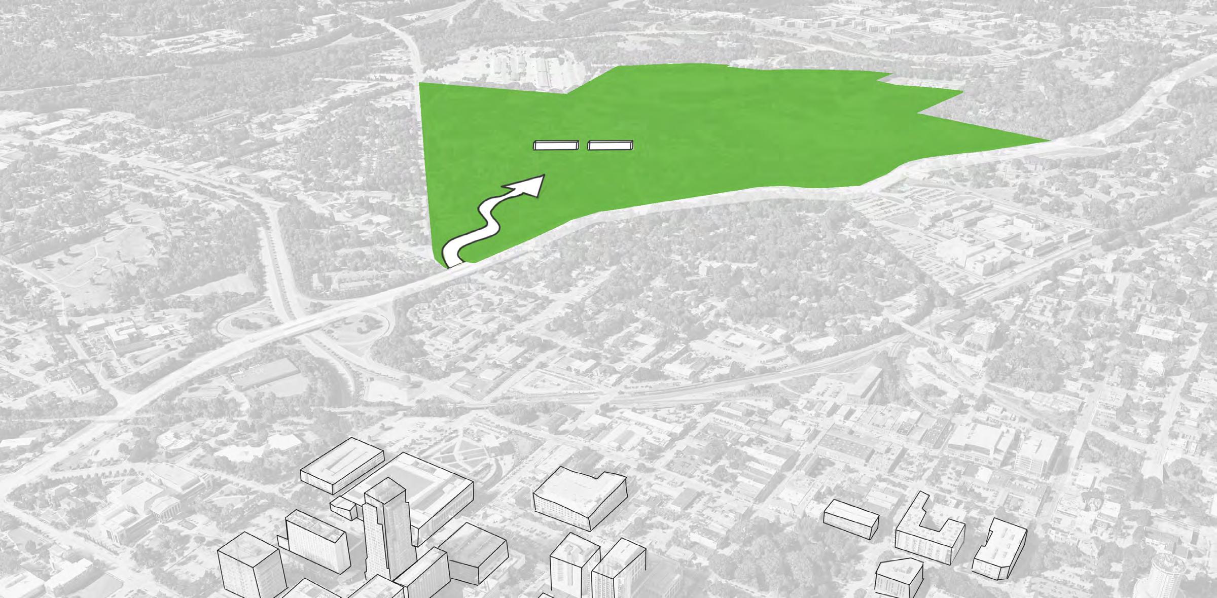
PROPOSED: Multi-Modal Transit Link, Including Rapid Transit Stop, Introduced To Western Blvd. Overpass/ South Saunders Intersection
Overpass at South St.
PROPOSED: Sidewalk, Lighting, Planting, and Street Furnishing Improvements to Underpass
PROPOSED: Transform the Meeting of Western Blvd. and South Boylan Ave. Into a Regular Four-Way Intersection
PROPOSED: Transform the Intersection of Western Blvd. and South Boylan Ave. to Be a Regular Four-Way Intersection for All Modes
PROPOSED: Bus Rapid Transit Stops Along Western Blvd. at Locations That Work Well for the Park
ANTICIPATED: Extension of West Street At Railroad Crossing By City
ANTICIPATED: Dix to Devereux Multi-Use Path (Raleigh Pigeon House Trail Connector) From Wake County Greenway System Plan (2017)

PROPOSED: Work With the State Farmers Market to Introduce Pedestrian and Cyclist Access Around Its Perimeter
PROPOSED: Create a Series of Intersections That Align Vehicular and Pedestrian Access Across Both Sides of Lake Wheeler Road
PROPOSED: The Reconfiguration of the Lake Wheeler Road/Centennial Pkwy./I-40 Interchange Ensures Lake Wheeler Road Remains a Lower-Volume Road and Not a Shortcut Into Downtown
STATE FARMERS MARKET
FULLER HEIGHTS
PROPOSED: The Intersection of Lake Wheeler Road and Grissom Street Becomes the Primary New Entry Into Dix Park for all Modes (Pedestrians, Bicyclists, Vehicles, Transit)
PROPOSED: Bus Stops Between Grissom and Fuller Streets Along Lake Wheeler Road
ANTICIPATED: As Part of the Southern Gateway Corridor Study, Create a Network of Regular, Four-Way Intersections Along South Saunders Street to Support Safe Use by Pedestrians and Cyclists
The four lanes of Western Boulevard today form a barrier in this stretch with few safe crossings. Western Boulevard is also a major obstacle to moving between the several NC State University campuses. The proposed land bridge over Western Blvd. provides a safe and pleasant crossing that will improve regional connections for pedestrians and bicyclists moving between NC State University Main Campus, Pullen Park, Governor Morehead School, NC State University Spring Hill, and points beyond.
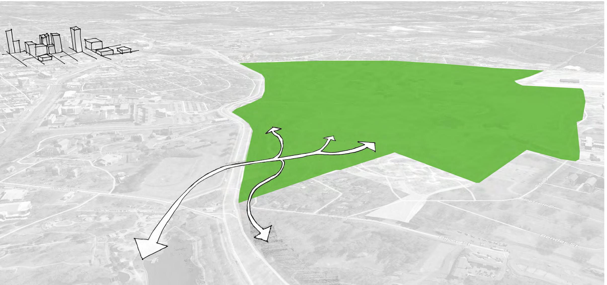
PROPOSED: To Improve Sight Lines and Safety, Shift the Existing Hunt Drive Intersection Deeper Into the Park and Further from the Curve in Western Blvd. Concentrate New Transit Connections at this Improved Intersection
ANTICIPATED: As Part of Wake County Transportation Planning, Western Blvd. is Broadened to Include Dedicated Bus Rapid Transit Lanes, Connecting Cary to Downtown Raleigh
GOVERNOR MOREHEAD SCHOOL
PROPOSED: Provide a Safe and Uninterrupted Crossing for Pedestrians and Cyclists at the Land bridge. Connect Dix Park to Pullen Park and Connect NC State University Spring Hill to NC State University Main Campus. Work with Governor Morehead School to Coordinate Changes and Improve Park Access for the School Community
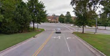
EXISTING: Hunt Drive Intersection has Limited Visibility at the Curve in Western Blvd near the Railroad Crossing
PROPOSED: Improve the Pedestrian Crossing as S. Boylan Ave. by Regularizing the Intersection Into a Four-Way, Lighted Intersection
ANTICIPATED: Closure of Bilyeu Street at Western Blvd
PROPOSED: Extend Pedestrian and Bike Access Around Kirby-Bilyeu Neighborhood Along the Former Roadbed

PROPOSED: Pullen Rd. to Centennial Pkwy. Becomes a New Major Connection Between 1-40 and Points North
PROPOSED: Major East-West Connection for Cyclists and Pedestrians Between Downtown and NC State University Centennial Campus
PROPOSED: Multi-Use Paths Connect Centennial Campus to Spring Hill, Designed for User Comfort, Shade, and Safety
PROPOSED: Work With NC State University to Introduce Pedestrian and Cyclist Access to Dix Park Through the Existing Low Point. Create an Underpass Under Centennial Pkwy. to Separate from Cars
PROPOSED: Reconfigure 1-40 Interchange to Direct Traffic to Centennial Pkwy. and Point North. Lake Wheeler Rd. Remains a Lower-Volume Roadway
A viewshed is the area visible from a given location. Viewsheds are defined and analyzed so that desired specific views can be preserved or designed. There are two categories of viewsheds to consider in the Dix Park Master Plan process:
• TO BE PRESERVED—iconic, existing views from the park to Downtown Raleigh
• TO BE DESIGNED—views from proposed park places
For the existing viewsheds from the A.J. Davis Building at Dix Hill and the Dix Cemetery, the objective is to preserve views that are already a beloved feature of the Dix Park site. The façade of the A.J. Davis’s original hospital was oriented on top of the ridge to take advantage of sweeping views to Downtown Raleigh, so preserving and even enhancing this view is a way to recognize the site’s history. By planning to preserve views from the Dix Cemetery to the Downtown skyline beyond, the view is also preserved from nearby areas such as the Flower Cottage.
Preserving these views will require coordination with neighboring properties to ensure no large-scale buildings are permitted to obscure or dominate the existing view.


The second type of viewshed involves places proposed in the Master Plan. Properties to the west are of particular concern.
Today, the rolling topography of Spring Hill stretches gently uphill from the proposed Hub and The Meadow at Dix Park. The potential future development of NC State University’s Spring Hill Campus will change this edge. The Master Plan suggests that a tiered approach to building height and setbacks on this property, keeping buildings closest to Dix Park low and allowing those furthest from the park to rise higher, will maintain the boundless experience of The Meadow.
The proposed elevated spaces of the Water Garden and elevated Trestle walk will allow for more expansive views toward the southwest, into the State Farmers Market property and toward Walnut Creek. The Master Plan proposes extending the park’s greenway connections all the way to the Walnut Creek Greenway along this corridor. The viewsheds in this area of the park would also take advantage of the existing wooded areas that lead park visitors toward Walnut Creek. Strategic removal of invasive species and restoration of the tree canopy will help shape this viewshed.
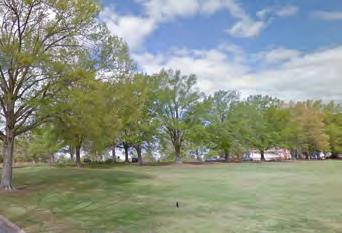
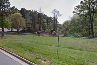
It is a unique challenge to create a public park from a site that has over 80 existing buildings. While some of the existing buildings offer a significant connection to the site’s history, others have been substantially altered over the years, and many are in fair to poor condition. The framework for evaluating existing buildings was developed in collaboration with members of the Master Plan Advisory Committee and informed by the standards established by the Department of the Interior for the National Historic Register. The following six principles guide the evaluation process of existing buildings:
• Recognize that transforming a hospital into a park requires a reinvention existing buildings
• Honor A.J. Davis’s positioning of the hospital at the top of Dix Hill and its orientation toward Downtown Raleigh
• Understand that “rehabilitation” is the most appropriate treatment of these historic resources given the change of use from a hospital to a park
• Recognize that much of the hospital’s history was as a campus that fostered a healing relationship to the land
• Advocate for buildings and building uses in the park that contribute positively to the life of the park
• Pursue a strategy for buildings that supports the financial sustainability of the park
There are several reasons why investing in building improvements supports the future park:
• Some buildings are located within the district as defined by the National Register of Historic Places application (1990) and are historically significant
• Some buildings represent a network of social ties that are felt in the local community
• The buildings’ unique character, materials, and connections to site history cannot be replaced if they are demolished
• A park of this size requires many support buildings
• An adaptive reuse strategy will have less intense impacts on the site than a demolish-rebuild strategy
• An adaptive reuse strategy, as demonstrated by other successful projects around North Carolina, offers the potential to transform the existing structures from financial liabilities to spaces that contribute positively to the public life of the park
• Existing buildings span The Ridge—a natural place for facilities and exhibits to support visitors’ understanding of Dix Park’s history and its relationship to the city
• Active use of buildings supports an active and safe park

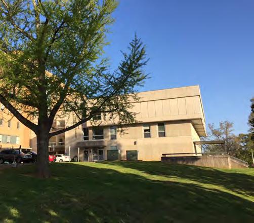
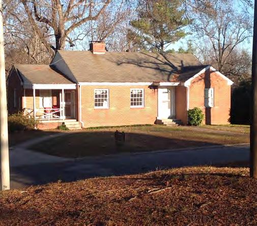
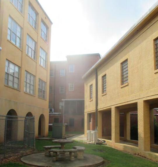
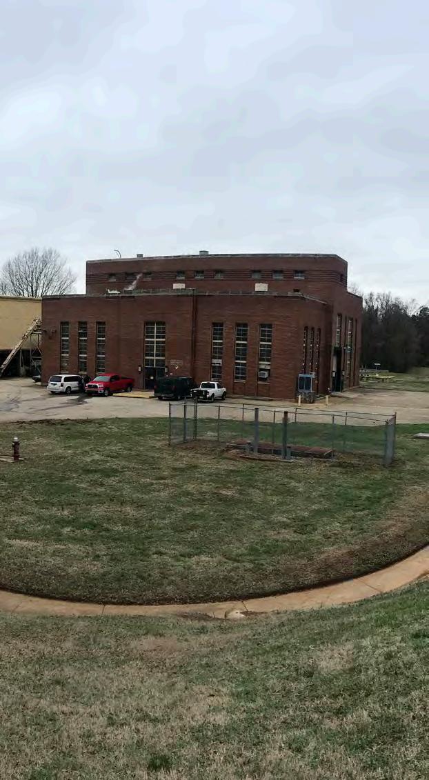
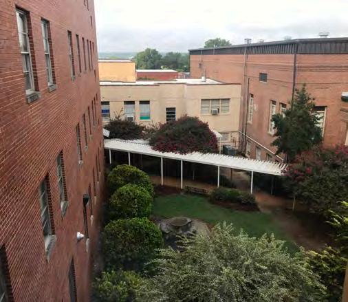
There are obstacles to reusing existing buildings. Many do not meet modern accessibility standards. Some contain hazardous materials that would need to be removed or contained. Many of the existing buildings are supported by centralized, aging utility systems which will require replacement.
The existing buildings at the Dix Park site were constructed between 1856 and 2000. In 1990, when Dorothea Dix Hospital was nominated to the National Register of Historic Places, buildings and landscapes were evaluated based on the Department of the Interior’s standards of significance and integrity. Some buildings at the Dix Park site, such as the A.J. Davis hospital wings, were found to lack integrity, due to extensive renovations, yet retain significance due to their connections to important historical events and individuals. Other buildings at the Dix Park site, such as the Buffaloe House (#73 at right), demonstrate greater integrity, but have a weaker connection to the significant events and people of the site’s past.
The Master Plan provides criteria for decisionmaking relative to building reuse, suggests building removals that open up the potential of the park landscapes, and explores a rationale for reinvesting in structures that support the life of the park. It does not determine the exact plan for preserving, adapting and demolishing buildings on the Dix Park site. All future decisions regarding building reuse. renovation, and construction will require further analysis and will be part of a public process that will ultimately require City Council approval.
Four criteria were used to evaluate existing buildings and determine the Master Plan’s recommendations:
CRITERIA 1—Historic Significance
• Does the building have integrity today?
• Is it located within the historic district?
• Was it noted as historically significant by the criteria of the 1990 National Historic Register application?
CRITERIA 2—Cost to Rehabilitate
• What is the existing condition of the roof and building systems?
• Does the building require modifications to be accessible?
• Does it contain hazardous materials?
CRITERIA 3—Fit for Reuse
• Are there desirable characteristics, such as views or details?
• Is the building a good fit for contemporary programs?
CRITERIA 4—Fit for the Park
• Does the building honor the history and legacy of the site?
• Can the building support indoor needs at the park, such as event spaces or park offices?
• Does the location of the building help or hinder the opening up of the two park axes?
• Through adaptive reuse, does the building have potential to support park operations and maintenance?
Currently, the State of North Carolina spends approximately $14 million a year to operate the hospital campus as work spaces and offices for state employees. If the existing buildings were to remain as is, these costs might burden the future park or even the overall park system.
Adaptive reuse of buildings through partnerships could support the park for years to come. Uses in park buildings might include an event hall rented for weddings and reunions; lease agreements with park partners that commit to uses that are park supportive; and food and drink concessions.
To allow for a measure of flexibility for future park administration, the Master Plan proposes demolition of the least viable buildings (as determined by the four criteria above) and reserving the total footprint of those buildings 8 acres for potential future uses. This represents no increase in the footprint of buildings occupying the park site.
The reopening of the civic axis allows the park to recreate historic viewsheds, now blocked by buildings, and makes a new important connection for park visitors between Downtown Raleigh, the State Farmers Market, and all points in between. It also restores the “front door” of the Central Pavilion that was an important part of A.J. Davis’s hospital design through the removal of the Hargrove and McBryde East buildings.
The creation of the park axis removes buildings along the ridge at Dix Hill in order to create an accessible, relatively flat connection between the Fuller Heights neighborhood and NC State University.
The two axes establish the grain and scale of park open spaces and orient visitors to connections to surrounding neighborhoods. The removal of some buildings restores clear points of access and sunlight to the buildings that remain.
Buildings in a park, through their design and public access, also have great potential to incorporate and demonstrate best practices in sustainability, including energy conservation, the use of local materials, and the inventive integration of programs, exhibits, and public spaces not found in more typical buildings or private development.
In total, 32 buildings are proposed to remain and be rehabilitated; 53 buildings are proposed to be removed. The complex that exists today is unwelcoming. The proposed removals will make the remaining buildings more approachable and more hospitable.
Proposed building removals can be grouped into five clusters that facilitate the creation of major park elements:
A. The existing Big Field is opened up and expanded to become the Meadow. The removal of buildings extends views and creates a larger, boundless landscape.
B. The Grove is expanded with the removal of a series of small cottages built in the 1930’s and 1950’s. (The scale, layout and condition of the existing cottages would make them challenging to reuse.) The reclaimed parkland provides pedestrian access to the Creek and the Ridge. It includes hillside and shade gardens with accessible parking and rain gardens in the repurposed space.
C. A .J. Davis’s placement of the hospital at the top of Dix Hill is honored by removing 20th-century building additions and creating space for visitors on The Ridge. Buildings with a connection to site history and that create public and park benefit are retained for future uses.
D. The civic axis connects The Ridge to the State Farmers Market and makes room for accessible parking and stormwater systems. “Backof-house” support buildings for the former hospital that are not well suited to support park programs are removed.
E. The park axis linking the Ridge and the Meadow is strengthened by the removal of four buildings. The reclaimed parkland includes the Loop, the Hub, and the forests and gardens at the very center of the park.
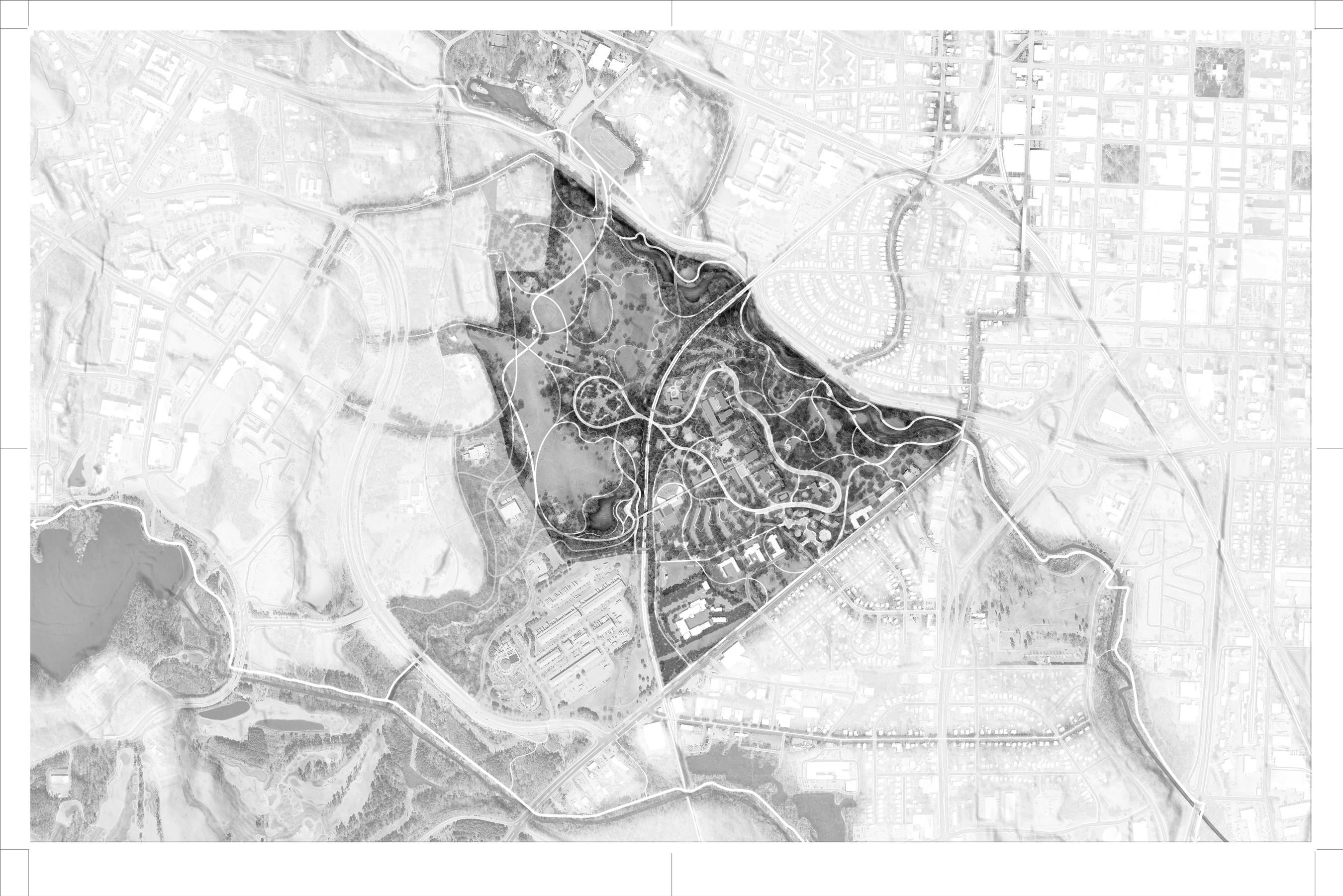
The Master Plan recommends a balanced approach to building retention and removal. Selective investment and demolition will provide the park with a balance of indoor and outdoor amenities, especially at the heart of the hospital complex (where the original A.J. Davis central pavilion included a more inclusive space). The carved-out spaces are invitations to the public to use the park as they like and thus influence park program.
The following pages explore three different “test-fits” or program options for the buildings proposed to be retained and rehabilitated at The Ridge. The program options have been drawn from popular requests received from public feedback during the engagement process as well as comparisons to successful examples of adaptive reuse from other cities. Importantly, the Master Plan does not commit to one of the three options. Rather, aspects of all three options should be pursued. A mix of programs and uses at the Ridge is essential and achieved by pursuing aspects of all three options.
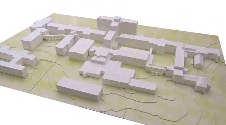

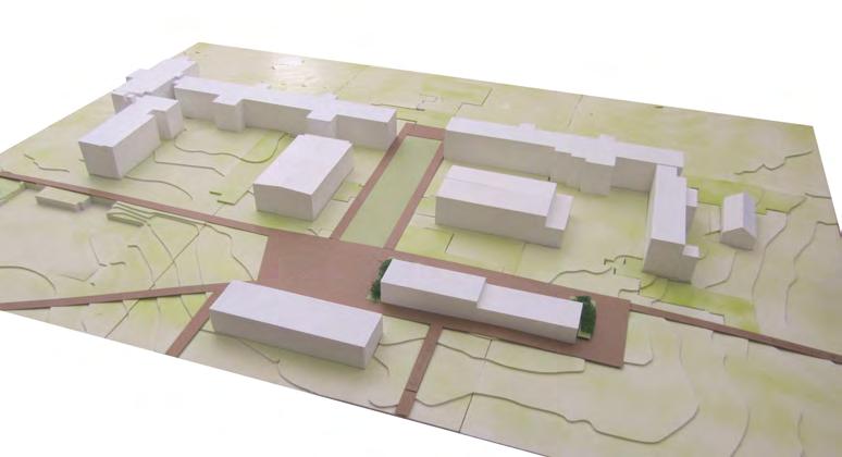

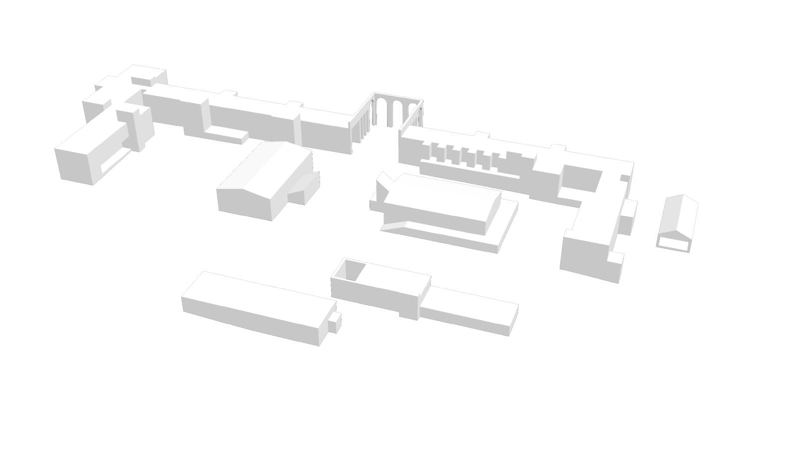


• Embed site-specific and changing art installations that tell the story of the site in indoor and outdoor spaces
• Host educational sessions, performances, and rotating art exhibits
• Create workshop spaces and studios in existing buildings; invite regional makers and artists to showcase their works in progress
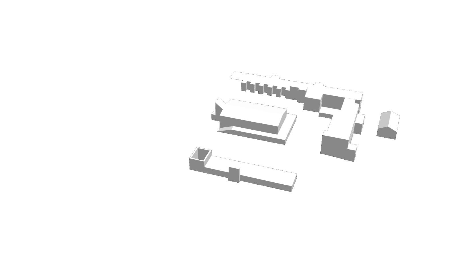


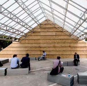
• Expand spaces for local businesses and social service organizations
• Create pavilions and support spaces for family reunions, class reunions, graduations, and meetings of nonprofit organizations
• Host beloved community events that visitors look forward to annually, such as festivals, markets, tournaments, and fairs


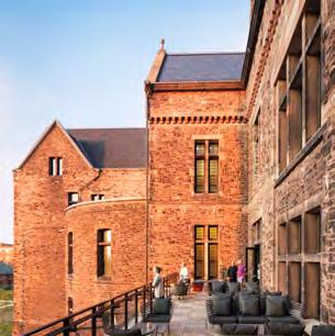

• Celebrate the special location, great views to Downtown and historic significance of The Ridge with rooftop gardens and plazas
• Offer tours that share the hospital’s history
• Provide restaurants, meeting rooms, and accommodations at a range of price points to serve visitors from across the Triangle Region, the state, and beyond
Unlike the enduring framework outlined in the previous chapter, program—the things people do at Dix Park—will change over time in response to evolving community needs. This chapter organizes the program into six themes: wellness and play, gardens and ecology, history and reflection, arts and culture, food and community, and park support. These themes summarize thousands of responses from participants at committee meetings, via digital platforms, and at Master Plan-related events. The themes encompass the uses and activities respondents desire today, while also capturing a range of potential future uses, ensuring that the park continues to offer something for everyone.
The quality and character of these program elements will set Dix Park apart from other parks in and around Raleigh. Some of these elements will be unique to Dix Park within the Triangle Region; others, like sport courts, can be found elsewhere, but will be exceptional at Dix Park by virtue of their quality and location. One theme, which received broad support throughout the feedback process, is that the park program include elements that support the wellness and well-being of the local community. For more specific recommendations related to wellness and the many ways in which that theme can be applied to Dix Park, see the Dix Park Conservancy’s Legacy Committee report from August 2018. By offering unique and distinct experiences, Dix Park will be both a fixture in the daily life of residents and an important destination for Raleigh visitors.
Important aspirations for Dorothea Dix Park are realized through a commitment to the three Core Principles: Open Up and Connect, Build From What Is There, and Offer Something for Everyone. These aspirations include shaping park access to improve equity, supporting diverse experiences of nature and culture, making use of the site’s existing resources strategically and sustainably, and creating new spaces to support wellness and well-being for all visitors.
A public park is a democratic space. Walking through a park can be a way to tap into the energy and character of a community—by watching games, participating in events, or bumping into friends from other parts of town. This sense of community enhances the feeling of welcome and safety for all park visitors. At the same time, a great park includes the complementary experience of being in nature by providing spaces for relaxation, delight, and solitude.
Raleigh is growing. Dix Park offers the citizens of Raleigh a place for wellness, relaxation, civic participation, and natural discovery that will help unite the growing population through shared experiences and connections to the land. The Master Plan outlines a range of possible programs, but also recognizes that program offerings will change over time to support the changing needs of the community.
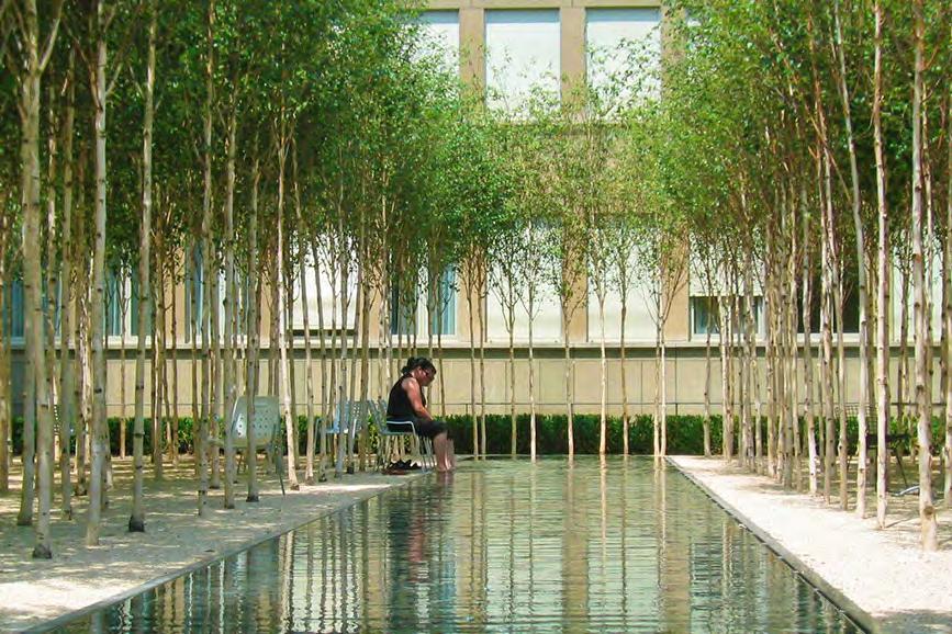
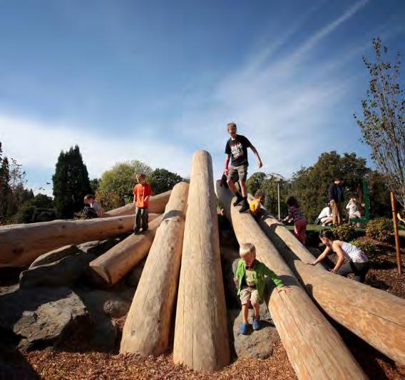


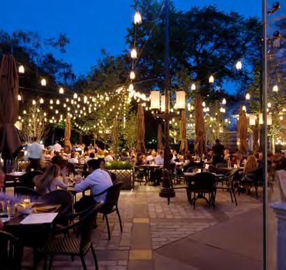
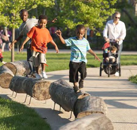
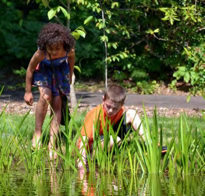
One of Dix Park’s primary goals is to be a park for everyone, a democratic and inclusive space. Activities that foster a sense of community and allow visitors and residents to share experiences are key to achieving that goal.
As Dix Hospital evolved from a single building into a sprawling 20th-century hospital complex, the surrounding landscape maintained its agricultural and rural character. The dual nature of the site will make it possible for Dix Park to be two complementary things: a scenic park in the 19th-century pastoral tradition, providing natural experiences apart from the city, and an activated park for the 21st century, offering a wide range of activities and opportunities for civic engagement. The world’s great parks all strike a balance between pastoral and active program.
At Dix Park, the primary pastoral landscapes are The Creek, The Grove, and The Meadow. The Creek restores a degraded floodway and connects to an existing greenway system. The Grove improves the historic cultural landscape through new plantings and pathways. The Meadow proposes greater ecological complexity on the edge of the existing Big Field to create a new common ground for Raleigh.
The active park landscapes include The Valley, The Ridge, and The Gateway. The Valley features a performance area and the proposed trestle walk. At The Ridge, selective building rehabilitation and removal makes way for outdoor courtyards and plazas that can host cultural programs. The Gateway introduces civic spaces to the edge of the park, strengthening connections to
Fuller Heights and Downtown.
Dix Park will become a place for all of Raleigh to come together by taking advantage of the landscape’s unique capacity to support urban, civic, and social activities in close proximity to natural features. Offering a robust range of programs will ensure that Dix Park has something for everybody, including both local and regional visitors.
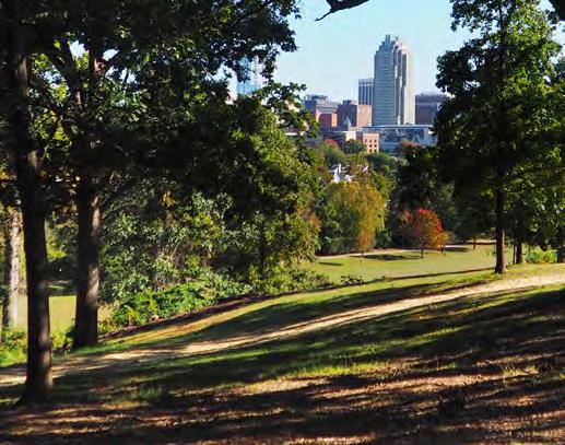
Pastoral

Dix Park’s pastoral side will reflect the landscape’s 19th century past, when parks were seen as retreats from the stress of city life. This vision of the park remains powerful, and Dix Park will incorporate and accentuate the existing topography and ecology to create secluded, quiet moments of landscaped beauty in the growing city of Raleigh. It will bring the richness of the Piedmont to a site near Downtown, reinforcing Raleigh’s roots in its region as it becomes a leading city for an increasingly large part of the country.
The activated park complements the pastoral park and encompasses the cultural, athletic, civic, and social elements of the park experience. Cultural elements can include food fairs, concerts, performances, outdoor movies, and walking tours. Athletic activities may include field and court sports and running and biking along paths. Civic or social components are interactions among people, including talking, playing sports, and
people-watching. These activities foster community and allow both visitors and residents to share experiences—the primary role of the contemporary urban park.
The activated includes both organized and casual activities. Organized programming could include sports leagues, dance classes, art lessons, and music performances. Other programs, like nature walks, history tours, and plant identification classes will connect visitors to the land and the history of the park. Casual activities might include playing Frisbee or catch. Dix Park will also take advantage of Raleigh’s relatively cool summer evenings by offering activities and events after the sun goes down.
Food events that build on Raleigh’s growing farm-to-table culture and rotating arts and culture offerings will encourage repeat visits. Such features as food concessions at multiple price points, shade gardens for cooling down, and accessible bathrooms will allow visitors to make Dix Park a part of their everyday lives.
“Wellness: A state of complete physical, mental, and social well-being, and not merely the absence of disease or infirmity” —The World Health Organization
Many recent studies have shown that spending time in a natural setting can improve physical, mental, and social well-being, confirming the beliefs of Dorothea Dix. These pages pair wellness and play because a park space is most successful when it supports both simultaneously. Examples include a well-designed sports court set within a grove of trees and an open field reserved for wandering and exercise. Dix Park will be a respite from busy urban lives, a place to rejuvenate, to encourage mindfulness, and to experience the healing potential of natural spaces.
Dix Park will house a range of play areas for all ages and abilities. In addition to traditional play elements like slides and swings, there will be areas for play where natural materials arranged for exploration provide exposure to the uncertainty and excitement of the natural world. Water play in fountains and on splash pads stimulates sensory experience and cools people down in summer. Opportunities for play will be threaded through the park with elements like the proposed wooden swings near the existing Biggs Drive.
Dix Park will offer an array of sports facilities, from tennis and basketball courts to soccer fields and running trails. Sports provide important opportunities for community-building based on shared passions as well as direct health benefits.
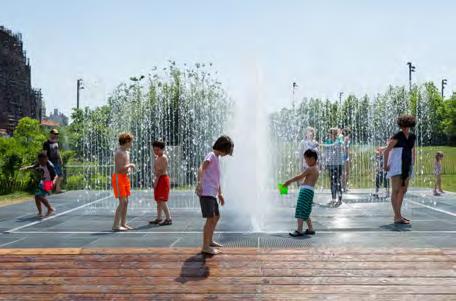


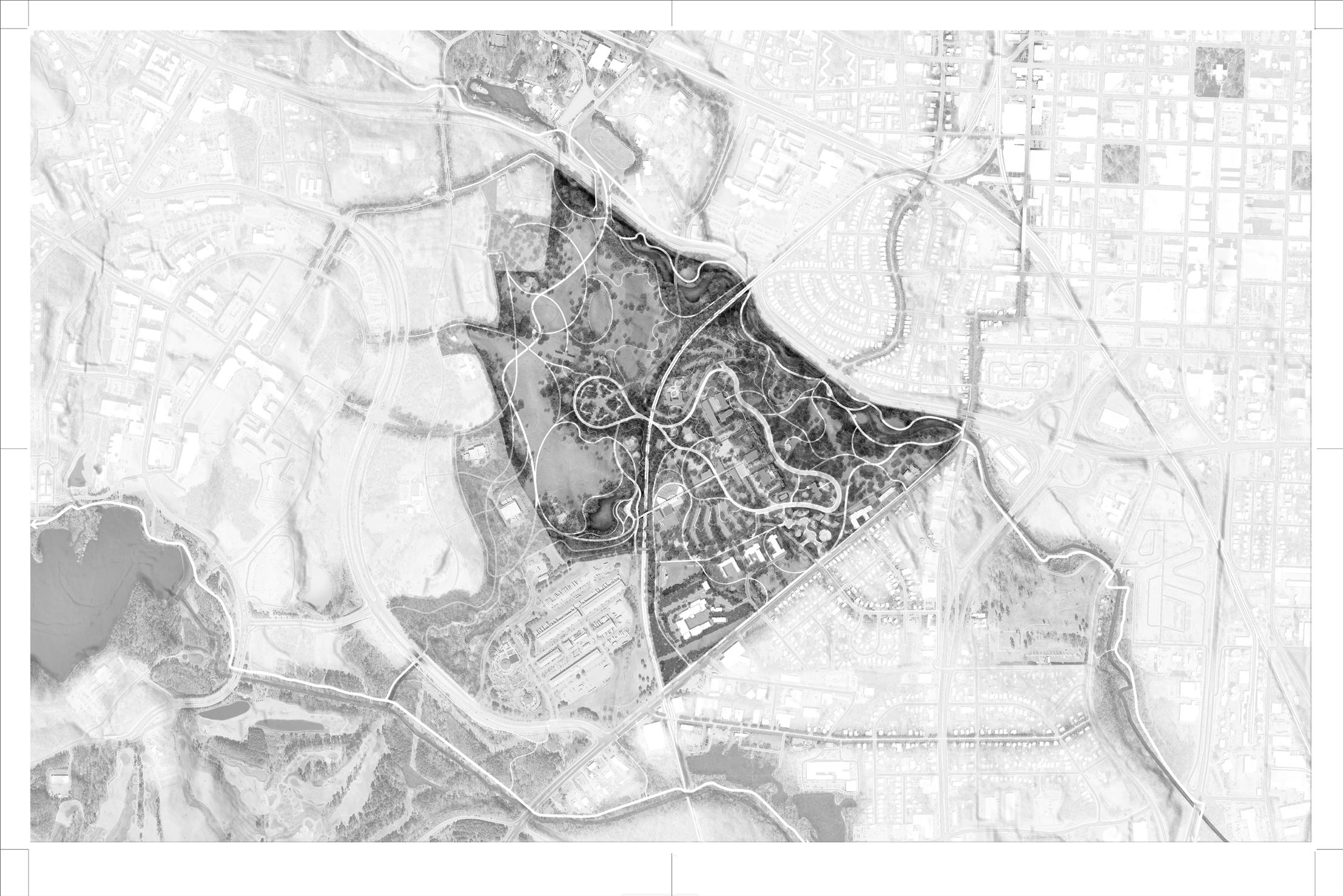
Perched on the Fall Line between North Carolina’s Piedmont and Coastal Plain, Dix Park can support a wide range of restored ecosystems. Its 308 acres have the potential to be Raleigh’s flagship venue for environmental awareness and education.
NATURE EDUCATION AND ACTIVITIES
The restored landscapes of Dix Park can be thought of as an outdoor classroom, showing both children and adults the potential of the natural world. Educational opportunities may include tours led by naturalists, garden visits, and community gardening classes. Additionally the park can serve as a living laboratory for study and exploration by students at such nearby colleges as NC State, Meredith, Shaw, William Peace, St. Augustine’s, and Wake Tech.
QUIET RETREAT
One of the most important functions of an urban park is to provide a quiet retreat from everyday life. Especially as Raleigh grows and becomes denser, the park will serve as a reminder of the area’s rural past and a much-needed escape for a walk, run, or bike ride.
PLANT DIVERSITY AND WILDLIFE
Proposed improvements to Dix Park’s water and land systems at the Creek, the Grove, and the Meadow will improve plant and wildlife diversity. One example is the selection of plant species at the prairie edge of the Meadow that support pollinator species. Observing Dix Park wildlife will become an important park activity.

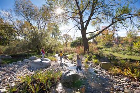


Areas for Gardens and Ecology
Pine Forest around the The Hub provides a unique cathedral-like experience with high branches
The Botanical Gardens at the Grove include education programs on native North Carolina flora and areas for reflection
Piedmont Prairie supports pollinators and provides learning opportunities on the periphery of its lawns
The Creek provides a continuous and immersive ecological experience along a restored riparian edge
Seeps and wetlands in the Grove help prevent erosion and echo the natural systems of the Carolina Piedmont Community Gardens
The layered history of the people who have lived and worked on the site will inform and enrich Dix Park, encouraging visitors to contribute to a more empathetic, compassionate, and empowered city. Dix Park cannot resolve all the challenges of Raleigh’s past and present, but it can preserve spaces where education and critical conversations can occur.
Museum exhibits, markers, and memorials are traditional means of interpreting the history of a site. At Dix Park, these can be installed in specific locations, such as the hospital cemetery or rooms within some of the rehabilitated buildings, to recognize important historical figures and events.
LANDSCAPE HERITAGE
Restored ecosystems will recall both the wild landscapes of North Carolina and the agricultural history of the site, preserving their stories for future visitors.
Local organizations will be invited to share their perspectives on history and contribute to park programs that address all of Raleigh’s communities. One potential partner that embodies Dix Park’s Core Principles and that has received great support through the community engagement process is Raleigh’s African-American American Cultural Complex.
PROGRAM
Tours, oral histories, lectures, and performances will share details and stories from the site’s history.
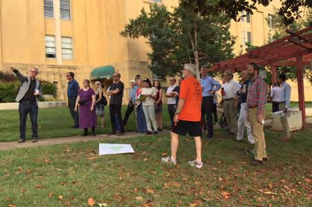

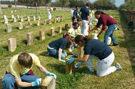

Historic approach to hilltop preserved for pedestrians and bicyclists
Harvey Building rehabilitated as visitor center with site history exhibits and archives, including material on Dorothea Dix; Buffalo and Benner Cottages rehabilitated for park programs, as well as for youth space and concessions
Earliest architectural materials preserved with interpretation on construction by enslaved persons; interior and exterior spaces within the Ridge designed for rotating art exhibits and events
Stone houses rehabilitated for park programs, such as office(s) for cultural/historical partners
Chapel rehabilitated for park programs, such as lectures and events
Rock with Civil War-era markings preserved; interpretative materials added
Cemetery preserved; interpretative materials added; new paths and gardens available for reflection
New planting design and park paths frame the Spring Hill House and unite it visually with the Meadow; interpretative materials added
Raleigh has a strong and growing artistic community. Dix Park has the opportunity to support the arts by offering spaces for creative expression for people young and old, beginners and professionals. The park can provide places where Raleighites can discover and develop their gifts.
As Raleigh grows, so does the need for space for rehearsals, performances, and exhibitions of all sizes. The indoor and outdoors spaces of Dix Park can fulfill those needs, for local and regional creators as well as visiting artists.
With Raleigh’s growth comes increasing diversity and the need for places where different cultures can be highlighted and celebrated. Dix Park can be that gathering space for multi-cultural festivals, music performances, and art shows.
Site-specific works inspired by the park's landscapes and buildings can deepen visitors’ understanding of Dix Park’s past and potential.
Creative works can share and interpret the complicated and invisible histories of the site. Art can take the shape of sculptures, installations, musical and theatrical performances, and more.


Areas for Arts and Culture
Entry Plaza at the Gateway for installations and events
Exhibit Halls and Maker Spaces in the rehabilitated carpentry and maintenance buildings
Rehabilitated Royster Building to support cultural institutions
Valley Amphitheater (proposed) can accommodate up to 7,000 people for concerts and community events; the rehabilitated Steam Plant will offer performance support spaces such as practice rooms, green rooms, and concessions
Food is an important expression of culture and community. Dix Park will provide cookout areas where visitors can prepare their own meals as well as concessions, markets, and community gardens. The park also will open its edges to connect to the State Farmers Market, which highlights the agriculture of North Carolina.
Today, picnic shelters throughout the city parks system are booked all summer long with birthday parties, reunions, and celebrations. Dix Park will offer more outdoor and indoor spaces where families and friends can get together.
Raleigh has a vibrant food and restaurant scene. Dix Park can welcome the city's vendors, chefs, and concessions to some of the site’s historic buildings, where both indoor and outdoor seating will be provided. A range of prices for concessions will help to offer something for everyone.
Raleigh already hosts a number of food festivals. Examples include the International Festival, the Raleigh Food & Wine Festival, and the Raleigh Tamale Festival. Dix Park will have the capacity to host similar festivals or satellite events to bring people together around food.
The Master Plan proposes the creation of a series of community gardens as well as the introduction of fruitbearing plants in some locations. These planted areas connect to the agricultural legacy of the site and link the park with its western neighbors, the State Farmers Market, the Inter Faith Food Shuttle, and NC State University's agricultural programs.

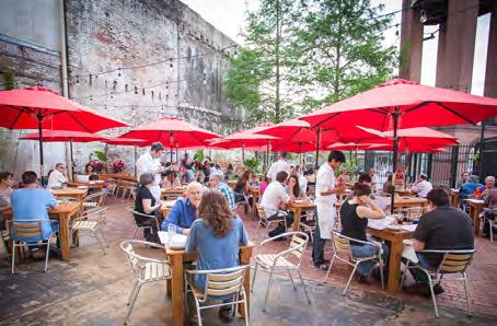
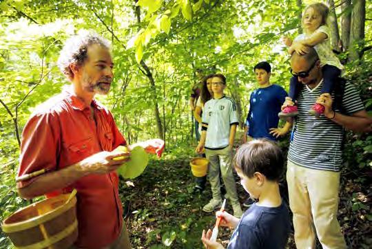

Areas for Food and Community
Cookout Zone at the Gateway
Space at the Ridge for Restaurants, Temporary Markets, Food Events, and a Culinary Center
Event Halls used as venues for Family Reunions, Weddings, and other large gatherings
Cookout Zone at the Meadow, near the State Farmers Market
The Hub which hosts Meet-ups, Cookouts and Food Events
for Picnicking at the Meadow
A world-class park requires several elements:
PROGRAMS THAT MEET BASIC NEEDS
Some program elements are necessary for running a park. These include bathrooms, vehicle and bike parking, service and emergency vehicle access, transit stops, composting areas, maintenance yards, and administrative offices. Maintaining such a complex landscape will create many new jobs. This job creation and training can help benefit the community.
PROGRAMS THAT GENERATE ACTIVITY
Active public spaces are successful public spaces. This concept was best explained by the urban theorist Jane Jacobs, who showed the world that greater activity in her city’s streets supported safety and community investment, leading to even more activity. An area with a mixture of uses including outdoor seating areas, evening education sessions, community rooms, work spaces, art and history exhibits, concessions (food/drink), and weekend events will have this same effect. Dix Park is proposed to support activity throughout the day and week so that the park becomes safe and welcoming.
PROGRAMS THAT SUPPORT OPERATIONS & MAINTENANCE COSTS
The Master Plan identifies a range of program options that can support the long-term financial sustainability and success of the park, including food and beverage concessions, merchandise sales, and short- and long-term rental opportunities.
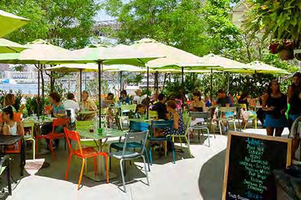
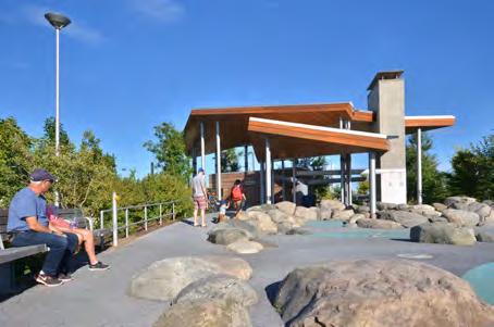

Areas reserved for future study
Service area and loading at the Valley Theater
Existing maintenance building (preserved)
Existing Lineberger Building (rehabilitated with administrative offices)
Existing Kirby Building (partially rehabilitated, partially demolished for use as a field house, with public bathrooms, changing spaces, and offices for events staff)
Proposed parking areas for everyday park visitors
Buildings that generate activity by program theme:
and Community
PROPOSED PARK VISITOR CENTER WITH COMMUNITY MEETING ROOMS, EXHIBIT SPACE ON SITE HISTORY AND ARCHIVES
HISTORICALLY SIGNIFICANT BUILDINGS PROPOSED TO BE REHABILITATED AND ADAPTED TO NEW, PARKSUPPORTIVE USES
Transforming a site into a great public park takes more than money. Creating ecologically and socially diverse spaces also requires an investment of human capital, strong community interest, and a core group to take responsibility for supporting the park vision over the long term. Dix Park will require dedicated city administrators and advisors, of course, but it will also need community involvement.
Restored natural landscapes require intensive stewardship in the early “establishment” period and continued stewardship over the long-term. Training for master gardeners could be made available throughout the year, as weekday, weekend, or evening programs. Volunteer roles could extend for single seasons, or over many years.
Sustainable urban horticulture thrives when there is an active community of professionals and
volunteers knowledgeable about taxonomy, plant pathology, soil health, entomology, cultural growing requirements, sustainable gardening, and invasive species management. A stewardship program at Dix Park could educate both master gardeners and everyday park users. The result will be diverse and thriving environments at Dix Park and beyond.
The dense accumulation of dormitoryscale historic architecture at the heart of Dix Park presents an opportunity to introduce temporary residency programs that support park stewardship. One possibility is a residential summer academy for training and educating young people looking to participate more directly in the environmental stewardship. Such a program could attract students from across the country.


Because Raleigh lacks a waterfront park, The Creek may become an important destination for residents. Both views and physical access to The Creek will be provided. The Creek will encourage visitors to get close to riparian features and habitat. Individual pursuits such as bird-watching, walking along the banks, jumping across on stepping stones, and even an area for sailing toy boats at a broadened meander will be privileged over spaces for largegroup activities. These activities will offer a deep experience of nature in the middle of a growing city. As wetland ecologies in the region are further impacted by urban expansion, visitors will reap the benefits of this ecological restoration.
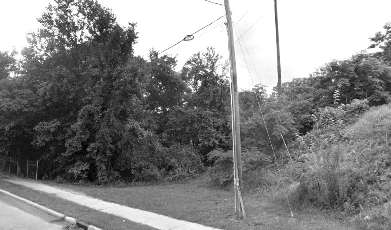
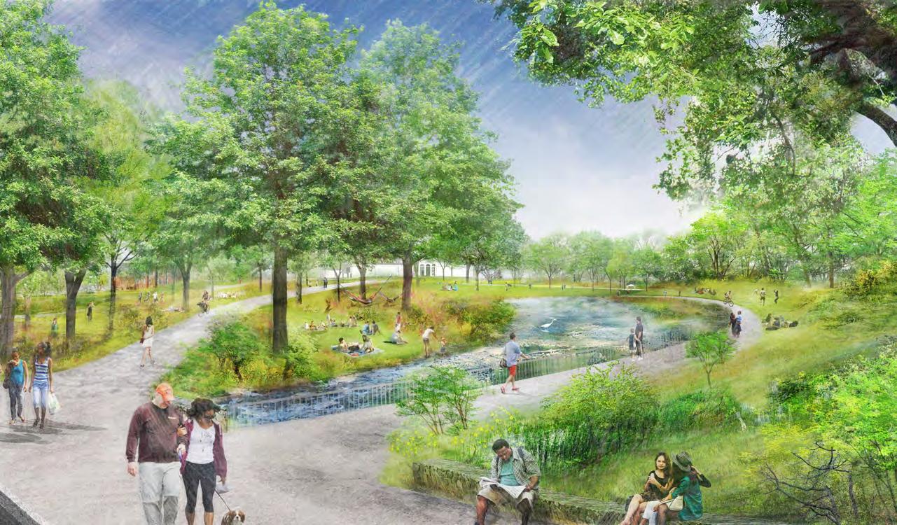
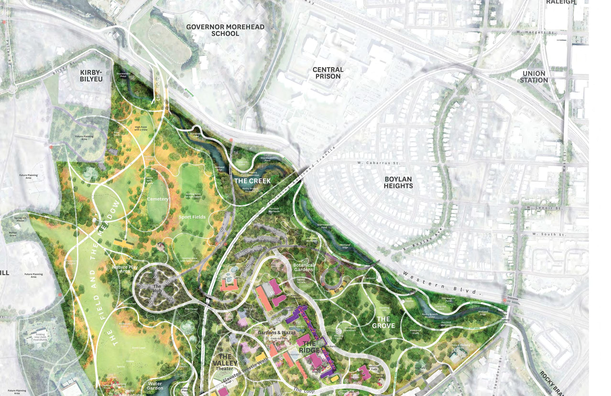
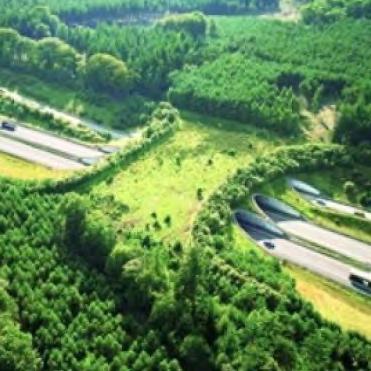


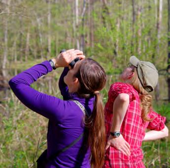


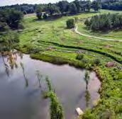
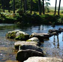
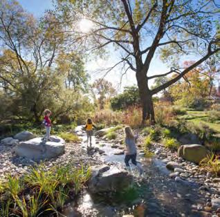
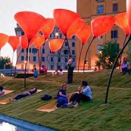

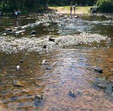

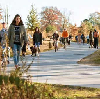

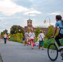
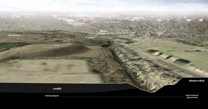
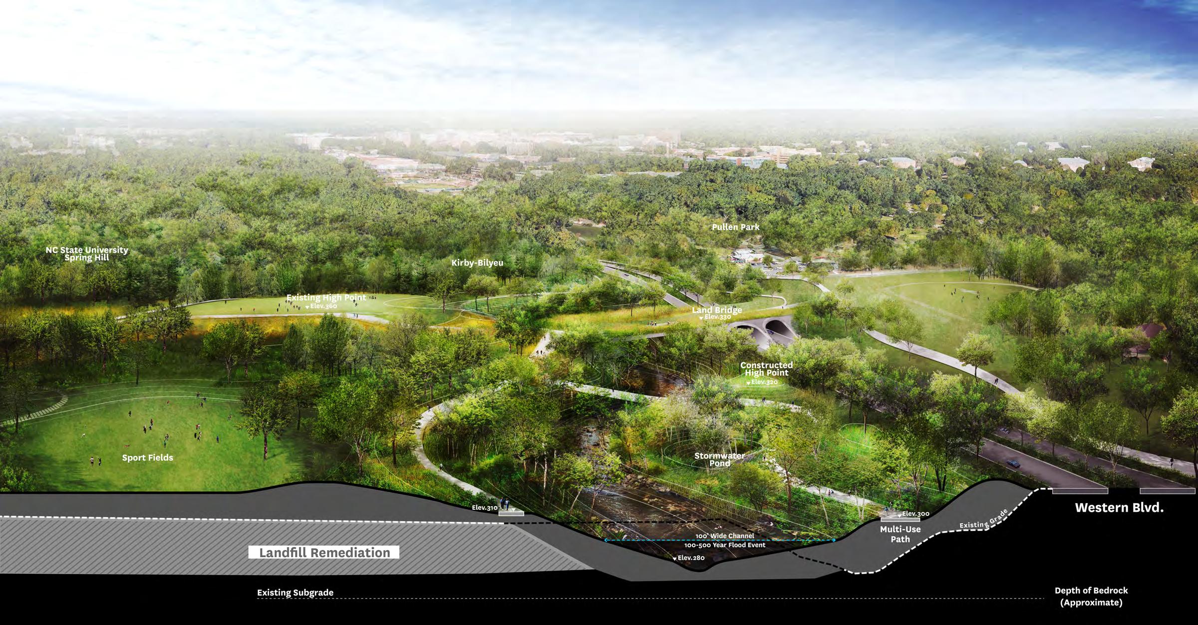
The Meadow expands upon one of the most popular places in Dix Park today the Big Field. The Meadow will build on the strengths of the Big Field by providing a restorative nature experience at its edges. Play gardens and sports fields will provide fun for a range of age groups. The center of The Meadow will retain the size, openness and mown turf of the Big Field. The planted areas around the cemetery will be expanded and demarcated to honor those buried here. The Kirby building is proposed to be rehabilitated into a field house, becoming a meeting place and the programming center for outdoor activities.
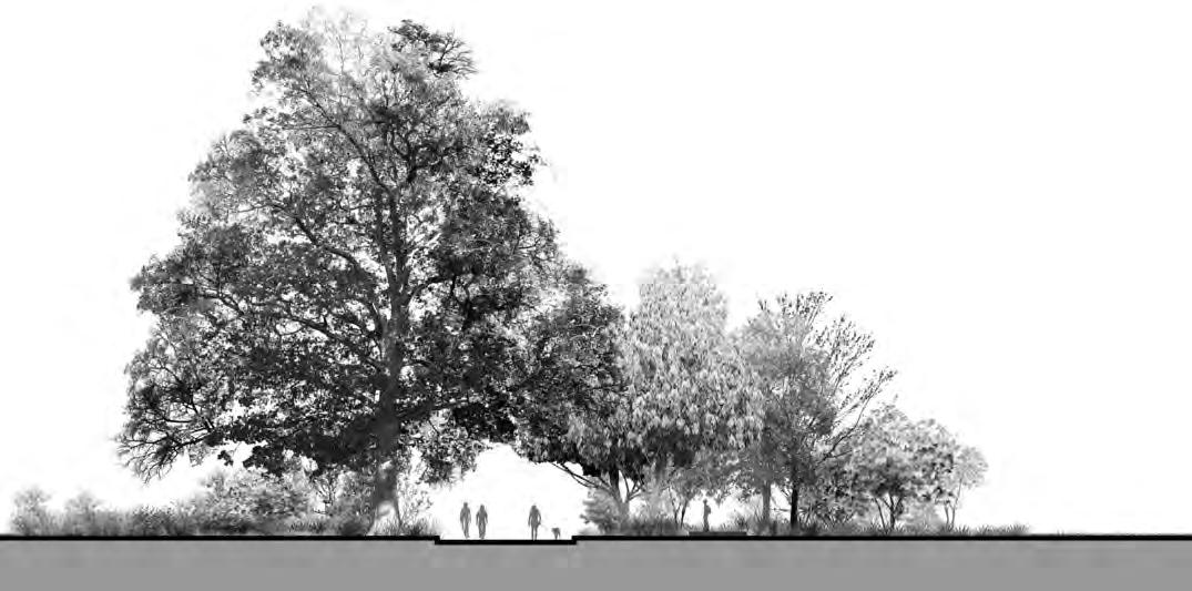

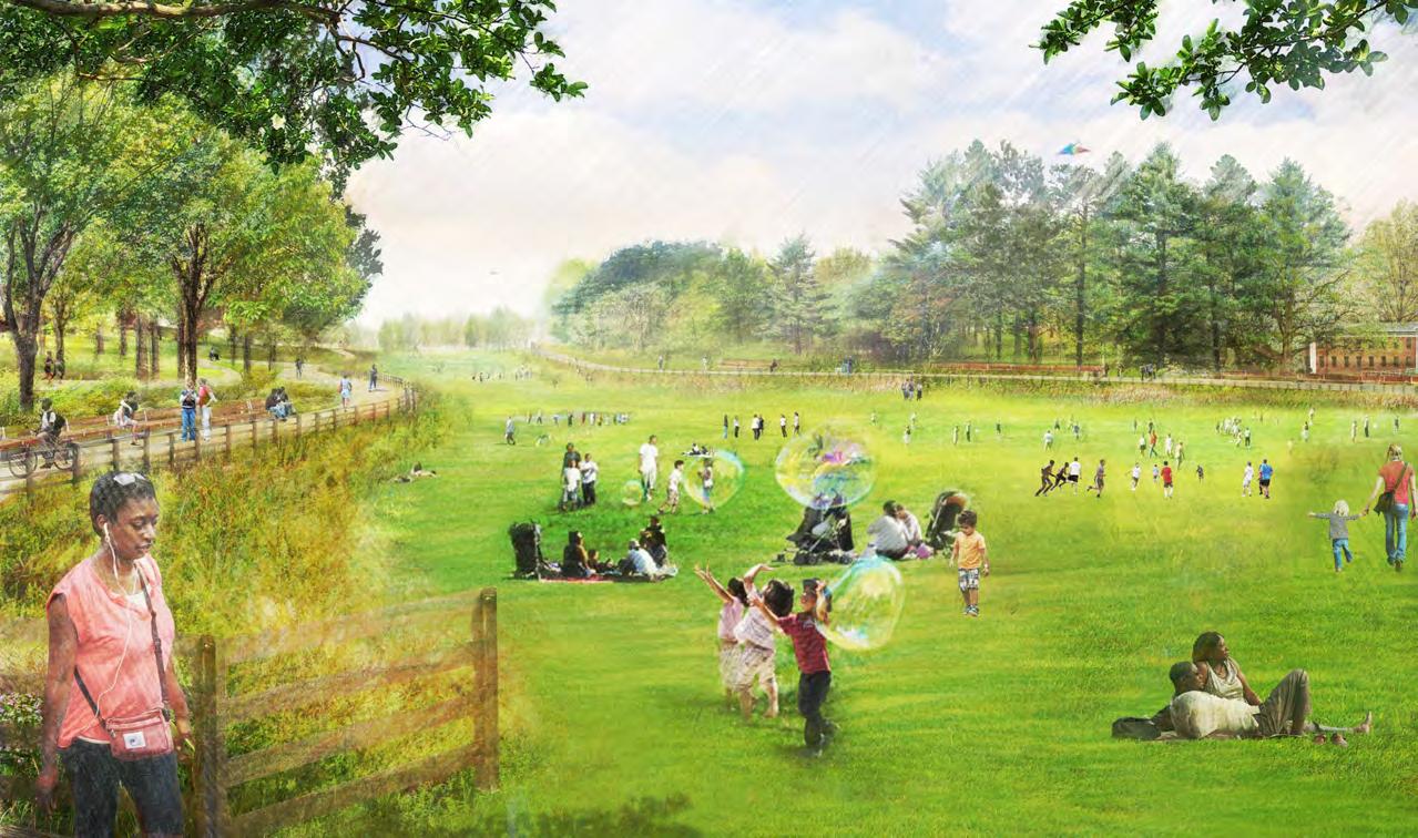

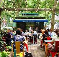
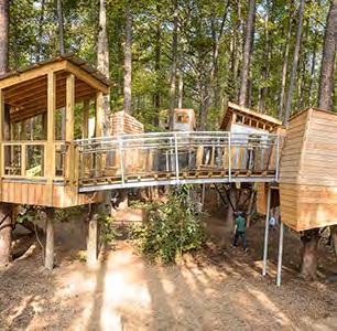

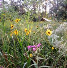
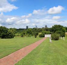
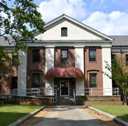


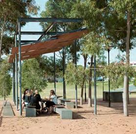

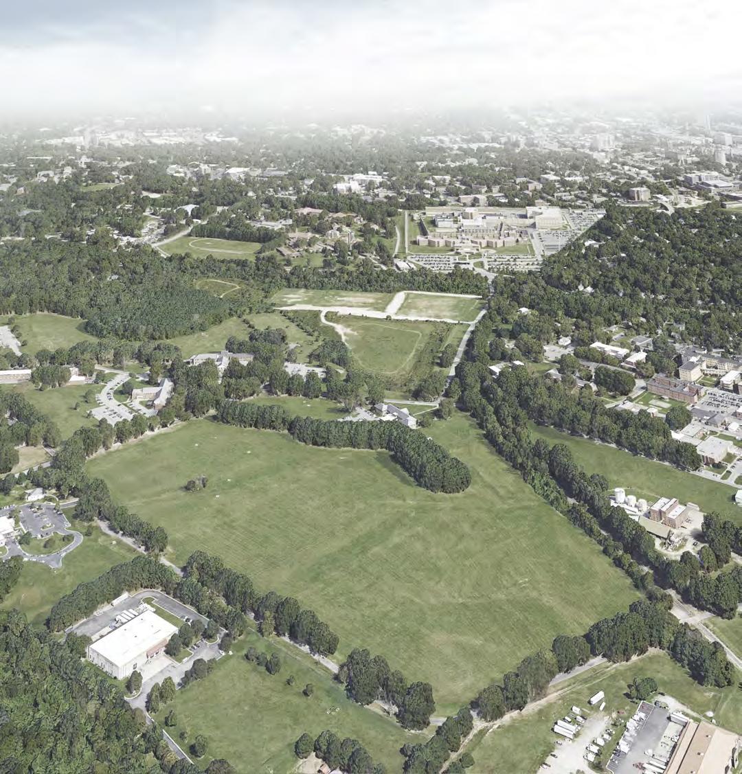

Restoring the Grove by removing the existing cottages and adding new plantings will create a place for individual and small-group pursuits. The Master Plan also calls for a hammock glade and the preservation of a much-loved winter sledding hill. All of these elements provide new ways of interacting with the existing landscape. In the most ambitious plan for The Grove, visitors would have chances to learn about the natural history and ecology of the region. This could happen in a botanical garden or a community food garden with educational components.
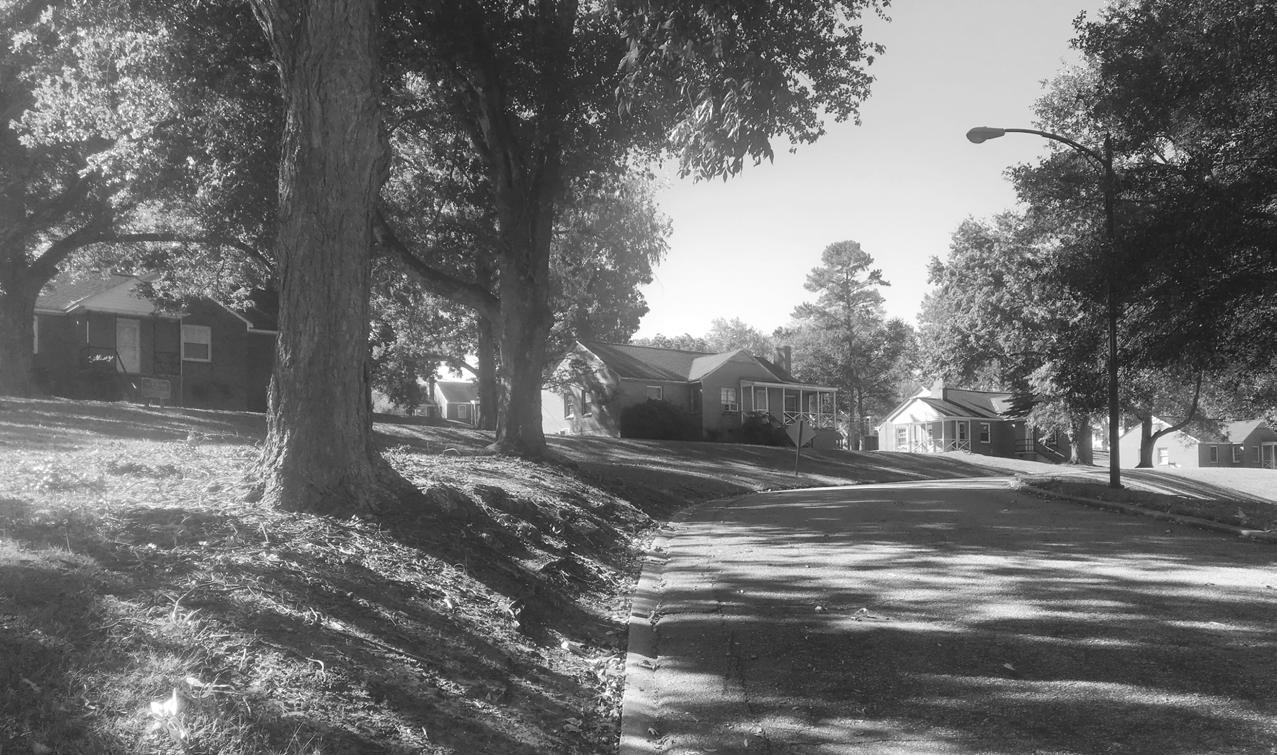
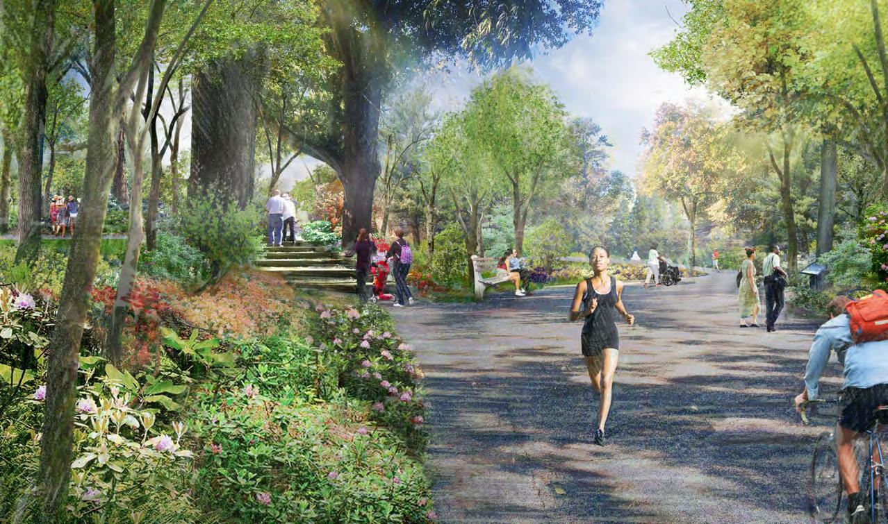

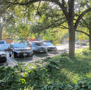
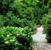


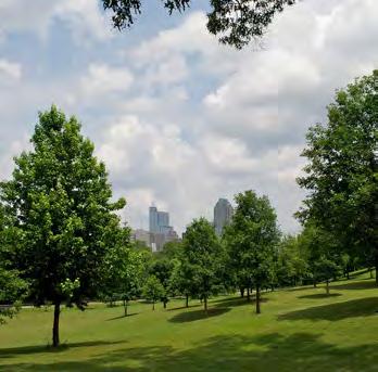
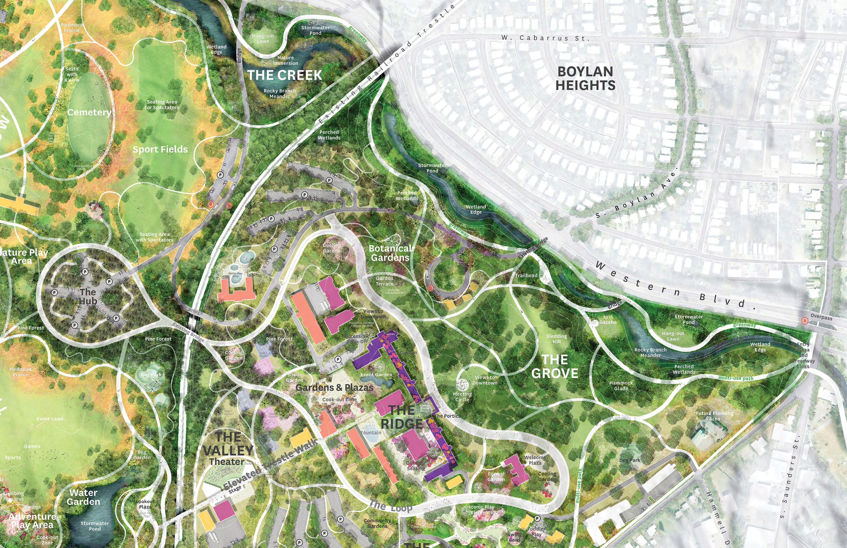

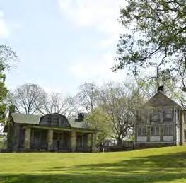
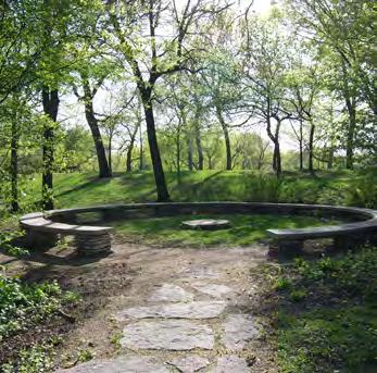


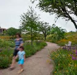

The Gateway will be the main civic entrance to and from Downtown. Its gently sloping pathways will bring visitors of all abilities, without the exertion required by hills or stairs, to the heart of the park. But it will do more than just announce arrival at the park. It will also be an active zone at the park’s edge. Water play in a civic fountain, swings, play elements, concessions, and cookout areas aim to have universal appeal (rather than targeting specific interest groups). Anyone who wants to take children to a play area without hiking far into the park, or who wants to meet a friend for a quick snack, can easily do so in the Gateway area.
Additionally, The Gateway is a uniquely accessible landscape given its proximity to Downtown and its existing topography. An area that is level with the nearby Lake Wheeler Road and its new major park entry is unique across the perimeter of Dix Park, which is otherwise bounded by hills and low areas.
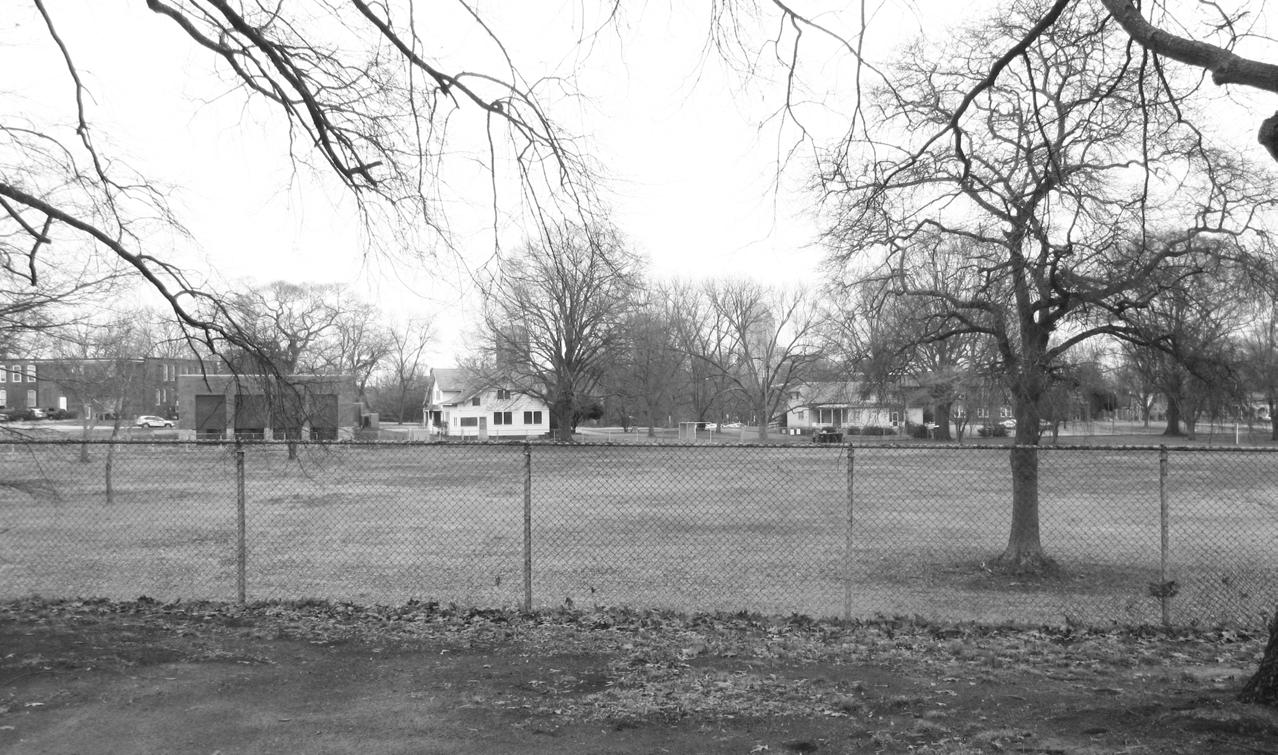
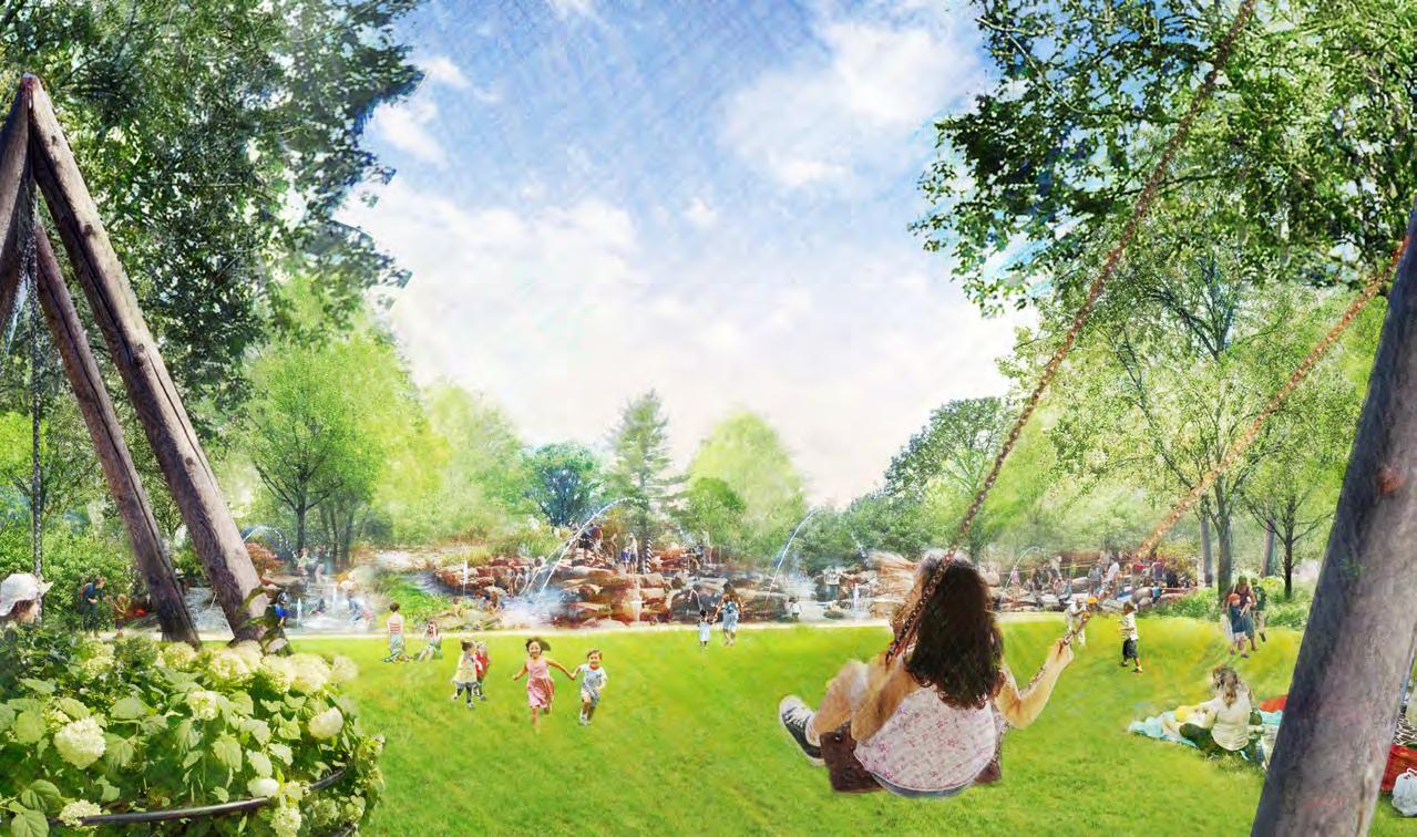
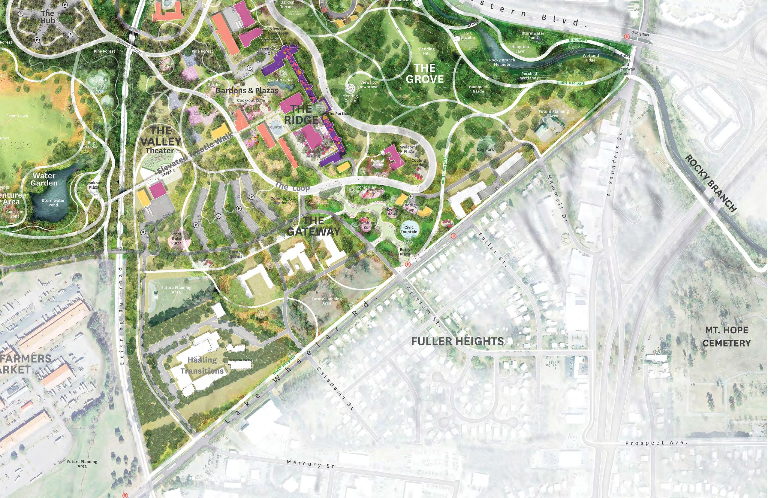

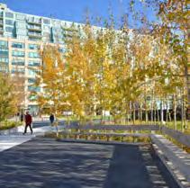
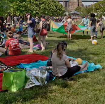
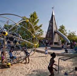

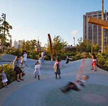

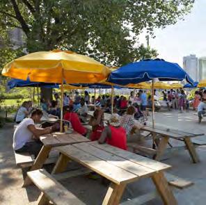
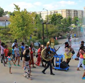
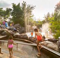
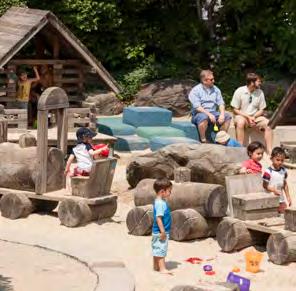
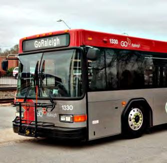
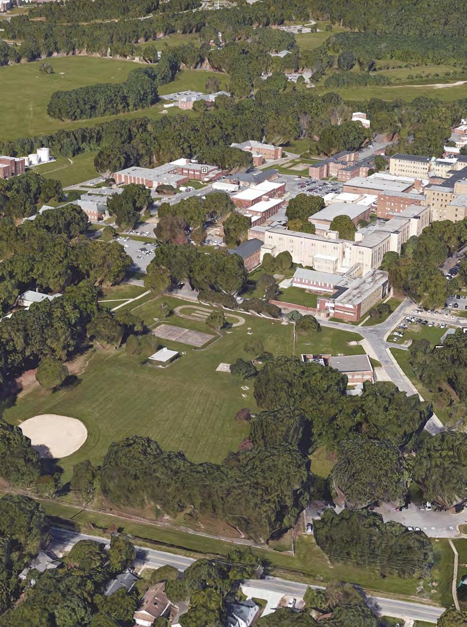

The Master Plan proposes that The Ridge regain its role as the heart of the Dix Park site. The preservation of historic buildings and selective removal of others will safeguard and reinterpret the architectural and cultural heritage of the site while allowing the creation of a unified series of indoor and outdoor spaces. Historic buildings could be renovated to support a variety of uses including performance and rehearsal spaces, a chapel, lecture and meeting halls, a visitor center, small-to mid-scale event spaces, and possibly tenants such as hotels, offices for nonprofits, and restaurants.
The outdoor spaces are proposed to include a hilltop plaza with a bosque of trees, outdoor seating and event areas, a fountain for play, sports courts, and both ground-level and rooftop gardens. Together, these facilities will create active day and evening uses. The Ridge will become a gathering place for Raleighites, drawing people interested in everything from playing sports to attending history lectures to walking through the gardens or grabbing a bite to eat.
At right is an illustration of the proposed reconstruction of the historic A.J. Davis Central Pavilion. The form and location references the original design, but the material is wholly reimagined to create a new, iconic feature at the top of the Ridge framing the view to the Downtown skyline.
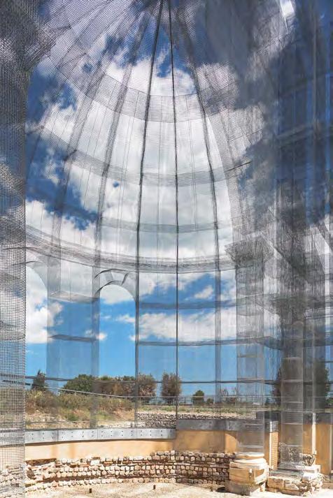
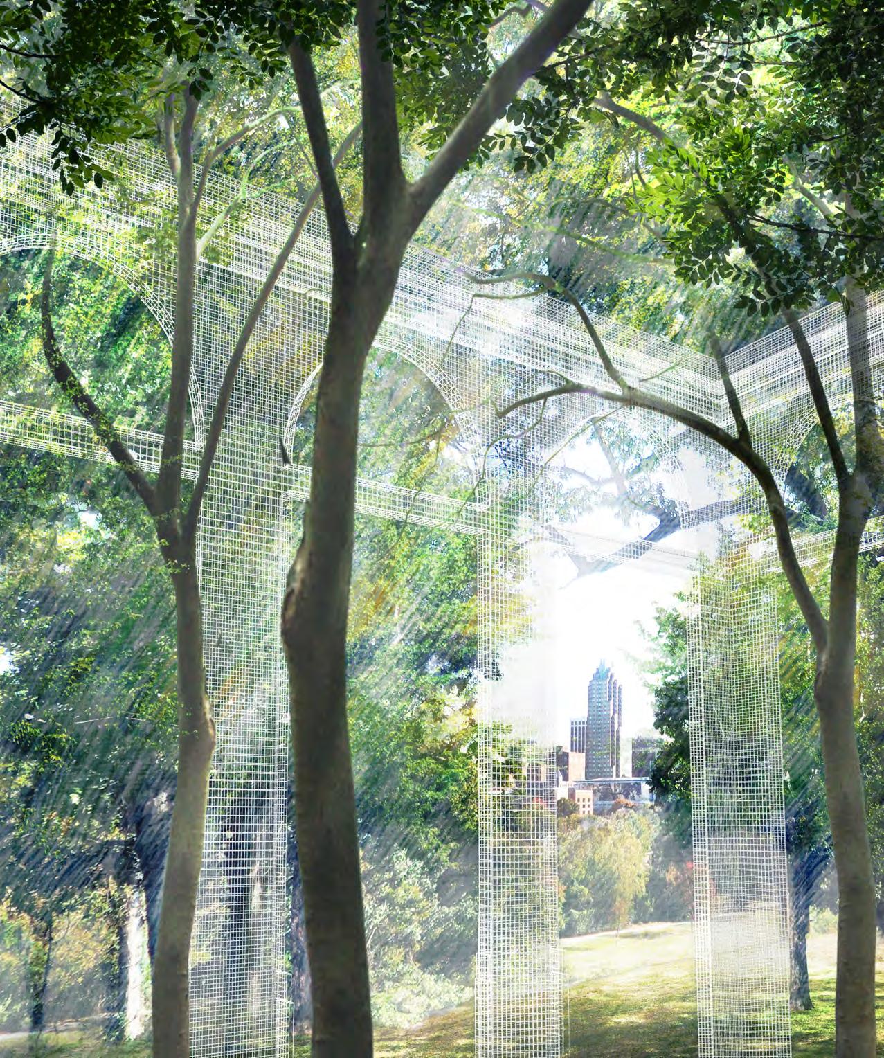

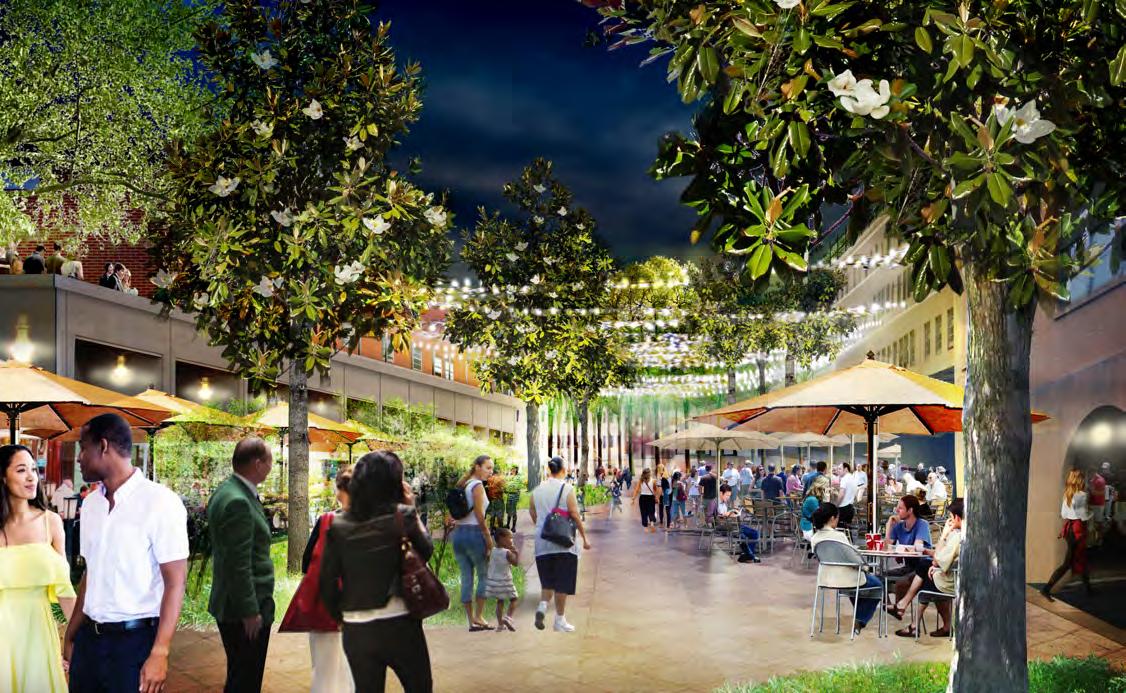

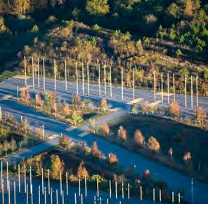

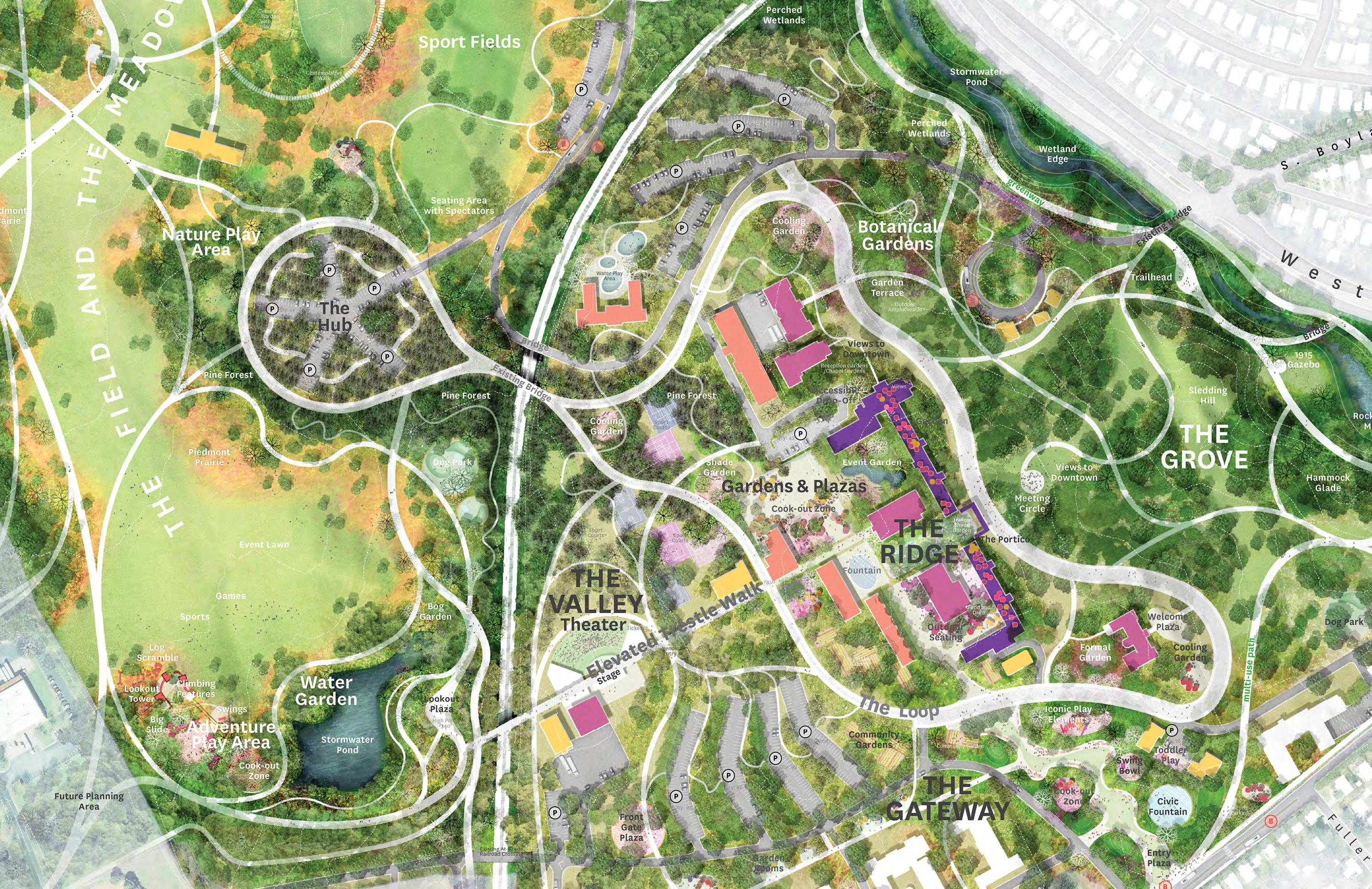
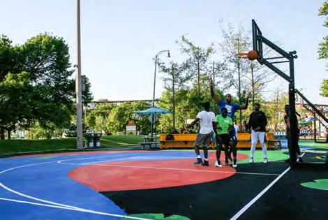
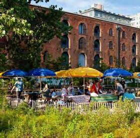
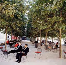


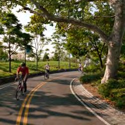
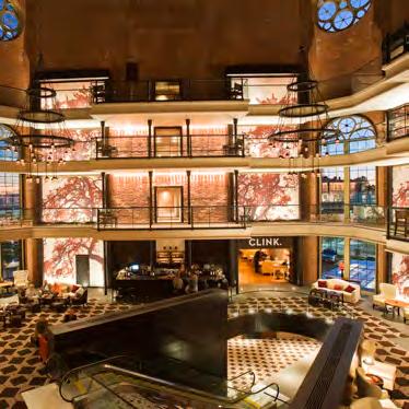
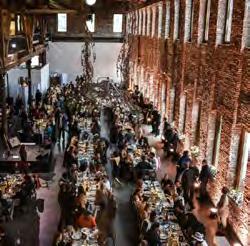
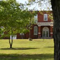

The Hub is composed of pavement bays organized around a central access point. The bays provide an event space that can be used year-round without damaging or impacting more fragile landscapes and are proposed to be surrounded by a cathedrallike space of tall pine trees. This proposed pine forest, potentially to be long leaf pine, builds from the existing loblolly stand nearby, while offering a contrast to the oak-dominant plantings found throughout the park. Covered outdoor pavilions, paths, and picnic tables are scattered in the pine forest. The star-like layout of the bays means that they help orient visitors to five different parts of the park.
In this way, the Hub will transform what is today an unremarkable area with limited views into an activity center that remains useful and beautiful even when empty. On most days, the Hub is a primary meeting point for tours and group fitness activities. It is an accessible drop-off point for visitors arriving via car, public transit, or school bus, with carefully laid-out parking nestled within a restored pine forest. It accommodates large groups and vehicular access for setting up special events like festivals and markets without harming the surrounding landscapes.
The Hub is a flexible space that can be enjoyed by a solitary bird-watcher in the early morning, by a bus full of students breaking for lunch during their capital city field trip, or by thousands of visitors during a weekend festival.

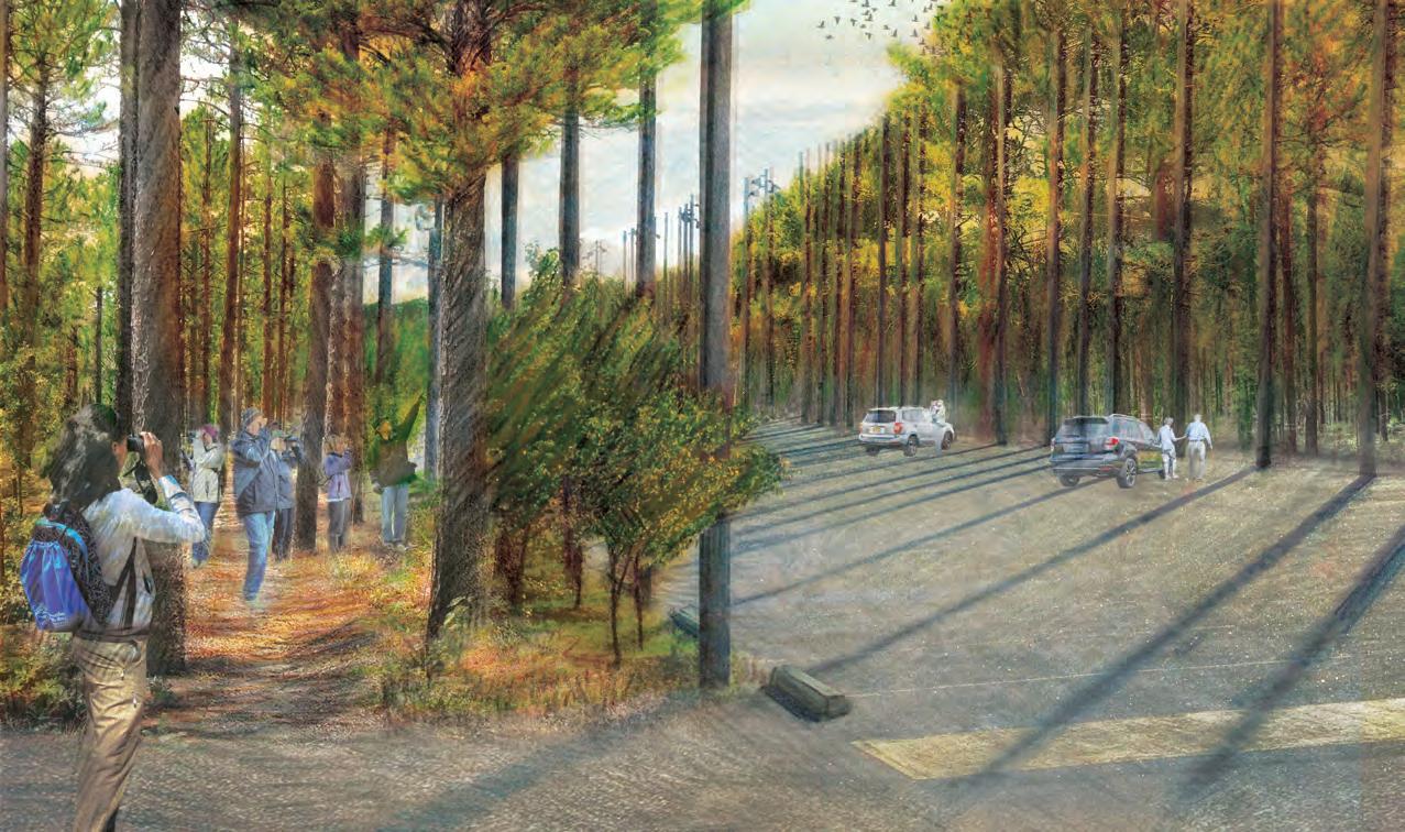

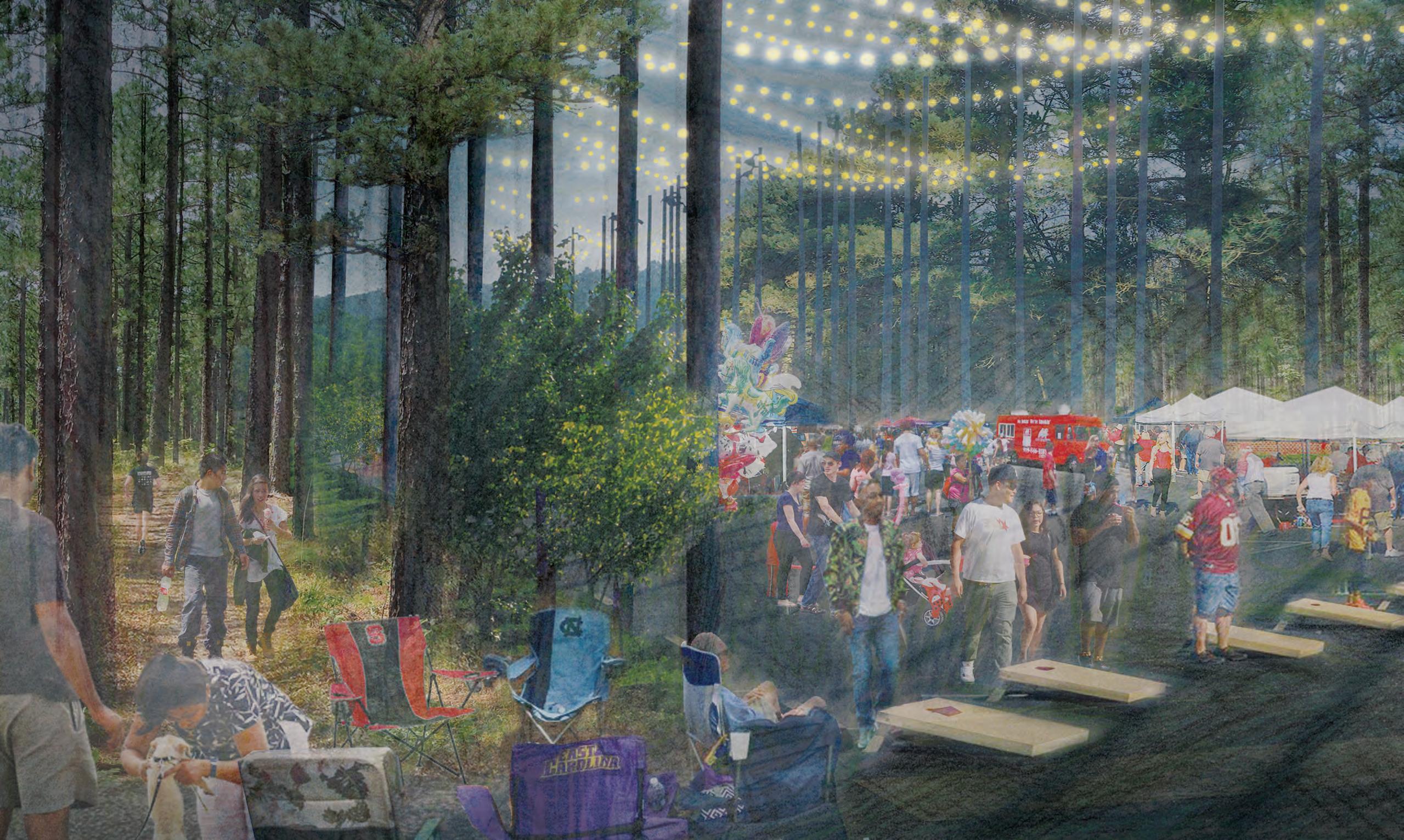


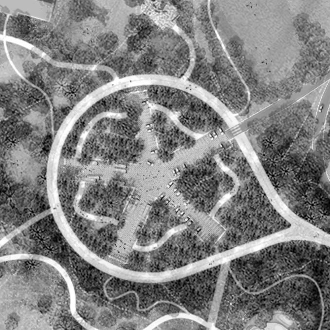


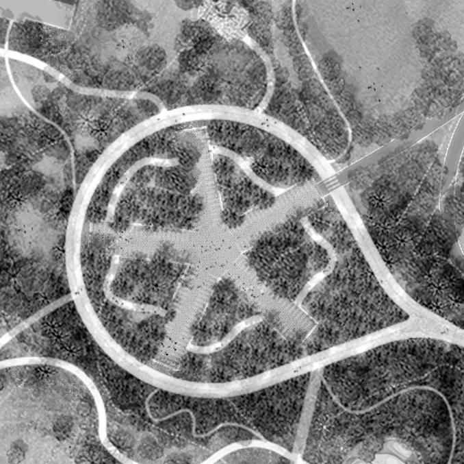

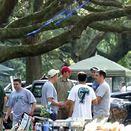

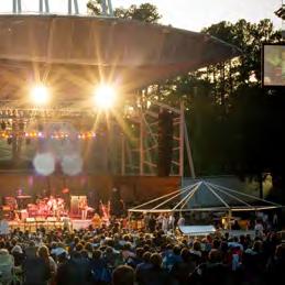
The bowl-like topography of the Valley makes it ideally suited for large group events, ranging from outdoor yoga classes to school graduation ceremonies to movie screenings to concerts and music festivals. An amphitheater would accommodate such programs and give the landscape a focus. The Master Plan retains aspects of the Valley’s industrial character by proposing to rehabilitate the existing Steam Plant to support rehearsal and storage spaces. The proposed Trestle walk will link the Water Garden at the south end of the Meadow to the Ridge offer pedestrians and bicyclists a birds-eye-view into the amphitheater below along its length.

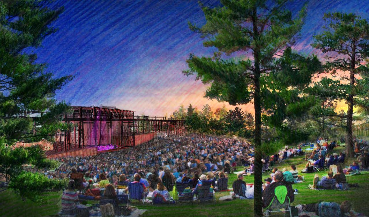


PERFORMANCE VENUE
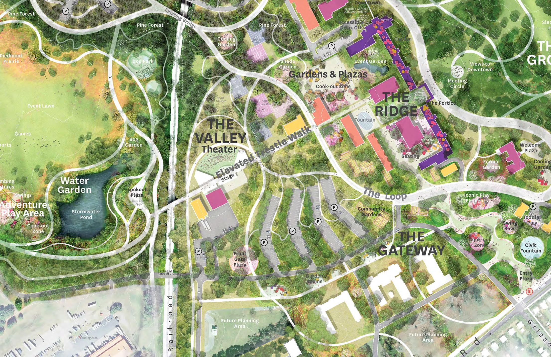


PRACTICE SPACES




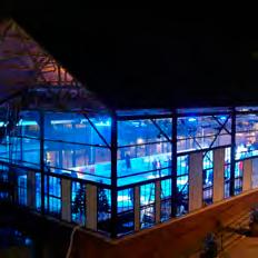
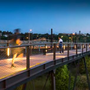
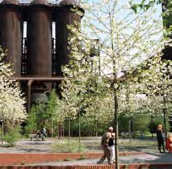
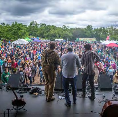


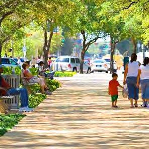

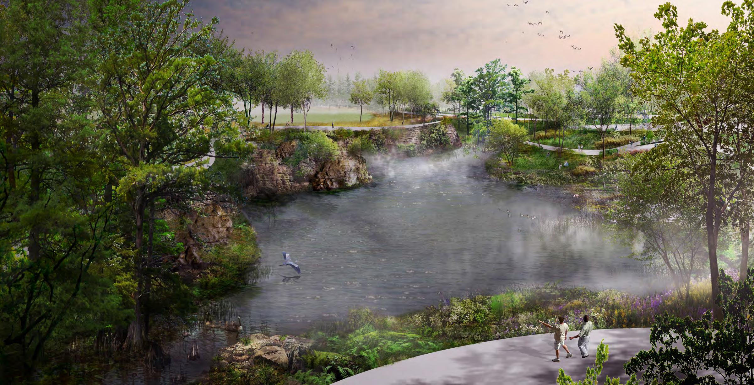
A master plan is an early step in a site’s transformation. This chapter suggests next steps and guiding strategies to ensure that the opportunities described in the Dix Park Master Plan are realized. For a park of this size and complexity, full implementation may take decades. The pace of work will align with the capacity for funding and park governance.
The physical transformations are organized into four phases. Phase 1 begins with improvements to the site’s edges, while the subsequent phases fill in toward the middle. This approach will create new entries, connections, and activity at the park’s edges early on, and allows the momentum and excitement generated by early improvements to attract resources needed to support subsequent phases. Phases 2, 3, 4 can proceed in any order. What is important is that the phases organize improvements geographically, allowing construction to proceed in one area without impacting other parts of the park. Major building improvements will occur in the later phases, after site utility systems are upgraded and once the value of the park is widely understood.
The chapter continues with strategies for park operations, maintenance, and funding, and concludes with an overview of partnerships: the essential relationships with institutions and groups that will embed Dix Park in the everyday life of Raleigh.


A city recognizes a need for new parkland and acquires a site. A group of passionate people with a strong vision and an understanding of the community lead the effort. For Dix Park, these early leaders include Dix306, Friends of Dorothea Dix Park and the Dix Visionaries.
A master plan outlines the park’s primary goals, general organization, and integration into its context. Community engagement drives the overall park vision in the early stages of planning and influences the development of the program and character of the park throughout the design process.
Ideas for organization, character, and program are tested, and the park design is refined in dialogue with the client and the public. Strategies are developed for phasing, costs, fundraising, gaining regulatory approvals, and solving technical challenges.
Contractors are selected, a schedule is set, and the park is built. The complexity of landscape construction demands continual decision making, adaptation of the design, and collaboration among contractor, client, and designer.
The park becomes an integral and loved part of the city, grows and weathers, and is sustained through ongoing care. New program elements and uses evolve but the overall vision, organization, and identity of the park persist and strengthen with time.
The projects that make up Phase 1 help realize the park’s first core principle: to open up and better connect Dix Park to its surroundings. To avoid disruption in the near term, Phase 1 projects do not include buildings currently occupied by the North Carolina Department of Health and Human Services staff.
The projects in Phase 1 include the Creek (#1), which is a restoration of a natural area, and improvements at the Gateway (#4), which include civic plazas and play and garden spaces. They were chosen for their impact on Dix Park as well as for practical reasons: park spaces at the landfill must be improved soon to coincide with active work by the state’s Department of Environmental Quality. Similarly, the City has plans to upgrade subgrade utilities within the park, and park improvements in those areas should proceed at the same time. The improvements to the cemetery should be performed early on, to ensure that the significance of those buried there is respected and recognized promptly. Lastly, the five buildings proposed to be rehabilitated during Phase 1 (#3) are all historically significant and are part of an early transfer of buildings from the state to the city, planned for early 2019.

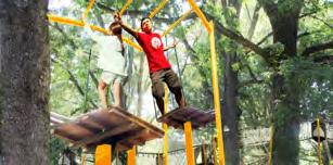
Restore The Creek
Restore the Cemetery with new garden areas and markers
Rehabilitate historically significant, early transfer buildings (Chapel, 3 Stone Houses, Buffaloe, Benner) and surrounding landscape
Create a main entry with plaza and play areas at Lake Wheeler Road and Grissom Street
Create a multi-use path along Lake Wheeler Rd.
Interim Parking
PLANNING FOR FUTURE GROWTH
A. Work with neighbors to plan for good access to the park across property lines
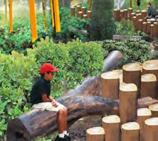


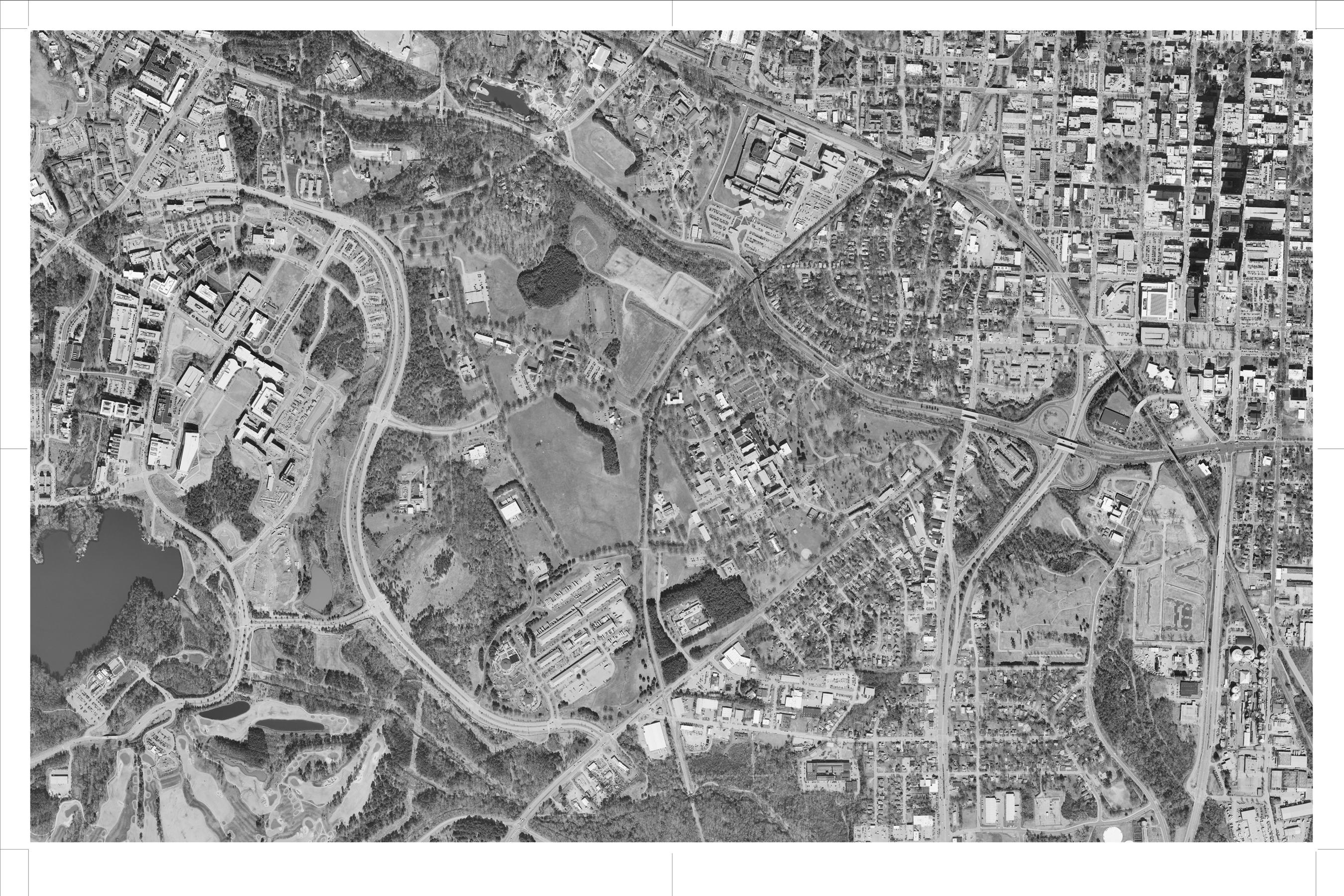
B. Develop and adopt a small area plan for Fuller Heights with community input
C. Remediate the landfill with NCDEQ
D. Coordinate upgrades to municipal infrastructure within Dix Park with the city utilities group
E. Redesign Lake Wheeler Road for new pedestrian, bike, and transit uses
F. Redesign park entries and transit access along Western Blvd., with NCDOT and Wake County
G. Study land bridge feasibility
Existing Building to Demolish
Existing Building to Rehabilitate Phase 1 Construction Area
Phase 2 projects build on existing site conditions to expand the landscapes of the Grove and the Meadow (#1-2). This creates more boundless and varied pastoral experiences at the east and west sides of the park. Following the initial construction at the Gateway area in Phase 1, this phase includes more plazas and play and garden spaces. Proposed building demolition requires state tenants to vacate selected buildings. Phase 2 includes the majority of parking spaces proposed for the park. As a part of the design of phases 1 through 4, size and nature of parking facilities will be adjusted in keeping with technological and other changes.

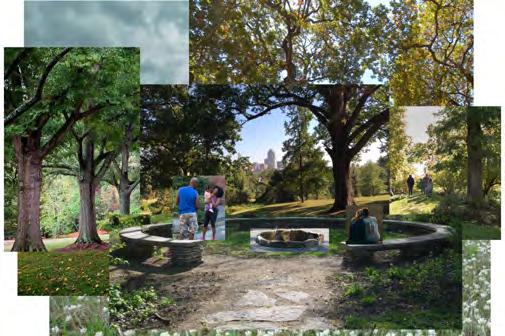
Open up The Grove and The Meadow with select building demolition
Restore The Meadow and The Grove
Prepare select buildings for adaptive reuse by partners

A. Analyze and upgrade site utilities prior to further building rehabilitation at The Valley and The Ridge
B. Develop a maintenance plan supported by the efforts of a stewardship crew for the park’s restored landscapes
Existing Building to Demolish
Existing Building to Rehabilitate
Phase 2 Construction Area Completed Park
Existing Road to Remain
Phase 3 projects make up the Cultural Link, the Water Garden, and the elevated trestle walk that connects them. The proposed Valley Theater included in Phase 3 is a potential alternative to Downtown’s Red Hat Amphitheater, which is not anticipated to be a permanent facility.

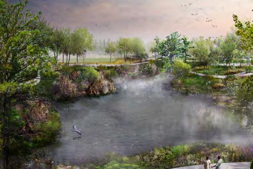

The Valley Theater becomes a major regional draw and a source of park revenue
The Water Garden adds new landscape elements and views
The elevated trestle walk unites the site across the railroad and creates the park’s cultural link
Study and recommend future uses for Gateway areas
A. Potential early building rehabilitation at the Ridge as development of utility infrastructure and park partnerships permits
Existing Building to Demolish
Existing Building to Rehabilitate
Phase 3 Construction Area Completed Park
Existing Road to Remain
The most complex renovations and construction of public spaces are reserved for a later phase, once all buildings are vacated, new site utilities have been extended to the park’s center, and the value of being located within Dix Park is clear to potential partners.
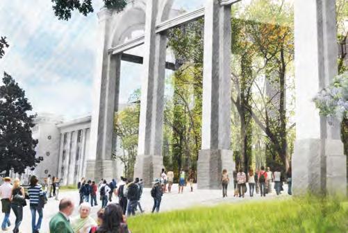

Open up the hospital complex with selective building demolition and rehabilitation and the introduction of a new series of civic gardens and plazas
Invite proposals from partners to lease buildings on the Ridge and fill them with uses that align with the Park’s core principles. Leases will ensure that tenants contribute positively to the life of the park and provide such public amenities as exhibit and event spaces, bathrooms, and food and drink concessions
Existing Building to Demolish
Existing Building to Rehabilitate Phase 4 Construction Area
Existing
In select areas, stewardship programs and improvements to native plant diversity can start now. Areas A, B, and C at right represent three distinct landscape types that are especially wellsuited for early stewardship work: they are not slated to be extensively regraded or otherwise disturbed during future construction, and they require long-lead work such as the control of invasive species and establishment of native understory and prairies.
The native meadow establishment can serve as a testing ground to determine what species and planting techniques work best at the Meadow, before the larger landscape work begins. The railroad corridor is a good learning opportunity in identifying and removing invasive and undesirable species. Here, invasive species can be replaced with native plants that will not spread to other parts of the park. Finally, the remediation of the grove invests in an area that is already well used as a recreation space. The effort can control invasive species and improve eroding slopes that present maintenance challenges.
The stories of the land can be preserved and shared through tours, podcasts linked to location markers, and other events. One specific idea is highlighted at right: a walk between the Chapel and the Cemetery connecting two contemplative spaces tied intimately to the lives of hospital patients and staff. The audio works of artist Jeannene Przyblyski for the Presidio in San Francisco are a notable example of how a landscape can be interpreted in this way.
There are several buildings that are currently unoccupied by NC DHHS and are proposed to be demolished in the future as a part of this Master Plan. These buildings, such as Spruill and McBryde South C Erwin, have the potential to host temporary installations and exhibits that draw inspiration from their settings. These buildings also may support creative documentation work by students, researchers, and artists. Agreements with the state for access will be required before proceeding.

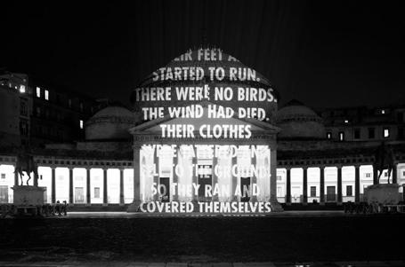

The chart above outlines the studies, agreements, and programs needed to deliver the park’s four phases. The robust engagement process, initiated in the Master Plan, is projected to continue informing planning and design work through to implementation. Specific suggestions for the public engagement process are shown in green; these will be developed further as planning work proceeds.
The order and pace of implementation will be managed to align with several practical factors, including the availability of funding, permitting, and access to the site spaces. While the chart above suggests a linear sequence of phases, from 1 to 4, permitting or funding opportunities may allow the work of phases to overlap or switch. Reconfiguration and adjustment of the workflow
from Master Plan to full implementation will be crucial to ensuring sustainable strategies for park construction and management. All future studies and decisions will be part of a public process that ultimately will require City Council approval.
Maintaining Dix Park’s proposed natural areas will require significant effort and a clear vision. The park can be divided into distinct maintenance zones to streamline maintenance efforts, share expertise efficiently, and locate equipment and support facilities where they are needed.
For maintenance, Dix Park is best divided along the railroad tracks into eastern and western zones, each with its own crew. The western crew will focus on the passive and temporary-use spaces, while the east crew will focus on the civic spaces and the majority of actively programmed buildings.
The natural resources crew will oversee native planting and ecological strategies across the entire park, uniting the efforts of the other crews. Their focus will include The Creek, which is proposed to be one of the most ecologically diverse areas in the park.
For more detailed projections of the future operations and maintenance of Dix Park, see the work of consultant team member ETM Associates in the Appendix.

Dix Park is proposed to utilize funds from a mix of four sources: public funding, contributed income, earned income, and value capture. The mix of sources helps to ensure that the park adjusts to unforeseen political and economic challenges, shows flexibility in how it meets community needs, and sustains great programs and well-maintained spaces over the long term.
The City must be financially responsible in the creation and management of Dix Park. The Master Plan makes recommendations so that the City can continue to build and improve its existing parks and greenways while also building an iconic park for the entire community to enjoy.
The Master Plan provides a toolbox of funding options, but it is up to the City to figure out which tools are most appropriate to use as the park develops over time. Park partnerships, like that with the Dix Park Conservancy, will be critical to successful funding of the park. The Master Plan does not stipulate how much money is required from each source, given uncertainty about implementation timeframes, design, construction, and future programs. Rather, the Master Plan preserves the opportunity to accept funds from each of these sources.
Crucially, Dix Park is one space among many that the City of Raleigh supports with public funding. Apart from public funding, the three funding sources are contributed income, earned
income, and value capture. Contributed income includes revenue given to the park by a third party in the form of grants, philanthropy, memberships, and sponsorships. Earned income is revenue generated by the park’s operations such as concession sales, rentals, and parking fees. Value capture uses the park’s assets for income through ground leases and other agreements with third parties. Such revenue-generating uses, which also help to keep the park active year-round, ensure the park’s long-term economic sustainability. They will allow Dix Park to thrive without compromising the City’s ability to support other essential services.
The analysis on the following pages was prepared in collaboration with consultant team member HR&A Advisors, Inc. and analyzes recent park projects and the mix of sources relied upon to support their funding needs. Lessons learned via the analysis are then applied back to specific recommendations for Dix Park.
SOURCES
• GENERAL FUND BONDS
• TAXES
SOURCES
DONATIONS AND GRANTS
• MEMBERSHIP PROGRAMS
• CORPORATE SPONSORSHIP
SOURCES
• CONCESSION SALES
• RENTALS AND USAGE FEES
PARKING FEES
SOURCES
• GROUND LEASE REVENUE
• VALUE INCREMENT ON NEW AND EXISTING DEVELOPMENT
Source: HR&A Advisors, Inc.
Capital improvements proceed as funding becomes available.
Capital improvements include one-time expenses such as design and construction. Public funding and contributed income (philanthropy) sources may be used to support capital improvements. Value capture tools are also a possibility; understanding the potential for value capture requires a more in-depth study of tax mechanisms and the Raleigh context.
Special Assessment Districts and synthetic TIFs (tax increment financing) are two tools that use the added value of real estate adjacent to the park to support the park. Special assessment districts would enable the City to assess an additional property tax on areas to be defined, to fund projects and services related to Dix Park. Another financing tool the City could pursue to fund Dix’s capital needs is the creation of a synthetic TIF district, a tax mechanism by which the City borrows money to make investments and improvements in Dix Park, and then uses the anticipated associated increase in surrounding property values to pay back what has been borrowed.
The opportunity to use either Special Assessment Districts or Synthetic TIFs should remain open to future city administrators. However, analysis by HR&A Advisors and City Staff suggests that Special Assessment Districts and Synthetic TIFs have notable limitations in their potential use. Much of the area around Dix Park today is either tax-exempt property, low-density residential, or already included in a Special Assessment District (the Downtown Raleigh and Hillsborough Street Districts are nearby), which limits the potential to generate additional tax revenue to support the park with these tools.

Contributions from the four main funding sources are balanced every year to meet the costs of operations, maintenance, and programs.
PUBLIC FUNDING: Significant public funds have already been spent to purchase the land for the park. Additional public funding carries political risks and may affect the city’s ability to meet important obligations. Therefore, long-term operations and maintenance will likely require some funding from other sources.
CONTRIBUTED INCOME: Attracting donors and sponsors will help raise Dix Park’s visibility. Some donors and sponsors may be limited to supporting capital improvements, so it is essential to clearly state the case for underwriting operations, maintenance, and programming.
EARNED INCOME: As the number of events at the park increases, revenue from concessions and rental fees (such as event hall use for weddings and reunions) can play a larger role as a funding source. There is also potential to earn some income from parking fees, especially during special events (as is done at St. Louis’s Forest Park).
VALUE CAPTURE: The potential for rent premiums at and around the Dix Park site is strong, given Raleigh’s anticipated growth in coming decades. Adaptive reuse of existing buildings preserves Dix Park’s character and history while also supporting its financial sustainability of the park. Value capture is a major funding source for parks with pre-existing buildings, such as at the Presidio in San Francisco and Brooklyn Bridge Park in New York.
PUBLIC FUNDING
General Fund
CONTRIBUTED INCOME
Grants
Donations
Membership Fees
EARNED INCOME
Events
User/Rental Fees
PUBLIC FUNDING
General Fund
On-Site Development PILOT
CONTRIBUTED INCOME
Grants
Donations
Membership Fees
Naming Rights
EARNED INCOME
Events
User/Rental Fees
Concession Sales
VALUE CAPTURE
Special Assessment District
On-Site Real Estate
Development Parking Fees
On-Site Development PILOT
CONTRIBUTED INCOME Grants
SEATTLE, WA
Friends is the City’s non-profit partner helping build and program this future park, and the City is committed to providing ongoing funding support.
ADVANTAGES
• Promotes transparency
• Provides control to public partners
NEW YORK, NY
O&M FUNDING, 2016
Contributions and special fundraising events generate the bulk of the Conservancy’s operations funding.
TN
O&M FUNDING, 2016
Bike and boat rentals, food and beverage outlets, and multiple event venues create significant revenue streams for the park.
SAN FRANCISCO, CA
O&M FUNDING, 2016*
Value capture derives from the reuse of historic structures as boutique hotels and mixed-use districts.
*Refers to 1,200 acres, operated by Presidio Trust, where buildings and programming are located.
RISKS
• Places burden of park support on taxpayers
• Can be difficult to sustain in the long term
• Competes with other municipal needs
• Introduces uncertainty if funding is at risk of political change
ADVANTAGES
• Preserves municipal resources
• Creates new partnerships
• Increases management capacity and maintenance quality
• Builds public sense of ownership through membership programs
RISKS
• Can be challenging to fundraise for O&M if donors have been engaged for capital needs
• Carries uncertainty in securing guarantees from funders
ADVANTAGES
• Generates income through uses that are scalable and adaptable, and can be implemented in phases
• Activates the park
• Brings in new/recurring visitors
RISKS
• Requires clear definition of roles and responsibilities between public and private partners in management structures
ADVANTAGES
• Preserves municipal resources
• Ensures a built-in population to activate park edges
• Creates ongoing and evening activation
• Establishes long-term, reliable sources of funds
RISKS
• Necessitates identification of private partners who can ensure the park vision is upheld
• Requires planning that preserves and prioritizes the park uses and clarifies roles and responsibilities
Park partnerships are mutually beneficial relationships between a park and other organizations, businesses, and institutions. The partner receives access to park spaces while the park benefits from increased activity, help providing basic services, and/or financial support. Potential partners—whether preexisting or formed just for Dix Park—will be evaluated based on the park’s Core Principles and Key Actions (pages 16-23). Park partners include organizations that contribute to the well-being of the Raleigh community. Park partners also include neighbors and organizations such as NC State University and the Dix Park Conservancy that are essential to park operations. PARTNER
TERM: One-Offs and Events MID TERM: Advocacy and Test Fits
In the short term, Dix Park needs partners that will help support events, such as tours, music festivals, art exhibits, and pop-up gardens like the summer 2018 Sunflower event. These events offer the general public an appreciation of Dix Park’s potential before and during its transformation. They are also opportunities to experiment with innovative programming. Another activity that can begin is the organizing of community and volunteer groups to support park maintenance and plant diversity (see for example “Stewardship Crews,” page 176).
• Organizations that aid in the selection and/ or propagation of native plant species, habitat restoration, specialized horticultural support, education, and training of volunteer crews
• Organizers of temporary art installations that can activate existing buildings and outdoor spaces
• Pop-up retail and food markets that create a sense of welcome
Opportunities for partnerships will expand during the design and construction phases. A goal of the City should be to create partnerships that benefit both the community and the park. Special attention should be made to ensure equitable and diverse partnerships, including working with Minority and Women-owned Business Enterprises (MWBE). Restored landscapes offer the opportunity for partners to assist with educational tours and nature walks. As more building space becomes available for park use, partner organizations may propose rehabilitation and reuse of specific buildings. In the mid-term, the park may test-fit building reuse scenarios with partners prior to making long-term commitments.
• Arts and cultural organizations that create dynamic outdoor activities and support park programs for all
• Educational organizations that utilize park spaces for tours, events, and coursework
• Food and drink concessions
TERM: Coordinated Operations
Establishing a plan for park governance is an immediate need; with that plan in place, more permanent partnerships can be developed. These partnerships will build on and learn from the earlier short- and mid-term partnership processes. Partners must be committed to the three Core Principles of Dix Park.
• Non-profits and other organizations that contribute positively to the Raleigh community
• Cultural institutions that move into rehabilitated park buildings, sponsor teaching/coaching/ counseling, and aid in program logistics
• An operator for the Valley Theater
• Hospitality operators that activate rehabilitated park buildings with new uses
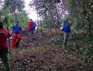
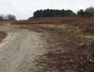

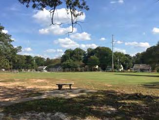
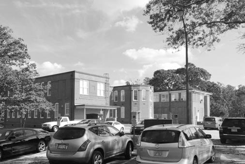
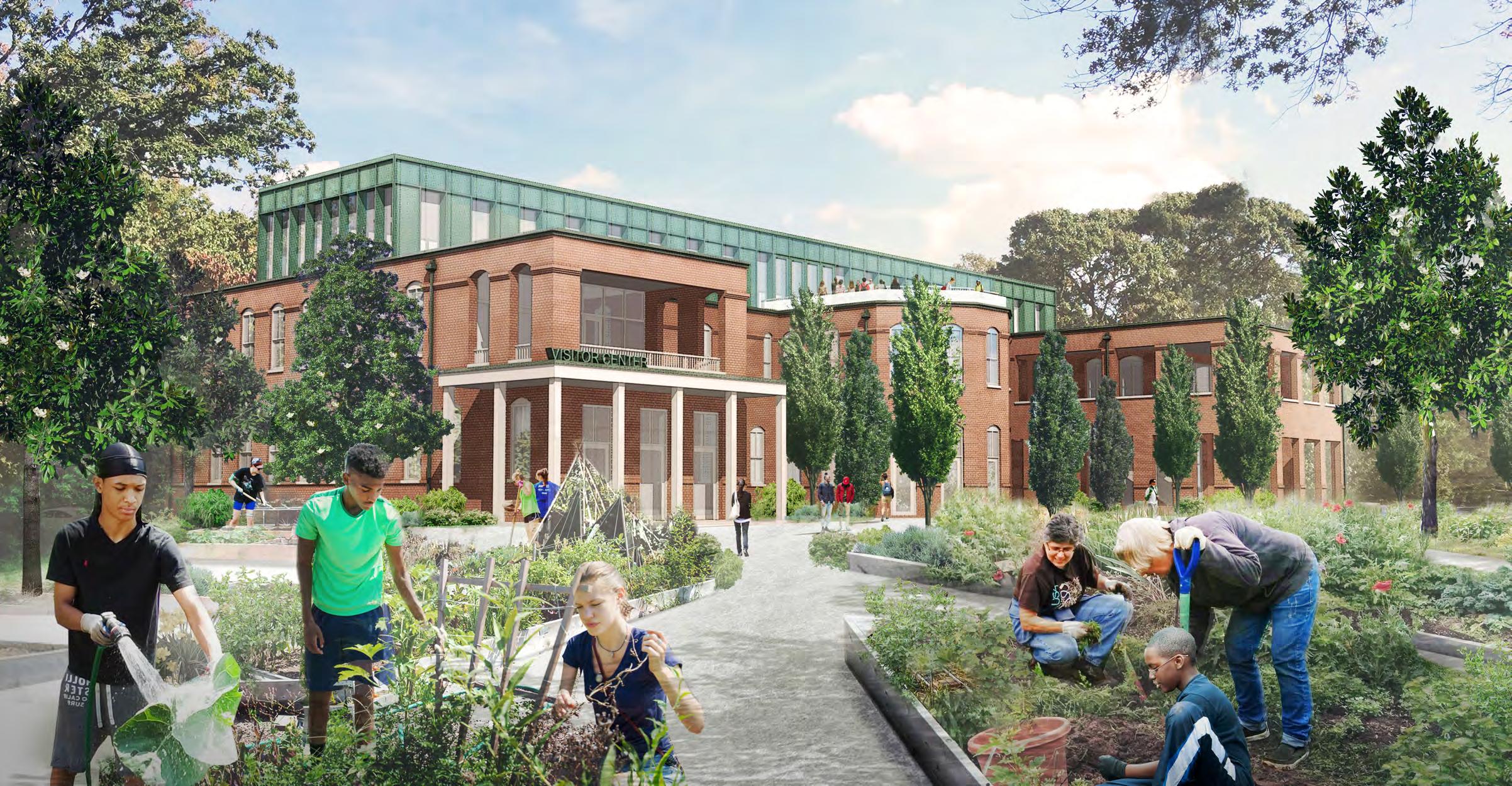

The Master Plan is just the beginning of what will be an exciting, inclusive, and transformative process to realize the potential of Dorothea Dix Park and create a park for everyone, built by everyone.
Thank you to all who have contributed so far. This Master Plan and the efforts of the MVVA team have been shaped and guided by the Dix Park Master Plan Executive Committee, the Dix Park Master Plan Advisory Committee, and the Dix Park team from the City of Raleigh Parks, Recreation and Cultural Resources Department. The leadership and support of the Dorothea Dix Park Conservancy was essential. Contributions by the Master Plan Workgroups, the Conservancy’s Legacy Committee, and the thousands of participants in the public engagement process deepened and refined the understanding of the site and the great opportunities for public spaces in Raleigh.
Insights into site history came as a result of research by Dr. Robert Allen and his team at
the University of North Carolina at Chapel Hill and Ernest Dollar, Director of the City of Raleigh Museum and the Pope House Museum.
Valuable contributions to understanding the range and diversity of Piedmont ecosystems and their applicability to Dix Park came from Phil Bradley, the Assistant Section Chief and Senior Piedmont Geologist for the North Carolina Geological Survey; Cheryl Marks and David Kwiatkowski of the Division of Waste Management of North Carolina Department of Environmental Quality; Annabel Renwick, Curator and Horticulturist at the Sarah P. Duke Gardens at Duke University; and naturalist and advocate Tom Earnhardt, whose knowledge of North Carolina ecosystems is rivaled only by his passion.