1 minute read
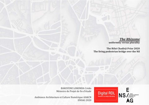
LOCATION PLAN


Advertisement


The project is located between two shores (downtown Cairo to the east) and the Zamalek district to the west. On the one hand, the boiling part of the city with its incessant traffic and all the pressure of the contemporary city, and on the other the calm on the island with a green and very touristy area. In the north and in the south there are two road bridges which are respectively the October 6 bridge and the Qasr al-Nile bridge.
Legend


west bank_Zamalek district

Mordern Cairo_downtown
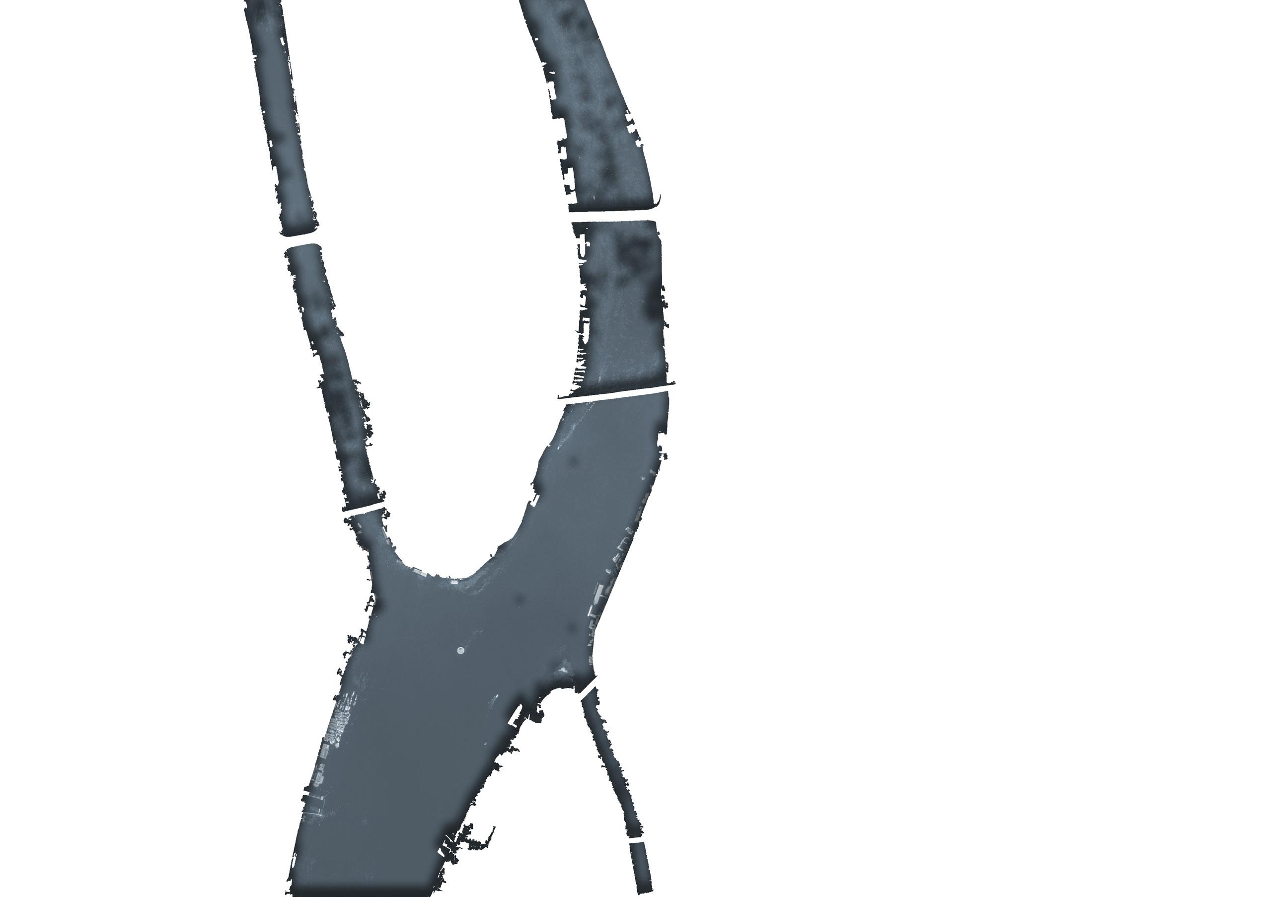
To anchor the project in its urban context, and given that we are talking about a pedestrian bridge, I was interested in pedestrian flows on the site. Pedestrian traffic identified in green, are all the lanes in which large flows of pedestrians pass. Next to these pedestrian routes there are also mobility hubs which are: metro stations, Tahir square, the museum entrance, the large car park which is located at the intersections of roadways.
Then I superimposed on this map the mechanical circulations (or expressways) identified in red and which represent constraints and also assets to be taken into account in the project.

Legend