Making a Place:
Town of Andover, CT
 Brian Garzón-Romero
LAND 4440: Community Planning Dr. Sohyun Park Fall 2022
Brian Garzón-Romero
LAND 4440: Community Planning Dr. Sohyun Park Fall 2022


Contents Site Context 4 Inventory & Analysis 6 8 Land Use/Zoning 10 Case Study 12 Design/Intervention Proposal 14 Vision Statement


Vision Statement
The town of Andover has amenities scattered around the town and lacks a definite downtown area. For the town to grow and attract new residents, a downtown is needed. Ideally, this downtown area should serve multiple purposes and link the local amenities within walking distance.
Objectives:
• Should be noticeable to those driving on Route 6
• 5 minute walk towards each amenities
• Create spaces where residents can be

O---O---O---O---O---O
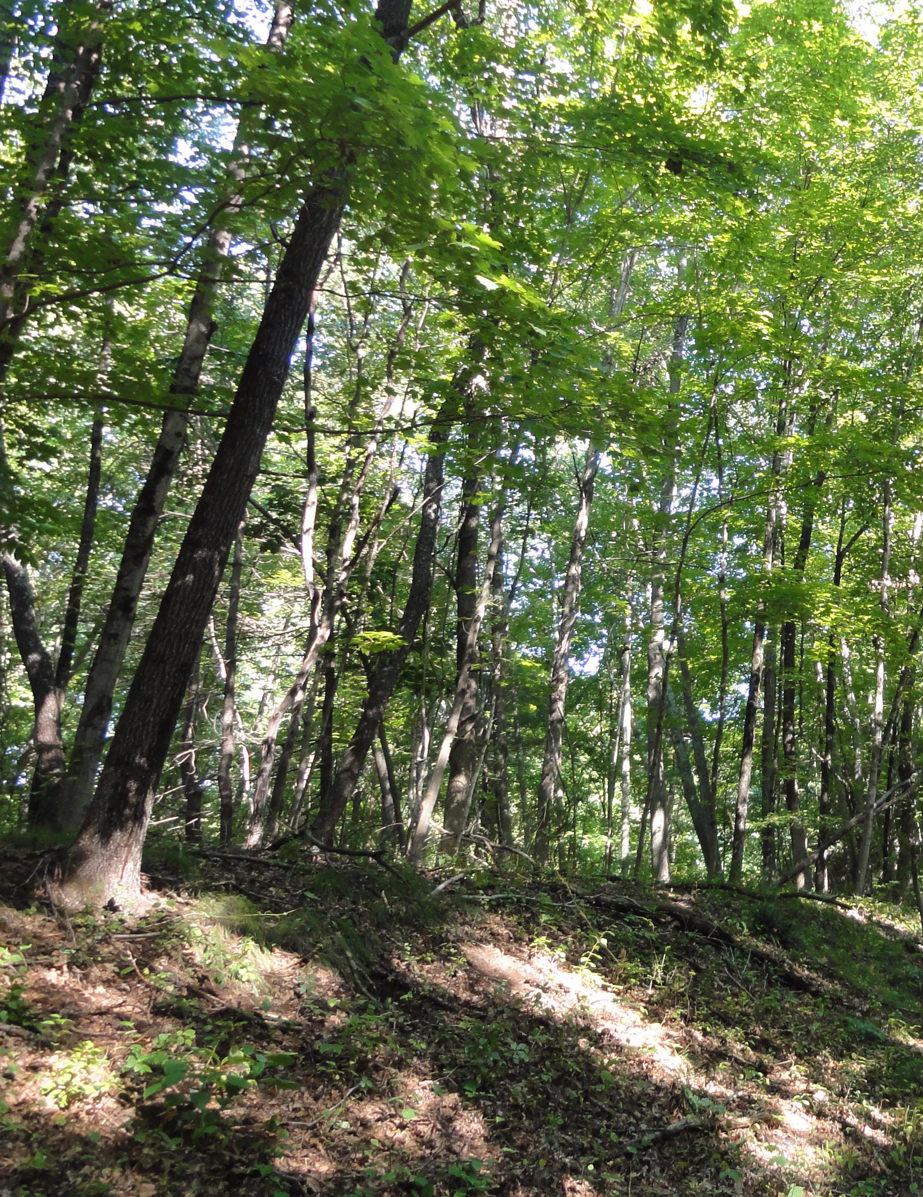
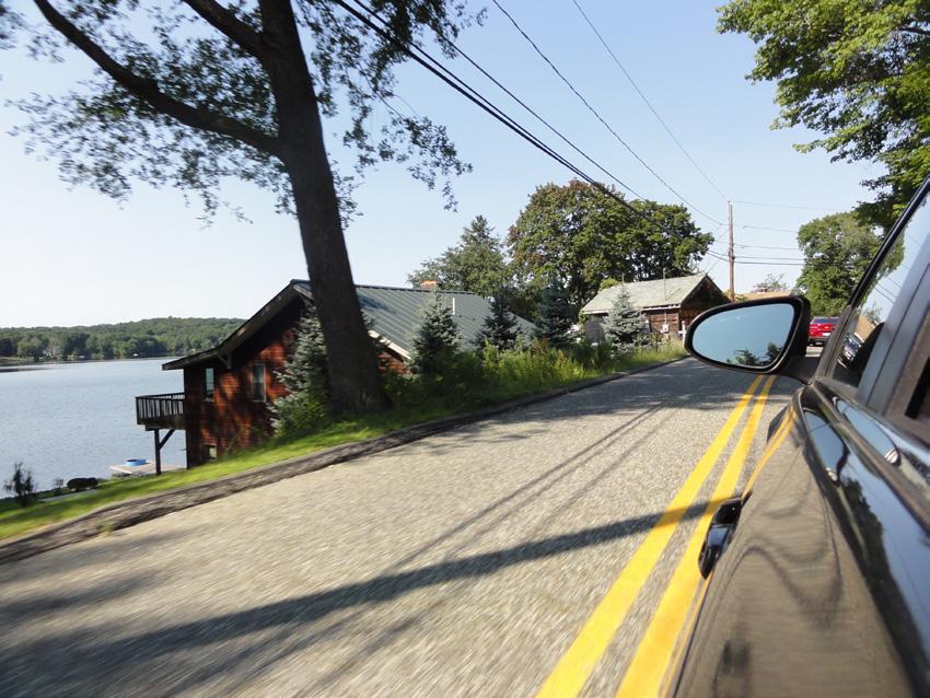
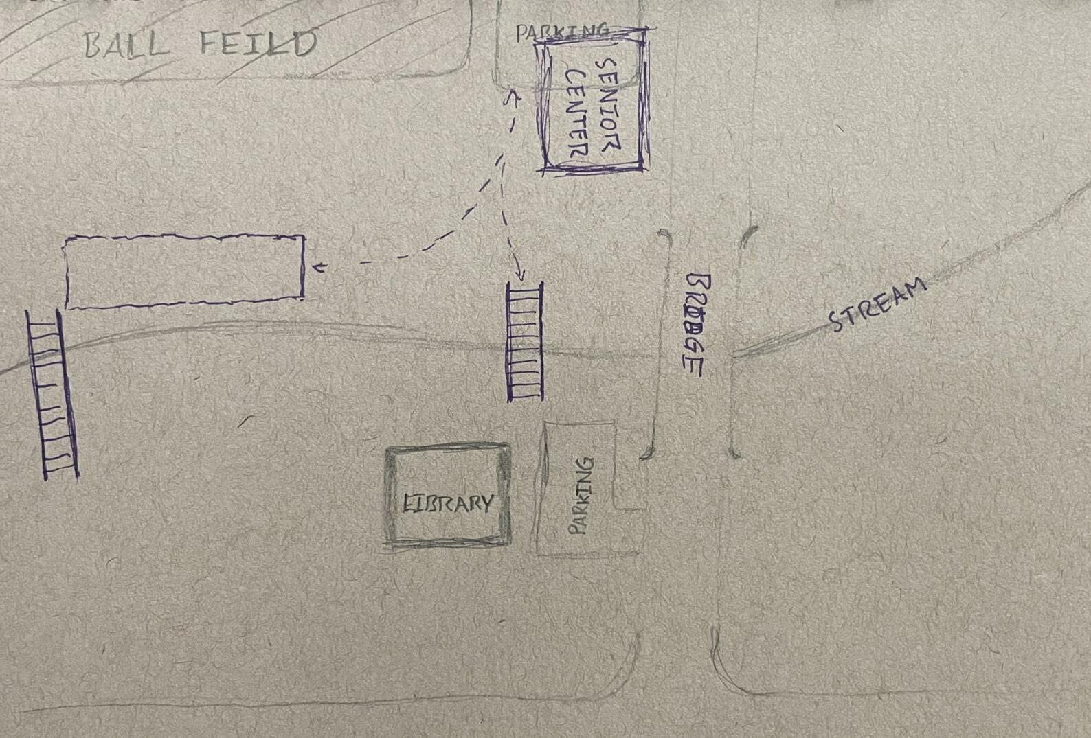
Site Context
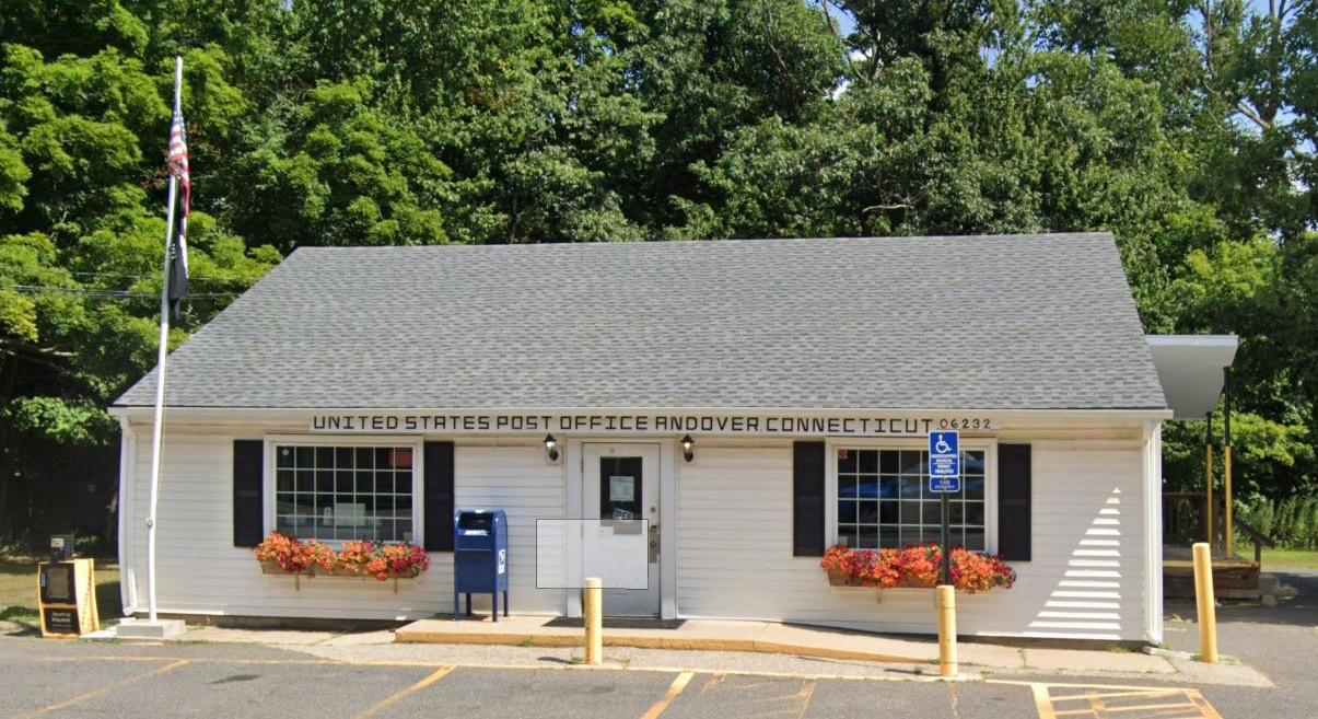
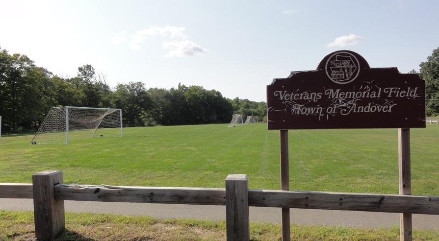
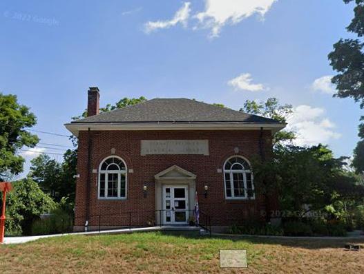
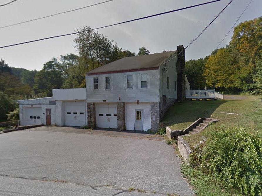

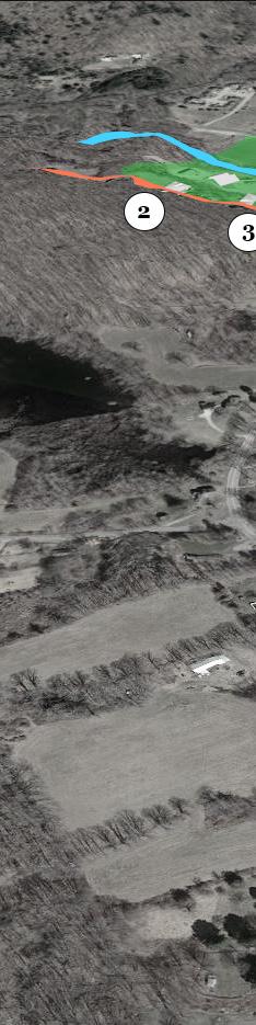
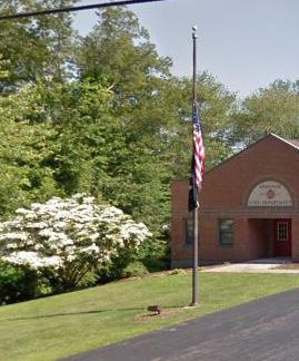
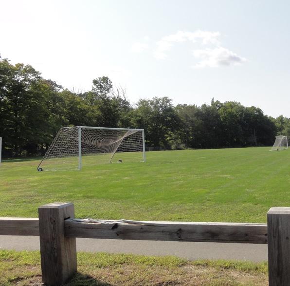
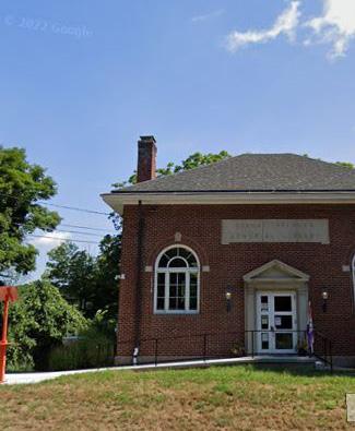
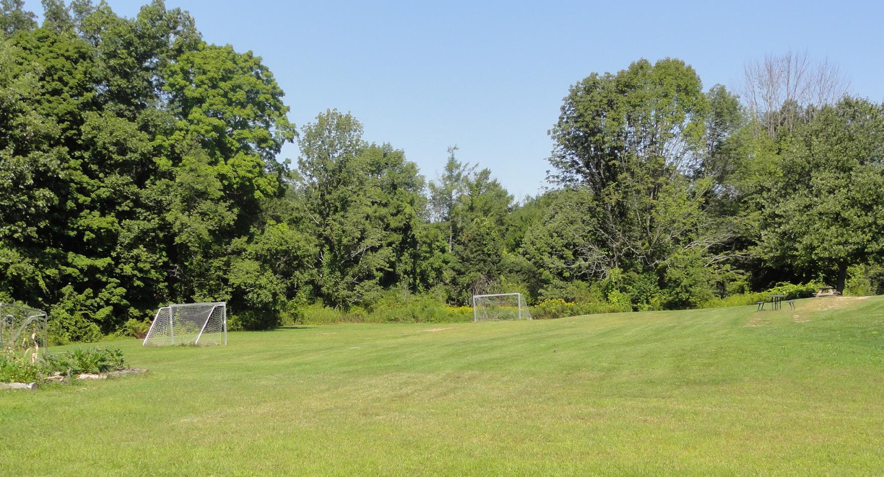
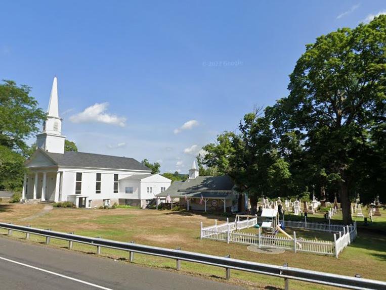
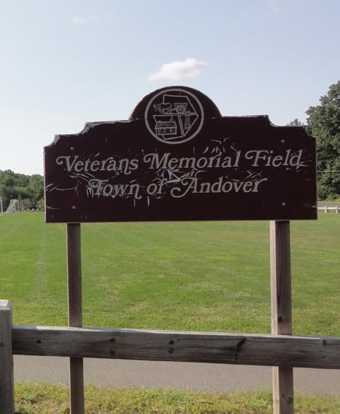
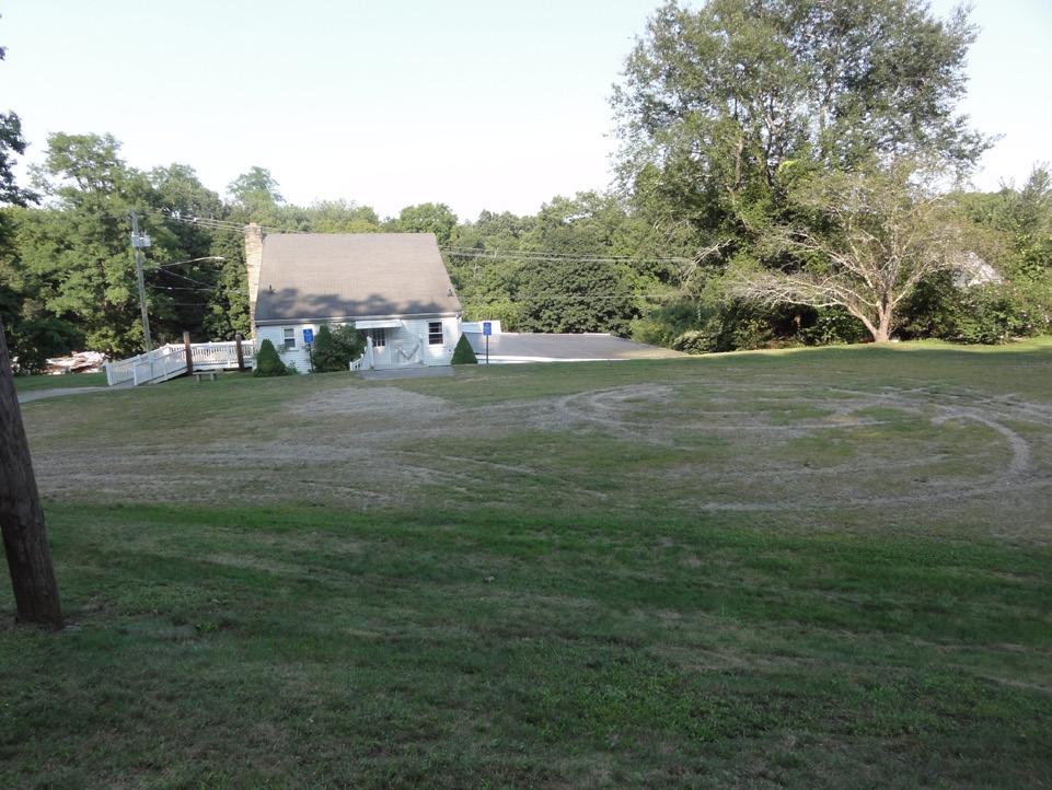
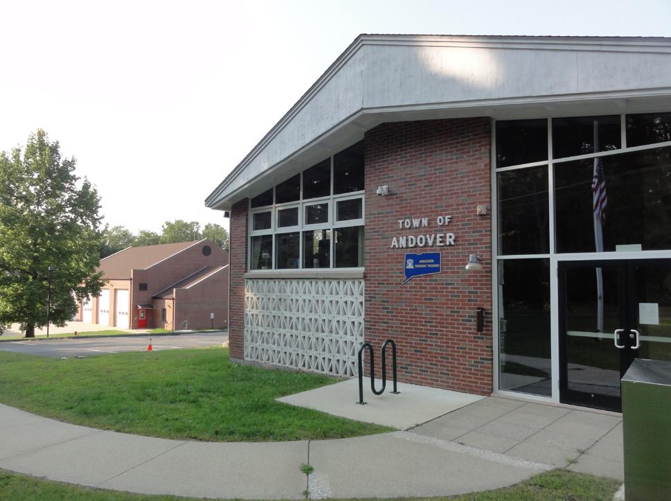
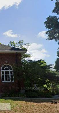
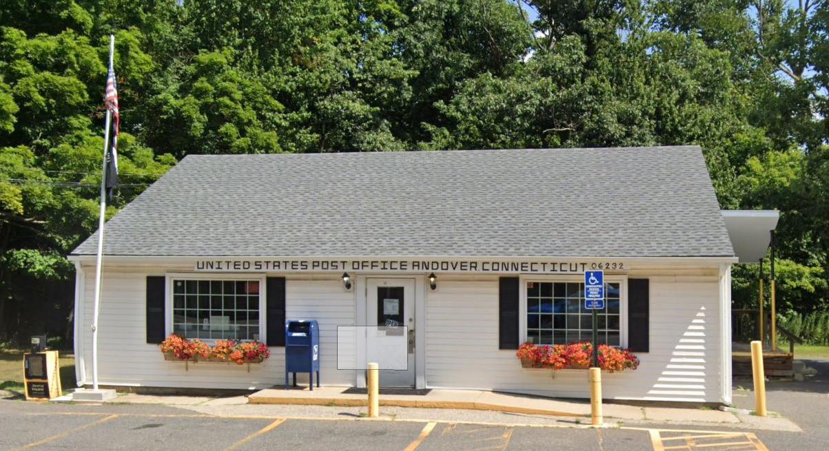
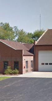
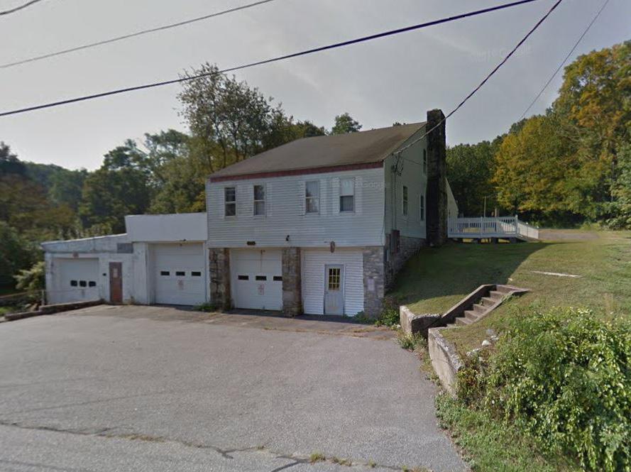
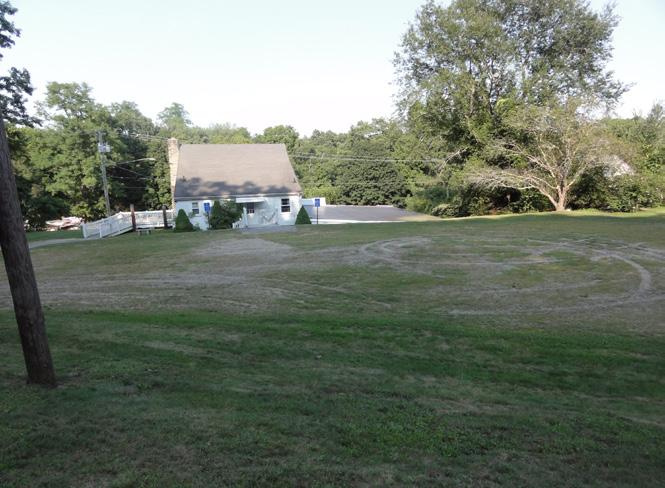
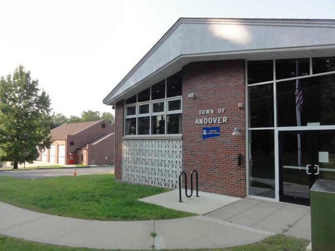
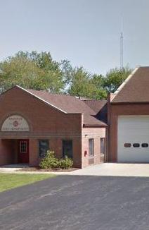
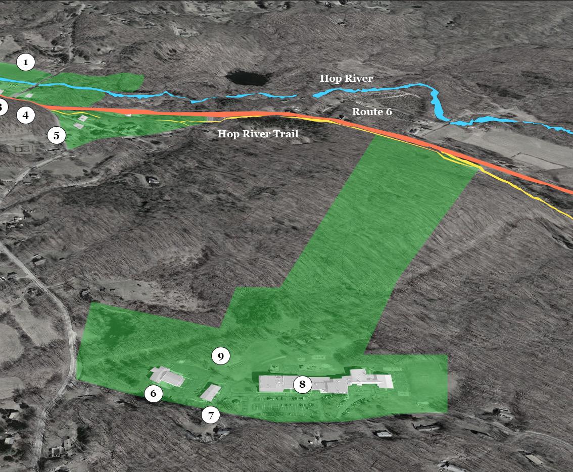
Area of Interest Existing Site Amenities (1) Ball Feild (2) Post Office (3) Public Library (4) Church (5) Old Senior Center (6) Fire Department
 Amenities
O---O---O---O---O---O
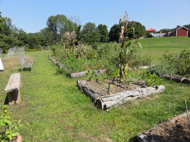
Department (7) Town Hall (8) Andover Elementary School (9) Community Garden
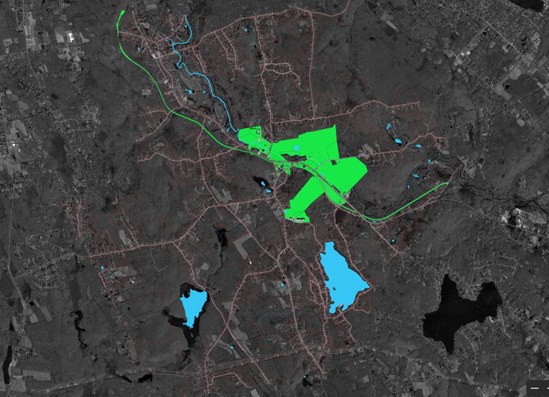
Inventory & Analysis
Andover Wetlands Map
Andover Buildings Road Surface
Impervious Surface Waterbody Line Dam Water Water
Wetlands
Alluvial and Floodplain Soils Poorly Drained and Very Poorly Drained Soils
0 0.5 1 0.25 Miles
It is important to note that wetlands are prevalent in the town and Connecticut as a whole. For the amount of wetland area to be removed, twice as much is needed to be implemented in the town. Spaces ideal for this would be areas zoned for undevelopment, (shown later in Land Use).
Esri, HERE, Garmin, SafeGraph, GeoTechnologies,


Andover Wetlands Map
Andover Buildings Road Surface Impervious Surface Waterbody Line Dam Water Water


Road


VALUE
Density


0.000001 - 145.74 145.741 - 291.481 291.482 - 437.221 0 0.5 1 0.25 Miles
Using ArcGIS tools, we can see areas that have high traffic density. This data helps display areas that receive the most traffic and show opportunities for the downtown area. This also shows areas where it is important for vehicles to show down, at intersections. Elements such as trees, street lights and different color pavers can help indicate pedestrian and other vehicular movements while approaching.
Esri, HERE, Garmin, SafeGraph, GeoTechnologies, Inc, METI/NASA,
O---O---O---O---O---O
Land Use
At first glance, there is a variety of land zoned for specific use. For any growing town, it is important to have a source of revenue, thus, utilizing some of the areas for business is ideal to generate income. During this phase, there were two parcels that were unutilized, one commercial and the other retail. These parcels are in close proximity within each other and provide an interesting opportunity to intermingle with one another.
In addition, there is a large amount of undeveloped land to the north. This area can be used for implementing the area of wetland that would be removed. This push for more wetlands could also provide opportunities to implement more nature trails close to the local business area.
Hop River Trail State Owned Town Owed Department of Transportation Church Land
Eastern Con Privatly Owned Recreation Land Undeveloped Agriculture Retail Comercial Industrial
O---O---O---O---O---O
Case Study
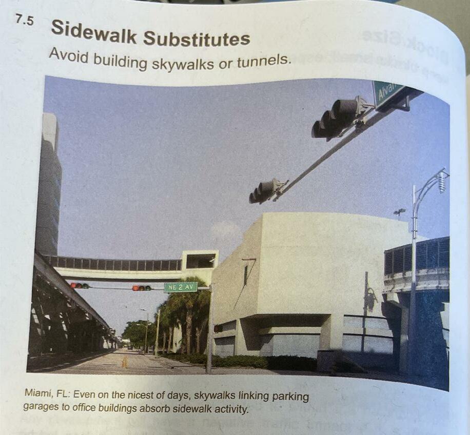
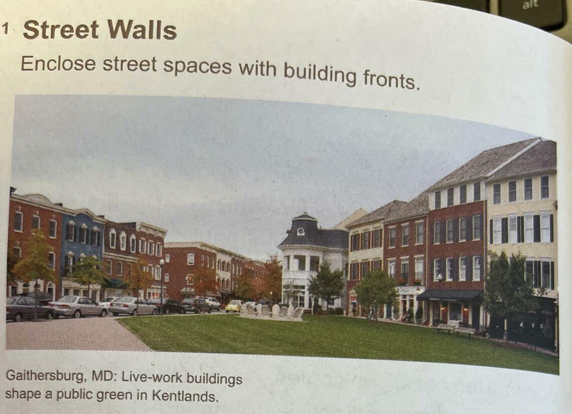
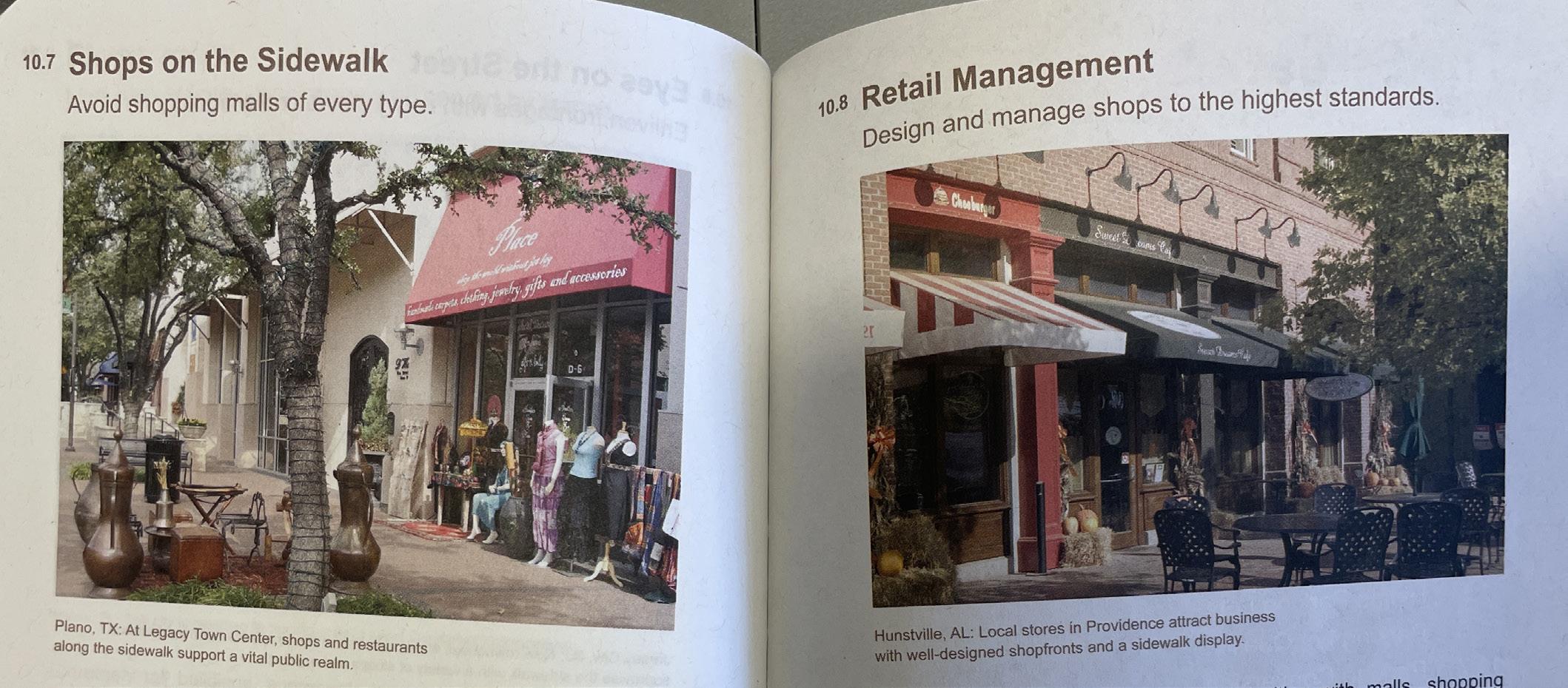
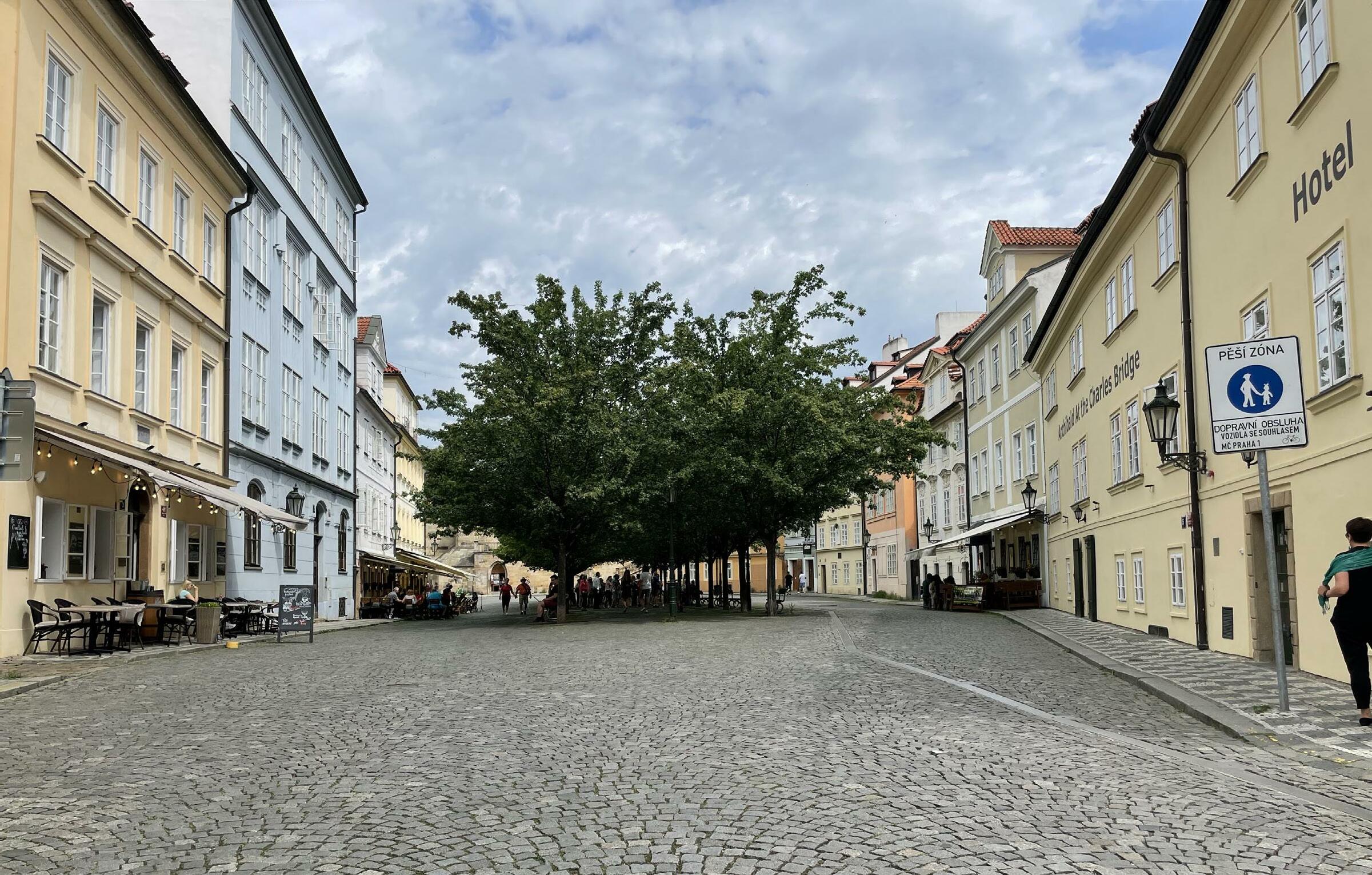
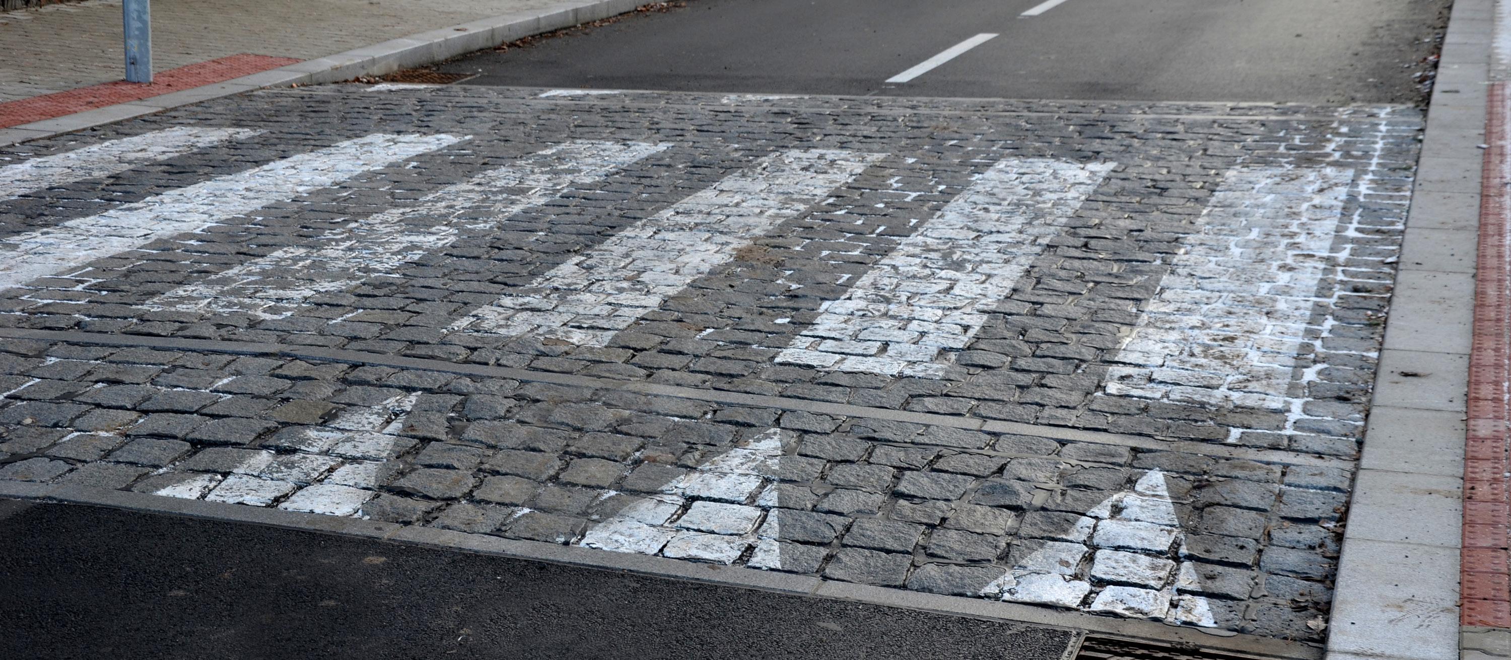
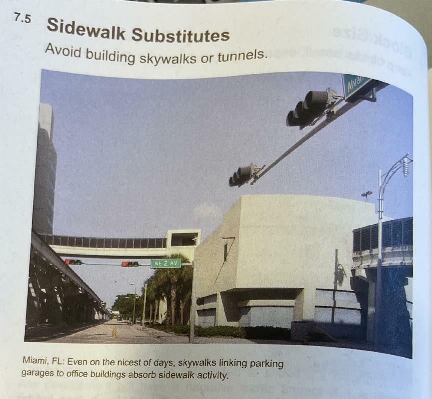
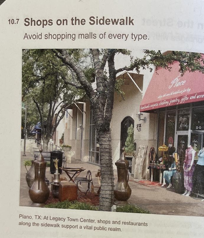
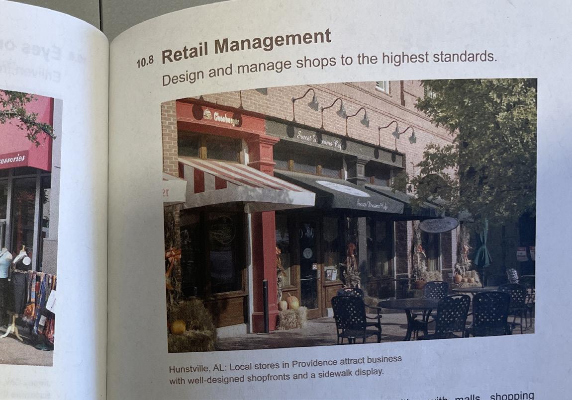
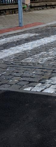
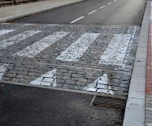
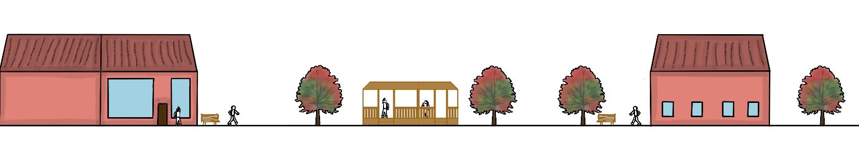
Inspiration came from a variety of places. First, is the book on smart growth. Pages describe information for strategies that towns and cities can use to help improve cities for living. Going over simple elements such as having mixed-use buildings and having retail close to the road. These create a sense of visibility and access. Then, a handful of experiences were taken when exploring cities. Notable experiences include enclosed spaces, a place where people can feel safe and secure, and different material for crosswalks, indicating the priority for pedestrians crossing the roads.
O---O---O---O---O---O
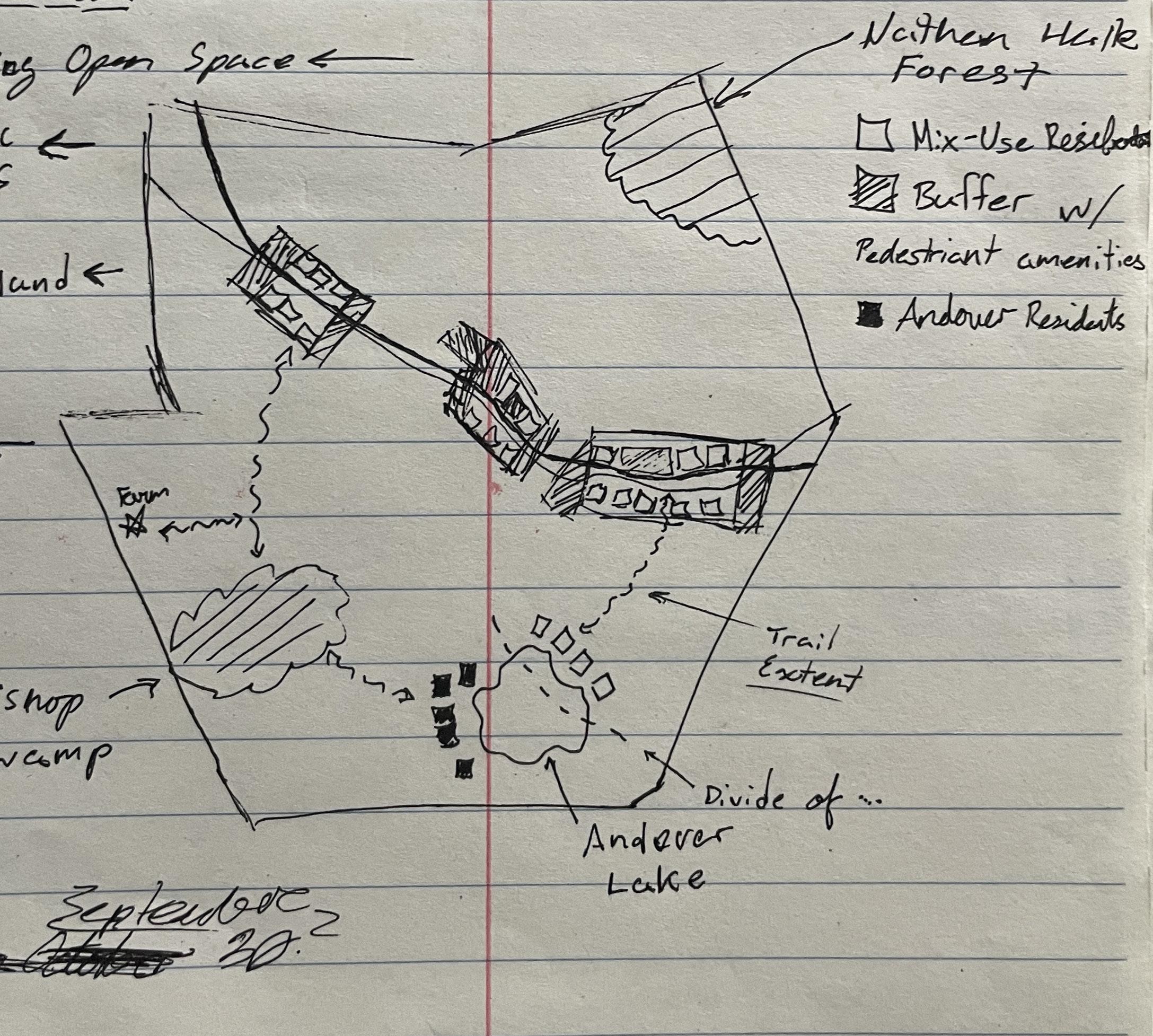
Diagrams of Thinking
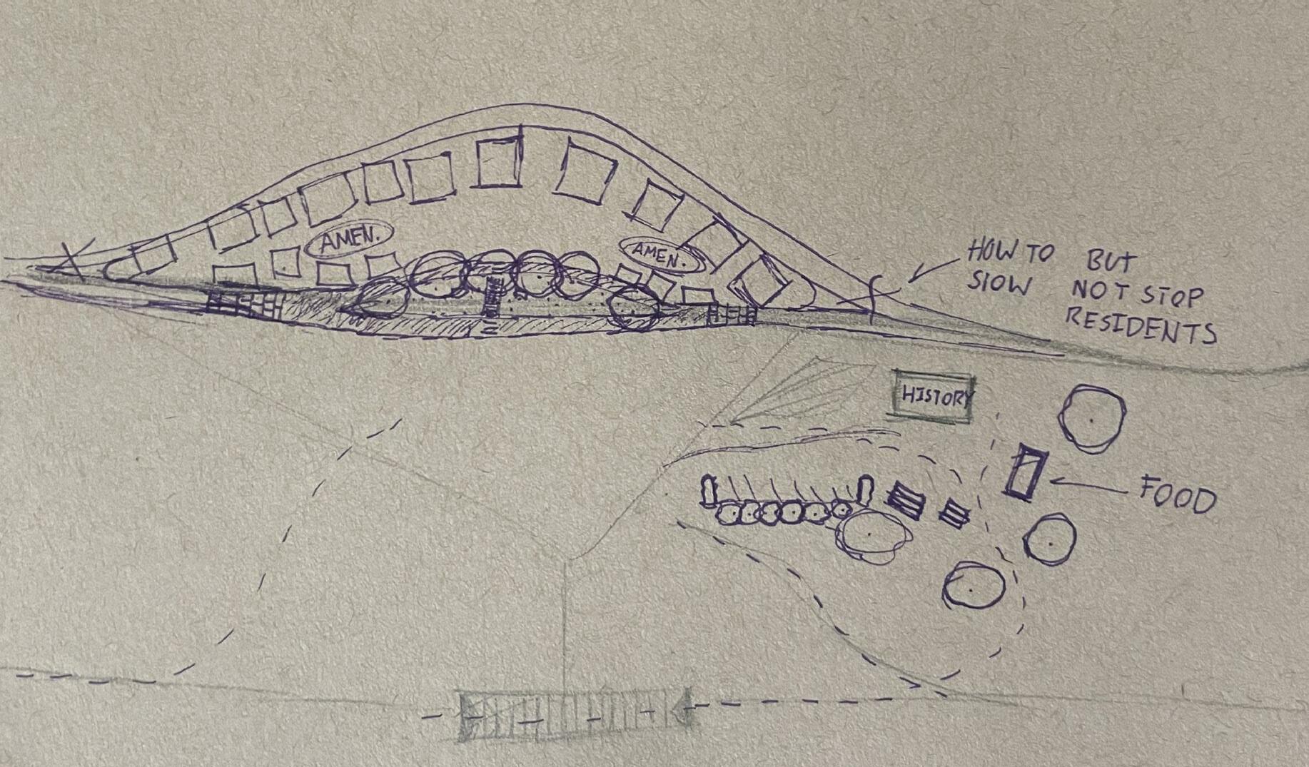
With notable dense areas with traffic, the center of the town seems ideal as it is already zoned for retail and commercial land use. It is an opportunity to start development in the area.

O---O---O---O---O---O---O
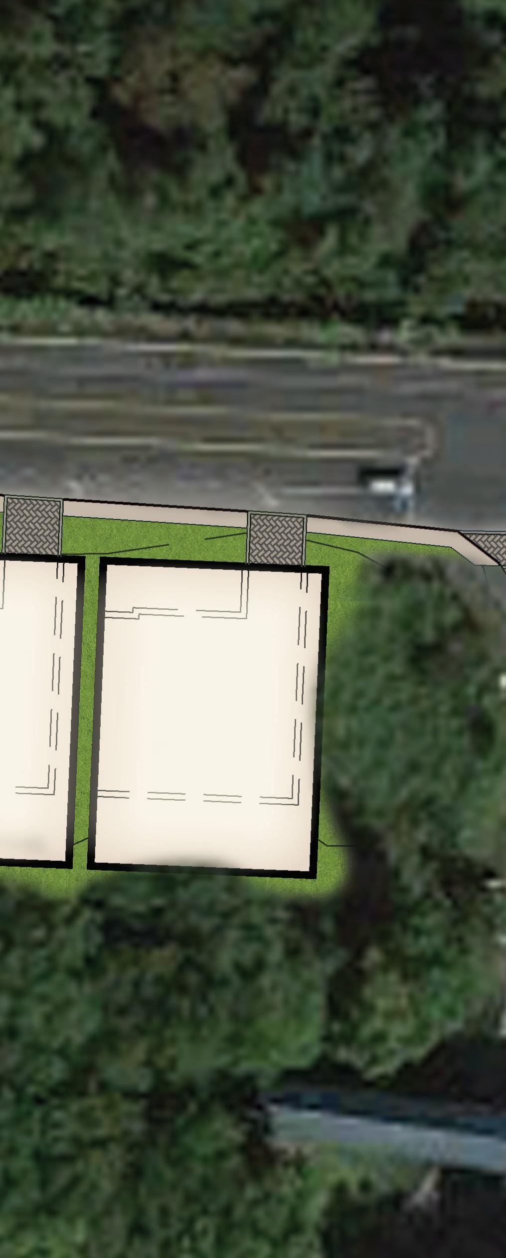
Centering on the focused retail and diagram of land use and
parcels, we can see the relation the surrounding area. This shows furthing design in local
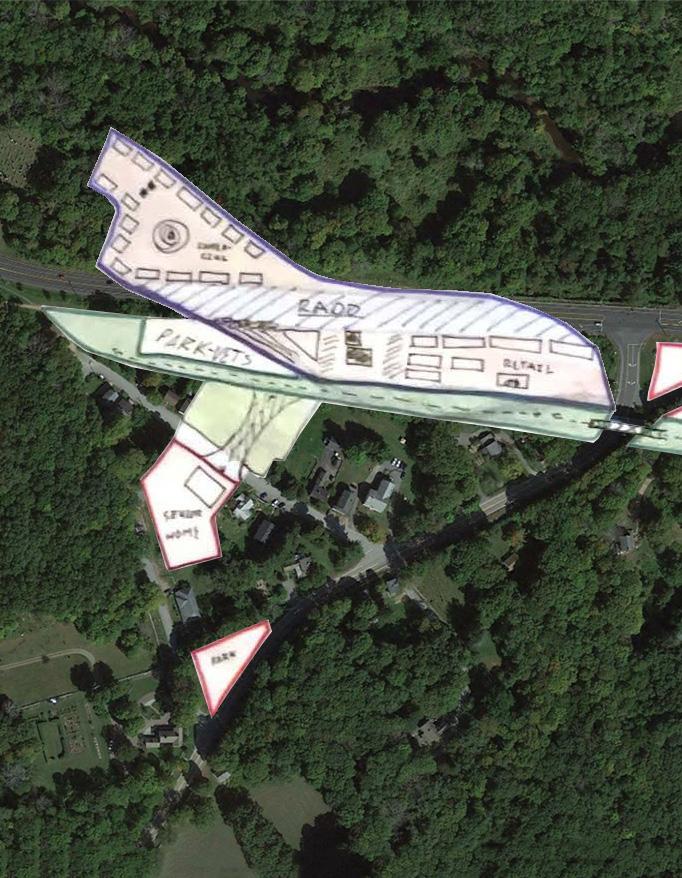
Drafting • Town Owned • Public Open Space • Retail/Commercial KEY
planning
businesses
and commercial parcels, a planning was made. From these they have with each other and shows possible expansion of growth, businesses and historic areas.
O---O---O---O---O---O---O
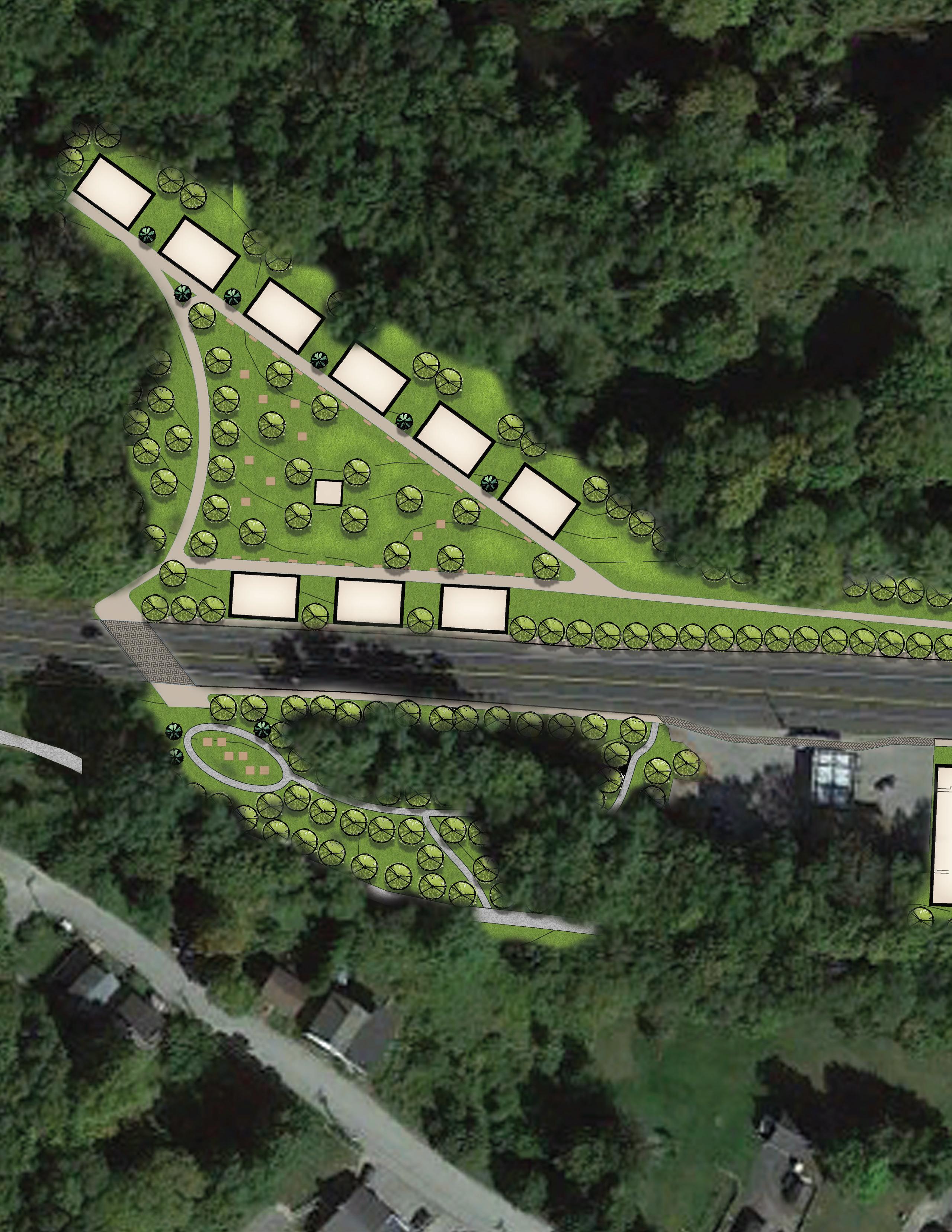
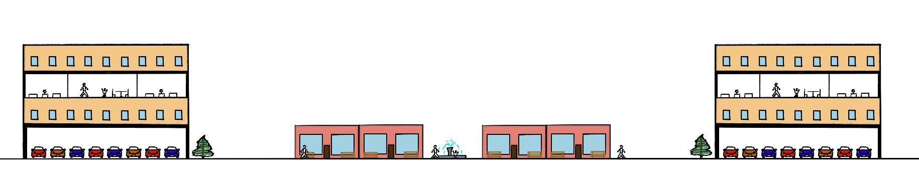
Mix-Use Dowtown OUTLET STORES MIX-USE ORCHARD PLAZA
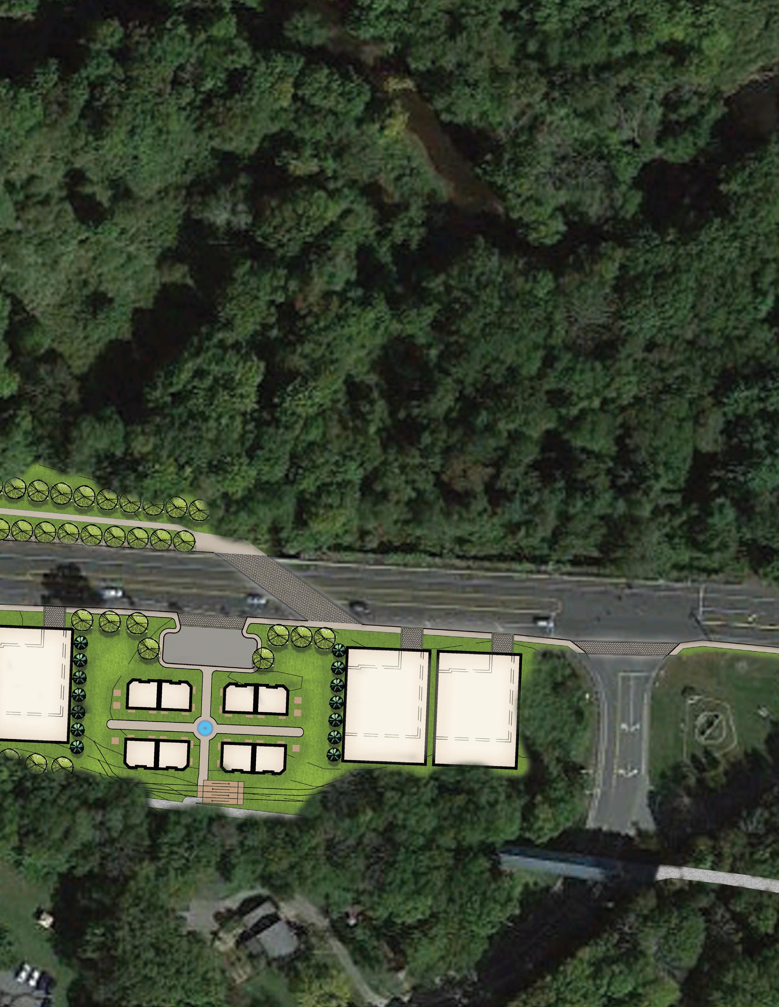
O---O---O---O---O---O---O MIX-USE MIX-USE MIX-USE RETAIL RETAIL RETAIL RETAIL Finalized area for retail and commercial use. This is just one of the possibilities for these unutilized parcels.
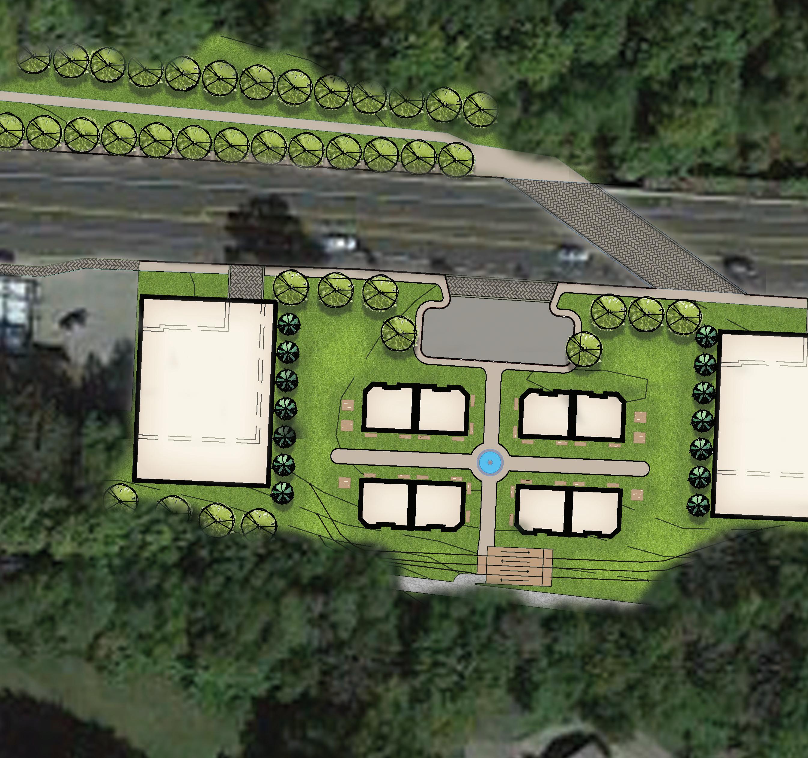

Mixed-Use MIX-USE MIX-USE RETAIL RETAIL RETAIL RETAIL
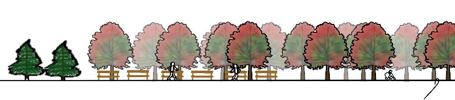
With mixed-use buildings, there is the opportunity to merge multiple amenities together by building up. Such amenities included parking, retail, recreation, and housing. Depending on the need, a floor can be dedicated for the occasion. With small retail stores by the trail, this can provide much needed business for those using the Hop River Trail daily. This can include bike stores and grocery stores. These types of stores can help promote the use of the trail for new residents.

MIX-USE
O---O---O---O---O---O---O
MIX-USE
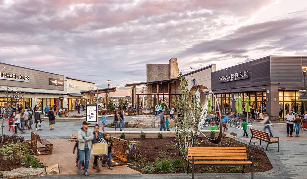
Outlet Stores
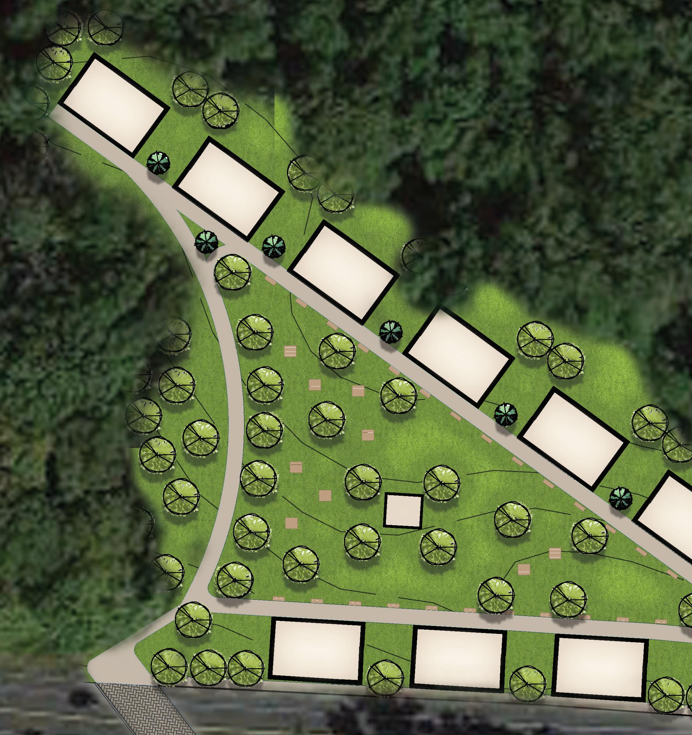 GAZEBO
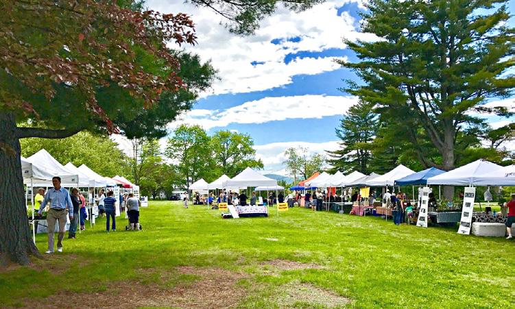
An outlet mall might seem to be an odd choice to have in a rural area. However, route 6 is a road that receives much traffic. This can lead people to come into the city to shop and visit. In addition, there is a large plaza area for events that the town can host throughout the year. This space can be used for farmers markets, festivals, and other sorts of activities they would need to have within a public space.
O---O---O---O---O---O---O
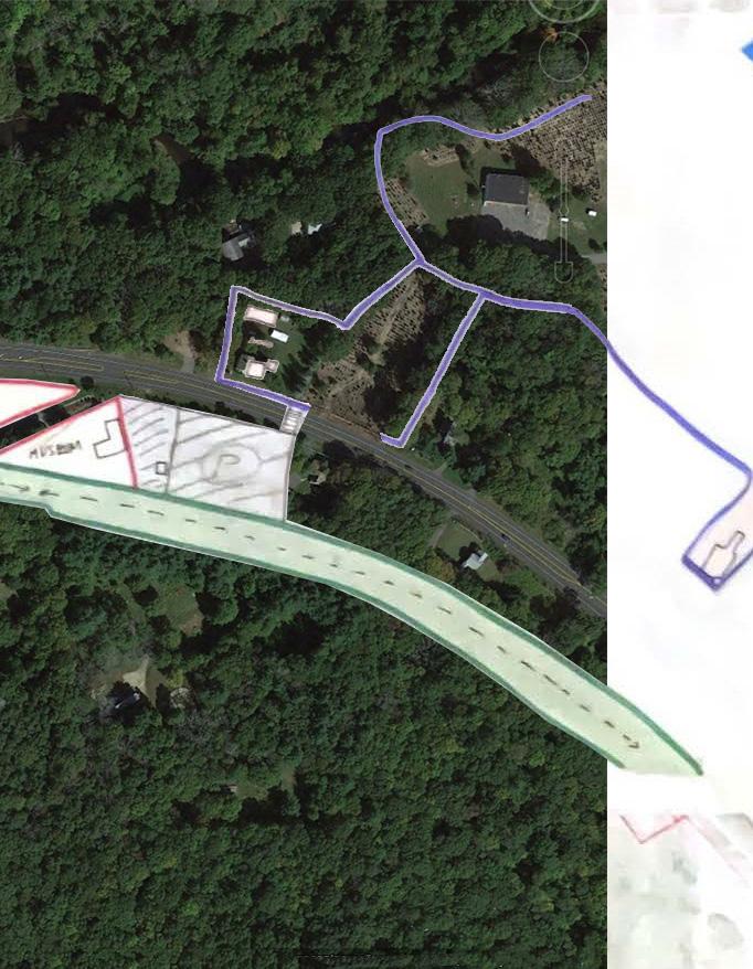
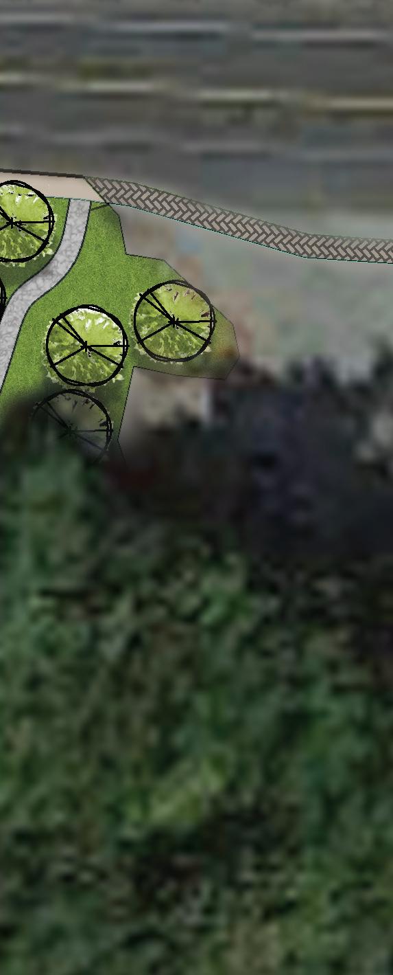
Orcharcd
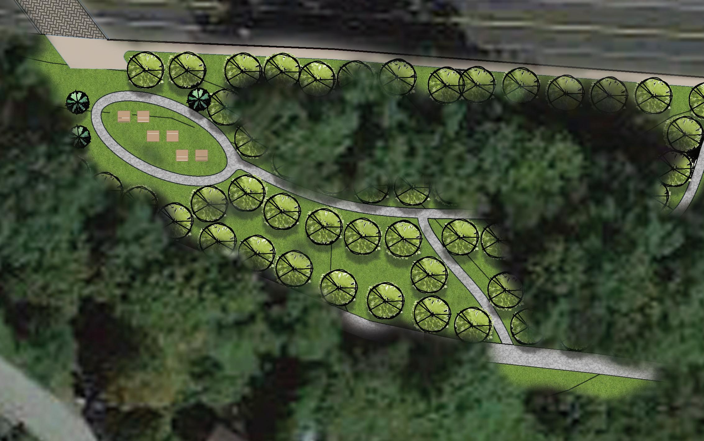
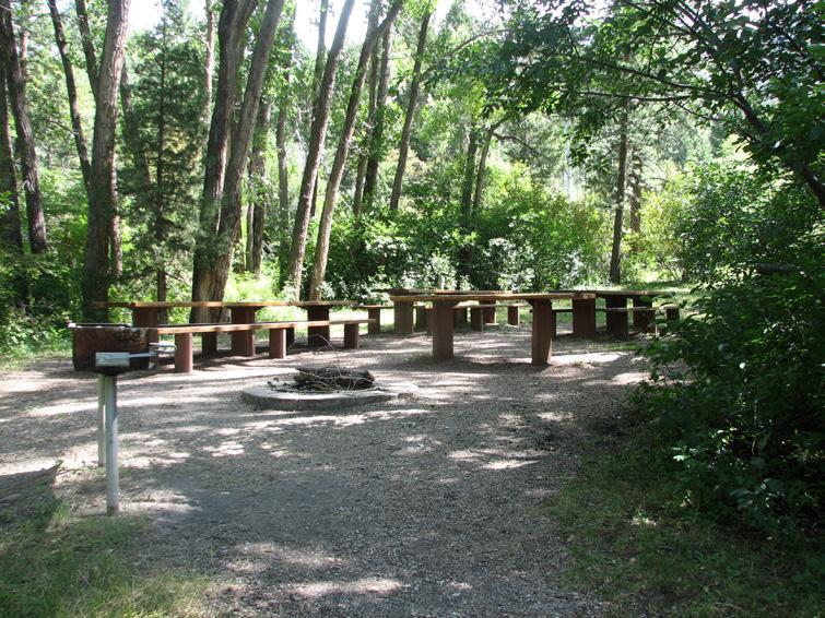
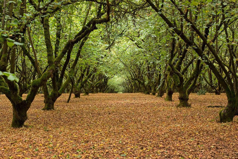
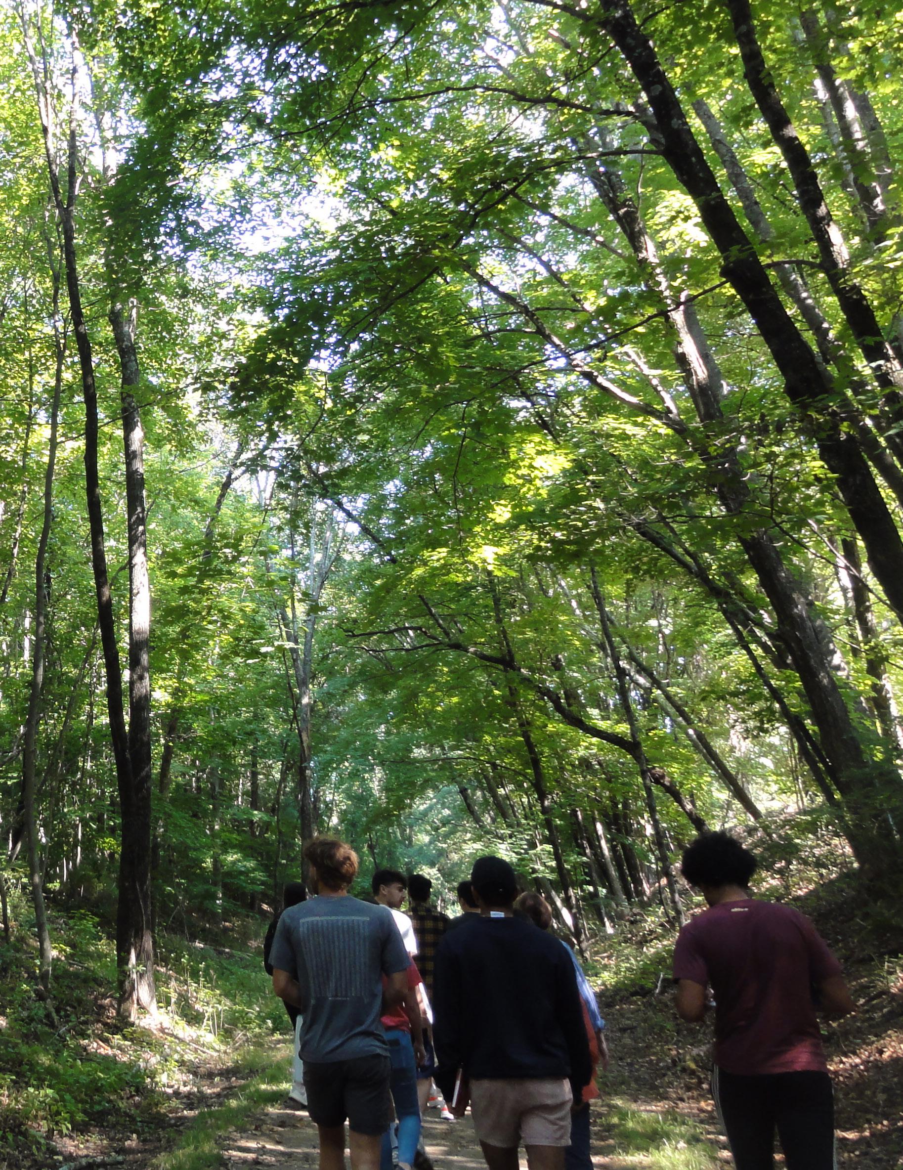
With some space that was separated from all the rest, it is best to create a space for isolation. A retreat from life from the road and the town. This is a good safe space for residents to visit and be surrounded by nature while not being too far from home. Within walking distance, they are able to come and go as they please.
O---O---O---O---O---O---O