JEFFERSON CHALMERS
CITY OF DETROIT
INFRASTRACTURE EXISTING CONDITIONS STUDY

SUSTAINABLE LAND USE PLANNING
ZHUOPEI JIN

CITY OF DETROIT
INFRASTRACTURE EXISTING CONDITIONS STUDY
SUSTAINABLE LAND USE PLANNING
ZHUOPEI JIN
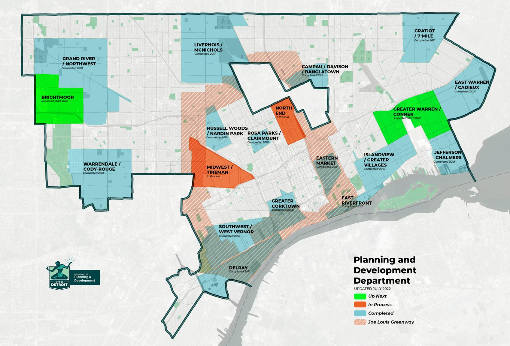
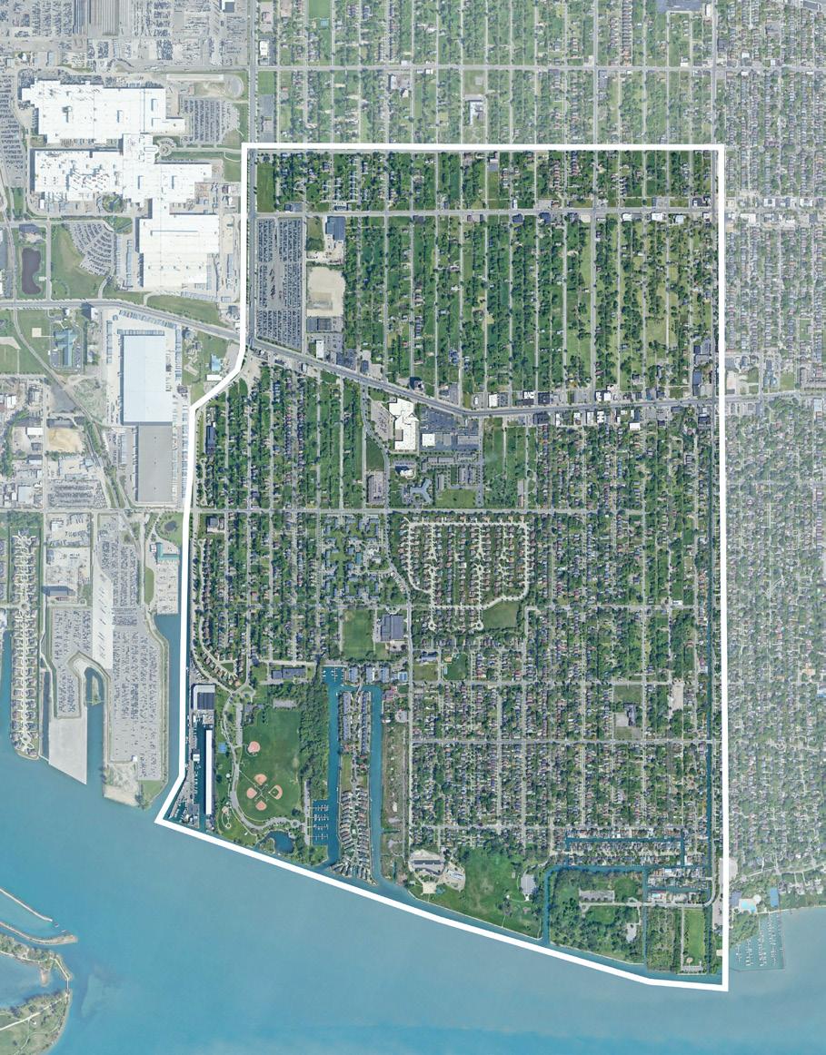
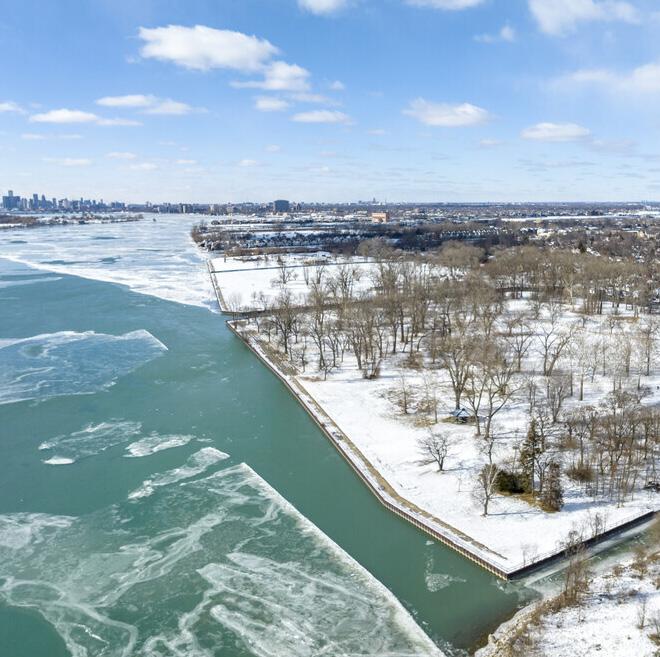
Jefferson Chalmers, nestled on the east side of Detroit, is under the strategic of the City of Detroit’s Planning and Development Department (PDD) as part of an ambitious plan to rejuvenate 10 crucial areas across the city. This initiative is rooted in the guiding vision of creating “One City, For All of Us”. Jefferson Chalmers is distinguished by its rich history, active community participation, natural and architectural assets. The neighborhood boasts an extensive network of waterfront parks and canals, offering residents and visitors alike a plethora of outdoor recreational activities including kayaking, boating, and fishing.
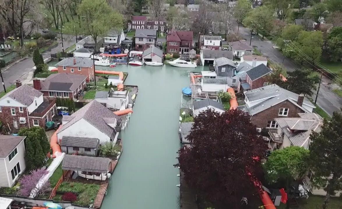
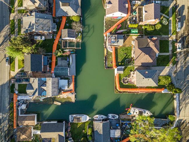
The area is characterized by its wellmaintained canal communities such as Harbor Island, Klenk Island, and Fox Creek, which not only serve as beautiful residential areas but also stand as remnants of the neighborhood’s colorful past, including its time as a Prohibition-era smuggling route. Recent years have seen Jefferson Chalmers embark on innovative economic development initiatives, including the launch of pop-up businesses along Jefferson Ave and the restoration of historic apartment buildings. These efforts contribute to a diverse housing market and help preserve the neighborhood’s charming historical
aesthetic, marked by streets lined with bricks laid over a century ago.
Despite its many strengths, Jefferson Chalmers has not been without its challenges. The area has experienced significant flooding events, putting a strain on both its infrastructure and community resilience. These events have underscored the necessity for continued investment and strategic planning to ensure the neighborhood’s long-term growth and sustainability, making it a focal point for development strategies that aim to balance historical preservation with modern urban living needs.
Source: https://theneighborhoods.org/neighborhoods/jefferson-chalmers
 VERNOR
STELLANTIS
VERNOR
STELLANTIS
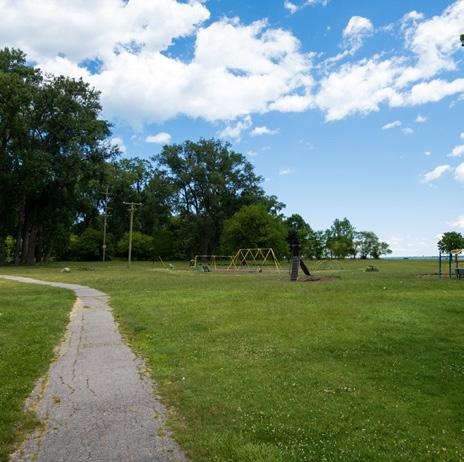
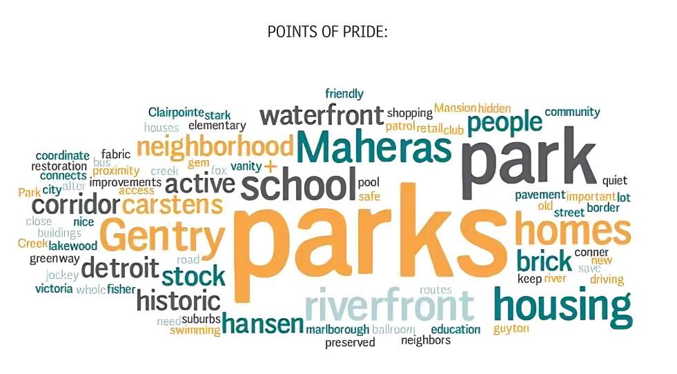
The four parks: Maheras-Gentry Park , Alfred Brus Ford Park, RiverfrontLakewood East Park and Mariner Park, serve as a communal backyard where hosting gatherings, fostering connections, and providing a lush backdrop to the neighborhood’s daily life. Jefferson Chalmers’ pride in these green spaces is evident in survey from community meetings, symbolizing the neighborhood’s resilience and communal spirit. Neighborhood’s long-term growth and sustainability, making it a focal point for development strategies that aim to balance historical preservation with modern urban living needs.
Points of Pride:
Legend
Jefferson Chalmers Boundary
Bike Lanes
School School Buffer
Residential Industrial Planned Development District Commercial
Park and Landmark
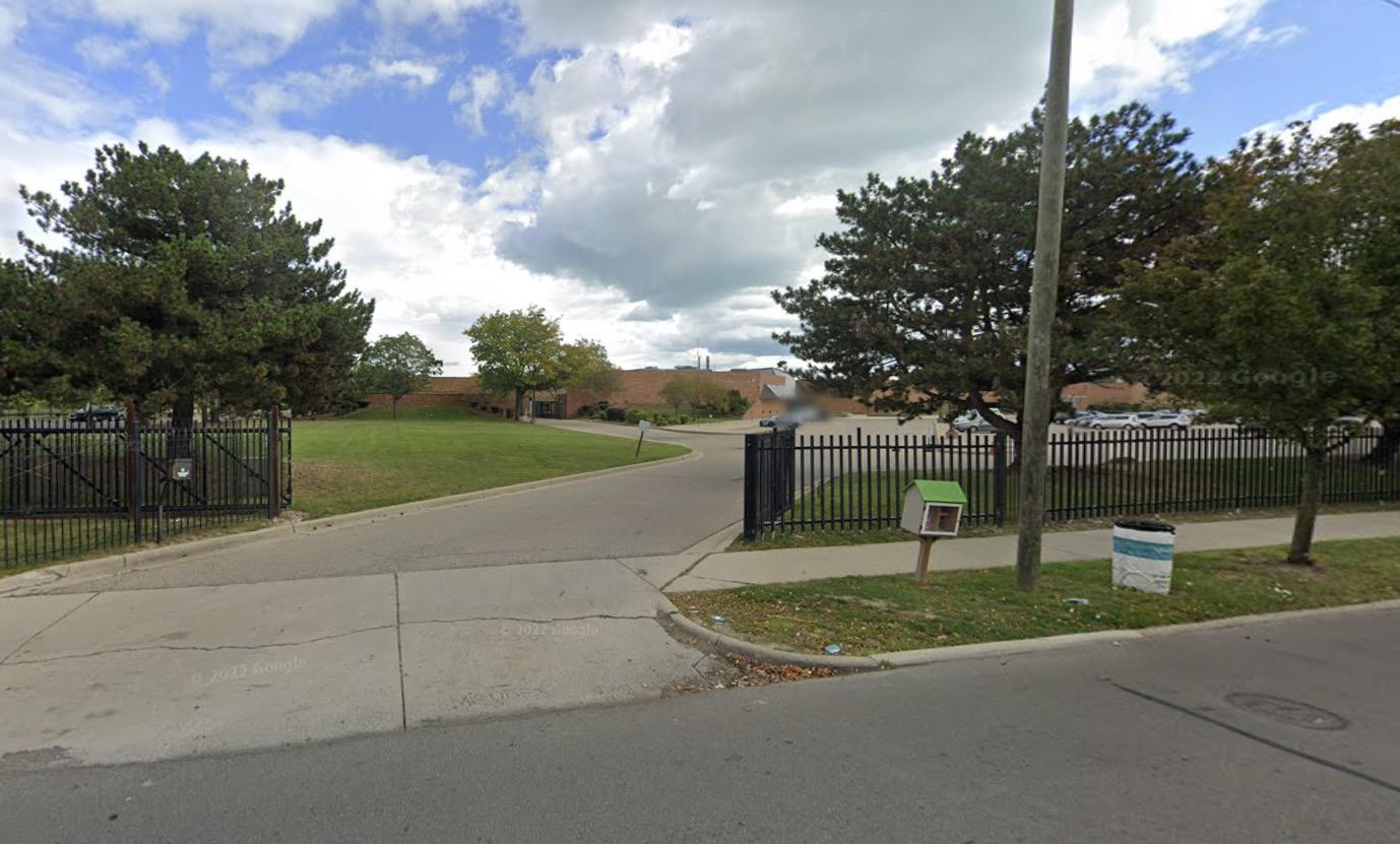
In Jefferson Chalmers, the educational landscape comprises three schools: a high school, an elementary/ middle school, and a charter school. These institutions are strategically located near predominantly residential and some commercial areas or vacant lots. The location in residential zones means that the vicinity of these schools is well-equipped with sidewalks and crosswalks, enhancing pedestrian safety. However, the high school’s entrance is primarily designed for vehicle access, lacking a clear separation between pedestrian pathways and vehicular roads, which can compromise pedestrian safety.
When mapping a half-mile radius around each school, it becomes apparent that this area encompasses a portion of the neighborhood. Notably, Carstens Elementary/ Middle School is positioned close to a park, offering additional recreational and educational opportunities to its students. This proximity to parks indicates the potential for integrating outdoor learning and physical activity into the school curriculum, benefiting both students and the Jefferson Chalmers neighborhood.
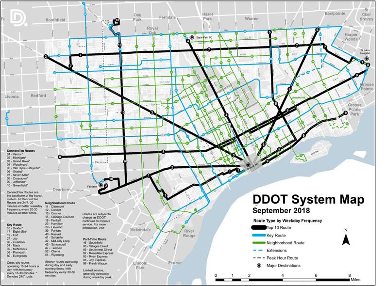
According to the Detroit DDOT System Map, one of the top ten routes, Route 9, traverses the entire Jefferson Ave in the neighborhood, where its commercial zones adjacent to the bus lanes. Route 9 operates from downtown Detroit to Jefferson East. While the exact level of service cannot be determined, the bus operates with a frequency of every 15 minutes during peak hours, every 30 minutes during daytime on weekdays, and every 30 minutes during daytime and hourly at night on weekends. As shown on the map, there are other 3 additional routes pass through the Jefferson Chalmers neighborhood. When mapping a quater-mile radius around the bus stops, we can see DDOT services most of the residential area. However, there’s a small segment along Kercheval Ave remains outside the coverage of public transit accessibility.
Bus stations in the area predominantly border commercial and residential zones, along with a few vacant lots. Sidewalks are adjacent to these stations, indicating some consideration for pedestrian access. However, there’s a need for improved biking and pedestrian infrastructure to better serve the neighborhood’s needs.
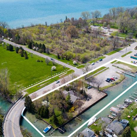
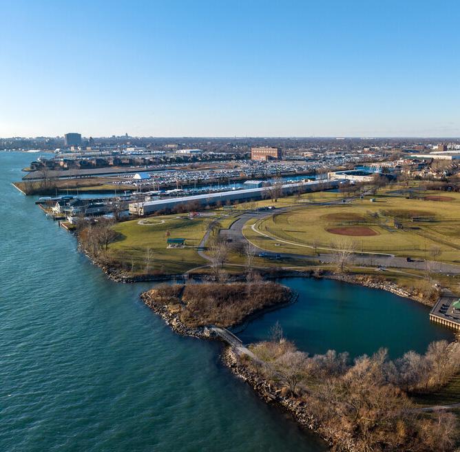
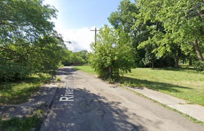
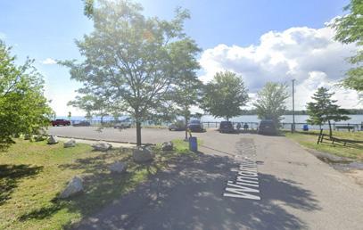
Despite its prime location along the Detroit River and being home to four substantial city parks, with canals weaving into the neighborhood, Jefferson Chalmers experiences a notable disconnect between its park areas and the pedestrian accessibility to park and canal for its residents. All four parks, not linked to one another, are interspersed with private holdings, barriers, vacant lots, and the canals themselves, all of which limit public access. Presently, there are only four points of entry- at Clairpointe/ Conner, Lenox, Lakewood, and Alter- that facilitate access to these riverfront parks. These entrances are designed predominantly for vehicle access, leading directly onto parking areas, thereby not being pedestrianfriendly.
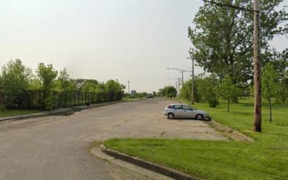
Although Jefferson Chalmers is recorded to have bike lane spatial data, these lanes are absent on Google Street View, indicating a gap in cycling infrastructure.
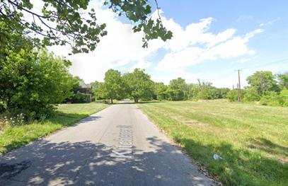
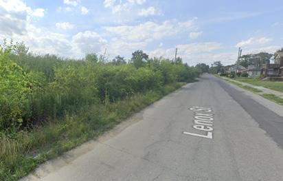
Long blocks impedes walkability, making it arduous for residents to move between points of interest within the neighborhood.
More than 60% tree canopy cover within the Jefferson Chalmers, which provides a health of natural ecosystems.
The left map shows a total of 12 stormwater infrastructure in Jefferson Chalmers, showcasing their connections to parks, water bodies, canals, and areas prone to 100-year and 500-year floods. Notably, three schools are situated within 100-year flooding zone, they can act as emergency shelters and community hubs during crises.
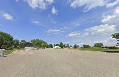
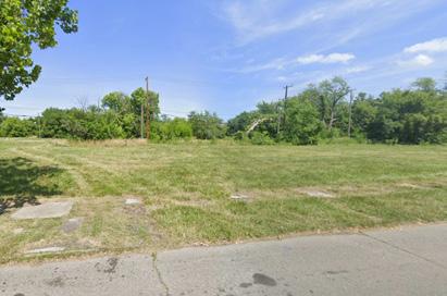
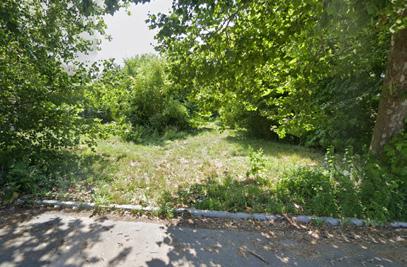
The map also identifies vacant lots in Jefferson Chalmers, highlighting their current lack of utilization, which contributes to safety concerns and diminishes the neighborhood’s sense of community. These vacant lots, particularly where they overlap with stormwater infrastructure and floodprone zones, offer a unique opportunity for the neighborhood. Adopting low-impact development strategies, such as creating rain gardens, environmental education projects, and installing solar panels, can be oppotunities to benefit Jefferson Chalmers.
Integrating rain gardens into the streetscape presents an additional opportunity to enhance walkability, safety, and effective stormwater management in the area.
Unique historical and cultural identity;
Well-organized neighborhood fabric introduced by historical ribbon farms;
Existence of bus and bike lanes enhances mobility for residents;
Presence of 4 parks line the river’s edge;
Presence of a rain garden and an underground drainage system;
Over 60% of the area benefits from tree canopy cover, promoting ecosystem sustainability
Development of waterfront amenities and historical tours can increase local revenue;
Transform vacant or underused properties into vibrant community spaces or residential areas;
Integrating rain gardens into streetscapes can improve walkability, safety, and stormwater management;
Iimproving public transportation options (like bike lanes and pedestrian paths) can increase accessibility and promote healthier lifestyles.
Limited walkability to parks and the riverfront;
Walking across the neighborhood challenging, limiting access to amenities;
The separation of parks by private property, fences, vacant city property, and canals restricts access to green spaces;
Outdated infrastructure, including roads, bridges, and public utilities;
Presence of vacant lots can lower property values
Schools located within 100-year flood zones indicates a vulnerability to flooding, posing a risk to community safety and infrastructure;
Long blocks and inadequate pedestrian infrastructure hamper the ease of navigating the neighborhood;
New development may reduce tree canopy cover if not managed appropriately;
The aging infrastructure, if not adequately maintained or updated, could lead to increased risks, including water main breaks or road disrepair
As improvements and developments occur, there’s a potential risk of gentrification