M Focus on: Maintenance & Operations
Worcester partners on LIDAR pilot program By DENISE FEDOROW | The Municipal
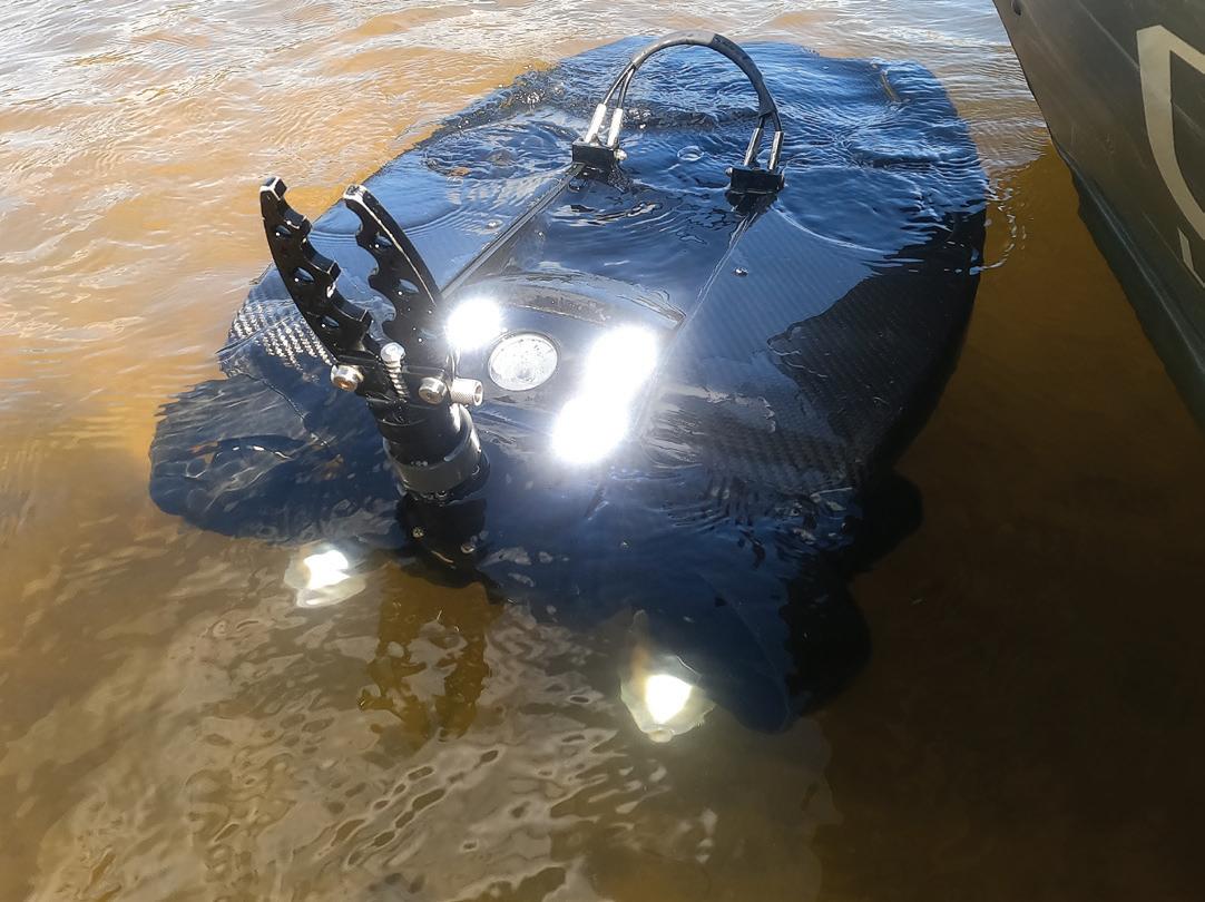
The city of Worcester (pronounced Wooster), Mass., officials took a chance on some recent college graduates and their new technology to pilot a program to improve infrastructure using LIDAR technology. Former Worcester Polytechnic Institute students approached the city with the idea to use LIDAR to identify potholes, according to department of public works Commissioner Jay Fink. The former students, Daniel Pelaez, Noah Budris and Noah Parker, had graduated WPI in 2020 and formed their company, Roadgnar, that summer. They’d started working on the concept two years prior during their junior year and worked on it part time until they graduated and then “went for it.” The result was their Infrascan sensor. “It all started with problems we saw going to school in New England. The deterioration of the infrastructure — roads, sidewalks, etc. — and we wondered what towns and cities were doing to manage their 22 THE MUNICIPAL | JANUARY 2022
infrastructure,” Pelaez said. “We were learning about this technology at the same time, and we thought we could use it and make everyone’s lives easier.” Fink said the group approached the city with a pilot program to read road surfaces, and officials agreed to have them use the technology on the streets in Hope Cemetery. “The reason we chose the cemetery is because it looks like a street, acts like a street as far as computer simulation but with less traffic and more latitude and the ability to scrutinize the information,” he said. “They surveyed the streets, and it shows where the flat plane of the street would be and then any deviations — any imperfections representing potholes or sections of asphalt missing or sunken casting, for example.”
ABOVE: This 3D rendering is a mapping image of a city street using Roadngar’s Infrascan LIDAR technology. Roadgnar CEO Daniel Pelaez explained the red lines on the image are the paint markings on the road. (Photo provided by Roadgnar)
“The overall goal is that this technology is very mobile so with the futuristic thought that we could affix the equipment on our vehicles like a street sweeper or trash truck so as it’s going up and down every street it could be gathering data for us simultaneously,” Fink said. If that kind of information were available, it could update what the city has, show where the defects are and improve its records on road conditions, which would help the city make resurfacing project decisions. The city officials said they weren’t aware of any other circumstance where LIDAR technology had been used in Worcester prior to this point. Fink explained historically what the city had done was hire a firm to survey the streets and give a pavement condition index,