SSEF Fieldtrip to Paraiba, Brazil Dr. Hao Wang Sebastian Hänsel Alexander Klumb Swiss Gemmological Institute SSEF
Issuu converts static files into: and more. Sign up and create your flipbook.
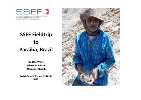
SSEF Fieldtrip to Paraiba, Brazil Dr. Hao Wang Sebastian Hänsel Alexander Klumb Swiss Gemmological Institute SSEF