Using Maps: Discovering History Series, by Paul Wolter and Beverly Vaillancourt, M.Ed.
Grades 3 - 5
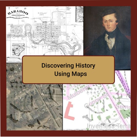
William Canfield’s map of Baraboo was drawn around 1872 and contains many interesting things about Baraboo at that time and from the distant past. This remarkable map shows evidence of three different cultures that thought this spot along what we now call the Baraboo River was ideal for settlement.
Using Maps describes what is found on Canfield’s Map, explains how survey maps are read, and provides an introduction to the settlement of Sauk County by Indigenous Peoples and by those who settled in Baraboo in the 1800s. . For the companion video and student resources, go to https://saukcountyhistory.org/sauk-county-history_g35