2 minute read
INTERACTIVE BEHAVIOR

from AEOLIAN - AADRL
by Salim Hilles

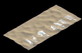
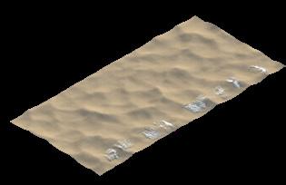
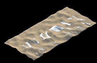
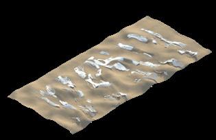
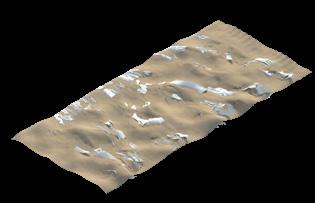
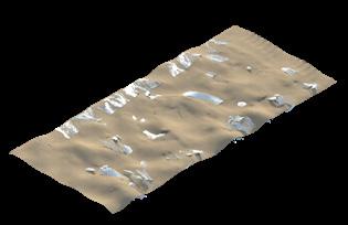
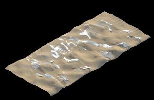
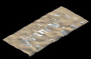
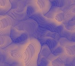
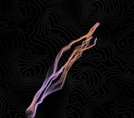
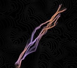
The curvature of the landscape allows for the agent based system to interpolate on the relationship between the printed structure and terrain’s form.
The change in the angle of the slope allows for a differentiation between the dunes and their heights.
Advertisement
The height map influences the agent based system’s collective behaviour using cohesion forces as they travel higher and repulsion forces as they travel lower.
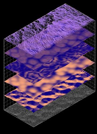
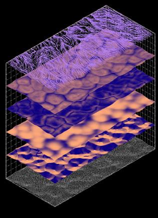
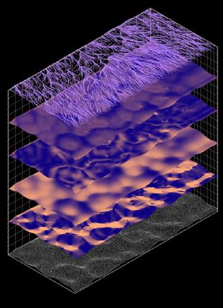
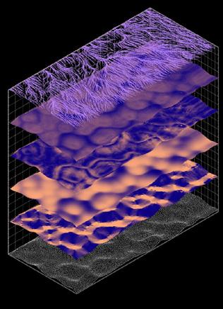
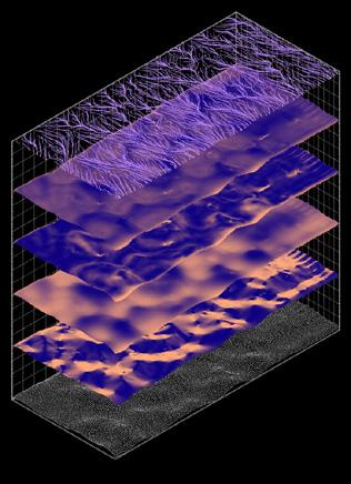
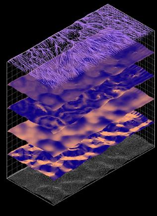
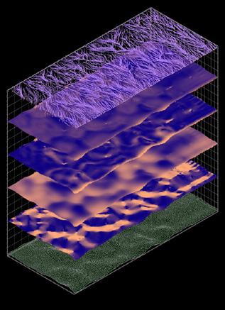
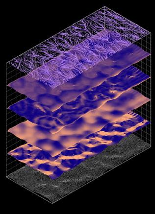
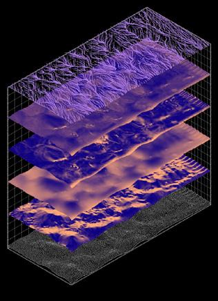
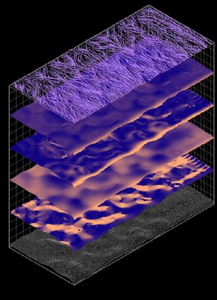
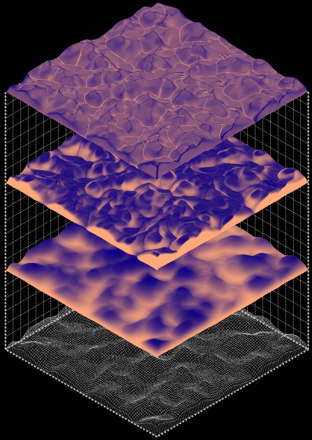
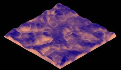
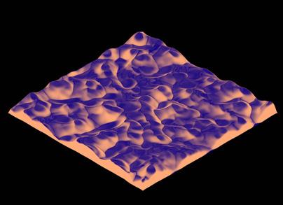
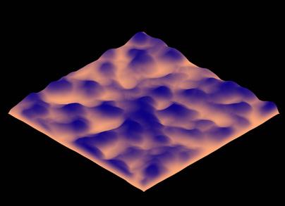
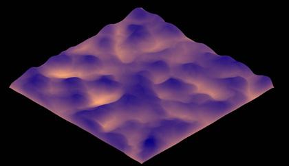
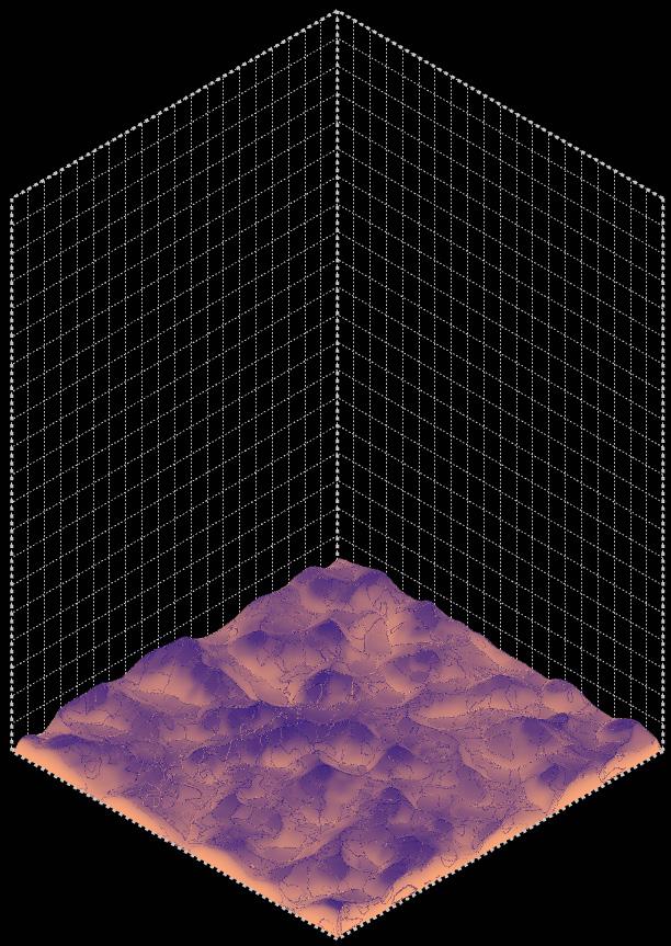
The terrain is analysed to gather key data points that will enable the agent-based system to make autonomous, real-time decisions. These values are translated into a colour map to provide a visualization of how the agents will perform in different areas. Orange areas have lower values and are characterized by stronger agent cohesion behaviour while blue areas have higher values and are characterized by stronger separation behaviour. This helps to optimize and improve the performance of the generated structure. For example, orange areas are denser than blue areas, providing a thicker, more rigid foundation to support the structure.
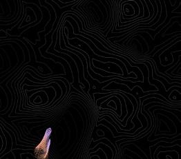
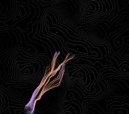
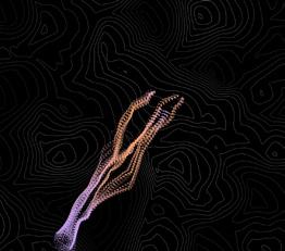
Particle System
AGENT HERD BEHAVIOUR
Density = Height + Curvature
To control how dense the agents couple with one another to form groups and clusters, the data received by layering the height map and the curvature map is utilized, creating a new map that builds a relationship between the agent’s vertical position and the curvature of the area they are traveling on.
Thickness = Slope + Curvature
By layering the slope map and the curvature, the agents are able to decide the thickness of the structure that needs to be fused.
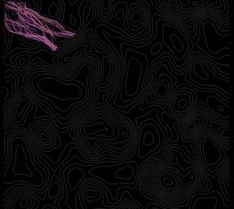
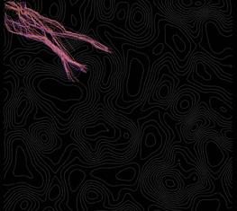
Particle Simulations Utilizing Individual Maps

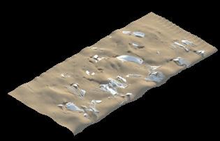
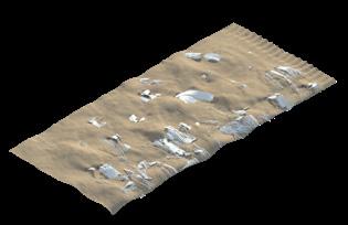
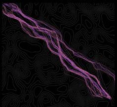
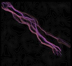
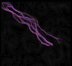
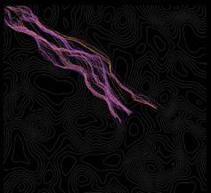
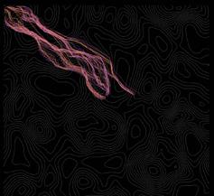
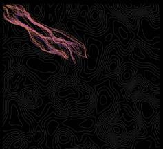
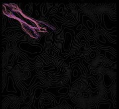
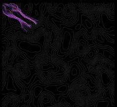
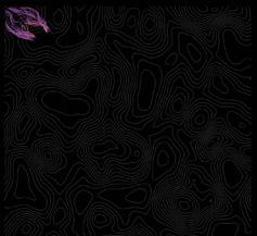
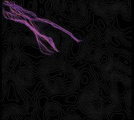
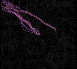
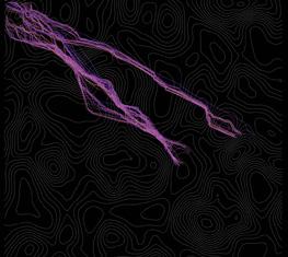
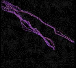
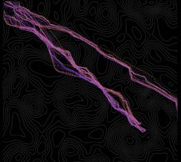
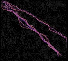
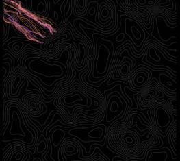
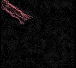
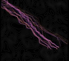
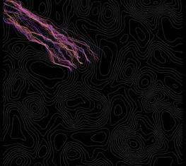
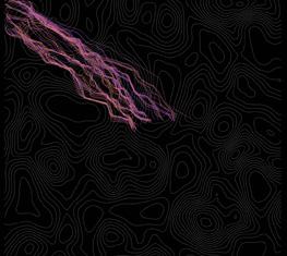
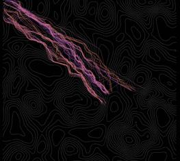
To generate an understanding of how each mapped data influences the agent-based system, the team conducted three simulations using the data from only one map. The frame-by-frame diagrams in this page and the following two pages illustrates these simulations. With the height map, the agents cohesion force decreases as they climb a dune and increases to form a single pack as they descend a dune. With the slope map, the agents are split into smaller groups as they intersect with opposing slopes. And lastly, with the curvature map, the form of the dune and its curvature influences the size and alignment of the herd.


Swarm Behaviour Combining Datasets
Particle Simulations Utilizing the Combination of All Maps

Finally, the combination of the height map, slope map, and curvature adjusts all parameters according to vital properties of dune landscapes. The frame-by-frame simulations illustrates how the agents respond to the landscape as they move across dunes.
Time Aspect
MORPHOLOGY GENERATION AND THE DURATION OF THE GENERATION PROCESS
Terraforming the environment requires careful consideration of time, as the landscape is constantly changing due to the movement of sand particles and the formation of new dunes. For example, star-shaped dunes can migrate up to 100m per year. In order to accurately simulate this dynamic process, the following simulations utilize a swarm of agents to terraform a distance of 1km (500m forward and 500m backward) over a period of 25 days. As time passes, it becomes clear how the particle behaviour begins to change. The analysis of the terrain highlights this, showing the formation of new dunes as they interact with the generated morphology. This creates a machine ecology where a cybernetic relationship exists between the agent population and the desert.