
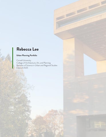
Rebecca Lee
Urban Planning Portfolio
Cornell University College of Architecture, Art, and Planning
Bachelor of Science in Urban and Regional Studies Class of 2025
Cornell University College of Architecture, Art, and Planning
Bachelor of Science in Urban and Regional Studies Class of 2025
Fall 2023
Step 1: Draft by hand while learning about the rapid cycling of ideas, urban design and physical planning as the base for AutoCAD drafting.
Step 2: Export AutoCAD linework into Photoshop, create a beautiful plan rendering in Photoshop.
Software: Autodesk AutoCAD, Adobe Photoshop
Step 3: Construct a 3-Dimensional model of the project site, adding detail to important areas and creating specialty views to be utilized on the final board.
Software: SketchUp
Step 4: Capture the most compelling views in SketchUp bets representing the site’s assets and render in Photoshop.
Software: SketchUp, Adobe Photoshop
Step 5: Introduce site plan in a compelling way, packaged into a one-page spread.
Software: Adobe Illustrator, Adobe InDesign
Welcome to Volo, a hypothetical 22-acre community where sustainability meets modern urban design. Inspired by the famed roundabouts and pedestrian-friendly thoroughfares of Dutch cities, Volo is a testament to harmonious living. Derived from the Latin ‘volō’, meaning ‘to wish’ or ‘to want’, the Volo community embodies the essence of its name—a place designed to fulfill the desires of its residents for a sustainable and pleasurable living experience.
Fall 2023
Introduction: Cornell Design Connect has taken on a project to create a comprehensive plan for the Town of Candor in New York.
Deliverables: Final Review Poster
Software: Adobe InDesign, Adobe Illustrator, Adobe Photoshop
Building on this framework, the activity encouraged students to make personal connections to land and space by mapping their own spatial stories. Using tracing paper over the map, they marked landmarks, labeled them with their significance, and traced familiar routes, answering prompts about their daily routines, Sunday activities, and potential tours they’d give of Brooklyn. The exercise sparked enthusiasm and engagement, with students eagerly sharing their stories and reflecting on the places that hold personal significance in their lives.
Following the students’ personal
sought to connect two distinct layers of
the HPD-related data maps, which
from the
to the neighborhood level, and the personal paths and stories shared by the students, reflecting their interactions with transportation, community, and everyday
in the
Through this comparison, we observed a critical disconnect— data maps, no matter how granular, tend to abstract and erase the individual’s lived experience. This realization guided the next phase of our exploration: developing methods to represent the
The final presentation was held at Tweed Courthouse and brought together students from Medgar Evers College Preparatory School for a science fair-style event. Students rotated between groups, engaging with each team’s proposals and ideas. Our team, **The Regulatory Roots**, set up an interactive installation featuring a sequence of layered maps that visualized data related to land use, demographics, displacement risk, and housing density. These maps served as both a visual tool and a starting point for critical conversations about data representation and its role in urban planning.
We facilitated discussions on the challenges of balancing granular data with the lived experiences of individuals, emphasizing the importance of meaningful community engagement in shaping policy and planning decisions. Students reflected on how their personal narratives and spatial stories intersect with broader urban patterns, sparking ideas about how planners and regulatory agencies like HPD can incorporate qualitative insights into their frameworks. The event provided an opportunity to bridge data-driven approaches with human-centered perspectives, highlighting the need to amplify individual voices within the larger planning and development processes.
Fall 2024
Introduction: Our Cornell NYC Workshop team was tasked by NYC EDC with researching implementations of climate tech for Environmental Justice (EJ) communtiies along the QueensWay.
Deliverables: Mapping Analysis, Intervention Diagrams, Presentation Slides
Software: Adobe InDesign, Adobe Illustrator, Adobe Photoshop, ArcGIS Pro, Microsoft Excel