The Need for Improved Forest Inventories.
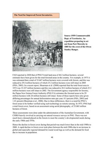
Source 1959 Commonwealth Dept. of Territories. An expedition preparing to set out from Port Moresby in 1885 for the crest of the Owen Stanley Ranges.
FAO reported in 2020 that of PNG’S total land area of 46.2 million hectares, several estimates have been given for the total forested areas in the country. For example, in 1975 it was estimated that a total of 33.667 million hectares were covered with forests, and this was reduced to 29.4 million hectares of which 25.2 million hectares were still intact in 2005 (FRA, 2005). In a recent report, Shearman et al. (2008) reported that the total forest area in 1972 was 33.227 million hectares and this was reduced to 28.2 million hectares of which 25.3 million hectares were still intact in 2002. The Government agency responsible for forestry, the Papua New Guinea Forest Authority (PNG FA) estimates the forested areas to be 29 million hectares with 24 million hectares still intact. Some of these reports have also given differing percentages for annual deforestation rates per year; 0.5 percent (FRA, 2005) and 1.41 percent (Shearman et al., 2008). Due to these differences, there is a need for PNG’s forest areas to be further verified using such technology as remote sensing. In 1975, PNG had a total forest cover, based on an assessment using aerial photography, of 33.065 million hectares of forest. These assessments were done under the administration of the Australian Government, with CSIRO heavily involved in carrying out natural resource surveys in PNG. There was not much heavy demand placed on the forests to meet the country’s developmental needs during the early 1960s and 1970s. Hence the decline in forest cover during that period was much lower than in the mid-1980s to 2000. A rapid decline in forest cover took place between the mid-1980s due to an increase in global and especially regional demand for round wood logs as well as the demand for food due to increase in population. 48


