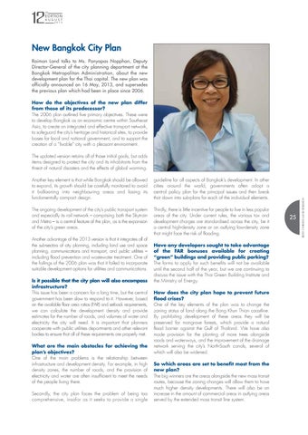
New Bangkok City Plan Raimon Land talks to Ms. Panyapas Nopphan, Deputy Director-General of the city planning department at the Bangkok Metropolitan Administration, about the new development plan for the Thai capital. The new plan was officially announced on 16 May, 2013, and supersedes the previous plan which had been in place since 2006. How do the objectives of the new plan differ from those of its predecessor? The 2006 plan outlined five primary objectives. These were to develop Bangkok as an economic centre within Southeast Asia, to create an integrated and effective transport network, to safeguard the city’s heritage and historical sites, to provide bases for local and national government, and to support the creation of a “livable” city with a pleasant environment.
Another key element is that while Bangkok should be allowed to expand, its growth should be carefully monitored to avoid it ballooning into neighbouring areas and losing its fundamentally compact design.
guideline for all aspects of Bangkok’s development. In other cities around the world, governments often adopt a central policy plan for the principal issues and then break that down into sub-plans for each of the individual elements.
The ongoing development of the city’s public transport system and especially its rail network – comprising both the Skytrain and Metro – is a central feature of the plan, as is the expansion of the city’s green areas.
Thirdly, there is little incentive for people to live in less popular areas of the city. Under current rules, the various tax and development charges are standardised across the city, be it a central high-density zone or an outlying low-density zone that might face the risk of flooding.
Another advantage of the 2013 version is that it integrates all of the sub-sectors of city planning, including land use and space planning, communications and transport, and public utilities – including flood prevention and wastewater treatment. One of the failings of the 2006 plan was that it failed to incorporate suitable development options for utilities and communications. Is it possible that the city plan will also encompass infrastructure? This issue has been a concern for a long time, but the central government has been slow to respond to it. However, based on the available floor area ratios (FAR) and setback requirements, we can calculate the development density and provide estimates for the number of roads, and volumes of water and electricity the city will need. It is important that planners cooperate with public utilities departments and other relevant bodies to ensure that all of these requirements are properly met. What are the main obstacles for achieving the plan’s objectives? One of the main problems is the relationship between infrastructure and development density. For example, in high density zones, the number of roads, and the provision of electricity and water are often insufficient to meet the needs of the people living there. Secondly, the city plan faces the problem of being too comprehensive, insofar as it seeks to provide a single
Have any developers sought to take advantage of the FAR bonuses available for creating “green” buildings and providing public parking? The forms to apply for such benefits will not be available until the second half of the year, but we are continuing to discuss the issue with the Thai Green Building Institute and the Ministry of Energy. How does the city plan hope to prevent future flood crises? One of the key elements of the plan was to change the zoning status of land along the Bang Khun Thian coastline. By prohibiting development of these areas they will be preserved for mangrove forests, which provide a natural flood barrier against the Gulf of Thailand. We have also made provision for the planting of more trees alongside roads and waterways, and the improvement of the drainage network serving the city’s North-South canals, several of which will also be widened. So which areas are set to benefit most from the new plan? The big winners are the areas alongside the new mass transit routes, because the zoning changes will allow them to have much higher density developments. There will also be an increase in the amount of commercial areas in outlying areas served by the extended mass transit line system.
25
©2013 RAIMON LAND RESEARCH
The updated version retains all of those initial goals, but adds items designed to protect the city and its inhabitants from the threat of natural disasters and the effects of global warming.


