NEWS
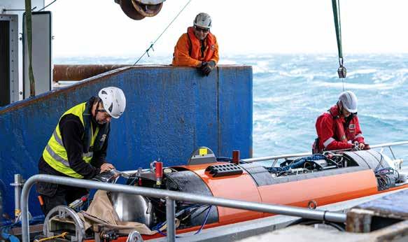
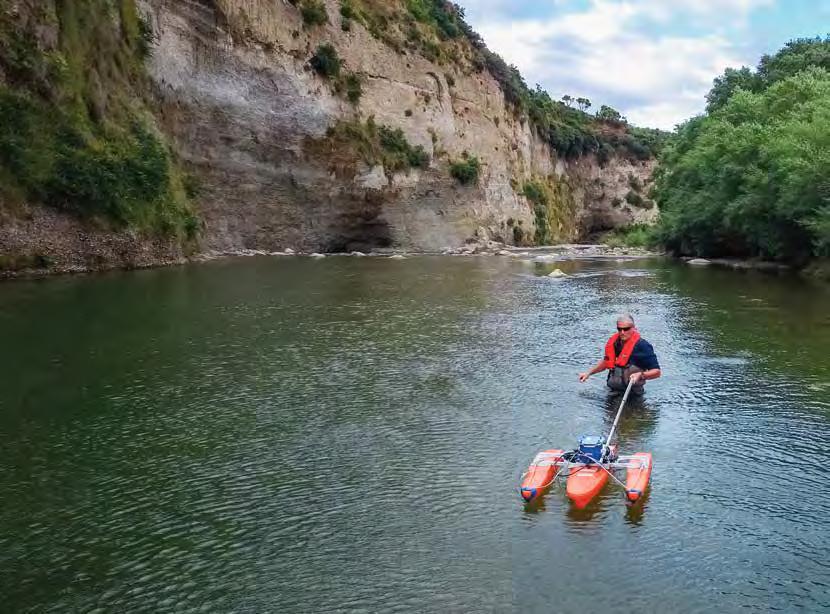
Norse goddess reveals seabed secrets A large, orange Scandinavian robot gives NIWA’s marine geologists an in-depth look at changes to the seafloor off Kaikōura. The 2016 earthquake left an all-too-visible trail of destruction across Kaikōura’s landscape. Buildings were shattered, road and rail links severed, and massive scars cut across hillsides and coastal terraces alike. What wasn’t so immediately obvious was the impact the 7.8 magnitude quake had on the deep underwater canyon just hundreds of metres off the coast. Dr Joshu Mountjoy, voyage leader, on board Tangaroa. (Lana Young)
The Kaikōura Canyon starts less than a kilometre out from land, as the seabed plunges to depths of more than 600m, and eventually to 2000m, creating a formation of channels and ravines which fan 60km out into the Pacific Ocean. Cold currents rising from the deep bring nutrient-rich waters into the canyon system, helping to create a uniquely productive habitat nourishing organisms ranging from small seafloor invertebrates through to the region’s iconic dolphins and whales. Marine geoscientist Dr Joshu Mountjoy describes the canyon as the bridge between the land and the ocean, connecting sedimentary systems, capturing carbon and supporting rich ecosystems.
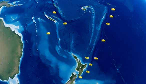
Multibeam seabed surveys carried out by NIWA’s research vessels Tangaroa and Ikatere after the 2016 quake revealed dramatic changes. Huge amounts of mud and sediment, estimated at 850 million tonnes, were shaken from the canyon rim, flowing down the underwater channels and out into the Pacific. This massive submarine sediment flow, tracked at least 700km to the north, instantly turned the canyon floor from a biodiversity hotspot full of marine life into a barren, almost uninhabited seascape. Late last year Mountjoy led another team of researchers back to the waters off the Kaikōura coast aboard Tangaroa. “We were interested in understanding the physical process that had removed such a huge amount of sediment and rock from the canyon. It was also a chance to establish how the ecosystems were recovering after such a major event, and measure the amount of sediment re-entering the canyon,” Mountjoy says. “Although we had done surveys before, we now needed a way to capture the extent of the postearthquake changes at a much higher resolution.”
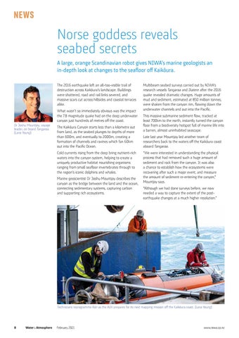
Technicians reprogramme Rán as the AUV prepares for its next mapping mission off the Kaikōura coast. (Lana Young)
8 Water & Atmosphere
February 2021
www.niwa.co.nz