July 22nd, 2025

July 22nd, 2025


The Consultant Team would like to thank Moline, The Quad Cities, and the community for their active involvement in the Moline River Front + Centre Master Plan-related efforts, including the public workshops, stakeholder interviews, task force meetings and all those who participated in the on-line surveys. In addition, we would like to recognize and thank the following individuals for their support, direction, and guidance throughout the planning process to develop the Moline River Front + Centre Plan. We welcome you to remain actively engaged to see this vision come to fruition:
Sangeetha Rayapati, Mayor of Moline
Debbie Murphy, 1st Ward
Alvaro Macias, 2nd Ward
Abdur Razzaque, 3rd Ward
Matt Timion, 4th Ward
Jessica Finch, 5th Ward
Daniel McNeil, 6th Ward
Anna Castro, 7th Ward
James Patrick Schmidt, Alderperson-at-Large
Bob Vitas, City of Moline City Administrator
Chris Mathias, AICP, City of Moline Community Development Director
Jennifer Bizarri, City of Moline Assistant Director of Economic Development
Christopher Parr, City of Moline Economic Development Manager
Eric Griffith, CPRP, City of Moline Director of Parks & Recreation
Alexandra Elias, AICP, Renew Moline President & CEO


The City of Moline is built on the unceded lands of Indigenous peoples. Before colonization and settlement by Europeans, the place we know as Moline was home to the Sauk and Meskwaki tribes – and many other tribes resided on, gathered in, or migrated through this land for generations. Acknowledging this history, we strive to inform our present work in pursuit of responsible stewardship of this land.


Crafting a unified vision for a dynamic, beloved riverfront in the heart of downtown Moline.
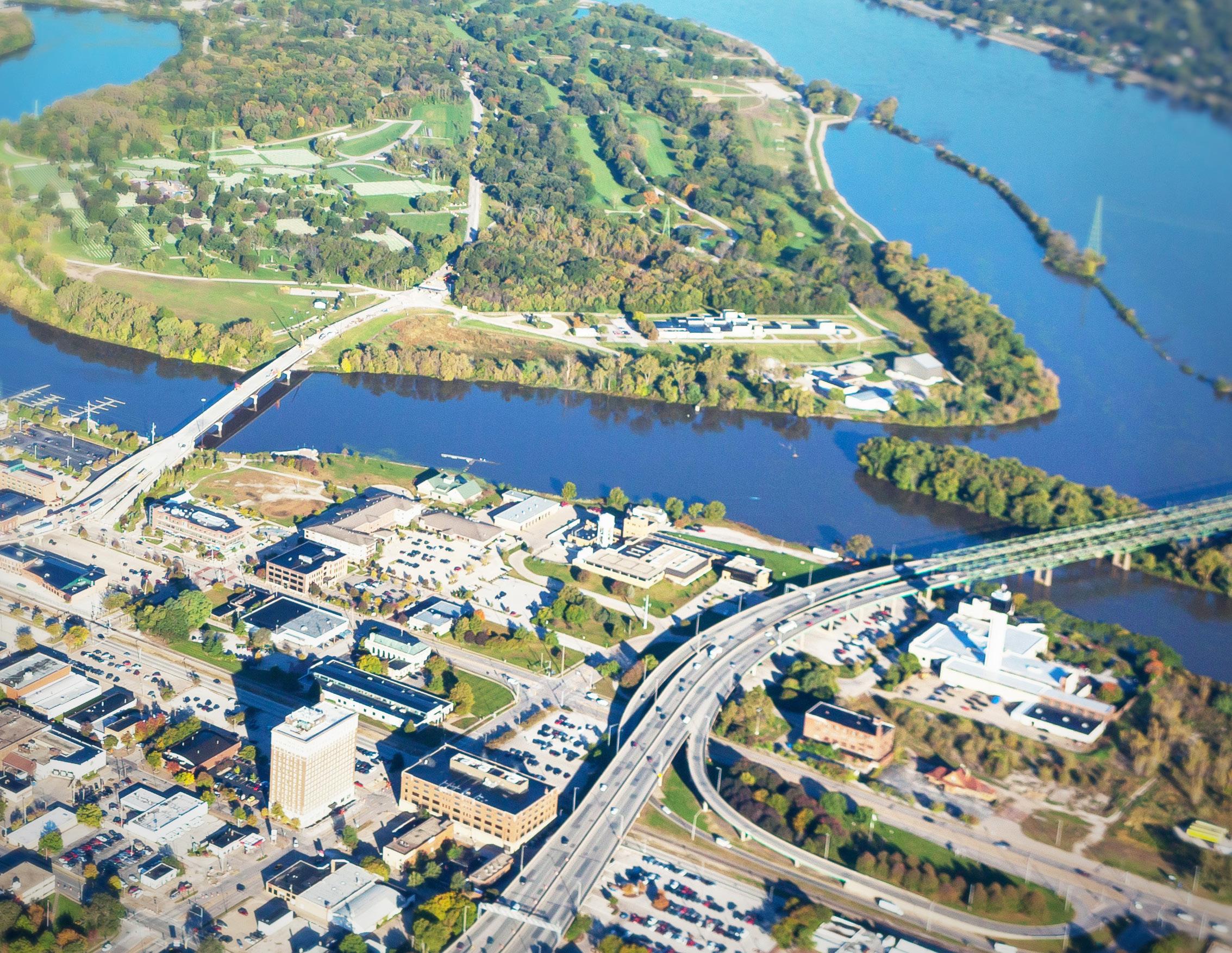
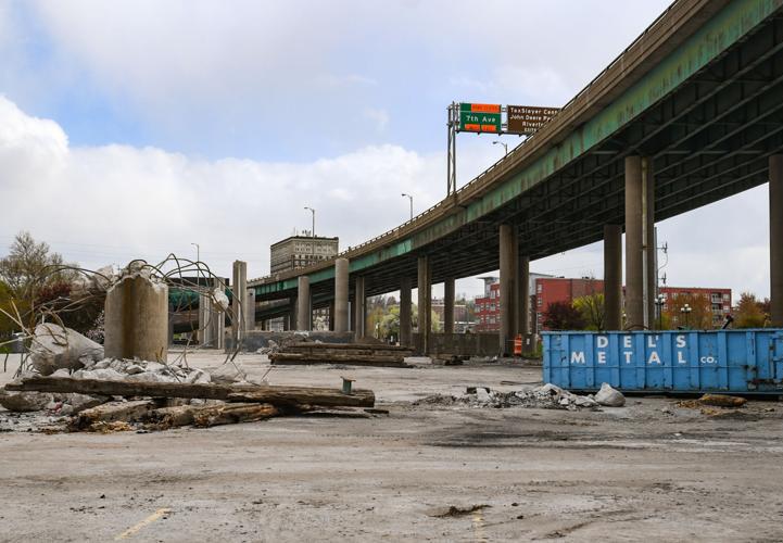
In 2021, the I-74 bridge, that spans the Mississippi River to connect Illinois and Iowa, was constructed east of the existing structure and opened to motorists. Over the next two years, the original bridge was carefully deconstructed, leaving behind a series of remnant parcels along the river’s edge. The City of Moline acquired this newly available land with a bold vision: to transform the sites into a vibrant riverfront district that serves the entire community.
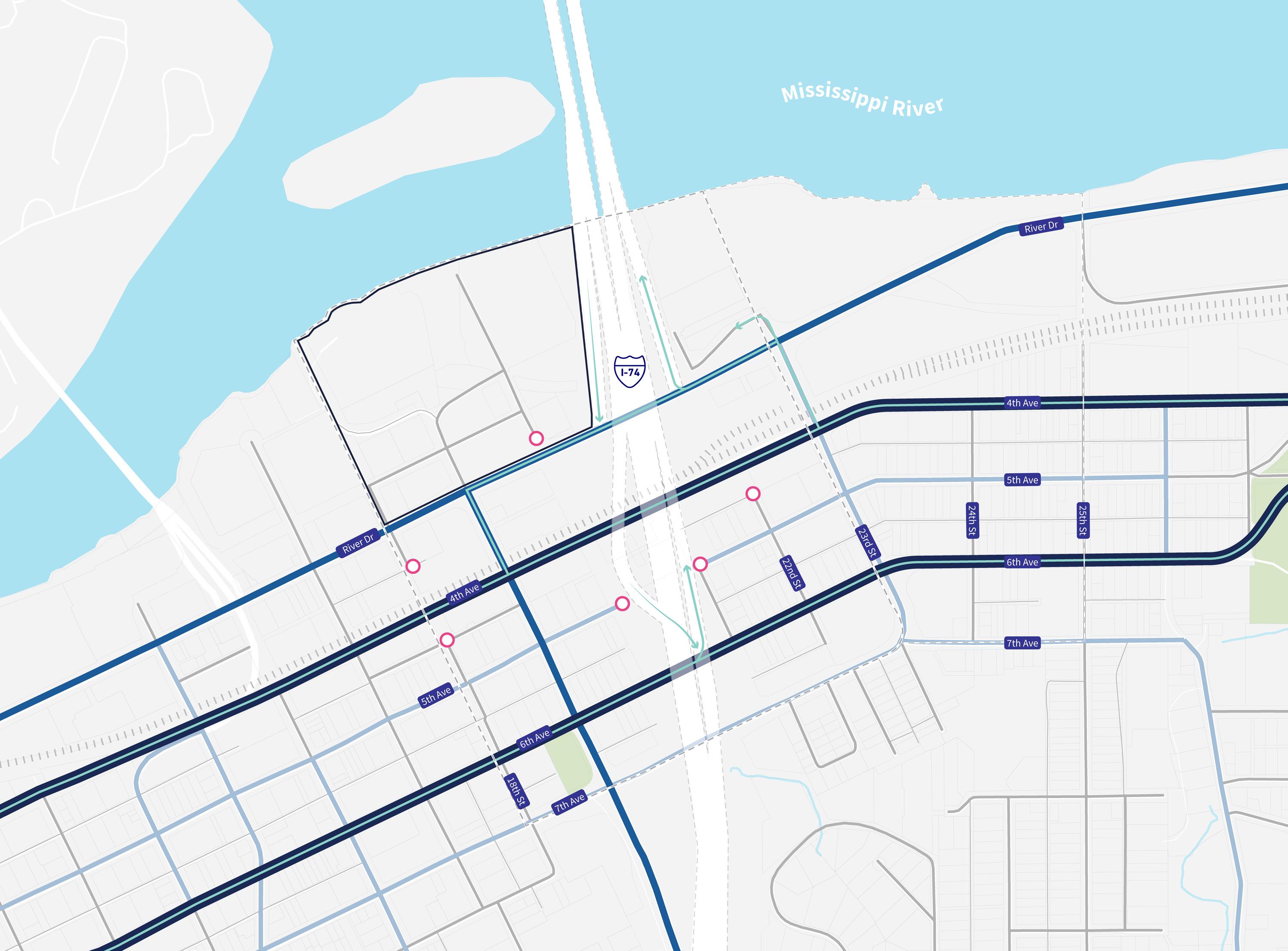
This land, referred to in this plan as the Riverfront Study Area, is bounded by the Mississippi River, I-74, River Drive, and 18th Street. The Primary Study Area extends from the Mississippi River south to 7th Avenue and from 18th Street to 23rd Street. Its central location provides a critical opportunity to strengthen connections to adjacent neighborhoods and improve linkages across downtown. The Secondary Study Area expands eastward to explore how nearby parks and neighborhoods can better connect to the riverfront experience.
This Master Plan outlines a clear, actionable path to redevelop this area into an iconic and inclusive destination. It is designed to serve as a catalyst for long-term economic growth, environmental stewardship, and community pride for Moline and the wider Quad Cities region.

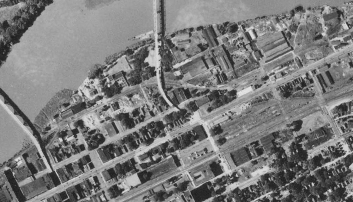
The prior I-74 bridge alignment serpentined through downtown, leaving large swaths of Moline’s riverfront disconnected from the commercial and cultural heart of the community.
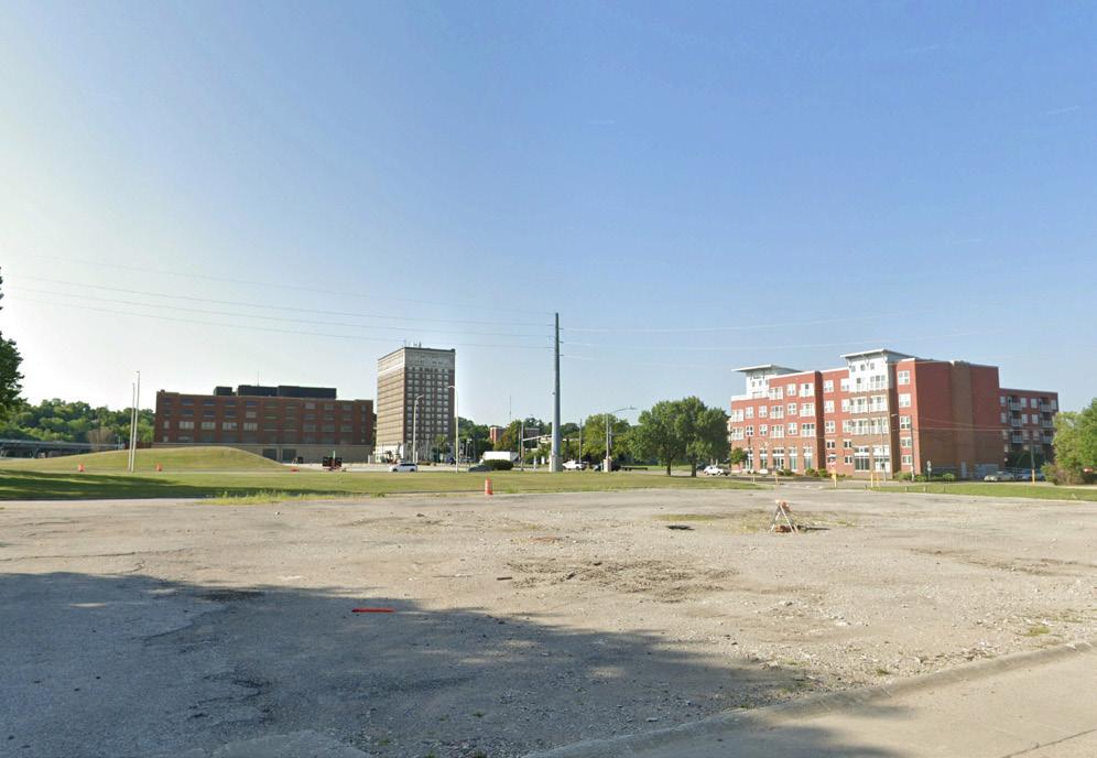
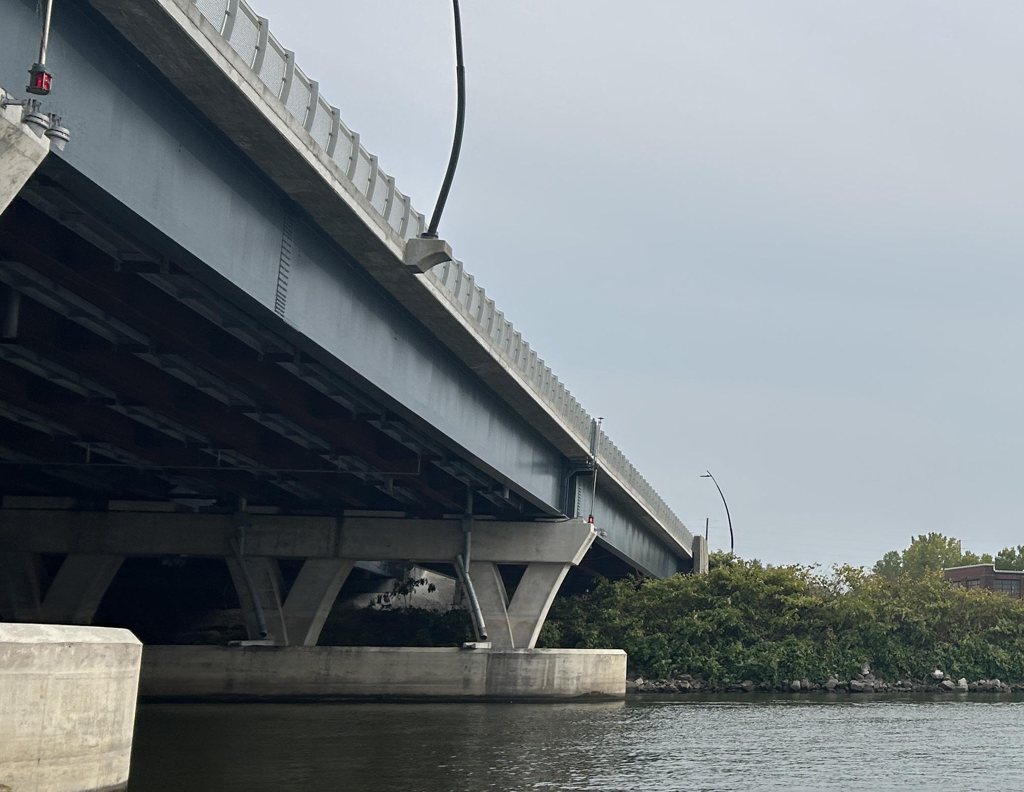
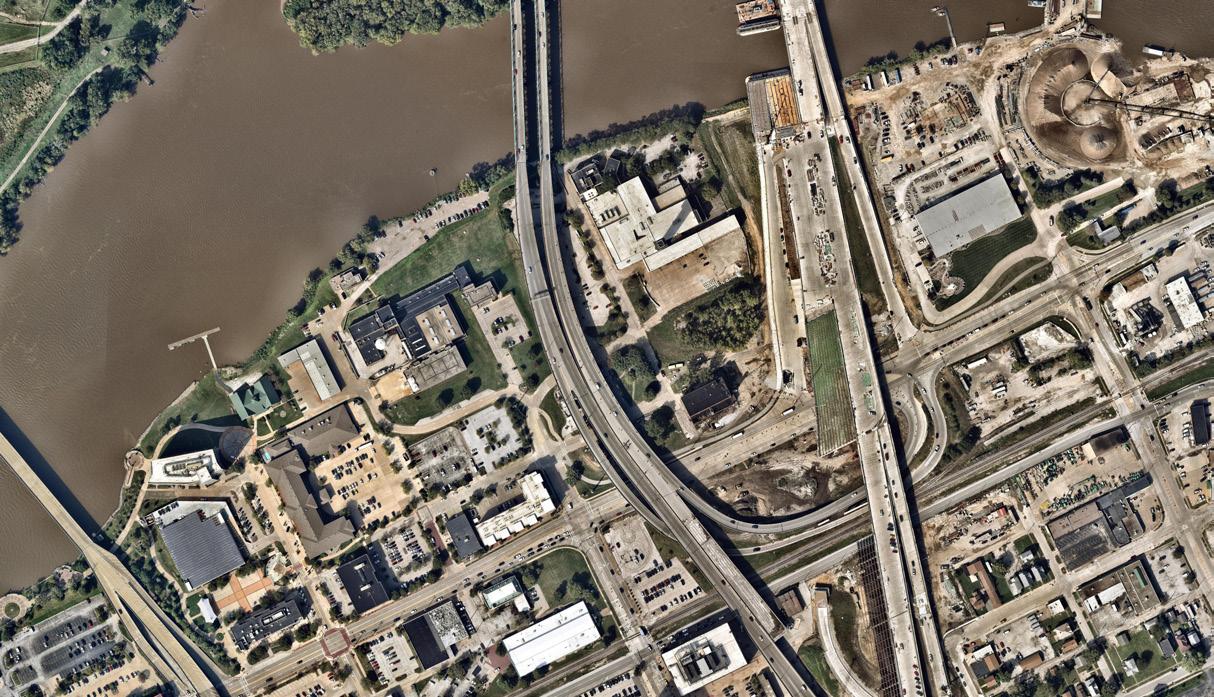
The new I-74 bridge alignment removed the kinks, creating new, seamless connections to developable land on the banks of the Mississippi River, and improved connectivity to downtown.


Building on a strong foundation.
The Moline River Front + Centre Plan builds on more than a decade of planning and investment. The City of Moline has taken a proactive approach to shaping its future, with numerous plans and studies focused on transportation, zoning, land use, the arts, and more, all influencing the current vision for the downtown riverfront.
The planning process for this effort was broken into four key phases:
• Task 1: Discover | Project Assessment, Organization, & Information Collection
• Task 2: Engage | Community Engagement & Stakeholder Input
• Task 3: Develop | Plan Development, Outcomes, and Drafting of the Moline River Front + Centre Master Plan
• Task 4: Deliver | Final Plan Publication, Enabling Documents, and Adoption
This phased approach allowed the planning team to ground the work in local priorities, build on previous efforts, and align a wide range of stakeholders around a common vision.
COMMUNITY NEEDS + DESIRES PRIOR PLANNING STUDIES
DEEPER ANALYSIS MARKET DEMANDS + OPPORTUNITIES
COMMUNITY BUILDING



Shaping place through community voices.
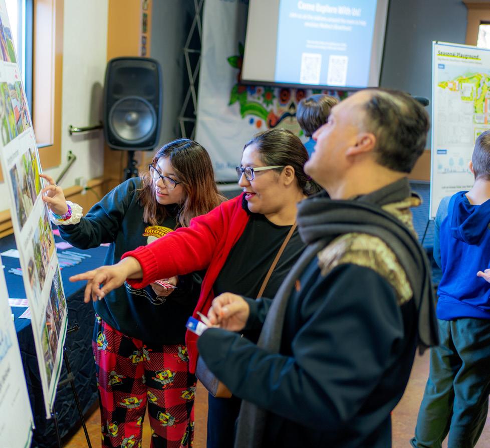
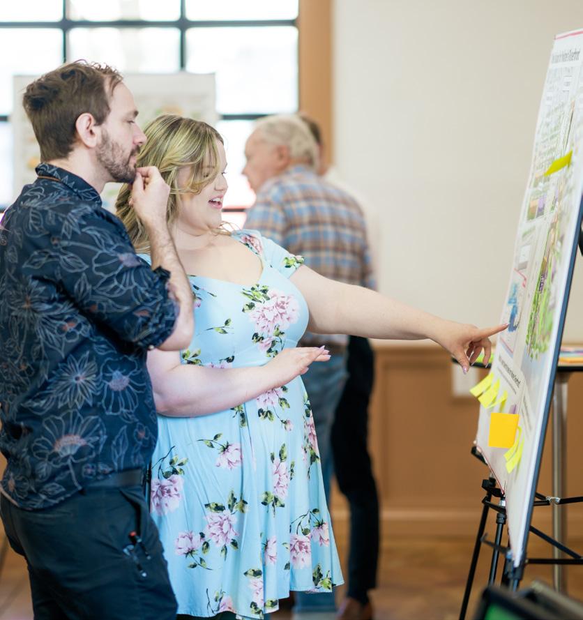
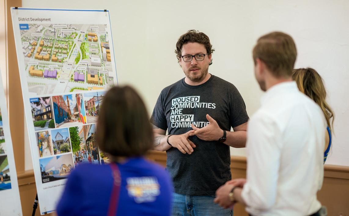
Community engagement was at the heart of the Moline River Front + Centre Plan. A robust, inclusive outreach strategy was developed to ensure diverse and meaningful participation. Over two thousand residents, business owners, and stakeholders contributed their voices to the planning process through a combination of:
• Online surveys and project website updates
• Public open houses and pop-up events
• Creative, family-friendly engagement events such as “Fall Fest”, the Valentine’s Day “Love the River” celebration, and the “Take Me to the River” workshop.
These events were designed to be fun, accessible, and meaningful, offering residents a variety of ways to share their ideas, hopes, and concerns. The result is a collective master plan vision grounded in community values and aspirations.
The Moline River Front + Centre Plan was a collaborative process that included:
260+
People Engaged Over 3 Community Meetings
110+
People Engaged at Community Pop-ups
10
Stakeholder Focus Group Meetings
3
Task Force Meetings
2,080 Responses Received Across 3 Online Surveys
5,500+
Project Website Views By 3,300+ Unique Visitors

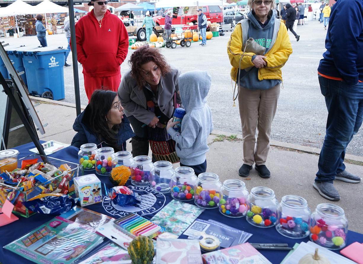

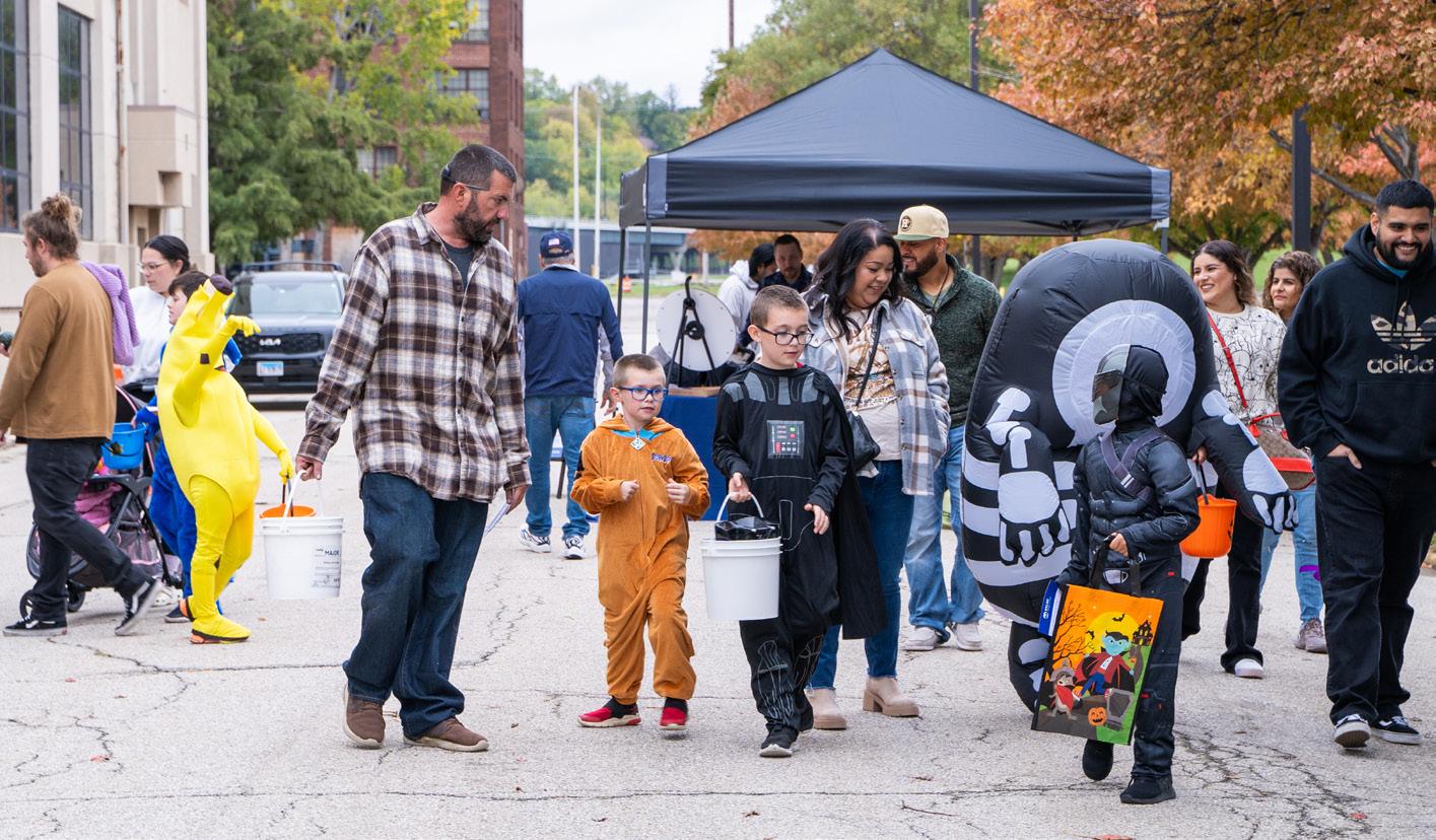


Love the River Celebration | Mercado on 5th | Saturday 02/10/2024



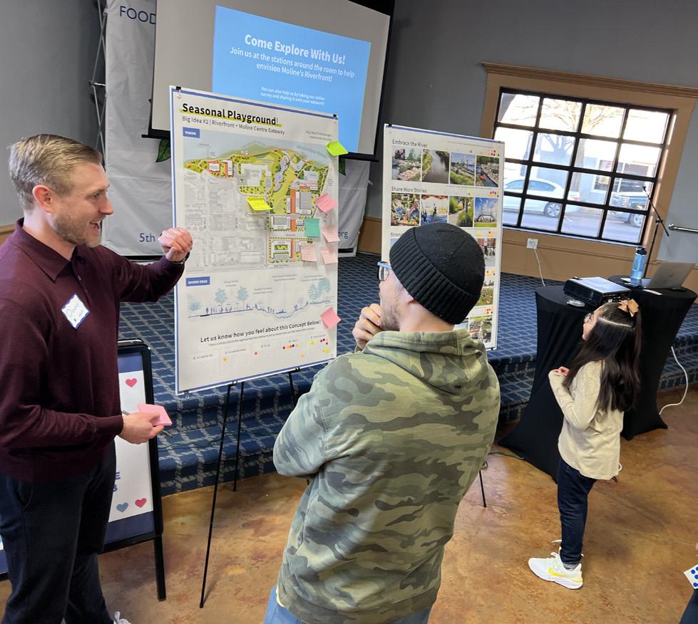


Take Me to the River Workshop | Mercado on 5th | Saturday 05/11/2024





Several clear themes began to emerge during the community engagement efforts of the Moline River Front + Center planning process. Clearly identifying and categorizing these themes led to a series of prompts and priorities to guide the planning process. The prompt “How might we…” was used as a starting point to spark curiosity and drive discussion around a broad range of topics pertaining to the history and future of the study area. Ultimately, this exercise narrowed the priorities of these conversations into the following five prompts:
How Might We… Embrace the River?
… Share more Stories?
… Strengthen Connections?
… Cultivate Community?
… Create the Spark?
These questions then acted as guideposts prompting specific community feedback and linking that input directly back to the planning process.
might we...
The Mississippi River is one of the most iconic and ecologically significant waterways in the world.
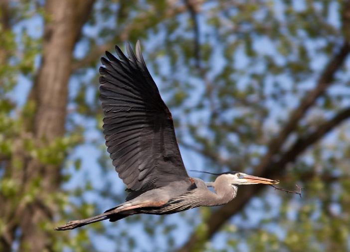
It has sustained life, shaped cultures, and inspired communities for generations. Along its banks, including the Sylvan Slough in Moline, a rich mosaic of ecosystems supports thousands of plant and animal species and serves as a vital corridor for over 325 migratory bird species.
Planning Priorities:
• Strengthen Moline’s relationship with the river by expanding public access and crafting meaningful, memorable experiences along the waterfront.
• Design with the river to foster a resilient, adaptive riverfront district that thoughtfully integrates flood mitigation strategies
• Create inclusive public spaces that celebrate community, culture, and connection through shared moments on the river.
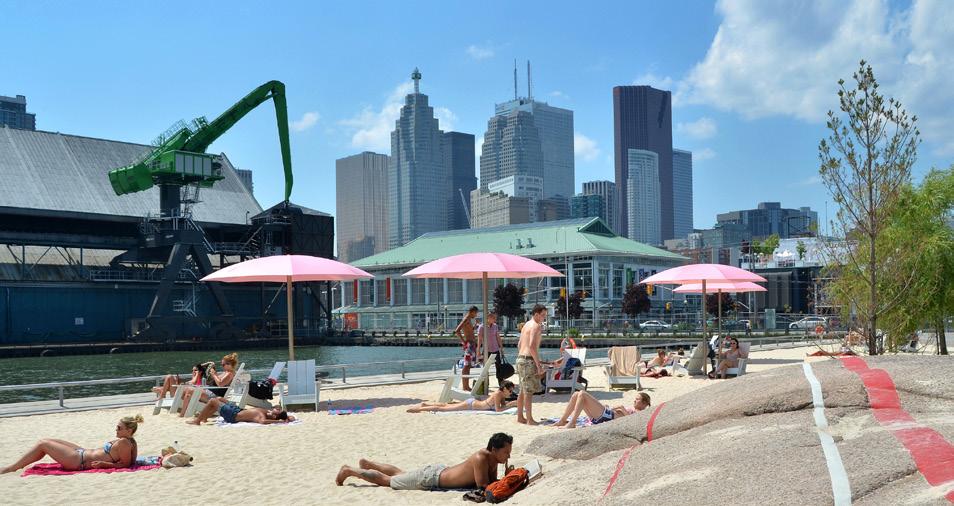
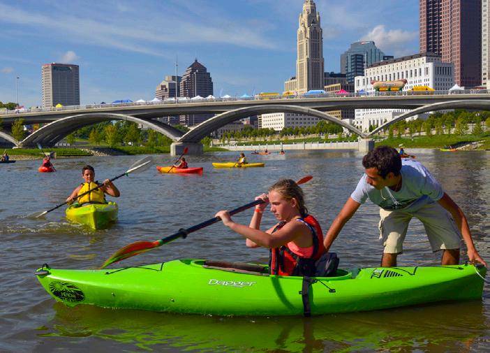
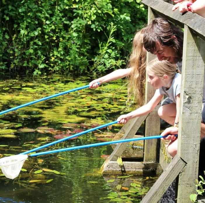
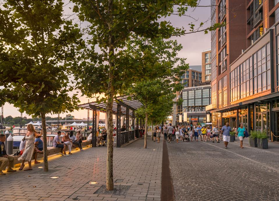

431
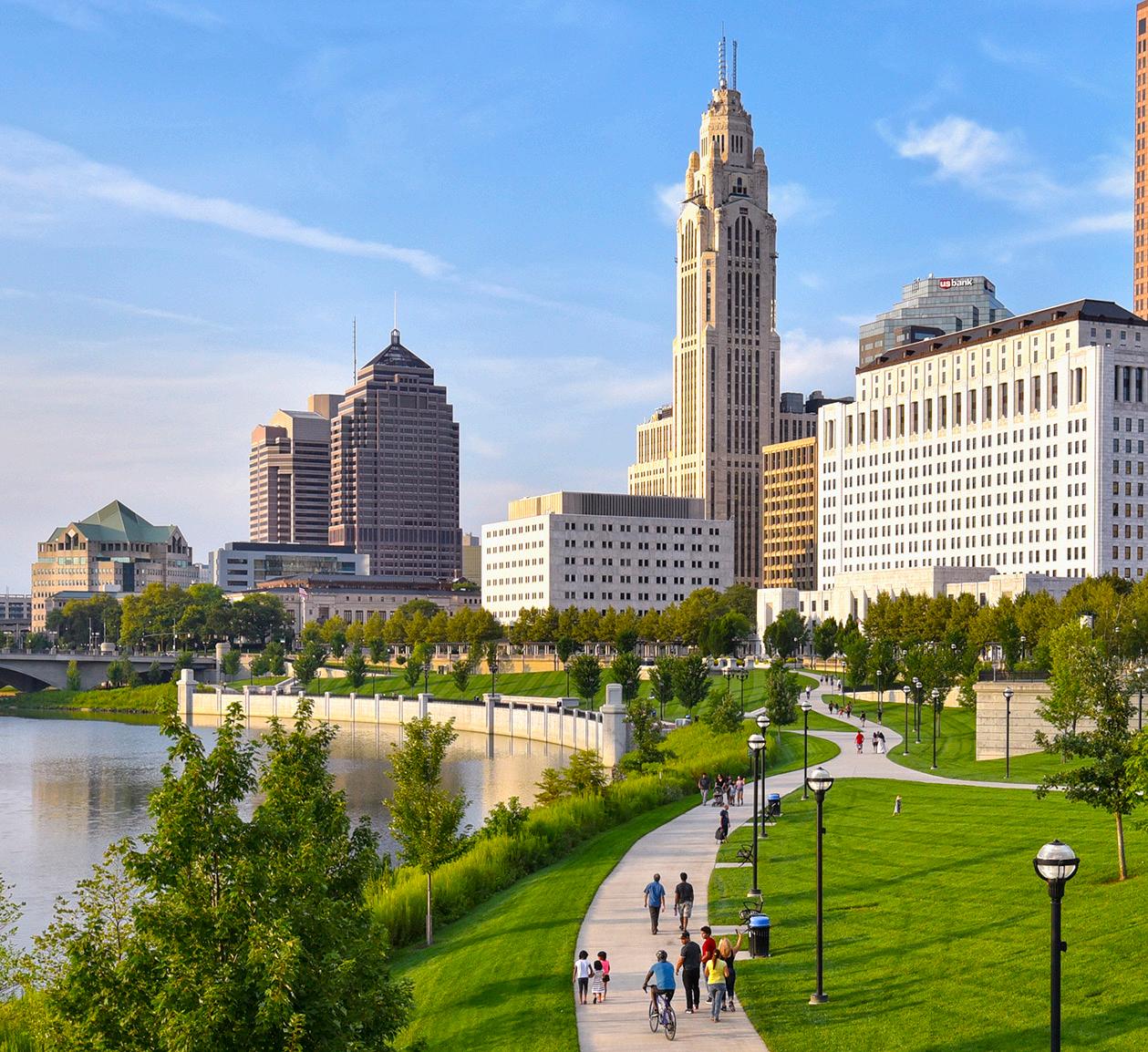
Community members voted they wanted to Experience Nature on the Riverfront
“Theri
“Itallowsmeandmychild

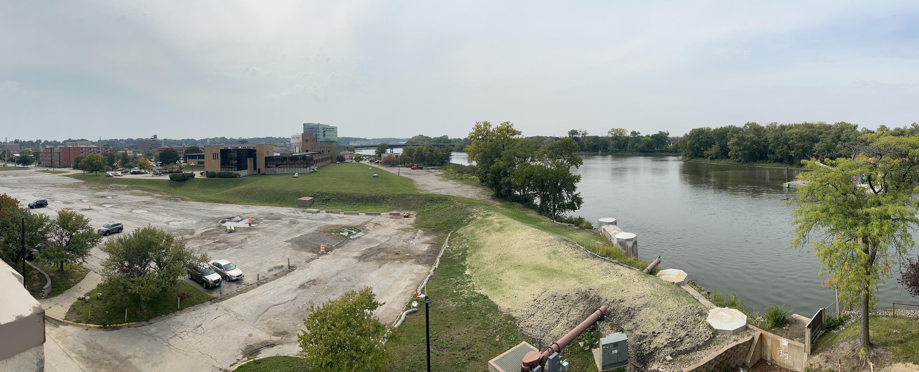
Flooding along the Mississippi River is becoming more frequent and severe. In the last five years there have been four flood events near or exceeding FEMA’s 50-year flood level. The 2019 flood reached the highest recorded level at Lock & Dam No. 15, downstream from the Riverfront Study Area.
To design a riverfront that embraces, rather than resists the Mississippi, the plan must prioritize a resilient, sustainable infrastructure. Flooding poses a significant constraint on all forms of development, making stormwater management central to every design decision. The following strategies support long-term resilience:
• Elevate development pads at least one foot above 100-year floodplain elevation.
• Use environmental site design that thrives under periodic flooding.
• Stabilize riverbanks with native, naturalized planting to reduce erosion.
• Integrate best management practices (BMP) for on-site stormwater management.
• Promote sustainable landscapes that harvest and reuse rainwater.
• Educate the public about flooding, stormwater, and how personal choices can contribute to resilience.

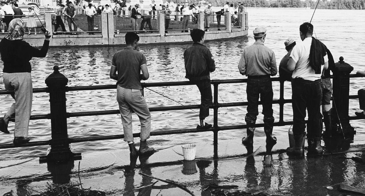


Access to the Mississippi must be equitable, intuitive, and inviting. The Sylvan Slough offers unique opportunities to interact with the river in calmer waters, making this particular section of the river an essential asset for recreation, education, and exploration.
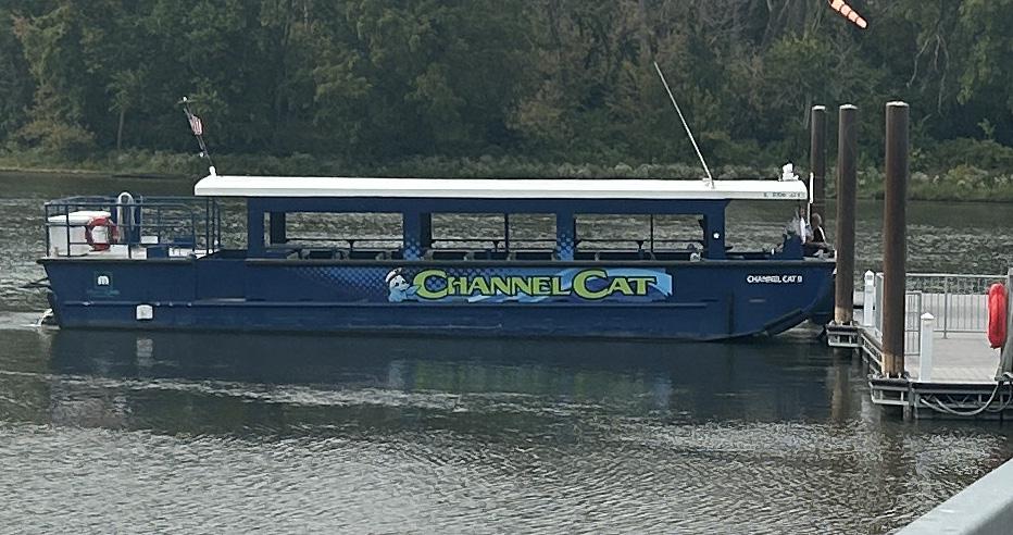
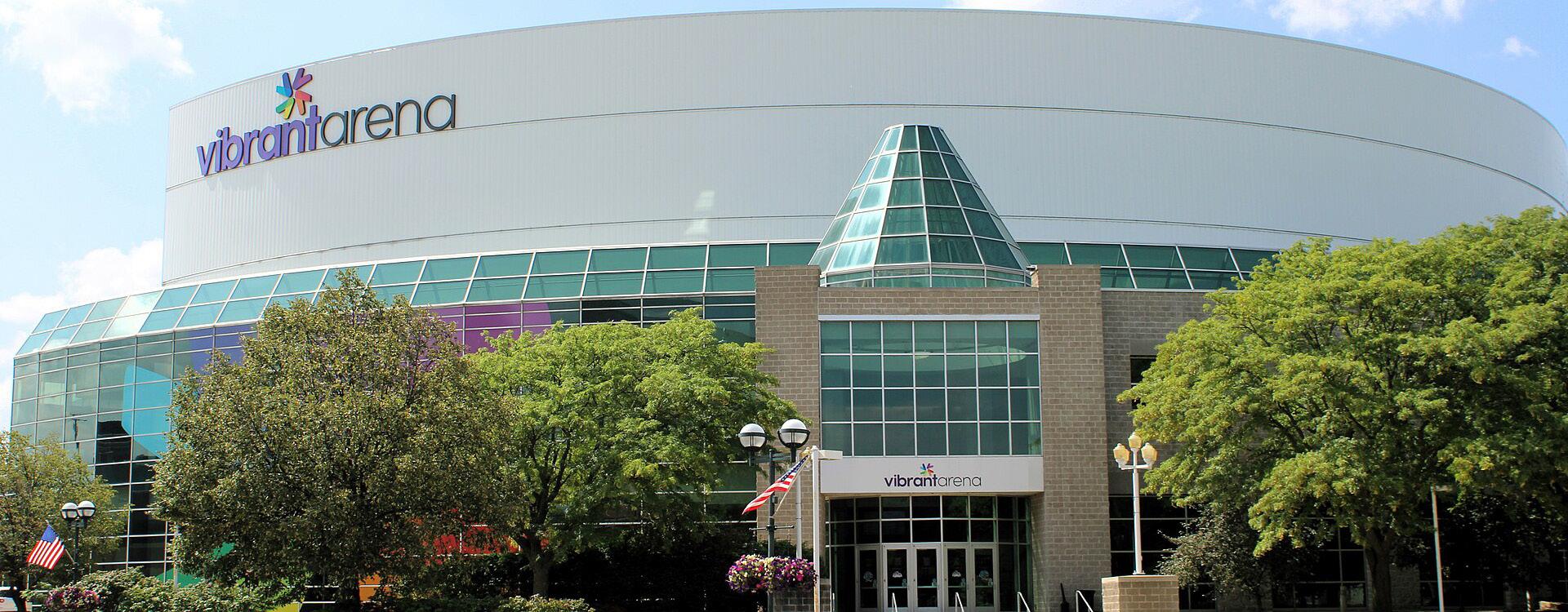
Current riverfront access points near the Riverfront Study Area are limited and fragmented. Within a one-mile radius, there are three primary docks: one for the Channel Cat Water Taxi, one for Celebration Belle River Cruises, and one for the Bass Street YMCA & Sylvan Boathouse. While the Great River Trail provides a scenic connection to Moline Centre destinations, like the Vibrant Arena, it sits nearly a quarter mile from the water’s edge in some sections – limiting consistent engagement by foot or bike.
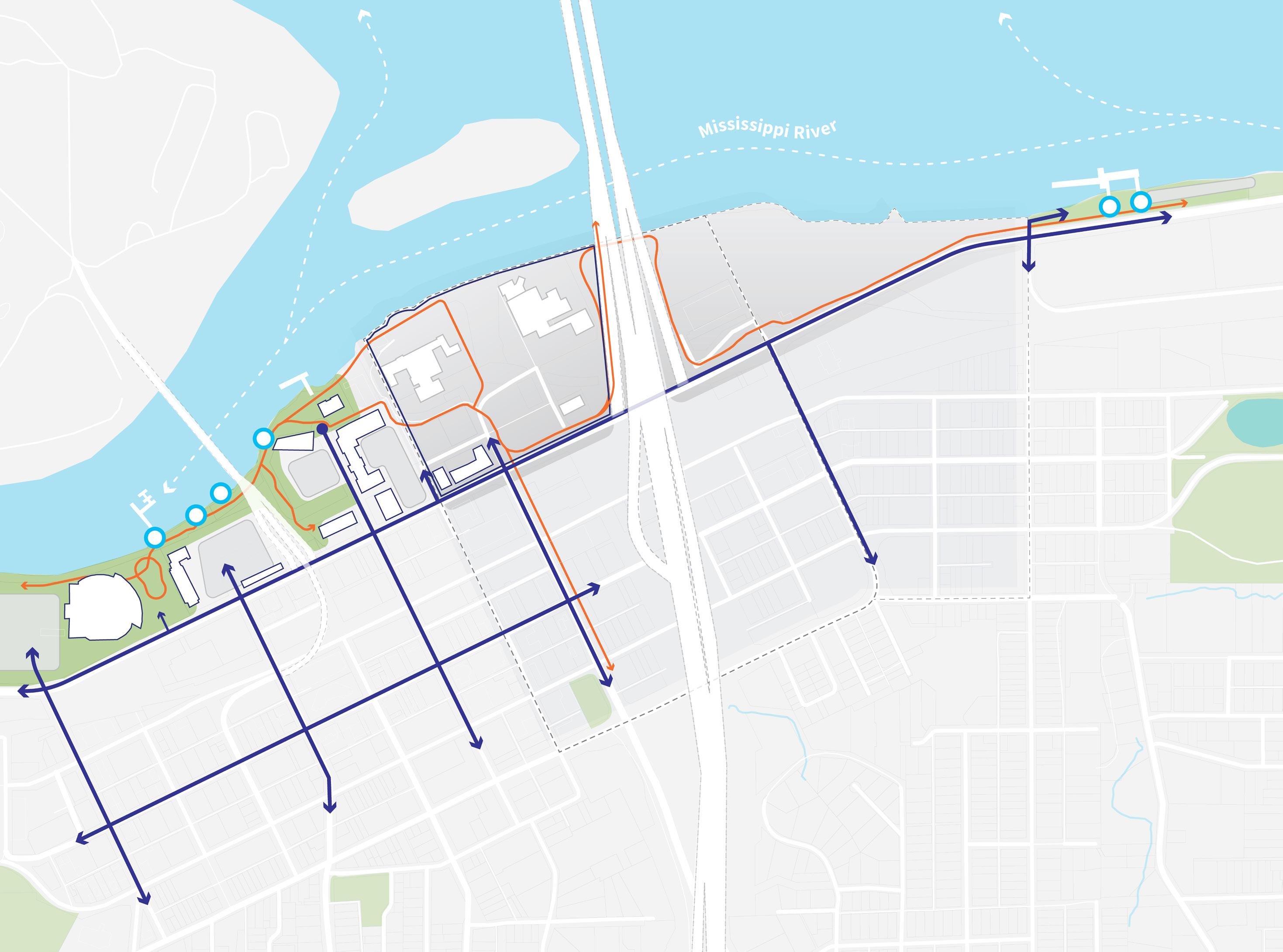
A stronger, more connected network of trails, overlooks, and river access points are needed to encourage more frequent and meaningful interaction with the river.
Existing Great River Trail Key Vehicular Legend River Access


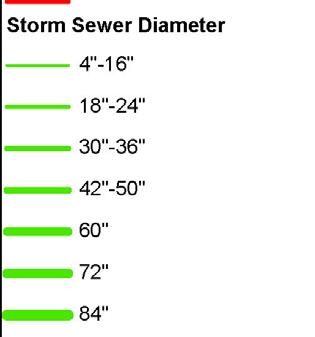
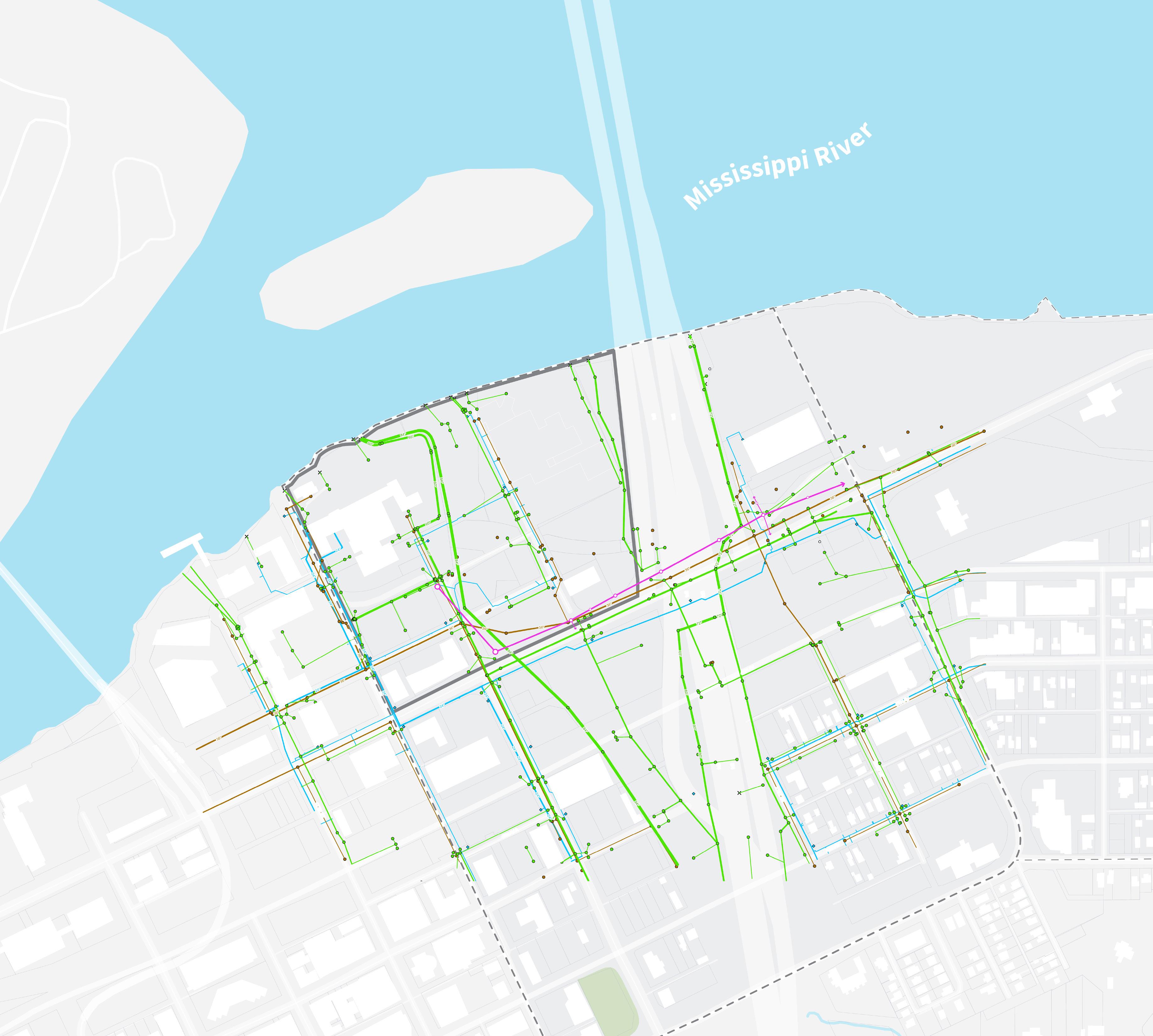
Beneath the surface lies a complex network of infrastructure critical to the riverfront’s functionality. This includes storm sewers, sanitary sewer lines, water mains, and overhead electrical lines, much of it aligned with the former I-74 bridge and existing road network.
Key considerations for future development include:
• Existing utilities on site have sufficient capacity to provide potable water and sanitary sewer services for the area.
• Two major storm trunk sewers run through the site: an 84” line aligned with the former I-74 bridge, and a 60” line along 19th Street. Both service tributary boundaries beyond the Riverfront Study Area and discharge into the Mississippi River.
• A 36” sanitary sewer line bisects the block north of River Drive between 19th and 20th Streets.
• Overhead transmission lines along River Drive and 19th Street pose visual and spatial challenges for future development.
• Utility relocation would be challenging due to the acceptable condition of the existing infrastructure noted above and the presence of shallow bedrock (observed as close as 7 feet below the surface).
Utility coordination will be essential to minimize disruption and support cohesive site planning.



Riverfront Study Area
Approximate Location of Overhead Transmission Line
Primary Study Area
Secondary Study Area
Downtown Moline
The Environmental Protection Agency (EPA) classifies Moline’s riverfront within the Upper Mississippi Alluvial Plain, an ecoregion defined by broad floodplains and low terraces stretching north of the Missouri River confluence. Historically, this landscape supported floodplain forests, tallgrass prairies, and marshes.
Today, many of the native landscapes in the area have been replaced by agriculture and urban development. However, the region still offers natural advantages for cities like Moline that have grown around riverfront industry. Despite flooding risks, the Riverfront Study Area provides unique opportunities for economic, cultural, and ecological revitalization.

Interior River Valleys and Hills
72 D - Upper Mississippi
Alluvial Plain
72 F - River Hills
72 I - Western Dissected
Illinoian Till Plain
Mississippi River
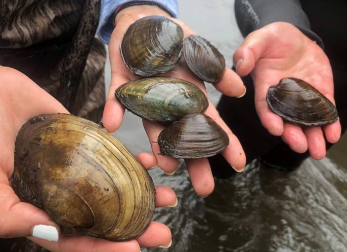
The Mississippi River is home to an incredible array of wildlife, from mussels that filter and clean the water to birds that follow its migratory flyway. These natural systems are integral to the region’s biodiversity.
By restoring and protecting river habitats, Moline can help ensure these resources continue to thrive while also supporting a sustainable economy that values nature as a long-term asset.
Much of the study area’s vegetation is a remnant of its industrial past, consisting of patchy turf, gravel, and unmanaged growth along the river’s edge. This offers significant opportunity for ecological restoration.
Restoring native plant communities will:
• Improve habitat quality for pollinators and wildlife.
• Reduce the urban heat island effect.
• Increase carbon sequestration capacity.
• Reinforce riverbanks and improve flood resilience.
A more naturalized landscape along the Mississippi River will support both ecological health and community enjoyment.


The story of Moline is as diverse and varied as the people who call it home.
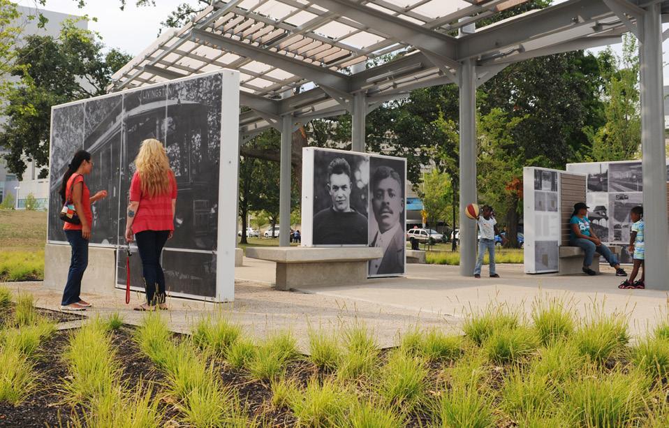
Moline’s story is as layered and dynamic as the people who have shaped it – from the Indigenous nations of the Sauk and Meskwaki who first called this land home, to the waves of industrial growth and cultural change that followed. Nestled at the confluence of the Mississippi and Rock Rivers, Moline’s identity has evolved over time, shaped by opportunity, resilience, and a spirit of innovation.
Today, honoring and amplifying these many stories of place, people, and progress, builds a foundation for the future. This is a riverfront that doesn’t just celebrate Moline’s past but helps define what it means to be Moline now and in the future
Planning Priorities:
• Celebrate Moline’s collective history, from its Indigenous roots to its industrial rise and growing cultural diversity.
• Preserve meaningful existing elements that connect the city’s past to its future
• Create a vibrant, authentic space that reflects Moline’s unique identity today.
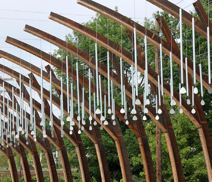
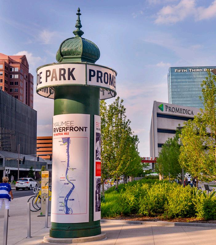
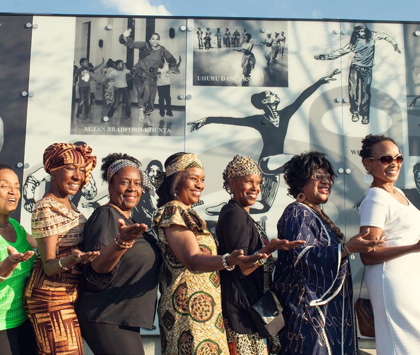
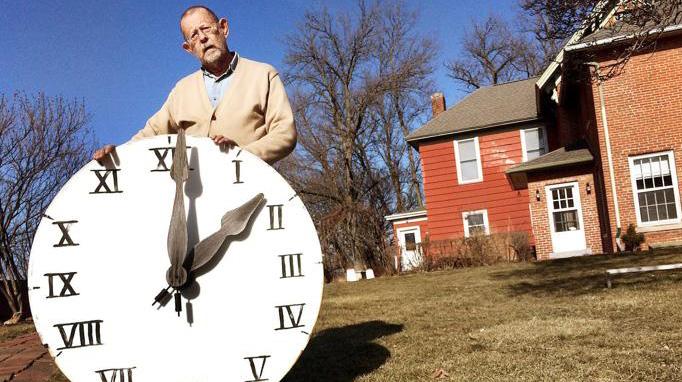


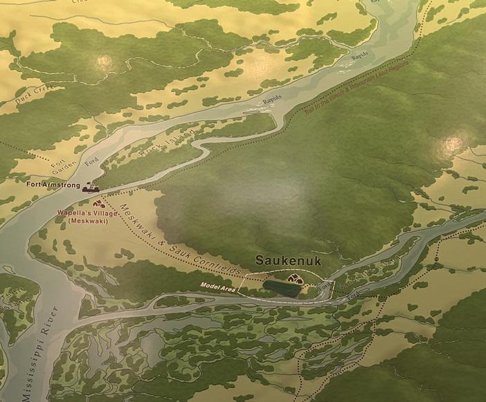
“SaukenukVillage:Thisisavillagefounded in 1720 by theSaukand Meskwaki.”
216
Community members voted to learn about History + Culture at the riverfront


“Theriverhassomuch
history and it’s notdocumentedanywhere
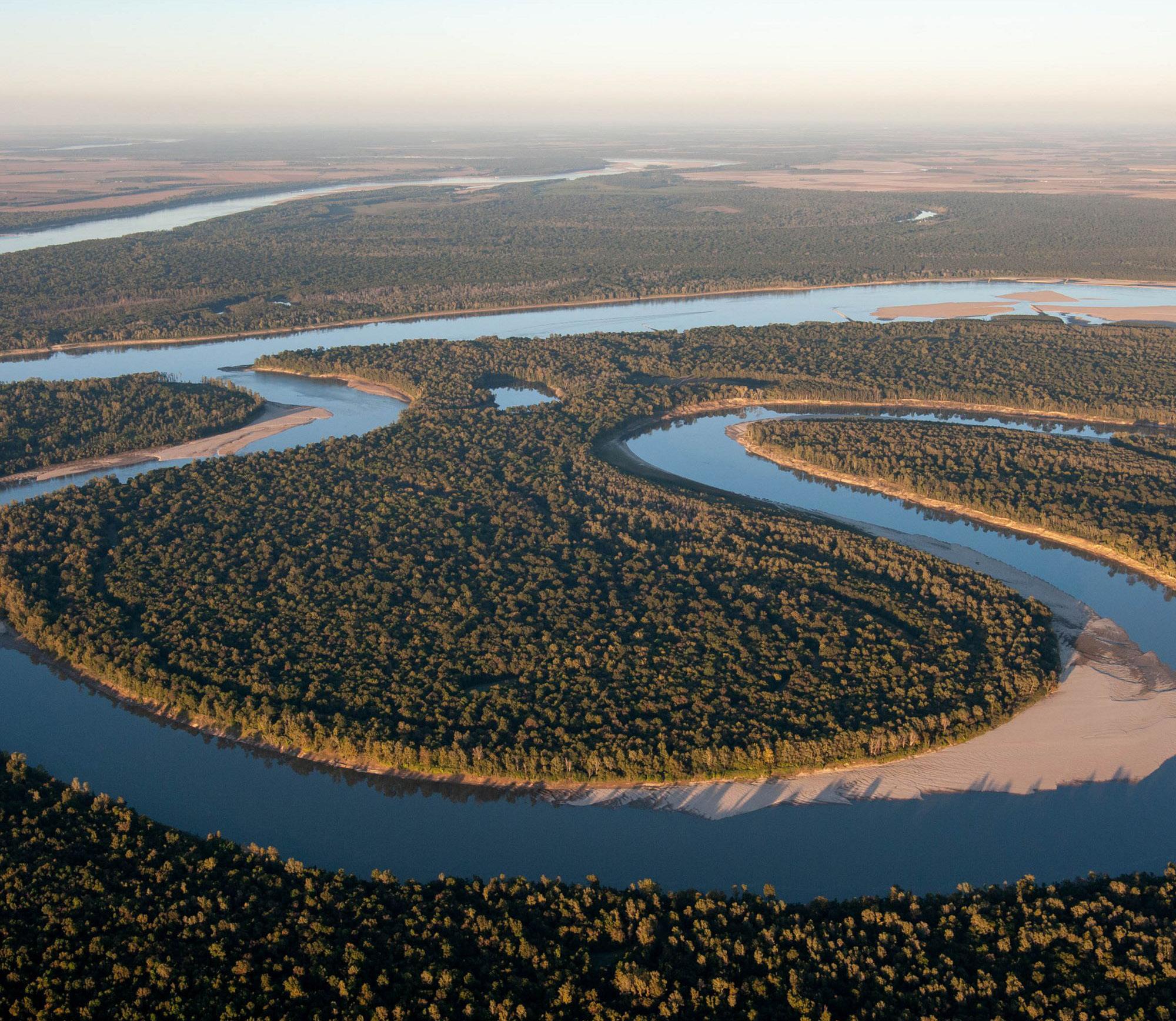
Flowing for more than seventy million years, the Mississippi River has shaped ecosystems, supported communities, and fueled economies. Its course and character have evolved through the ages, but its importance has never diminished. As a natural resource and cultural touchstone, the Mississippi River remains central to Moline’s identity, and with thoughtful stewardship it will continue to serve as a source of life and inspiration for generations to come.
Long before Moline was a city, the land was home to the Sauk and Meskwaki (Fox) Nations, who lived, hunted, and traded along the riverbanks for generations. In the late 1700s, the Sauk city of Saukenuk, located in what is now the Quad Cities, was home to four thousand to six thousand people and stood as one of the largest Indigenous settlements in North America.
While colonial settlement displaced these communities, the region continues to honor the contributions and legacy of its first inhabitants, through education, land acknowledgments, and renewed cultural connections.


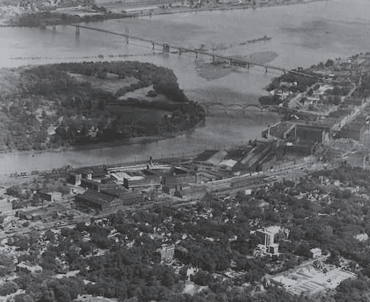
When settlers arrived in the 1830s, they found opportunity in the river’s rapids, which powered the earliest mills. By 1848, Moline (meaning “City of Mills”) was officially incorporated. That same year, John Deere relocated his plow manufacturing business to Moline, setting the stage for a legacy of industrial innovation.
Railroad arrived in 1854, followed by the first bridge across the Mississippi River in 1856, transforming Moline into a thriving


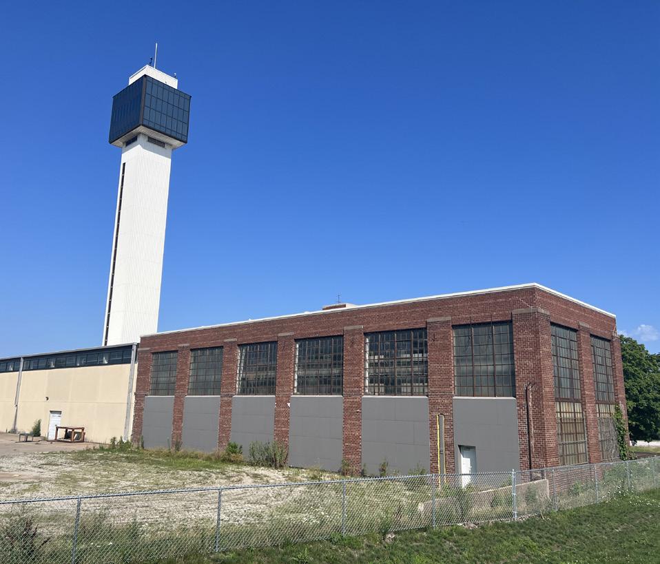
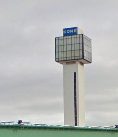
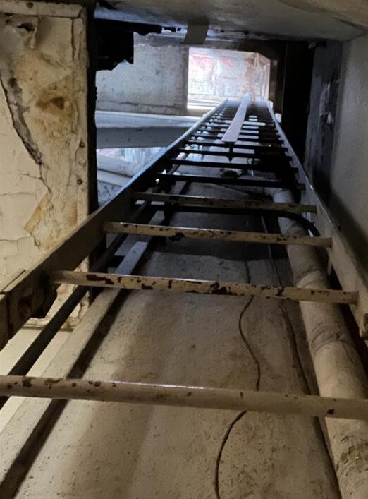
manufacturing hub. Over time, the riverfront hosted industries ranging from traffic signals to elevators, including the Eagle Signal Corporation that finished building its facility here in 1930 and the Montgomery Elevator Company, which built its test tower here in 1966 before being acquired by KONE in 1994.
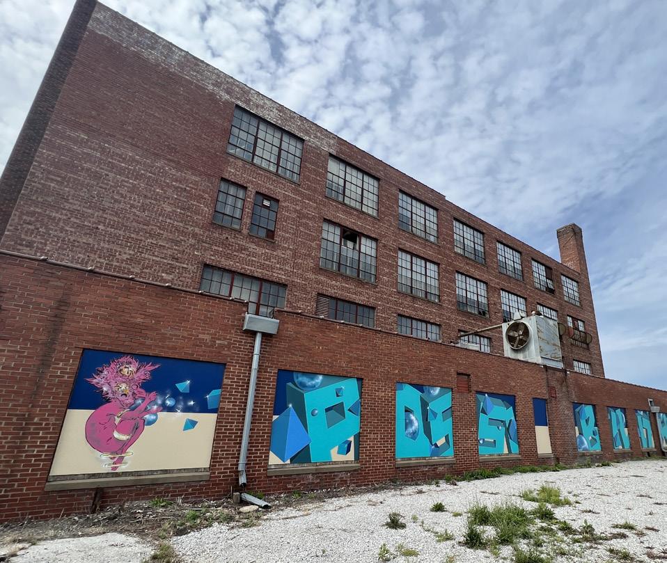
While the global economy has reshaped Moline’s industrial landscape, these historic structures offer opportunities for adaptive reuse that honors the city’s working past.


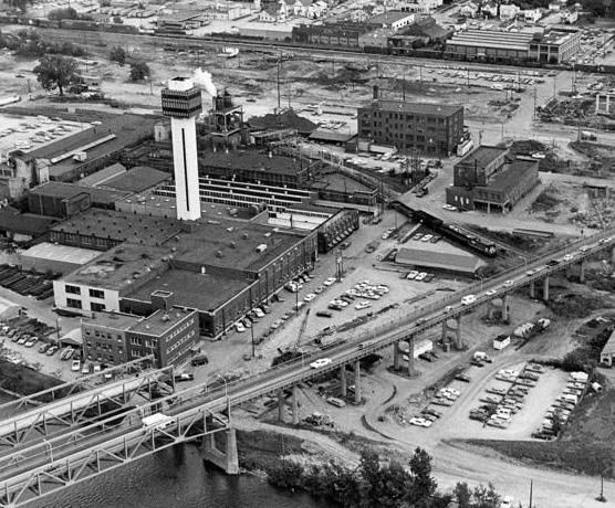
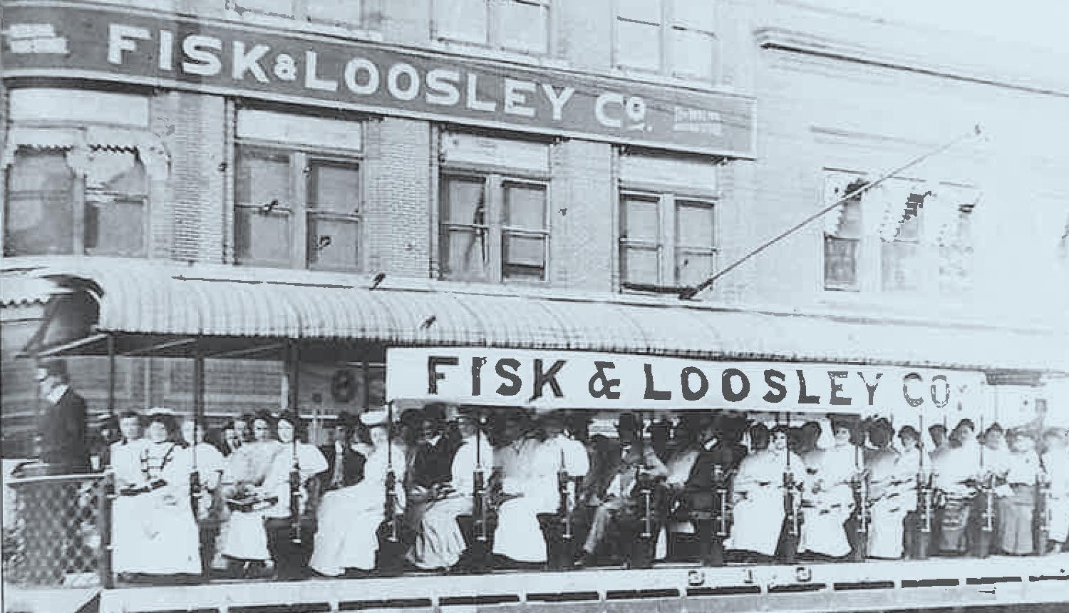
Moline’s industrial boom planted the seeds of a deeply rooted entrepreneurial culture. Figures like John Deere helped shape the city’s civic values, but Moline’s success was built by many, from large manufacturers like Velie, Moline Plow, and Barnard & Leas, to small businesses like Mattie Poole’s art supply store.
By 1900, Moline was home to the largest Belgian community in the United States. Over the decades, neighborhoods like Floreciente have evolved into hubs of cultural expression, welcoming new generations of immigrants and entrepreneurs. Today, Moline’s diversity continues to grow, building on a legacy of inclusion, industry, and innovation.




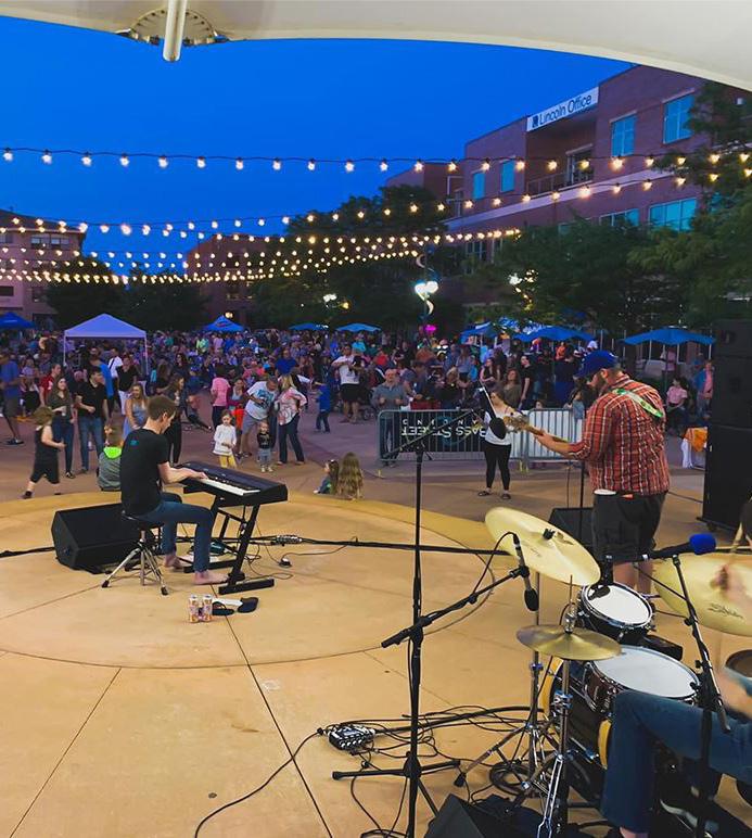
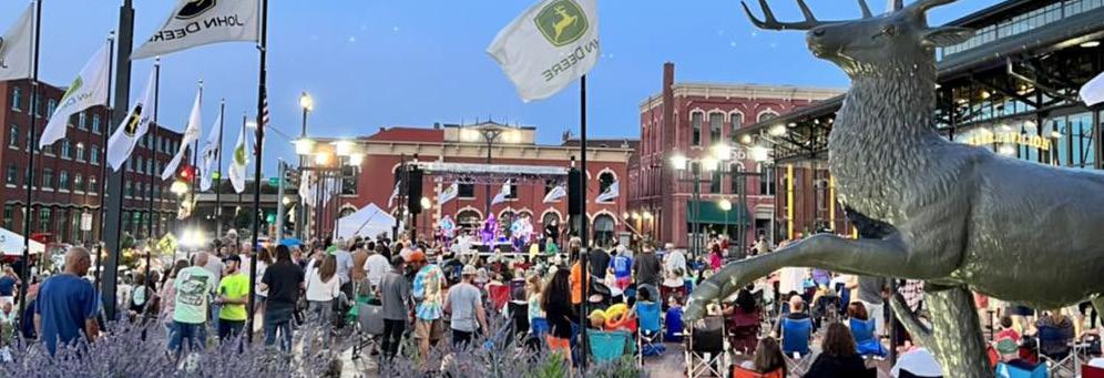
Moline’s public spaces reflect the energy and warmth of its people, supporting lively community markets and music festivals to family events. The non-profit Mercado on Fifth, for example, brings together local vendors, artists, and food trucks every summer with a mission to support minorityowned businesses and celebrate Hispanic heritage.
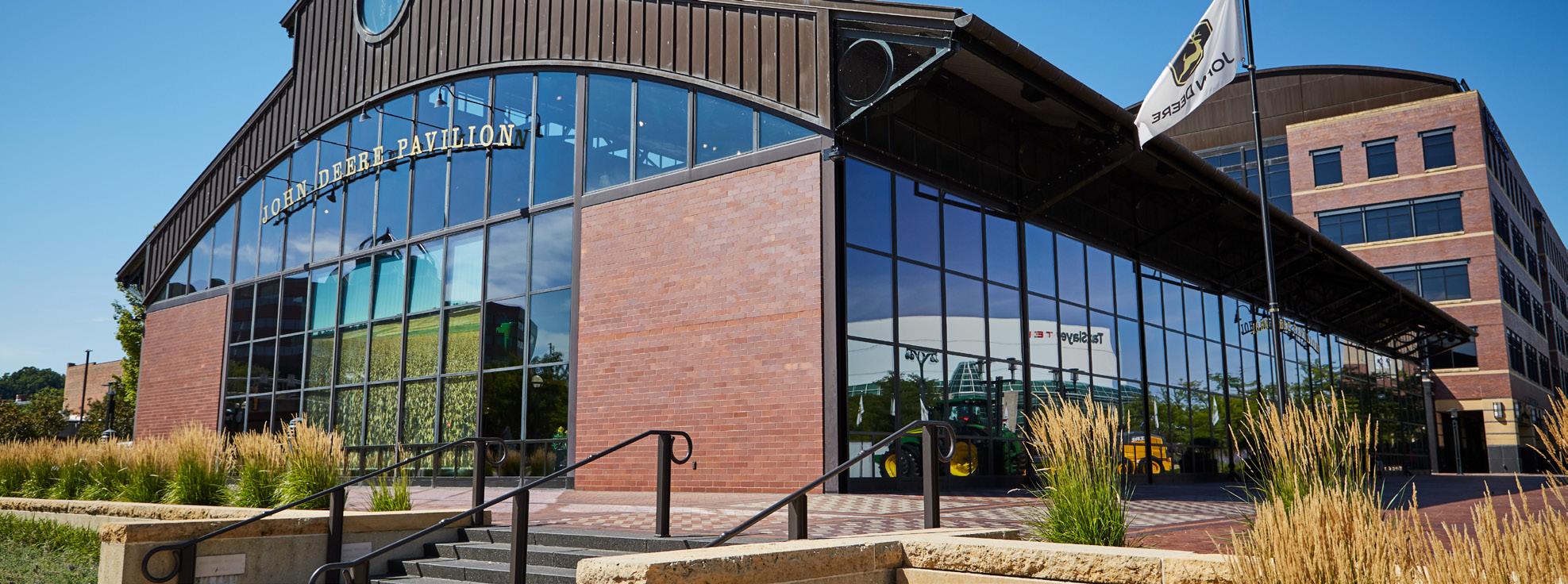
Just steps away, the John Deere Pavilion offers interactive exhibits and events space that honors the past while looking to the future. Anchored by venues like Bass Street Landing and the Vibrant Arena, Moline’s downtown riverfront is a dynamic place where innovation and tradition intersect, and where everyone can feel at home.
US Census Bureau


The Moline riverfront is closer than it feels.
Just a 10-minute walk from the heart of downtown, the Riverfront Study Area is directly connected to a regional network of trails, transit, and destinations across all four of the Quad Cities. Despite this proximity, physical and perceptual barriers, such as a lack of wayfinding and street level activity, the I-74 overpass, River Drive, and active rail lines, limit accessibility and reduce the visibility and vibrancy of this important public asset.
To fully realize the potential of Moline’s riverfront, it must feel connected visibly, physically, and experientially to the rest of the city.
Planning Priorities:
• Improve the journey to and from the Riverfront Study Area by enhancing safety, comfort, and clarity for all users.
• Create a welcoming gateway that invites residents and visitors into the district.
• Strengthen downtown Moline as a walkable, bikeable, and connected community.

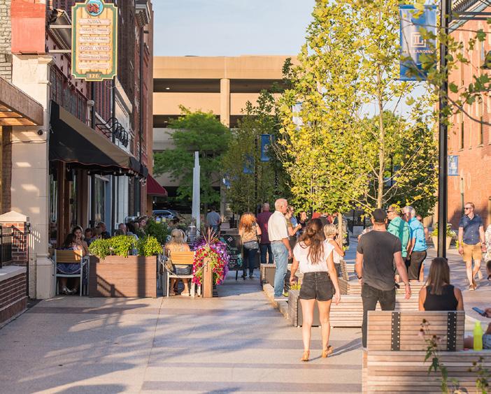

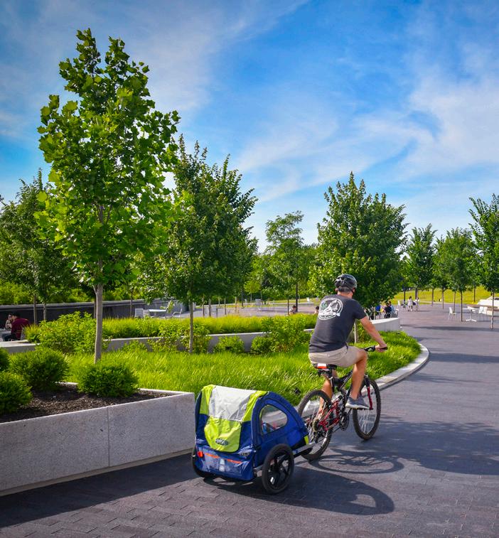
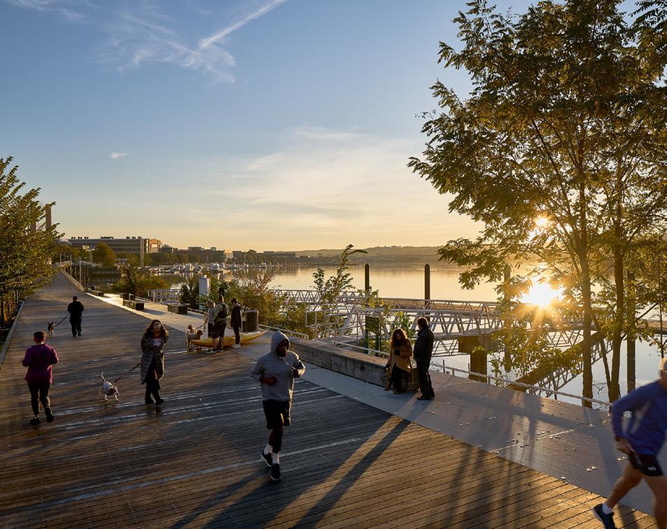

90% of respondents to online survey #2 would walk, bike, or roll to the site if it were safe


“Starttheday
with a walk or bike ride along the riverfront trail.”

”
“Bike to Outdoorfestivalwithkidsandthen, biketonearbyrestaurant.
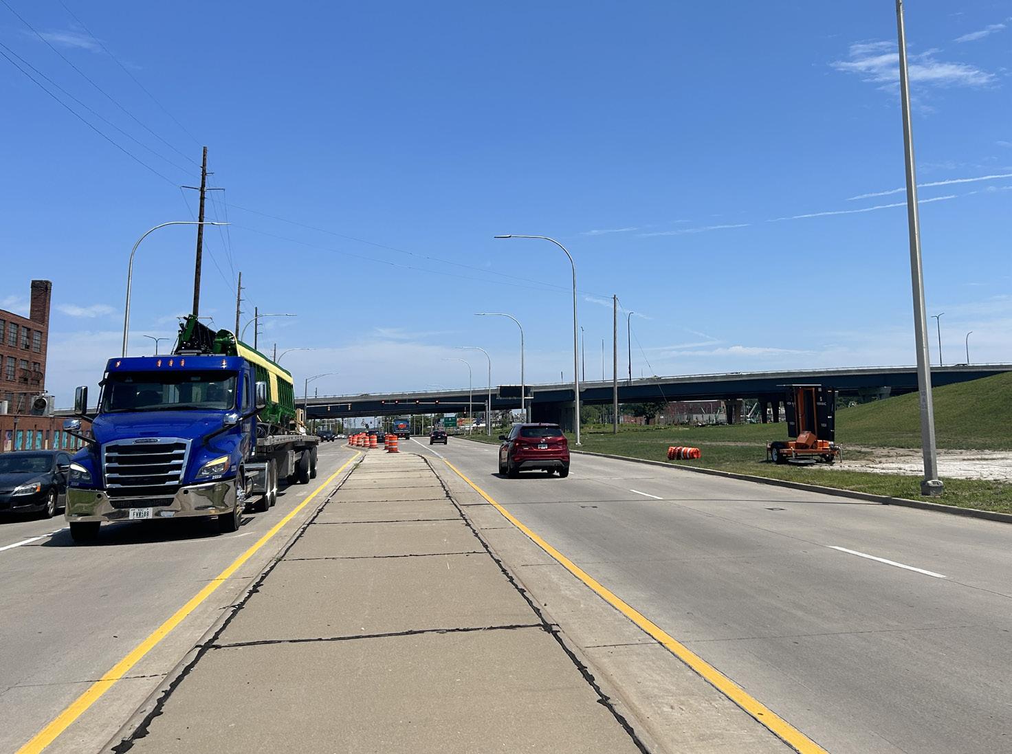
34% of community members chose biking or walking as their highest transportation priority
The I-74 bridge has long served as a critical link between Moline and the broader region, shaping the city’s road network and urban form for decades. Historically, downtown Moline featured an orthogonal grid with varied block sizes. Over time, bridge construction, infrastructure changes, and evolving development patterns have disrupted that original layout.
Most recently, construction of the new I-74 bridge (completed in 2023) introduced several new constraints. The closure of 5th Avenue and the creation of large parcels adjacent to, and beneath, the bridge have made circulation more complex and development more difficult due to regulatory and physical limitations.
Despite these challenges, the surrounding urban form naturally frames a loop that connects the Vibrant Arena, Mercado on 5th, the 5th Avenue commercial corridor, and the Riverfront Study Area. Bridging the current gaps within this loop will strengthen a cohesive downtown experience and reestablish intuitive connections across the district.

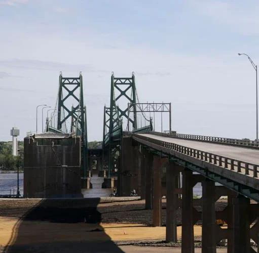


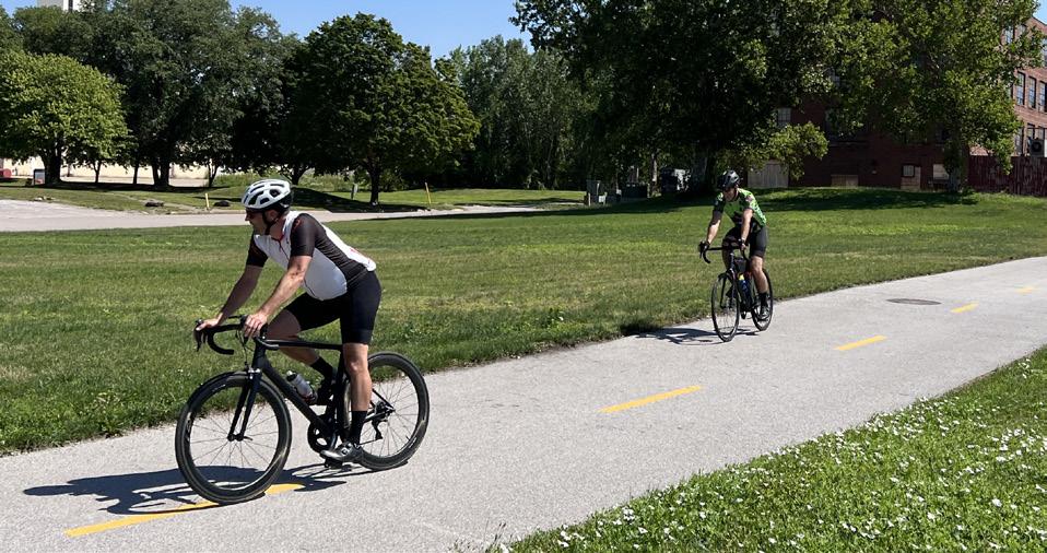
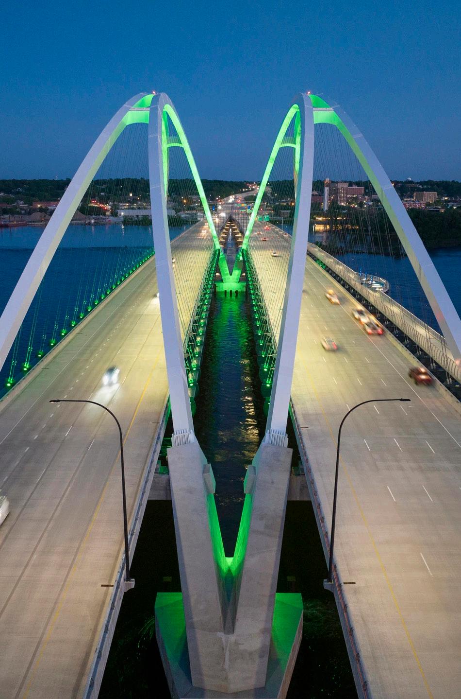
The new I-74 bridge includes a dedicated bike and pedestrian path, offering panoramic views of the river and an iconic experience for people walking, running or rolling. The bridge path itself has already become a regional destination, with residents and visitors routinely parking nearby to “walk the bridge.” This behavior presents an opportunity to bolster local businesses and increase foot traffic within the Riverfront Study Area.
The 19th Street multi-use trail now offers improved north-south access for bicyclists and pedestrians. However, substantial gaps remain – especially south of River Drive – where the bike network is disconnected, and pedestrian infrastructure is incomplete.
Sidewalk gaps persist along River Drive, 4th Avenue, and 7th Avenue. In addition, four at-grade rail crossings between River Drive and 4th Avenue require pedestrians to cross active rail lines, creating real and perceived safety concerns that deter foot traffic.
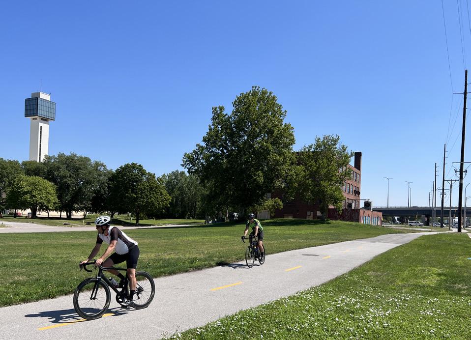

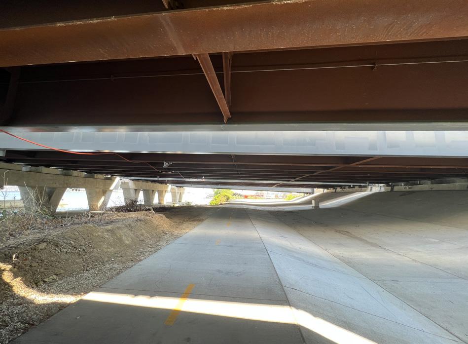


Existing Trails
Sidewalk Gaps Legend At Grade Rail Crossing

Study Area
StudyArea
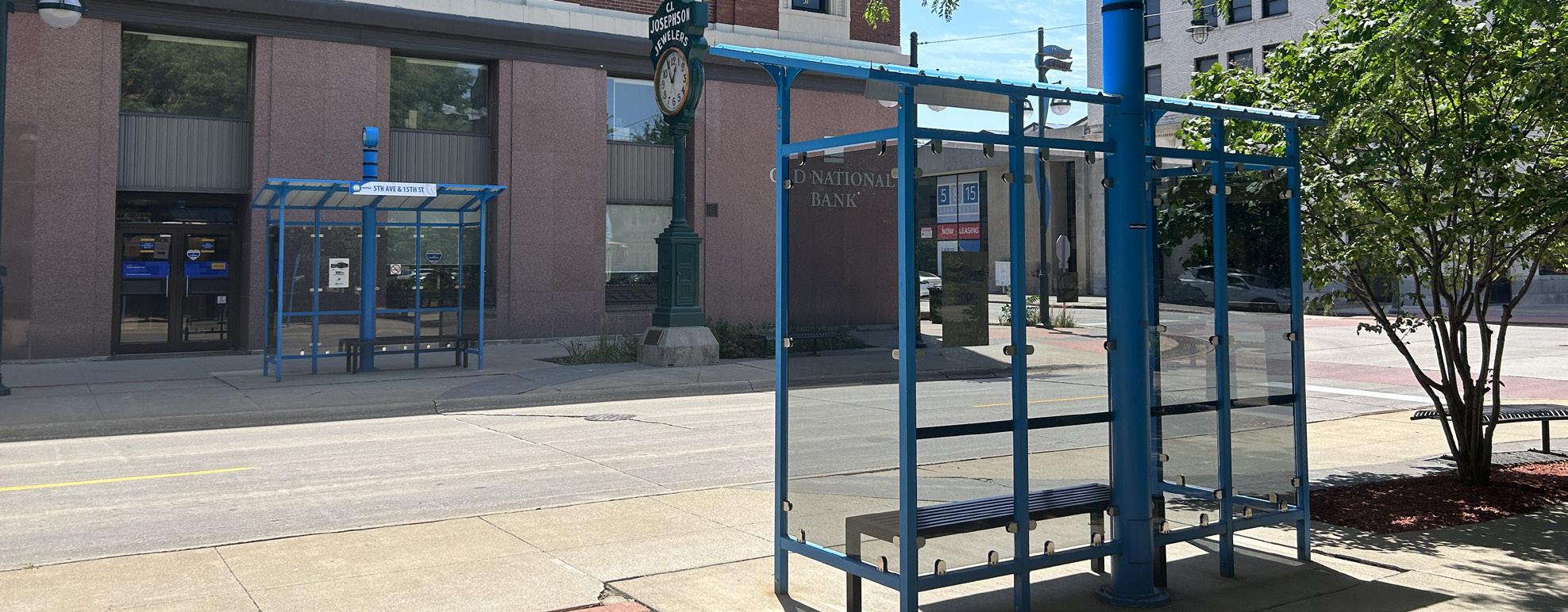
Moline is served by the Rock Island County Metropolitan Mass Transit District, a regional transit system commonly referred to as MetroLINK. It links communities across the region via fixed-route bus service, ADA paratransit, and the seasonal Channel Cat Water Taxi.
This robust system connects the greater Quad Cities with access to jobs, education, healthcare, and cultural destinations. MetroLINK is a key partner in shaping the future of the riverfront and a vital component in its long-term accessibility.
With thoughtful integration, the riverfront can become a more visible, intuitive hub within Moline’s growing multimodal network.


Bus Route 10
Bus Route 20
Bus Route 30
Bus Route 70
Bus Route 80
WIU Bus Route Legend
Moline Centre Station
Channel Cat Route
Channel Cat Stop

How might we...
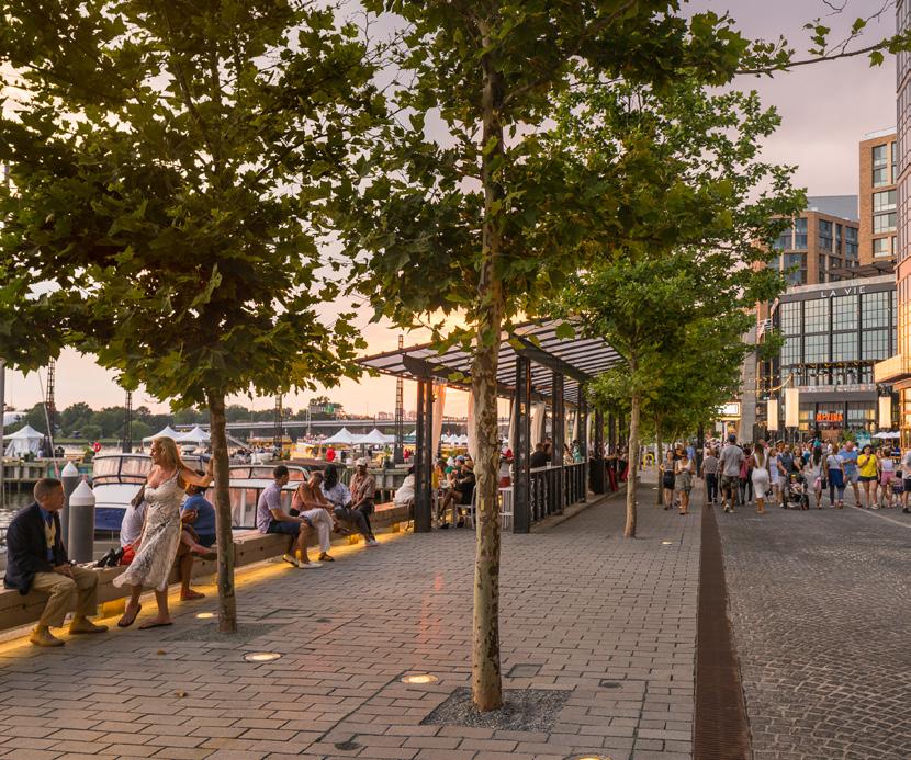
The Moline riverfront is poised to welcome people from down the street, across the river, and around the world.
Located in the heart of downtown and surrounded by some of the city’s most significant cultural, educational, and entertainment assets, the Riverfront Study Area is uniquely positioned to grow into a vibrant engine of community life. With abundant redevelopment potential, it can serve as a space for gathering, celebration, and pride, a place that feels like home to all..
Planning Priorities:
• Bring the Moline community together to live, work, and play all year long
• Grow a place that feels like “home” and draws you back again and again.
• Instill community pride; a place Moliners are proud of and excited to share.

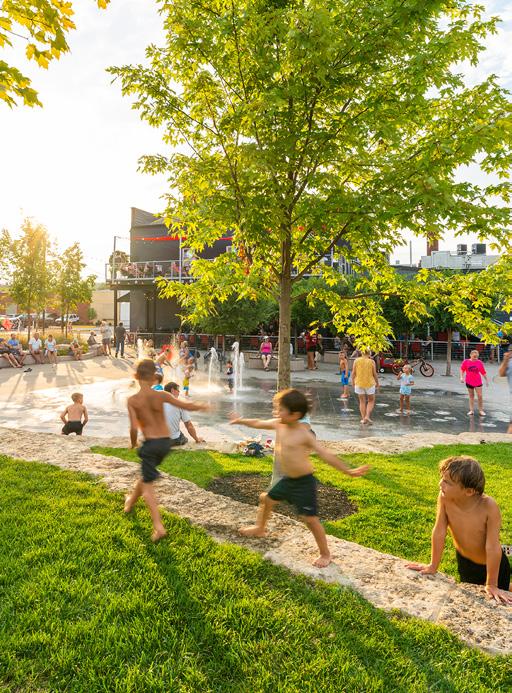
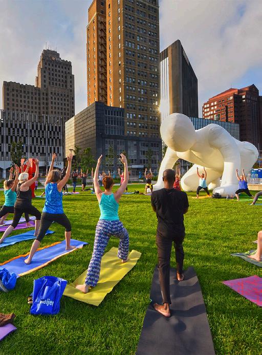


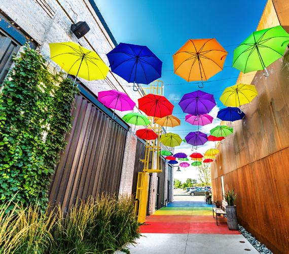
#1 Answer when asked what experiences the River needs the most.


394 community members voted enjoy Art, Performances + Events on the riverfront
music, and art.” “A gathering place offoodculture.”

“...thedistrictmademefeelincrediblyproudofthe
growth and prosperity of
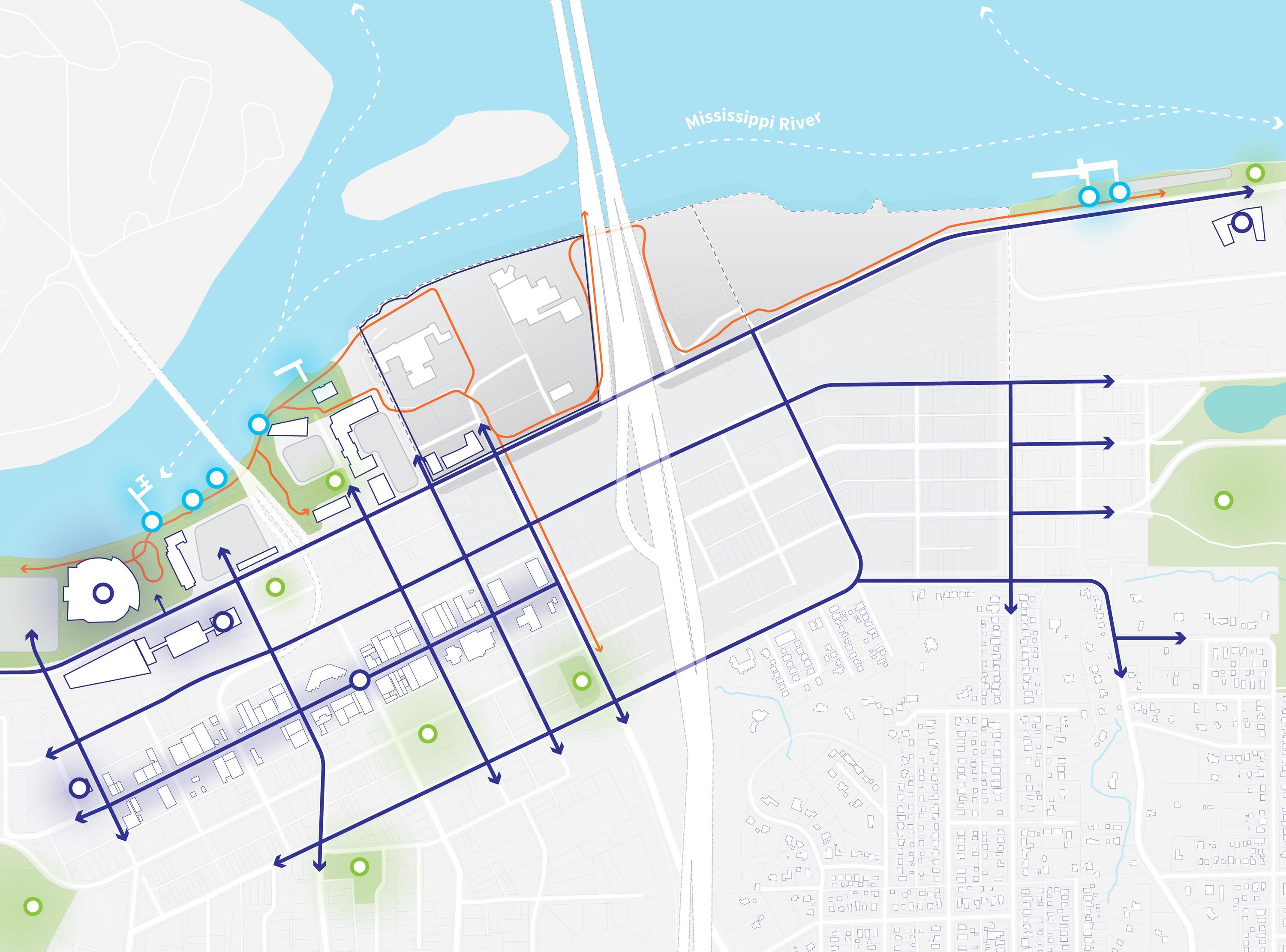
The Riverfront Study Area sits within a constellation of major destinations in Moline and the broader Quad Cities region.
From Riverside Park and the Vibrant Arena to 5th Avenue’s downtown corridor, Western Illinois University, and Mercado on 5th, the area is surrounded by activity, culture, and civic life. The riverfront is uniquely positioned to enrich and connect these assets, creating a continuous experience for residents and visitors.
The site is bisected by an east-west rail line, creating a natural separation between eventoriented uses to the north and commercial uses to the south. Nearby neighborhoods (including Overlook, Park Hill, and the residential area east of the study zone) add depth and identity, with histories rooted in Moline’s early development and immigrant communities.
By transforming underutilized land, especially areas left behind by the old I-74 bridge, the district can bridge these divides both physically and symbolically. It’s a chance to stitch together historic neighborhoods, cultural institutions, and civic spaces into one unified district.


Connector Street Legend
Existing Trail
District Destination
River Destination Open Space Destination
Secondary Study Area
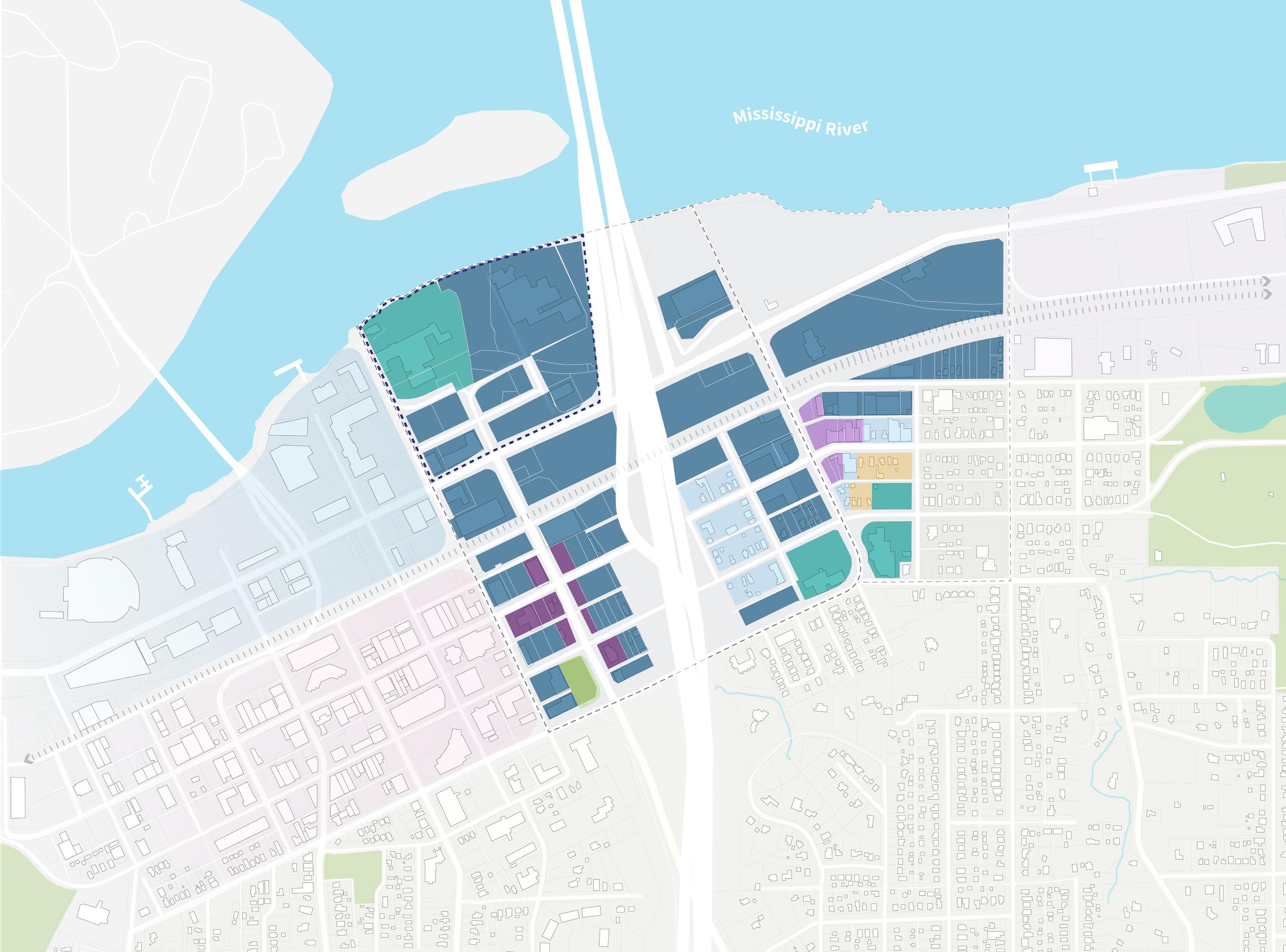
On April 18th, 2023, the City of Moline adopted a new form-based code for the Moline Centre District.
Form-based codes emphasize the design and physical form of development over traditional use-based zoning. This approach allows a mix of uses (residential, commercial, civic, etc.) to coexist while ensuring consistency in urban form, walkability, and public space. The code encourages seamless transitions between buildings, streets, and neighborhoods, helping the riverfront develop in harmony with the surrounding context.
The overall study area is primarily comprised of GX-1 and GX-2 Residential-Office Core General zones, with smaller pockets of SX-1, SX-2, RX, CV-1, and CV-2 that reinforce existing commercial corridors and transition to the adjacent neighborhoods.
This regulatory framework enables a communitycentered vision for the riverfront, one that welcomes density and activity while protecting the unique character of Moline’s adjacent neighborhoods.
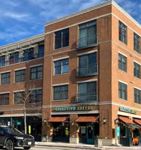
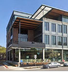
The SX districts are intended for the corridors and nodes, where walkable Storefront Buildings include shopping, eating and drinking, and services.
SX-1 is intended for the core of the downtown.
SX-2 is intended for the edges of the downtown adjacent to neighborhoods.*
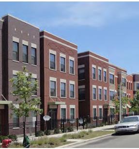
The GX districts are intended for locations where residential, office, and other low intensity commercial and production uses can mix comfortably in General Buildings, and Row Buildings can be used for live-work or residential uses.
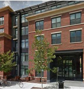
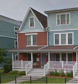
The RX district is intended for single- and multi-unit residential in a mix of building types located as transitions between the downtown and the surrounding neighborhoods.*
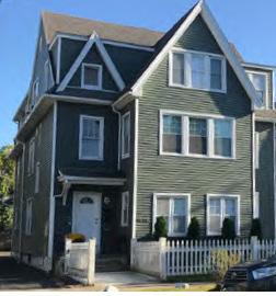
The CV district is reserved for civic-institutional uses.
CV-1 is for civic and institutional uses occurring within a principal buildings on the lot.
CV-2 is for parks and recreational spaces that do not contain a principal building.*


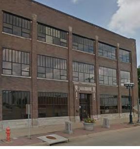
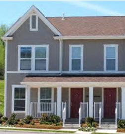
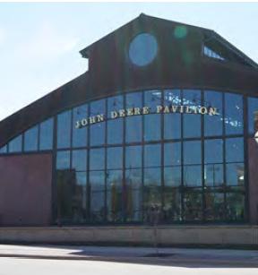
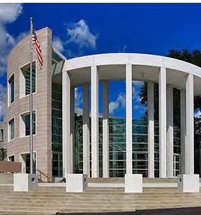
The Riverfront Study Area can be the catalyst that invigorates Moline for generations to come.
Transformational redevelopment requires vision, collaboration, and commitment. Projects of this scale demand strategic coordination, identifying where the market will respond, where public investment will have the greatest impact, and where partnerships can generate long-term value. The key is knowing where to begin. A clearly defined set of first steps can ignite the spark that sets the entire vision into motion.
Planning Priorities:
• Articulate an ambitious, yet actionable plan for the future of Moline’s riverfront.
• Highlight projects to build early momentum.
• Stimulate economic development, attract tourism, expand opportunity, and instill pride in Moline for generations to come.
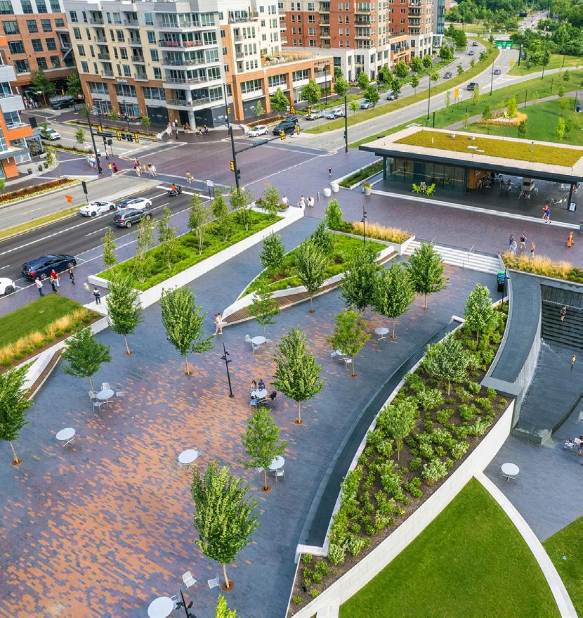
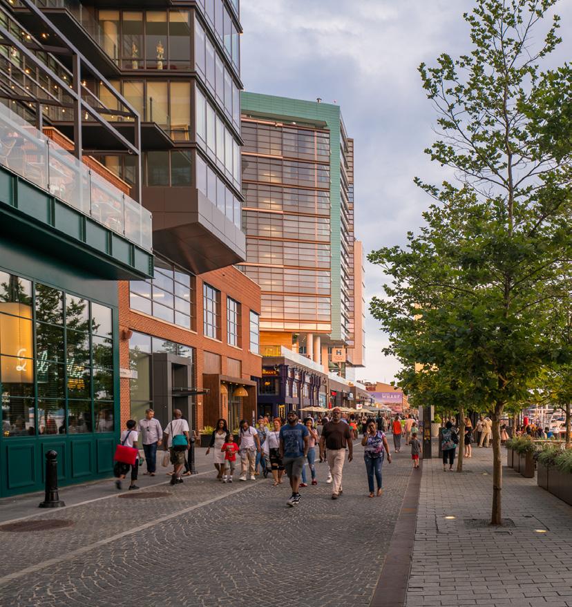
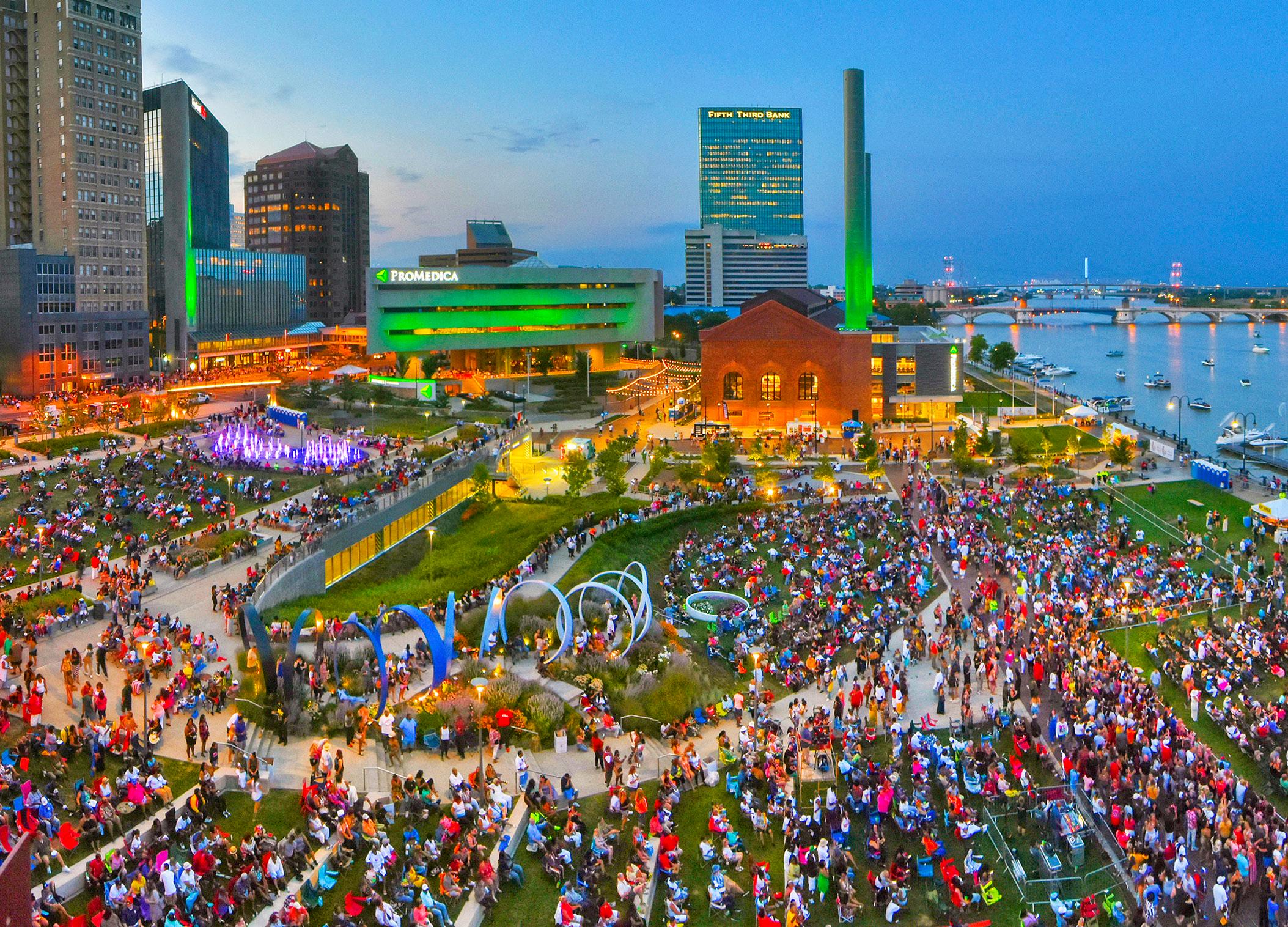

77,300 Cars per day pass our site on I-74. More than any other place in the Quad Cities
“ ...becomingavibrant hub of activity and natural beauty.”
“A gateway between Illinois andIowa.”
“...transformingfromasleepyindustrialareaintoamodern urban
area full of life and vitality.”

The completion of the new I-74 bridge has created momentum that Moline must capitalize on. The riverfront is ready for its next chapter, and several strategic moves have already laid the groundwork for change.
Key steps already taken include:

• The city’s acquisition and consolidation of key riverfront properties.
• Implementation of new trail connections, including the Mississippi River Trail and 19th Street Multi-use trail.
• A redevelopment study of the historic Spiegel Building.
• Redevelopment of properties on 5th and 6th Avenue is bringing new residential downtown.
The efforts form a strong foundation. Moving forward, public-private partnerships will be critical in transforming these assets into vibrant places. When guided by a shared vision and sustained collaboration, these partnerships can reduce risk, unlock funding, and deliver projects that serve the needs of all Moliners. By building on past investments and coordinating future ones, Moline can create a riverfront district that inspires pride, drives prosperity, and defines the next era of the city’s growth.



The foundation of Moline’s Riverfront.
The vision for Moline’s Riverfront begins with a public realm that is safe, comfortable, and welcoming. This network of streets, trails, parks, and public spaces facilitates movement between destinations across the community while providing ample opportunity to meet, gather, mingle, rest, engage, and inspire. A framework centered around existing cultural and natural resources, public spaces, public ways, existing infrastructure, and amenities supports fresh investment opportunities for community programming and renewed neighborhood vibrancy.
The riverfront becomes a hub with strengthened physical and programmatic connections that provide increased social access, equity, and engagement to and through the district, positioning it as an epicenter within Moline’s vibrant culture and 24/7 appeal.
The following pages explore a public realm framework for the downtown districts and set the stage for more future implementation.
The riverfront is uniquely positioned within Moline Centre at the confluence of existing roads, trails, and natural assets. Investment here “closes the gap” left by the relocation of I-74 and creates a hub that draws people to and from the riverfront, venues, and attractions along River Drive, commercial and cultural destinations on 5th Avenue, and the Quad Cities more broadly.

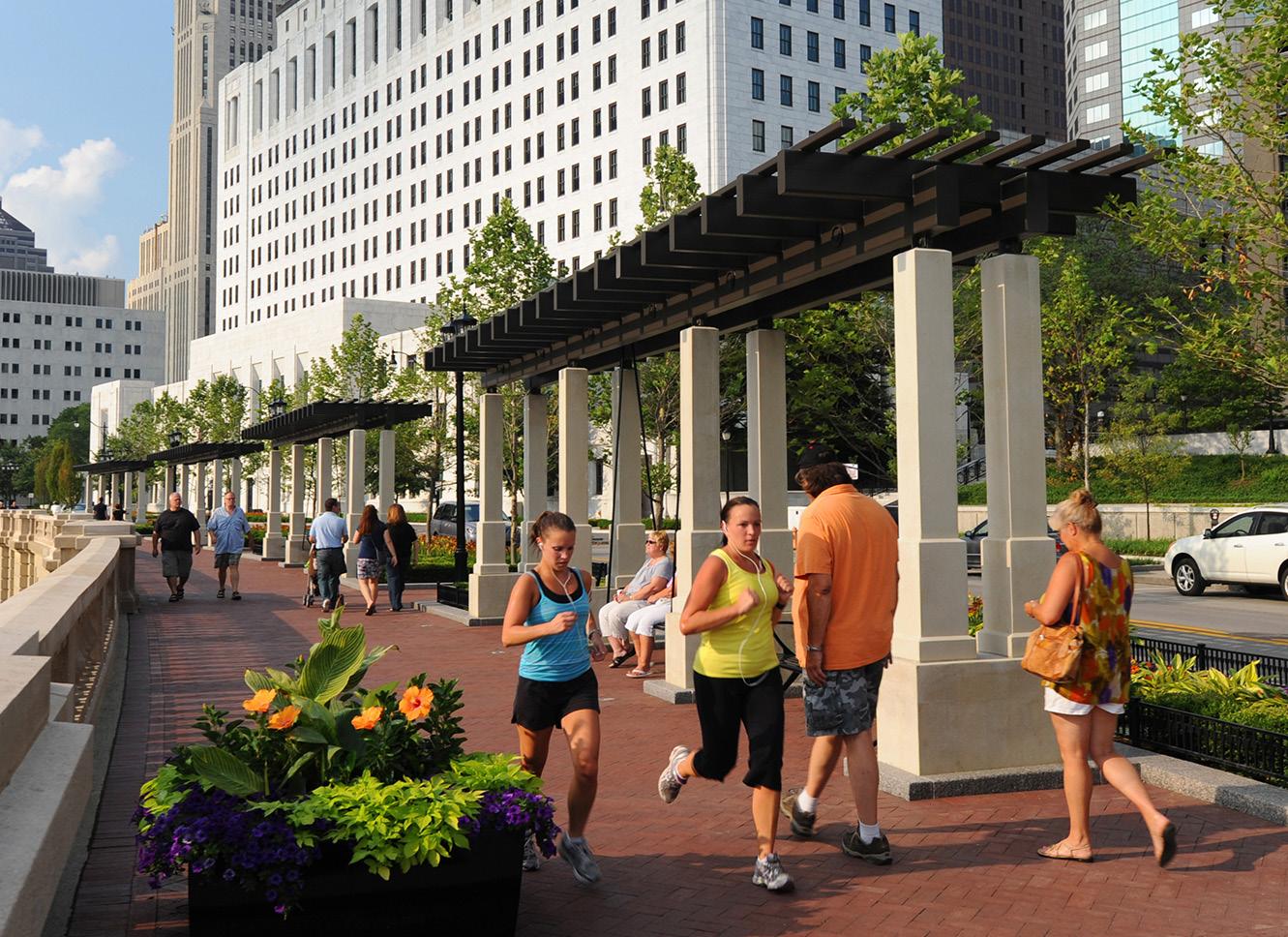
Streets are one of the most defining characteristics of vibrant downtowns and districts. Whether they are safe, comfortable, and inviting says a lot about how a community values the people using the streets and the places along them. Great streets are a necessity to properly welcome people to Moline’s riverfront and to Moline Centre.
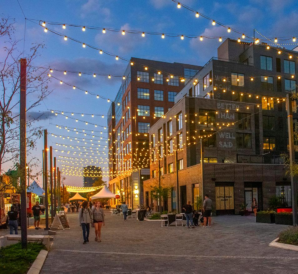
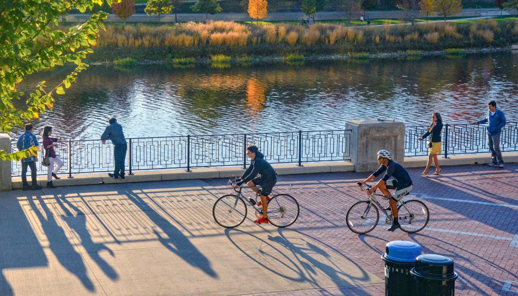
Great streets are designed for people. They should be designed for the benefit of all modes but prioritize the pedestrian first. They should be safe and inclusive – including pedestrian-scale lighting and accessible elements; they should be comfortable – with generous sidewalks, abundant street amenities, and consistent shade from street trees; and they should be interesting and inviting – with active and transparent first floors, outdoor seating, and human-scaled details.
Great streets demonstrate the city’s confidence in and support of a place. They send physical, psychological, and market signals to the community that Moline is dedicated to its success. Investment in streets directly supports existing civic assets and sets the stage for the next generation of private development investment.




Collector Residential Alley Minor Arterial
Existing Trails
Existing Sidewalk Proposed Trails Sidewalk Gaps
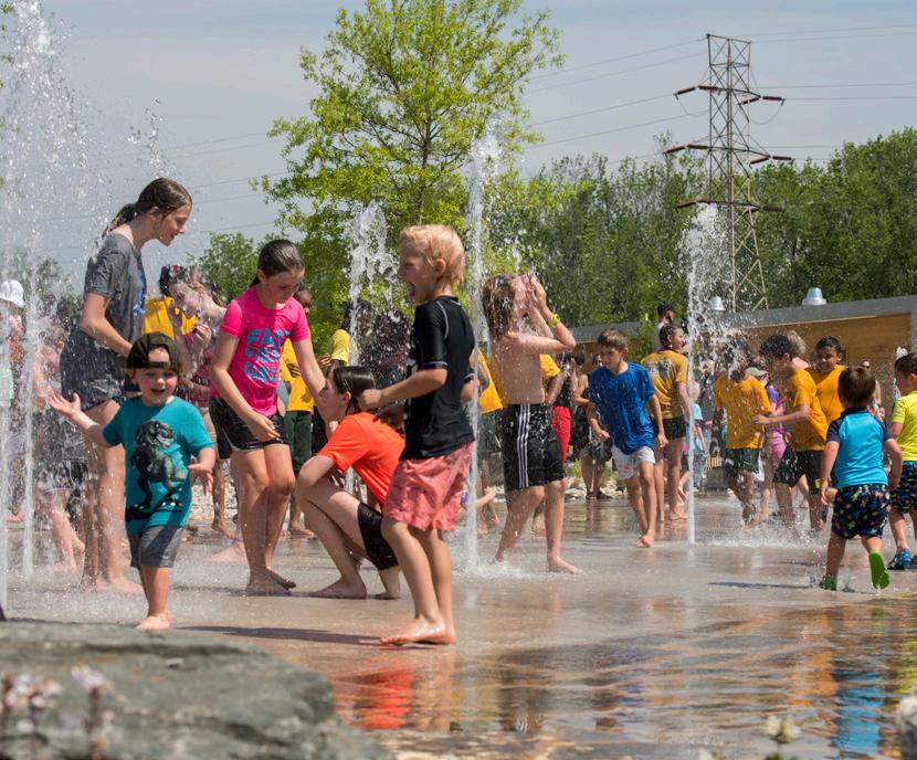
Great public spaces have proven to create catalytic change in communities across the world. Investment in these spaces shows developers, potential users, and residents that the city is committed to improving the quality of life in the area.
Tremendous opportunities exist along Moline’s Riverfront to reimagine existing public spaces and create new signature spaces alongside the redevelopment of underutilized sites. These include:
• the creation of a “Great River Park” on the banks of the Mississippi River,
• activation of the spaces around and beneath the I-74 corridor, and
• repositioning of 5th Avenue and 19th Street as greenways.
These investments will provide the opportunity to activate, connect, and incentivize future development in Moline Centre and along Moline’s Riverfront.


Legend
Existing Trails
Proposed Trails
Existing Greenspace
Proposed Greenspace
Key Connectors
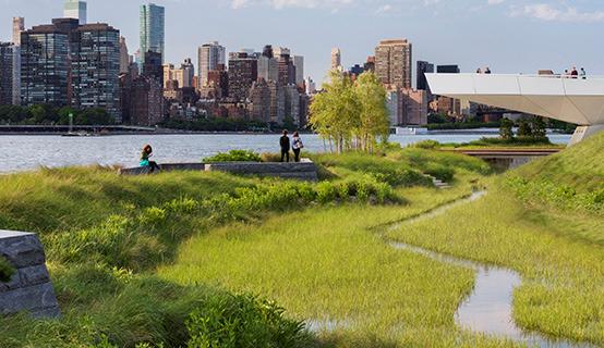
Sustainable planning, urban design, and architectural principles guide and influence all phases of the Moline Riverfront Master Plan. Green building practices inform design decisions, helping to position the district as a leader in reducing pollution and energy use, a promoter of transit and mobility, a supporter of clean energy, and user of renewable and long-lasting building materials.
Projects within the riverfront are to be constructed using green building practices to reduce impacts on resource consumption, ecological systems, and human health. These recommendations, built around reducing the districts carbon footprint and energy use, conserving water, and improving ecosystem services, help the community create a better balance between growth and the natural systems supporting it.
Key initiatives include but are not limited to:
• multi-modal infrastructure, electric vehicle charging;
• stormwater management via parks and green infrastructure and technologies;
• district-wide energy generation via geothermal technologies;
• consideration of innovative energy capture technologies, such as kinetic pavement technology, wind energy, and solar energy;
• community “E-Hub” providing a platform for education (environmental, energy, ecology) and events.

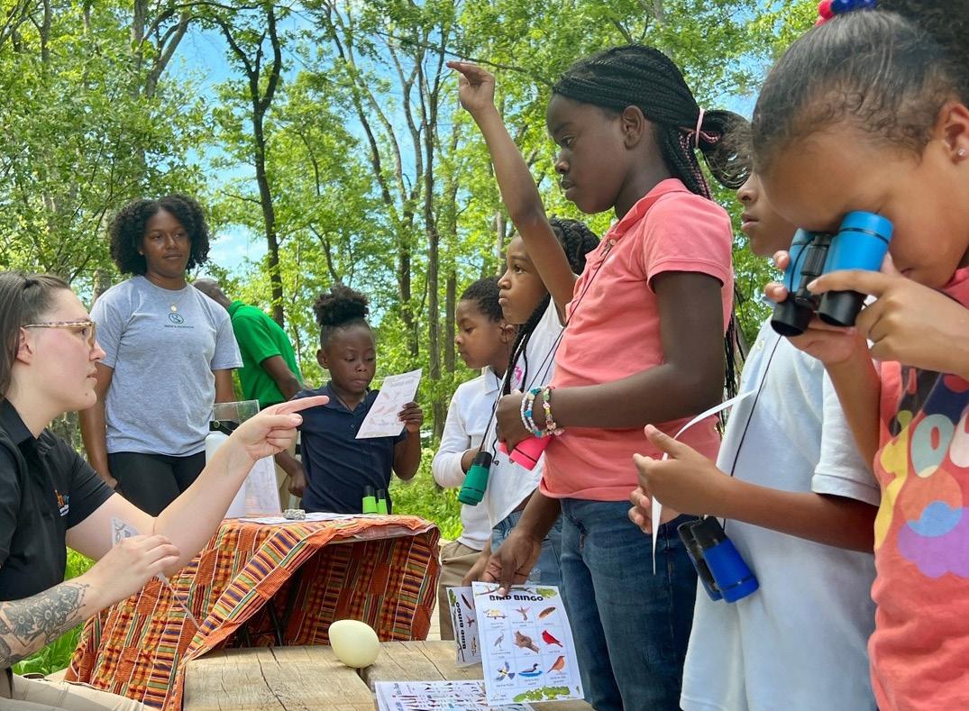
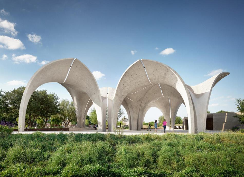

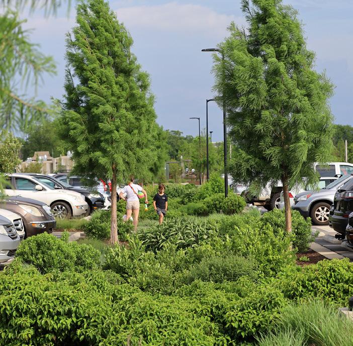
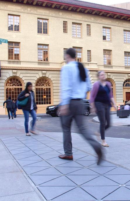
Creative placemaking places arts and culture at the center of community building, shaping how people experience and connect with the places they call home. In Moline, integrating public art into the riverfront district offers an opportunity to celebrate the city’s diverse history, elevate local voices, and spark new forms of expression and engagement.
Public art can honor Moline’s industrial heritage, highlight the natural ecologies of the Mississippi River, and reflect the cultural identity of presentday Moline. These artistic interventions, whether permanent installations, interactive elements, or community-led projects, help transform everyday spaces into memorable destinations.
As Moline and the Quad Cities look to attract new residents, businesses, and visitors, public art serves as both a catalyst for community connection and a driver of economic vitality. By merging creative placemaking with infrastructure and public space design, Moline can build a riverfront that reflects its spirit, stories, and aspirations for the future. Placemaking and public art strategies should highlight themes that reflect the depth and complexity of Moline’s story, including:
• Geological features and natural resources
• Indigenous history and cultures
• Early settlement and civic formation
• Moline’s industrial past
• Immigration and cultural heritage
• Today’s vibrant and diverse community
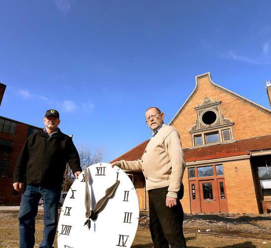
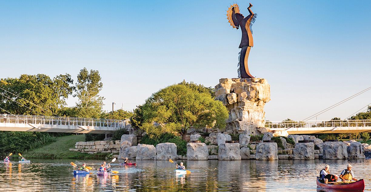


Moline is an increasingly diverse and dynamic community. This diversity, in all senses of the word – socially, culturally, historically, architecturally, etc. is one of its greatest strengths.
Distilling Moline’s Riverfront into smaller increments allows the application of customized approaches for specific areas as opposed to a broad strategy that may not directly apply to everyone’s needs. Defining sub-districts also allows residents, new and old, to identify with their unique community’s sense of place, thus instilling individual ownership, stewardship and pride within their neighborhood.
Five distinct sub-districts are envisioned for Moline’s Riverfront: River District, Gateway District, I-74 Corridor Connector, 5th Avenue Hub, and River East. Each is linked through an integrated public realm, but opportunities for unique public spaces, land uses, development products, and placemaking elements exist within each.
To the right is a brief description of each subdistrict accompanied by imagery highlighting its look and feel. Additional details for each sub-district are expanded upon in the following sections.
The Riverfront sub-district represents a once-in-ageneration opportunity to craft a world-class riverfront park and mixed-use district on the banks of the Mississippi River.


The Moline Centre Gateway greets visitors existing I-74 and traveling on River Dr with mixed-use development and community uses including an arts-centered gateway plaza beneath the bridge.
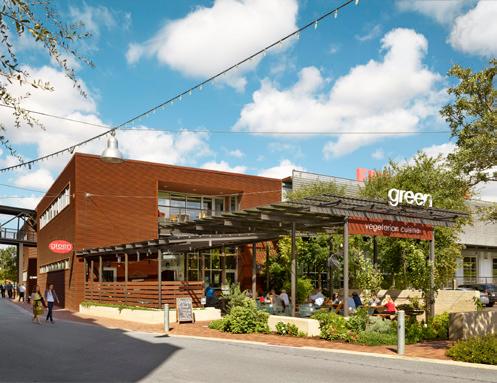

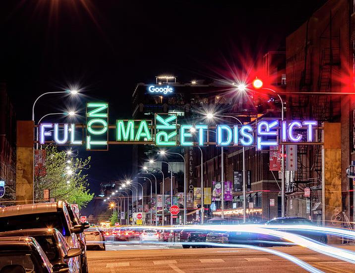
The 5th Avenue Hub densifies the east terminus of the Downtown Commercial Historic District with arts-centered mixed-use district that builds on existing nearby cultural institutions.
The I-74 Corridor is reimagined as a green gateway and connector complete with parks, public spaces, and trails running along its length.


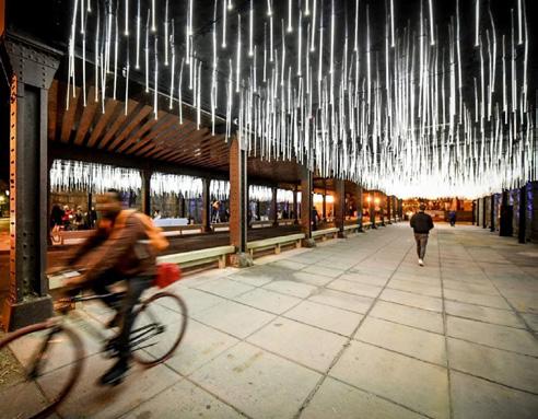

River East is envisioned as a neighborhood-scaled mixeduse district that supports the growth and expansion of existing commercial uses along 5th Avenue and provides future residents with a diverse range of housing choice.
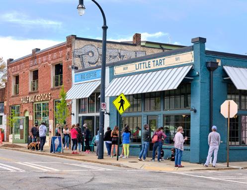
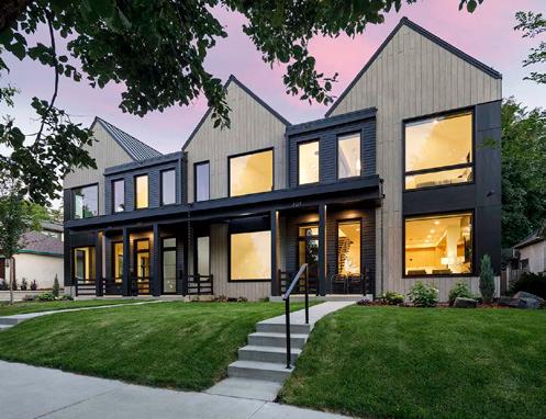


The riverfront sub-district represents a once-in-ageneration opportunity to craft a world-class riverfront. This vision crafts a place that is welcoming for locals, magnetic for visitors, and creates a signature destination that transforms the experience of Moline and the Quad Cities region.
The “Great River Park” provides an inclusive, dynamic, and exciting gathering place for residents and visitors alike to come together and experience the Mighty Mississippi.
The River District provides more opportunities to live, work, and play on the River in the heart of Moline. Preservation of key pieces of the BridgePointe Building, including the Tower, ground the district and connect it to the site’s past while their adaptive reuse shines a light on the riverfront’s bright future.
The following pages explore the vision for Moline’s Riverfront.


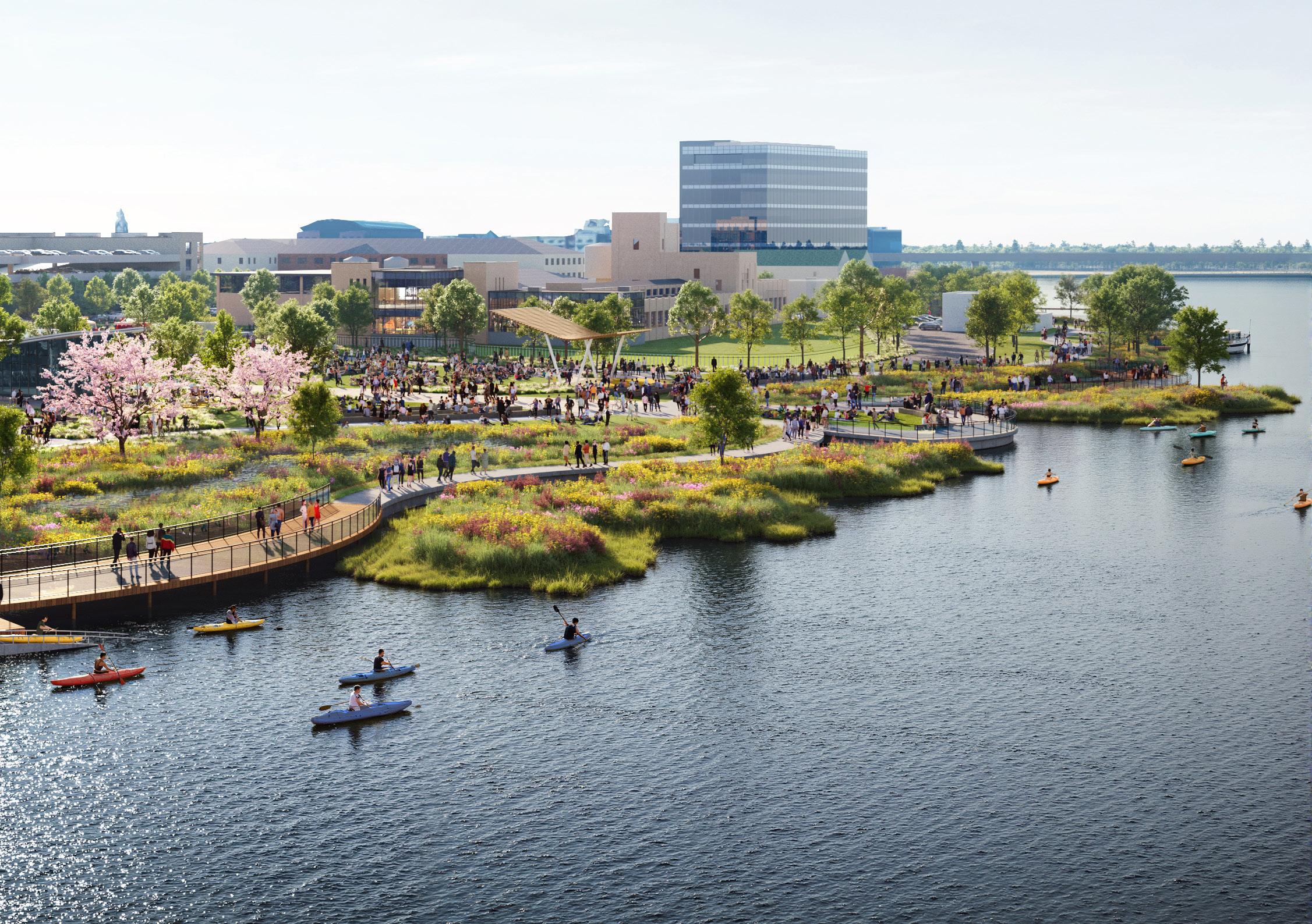
The River District features a signature riverfront park along the banks of the Mississippi and provides space to play, explore, and gather adjacent to this natural and cultural asset.
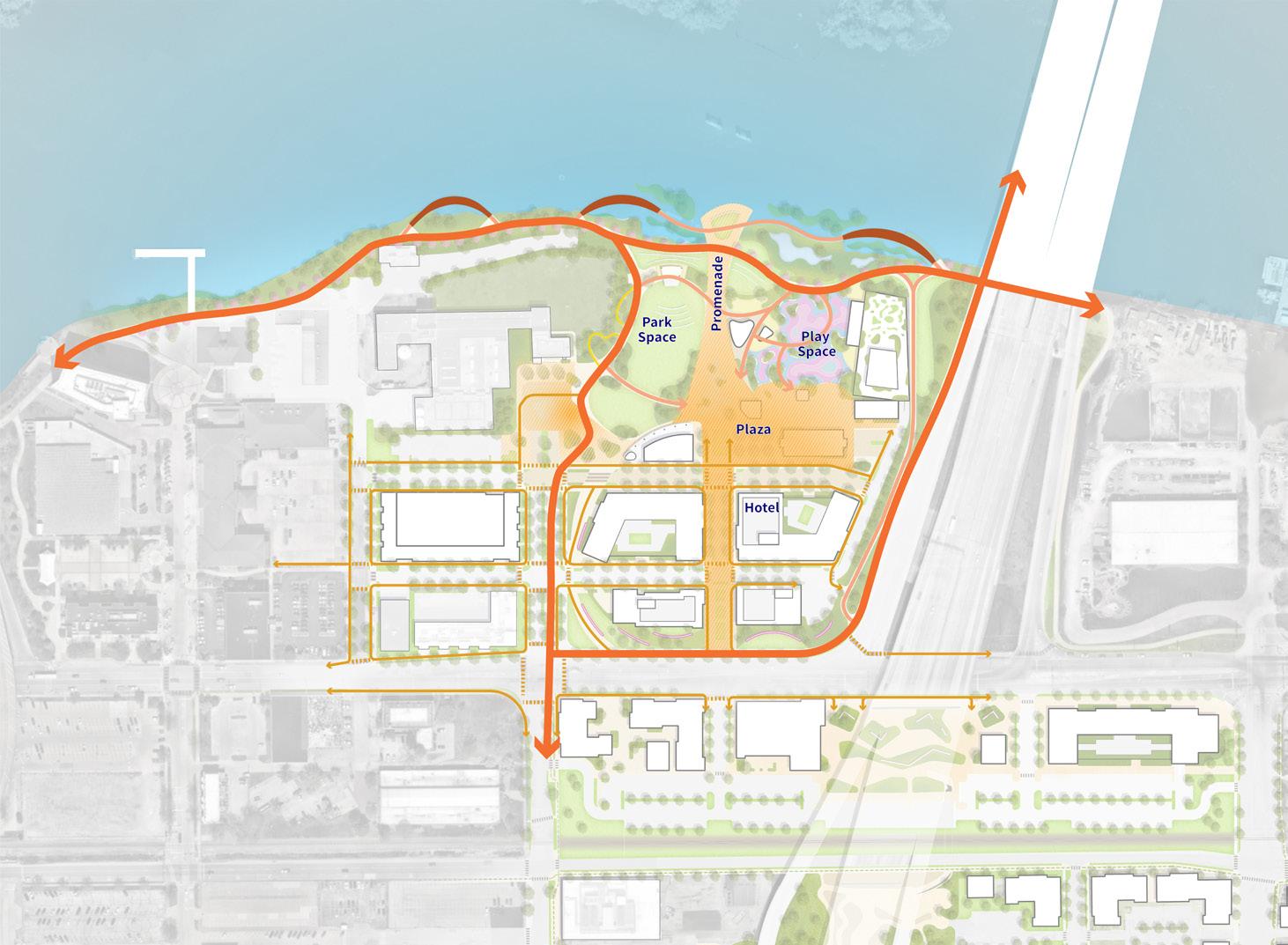
Development is concentrated along River Drive to strengthen the sense of arrival into the core of Moline Centre and arranged in such a way to frame a series of interconnected plazas and public spaces that invite exploration and discovery.

The preservation of significant, sufficient, and prohibitivelycostly-to-replace infrastructure on site is an important design driver within the River District.
The configuration of open space and development along River Drive and 19th Street is dictated by easements for an 84” storm sewer, 36” sanitary sewer, and overhead power lines. The placement of proposed park structures and strategic stormwater management and topographic grading is dictated by the preservation of this 84” storm sewer and a 60” storm sewer that runs parallel to it within the park.

The River District is regraded to strengthen connections, both visual and physical, to the Mississippi River while mitigating flood risk for new development.
Areas near the Mississippi River are excavated to improve accessibility, re-introduce naturalized riparian areas, and create a series of programmable park spaces designed to accommodate periodic flooding. Areas near River Drive are filled to create development pads above the 100-year floodplain, providing a protected zone for new buildings to be constructed on site.

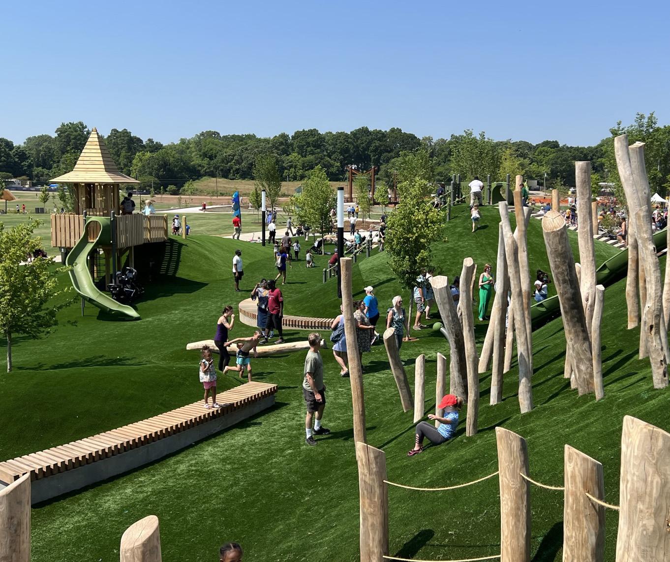
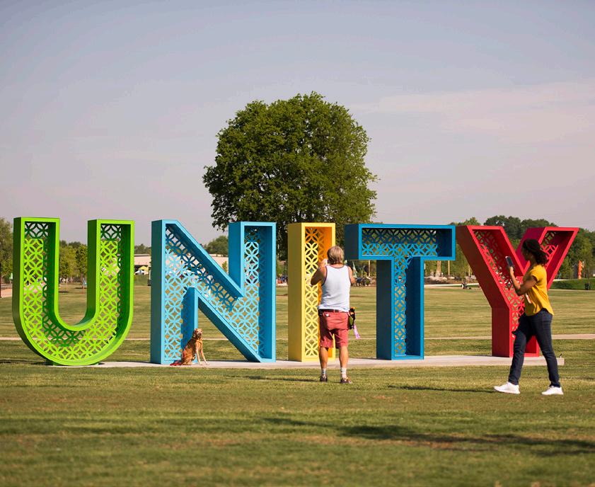
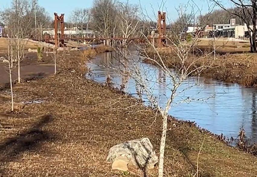
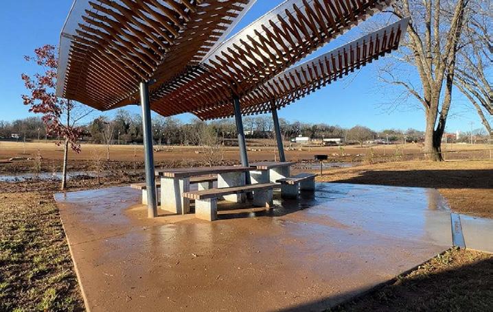
Located in the heart of the Reedy River floodplain, Unity Park was designed to flood. Key flood resilience strategies include but are not limited to:
• excavated floodplain to provide storage and reduce flow
• anchored habitat elements (such as standing snags & logs)
• a combination of anchored woody debris, boulder toe, reinforced soil, and deeprooted vegetation to protect the river channel banks from scour and erosion
• placement of sensitive equipment and park features at higher elevations
• park elements designed to maximize hydraulic openings and minimize impacts to flooding
• high sand soil for rapid infiltration
• landscape graded for planned flood retreat swales


The street network is designed to efficiently guide residents and visitors to and through the River District while creating a series of clearly defined development pads. 19th Street is envisioned as the primary gateway to the River District, while 2nd Avenue, 1st Avenue, and 20th Street facilitate movement to a series of parking structures at the perimeter of the district.
A new roadway segment connecting 1st Avenue to 18th Street further facilitates efficient movement within the district and provides a viable option for ingress, egress, and service beyond 19th Street.

A network of sidewalks, trails, and pedestrian-first streets and promenades facilitate movement to and through the River District.
An extension of the Great River Trail along the waters edge and an extension of the 19th Street multi-use trail provide critical regional trail connections, while meandering paths, generous sidewalks, pedestrian-only promenades, and a shared street condition along 20th Street make moving through the sub-district safe and comfortable.
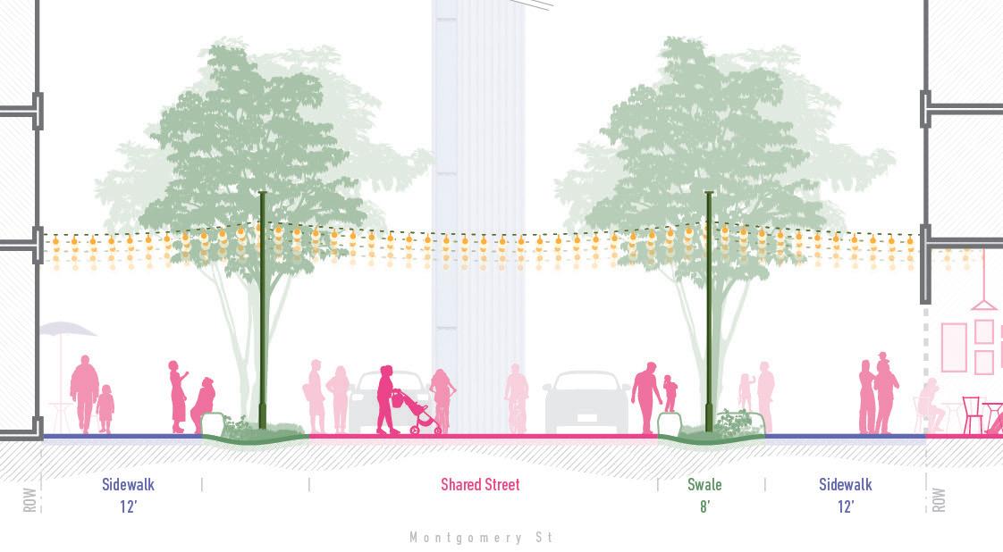
20th Street is a pedestrian-oriented shared street. It creates a curbless, plaza-esque environment complete with generous sidewalks, removable bollards, and well appointed amenity zones.

1st Avenue east of 19th Street is a shared-street condition that seamlessly links the Great River Park to the River District through generous sidewalks and well appointed amenity zones.


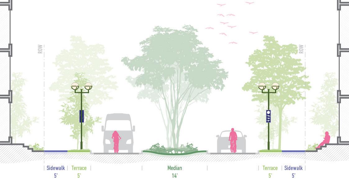
19th Street celebrates arrival to the riverfront by creating a lush green gateway complete with planted medians, artistic gateway sculptures, generous sidewalks and the 19th Street multi-use trail.
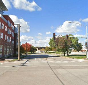

2nd Avenue improves pedestrian connectivity from Bass Street Landing to the Spiegel building through generous sidewalks, well appointed amenity zones, and improved lighting.

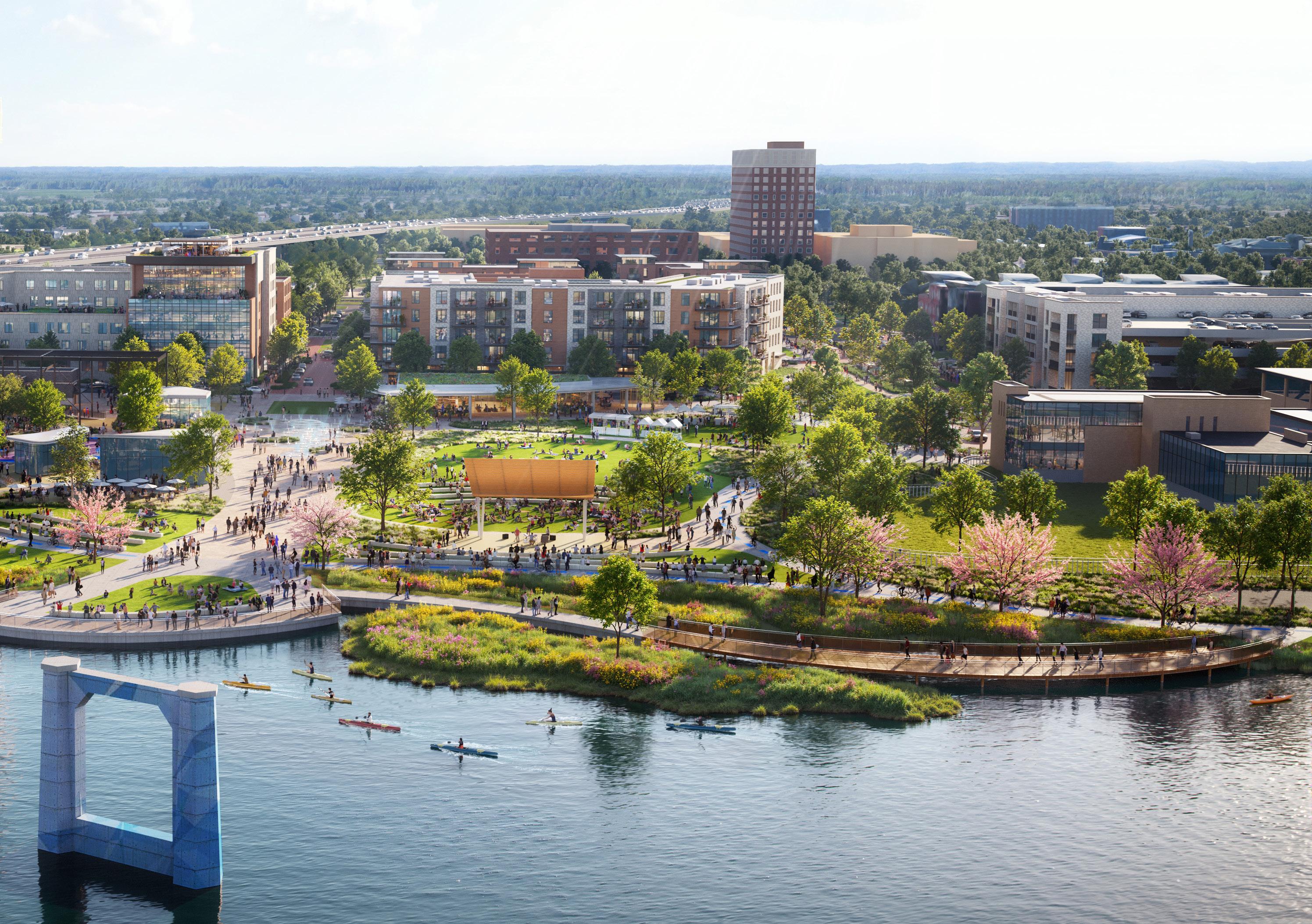
Spread across roughly 10 acres of Mississippi Riverfront, the Great River Park is inspired by the unique ecosystems of the Mississippi River and the River’s special role in Moline’s history. Each piece of the park tells a story about the past while setting the stage for a vibrant and inclusive present and an ever-evolving future.
The park is organized into 5 distinct zones:
• Preserve + Enhance serves as the gateway from the new River District development and a flexible urban plaza centered around the preservation and adaptive reuse of key pieces of the BridgePointe Building.
• Connect + Extend draws park-goers along an active urban promenade to the water’s edge and an overlook providing unparalleled views of the Mississippi River and the arching structures of the I-74 bridge.
• Play + Explore features a series of inclusive and varied play gardens that integrate native landscapes, topography, art, and storytelling elements to craft a multi-generational space for fun and exploration.
• Relax + Gather provides flexible lawn spaces, an earthen ampitheater, and a covered stage for everyday enjoyment and community celebrations small and large.
• Soften + Naturalize features a reshaped and naturalized riverine edge complete with overlooks, boardwalks, nature trails, a kayak launch, and an immersive stormwater wetland that filters, conveys, and treats runoff from the park.

Kayak launch & water access
Boardwalk w/ educational signage
Wetland edge enhances shoreline habitat
Rivers edge seating & terraces
Great River Trail
Play Garden
Native & Naturalistic Plantings


River’s edge paths w/ educational signage
Aquatic habitat
Wetland sill provides habitat and manages stormwater management
Wetland edge seating & terraces
Great River Trail

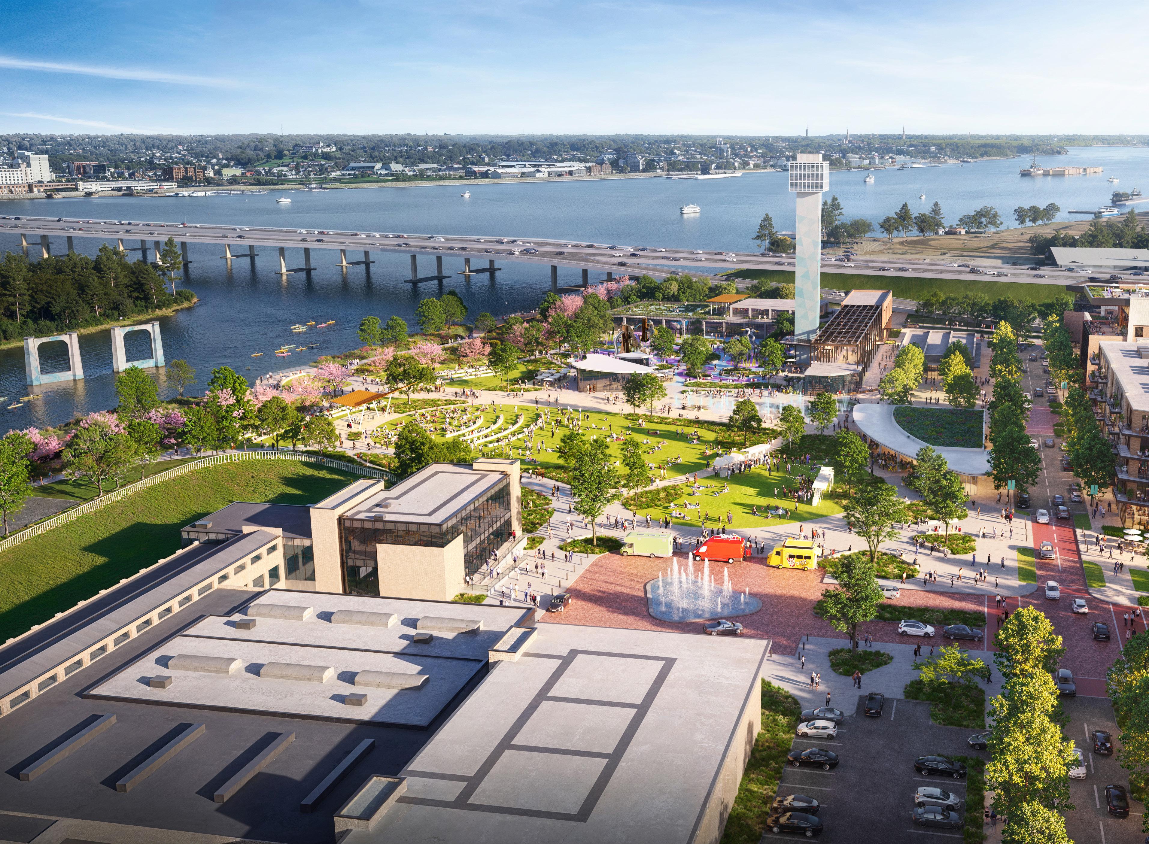
Selective preservation and adaptive reuse of the BridgePointe Building presents an opportunity to ground the site in its industrial past while celebrating the River District’s continued evolution. Through the reuse of the BridgePointe Building’s most historically significant and experientially rich elements Moline can reembrace this landmark, amplify its ability to host year-round programming, and offer a wholly unique way to experience the River District.
The vision for the BridgePointe Building is broken up into three parts, the Ramp & Perch, the Dock, and the Tower.
• The Perch envisions the selective demolition of all but the steel structure for a portion of the existing loading dock on the south end of the building. This structure is transformed to become a gateway for the Great River Park and a flexible space suited for any variety of uses –from art installations, seasonal markets, and beyond. Attached to this steel frame is a series of ramps and elevated platforms that provide visitors with elevated and ever-changing views of the River District.
• The Dock repurposes a remnant of the original building into an enclosed tenant space, accessible via the Ramp & Perch.
• The Tower proposes preservation and celebration of the most iconic and recognizable feature within Moline’s River District. The following pages highlight some of the options considered for the future of this prominent piece of Moline’s skyline.


Throughout the planning process, multiple concepts were explored for the adaptive reuse of the Tower, each grounded in community feedback and the structure’s iconic presence on the riverfront. These included:
• Tower as an Observatory, offering public access to the top as a scenic overlook.
• Tower as a Beacon, featuring artistic lighting to elevate its visual prominence.
• Tower as an Interactive Element, repurposing the lower levels and façades as engaging, tactile experiences.
To guide future design decisions, several overarching principles were established for any reuse of the Tower:
• The preferred long-term use of the Tower is as a publicly accessible observatory, as voiced by the community.
• Any renovation should respect and preserve the character of the existing structure.
• If upper-level access is pursued, a stair will be required to meet fire safety standards. If an exterior stair is proposed, its scale, materiality, and visual impact must be carefully considered to preserve the Tower’s integrity and its relationship to the surrounding public space.
• Artistic interventions, recladding, or enhancements should support the Tower’s role as a cultural landmark without overpowering its historic form.




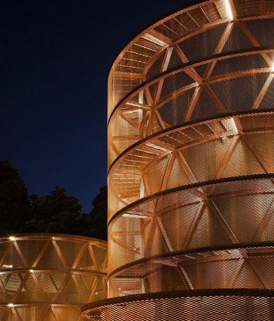


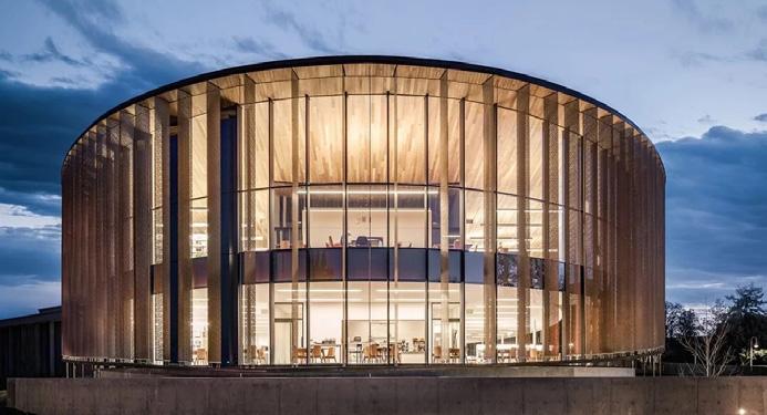
The Riverfront District is envisioned as a mixed-use destination on the banks of the Mississippi River. Featuring a mix of residential, hotel, retail, and dining in a walkable, inviting neighborhood, the district is positioned as a key destination to bring new life and energy to Moline’s River District. Adaptive reuse of the Spiegel Building shine’s a light on the sites industrial heritage, while new development of varying scales and uses activate outdoor plazas and passages. These common areas bind the district together and create space for everyday enjoyment and special programming, firmly positioning it as a cultural hub for Moline.

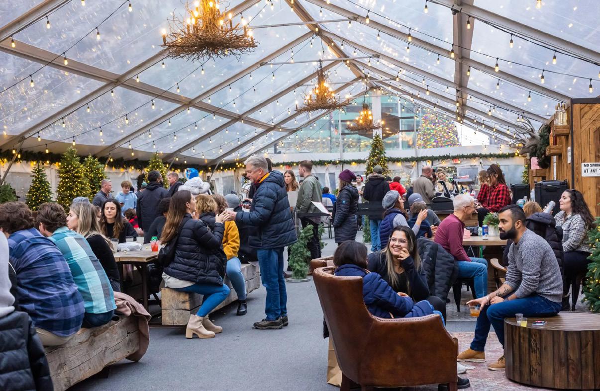


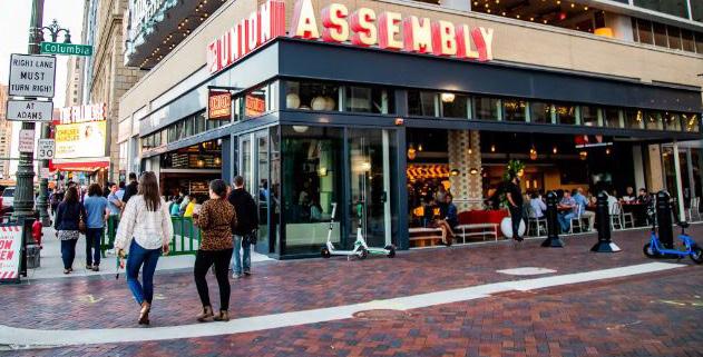
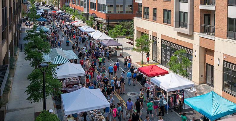
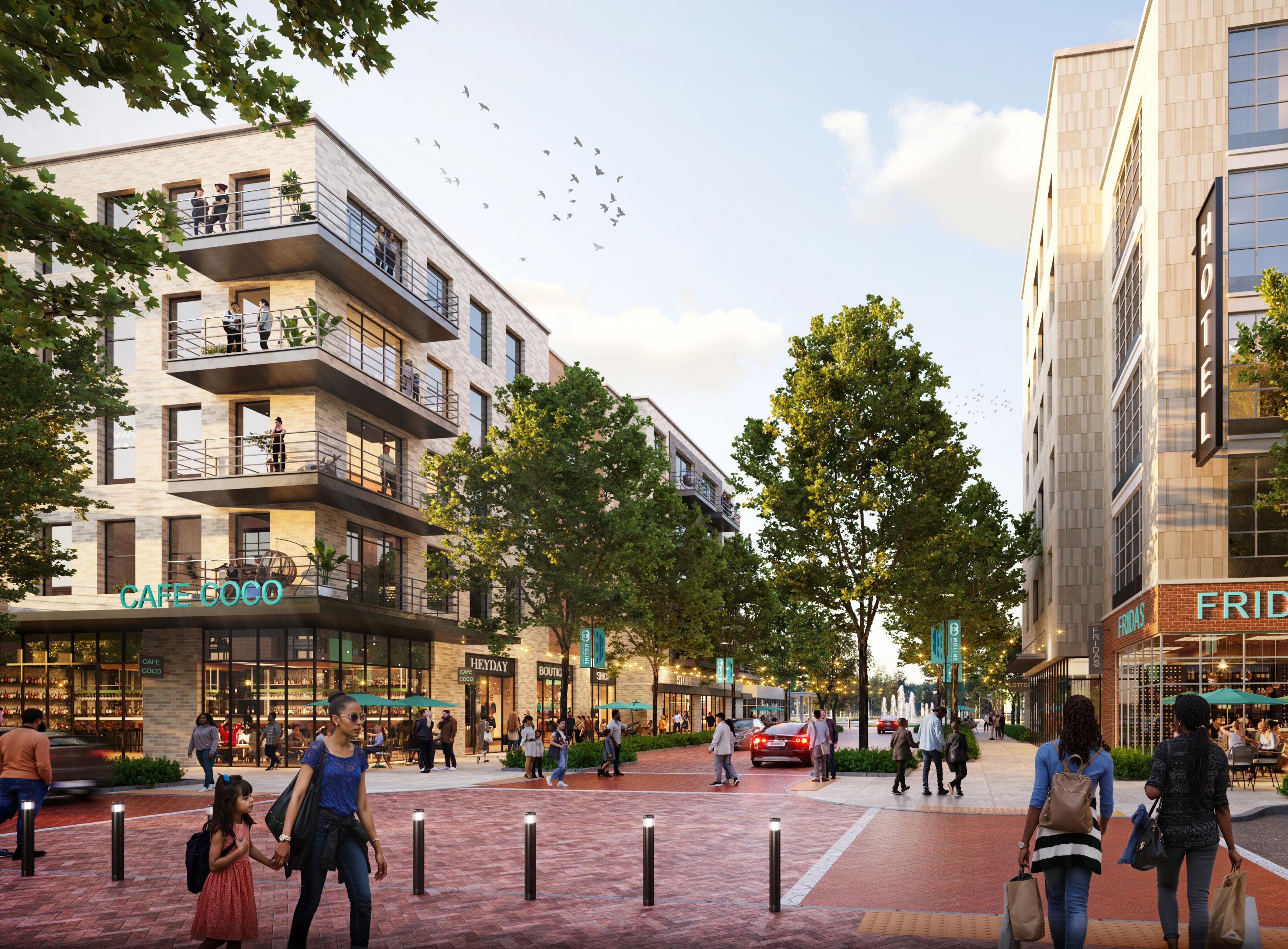
Varied Scales of Mixed-Use Development

Where the Riverfront & Moline Centre Meet.
The Gateway District, I-74 Corridor, 5th Avenue Hub, and River East sub-districts makeup “River-Centre.” The vision for these sub-districts is to become both a bridge and a destination. It is envisioned as a place that binds east to west and north to south, while cultivating a thriving community steps from the River District.
The Gateway District greets visitors exiting I-74 and traveling west on River Drive with mixed-use development and community uses including an arts-centered gateway plaza beneath the bridge. The I-74 Corridor is reimagined as a green gateway and connector complete with parks, public spaces, and trails running along its length. It provides much needed neighborhood-scale amenities and spaces for the growing communities on either side of the overpass.
The 5th Avenue Hub vision densifies the east terminus of the Downtown Commercial Historic District with arts centered mixed-use development building on existing nearby cultural institutions and encourages movement between the River District and commercial core of Moline Centre. River East is envisioned as a neighborhood-scaled mixed-use district that supports the growth and expansion of existing commercial uses along 5th Avenue and provides future residents with a diverse range of housing options.
The following pages explore the vision for Moline’s RiverCentre sub-districts.
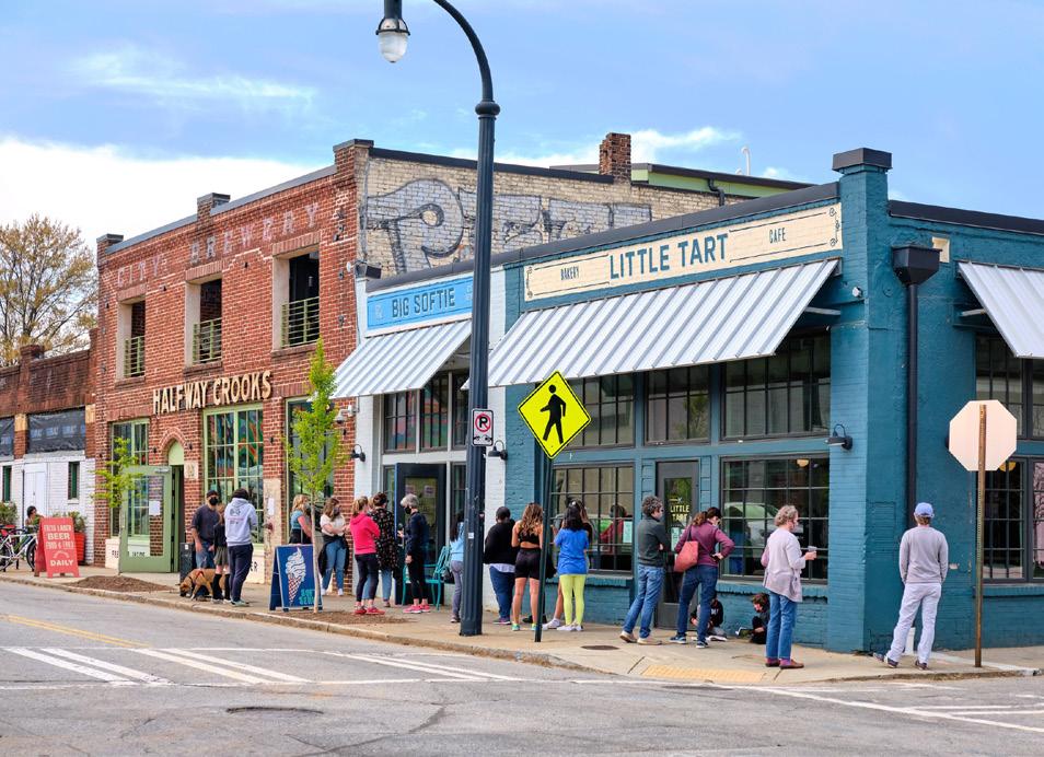
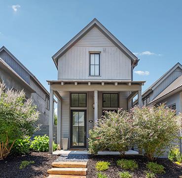
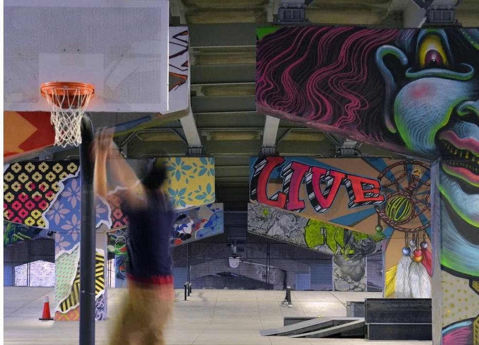


The I-74 Corridor is reimagined as a connected series of public spaces that unites rather than divides the RiverCentre sub-districts and creates a green gateway to Moline Centre and the River District.
Density and multi-modal improvements are concentrated along major corridors including River Drive, 19th Street, 23rd Street, 5th Avenue, and 4th Avenue to create safe, comfortable, and welcoming streets that facilitate movement to and from the River District.

Movement across and through River-Centre is challenging due to the freight rail line running parallel to 4th Avenue and the mix of on/off ramps, structural supports, and topography created in service of the new I-74 overpass and bridge.
The exhibit below highlights these barriers and how this vision sensitively knits program and paths within a challenging infrastructural landscape to improve connectivity and community cohesion.


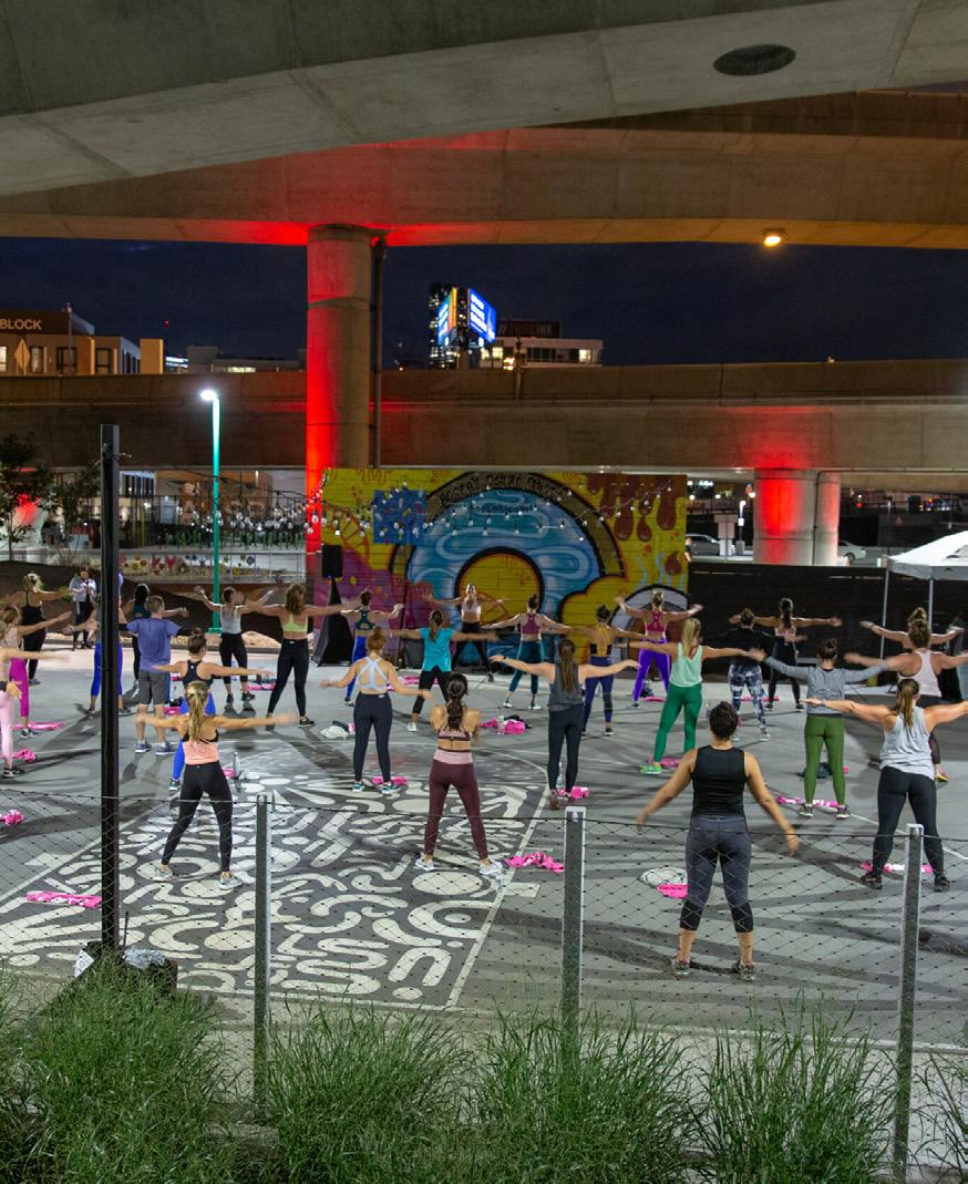
The I-74 Corridor is reimagined as the connective tissue that binds both sides of the interstate and a gateway to Moline Centre and the Riverfront. Vibrant, artful public spaces greet travelers exiting the interstate – a “Gateway Plaza” that links development sites in Moline Centre Gateway and a “Gateway Park” that provides neighborhood-scaled amenities to River-Centre. A series of active, energetic spaces beneath the interstate build on the Skate Park (currently proposed) and provide opportunities for active recreation shielded from the elements. Naturalized landscapes and linear greenspaces buffer the interstate and provide pockets of recreational amenities across the corridor.


River-Centre is envisioned as a mixed-use, neighborhood-scaled district that transitions from the density of the River District to the residential scale of existing neighborhoods east and south of the study area. It concentrates density on key connective corridors and encourages infill development of row and yard buildings elsewhere to improve urban housing options steps from the River District. New mixed-use commercial centers are envisioned along 5th Avenue, both east and west of the interstate, to build on existing momentum and draw residents and visitors to and through the area.
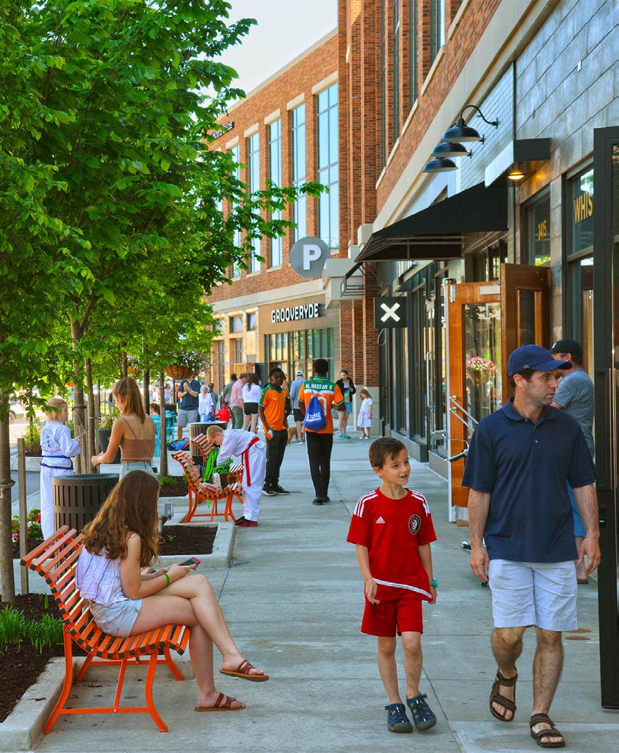
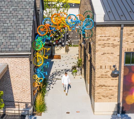

Key connections are proposed in River-Centre to build a more cohesive and connected street network that facilitates efficient movement through the area and clearly defines development pads.
Additional vehicular connections between 19th Street and 23rd Street and to River Drive are of key importance to the viability of the Gateway District given the current lack of ingress and egress to these development sites (note: coordination with IDOT is underway and ongoing, with new vehicular connections to River Drive at 20th Street and the I-74 Westbound on-ramp pending approval from IDOT District 2). An extension of 22nd Street to 4th Avenue relieves stress on existing roadways and improves connectivity within River East.

A network of sidewalks, trails, pedestrian plazas, and accessible crossings facilitate movement to and through River-Centre.
The 19th Street multi-use trail provides critical regional trail connectivity, while additional bike facilities along 4th Avenue (proposed in prior planning initiatives), 7th Avenue, 23rd Street, and 5th Avenue build an integrated local network. Accessible crossings and a complete network of sidewalks are proposed across River-Centre. Paths are envisioned along the I-74 corridor, along with a pedestrian underpass beneath 4th Avenue and the freight rail, to improve north south connectivity and tie together the public spaces proposed along the interstate.

7th Avenue / 23rd Street is a critical link to the Riverfront for neighborhoods east of I-74 complete with generous sidewalks, multi-use trails, wayfinding, and lighting.


19th Street is enlivened with pedestrian scale artwork from 7th Avenue to River Drive - including creative crosswalks, small-scale installations, and large-scale sculptures.


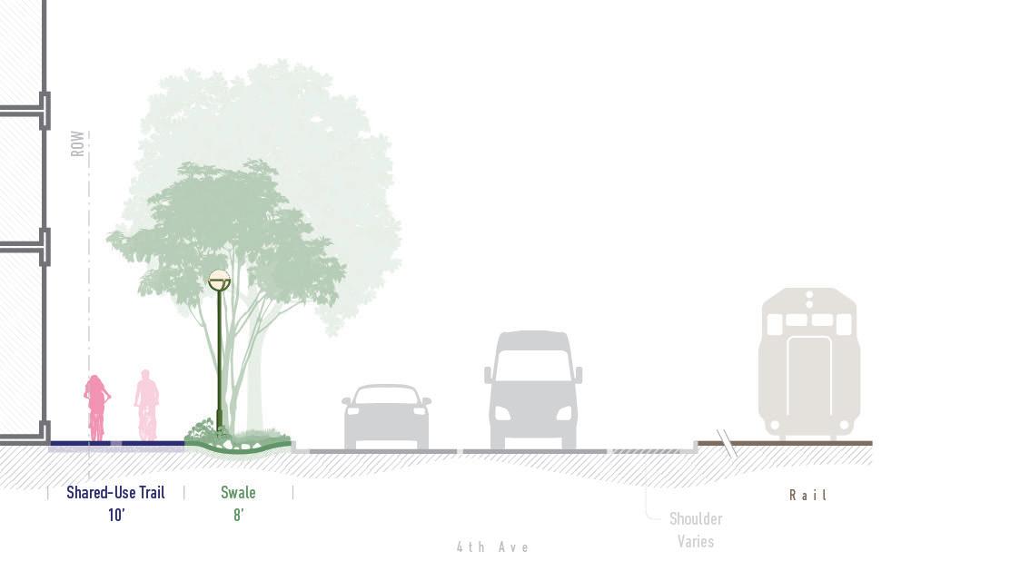
4th Avenue improves pedestrian and bike connectivity through the addition of an off-street multi-use trail, well appointed vegetated buffer, wayfinding, and improved lighting.

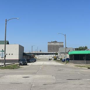
5th Avenue east of 23rd Street is a lush boulevard complete with landscaped median, on-street bicycle faculties, wayfinding, and lighting.
Realizing the vision for a vibrant, mixed-use riverfront will require strong collaboration and shared commitment.
The City of Moline will need to work closely with a wide network of partners, including property owners, business owners, developers, Rock Island County, MetroLINK, the Illinois Department of Transportation, the US Army Corp of Engineers, the Moline Community Development Corporation, the Quad Cities Chamber of Commerce, and others to advance public realm improvements and shape the character of the district.
Policy development and program implementation will involve coordinated efforts from City staff, the City Council, the Planning Commission, and key organizations such as Renew Moline and Visit Quad Cities. Together, these groups can champion initiatives that align with the vision set forth in this plan.
A coordinated development strategy, such as a master developer agreement, can help ensure that new investments are cohesive, complementary, and consistent with the community’s goals. Continued public engagement will also be essential, providing opportunities for residents and stakeholders to shape the district as it evolves.
Delivering an iconic and inclusive riverfront for Moline will take more than a plan. It will take a coalition of leaders committed to making it real.

