Parks, Recreation, Trails, and Open Space Master Plan
THIS PAGE INTENTIONALLY LEFT BLANK
Parks, Recreation, Trails, and Open Space Master Plan
THIS PAGE INTENTIONALLY LEFT BLANK
City of Royse City Contact:
Andrew Ainsworth, Parks & Community Programs Manager
100 W Main Street
Royse City, Texas 75189
Office: 972.636.2250
MHS Planning & Design Team:
Hunter Rush, Senior Planner & Partner
Zach Clark, Planner
Jonathan Povoski, Graphic Designer
12222 Merit Drive, Suite 1560
Dallas, Texas 75251
Office: 214.845.7008
THIS PAGE INTENTIONALLY LEFT BLANK

The City of Royse City and MHS Planning & Design, LLC would like to thank the following City Leaders and Staff, community members and volunteers for their time and input throughout the development of Royse City’s Parks, Recreation, Trails, & Open Space Master Plan.
City Council (current)
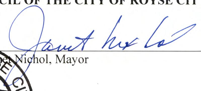
Janet Nichol - Mayor
Michael Holder - Council Place 1
Clay Ellis - Mayor Pro Tem, Council Place 2
Russell Summers - Council Place 3
Matt Wheatley - Deputy Mayor Pro Tem, Council Place 4
James Branch - Council Place 5
Tom Crowley - Council Place 6
Parks, Recreation, & Arts Board (current)
Wendy Johnson - Chair
Carley Newlin - Vice Chairperson
Taylor Roberts
Logan Riley
Micah Cano
Ashlee Burke
Janet Nichol - Mayor & Council Liaison
Bruce Bradley - Past Council Liaison
Michael Summers - RCISD Ex-Officio
City Administration
Carl Alsabrook, ICMA-CM - City Manager
Shannon Raymond, CGFO - Assistant City Manager / CFO
Andrew Ainsworth - Parks and Community Programs Manager
Martin Torres Jr. - Parks and Facilities Superintendent
Yosab Habtemariam - Civil Engineer
City Council
(during plan development)
Clay Ellis - Mayor
Michael Holder - Council Place 1
Janet Nichol - Deputy Mayor Pro Tem, Council Place 2
Bruce Bradley - Mayor Pro Tem, Council Place 3
Matt Wheatley - Council Place 4
James Branch - Council Place 5
Tom Crowley - Council Place 6
Parks, Recreation, & Arts Board
(during plan development)
Wendy Johnson - Chair
Taylor Roberts
Carley Newlin
Logan Riley
Janet Nichol
Bruce Bradley - Council Liasion
Michael Summers - RCISD Ex-Officio
A special thanks to Royse City residents for their participation and input during the development of this plan!
Royse City is experiencing significant growth, and city staff and leaders determined the need to develop a plan to address existing and future recreational needs. An inventory of the park system was conducted to assess current recreational opportunities. To ensure the plan is reflective of the community’s needs and vision, city staff engaged with residents extensively through surveys and public meetings. Priorities, recommendations, and an implementation schedule have been developed to provide a tool for the City to improve recreational opportunities and quality of life for the community. A high level summary of the plan can be found on the following pages.
Royse City’s population reached 17,357 in 2023, an increase of 86% from 2010.
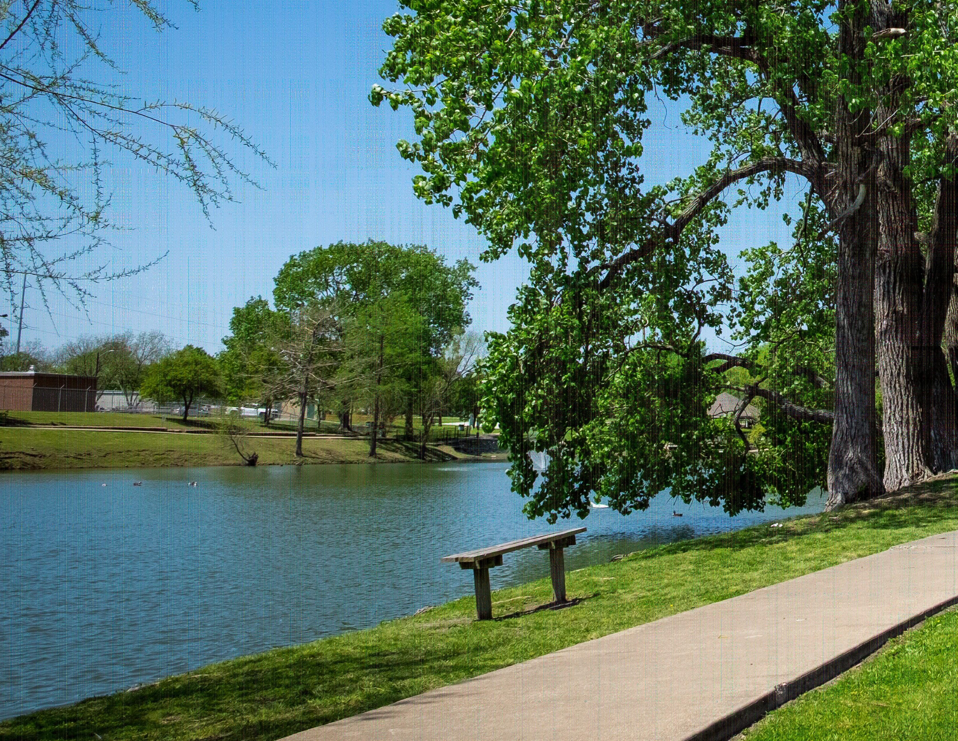
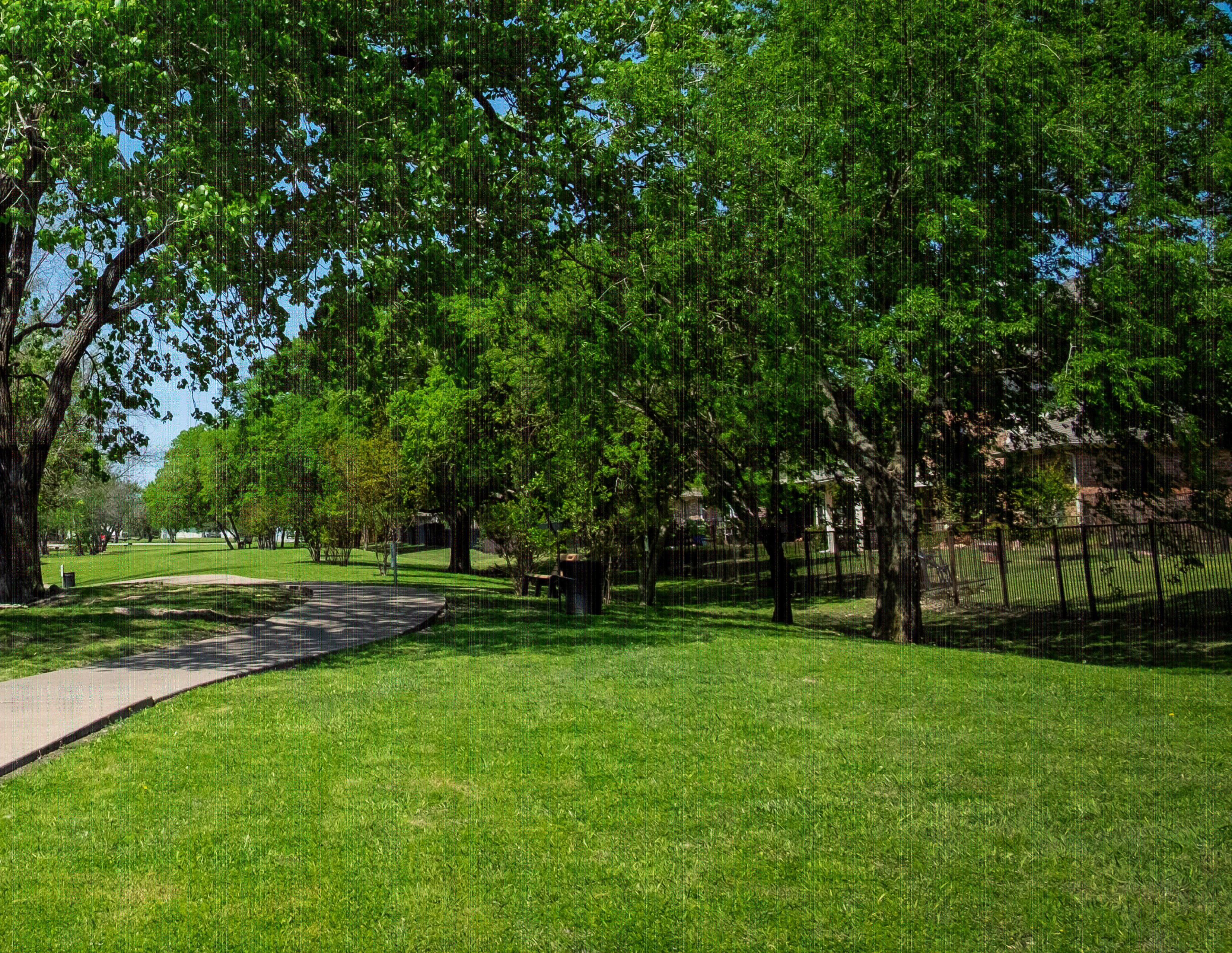
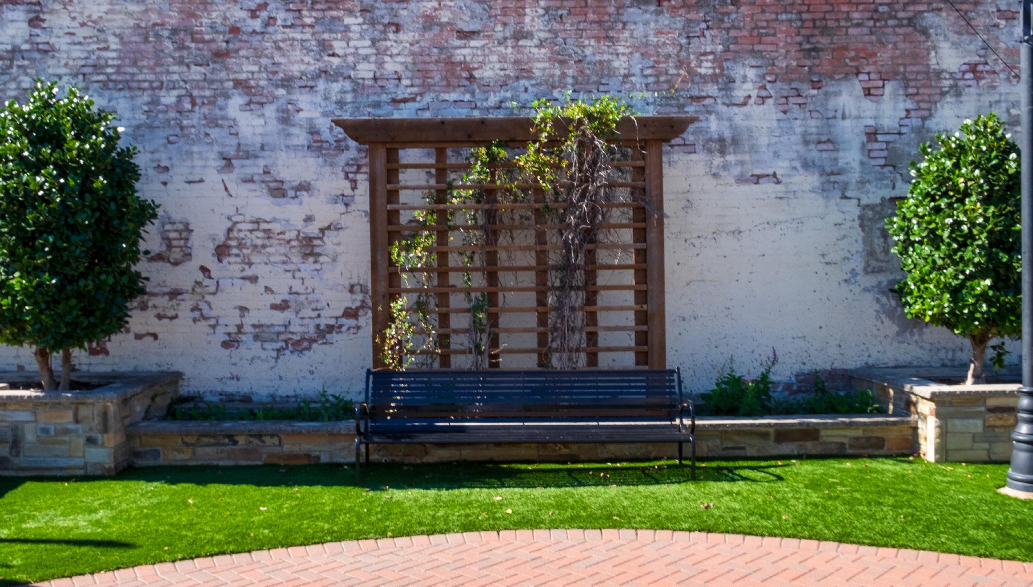
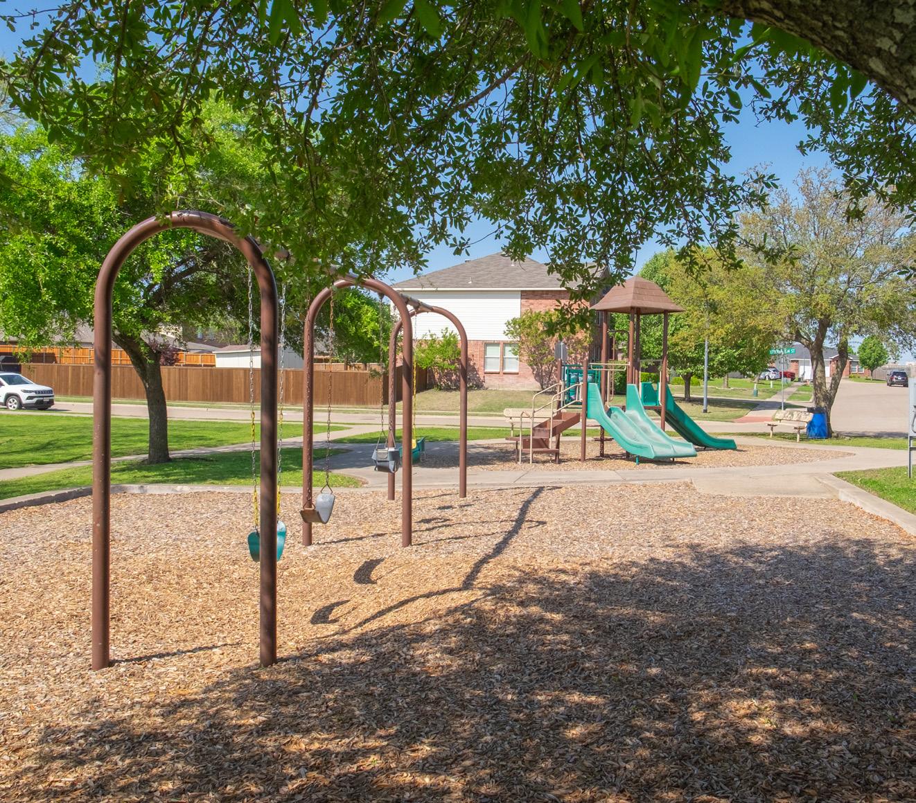
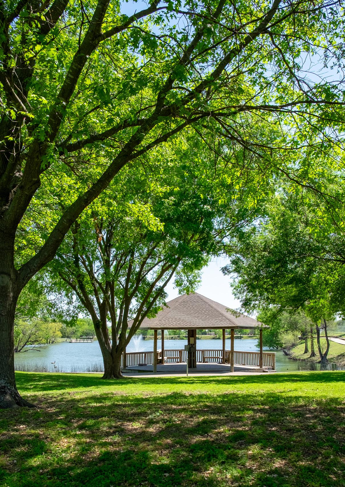
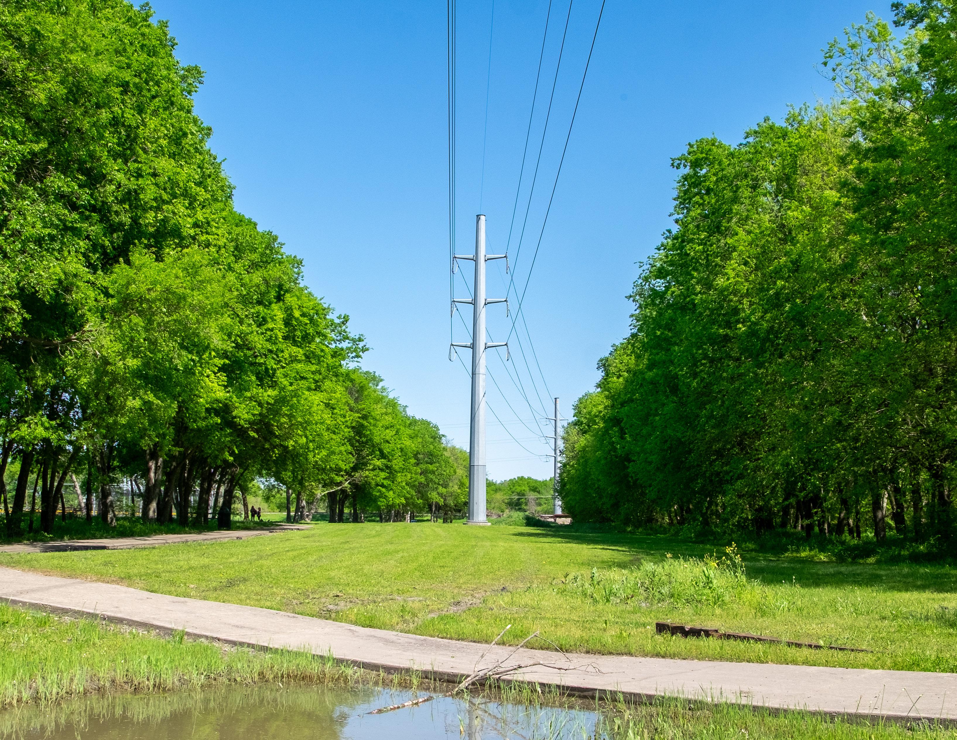
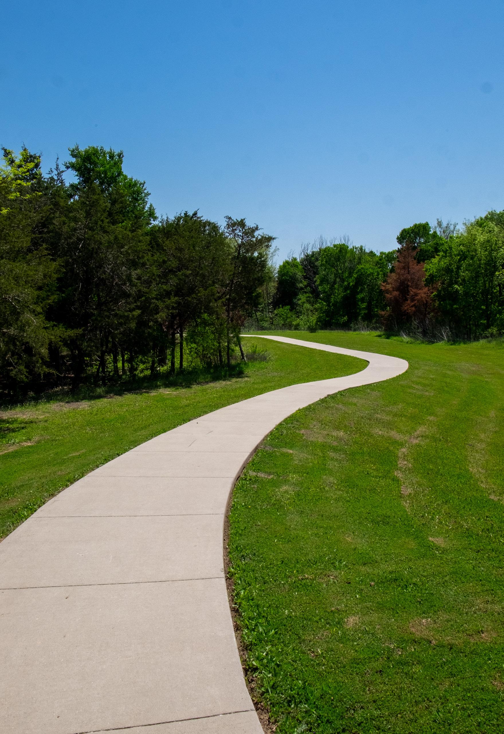
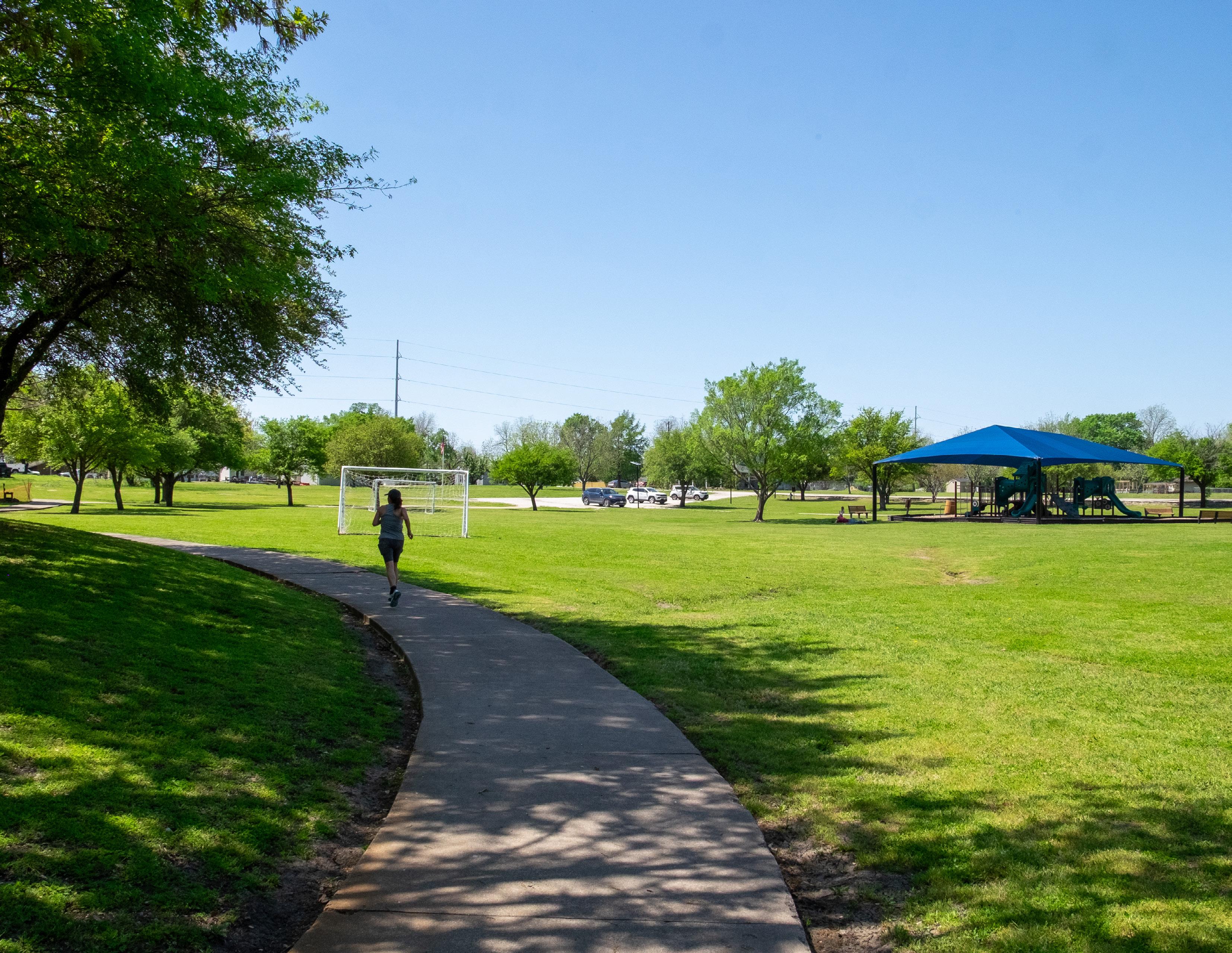
Royse City’s park system is approximately 103 acres and includes 13 parks and park facilities. The City has several opportunities to expand and better activate the park system because nearly 45% of the City’s land is undeveloped. The park system primarily consists of neighborhood and special-use parks, and lacks a large community or regional park that would serve a wide range of users. Royse City provides approximately 1.95 miles of trails; however, this network is fragmented as they are primarily looped trails within parks.
13
Royse City residents have a median age of 33.3 years old.
41% of Royse City households have at least one person under the age of 18.

Townhall Meeting
Royse City developed a wide variety of opportunities to best engage with the public, including:
• Two Townhall meetings
• Four focus group meetings
• Two community surveys
• One pop-up event
To which extent do you agree with the following statements:
“Royse City provides an adequate number of parks.”
Strongly Agree
Neither Agree nor Disagree Disagree
Strongly Disagree
“Existing parks should be upgraded.”
Strongly Agree Agree
Neither Agree nor Disagree Disagree
Strongly Disagree
Overall, the community would like to the City to develop additional parks and provide upgrades to existing parks.
The City has the foundation for a great park system; however, the community expressed several needs that should be addressed, including:
• the development of a large community park
• the improvement of existing parks
• the expansion of the trail network
While the City provides several parks, most of them are fairly small and serve a specific group of users. The community wants a large community park that would provide diverse and inclusive recreational amenities that would provide park users for several hours at a time.
While many of the existing parks should serve the community, they lack a unique and inviting environment. There are several challenges the City faces regarding parks such as: flooding, drainage, unsafe terrain, and unimproved parking.
Trails are heavily desired by the community, and while multiple parks provide them, a large number of residents are unaware of or do not use them for various reasons. Residents would like to see an expanded and connected trail network.
Priorities have been identified that should be incorporated at new and existing parks to elevate the park system.
Park System Priorities
A list of recommended projects has been created to efficiently implement improvements to the park system. A detailed schedule with a list of proposed projects and amenities, including estimated costs, can be found in Chapter 8.
This schedule is intended to be a flexible guide to assist in budgeting and decision making. If new opportunities arise that vary from the implementation schedule, the City should consider pursuing the project if feasible.
Schedule Overview
Becknell Park
Briarstone Park
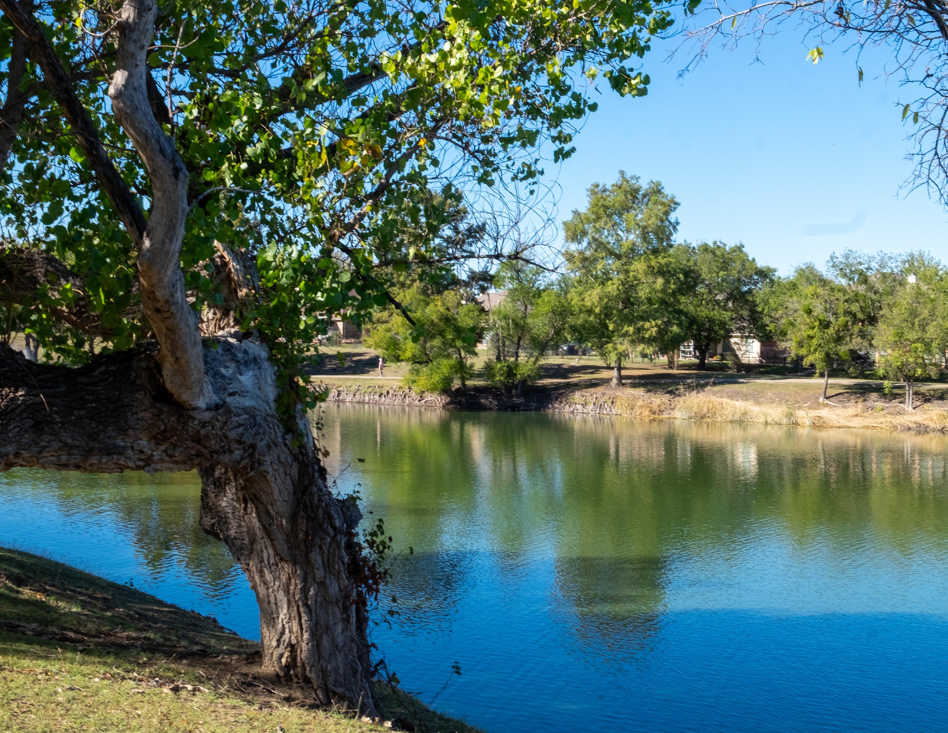
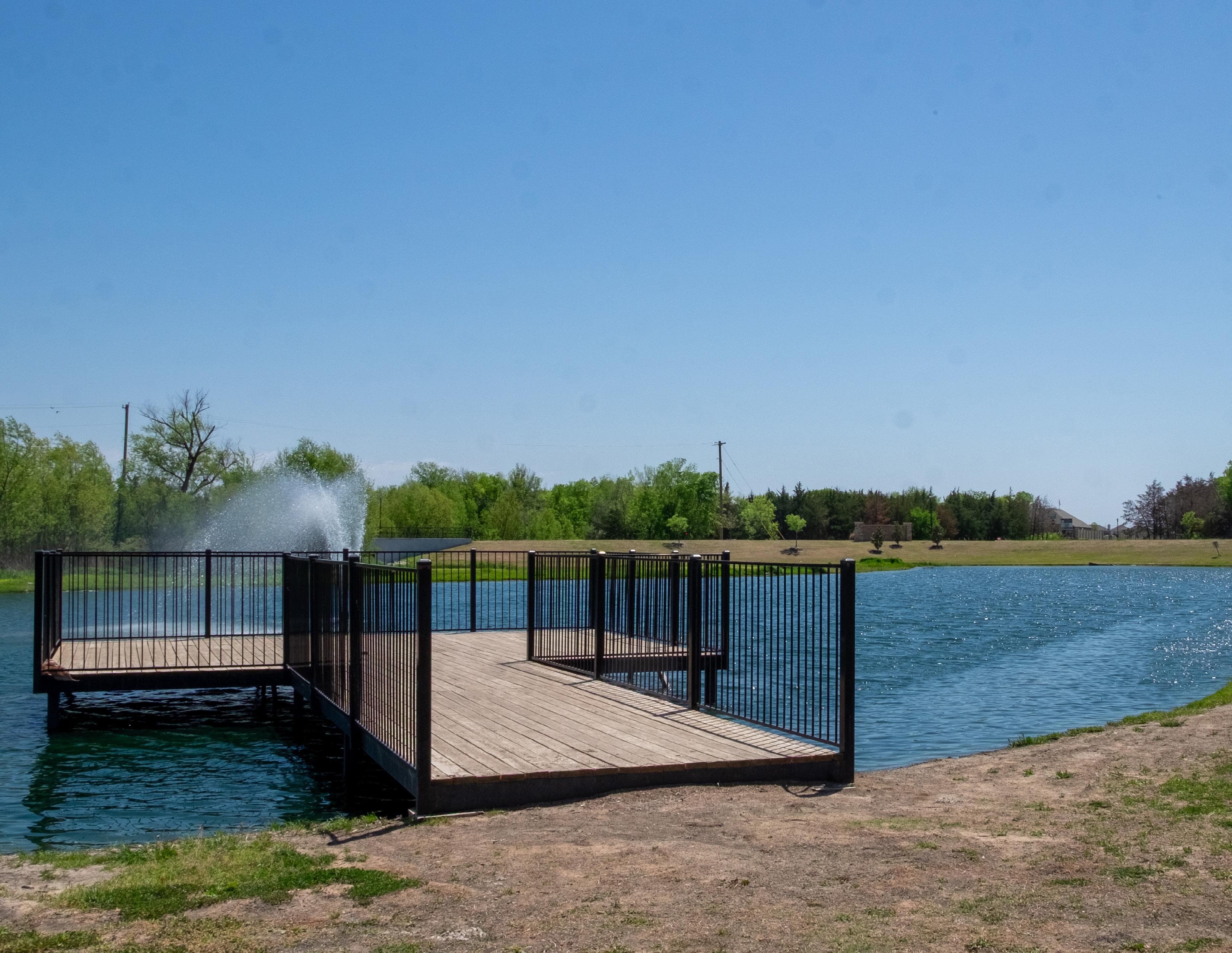
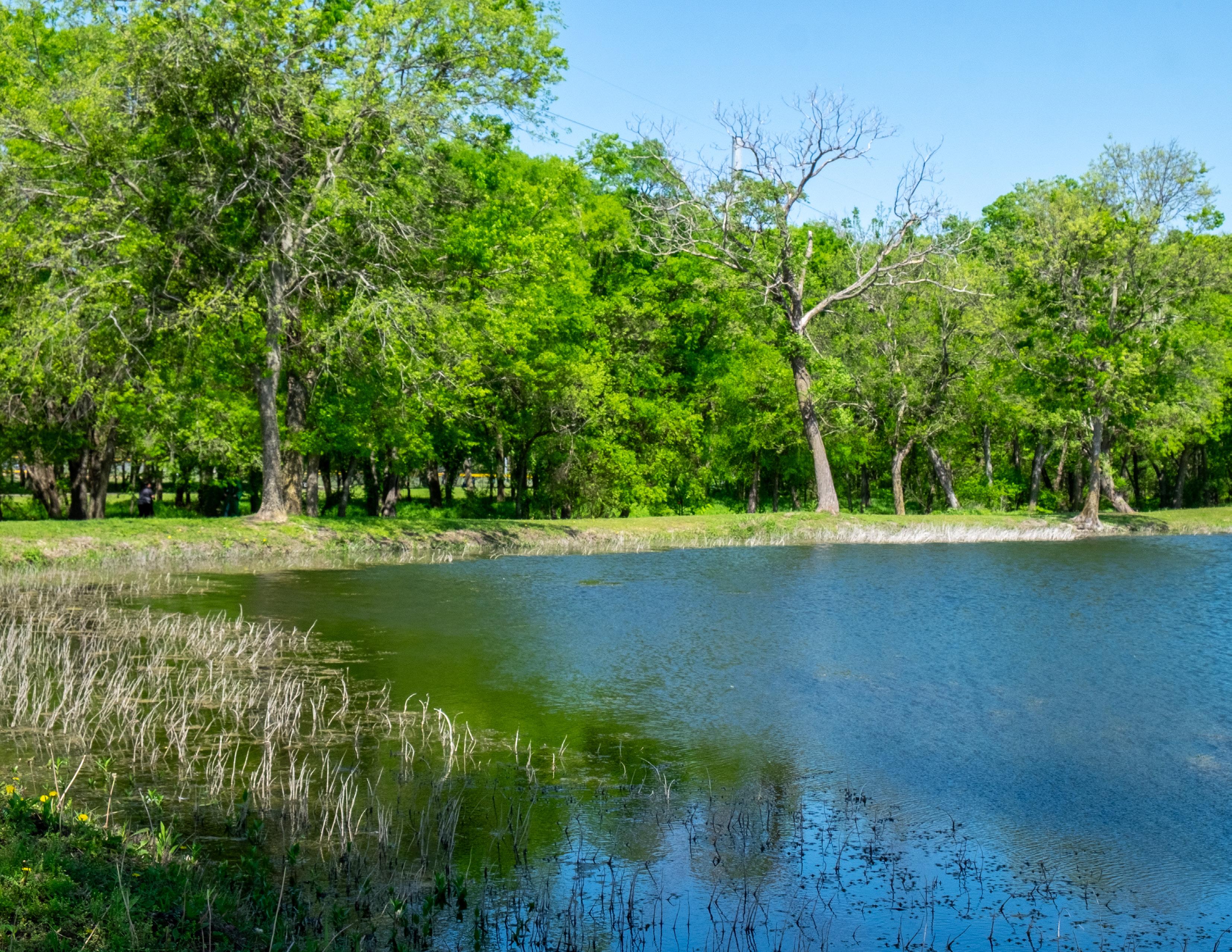
City Lake Park
Cookston Court
Creekshaw Park
Fox Fields Park
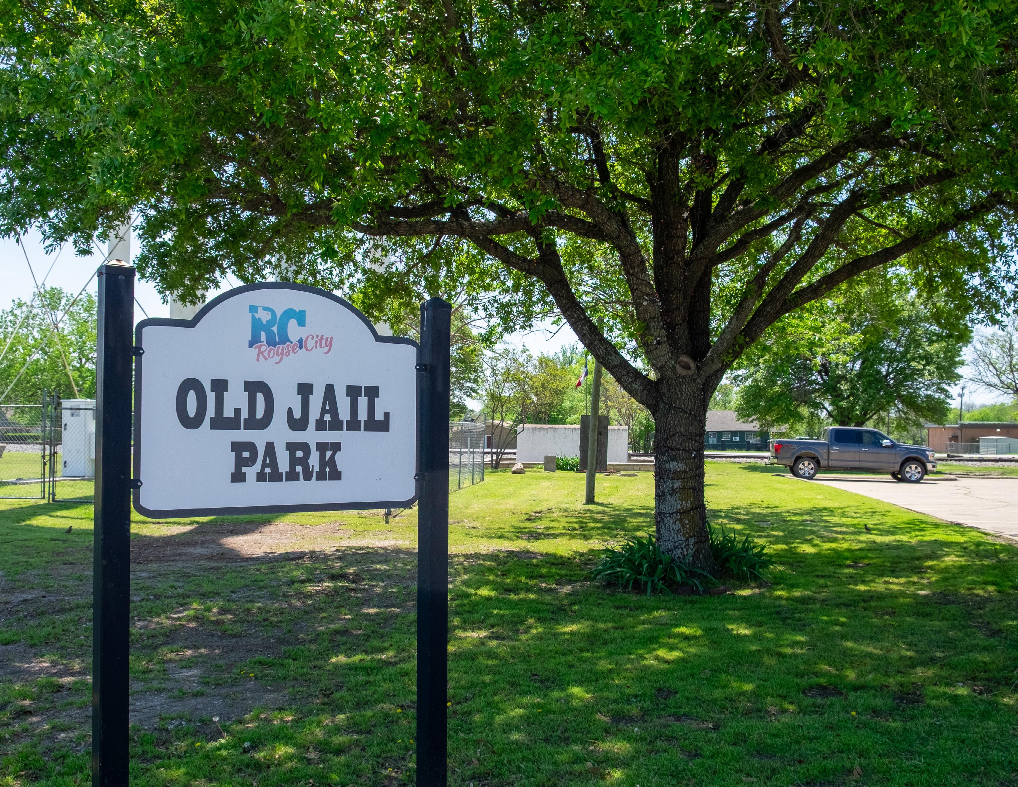
Old Jail Park
Old Mill Park
Park
Splash Park
Walker Hawk
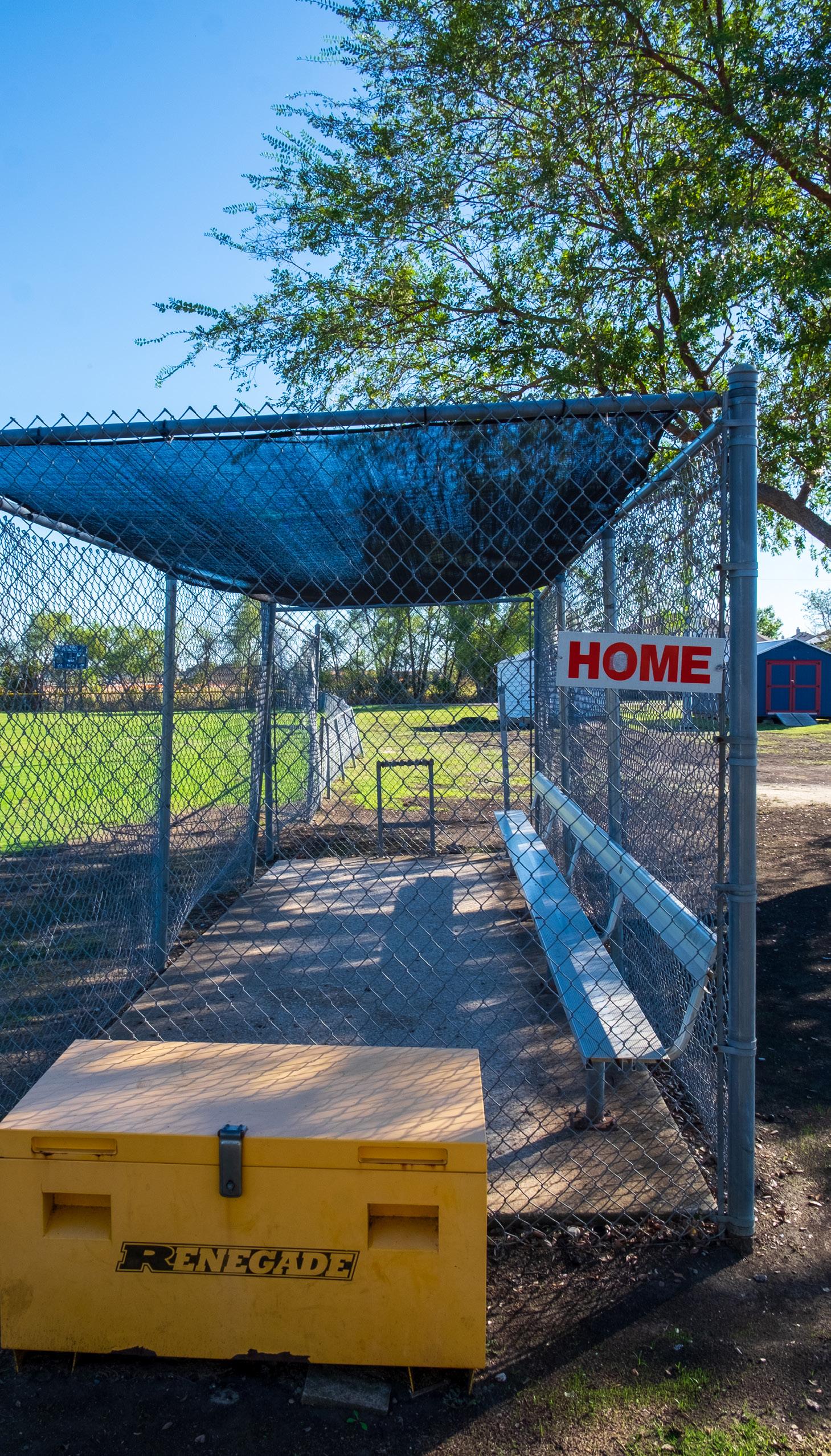
Sports Complex
Regional Park
Linear Parks*
*Linear Parks may be developed with all five stages identified above.
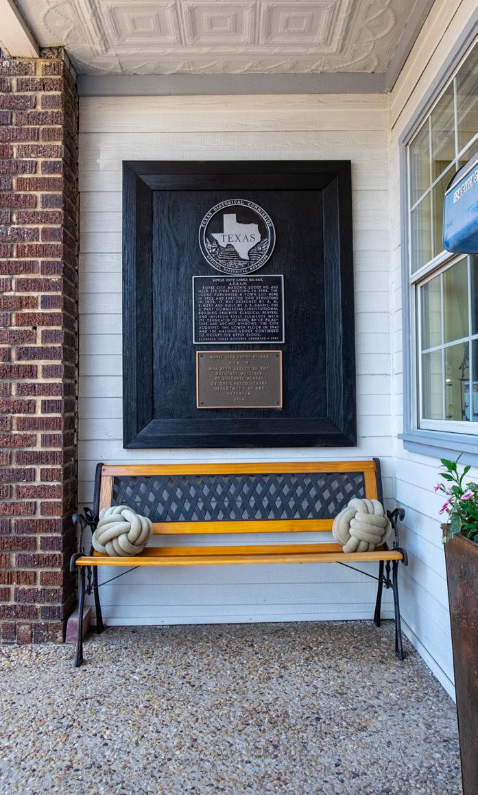
Royse City’s 2025 – 2035 Parks, Recreation, Trails, and Open Space Master Plan is the city’s first plan in almost 20 years specifically focused on the park system. The City developed a Parks, Recreation, and Open Space Master Plan in 2007, and discussed the park system in the 2017 Comprehensive Plan. The City’s Comprehensive Plan identified the need to expand and improve the park system, which led to the development of this plan.
This plan builds upon previous city and county plans and provides a comprehensive understanding and overview of Royse City’s park system. An understanding of the park system provides city staff and other decision makers with opportunities that best improve the parks system to meet the recreational needs within the community.
Royse City has experienced significant growth since 2007, and while the park system previously provided sufficient recreational opportunities for the community, the park system has not developed concurrently with this growth in population. This master plan should serve as a guide for decision makers and city staff to make improvements to the park system, including opportunities for land acquisition, development of new parks and trails, and improvements to existing parks.
The purpose of this master plan is to:
• Understand the existing conditions of the park system and the demographics of the community.
• Identify where and what type of recreational gaps exist within the community.
• Establish and prioritize recommendations to best address the recreational gaps.
• Provide city staff with a living document to be frequently utilized to ensure projects are implemented.
• Identify funding sources to implement these projects.
This plan is designed to ensure Royse City’s park system offers a diverse range of recreational opportunities while promoting equitable access for all residents.
Parks and open spaces are crucial assets for communities. These spaces provide countless benefits, including positive impacts on the economy, quality of life, environment, and health of the community. These benefits make it all the more important for cities to continue monitoring and enhancing their park system.
Economic Impact: Parks and open spaces can have direct and indirect positive impacts on the economy.
• U.S. Park and Recreation Agencies generated $201 billion in economic activity and supported more than 1.1 million jobs in 2021.1
• Sports tourism generated more than $90 billion in economic impact in the U.S. in 2021. 2
• Homes located near passive parks are associated with an 8-10% increase in property value.3
of
Parks and open spaces improve the quality of life for the community and attract businesses and residents.
• 87% of corporate executives say quality of life is a key factor in decisions about new facilities, expansions, or relocations.1
• 75% of U.S. adults report that access to nearby parks or recreation facilities is important when choosing where to live.4
• A study of 47 schools in California found that Safe Routes to School infrastructure improvements resulted in a 75% reduction in collisions involving people of all ages walking and biking.5
Environmental Impacts: Parks and open spaces play a vital role in protecting and preserving the natural environment.
• Tall and dense roadside vegetation can reduce downwind pollutants by up to 30%. Trees further improve air quality by lowering energy consumption which in turn reduces fossil fuel pollution.6
• Trees and vegetation in parks help reduce air pollution directly by removing pollutants and reducing air temperature. 1
• Trees and vegetation provide food and temporary shelter for birds and other wildlife. This is especially important for rare, threatened, or endangered animals found in Royse City such as the Brewer’s Blackbird, Common Grackle, Loggerhead Shrike. 7
1. NRPA, “Parks and Recreation is Essential”
2. Sports Events & Tourism Association, “State of the Industry Report (2021)
3. NRPA, “How Much Impact Do Parks Have on Property Values?” (2020)
Health and Well-being Impacts: Parks and open spaces create opportunities for community members to engage in recreation and build relationships amongst one another.
• Approximately 34% of Texans are obese and parks can promote health by providing opportunities for exercise, reducing the risks of obesity and other cardiovascular diseases. 8
• Walking, park prescriptions, community gardens, and farmers’ market vouchers may promote nature contact, strengthen social structures, and improve long-term mental and physical health by activating intrapersonal, interpersonal and environmental processes. 1
• In 2018 only 16% of Americans felt very attached to their local community. Parks can foster a stronger sense of community by serving as gathering spaces for local events that connect residents. 9
4. NRPA, “U.S. Adults Say Parks and Recreation Is A Necessary and Important Service” (2022)
5. David Ragland, S Pande, J Bigham and FJ Cooper., “Ten years later: examining the long-term impact of the California Safe Routes to School program.” (2014)
6. Deshmukh, P., Isakov, V., Venkatram, A. et al., “The effects of roadside vegetation characteristics on local, near-road air quality.” (2019)
7. Texas Parks and Wildlife Department
8. Centers for Disease Control and Prevention (CDC)
9. Office of the Surgeon General (OSG), “Our Epidemic of Loneliness and Isolation: The U.S. Surgeon General’s Advisory on the Healing Effects of Social Connection and Community” (2023)
Texas Parks and Wildlife Department (TPWD)
As previously noted, this is Royse City’s first comprehensive parks and recreation master plan following the 2007 – 2017 Parks, Recreation, & Open Space Master Plan. TPWD will review and approve parks and recreation master plans for communities throughout Texas as long as it meets the local and State goals.
Parks and Recreation Master Plans are typically developed for a ten-year period; however, TPWD recommends an update to the plan after five years with the development of a new plan every ten years. Updating the plan after five years is crucial as it ensures the City’s vision continues to reflect the needs and desires of the community. It is beneficial for communities to have TPWD approved Parks and Recreation Master Plans when seeking grant funding, as this document can help communities be more competitive in applying for State and Federal funding.
TPWD requires the following in Parks and Recreation Master Plans:
• Introduction: Chapter 1
• Goals and Objectives: Chapters 1 and 6
• Plan Development / Public Input Process: Chapter 4
• Area and Facility Concepts and Standards: Chapter 3
• Inventory of Areas and Facilities: Chapter 3
• Needs Assessment and Identification: Chapter 5
• Plan Implementation and Prioritization of Needs: Chapters 5 and 8
• Illustrations, Maps, Surveys, etc: Chapters 2, 3, 4, 5, 7, and 8
• Proof of Adoption: Page VI
• Plan Duration and Five-Year Update
Commission for the Accreditation of Parks and Recreation Agencies (CAPRA)
CAPRA is the only national accreditation for parks and recreation agencies. Agencies and cities who attain it have proven they are operating at the highest capacity. While this is not an easy achievement for local Parks and Recreation Departments, being CAPRA accredited is an excellent goal for Royse City.
At the time of the development of this plan, only 215 Parks and Recreation Departments throughout the country have attained CAPRA accreditation, 27 of which are in Texas. Several of the CAPRA accredited agencies are in close proximity to Royse City, including:
• Allen
• Arlington
• Coppell
• Dallas
• Frisco
• Grand Prairie
• Lewisville
• Plano
• Rowlett
There are several tasks a city must implement before earning CAPRA Accreditation. Royse City staff should engage in conversations with CAPRA agents to fully understand the process of earning CAPRA accreditation.
The general steps to attaining accreditation are as follows:
• Complete CAPRA application
• Attend CAPRA training
• Develop a self-assessment report
• Present the self-assessment report to CAPRA agents
• Host an on-site or virtual tour
• Attend an in-person or virtual hearing
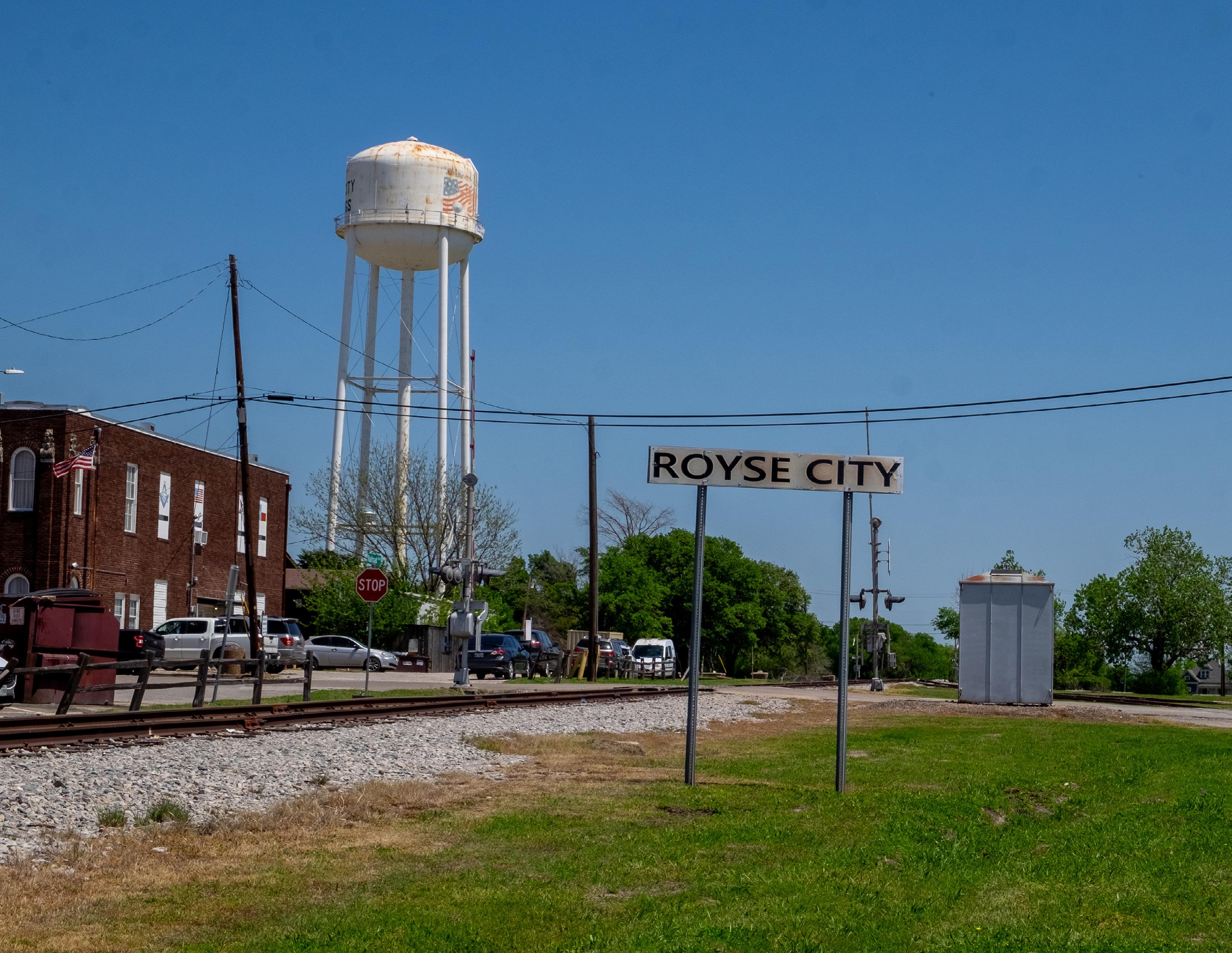
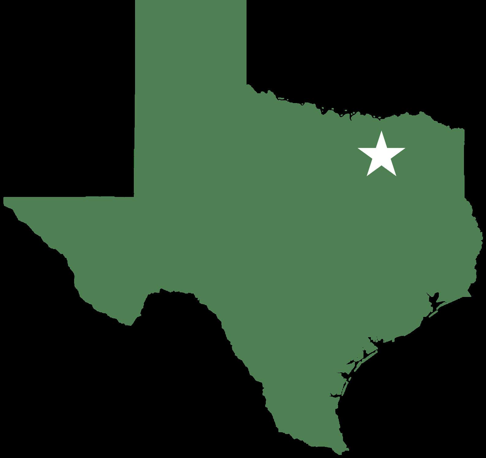
Royse City is located in North Texas in Rockwall, Collin, and Hunt Counties, and is approximately 32 miles northeast of Dallas. With a population of 17,357 Royse City is approximately the 65th most populated city in the DFW Metroplex. Neighboring communities include Fate, Union Valley, Josephine, and Nevada. Royse City has two major thoroughfares, I-30 and Highway 66.
Similar to many communities in the DFW Metroplex, Royse City is experiencing significant growth. Royse City has grown by 44.5% from 2010 to 2020, while Rockwall, Collin, and Hunt Counties have grown by 37.6%, 36.1%, and 16.1% during this time period.
Royse City is well-positioned for new growth with the highly rated Royse City ISD, growing and diverse economy, and community culture. This projected growth makes it critical for the City to proactively identify and address recreational gaps and ensure all residents have equitable opportunities to enjoy parks and public spaces.
Figure 1
Locator Map
Demographics provide an insight into who is using the park facilities and what types of amenities and programming are likely desired. The existing demographics are important to understand the current recreational needs, while the projected population allows the city to predict long-term recreational needs.
• Royse City has a young population with a median age of 33.3 years old.
• The average household is a young family with children.
Sources for Figures 2,4, and 5 : 2023 American Community Survey 5-Year
Source for Figure 3: U.S. Decennial Census
5,894 Households
Communities of similar characteristics were identified to allow city staff and elected officials to better understand Royse City’s park system in comparison to other communities. Although each community is unique, benchmark comparisons offer general insights and may help identify recreational and operational opportunities.
Local and state-wide communities were identified as benchmark communities. State-wide communities are those generally of the same characteristics, e.g. similar population, number of parks, size of parks, etc., and include:
• Leon Valley
• Orange
• Marble Falls
• Mount Pleasant
Benchmarks
Local communities, while they may be differing in some of the characteristics, can generally provide a better understanding of the local issues and needs that Royse City may be experiencing. The local communities that were identified as benchmark communities include:
• Fate
• Garland
• Rockwall
• Rowlett
• Wylie
Royse City manages and operates 13 parks and park facilities, the fewest amongst the local benchmarks and tied with the most amongst the statewide benchmarks. While Royse City provides the fewest number of parks out of the local communities, local benchmarks do not have the same population size, whereas Royse City is consistent with the state-wide communities which generally have a similar population size.
Royse City currently has 103.99 acres of parkland, including developed and undeveloped properties. It’s important for the city to be aware of the sizes of park properties, as this can help determine what type of amenities should be developed at the parks.
Royse City currently has an average of 7.7 acres of parkland per park, which is reflected by the large quantity of neighborhood parks. The average Royse City park is smaller than all local benchmarks, and the majority of the statewide benchmarks. The city will need to develop larger-scale parks if they wish to align similarly to the other benchmark communities.
The Level of Service (LOS) for a city’s park system measures the amount of usable, city-provided parkland per capita, typically expressed as acres per 1,000 residents. This metric helps city officials and residents understand how well the park system is serving the community and supports decision-making for future park improvements and land acquisition.
It is important for the City to define what qualifies as developed parkland. For the purpose of this plan, developed parkland has been defined as:
• Developed Parkland: Any recreational space serving its intended use, including active and passive spaces and preservation areas.
Areas that are considered developed may still be redeveloped or enhanced if new needs are identified.
Royse City’s Existing Level of Service
Current LOS: 3.29 acres per 1,000 residents
Total Developed Parkland: 57.20 acres
Total Population: 17,357
Royse City’s Recommended Level of Service
Target LOS: 6.00 acres per 1,000 residents
While the National Recreation and Park Association (NRPA) previously recommended a standard LOS of 10.0 acres of developed parkland per 1,000 residents nationwide, they now encourage each community to establish its own LOS based on local needs, maintenance capabilities, and quality-of-life expectations.
Royse City’s current LOS of 3.29 acres per 1,000 residents is lower than all the benchmark cities identified in this plan. It’s important to note that LOS calculations only include developed parkland; additional recreational assets such as undeveloped parkland, private recreation facilities, and public-school properties are not reflected in this figure.
Figure 10
Projected Level of Service
To meet the recommended LOS of 6.0 acres per 1,000 residents for its current population, Royse City would need a total of 104 acres of developed parkland – requiring an additional 46.80 acres. As the City continues to grow, the need for new parkland will increase:
• By 2030 the City will need 125 acres of developed parkland
• By 2035 the City will need 143 acres of developed parkland
The Level of Service (LOS) is a valuable tool for city staff and officials to understand the amount of recreational facilities provided by the city. It helps establish both short- and long-term goals for parkland acquisition.
The LOS is important when working with parkland dedication. Parkland dedication ordinances ensure that developers contribute land or fees proportional to the recreational demand generated by their developments. While Royse City can adopt a higher LOS goal, it cannot require developers to address existing parkland deficits.
As Royse City provides 3.29 acres of developed parkland per 1,000 residents – approximately 0.89 acres of parkland per 100 dwelling units. The City cannot require developers to dedicate more parkland than this ratio, unless the City first raises the LOS through public investment such as acquiring and developing public parks. The city should annually review and update the LOS to ensure developer contributions remain proportional to the demand generated by new growth.
Figure 11
Calculate Parkland Dedication Ratio
How To Calculate the Parkland Dedication Ratio
1. Identify the existing Level of Service:
This is calculated by dividing the developed acreage of parkland with the current population, multiplied by 1,000.
3.29 acres of developed parkland per 1,000 residents
2. Convert residents to households:
Developments are calculated per dwelling unit (DU), so utilize the median Texas household size of 2.7 persons per household to convert this ratio from per resident to per DU.
1,000 residents 2.7 persons/household = 370 households
3. Restate the Level of Service as based on dwelling units:
3.29 acres of developed parkland per 370 dwelling units
4. Convert the Level of Service to a base of 100 dwelling units:
Convert this ratio to a base of 100 households for easier calculations.
3.29 acres 3.7 households 0.88 acres per 100 dwelling units =
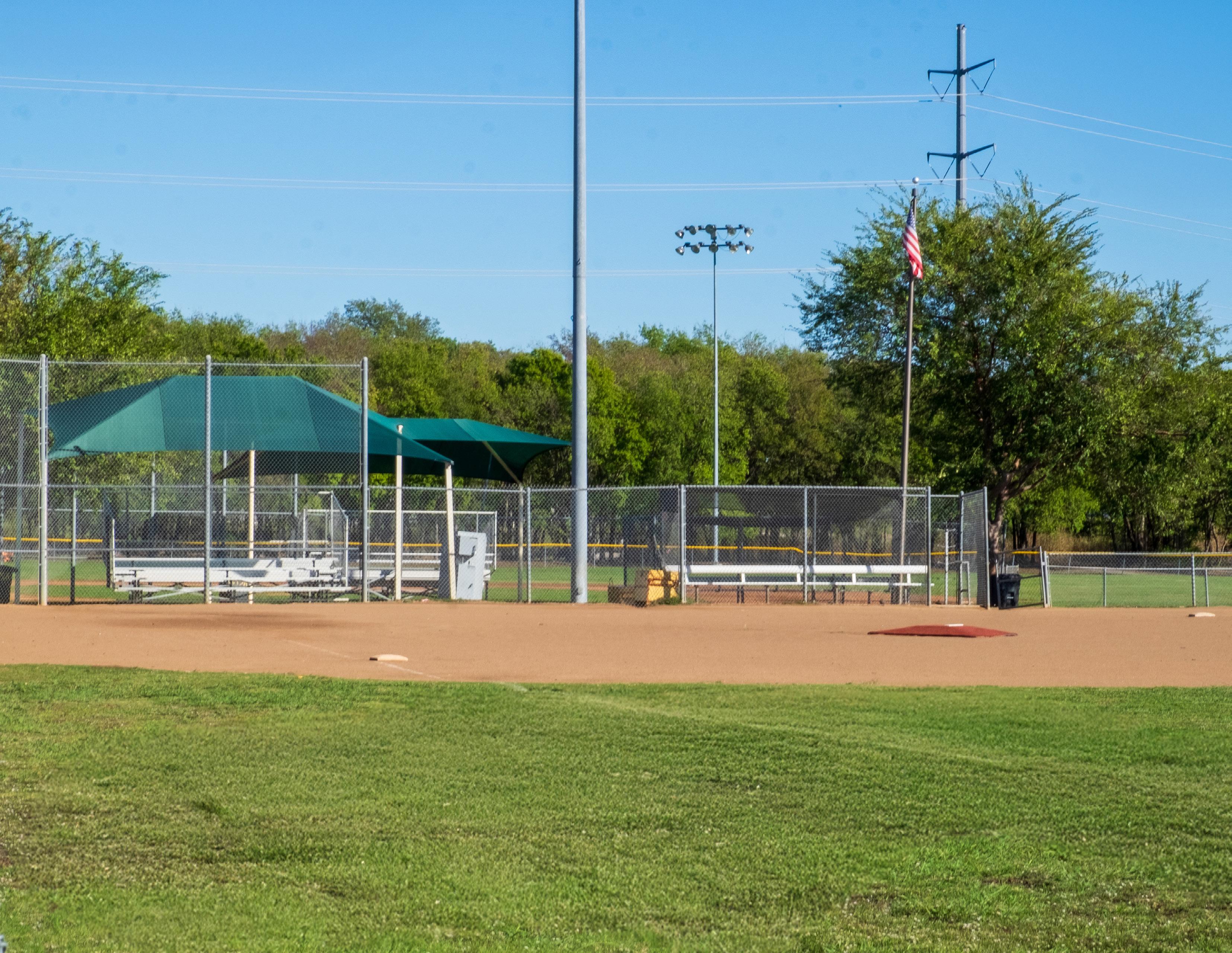
Figure 12
Classifications
Classification
Pocket Park ¼ Mile < 1 acre
Adjacent visitors
Seating areas, gazebos, fountains, sidewalk, art, landscaping, & signage
Neighborhood Park ½ Mile 5 – 15 acres Adjacent neighborhoods
Community Park 2 Miles 15 – 150 acres Entire community
Regional Park 10 Miles 150+ acres Entire urban area
Special Use Park Varies Varies Varies
Linear Parks Varies Varies Entire community
Playgrounds, practice fields and courts, open spaces, picnic areas, trails along with the amenities found in pocket parks
Recreational and practice sport fields and courts, playgrounds, aquatic facilities, along with the amenities found in neighborhood parks
Unique environmental areas, campgrounds, along with the amenities found in community parks
Amenities that serve a select user group, including sports complexes, senior centers, museums, nature centers, golf courses, skate parks, etc.
Multi-purpose trails, benches, signage, exercise equipment, drinking fountains, & landscaping
Private Parks Varies Varies Varies
Typical amenities include those found at a neighborhood park, but could vary depending on the intended use
The Park Service Area Map shows the service area for neighborhood and pocket parks within Royse City.
Neighborhood Parks (1/2 Mile Radius Service Area)
1: Becknell Park
2: Briarstone Park
3: City Lake Park
8: Old Mill Park
9: Parkside Park - this service area is not shown as this is an undeveloped park.
11: Splash Park
Pocket Parks
(1/4 Mile Radius Service Area)
4: Cookston Court
The following parks are not represented on this map as they have varying service areas:
• 5: Creekshaw Park
• 6: Fox Fields Park
• 7: Old Jail Park
• 10: Senior Center
• 12: Walker Hawk Sports Complex
• 13: Zaner Robison Historical Museum
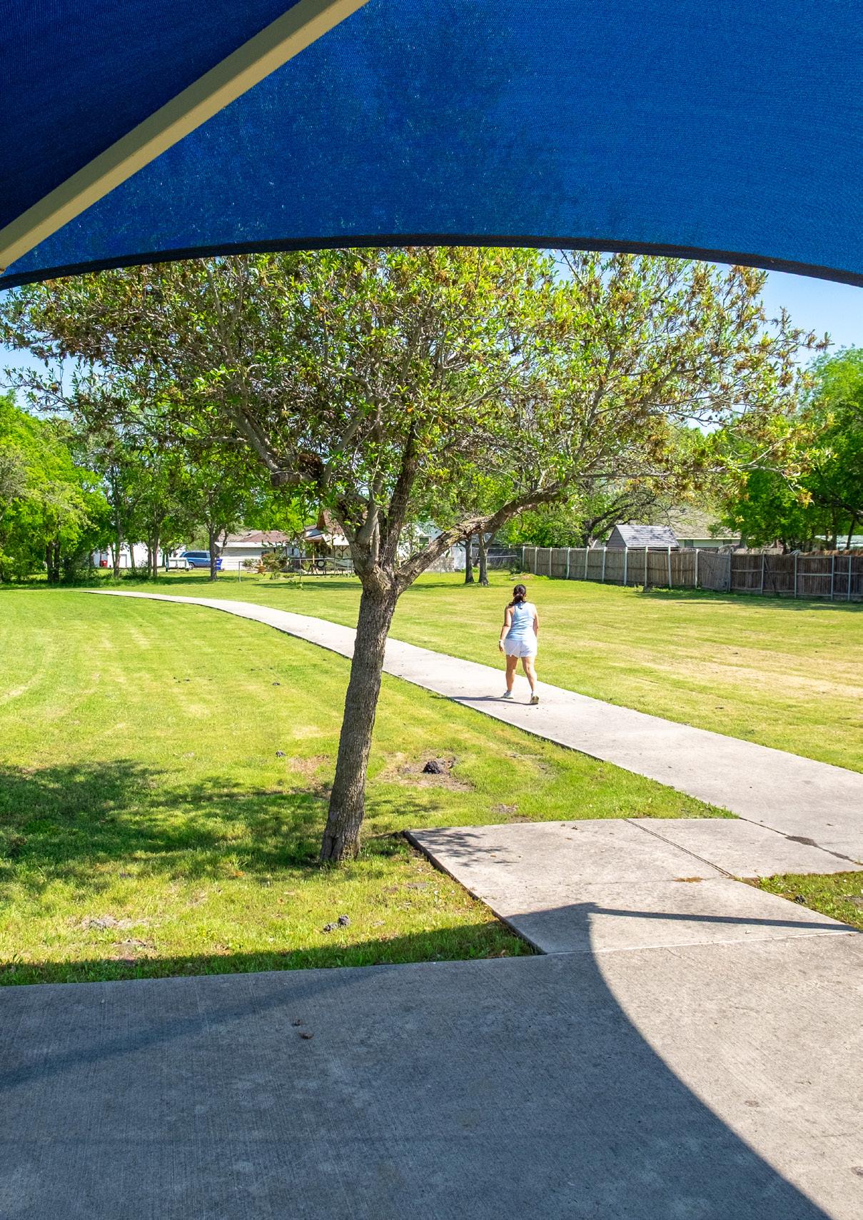
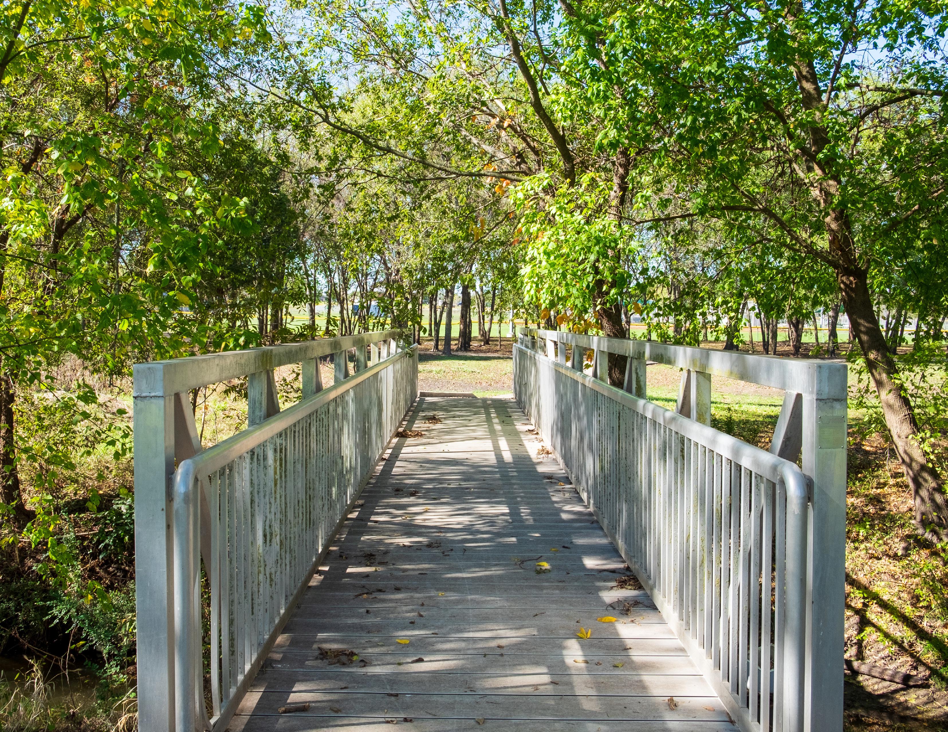
Royse City has been enhancing their trail network and currently provides approximately 1.95 miles of public trails.
A comprehensive trail system includes both trails and sidewalks, offering residents opportunities for recreation and alternative transportation. Each trail should serve a specific purpose, whether for recreation within a park or for connecting key community destinations. When planning improvements or developing new trails, it is important to consider the intended use and context of each trail. The current and proposed trail system can be categorized into the following classifications:
Looped trails are among the most frequently used type of trail in Royse City. These are contained entirely within a park and are designed for recreational use, allowing trail users to complete multiple laps. Looped trails are
currently provided at City Lake Park, Creekshaw Park, Old Mill Park, and Walker Hawk Sports Complex.
Trail users often prefer soft-surface materials such as crushed or decomposed granite, although hard-surface materials such as asphalt or concrete are also desirable. Ideally, looped trails should have a width of 8’ – 10’, with a minimum of 6’ when wider options are not available.
As looped trails are intended primarily for recreation, supporting amenities are essential to ensure a positive user experience. These amenities may include benches, drinking fountains, signage, trash receptacles, fitness stations, and lighting.
Linear trails are intended to connect facilities such as parks and open spaces, community facilities, and neighborhoods. These trails can be built along unique environments such as waterfront areas, greenbelts,
and old transportation infrastructure such as railroads. Linear trails are primarily designed for connectivity purposes, although trail users will likely use them for recreational purposes.
Linear trails can be developed with hard- or softsurface materials depending on factors such as location of the trail, cost of installation, and the required level of maintenance. These trails should be a minimum of 10’ – 12’ in width.
Greenbelt trails are typically developed on land set aside for environmental preservation and can support both recreational and transportation purposes. These may be looped or linear trails, depending on their specific location and function. While Royse City does not currently have any greenbelt trails, the extensive floodplain areas present opportunities for future greenbelt trail developments.
Greenbelt trails should generally be 10’ – 12’ in width and may be developed with hard- or soft-surface materials. Several factors should be considered when identifying the surfacing for future greenbelt trails, such as the cost of construction, desired maintenance requirements, and environmental factors. Because these trails can often be found in environmentally sensitive areas such
as floodplains, the surfacing can impact the durability and maintenance. Hard-surface materials will likely have lower maintenance requirements, especially when experiencing frequent flooding, whereas soft-surface material may be cheaper to construct but have a higher level of maintenance.
Sidewalks are paved pedestrian routes that run parallel to streets and connect neighborhoods, commercial areas, and community facilities. Although sidewalks differ from standard trail facilities, they play an important role in providing a connected active transportation system. Sidewalks allow community members to conveniently access parks, trails, and other public destinations.
While sidewalks in Royse City generally range from 4’ – 10’ in width, a minimum width of 6’ is recommended for comfort and accessibility. Although newer developments often include sidewalks, there are notable gaps in older neighborhoods and in downtown areas that limit walkability. Addressing these gaps will improve connectivity and enhance recreational opportunities.
The North Central Texas Council of Governments (NCTCOG) developed the Mobility 2045 Update, which identifies opportunities to improve trails and on-street bikeways across the Dallas-Fort Worth Metroplex. This plan has identified nearly 3 miles of shared-use paths in Royse City that would connect to this regional system.
The Mobility 2045 Update proposed the development of a shared-use path along West Main Street that would extend across Royse City. This would strengthen local mobility options while enhancing regional connectivity. These trails support broader public health and sustainability goals and could also help Royse City work toward recognition as a Bike Friendly Community.
It ’s important to be aware that as the time of the development of this plan, NCTCOG is developing the Mobility 2050 Plan. The City should coordinate with NCTCOG to ensure their regional transportation needs are being met, and the recommendations align with the city’s goals.
Parks and trails play crucial roles for the connectivity of a community and provide opportunities for transportation. Royse City parkland is primarily concentrated around the downtown, with all public park facilities being located within a 1-mile radius of Main Street. As parks are primarily located downtown, and as the City continues to expand outwards, fewer residents will have safe access to walk to a public park. Approximately 23% of residents live within a half mile or a ten-minute walk to a public park, which is significantly lower than the local and statewide benchmarks. It’s important to note that not every park has a 10-minute walking radius shown. Neighborhood and pocket parks are intended to serve the adjacent users; however, special-use parks can serve the overall community and as such, are not shown with a 10-minute walk radius even though residents may walk to these facilities.
The Trust For Public Land developed the 10-Minute Walk Campaign which encourages communities to improve access to parkland. Several communities within the DFW-Metroplex have pledged commitment to becoming a 10-Minute Walk City, including
• Grapevine
• Lewisville
• McKinney
• Richardson
Figure 19
Residents Within a 10-Minute Walk to a Park
Source: The Trust for Public Land
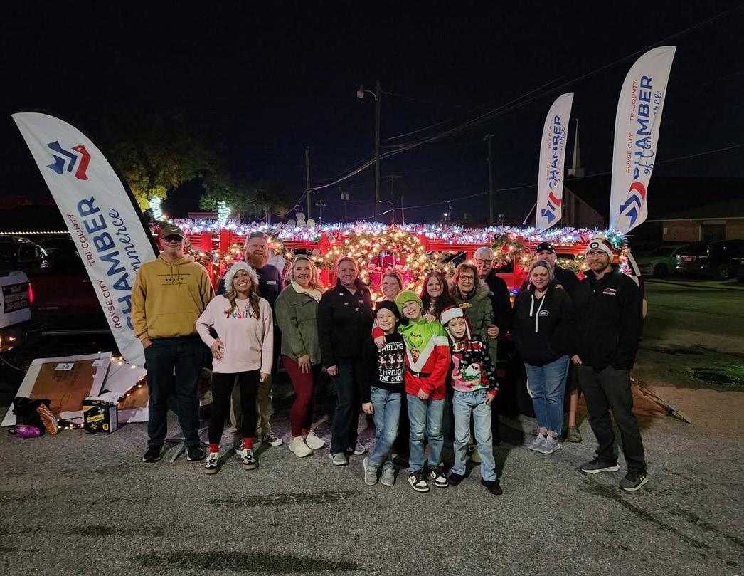
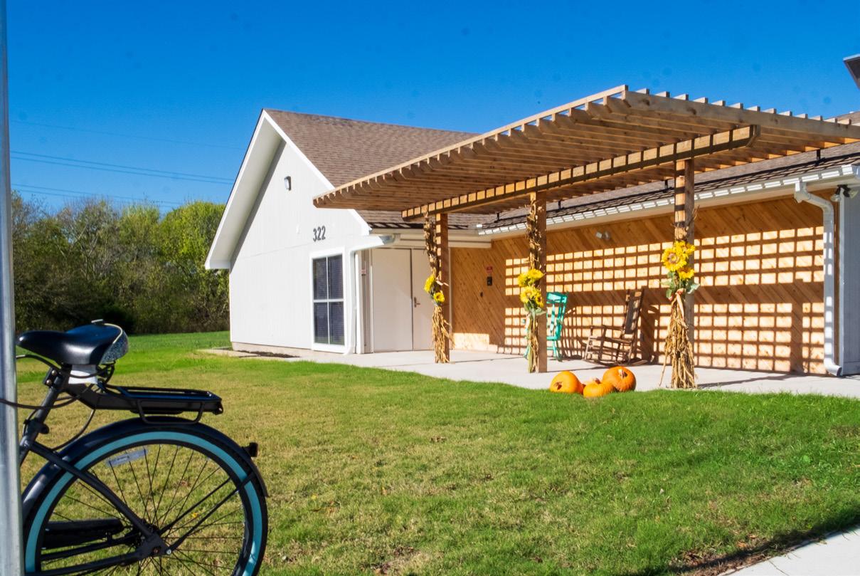
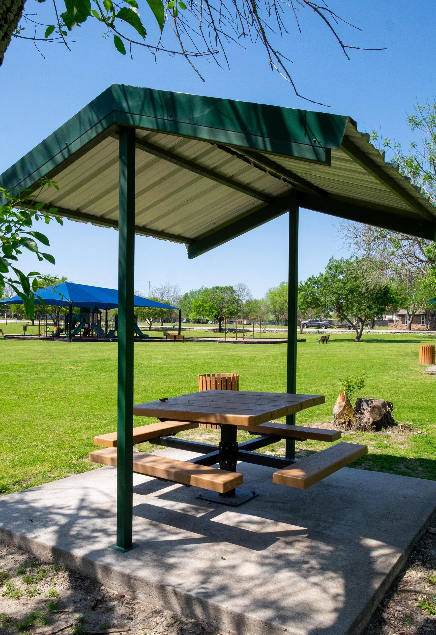
Programming plays a vital role in activating a park system. Events and activities encourage residents to participate in recreation and social interaction, improving the overall health and well-being of the community. To provide these programs, the City of Royse City hosts a variety of events throughout the year, including:
Celebrating Freedom Festival
Royse City celebrates Independence Day with a community festival featuring fireworks, live music, and food trucks.
Christmas Parade
This holiday event features decorated floats and costumes parading through downtown Royse City.
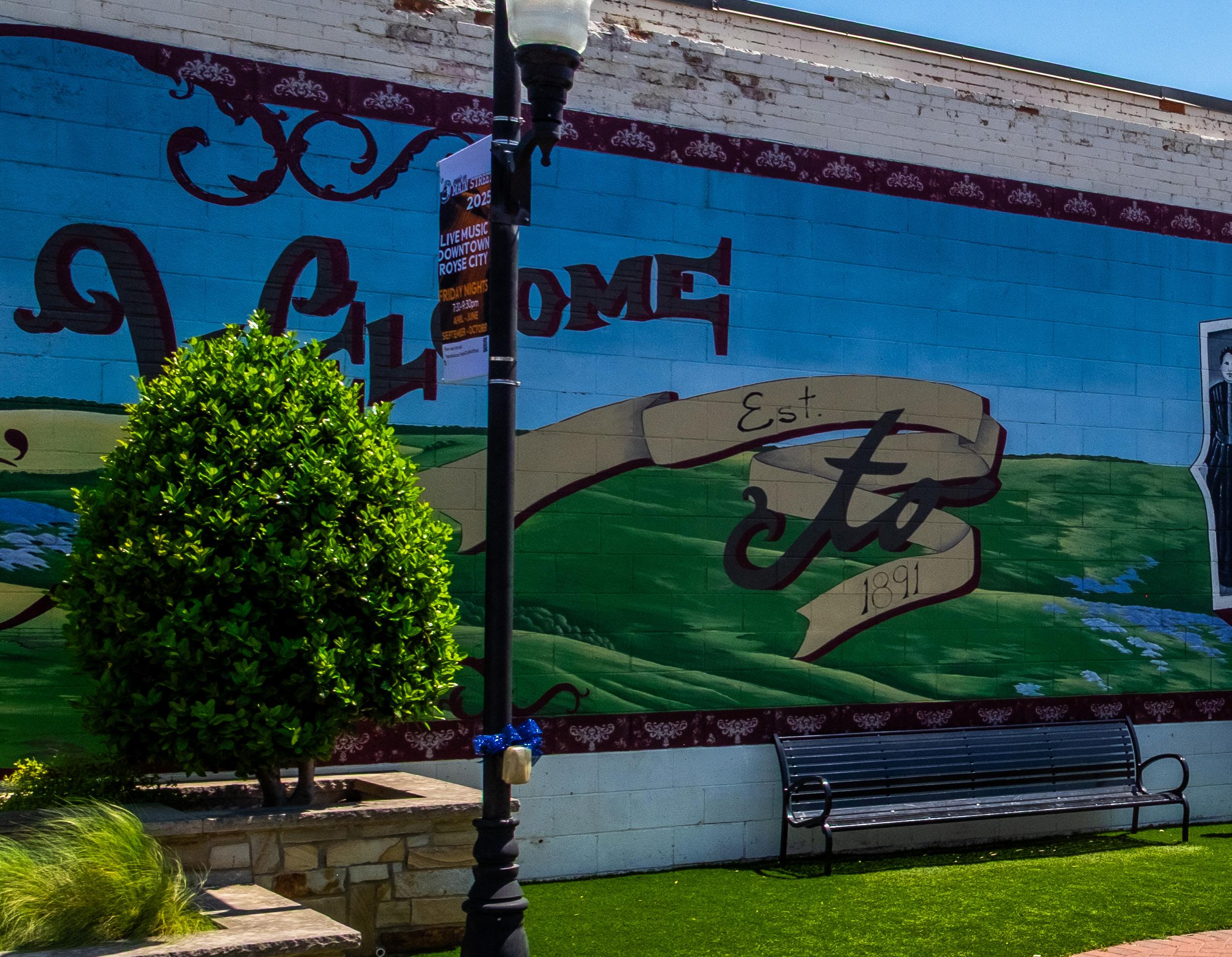
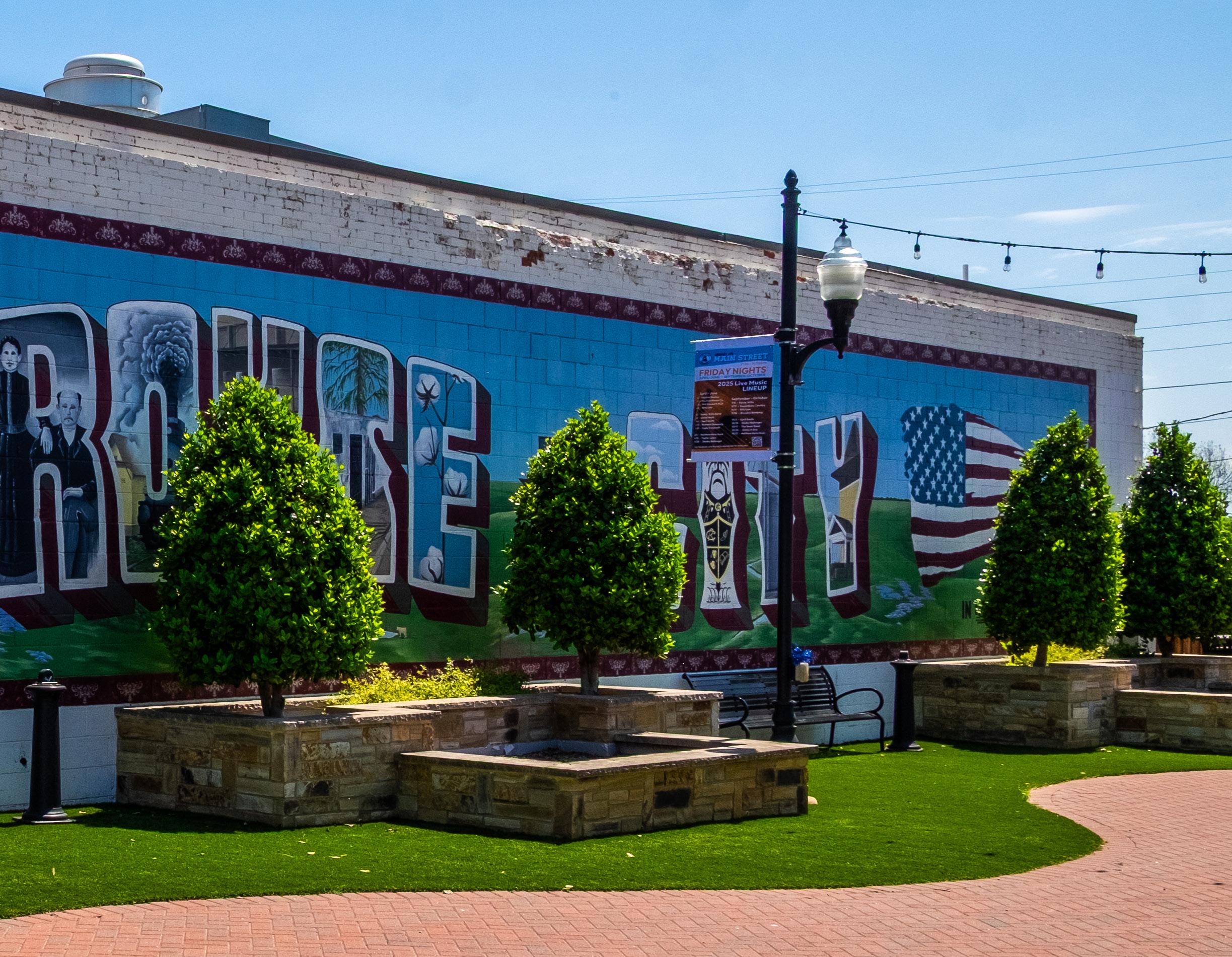
Residents are encouraged to enjoy live music from local artists at Cookston Court on Friday evenings from spring through fall.
Royse City Main Street Car, Truck, and Bike Show
This event showcases classic and custom vehicles and provides both new and current car enthusiasts with an opportunity to connect.
Youth Fishing Event
This event provides children ages 16 and under with the opportunity to participate in a fishing tournament at City Lake Park.
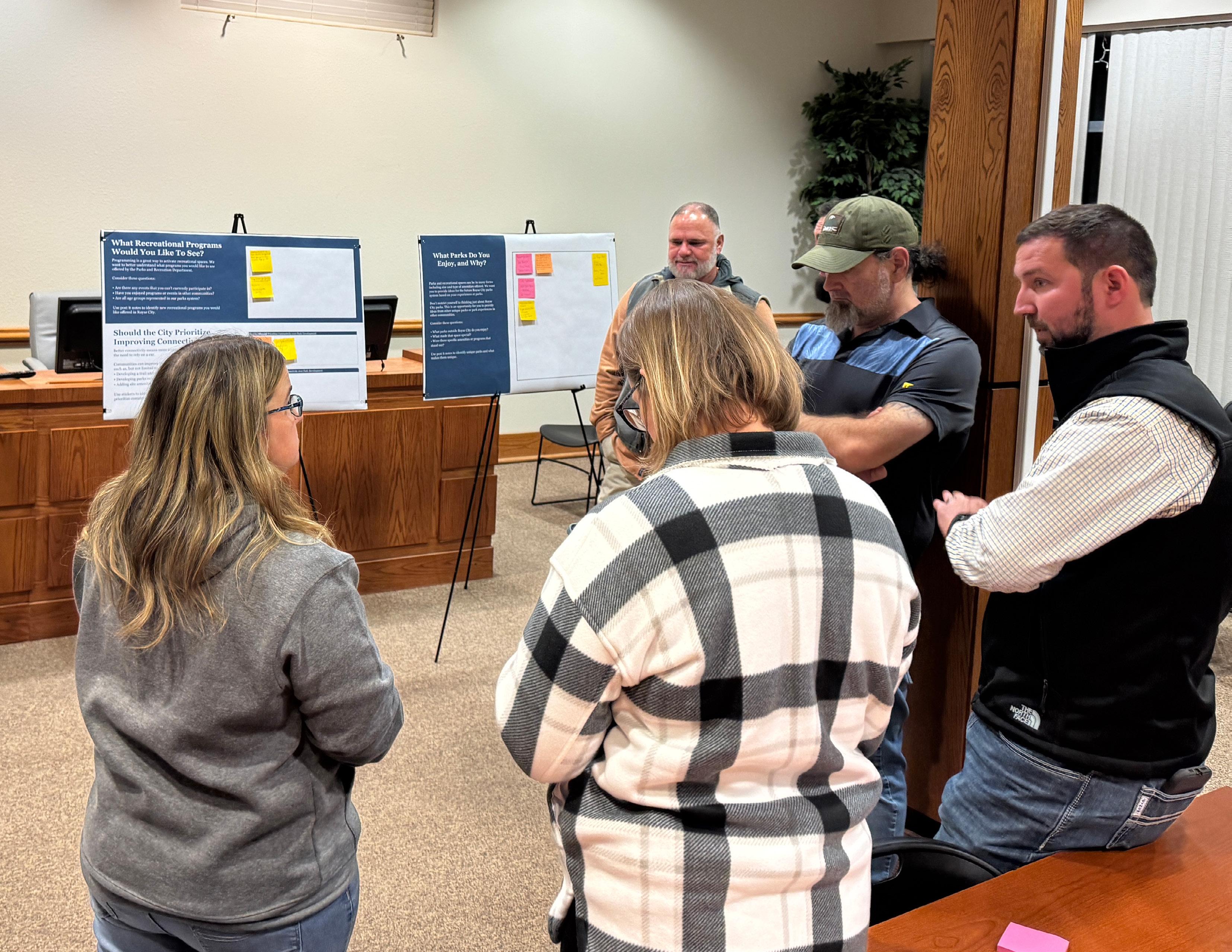
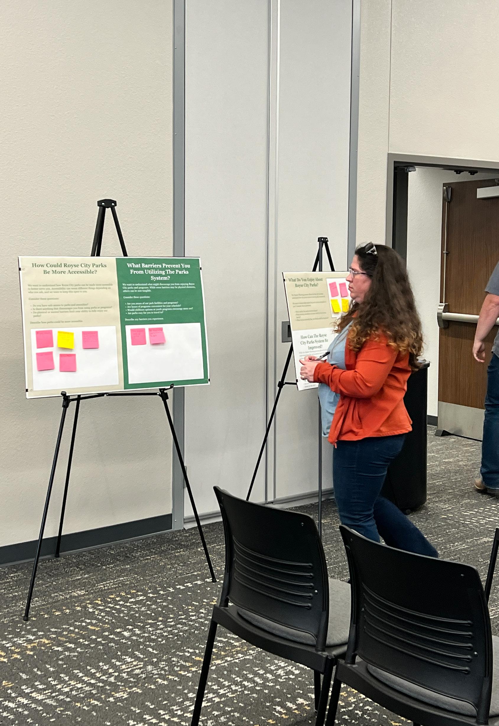
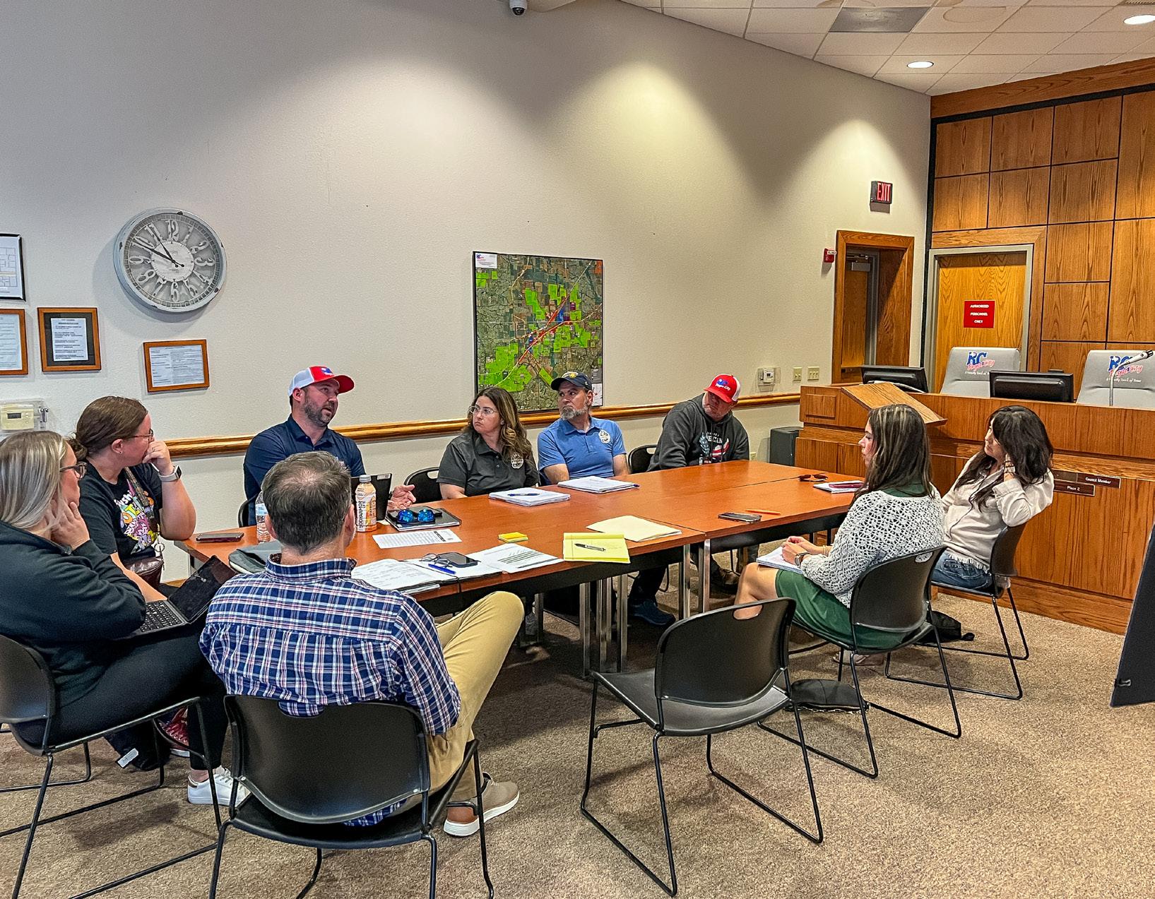
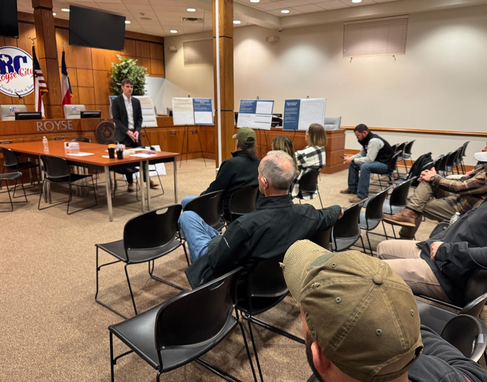
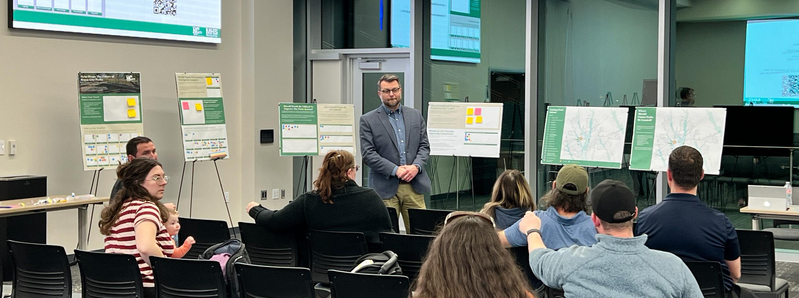
Royse City is committed to ensuring that its Parks, Recreation, Trails, and Open Space Master Plan reflects the needs of the community. To achieve this, the City conducted a variety of public engagement efforts, including focus group and Townhall meetings, pop-up events, and community surveys. Each method provided different ways for residents to participate, from indepth discussions with local organizations to open conversations at Townhall meetings.
To increase the accessibility of the engagement, events were scheduled at different times of the day, and at different locations throughout the city. Residents were encouraged to share their feedback online through QR codes and website links.
Engagement opportunities included:
• Introductory Kick-Off Meeting: October 2024
• Focus Group Meetings: November 2024
• Townhall Meetings: January and March 2025
• Community Surveys: December 2024 – March 2025
• Pop-Up Event: December 2024
• Parks Board Updates: April, May, and July 2025

Throughout the community engagement, residents provided extensive input on how to improve the park system. Common themes included:
Existing parks are perceived as too small, and environmental challenges (e.g. topography, floodplains, harsh weather, etc.) hinder frequent use. Residents emphasized the need for larger parks.
Many parks serve a specific demographic and are not all-encompassing. Residents expressed the vision for having parks serve all household members and would not require families to visit multiple parks to address the recreational needs.
Residents enjoy the natural elements in existing parks and want future parks to preserve and emphasize the natural environment.
Key needs:
• Development of larger parks that offer diverse recreational opportunities for all ages and abilities.
• Expansion of athletic opportunities through new sports fields and courts, and should be developed outside of the floodplain.
• Creation of a trail network that connects neighborhoods to schools, parks, and key community facilities.
• Improvements to the existing park facilities and continued long-term maintenance.
• Increased shade to protect users from harsh weather conditions.
• Welcoming and inviting spaces that create a sense of “WOW!”
• Unique recreational amenities, such as disc golf, zip lines, rock climbing walls, and skateparks.
• Improved accessibility through paved parking areas and better trail/sidewalk connectivity.
• Enhanced wayfinding and entryway signage throughout the park system.
• Continued programming, including events such as movies in the parks, concerts, and fitness classes.
Community feedback was overwhelmingly clear, residents want better parks. Many residents expressed that the current system does not meet their expectations and often requires them to seek recreational opportunities in neighboring communities such as Rockwall and Fate. Residents envision a future where parks are destinations, and where outdoor spaces enhance both the quality of life and strengthen community identity.
Would you be in support of a bond for the City to acquire and/or develop new parks?
To which extent do you agree with the following statements:
“Royse City provides an adequate number of parks.”
Agree
Agree nor Disagree
Disagree
(non-resident)
What’s the largest barrier preventing you or someone in your household from utilizing the parks system more?
“Existing parks should be upgraded.”
Agree
“Parks are well worth the cost to taxpayers.”
nor Disagree
Disagree
nor Disagree
Which five park amenities would you most like added?
Multi-Use Trails
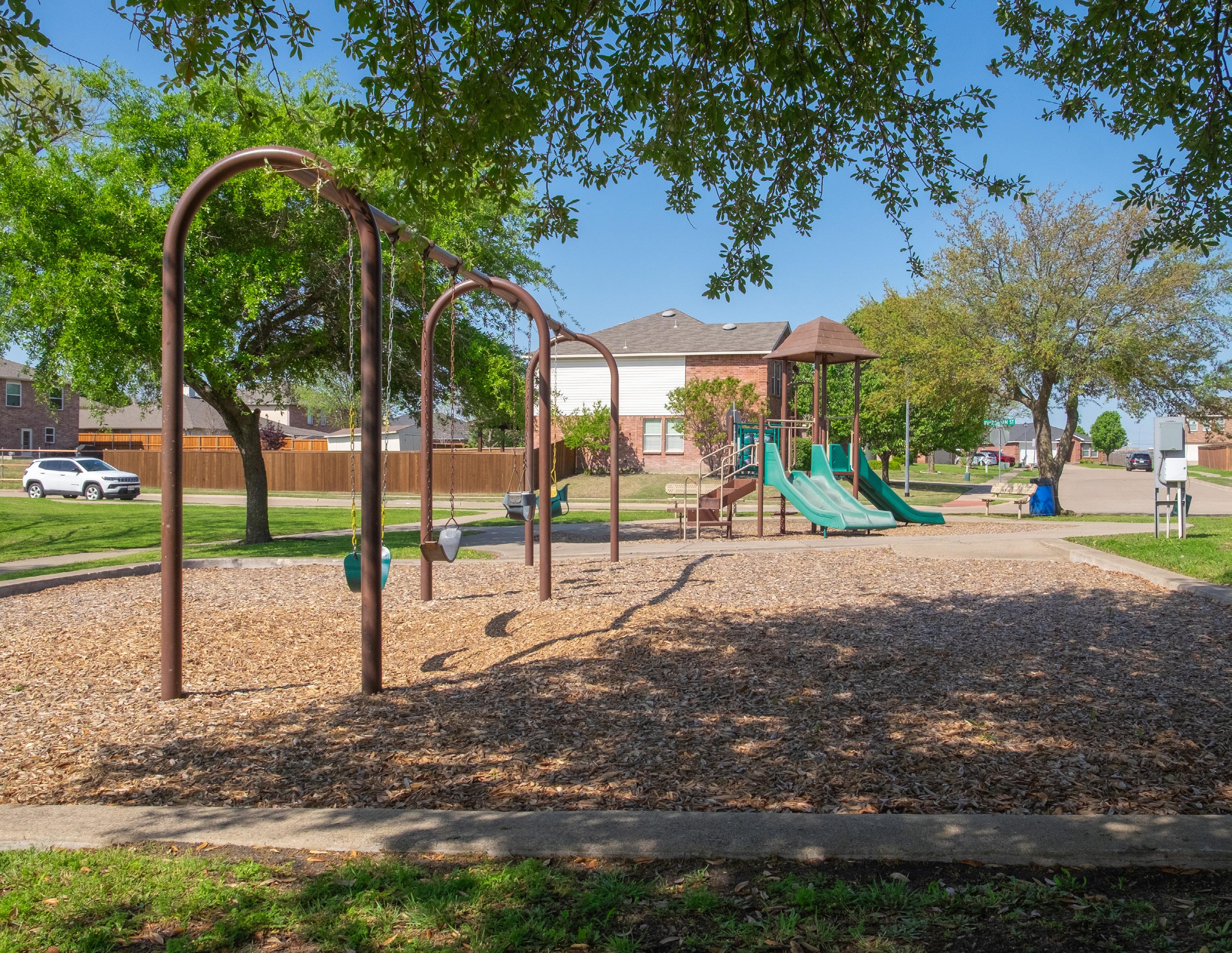
Playgrounds
Restrooms
Sports Courts/Fields
Shade
Picnic Facilities
Lighting
Fishing Piers
Dog Parks
Inclusive Play
Landscaping
Parking
Ampitheater
Wildlife Viewing Stations
Which
Which Royse City park do you or someone in your household visit most often?
City Lake Park
Private/HOA Park
Splash Park
Walker Hawk Sports Complex
None
Fox Fields Park
Creekshaw Park
Cookston Court
Old Jail Park
Old Mill Park
Becknell Park
Briarstone Park
Senior Center
Zaner Robison
The following needs have been identified based on the existing inventory, community input, the Advisory Committee, city staff, and the consultant’s professional opinion. These needs have been categorized into themes to provide a comprehensive understanding of the recreational gaps within the community.
A consistent theme from community engagement is the lack of a centralized park in Royse City that meets a broad range of recreational needs. While the City has several smaller parks that service specific needs, these spaces do not fully meet the community’s growing demand. Additionally, most existing parks have limited space for expansion, making the acquisition of new parkland a crucial priority. The City needs to acquire and develop additional parkland to meet the targeted Level of Service established within this plan.
New parkland should include at least one of the following characteristics:
• The property contains minimal floodplain areas
• The property will be near a school
• The property is located within a park district that lacks a city-owned park
• The property is located adjacent to an existing park
• The property will provide new opportunities to improve connectivity
• The property contains unique environmental elements
A significant portion of parkland in Royse City is located within the floodplain, which results in several of the parks experiencing challenges with flooding, drainage, and development. To ensure long-term sustainability, the City should prioritize acquiring property outside of the floodplain for future park development. If park properties are acquired within the floodplain, the city should develop these parks while understanding the environmental and design constraints.
Park Districts were created to identify recreational gaps and promote equitable access to parkland throughout Royse City. Currently, city-owned parks are concentrated in only five of the twelve districts. The City should focus on developing public parks in districts without city-owned facilities, utilizing HOA parks as supplementary recreational spaces.
Another recurring comment from the community was that many of the existing parks feel too small to be fully enjoyed. Some of Royse City’s neighborhood parks, including Becknell Park, fall below the minimum recommended size of a neighborhood park. Where feasible, the City should pursue the acquisition of adjacent parcels to allow for the expansion of existing parks. Expanding parkland not only helps meet the standards identified in this plan but will also create new opportunities to diversify the recreational amenities.
Royse City currently provides 13 parks or park facilities; however, only a handful are sufficiently developed to be regularly utilized by the community. There is a strong need for the City to continue to reinvest in and improve their existing parks.
Parks should be upgraded to meet the standards of the park classifications identified previously in this plan. Opportunities for improvement include:
• Park expansion through land acquisition
• Installation of playgrounds
• Development of trails
• Improvements to existing site conditions (e.g. grading, drainage, erosion, etc.)
• Involvement of the local neighborhood to ensure the parks reflect the intended park users
One of the largest needs identified during this plan is the development of new recreational spaces. As Royse City continues to grow, more people will utilize the park system. It is essential that the City expand its park system to keep pace with this growth and ensure all community members have access to recreational opportunities.
Three types of parks have been identified as priorities to acquire and develop over the next ten years:
• Community Parks
• Linear Parks
• Neighborhood Parks
Royse City needs a large 100+ acre park for the entire community to gather. This park should serve the local community while supporting those in neighboring cities. The amenities needed at this park include:
• All-inclusive playground
• Sports fields and courts
• Trails
• Shade structure
• Sprayground
• Art
• Restroom and concession
• Site furniture
• Lighting
• Pavilions
• Signage
• Landscaping
• Parking
The City needs to actively pursue the acquisition and development of linear parks throughout the community. Linear parks are essential for enhancing connectivity.
Expanding the trail network will not only improve recreational opportunities but will also promote sustainability and support the physical and mental health of the community. By improving pedestrian and bike connectivity between neighborhoods and key facilities, linear parks can reduce the dependence on cars, ultimately contributing to lower emissions and leading to a healthier environment.
Opportunities for future linear parks include areas along the Sabine Creek and/or within the floodplain.
Linear parks should be developed with the following:
• Multi-purpose paved or natural trails
• Benches
• Drinking fountains
• Signage
• Shade
• Bike repair stations
• Waste receptacles
Royse City contains both, public and private neighborhood parks. The private parks are primarily developed and maintained by Homeowners Associations (HOAs) and generally serve the local neighborhoods.
The City should improve existing city-owned neighborhood parks and collaborate with developers to ensure neighborhood parks are provided with new residential developments. Developers should work with the Parks and Recreation Department to ensure private parks meet with standards of neighborhood parks identified within this plan.
A key challenge regarding athletics in Royse City is the condition of the athletic fields. Many of the fields are located within the floodplain and are not properly graded to manage stormwater. As a result, these fields are prone to frequent flooding, limiting their usability and increasing maintenance requirements. Improving drainage and site conditions is essential to ensure the fields are safe and playable year-round.
The City should prioritize providing field lighting and permanent restroom facilities at parks where games and tournaments are held, such as at Creekshaw Park which lacks both, limiting its usability and comfort for players and spectators.
Most parks in Royse City are developed with traditional recreational amenities; however, many lack true natural or open space areas. These spaces provide opportunities for the community to interact with nature, through hiking and biking trails, wildlife viewing areas, or nature-based play.
In 2015, the cities in Rockwall County partnered to develop the Rockwall County Open Space Master Plan, which had the mission:
“Save Open Spaces in Rockwall County before it’s too late.”
The Open Space Master Plan specifically identified an opportunity for Royse City to acquire and preserve land south of the city as a Royse City Nature Preservation Area. This would establish a unique natural amenity for the region, especially as few cities east of Lake Ray Hubbard offer a dedicated nature preserve. This facility could serve as both a local asset and a regional destination.
While a nature preservation area is something new the city could provide, natural and open space needs can be addressed through other measures as well. The public expressed an overwhelming need for an enhanced trail system. The City needs to acquire greenbelt property
and develop linear trails that will create opportunities for residents to hike and bike through nature. When feasible, parks should be developed with large open space areas that allow community members to gather and recreate in various ways. Open lawn areas provide opportunities for events such as Movies-in-the-Park, Concert-in-the-Park, seasonal events, etc.
“There is an urgency as land, floodplains, and greenbelts disappear to pressures of growth and development. In 1922, there were 95,360 acres of open land. On January
1, 2021 only 37,452 acres remained. Much of this has been bought by large residential developers and will soon become pavement and rooftops.”
—Rockwall County Open Space Master Plan
The need for an expanded trail system was one of the most consistent themes discussed during this plan. Residents ranked multi-use trails as the most desired amenity to add to Royse City’s parks.
Trail needs have been categorized into one of the following themes:
• Development of new looped trails
• Utilization of greenbelts to improve connectivity
• Installation of supporting amenities
Currently, Royse City provides looped trails at City Lake Park, Walker Hawk Sports Complex, Old Mill Park, and Creekshaw Park. As the City improves the park system, looped trails should be a priority. These trails improve recreational opportunities and appeal to a wide range of users. Depending on the user, loop trails may serve as the primary feature of the park, or they may be complimentary to the other amenities.
A significant portion of Royse City is located within the floodplain, and the City should capitalize on this natural landscape by developing greenbelt trails that provide scenic walking and biking routes. These trails not only enhance recreational opportunities but also serve a
broader purpose – improving community connectivity and supporting environmental sustainability. Greenbelt corridors offer opportunities to link neighborhoods to parks, school, and commercial areas, creating a healthier and more walkable Royse City.
While the City should develop new trails, it is equally as important to provide the supporting amenities that enhance the experience of the trail user. Supporting amenities include elements such as benches, drinking fountains, waste receptacles, lighting, and signage.
The City should expand the trail network to connect the following:
• Anita Scott Elementary School
• Briarstone Park
• Becknell Park
• Paula Walker Elementary School
• Fort Elementary School
• Royse City ISD High School
• Ouida Baley Middle School
• Glenda Arnold Early Childhood
• Davis Elementary School
• City Lake Park
• Downtown
The following priorities have been developed to guide future improvements to Royse City’s park system. These elements are listed in general priority order and reflect the most immediate needs to best serve the community.
While some priorities are ranked higher than others, it is important to note that all listed improvements are essential to creating a high-quality, inclusive, and accessible park system. The prioritization is intended to assist City staff and other decision-makers in guiding resource allocation, phasing, and project design over the next ten years.
As the City moves forward with park improvements, these priorities should be used as a framework to evaluate potential projects, funding opportunities, and partnerships. However, it’s important to remain flexible as community needs may shift, new opportunities may arise, and some projects may align more easily with grant cycles or development patterns. By consistently referring back to these priorities, the City can ensure that future investments stay aligned with community values while adapting to changing conditions.
Goal 1: Expand the existing trail network to develop a continuous trail network within Royse City.
Objective 1.1
Develop looped trails in new and existing parks to provide accessible recreational opportunities.
Objective 1.2
Develop linear parks through the acquisition and preservation of greenbelt corridors to create a citywide trail network that improves connectivity.
Objective 1.3
Design trails that connect neighborhoods, parks, schools, and key destinations to support walkability and encourage active transportation.
Objective 1.4
Partner with developers and regional entities to integrate trails into new developments and regional trail systems.
Objective 1.5
Install supporting facilities alongside existing and future trails to improve the experience of the trail user, including signage, shade, seating, etc.
Goal 2: Improve existing facilities and develop new and unique recreational amenities to meet the needs of the community.
Objective 2.1
Evaluate opportunities to introduce new or underserved recreation elements within existing parks.
Objective 2.2
Address flooding and drainage challenges by improving grading and stormwater management.
Objective 2.3
Provide lighting and permanent restrooms at athletic fields and courts to support extended use and events.
Objective 2.4
Incorporate amenities for passive and non-sport uses in athletic parks to serve all users during games and tournaments.
Objective 2.5
Identify opportunities to utilize grant funding for the improvement of the park system.
Goal 3: Be proactive in the preservation and conservation of open spaces and natural areas within Royse City.
Objective 3.1
Develop nature-based recreation opportunities such as hiking trails, wildlife viewing areas, and nature play features.
Objective 3.3
Incorporate the natural environment and features when developing parks.
Objective 3.4
Utilize native landscaping and habitat restoration in parks to enhance environmental sustainability.
Objective 3.5
Incorporate open lawns and flexible natural areas in parks for community events and passive use.
Objective 3.6
Coordinate with local organizations to educate the community and developers on the importance of natural areas and native vegetation.
Objective 3.7
Pursue State and National accreditations such as TPWD, CAPRA, Tree City USA, etc.
Goal 4: Ensure all community members have safe access to parks and park amenities.
Objective 4.1
Identify and prioritize the development of parks in park districts that currently lack city-owned parks.
Objective 4.2
Ensure all park districts provide at least one neighborhood park and are connected with the trail network.
Objective 4.3
Acquire new parkland outside the floodplain to develop a wide range of recreational amenities and reduce maintenance issues.
Objective 4.4
Expand existing neighborhood parks, especially those that are below the recommended minimum size, by acquiring adjacent land.
Objective 4.5
Continue to track and assess parkland distribution to ensure all residents have equitable access.
Goal 5: Create an engaging and welcoming environment at all parks to create a sense of community, foster social connections, and improve community health.
Objective 5.1
Engage the public in park planning and programming to ensure parks reflect community identity and values.
Objective 5.2
Incorporate signage, art, and interpretive elements to promote local history, culture, and the environment.
Objective 5.3
Encourage park usage at underutilized parks through programming and events.
Objective 5.4
Identify opportunities to provide a unique identity for each park.
Objective 5.5
Develop gathering areas within parks to support small events, pop-ups, and seasonal uses.
Objective 5.6
Provide cohesive entryway signage at all parks.
Recommendations have been developed to address the immediate and near-future recreational needs. The following recommendations are categorized by park name and do not include an estimated cost, phasing, or recommended project date. A scheduled approach to implement these recommendations has been developed in Chapter 8 Implementation Schedule.
Throughout the development of this plan, parks in Royse City have continuously been compared to those in neighboring communities. Many of these communities have been developing their parks over the past several decades. While Royse City may be experiencing a large growth in population, it is important for the city to understand it takes time to develop a park system. The recommendations identified below are intended to help address the recreational needs of the short and near-future; however, the city will need to continue developing and improving the park system beyond the expiration of this plan.
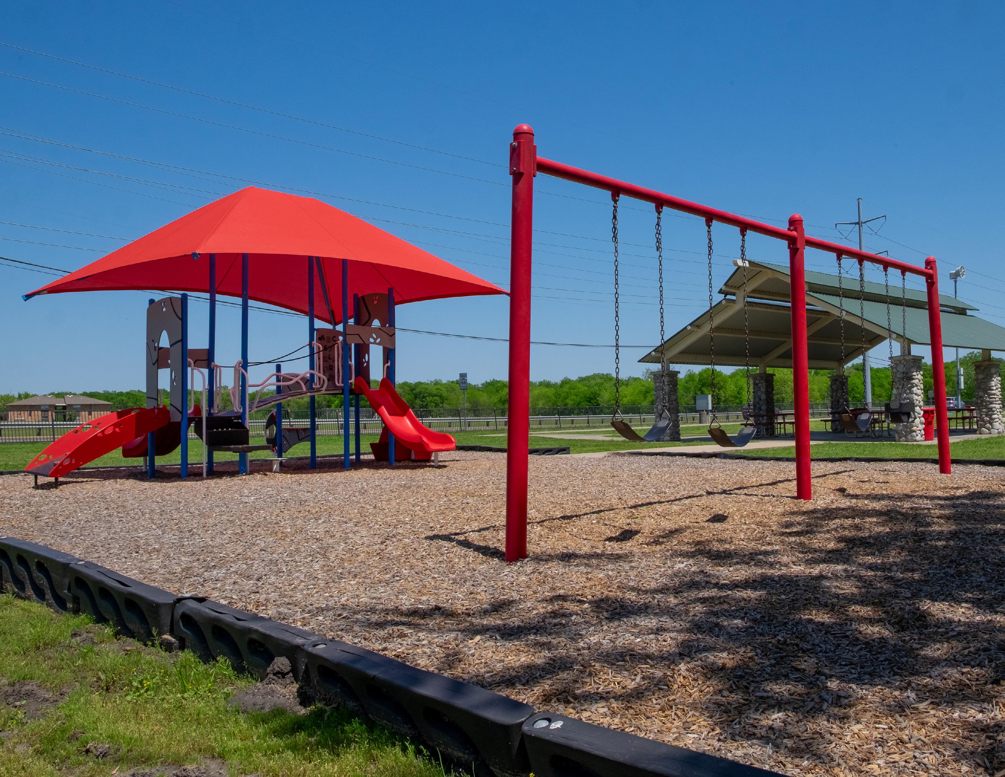
Becknell Park
Becknell Park is intended to function as a neighborhood park, and although it has the amenities that make up a neighborhood park, the design of the park discourages frequent use. This park should be redeveloped to create an inviting space that the adjacent residents can utilize for recreation and gatherings for smaller events.
Develop conceptual layout of the park
• Partner with a landscape architect to redesign Becknell Park.
• Involve the community to promote community buy-in and ensure the reimagined park will serve the residents.
Provide new recreational opportunities
• Relocate and expand the playground to enhance the usability.
• Consider providing a multi-use sports court (e.g. pickleball, tennis, or basketball).
• Install a pavilion to encourage social gatherings and events.
• Partner with the Royse City Library to develop a StoryWalk.
Improve accessibility to the park
• Expand the trail network by constructing sidewalk along West Church Street.
• Consider developing a loop trail by developing trail along the western property line, connecting North Houston Street to West Church Street.
• Install bike racks to encourage park users to visit the park via bicycle.
• Improve the parking conditions and expand the gravel parking.
• Develop signage educating park users on the historical significance of the park.
Create a welcoming environment that encourages frequent use
• Work with local artists to develop artwork unique to the park.
• Consider partnering with local organizations such as Keep Royse City Beautiful and the Royse City CDC to install native landscaping.
• Provide natural and/or structured shade to protect park users from harsh weather conditions.
• Install site furniture such as benches, water fountains, and recycling bins.
Briarstone Park
Briarstone Park is intended to function as a neighborhood park; however, only a few of the standard neighborhood park amenities are provided here. While portions of the park are located within the floodplain, there are still opportunities to enhance the park to better meet the needs of the community. The park should be redesigned to better optimize the location of amenities and create a cohesive park.
Develop conceptual layout of the park
• Partner with a landscape architect to redesign Briarstone Park.
• Involve the community to promote community buy-in and ensure the reimagined park will serve the residents.
Provide unique recreational opportunities for the community
• Develop a loop trail, connecting the eastern portion of the park to the western.
• Consider constructing a 9-hole disc golf course.
• Expand the playground to encourage use for children of all ages.
• Install a “Little-Free Library” to promote reading.
Improve accessibility to the park
• Consider expanding the trail to connect at the I-30 Frontage Road sidewalk.
• Install a bike rack to encourage park users to visit the park via bicycle.
• Develop entryway signage for the park, utilizing cohesive signage materials.
Install supporting facilities to enhance the experience of the park user
• Provide wayfinding, trail marker, and interpretive signage to improve educational opportunities.
• Install site furniture such as benches, water fountains, and recycling bins.
• Partner with the local residents and organizations to install native plantings.
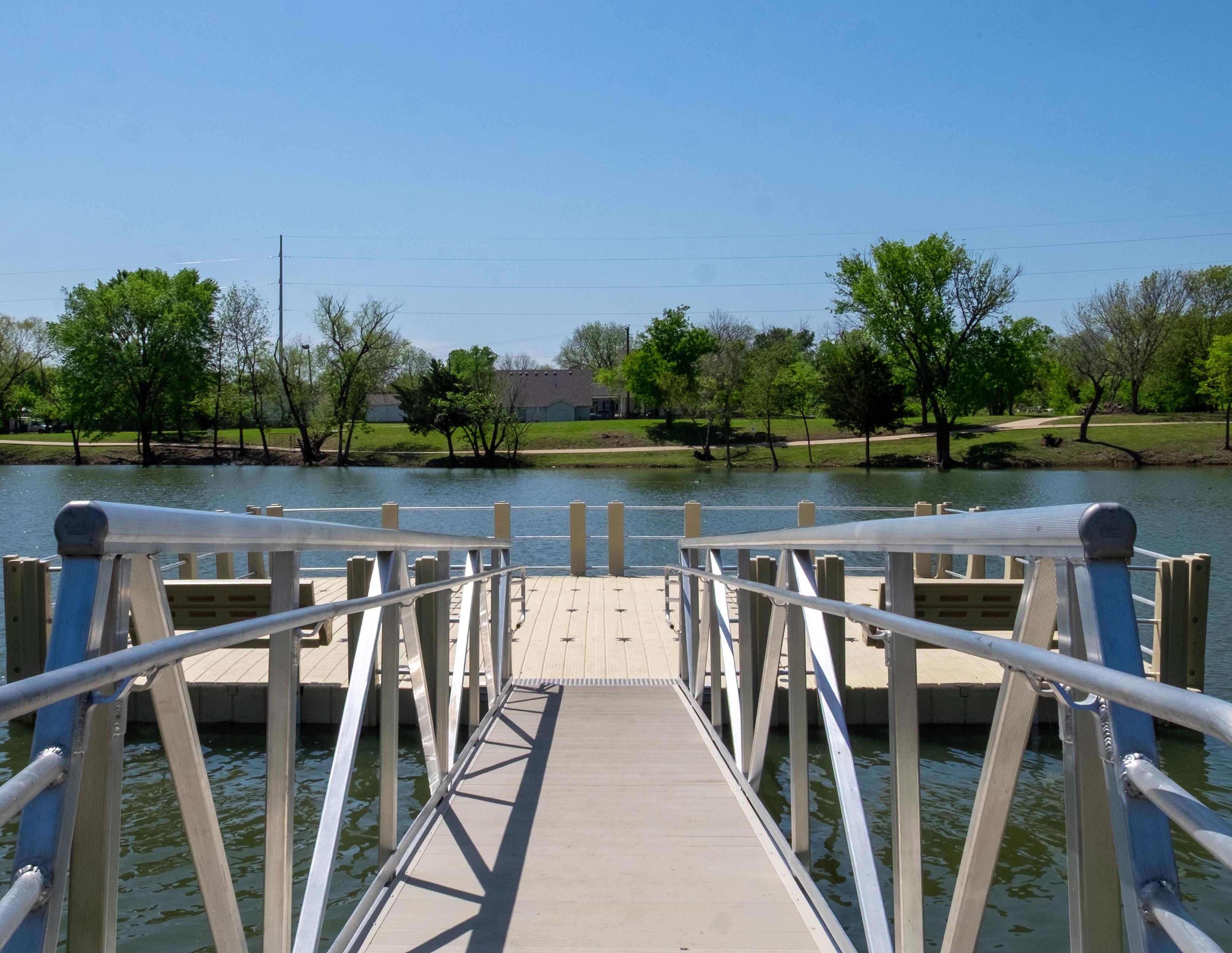
City Lake Park is currently serving as a neighborhood and a pseudo community park. With improvements to the other neighborhood parks, this will lessen the demand for City Lake Park to serve the entire community.
City Lake Park accomplishes its job as functioning as a neighborhood park; however, improvements could be made to better improve the recreational opportunities and the sustainability and maintenance of the park.
• Improve drainage and erosion control
Increase the accessibility of the park
• Regrade and reconstruct portions of the loop trail to be ADA-compliant.
• Improve the parking lot by grading and paving with concrete to increase the usability.
• Consider redeveloping entryway signage to be cohesive with other city parks.
• Install bike racks to encourage park users to visit the park via bicycle.
Provide new and expand existing recreational opportunities
• Develop a multi-use sport court (e.g. pickleball, tennis, or basketball) along the western portion of the park.
• Expand the playground to encourage play from children of all ages.
• Install fitness stations along the loop trail to promote exercise.
• Replace the pavilion and fishing pier.
Enhance the experience of the park users
• Install site furniture such as benches, water fountains, and recycling bins.
• Partner with local organizations and the community to install native plantings.
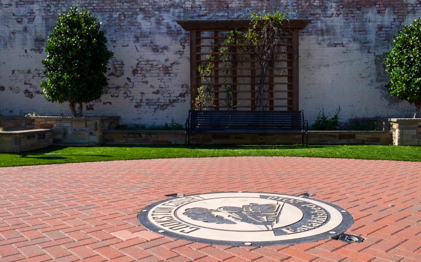
Court
Cookston Court is intended to be a pocket park, and should provide opportunities for the community to gather and socialize. The park is currently utilized for events such as Music on Main; however, improvements would allow the space to be better utilized.
Improve the visibility and educational opportunities
• Provide entryway signage to educate the community and downtown visitors of the park.
• Develop wayfinding signage to educate the downtown visitors on location of other community facilities.
• Improve the visibility of the bulletin board by relocating this toward the northern portion of the park.
• Educate downtown visitors on upcoming community events by utilizing the bulletin board for advertisements.
Continue providing unique programs
• Pursue partnerships with local musicians for the continued success of Music on Main.
• Expand and diversify the methods of advertising for events.
Creekshaw Park
Creekshaw Park primarily serves the local soccer community. There are several challenges this park experiences, including flooding and irrigation. The City should enhance the existing facilities for the community to better use the park.
Improve the park accounting for the environmental characteristics
• Consider regrading the site to reduce risks and severity of flooding.
• Perform general field improvements.
• Install native landscaping.
Enhance the experience of the park users
• Install field lighting to improve visibility.
• Install a permanent restroom.
• Install site furniture such as benches, water fountains, and recycling bins.
• Provide emergency devices such as an AED.
Increase the accessibility of the park
• Pave the parking lot.
• Install entryway signage that is cohesive with signage in other city parks.
• Install bike racks to encourage park users to visit the park via bicycle.
Fox Fields Park
Fox Fields Park is currently functioning as a special use park; however, there are several opportunities that would allow for a wider use. The park is situated in the middle of a neighborhood, and could better serve as a neighborhood or a community park. There are opportunities to expand this park, and while soccer can still be provided here, it does not have to be the only use at this park.
Acquire new property
• Consider acquiring the property from the Royse City ISD, and property to the east and/or west.
Provide new recreational opportunities
• Install playground equipment for children of all ages.
• Develop loop trails throughout the park.
• Install a pavilion for community gatherings and events.
• Install a “Little-Free Library”.
Enhance the experience of the park users
• Provide natural or structured shade.
• Install site furniture such as benches, water fountains, and recycling bins.
• Install native landscaping.
Improve the accessibility of the park
• Develop sidewalk along Annahlee Street and South Jones Street.
• Provide a bike rack to promote park users to visit the park via bicycle.
• Consider relocating the entryway signage.
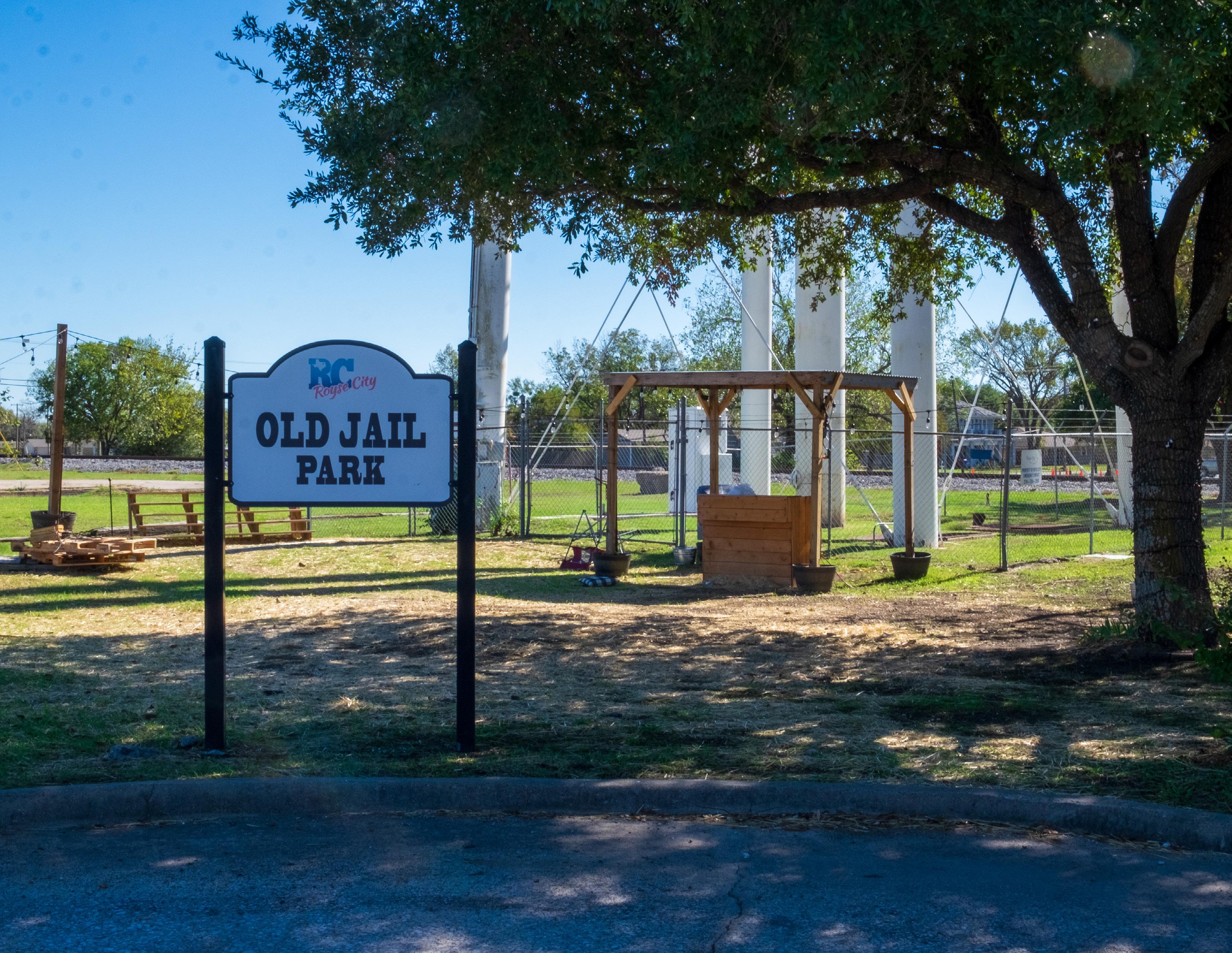
Old Jail
Old Jail Park is intended to be a special use park; however, it functions similarly to a pocket park with occasional pop-up seasonal events. This park should be enhanced to provide sufficient space for the community to visit this park.
Create a community gathering space
• Develop a plaza area for local events
Improve the experience of the park users
• Install site furniture such as benches
• Install native plantings
Old Mill Park
Old Mill Park is a neighborhood park that provides recreational opportunities that are less traditional than the typical neighborhood park. As this park is connected to Walker Hawk Sports Complex and Splash Park, the traditional play equipment such as playgrounds are not necessary here. Instead, Old Mill Park should be enhanced to expand upon the natural elements of the park.
Promote the park to encourage passive recreational use
• Install a pollinator / wildflower planting area.
• Construct a small bird blind to provide temporary shelter for the local birds.
• Partner with the Texas Parks and Wildlife Department to annually restock the pond for catch and release fishing.
• Provide site furniture such as benches, water fountains, and recycling bins.
• Install nature-play elements.
Create educational opportunities for the park users
• Develop interpretive signage regarding environmental components such as local fauna and vegetation and/or the floodplain.
• Install a bike rack to encourage park users to visit the park via bicycle
• Improve the gravel parking lot.
• Research opportunities for park expansion.
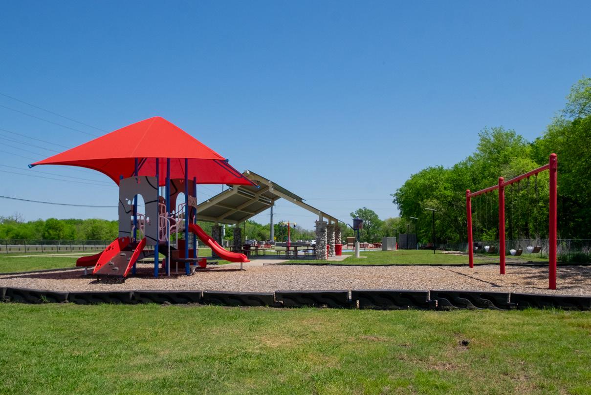
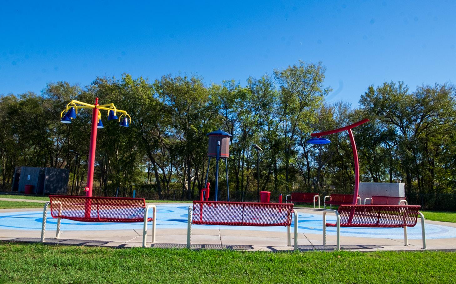
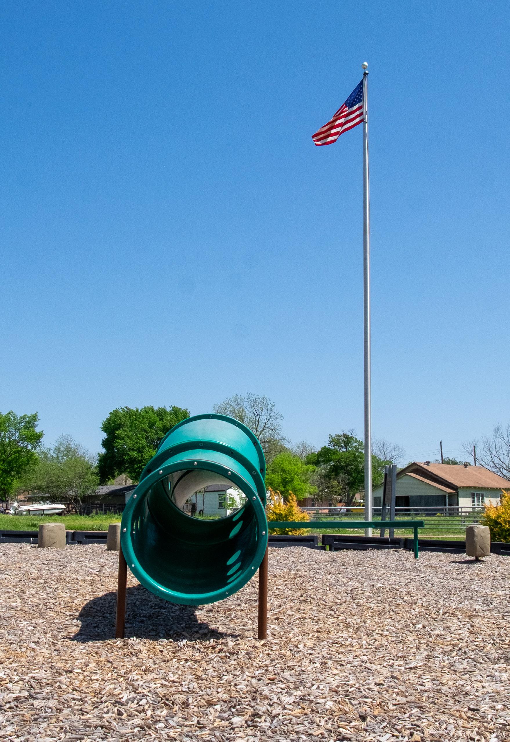
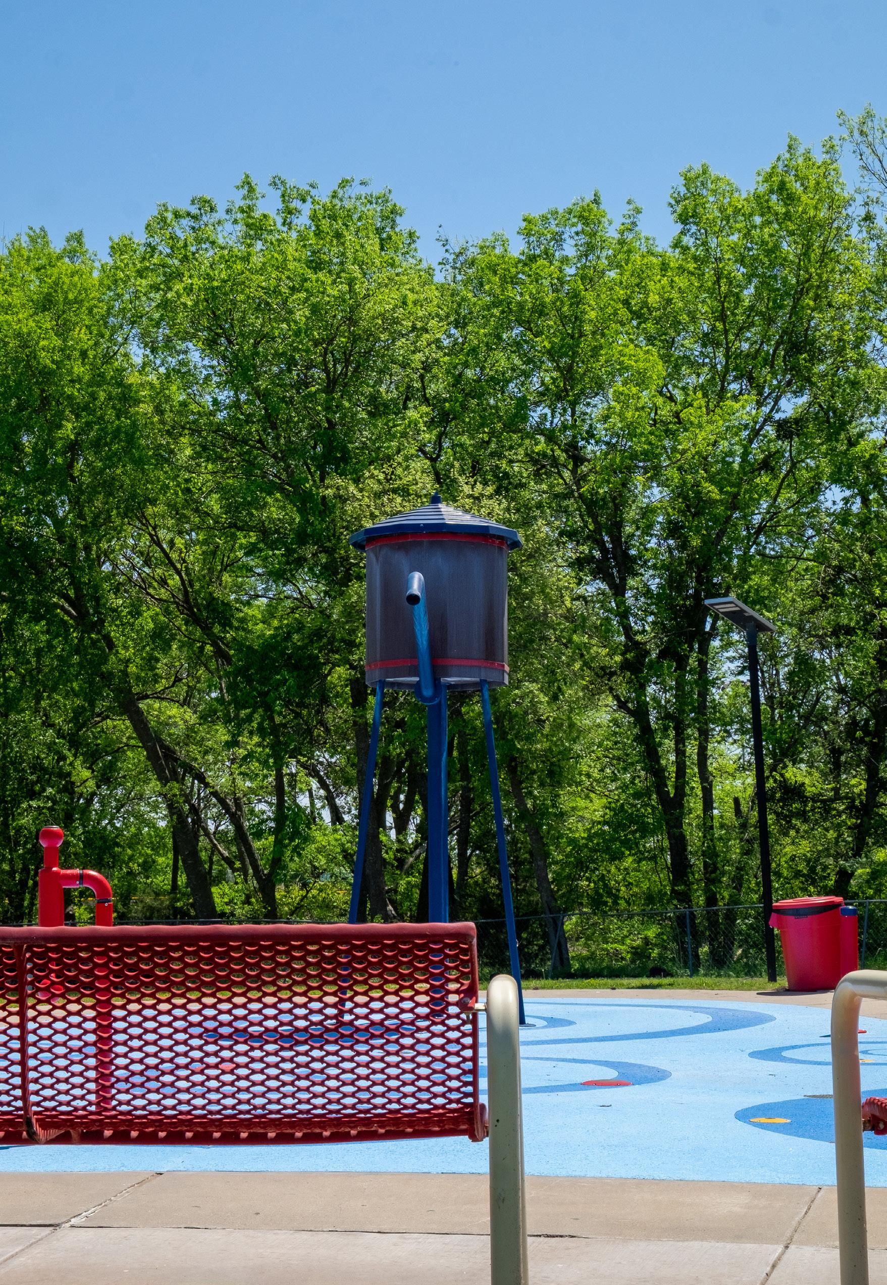
Splash Park is currently doing a good job at functioning as a neighborhood park. The installation of the splash pad and playground equipment allow families to utilize this park, especially in the summer. While it does a good job serving the community, there are several recommendations that would allow the community to better utilize this space.
• Consider working with local artists to develop a large piece of art unique to the site.
• Install native plantings and trees.
• Continue expanding the trail throughout the park, to create an approximate half-mile loop trail.
• Install a showcase and all-inclusive playground to encourage park usage.
• Consider creating a community garden.
Improve the accessibility of the park
• Consider expanding the parking lot.
• Provide entryway signage that is cohesive with signage in other city parks.
• Research the feasibility to improve connectivity.
Provide supporting amenities to enhance the experience of the park users
• Install shade with the splash pad.
• Install a restroom facility.
Walker Hawk Sports Complex
Walker Hawk Sports Complex primarily serves the baseball and softball community. While this park meets some of the local athletic needs, there are many challenges that this park faces. The size of the park is too small to allow the city to expand and provide additional opportunities for practice or games. The park also experiences flooding and has issues with drainage and maintenance of the fields.
Improve the park to address the environmental constraints
• Conduct drainage improvements.
• Perform general field improvements.
• Install native landscaping to help capture stormwater runoff.
Develop new recreational opportunities
• Install a new playground.
• Provide fitness stations along the looped trail.
• Provide turf improvements.
Improve the accessibility of the park
• Pave the parking lot and design to capture stormwater runoff.
• Provide a bike rack to encourage park users to visit the park via bicycle.
• Improve the restroom and concession.
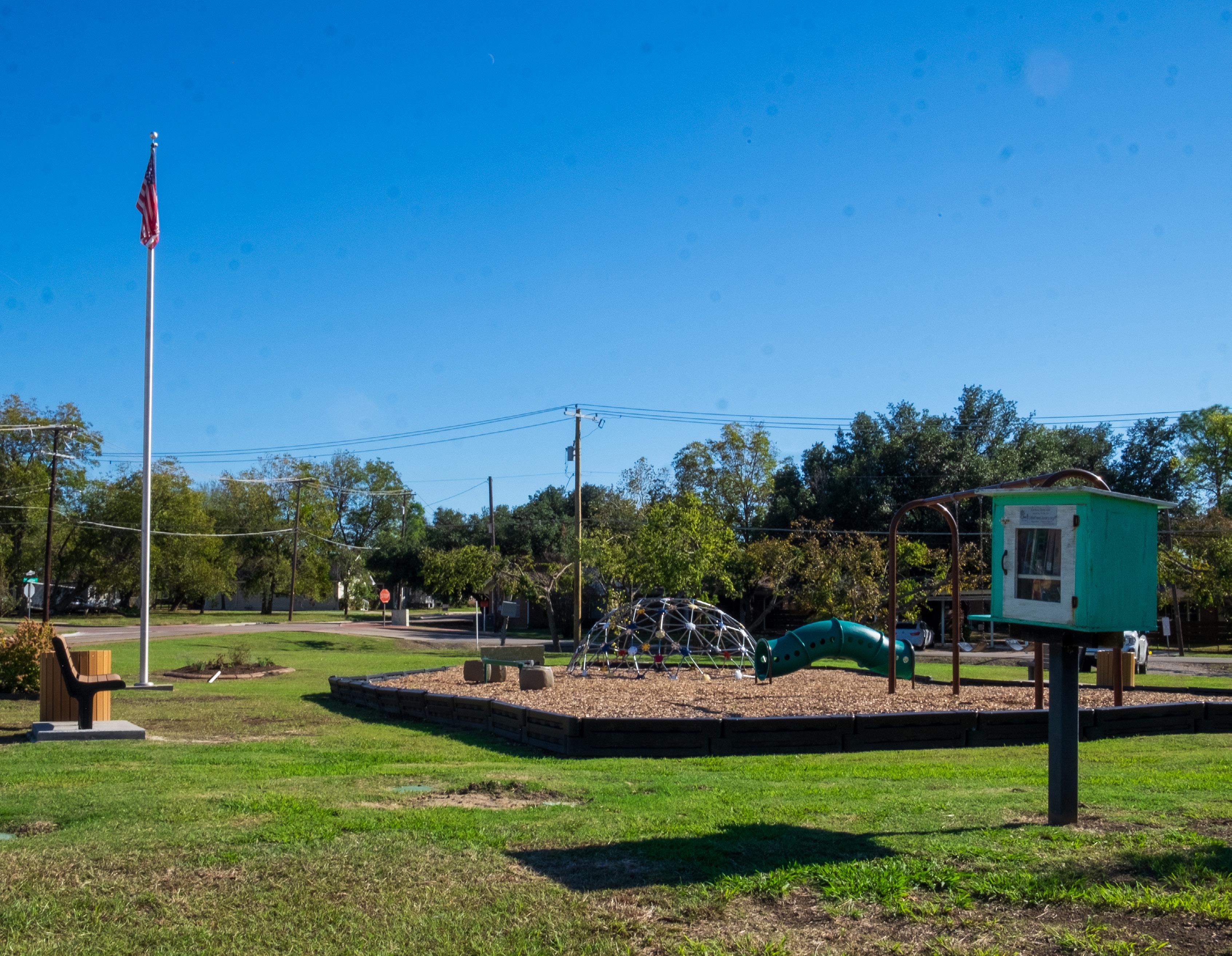
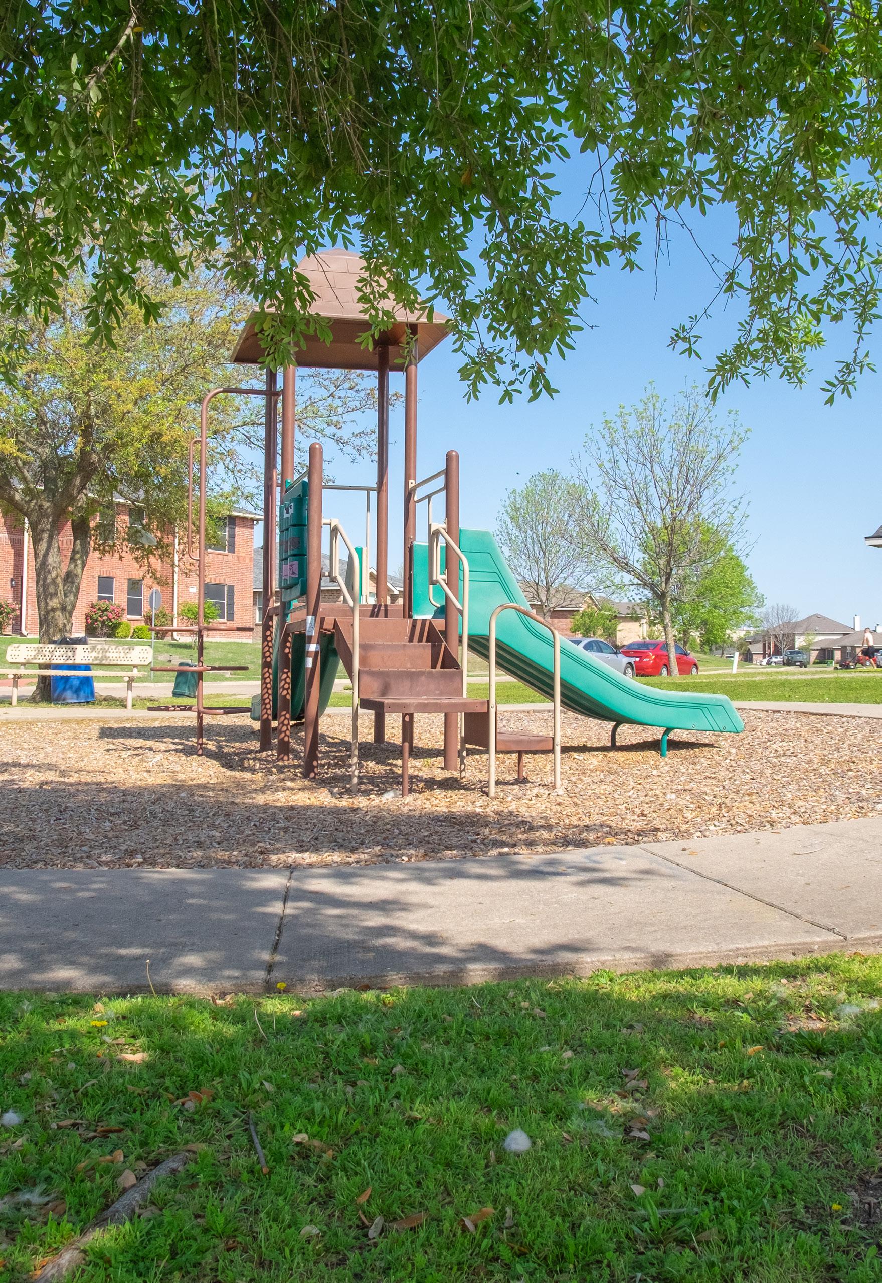
The City currently has one undeveloped neighborhood park, Parkside Park, which only contains approximately 0.20 miles of trail. The City should develop this park as a neighborhood park.
Provide the recreational amenities found at a neighborhood park within the standards of this plan.
• Install playground equipment
• Construct sports courts
• Develop multi-purpose trails
Create an identity for the park
• Install entryway signage
• Consider working with local artists to develop a large piece of art unique to the park.
Parks in Royse City are small which limits the amount of recreational opportunities that can be developed. The community has consistently expressed the desire for a large park that would serve a wide-range of users. The City should identify opportunities to expand the park system by developing a new large park.
Acquire or preserve land for a new park
• De dicate a large property, approximately 100 acres, for the development of a regional park.
Provide new and engaging recreational amenities
• Install playground equipment for children of all ages and abilities.
• De velop sports facilities (baseball, softball, football, and soccer).
• Construct loop trails throughout the park.
Linear parks in Royse City are not yet established at a large scale. Given the community’s strong desire for walkability and trail connectivity, it is crucial for the City to prioritize the development of linear parks that provide linkages throughout the community.
Acquire or preserve property for the development of a linear park
• Ac quire property along Sabine Creek to preserve and dedicate for future trail use.
• Priori tize trail connections between key community facilities such as schools, parks, and downtown.
Provide a high-quality experience for the trail user
• Install supporting amenities such as benches, signage, trash bins, etc.
Coordinate with the community for a comprehensive trail network
• Collaborate with developers to ensure new developments include sidewalks with opportunities for future trail connections.
• Ensure all parks include perimeter sidewalks and trails to enhance walkability and connectivity.
Throughout this plan, it has been repeatedly noted that City-owned parks in Royse City are primarily concentrated near the downtown area. While the community values the downtown and the parks located here, it is essential to ensure that all residents have equitable access to public parkland. Currently only about 23% of Royse City residents can safely walk to a park within 10 minutes from their home.
As the City continues to grow and new developments occur farther away from downtown – where the majority of undeveloped land is located – more residents will live outside the walkable service areas of the existing parks. Without a plan for new park development, the percentage of residents with safe walking access to parks will continue to decline.
To address this, the City has identified 12 proposed park districts. These districts serve as a planning tool to ensure the equitable distribution of parks throughout Royse City. The districts were identified based on several key factors: development patterns, man-made and environmental barriers, existing zoning, and natural features. City-owned parks are currently located in only 5 of the 12 districts. When private parks are included, 7 districts have some form of recreational space, leaving 5 districts – Districts 1, 9, 10, 11, and 12 – without any public or private park.
Each park district should include at least one neighborhood park to meet the basic recreational needs of the residents. This need can be addressed either through a city-owned neighborhood park or a private park that functions as a neighborhood park for that district. Each park should include the standard amenities for a neighborhood park, outlined in the inventory chapter, such as playgrounds, sport courts or fields, trails, open space, picnic areas, etc.
While parkland acquisition and development can be expensive, multiple funding sources are available and have been identified in Chapter 8 Implementation Schedule. Many grants prioritize improving recreational opportunities in underserved areas, and focusing on the development of new parks in park deficient districts may enhance the City’s competitiveness for grant funding.
Royse City should continue updating and adopting policies that enhance the park system. Policy recommendations are organized into three categories: parkland dedication, programming, and park planning.
The current ordinance requires 1 acre of parkland per 75 dwelling units or an equivalent fee in lieu. This standard should be reviewed and updated annually as the city grows and new parks are developed.
The City should annually adopt and publish a feein-lieu and park development fees per park district, providing developers with clear expectations based on acreage and service levels.
Programming
Provide New
Expanding community programming is vital for the park system. The City should collaborate with local organizations to offer events and classes such as movie nights, yoga and fitness programs at various parks.
An official Arbor Day Proclamation should be adopted to raise awareness on the importance of trees within the community and help the City participate in the Tree City USA program.
The City should develop a Traffic Box Art Program to allocate funding for the community to wrap utility boxes in artwork, fostering local pride and celebrating cultural history.
Several of the recommendations within this plan are intended to replace or expand playground equipment. While making these improvements, the City should establish a playground replacement schedule to ensure equipment remains safe and up-to-date.
While this plan is intended to serve the community through 2035, the City should conduct an update by 2030 to ensure the plan continues to reflect the vision of the community and remain competitive for Texas Parks and Wildlife Department grant funding.
Land acquisition has been a key theme throughout this plan, and the City should proactively identify and pursue opportunities for land acquisition by engaging with landowners and dedicating funds for the purchase of new parkland.
The implementation schedule on the following pages provides a roadmap for City staff and other decisionmakers to improve the park system through 2035. This schedule identifies key projects along with the proposed years for implementation and estimated costs. Several projects are phased across multiple years to ensure implementation remains manageable while accounting for available funds.
Schedule Overview
Becknell Park
Briarstone Park
City Lake Park
Cookston Court
Creekshaw Park
Fox Fields Park
Old Jail Park
Old Mill Park
Parkside Park
Splash Park
Walker Hawk
Sports Complex Linear Parks*
Park
This schedule serves as a recommendation and is intended to be flexible. If new opportunities arise, the City should adapt to take advantage of these changes while remaining aligned with the overall goals identified from this plan. The chart below serves as a visual guide for park projects over the next ten years, while the implementation schedule on the following pages is listed in alphabetical order.
*Linear Parks may be developed with all five stages identified above.
Design and Redevelop Becknell Park
• Playground replacement
• Trails
• Multi-use sport court
• Pavilion
• Art
• Shade
• Storywalk
• Signage (interpretive)
• Site furniture
• Native landscaping
• Parking improvements
Design and Improve Briarstone Park
• Playground replacement
• Disc Golf Course (9-hole)
• Trails
• Little-free library
• Pedestrian crossing
• Signage (entryway, trail markers, & interpretive)
• Site furniture
• Native landscaping
Improve City Lake Park Phase I
•
• Trail improvements
• Parking improvements
City Lake Park
• Playground replacement
• Multi-use sport court
• Signage (entryway)
• Site furniture
• Fitness stations • Site furniture
• Native landscaping
• Drainage
• Erosion Control
Enhance Cookston Court
• Signage (wayfinding and directional)
• Field improvements
• Restroom
• Field lighting
• Parking improvements
• Signage (entryway)
• Playground
• Trails
• Shade
• Native landscaping
• Site furniture
• Playground
• Trails
• Pavilion
• Shade
Enhance Old Jail Park
• Plaza area
• Site furniture
• Native landscaping
• Little-free library
• Site furniture
• Native landscaping
Old Jail Park
• Pollinator/wildflower planting area
• Bird box and blind
• Nature play
Mill Park
• Site furniture
• Signage (interpretive)
• Parking improvements
Develop a Conceptual Master Plan 2027 Market
Develop a TPWD Grant Application 2028 Market Value
Design and Develop Parkside Park
• Playground
• Sports courts
• Multi-purpose trails
• Pump Track
• Pavilion
• Little-free library
• Shade
• Site furniture
• Native landscaping
• Parking
• Signage
2029 - 2030 $1,200,000
Improve Splash Park
• Restroom Facility Splash Park
Develop a TPWD Grant Application
Design and Enhance Splash Park
• Sprayground shade
• Playground expansion
• Trail
• Public art
• Community garden
• Native landscaping
• Parking
• Signage (entryway)
Walker Hawk Sports Complex
Design and Improve Walker Hawk Sports Complex
• Turf improvements
• Draiange and site improvements
• Playground
• Restroom and concession
• Shade
• Storage
• Fitness stations
• Site furniture
• Native landscaping
• Parking improvement
Market Value 2031 - 2032 2025 $980,000 $200,000
•2030 - 2031 $2,175,000
Linear Parks
Coordinate with DGNO Railroad regarding Rails with Trails 2025 -
Identify, Acquire, and Develop Linears Trails City-Wide Ongoing $1 Million / Mile
Research Opportunities for Park Expansion Through Acquisition Ongoing Market Value
• Briarstone Park
• Creekshaw Park
• Fox Fields Park
• Old Mill Park
• Splash Park
Coordinate with Developers to Ensure New Neighborhood Parks
Comply With Neighborhood Park Standards Ongoing -
Regional Park
Identify and Acquire +/- 100-Acre Property for a Regional Park 2025 Market Value
Develop a Conceptual Master Plan
Develop a TPWD Grant Application 2027 Market Value
Design and construct the regional park
• Sports complex (baseball, softball, football, soccer, tennis, pickleball, basketball)
• Signage (entryway, mile markers, interpretive)
• Native landscaping
• Art
• Coordinate with other local public/private entities 2026 Market Value 2028 - 2030 $25,000,000
• Inclusive playground
• Restrooms / concession
• Trails
• Site furniture
• Lighting
• Pavilions
• Sprayground
• Shade
• Parking
• Site improvements
• Infrastructure
Royse City Parks, Recreation, Trails, and Open Space Master Plan 2025-2035
Project
Parkland Dedication
Annually Review/Update the Parkland Dedication Ordinance On-going -
Develop a Playground Replacement Schedule 2026 Market Value
Conduct Update to the Parks, Recreation, Trails, & Open Space Master Plan 2030 Market Value
Annually Review/Update Park Development Fees On-goingProgramming
Adopt an Arbor Day Proclamation 2026 -
Coordinate, Identify, and Acquire Additional Parkland On-going Market Value
Develop a Traffic Box Art Program 2027 Market Value
Ensure Parks Staffing and Budget Increases as Park Facilities/Programs Expand On-going -
Coordinate with Local Organizations to Provide New Programming (Movie Nights, Yoga, Fitness Classes, etc.) On-going Market Value Park Planning
Royse City has several funding opportunities available to implement the proposed projects within this plan. Funding sources generally fall into one of two categories: Local Partnerships or State and Federal Funding. The City should utilize the funding sources identified below, and the City should pursue alternative programs if available.
Donations from foundations, corporations, and/ or private individuals are often used to acquire and develop parks. The city should continue to identify and pursue opportunities to receive such funding for parks.
The Royse City CDC’s mission is to “preserve the hometown atmosphere with a spirit of cooperation between businesses, local government, schools, churches, and residents, and to develop an ideal mix of industry, business, cultural, educational, and recreational facilities to help support the economic growth and development of the community.
The Collin County Parks Foundation Advisory Board awards funds for projects relating to land acquisition for parks and open spaces, regional trail connectors or trail projects, and facilities (capital) improvements for parks and open spaces.
The North Central Texas Council of Governments (NCTCOG) awards projects within north central Texas funds to develop pedestrian and bicycle infrastructure, including shared-use paths, on-street bikeways, sidewalks, crosswalks and curb ramps, etc.
These grants are intended for communities with a population of less than 500,000 and can be used for the acquisition of parkland, park development, or for the renovation of existing parks and open spaces. This grant is a 50% matching grant with a ceiling of $750,000.
These grants are intended for communities with a population of less than 500,000 and can be used for
the construction of recreation centers, local community centers, nature centers, and other applicable indoor facilities. This grant is a 50% matching grant, with a ceiling of $1.5 million.
These grants are intended to improve access to aquatic recreation. This will fund projects up to $1 million with a 25/75 match - up to $250,000 for the planning of the project and up to $750,000 for the construction.
These grants are intended to improve environmental education and conservation and provide TPWD mission oriented outdoor recreational activities. This grant is a TPWD sponsored grant with a minimum funding requirement of $5,000 and a ceiling of $50,000.
These grants are intended for both motorized and nonmotorized recreational trail projects; including new trail construction, existing trail improvements, acquisition of trail corridors, trailheads and/or amenities. These grants are an 80/20 grant, with up to 80% of the project being funded through TPWD. The ceiling is up to $300,000 for non-motorized trails and $600,000 for motorized trails.
These grants are intended encourage safe bicycling and walking among schoolchildren. This program is an 80/20 match with up to 80% of the project covered by TxDOT. Projects typically funded include bicycle infrastructure improvements, shared-use paths, sidewalk improvements, and infrastructurerelated projects to improve safety for non-motorized transportation.
These funds are federally funded and administered through TPWD through the Texas Recreation Park Account.
These funds are intended to enhance parks, recreational opportunities, and conservation areas in underserved, urban areas. This program requires a 50/50 match and is managed by the NPS and is funded through the LWCF. While this is a Federal program, communities apply through TPWD. This program will fund projects ranging from $300,000 - $15 million. Eligible communities must have a population of at least 25,000 and the project must be within an underserved community.
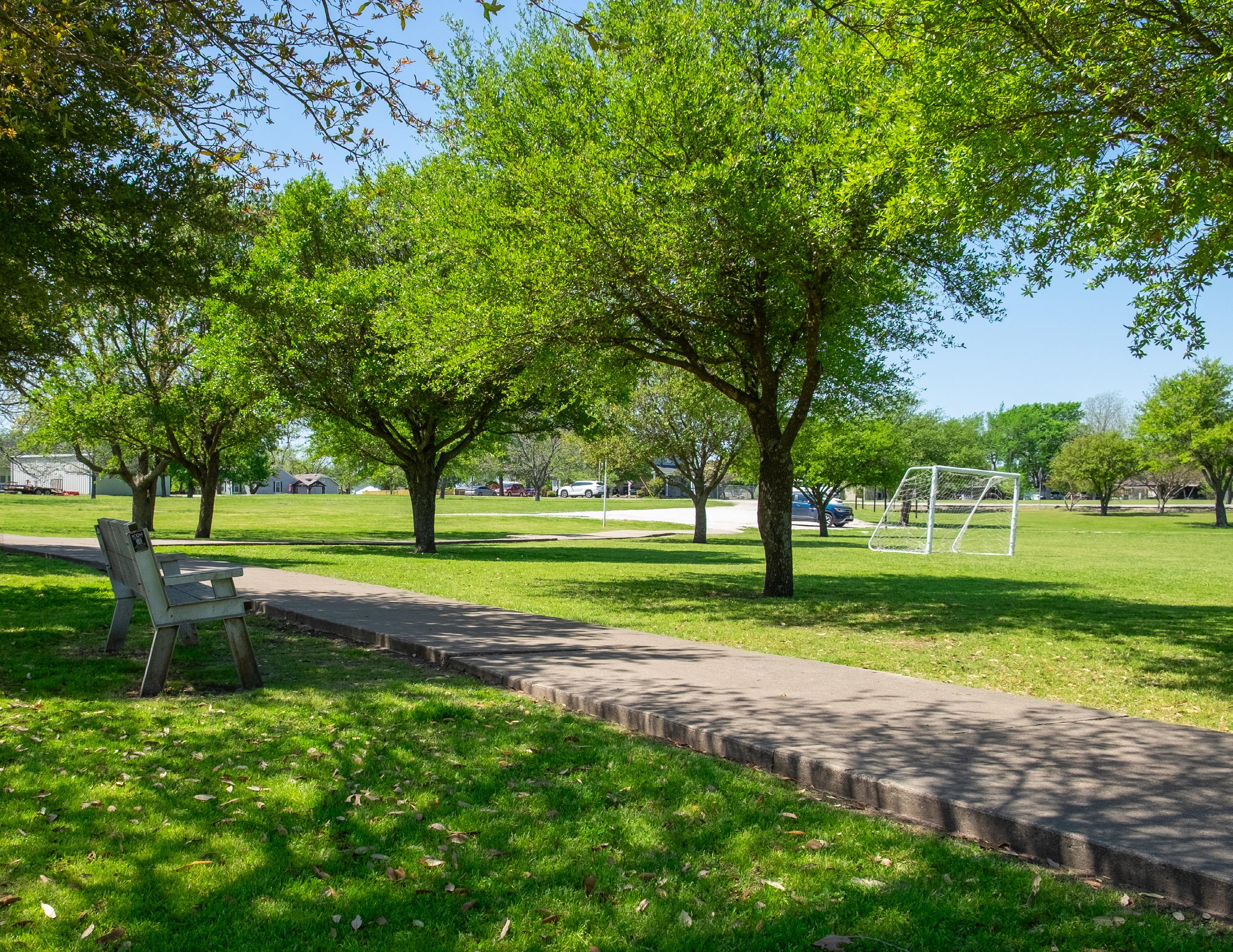
The Royse City community expects and deserves a high-quality park system. The recommendations identified in this plan will not only increase the community’s satisfaction with the park system, but will improve recreational opportunities, the physical health and well-being of the community, the environmental sustainability, and improve the local economy.
The City’s investment in the park system is critical to the long-term success of Royse City. Residents should be encouraged to safely and comfortably utilize parks within Royse City, and not be expected to travel outside the city to meet these needs.
The City developed this plan with significant public engagement, and this should not end here. It’s crucial for the City to continue meeting with the public to identify new recreational amenities and programs. This plan is intended to be a flexible guide for the city over the next ten years, and if any new recreational needs or opportunities arises, the city should consider pursuing them.
This plan should be a next step for Royse City; however, needs and opportunities will change over time. The City should develop an update to this plan in 2030 to ensure this plan is reflective of the community’s vision. The City should develop a new Parks, Recreation, Trails, and Open Space Master Plan in 2035 to guide improvements and new developments through 2045.