Bachelor's Degree in Landscape Gardening at Beijing Forestry University
PROJECT 3
ERODED SITE
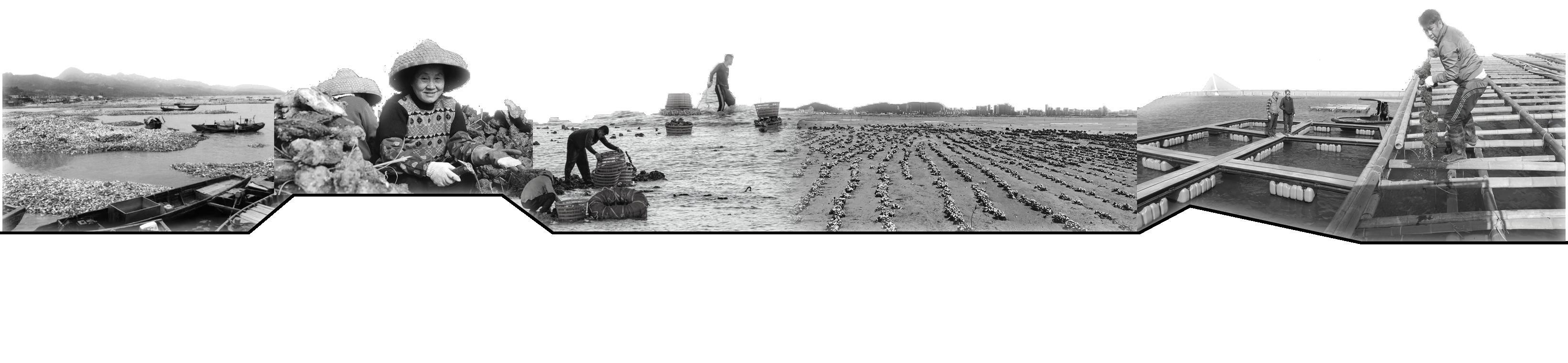
OYSTER ACROSS THE SEA
DATE: 09/2022-11/2022
M Scale
CONEY ISLAND RESHAPING
DATE: 09/2024-12/2024
M Scale
PROJECT 4
ABANDONDED SITE BETWEEN THE DRUM TOWERS
DATE: 07/2022-09/2022
S Scale
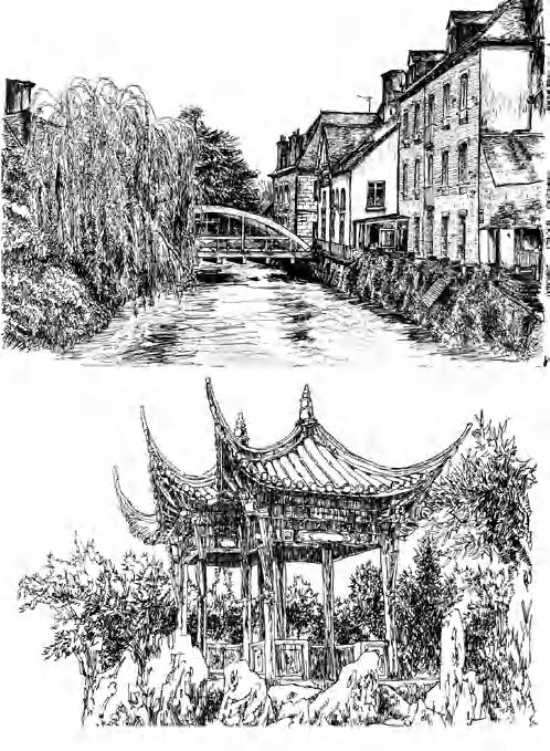
PROJECT 5 & MORE OTHER WORKS FROM SCHOOL
DATE: 09/2020-09/2023
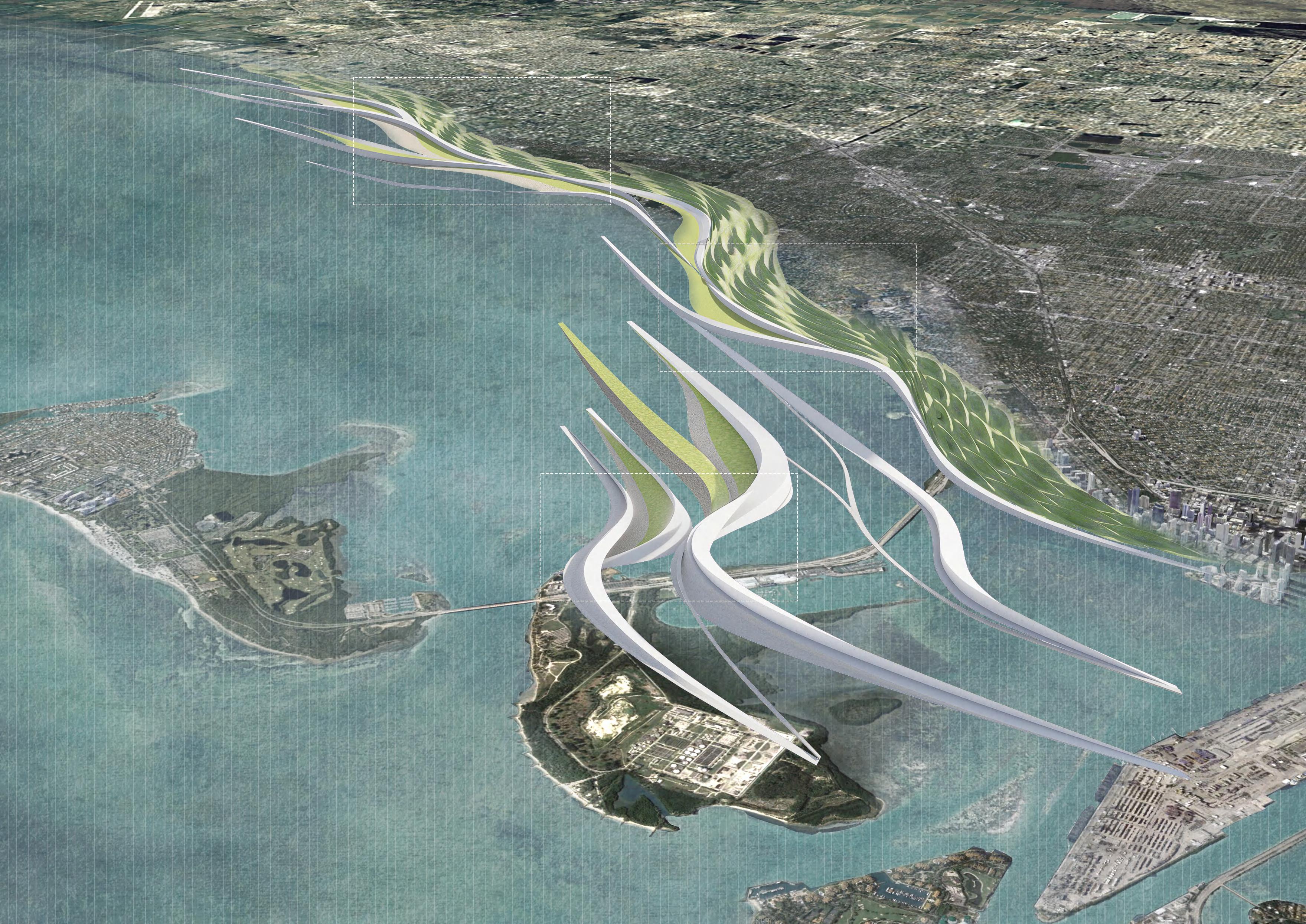
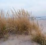
windbreak landscape along the coast of Miami
"The relationship between architecture and the environment is not only aesthetic but also an ecological responsibility. Through ecological transformation, we can create architectural landscapes that harmonize with nature."
——Ken
Yeang
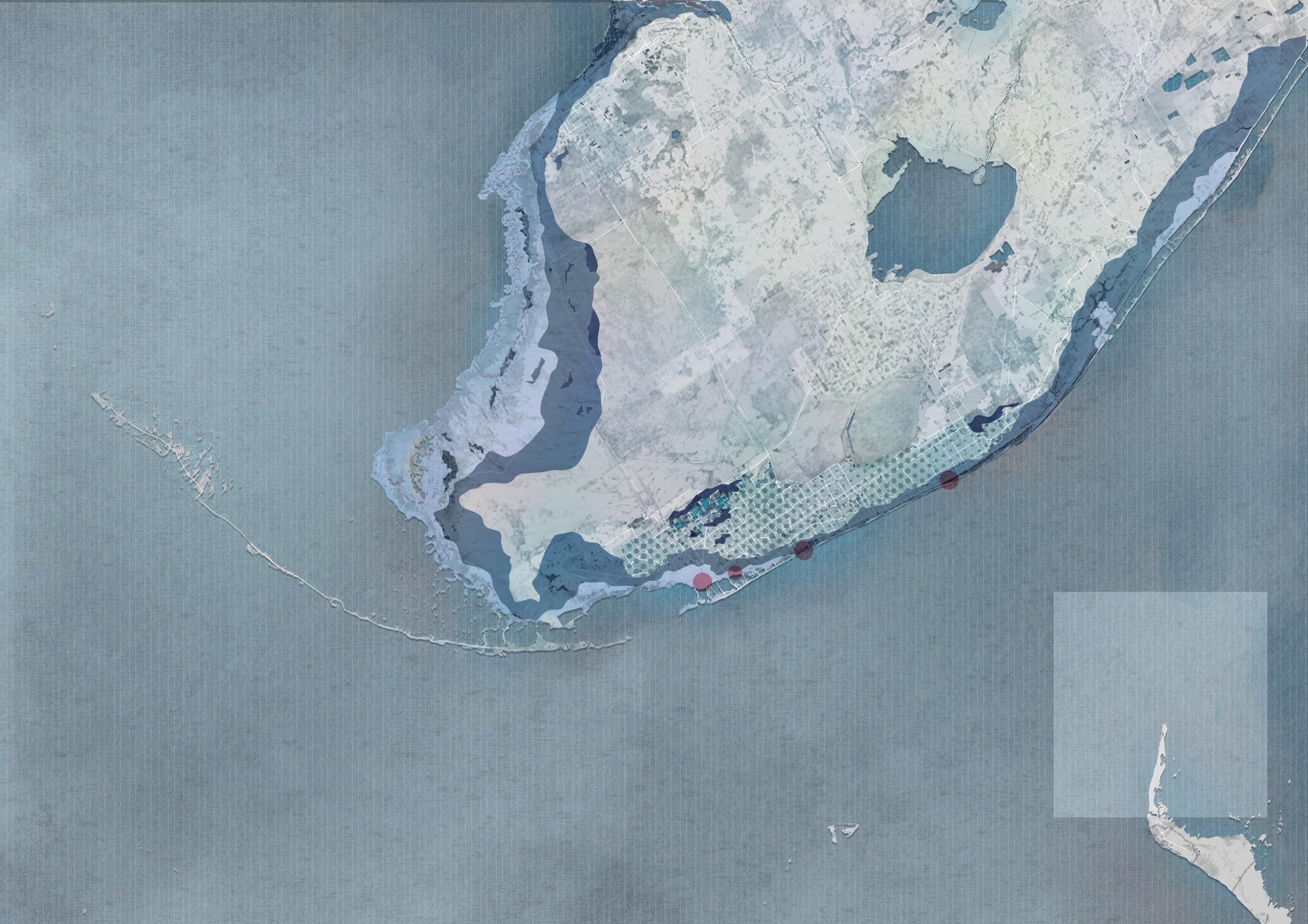
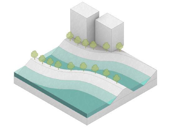
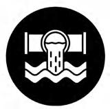
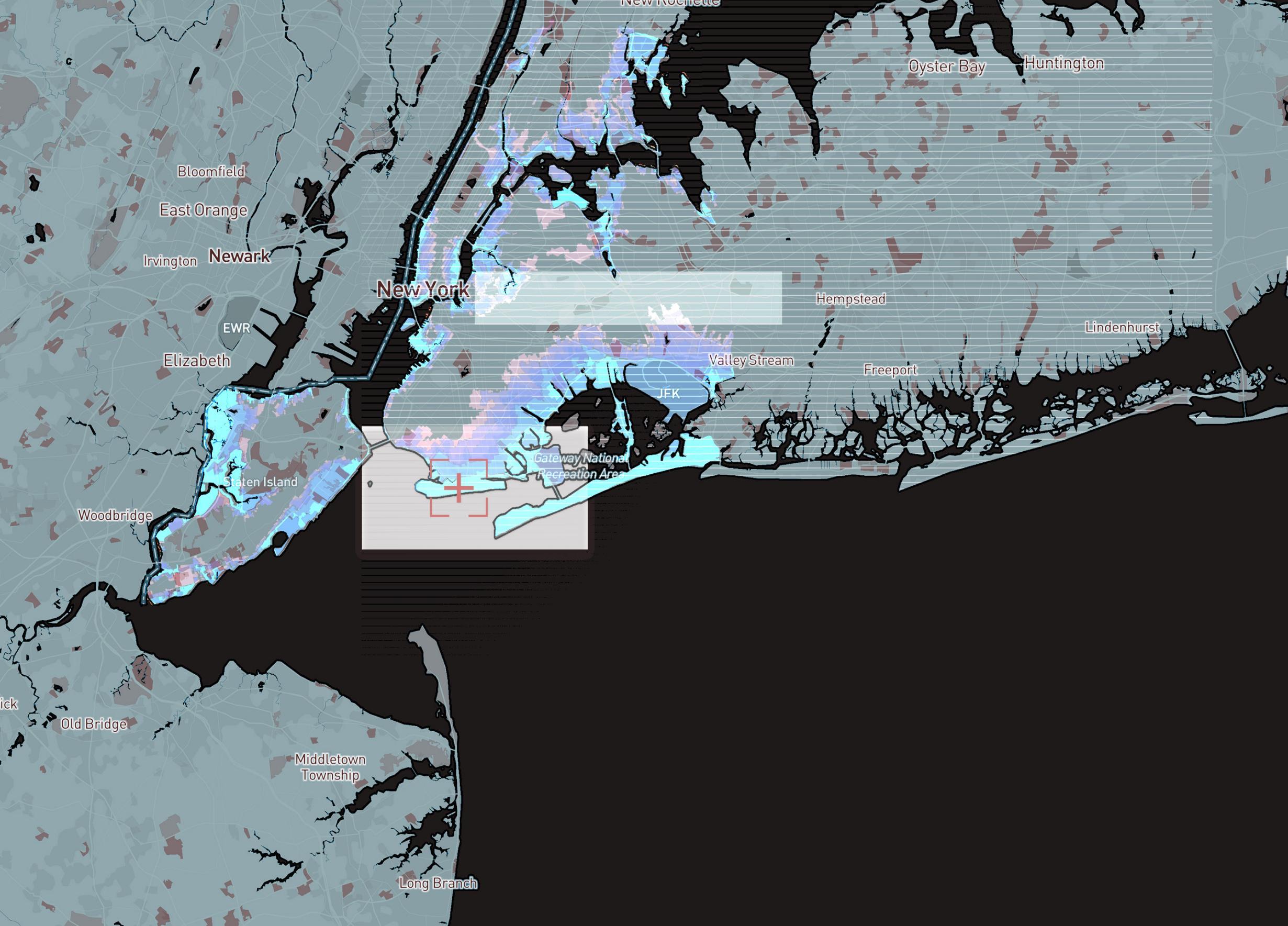
SEA LEVEL RISING & STORMWATER FLOODING ISSUE IN FLORIDA COAST
Sea level along the U.S. coastline is projected to rise, on average, 10 - 12 inches (0.25 - 0.30 meters) in the next 30 years (2020 - 2050), which will be as much as the rise measured over the last 100 years (1920 - 2020). Sea level rise will vary regionally along U.S. coasts because of changes in both land and ocean height.
INTRO
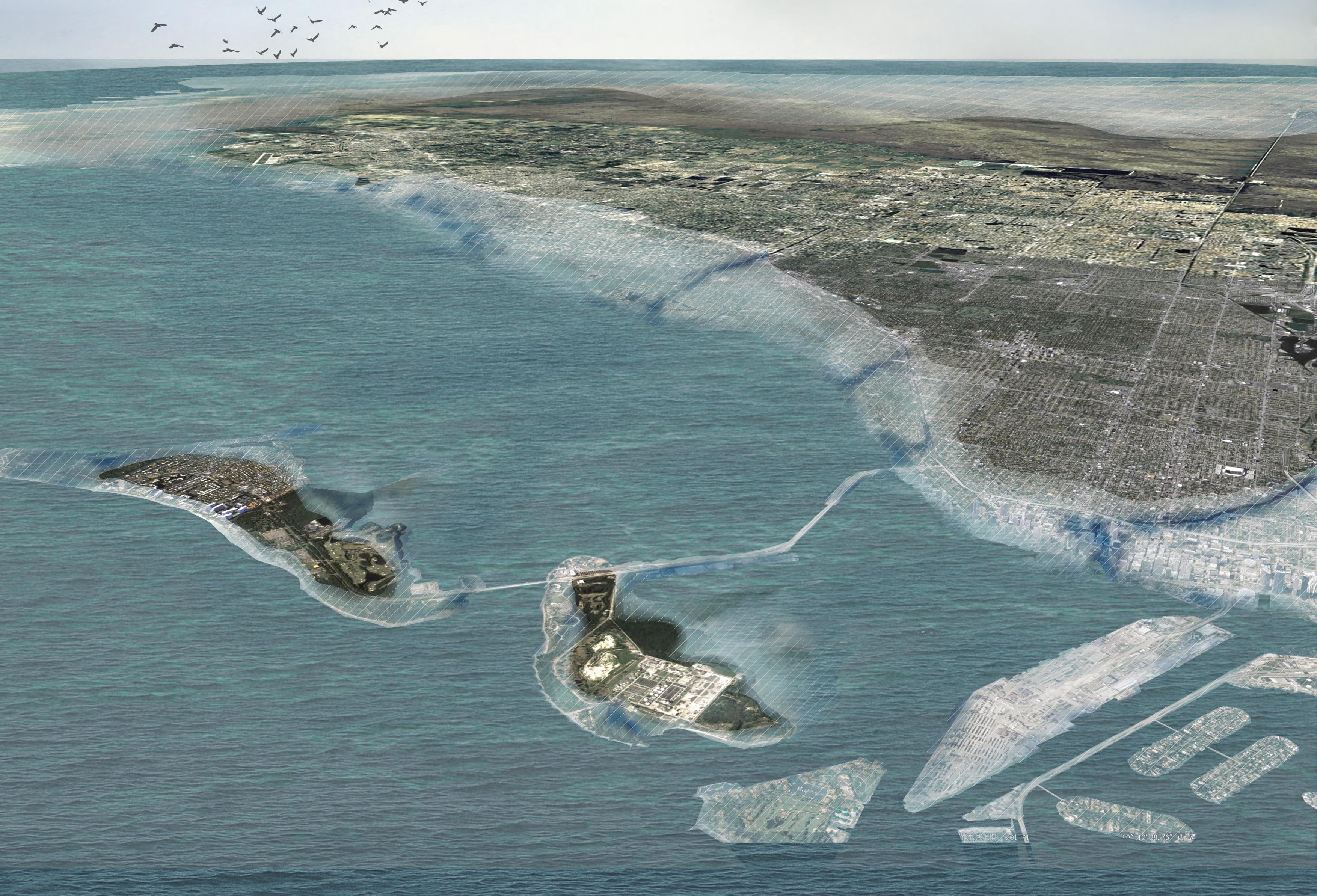
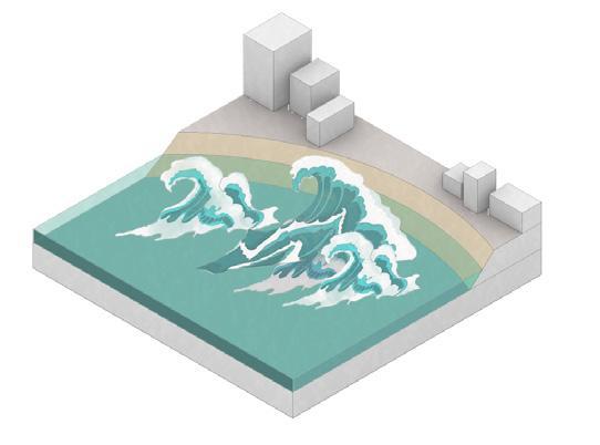
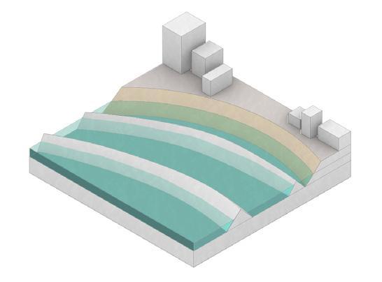
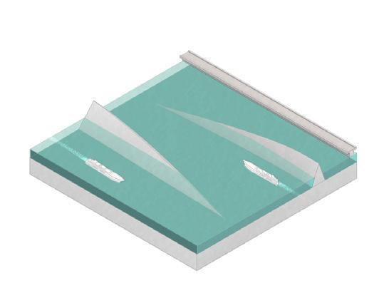
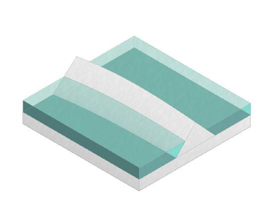
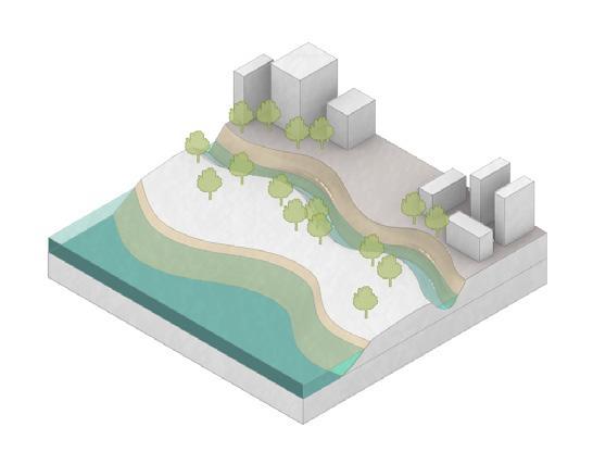
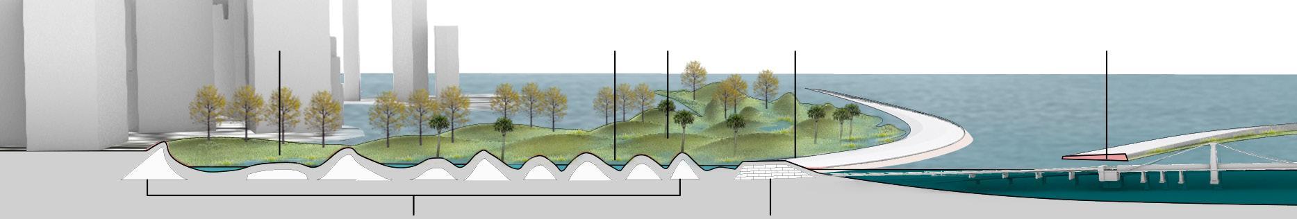
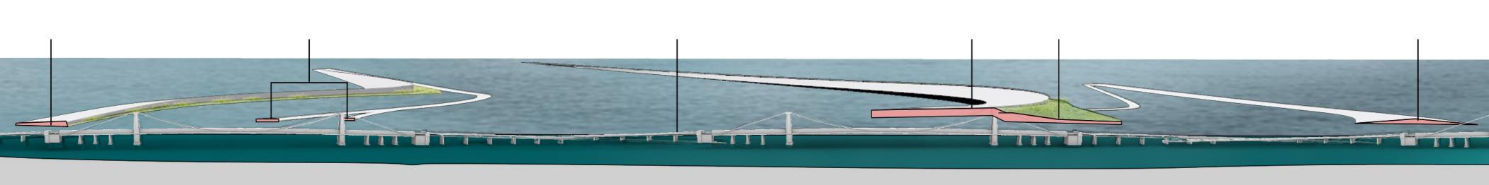
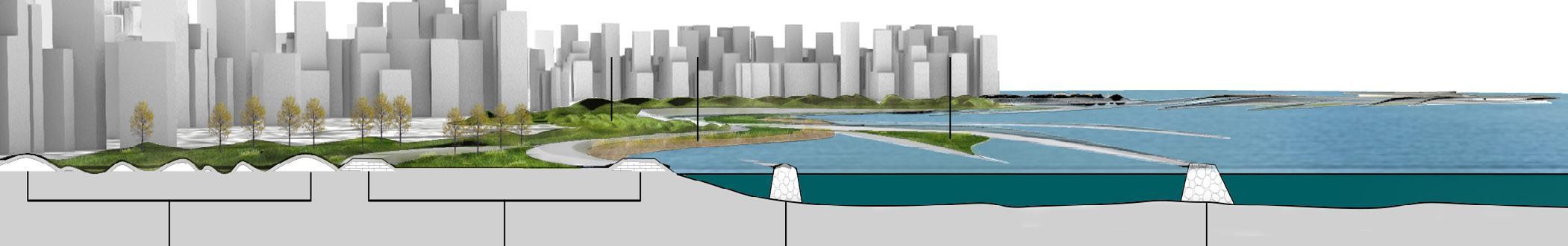
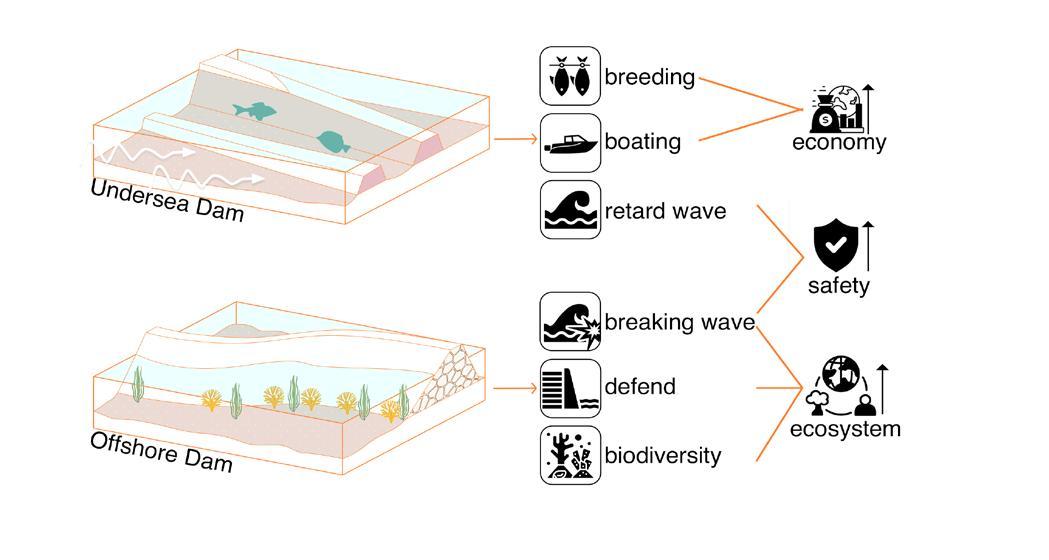
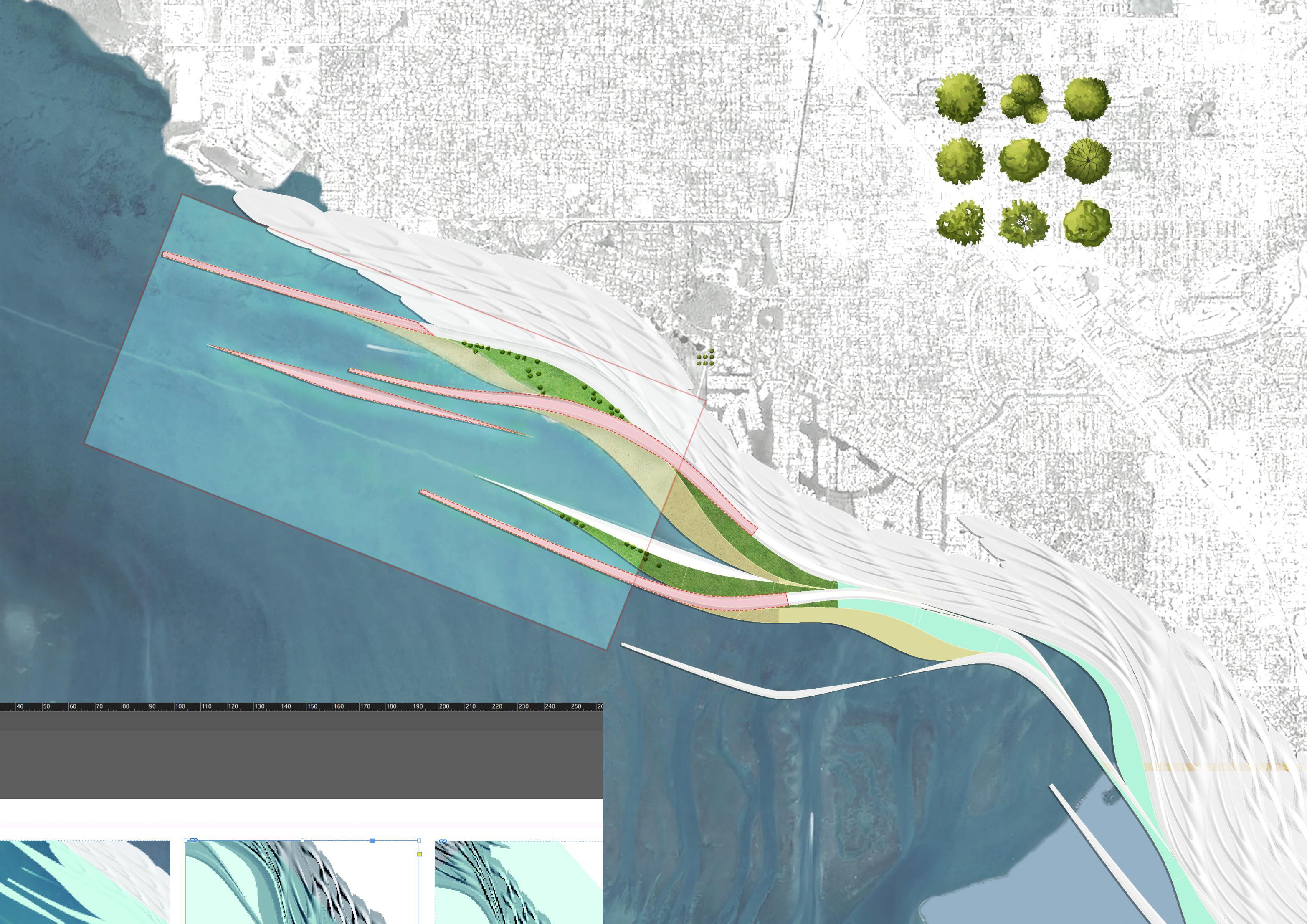
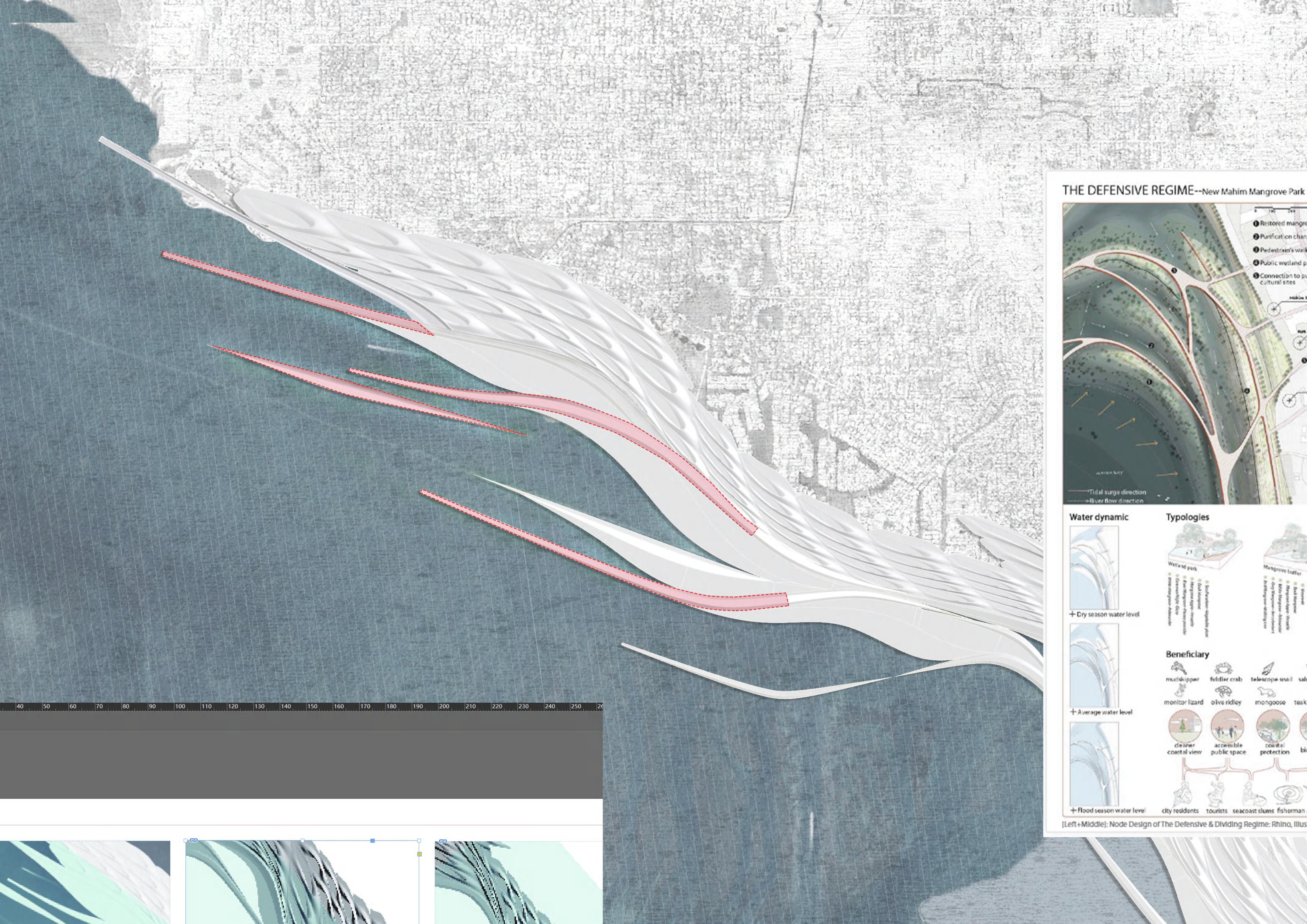
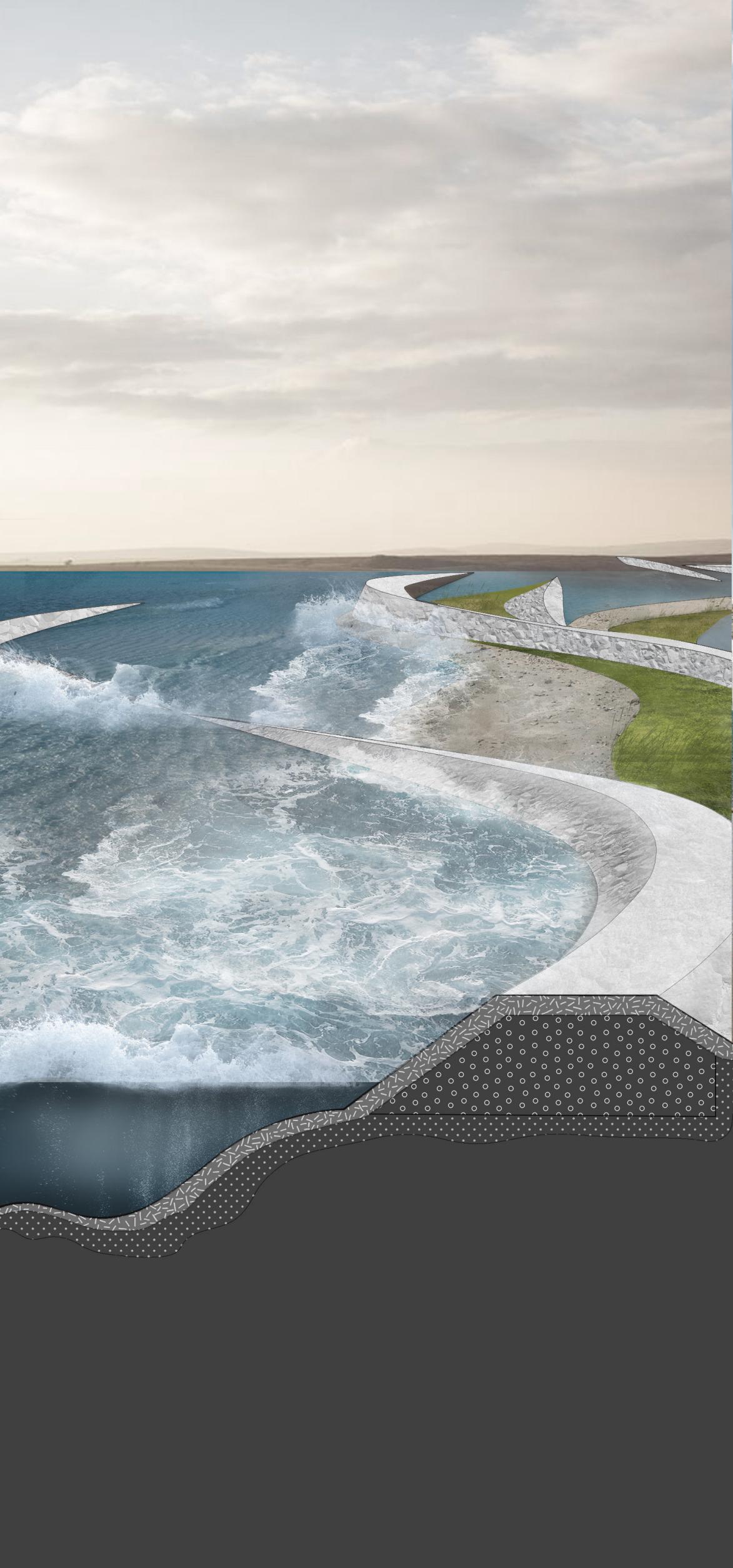
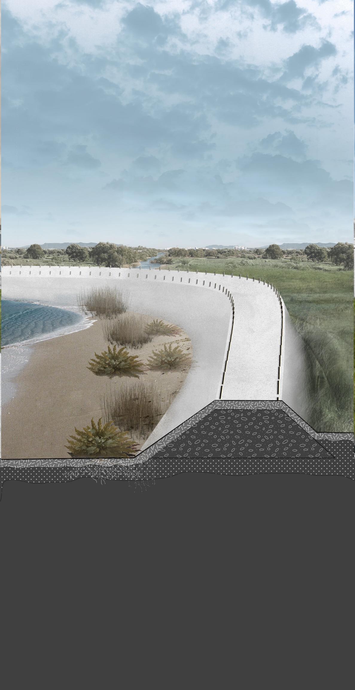
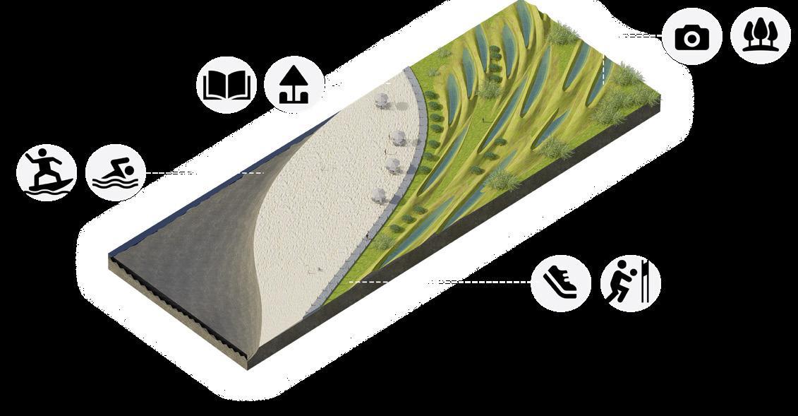
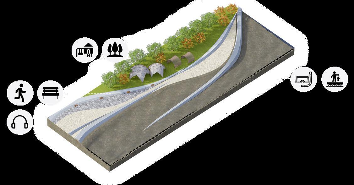
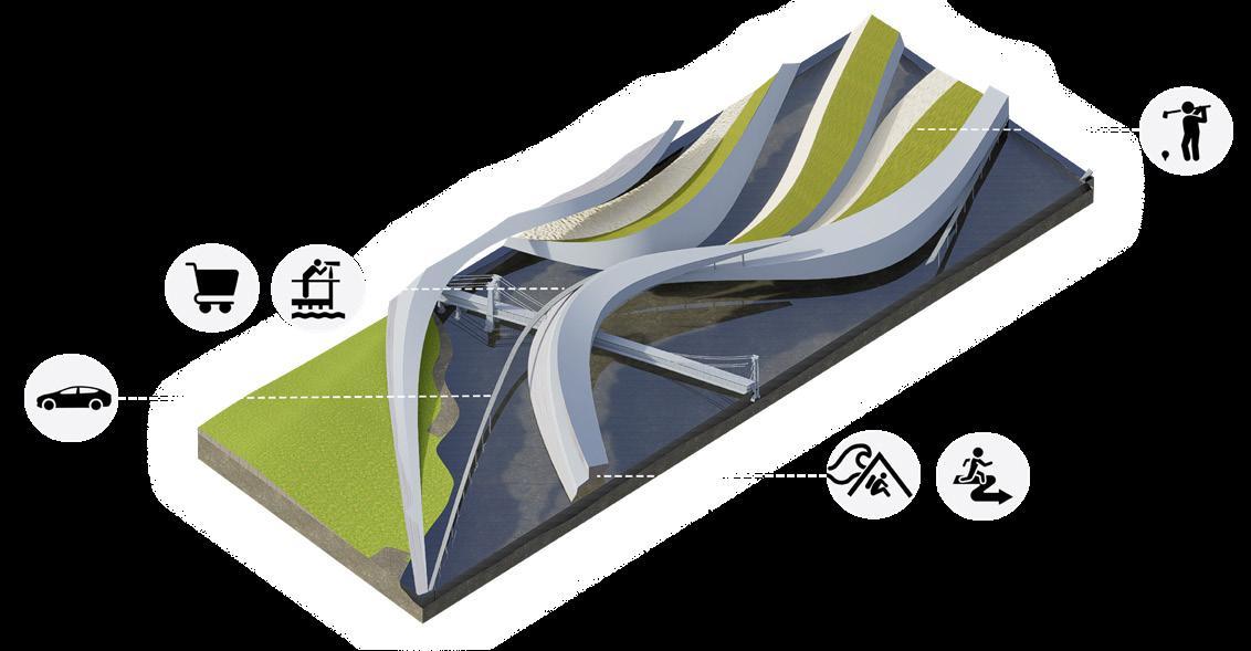
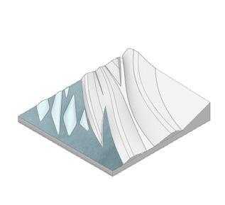
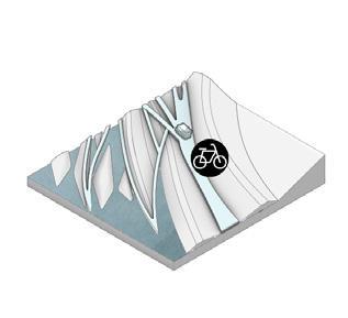
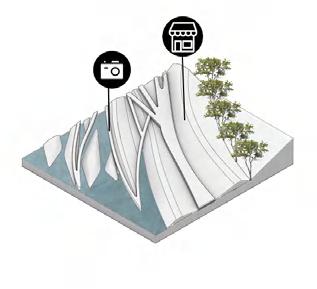
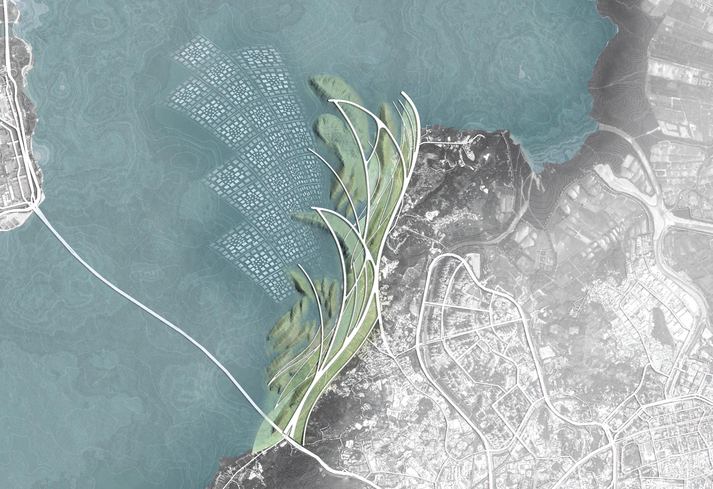
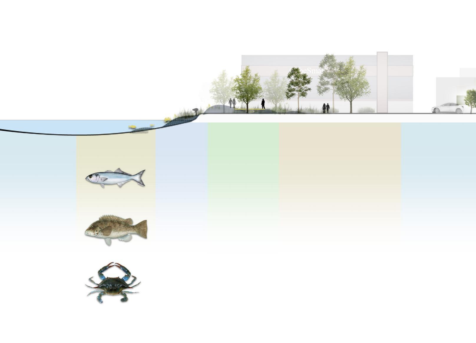
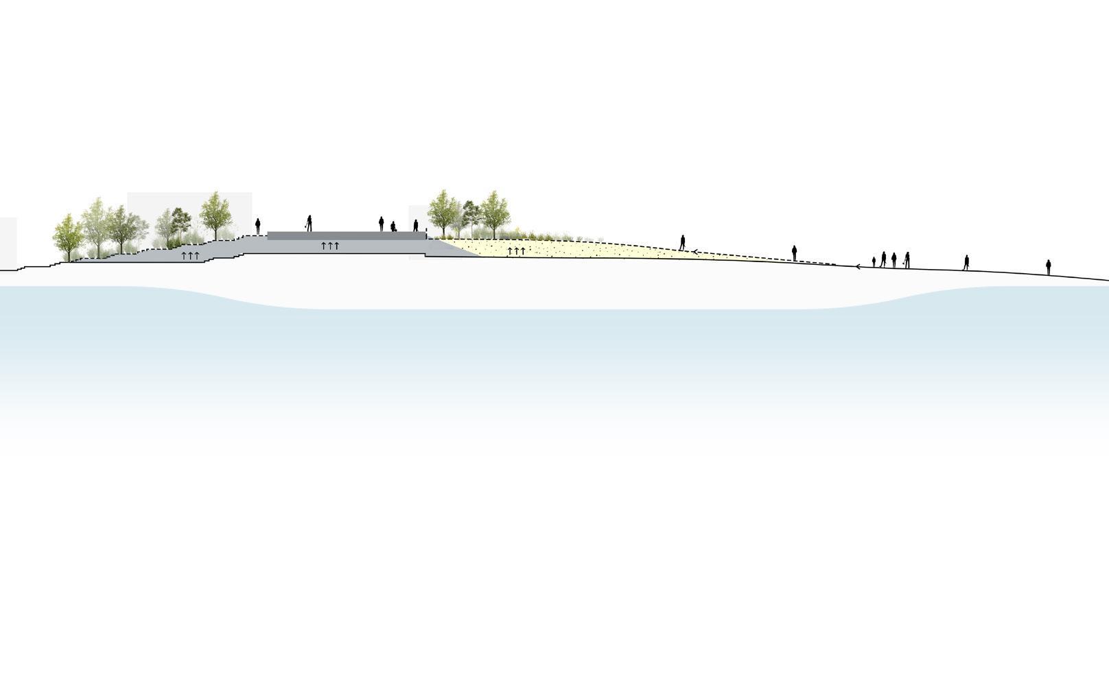
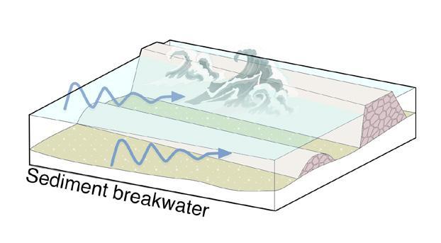
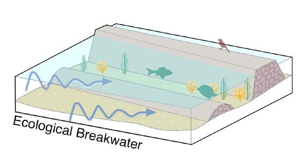
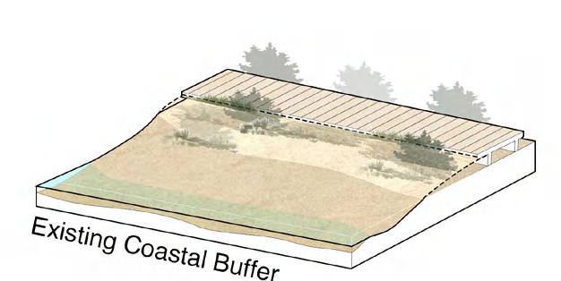
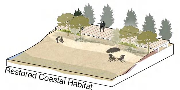
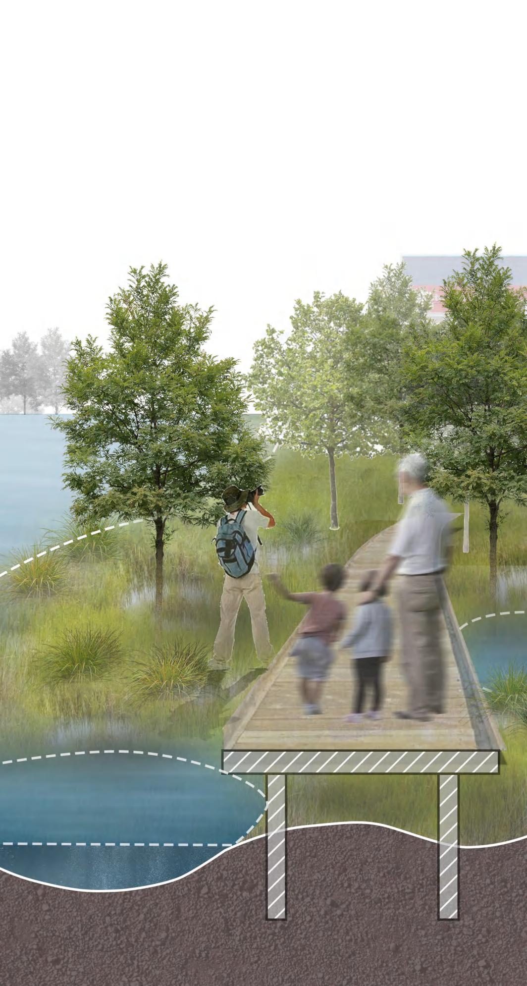
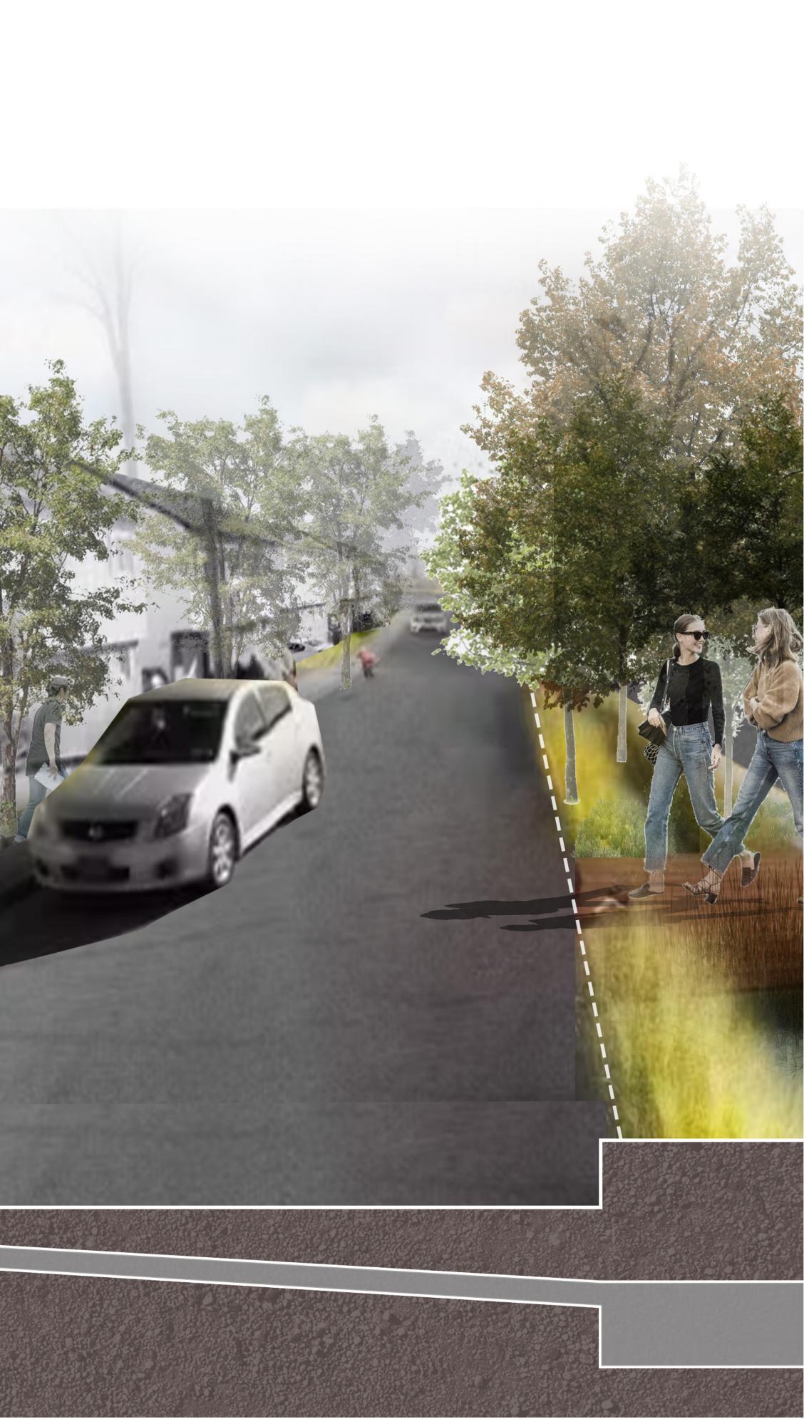
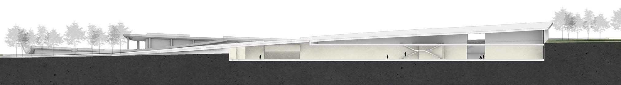
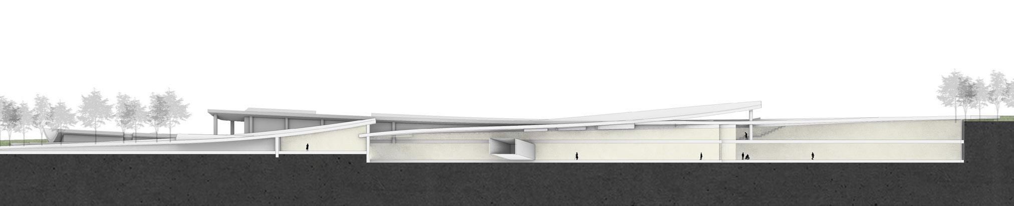
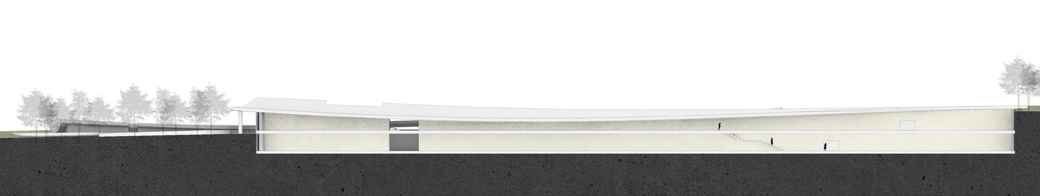
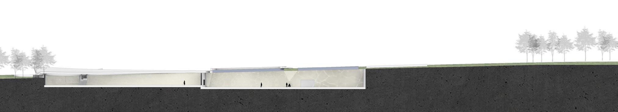
The landscape system along the Miami coast is designed to mitigate the erosion caused by wind waves from the western Atlantic Ocean and to mitigate sea level rise. It enriches the disaster protection system along the coast, and connects three layers of protection devices with the shape of streamline, which has a beautiful effect.
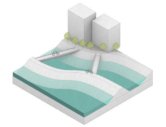
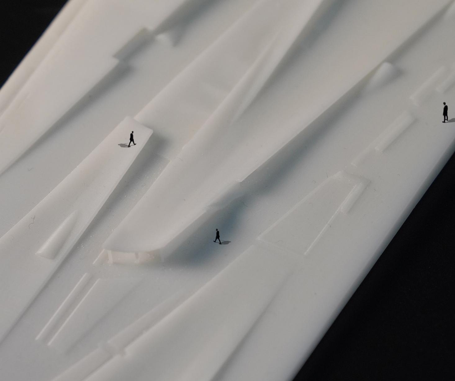
Pedestrians
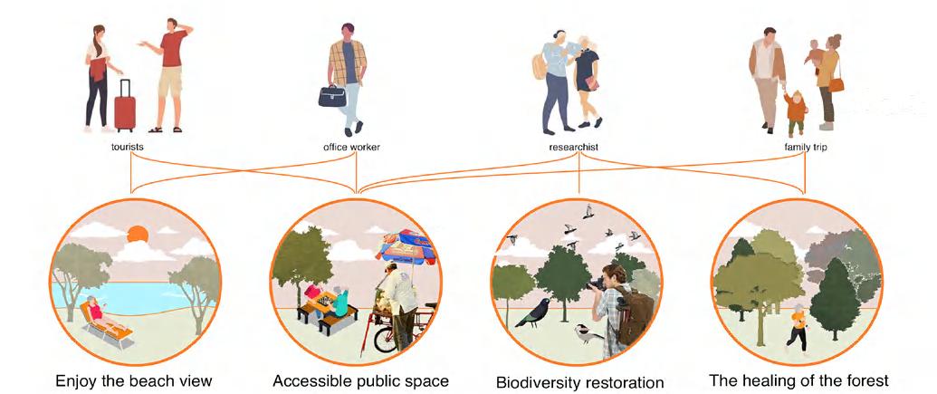
Three bird 's-eye views show the rich activity in the landscape.
Terrain
Dam Wind defense
Cross-sea architecture
Bridge
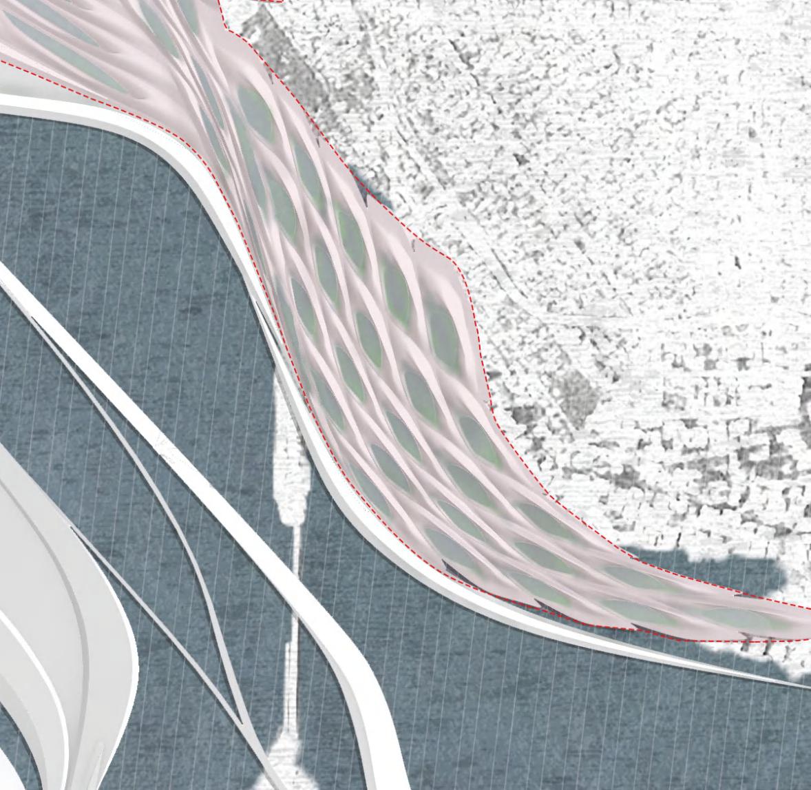
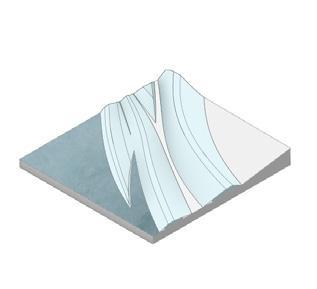
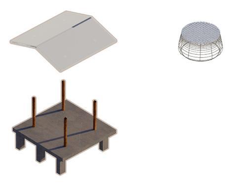
Resin model showing structure
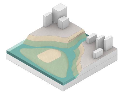
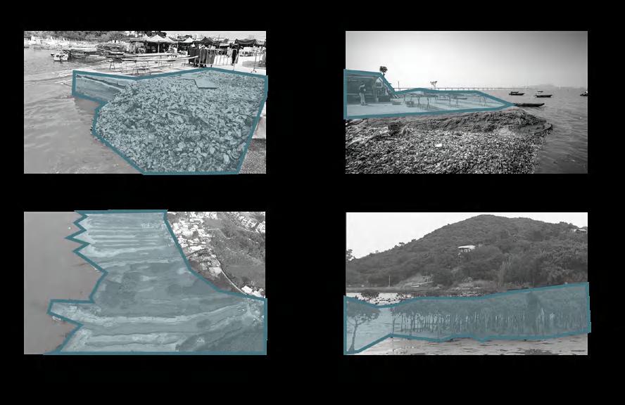
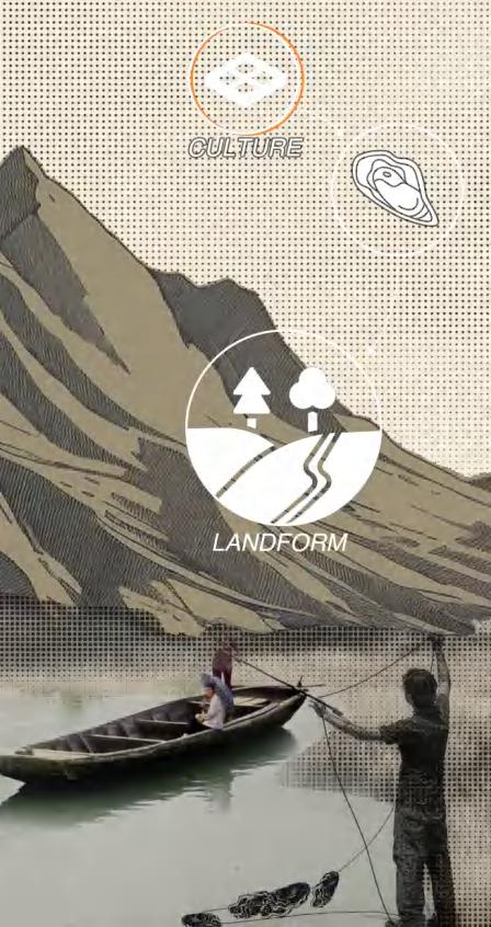
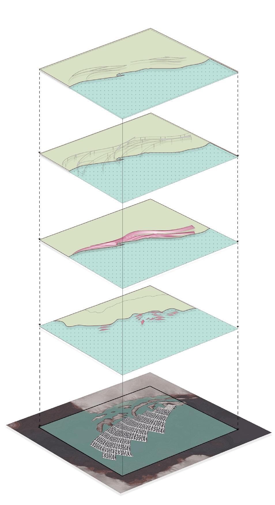
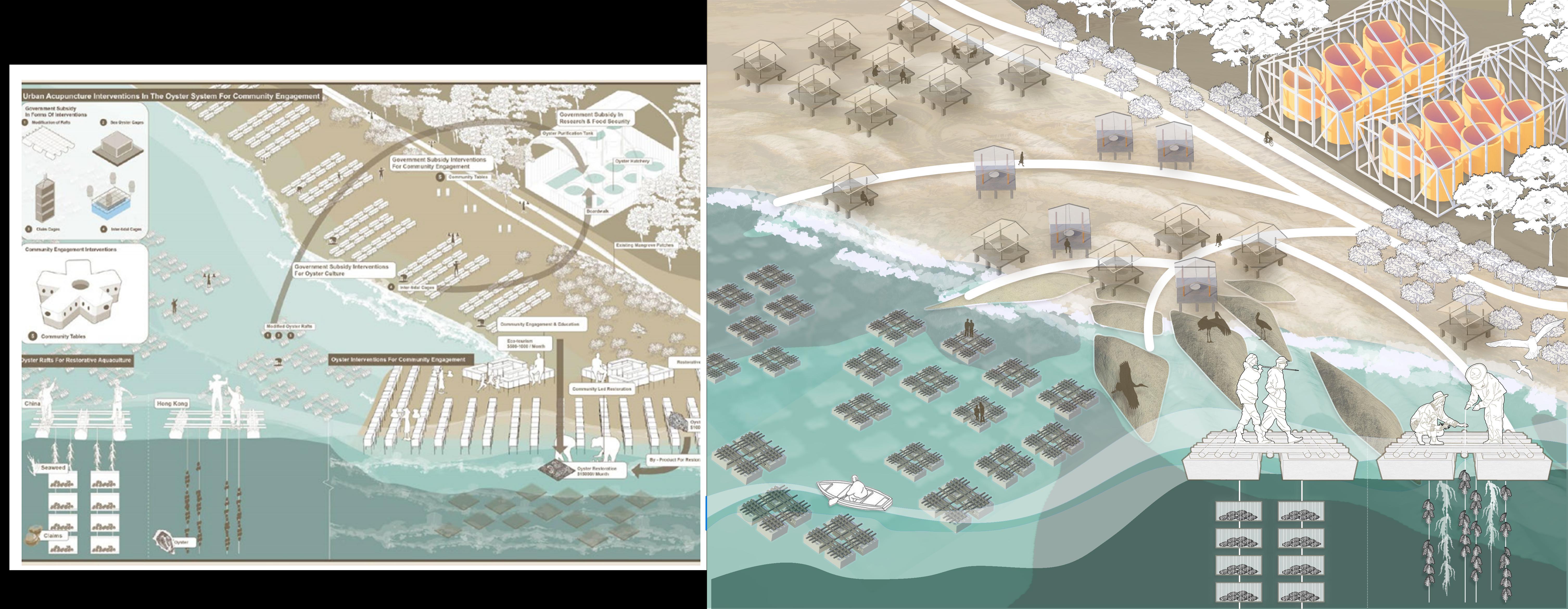
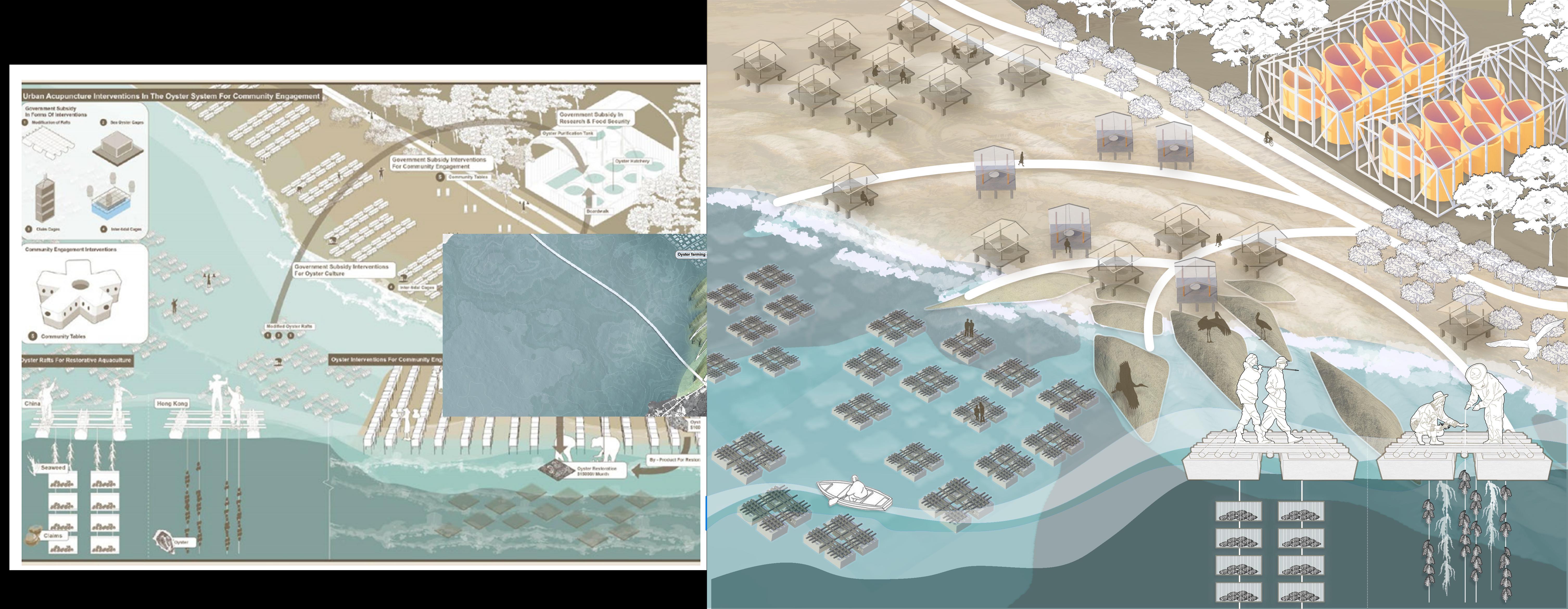
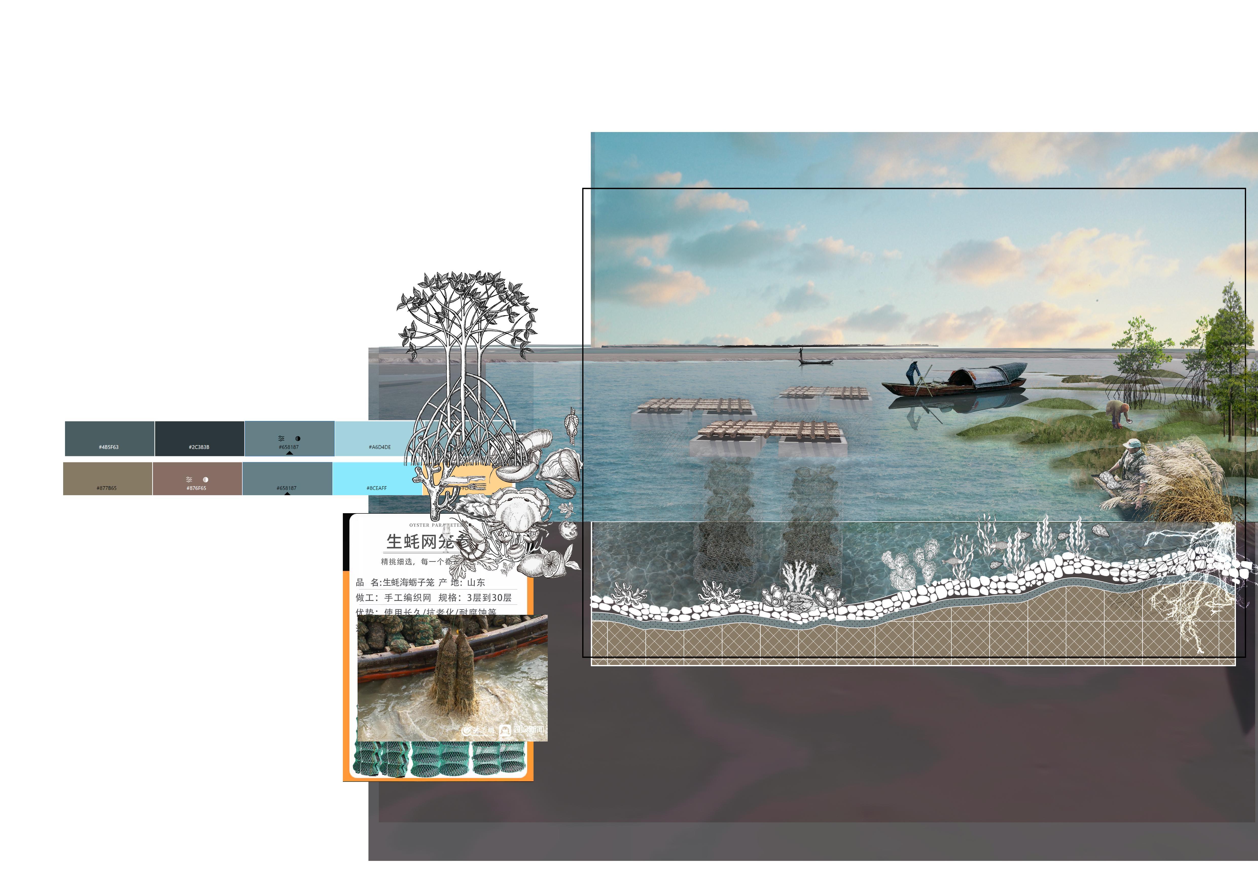
OYSTER ACROSS THE SEA
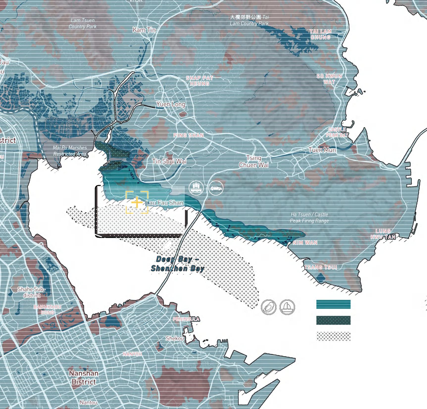
Ecological restoration project on the border between Shenzhen and Hong Kong
"The beauty of a landscape lies not only in its appearance but in its ecological functionality. Through transformation and preservation of ecosystems, we can create more sustainable and healthier environments."
——Martha Schwartz
Location: Lau Fau Shan, Hong Kong
Instructor: XiYue Wang, Xi Zheng Time: 09/2022-11/2022
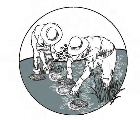
Discription:Facing multiple challenges, the area had been under scrutiny due to severe industrial pollution in the Shenzhen Bay area, decline in oyster farming, a somewhat unkempt community environment, and irregular housing arrangements.
Ecological restoration project on the border between Shenzhen and Hong Kong
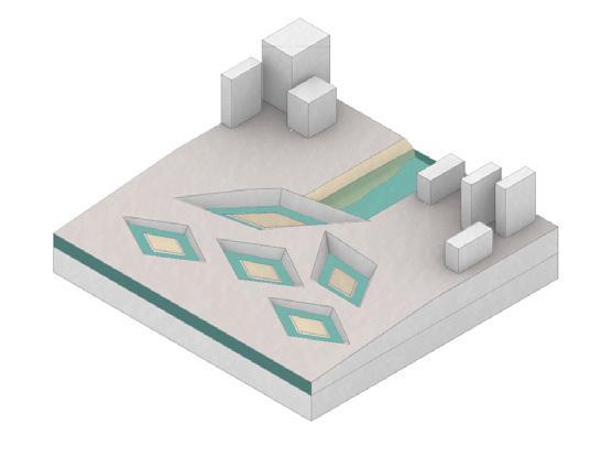
OYSTER INDUSTRY ON THE SHENZHEN-HONG KONG BORDER
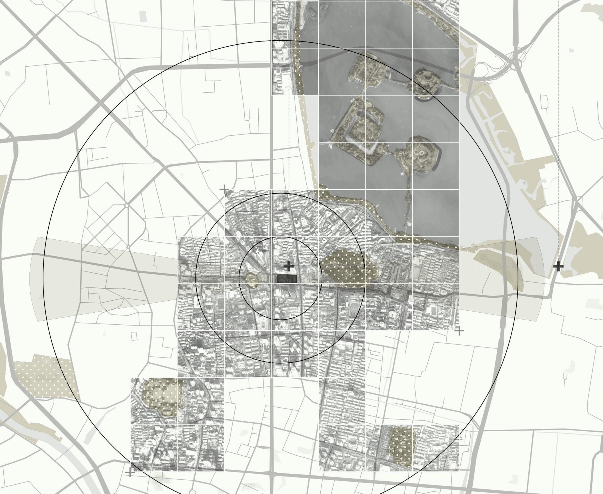
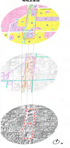
SITE
Lau Fau Shan Comunnity
Lau Fau Shan
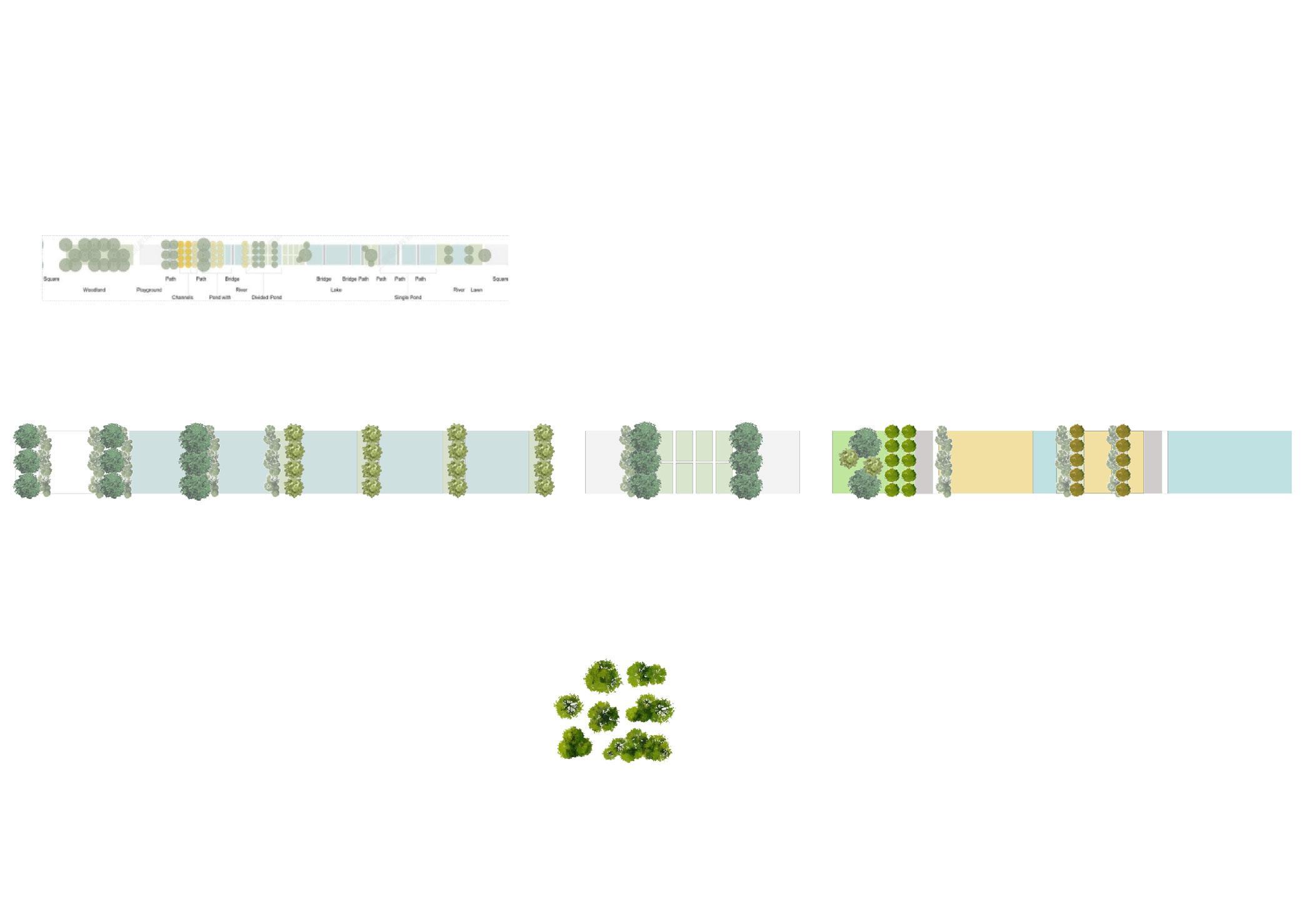
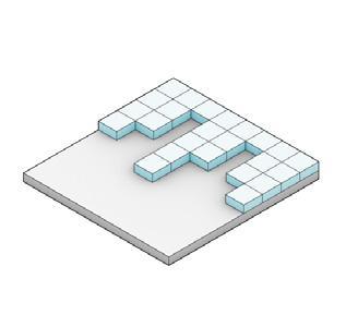
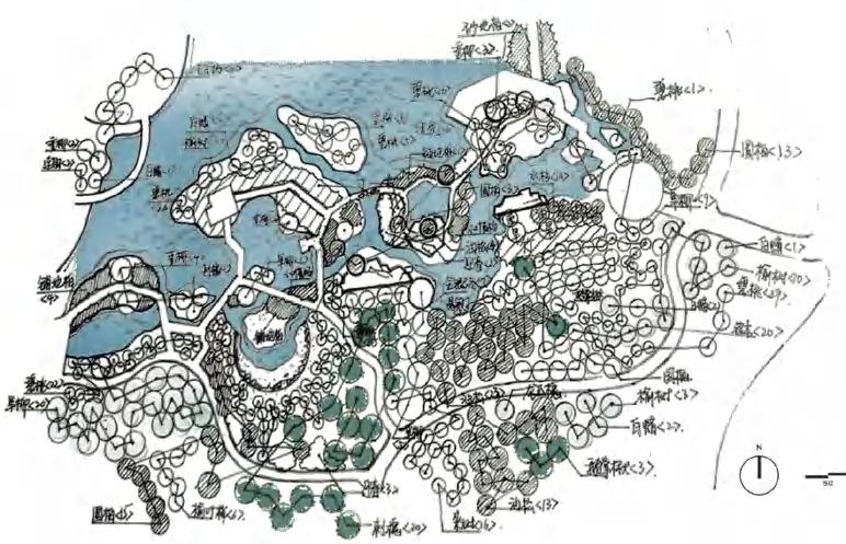
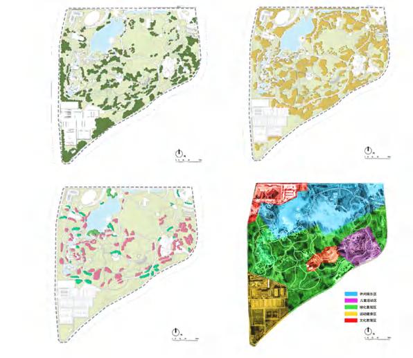
MASTER PLAN
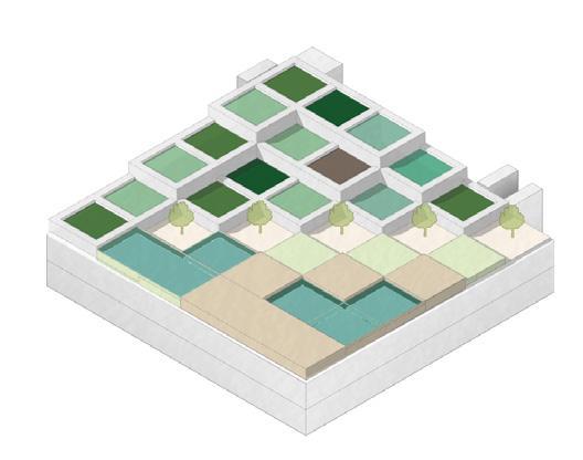
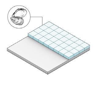
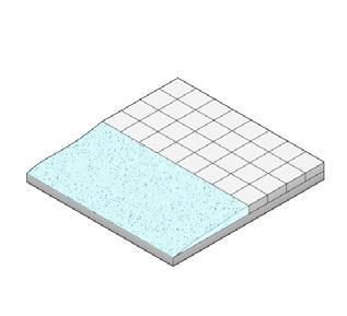
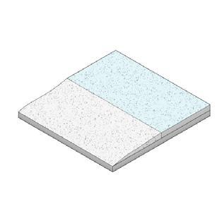
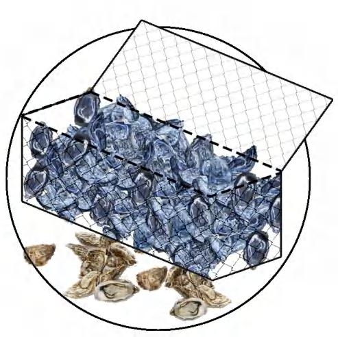
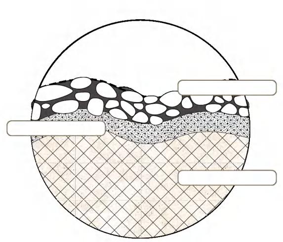
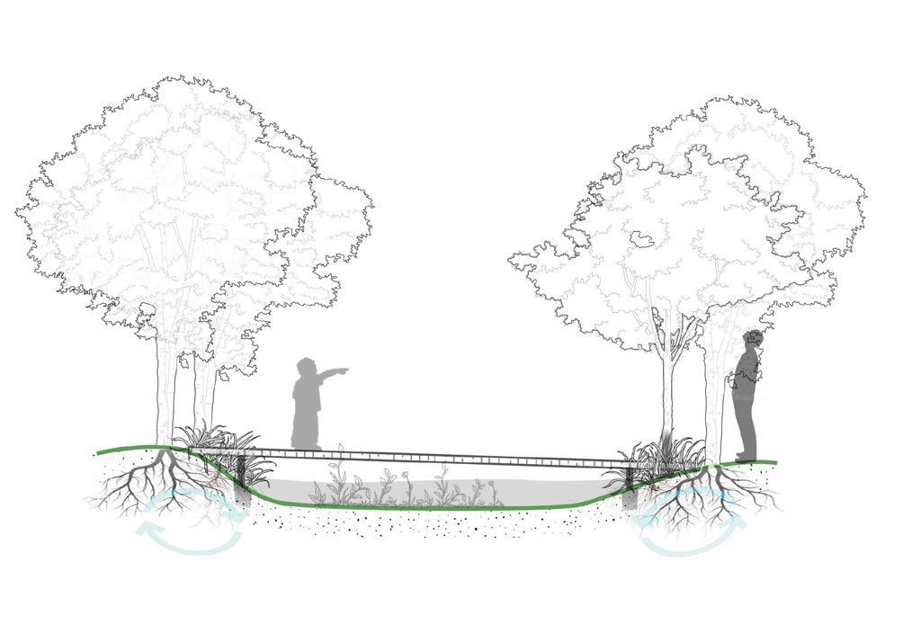
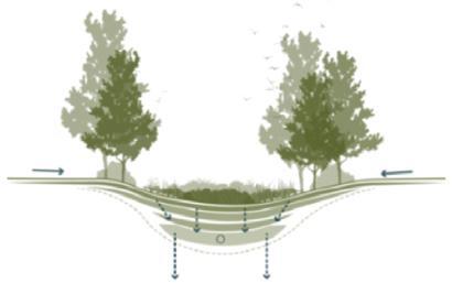
OYSTER FARMING SECTION
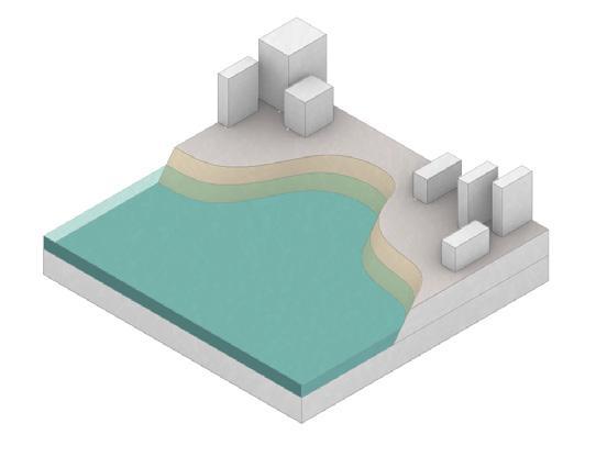
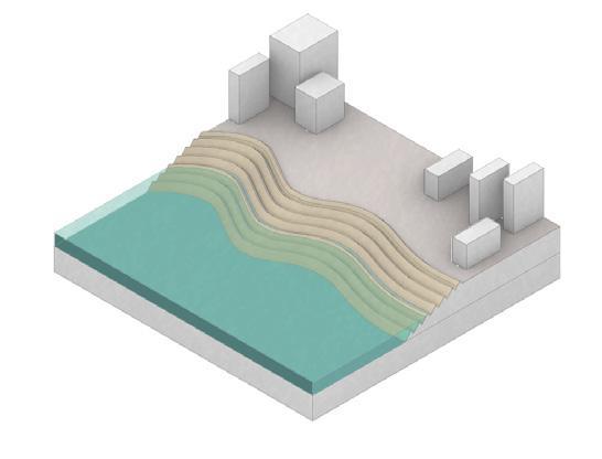
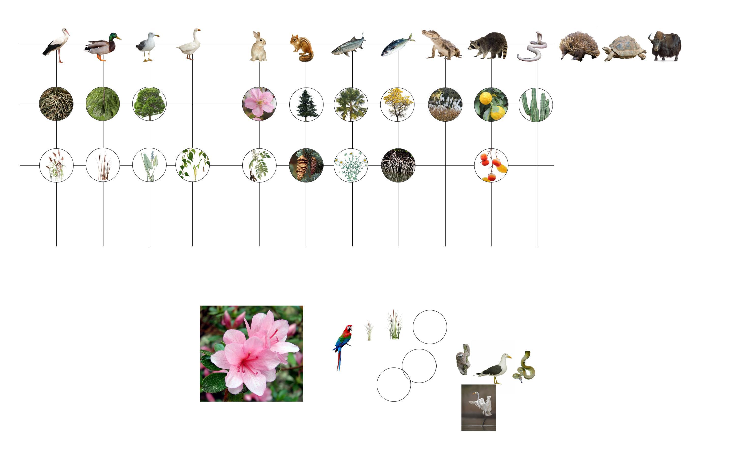
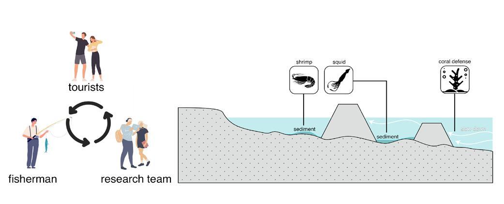
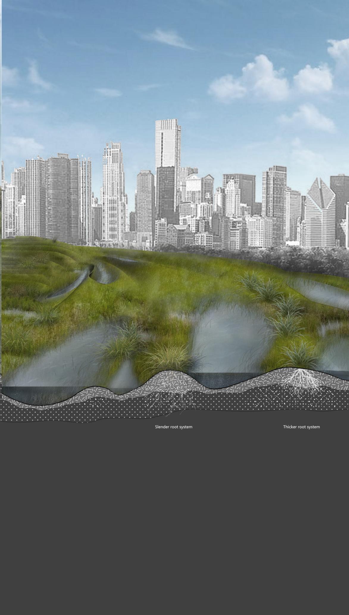
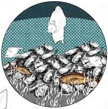
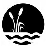
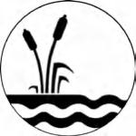
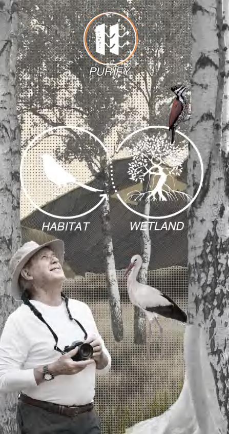
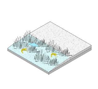
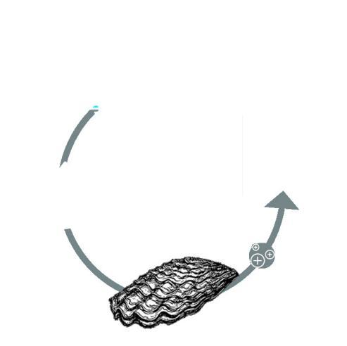
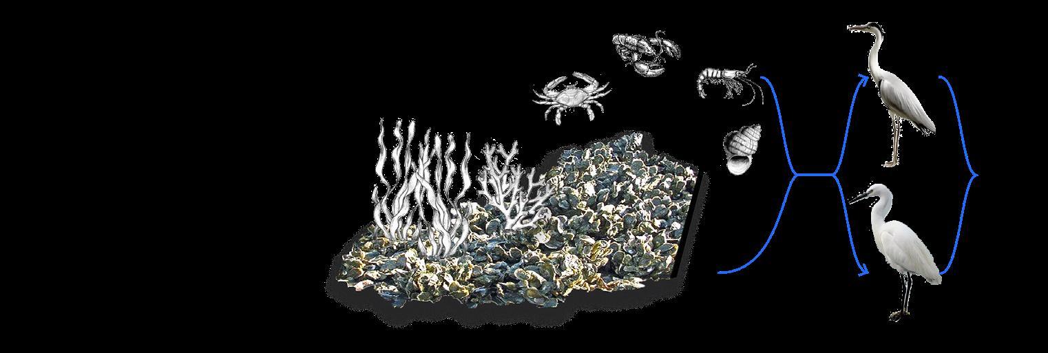
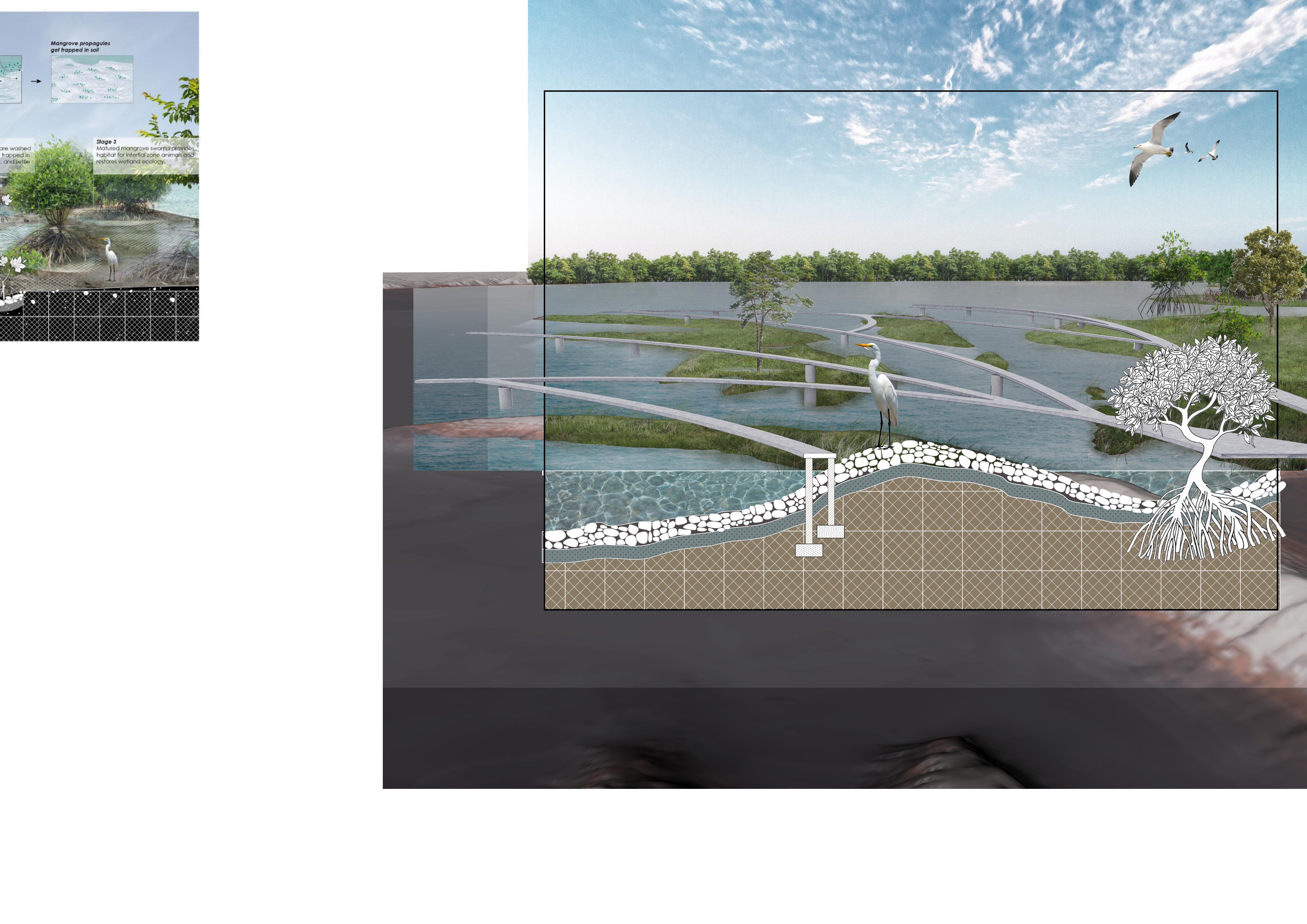
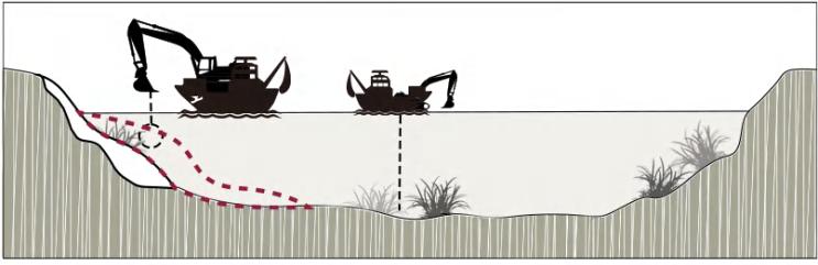
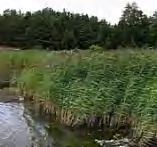
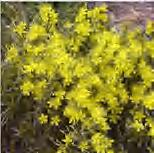
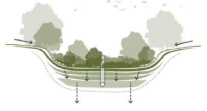
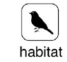
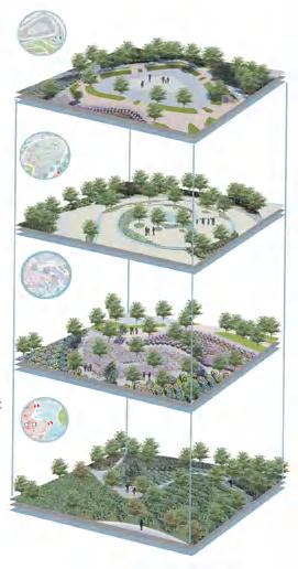
stage2:Rare animal habitat Oyster wetlands provide rich food resources and a safe breeding environment, attracting a variety of wildlife, including birds, fish, amphibians and more.
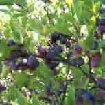
stage1:Mangrove planting
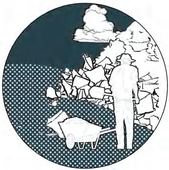
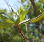
Planting mangrove saplings on the shore can achieve soil fixation, slow down the speed of water flow, reduce the erosion of sediment, and thus play a role in soil consolidation.
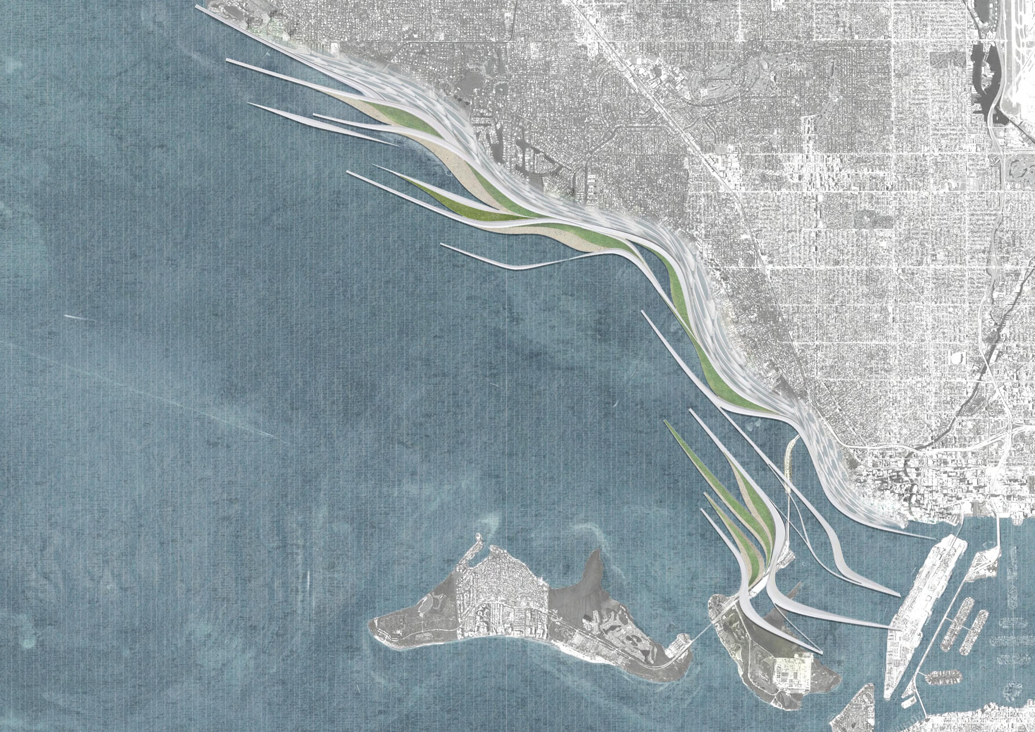
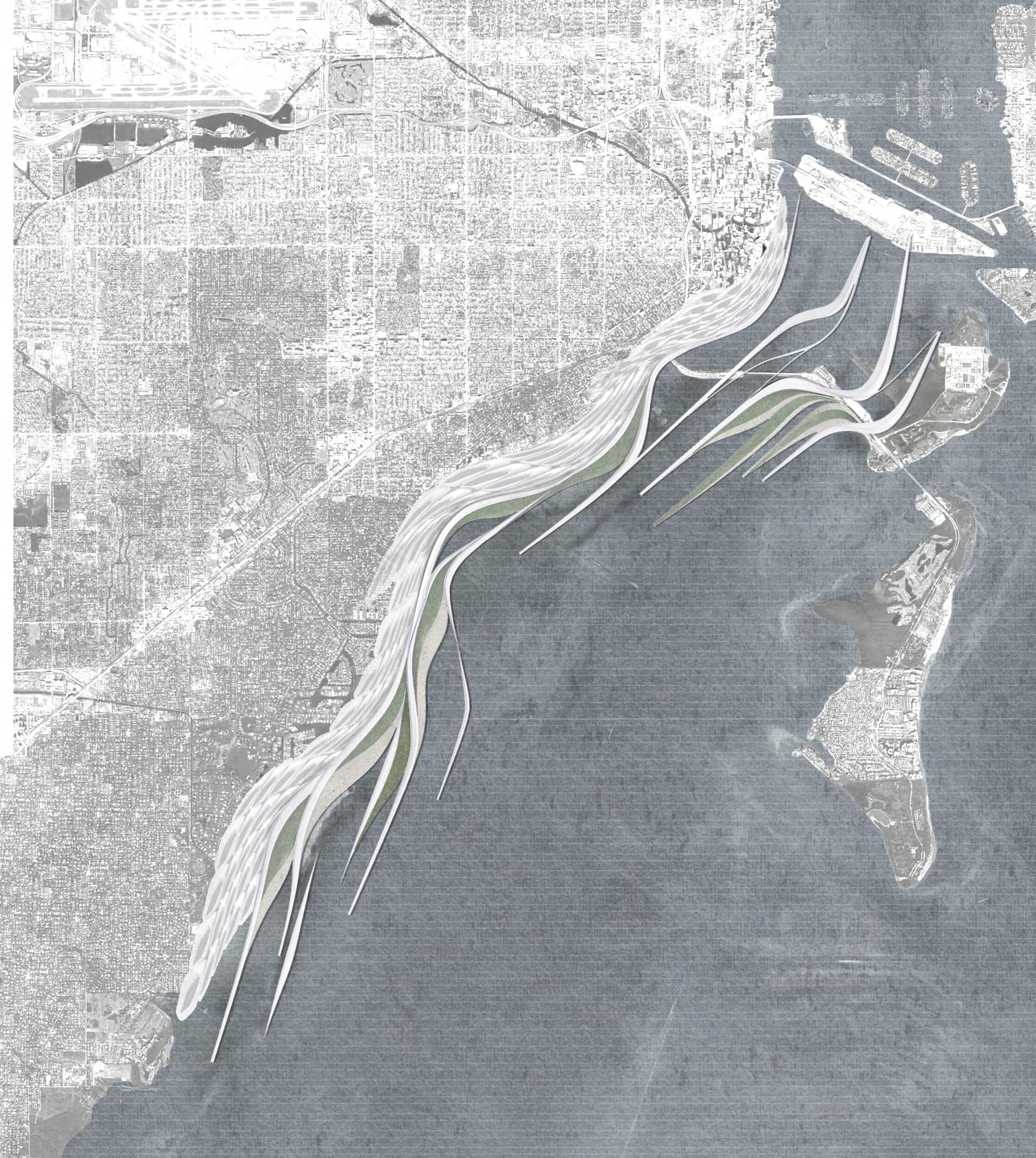
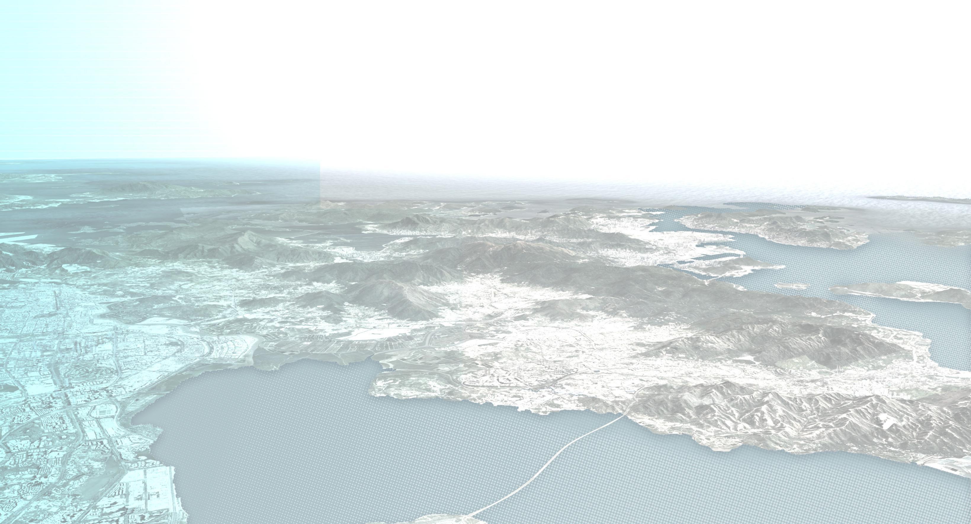
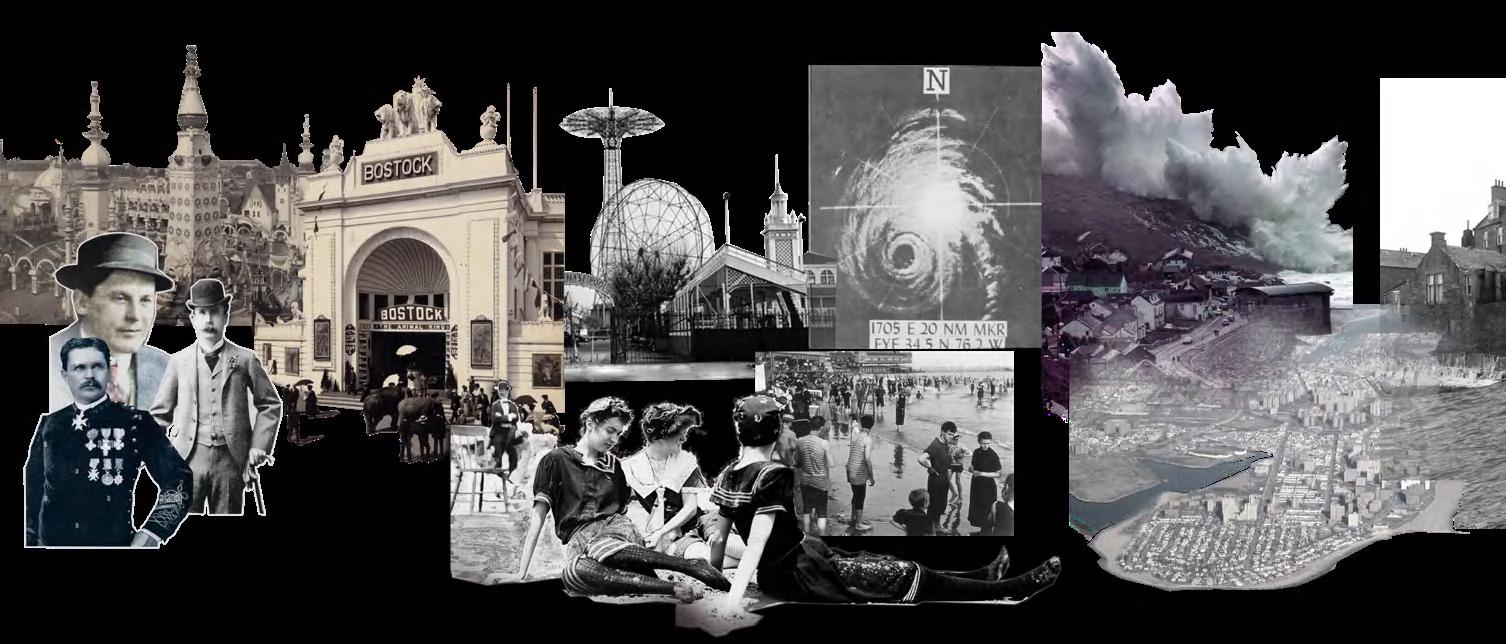
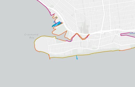
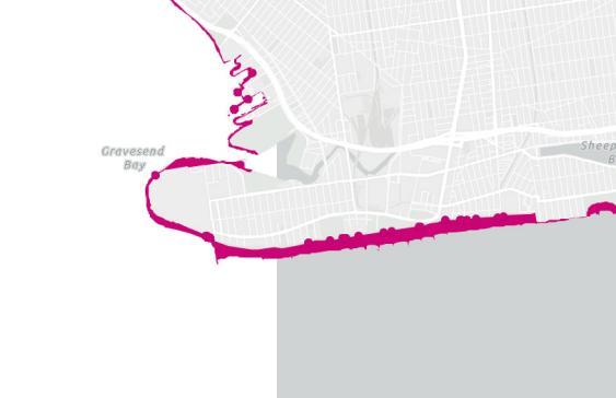
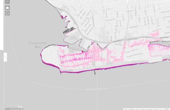
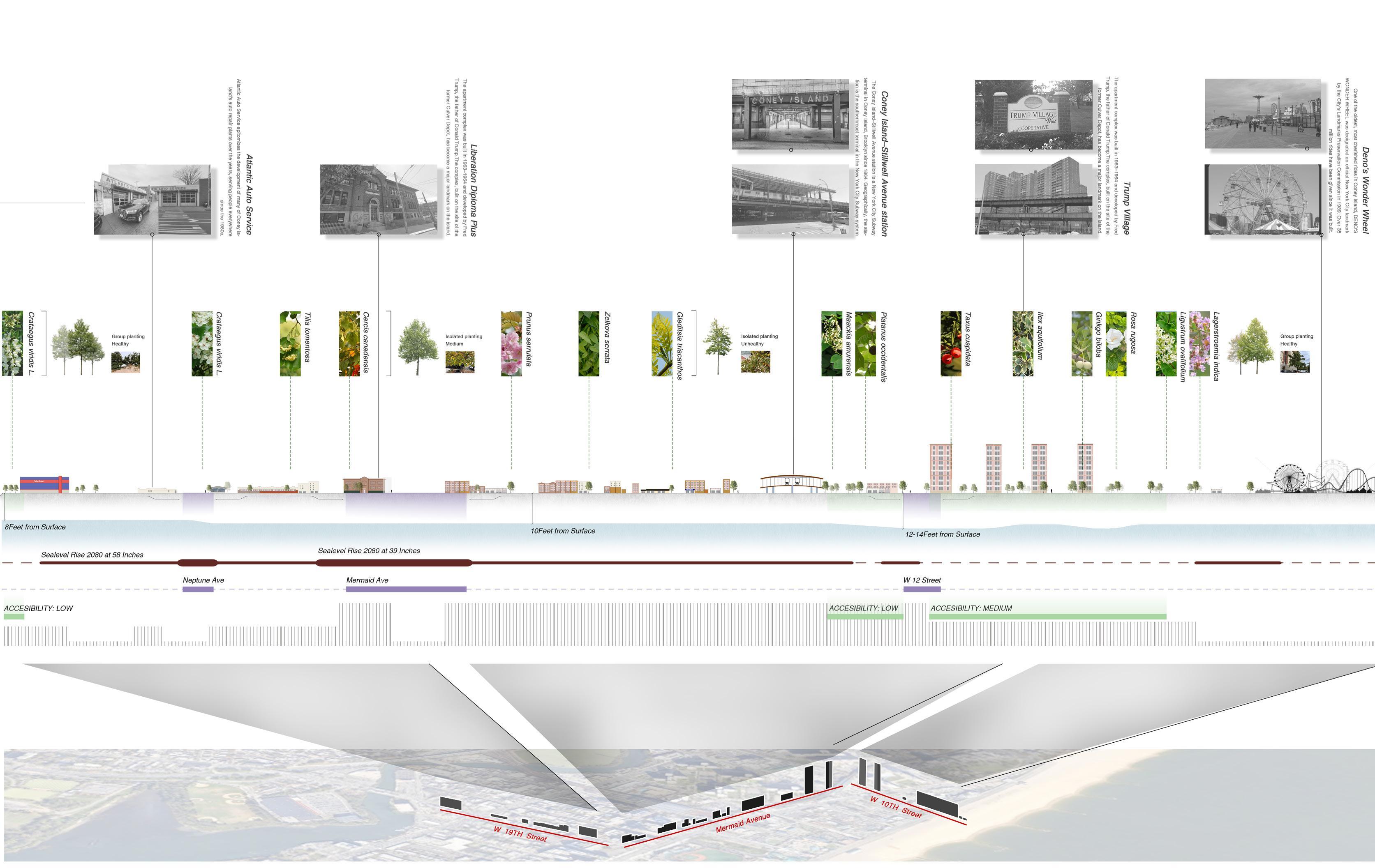
Due to its location and vulnerability to storm surges and flooding, especially during hurricanes, Coney Island has been designated as Evacuation Zone 1 in New York City's hurricane preparedness plan. This designation highlights its high risk during extreme weather events, requiring immediate evacuation to protect residents and visitors. Coney Island, located in the southern part of Brooklyn, is a renowned seaside destination attracting millions of visitors annually. Tourists primarily come from within New York City, nearby states like New Jersey and Connecticut, and international travelers seeking its iconic attractions, such as the boardwalk, amusement parks, and sandy beaches.
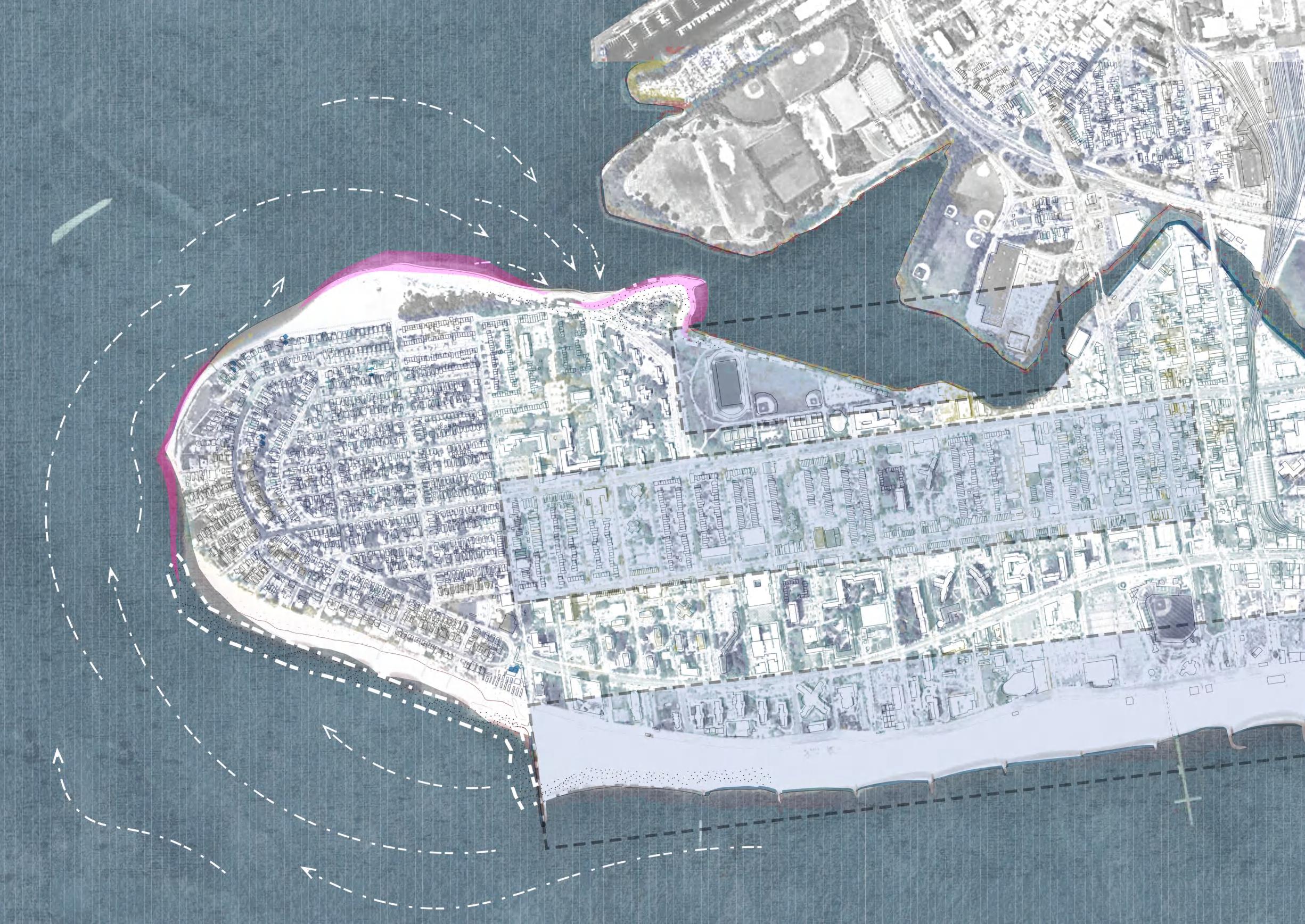
Coney Island: Shaping the Future of Land and Sea
Resilient Landscapes for a Changing Coastline
"Designing with nature means understanding and working with the forces of the environment, rather than against them."
——— Ian McHarg
Location: New York, United States
Instructor: Maria Goula
Time: 09/2024-12/2024
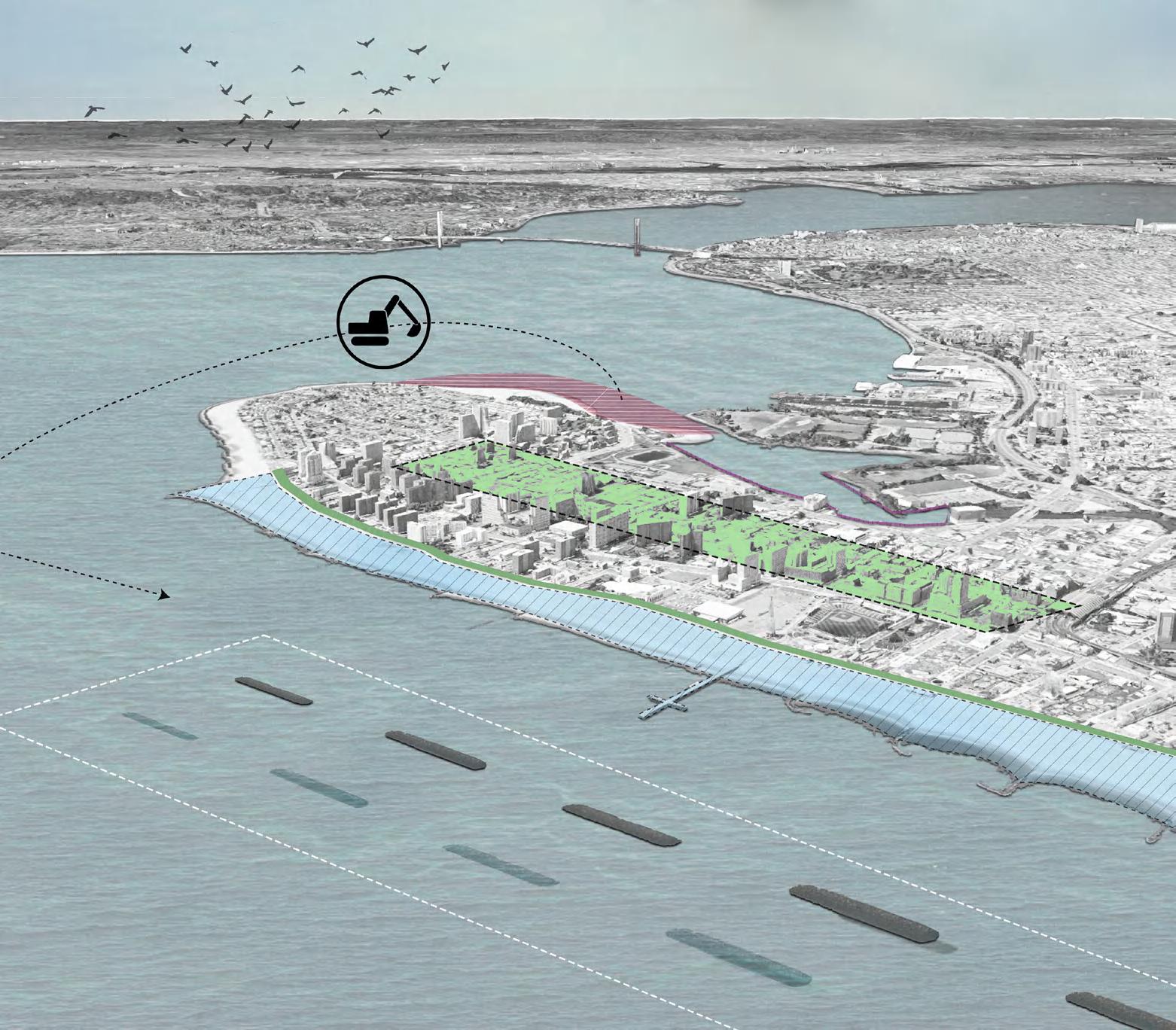
Discription:This project aims to address the severe environmental and socio-economic challenges faced by Coney Island, including coastline erosion, flooding, and the threat of rising sea levels to community safety. Located in one of New York City's highest-risk evacuation zones, Coney Island's coastline has suffered from prolonged erosion, while sediment accumulation in the creek has caused water flow blockages, further exacerbating flooding issues. These challenges have hindered Coney Island's ecological and economic development, making it difficult to reclaim its historical prosperity as a renowned seaside destination and amusement park.
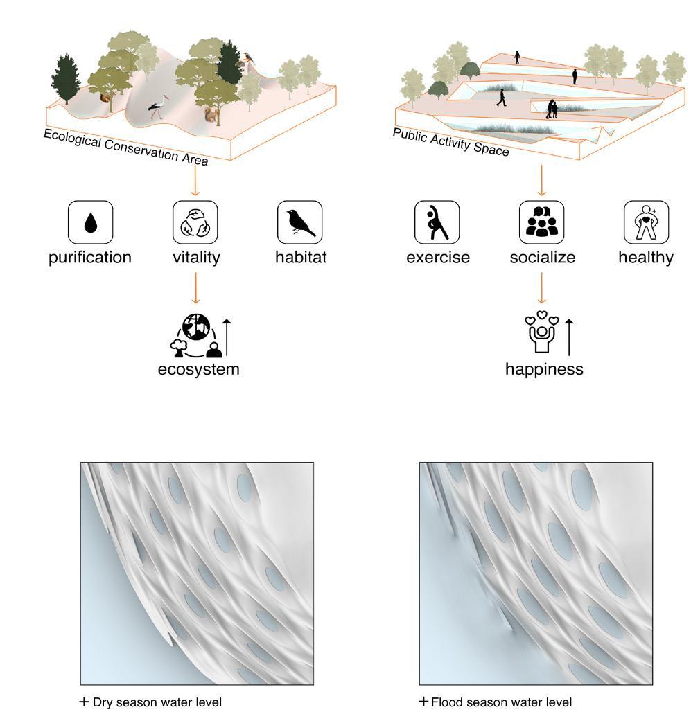
I hopes to design a sustainable flood and erosion management plan for Coney Island by integrating ecological and engineering approaches, while also creating a safer and more livable environment for local residents. Furthermore, in the future, it aims not only to address the ecological crisis of Coney Island but also to promote the socio-economic revival of the area through these measures, providing replicable solutions for other similar regions in New York.
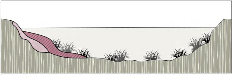
Rendering Expectations for Coney Island CREEK
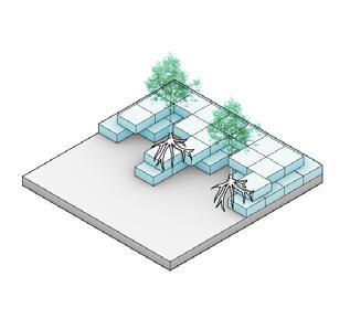
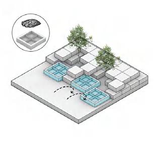
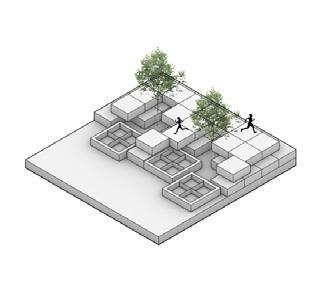
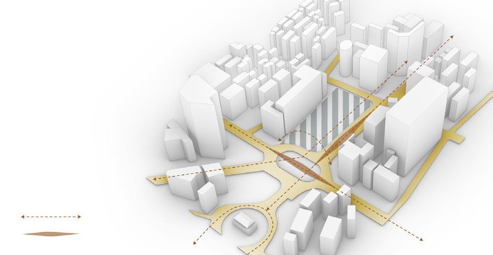
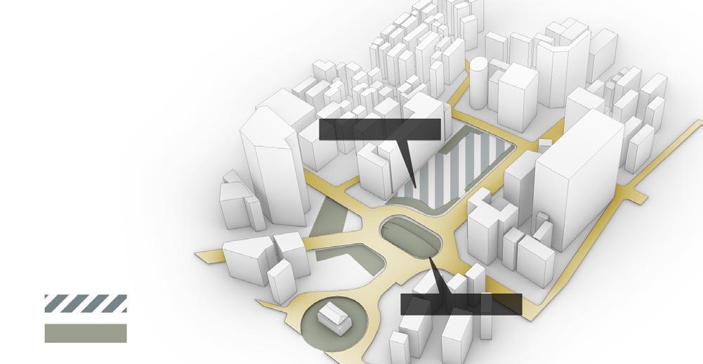
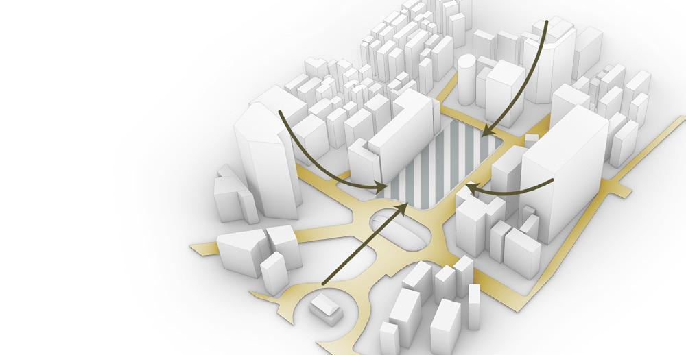
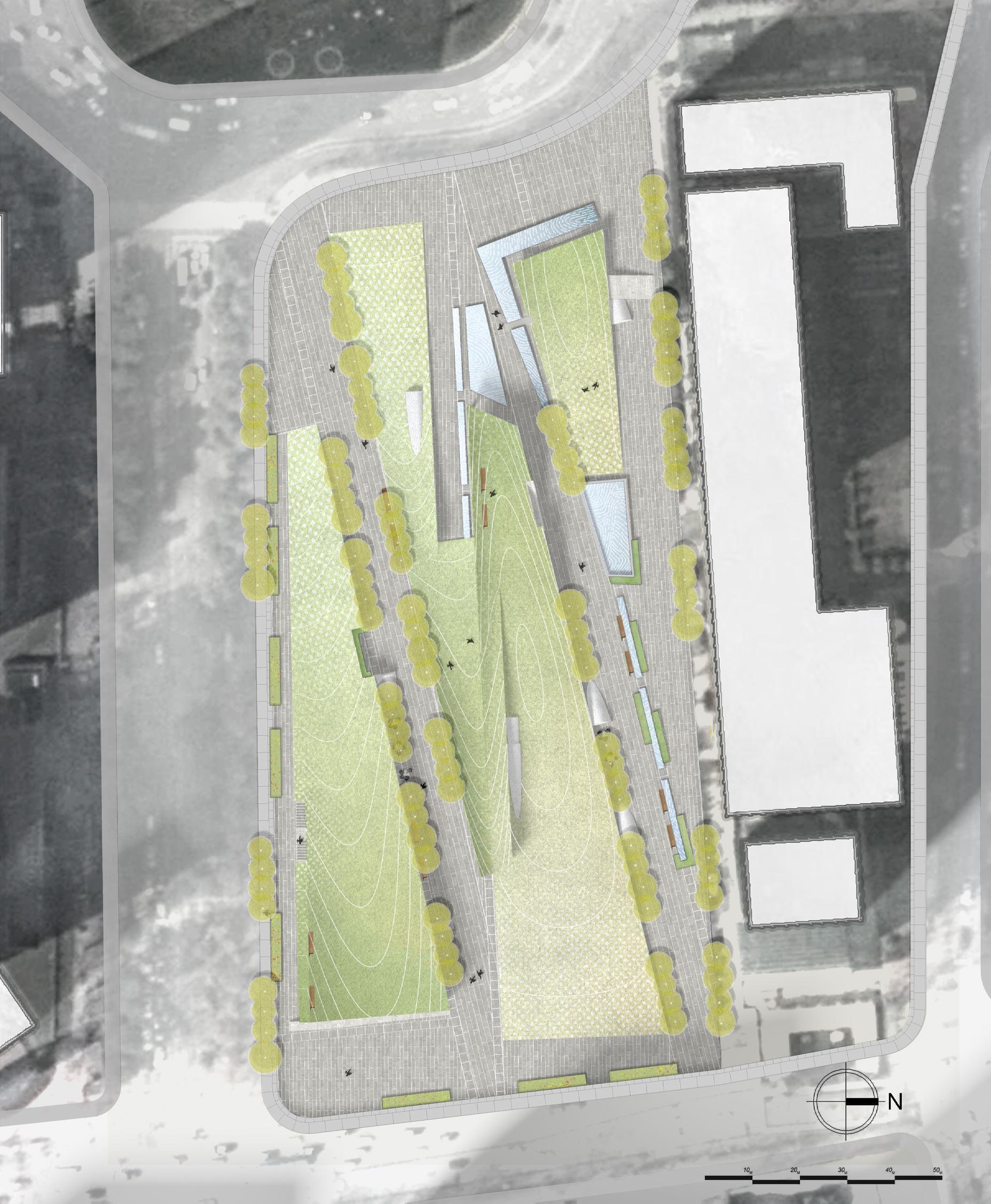
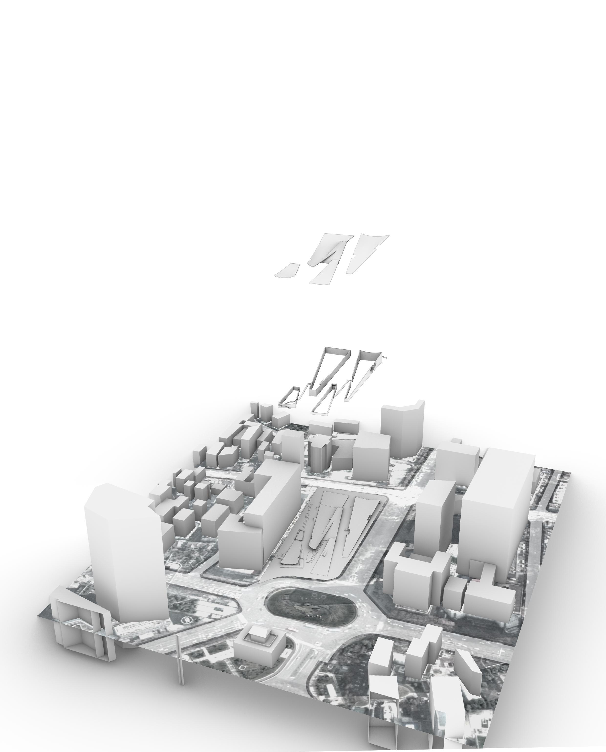
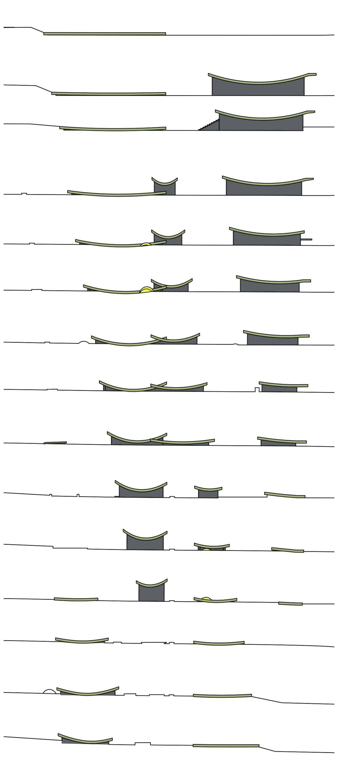
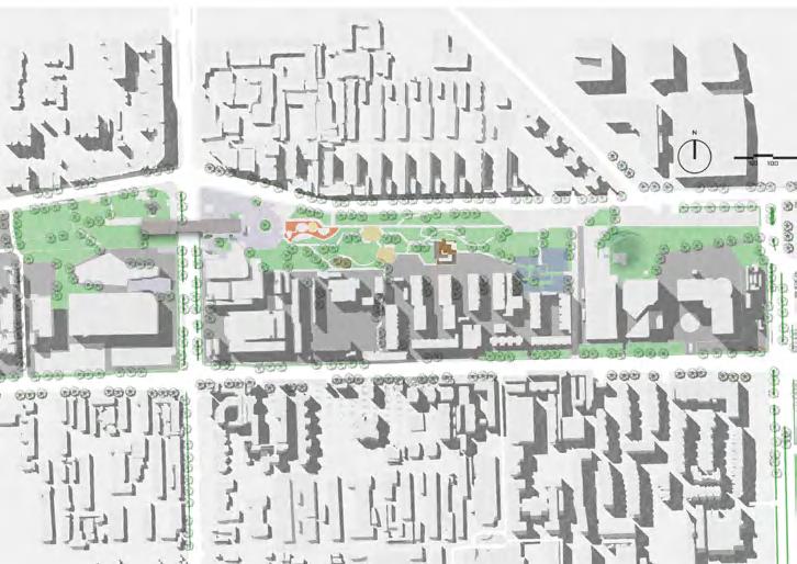
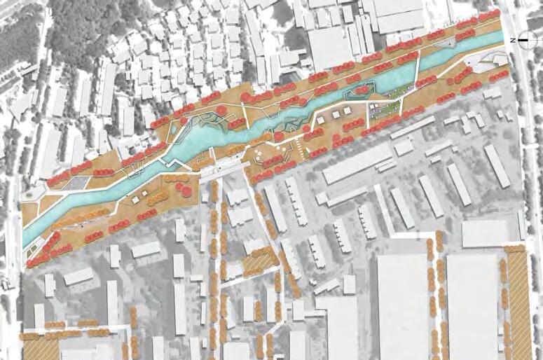
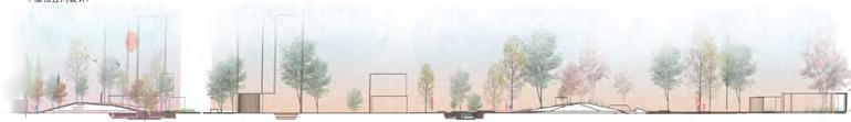
BETWEEN THE DRUM TOWERS
Landscape connects the east to west view
"Sight is an intuitive language of architecture, through which buildings engage in a profound dialogue with their surroundings and people's emotions."
——I. M. Pei
Location: Nanjing, China
Instructor: JinShi Zhang, Liang Li
Time: 07/2022-09/2022
Discription:This project analyzed the axis of the Drum Tower in Nanjing and found a concatenated plot in urgent need of renovation. Through the use of the original height difference and geographical advantages of the site transformed into a park green space, used to connect the line of sight.
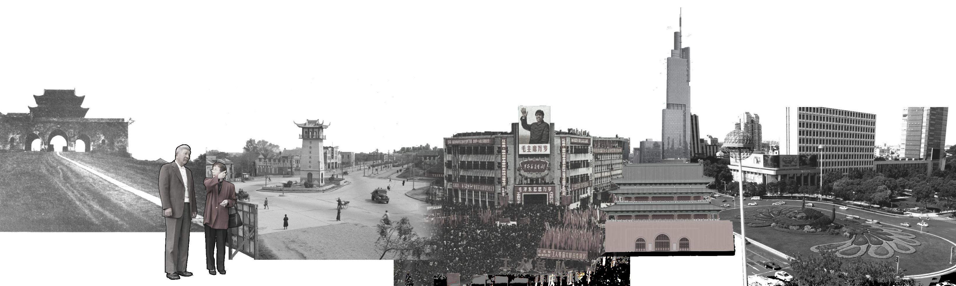
Nanjing Drum Tower is a building of Ming and Qing Dynasties located in the center of the city of Nanjing, China.
The Zifeng Building landed and became a new landmark in Nanjing in addition to the Drum Tower. The landscape on the axis of Drum Tower Square is not connected, the line of sight is
The green space connects the view
The project is located in the center of Nanjing, a city that is changing from old to new. Surrounded by the steel forest, the project has the effect of connecting the east-west view and enhancing the green view of the city center.