


Public Meeting #2 6.21.23 KING OF PRUSSIA


1. KOP District / SC Team 2. Scope 3. Schedule 4. Study Area 5. Data & Inventory 6. January 2021: Initial Stakeholder Engagement Summary 7. Trails 101 users, design guidelines 8. Improvement Toolbox 9. Next Steps 10. Discussion Agenda 2
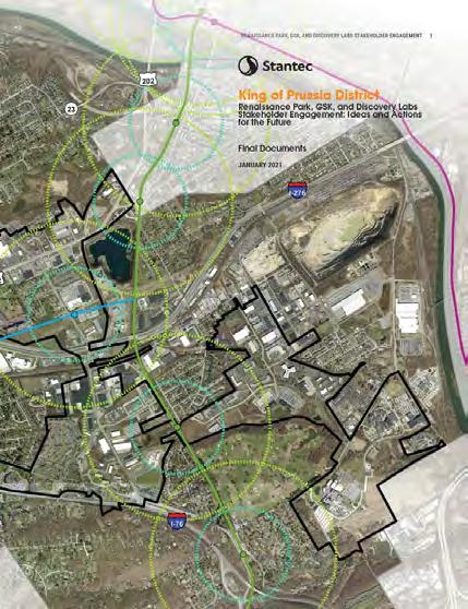
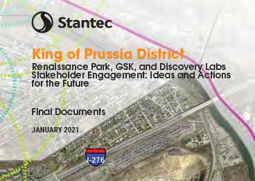
King of Prussia District

Renaissance Park Stakeholder Engagement
3
King of Prussia District
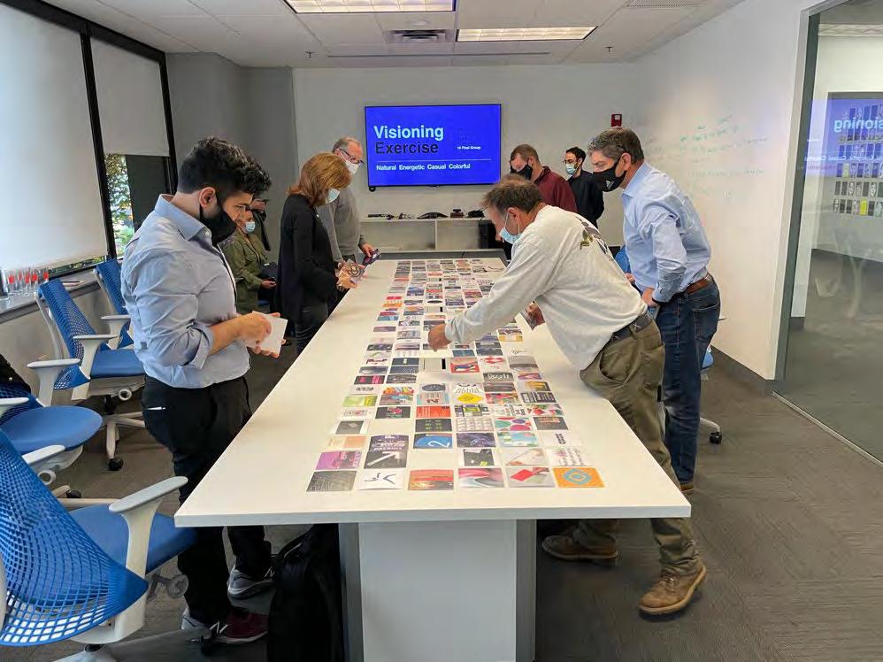
Renaissance Park Branding D2 Visioning Exercise
4
King of Prussia District
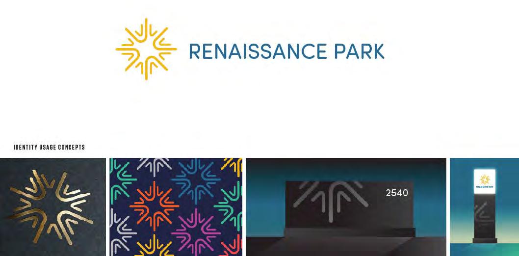
Renaissance Park Branding | Chosen Concept & Examples
5
King of Prussia District
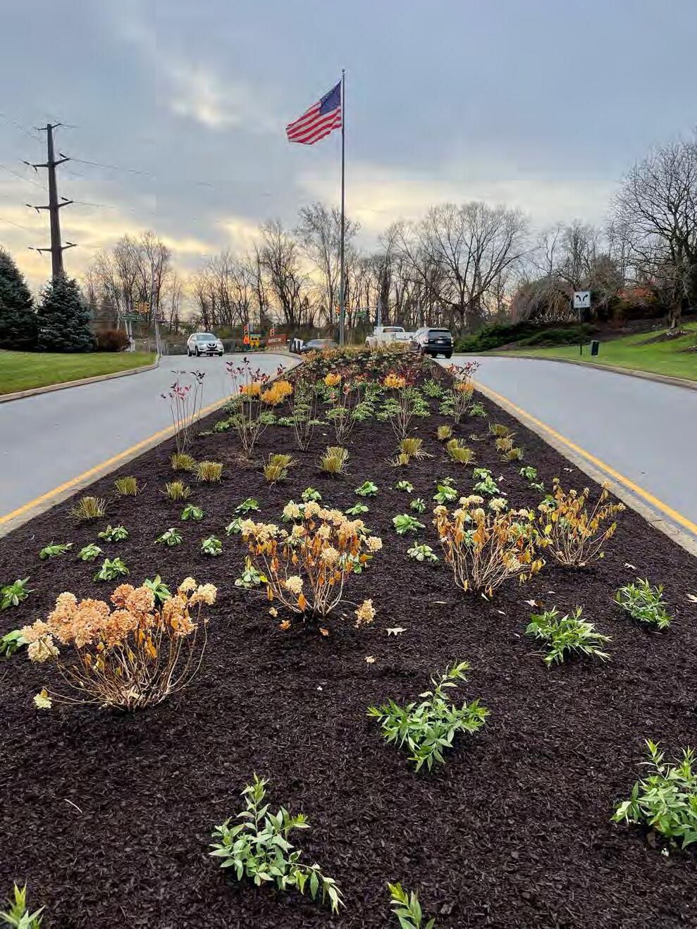
Renaissance Boulevard
Median Plantings

6
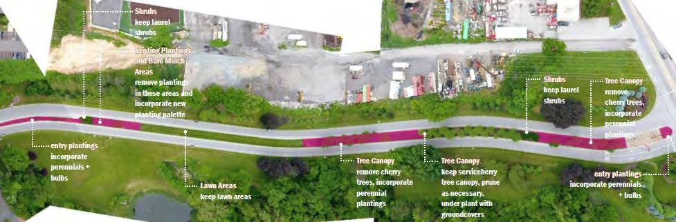
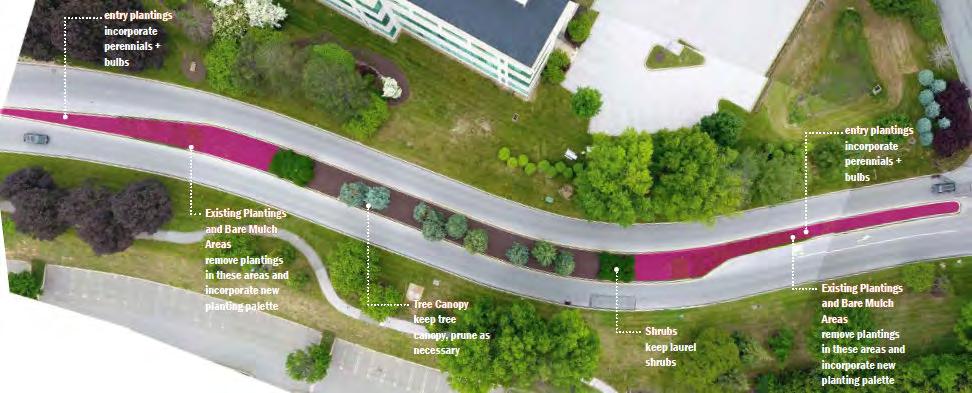
King of Prussia District
Renaissance Park Gateways
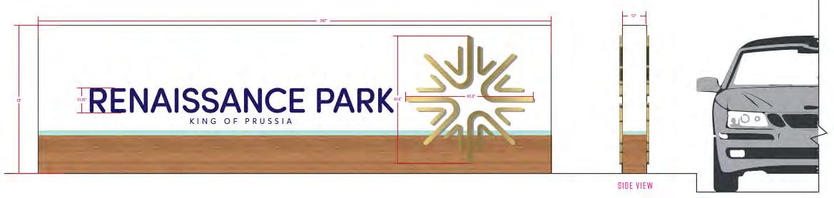
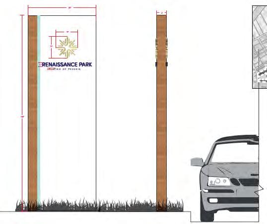
7
King of Prussia District
Renaissance Park Gateways
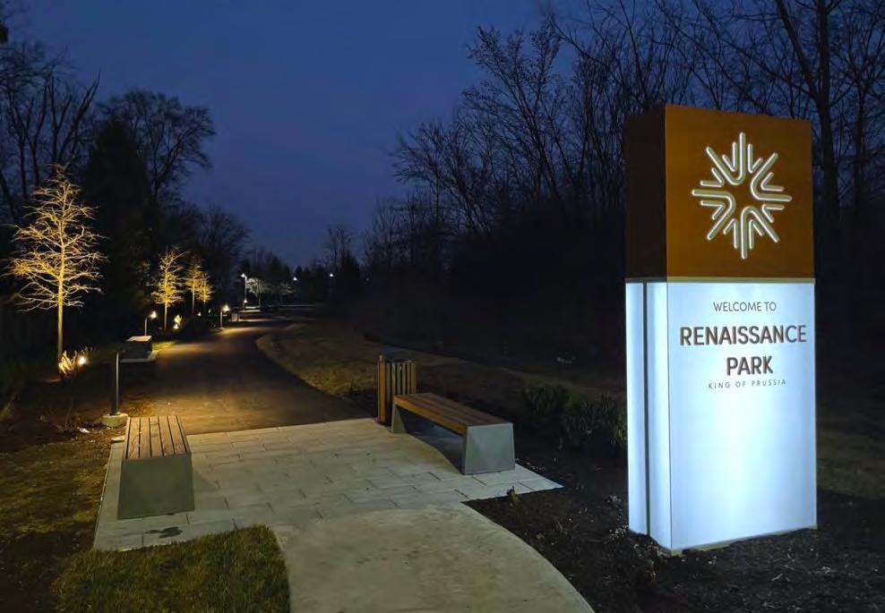
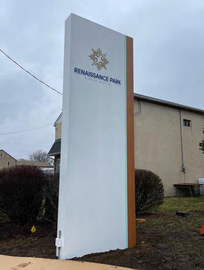
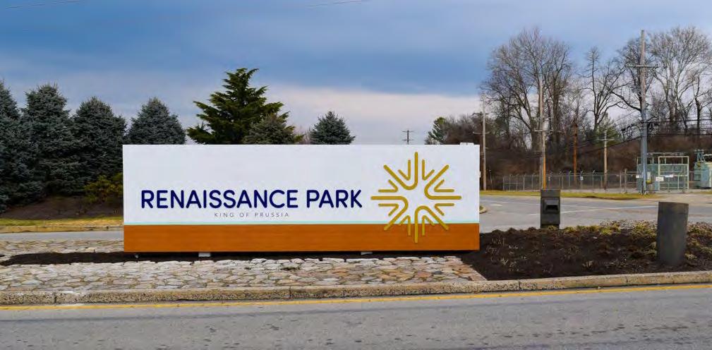
8
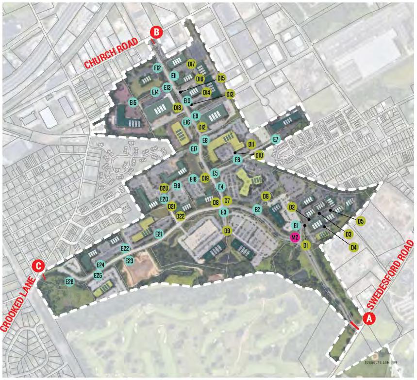
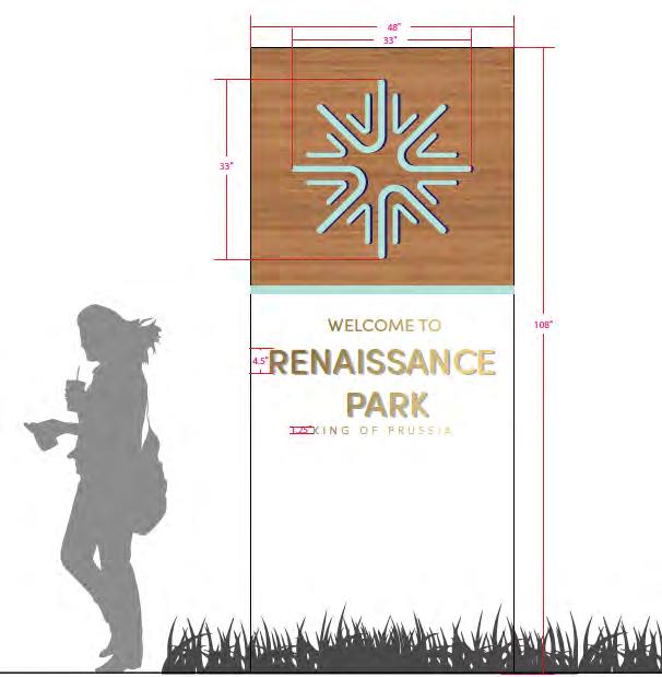
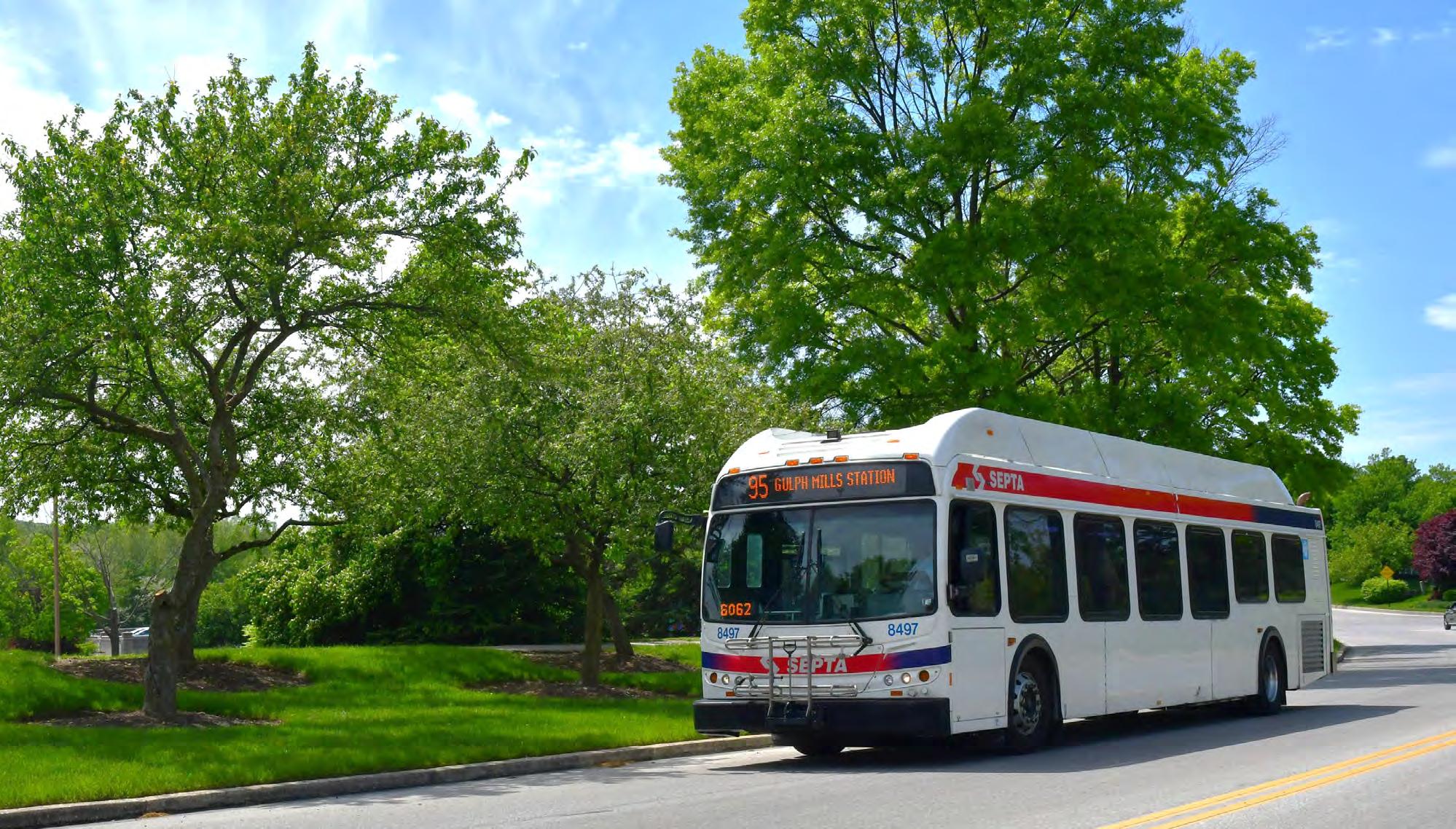
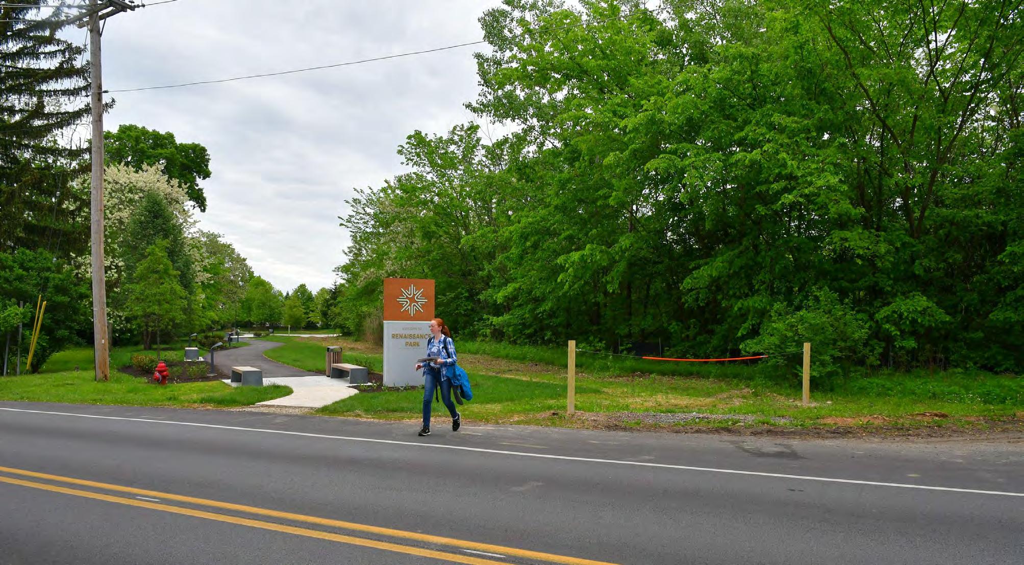
King of Prussia District
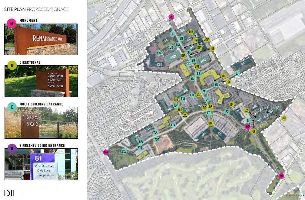
Renaissance Park
Directional Signs In 2023

9
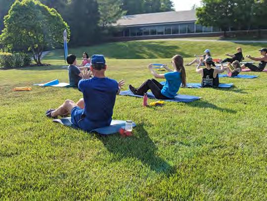
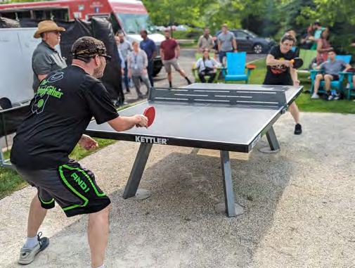
King of Prussia District
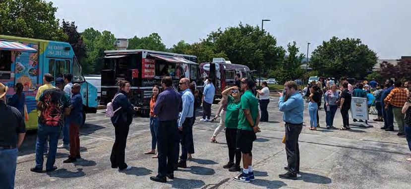
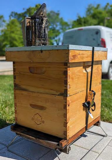
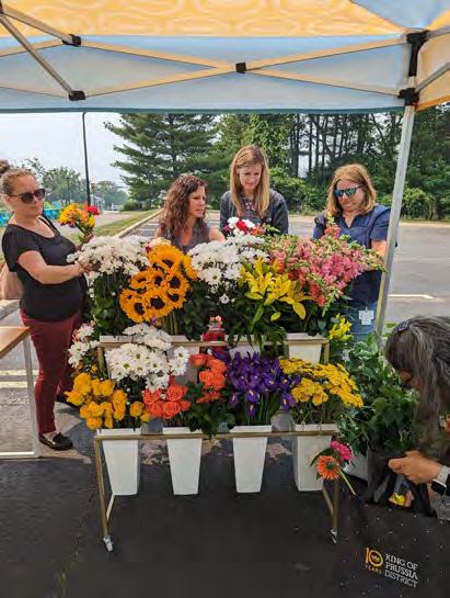
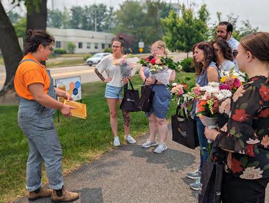
Public Spaces & Special Events
• Food Truck Tuesdays
• Renaissance Park Bee Social & Beehive Workshops
• Wellness Wednesdays
• Ping Pong Tourney & Pop-Up Beer Garden
10
SC Team
Simone Collins

Peter Simone, RLA, FASLA
Anita Nardone, PE
Geoff Creary, LA
Liz Krohn, MLA
Traffic Planning & Design

Joe Janos, PE
Kerianne Chen, EIT
11
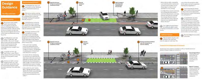
Simone Collins
Simone Collins Landscape Architecture is a planning and design firm committed to creating an ecologically enduring society


Conduct careful research
Respect ecological context and limits of each site
Build on sustainable practices of the past
Employ new methods prudently

Conserve materials and energy


Support local economies
Design biologically & culturally diverse communities
12
Simone Collins Landscape Architecture

• Founded 1990 – 33rd year of service
• Staff of 12 – including: 3 registered LA principals, 1 P.E., 1 AICP
• “Connectivity Projects” – 120+ since 1993
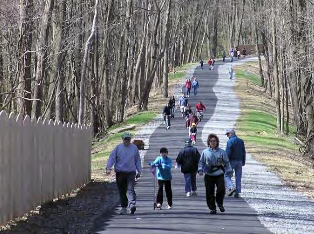
• Public Participation experience – extensive, including controversial projects
• Successful funding strategies – for municipal, county and NGO clients
• 45 design awards – 17 for trails and bridge projects
13
Traffic Planning & Design (TPD)

TPD & Simone Collins Collaborations
• Multiple Trail and Connectivity Projects (Moore Road Multimodal Trail & Linear Park, Radnor Township Trail, Walk & Bike Pottstown, Abington Township Trail)
14
Project Scope
1. Public Participation
• Public Meetings 1 & 2: Brainstorming/Programming
• Public Meeting 3: Review of the Draft Connectivity Plan
• Public Meeting 4: UMT Board of Supervisors Final Plan Presentation
• Wikimap-Online Mapping Tool for Public Input
• SEPTA; PennDOT: MontCo Planning; UMT Staff
2. Review & Analysis of Existing Conditions
• Site Reconnaissance; Review of data/past planning; Identify Constraints
• Base Mapping
3. Preliminary Connectivity Plan Development
• Draft Connectivity Plan
• Photosimulations
4. Final Connectivity Plan Development
• Narrative Report
• Cost Estimates; Phasing Recommendations; Funding Recommendations
15
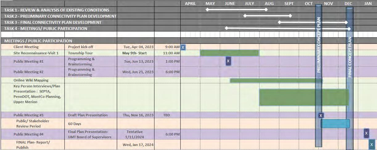
Project Schedule
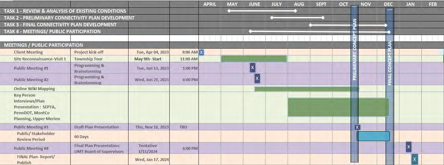
16
Data and Inventory


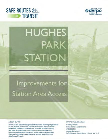
Upper Merion 2040 Comprehensive Plan – Planning Area 9-Swedeland
Pedestrian connections, whether they are sidewalk or trail, should be enhanced in order to provide safe pathways for people moving in and out of the Swedeland area. Connections between Hughes Park Station and Renaissance Business Park should be improved, including establishment of proper road crossings……

17
Data and Inventory
Three Phase Study
January 2020 - January 2021
1. Opportunities & Issues
2. Visioning
3. Draft Vision
18
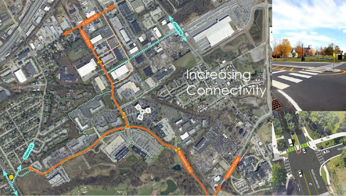
Data and Inventory
Draft Vision Actions
INCREASED CONNECTIVITY PLACEMAKING DIVERSE LAND-USE MIX INCREASED AMENITIES
19
Data and Inventory
A) Increase Pedestrian Infrastructure
B) Signalized Intersection (Renaissance Blvd & Horizon Drive)
INCREASED CONNECTIVITY
C) Crosswalks & Bus Shelters
D) Road Connections into District (i.e. Crooked Lane and/ or other locations.)
E) Extend Renaissance Blvd across Swedeland Road to River Road
F) Shuttle service
20
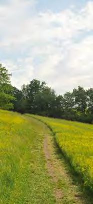
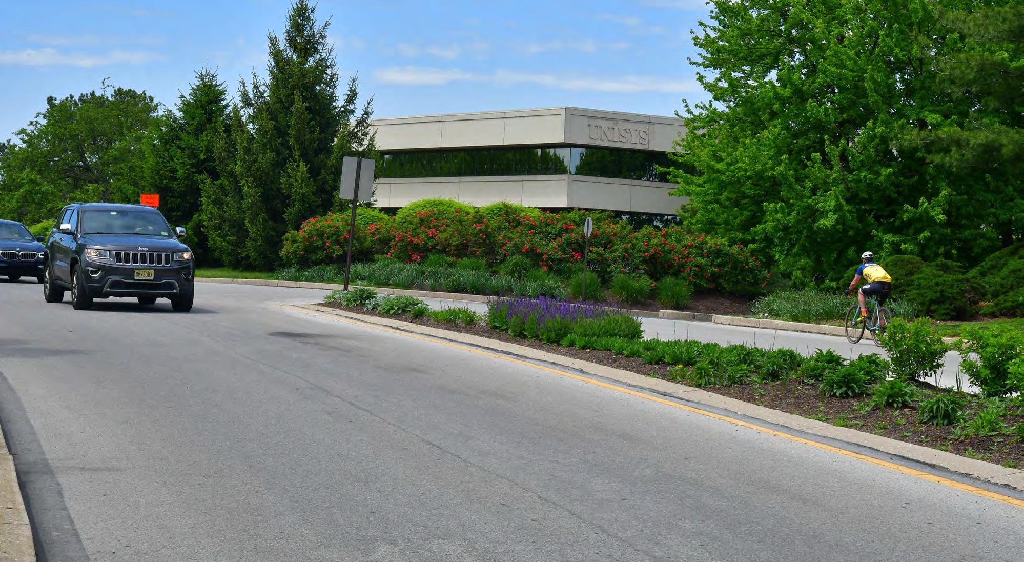
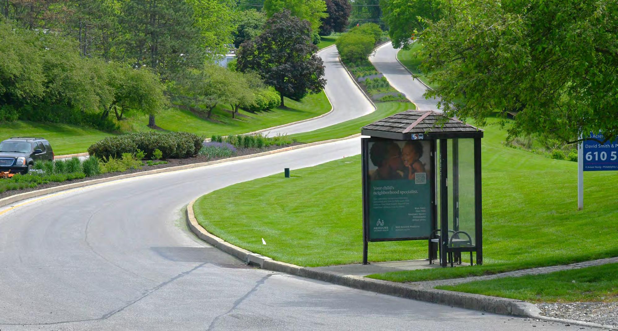
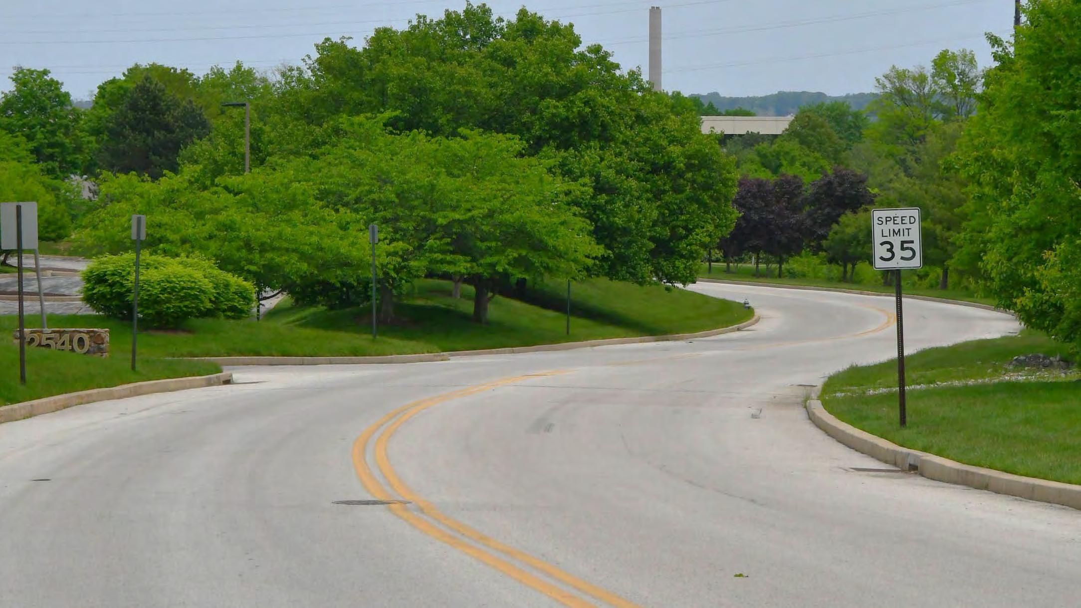
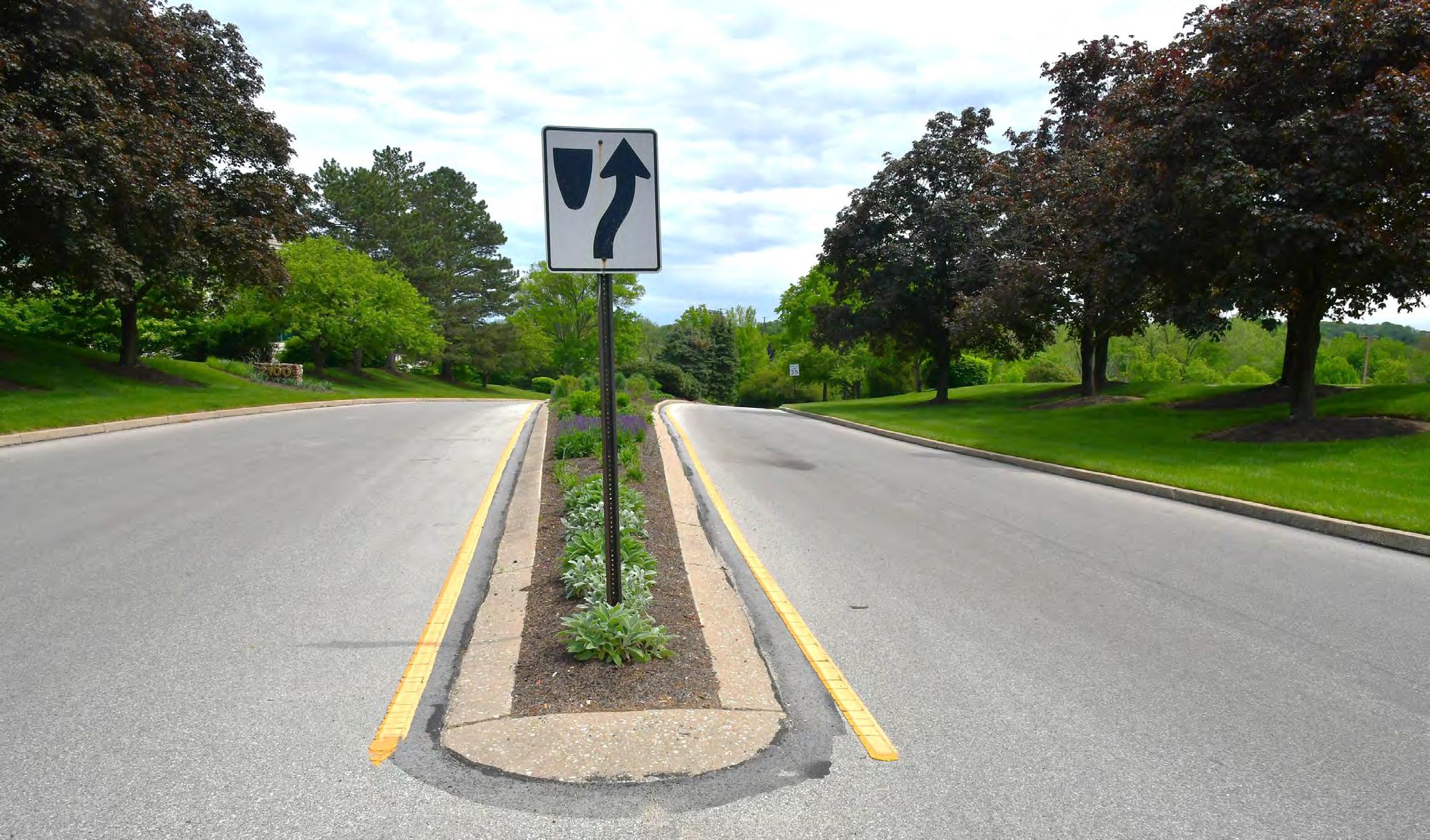
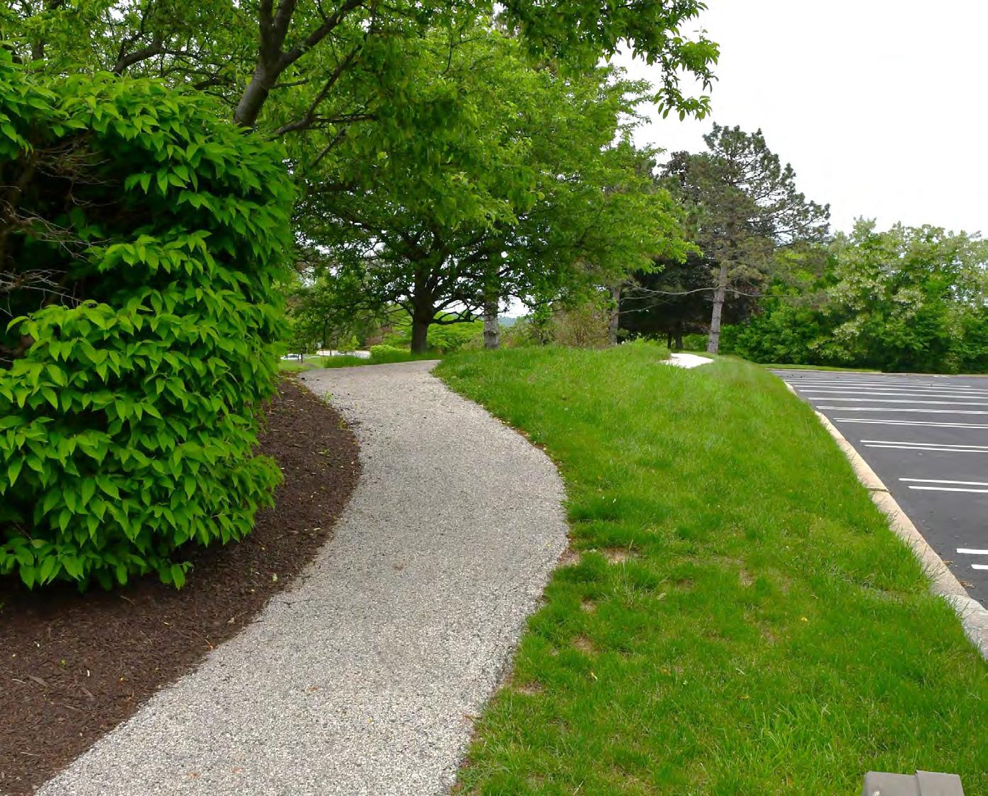
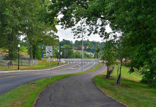
Existing Conditions, a site tour
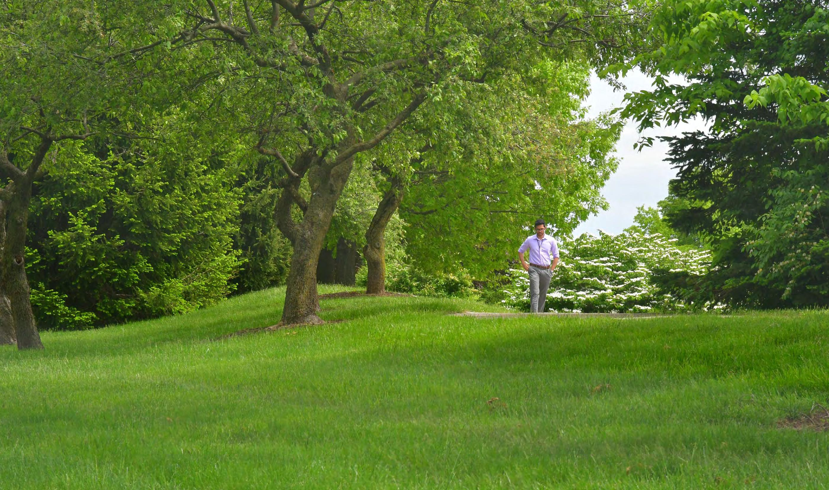
21
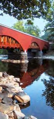
Existing Conditions, a site tour
22
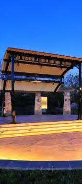
Existing Conditions, a site tour
23
Existing Conditions, a site tour
24
Existing Conditions, a site tour
25
Existing Conditions, a site tour
26
Existing Conditions, a site tour
27
Existing Conditions, a site tour
28
Study Area Mapping
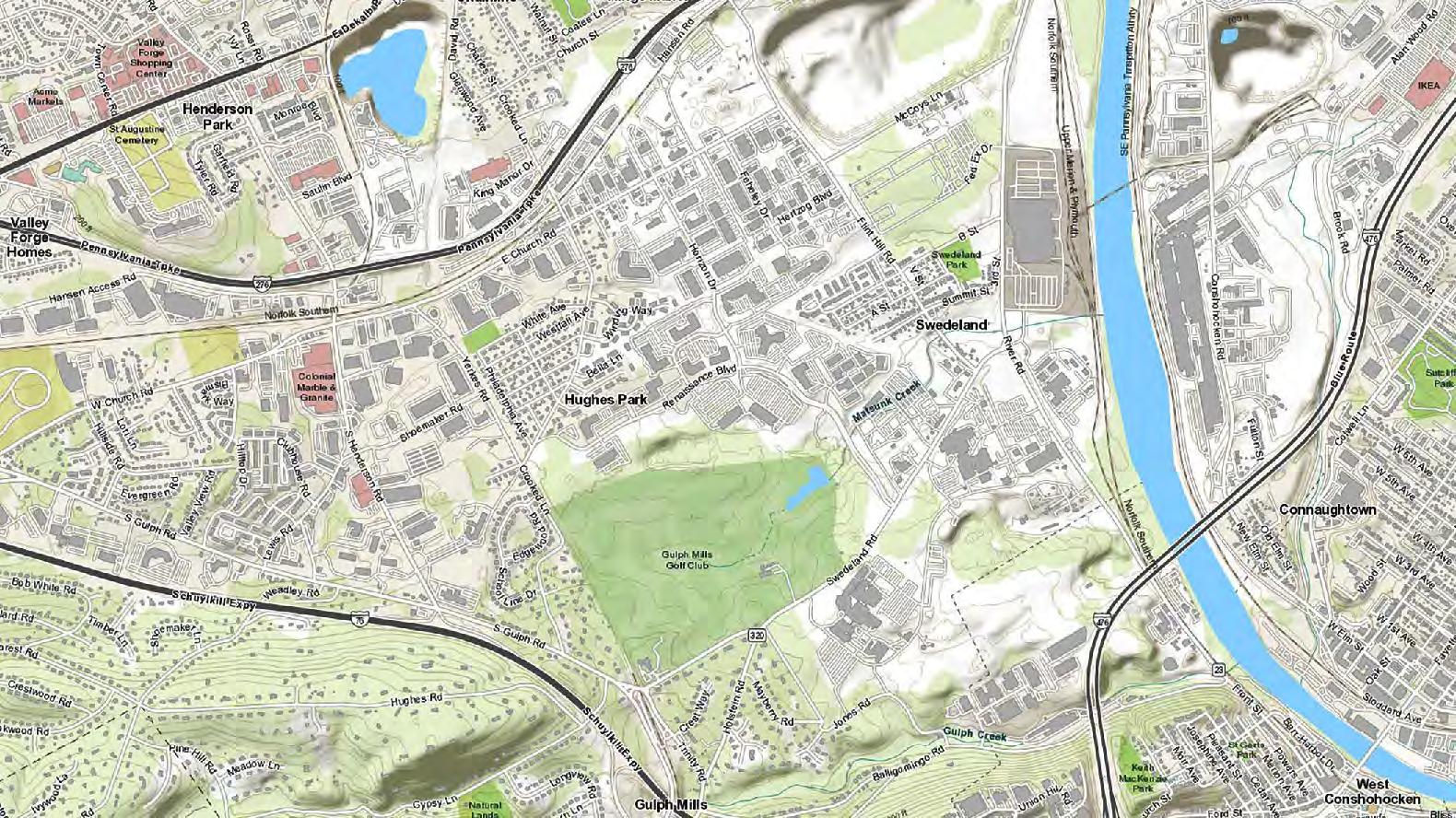
29
Study Area Mapping
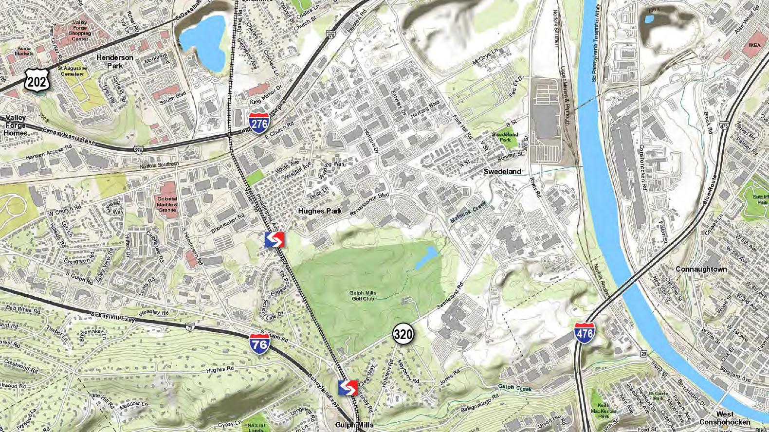
30
Study Area Mapping
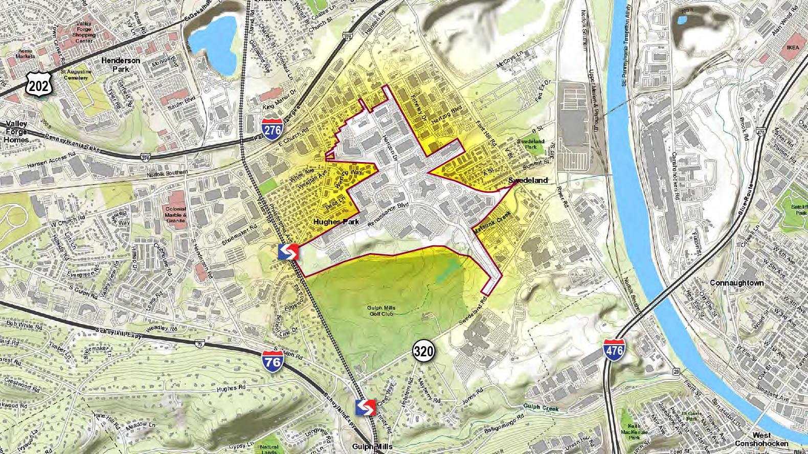
31
Study Area Mapping
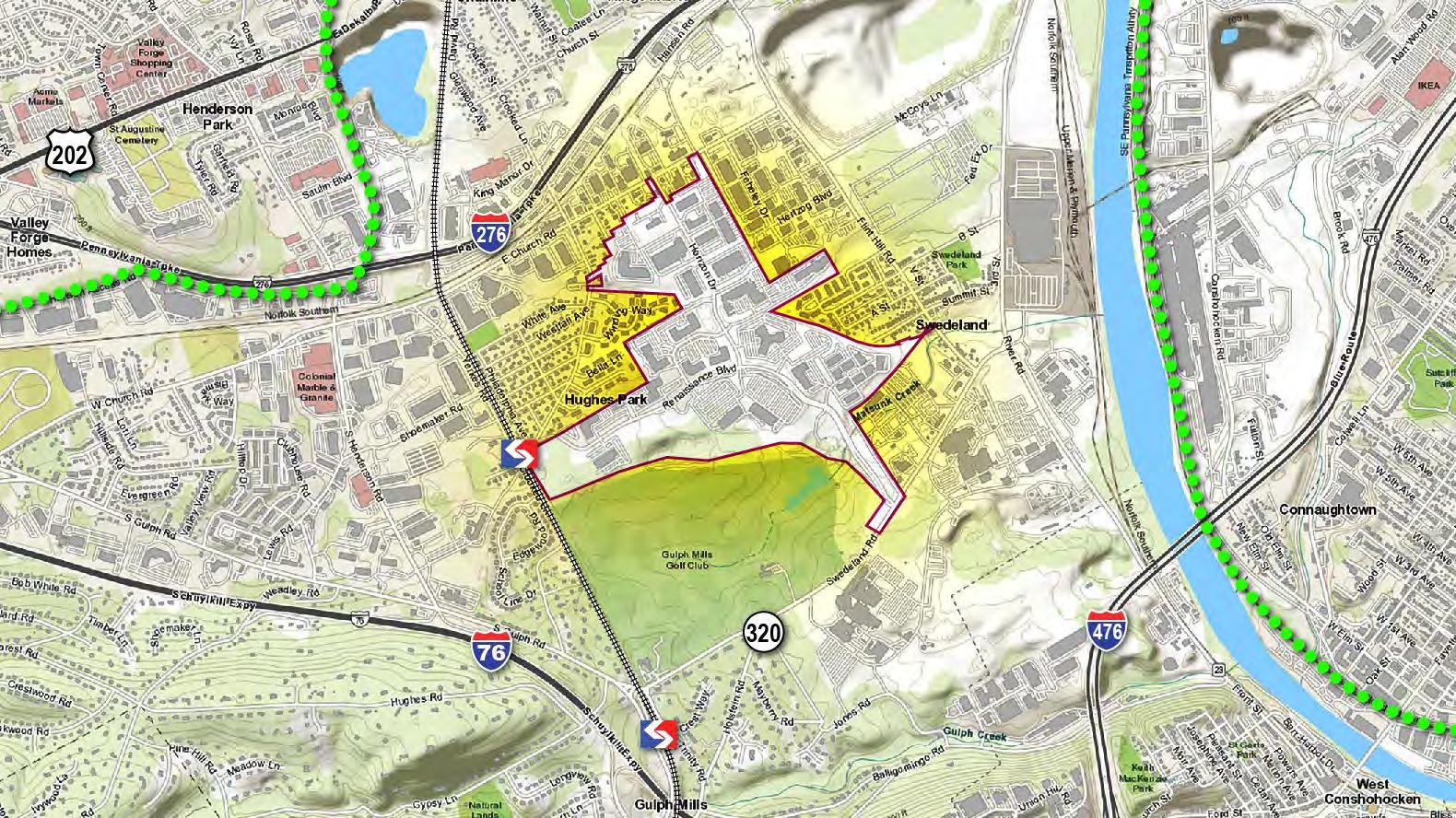 Chester Valley Trail
Schuylkill
River Trail
Chester Valley Trail
Schuylkill
River Trail
32
Study Area Mapping
1937 Aerial

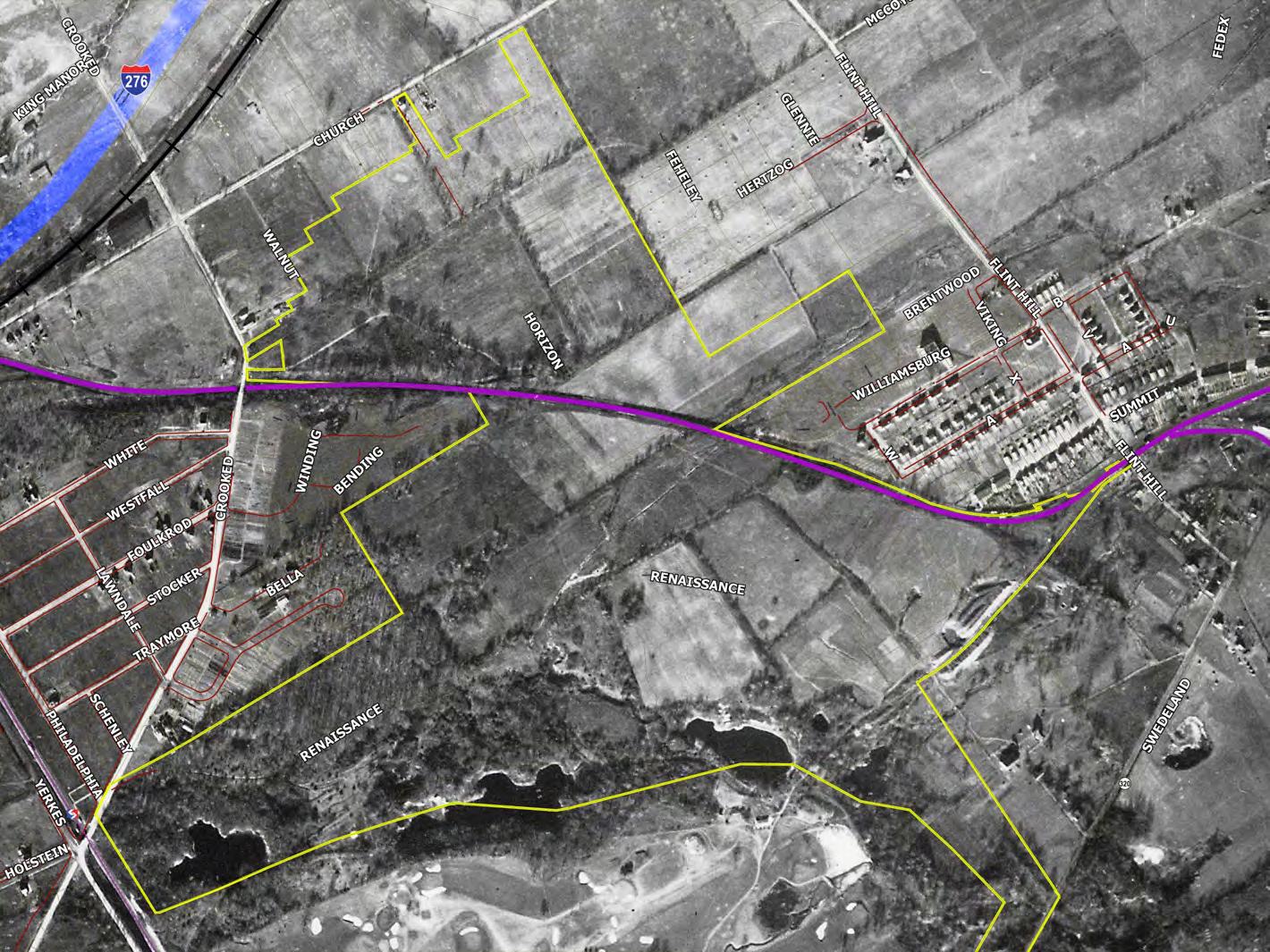
Swedeland
Hughes Park
33
Study Area Mapping
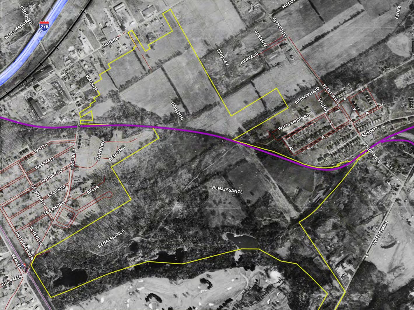
1959 Aerial
Swedeland
34
Hughes Park
Study Area Mapping
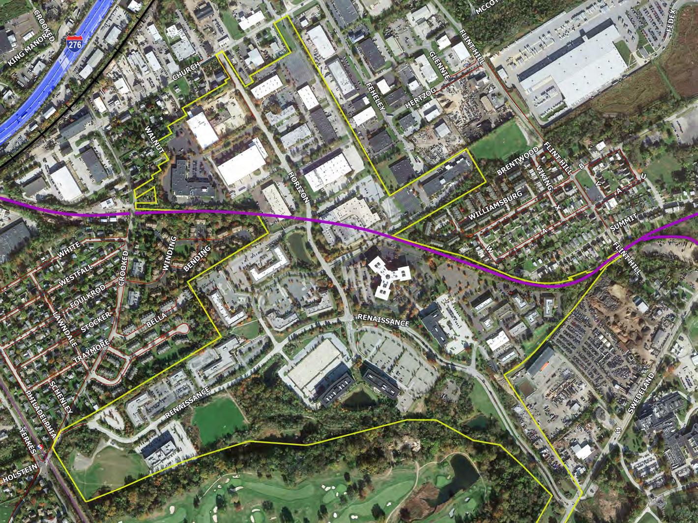
Modern Day
35
Study Area Mapping
Sidewalk / Path
State Roads
Local Roads
Surface Parking
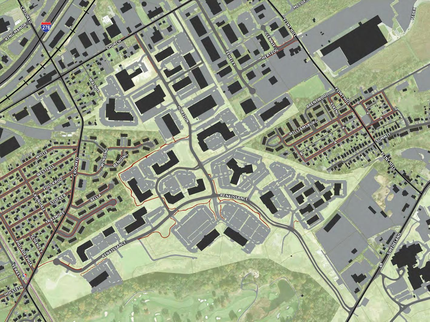
36
Study Area Mapping


Sidewalk / Path
State Roads
Surface Parking


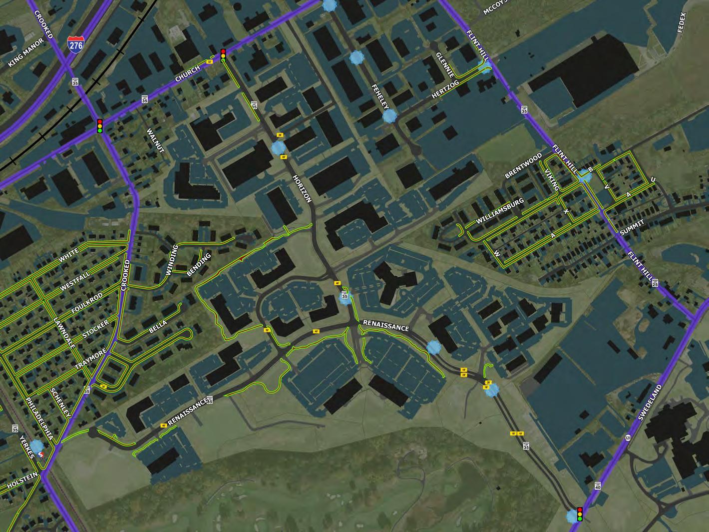
Septa Stop
37
Trails 101 – a multi-modal primer potential tools
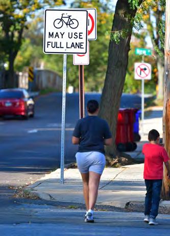
38
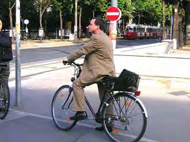
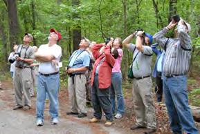
User Groups – pedestrians

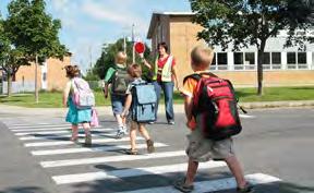
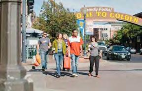
Pedestrians


39
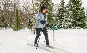
User Groups – active lifestyles
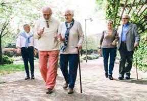
Pedestrians

Active Lifestyles

40
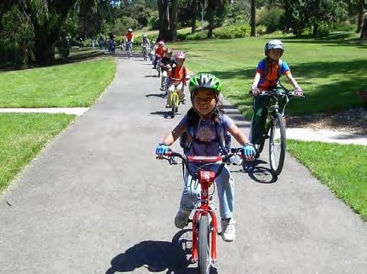
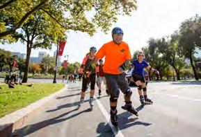
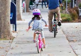
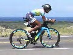
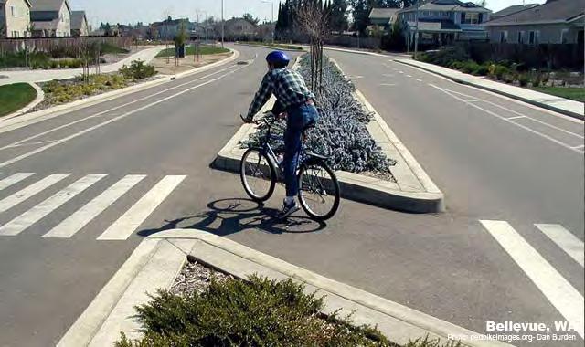
User Groups – Cyclists (3 levels)

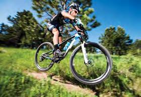


Pedestrians Experienced Casual Child Cyclists


Active Lifestyles
41
User Groups - other

Cyclists
Other Users

Active
Experienced
Child
Lifestyles Pedestrians
Casual
42
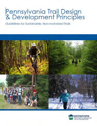
Design Standards – Manuals


43
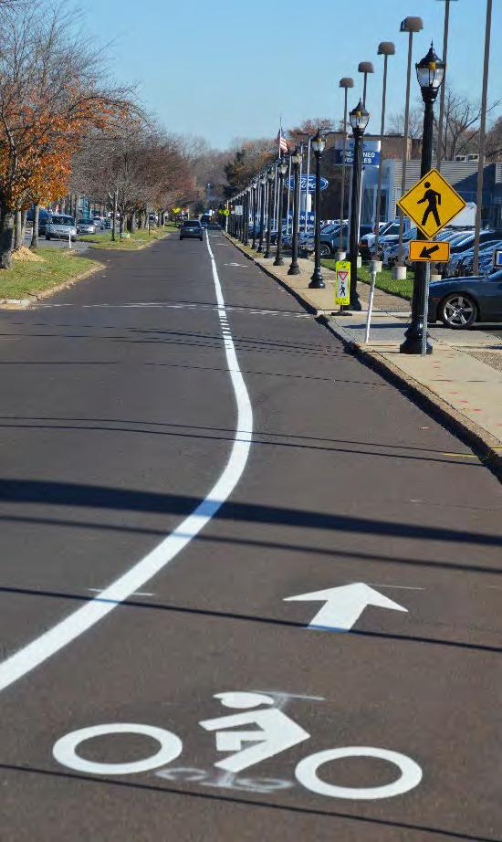
AASHTO - Guide for the Development of Bicycle Facilities –
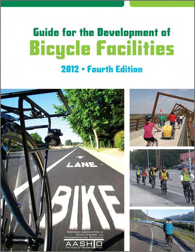
On Road Facilities
BIKE LANES
• Bicyclists operate within a designated portion of the roadway - separate from motor vehicle traffic
• Bike Lane Widths
Not adjacent to Curb = 4’ minimum
Adjacent to curb or other obstacle = 5’ minimum
Adjacent to Parallel Parking = 5’ minimum (7’ preferred) – to be placed between parking lane and vehicle travel lane
• 6’ – 8’ bike lanes allow bicyclists to pass without leaving the bike lane
• MUTCD Signage – R3-17 ‘Bike Lane’ at periodic intervals
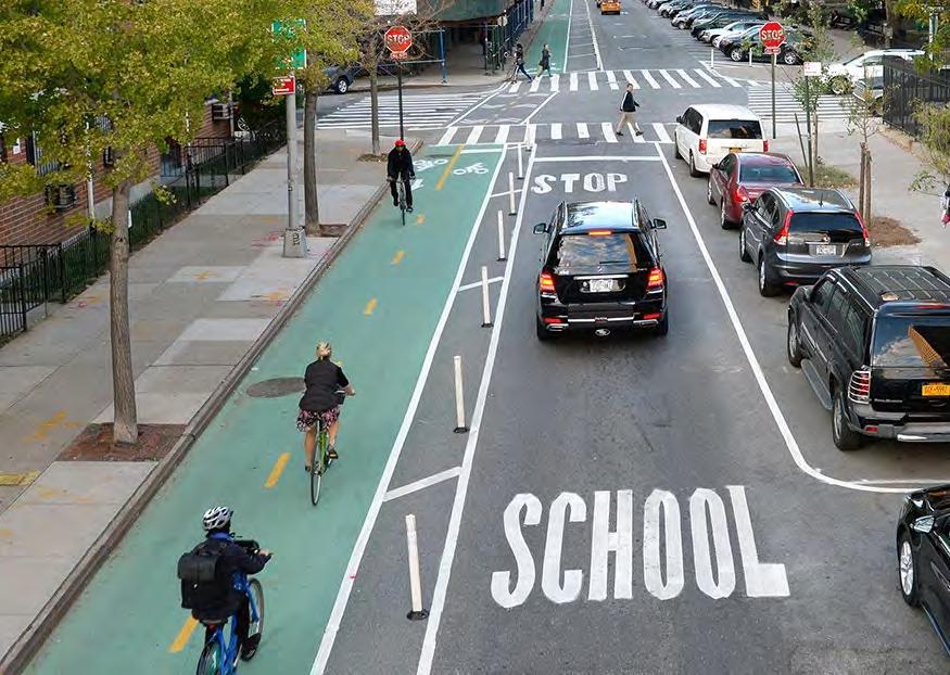
44
AASHTO - Guide for the Development of Bicycle Facilities – Off
Road Facilities
SHARED USE PATHS
• Characterized as Bikeways that are separated from the cartway by a physical barrier or open space
• Should comply with current ADA requirements
• Typical Users include:
Pedestrians
Runners
Upright Adult Bicyclists
Recumbent Bicyclists
Hand Cyclists
Child Bicyclists
Inline Skaters/Roller Skaters
Skateboarders
Kick Scooter Users
45
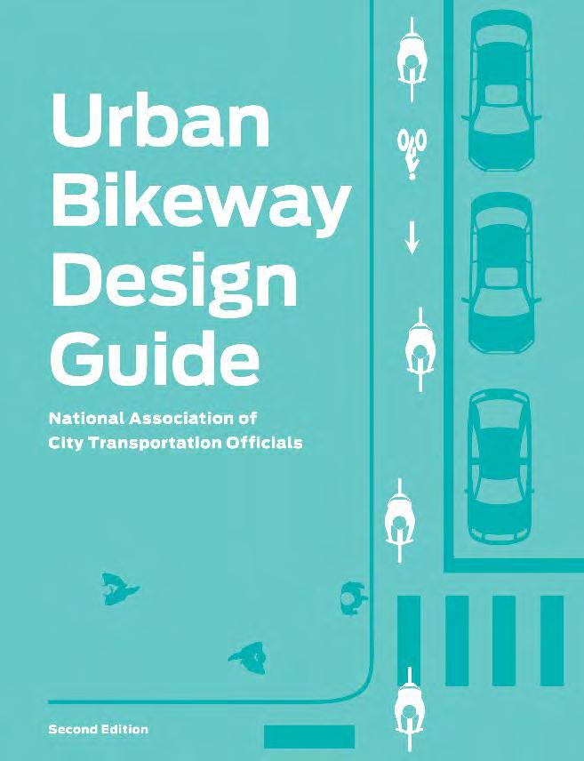
NACTO – Trail Facility Types
• Additional guidelines for the development of trails – AASHTO standards should still be followed
• Provides additional guidelines for:
Bike Lanes
Cycle Tracks
Intersection Treatments
Bicycle Signals
Bikeway Signing and Marking
Bicycle Boulevards
https://nacto.org/publication/urbanbikeway-design-guide/
46
NACTO – Trail Facility Types
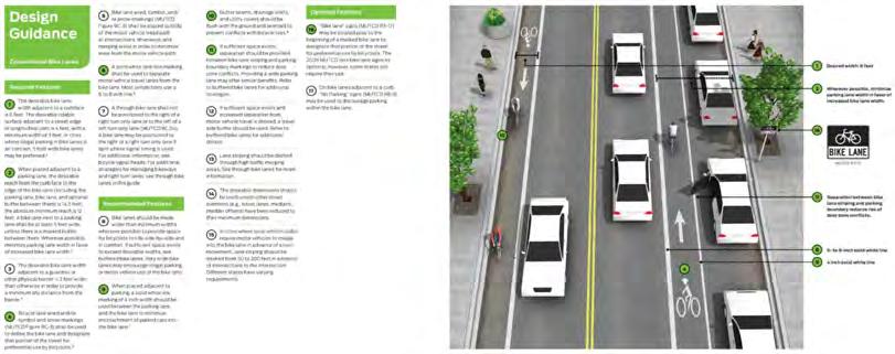
BIKE LANES
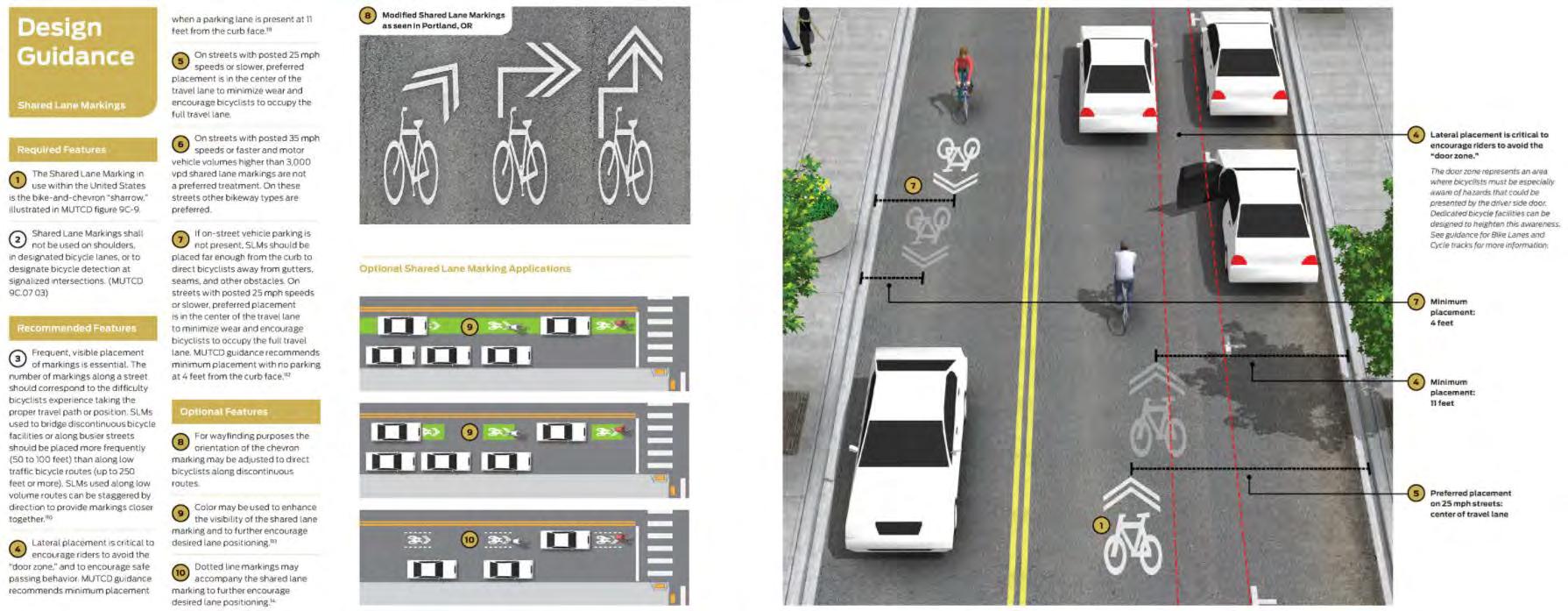
STRIPINGSHARROWS
CYCLE TRACKS
47
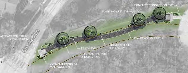
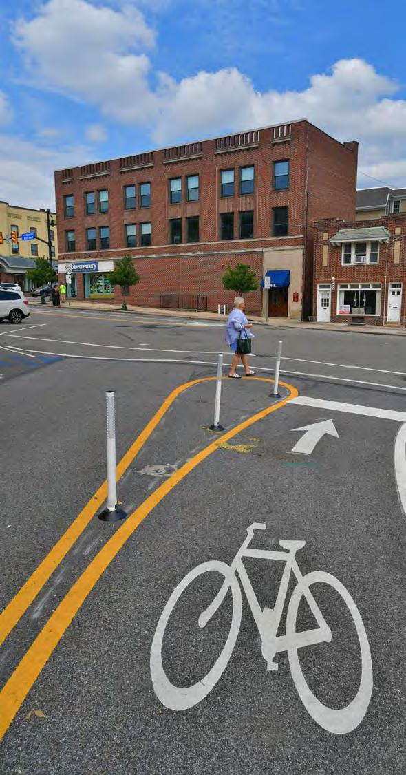
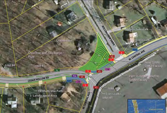
Improvement Toolbox
 1. Sidewalk
2. Crosswalk
3. Speed Table
4. Speed Cushion
5. ADA Curb Cut
6. Rapid Flashing Beacon
7. Hand Man (Count Down Timer)
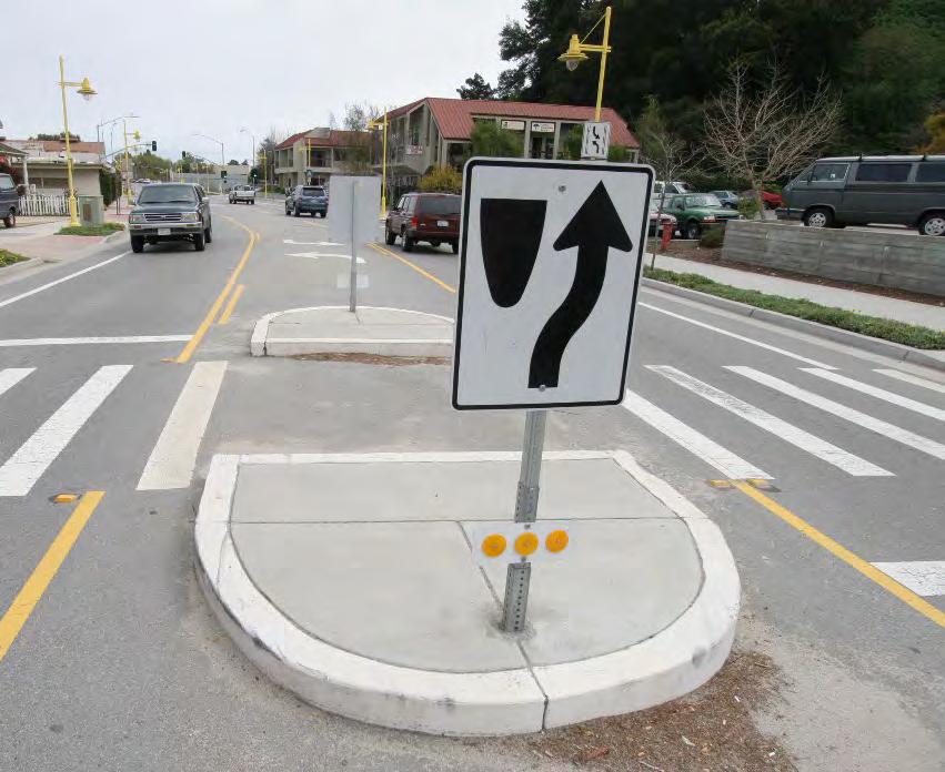
8. Pedestrian Refuge Island
9. Stormwater Management BMP
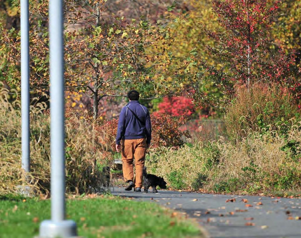
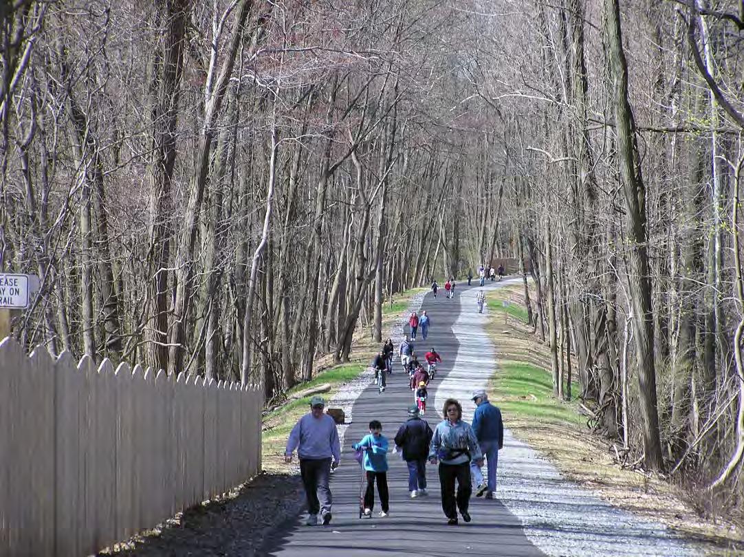
10. Multi-Use Trail
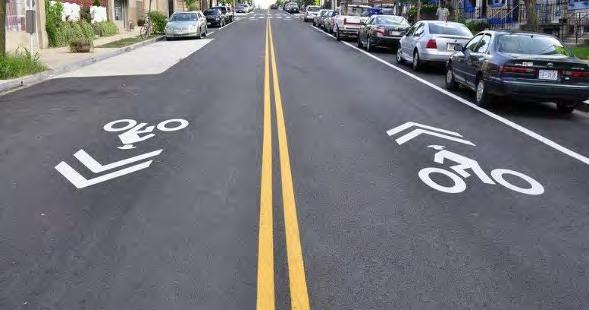
11. Sharrow
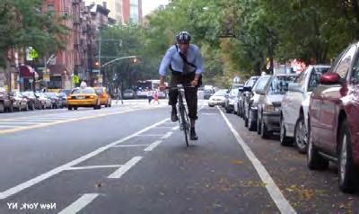
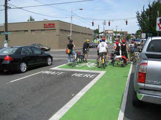
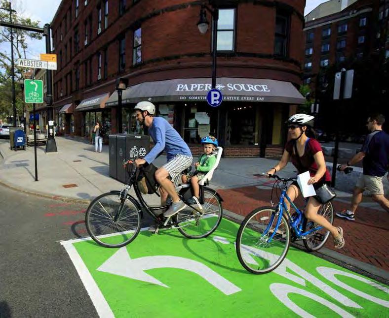
12. Bicycle Lane
13. Bicycle Box
1. Sidewalk
2. Crosswalk
3. Speed Table
4. Speed Cushion
5. ADA Curb Cut
6. Rapid Flashing Beacon
7. Hand Man (Count Down Timer)
8. Pedestrian Refuge Island
9. Stormwater Management BMP
10. Multi-Use Trail
11. Sharrow
12. Bicycle Lane
13. Bicycle Box
48
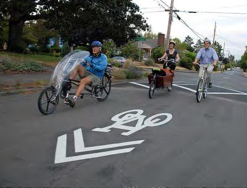
14. Bump Out / Curb Extension
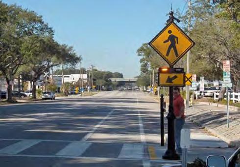
Sidewalk
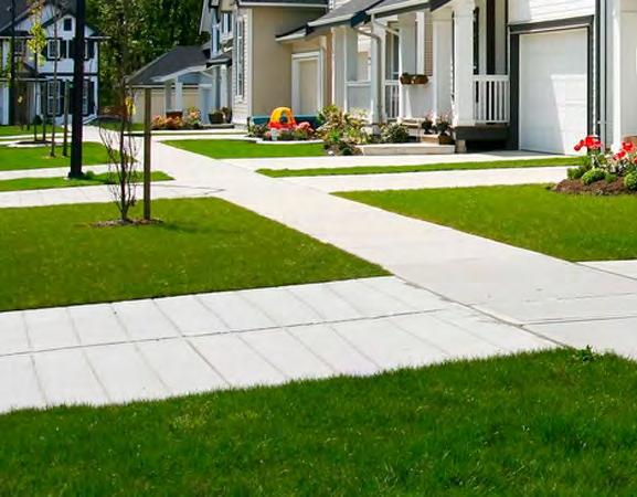
49
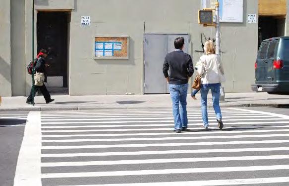
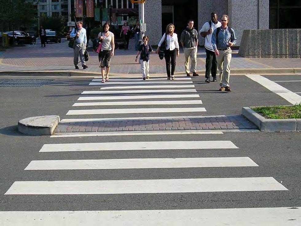
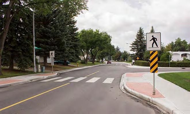
Crosswalk
50
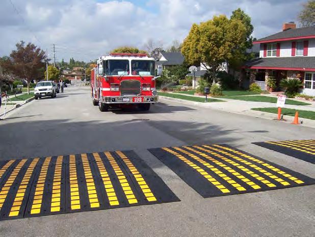
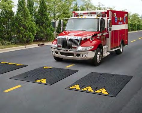
Speed Cushion
51
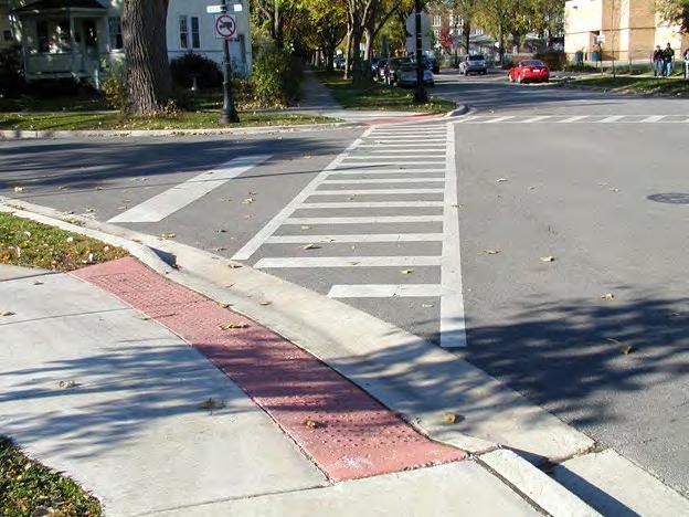
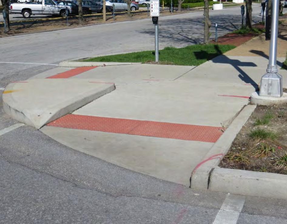
ADA Curb Cut
52
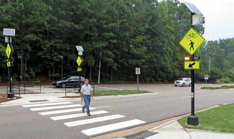
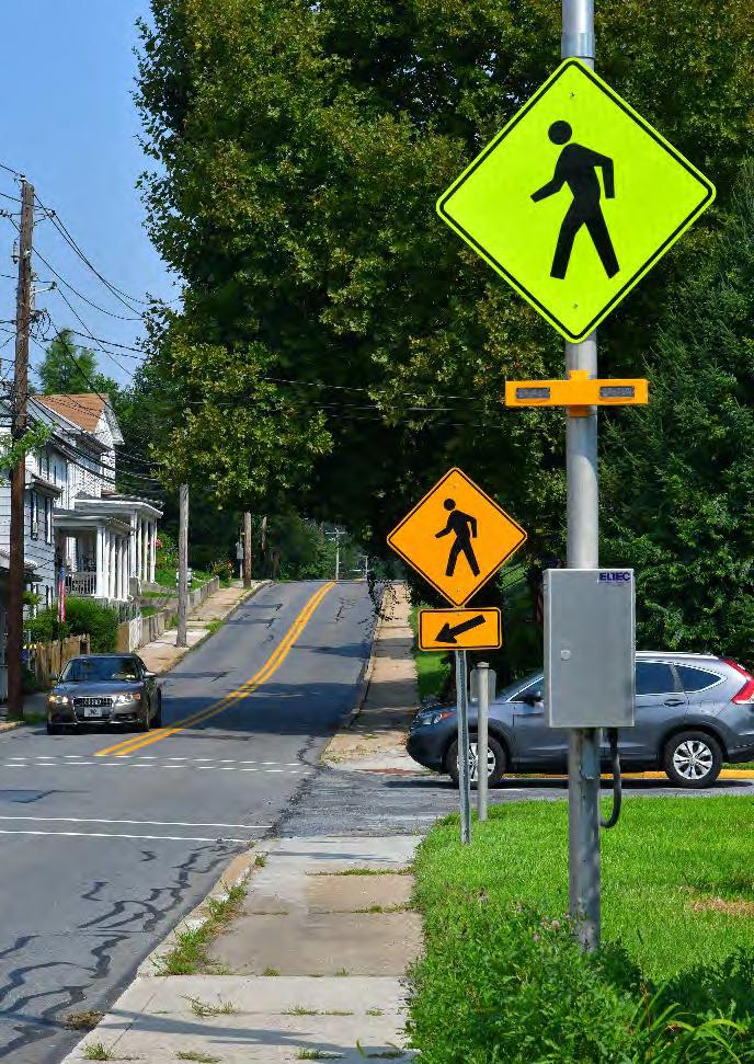
Rapid Flashing Beacon
53
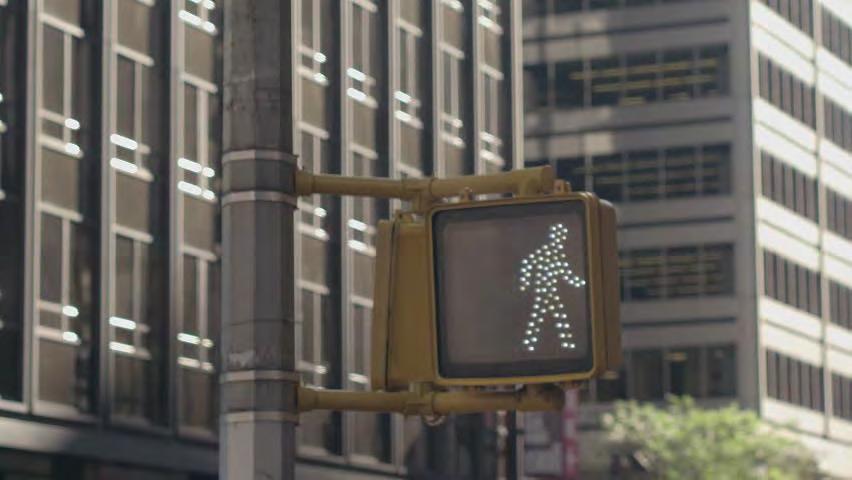
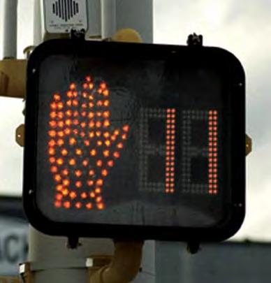
Hand Man (Countdown Signal)
54
Pedestrian Refuge Island
55
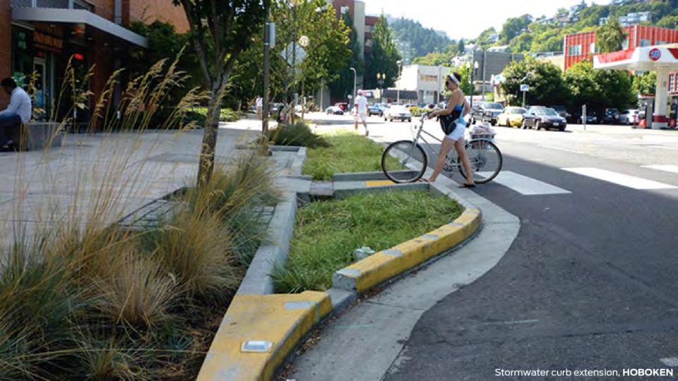
Stormwater BMPs
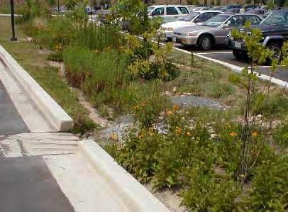
56
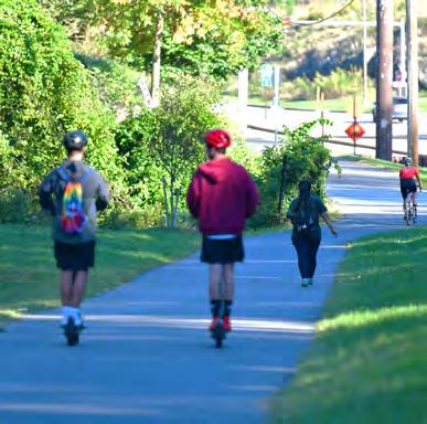
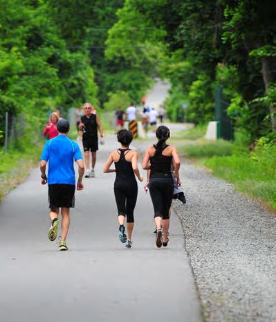
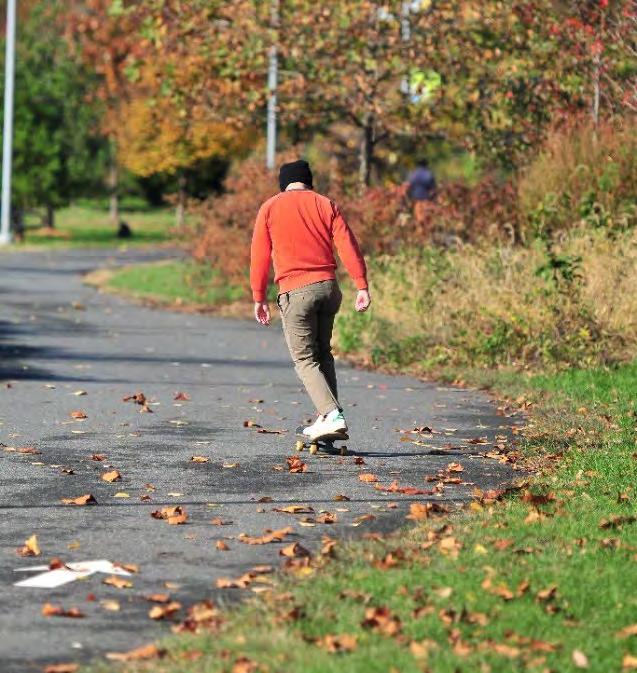
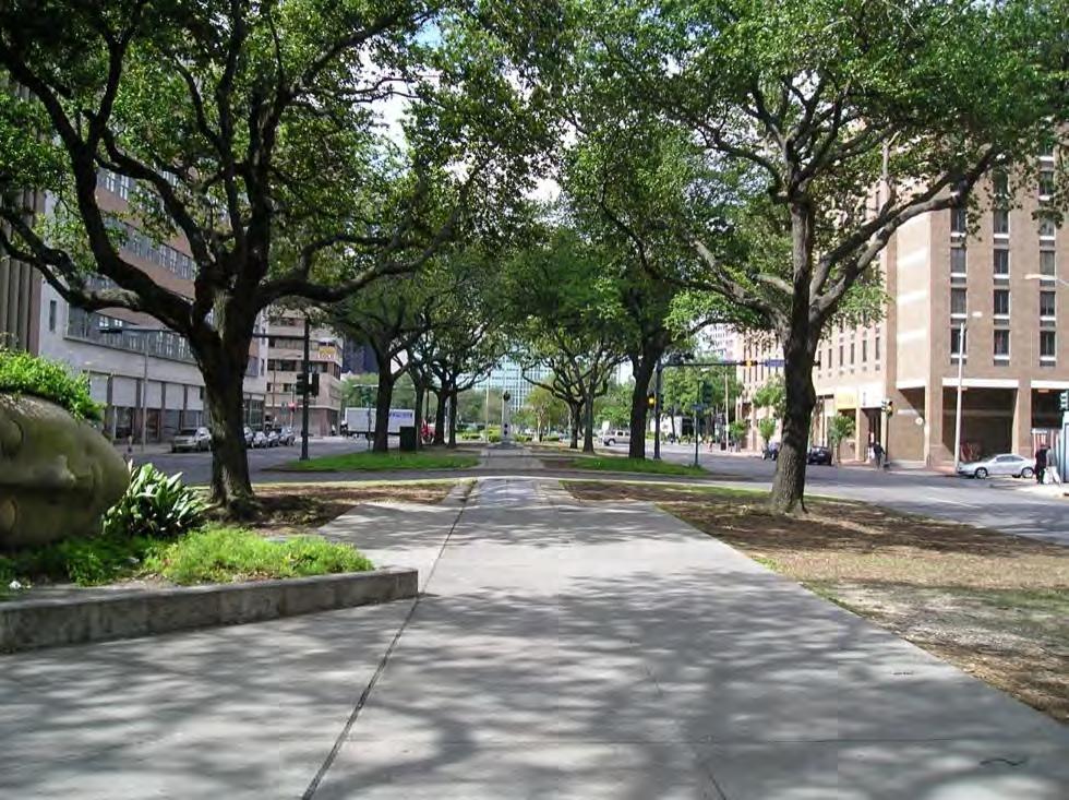
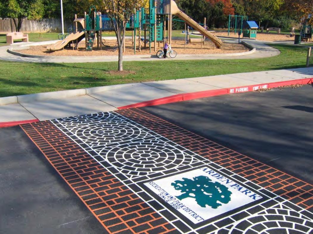
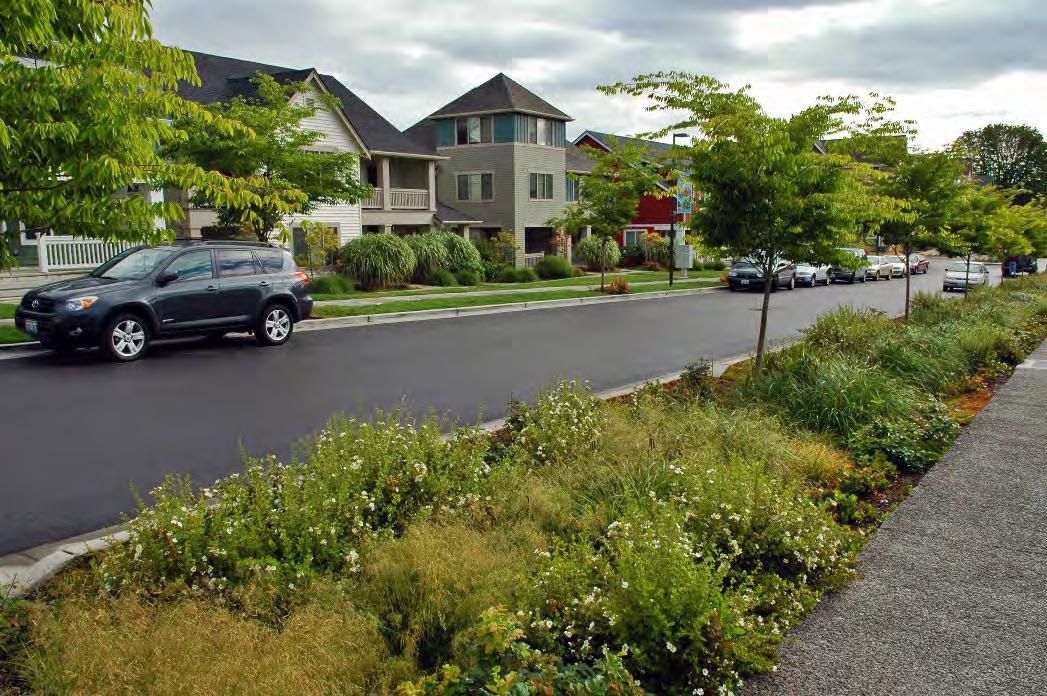
Multi-Use Trail
57
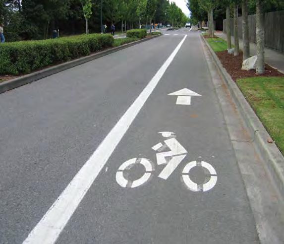
Sharrow
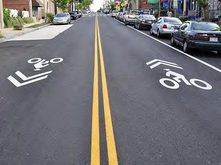
58
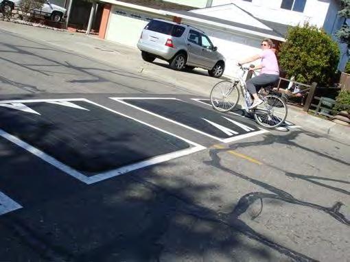
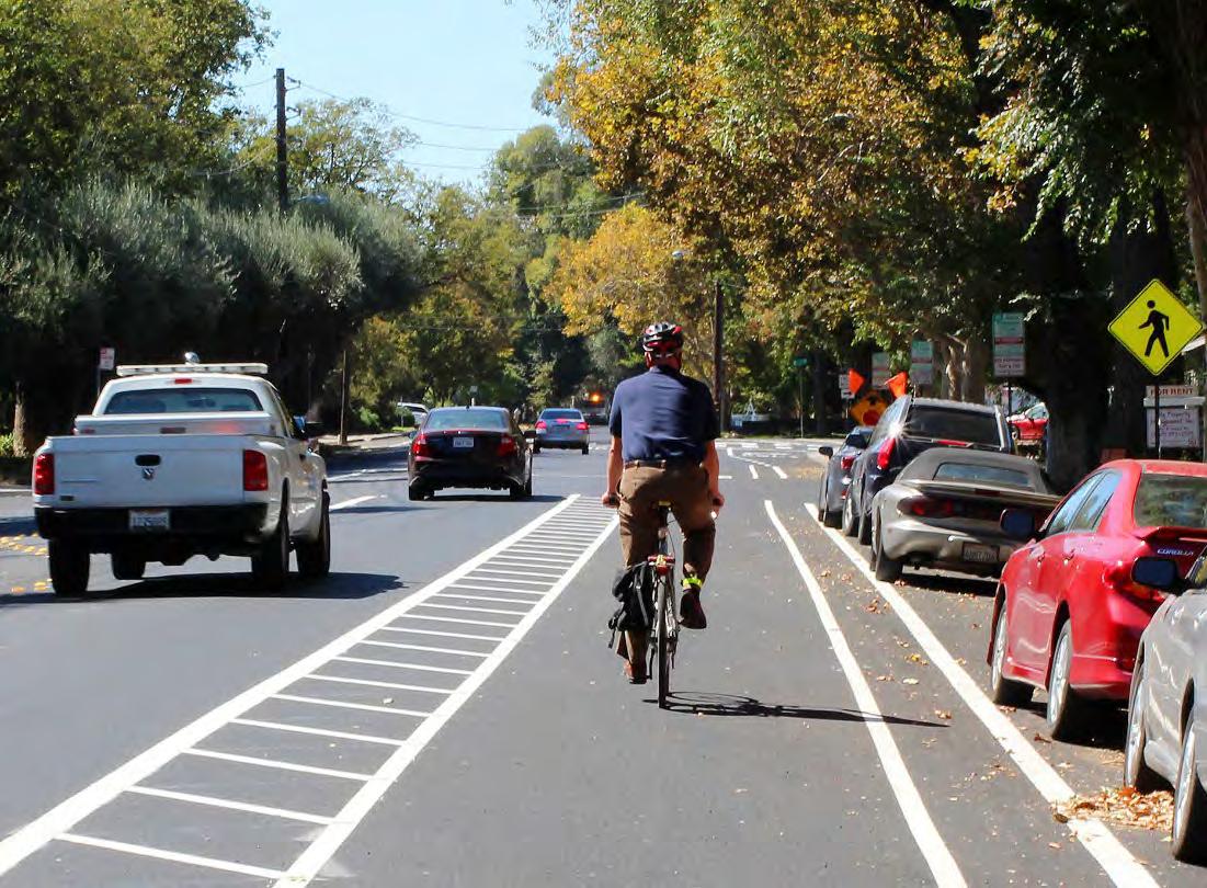
Bicycle Lane
59
Bicycle Box
60
Bump Out/Curb Extension
61
Next Steps
• Online platform used to map public input

• Participants can add points and lines, or add files to show topics such as
• Barriers to Connectivity and Challenging Areas

• Desired Trails and Sidewalks
• Existing Trails
• Facts
• Photographs
• Points of Interest
• Proposed Amenities
Scan now 62
Schedule Next Steps
Community input to Wikimap
• Pick up flyer with QR code today!
• Invitation to the Renaissance Park community coming!
Analysis & Interviews
Look for Invitation to Wikimapping
Input next week!
Next meeting-Draft Plan Presentation: Nov. 16th
Begin Draft Connectivity Plan

Next Public Meeting: November 16th

63
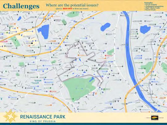
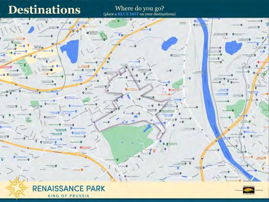
Desired Routes, Destinations and Challenges
Desired Routes
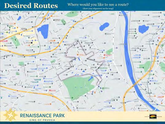


Where do you like to see a route?
• Existing Trails
• Connect to a Neighborhood
Destinations
• Schools
• Parks
• Business
Challenges
• Narrow Roads
• Needed Easements
• Difficult Intersections
64
Thank you!
KING OF PRUSSIA
