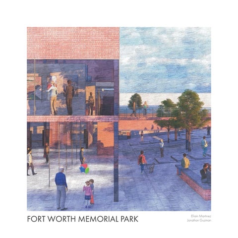
FORT WORTH MEMORIAL PARK
 Efrain Martinez
Jonathan Guzman
Efrain Martinez
Jonathan Guzman
Efrain Martinez
Jonathan Guzman
Conceptual Drawing - 03 Site Model - 01

Urban Design Project - 10


Visitors Center - 17


The site model consists of Northside, Panther Island and Downtown located in Fort Worth. The drawing of the model maps the location of each of the groups projects embeded in the urban fabric of the Panther Island area. Graphically mapping the area allows us to see the past, present, and future of Panther Island and also analyze how we begin to engage the ground and carve into the land. With the proposal of Panther Island and the addition of canals into the ground we can begin to analyze how the land is intended to be made. The studios projects researched the history of Fort Worth and the story of Fred Rouse to design a memorial that engages with the ground and responds to social issues in the area
Green Spaces Trinity River Topography
The drawing consists of a hierarchy of the analysis plates. The layout of bulding locations and green spaces act as the soild infill. Meanwhile the negative space tells the story of Opal Lee and Fred Rouse. The mapping of historic Fort Worth pinpoints the location of the lynching site of Fred Rouse.
Our proposal for the memorial site is located along the east side of the Panther Island, with historic Douglas Park, on the southeast side of the island. This allows us to express the suffering and moments of oppression for minorities in Fort Worth and the nation. Significant figures such as Opal Lee, will be memorialized and tell the story on how members of the KKK forced her and her family out of their house as cops stood by and watched it happen. Fred Rouse, a butcher at Swifting Co. was shot, beaten and lynched by the KKK. With many more similar stories that happened. We decided to use the historic location of Douglas park, because it served as a popular public space for minorities in the past. Thus, giving a way for integration between the different social classes to come together. With the use of a historical boulevard we can begin to connect public spaces for community engagement to tell the history of Fort Worth and the social injustice that has occurred throughout time.

The Urban Design Project began with an analysis of the site consisting of Northside, Panther Island and Downtown. Mapping the axis of Main Street and analyzing how it connects all three areas allows us to investigate how public spaces connect to the axis of Main St.
 Historic Fort Worth Present Day

The concept behind the urban design proposal is to reclaim the historic land of Douglas Park by engaging it with the axis of Main Street to invite people into the Memorial Park. Using the analysis of the site allows the engaging of the land with the memorial park to tell the history of Fort Worth.


Part of our urban design strategy dealt with carving into Panther Island by removing strips of earth along the River to engage the public with the water
The future proposal of Panther Island deals with the addition of canals and removal of the levee. Therefore we chose to embrace the canals and use it in our design.
The major streets on our site consist of Main St., White Settlement Rd. and Northside Dr.
The strategy to the urban design of our proposal came from our initial site analysis. By analyzing public spaces along Main Street, it allowed us to stack lines along the main axis.
Introducing green spaces into Panther Island along the canals, allows for pedestrians to engage with the Memorial and be drawn to the public space.
Keeping the existing paths of Panther Island to maintain the public engagement of the land and along the Trinity River
01 - Section at Meditation Gardens

02 - Section at Underground Path
03 - Section at Fred Rouse Memorial
02 - Section at Underground Path
01 - Section at Meditation Gardens
03 - Section at Fred Rouse Memorial

Closer analysis of the site shows that the Visitors Center is located at the historic site of Douglas Park. The repeated theme of the axis of Main Street is represented through the boulevard that runs the entire length of Fort Worth Memorial Park. The further use of connecting axises is graphically mapped on the site plan to further the design.


