International Research Journal of Engineering and Technology (IRJET)
e-ISSN: 2395-0056
Volume: 12 Issue: 03 | Mar 2025
p-ISSN: 2395-0072
www.irjet.net
Drones: Advancing Industries Shourya Gupta [1] Diploma in Computer Engineering, Thakur Polytechnic, Thakur Complex, Kandivali East, Mumbai - 400101 ---------------------------------------------------------------------***--------------------------------------------------------------------These UAVs have lately become very popular due to their Abstract - Unmanned Aerial Vehicles (UAVs), commonly affordable price and extraordinary performance in different fields.
referred to as drones, have quickly progressed from military instruments to vital resources in a variety of sectors. Their increasing visibility demonstrates their revolutionary influence on contemporary society, propelling developments in domains including building, infrastructure, security, surveillance, search and rescue, and agriculture. This essay classifies several drone kinds according to their utility and design while examining the history of drones, from their early military use to their present uses. It also looks at how drones improve production and efficiency in a variety of industries, tackling major issues in infrastructure, farming, security, and search and rescue. This study shows how UAVs are transforming industries and making them more technologically sophisticated, efficient, and cost-effective by analyzing real-world applications.
2. HISTORY The first unmanned aircraft was created 16 years after the flight of the Wright brothers. The drone is called Ruston Proctor Aerial Target. In 1782, the Montgolfier brothers in France were the first to experiment with balloons using unmanned aerostats before going up themselves.
Key Words: - Drones, UAVs, military, industries, agriculture, security, surveillance, technology
1.INTRODUCTION
Fig-2: Timeline of Drones In 1849, the Austrians then launched an attack on Venice using UAVs. Drones were first limited to use in combat. During the Spanish-American War later in 1910, the United States of America deployed balloons loaded with bombs. During World War I, the United States and Britain created the first pilotless vehicles. Jet-powered drones known as the Lightning Bug and Ryan Firebee were employed as remote warfare aircraft in 1960. Drones were widely employed to monitor the environment and climate by 1993.
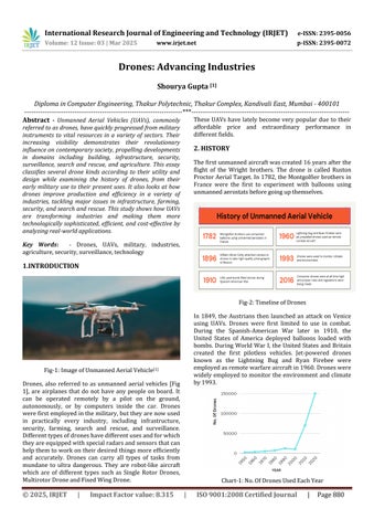
Fig-1: Image of Unmanned Aerial Vehicle[1] Drones, also referred to as unmanned aerial vehicles [Fig 1], are airplanes that do not have any people on board. It can be operated remotely by a pilot on the ground, autonomously, or by computers inside the car. Drones were first employed in the military, but they are now used in practically every industry, including infrastructure, security, farming, search and rescue, and surveillance. Different types of drones have different uses and for which they are equipped with special radars and sensors that can help them to work on their desired things more efficiently and accurately. Drones can carry all types of tasks from mundane to ultra dangerous. They are robot-like aircraft which are of different types such as Single Rotor Drones, Multirotor Drone and Fixed Wing Drone.
© 2025, IRJET
|
Impact Factor value: 8.315
Chart-1: No. Of Drones Used Each Year
|
ISO 9001:2008 Certified Journal
|
Page 880