2 minute read
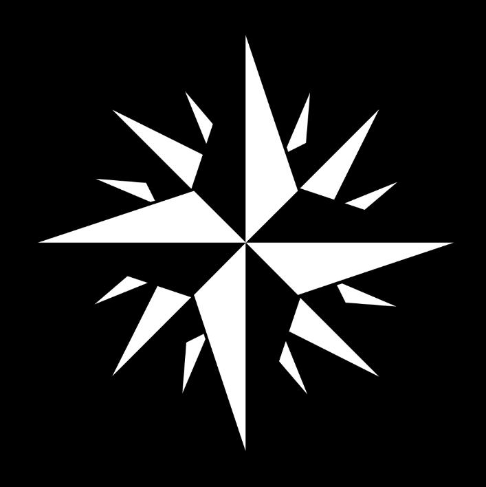
Activity 2


1. In which direction must the butterfly fly to reach the following animals? (7) 1.1 The lion 1.2 The tortoise 1.3 The monkey 1.4 The elephant 1.5 The pig 1.6 The sheep 1.7 The bird
2. In which direction must the following animals move to reach the butterfly? (3) 2.1 The shark 2.2 The monkey 2.3 The fish
[10]
ACTIVITY 2
Use the map of the park to answer the following questions.
1. What symbols are used to indicate the following? 1.1 A tree 1.2 The path 1.3 A flowerbed
2. How many flowerbeds are there in the park? (3)
(1)
4. How many see-saws are there in the park?
5. If you like building sand castles, where would you play?
1.3 Indexing maps
(1)
(1) [7]
The following definitions relate to how and where indexes are used:
DEFINE
Alphabetical In the order of the alphabet, i.e., from A to Z. Example: South Africa’s provinces in alphabetical order: Eastern Cape Free State Gauteng KwaZulu-Natal Limpopo Mpumalanga Northern Cape North West Western Cape
Landmark A large building, tree, mountain or any prominent, familiar and easily recognisable structure which serves as a guide. Example: The Voortrekker Monument in Pretoria.
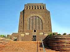
Source: https://goo.gl/MPZH86
The Voortrekker Monument is a famous landmark in Pretoria.
Reference Something, usually a set of letters or figures, that serves to identify somebody or something, i.e., a point on a map.
Example:
Represents an orchard or vineyard on a topographic map.
Most maps are divided into a grid system, to make it easier to find a specific point of interest. These maps use variables down both sides of the map, so that each point has two variables, from north to south and from west to east. The world is also divided into a grid system called coordinates, which will be discussed in detail in lesson 5. However, the grid system is very similar. Look at the following map, which has been divided into a grid system.
We can easily find a place by using a grid system. The columns are represented by numbers, which appear at the top and/or bottom of the page. The rows are identified by letters appearing on the left and/or right of the map. Any grid can quickly be identified using a letter and a number, e.g., D4. Go to row D, then move to column 4. Where these two (row and column) meet, you’ll find D4.