HINDMARSH SHIRE COUNCIL
Performance Statement
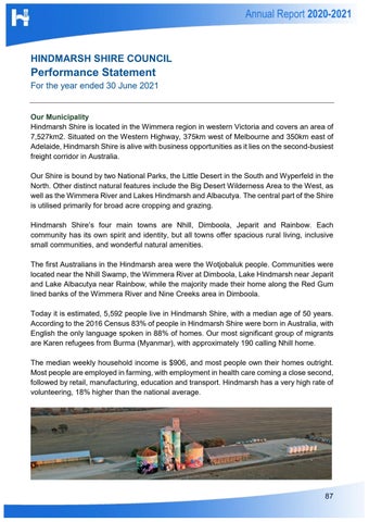
For the year ended 30 June 2021 Our Municipality Hindmarsh Shire is located in the Wimmera region in western Victoria and covers an area of 7,527km2. Situated on the Western Highway, 375km west of Melbourne and 350km east of Adelaide, Hindmarsh Shire is alive with business opportunities as it lies on the second-busiest freight corridor in Australia. Our Shire is bound by two National Parks, the Little Desert in the South and Wyperfeld in the North. Other distinct natural features include the Big Desert Wilderness Area to the West, as well as the Wimmera River and Lakes Hindmarsh and Albacutya. The central part of the Shire is utilised primarily for broad acre cropping and grazing. Hindmarsh Shire’s four main towns are Nhill, Dimboola, Jeparit and Rainbow. Each community has its own spirit and identity, but all towns offer spacious rural living, inclusive small communities, and wonderful natural amenities. The first Australians in the Hindmarsh area were the Wotjobaluk people. Communities were located near the Nhill Swamp, the Wimmera River at Dimboola, Lake Hindmarsh near Jeparit and Lake Albacutya near Rainbow, while the majority made their home along the Red Gum lined banks of the Wimmera River and Nine Creeks area in Dimboola. Today it is estimated, 5,592 people live in Hindmarsh Shire, with a median age of 50 years. According to the 2016 Census 83% of people in Hindmarsh Shire were born in Australia, with English the only language spoken in 88% of homes. Our most significant group of migrants are Karen refugees from Burma (Myanmar), with approximately 190 calling Nhill home. The median weekly household income is $906, and most people own their homes outright. Most people are employed in farming, with employment in health care coming a close second, followed by retail, manufacturing, education and transport. Hindmarsh has a very high rate of volunteering, 18% higher than the national average.
87

