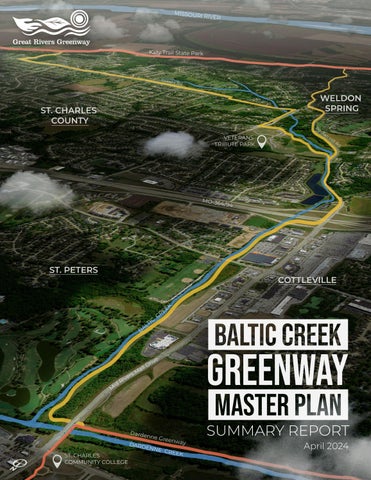
Baltic Creek Greenway is the newest proposed project in Great River’s Greenway’s network of open space across the St. Louis region. This Summary Report is an overview of the master planning results from a year long process to identify alignment opportunities and naming for a new greenway in St. Charles County, MO. The report is organized into the following sections:
• Discovery - Summary of background gathered with input from project partners, committees and the community.
• Analysis - Mapping, Slopes, Alternatives with pros & cons, public input summary and evaluation matrix.
• Recommendation - Preferred alignments, greenway typologies, phasing/cost summary and next steps.
• Appendices - Separate document with more detailed project related information.
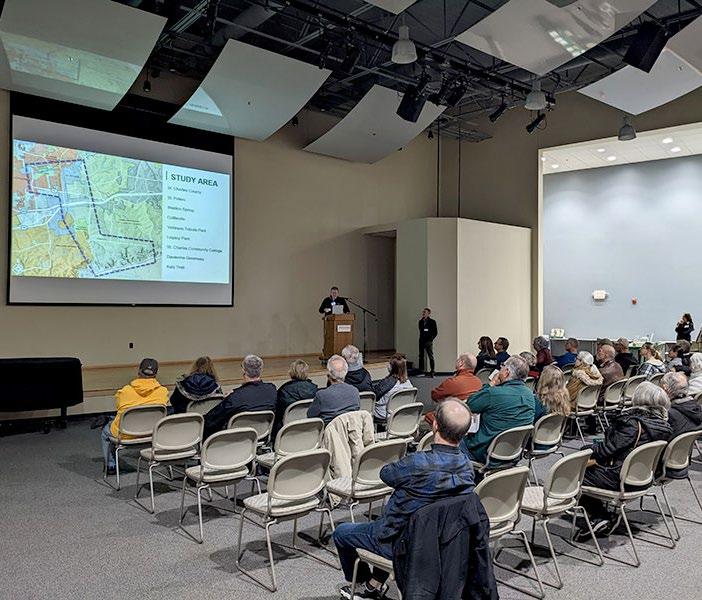
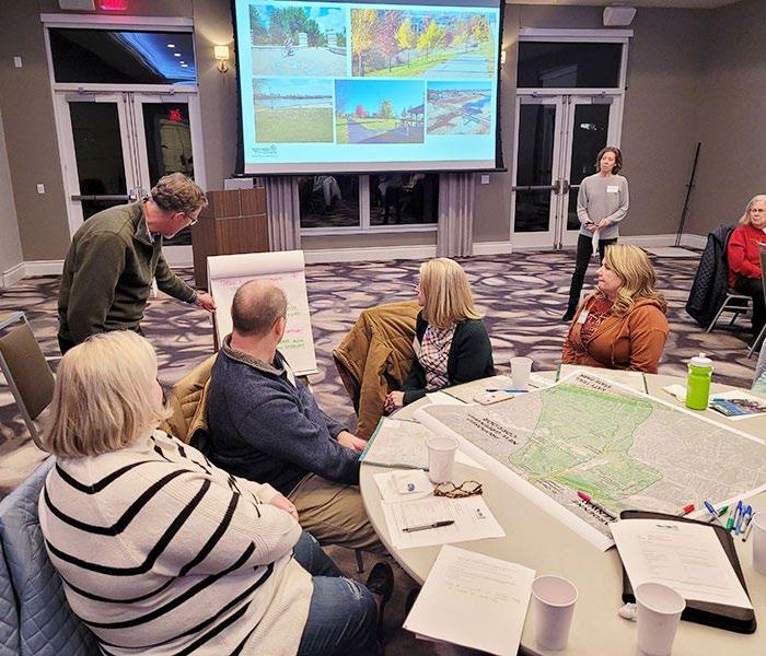
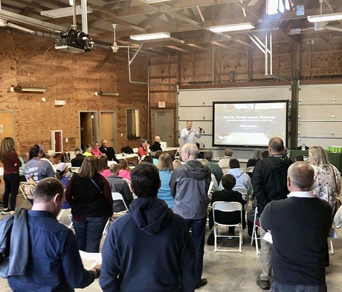
Great Rivers Greenway would like to acknowledge and thank those who contributed their time and valuable input for this study. Participation from the Community Advisory Committee (CAC) members, Technical Advisory Committee (TAC) Agencies (MoDNR, MoDOT, East-West Gateway Council of Governments St. Charles County Highways, City of Cottleville, City of St. Peters, City of Weldon Spring, Greenway Network, Trailnet, St. Charles Community College, Ameren UE and Missouri American Water) was greatly appreciated. The goals of the project (below) were established through the contributions of the CAC, TAC and project partners.
COMMUNITY GOALS FOR THE GREENWAY
DISCOVERY
REGIONAL LOCATION
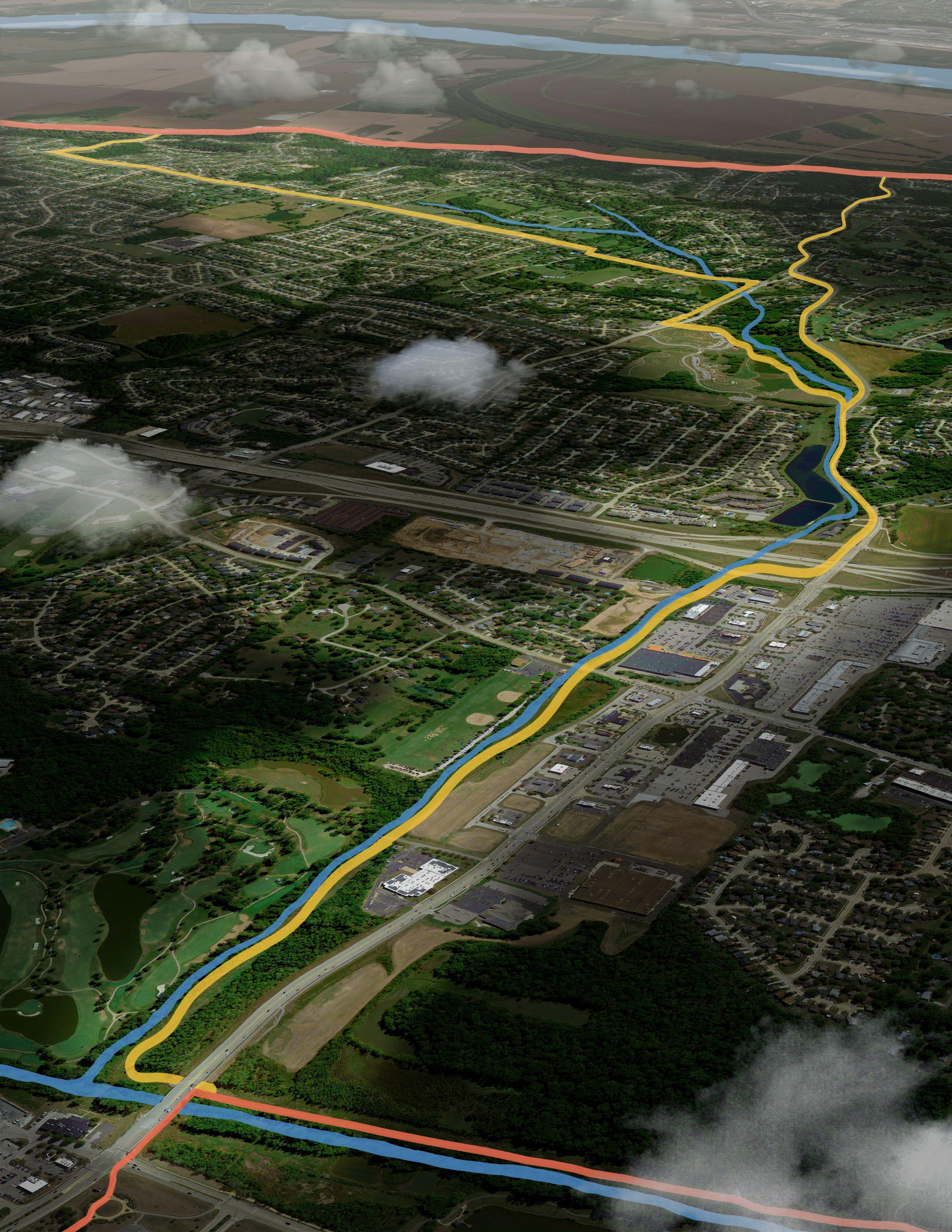
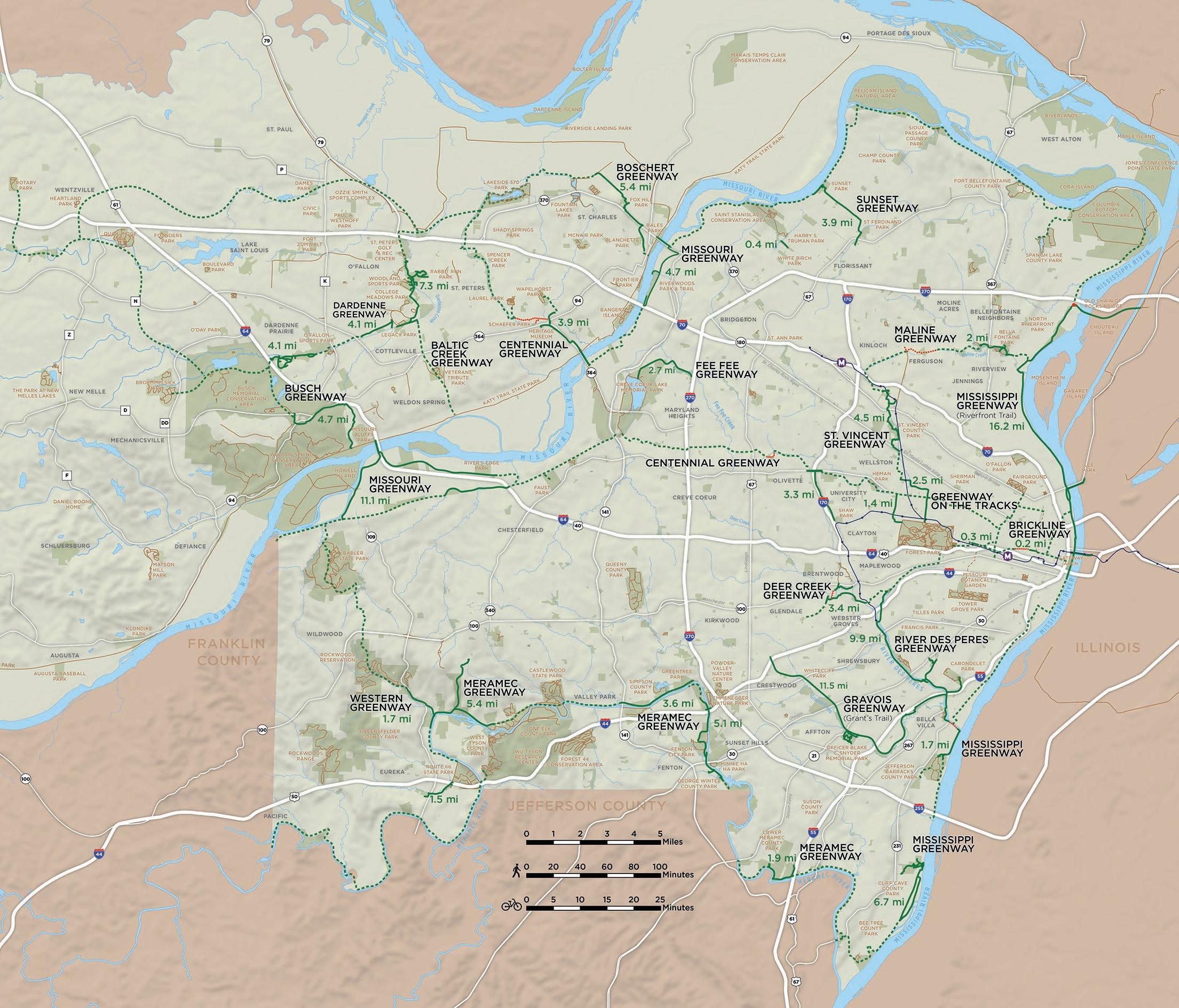
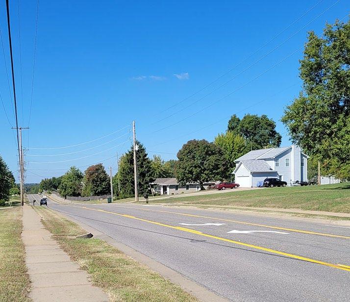
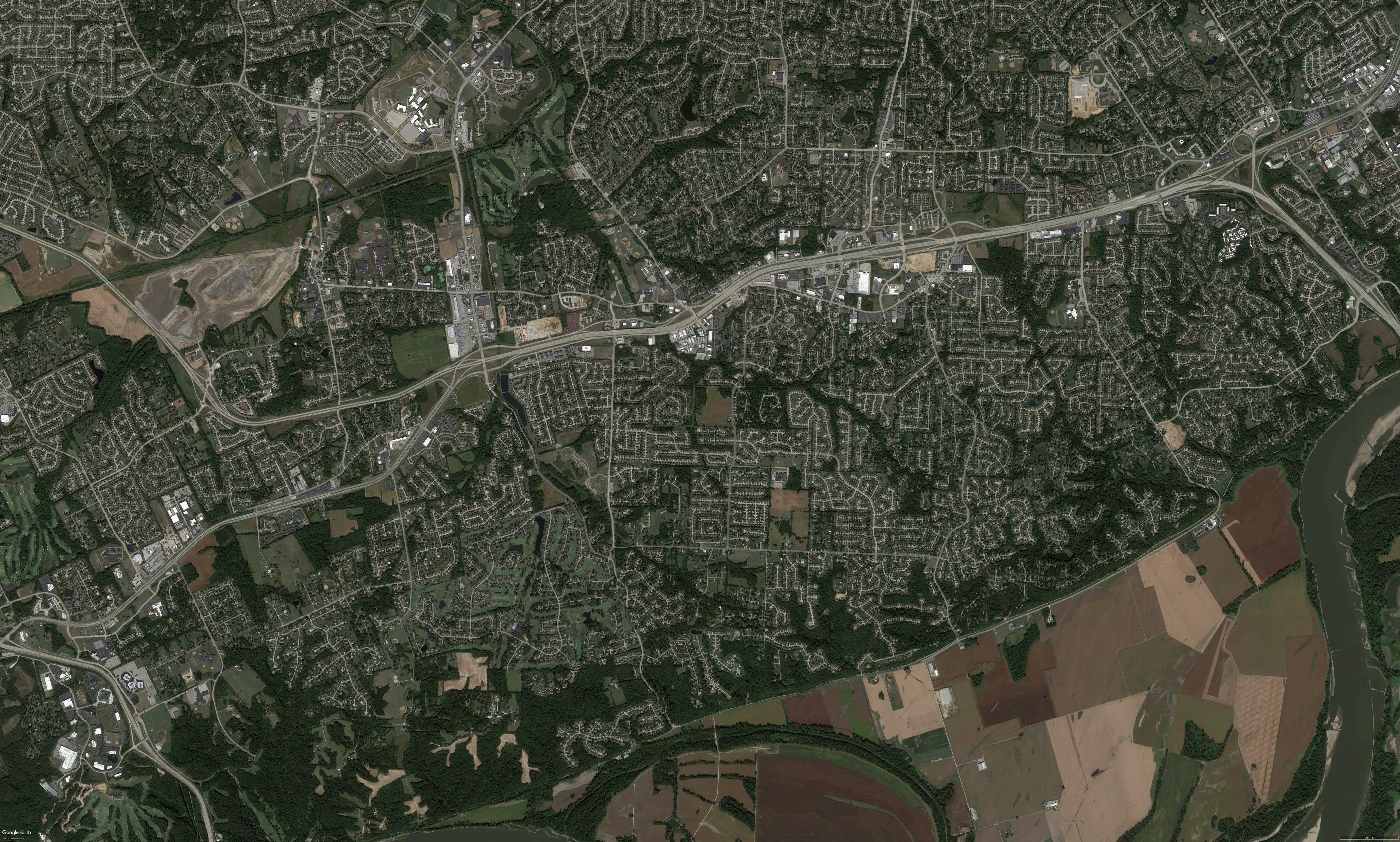
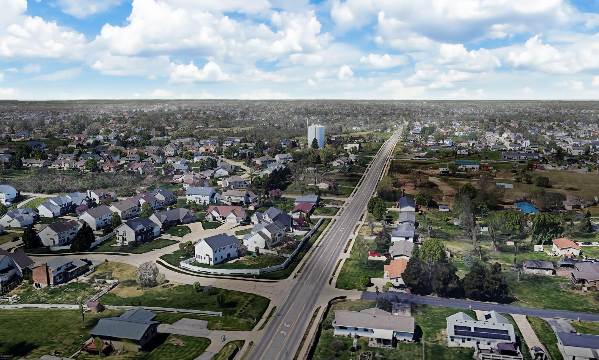
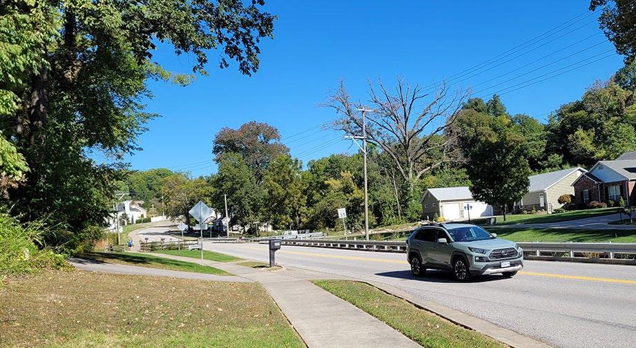
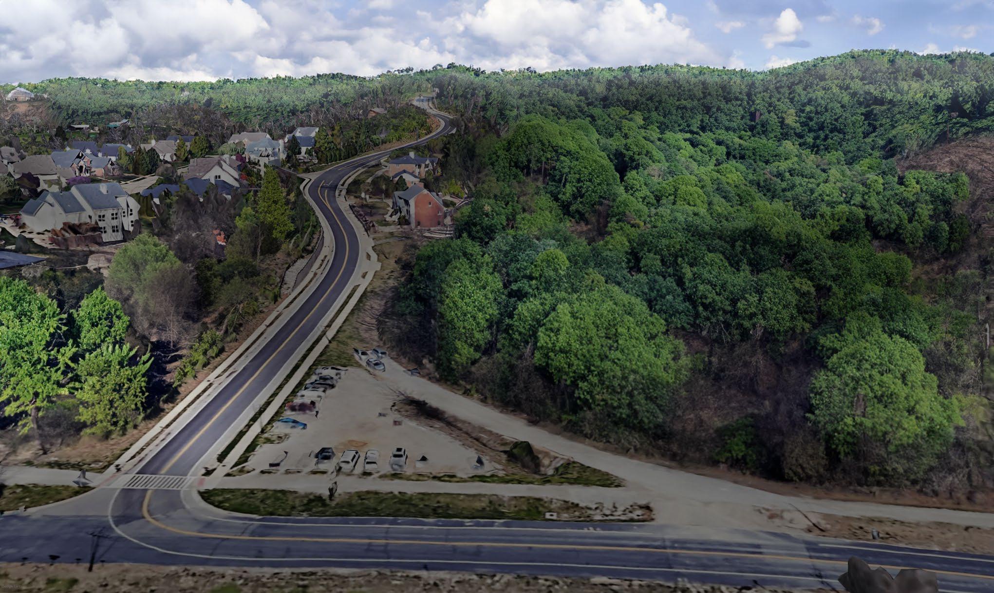
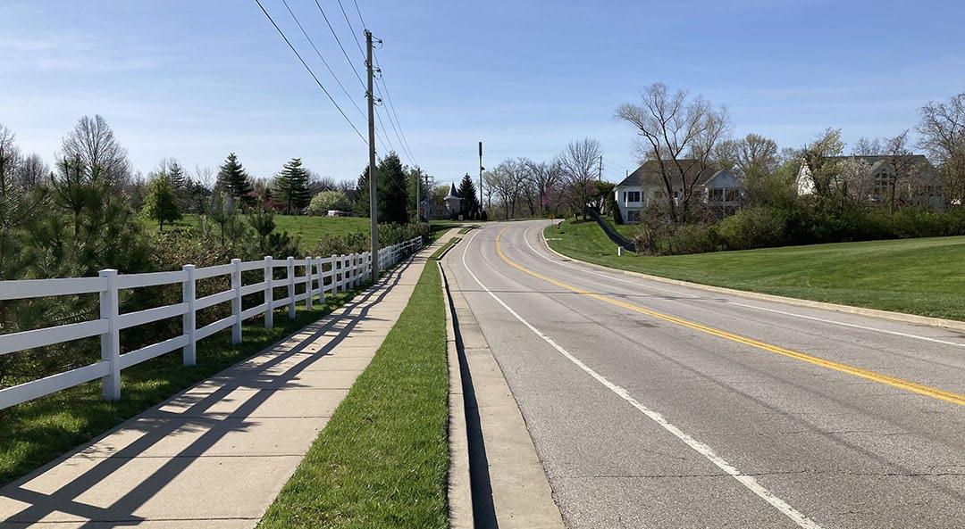
Great Rivers Greenway works within St. Charles County, St. Louis County and the City of St. Louis, Missouri, to develop a regional network of greenways serving approximately two million residents. Currently, there are four existing greenways located within St. Charles County: Boschert, Busch, Centennial and Dardenne Greenways. The study area (shown below) for Baltic Creek Greenway was identified as a high priority project through community engagement as part of the 2020 St. Charles County Greenway Master Plan.
STUDY AREA
DISCOVERY
STUDY AREA MAP
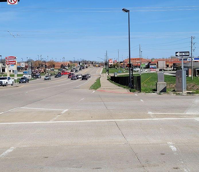
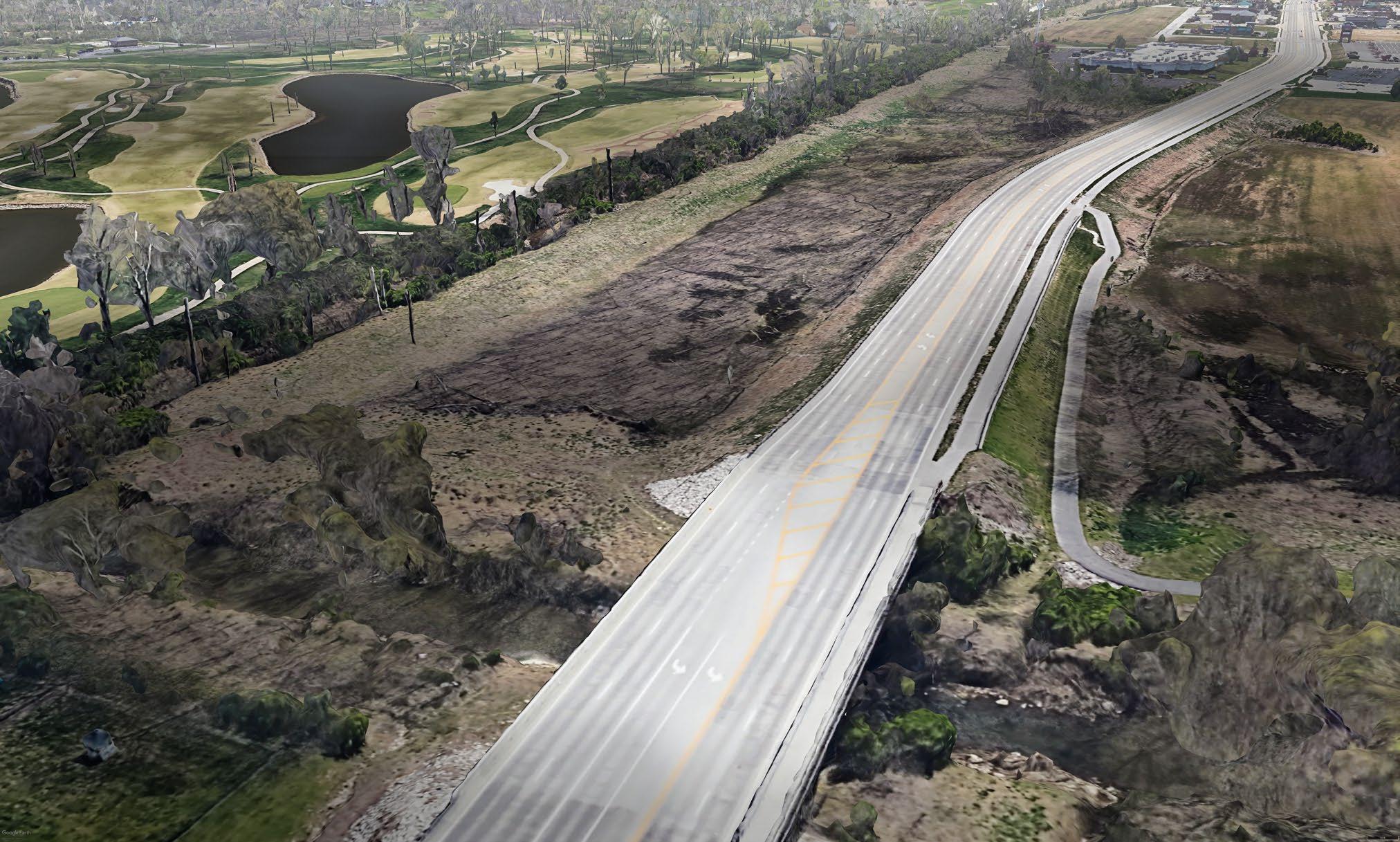
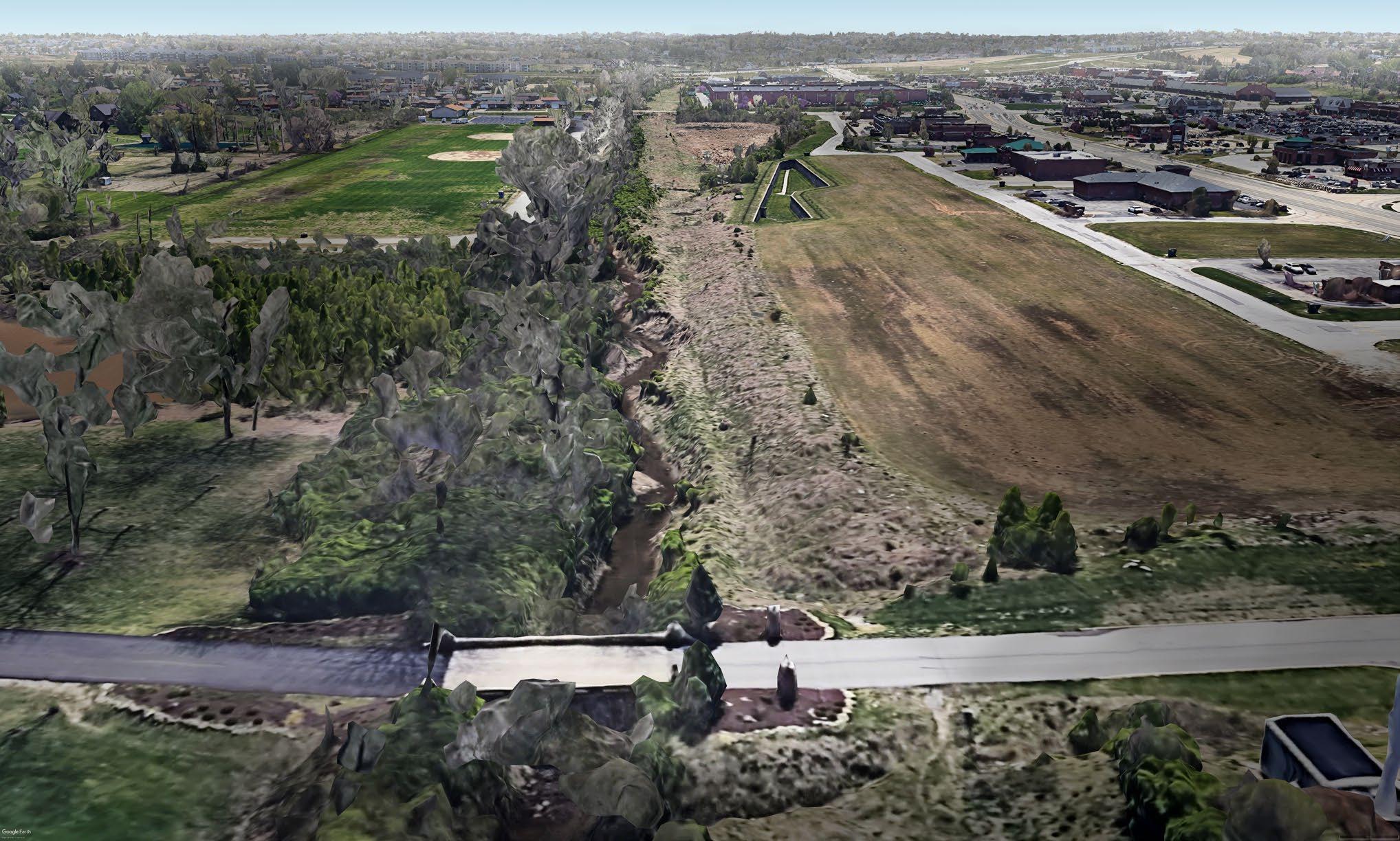
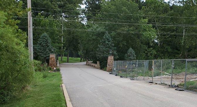
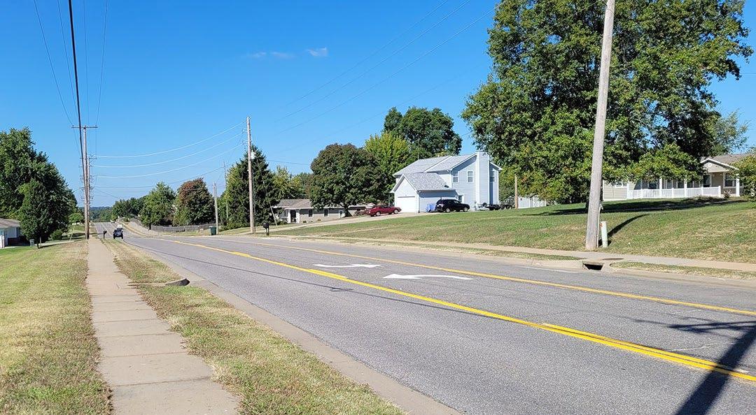
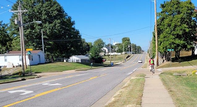
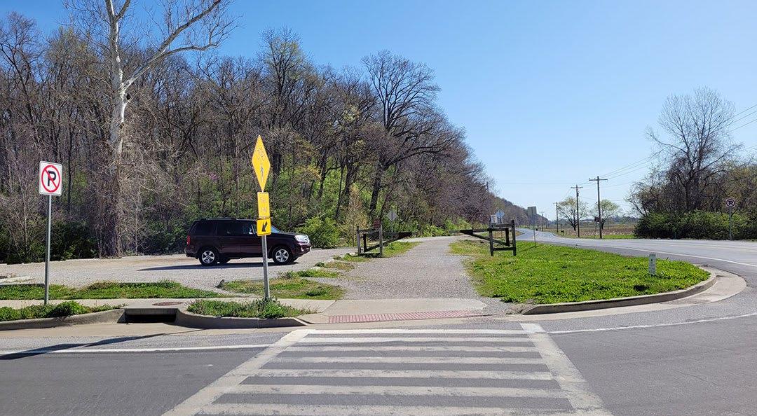
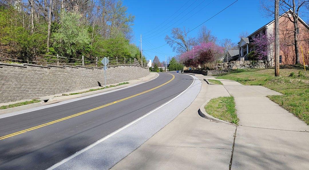
This map illustrates the limits of the study area for the Baltic Creek Greenway project. Three zones North, Middle and South were established for further investigation. The northern area boundary was MO-364/94, Highway N in Cottleville, Dardenne Greenway at St. Charles Community College and St. Peters Howell Road. The middle area boundary was identified as Towers Road, Pitman Hill Road, MO-364/94, and Kisker Road. The southern area boundary was identified as the Katy Trail State Park, Pitman Hill Road, Towers Road, and Caulks Hill Road. Alignment options within these three zones were developed to connect to primary destinations such as Veteran’s Tribute Park, commercial areas along Mid Rivers Mall Drive, neighborhoods, the Katy Trail State Park and schools.
KatyTrailStatePark
DISCOVERY PUBLIC ENGAGEMENT
SURVEY 1: NOV 2022 - JAN 2023
289 RESPONSES
Avoid cars and roads
Access natural areas (wooded areas, lakes, ponds)
Foster vibrancy, unique community character, and sense of place
Avoid steep slopes to accommodate wheelchairs, beginner cyclists, children, and older adults
WHAT ARE YOU MOST EXCITED ABOUT?
CONNECTIONS TO EXISTING TRAILS
DESIRED GREENWAY
CONNECTIONS
Downtown Cottleville
Veterans Tribute Park
Businesses on Mid Rivers Mall Drive
Kisker Road south of Central School Rd
Highway N/Central School Road near St. Peters Howell Rd
Pitman Hill Road south of MO-364/94
Mid Rivers Mall Drive btn. Cottleville Pkwy and MO-364/94
KATY TRAIL STATE PARK VETERANS TRIBUTE PARK
MID
ANALYSIS MAPPING
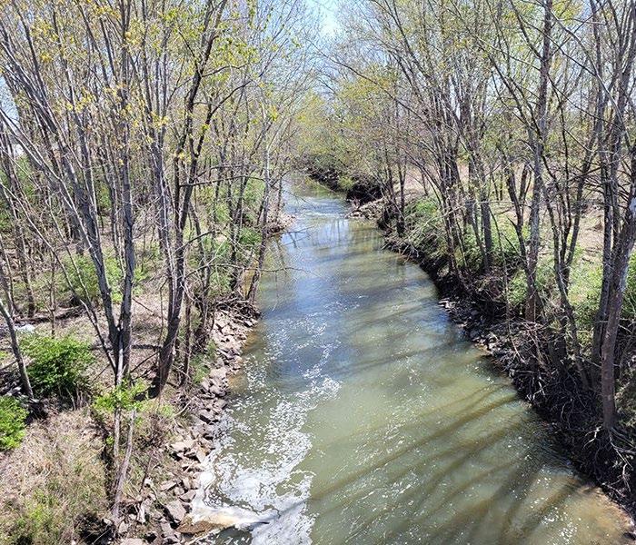
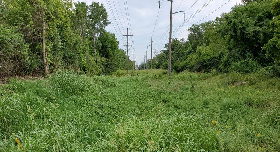
The following Land Use and Land Cover maps are just a few examples of the analysis that was completed by the planning team as part of the study. The top three land uses in the study included Residential, Parks/Open Space and Commercial which indicated that connections to these major land uses should be considered in the alignment options. The top three land cover conditions in the study area were identified as Grassland, Deciduous Woody Vegetation and Urban / Impervious Areas. The concentration of woodland land cover is mostly in the south area and adjacent to the Dardenne Creek in the north. The more developed urban/impervious areas are north of MO-364/94.
LAND USE MAP (2030)
Deciduous Woody Vegetation
LAND COVER MAP
Barren / Sparsely Vegetated
ANALYSIS MAPPING
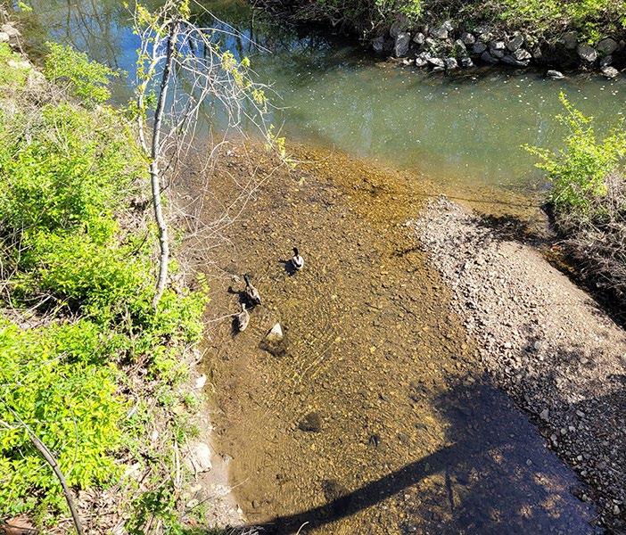
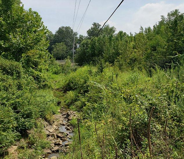
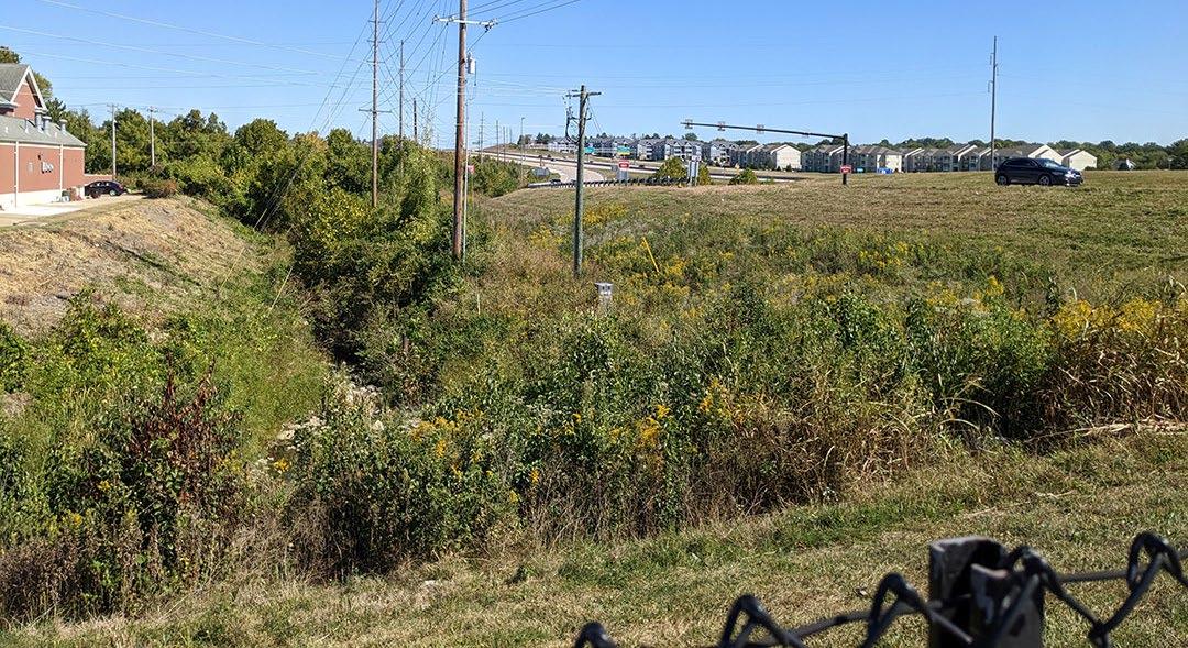
The following analysis maps illustrate Flood and Ecological Significance areas. The analysis of this type of data helped to inform decisions regarding the pros and cons of the various alignment options that were developed. The Flood Map indicates that areas mostly around Dardenne Creek are subject to flood hazard and potential wetland areas which may limit greenway development or at least require mitigation. Highly significant ecological areas as identified by East-West Gateway Council of Governments are concentrated in the north near Dardenne Creek and in the south near the Katy Trail State Park. The majority of the study area is on the lower end of the ecological significance scale. A goal of greenway development is to connect users to and also protect/enhance ecologically significant areas.
FLOOD MAP
Dardenne
ANALYSIS SLOPES
SOUTH AREA SLOPE MAP
ROAD PROFILES
Katy Trail State Park
ANALYSIS SLOPES
RECOMMENDED SLOPE* (0-2%)
MAX RECOMMENDED SLOPE (2-5%)
5% slopes are the maximum allowed for an accessible trail.
MEDIUM DIFFICULTY (5-8%)
Slopes above 5% along an accessible path are considered ramps that require hand railings and frequent landings. Slopes above 8% are only allowed if constructed with an existing right-of-way.
8.3% slopes are the maximum for accessible ramps.
HIGH DIFFICULTY (8-12%)
10% slopes are acceptable for short distances along trails.
VERY HIGH DIFFICULTY (>12%)
Slopes above 12% are very difficult for most users and should be avoided if possible.
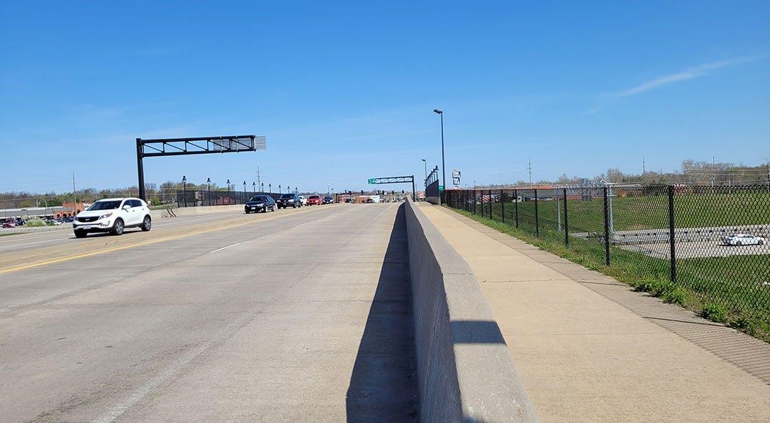
• Connects to Mid Rivers Mall Dr Traffic separation at highway CONS
Adjacent to road
• Several at-grade intersection crossings
• Existing trail not to GRG standards
PROS
• Separated from traffic CONS
• Cost (Grade Separated crossing)
PROS Off-Road
• Existing multi-use path
• Park setting CONS
Existing trail not to GRG standards
• Potential conflicts with current park users
PROS
• Direct access to park via crosswalk Can use MO-364/94 underpass
• Connects to Residential Neighborhoods
• Kisker Rd has excess capacity
• Old ROW possible for alternative alignment from Towers Rd to Kisker Rd CONS
• Adjacent to road Traffic (4 lane - high speed)
• Distance from MRM Dr
• Narrow ROW at MO-364/94 underpass
Veterans Tribute Park
SOUTH AREA ALTERNATIVES
St. Charles City-County Library
PROS
• Direct route to Veterans Tribute Park
Existing trailhead at Katy Trail State Park
Provides access to go west on Katy Trail (more popular route)
• Potential partnership with future development sites to bypass steepest section of Pitman Hill Rd
CONS
Very steep slopes
• Limited Right-of-Way width
LEGEND
Existing Greenway / Trail
Off-Road Alignment
Road Adjacent Alignment
Existing Path (Adjacent)
Existing Path (Off-Road)
Alignment Option X1
Towers Rd
Creek
PROS
Towers Rd is relatively level Generous ROW width on Towers Rd
Connects to Residential Neighborhoods
CONS
• Further from Veterans Tribute Park
• Steep slopes on Caulks Hill Rd
• Numerous driveway and road curb cuts on Towers Rd
• Inconvenient for users to go west on Katy Trail (more popular route)
SURVEY AND MEETING RESULTS ANALYSIS
S U R V E Y 2: MAY 20 2 3 - J UN 202 3
A second survey was conducted in the spring of 2023 to narrow down options for each section of the alignment. The survey asked respondents to rate how each section performed against the project goals.
252 RESPONSES
WHICH ALIGNMENT OPTION RANKED BEST AT MATCHING THE COMMUNITY GOALS?
Connect to parks and natural areas
Inspire people to get outside
Connect to unique local destinations
Avoid high traffic roads
Prioritize safety
Accommodate people of all ages and abilities
WHICH ROUTE IS PREFERRED BY THE PUBLIC?
N4 M1 NORTH AREA MIDDLE AREA
S1 / S2 SOUTH AREA TOP 3 GREENWAY NAMES
RIDGELINE
BALTIC RIDGE
BALTIC CREEK
ANALYSIS
EVALUATION MATRIX
The Baltic Creek Greenway evaluation categories and factors were created to be utilized in an evaluation matrix by which specific alignments could be compared and prioritized. The categories were grouped into three categories – User Experience, Feasibility and Public Preference. Within each of those three categories various factors were evaluated. For example, factors in the “User Experience” category included Connections, Topography, Neighborhood Access, etc. Each alignment was evaluated and given a numeric score of 1, 2, or 3 for each factor. The higher the score the better the alignment performs for that factor.
The score for each factor in a category (e.g. “Public Preference”) is totaled and averaged. In addition, if a particular alignment exhibited merits that were consistent with the Project Vision and Goals then that alignment received a 3-point, or 6-point bonus added to the total score. The matrix below is a summary of the scores in each of the three categories. The name and location of each alignment evaluated is listed on the left side of the matrix. The evaluation categories are listed along the top row of the matrix.
OVERALL ALIGNMENT
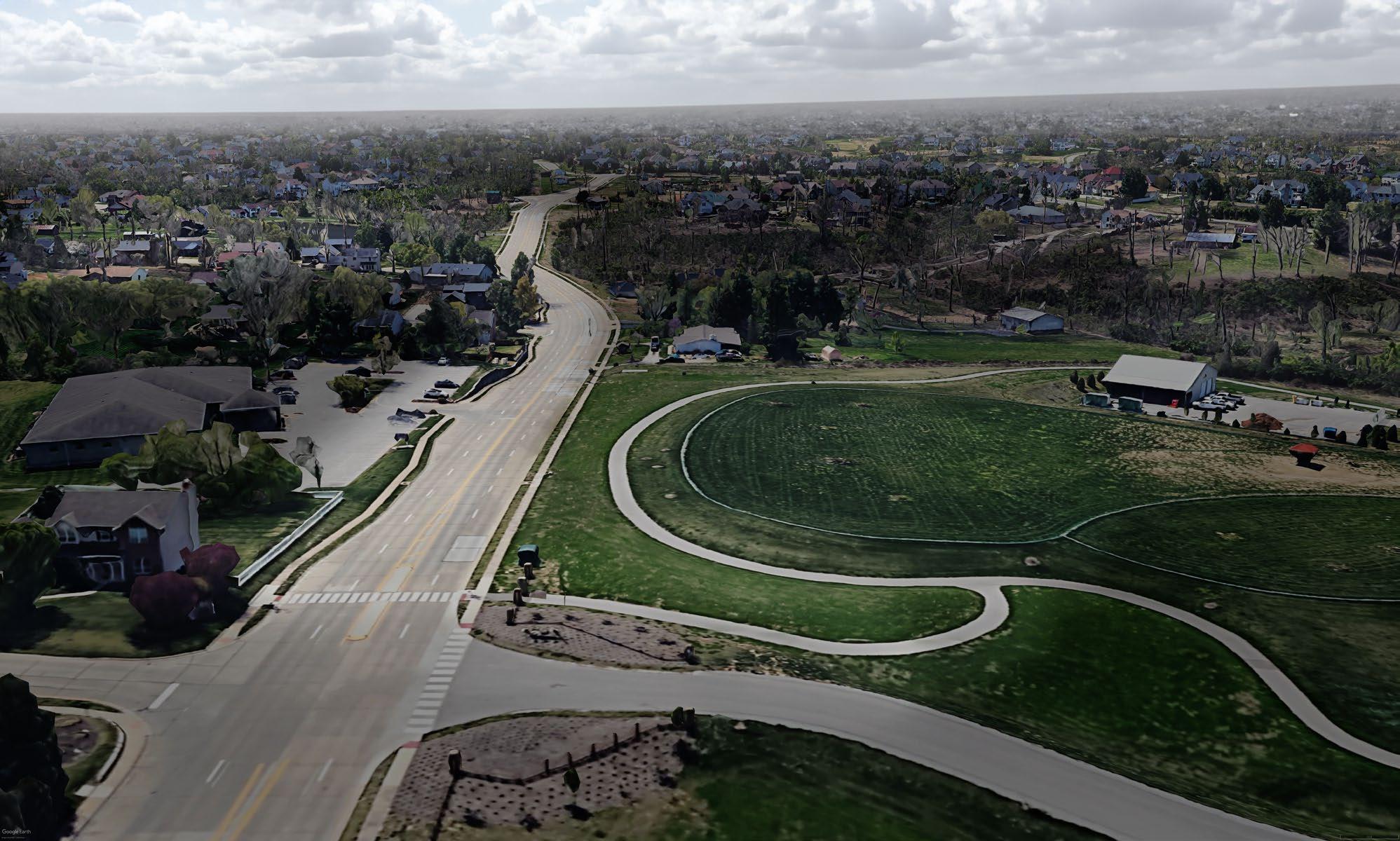
The recommended alignments shown below are a culmination of the planning effort in the study area. The process considered data collected, analysis completed, pros and cons developed, evaluations completed, and the significant input received from the public. The map shows the recommended alignments and highlights the experience type and the trail condition of the overall alignment. On the following pages, more detailed alignment maps highlighting aspects of the North, Middle and South alignments are included.
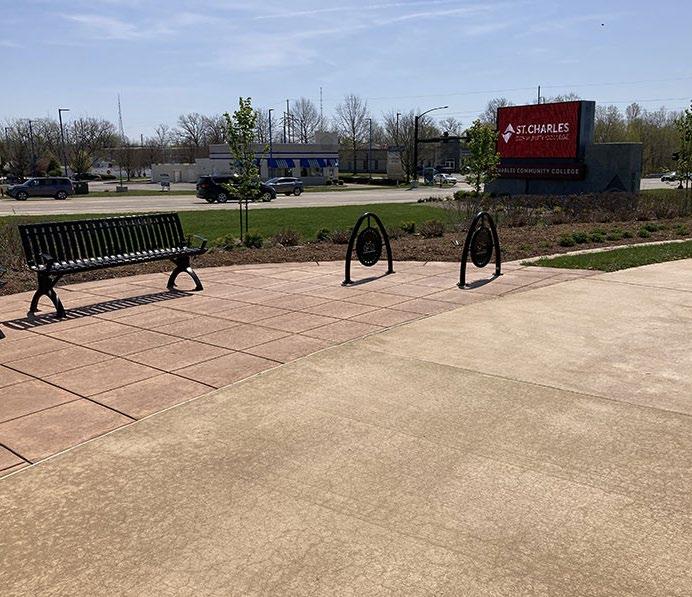
St. Charles Community College miles of greenway*
slope (Pitman Hill)
LEGEND
NORTH AREA
RECOMMENDATION
NORTH AREA
DARDENNE CREEK
DARDENNE GREENWAY
DYE CLUB DR
RECOMMENDATION MIDDLE AREA
LEGEND
Recommended Alignments
Alternative Alignment
Major Access Point
Access Point
Kisker Rd lane diet with new greenway multi-purpose trail
Utility relocates
Crossing at Bal Harbor Ct
Crossing at Briargate Dr
Potential retaining wall impacts
St Charles City-County Library
Midblock HAWK crossing of Kisker Rd
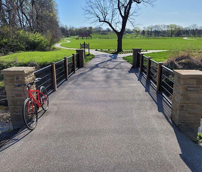
Veterans Tribute Park
Rebuild existing park trail to GRG standards
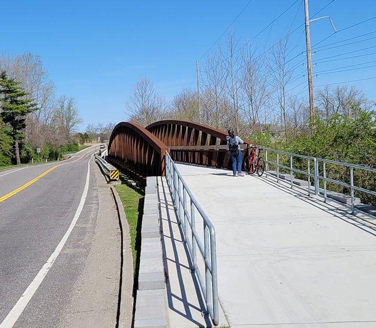
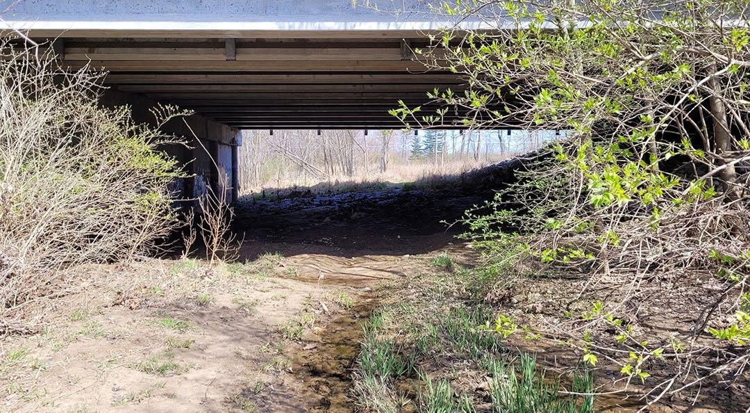
Upgrade (widen) bridge
Bridge crossing (use-in-place)
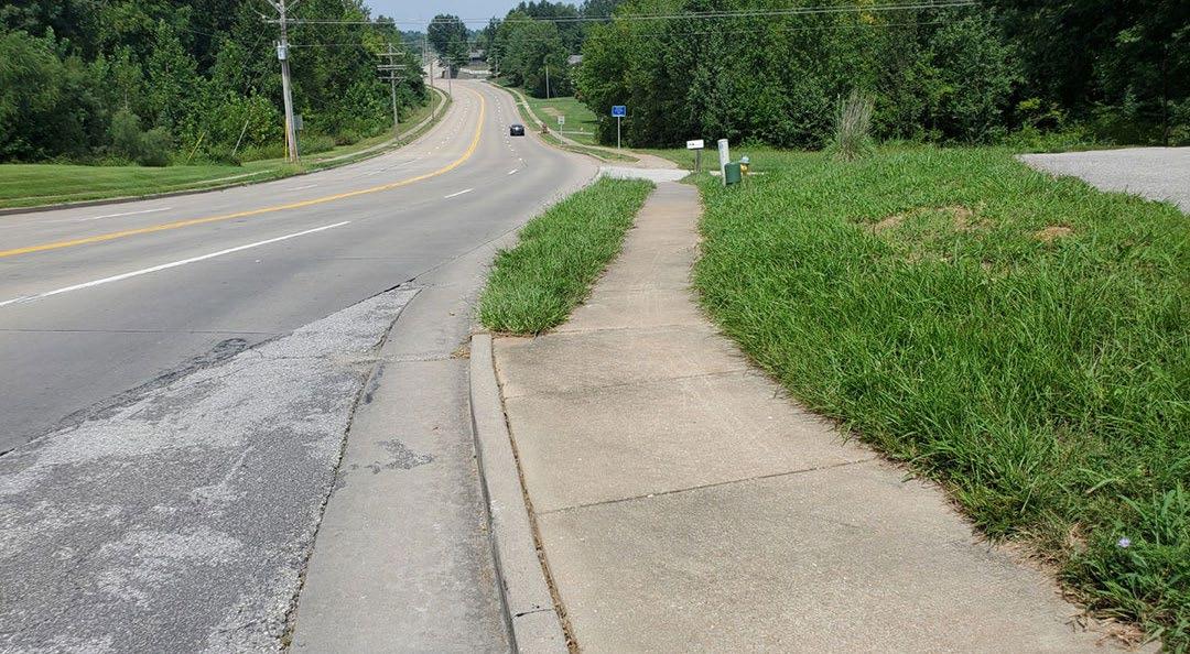
Upgrade trail to GRG standards
Replace sidewalk with multipurpose trail
Crossing at S St. Peters Pkwy / Intersection improvements
Use existing pavement
Crossing at N St Peters Pkwy / Intersection improvements
Pedestrian bridge
Potential road crossing (future)
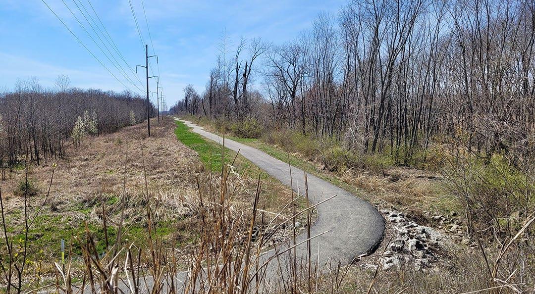
New off-road greenway pavement
Commercial district
Rebuild retaining wall
Crossing at Roseberry Topping Ct
Crossing at Towers Rd
Kisker
Baltic Creek
RECOMMENDATION MIDDLE AREA
CROSSWALK
RECOMMENDATION SOUTH AREA
LEGEND
Recommended Alignments
Alternative Alignment
Major Access Point
Minor Access Point
Destination
Improvement / Impacted Area
Potential trailhead
Culvert crossing
Replace sidewalk with multipurpose trail
Crossing at Wincliff Dr
Crossing at Georgian Oaks Dr
Rebuild retaining wall
Steep slopes (9-12%)
Crossing at Big Bluff Ct
Homes close to ROW (consider impacts)
Crossing at Seven Hills Ln
Utility pole relocations
Crossing at Napa Ln
Crossing at Loyd Ln
Multiple driveway crossings
Crossing at Hidden Spring Dr
Crossing at John Meyer Dr
Crossing at Jacobs Crossing Dr
Crossing at Jacobs Station Rd
St. Philippine Cemetery & Mausoleum
Crossing at Windam Pl Dr
Midblock crossing of Tower Rd
Crossing at Saratoga Heights
Crossing at Clover Valley Ln
Alternate route in right-of-way
Intersection improvements at Kisker Rd
Existing Katy Trail State Park trailhead
Crossing at Deer Valley Ln
Crossing at Pitman Trails Ln
Crossing at Windcastle Dr
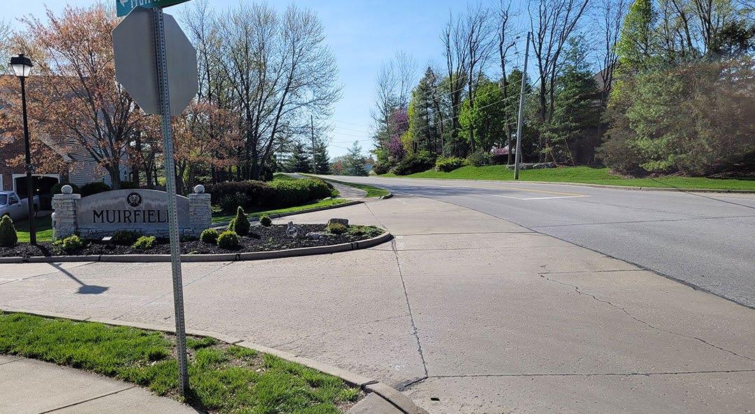
Crossing at Muirfield Dr
RECOMMENDATION SOUTH AREA [CAULKS HILL]
CAULKS
STEEP SLOPE AT CAULKS HILL
RECOMMENDATION SOUTH AREA [PITMAN HILL]
MUIRFIELD DR AT PITMAN HILL
KATY TRAIL STATE PARK RIGHT-OF-WAY
PITMAN HILL AT KATY TRAIL
STEEP SLOPE ON PITMAN HILL
PITMAN HILL NEAR CROSSHAVEN DR
KATY TRAIL STATE PARK
STEEP SLOPE
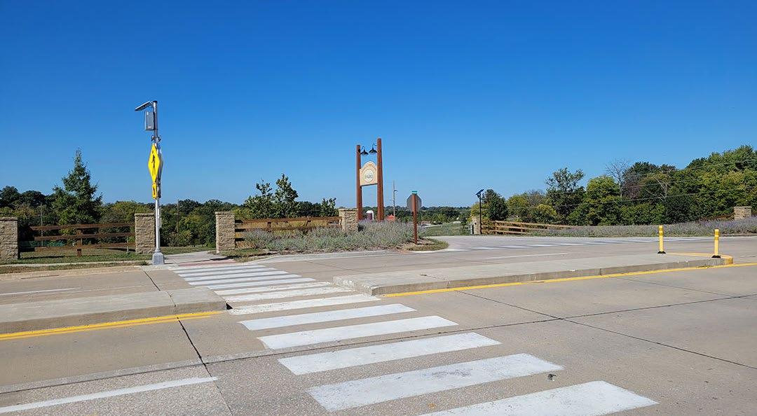
RECOMMENDATION GREENWAY TYPOLOGIES
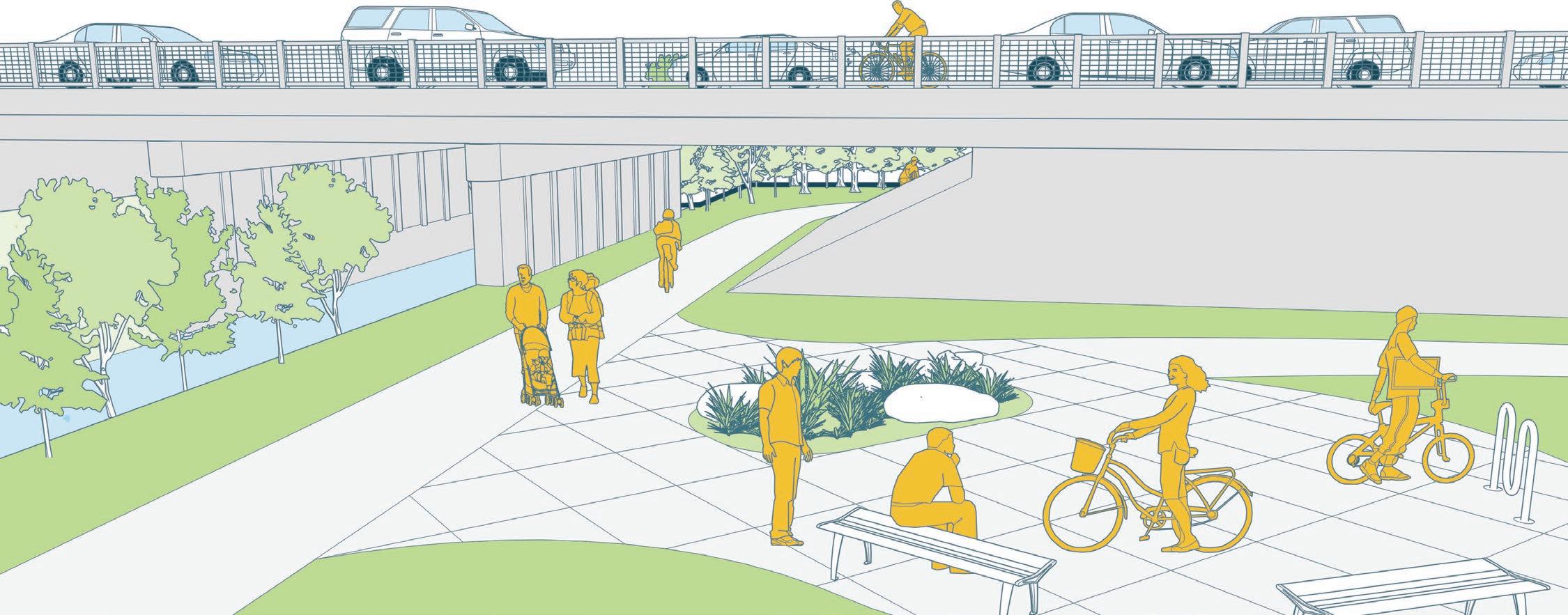
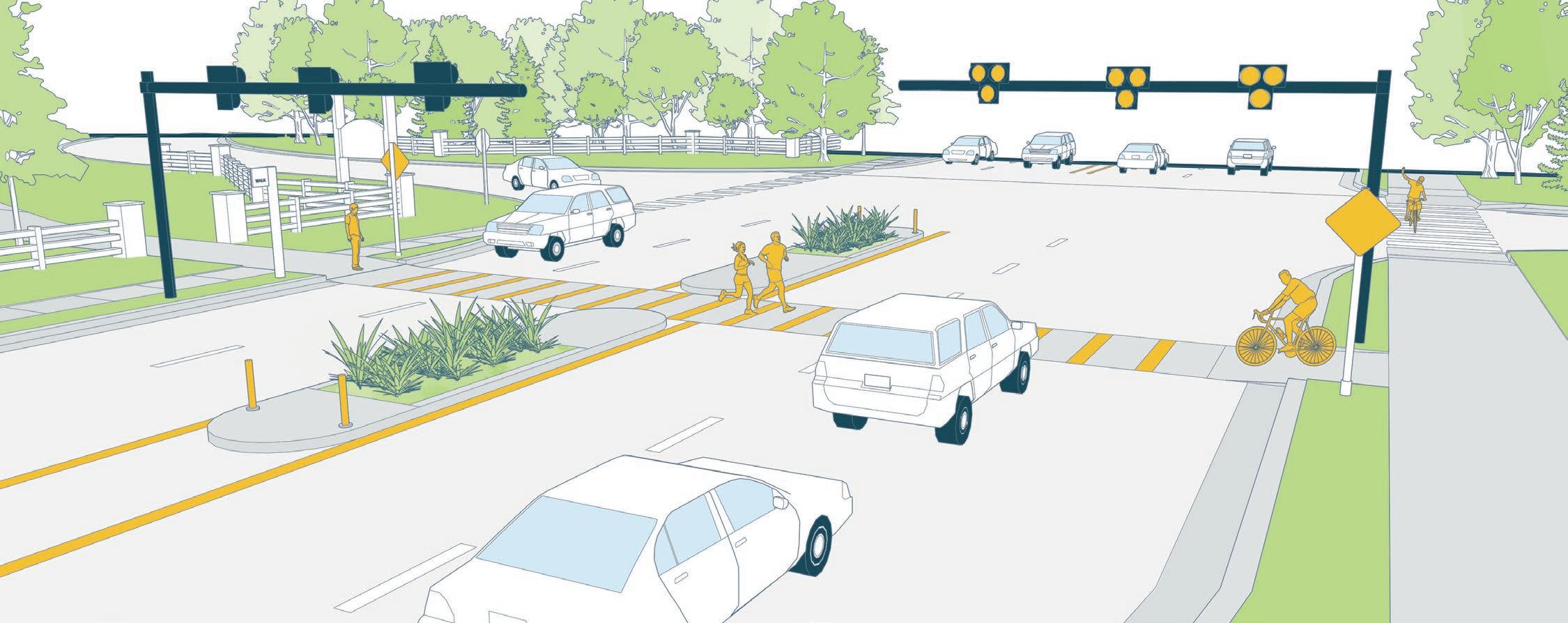
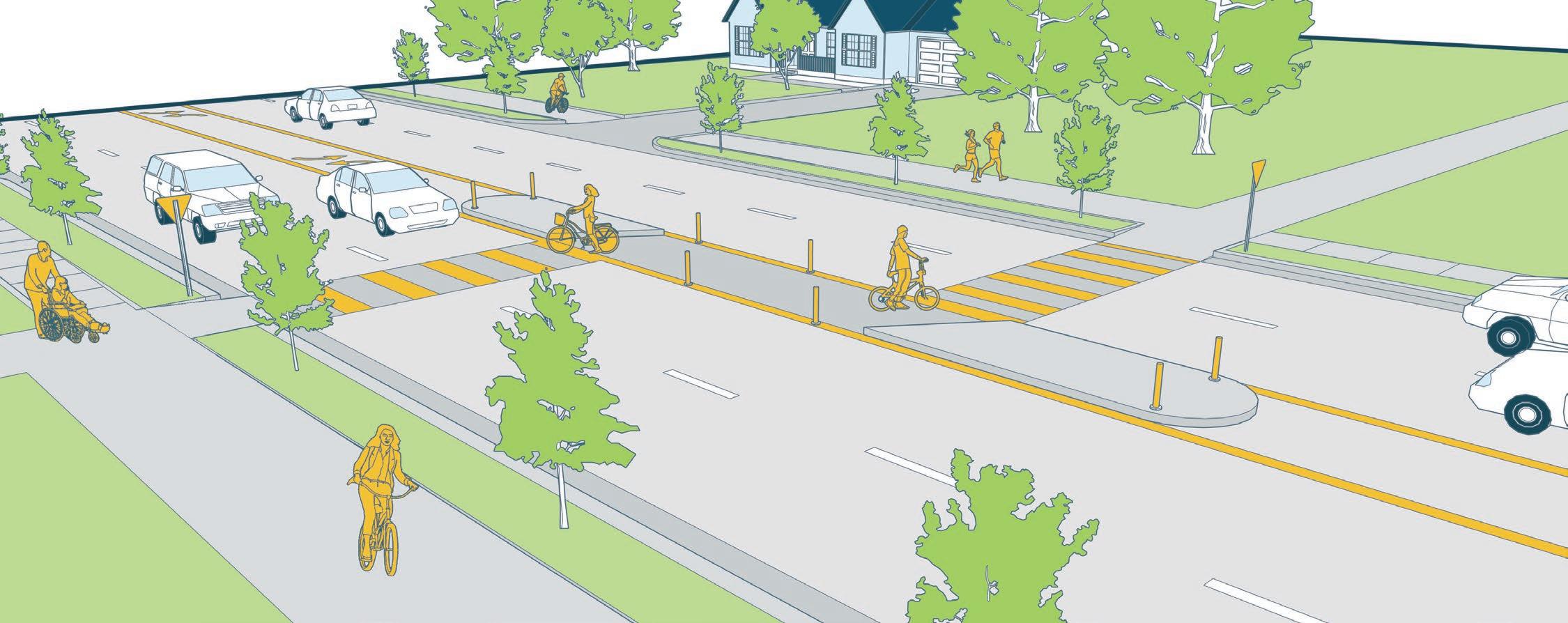
The following illustrations demonstrate how different pedestrian safety features could be implemented along the Baltic Creek Greenway. There are three categories of road treatment represented. The pedestrian underpass, which separates a pedestrian route from a roadway by grade and will allow for the continuous flow of cyclist traffic along the greenway. The High Intensity Activated Crosswalk (HAWK), a crosswalk effective even on streets with multiple lanes and high speeds that allows pedestrians to activate lights signaling their intent to cross the road. Finally, the staggered midblock crosswalk, which encourages pedestrians to check oncoming traffic from the safety of a median at the midpoint of the crosswalk.
RECOMMENDATION GREENWAY TYPOLOGIES
STAGGERED MIDBLOCK CROSSWALK - TOWERS RD (SOUTH AREA)
PHASING AND COST SUMMARY
Great Rivers Greenway and the project partners concluded that the northern area should be prioritized as the first phase of implementation of Baltic Creek Greenway. That alignment connects existing trail infrastructure on both ends. When that section is implemented, it will connect the Dardenne Greenway to a multi-purpose trail leading to Veteran’s Tribute Park.
An order of magnitude implementation cost summary was developed for each of the recommended alignments based upon a process where segments of the various alignments were assigned a complexity level (low, med, high). For example, low complexity would be an off-road greenway and a high complexity greenway would be a road adjacent with major impacts to existing roadway utilities. Other cost items that were factored into the costs was the potential need for structures such as bridges and large retaining walls. Another category included in the cost summary was overhead and contingency. Cost summaries (in 2023 dollars) for each alignment are included. A detailed breakdown of the costs can be found in the appendix.
1 - NORTH AREA
NEXT STEPS
The Baltic Creek Greenway master plan identifies multiple alignment opportunities that provide a means to connect greenway users to outstanding destinations from the Dardenne Greenway to Veterans Tribute Park to the Katy Trail State Park. The next step in the Baltic Creek Greenway process is for Great Rivers Greenway, St. Charles County, and the project partners to formally adopt the master plan. This step will validate the plan, promote plan recommendations in further studies, support future grant funding opportunities and facilitate plan implementation through future capital investment budgets.
The northern area alignment is recommended as the highest priority phase for implementing the Baltic Creek Greenway. While this alignment is mostly within a utility corridor, intersections and roadway crossings will require further studies to determine feasibility, crossing alternatives, safety, and potential costs to implement. The next and most critical effort in making the northern area alignment a reality is working towards gaining the necessary easements with property owners, public agencies and utility companies.
Project partners can continue to build community support and enthusiasm for the master plan and work with Great Rivers Greenway to prioritize future Baltic Creek Greenway implementation. Through leveraging partnerships among all stakeholders the greenway can become a reality.
APPENDICES
• Appendix A - Detailed Cost Summary
• Appendix B - On-line Survey Results Data
• Appendix C - Project Partner & Committee Meeting PowerPoints
• Appendix D - Existing Condition Report (December 2022)