SKI TOURING


21 classic ski tours

Briançon, Écrins & Queyras


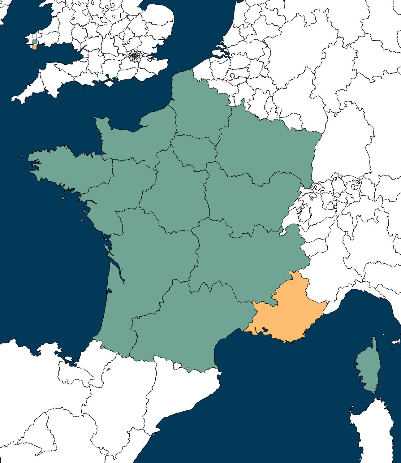
This guide was put together to give you an idea of what the area has to offer for ski touring. Covering 3 mountain ranges with many valleys and thousands of routes, it's a snapshot of what's on offer. It focuses on day tours but there are many options for hut to hut tours as well.
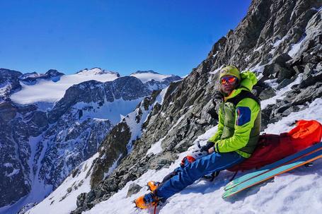
It's been designed for those already competent in ski touring, offering photos, descriptions and stats. Plus links to the routes on fatmap.com where you can see the route in 3d, on maps and collect the GPX plus lots more amazing features. Whether this area is old or new to you, I hope you enjoy it and feel free to share your adventures or ask questions on the Écrins Collective Facebook group.
Ski mountaineering -


Steep lines that may need mountaineering equipment and skills, where a fall could be very dangerous.
Splitboarder -
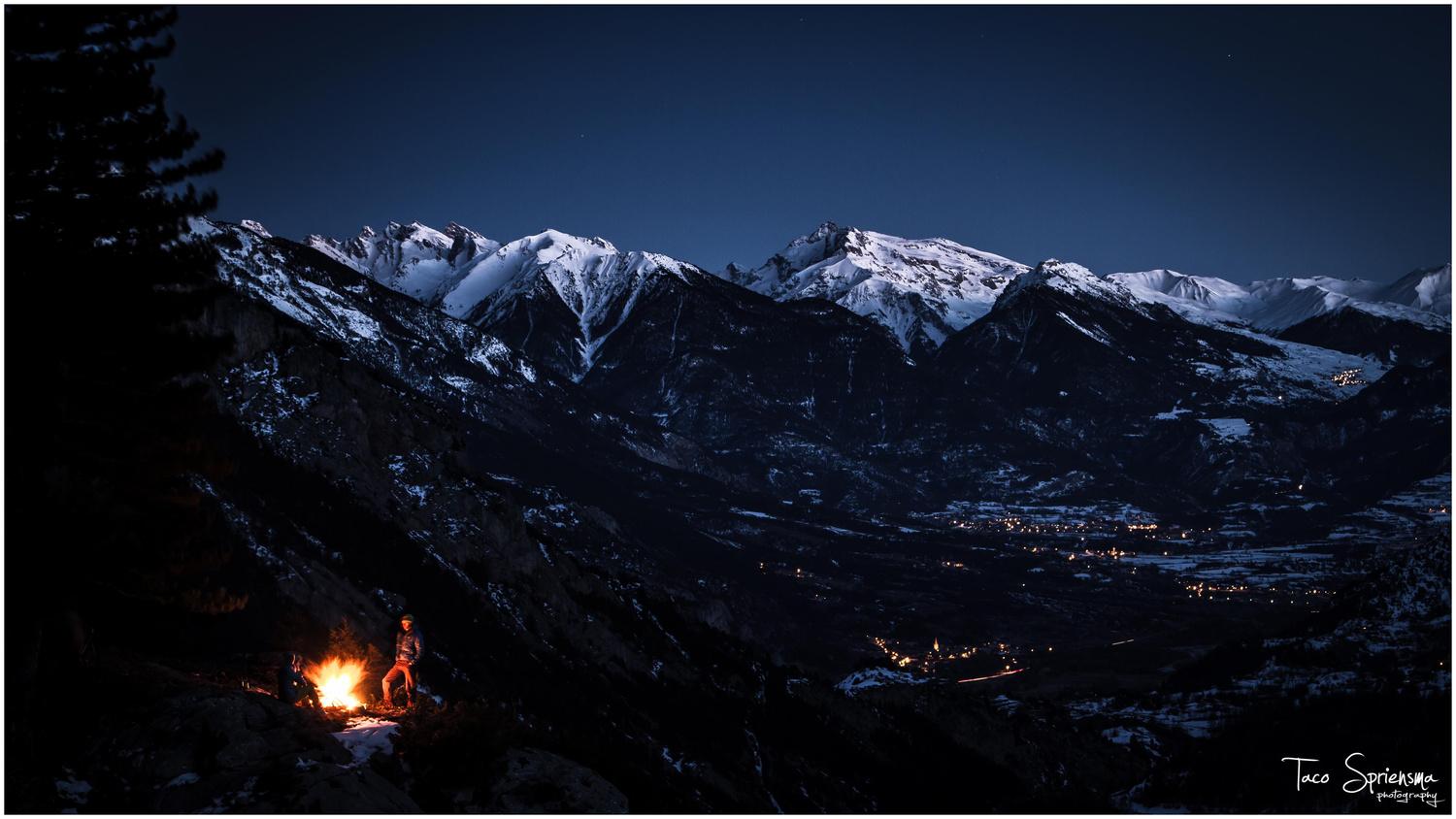
Route recommended by local split-boarder and photographer Taco Spriensma as being an option for split boarders.
Disclaimer
Ski touring and mountaineering have inherent dangers. Users of this guidebook should have full understanding of the risks involved, the skills to be independent in their planning and able to keep themselves safe in the mountains. This guidebook is a collection of routes compiled in good faith; the author cannot accept any responsibility for any errors in it or for users out in the mountains. You must rely on your own judgment.
Credits -
Author - Rob Benton lives full time in the Écrins. He is a rock climbing instructor and coach, a walking leader and kayak guide. He spends most of his winters ski touring.
Photos are by the author or by the kind contribution of :
Taco Spriensma
Rich Lade
Chris Peacocke
Vincent Rey


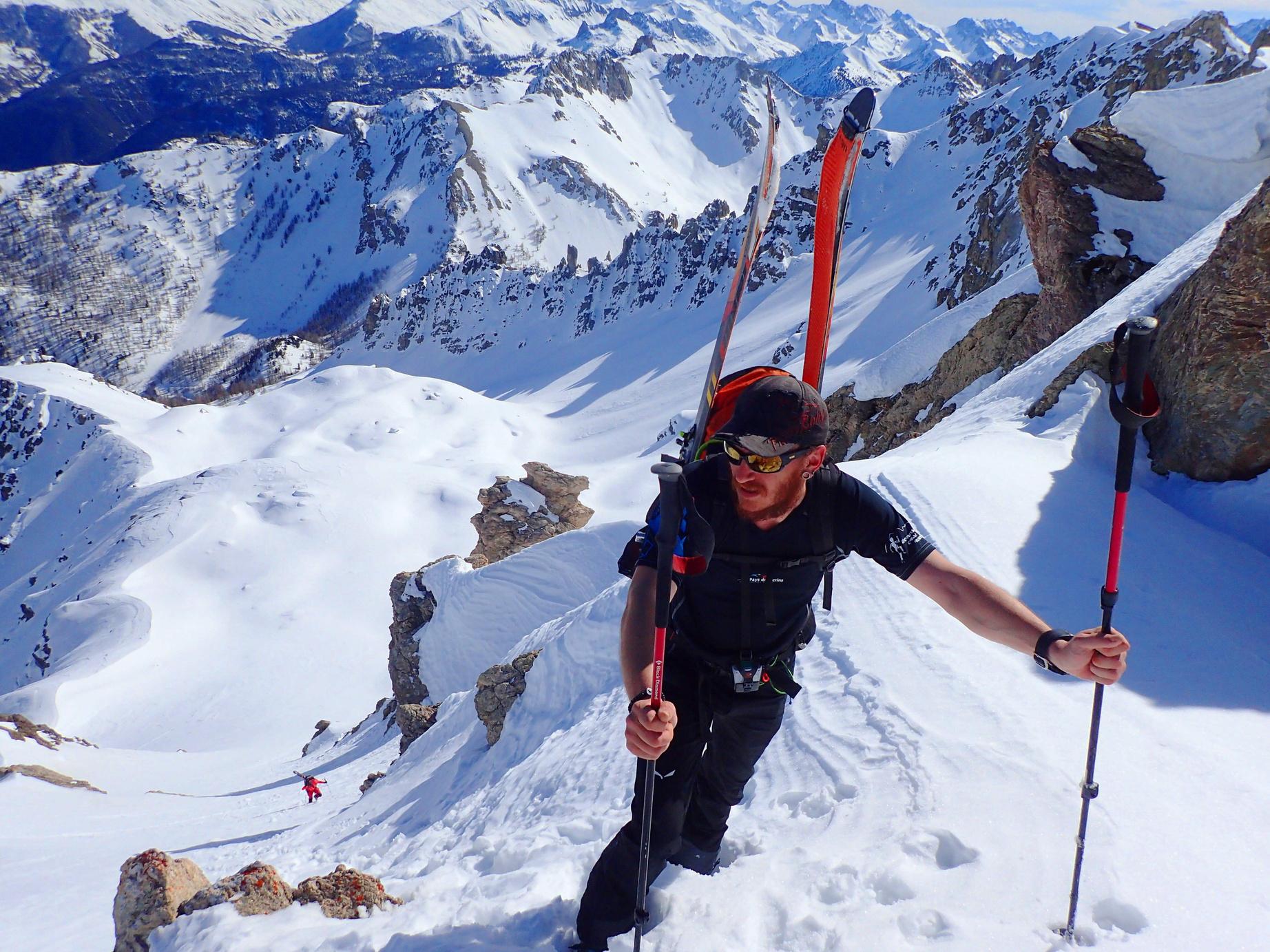







The Hautes Alpes is one of the best adventure sports playgrounds in Europe,
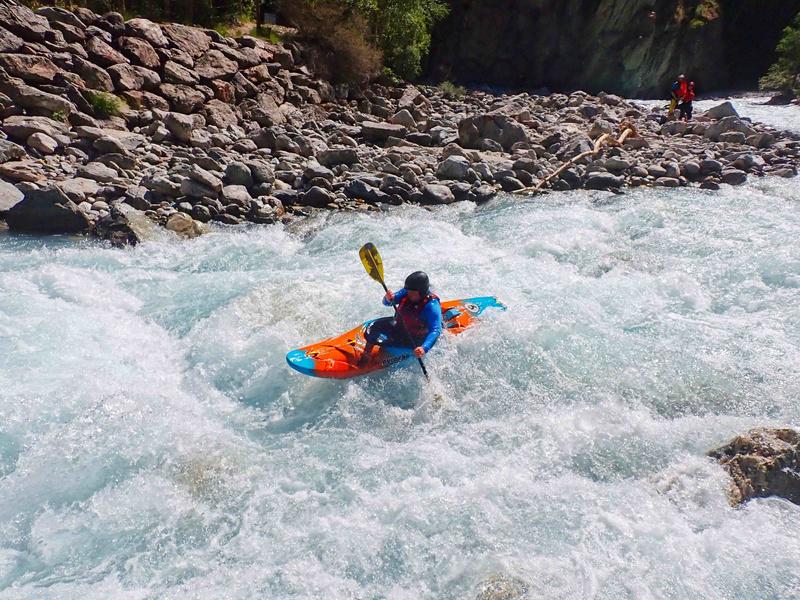
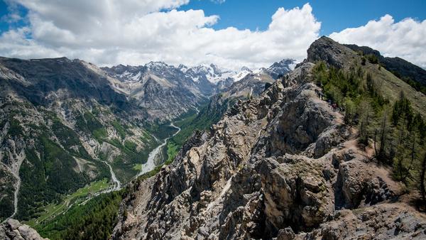
The area is a mecca for rock climbing with over 3000 routes across 6 different rock types, offering multi pitch, single pitch and bouldering. It has some of the best white water in France, more walking and biking than could be done in a lifetime, plus 27 via ferrata.
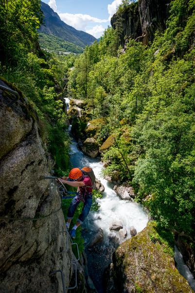
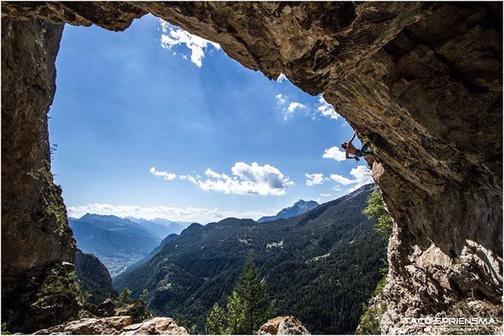
In the winter there is a huge amount of ice climbing, ski touring, piste skiing, snowshoeing & ski de fond

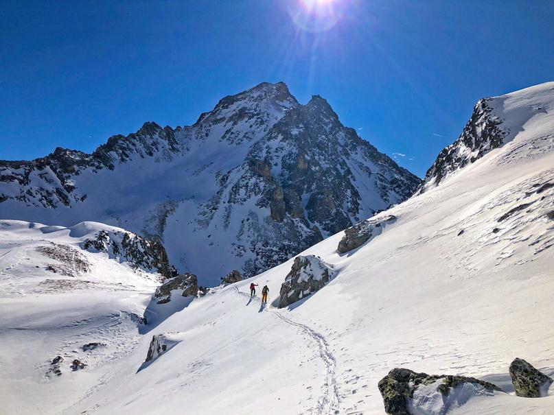
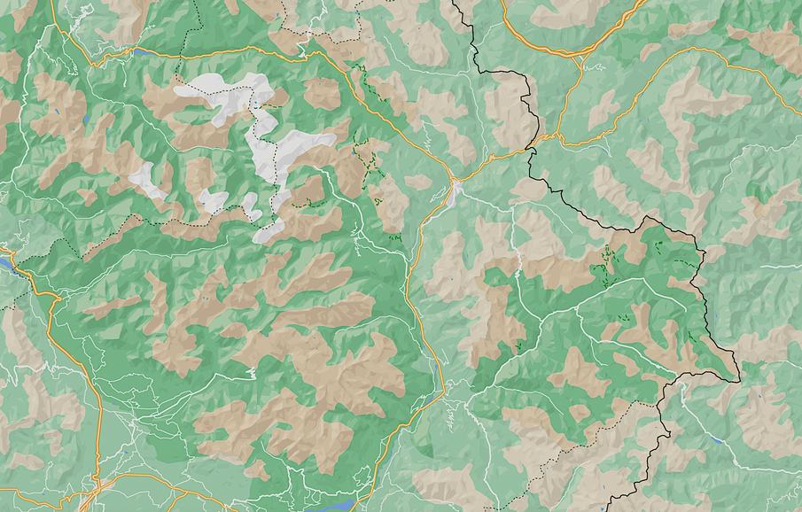
This guide covers three mountain ranges, the Eastern edge of the Écrins National Park, the Queyras Regional Park and the Massif des Cerces. Each individually has plenty of ski tours to last a lifetime, but combined it is a super area. It is possible to ski all areas in one trip if you're happy with an hour or so drive. For this guide the areas have been split up by access location rather than geographical location e.g routes in the Northern Queyras are in the Briançon section, as you can only access them by road from Briançon.
France
Briançon
Airports and rough transfer times to L'Argentière-la-Bessée
Turin - 2H15
Grenoble - 2H45
Marseilles - 2H50
Lyon - 3H10
Milan - 3H15
Geneva 3H30
There is an overnight train from Paris, to stations at Guillestre, L'Argentière-la-Bessée & Briançon
To get the most out of a ski touring trip, a car is currently needed Driving to the venue is easy with French toll roads for most of the way All Airports do hire cars and car hire can be arranged in Briançon
Or if you are feeling strong you could hire an E-bike for your trip
Massif des Cerces
2
Ecrins
National Park
L'Argentière-la-Bessée
Queyras Regional Park
3

Italy
Serre Chevalier Montgenèvre
Puy Saint Vincent
Pelvoux

La Grave Vars
Risoul St Véran
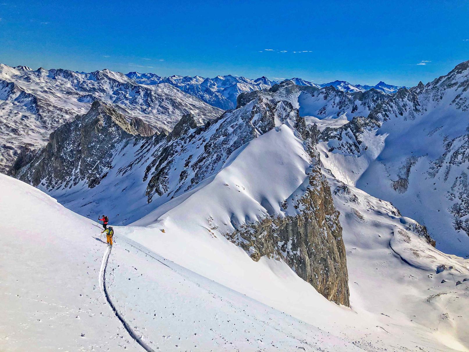


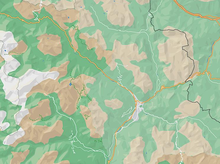

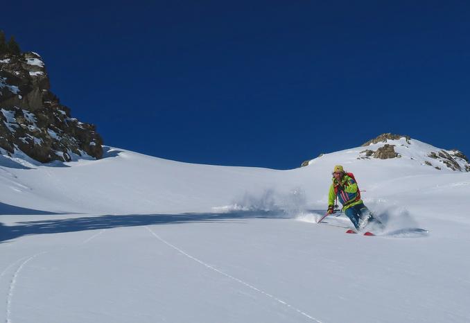
It has a little bit of everything: trees, open faces and there are a few gullies on the descent if you explore. A great intermediate trip.
Arrive at the parking and continue on foot into the old village In the village go south to a small road on a bridge Cross it and follow the track west for a short distance, then turn south and start to climb up through the trees following the summer footpath (roughly). Keep an eye out for the open gaps and gullies in the trees as you will be skiing back down this way. Keep climbing until it starts to level off and the angle gets easier. Follow the stream until the trees start to thin out You will see a big rock sat in the middle of the valley floor; head to the left of it and then climb the west facing slopes behind it. From here head towards the Lac de Cristol Pass by the northern end of the lac and you will see a face open up that leads west up to the summit, spot height of 2576m From here return by the route of ascent.
Route stats
Ascent - 970m
Descent - 970m
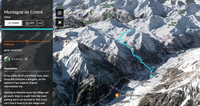
High point 2576m
Low point 1590m
Distance 10k
Angle 33°

Aspect all
(Blue IGN) 3535 OT & 3536 OT
https://fatmap.com/routeid/3095944/montagne-de-cristol
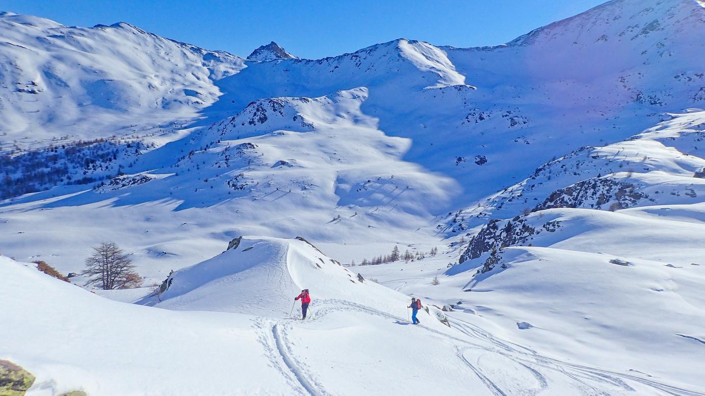
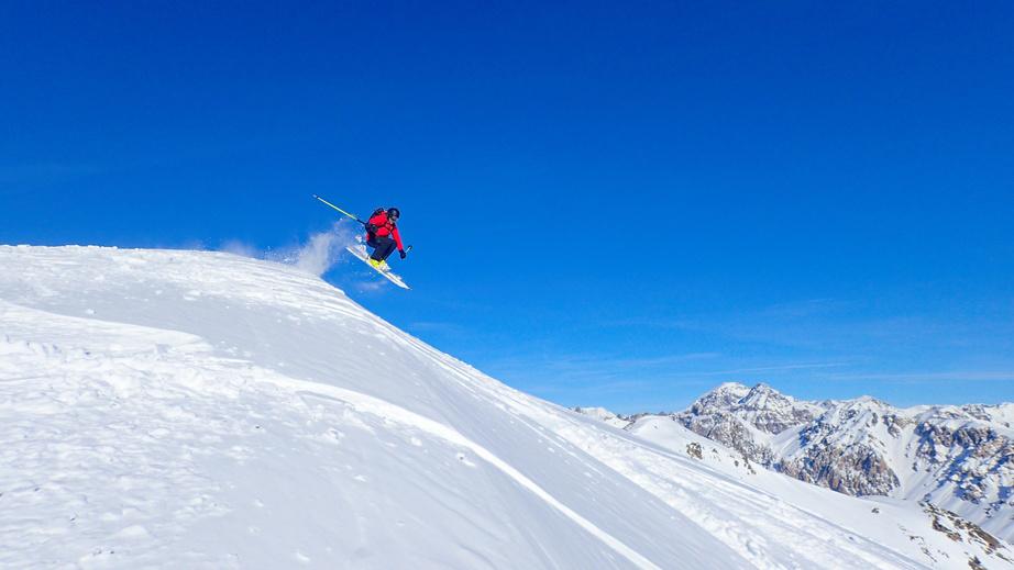

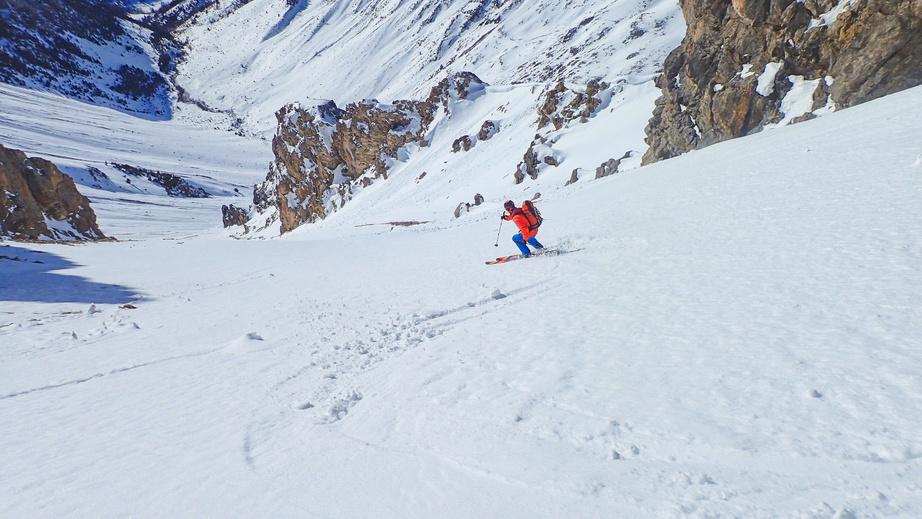
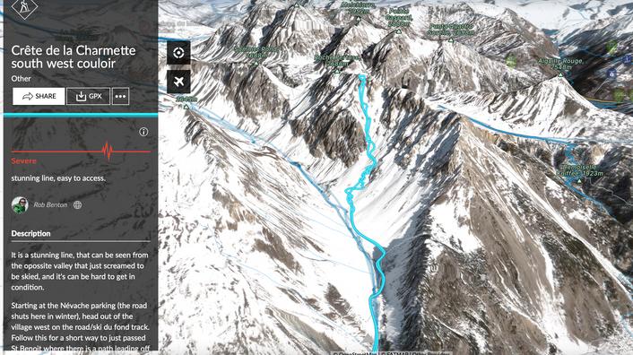
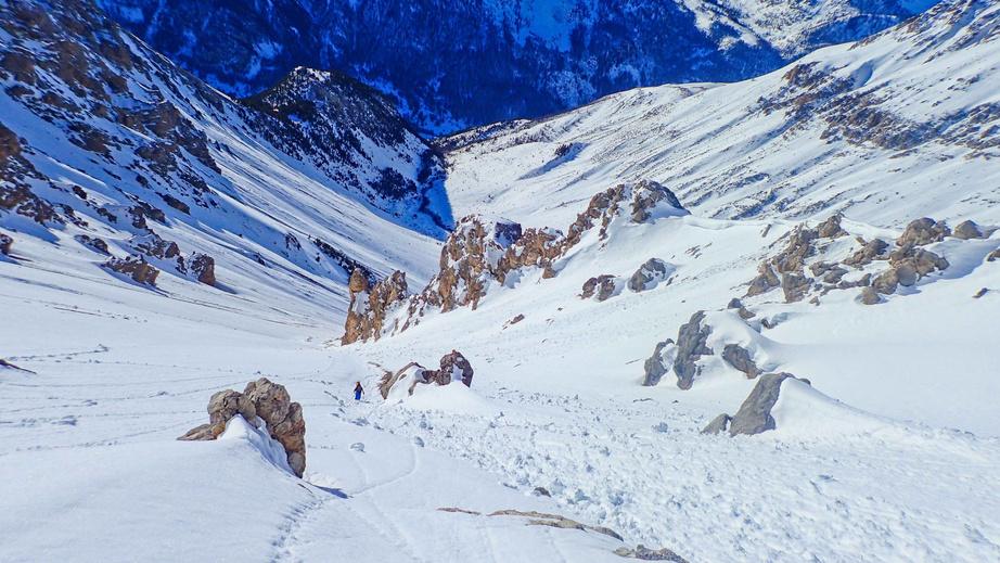
A stunning line, visible from the opposite valley, that just screamed to be skied, but it can be hard to get in condition.

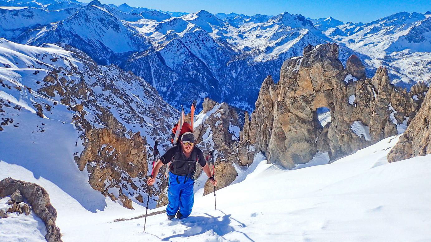
Starting from the Névache parking (the road shuts here in winter), head west out of the village on the road/ski de fond track Follow this for a short way to just past St Benoit where there is a path leading off north to the Chalets du Vallon. Follow this path, steep and very often lacking in snow. It leads you up into the higher valley. As the valley sides widen out and you can see your line on the right cross the river and head towards it. Once you access the couloir climb it to the top, keeping your eyes open near the top for the cool keyhole in the rock wall Descend the couloir to the valley floor and then the tight path back to the ski de fond track and the parking
Route stats
Ascent - 1064m

Descent - 1064m
High point 2680m
Low point 1593m
Distance 11.2k
Angle 35° pass 40°
Aspect SE
(Blue IGN) 3535 OT
https://fatmap.com/routeid/3095943/crete-de-la-charmette-south-west-couloir
A beautiful line! Quick & easy access and steep skiing - what more could you want!
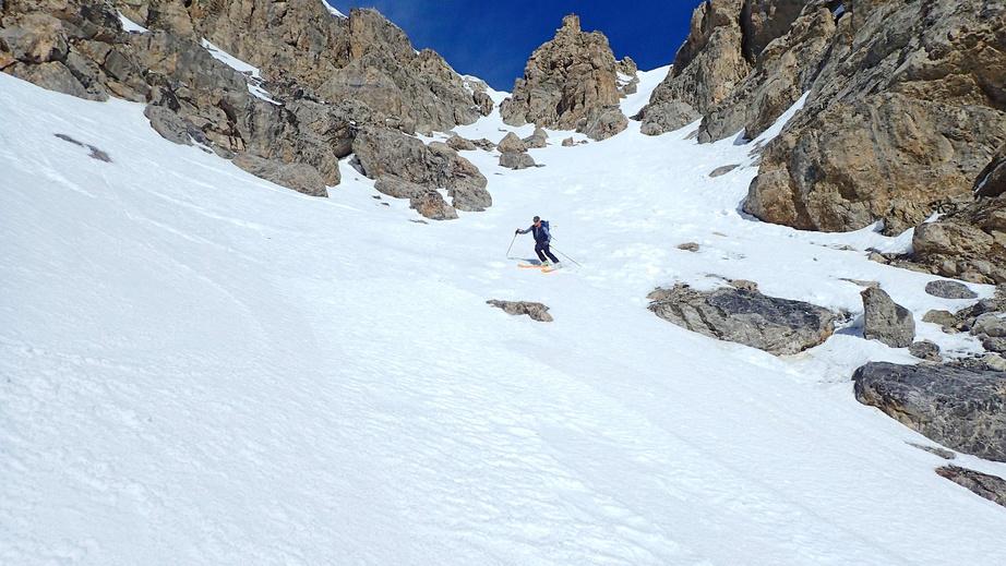
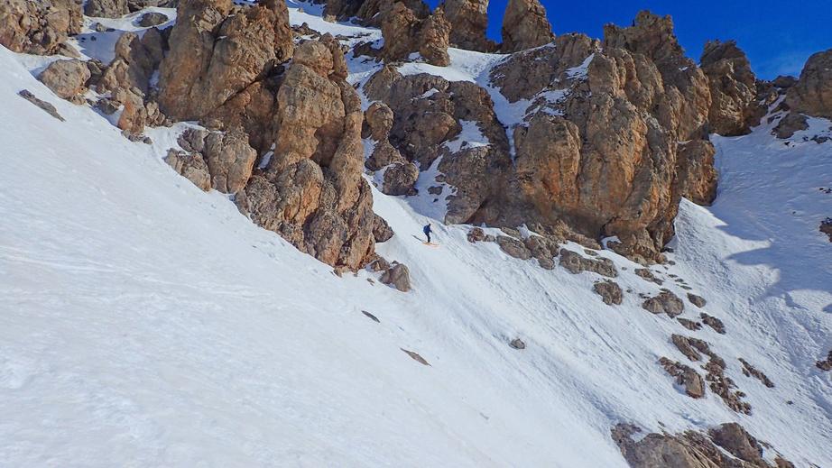
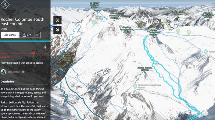
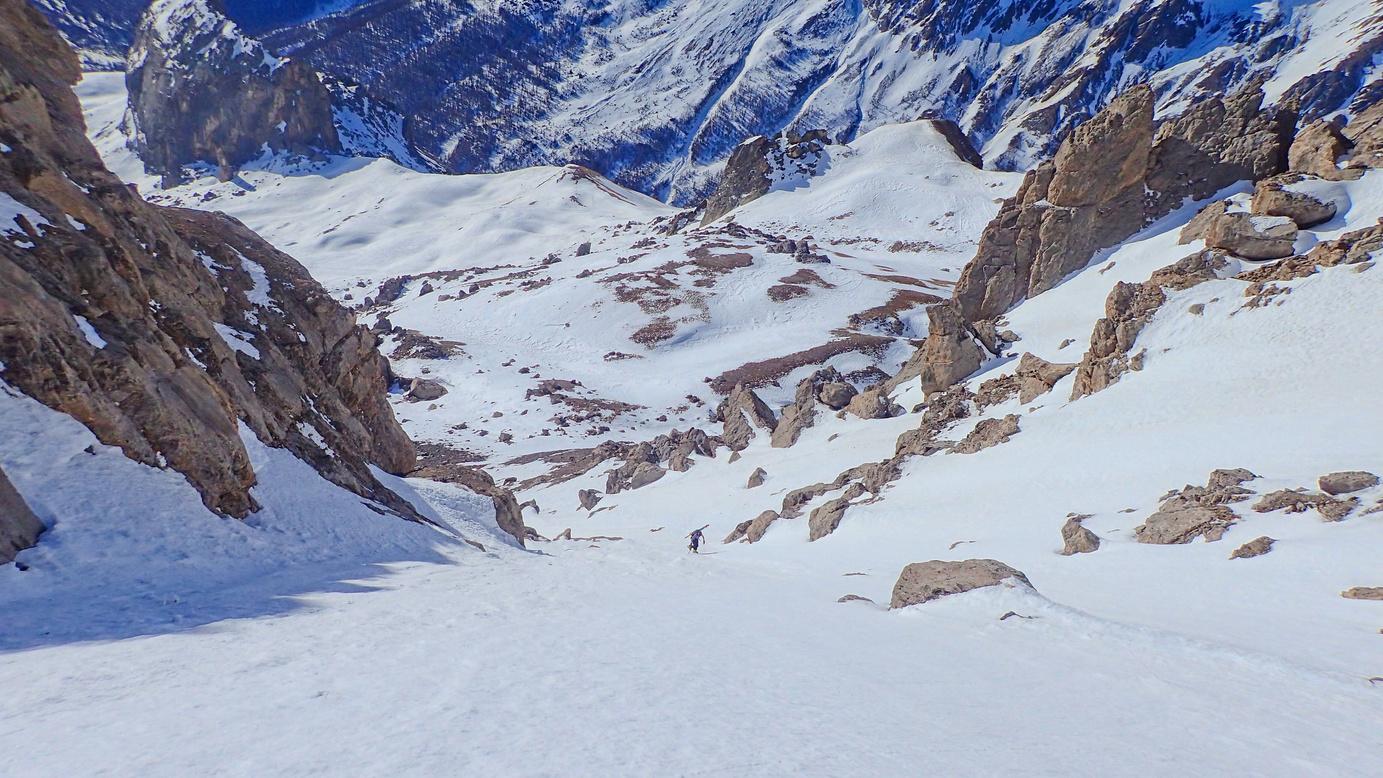
Park at Le Pont de l'Alpe Follow the obvious path past the waterfall that leads up to the higher valley As the valley opens up you see the small commune of L’Alpe du Lauzet (great via ferrata here in summer). On a good snow year you just see the roofs of the buildings. At the buildings turn north and cross a bridge and follow the Torrent du Plan Chevalier You should see the Rocher Colombe in front of you. The line goes to the left of the main rock face Follow the valley floor and then start to climb westwards towards the line Once it starts to steepen it’s normally easier to boot up. It passes a few narrow gaps to the final head wall which is steep This leads to the top which is a small col Now just enjoy the great ski back down
https://fatmap.com/routeid/3095938/rocher-colombe-south-east-couloir

Route stats
Ascent - 1033m
Descent - 1033m
High point 2731m
Low point 1713m
Distance 10.8k
Angle 45°

Aspect SE
(Blue IGN) 3535 OT


A big day - perfect for those still new to touring, with lots of skiing and a refuge to get a drink in on the way down.
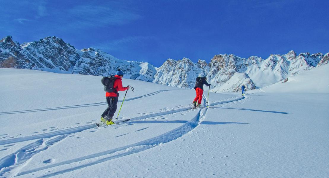

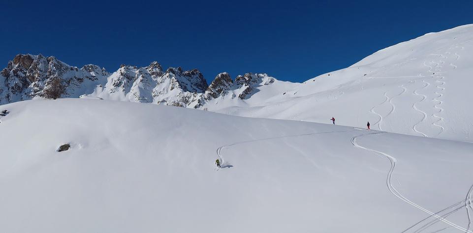
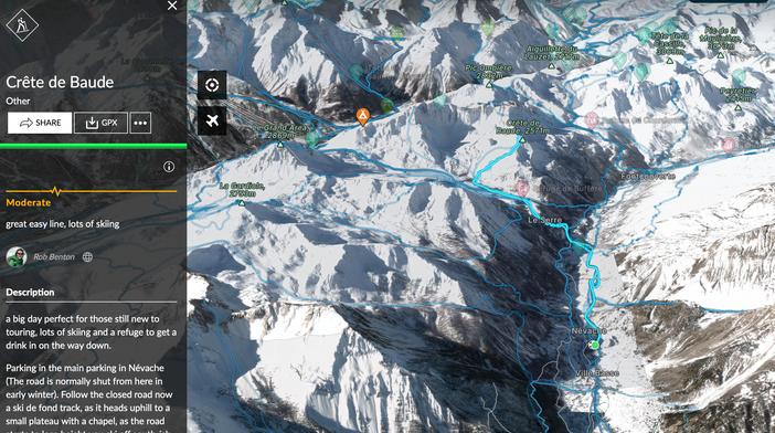
Park in the main parking in Névache (The road is normally shut from here in early winter) Follow the closed road now a ski de fond track, as it heads uphill to a small plateau with a chapel. As the road starts to lose height descend roughly south to the bridge at 1749m. Follow the tracked path up to the Chalets du Buffère Head along the GR57 a short way and then bear west towards the 2170m point. From here head NW up the easier angled slopes to the Crête de Baude
The descent follow the route of ascent. There is plenty of space on the face to get your own tracks If the refuge is open, why not relax and enjoy a drink before heading back to the trees? Follow the narrow path or (better) ski the trees just next to the path
Route stats
Ascent - 971m
Descent - 971m
High point 2571m
Low point 1600m
Distance 12k
Angle 30°

Aspect South
(Blue IGN) 3535 OT


https://fatmap.com/routeid/3095934/crete-de-baude

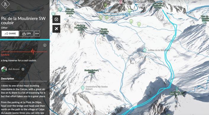
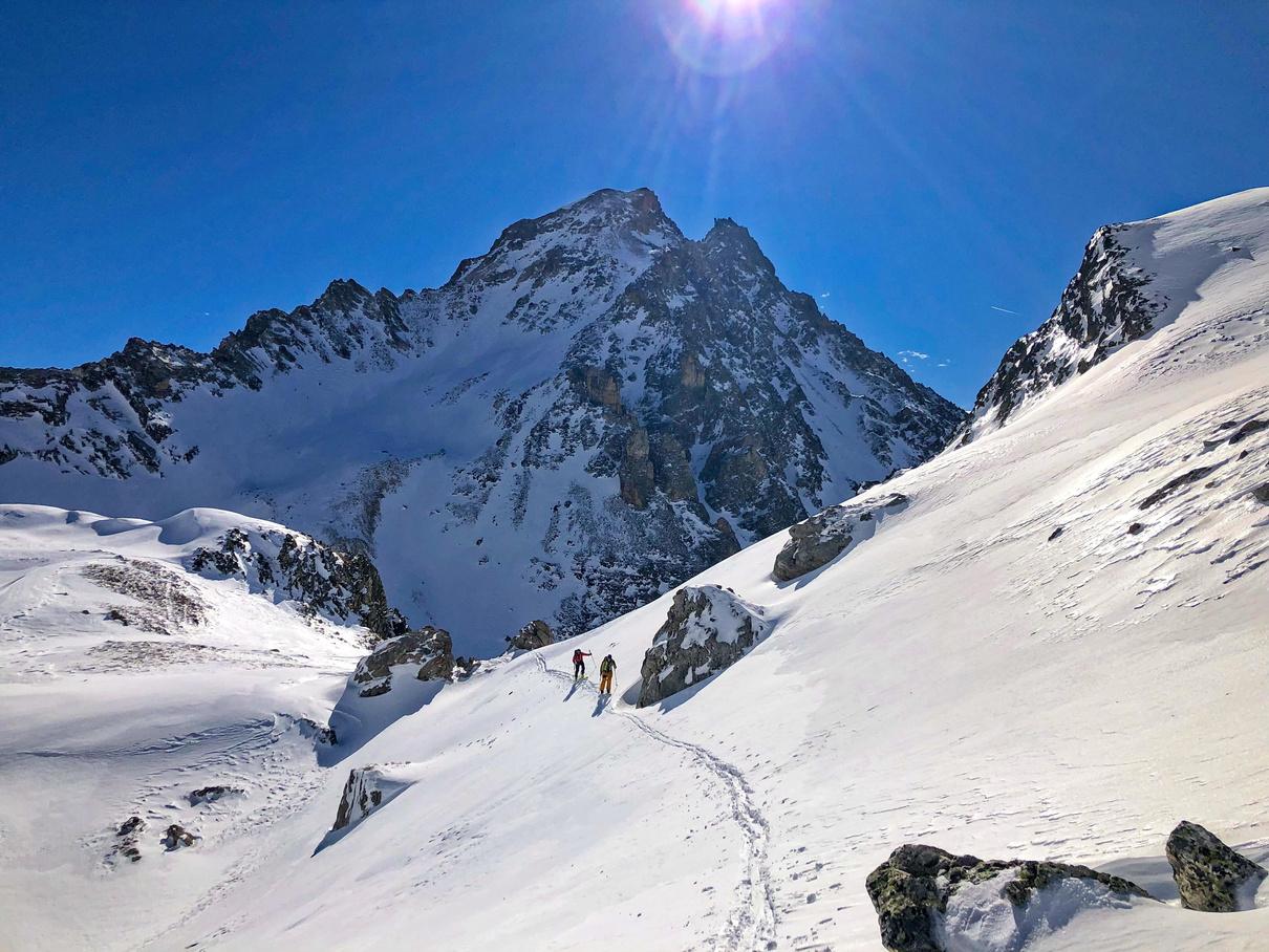
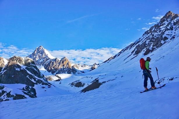
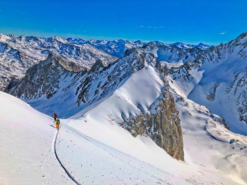
One of the most stunning mountains in the Cerces, with a great ski line. There is a lot of traversing, but that effort is worthwhile.
From the parking follow the path to the village of L’Alpe du Lauzet (sometimes you can only see the roofs of the buildings in winter). From there climb east up the steep slope. At the top of this head north into the Torrent du Rif valley
You can stay high on the right-hand slope or drop into the valley and skin up that. From the 2603m spot height make your way up and behind some rocks and into the couloir. From here climb to the top. Descend the couloir and then back in to the Rif valley Now comes the balancing act of getting back across the traverse without having to put skins back on. Then back down to the parking.
https://fatmap.com/routeid/3095931/pic-de-la-mouliniere-sw-couloir
Route stats
Ascent - 1219m

Descent - 1219m
High point 3073m
Low point 1951m
Distance 15k
Angle 43°

Aspect SE
(Blue IGN) 3436 ET & 3535 OT
A big tick on any steep skier's radar; a 1000m couloir that just keeps giving. Just make sure you leave something in the legs for the descent.
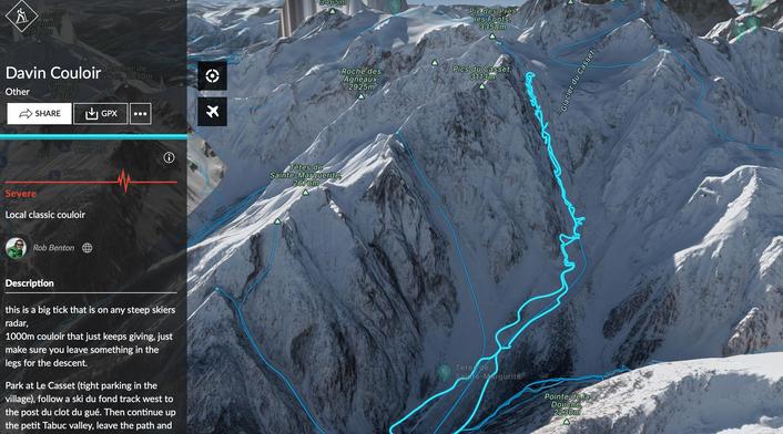
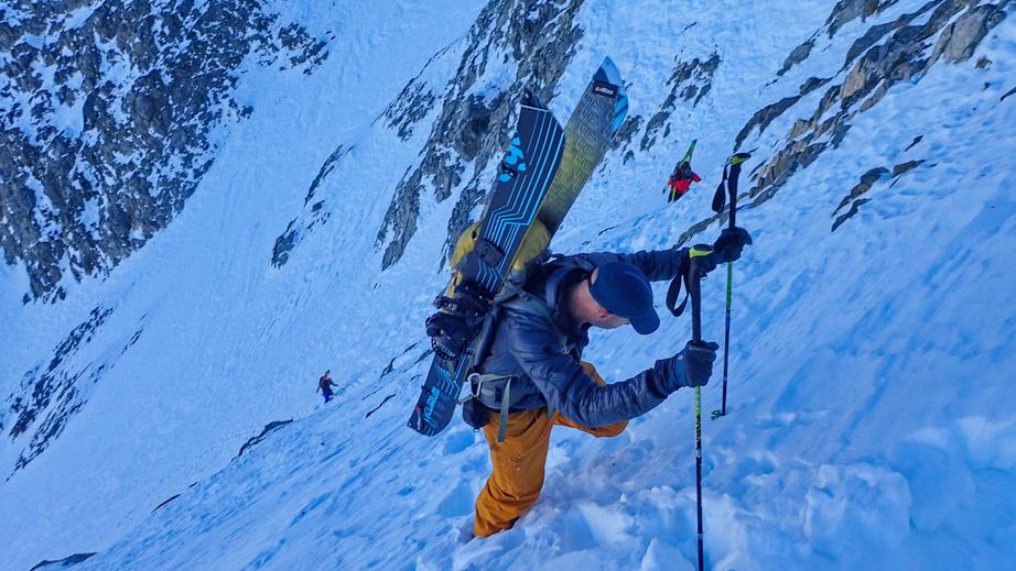
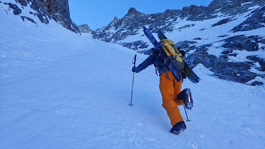
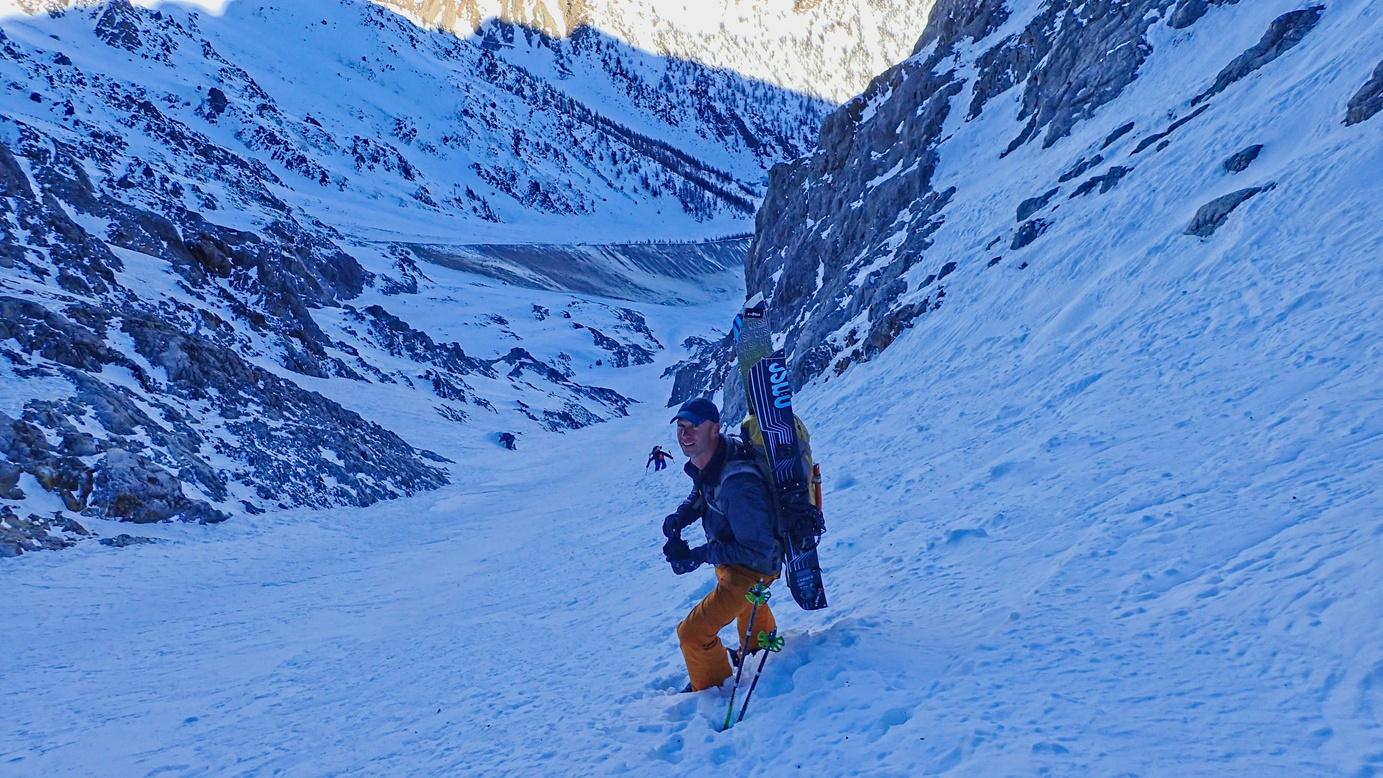
Park at Le Casset (tight parking in the village) Follow a ski de fond track west to the Pont du Clot du Gué. Then continue up the Petit Tabuc valley. Leave the path and cross over to the Torrent du Glacier de Casset Follow the bowl up the torrent as far as you can, passing the Petit Davin couloir. At the end of the bowl you will see the couloir on your left. Climb the couloir, which just keeps going As you near the top the line splits Climb left to access the glacier, or climb right to stay on the classic line of the Davin. The last section is steep and in the rocks so care is needed The top gives you amazing views down onto the Glacier du Casset.
Now comes the fun part if your legs are up for it Ski the couloir and then back to the parking.
https://fatmap.com/routeid/3095926/davin-couloir

Route stats
Ascent - 1650m
Descent - 1650m
High point 3100m
Low point 1500m
Distance 18k

Angle 45° - 40°
Aspect North (Blue IGN) 3436 ET


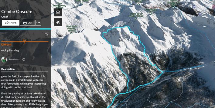
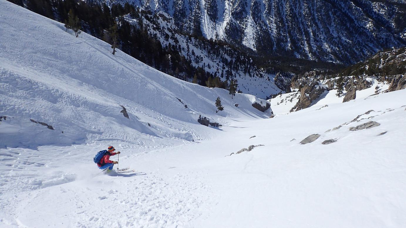
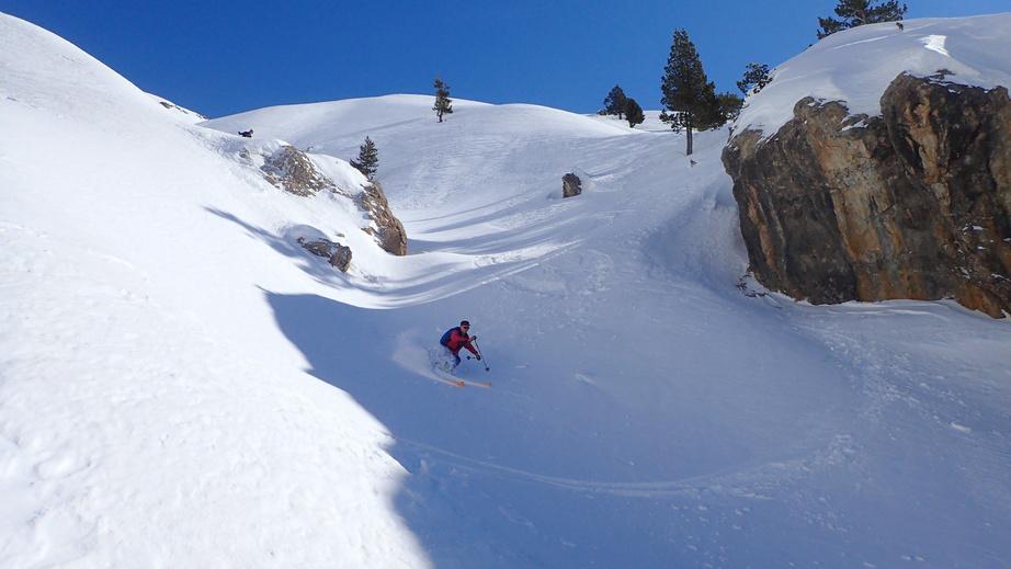
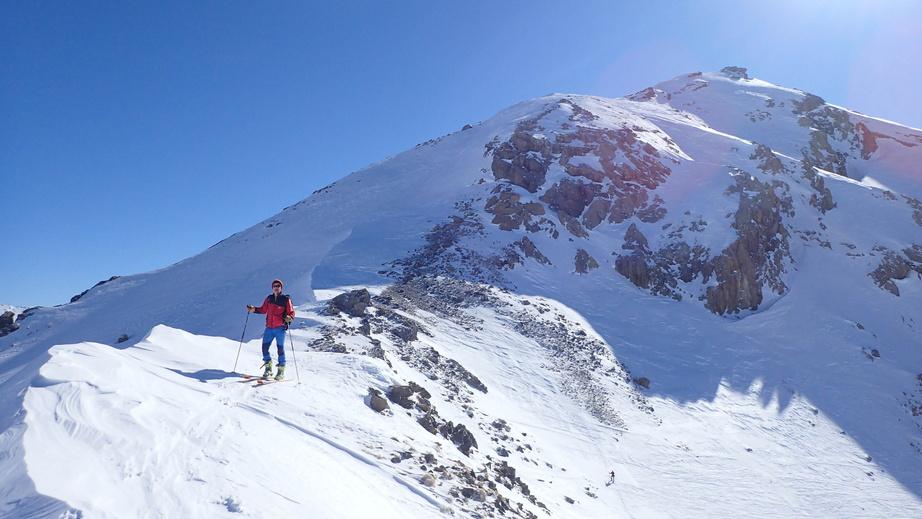
From the parking at Le Laus take the ski de fond track heading south east. At the first junction turn left and follow it as it rises After passing the 1994m height you will come to a wide opening in the trees heading east; follow this until it narrows. Here you have two options; the first is to turn to the north and follow a road that winds up the hillside to the Bergerie de Balais and from there head east to the col (easier option) or go straight up from where it narrows, then up steeper slopes to the Col de Chaude Maison From the col follow the ridge north until the height of 2855m. From there descend into a bowl, and then down into the combe. Follow this to the bottom where you return to the ski de fond track
https://fatmap.com/routeid/3095924/combe-obscure


Route stats
Ascent - 1110m
Descent - 1110m
High point 2855m
Low point 1745m
Distance 13k
Angle 30°
Aspect West
(Blue IGN) 3536 OT


Feels like a steeper line than it is, as you are in a small combe with cool rock formations, which gives interesting skiing without being too difficult.
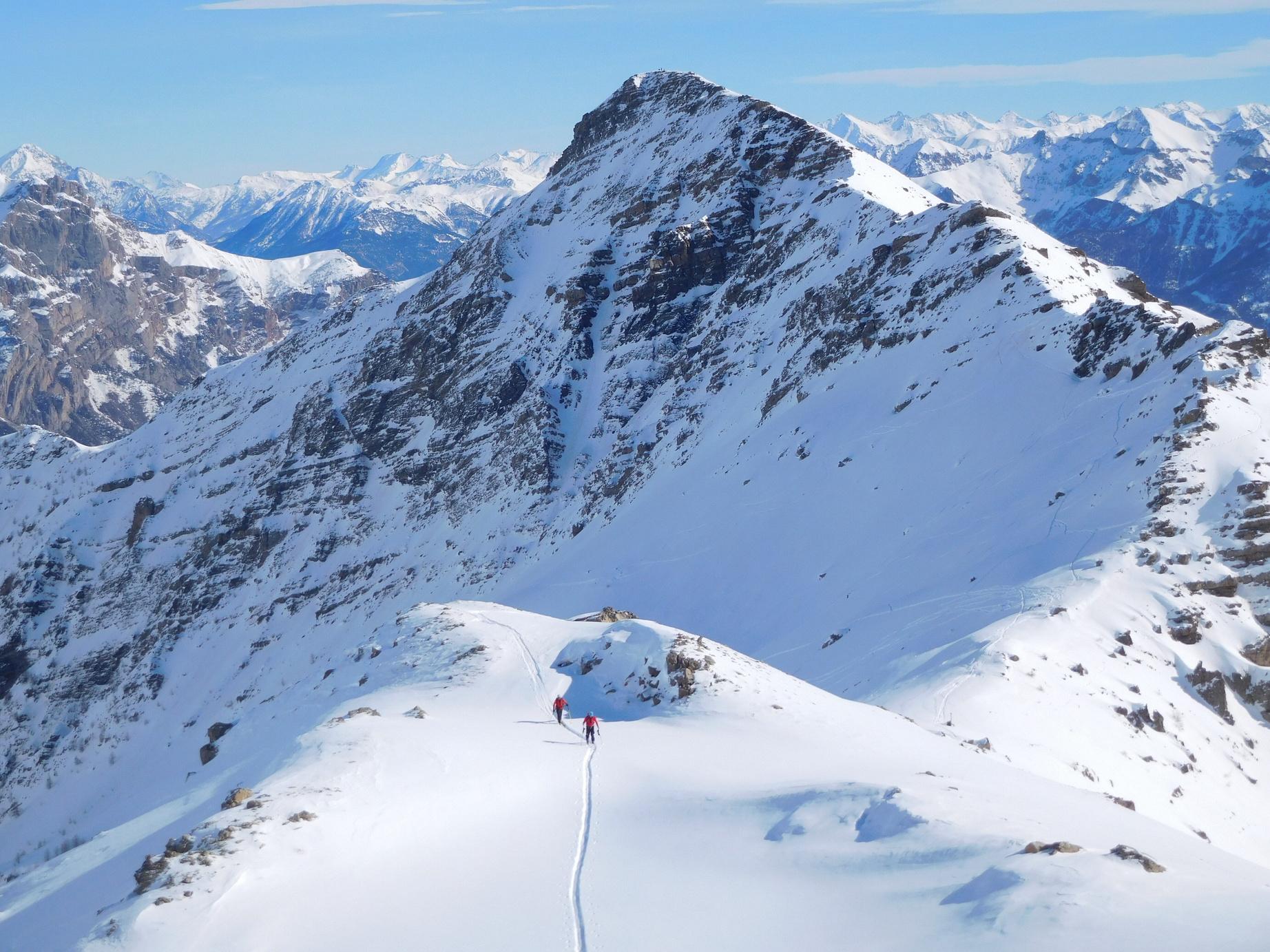



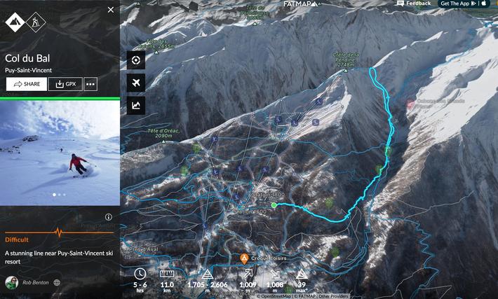
Great line that normally holds the snow well and has lots of options for the descent back to the valley.

From the parking in Puy St Vincent 1600 cross the road on the bend and follow the path. It quickly crosses a piste and then continues flat in a NW direction. Cross a metal gantry and continue until you reach the valley of Narreyroux Here turn SW and follow the valley floor. After some steeper steps turn north and climb to the Col de Bal. From the col it is possible to follow the ridge west for a few hundred metres which gives access to some steeper lines (scout on the way in) Please note this route can be accessed from Puy St Vincent ski station so it can get busy. There are lots of options on the way down Having a good scout on the way up should provide a few ideas.
Route stats
Ascent 1045m
Descent 1045m
High point 2702m
Low point 1704m
Distance 13.7k


Aspect North
Angle 35°

Map 3437 ET


https://fatmap.com/routeid/2856151/col-du-bal
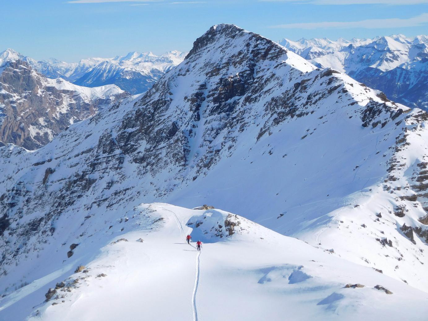
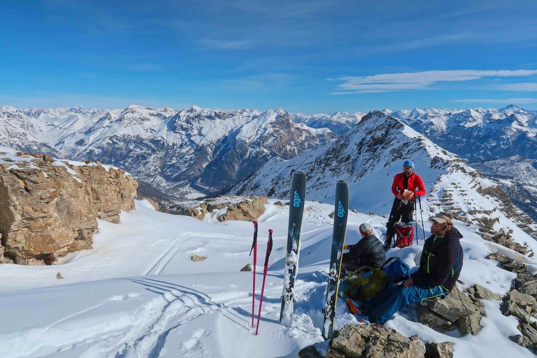
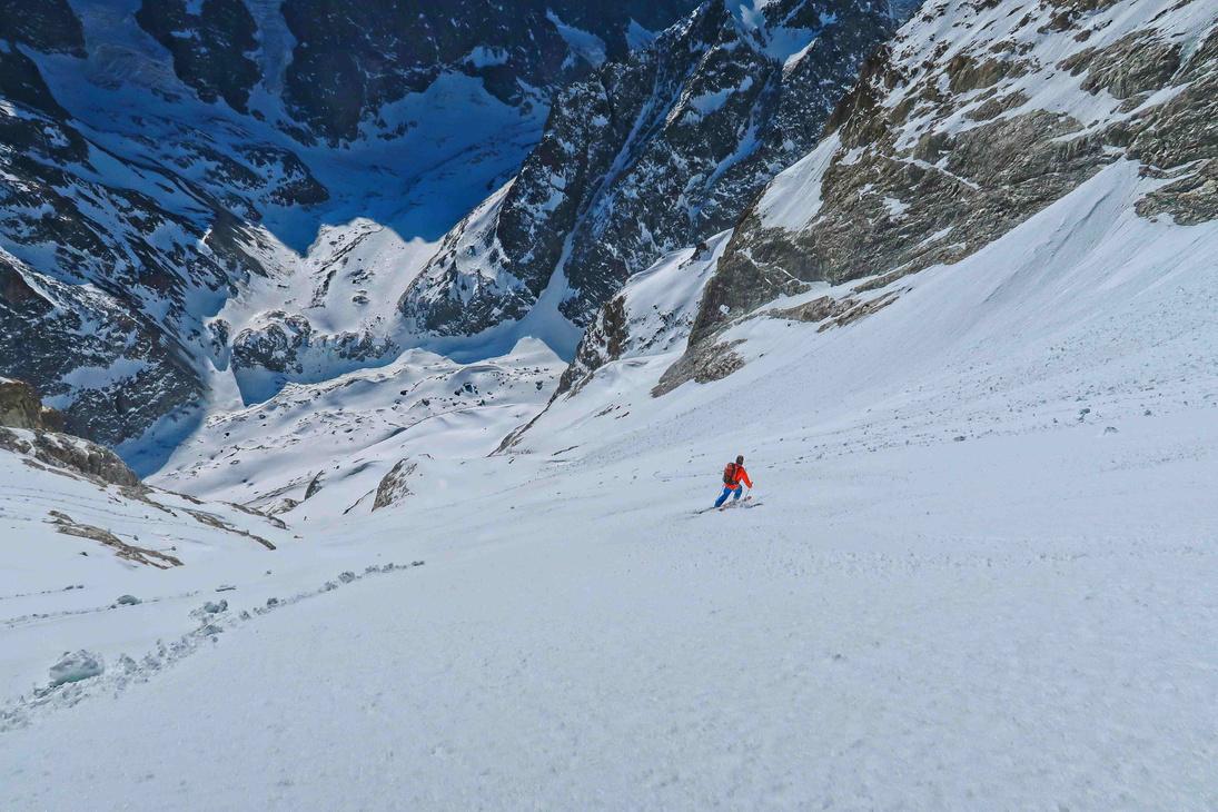
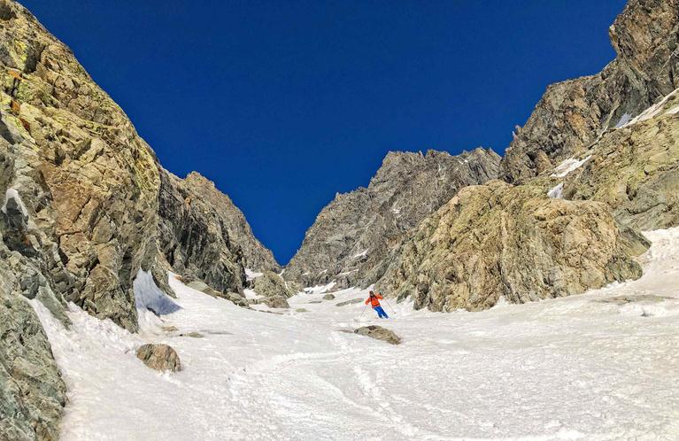
A big route in the high Écrins that delivers great skiing surrounded by big mountains and glaciers.
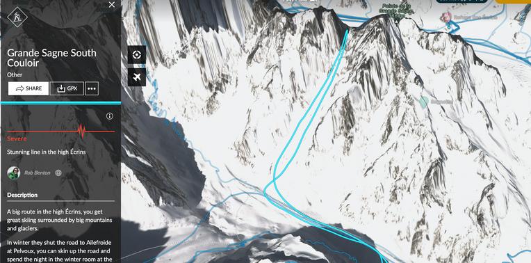
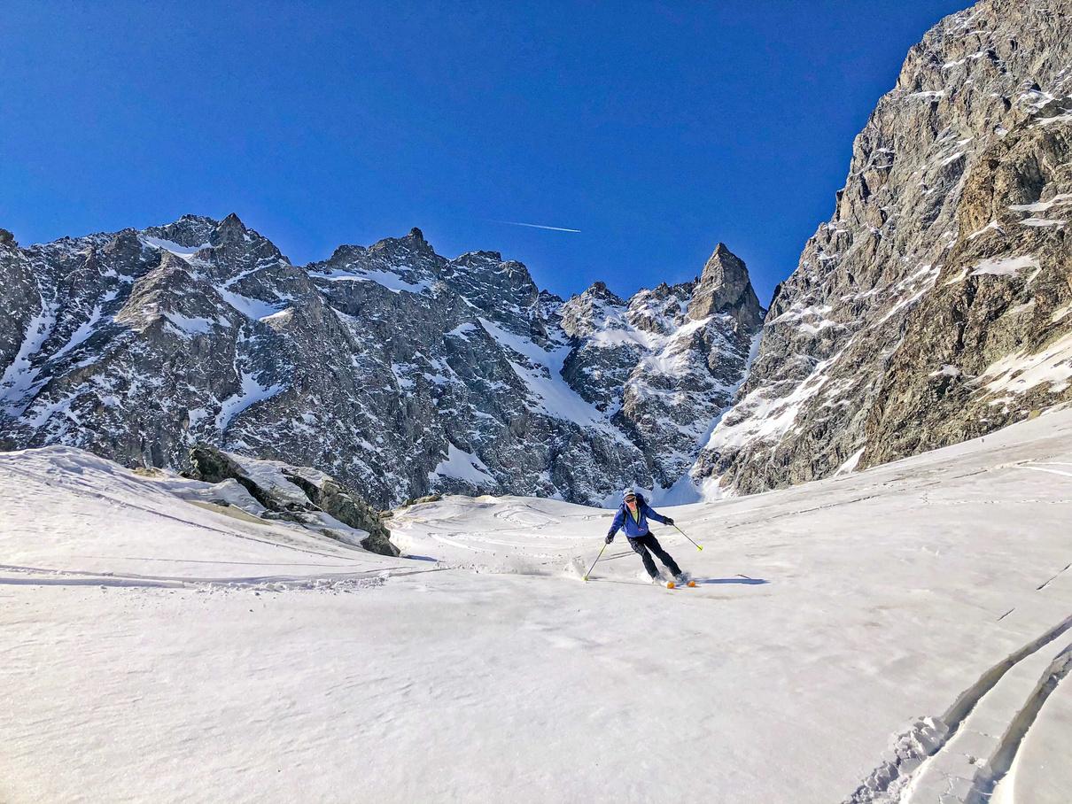
As the road to Ailefroide is normally closed at Pelvoux, park here then skin up the road and spend the night in the winter room at the Refuge Cézanne. From there you can climb up the route and ski back down to Pelvoux the next day, or you can do it as a round trip via the Glacier Blanc refuge.
If you are unsure of snow conditions it's probably best to go up and down the same way. From leaving the refuge head towards the Glacier Noir and then cross it climbing on to the moraine ridge. Climb up the ridge (or the gully behind it) until you get to the Ravin de l’Armaille, turn into the ravin and go up it It's a mixture of wide open slopes and small gullies that are tight and closed in by rocks. Near the top is a very tight section Descend the same way
In the Spring it can be done in a day from the Spring parking.
https://fatmap.com/routeid/3095917/grande-sagne-south-couloir
Route stats
Ascent - 1502m


Descent - 1502m
High point 3402m
Low point 1900m
Distance 17k
Angle 43° - 35°
Aspect South (Blue IGN) 3436 ET


Easy access for the amount of skiing you get - buy a rando pass to make it easier on your legs.
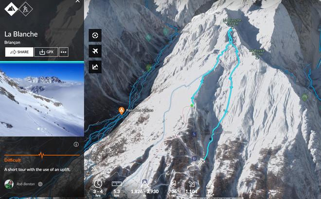
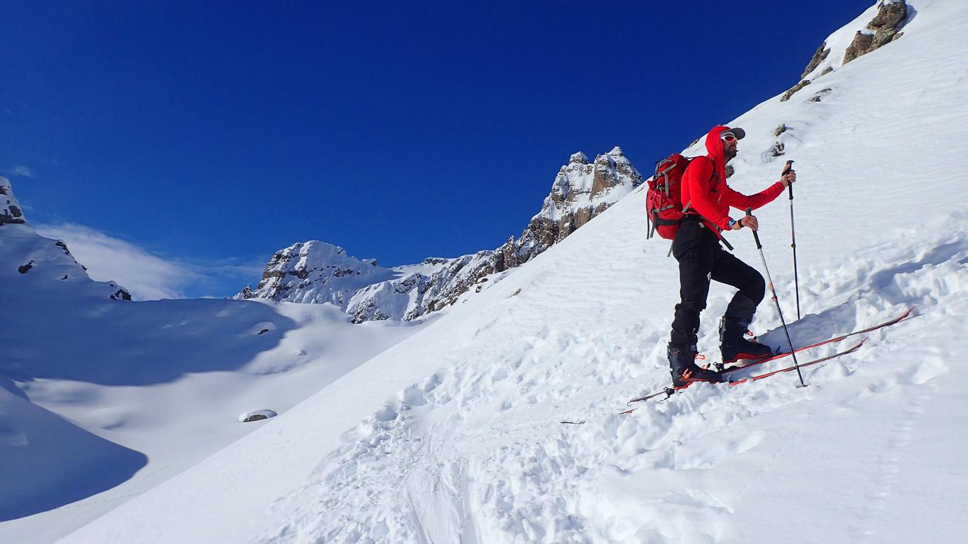
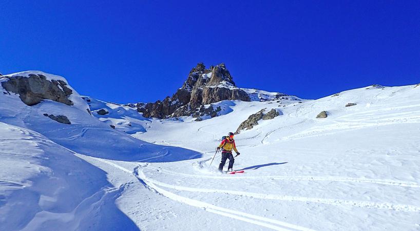
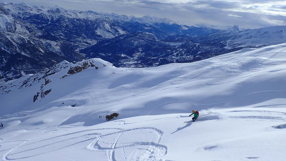
Park at the Pelvoux ski station and buy a rando pass, giving you a one-way ticket to the top of the resort (2 chairlifts).
At the top of the first lift take the chairlift on the right. At the top of the second lift, head up a gentle slope (west) that kicks up just before the Croix du Chastellet From the cross follow the ridge. At the end of the ridge there is a sign here in summer, but this may be buried under the snow Go straight over in line with the ridge (west) The route heads up for some distance and then bears right (north) to take you onto the main face of La Blanche Once on the main face if you look up you should see a steep band of snow between the rocks which leads to a col. Ascend this and from the col head rightwards (north-west) up to the summit. Descend from the summit and head towards the Lac de Puy Aillaud, then descend to the reservoir around 1872m. From here join the piste and head down.
https://fatmap.com/routeid/2856146/la-blanche

Route stats
Ascent 675m
Descent 1076m
High point 2906m
Low point 1814m
Distance 7k


Aspect East
Angle 32°
Map 3436 ET

An obvious line visible from the start of the valley that makes you just want to ski it.
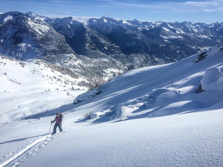
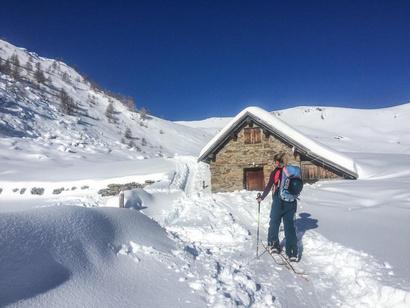
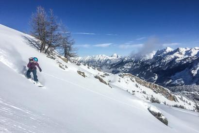
There are a few ways to get to the summit of the Tête des Raisins. The parking is at 1568m but this can be difficult to access as they don’t always clear the snow past the village of Les Roberts; if this is the case park with consideration at Les Roberts and skin up the road to the 1568m point. At this point (a right-hand bend in the road) you can turn off onto a small track As you leave the road you can sometimes look up and see the roofs of the houses at Les Garcines - that is where you are heading. From there head up through the tree line and onto a broad shoulder You should see steep, craggy ground in front of you. You can head straight up the steeper ground to a ridge that will take you across to the summit, or head to the cabin of Clos Sarret. From the cabin head up the valley as it bends west until you can see the summit Then pick a line up to the ridge and summit. Many choices for the way down.
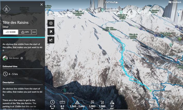
https://fatmap.com/routeid/3108136/tete-des-raisins

Route stats
Ascent - 1240m
Descent - 1240m
High point 2655m
Low point 1415m
Distance 10k
Angle 32°

Aspect East
(Blue IGN) 3437 ET


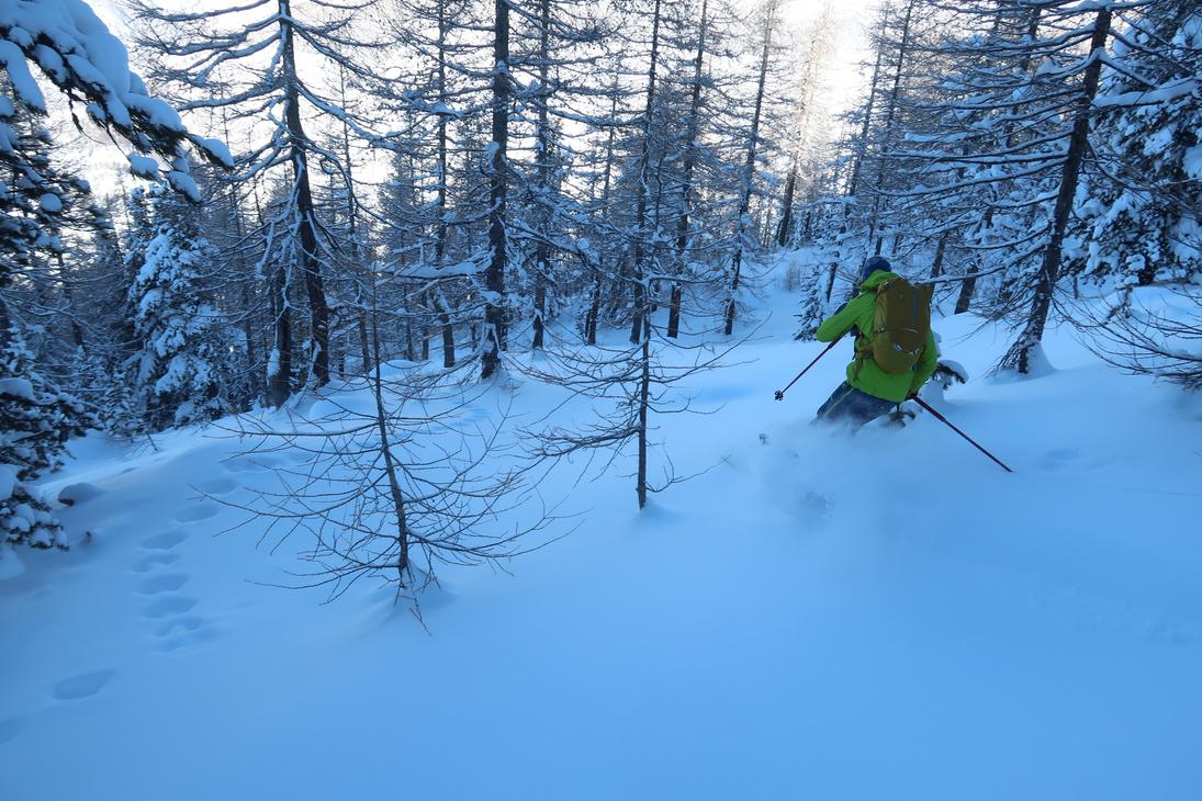
A long tour that has a mix of tree and face skiing, giving a great day out.
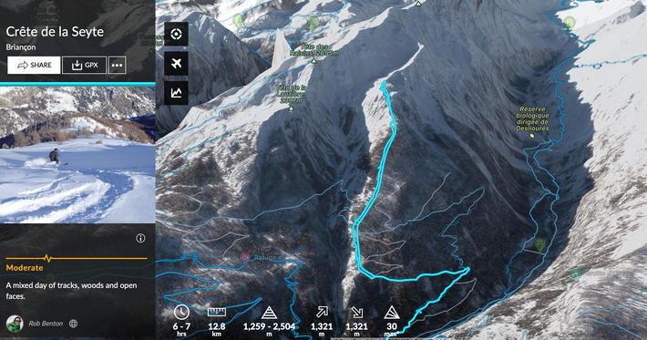

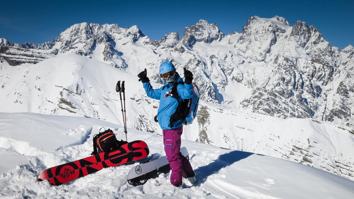
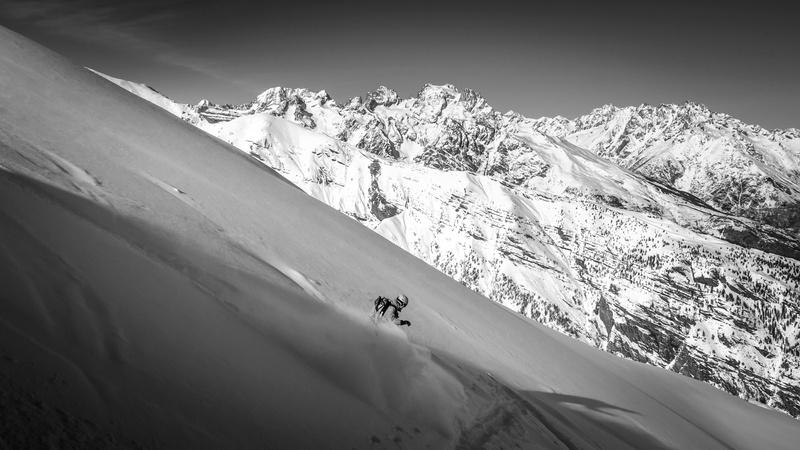
Parking depends on where they have cleared the road to; worst case is you have to park at the silver mines and ski up the road a little. Opposite the hydro building you leave the main road and follow the small road up. You can either continue following the road up to a few houses by a font, or turn off and climb through the trees (shown on IGN map). From the houses you climb the ridge in the trees. As the trees thin there is a roped off nature reserve that you must stay out of Once out of the trees climb the shoulder to the top of the ridge.
Ski back down to the houses where you can join the road to descend (easy); or try and pick your way through the trees, but be careful as they can be close together in places.
Route stats
Ascent 1321m
Descent 1321m
High point 2504m
Low point 1259m
Distance 12k
Aspect East
Angle 30°

Map 3437 ET
https://fatmap com/routeid/2856150/crete-de-la-seyte


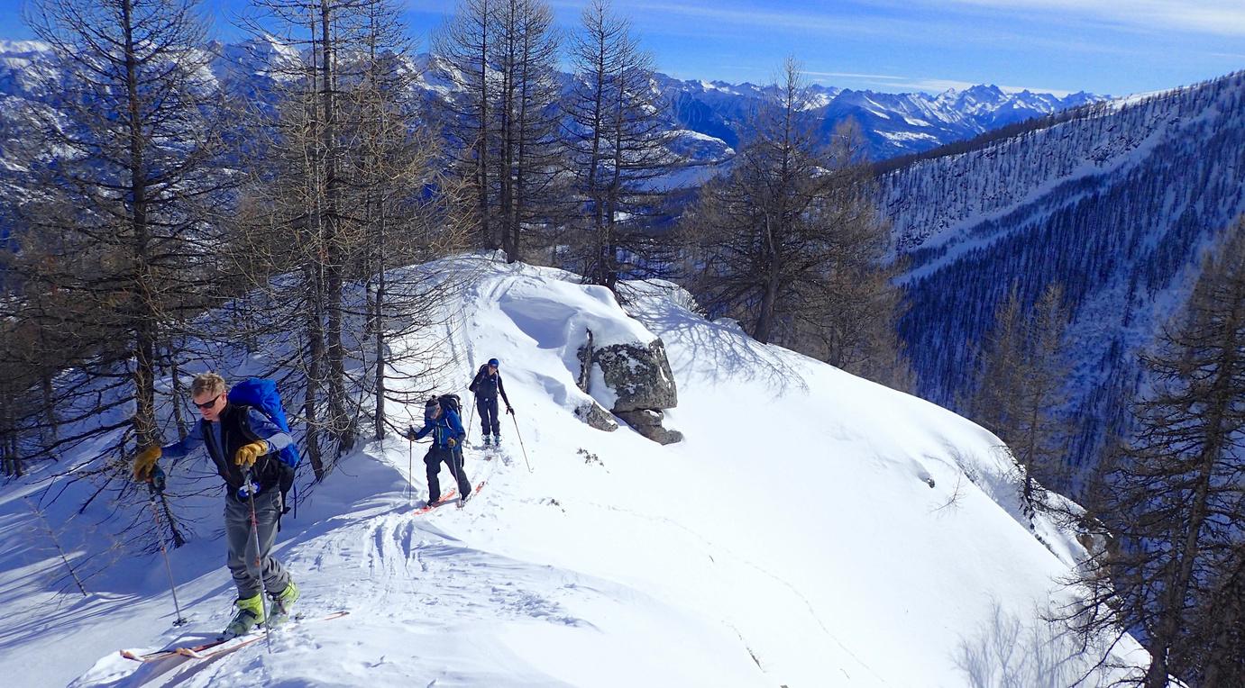
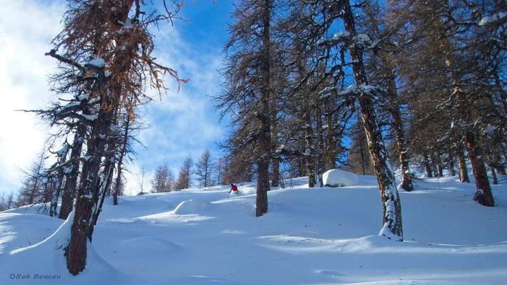
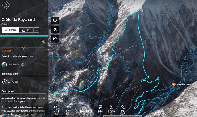
From the parking take the snow-covered road towards Narreyroux. There are tracks that cut the corners of the road to make it shorter. Head for the few houses known as Sousteyran, then leave the road again and go behind the houses heading up to the tree line. From here go straight up an open face that joins a ridge at the top. Once the trees finish you can continue up the open ridge as far as you want. For the descent you can go back down the same way, or as you hit the trees go left down to Vallouise ( you need good snow levels for this). If going to Vallouise you ski the trees aiming for a footpath that comes up off the valley floor, which allows best access to the bottom. If you miss this the last bit can be a bit of a bush bash.
Route stats
Ascent - 954m
Descent - 1249m
High point 2315m
Low point 1159m
Distance 12k
Angle 34°

Aspect north
(Blue IGN) 3436 ET


https://fatmap.com/routeid/3095904/crete-de-reychard


An amazing couloir down into Ailefroide, with easy access if you use the uplift.
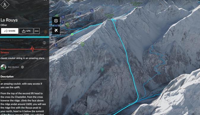
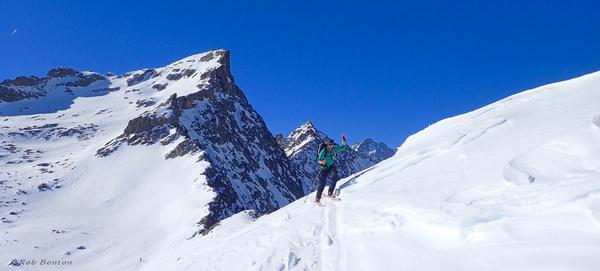
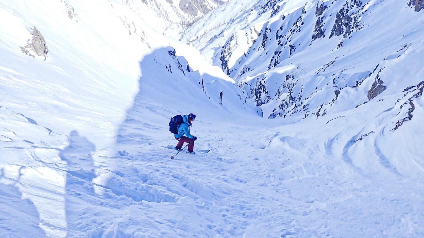
From the top of the second lift head to the Croix du Chastellet From the cross traverse the ridge. Climb the face above the ridge. At around 2600m you will see the Rouya peak to your north; head to it Below the summit of the Rouya, around 2700m, you will find the entrance to the couloir.
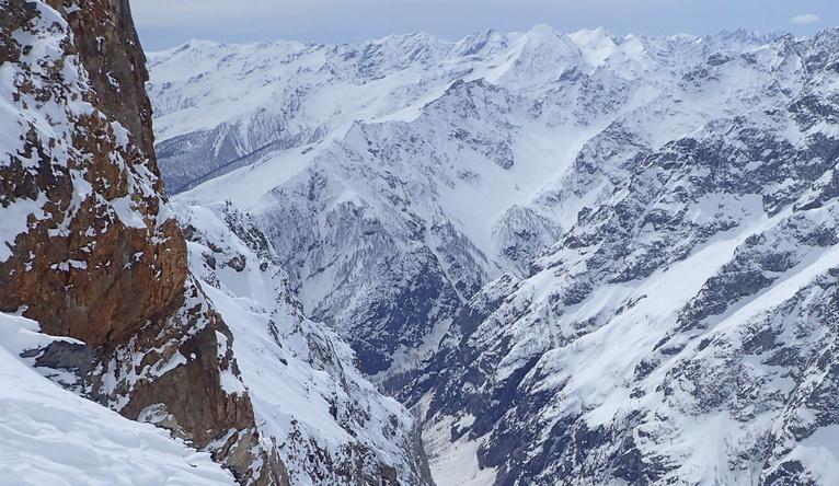
The first 20 metres of descent are steep (having a rope or ice axe may help depending on conditions). Once down the first bit, the route bears right and you should see it narrow between two rock faces. Follow the obvious line down and into the Ravin de l'Alpet It leads down to Ailefroide, from where you can head down the road and if there is enough snow follow a ski de fond track to the Pelvoux ski parking.
https://fatmap.com/routeid/3095897/la-rouya

Route stats
Ascent 490m
Descent 1490m
High point 2730m
Low point 1240m
Distance 10k
Aspect North
Angle 45° - 40°
Map 3436 ET

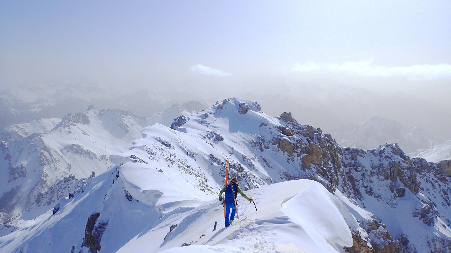


An amazing traverse that just keeps giving - the climb up and traverse of the summit ridge are as amazing as is the skiing.
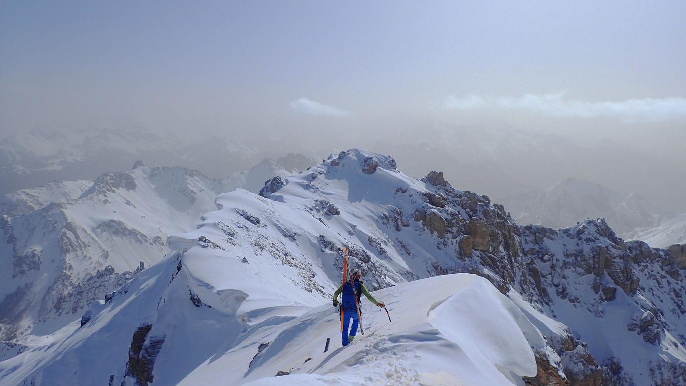
This is a long tour that involves some steep climbing in the north couloir, followed by an airy traverse of the ridge The descent requires you to have good route finding skills
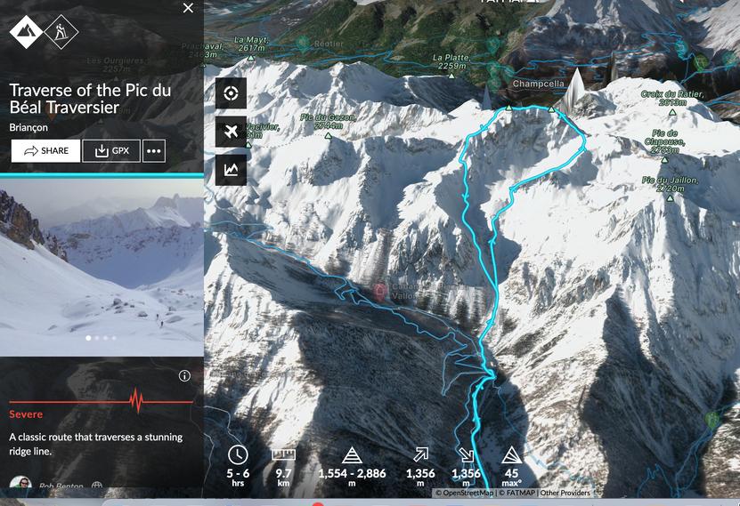
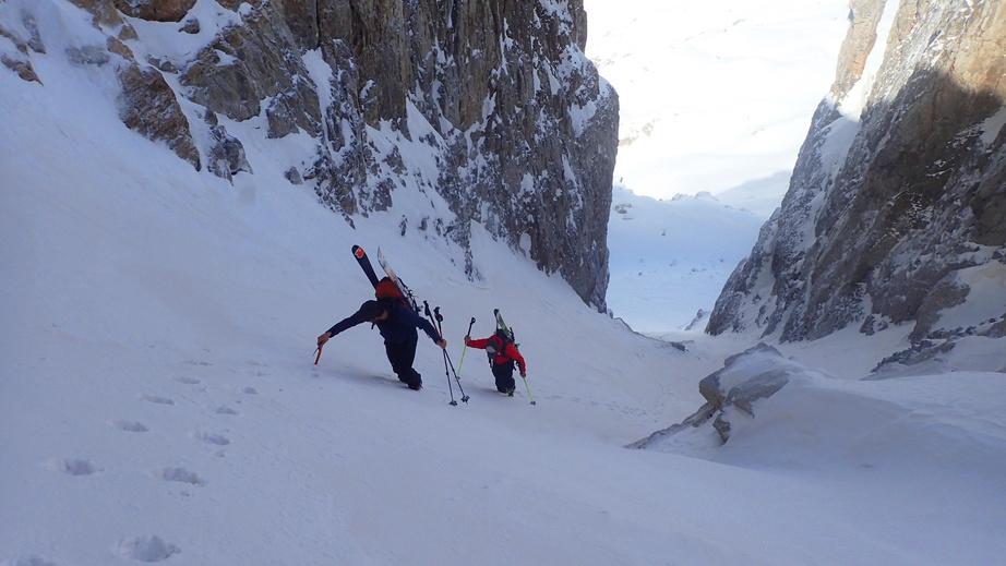
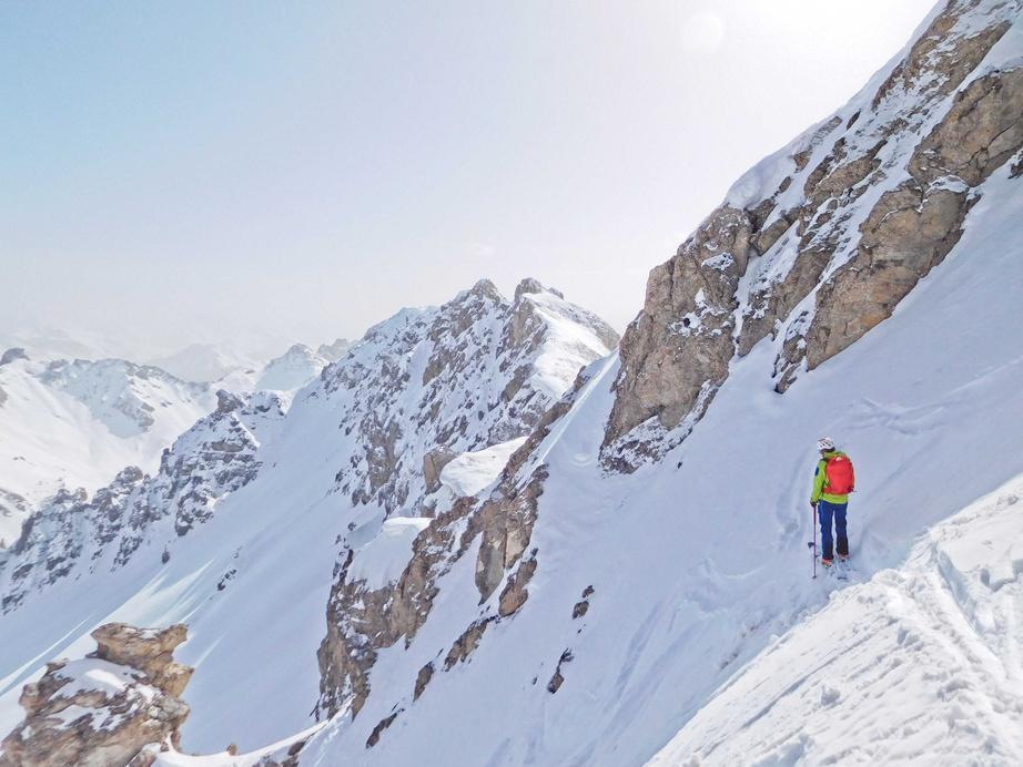
From the parking, follow the GR58 along the valley floor and as the road bends back on itself, start to climb up the slopes near the Ravine de Clapouse. Here you have a choice to either climb the open face or stick to a band of trees for the climb until you reach 2448m Then turn northwest and climb up a small valley to the ridge. From the ridge go west under the north face of the Pic Béal, and once under the obvious north couloir of the Pic Béal climb to the top of this couloir. The couloir leads onto the steep east facing slopestraverse these until you can climb again to the main ridge
Follow the ridge until the south face opens up. The views from the ridge are amazing. Descend and head back east to find a series of slopes and couloirs that lead back down.
https://fatmap.com/routeid/2851753/traverse-of-the-pic-du-beal-traversier
Route stats
Ascent 1333m
Descent 1333m
High point 2872m
Low point 1554m
Distance 15k

Aspect All
Angle 45°


Map 3537 ET

One of the best larch skiing routes in the area, which is perfect on powder days. But be warned it's accessed by a small road and a 4x4 may be needed.
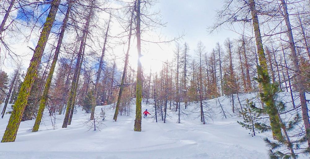
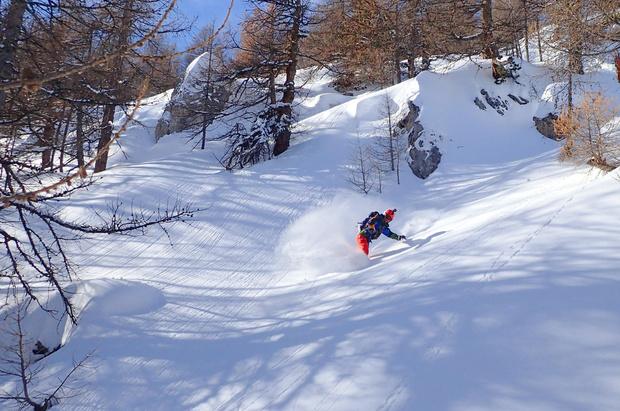
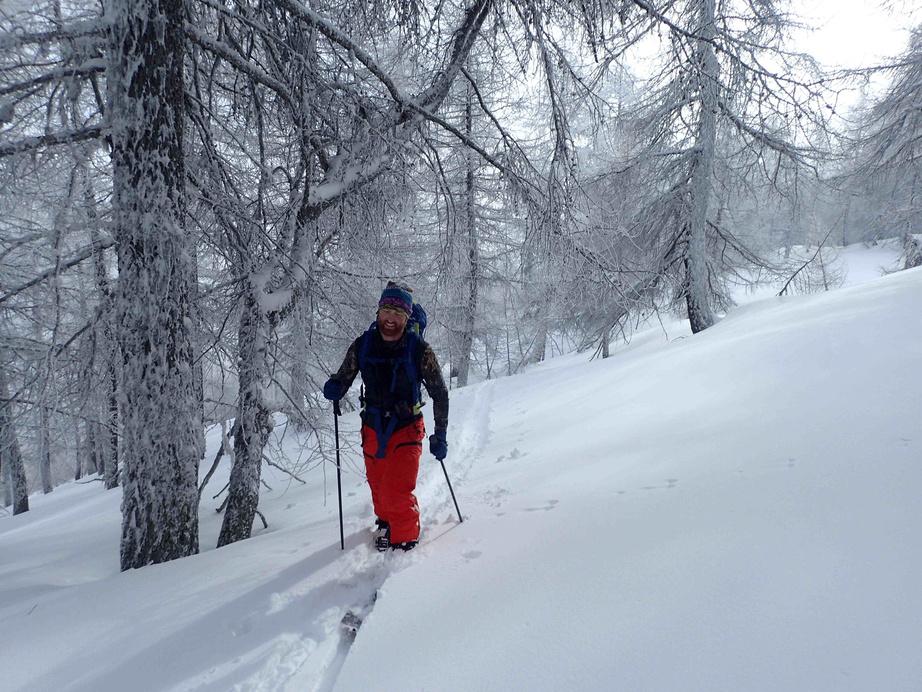
Park where the road closes on the way to Mikéou (normally around Truchet). From there skin up the road to Mikéou and at the buildings enter the trees. There are a series of paths and a road leading up the hill side Often the skin tracks will pick the best line between these. Make your way up to the Crête de la Brèche where the trees start to thin out, and from there head up the open ground to the summit Descend the same line. Staying on the broad shoulder gives great skiing.
Route stats
Ascent - 1050m
Descent - 1050m
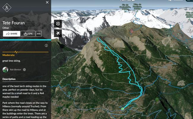
High point 2460m
Low point 1410m
Distance 9k

Angle 30°
Aspect E
(Blue IGN) 3437 ET & 3537


https://fatmap.com/routeid/3095893/tete-fouran

This is a perfect route for beginners to ski touring. It's easy to access with an easy angle up and down, but at the same time you really feel like you're out in the wilds.
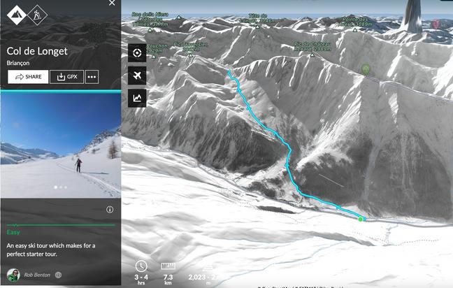
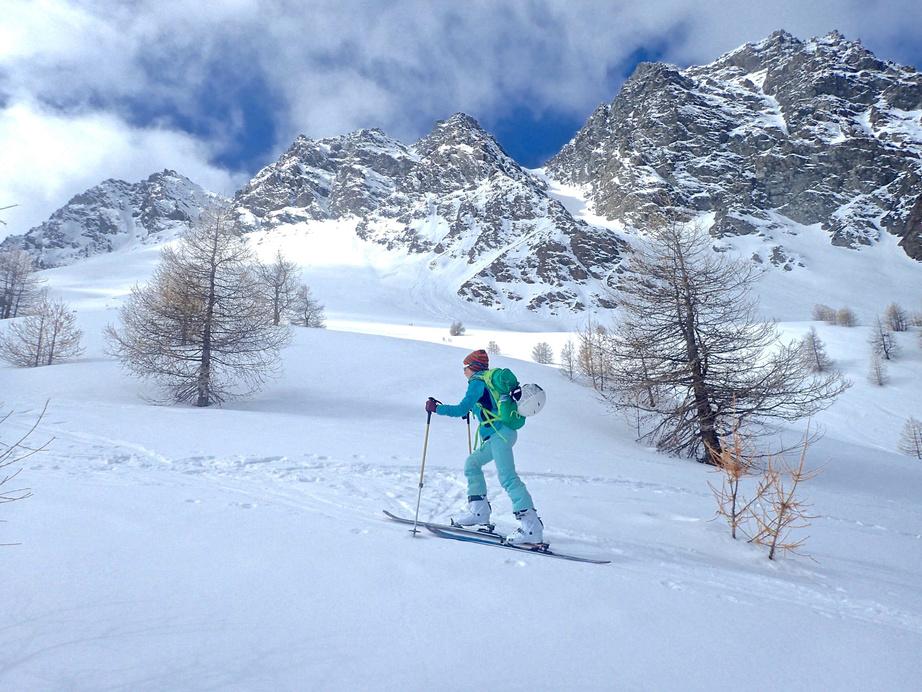
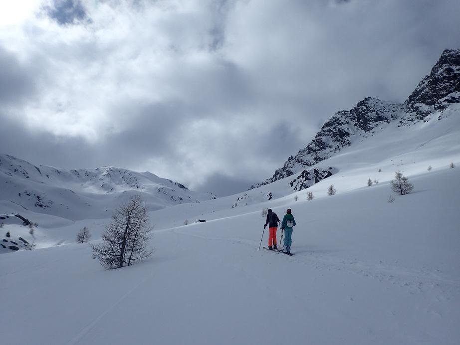

From the parking cross the bridge and follow the ski de fond track south east Break off the track skier's right (south). This takes you up to a small narrowing between some trees and from there back into an open section Keep heading up until you come to a more heavily forested section then climb through the woods until it opens out. Head up the valley - it climbs at a very steady angle with the odd steeper bit until the last steep bit to the col From the col you can climb the peak to the left (Pic Traversier) if you fancy some steeper ground. Descend the same way to the parking
Route stats
Ascent - 677m
Descent - 677m
High point 2701m
Low point 2024m
Distance 6k
Angle 25°

Aspect N
(Blue IGN) 3637 OT
https://fatmap.com/routeid/2856724/col-de-longetr

This is a long route and takes you up along the edge of the Val d'Escreins nature reserve. It gives great views and some very nice skiing.
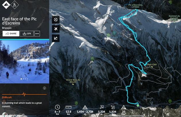
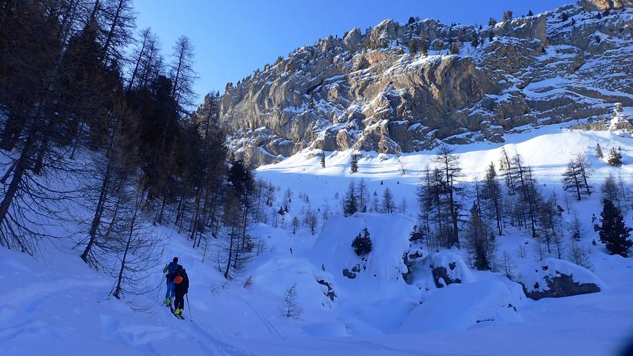

From the parking follow a series of paths and forest roads towards the Pra du Jas. From there follow the road and then the steep path towards the Cabane du Bancus
Before the Cabane turn west and climb up under the big rock face at Le Bancus. At the top ridge turn west and climb to the summit of the Pic d’Escreins
For the descent head back the way you came with great open skiing to start with and then into the trees. You have a choice to ski the roads back or stay in the trees and descend to some lower roads, but the trees get closer together the lower you go

Route stats
Ascent - 1266m
Descent - 1266m
High point 2696m
Low point 1439m
Distance 13k
Angle 35°
Aspect NE
(Blue IGN) 3537 ET
https://fatmap.com/routeid/2852261/east-face-of-the-pic-d'escreins


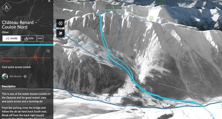
One of the better known couloirs in the Queyras, for good reason - quick and easy to access with stunning skiing.
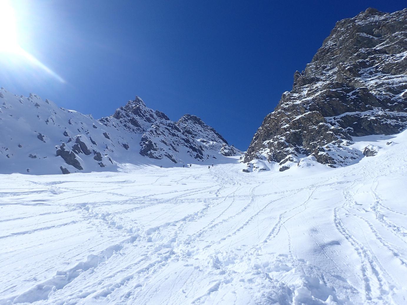
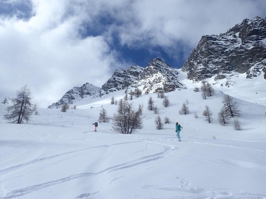
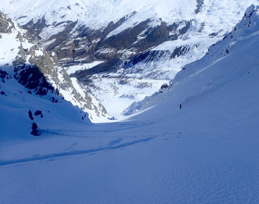
From the parking cross the bridge and follow the ski de fond track south east. Break off from the track on the right (south) towards the 2158m height From here head up the Longet valley. After you leave the woods you will see the Couloir Nord on your right Head up the couloir until it levels out You can climb up to the summit of the Pic de Château Renard from here or just finish at the top of the couloir. Descend the couloir and then back through the trees to the ski de fond track
Route stats
Ascent - 879m
Descent - 879m
High point 2903m
Low point 2024m
Distance 7k
Angle 37°

Aspect N
(Blue IGN) 3637 OT


https://fatmap com/routeid/3095892/chateau-renard-couloir-nord

A peak with lots of amazing ski lines. The full traverse is the best.
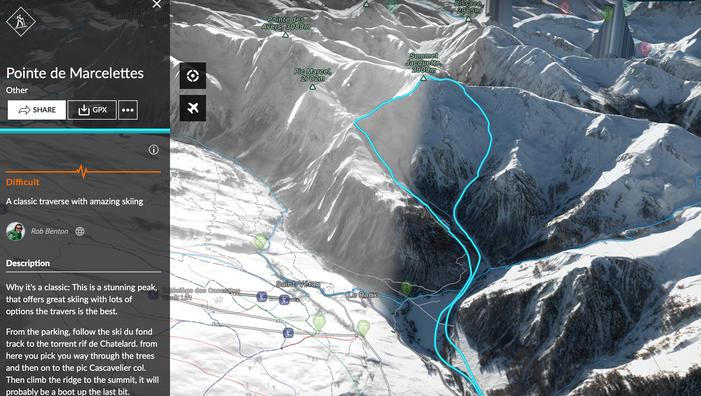
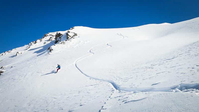
From the parking, follow the ski de fond track to the Torrent Rif de Chatelard From here pick your way through the trees and then on to the Pic Cascavelier col. Climb the ridge to the summit, which will probably be a boot up the last bit
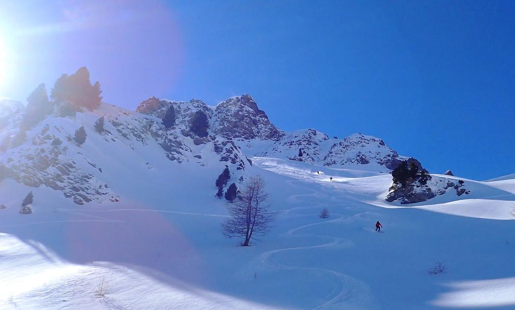
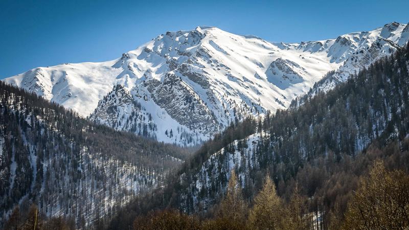
From the summit descend a short way down the shoulder and then into the Chatelard valley You drop in to a small bowl and then onto a bigger face Traverse the face a short way then turn right onto steeper slopes. As you get to the bottom of the valley and the trees there is a waterfall (frozen) Depending on snow levels you can ski to the left or right of it Then follow the torrent back to the ski de fond track and the parking.
Route stats
Ascent - 1266m
Descent - 1266m
High point 2696m
Low point 1439m
Distance 13k
Angle 35°

Aspect NE
(Blue IGN) 3537 ET


https://fatmap com/routeid/3095887/pointe-de-marcelettes

A beautiful ski up a stunning valley to one of the higher peaks in the Queyras with great views and a flowing ski back down.
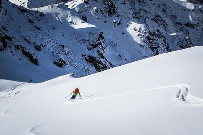
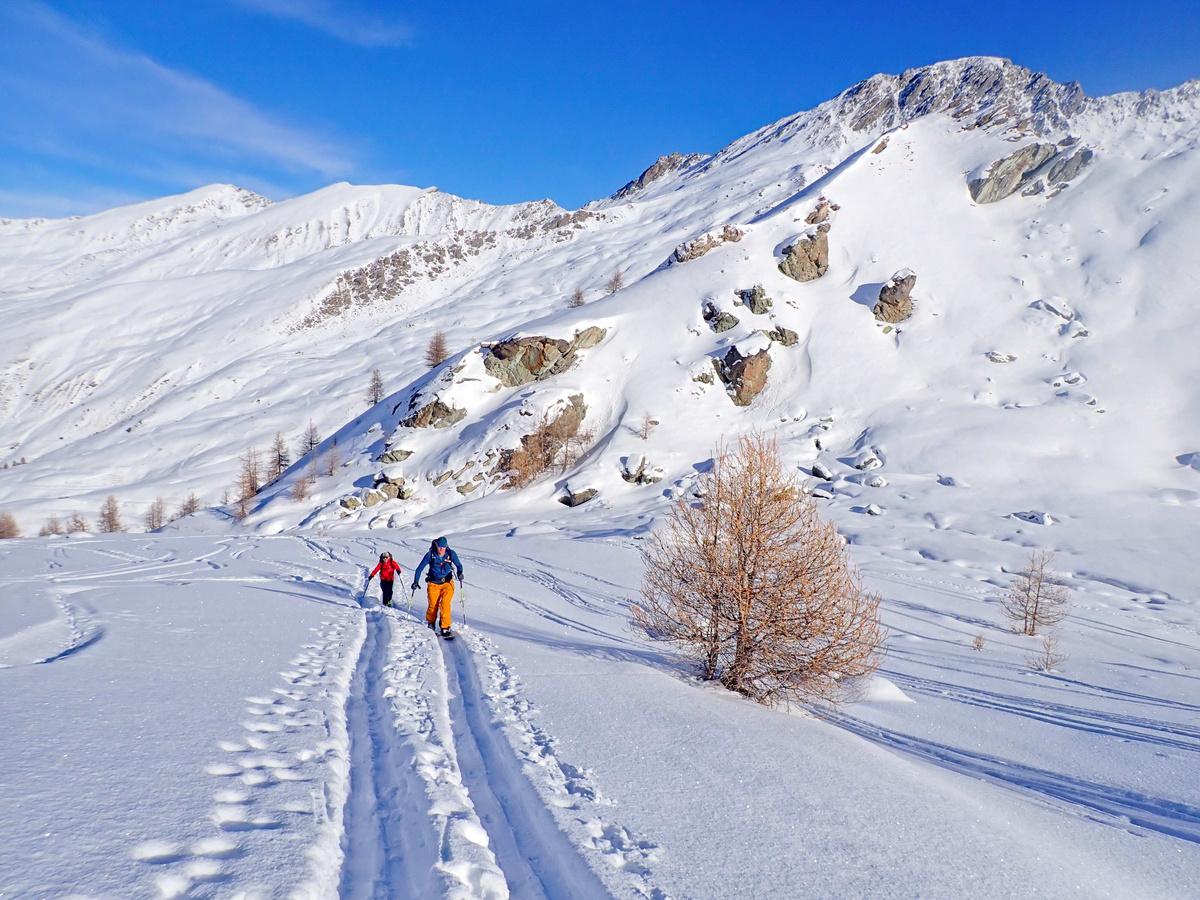
From the parking where the road ends, take the ski de fond track up the road, turning off south just before the Bergerie des Tioures, then drop down to the river and cross a small (thin) bridge.
From there climb the slope and follow the Torrent de Clausis to where the high valley opens out then bear towards the right of the Pic de Cornivier and cut back underneath it The slope steepens until you reach a diagonal ramp trending eastwards leading to the summit of the Pointe des Sagnes Longues
Ski back along the ridge and drop off onto the ramp. (Make sure you don’t do this too early ) Then follow the route back to the bridge, cross it, make a short climb and ski back down the ski de fond track.
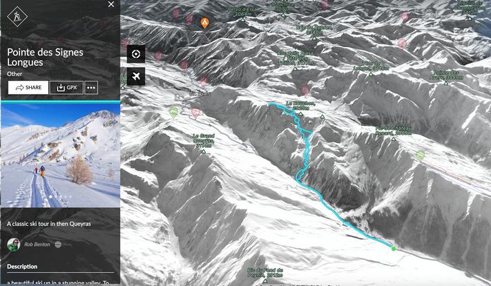
https://fatmap.com/routeid/3103234/pointe-des-signes-longues

Route stats
Ascent - 1012m
Descent - 1012m
High point 3032m
Low point 2020m
Distance 14k
Angle 35°
Aspect N

(Blue IGN) 3637 OT


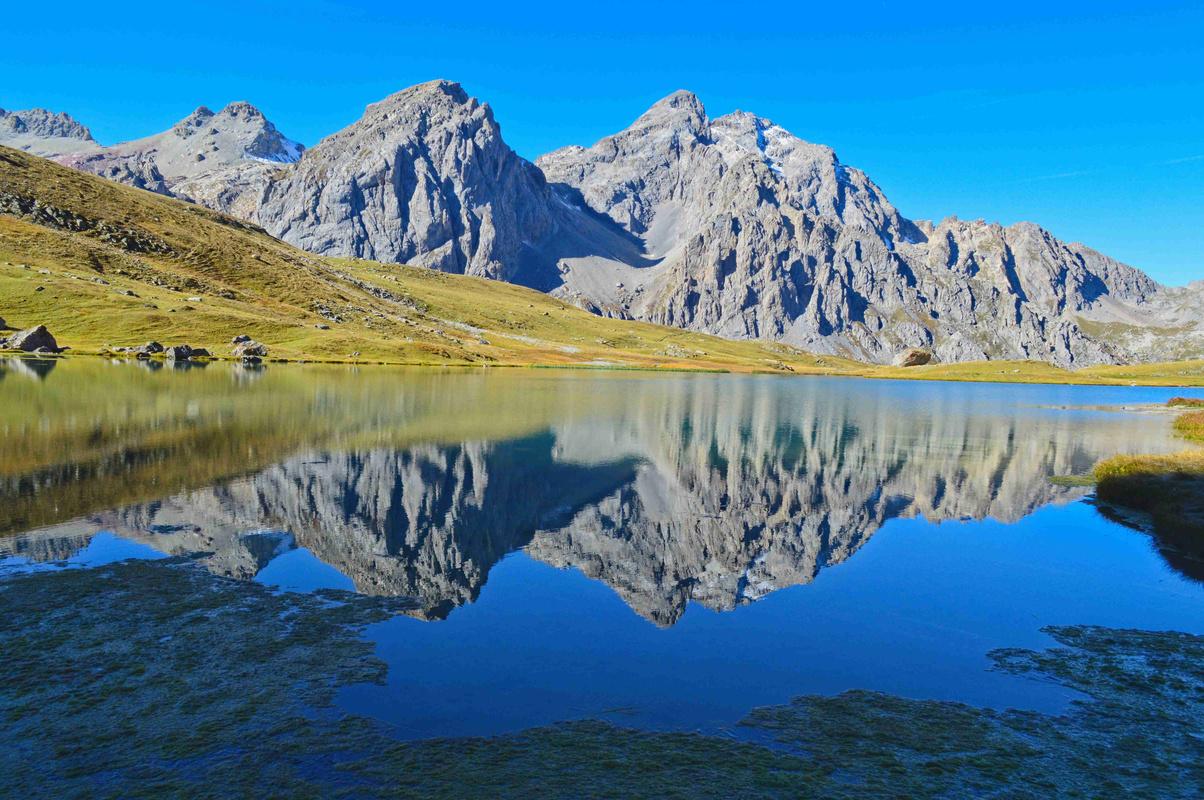
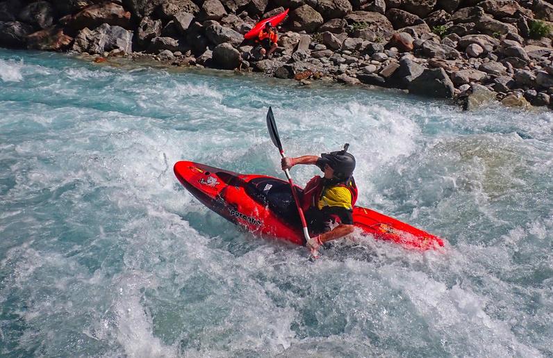
Rob Benton is a UK Mountaineering and Rock Climbing Instructor, an International Mountain Leader, kayak guide and a qualified teacher. He also holds the French equivalents to teach these sports.

Rob offers rock climbing instruction and coaching to every level, guiding for mountain walks and white water kayaking. He also owns a school adventure company.
"We spent 6 days climbing under the guidance of Rob, and we highly recommend it! Rob is a super-friendly and very professional guide, who has the ability to put people at ease
He is very engaged and attentive to the individual needs of the climbers. Thanks to his coaching and tips, we gained a lot of confidence and made tremendous progress in our ability to climb outdoors independently
Rob also has remarkable knowledge of the area, so he can easily choose crags depending on difficulty, on the weather and on where the crowds are Overall we had a fantastic experience!”
Isabelle and Olivia"Rob is great - I’ve used him now for climbing over 2 trips to the Ecrins He is spot on with our young children – engaging, encouraging, and totally safe. Even in the last week of the season he was fresh, fun and patient – a critical attribute where our boys are concerned!
He’s also given me a masterclass in footwork which, although it won’t eliminate half a lifetime of bad habits overnight, saw me quickly up my lead grade to a level not seen in 10 years
Rob’s success stems from an extensive background in education and coaching, coupled with immense experience as a climber; he really understands people and what each individual needs to succeed
Probably the most notable outcome of all our time with Rob is that non-climbing Mrs H felt so enthused in his company to have a climb herself; her first ever "
Martinwww.ecrinscollective.com


Local guides
Seb Foissac
https://www.rock-ice-snow.com
I chose to be a mountain guide because I love sharing my passion for skiing and the mountain, and the profoundly human values associated with it For me, the client is someone with whom I share a unique adventure Security is a priority, my goal is to give you a day filled with happiness... A snowy smile will be my reward. So go ahead : drop everything and come and share with me incredible runs on the slopes of Hautes-Alpes
Splitboard specialist instructor
William Banks
https://serrechevalierskischool.com
An independent ski instructor, from the ESI ( international ski school.). I have lived in the southern alps for the last 20 years Used to be a member of the French snowboard team, with whom I raced on the world cup circuit I have been a ski instructor for the last 7 years I have specialised as a splitboard instructor and I offer day or multi day courses with spliboarding kit included.
British Mountain Guide

Martin Chester

https://www.martinchester.co.uk


martin@martinchester.co.uk
I'm a nomadic international (IFMGA) mountain guide: chasing the best snow through the seasons I believe my own love of learning new skills & exploring new areas helps me bring out the best in others Ski touring is a real team event, so I love nothing more than taking a great group to wild places, far from the crowds, and far beyond their expectations We're all capable of so much more than we realise – especially with the right support.
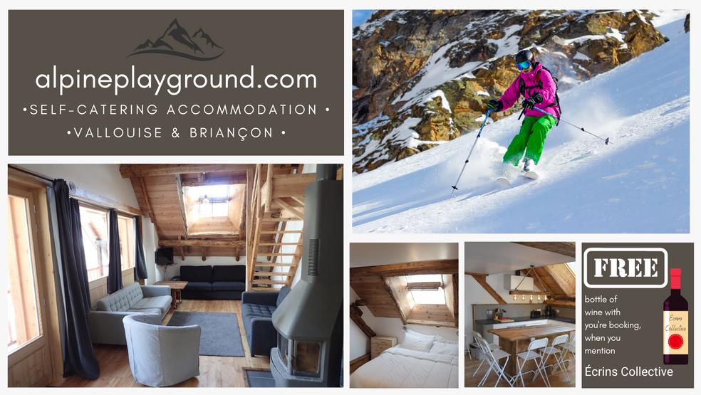
Self catering
alpineplayground.com (see above offer ) - Vallouise
alpbase.com - Vallouise
Catered Gites
gitelescarlines.com - Les Vigneaux
alpelune.com - Puy Saint Vincent
Hotel
hotel-st-roch.com - Puy Saint Vincent
Briançon
Self catering
alpineplayground.com (see above offer ) - Briançon old town
Queyras

Self catering
gitelechampignon.com/en - Risoul

Recommended
Écrins - Vallouise valley
Kings - Vallouise
Serre Chevalier - Le Monêtier-les-Bains
Elixir
Briançon
Chullanka (formally Approach) - Centre Commercial Sud
Intersport - Centre Commercial Sud
Decathlon - Centre Commercial Sud
Queyras


FATMAP offer great online mapping, including 3D - IPGN French maps and overlays for slope angle, aspect and lots of other features to help you plan your tour They also have routes that users and professionals have added to their data base.

The best paper guidebooks are the Toponeige series. They are excellent books with good photos and cover lots of routes. French Language only, they stick to geographical regions, producing 3 guides (Écrins East, Cerces and Queyras). Sometimes you need more than one depending on where you are based.
Website made by Rob, the author of this guide, showcasing routes for ski touring, summer walking and via ferrata. Each season new routes are added, building an amazing free resource for adventurers coming to the Écrins. There is also a Facebook group to share your adventures and ask questions.

If you enjoy the mountains in summer, check out my free via ferrata app guide to the area. Search via ferrata Écrins Briançon wherever you get your apps.
