
ESP TEAM PORTFOLIO OF WORK:

ESP TEAM PORTFOLIO OF WORK:
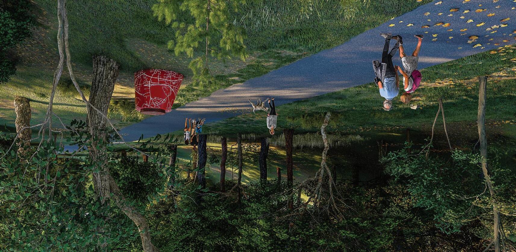
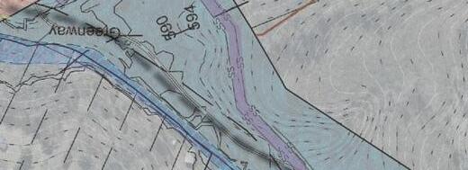
Greenways continue to rank as a popular amenity in the region, increasingly a focal point during comprehensive planning studies.
ESP has invaluable experience helping agencies plan, design, and implement trails, greenways, and overland connectors to successfully connect and expand your open space amenities.
Our planners, landscape architects, and engineers will collaborate with you and your stakeholders to develop creative design solutions rooted in unique placemaking, effective capital planning, and practical implementation for the long-range economic growth of your community.
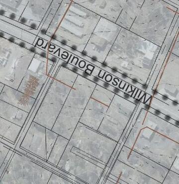
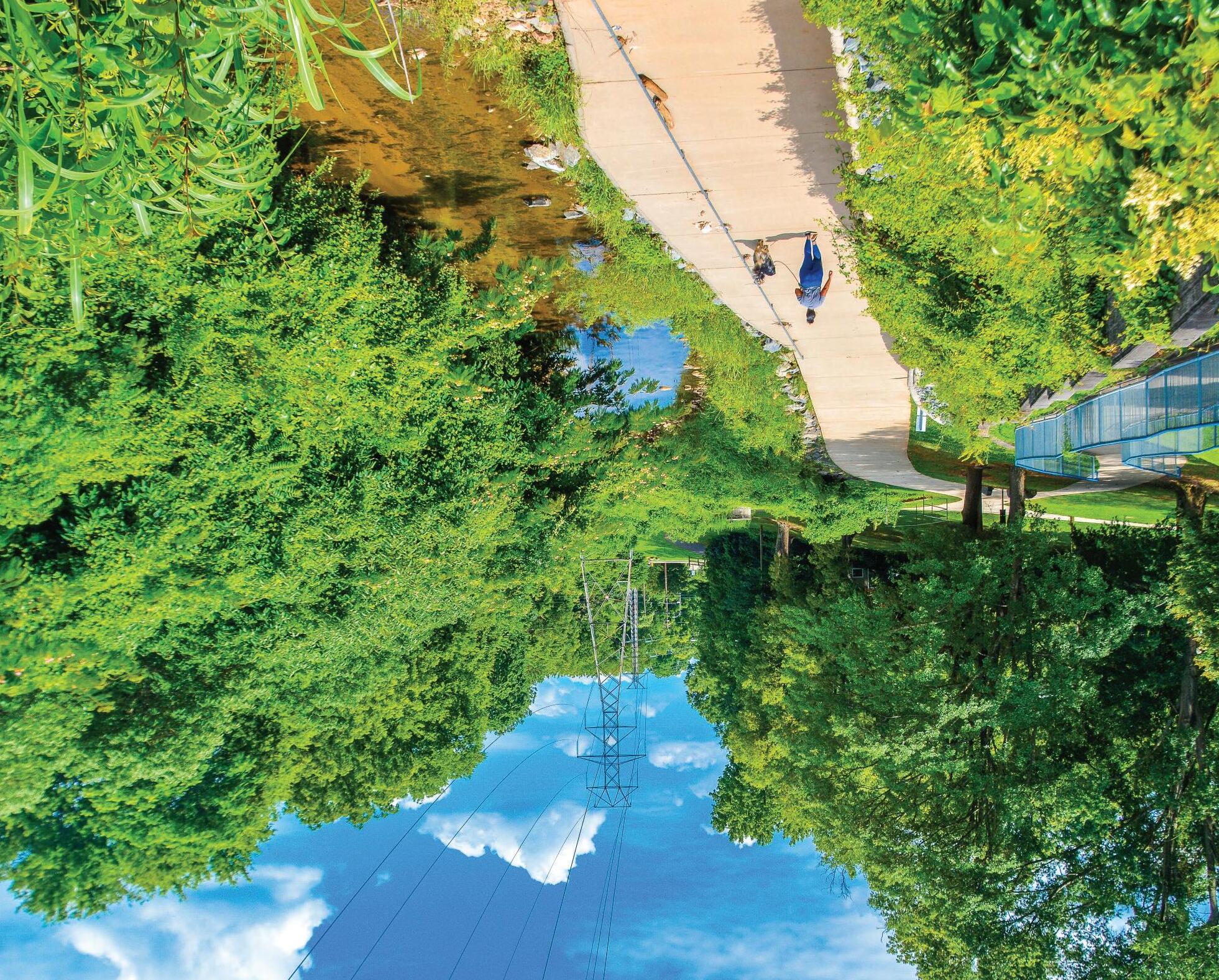
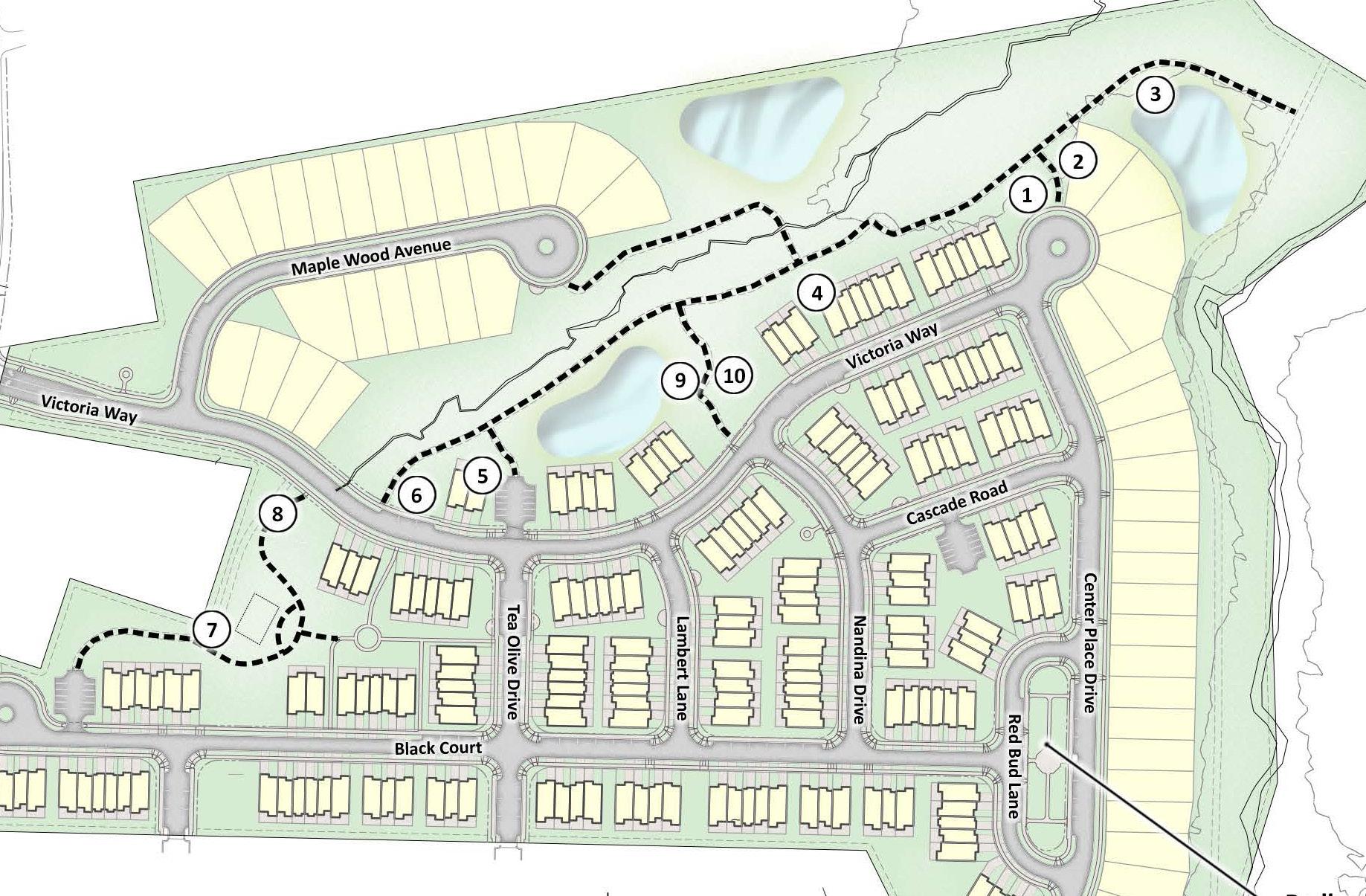
BELMONT, NC

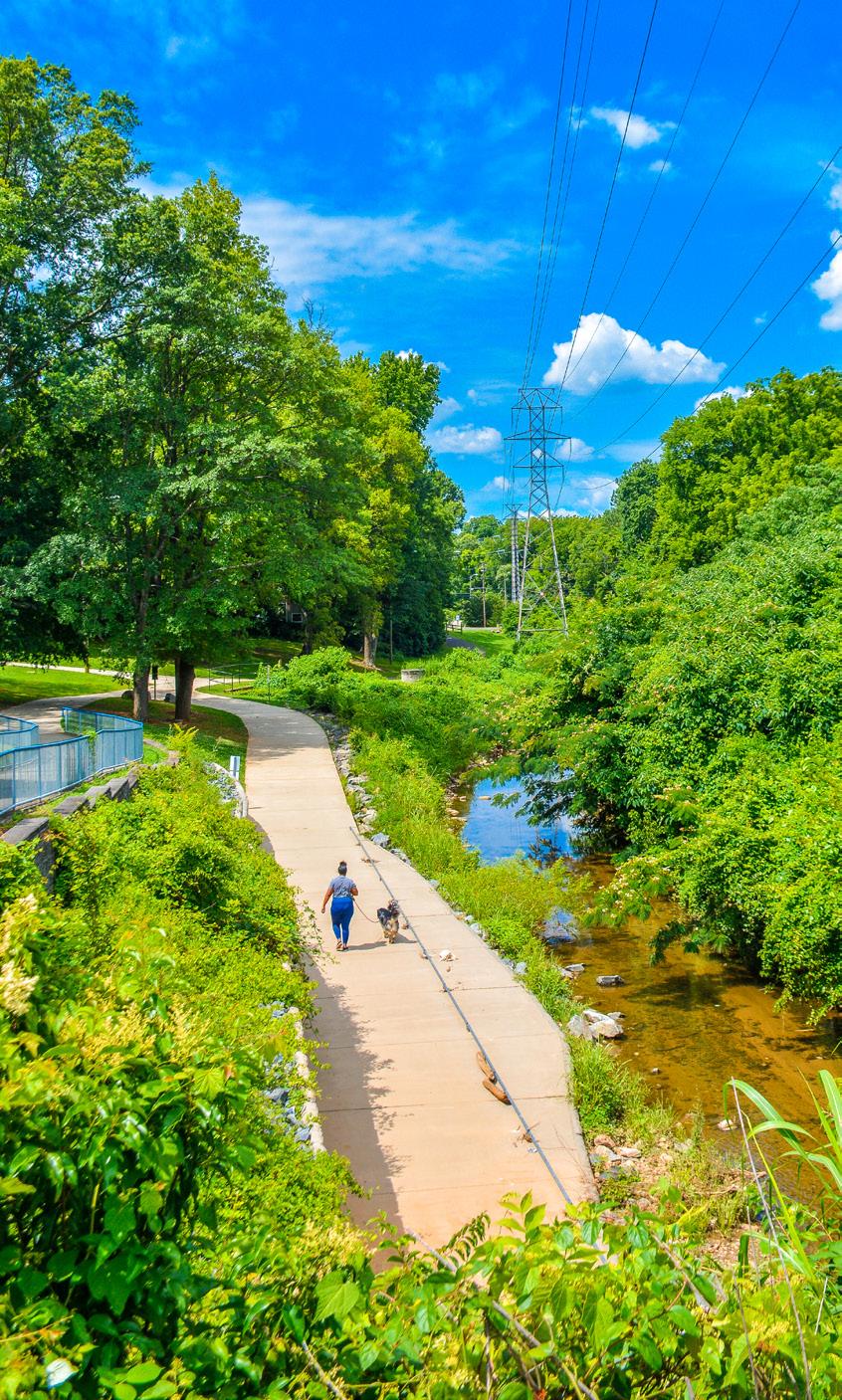
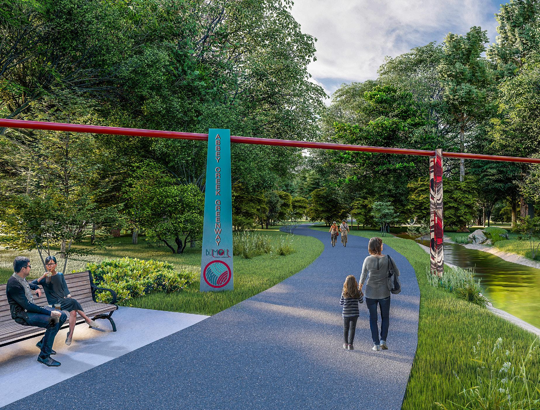
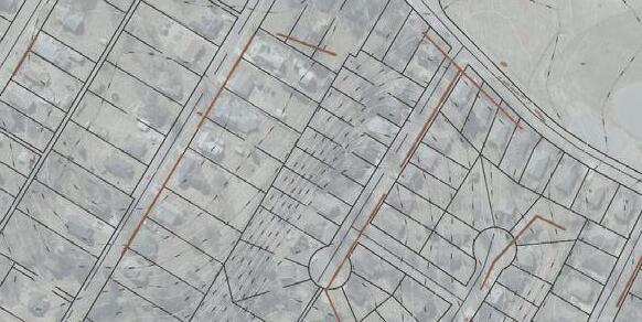
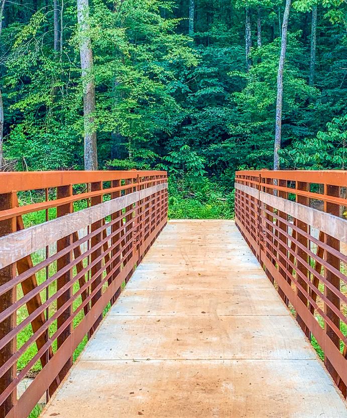
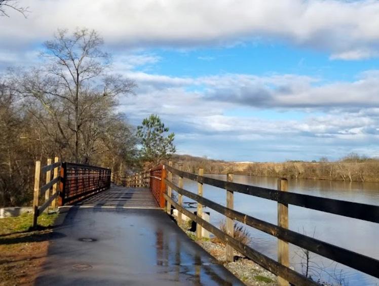
Extending Carolina Thread Trail from Catawba River into Gaston County, Abbey Creek Greenway is a 1.2-mile, 10-foot-wide paved greenway system designed to connect the heart of downtown Belmont, Kevin Loftin Riverfront Park, and the new municipal building and recreation complex.
1.2 miles long
10-foot-wide paved path
300 linear feet of boardwalk
Prefabricated substructure and bridge
Multiple trailheads and pocket parks
Carolina Thread Trail grant
NCDOT TIP coordination: B-6051/U-6143
Greenway Features: This unique stretch of greenway incorporates 300 linear feet of boardwalk, a prefabricated substructure/bridge, multiple trailheads, and unique placemaking opportunities and pocket parks.
Creative Floodway & Stormwater Solutions:
To enhance users’ experience, greenway alignment was adjusted to create a low curb-rail boardwalk and avoid an expensive permitting process. Stone and a xeri-scape planting palette were used for dry creek beds and swales.
Public-Private Partnership: As the flagship capital improvement (CIP) project for the City of Belmont’s greenway master plan, this section of trail came to life from a publicprivate partnership with Kaplan Residential, the developer of multi-family community The Morris at Belmont.
NCDOT Coordination: From the outset of the project, NCDOT coordination was a key component of this project for the crossing of East Catawba Street (Hwy 7). Due to the location of the crossing and proximity to the adjacent Kevin Loftin Riverfront Park, it was determined that a Rectangular Rapid Flashing Beacon would be employed to increase safety at the crossing.

“This is a growing area and a gateway into our community. We want to put our best face on.”
ADRIAN MILLER, Former Belmont City Manager

Stakeholder & Public Engagement: Modeling best practices for public-private partnerships, our team helped align the parties’ visions, goals, and master plans across multiple CIP projects through stakeholder management, public engagement, and meeting coordination with other public agencies and organizations. To enhance greenway entrances and the key visible terminus, ESP also coordinated with Gaston College to procure permanent easements, which involved three meetings and a presentation to the Board of Trustees.
CIP & Grant Management: To help balance various CIP projects and prepare for additional grants, our team also coordinated with local and state agencies (e.g. Catawba Lands Conservancy, NCDOT, GCLM PO, NCDEQ) to create a multiyear budget and schedule that will align the City of Belmont’s fiscal budget across departments. This project coordinates with the following state-funded TIP projects: B-6051 and U-6143.
Competitive Bid Packaging: To create a high-end space that stays within budget, upgrades were achieved by incorporating a priority focal-point feature, project phasing, allowances, and base bid alternatives into the bid process.

SCOPE OF SERVICES
Master Planning
Landscape Architecture
Civil Engineering
Geotechnical Services
Surveying
Public Engagement
Stakeholder Management
City Council Presentations
3D Modeling
Hydraulic Modeling
Grant Coordination
Real Estate Acquisition & Platting


HUNTERSVILLE, NC
ESP is currently designing a 3.2-mile paved, ADA-accessible greenway trail within the McDowell Creek Greenway corridor to expand the existing greenway west from Beatties Ford Road to Gilead Road.
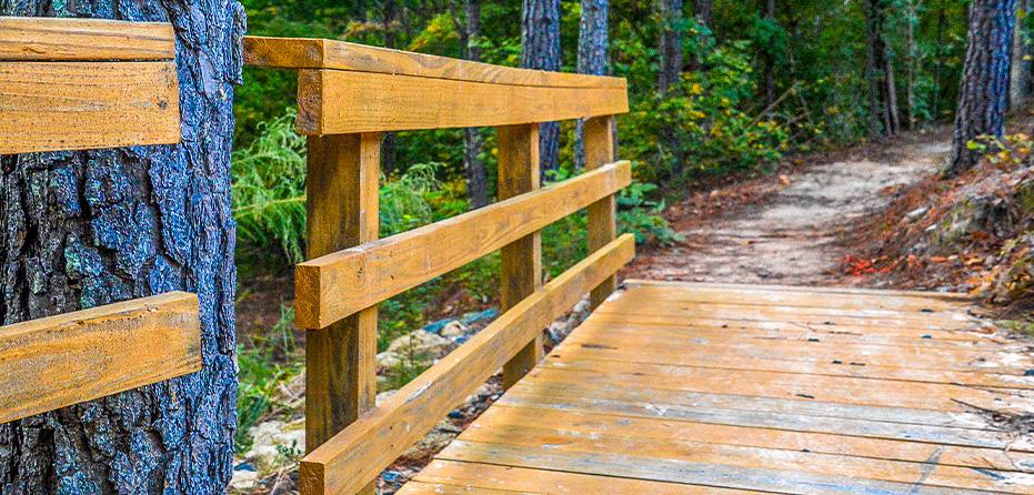
Greenway Features & Connectivity: This 12-foot-wide greenway path will include two pedestrian bridges, nine boardwalks, three concrete overlooks, and a trailhead with 60 parking spaces. As part of the overall project, our team will be focused on providing connectivity to six adjacent neighborhoods along the corridor and coordinating with the preservation of a historic grist mill site.
Site Constraints: The project area includes stream crossings, a riparian buffer corridor within a FEMA floodplain, an existing overhead bridge crossing, and coordination with a future CLTWater sewer trunk line upgrade project. The project also incorporates significant coordination and modeling efforts to facilitate an anticipated FEMA CLOMR to support construction of FEMA-regulated McDowell Creek crossings.
NCDOT Coordination: The trail’s southern terminus runs under and parallel to Beatties Ford Road (SR 2128) to provide access to the Barkley neighborhood at the intersection of Beatties Ford and McIlwaine Roads. ESP is preparing the NCDOT Encroachment/Municipal Agreements and supporting documentation for this portion of the greenway. Additionally, ESP anticipates one pedestrian bridge just upstream of the roadway to be constructed within NCDOT right-of-way.
Master Planning
Landscape Architecture
Civil Engineering
Geotechnical Services
Surveying
Public Engagement Stakeholder Management City Council Presentations 3D Modeling
Hydraulic Modeling
Grant Coordination
Real Estate Acquisition & Platting

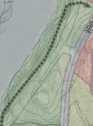
DAVIDSON, NC

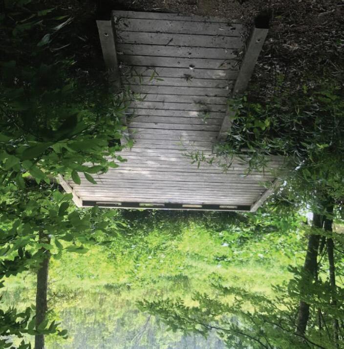
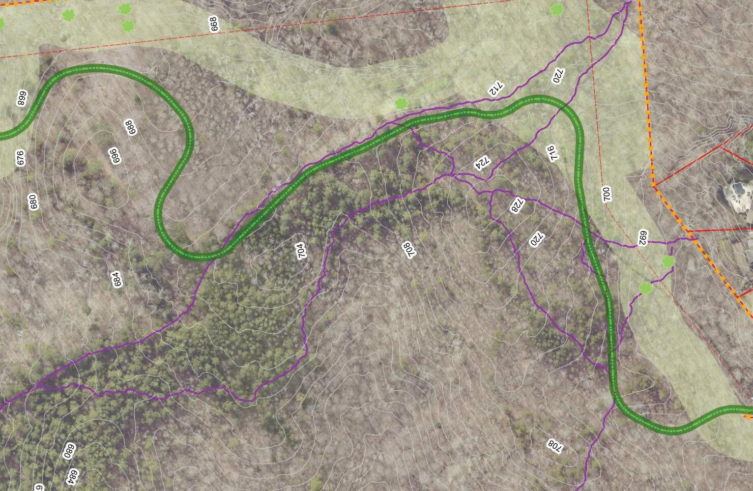
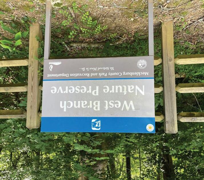
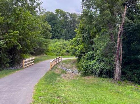
This 0.75-mile, ADA-accessible pedestrian and bicycle route will traverse the West Branch Nature Preserve and connect the River Run and Summers Walk neighborhoods within the West Branch Rocky River Greenway corridor.
Connectivity: This 10-foot-wide paved trail will lengthen the greenway and sidewalk network that currently connects Antiquity Trail, South Prong Rocky River Greenway, and the existing West Branch Rocky River Greenway.
Community: Thoughtful trail design will create unique opportunities for community events such as races, benefit walks, and linear festivals as it crosses county-owned properties and connects existing and future trail segments.
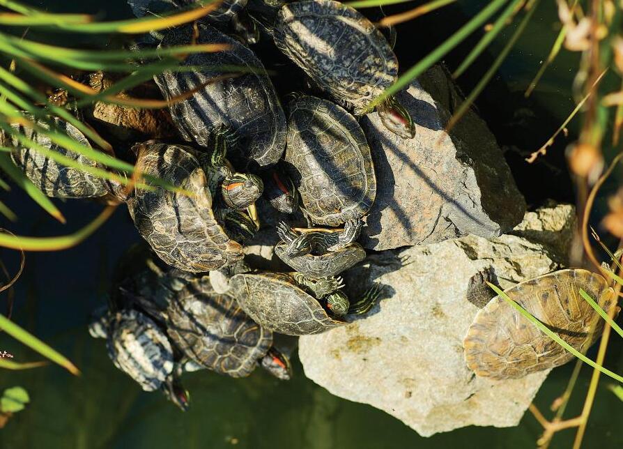
Ecology & Inclusion: This ADA-accessible trail will allow residents of all abilities to enjoy West Branch Nature Preserve, one of Mecklenburg County’s most ecologically diverse wetlands. Design will focus on creative, sustainable solutions to celebrate and preserve this important asset.
Site Constraints: Site evaluations indicate challenging topography throughout the trail, a vast wetland/lowland area in the northern/southern portions, and a large channel along the eastern side that creates a natural valley between Summers Walk and West Branch Nature Preserve.
Agency Coordination: Building a paved trail through a nature preserve with challenging typography has required extensive coordination between the Town of Davidson, Mecklenburg County, and our environmental partner to create a positive and accessible user experience while also making minimal impacts.
SCOPE OF SERVICES: RIVER RUN TO S UMMERS WALK
Site Planning
Surveying


CHARLOTTE, NC
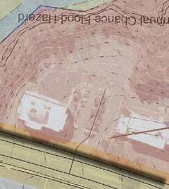
For a 12-foot-wide section of Little Sugar Creek Greenway that runs through Cordelia Park under Parkwood Avenue, Mecklenburg County selected ESP to evaluate the hydraulic function of an existing culvert at Parkwood Avenue that was prone to flooding and required remediation.
Site Challenges: Since the culvert is within a floodway with impacted structures nearby, ESP evaluated alternatives to relieve greenway inundation and provided conceptual designs and opinions of cost estimates.
Selected Design: The selected design raises the greenway trail to reduce the frequency and depth of inundation during smaller storm events while not impacting regulatory flood elevations.
Innovative Approach: ESP recommended an innovative approach that included combining in-stream structures to reduce sedimentation, improving culvert inlet hydraulics, and raising the greenway path.
FORT MILL, SC | Completed 2019

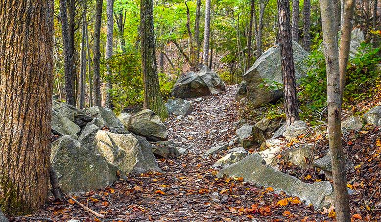
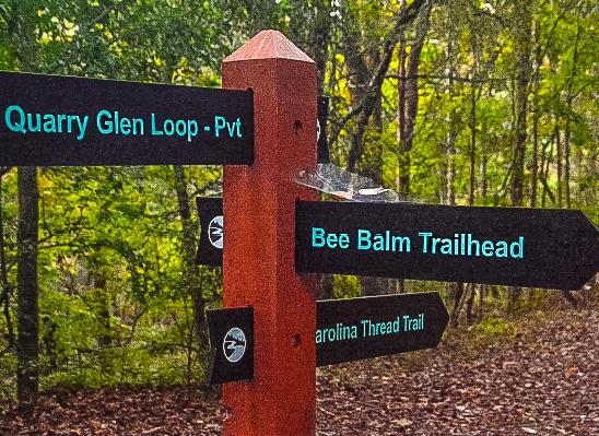
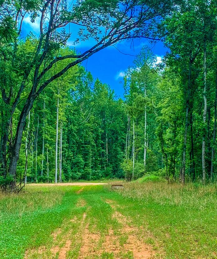
Masons Bend Trail is a 1.9-mile natural surface trail that extends the Carolina Thread Trail along the banks of the Catawba River.
Honoring History: Winding through a historic rock quarry and following an old railbed, this trail honors the site’s unique history and takes advantage of high points and bluffs to create viewing areas that overlook the river. Logo, signage, and wayfinding design was also provided.
Public-Private Partnership: Resulting from a publicprivate partnership between the Town of Fort Mill, Catawba Lands Conservancy, and Crescent Communities, the trail traverses the adjacent Masons Bend residential community and five other properties.
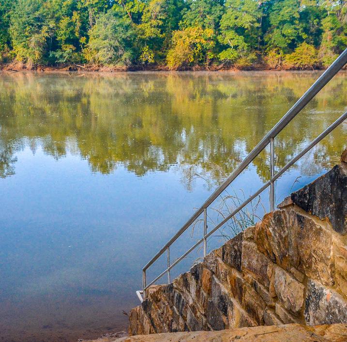
Connectivity & Water Access: Masons Bend Trail includes public access points and trailheads that connect to the Carolina Thread Trail in multiple locations. Also situated along the trail are pedestrian seating areas and a kayak/ canoe launch.
Master Planning
Landscape Architecture
Civil Engineering
Geotechnical Services
Surveying
Logo Design
Wayfinding/Signage Design
HARRISBURG, NC | Construction underway (as of Dec. 2021)
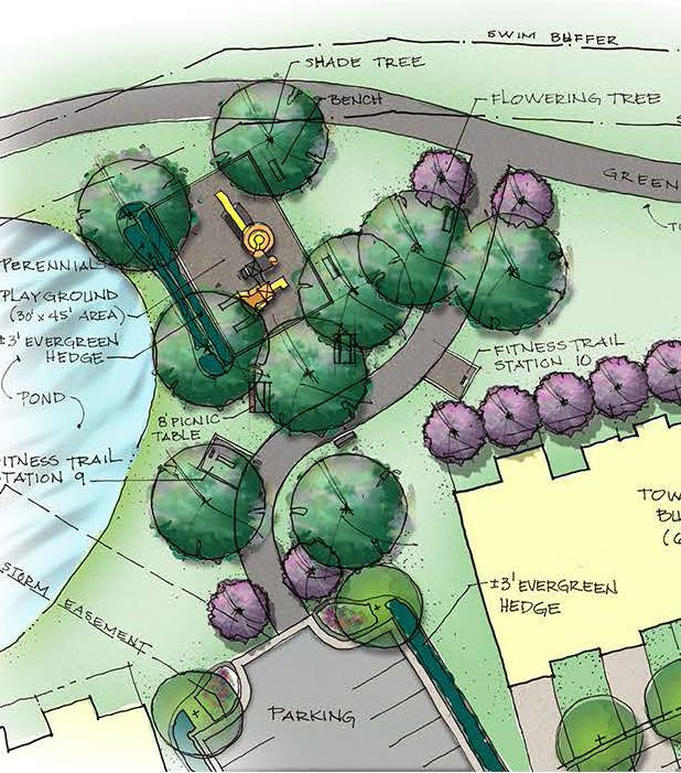
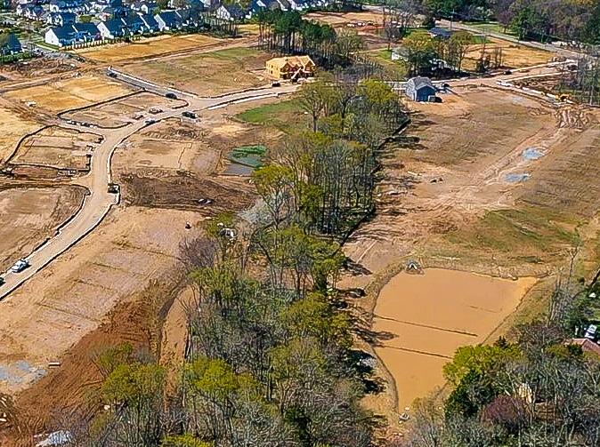
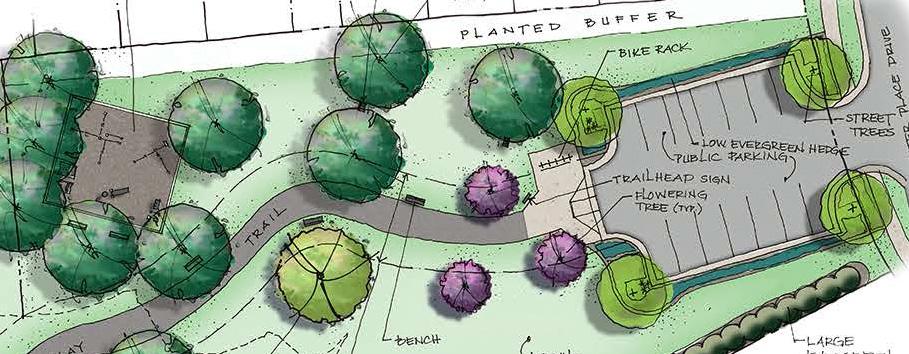
To connect with Cabarrus County’s larger greenway system, ESP provided master planning and design for a proposed 2,330 linear feet of greenway, trailhead, and trail network through the Harrisburg Village residential development and along the banks of a one-mile stretch of perennial stream.
Design Features: Creating viewpoints of the stream, ESP designed the hard-surface trail to wind through natural areas along the stream banks. Our team also designed the trailhead as well as additional parking areas for public access at four of the ten fitness stations along the trail.
Hydrologic/Hydraulic Permitting: Our team provided culvert-sizing hydrologic/hydraulic and local floodplain permitting for the residential development and greenway/ trail system. Support for development within the regulated floodplain of Davis Branch was also provided.
Public-Private Partnership: ESP coordinated with both parties of a public-private partnership to help bring this project to life with the Town of Harrisburg and Eastwood Homes, developer of the Harrisburg Village multi-family residential community.
Survey & Easements: Our team conducted surveys in the areas around the trail to assist with placement of the trail network around existing topography and trees. Also included were easement plats with metes and bounds descriptions throughout five properties.
• Master Planning
• Landscape Architecture
• Hardscape Design
• Survey and Easements
• Hydrologic/Hydraulic Permitting
MECKLENBURG
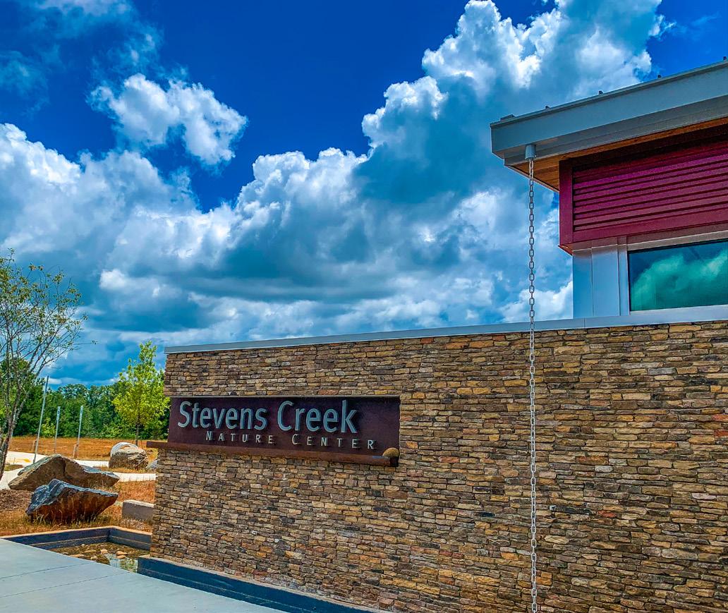
MINT HILL, NC | Completed 2020
This 275-acre masterplanned complex takes advantage of the site’s natural resources while also providing an 11,000-square-foot nature center, passive park, two miles of stream restoration within the Goose Creek Watershed, and a much-needed public water and sewer extension to an unserved area of the Town of Mint Hill. Capital investment for this project totaled over $20 million in a public partnership across multiple municipal agencies.
Environmental Inventory/Survey: ESP completed property deed research, hydraulic model updates, and design surveys for topography, significant stream direction changes, and future conservation easements. Following construction, as-built surveys of the stream and adjacent corridor were provided using UAV lidar and traditional field survey.
Stormwater Improvements: ESP performed hydraulic analysis for the stream restoration design team, including model updates for new stream alignment to improve overall water quality and for the addition of a pedestrian bridge. ESP also coordinated with project designers and an ongoing sewer replacement project to provide floodplain permitting services, including successful CLOMR and LOMR submittals.
CITY OF MOUNT HOLLY
MOUNT HOLLY, NC | Completed 2021
Mount Holly River Hawk Greenway is envisioned to stretch eight miles along the shores of the Catawba River from Tuckaseege Park to Mountain Island Park. ESP provided materials testing and geotechnical engineering services for two trails during Phase I of greenway construction.
A&E Riverfront Trail: Prior to ESP services, observations of voids within an embankment slope, tree loss, and silt deposits over a trail path led to discovery that the design of this 1.2-mile paved riverfront trail had been based on a 15-year-old survey, which eventually resulted in shoreline erosion and greenway distress as project plans significantly varied from shoreline topography and water elevations. Our team investigated distressed areas using continuous ground-penetrating radar (GPR) to identify subsurface anomalies or voids and further evaluate them with soil test borings. A final report presented our findings along with recommendations for temporary stabilization and erosion control using an engineered system of geosynthetic turf reinforcement mats and aggregate surface protection. Recommendations for future studies and construction considerations were also provided.
Dutchman’s Creek Trail: For a half-mile paved segment of Dutchman’s Creek Trail, our team provided materials testing services and identified compliance items related to project plans and specifications for the construction of approximately 8,600 linear feet of 30-inch gravity sewer and associated appurtenances, including cast-in-place concrete for sewer manhole slabs and concrete pipe supports.
• Materials Testing • Geotechnical Engineering
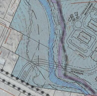
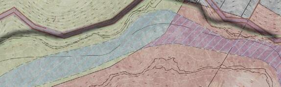
CLOMR Streamline (Adjusted)
CLOMR Proposed 100yr Floodplain
CLOMR Proposed FEMA Floodway
CLOMR Proposed CEA Floodway
CLOMR Proposed 100yr Future Floodplain
CLOMR Existing 100yr Floodplain
CLOMR Existing FEMA Floodway
CLOMR Existing CEA Floodway
CLOMR Existing 100yr Future Floodplain
BaseLayers EffectiveStreamline
ProposedGreenway/PedestrianBridgeAlignment
MECKLENBURG COUNTY
HUNTERSVILLE, NC | Completed 2020
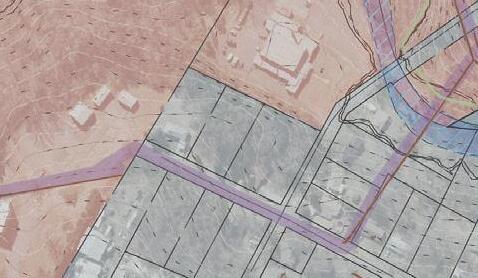
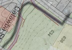
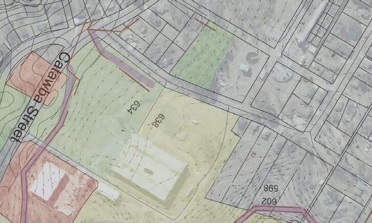
OTo help restore approximately 7,200 linear feet of stream in northwest Mecklenburg County, ESP supported stream restoration efforts in conjunction with a proposed greenway adjacent to Long Creek and its tributary, Dixon Branch.
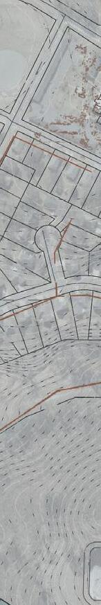
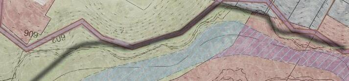
LongCreekandDixonBranch StreamRestoration MecklenburgCounty,NC
Notes: Contoursgeneratedfromsurveyand2017LiDAR. ElevationsbasedonNAVD88feet.
Hydraulic Permitting: ESP provided pre- and postconstruction hydrologic/hydraulic design support and map revision preparation for this stream restoration project, including successful CLOMR and LOMR permitting packages.
EffectiveinformationistakenfromtheNFHL. ParcelslabeledwithParcelID.
MapDate:April2020
BaseLayers
EffectiveStreamline
ProposedGreenway/PedestrianBridgeAlignment 1' 5' AffectedParcels BuildingsonAffectedParcels ProposedContours 1'
ExistingContours
Agency Coordination: For this project, ESP coordinated with local floodplain officials and FEMA case reviewers, including NC Department of Transportation, U.S. Army Corps of Engineers, NC Department of Water Resources, and Charlotte-Mecklenburg Storm Water Services.
EffectiveFloodZones ZoneAE
FEMAFloodway
CommunityEncroachmentArea ShadedX(1%FutureConditions)
Survey & UAS Lidar: ESP performed a post-construction as-built survey of the stream channel and floodplain corridor using a combination of field-run survey and unmanned aerial systems (UAS) mounted with lidar to collect topographic and limited feature information for approximately 100 acres.
Hydraulic Permitting
Surveying
UAS Lidar Topography